August 29, 2021
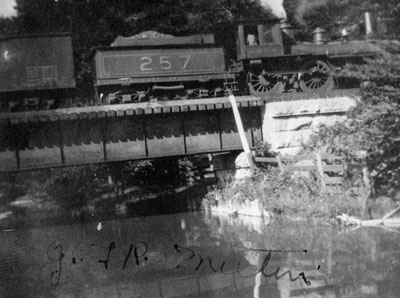
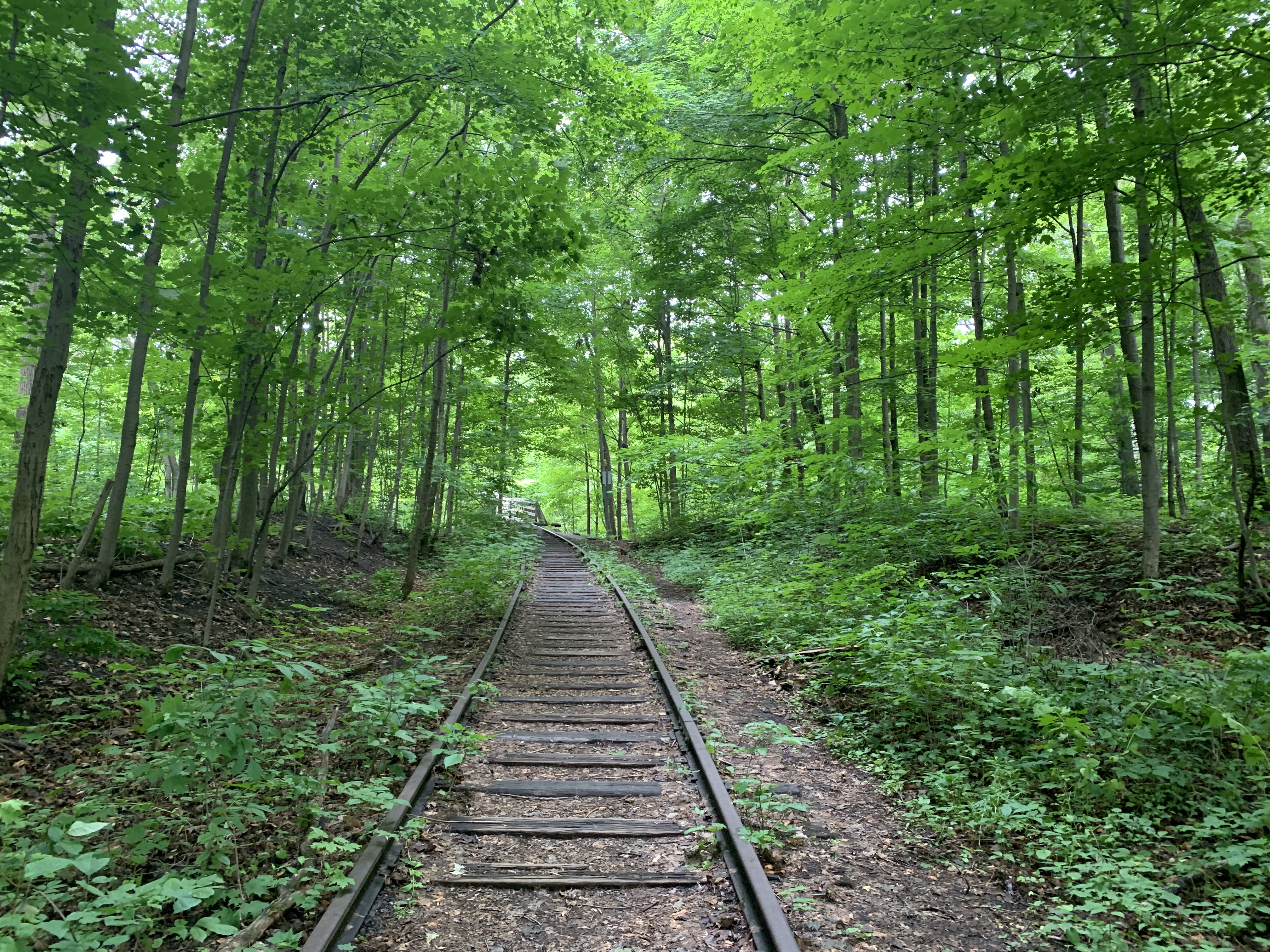
The Town of Georgina is the northern most community in the Township of York. It’s made up of the three little towns of Keswick, Sutton and Jackson’s Point and several smaller communities. At the turn of the last century it was a tourist attraction and served as cottage country for people from Toronto. In the early 20th century it was serviced by the Toronto & York Radial Railway which ran as far as Sutton. One of the objectives of the grand tour presented below was the photographing of two more relics from the old railway.
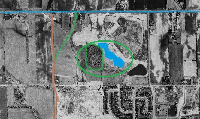
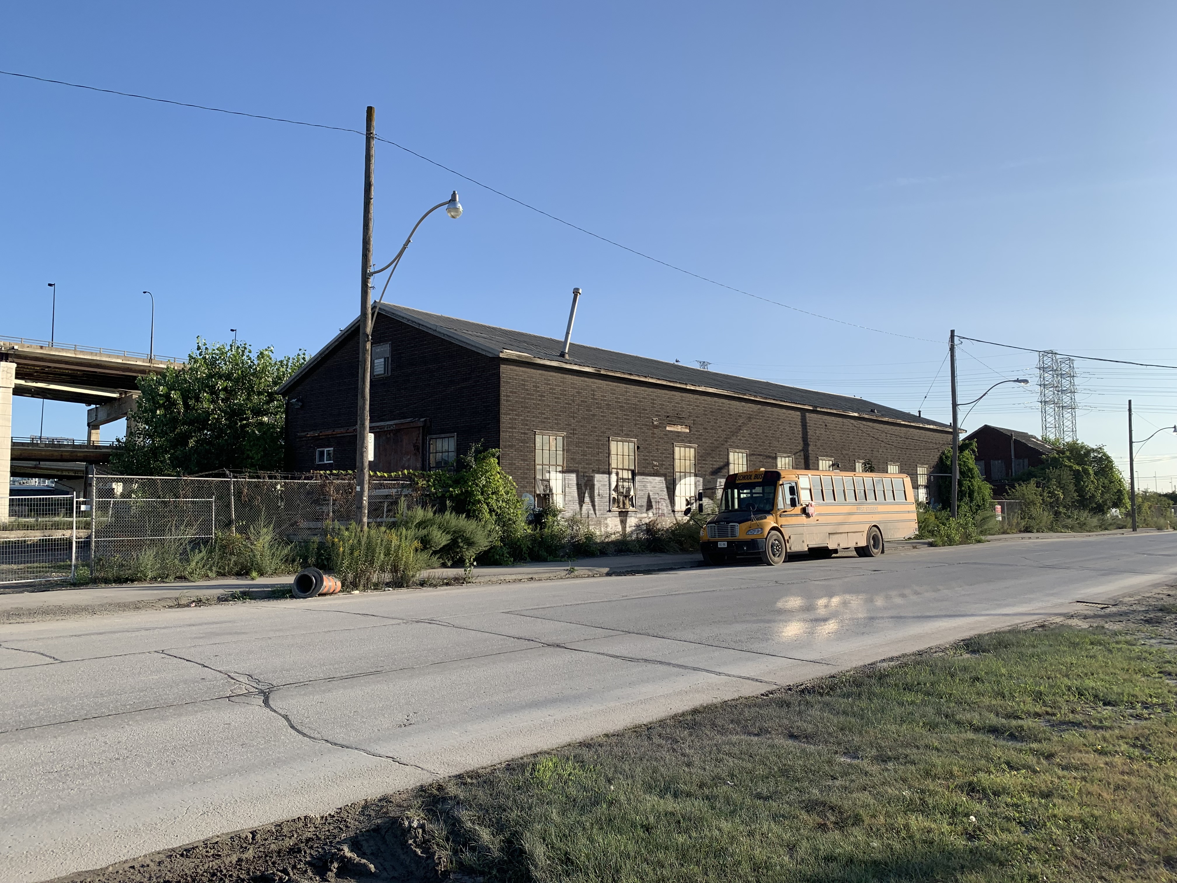
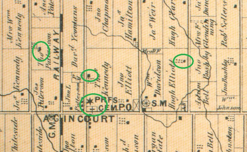
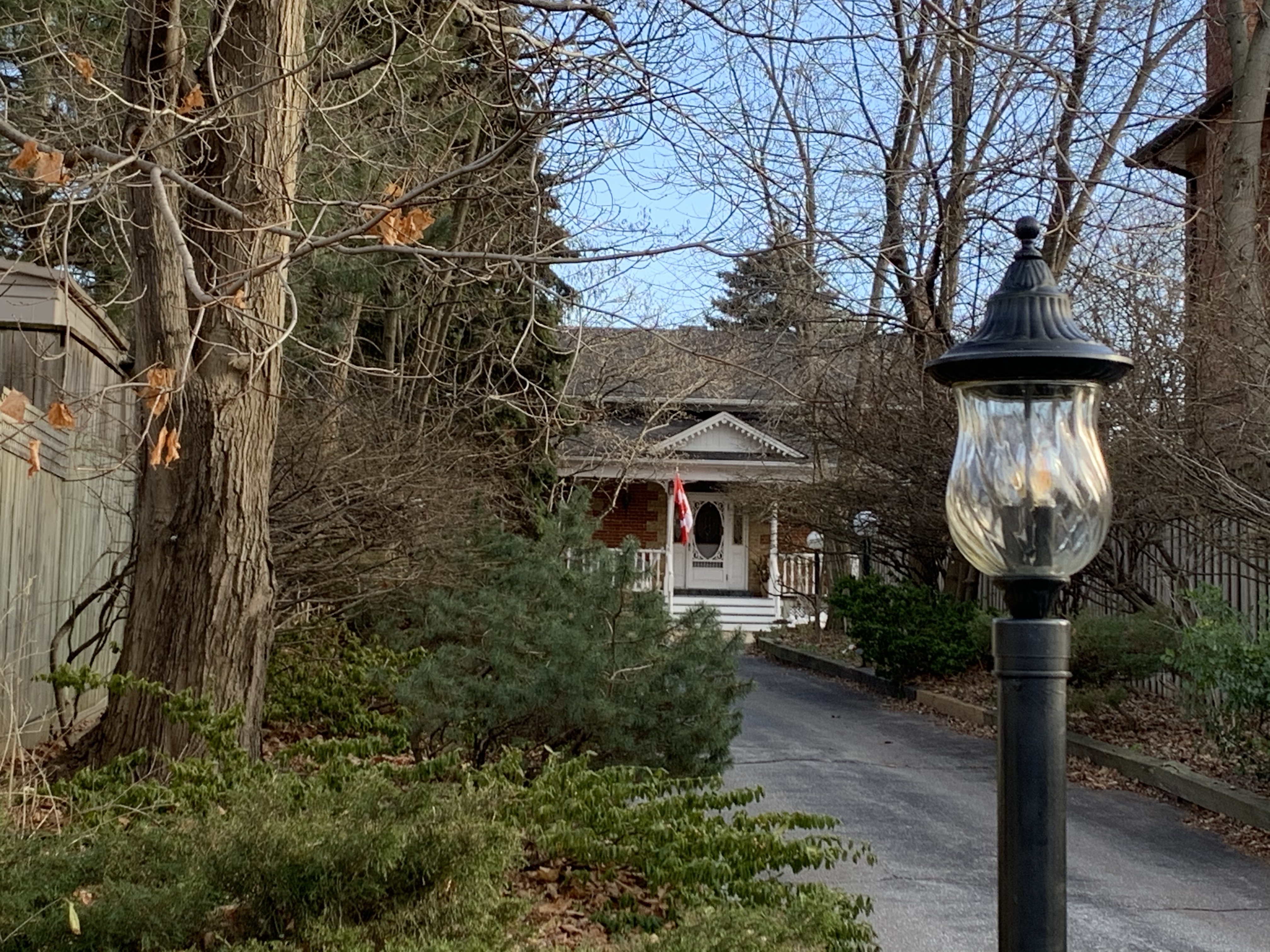
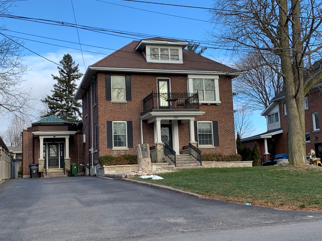
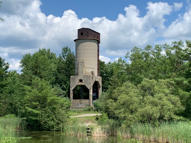
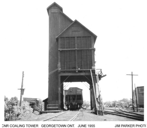
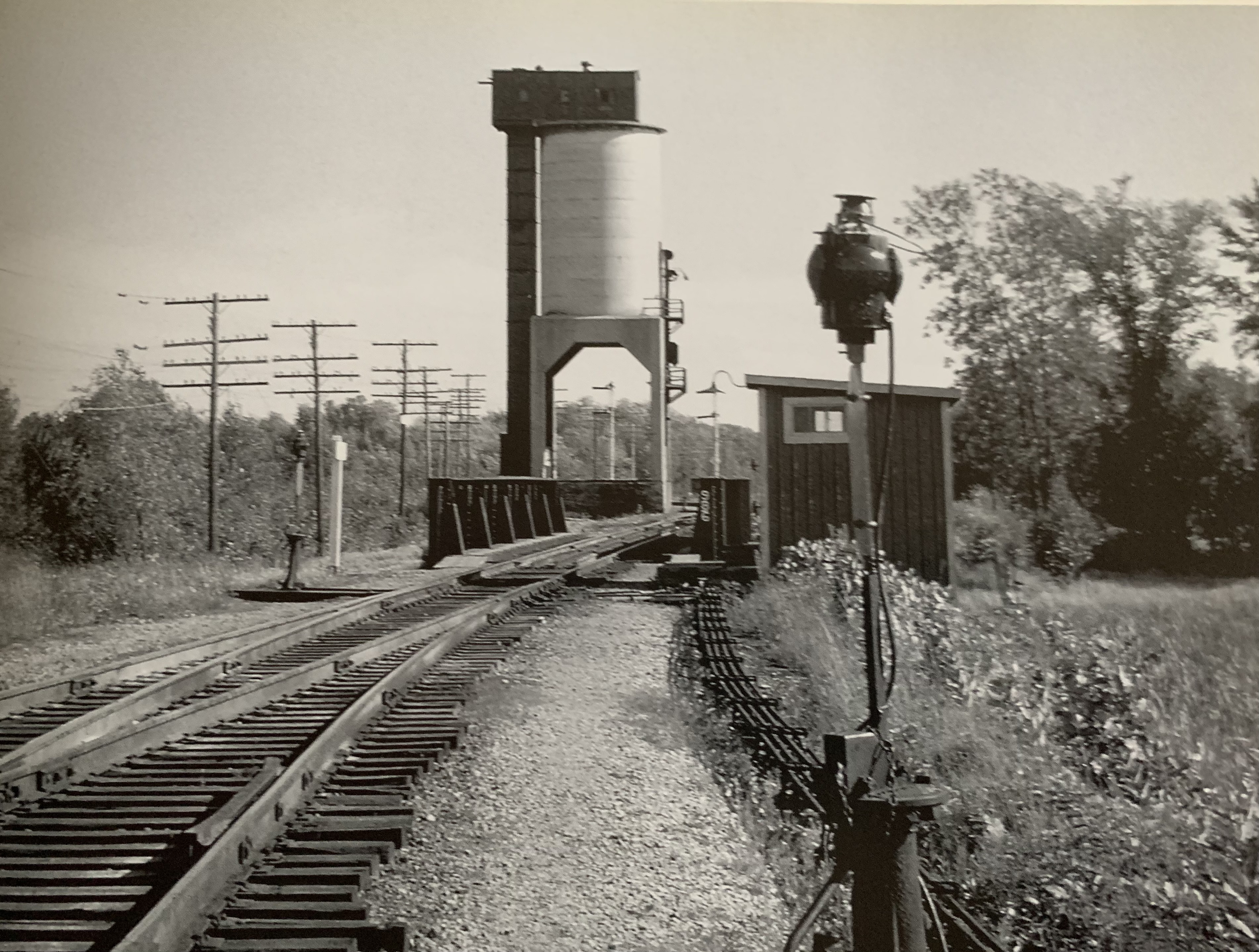
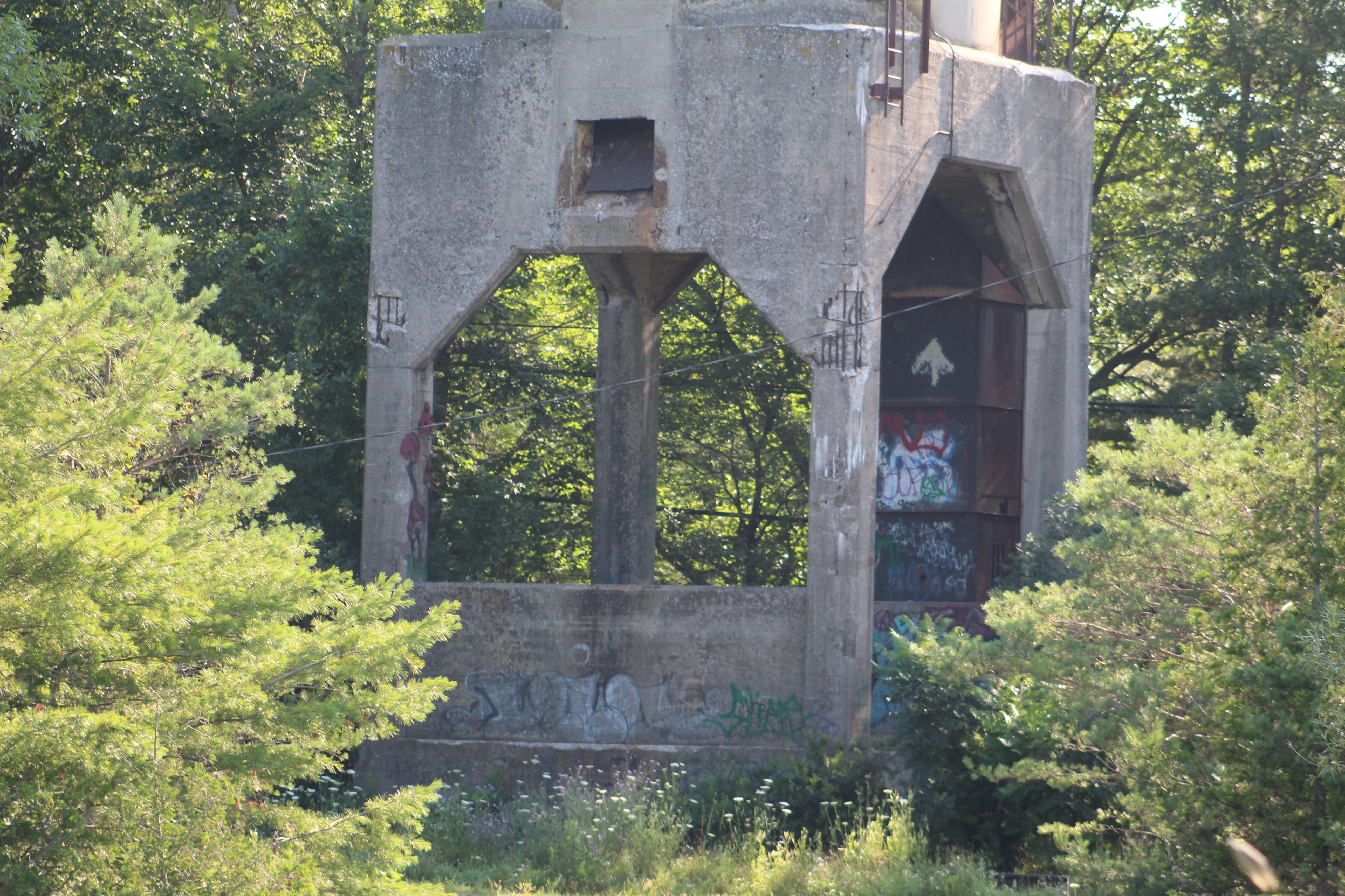
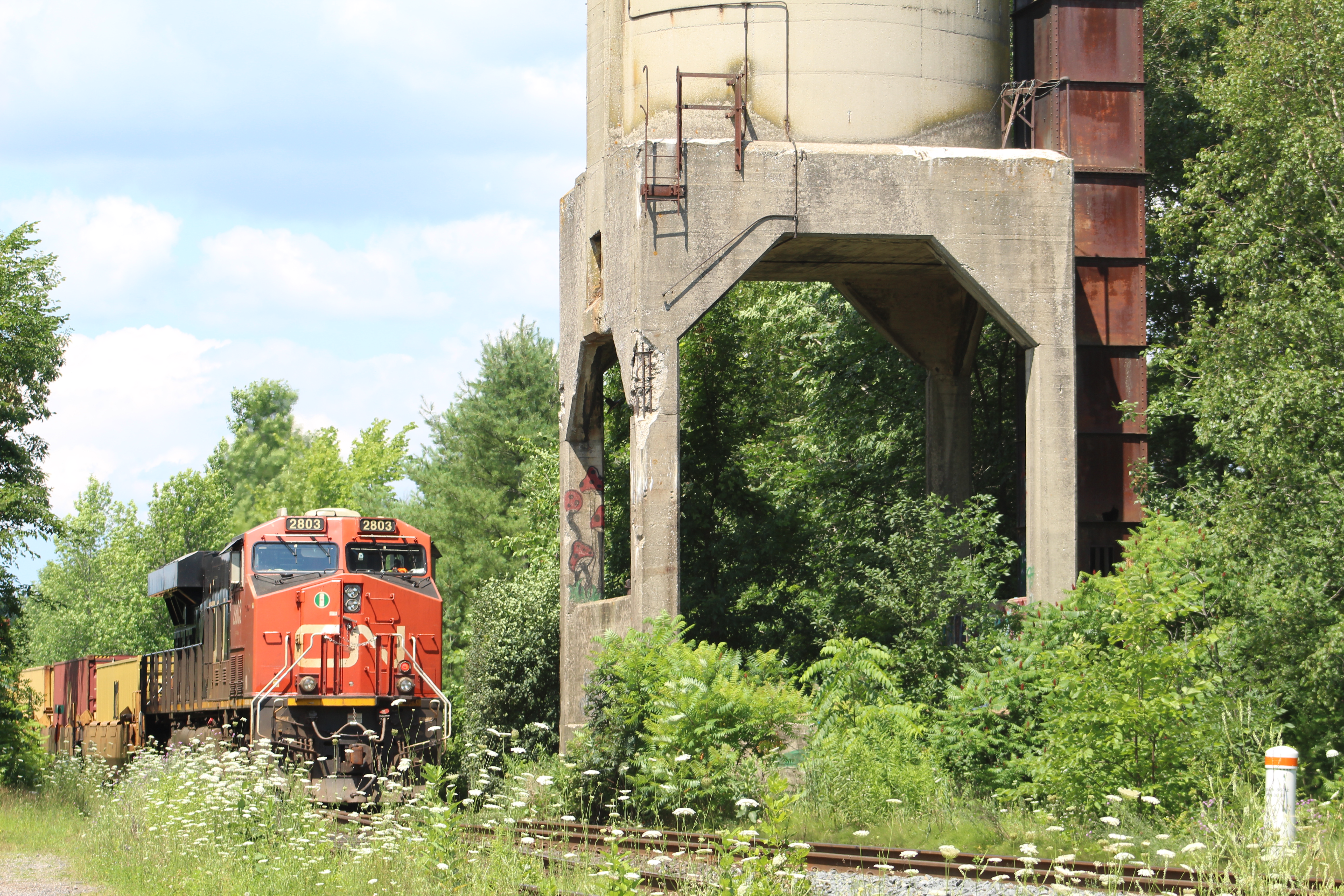
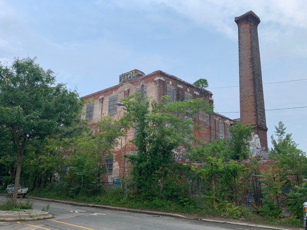
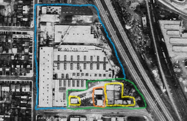
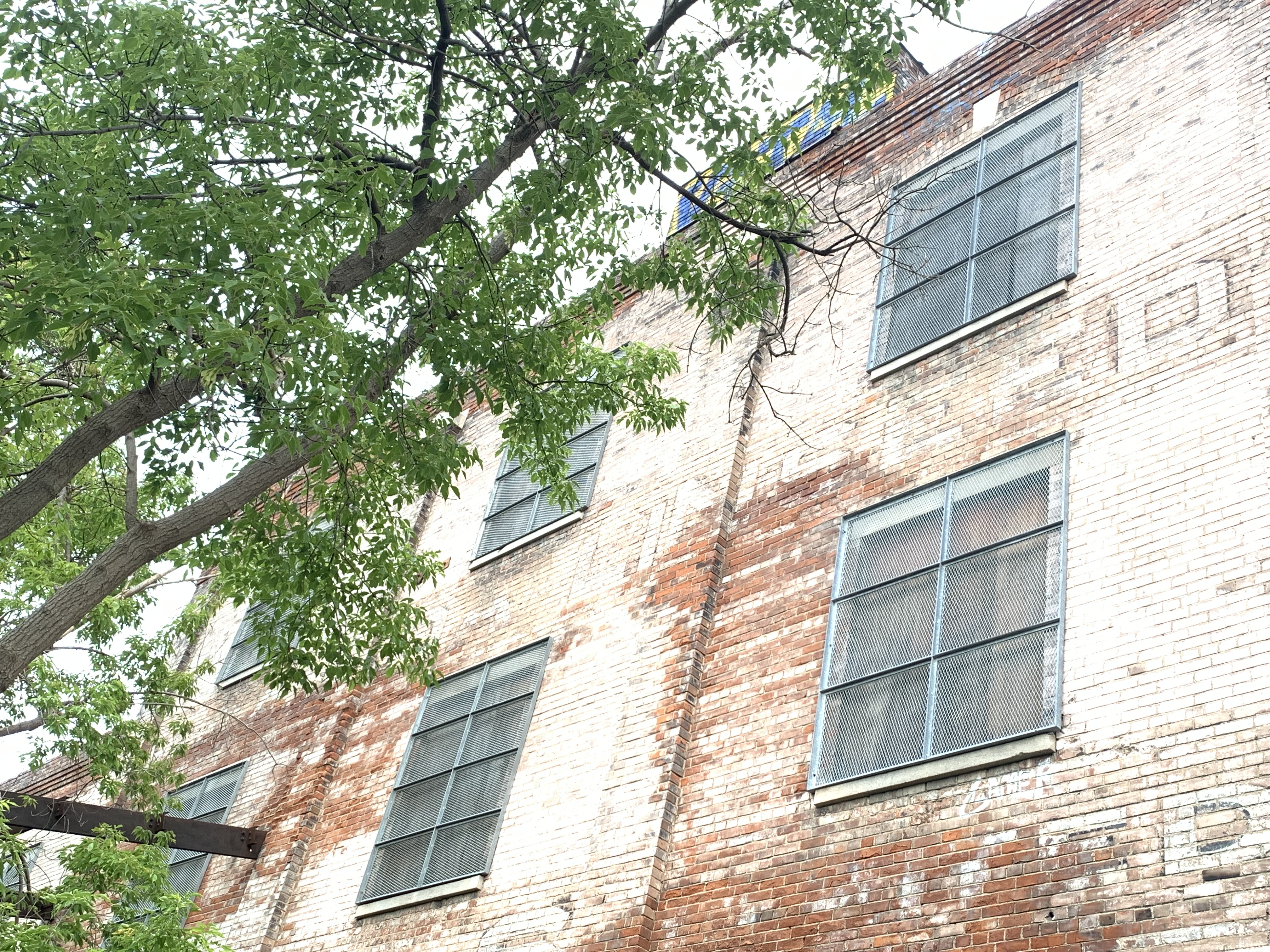
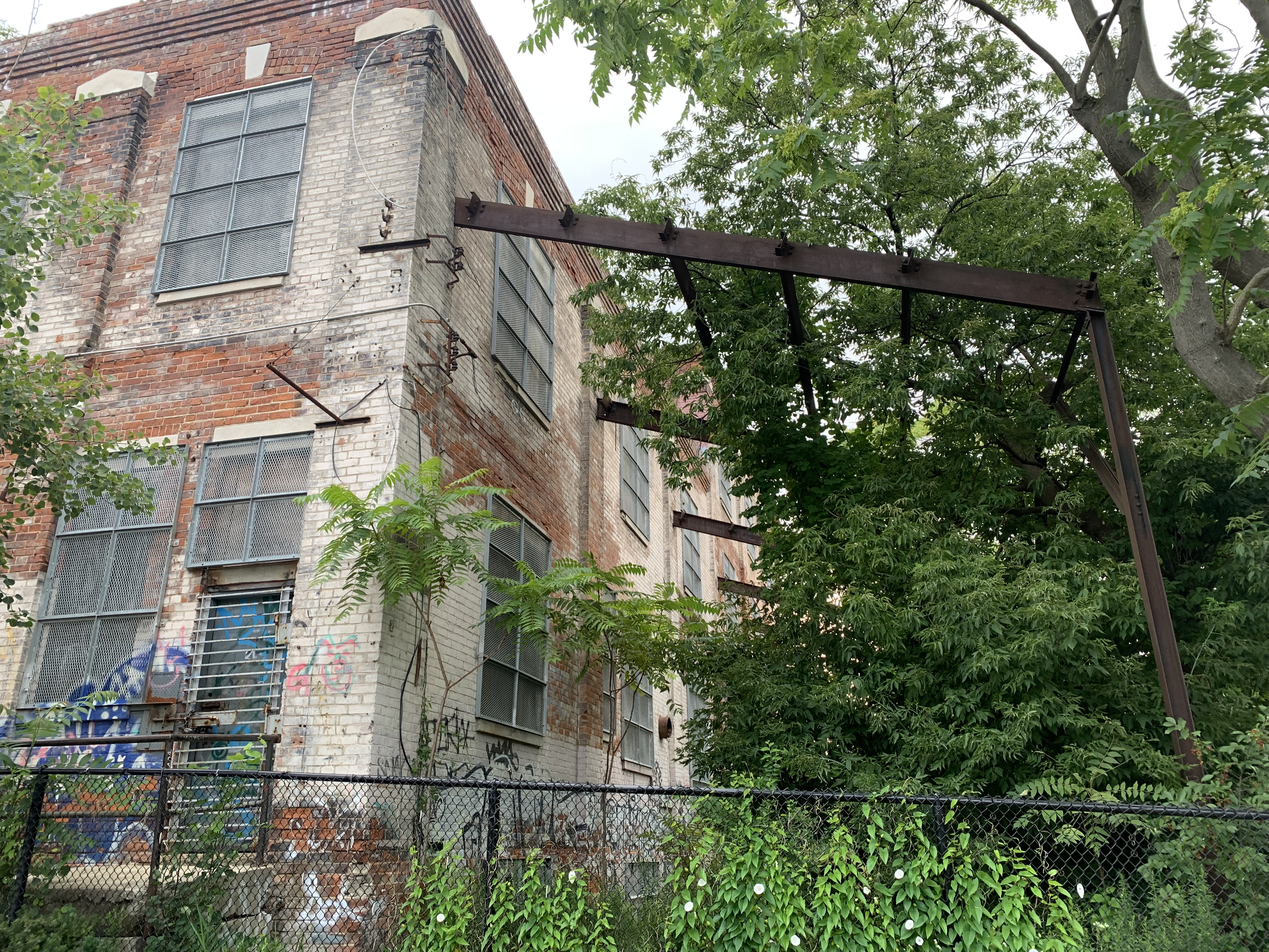
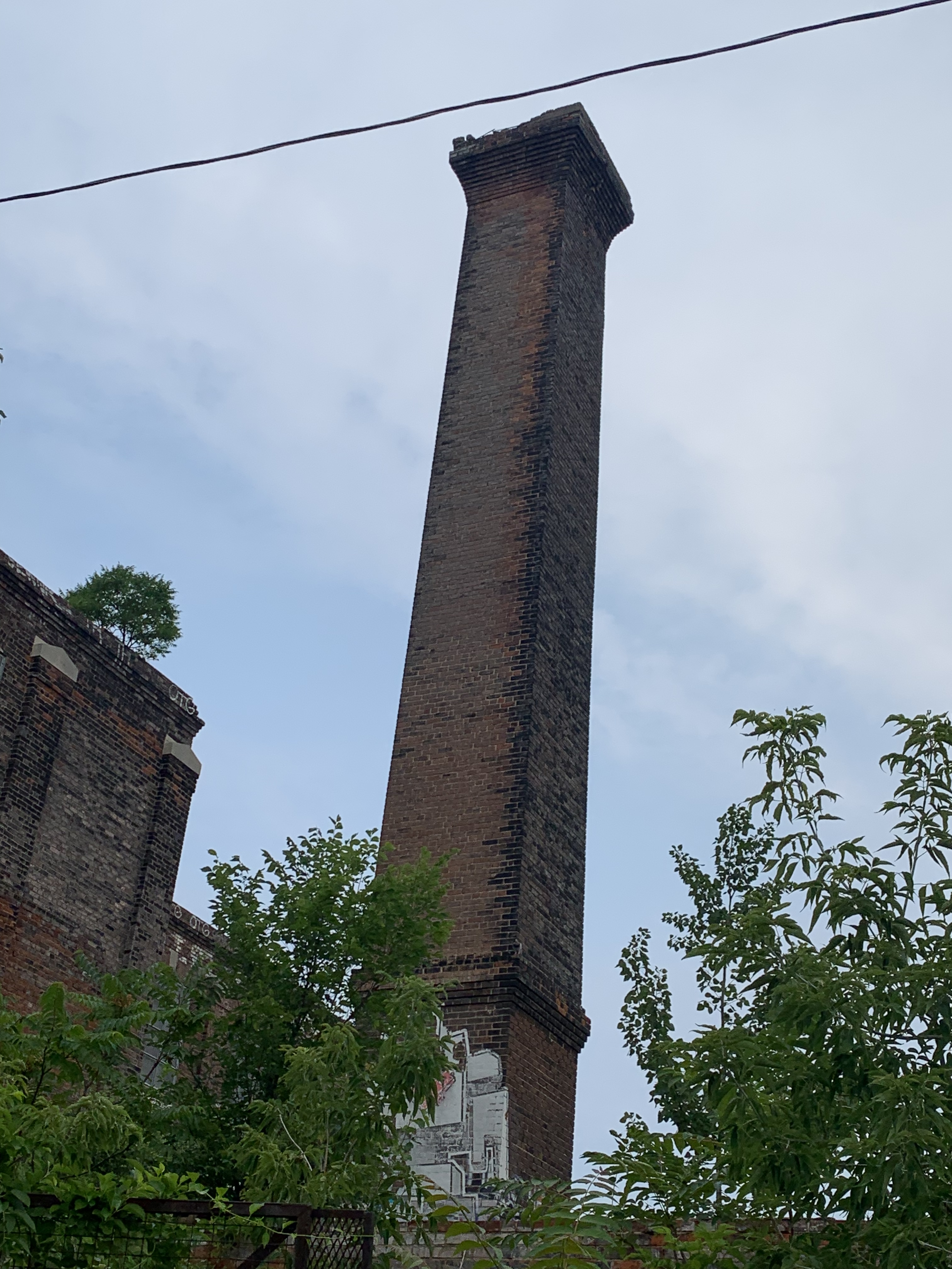
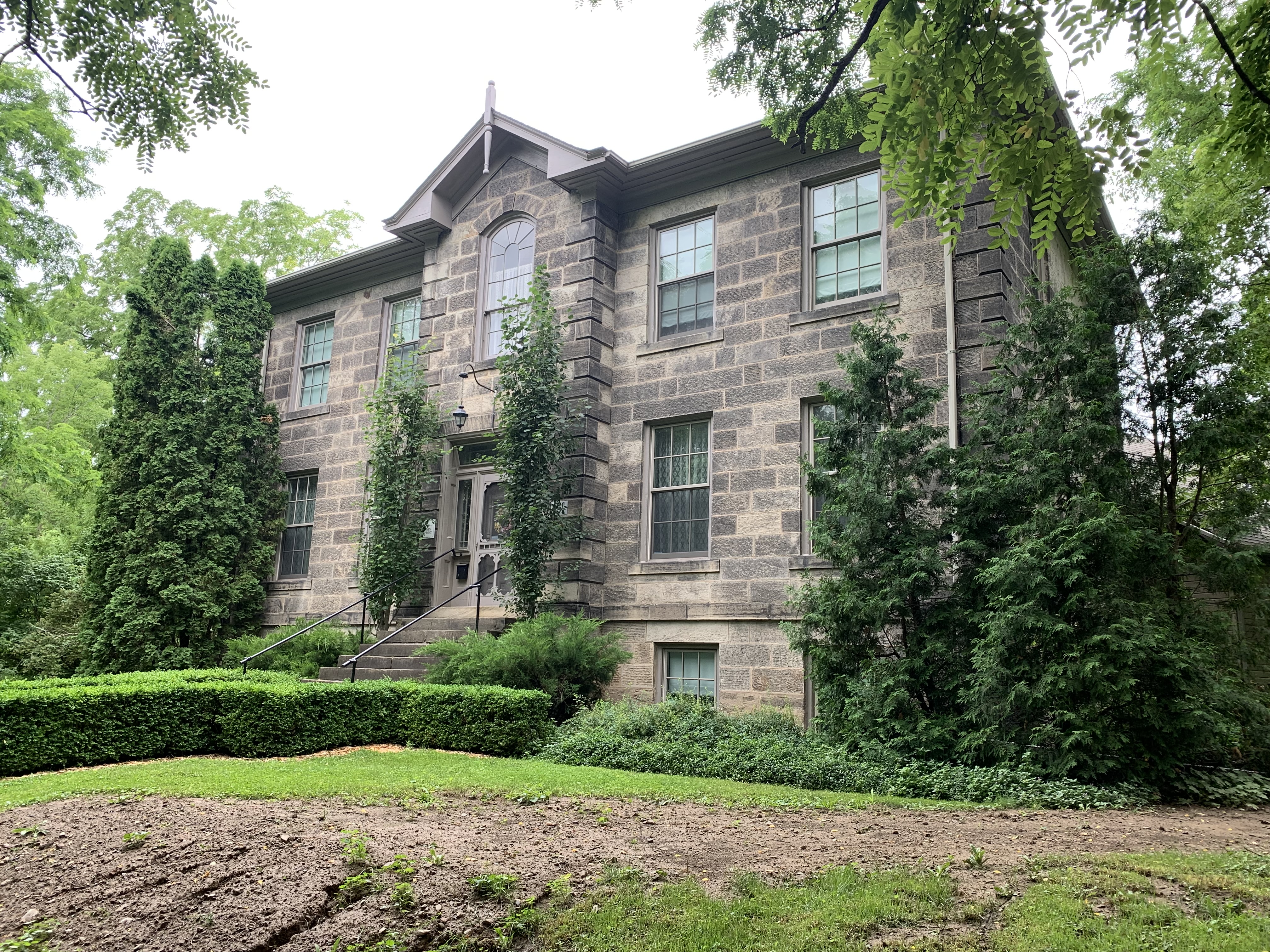
As the Toronto & York Radial Railway expanded north in 1899 it built power stations at Bond Lake and Lake Simcoe. The Bond Lake power house has been left abandoned and now is in a poor state of repair. The one at Lake Simcoe was located at Kennedy Road and Metro Road and is now in use as a private residence.
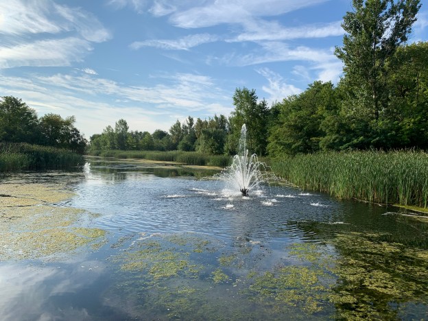
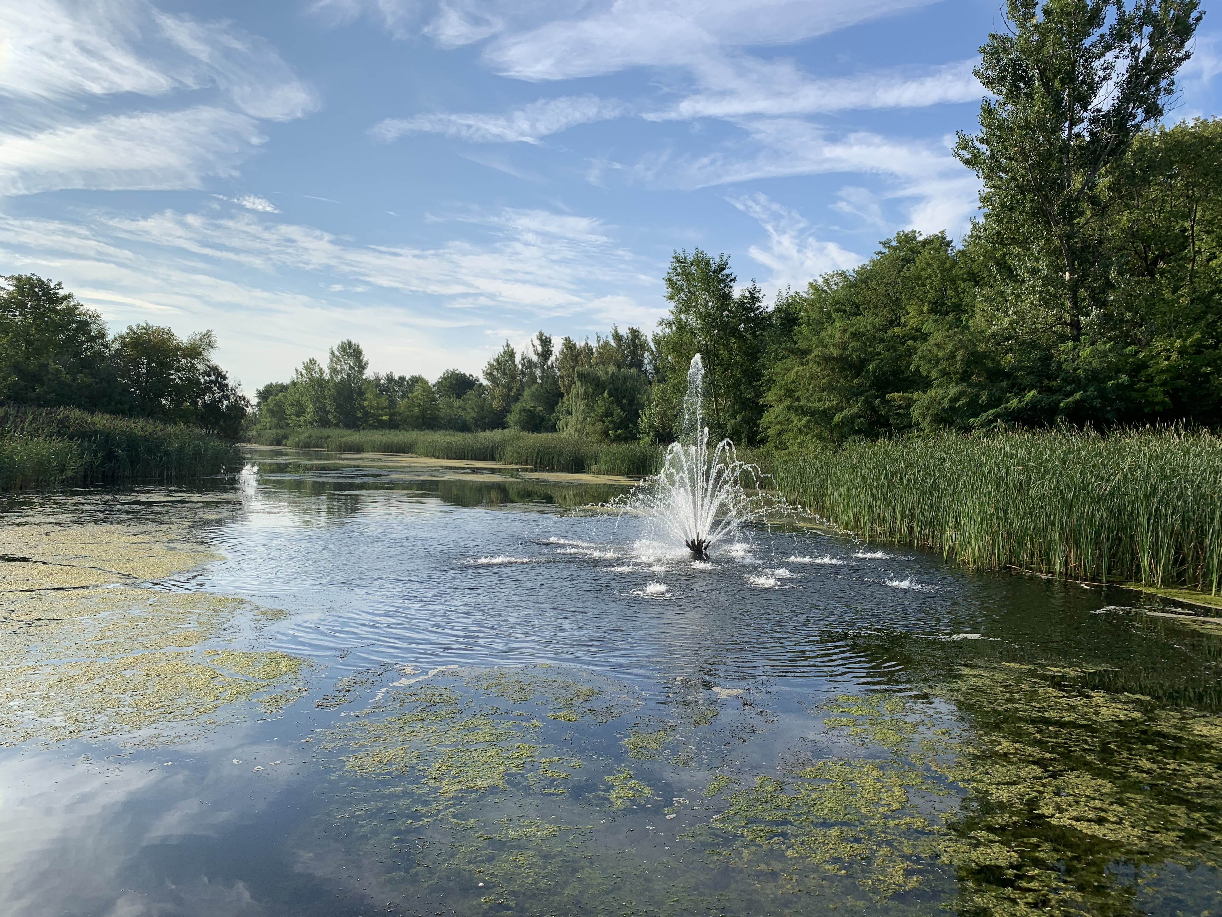
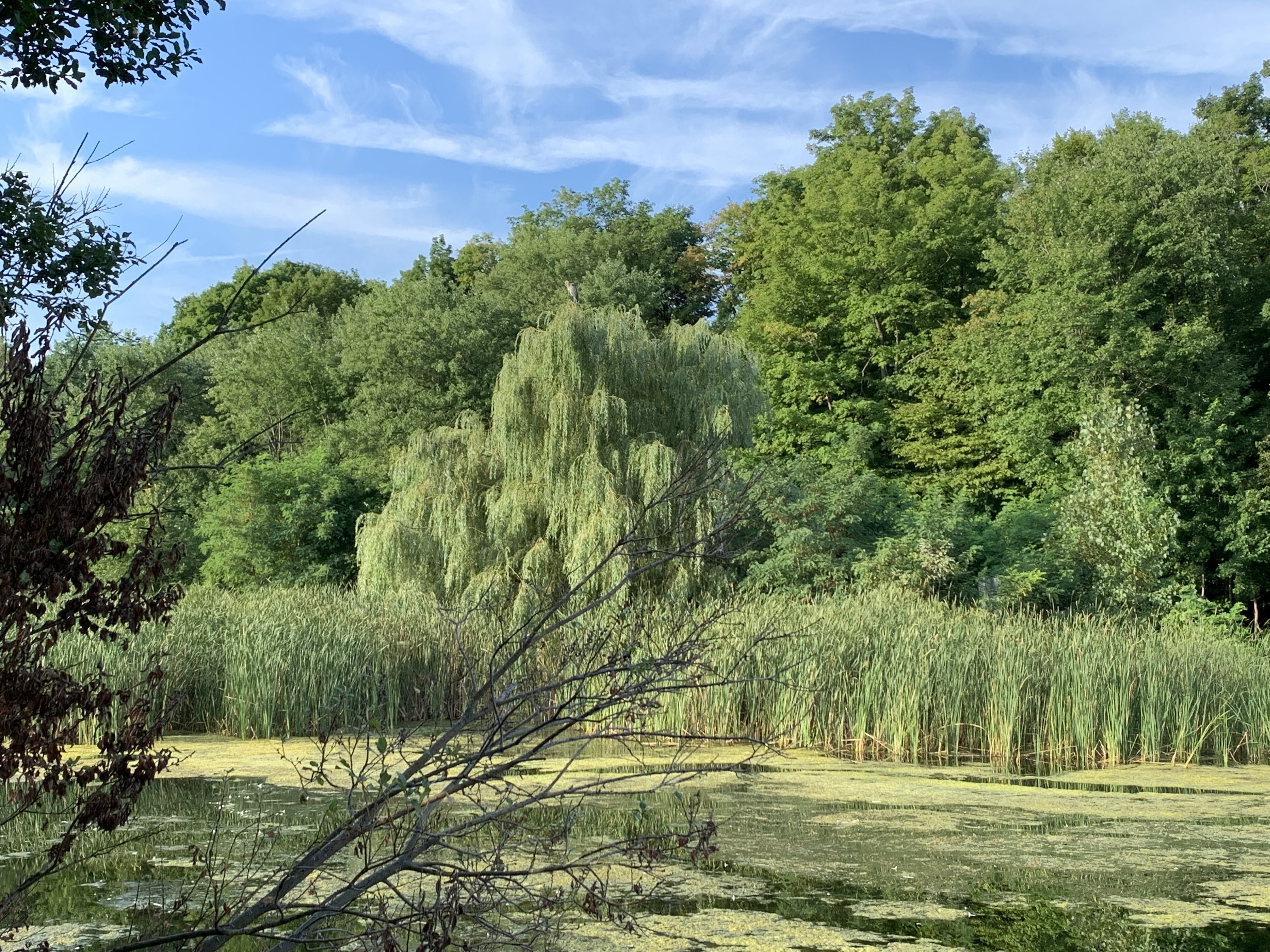
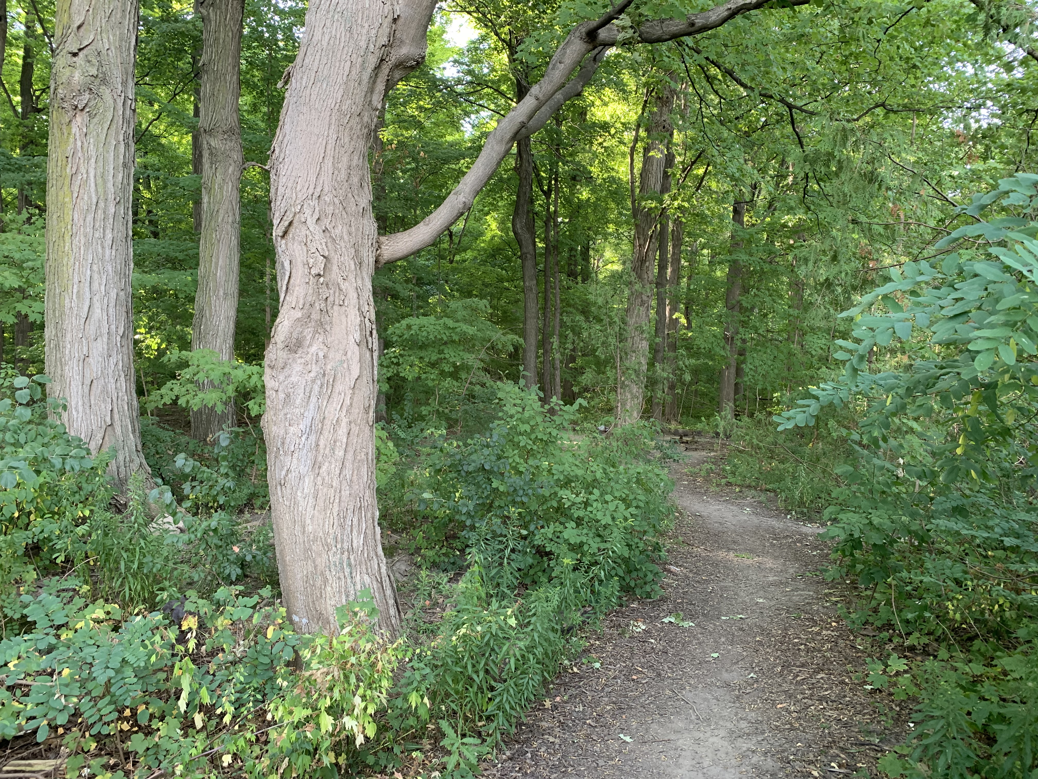
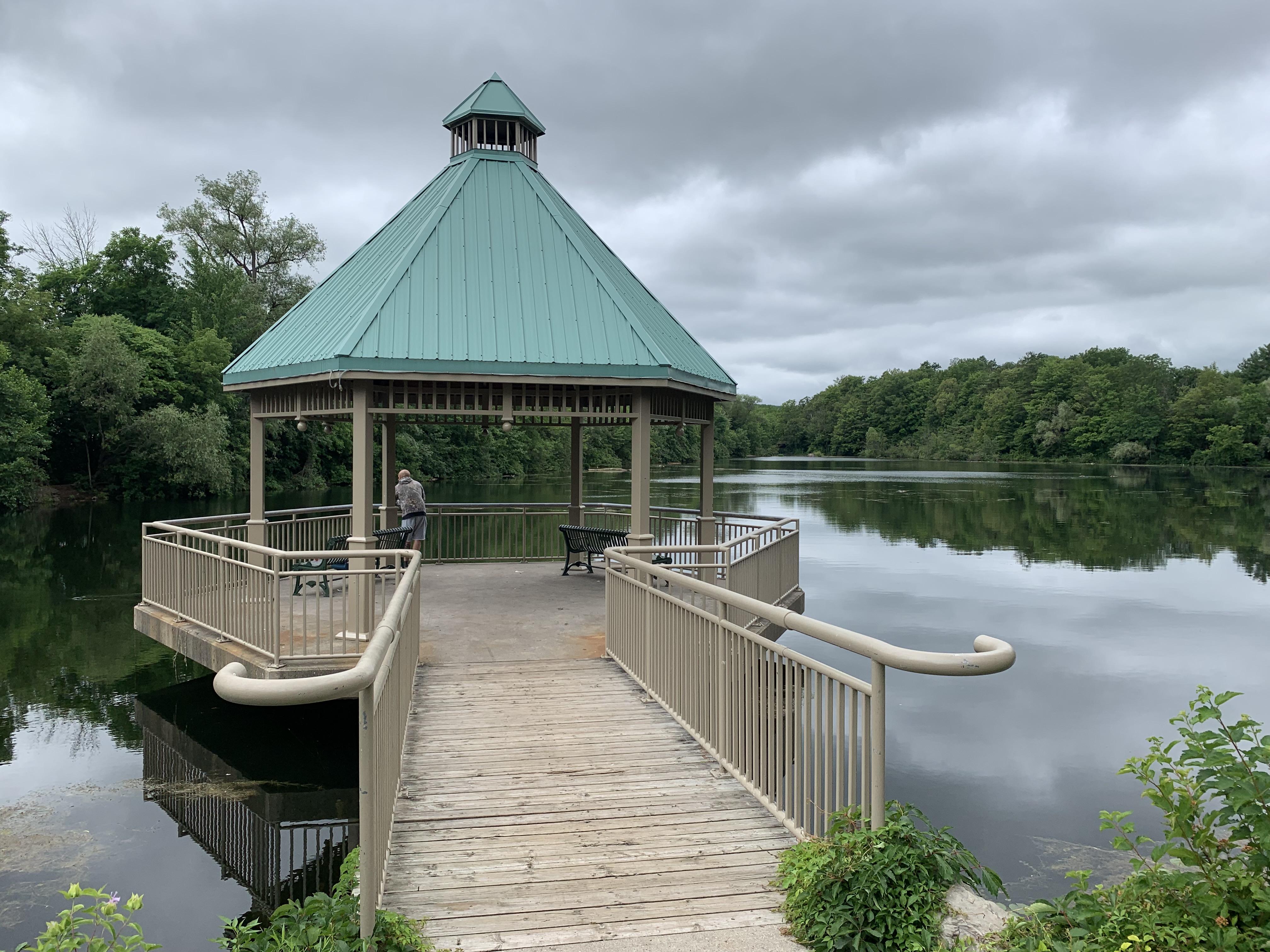
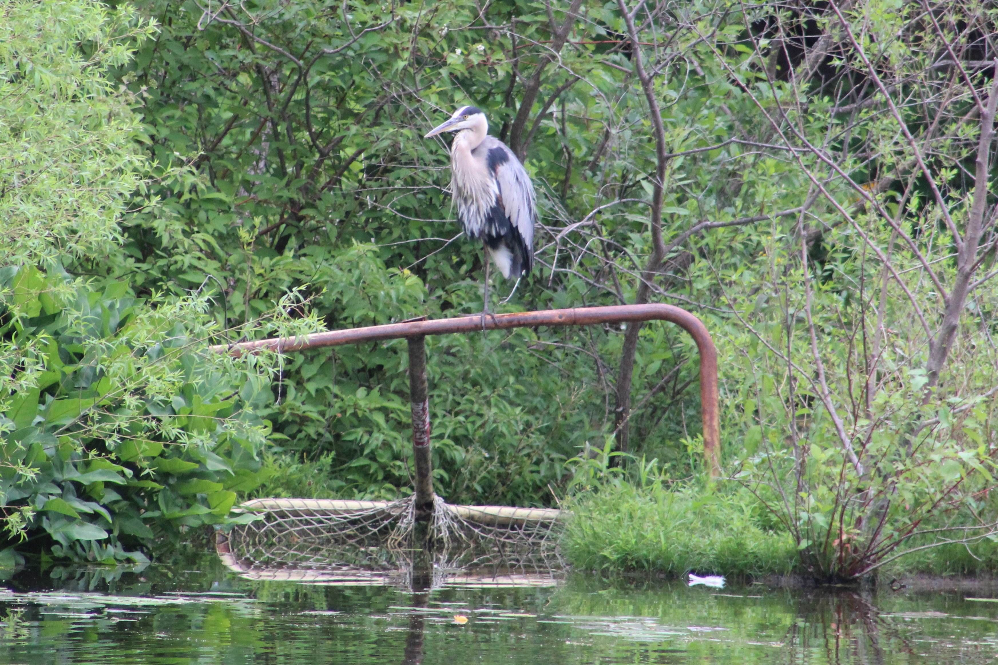
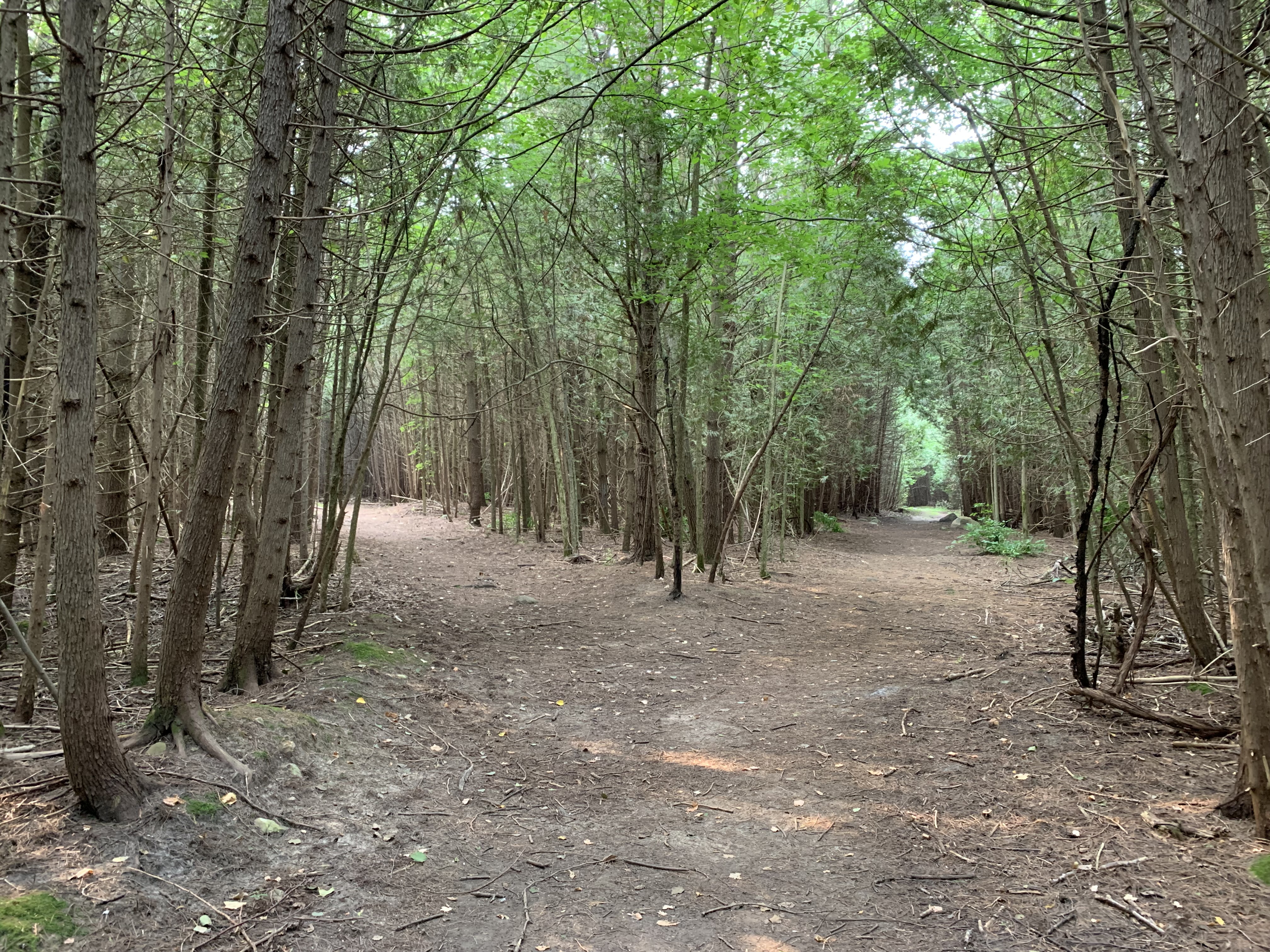
The York Regional Forest covers 2,300 hectares of land that is protected and yet available for public use. It is comprised of 18 different forested properties that have a total of over 120 kilometers of trails. The Metro Road Tract is near Jackson’s Point and has a 2.6 kilometer trail in it, although most of the property is left without formal trails.
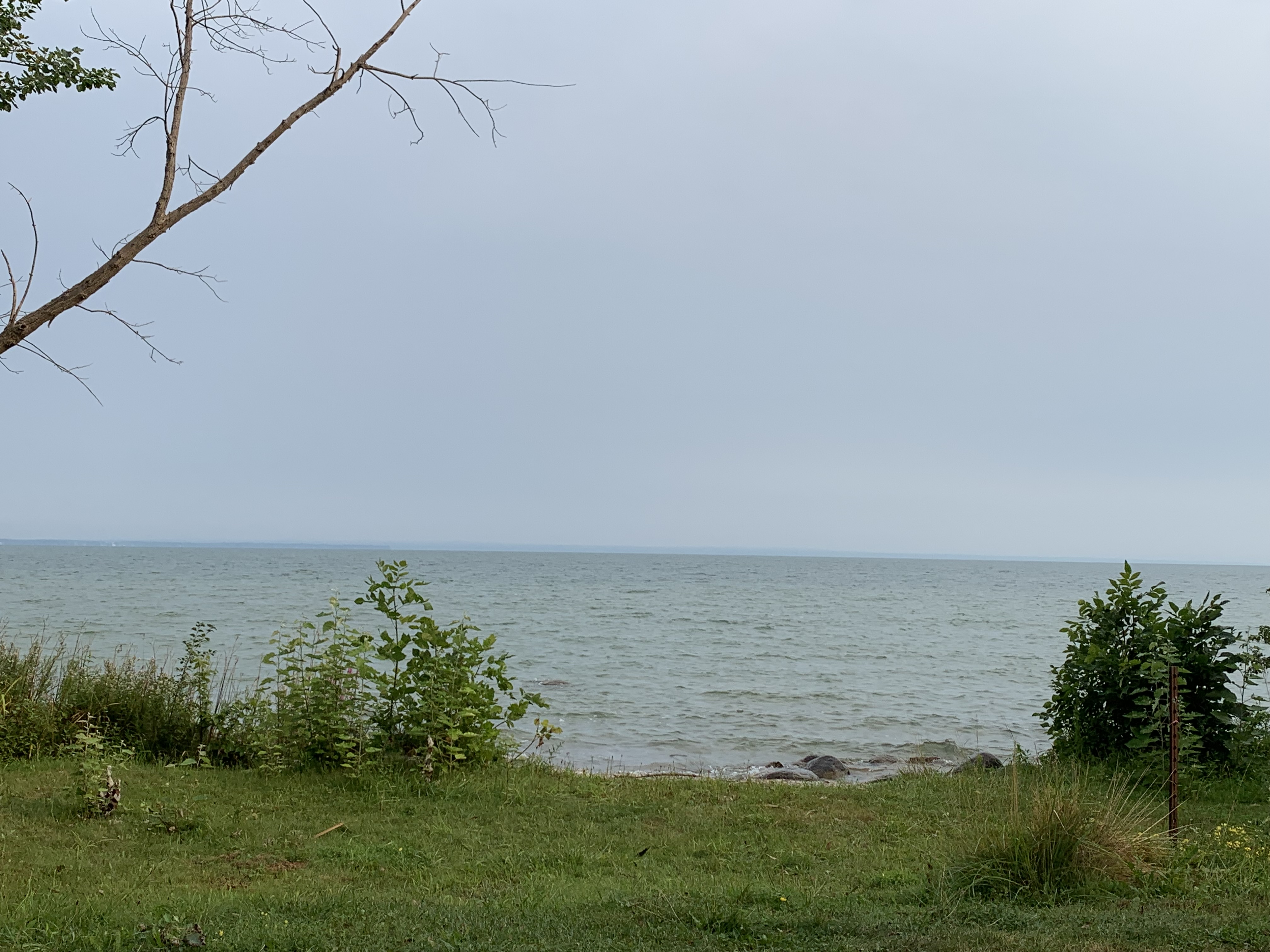
Jackson’s Point was a beach resort for those who arrived by the radial railway to escape the city for the day. However, when cars started to become more popular its importance started to fade because other places became accessible to the family. Today, most of the beach is private property and parking is restricted to a few parking lots. Even so, Lake Drive East has plenty of great views out over the lake.
Until 2018 the harbour at Jackson’s Point had a day marker to guide boaters away from the rocks at the harbour entrance. That year, the Town Council authorized a local resident to begin work on designing a lighthouse for the harbour that would celebrate Jackson’s Point as a destination on Lake Simcoe. Daryl Urquhart has put up the $160,000 for the lighthouse himself and construction was completed in 2019. It stands 30 feet tall and has an LED light that is programmable and can be seen for up to 5 nautical miles.

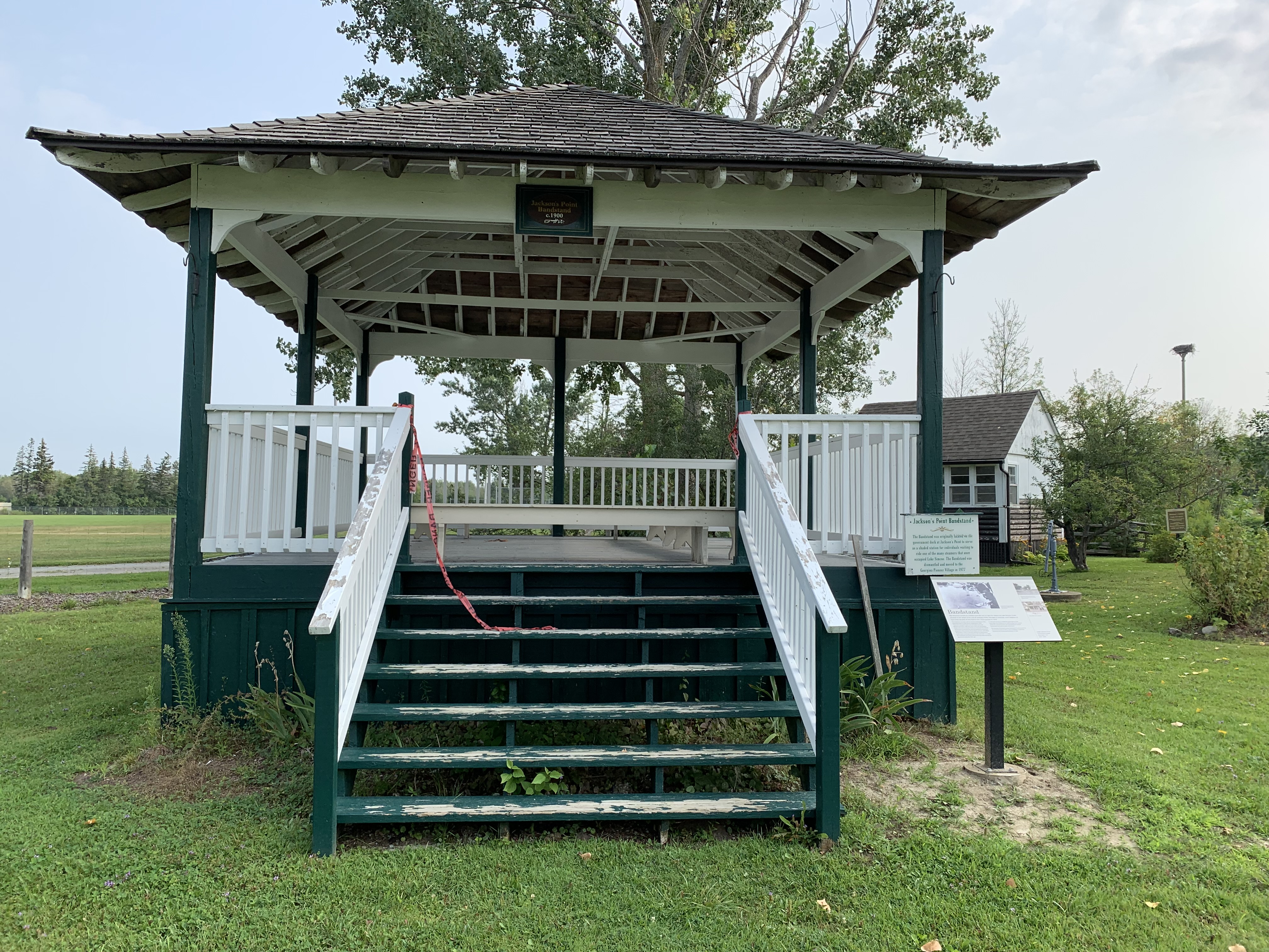
In the 1830s Jackson’s Point was a destination for steamships that visited for trade, and later, for tourism. Sometime between 1910 and 1920 the bandshell was built as a shelter on the end of the government wharf. In 1977 it was dismantled and moved to the present site at the Georgina Pioneer Village and Archives. Here it was fully restored and added to the collection of historic buildings. We’ll look at a few other buildings from Pioneer Village a little later in this post.
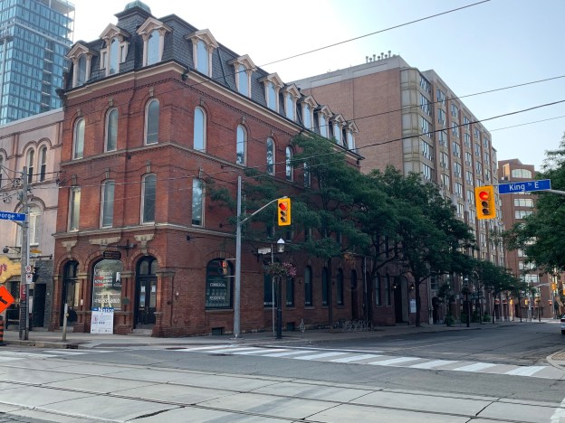
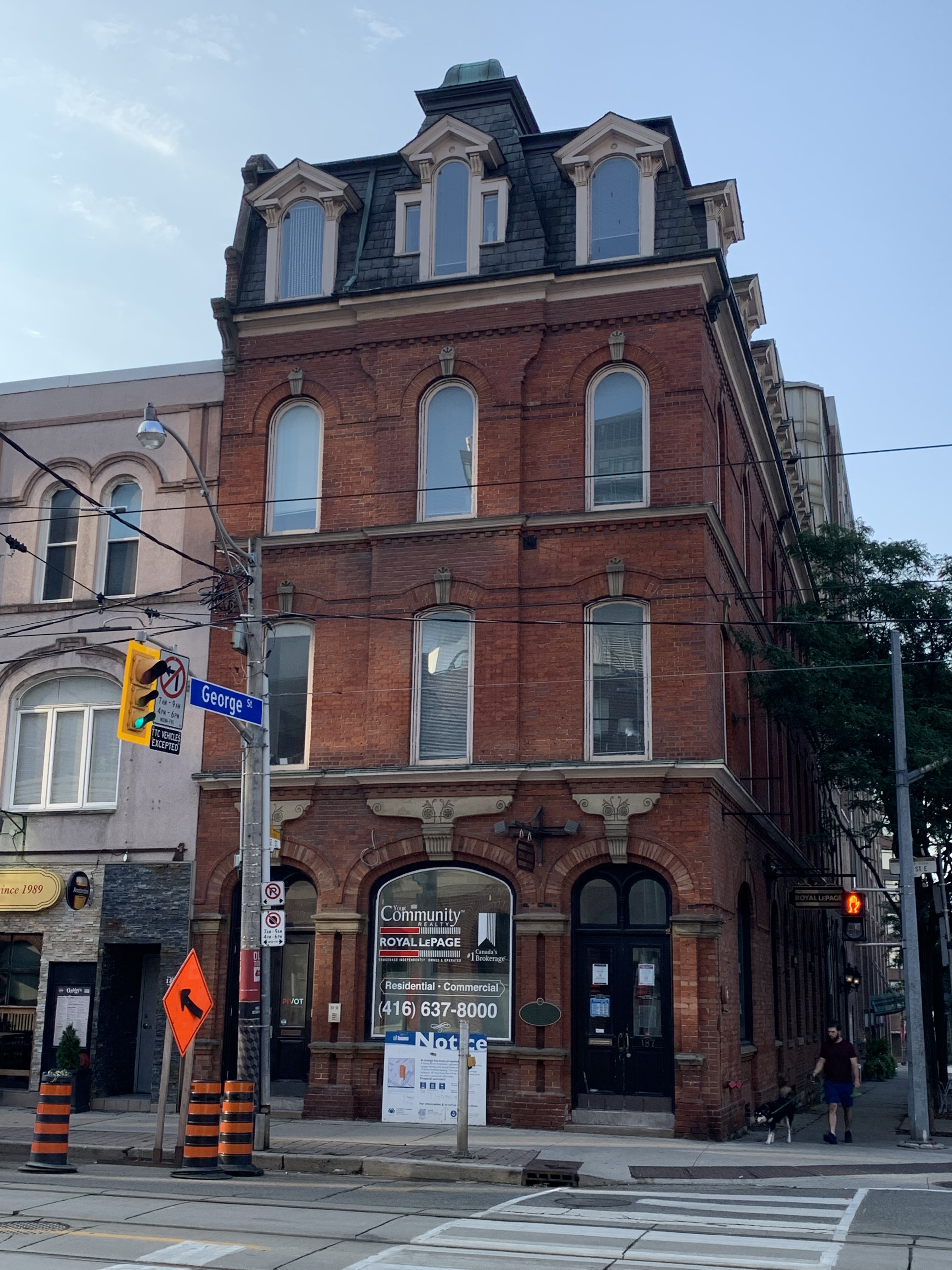
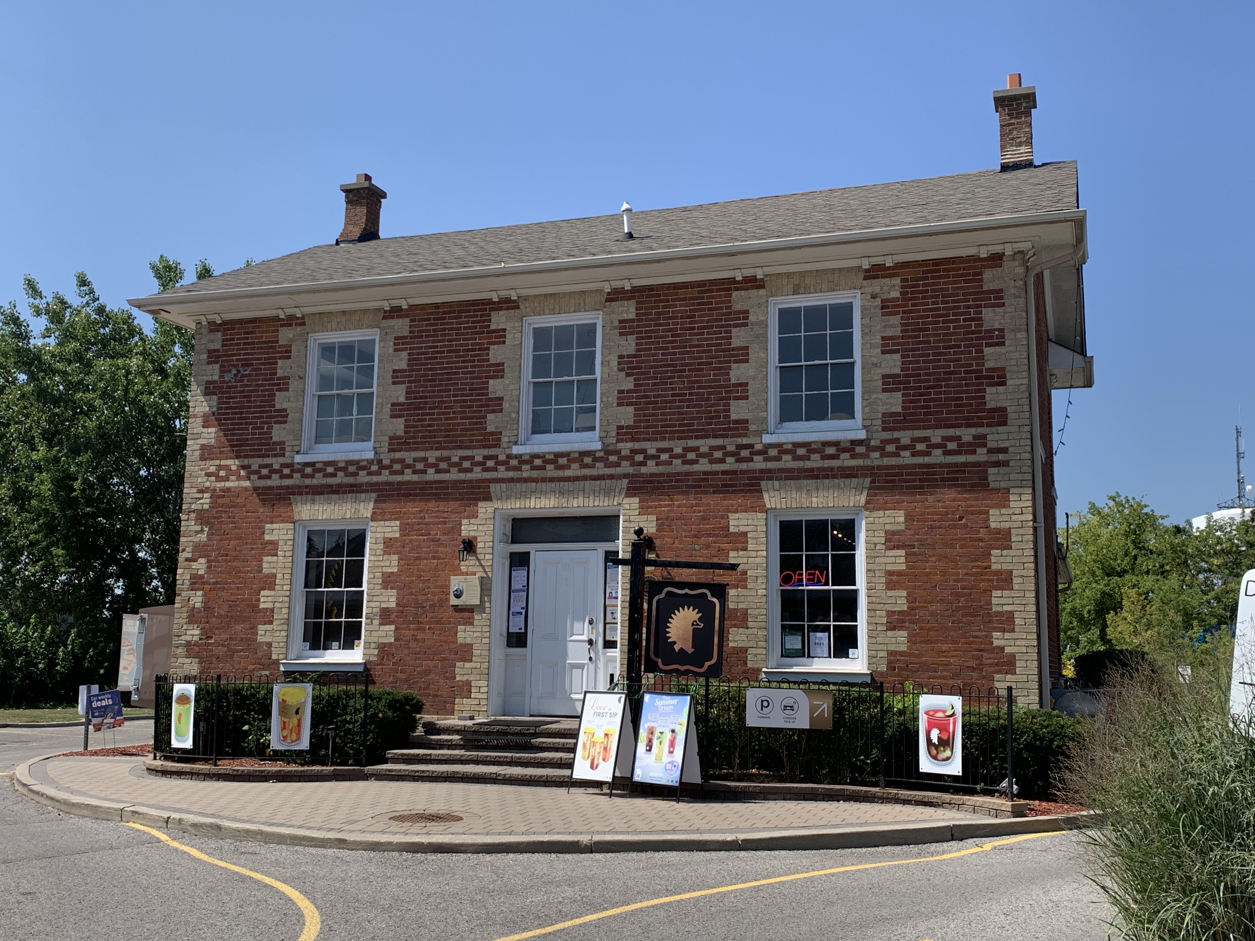
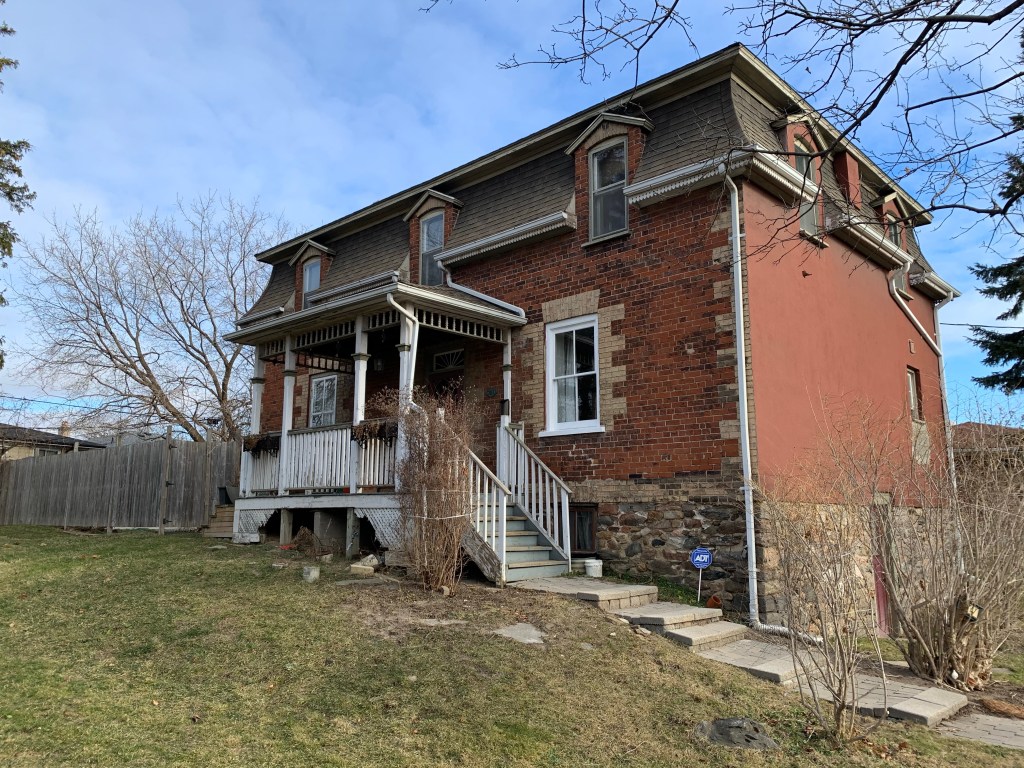
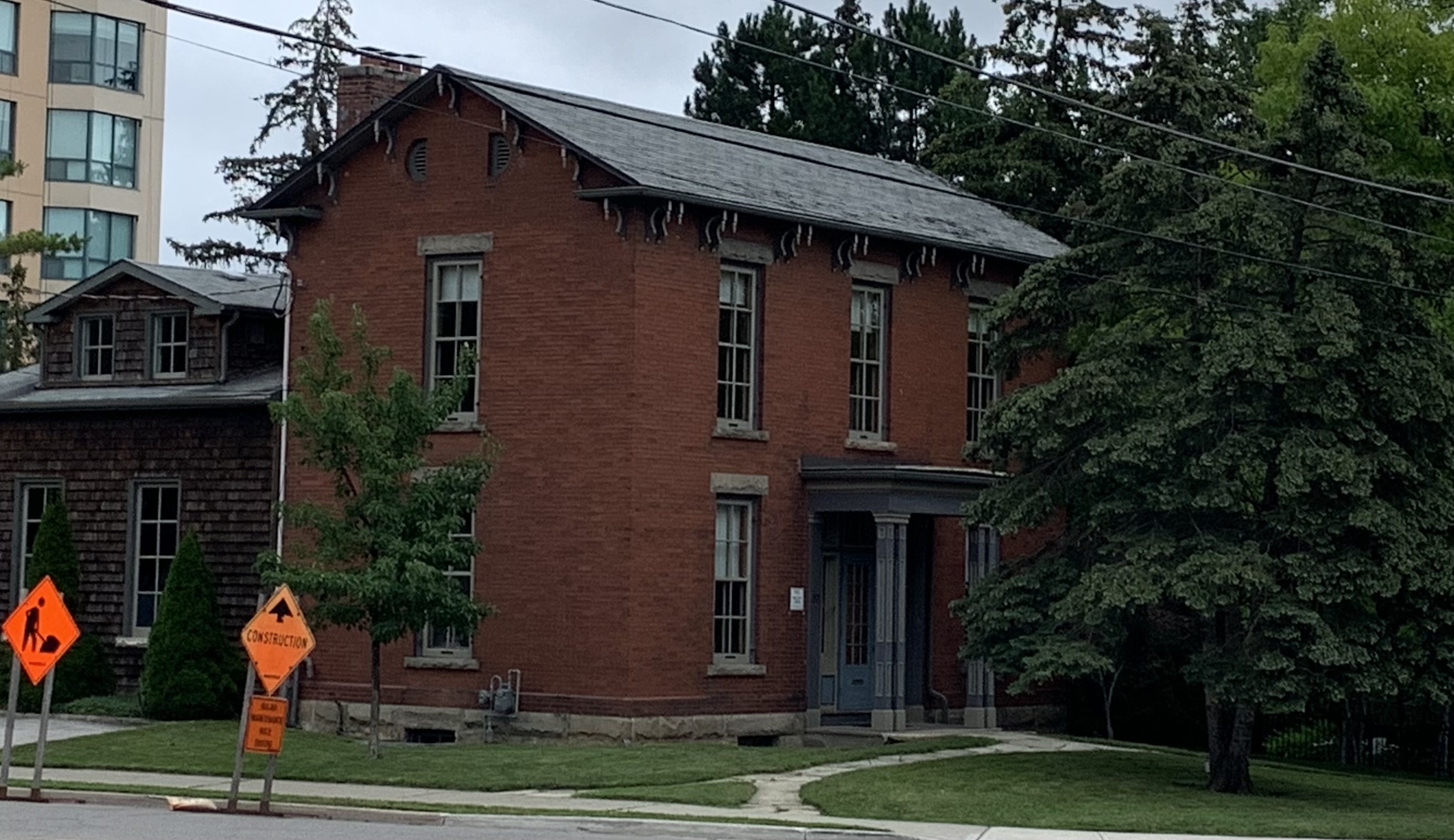
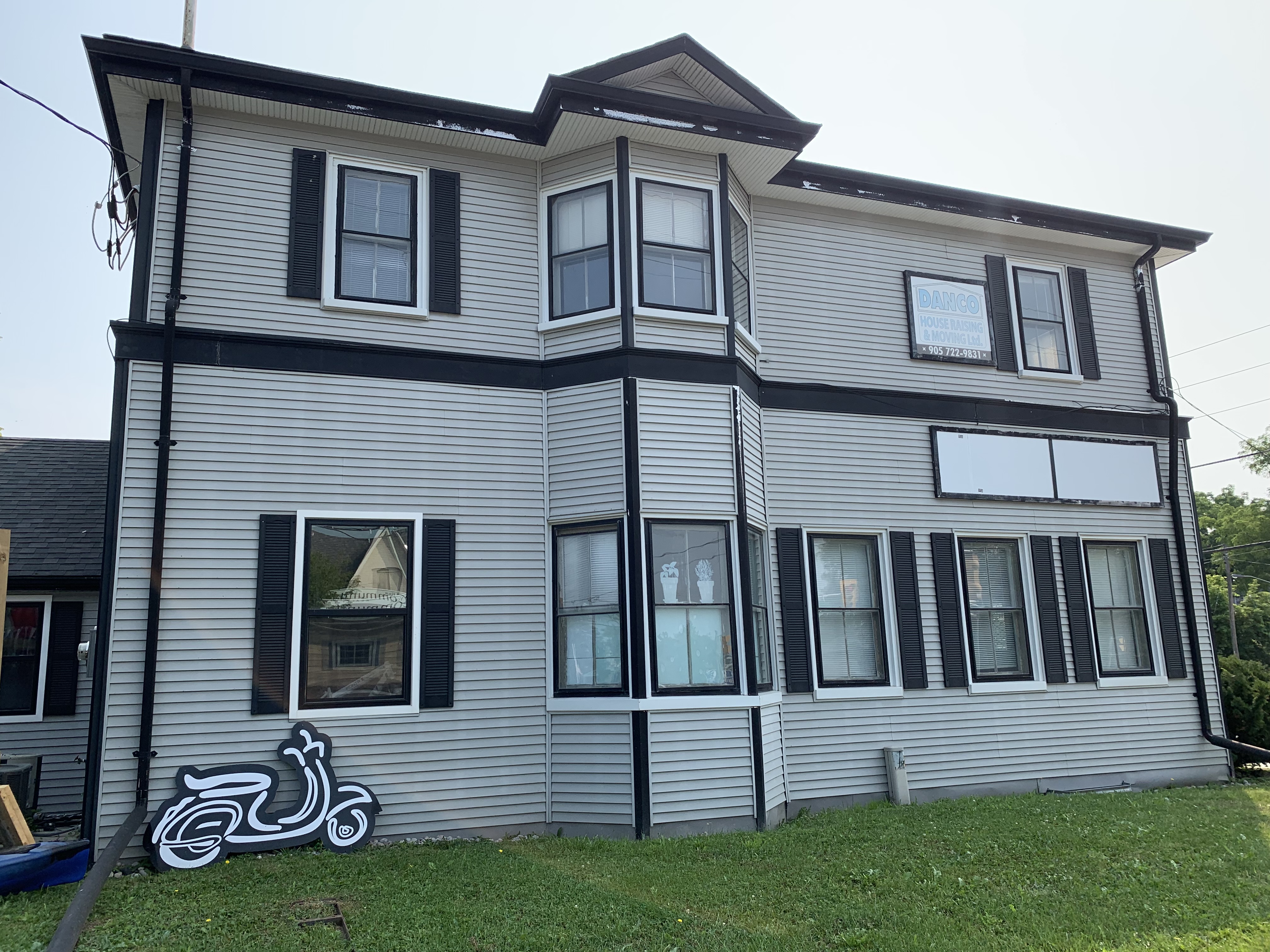
The Toronto & York Radial Railway built its terminus in Sutton in 1908. The station master and his family lived on the upper floor while the lower one served as the station. Radial service began in Sutton on January 1, 1909 and continued until March 16, 1930. The building was then purchased by the Hydro Electric Power Commission who used it as an office until 1970. It currently serves as home to a real estate brokerage. The beautiful brickwork has been covered over with bland siding but otherwise it remains in good shape with a bay window that no longer looks out over railway tracks.
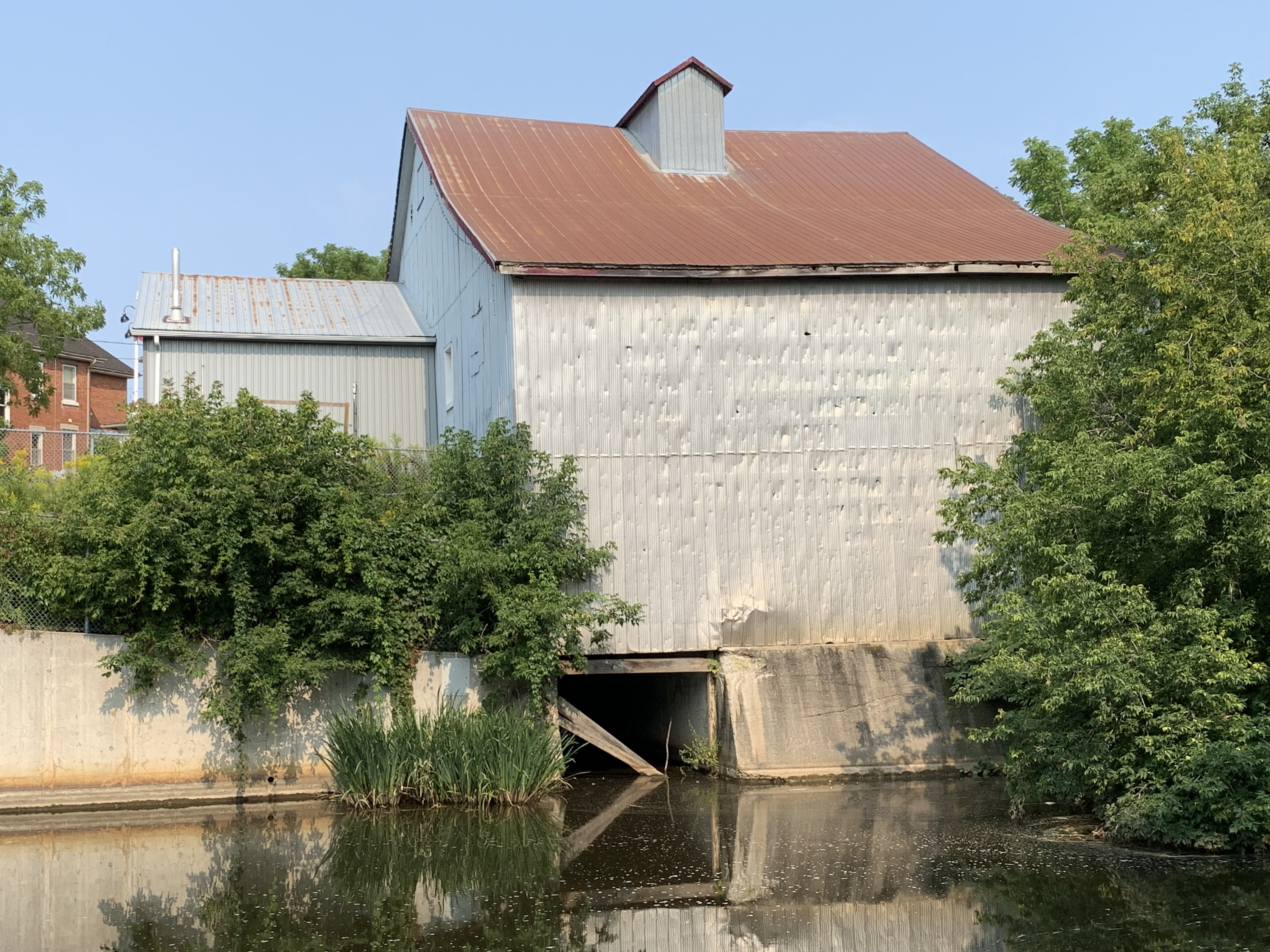
In 1819 the first grist mill was opened on the Black River where Sutton would eventually be founded. By 1830 it had been converted to a board and batten construction which is now covered over with aluminum sheeting. The mill was operated under several different millers until the 1950’s when milling operations were shut down. For a period of time starting in the 1880s it also supplied surplus electrical power to the community. The mill dam still exists on the opposite side of High Street and the tail race where water was returned to the river is still open on the side of the building.
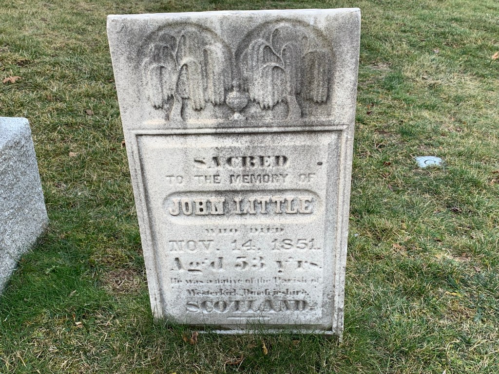
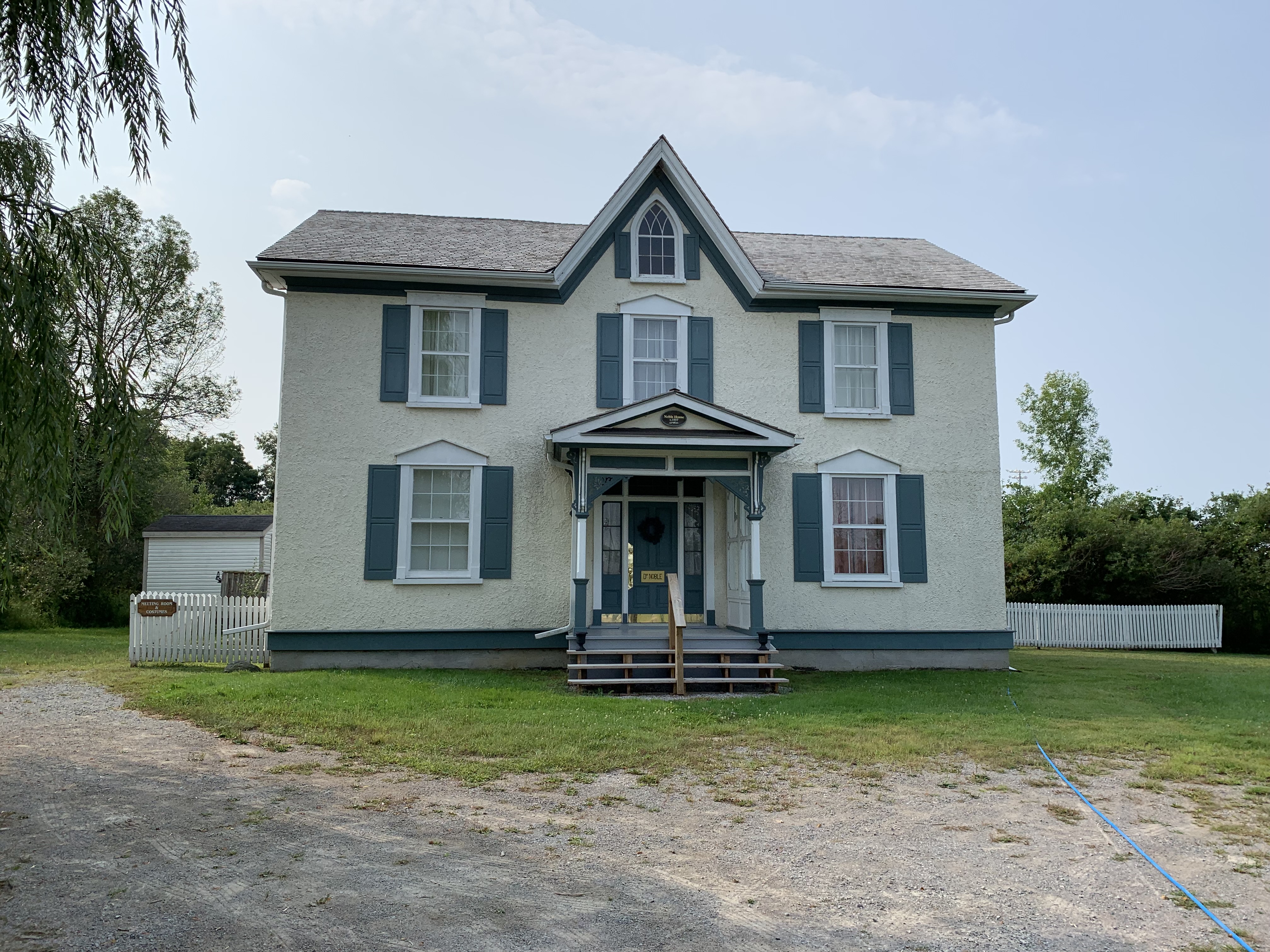
Georgina Pioneer Village & Archives were officially opened on Thanksgiving Day 1975 and the 10 acre site has become home to quite a few buildings that were constructed in the area between 1850 and 1920. One of these buildings is the Noble House which was built in the mid 1850s and moved from High Street in Sutton in 1986. During its prime it was home to three generations of doctors.
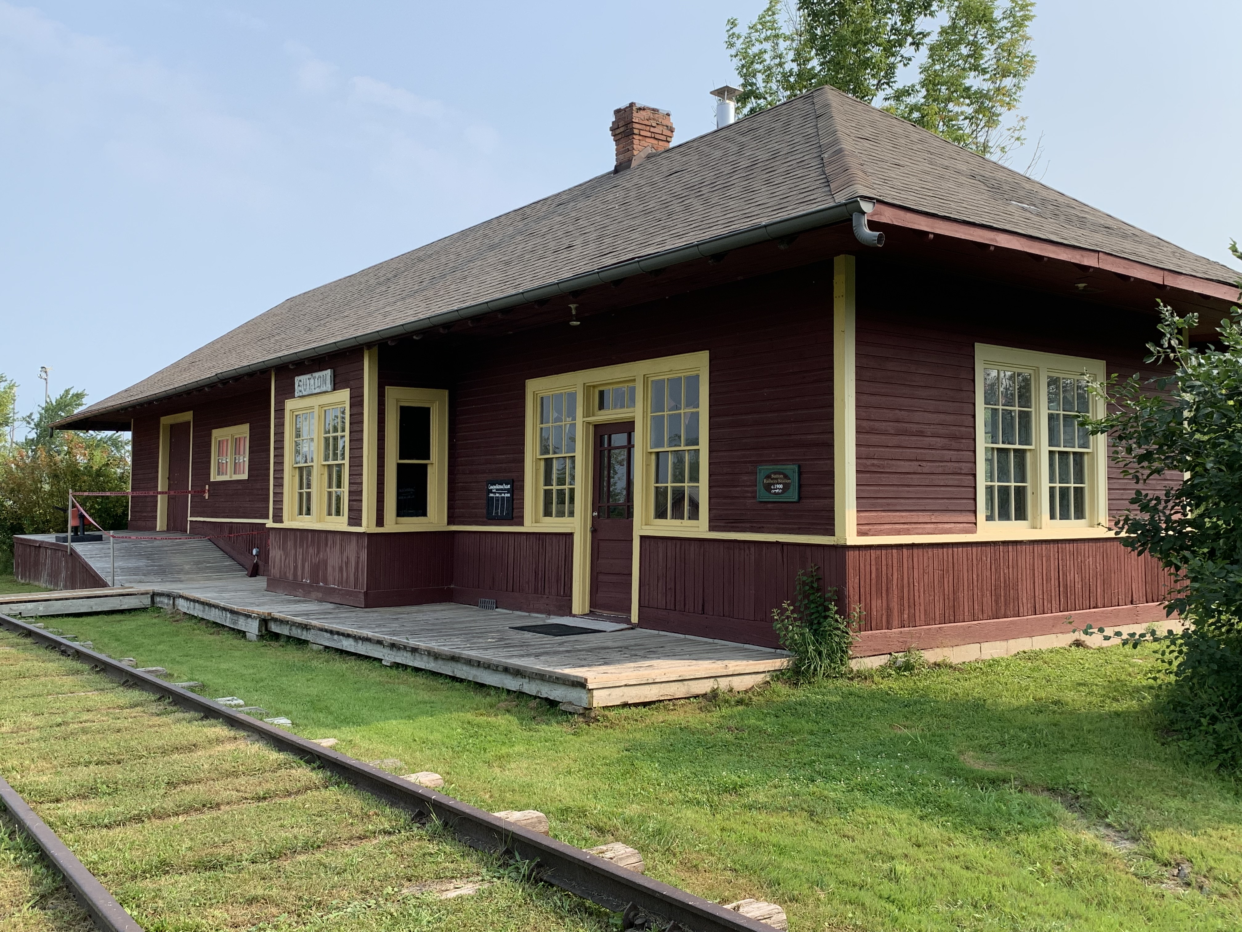
The first Sutton train station was built in 1871 for the Lake Simcoe Junction Railway. When it burned down in 1900 the railway was under the ownership of The Grand Trunk Railway who replaced it with one in their typical style of the era. This station was also lost to fire in 1920 and was replaced in 1924. When the station was no longer in service the Georgina Historical Society was able to purchase it for $2.00, moving it to the village in 1977.
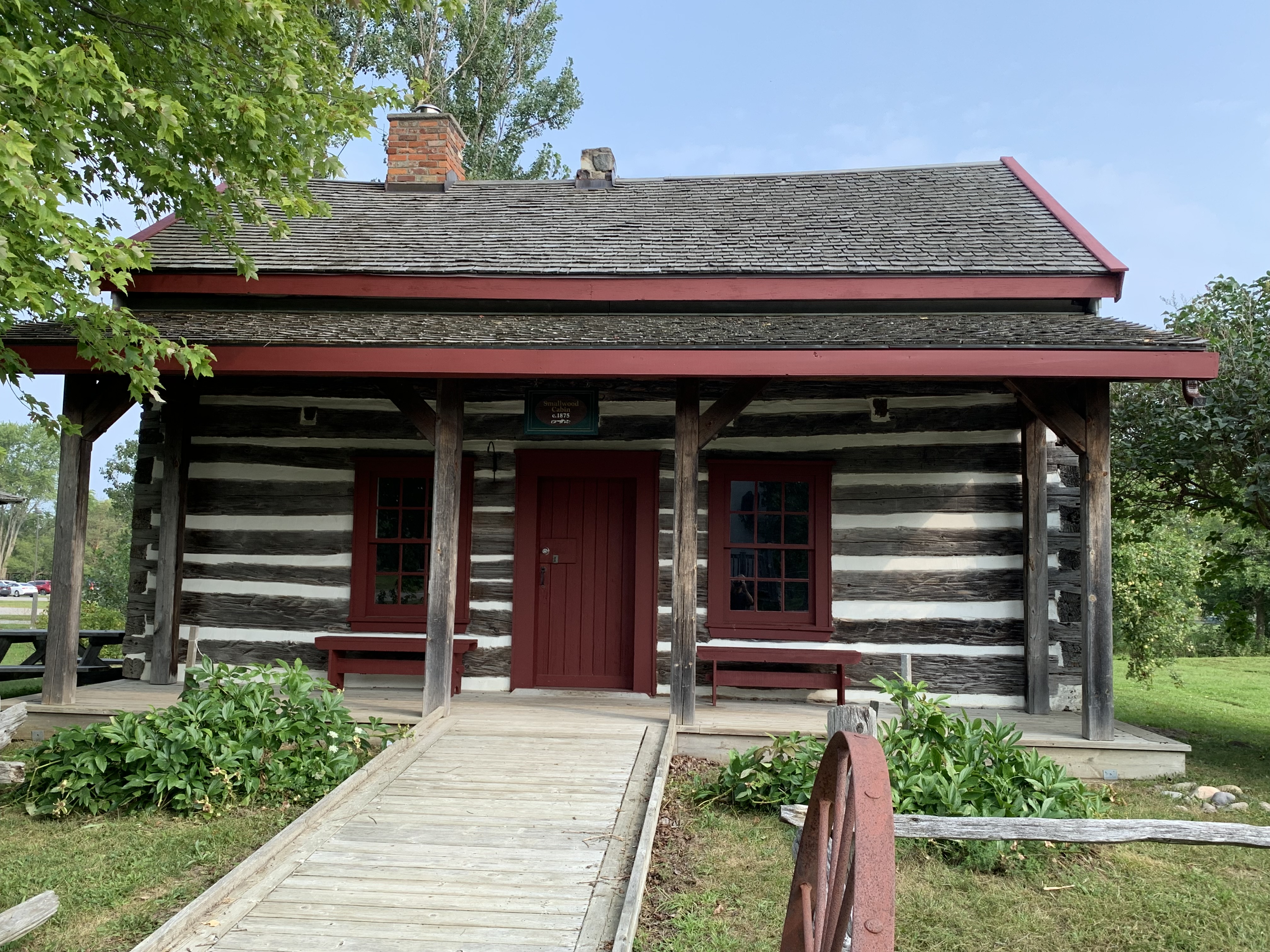
The Smallwood Family built a log house in Elm Grove around 1866. After standing empty from 1966 until 1974 it was acquired by the Georgina Historical Society and relocated to the village.
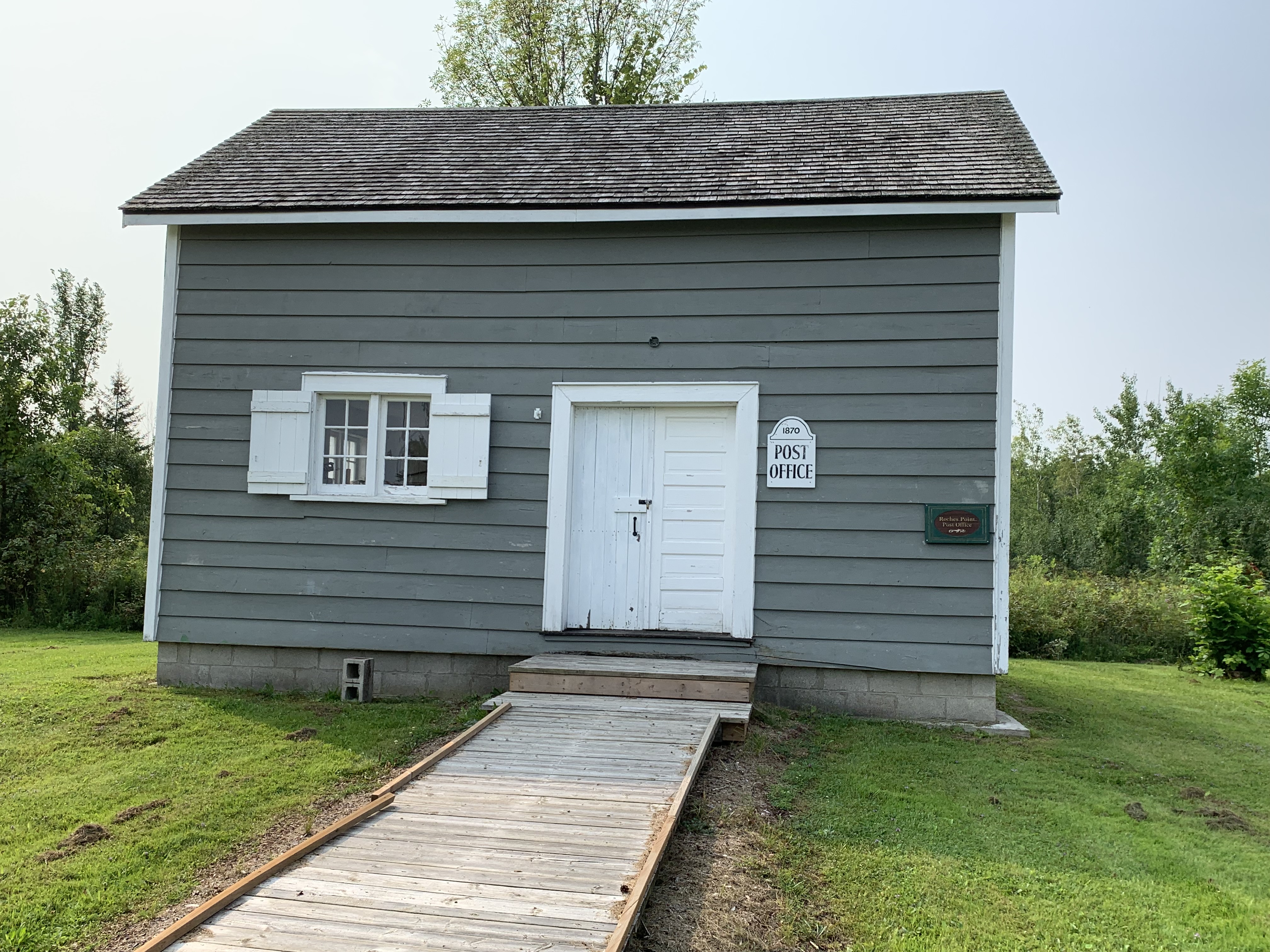
Roche’s Point kept applying for a post office and was finally granted one in 1870. Most post offices were opened by the proprietors of the local general store. In Roche’s Point it is believed that the local boot and shoe retailer used his store as the post office until 1921. Following the death of the post master, the post office was moved to an alternate location in town. The former post office and shoe store was moved to the Pioneer Village in 1999.
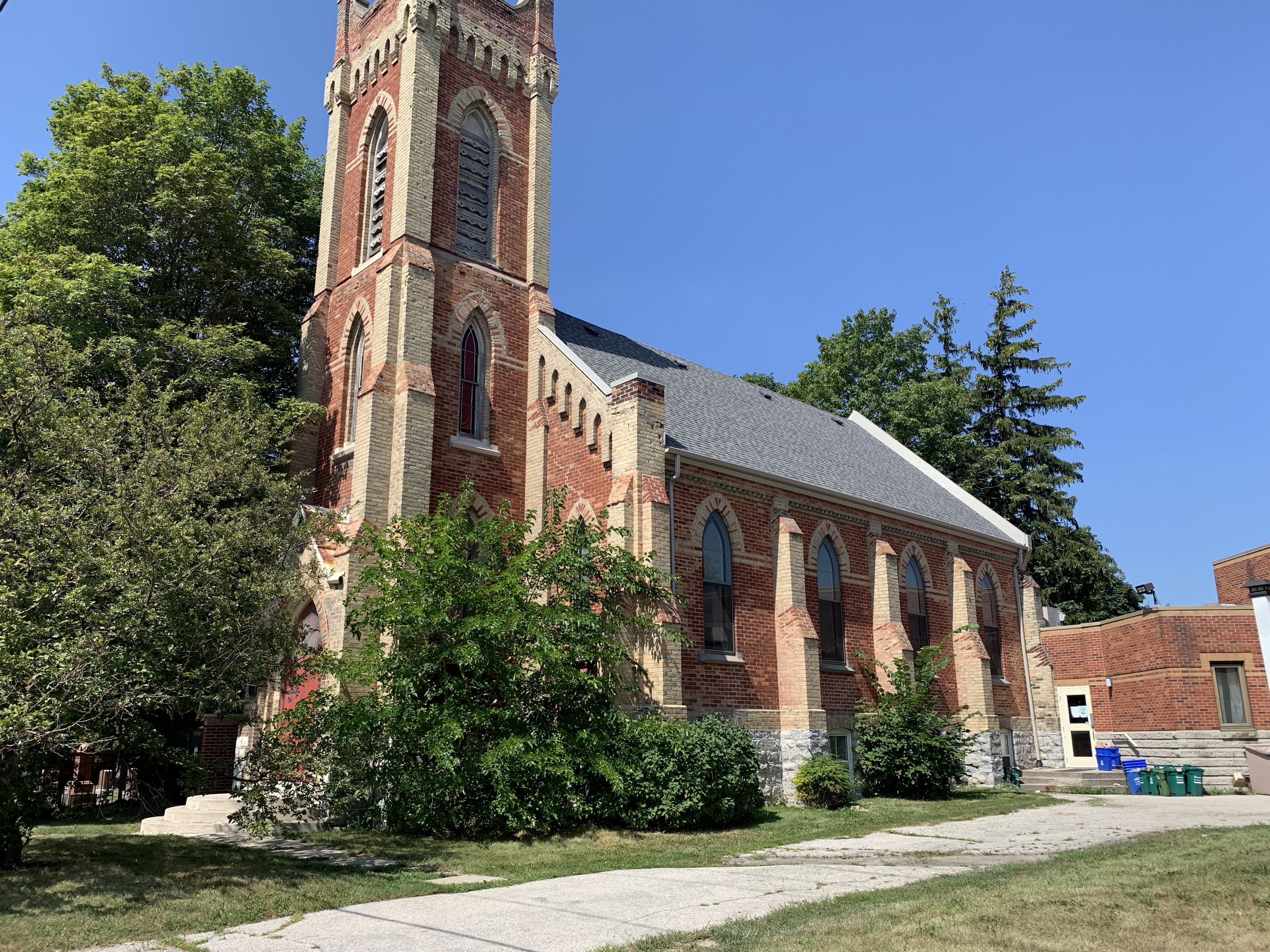
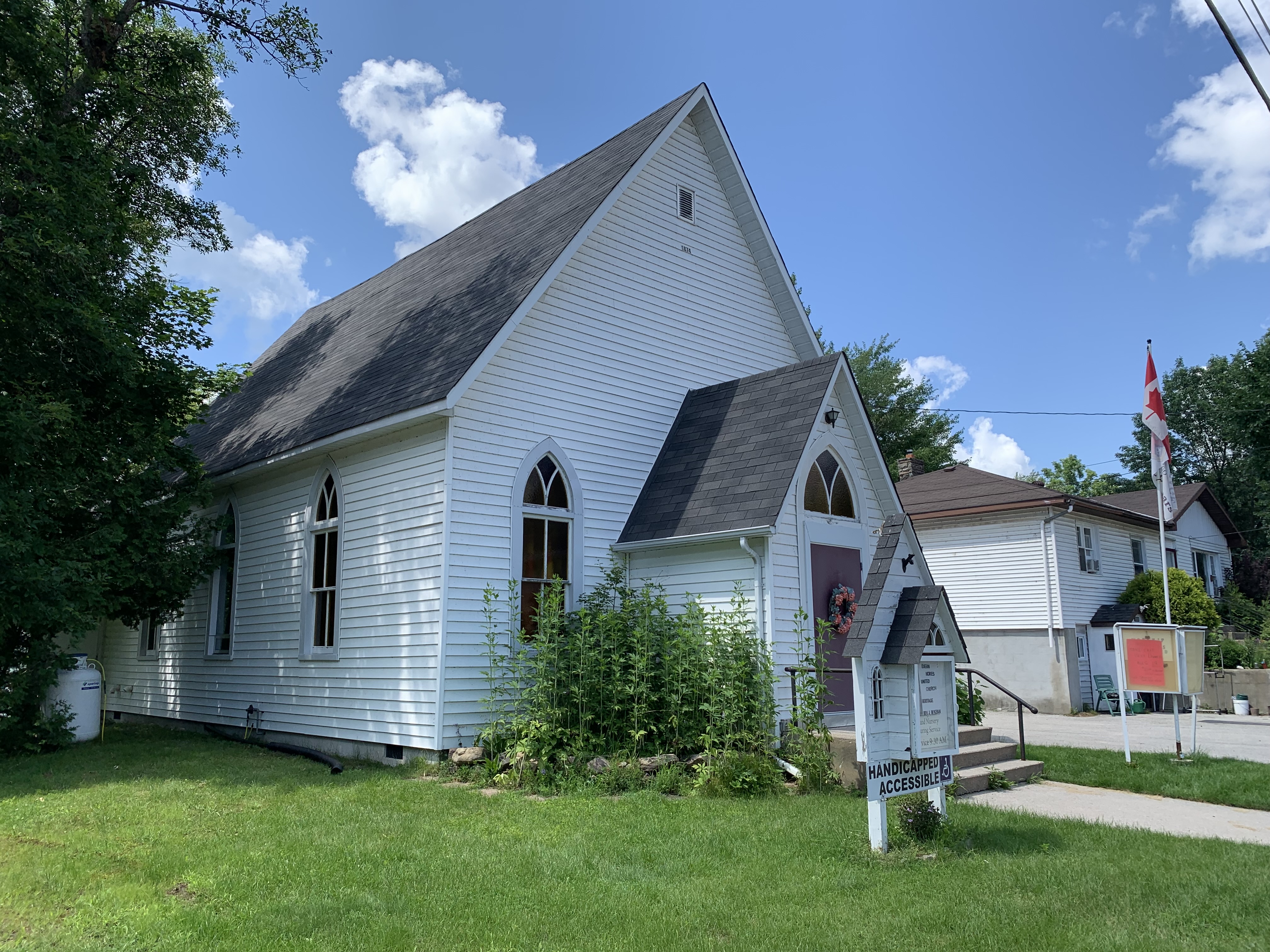
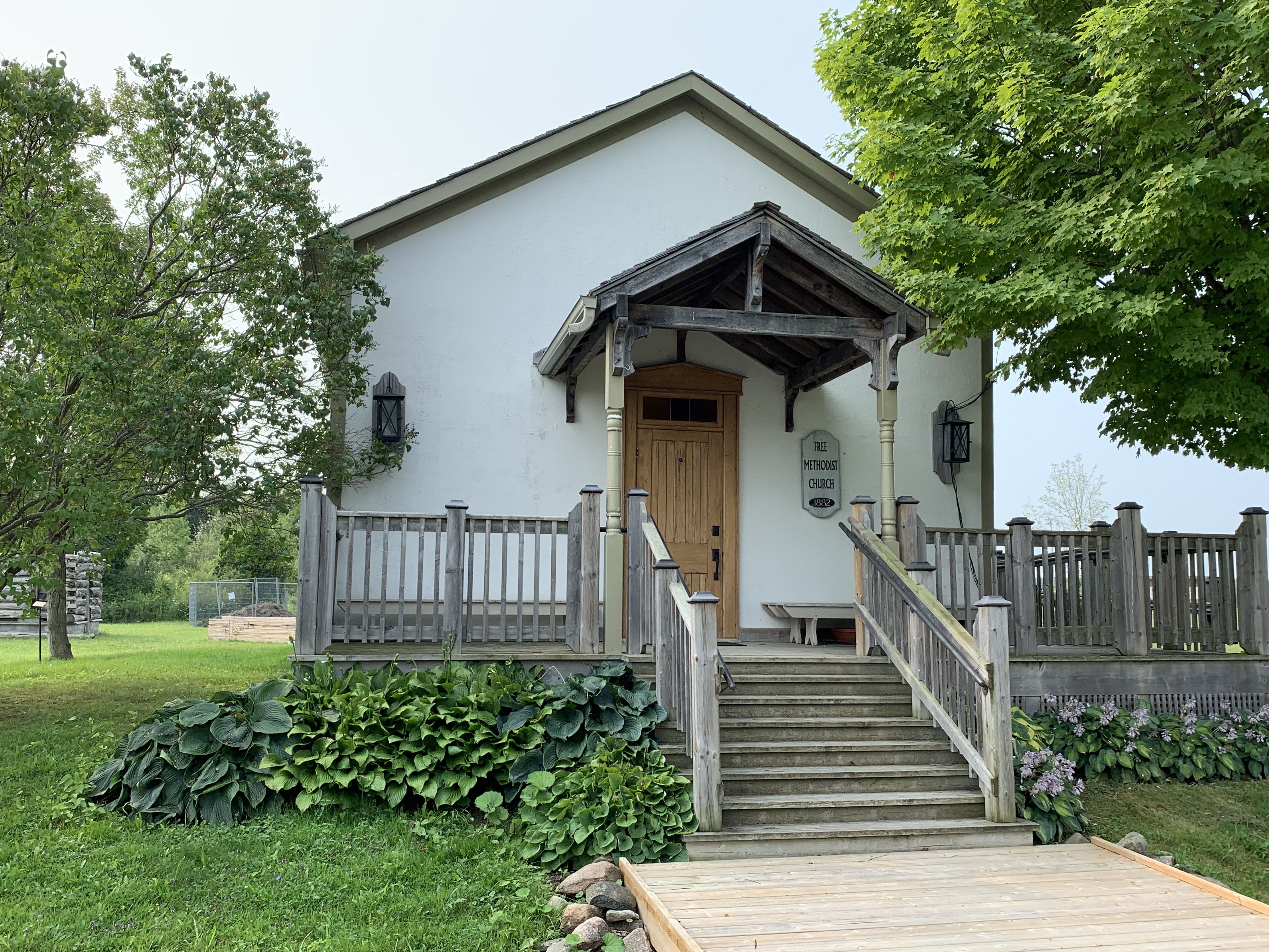
Prior to 1884, there were several Methodist Denominations that competed for the same adherents. The Primitive, Wesleyan, Episcopalian, and New Connexion all united as simply The Methodist Church leaving only the Free Methodists as a separate denomination. The Methodist Church in the Pioneer Village is believed to have started life as a Wesleyan Methodist Church in Elm Grove around 1871. When it closed, the Free Methodists bought the building and moved it across the street. They met there from 1887 until 1925 when they joined with the newly created United Church of Canada. The oldest continually serving Free Methodist Church in Canada continues to hold services in Armadale. You can read about it in our feature Armadale Free Methodist Church.
Just north of the Pioneer Village on Civic Centre Drive is the Georgina Animal Shelter. As I was driving past the laneway I saw a very skinny fox which was likely suffering from mange. It was running along the side of the road and looked very ill and terribly skinny. Its eyes were almost crusted closed and it looked like it would have a hard time capturing food. I was able to alert the animal shelter of the fox and hopefully they were able to have it caught and treated.

There’s no doubt that this is just a teaser of all the things to be seen in the Town of Georgina. It’s well worth planning a day trip to enjoy the area for yourself.
Also see our post: Toronto & York Radial Railway and Armadale Free Methodist Church
Google Maps Link: Georgina Pioneer Village
Like us at http://www.facebook.com/hikingthegta
Follow us at http://www.hikingthegta.com
Also look for us on Instagram