Sunday, April 3, 2022
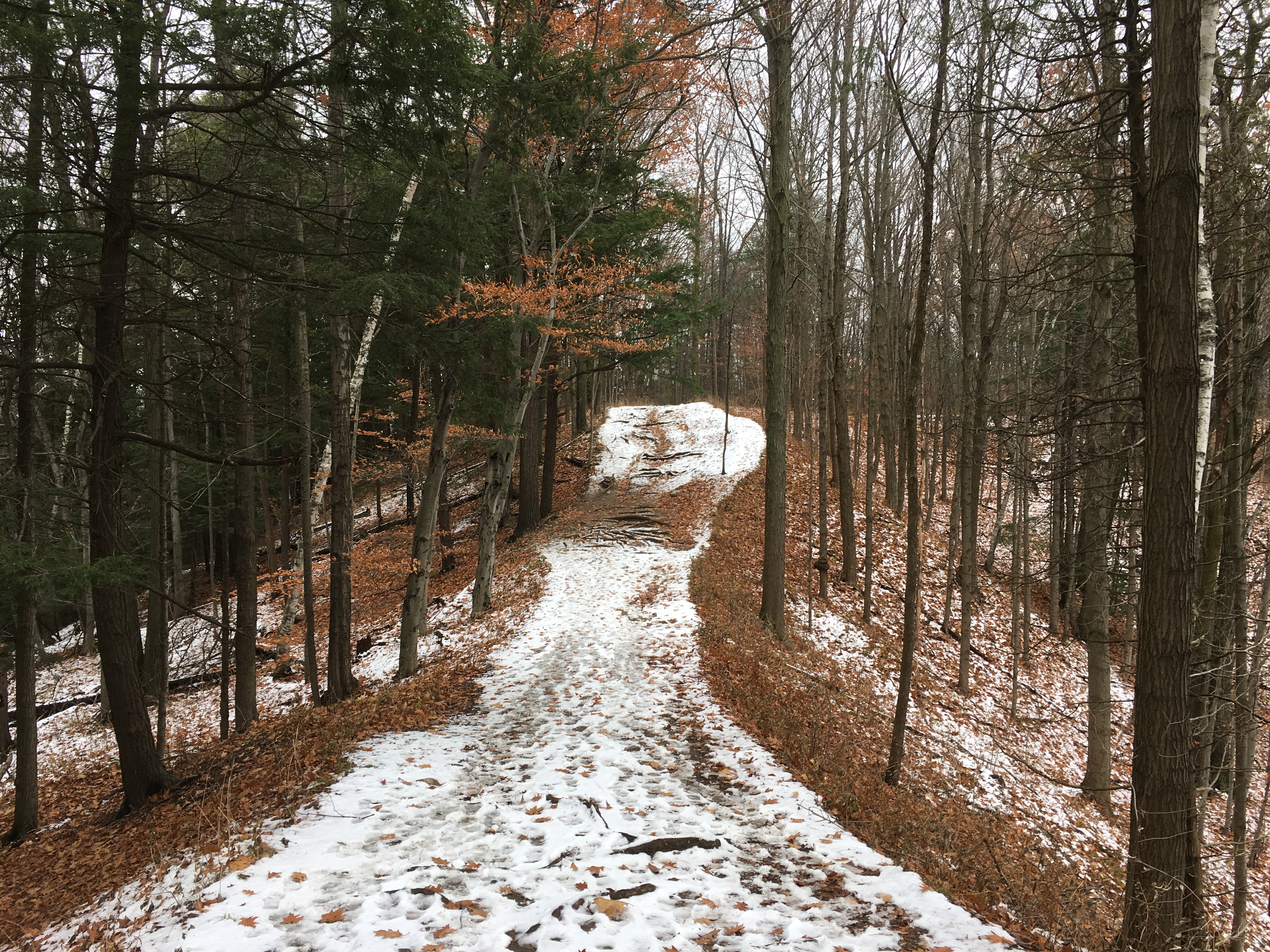
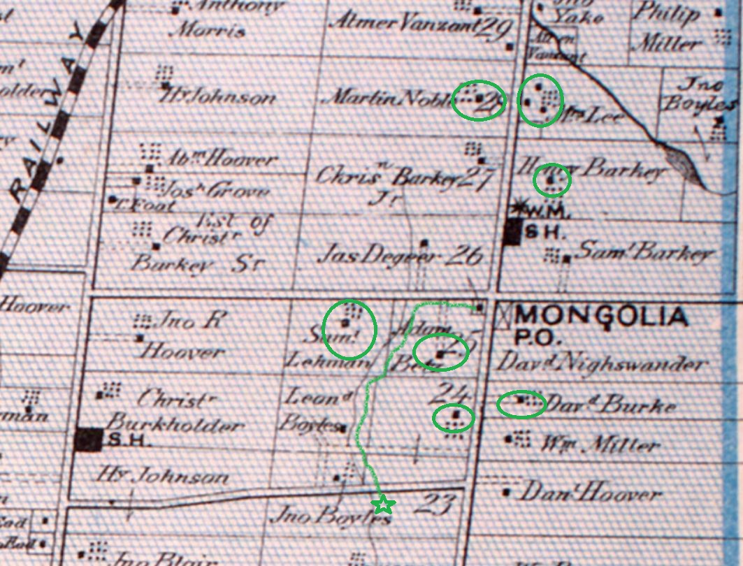
Mongolia was a community that grew around the modern intersection of Elgin Mills Road and Reesor Road. Peter De Guere arrived in 1801 and took the north west corner on lot 26. The adjoining lots were soon taken up as people cleared land for farming. As the community grew it got a tavern in 1841 and took on the name California Corners. It was never more than a farming community with a school, Methodist Church, and a Temperance Hall beside the blacksmiths shop. The rural atmosphere was lost in 1972 when the federal government decided that the flat land north of Pickering would make a good site for a future airport. They expropriated the entire town and then never built the airport. Studies show it won’t ever be needed and slowly the government is giving sections of the airport lands to help create Rouge National Urban Park. This is a far better use for the land, although it could still be productive farm land again. To explore and record what remains before it is lost we parked at the trail parking lot on the south east corner of the intersection. From there you can walk up or down Reesor Road to view the old homes or follow the trail to the historic Boyles Pioneer Cemetery. We did both. The 1877 county atlas section below shows many of the homes that still remain as well as the trail to the cemetery, which is marked with a star.
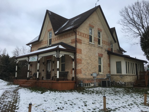
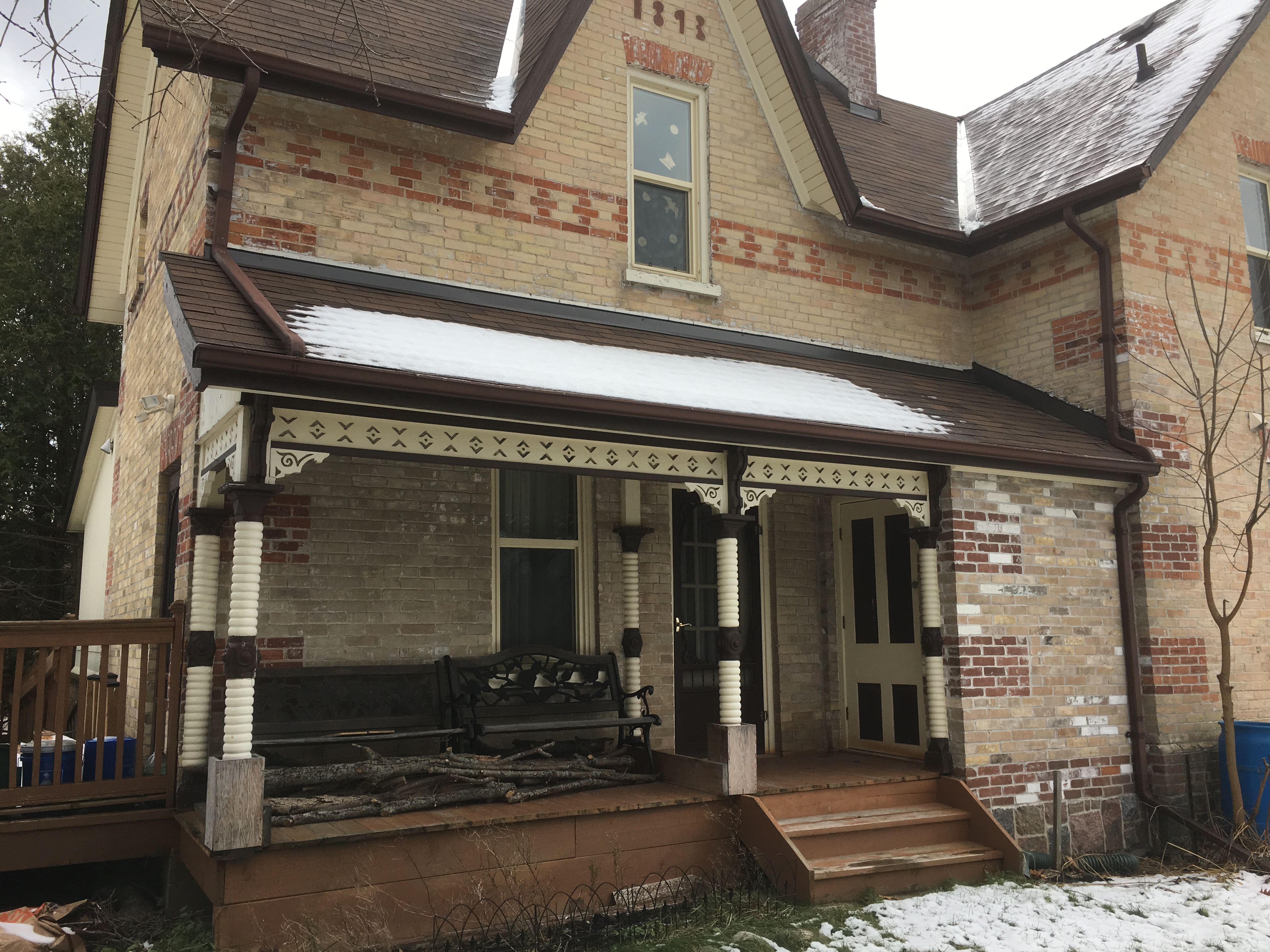
It was in 1853 that James Holden bought the corner of David Nightswanders property and the following year he opened a general store which he operated until 1861. When Nightswander got a post office for the town in 1864 he was told the name California Corners could not be used and so Mongolia was chosen from a list of approved names. A house was added beside the store in about 1870 but the store and post office burned down in 1920, leaving just the house behind. It is now being used as an information centre for Rouge National Urban Park and is one of the few homes from Mongolia that is still in great condition.

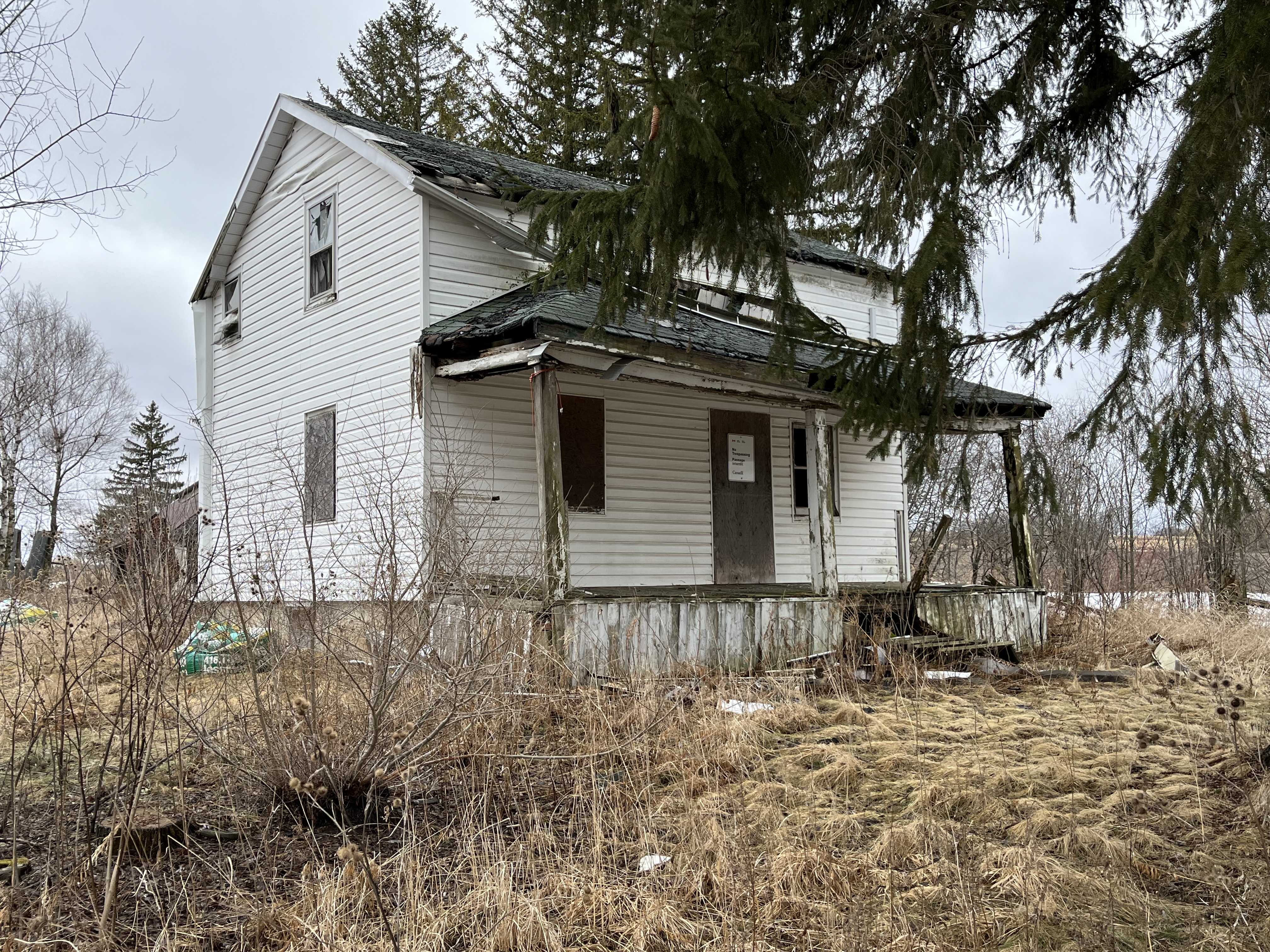
Martin Noble built this farm house in1840 and like several other older homes in the community it has been covered in white siding. I wonder if it was built of field stone like so many of the local homes were in the mid 1800s. I think we’ll be able to find out soon as the roof is caving in on this home in spite of it being on the heritage listing for Markham. Mongolia appears to be falling victim to neglect like so many of the heritage properties in the Pickering Airport Lands. It’s interesting that a designated home can’t have unapproved alterations because they can detract from the heritage properties that set it aside for preservation. However, there’s no provision in the listing to require a property to be maintained even though lack of maintenance is seriously detracting from the heritage value of these buildings.
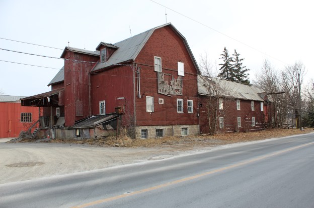
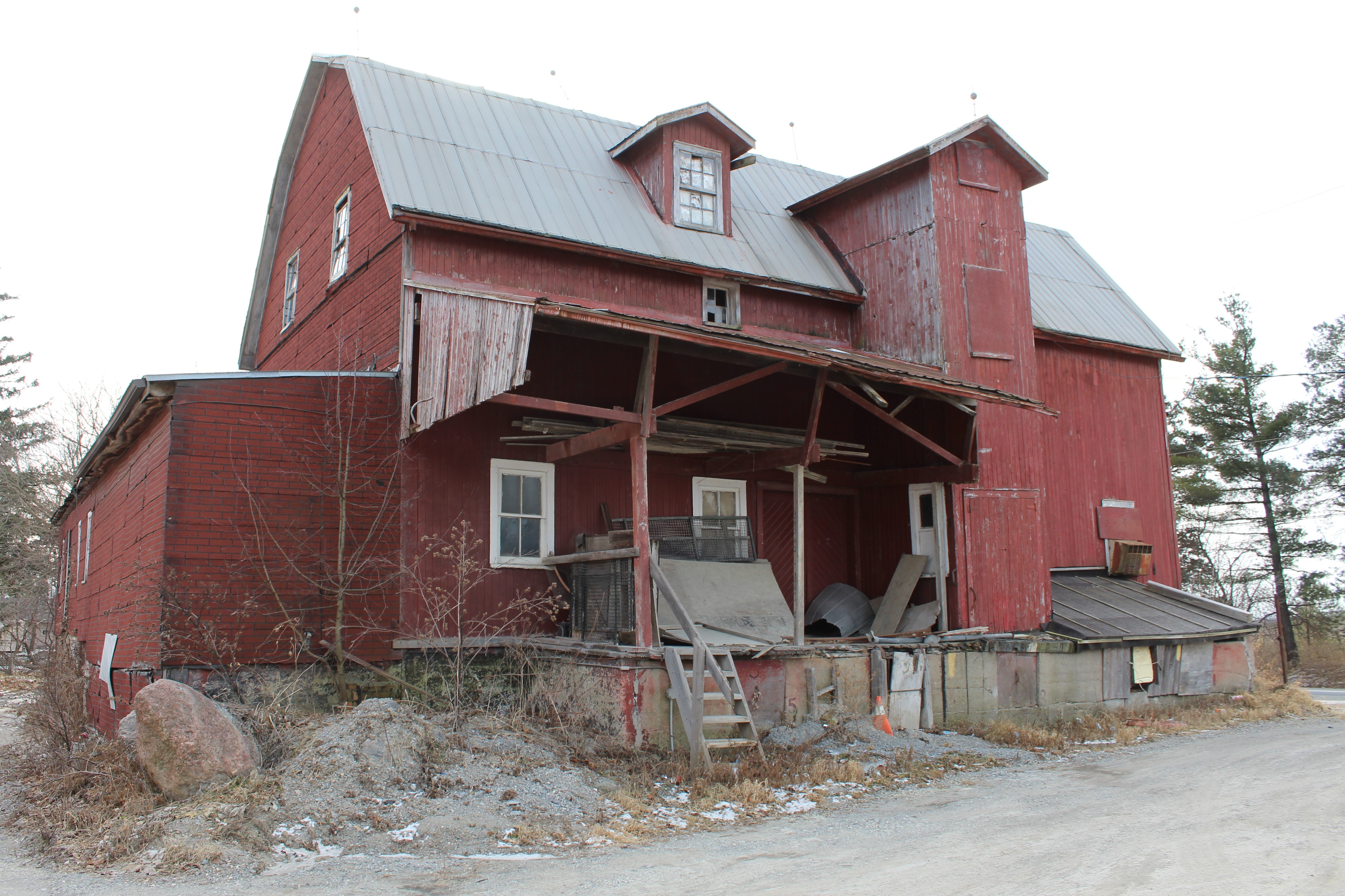
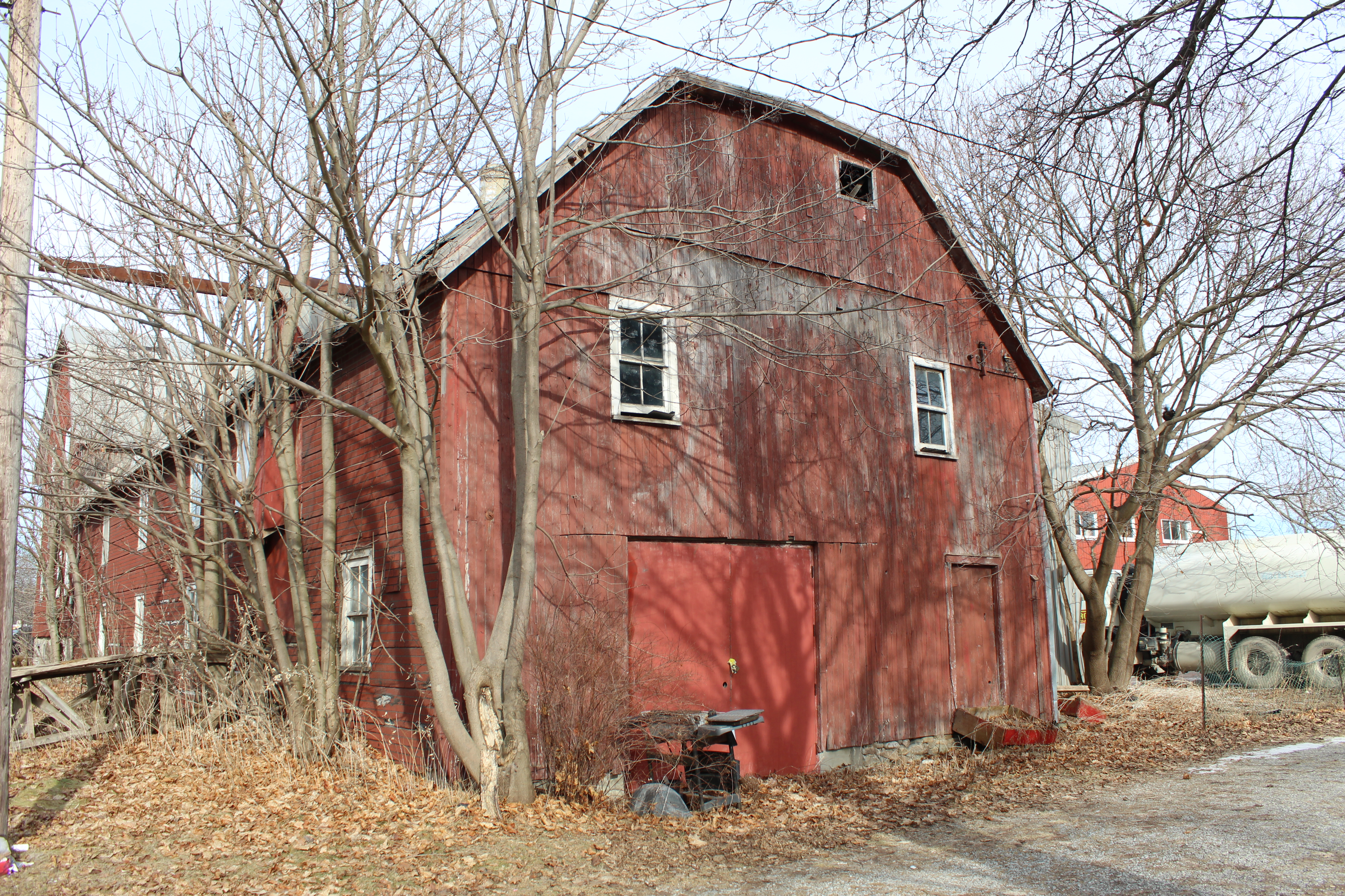
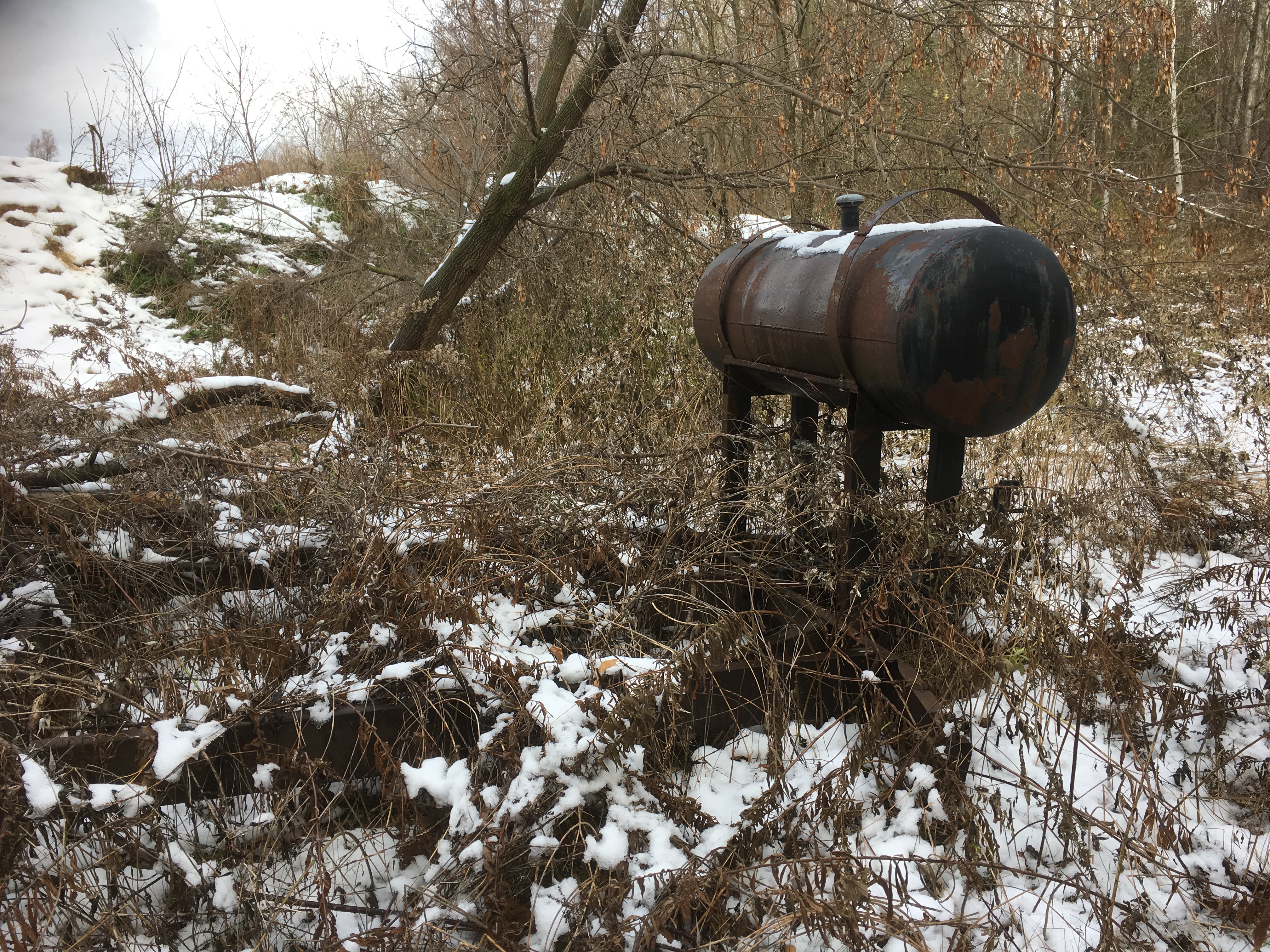
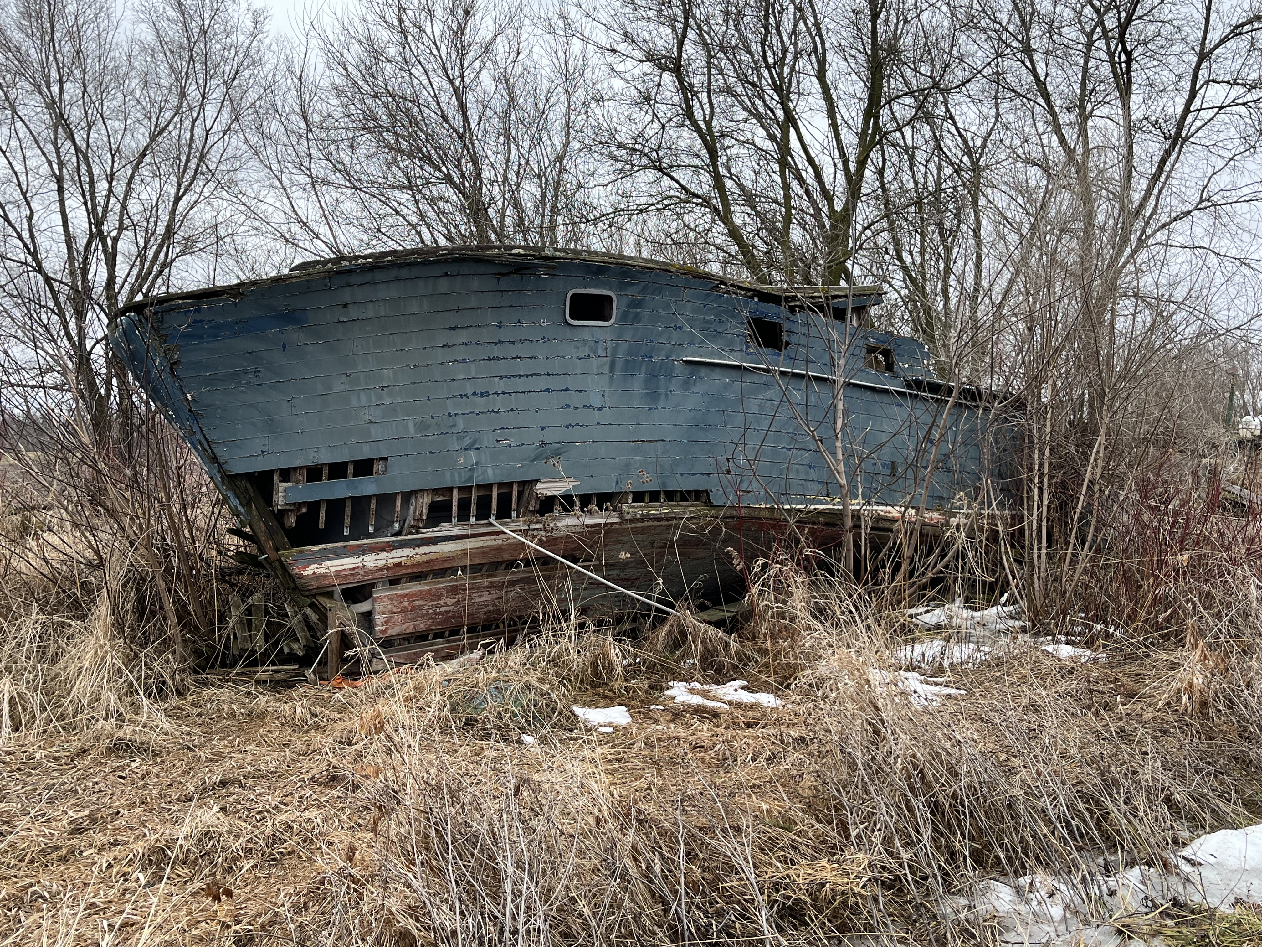
The fields and forests around Mongolia are littered with the neglected dreams of the former inhabitants. Many out buildings, barns and drive sheds remain as well as several abandoned cars and at least a couple of boats. Now that this section of the former airport lands has been designated as part of Rouge National Urban Park it may be that some of this will be demolished while the rest is left to vanish into the new forest as it regrows across the farm fields.
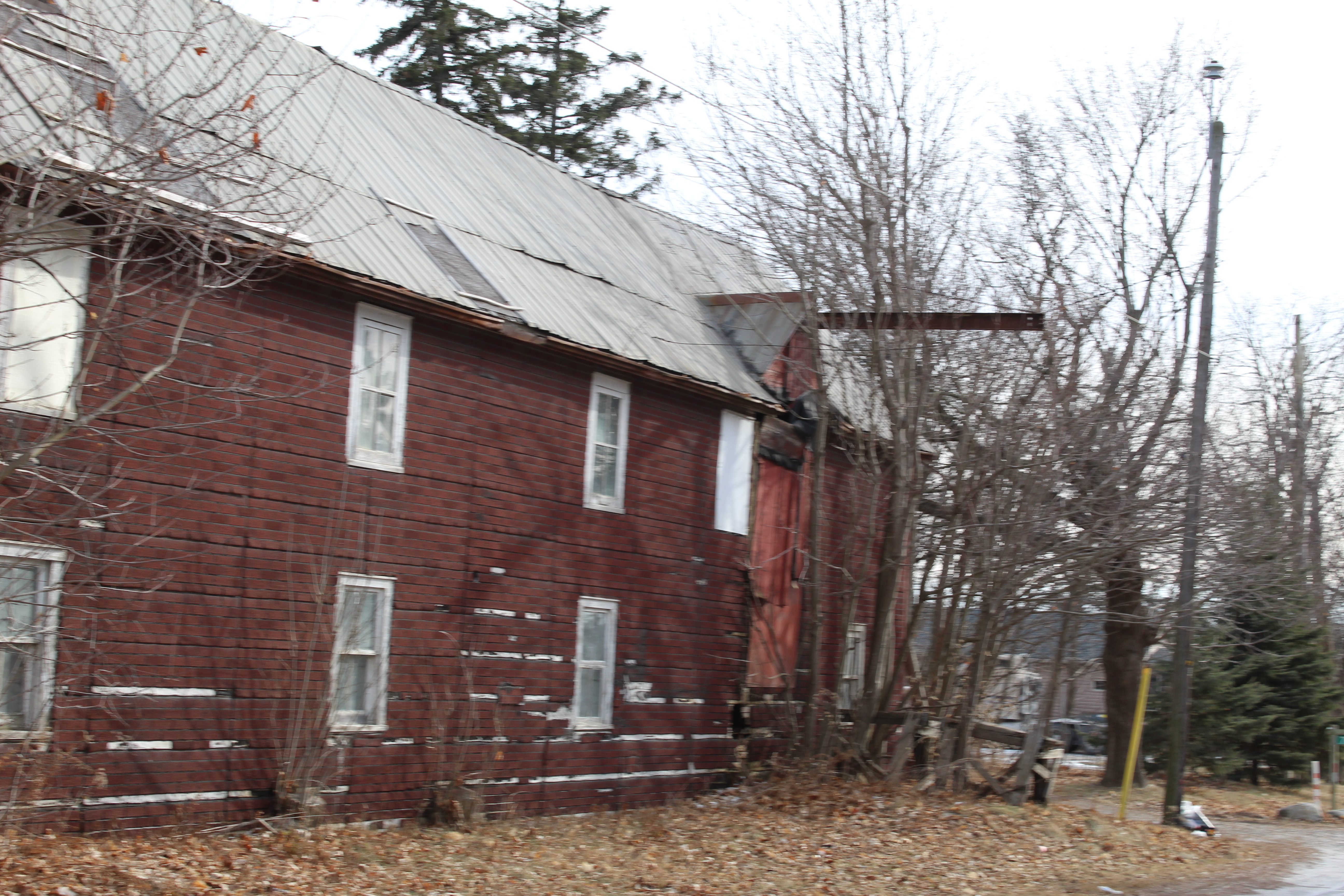
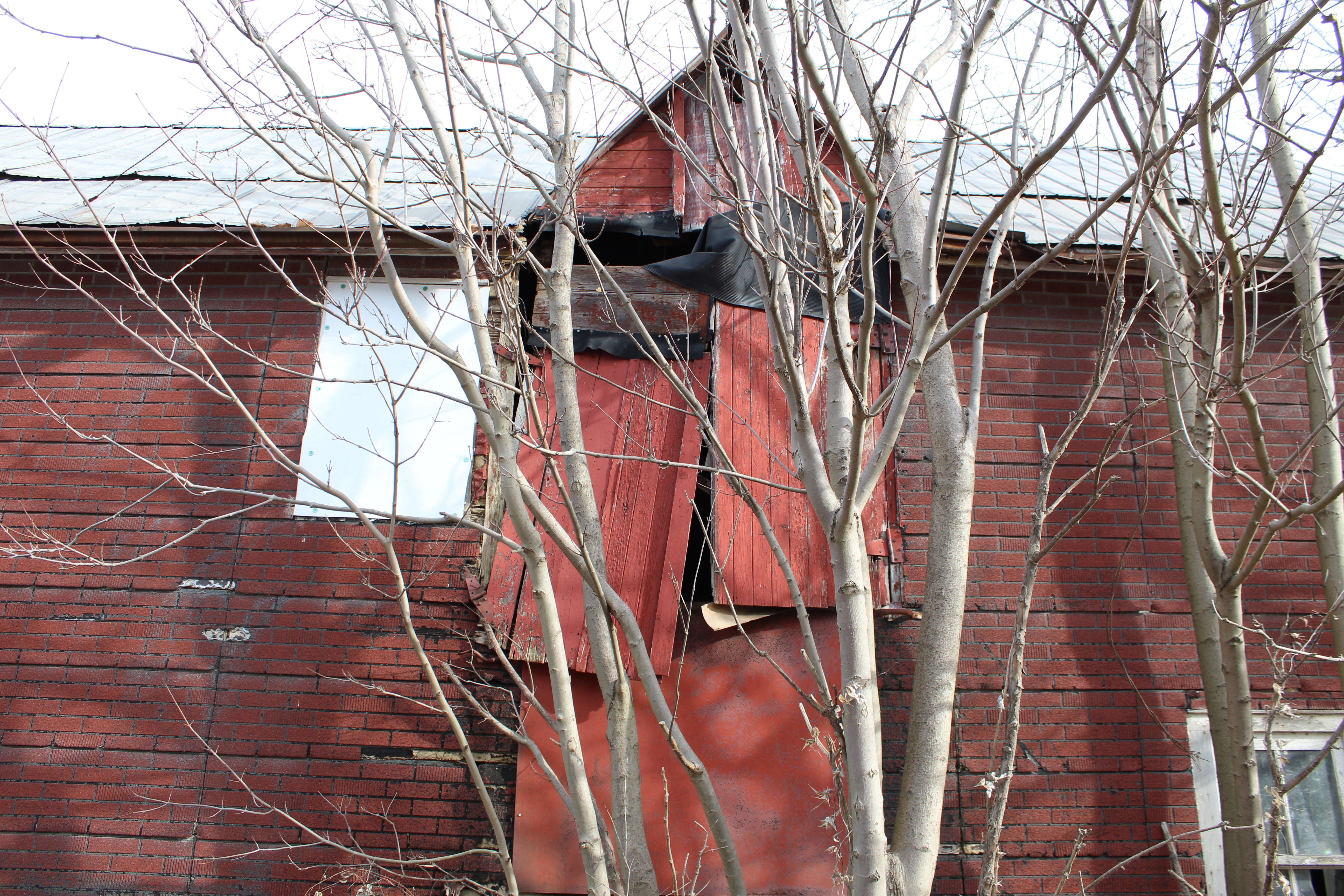
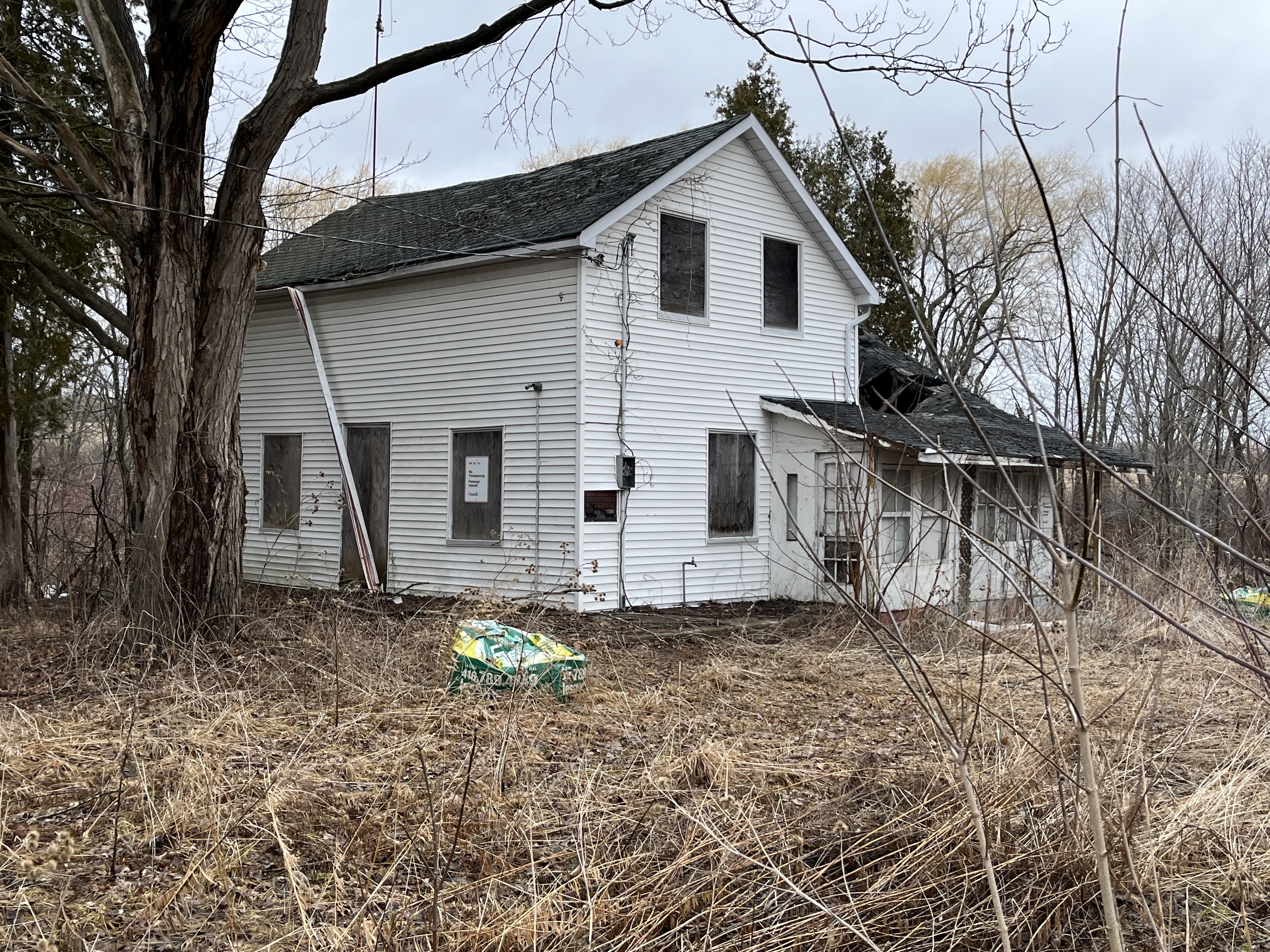
The James Collins house was built in 1850 and was also subjected to white siding which likely hides a lovely brick or stone home on its stone foundation. The entire back side of this house is missing the roof and it won’t be long before this heritage designated home is lost forever.
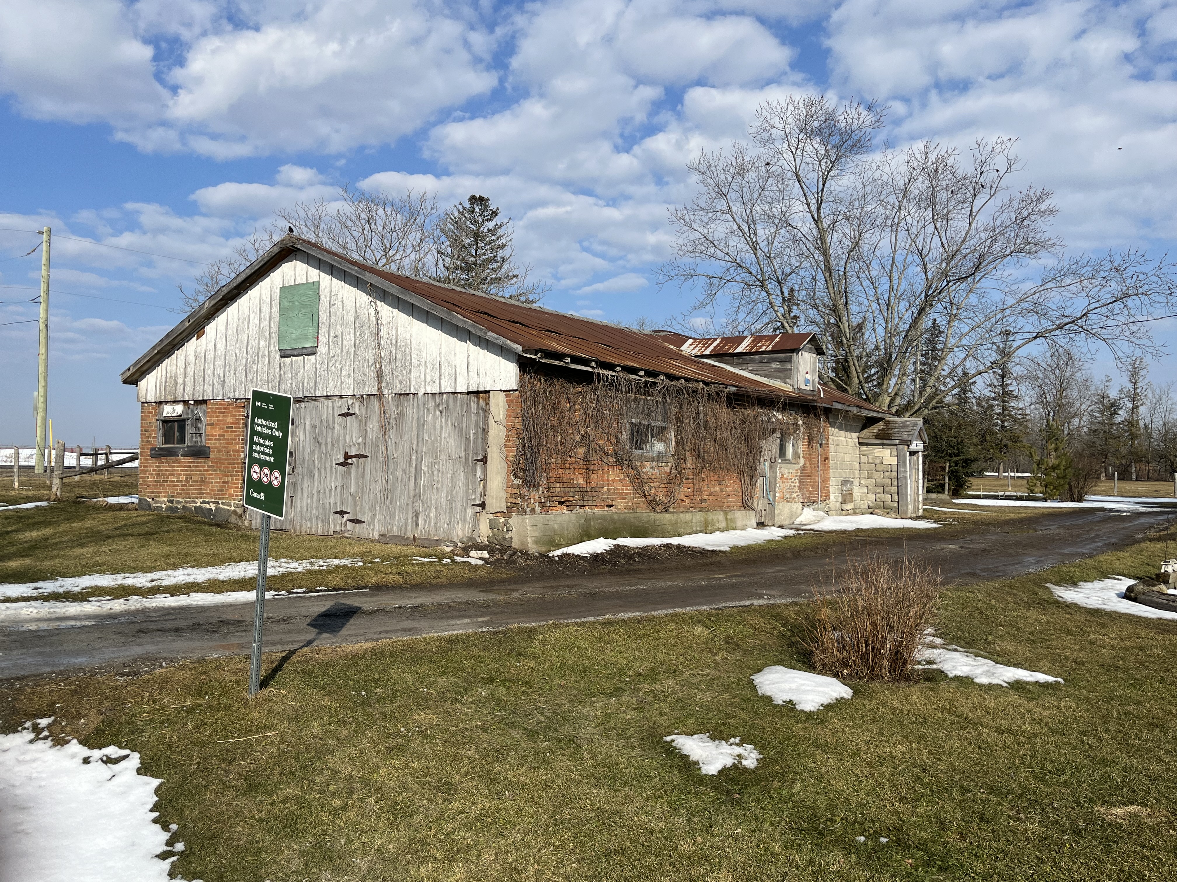
The drive shed on the property is still in very good condition even though it may have been 50 years since the farm was active.

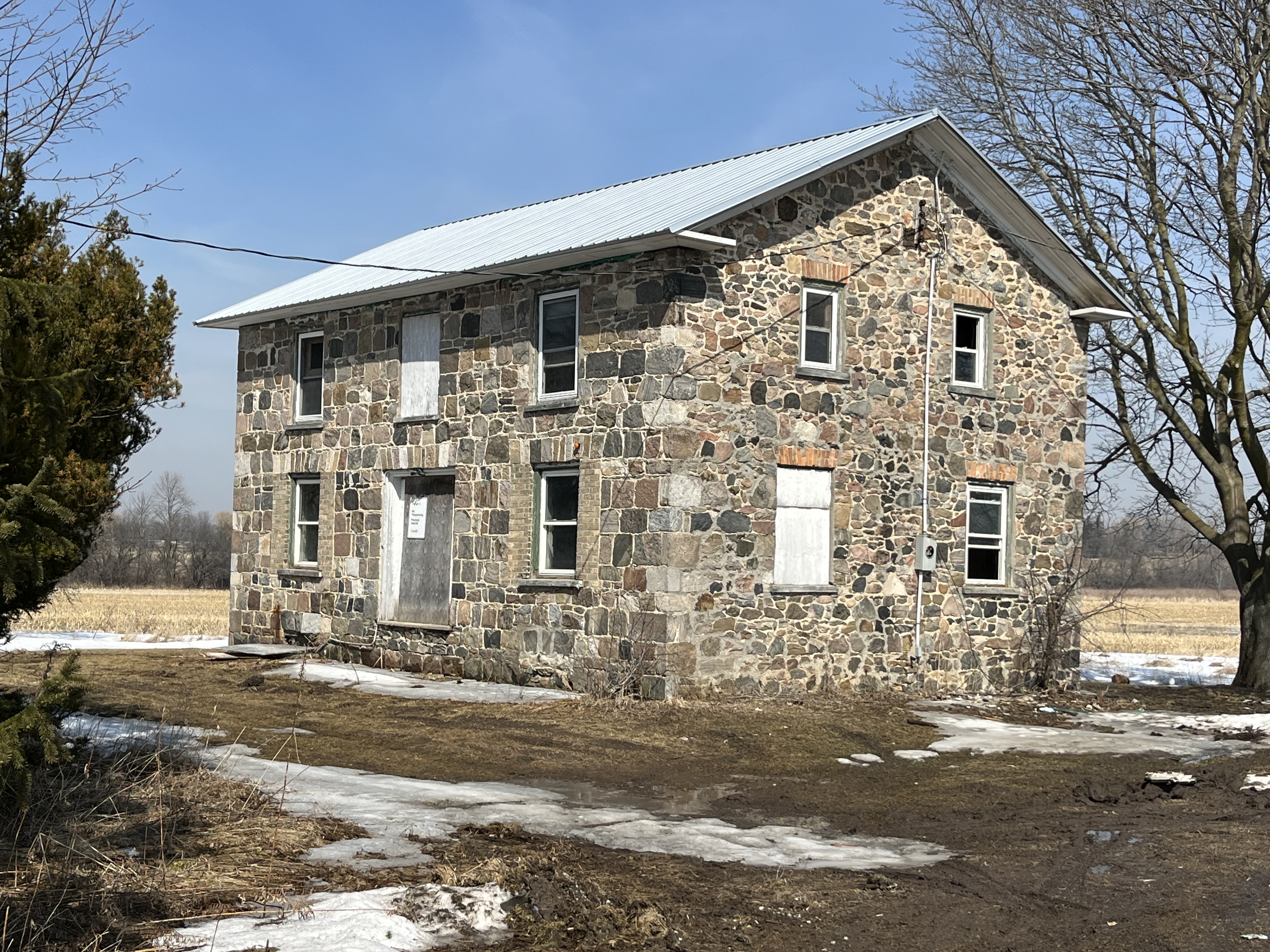
Another heritage property is the David Burke house from 1850. This home still looks pretty solid but has had all the interior walls stripped down to just the framing. One noticeable alteration to the home is the ground floor windows which have been replaced with smaller ones. Buff coloured bricks have been used to fill in the openings around the smaller windows which hides the alteration from a casual glance.
The Adam Betz house stands on the south west corner lot as it has done since 1851. Another one of the white siding victims in town, it stands an a thick stone foundation that may indicate another beautiful stone house.

Henry Barkey took over the North East corner of the intersection from Jacob Barkey in 1832 and lived near the centre of the lot. In 1860 a blacksmith shop was built near the corner of the intersection and was rented by George Calvert who appears in the 1861 census and the following couple as well.
The tenant in the house next door was usually the blacksmith although after the blacksmith shop closed it was rented to various people until it was taken over for the airport. It still appears to be lived in under a rental arrangement with the government.

School section #22 originally occupied a frame building on the east side of Reesor Road but in 1882 a new brick school house was opened across the street. When the school was closed the building was renovated and continues to serve as a residence.

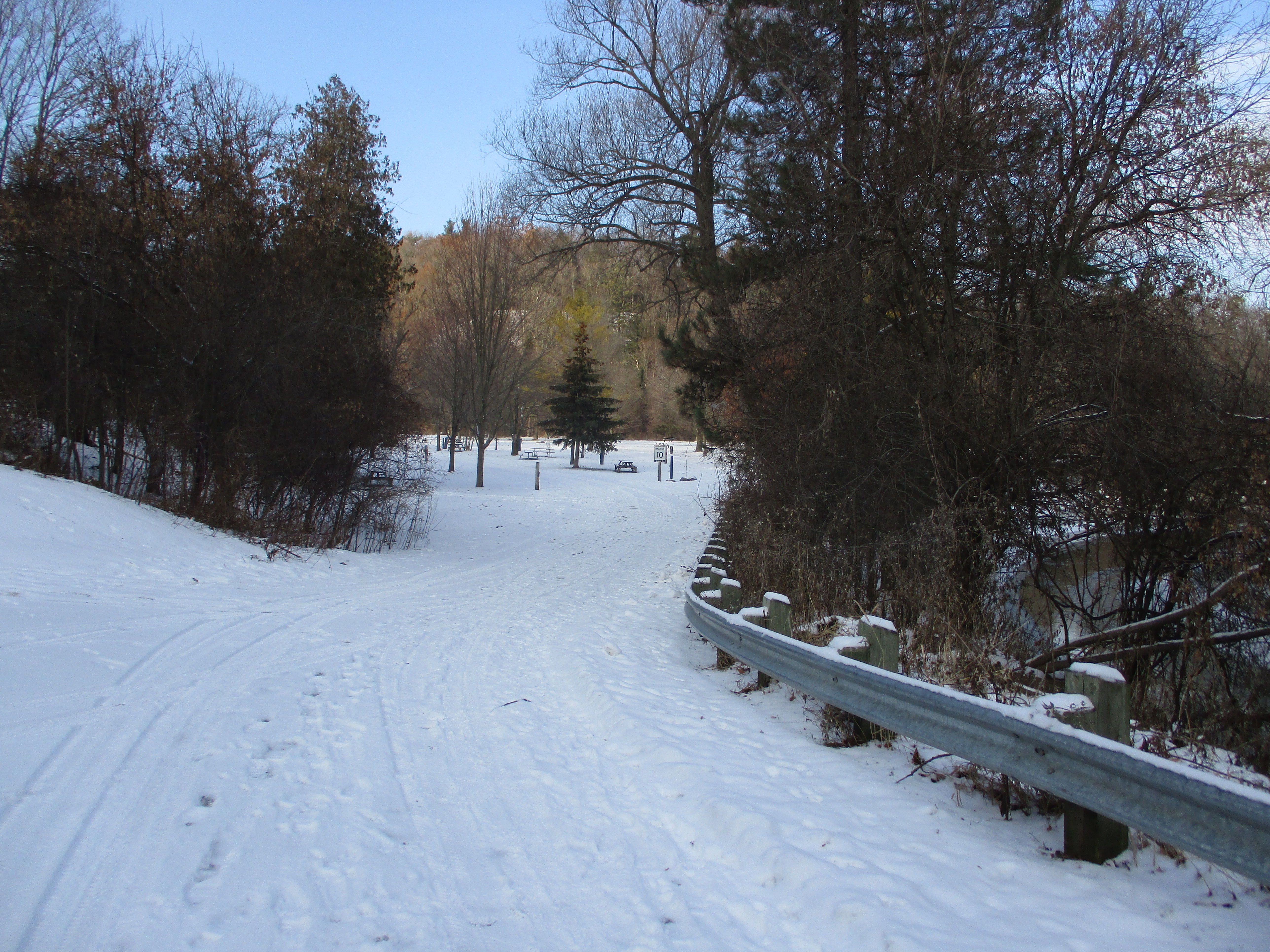
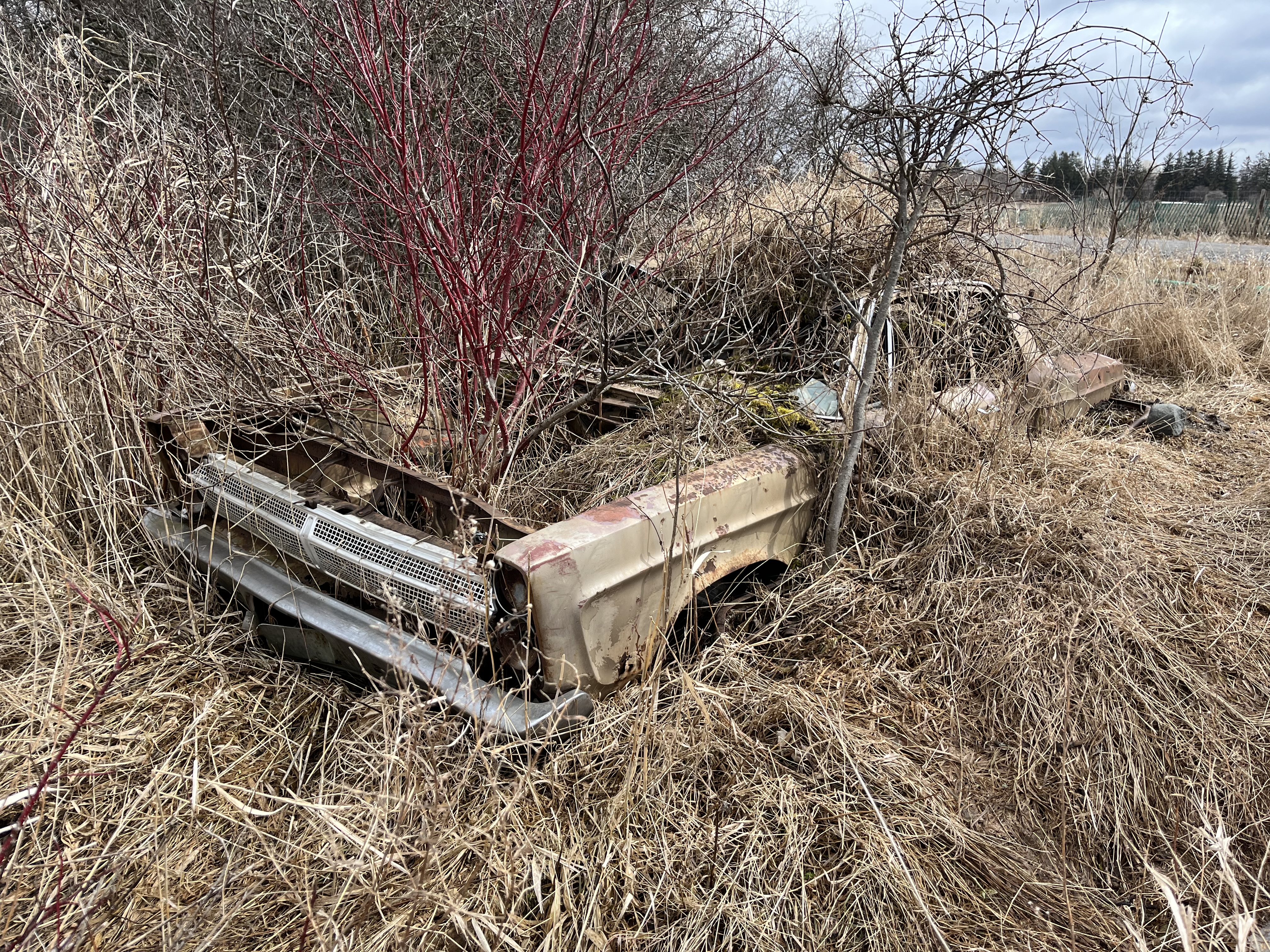
There is a new trail that leads west from the parking lot and then turns south. It currently runs for only a little more than a kilometre but will eventually connect to a new parking lot on Major Mackenzie Drive. If you keep your eyes open you will find a 1965 Plymouth Fury which has obviously been parked here for quite some time. The Fury model was first released for the 1956 model year and was updated to its fourth generation for 1965.
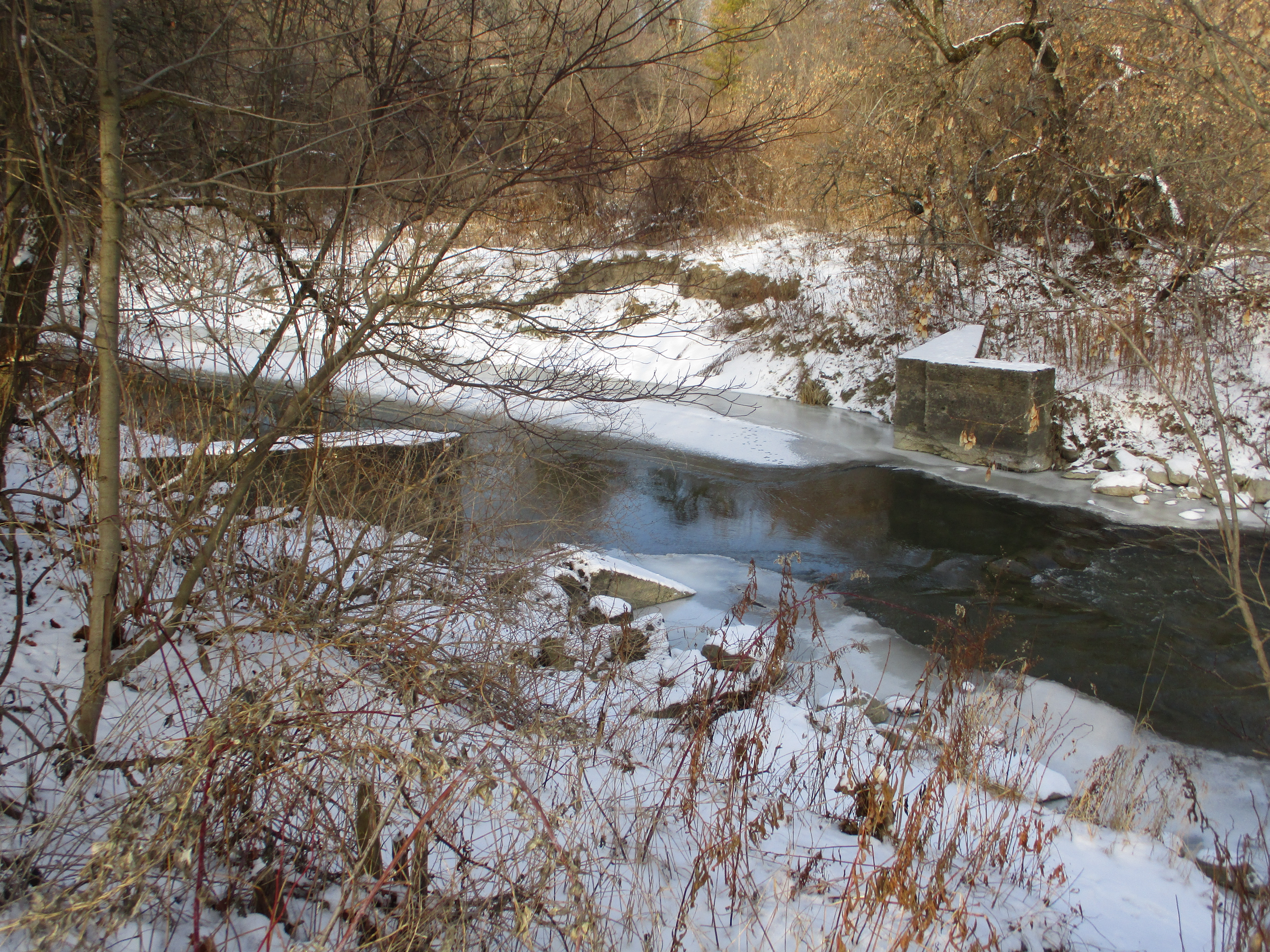
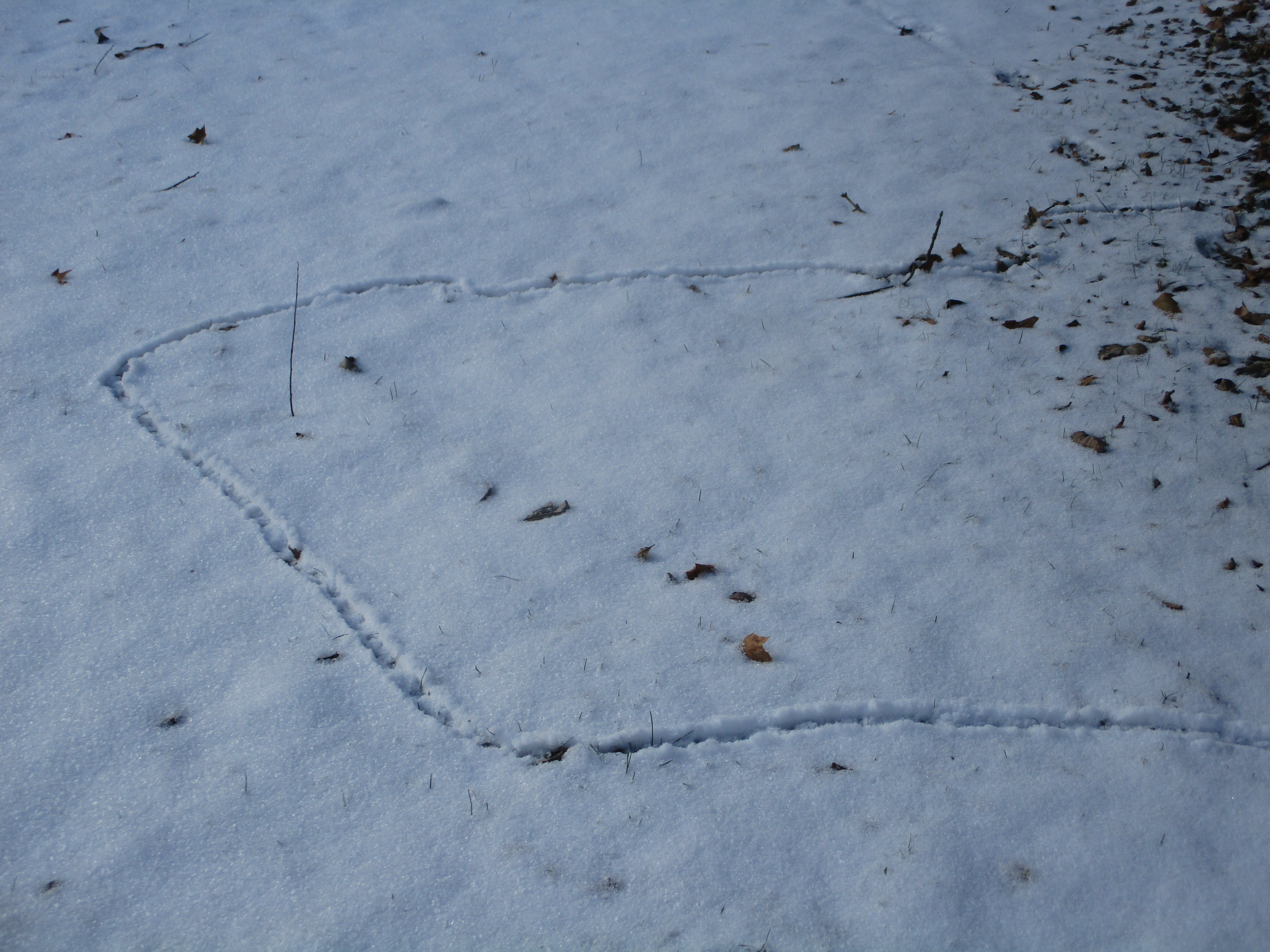
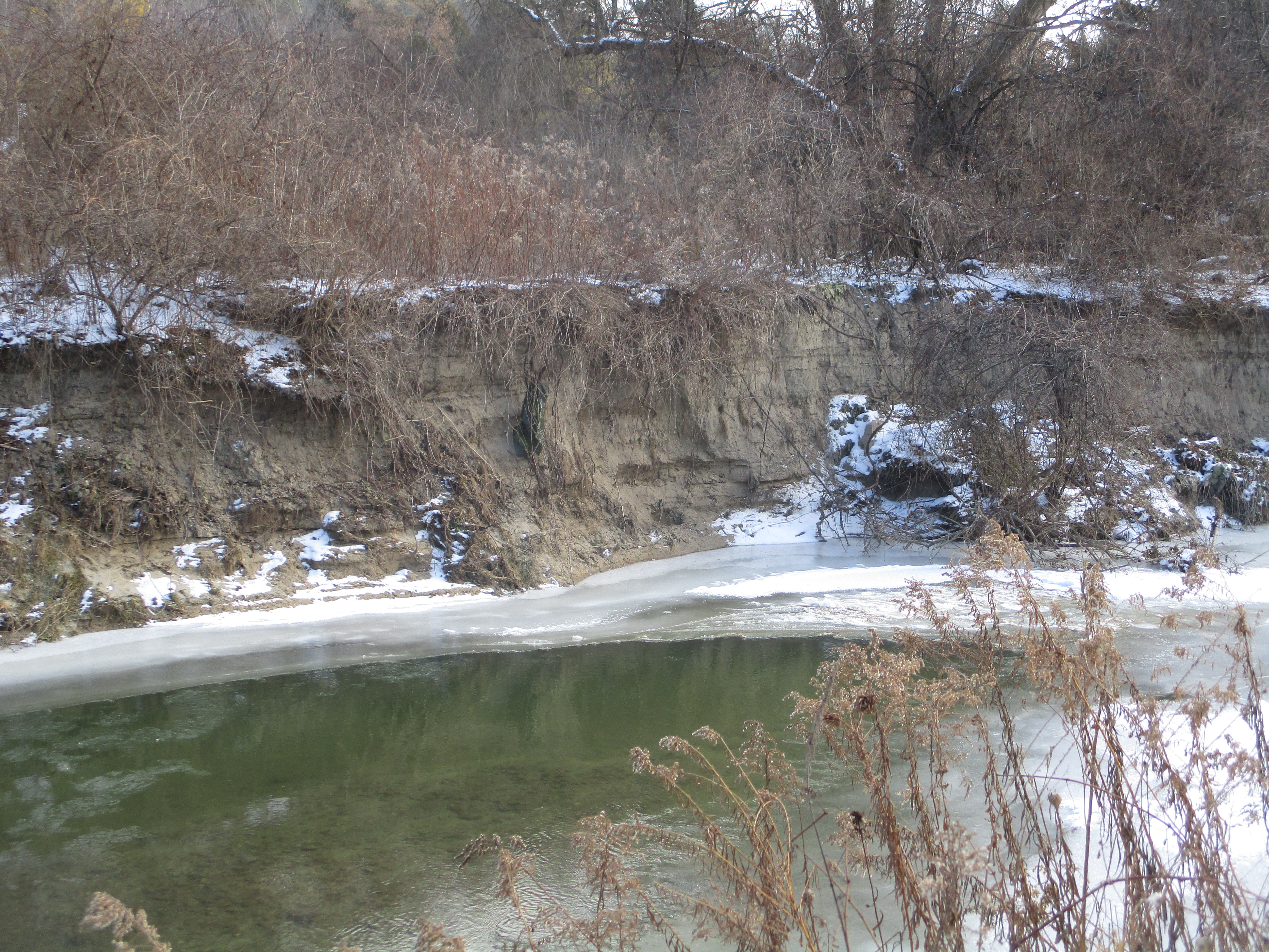
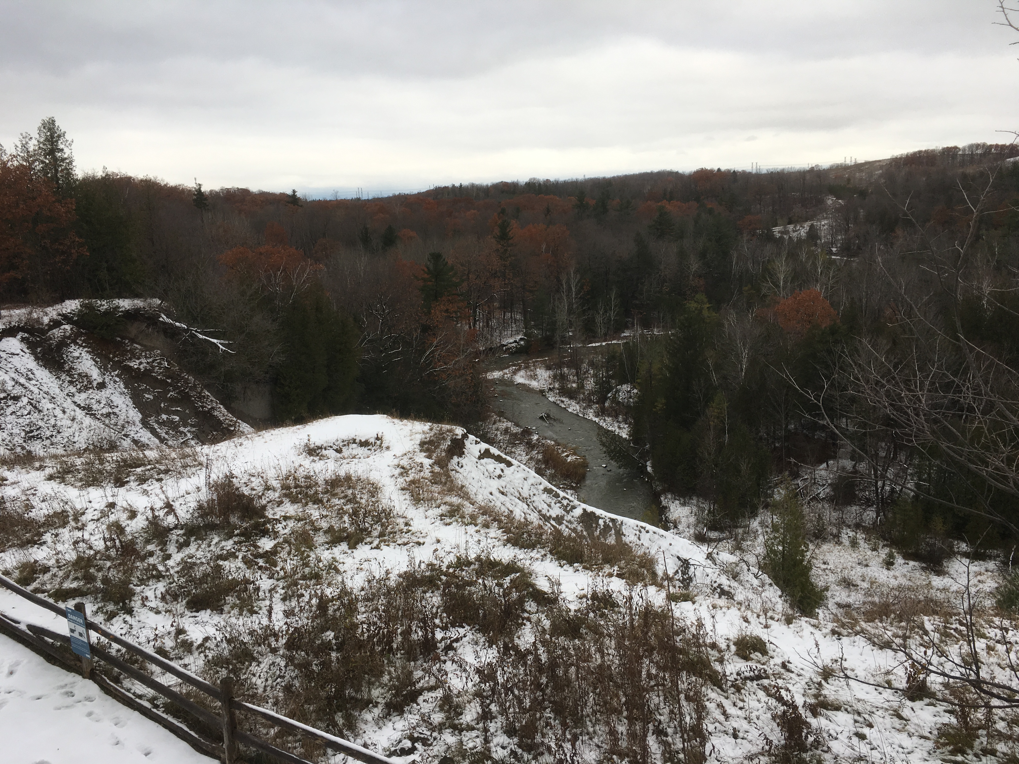
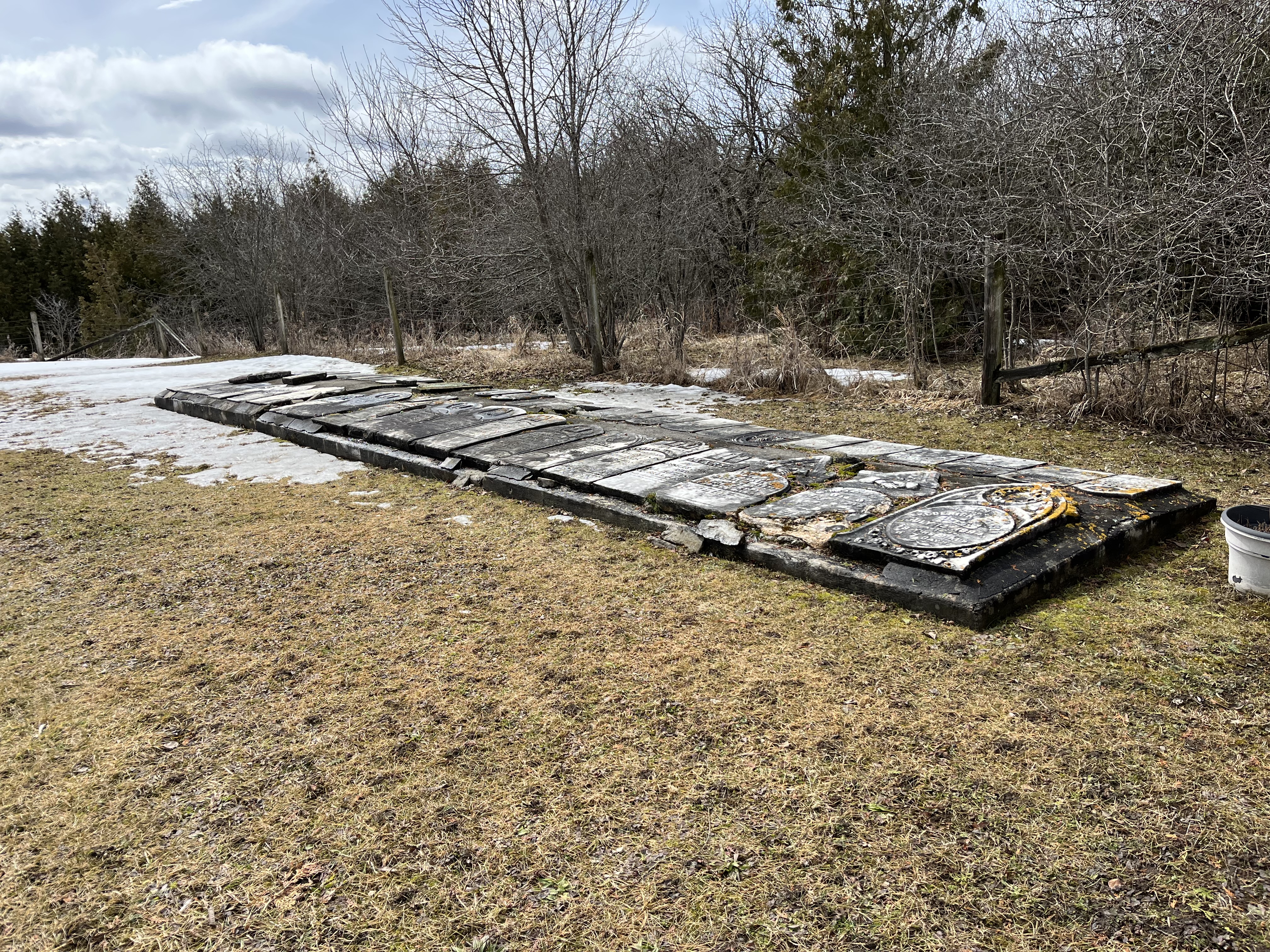
The Methodist church stood north of the main intersection but its burial grounds were on the property of John Boyles. Located on a small plateau overlooking the river, it stands about 400 meters from the road. The stones have been gathered up and placed into an unusual ground level cairn with the stones lying flat. They may be more subject to the weather than they would be in a more common vertical presentation. There are at least 47 burials commemorated in this cairn and one additional one from 2002 that has a grave marker beside it. Please note that the trail ends before the cemetery and it is not part of the trail. If you choose to visit, please do so respectfully.
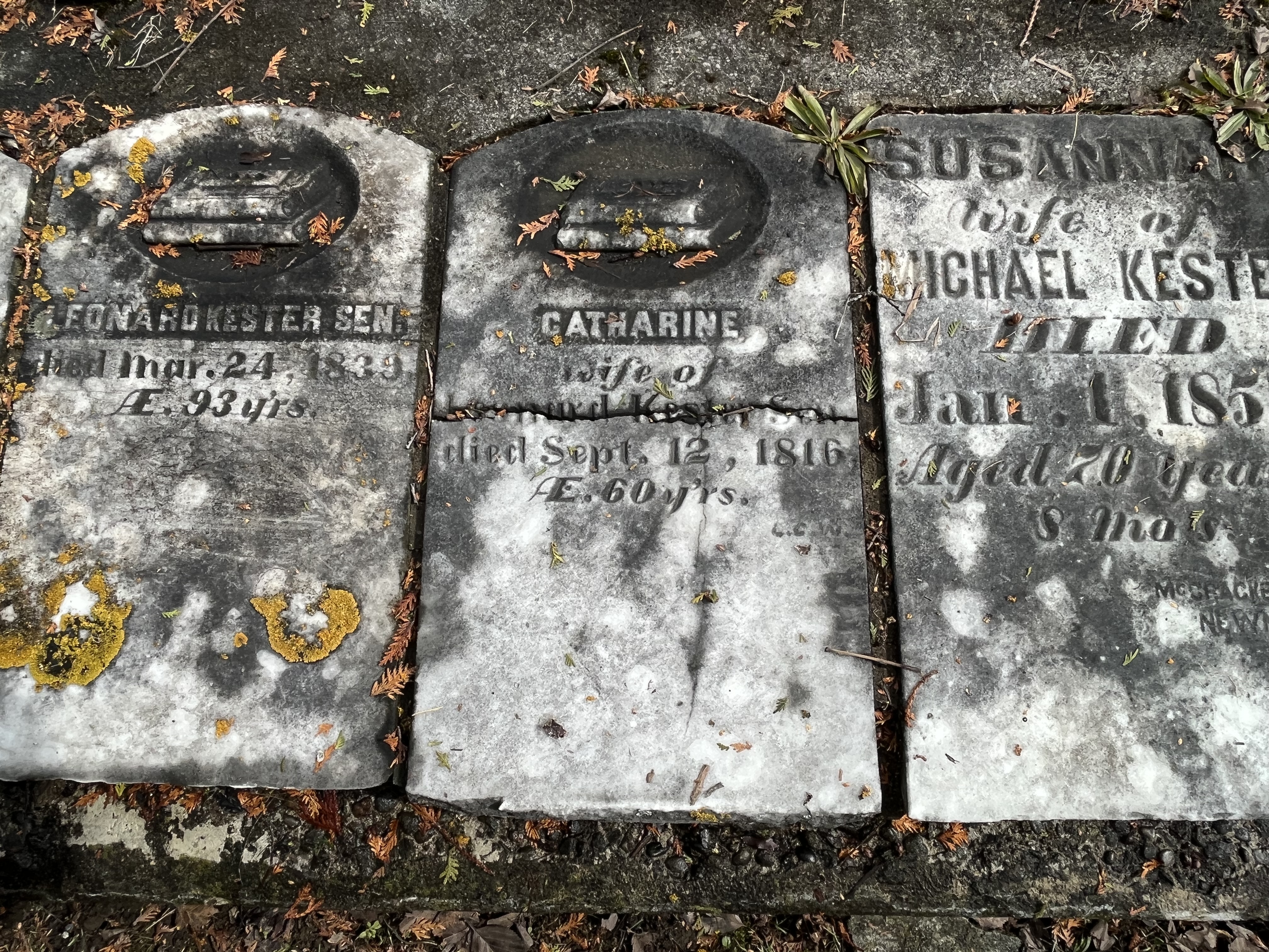
The gravestones in this cairn mark the lives of many of the early families in the area. John Boyles was the property owner and he died June 23, 1885 at the age of 91 and is buried here. Catherine Kester died on Sept. 12, 1816 in her 60th year and her headstone is one of the earliest that I’ve photographed anywhere in the GTA.
We previously looked at Brougham, which is another one of the Pickering Airport Lands ghost towns, which has also been left to rot and be demolished. Mongolia has a lot of heritage designated buildings that won’t be around in another ten years because they’re already becoming structurally unsound.
Related stories: For more information about the Pickering Airport check out our post Brougham – Ghost Towns of the GTA.
Google Maps Link: Mongolia
Like us at http://www.facebook.com/hikingthegta
Follow us at http://www.hikingthegta
Also, look for us on Instagram