Saturday, March 31, 2018
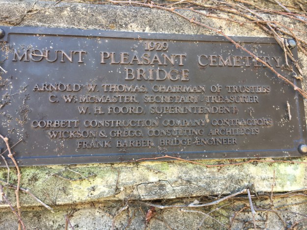
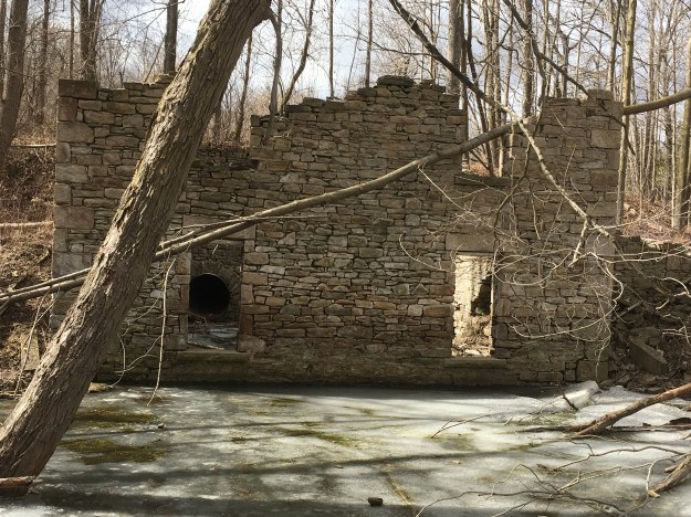
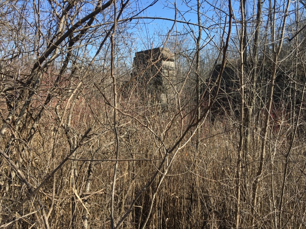
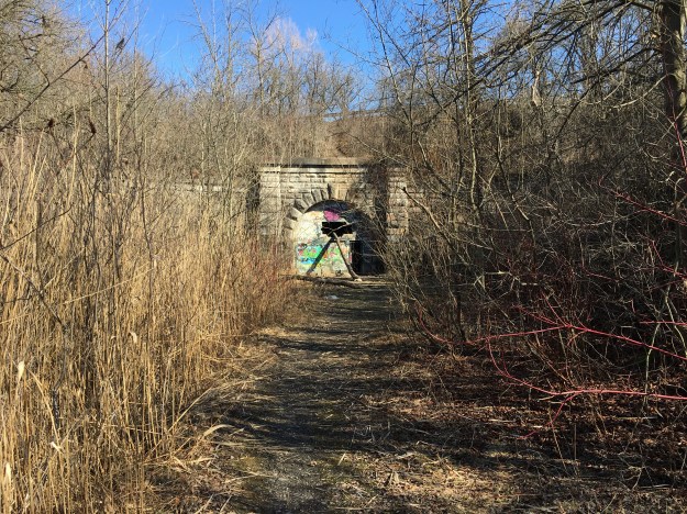
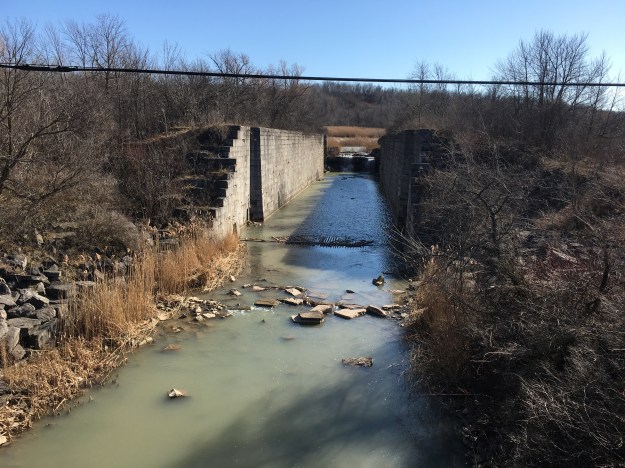
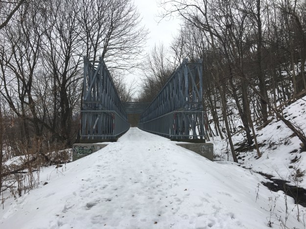
We had planned a visit to the Nashville Conservation Area near Kleinberg and found free parking near the intersection of Huntington Road and Kirby Road. The Humber Valley Heritage Trail follows the old right of way for Kirby Road east from the intersection. After a short walk you come to an abandoned bridge. Kirby Road formerly crossed The Humber River on a bridge named after the landowner. Lorne McEwen had owned the land since 1916. This reinforced concrete bowstring arch bridge was built in 1923 and was designed by Frank Barber. Barber had designed several bridges over the Humber River including the Old Mill Bridge.
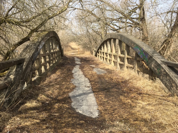
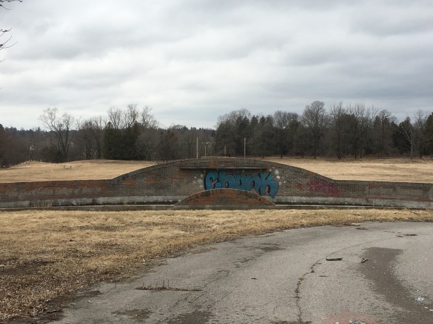
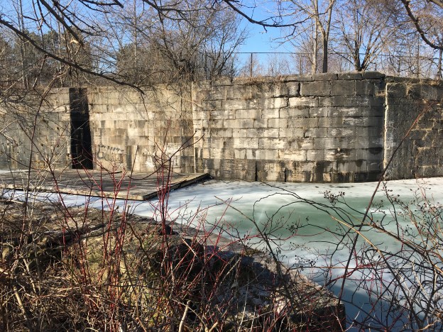
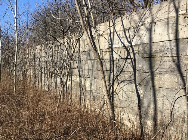
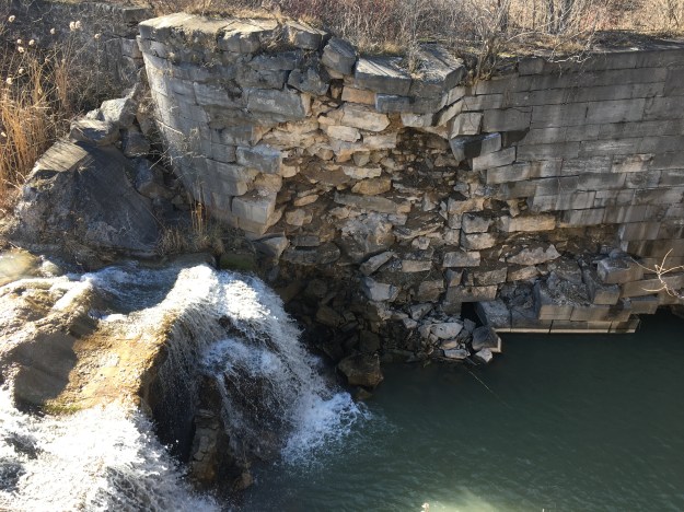
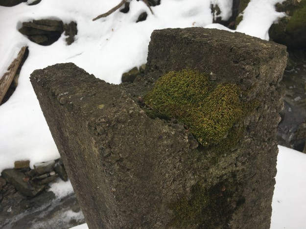
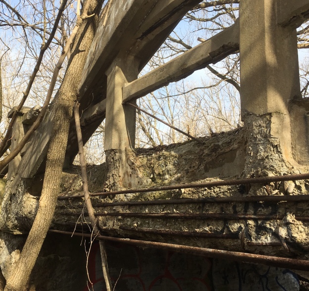
Kirby Road was closed in the 1970’s when sections were deemed unsafe due to excessive erosion. This left the bridge with no formal use until the Humber Valley Heritage Trail Association was founded in 1995 and began work on their trail. The reinforced concrete bridge has never had any major restoration and is crumbling badly. There are many places where the steel reinforcement is exposed. The side of the bridge in the picture below has chipped away leaving all four rows of re-bar rusting. The road deck is also in bad shape and was most recently patched with steel plates that sit uneven on the surface.
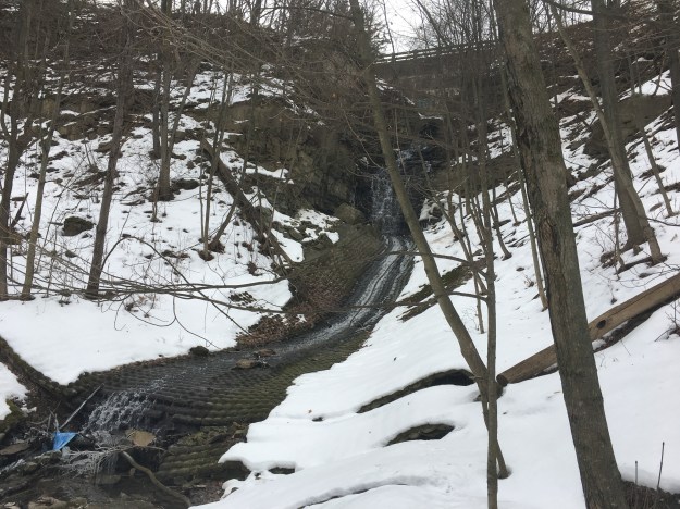
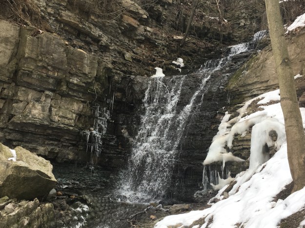
From the bridge the trail leaves the old right of way so we decided to follow the road instead of the trail. The old road bed can be seen by the shape of the landscape.
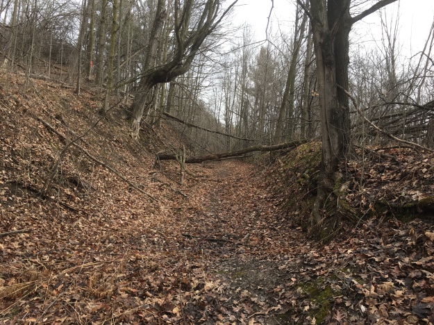
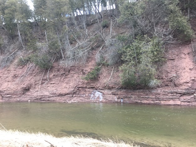
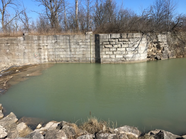
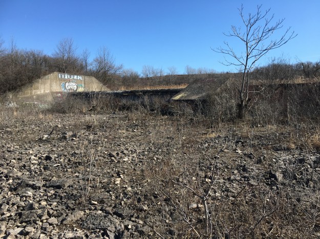
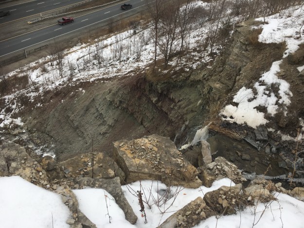
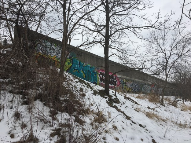
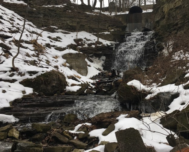
The section of Kirby Road that led to the closure of the bridge has since disappeared into the river below. The two ends of the roadbed are marked with arrows on either side of the landslide.

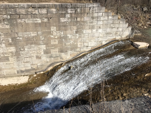
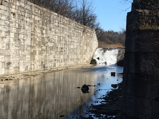
This is the view from the edge of the roadway down to the river below. Obviously, closing the road to vehicles was a wise decision. The only other option would have been the creation of a new road alignment roughly where today’s Humber Valley Heritage Trail runs above the former roadway.

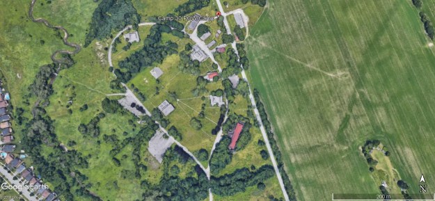
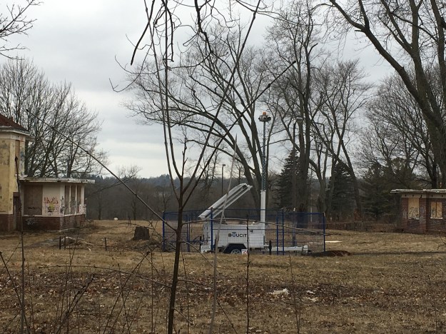
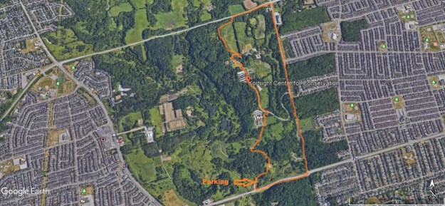
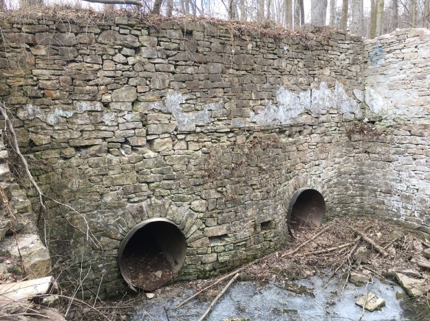
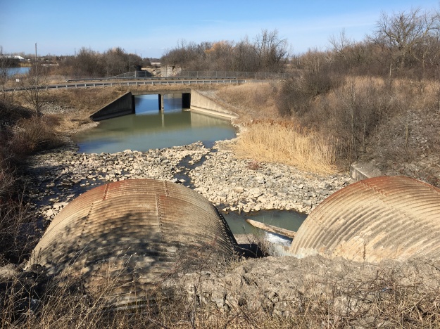
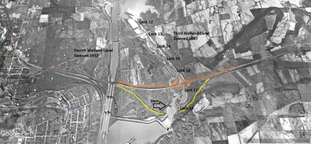
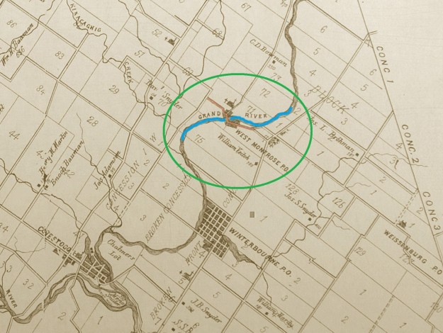
A recent study on the Humber River watershed identified 1250 crossings of some nature. Wood, cut stone, steel and concrete have all been employed as construction materials over the years and each relates to a period in the development of Ontario. McEwen Bridge is one of 33 that were identified as having heritage significance but not one of the five that have been designated under the Ontario Heritage Act. It is, however, one of four others that have at least been listed. Being designated provides legal protection to a heritage property while being listed does not. A listed property can be demolished by the owner if they give 60 days notice. The local council would then have time to designate the property if they wished to protect it. This means that the old bridge on Kirby Road is actually in danger of being demolished. A study is being undertaken to review the costs of preservation. The bridge is marked on the map below, taken from Google Earth, as well as the site of the erosion and landslide that closed the road. The road allowance is marked in yellow.

The Nashville Conservation Area takes its name from the nearby community of Nashville. Originally the community was known as East’s Corners after Matthew East, who became the first postmaster in 1881. Later, Johnathan Scott came from Nashville, Tennessee and changed the name. Nashville grew because of the railway station that was built there by the Toronto Grey and Bruce Railway. The railway station was for Kleinberg but was located a short distance outside of Kleinberg and it became the nucleus for the community of Nashville. Early settlers in Nashville were Presbyterian and services were held in local homes until a church could be constructed. The brick Presbyterian Church in Nashville was built in 1909.

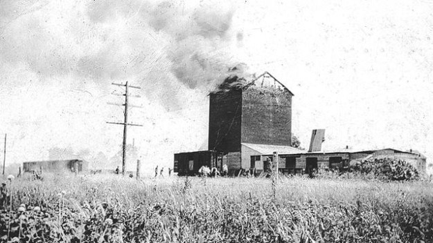
Nashville grew as a railway town centered on the railway station. Soon a saw mill and a grain elevator stood near the railway. Milling grain creates a lot of dust which becomes a fire hazard. Many grist mills and grain elevators were destroyed by fire and this was the fate of the original grain elevator in Nashville. The first elevator burned on July 15, 1919 while a second one was destroyed in 1927. That second fire is pictured in the archive photo below.
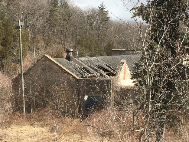
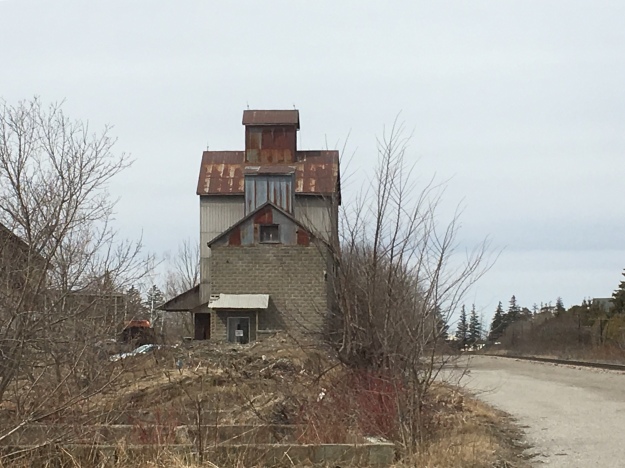
A new grain elevator was built in Nashville in 1930 and still stands beside the tracks. The siding on the right has been removed as the train no longer runs on that side of the building.
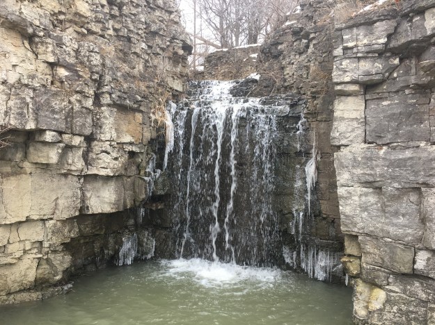
Having been sidetracked from our visit to the Nashville Conservation area we shall have to leave that for another time.
Google Maps Link: Kirby Road
Like us at http://www.facebook.com/hikingthegta
Follow us at http://www.hikingthegta.com