July 27, 2024
On a recent business trip to Ottawa I had a few hours of off time so I Googled to see what the top trails in the area were. One of them caught my attention because of the name. So, I decided to go investigate the Lime Kiln and Chipmunk Trail. This is just one of the trails that are part of the Greenbelt Trail Network.
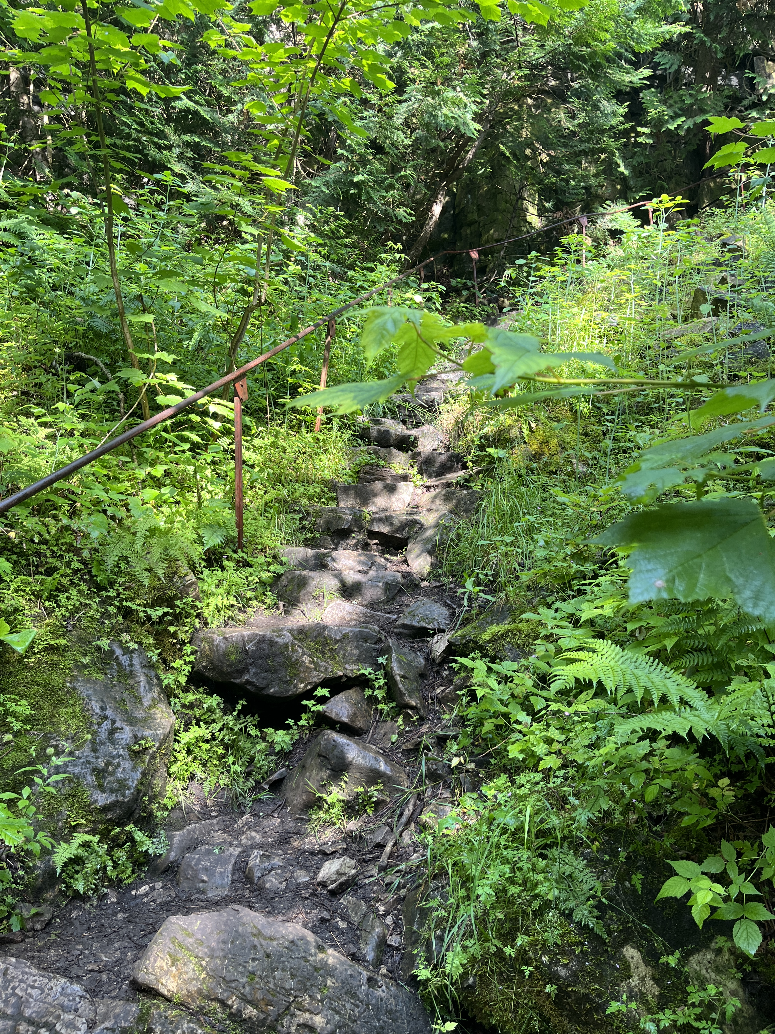
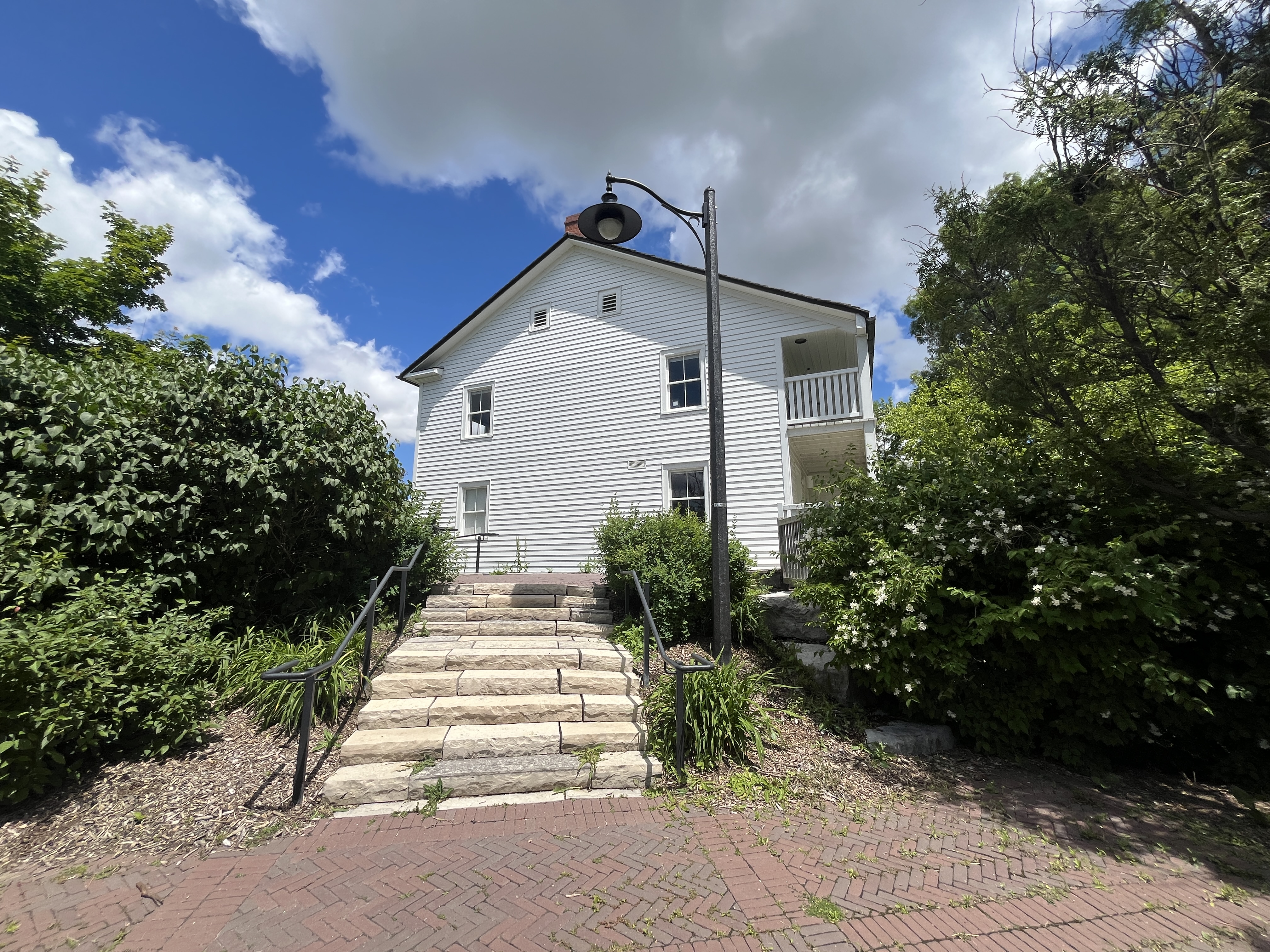
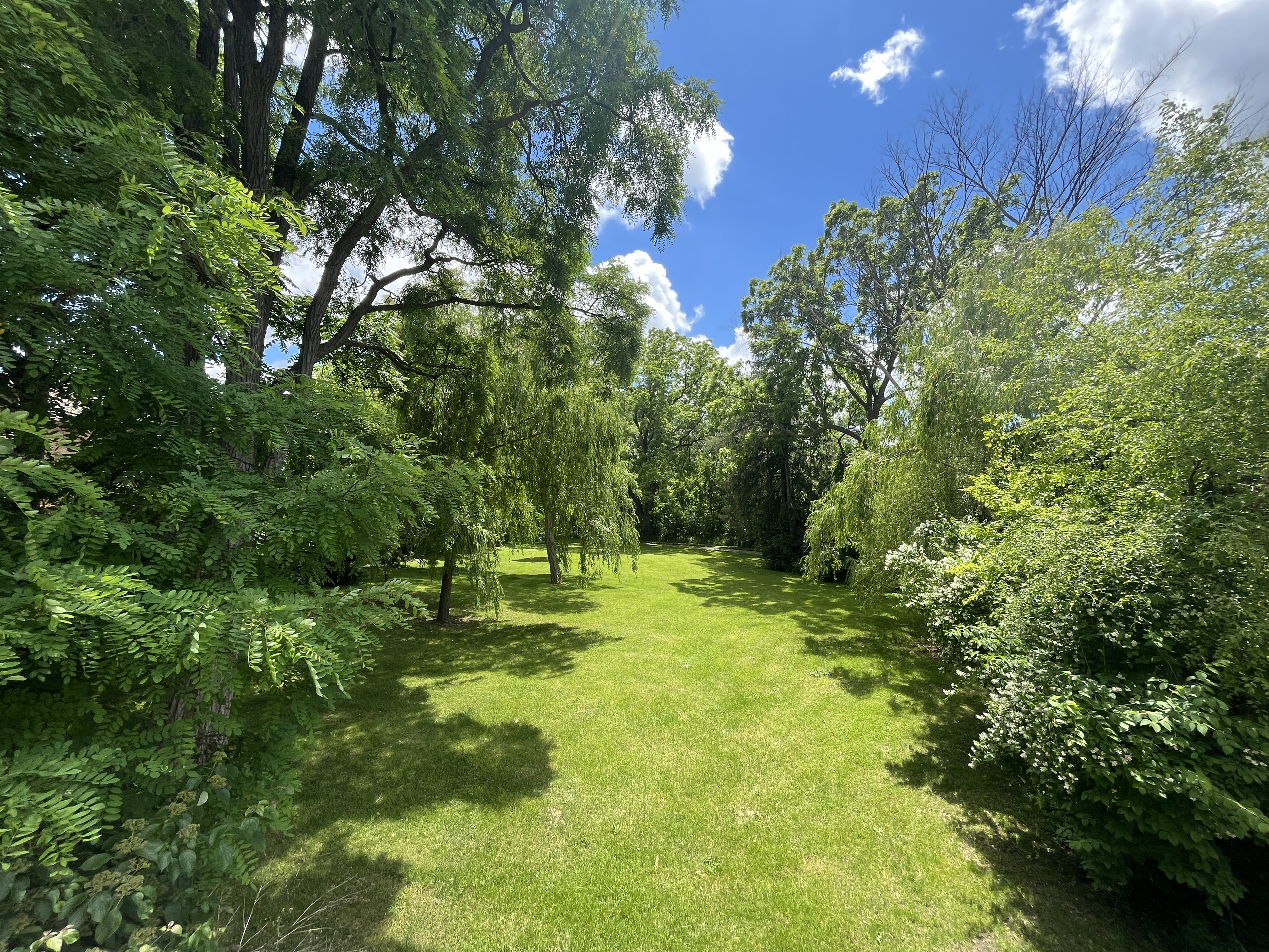
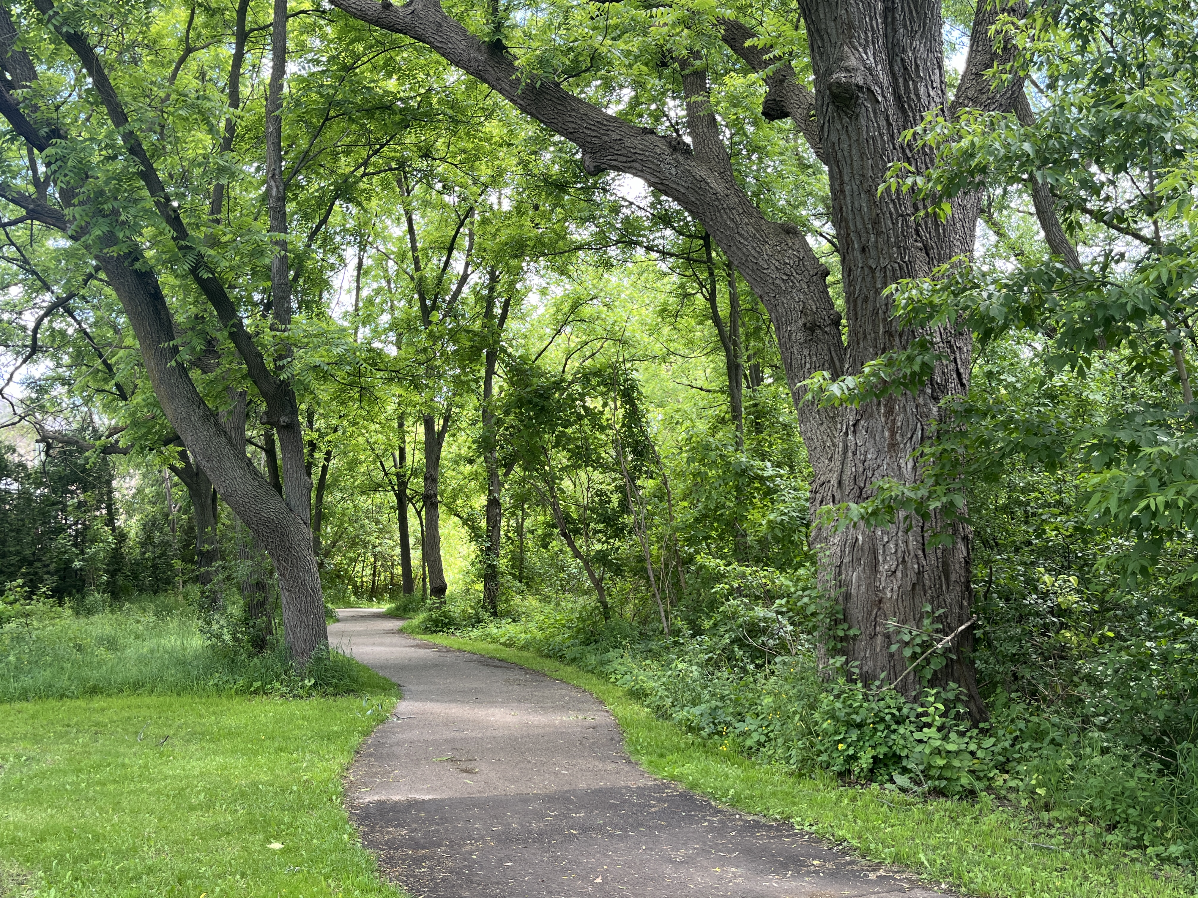
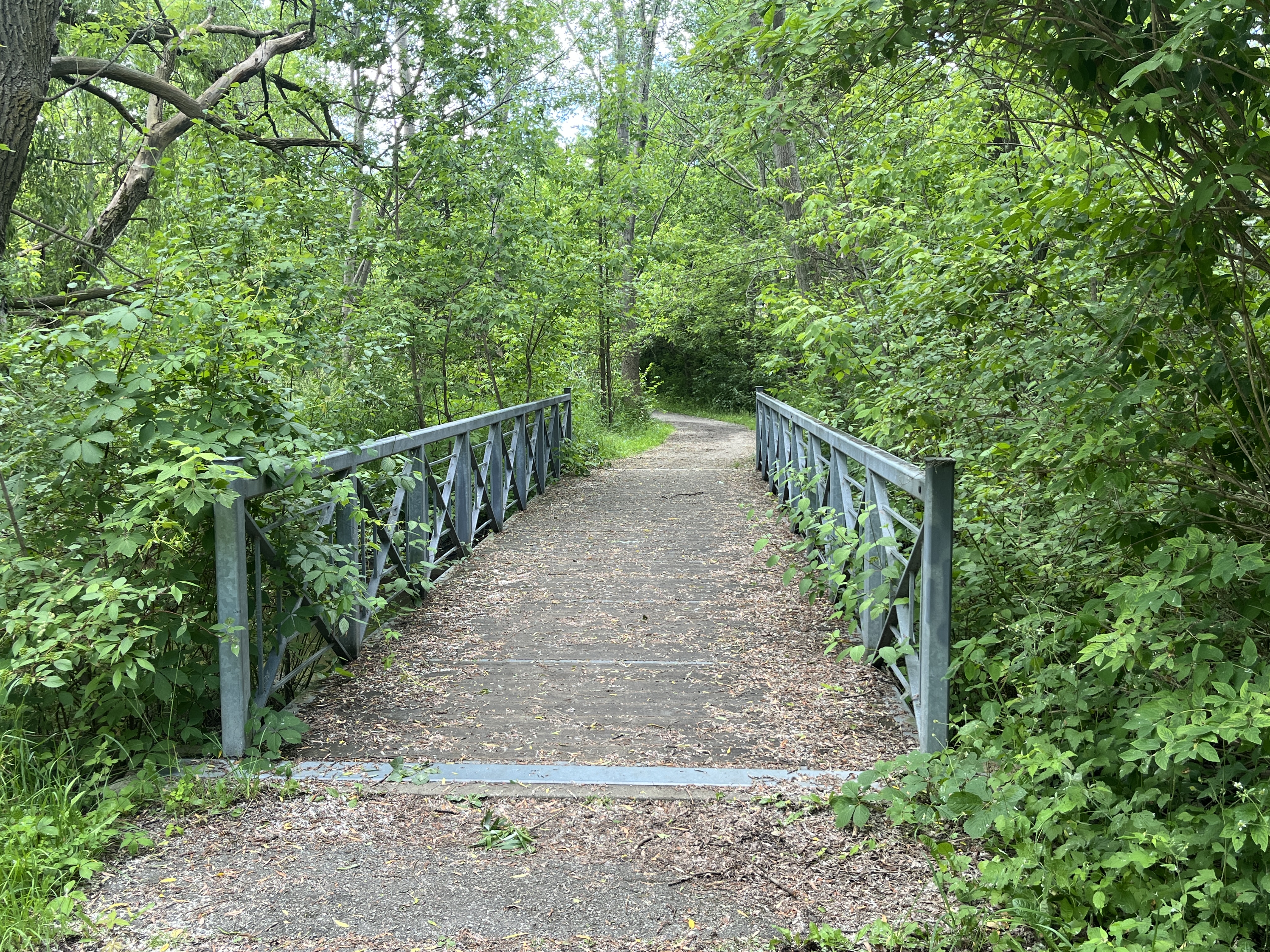
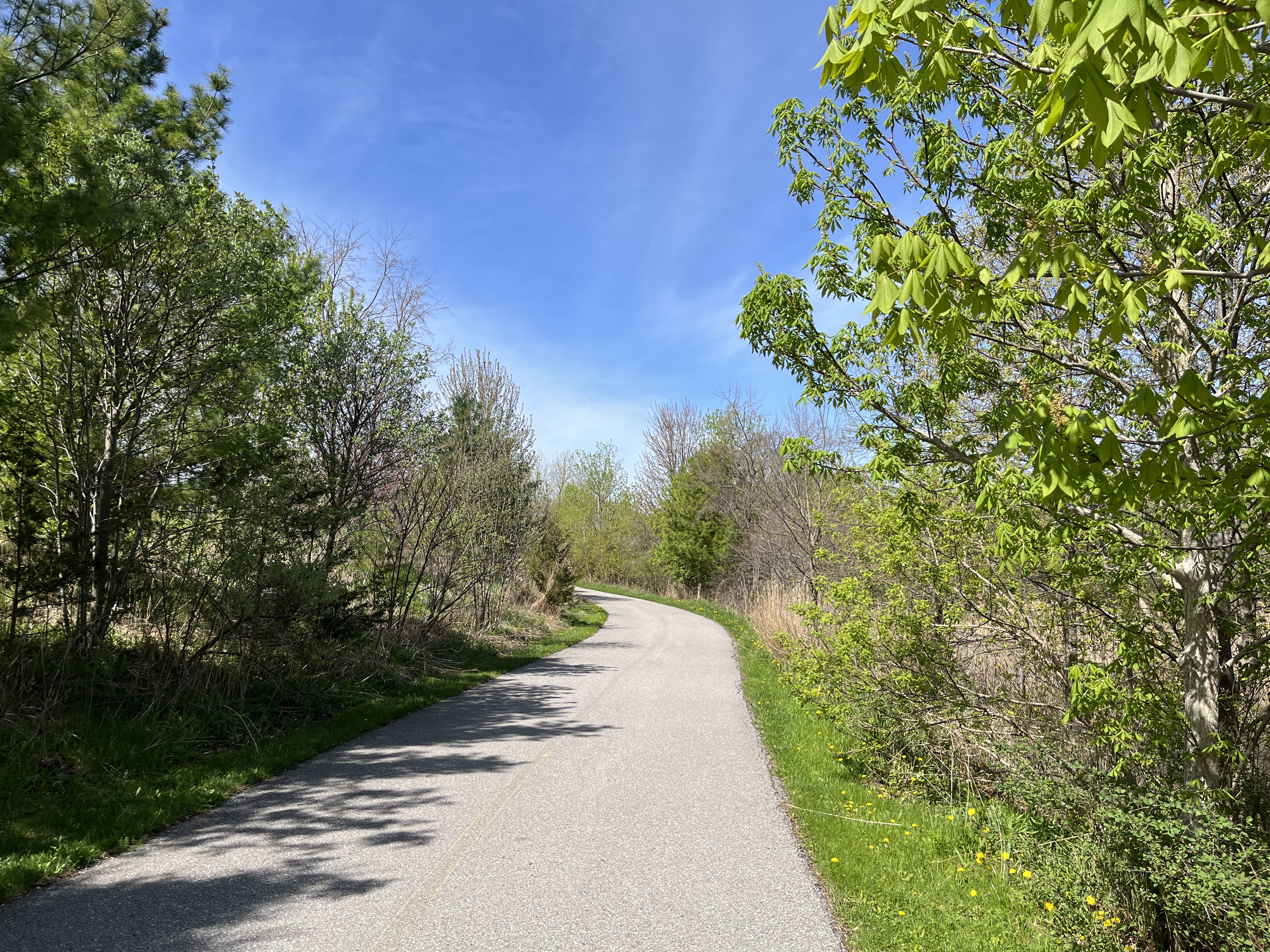
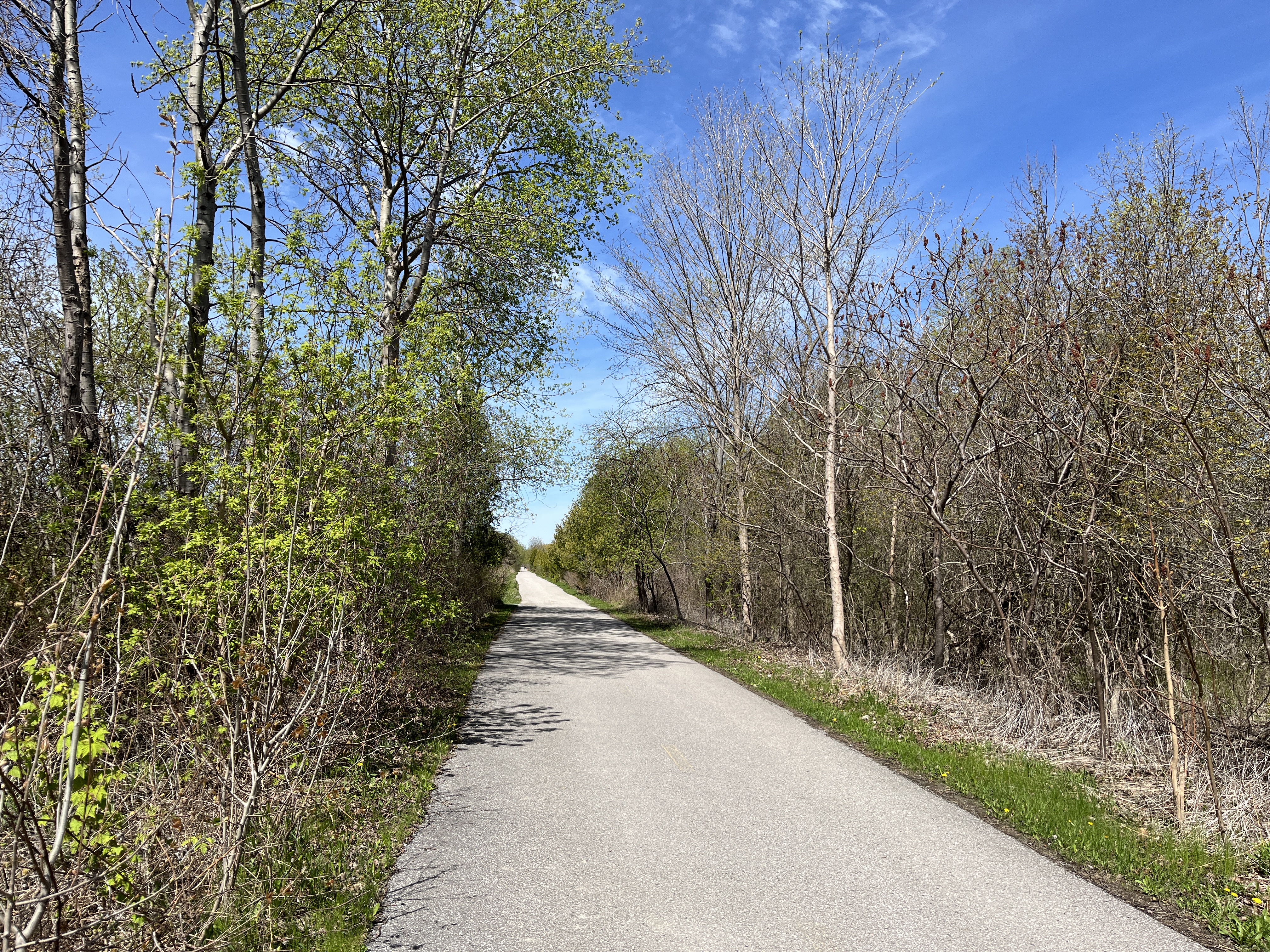
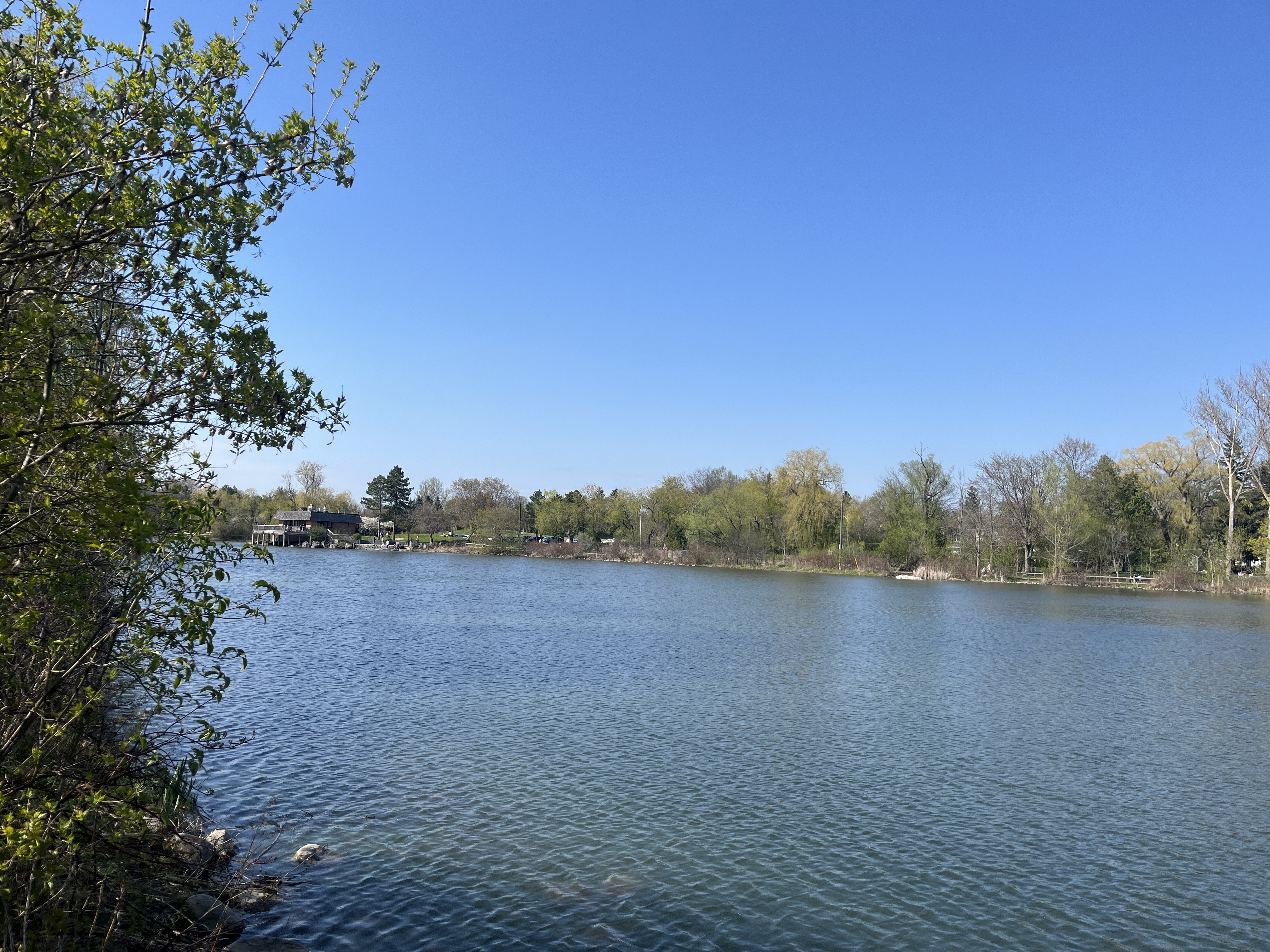
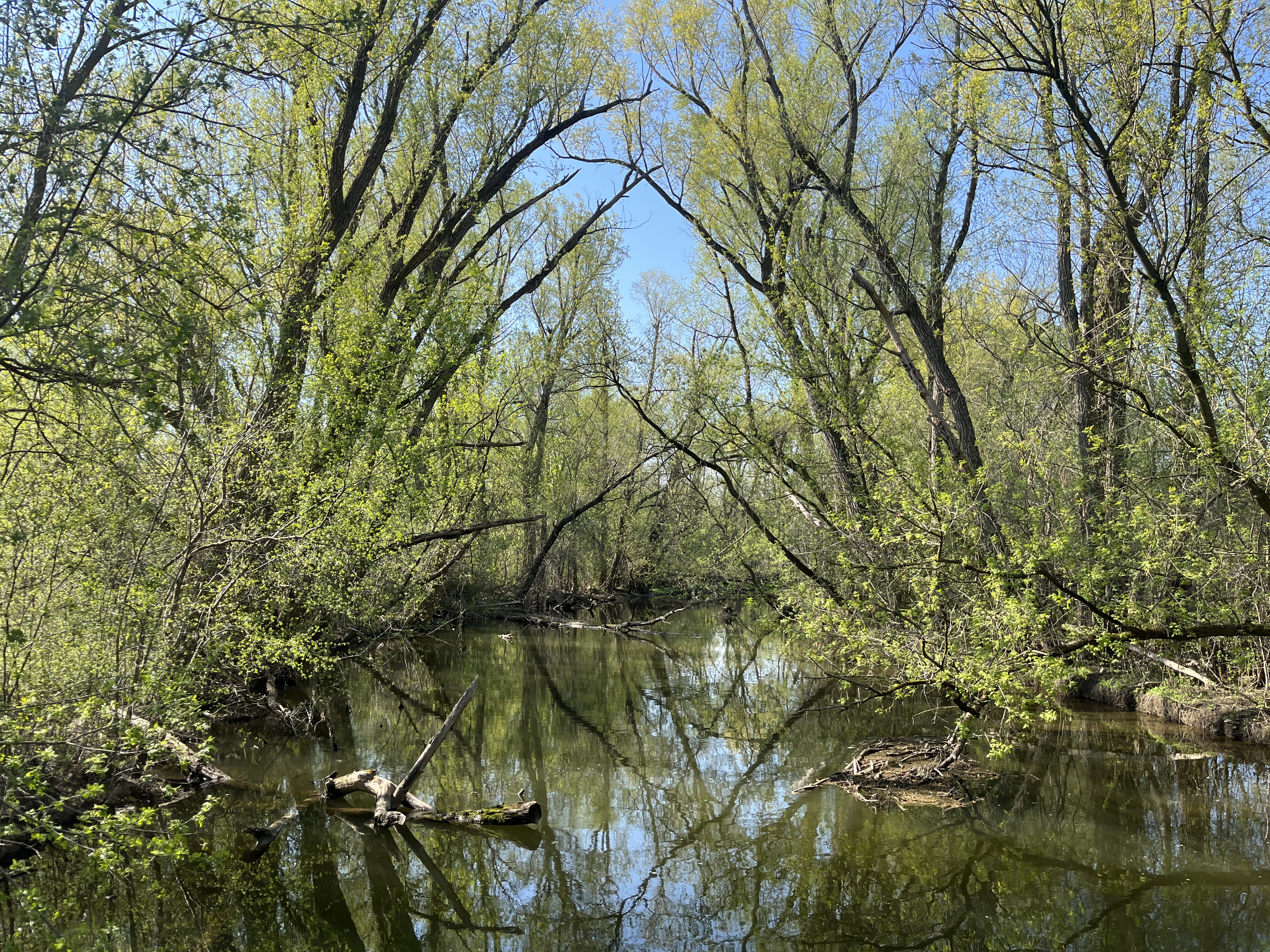
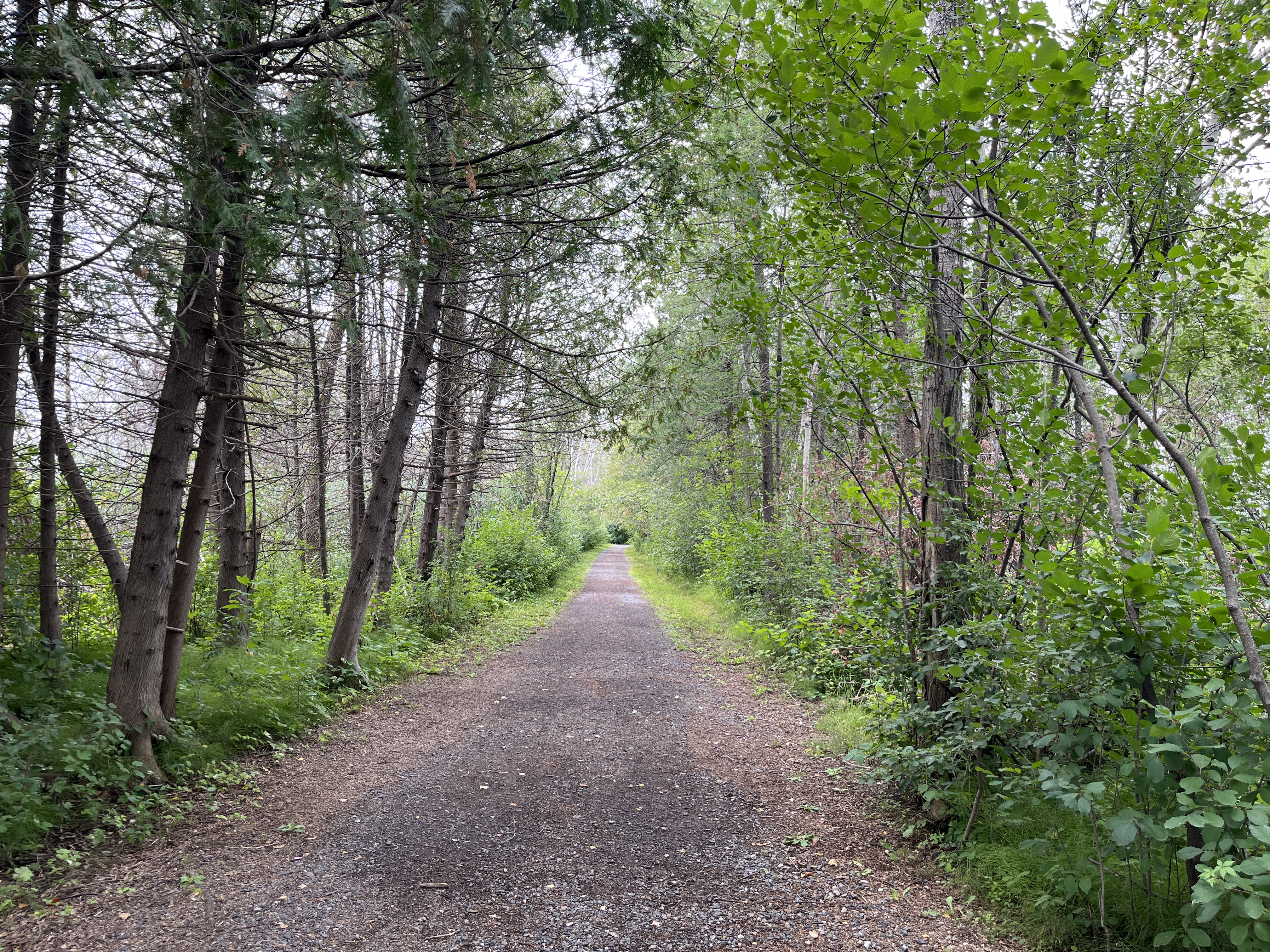
There is a wide trail that leads away from the parking lot and this set of trails would be considered easy to moderate in difficulty. There is little change in elevation and no rough ground to be covered.
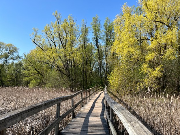
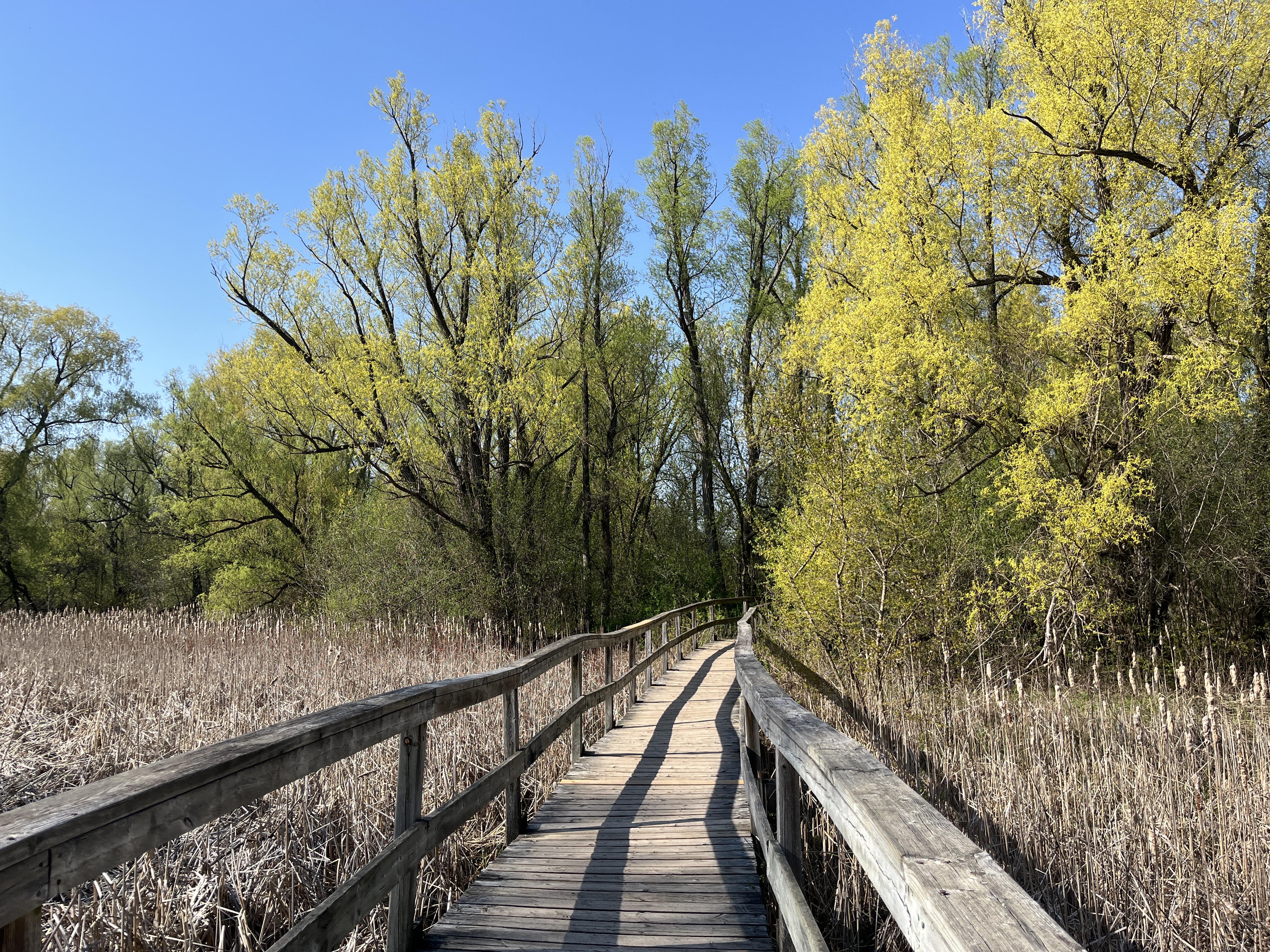
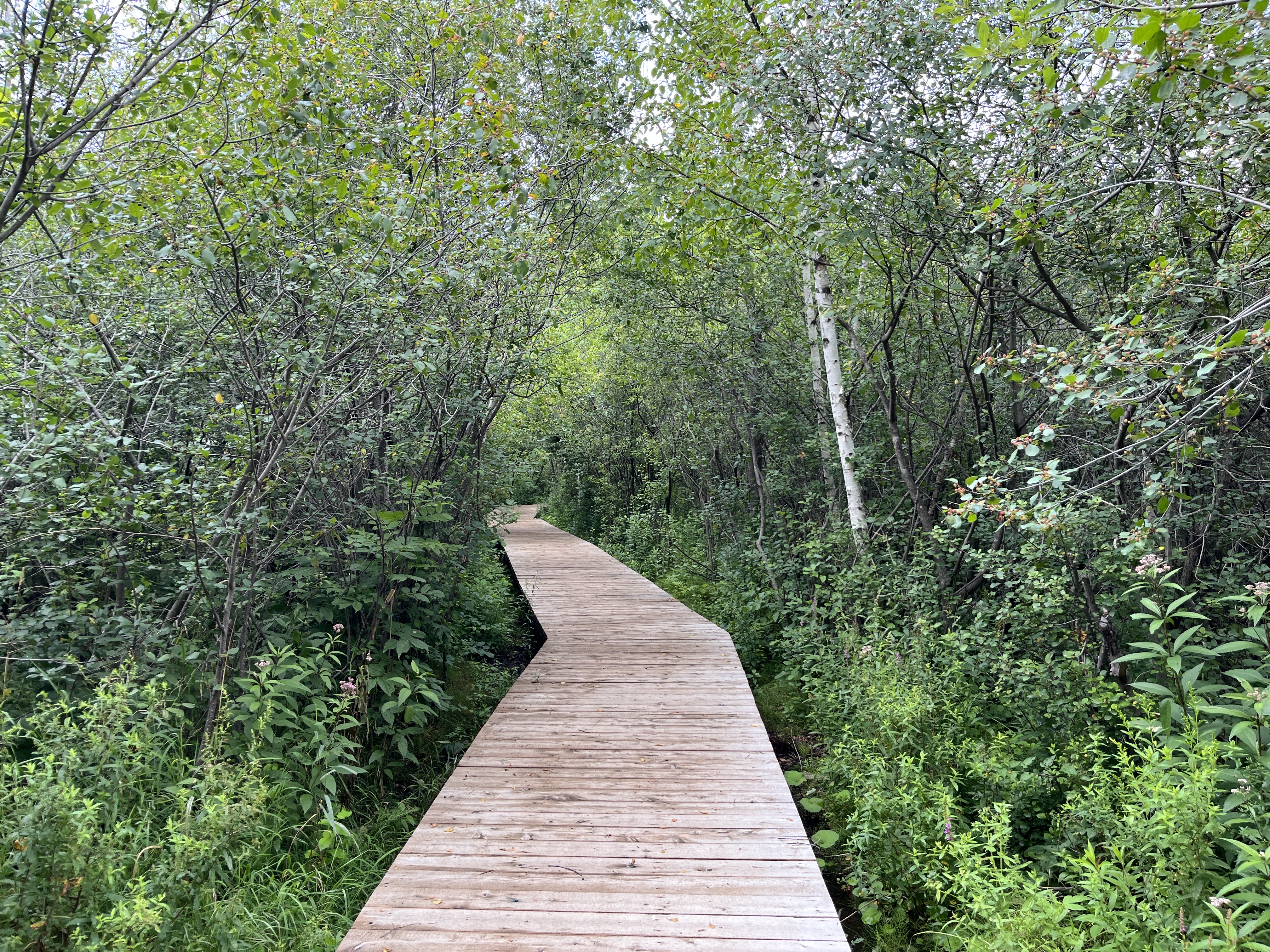
There are a few swampy sections that have been made accessible through the addition of some boardwalks.
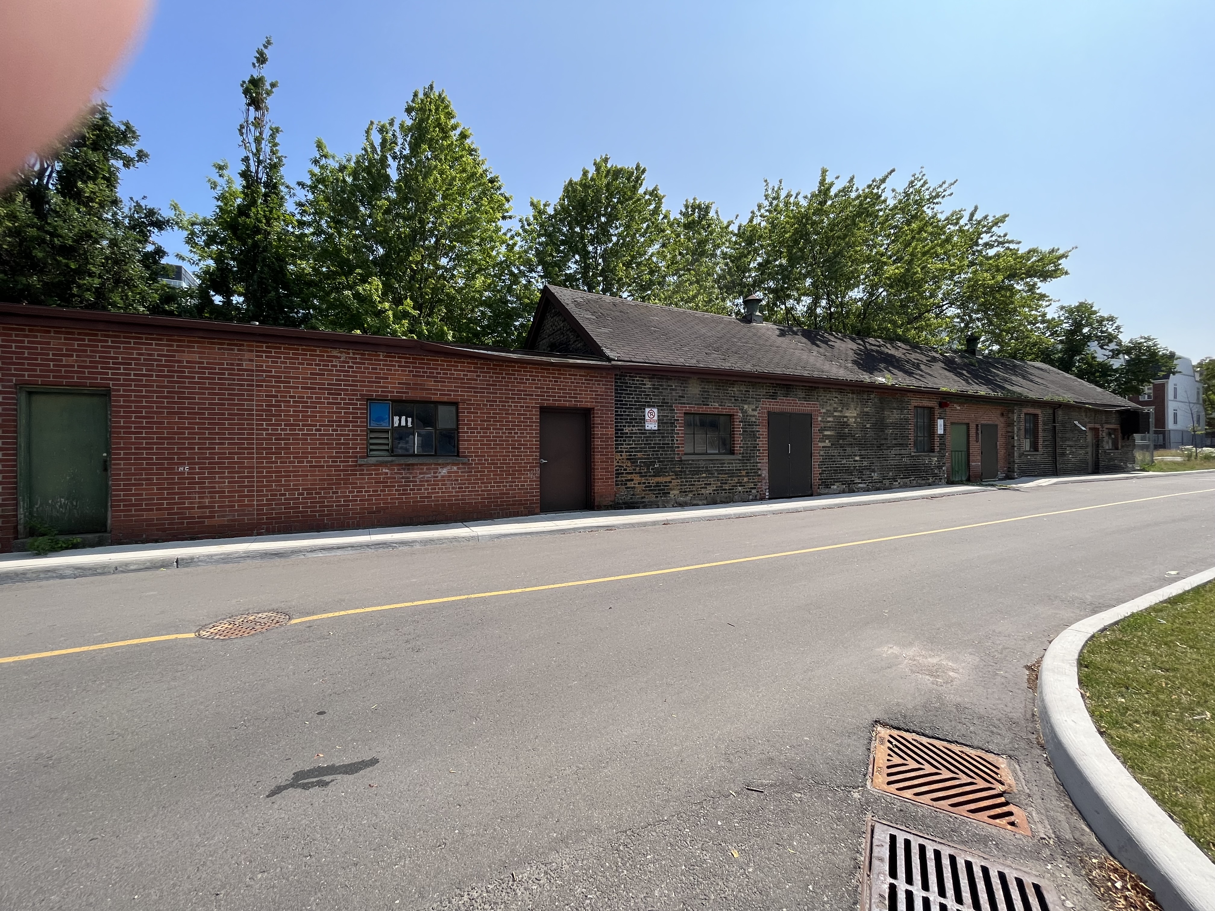
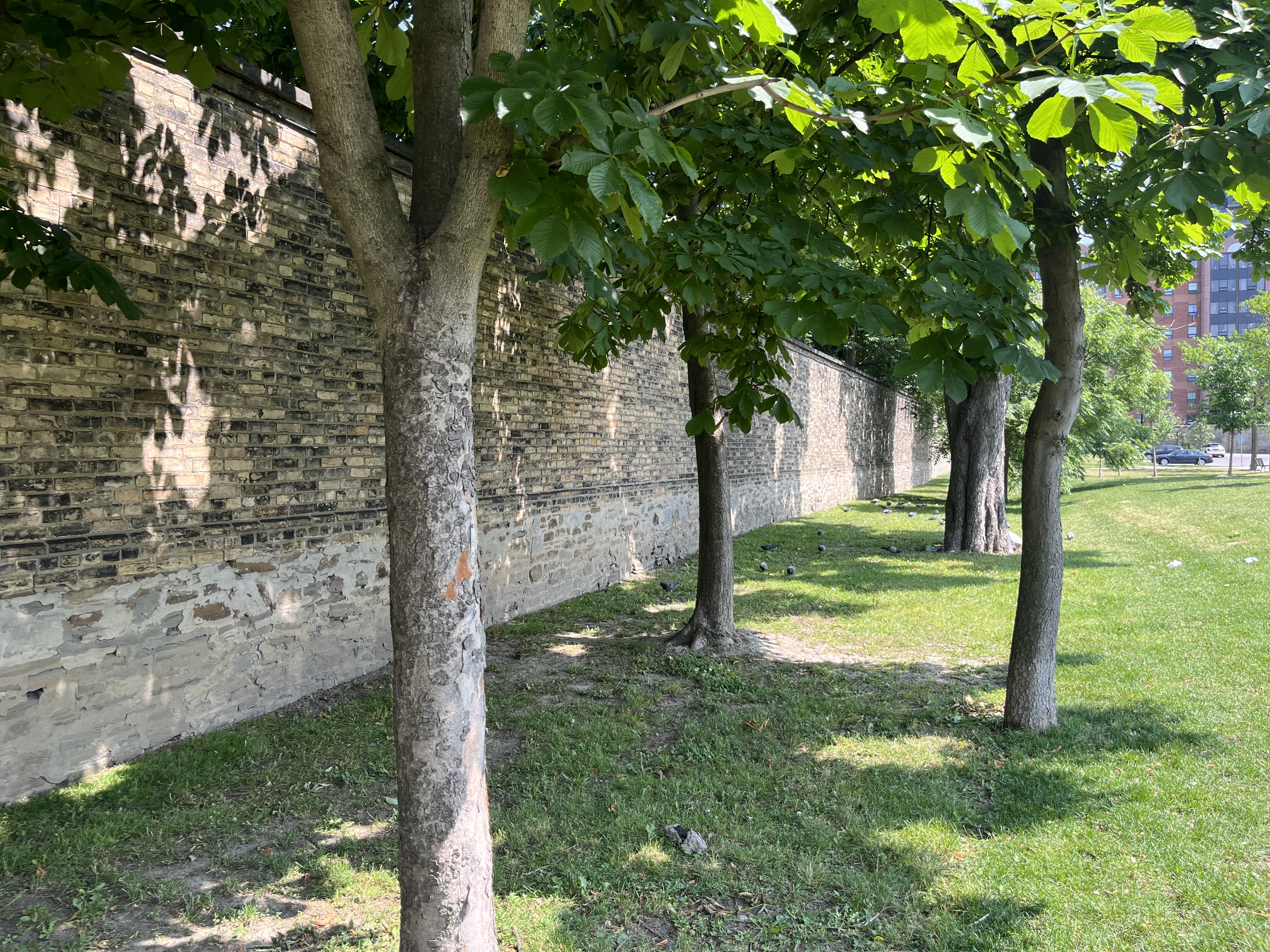
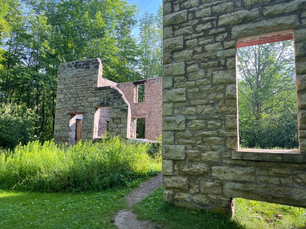
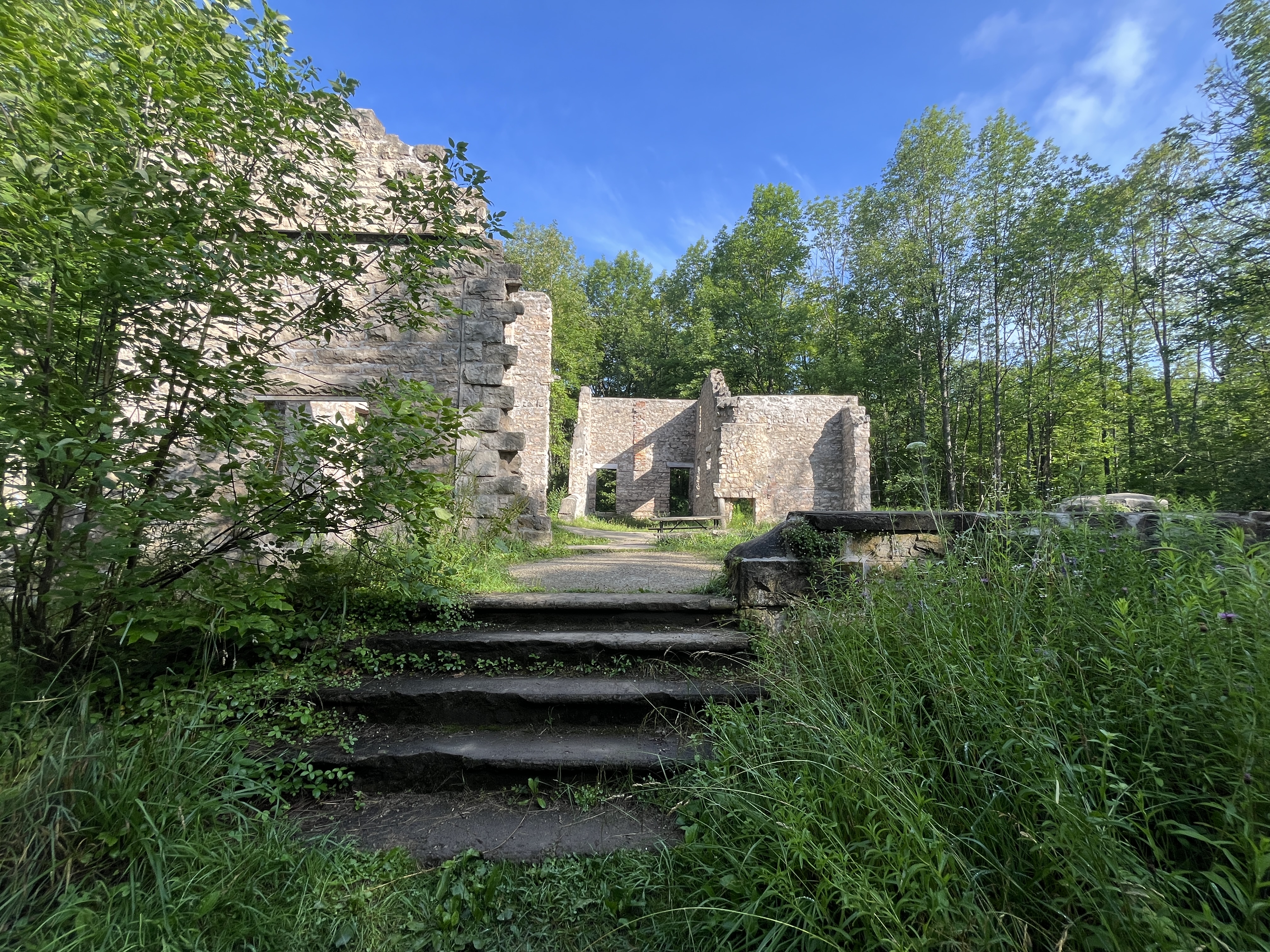
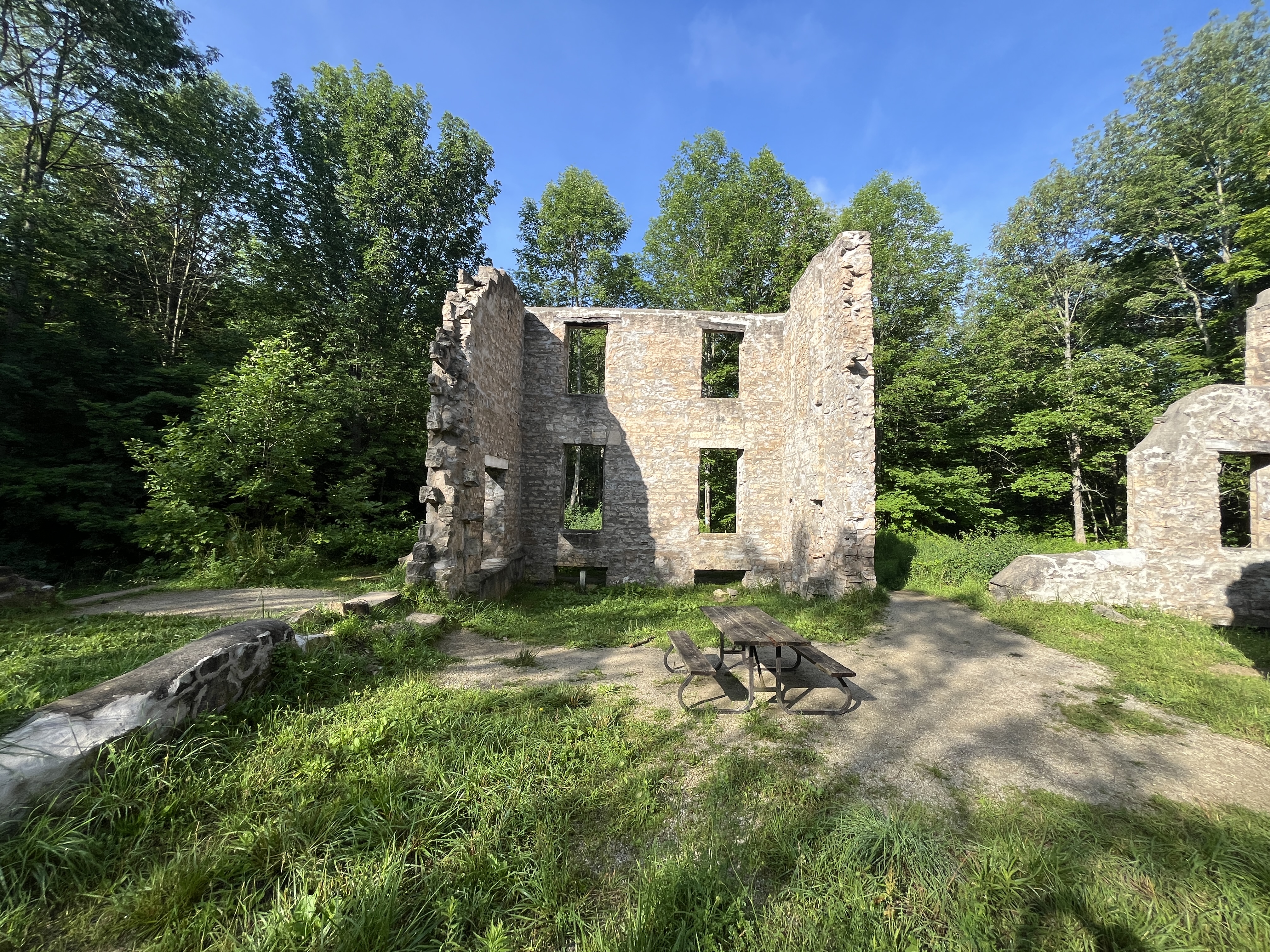
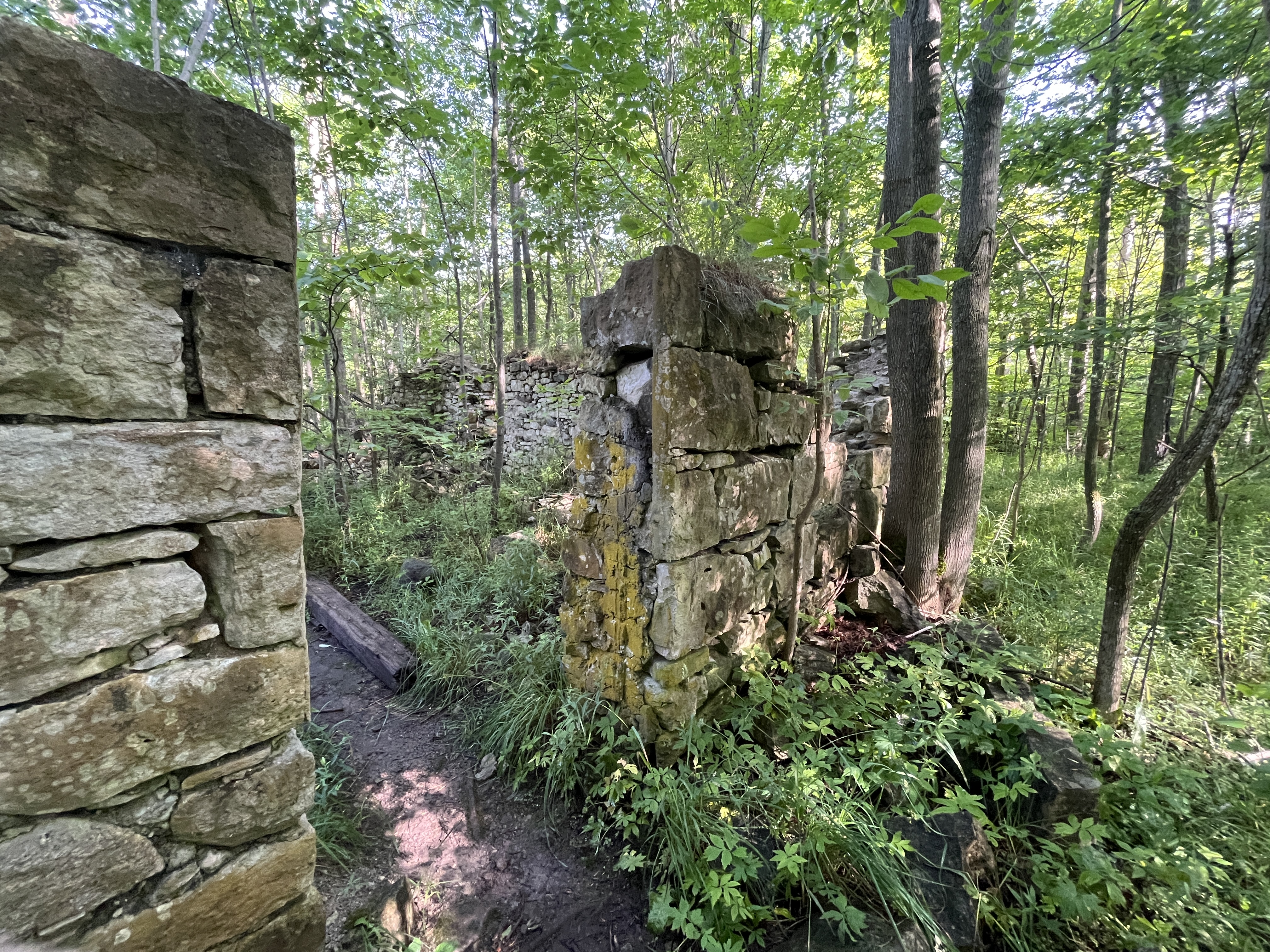
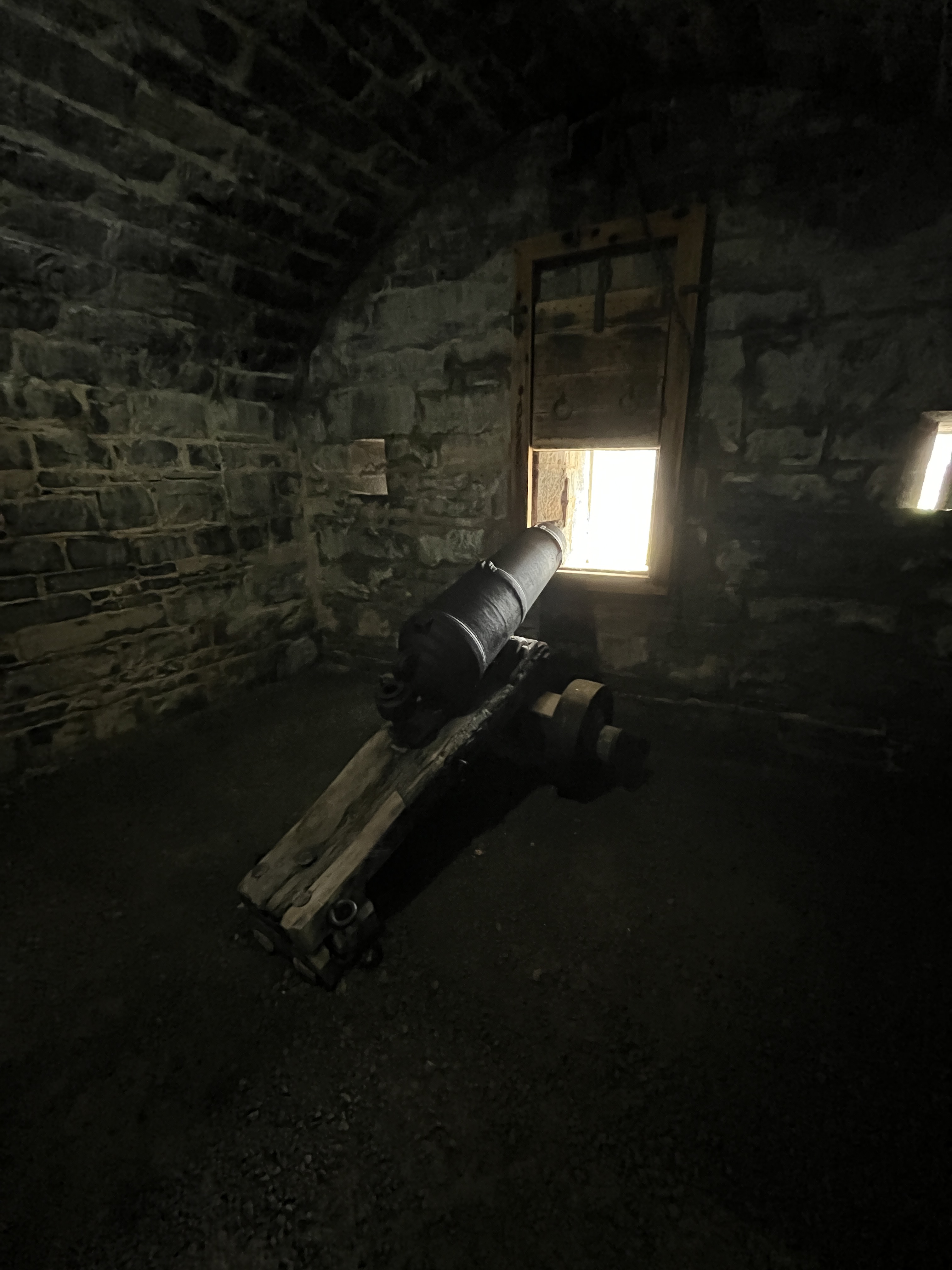
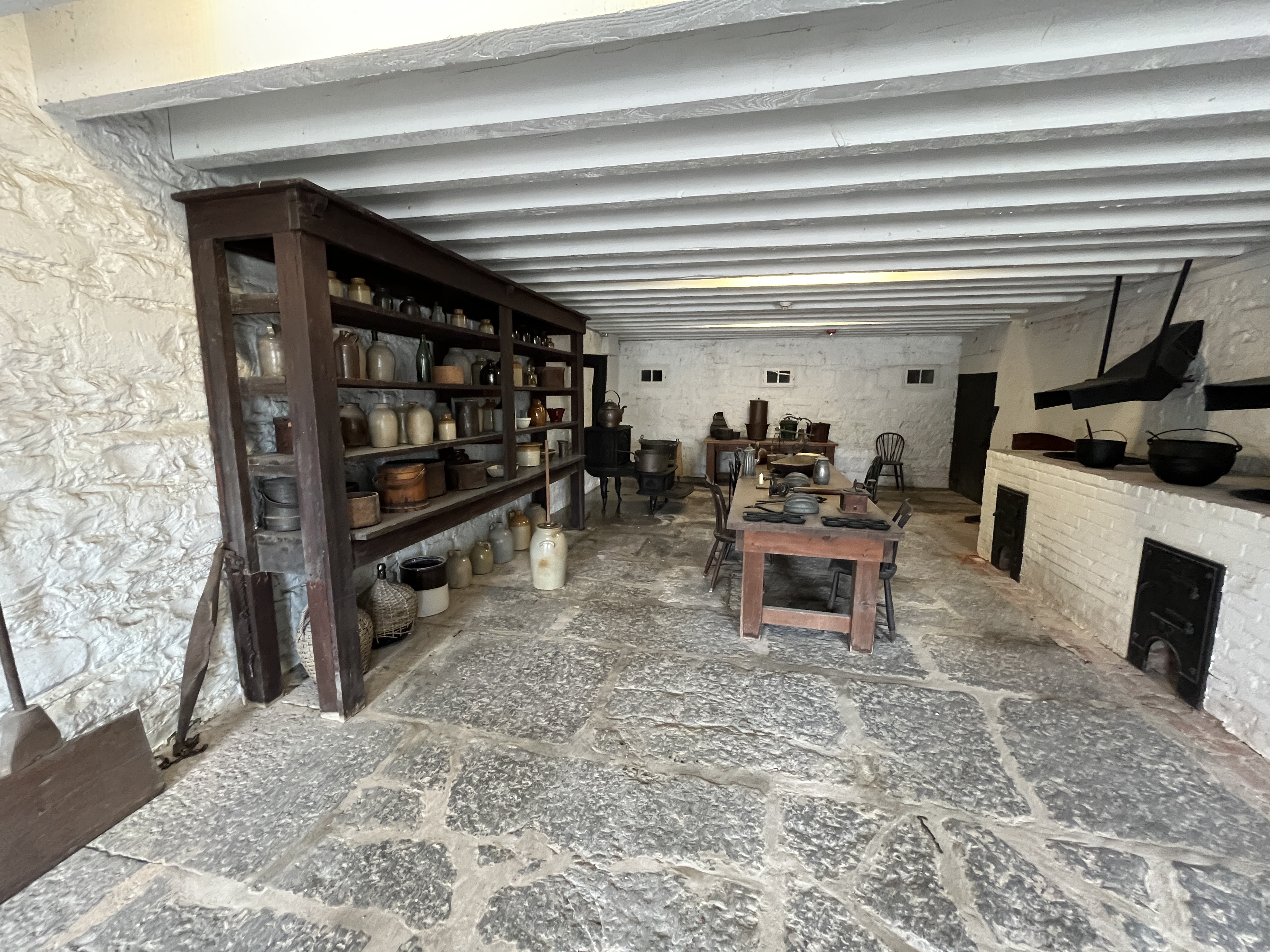
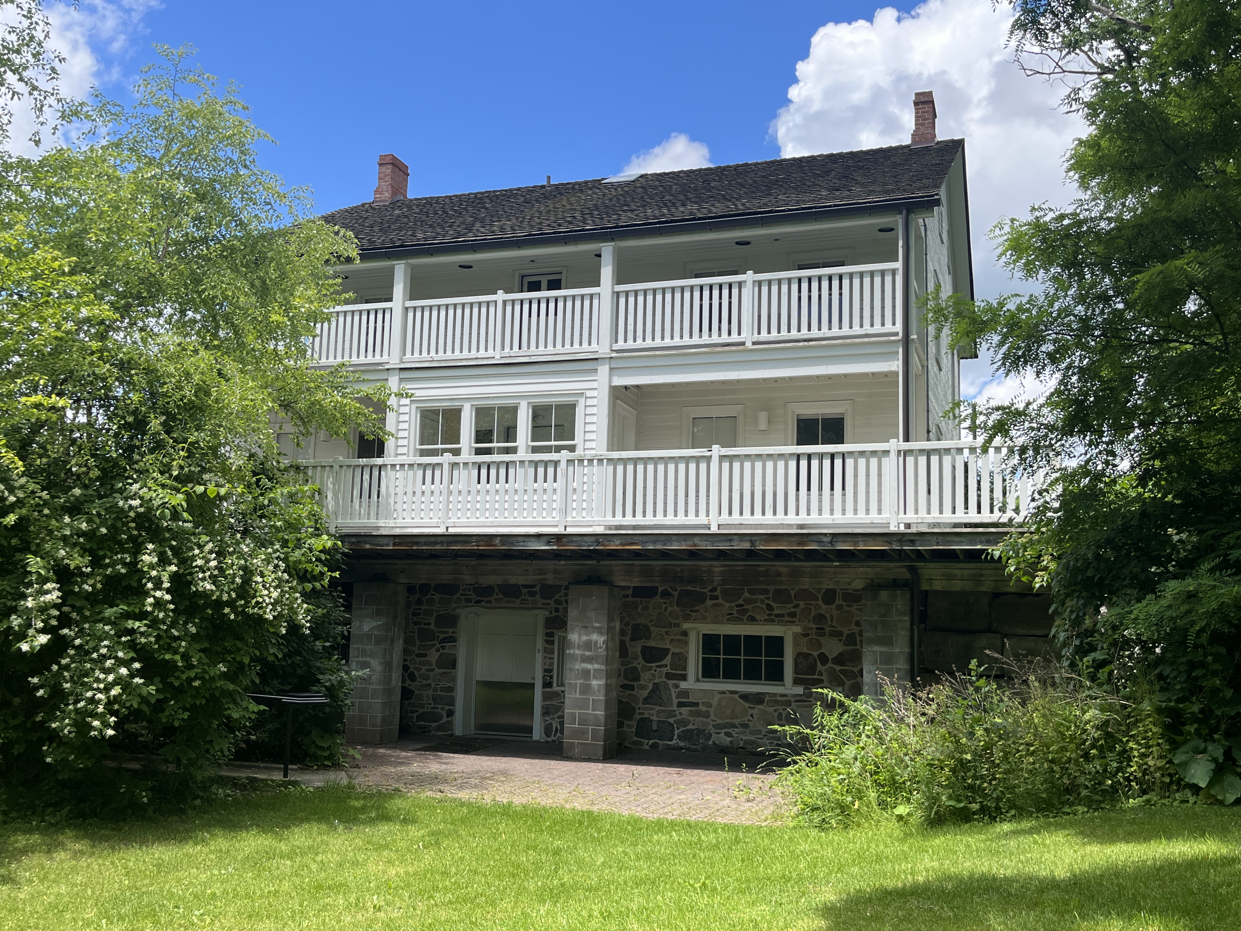
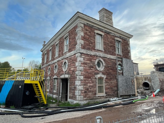
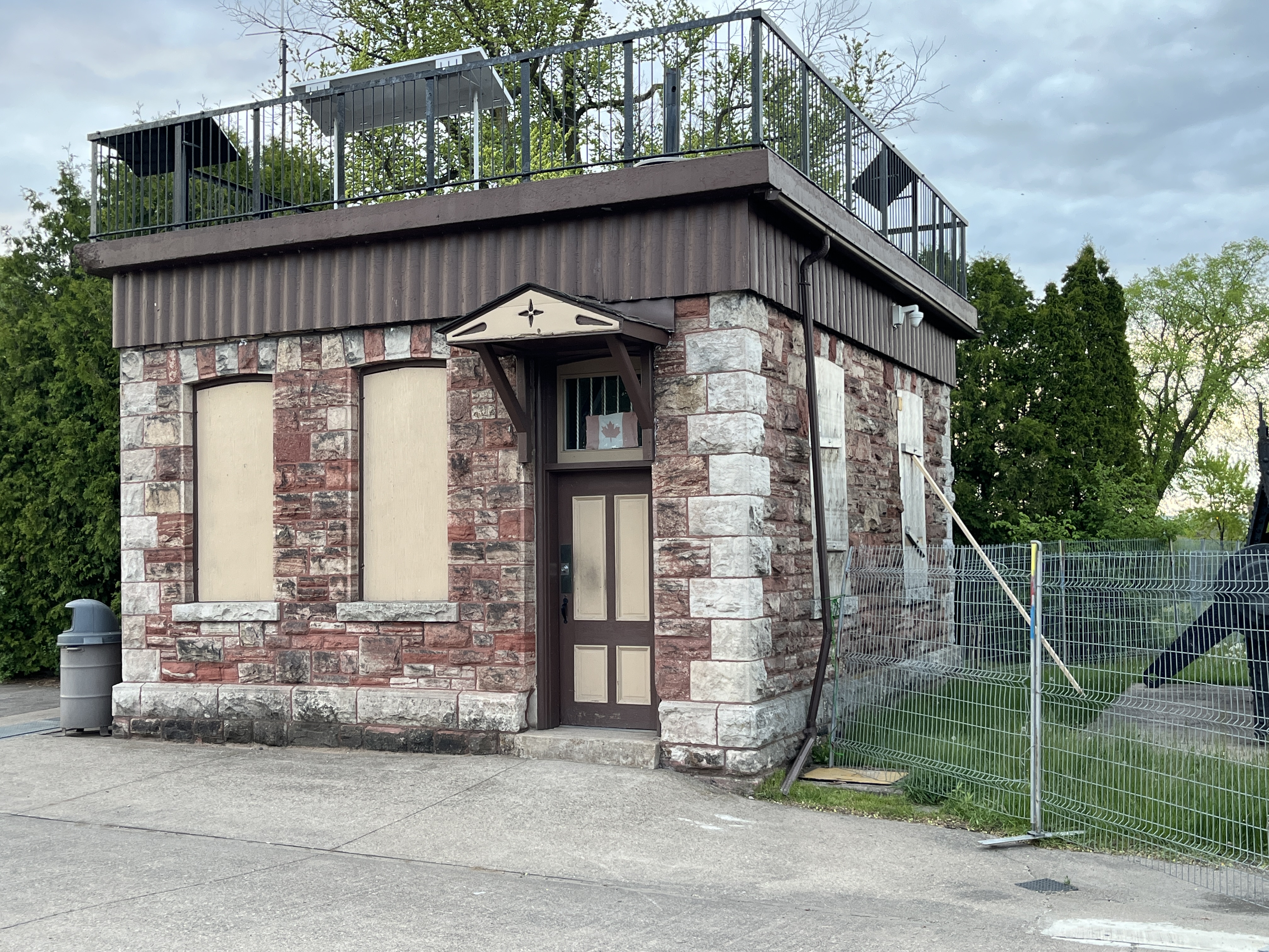
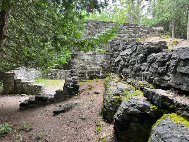
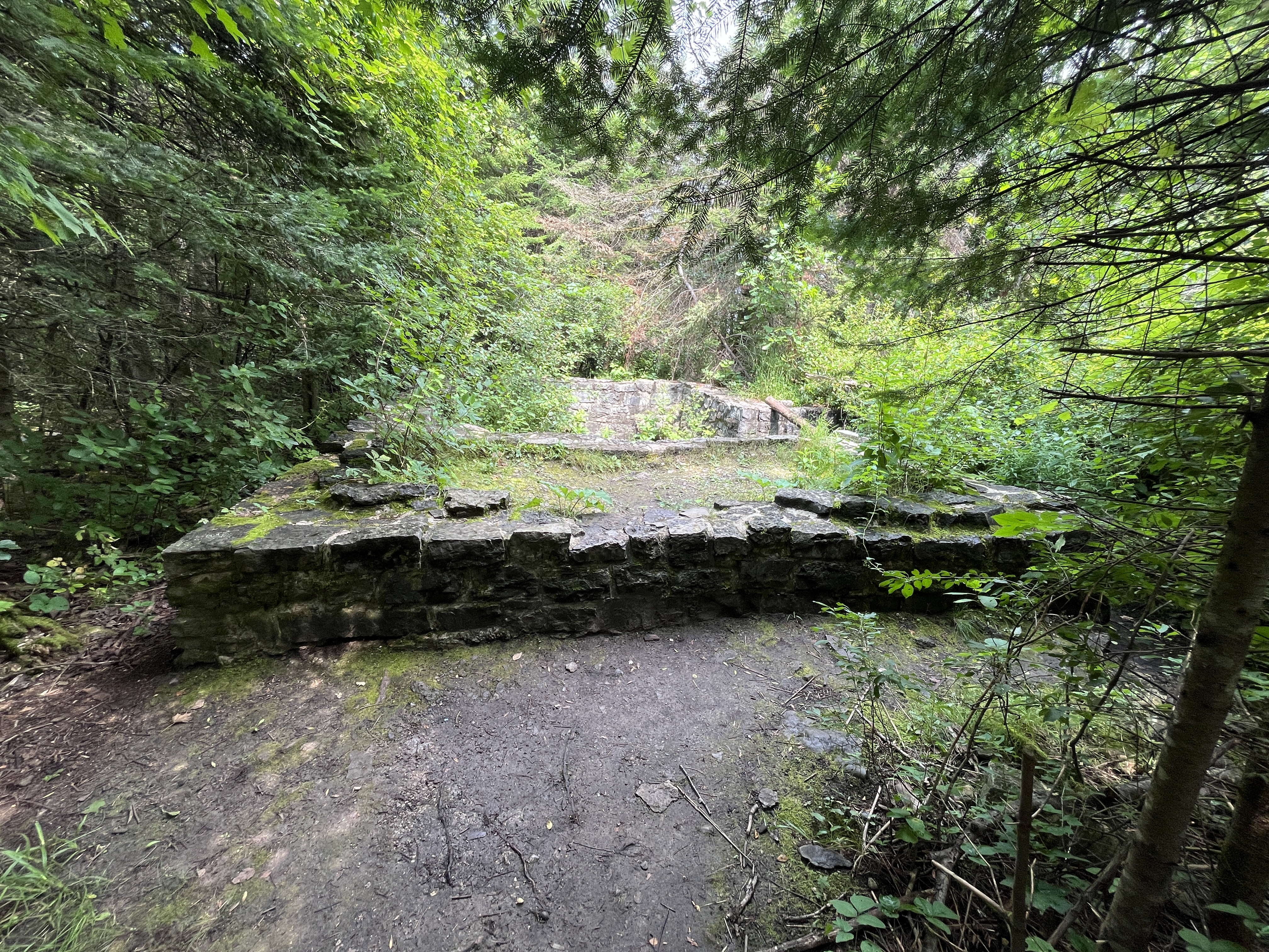
After a short hike you will come to the ruins of the Flood Lime Kiln. The former industrial site was comprised of several buildings. There were five buildings that surrounded the circular kiln. There was also a separate building where the finished lime was stored before being taken to market. An additional building was the powder magazine where the black powder was stored that was used to blast the limestone that would be made into the lime. The first set of foundations that you will see are those of the powder magazine.
Francis Flood built this lime kiln in the late 1800s and operated it until around 1906. The lime was used to make mortar to chink log houses as well as to make whitewash, plaster and many other household products. By the early 1900s larger industrial kilns were being run and Portland cement began to replace lime as a building material. Most of these small kiln operators went out of business. The Flood kiln was abandoned and left to deteriorate.
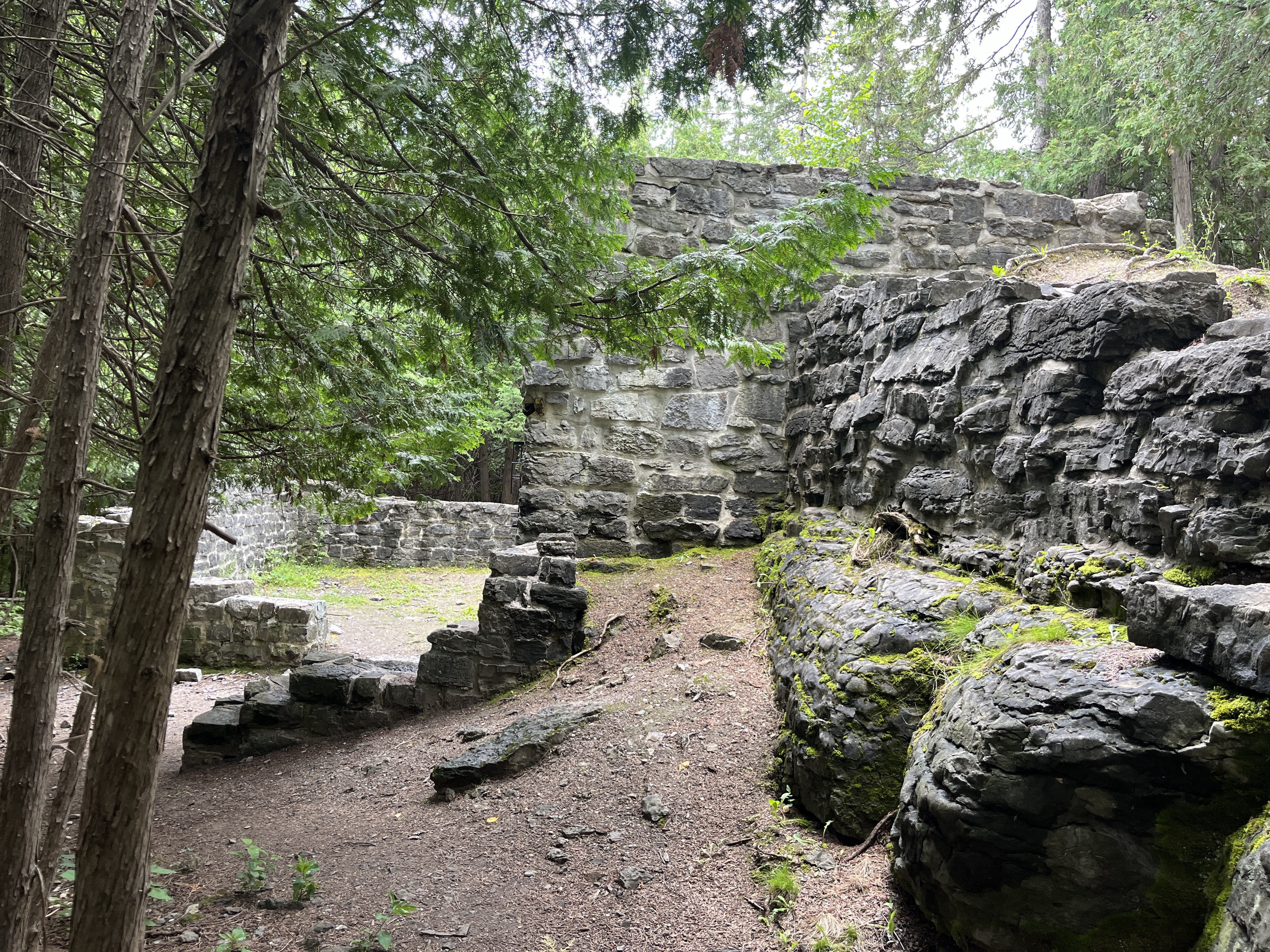
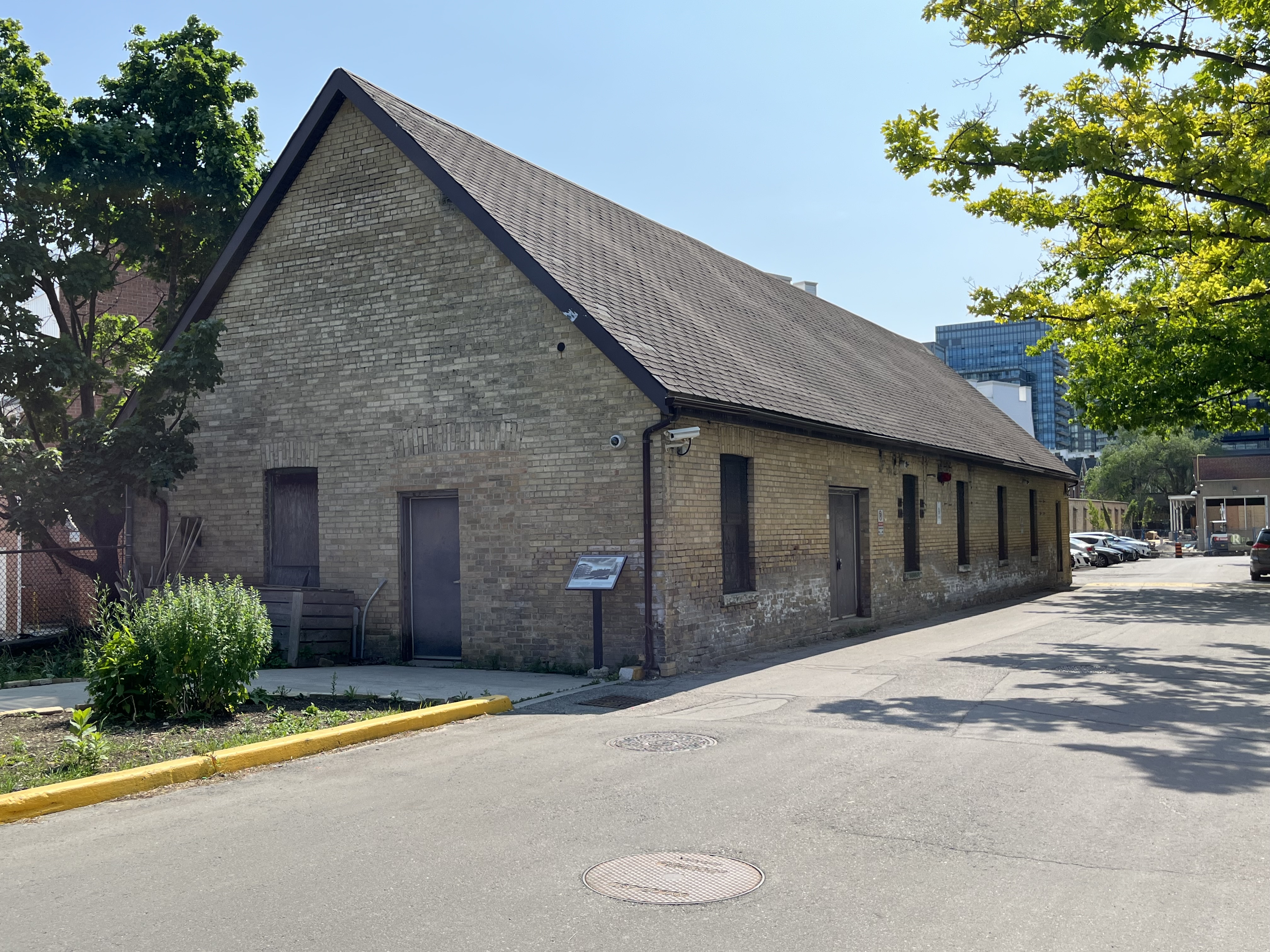
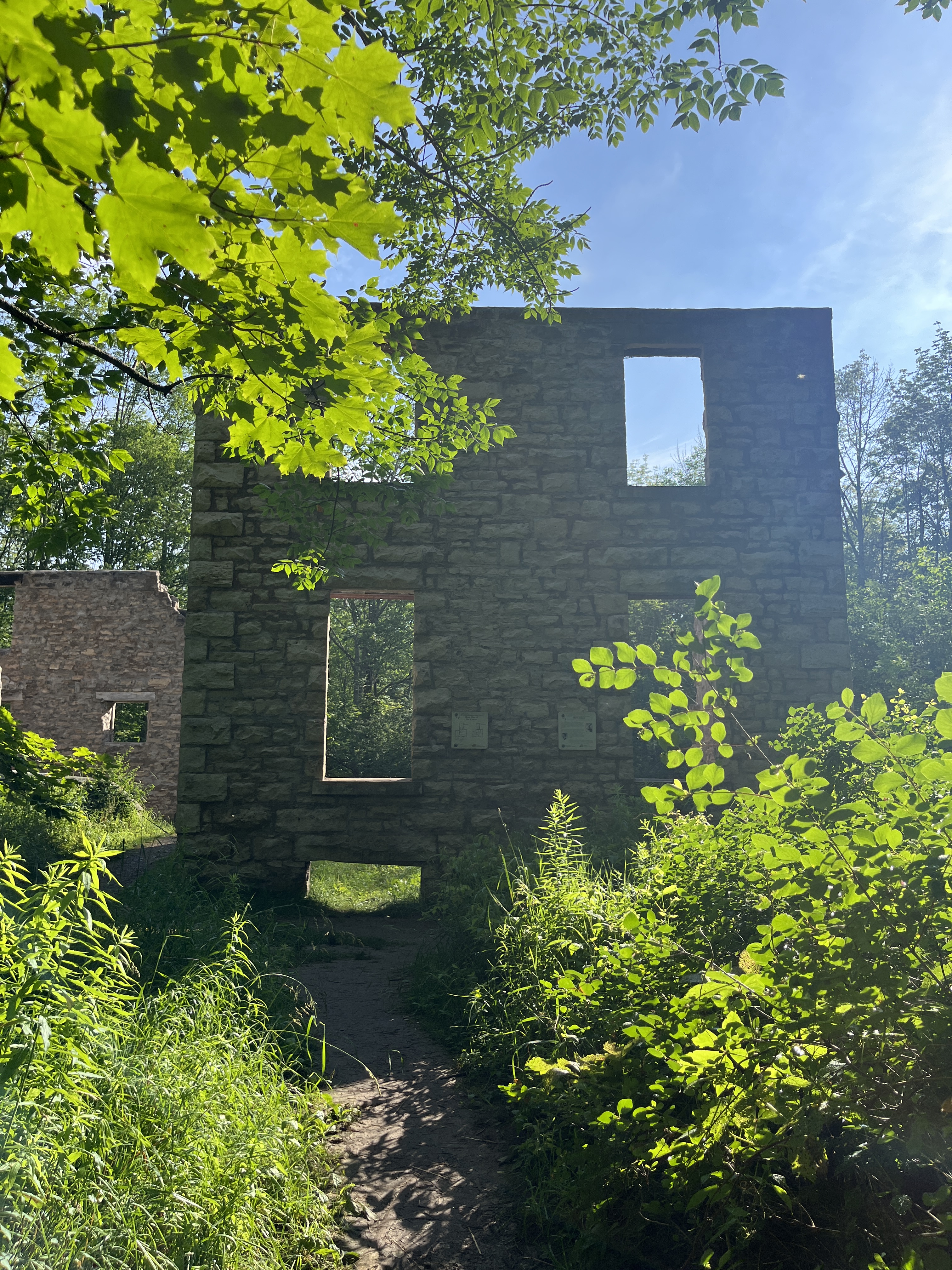
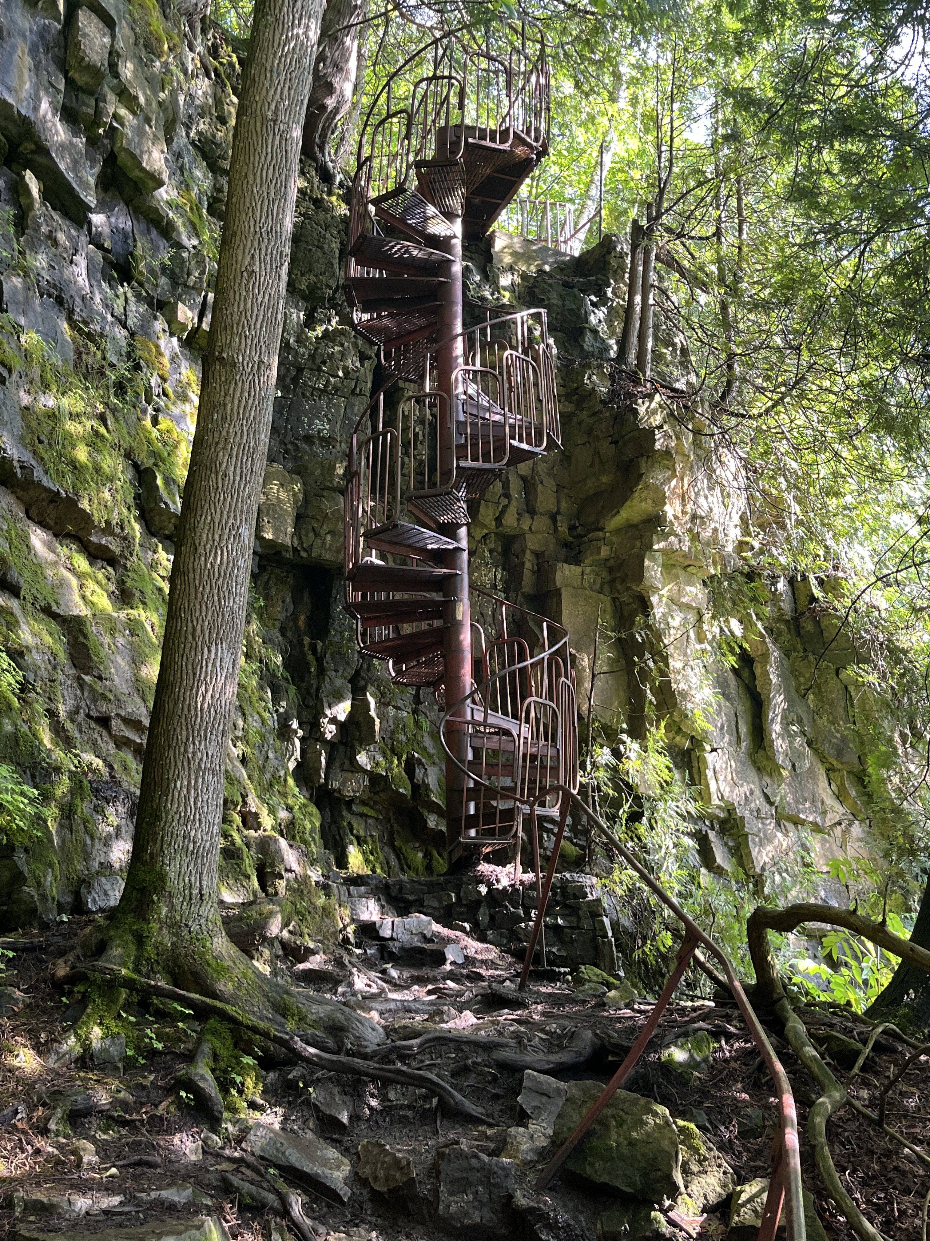
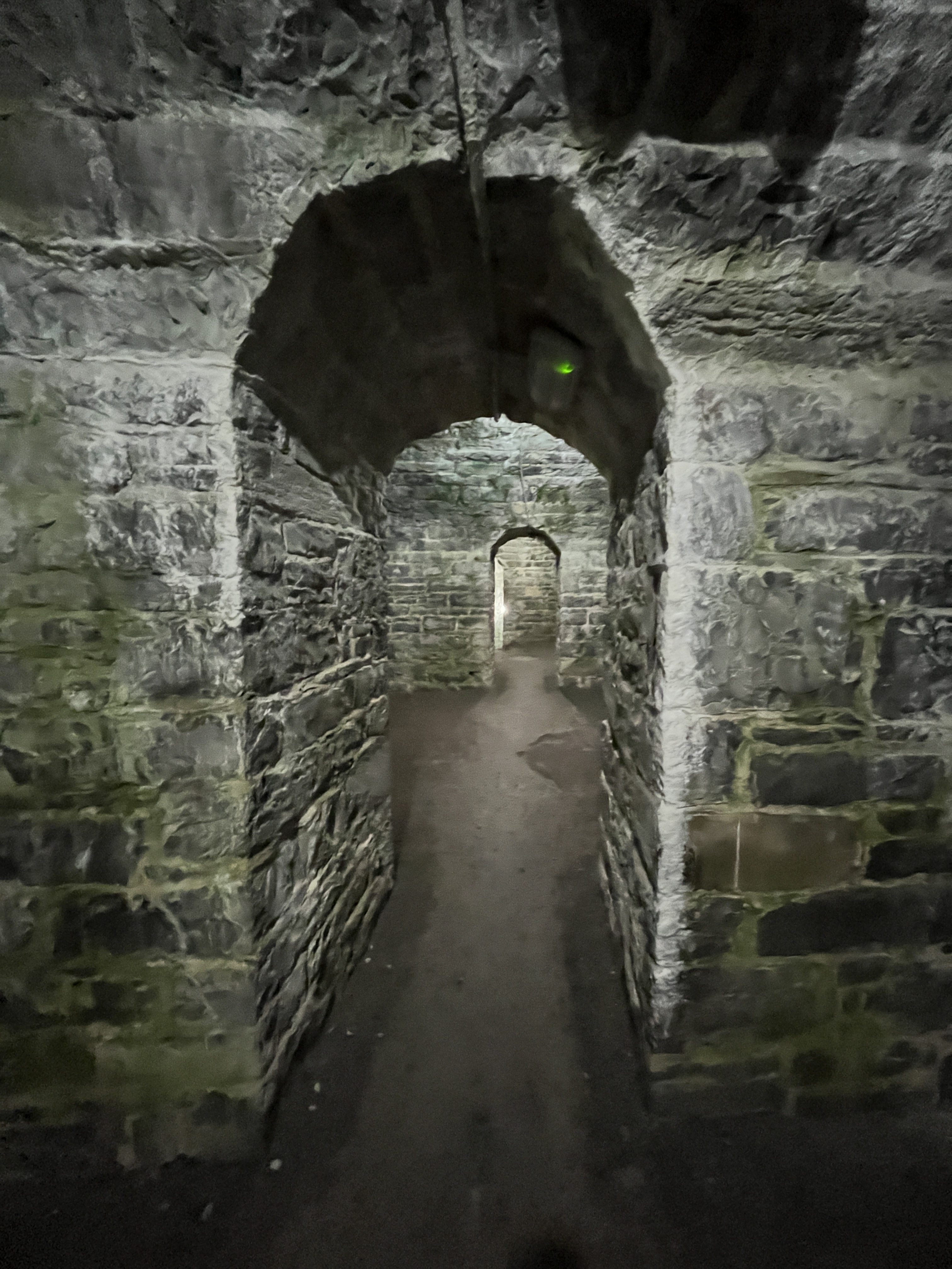
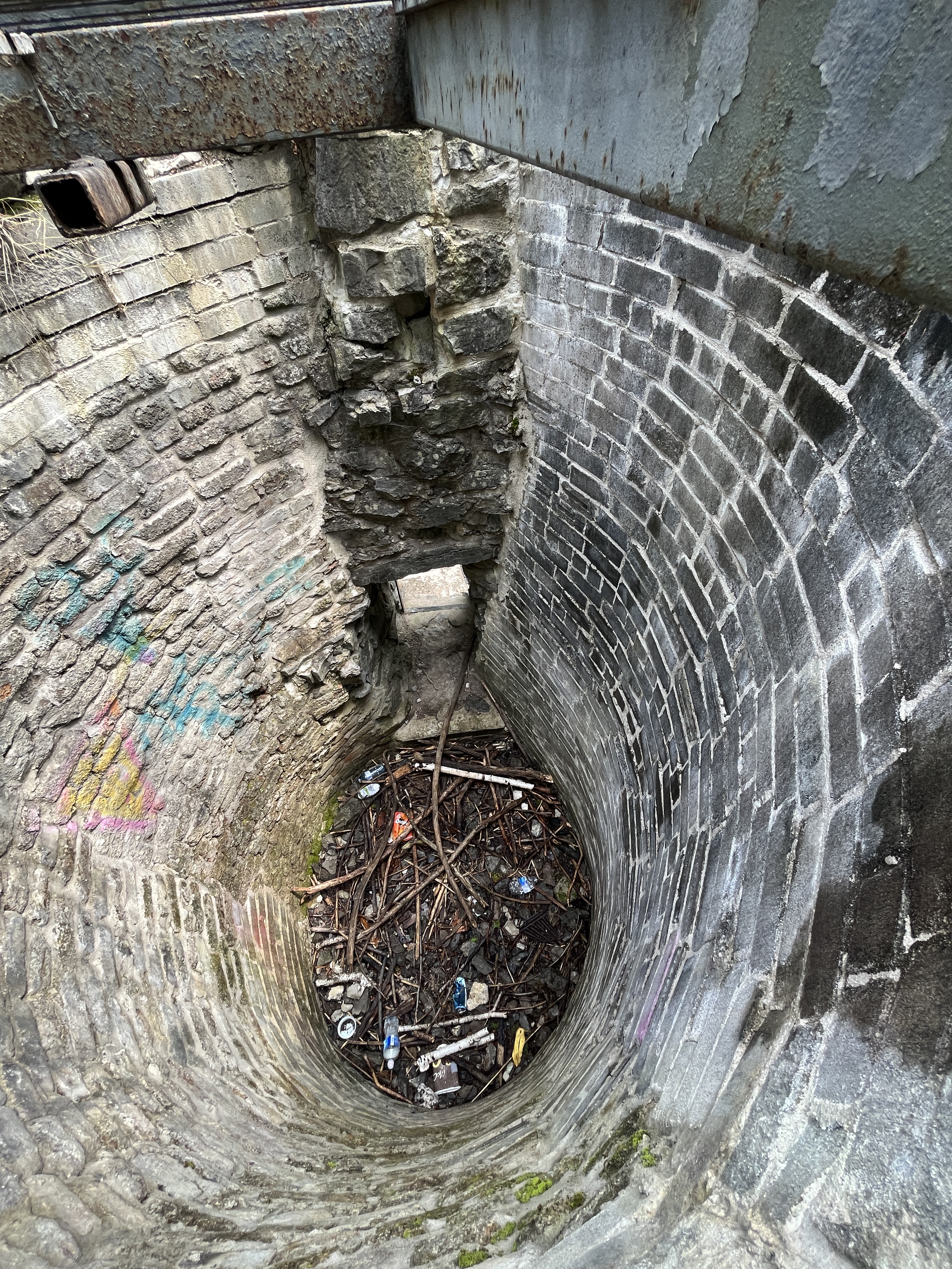
The Flood Kiln was known as a pot kiln or a set kiln. Limestone and wood were loaded into the kiln and left to burn for several days. The lime and ash were then removed through this opening and stored to be taken to market. The Flood kiln was rediscovered in the 1970s and eventually restored to prevent further deterioration in 1999. Today it has several information boards around the site to educate those who come to explore.
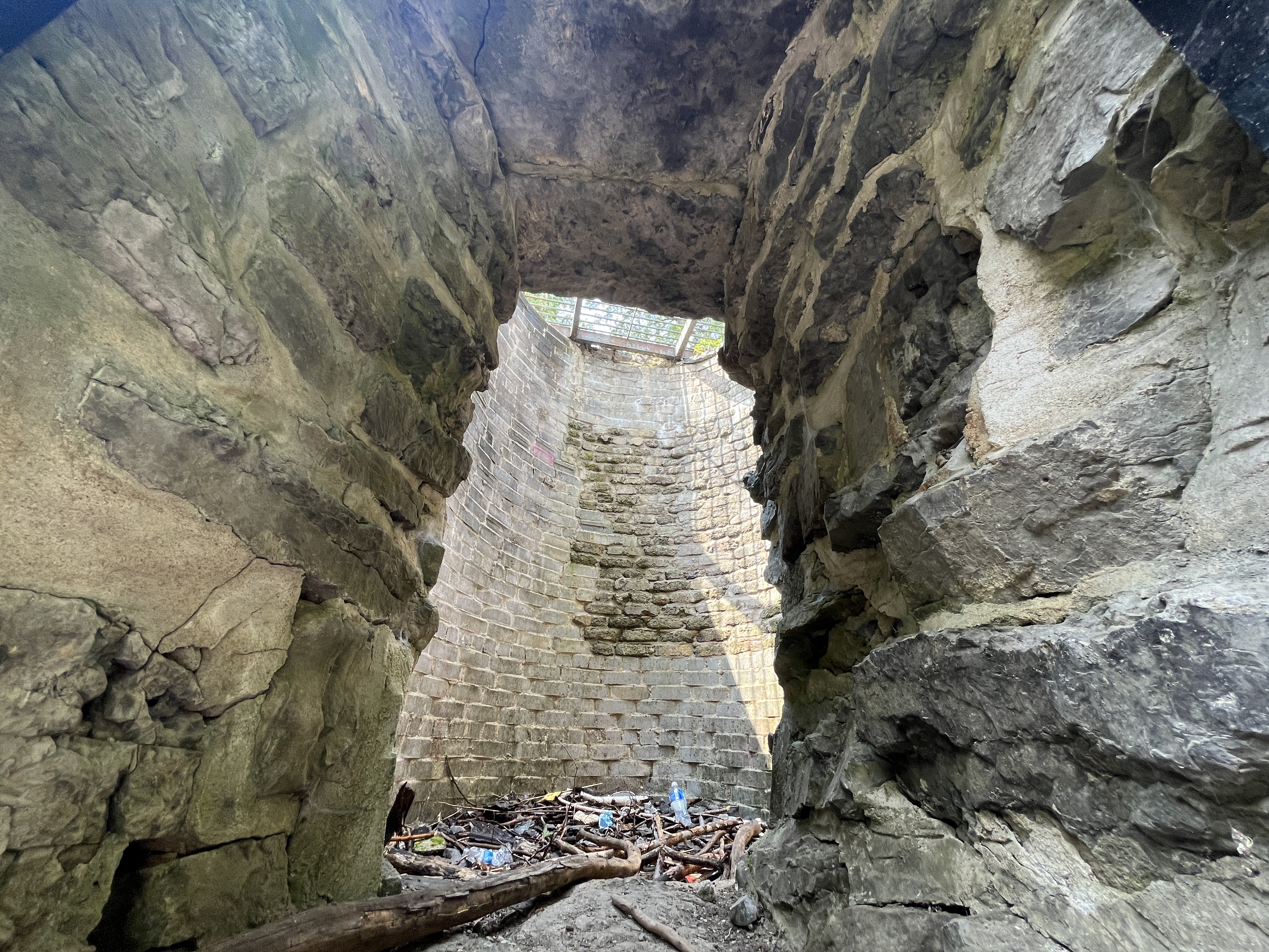
The view from the top of the kiln looking down inside.
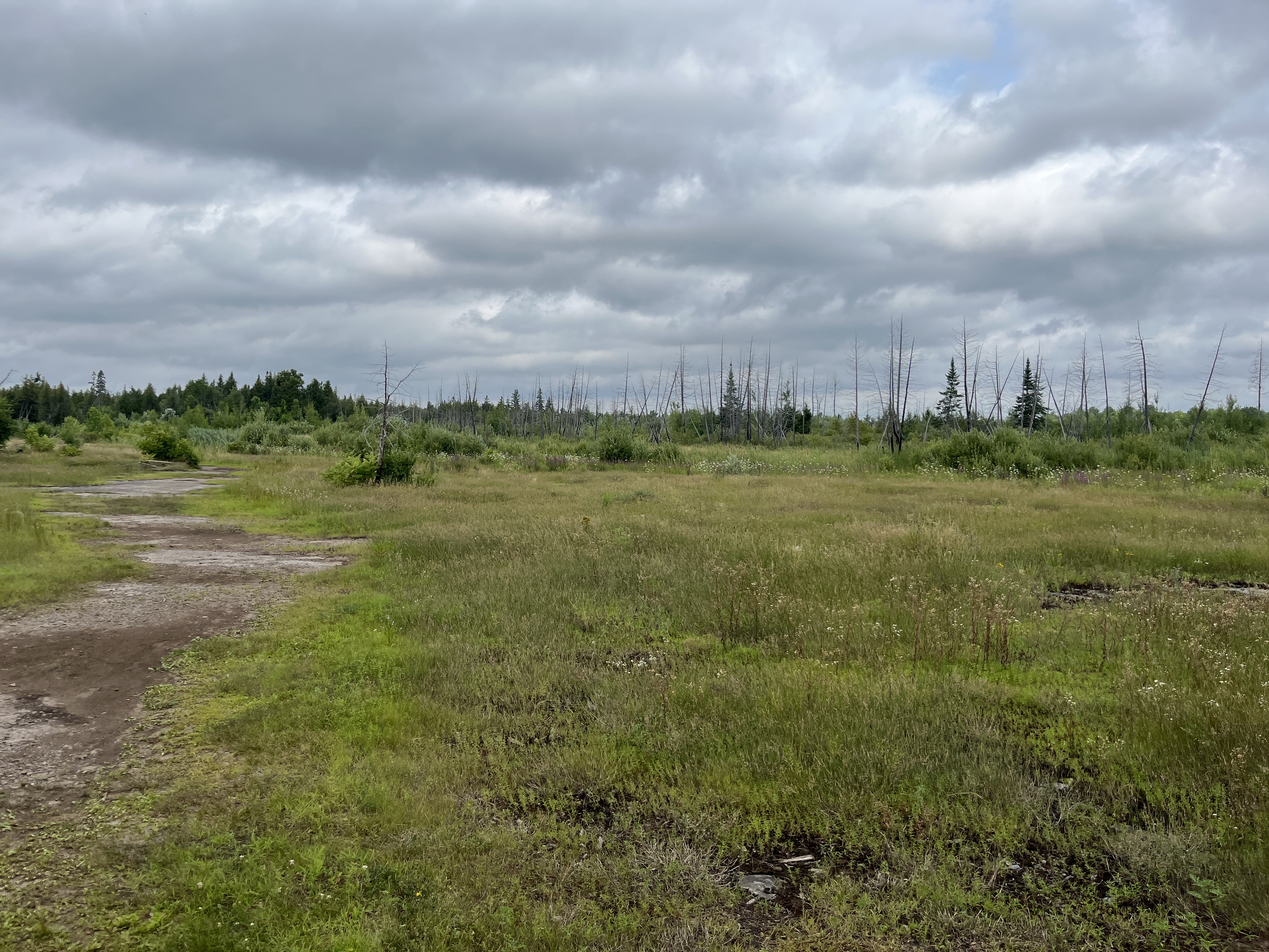
The trail continues past the kiln and leads to an area that is largely devoid of trees. This is the result of a forest fire that spread through the area on July 12, 2012. Forest fires in the greenbelt are dealt with quickly because of the homes and schools that are adjacent to the area. Ottawa Fire Services sent 55 fire fighters, 15 vehicles and several helicopters to try to get the fire under control. It took two weeks to get it extinguished and one of the tools that they used was known as a firebreak. This is a wide stretch cut through the forest that the fire can’t cross because it has no fuel. This limits the spread of the fire. Portions of this firebreak have been converted into the trail system that people enjoy today.
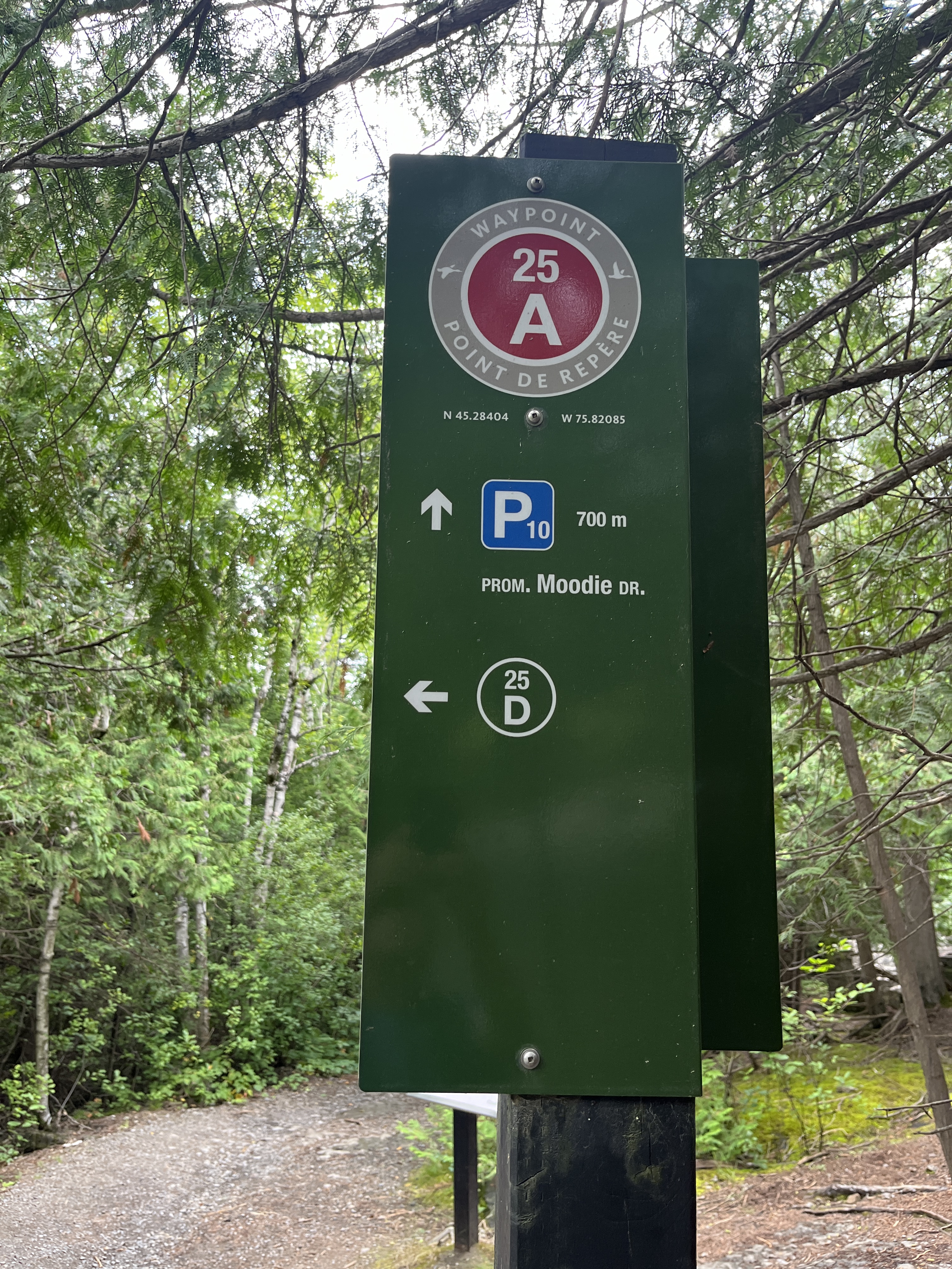
This trail system is very well marked with coloured blazes on the trees along the way. There’s also a series of waypoints that are marked with metal signs pointing out the various trail options. There’s also a map on each post. The waypoint below is at the kiln site.
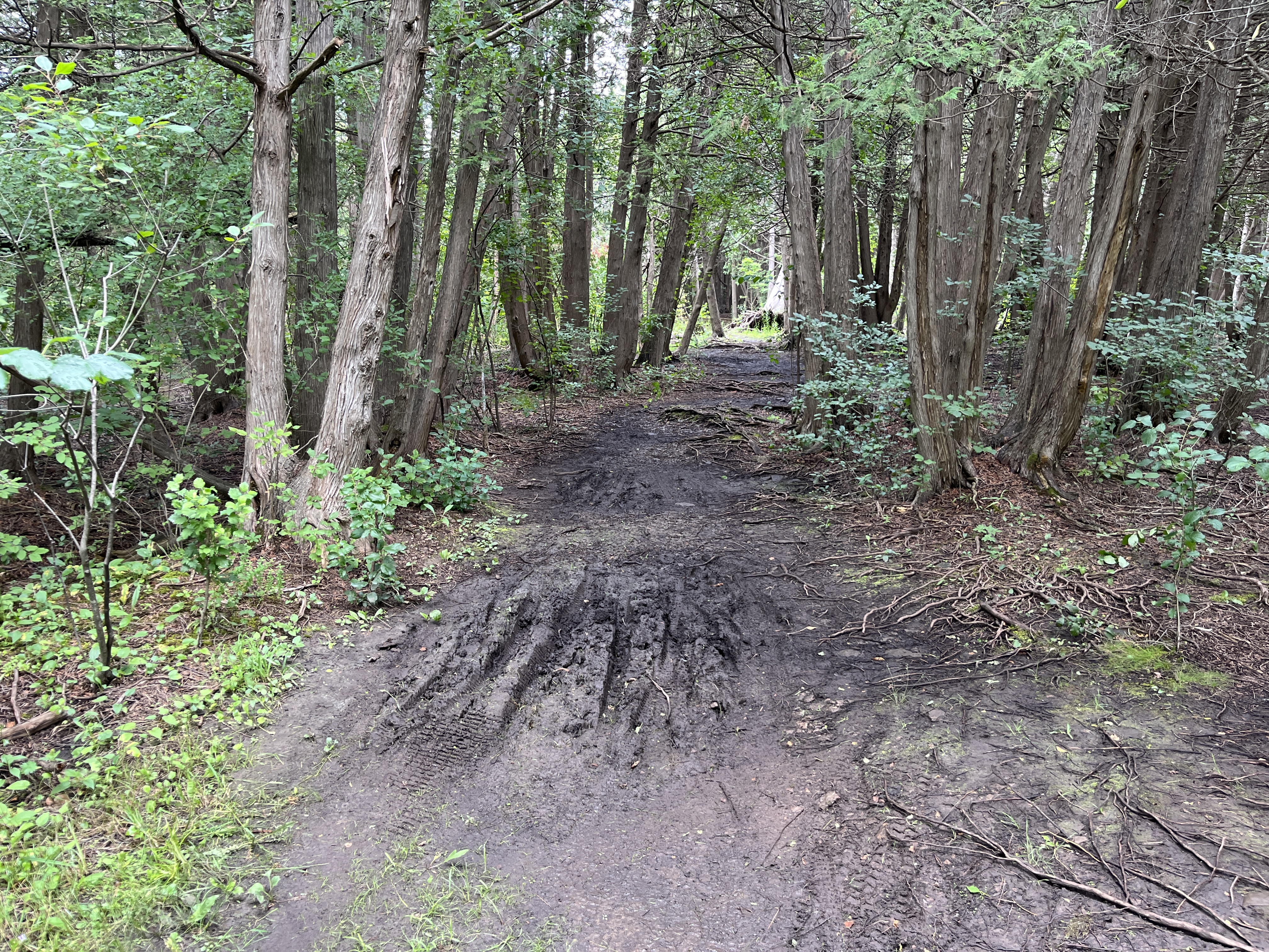
I saw a couple of chipmunks and several birds but not a lot of other wildlife, unless you consider deer flies and mosquitoes to be wildlife. In which case there was more than enough. On reading the reviews for the trail two comments kept coming up. “There’s a lot of bugs and the trail is very muddy”. I didn’t find the bugs to be too bad and never had to stop to apply bug spray. The trails are quite well maintained and there isn’t any mud on the main trails in spite of the heavy rain the night before. If you find muddy trails it’s a sign that you are no longer on a main trail. The secondary trails are sometimes muddy but also not marked with trail markers or waypoints.
This trail has a small but free parking lot at the trailhead. There are plenty of little parking lots at each access point to the extensive trail system around Ottawa.
Related stories featuring kilns: Limehouse, Balls Falls, Kelso’s Kilns, Devils Pulpit.
Google Maps Link: Lime Kiln Trail
Like us at http://www.facebook.com/hikingthegta
Follow us at http://www.hikingthegta.com