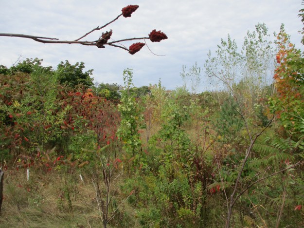
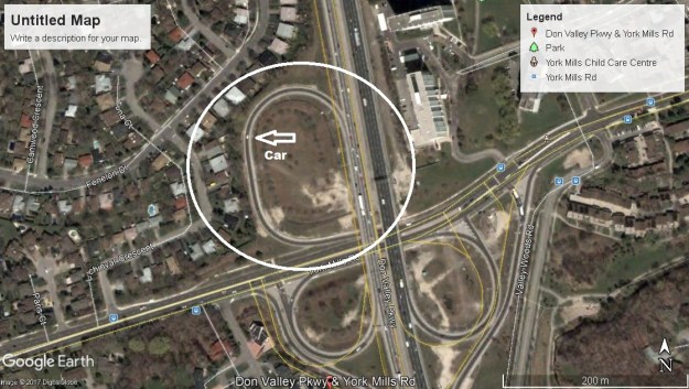
Saturday, October 14, 2017
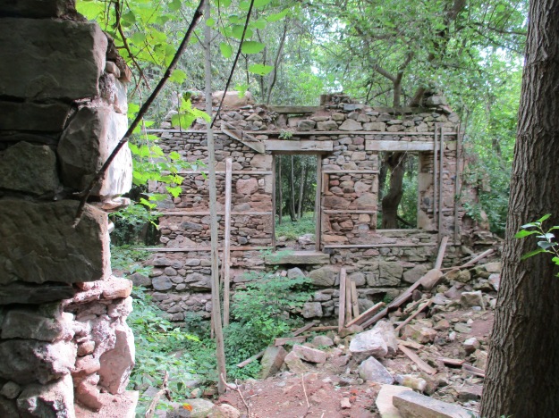
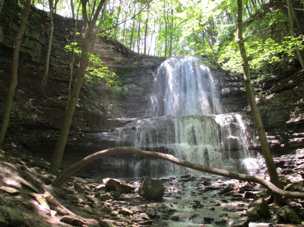
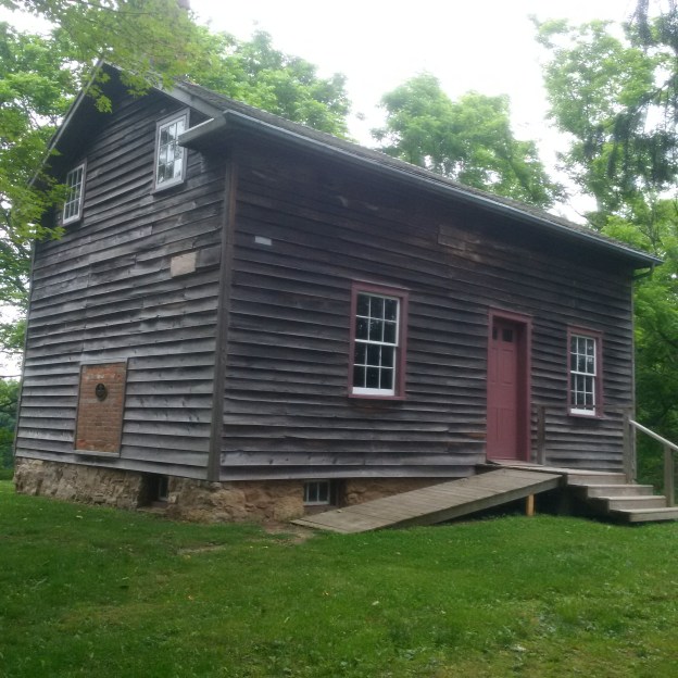
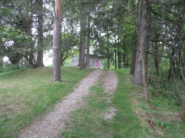
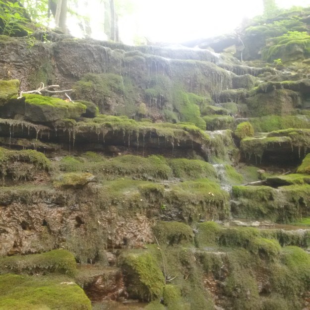
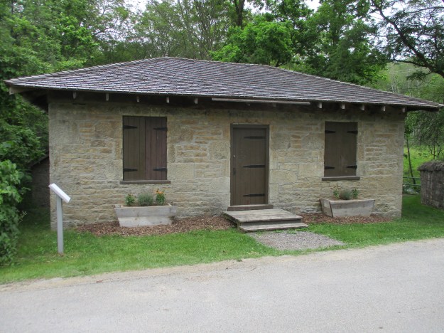
Legends of Devil’s Cave abound, including one that claims that William Lyon MacKenzie hid in the cave when his rebellion fell apart in 1837. The cave is said to have an artesian well inside that creates a pool known as the Devil’s Pool. It is located along Bronte Creek just north of the QEW. The QEW and Bronte Road is the site of the former community of Merton The last of the buildings for the town, including the 1857 school were removed to make way for the highway. The Devil’s Cave has been closed and is not easily accessible but we decided to try and find it along with having a general exploration of the area looking for any evidence of the former community. To start, we decided to try and make our way along Bronte Creek from a free parking lot in Petro Canada Park.
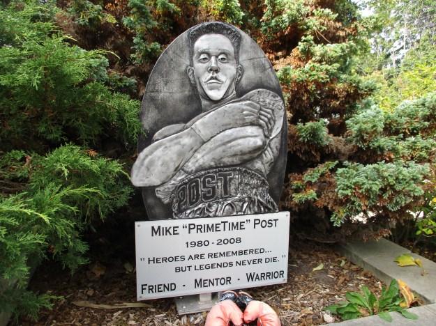
Mike “Prime Time” Post was an Oakville native and lightweight boxer. Mike had a promising career when, tragically, he was found dead at the age of 28. A memorial was erected in 2009 on the one-year anniversary of his untimely death. It stands at the entrance to Petro Canada Park where Mike used to practice by running up and down the hill.
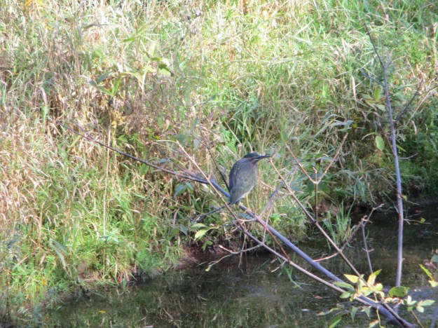
The Green Heron is one of the least common of all the heron species we have in Southern Ontario as we are near the northern extreme of its habitat. It is small and stands at just 17 inches. The neck is short and usually held tight against the body.
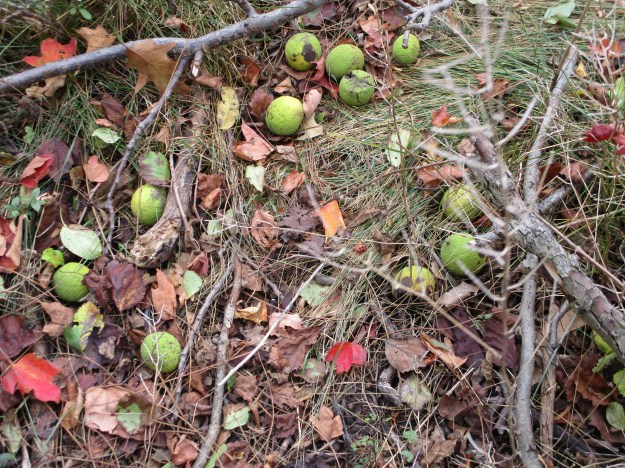
Black walnuts grow along the trail and are starting to drop off the trees. These walnuts can be eaten and are grown for food. The hull can be used for medicine to treat such ailments as syphilis and diphtheria.
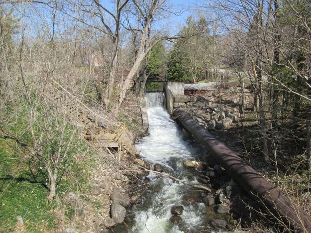
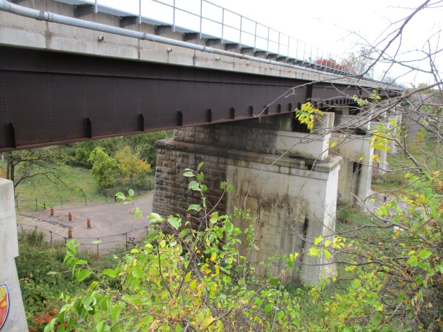
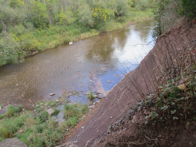
We crossed the tracks to see if there was a better way access to the bottom but found that the best place was right beside the bridge abutment where large boulders had been placed and we were able to climb down. Notice how the bridge has been expanded with the original section being made of cut limestone blocks while the newer part is made of poured concrete. The original line was known as the Hamilton and Toronto Branch of the Great Western Railway and was opened to traffic on December 3, 1855.
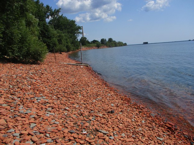
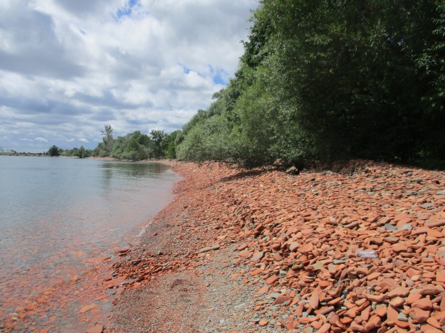
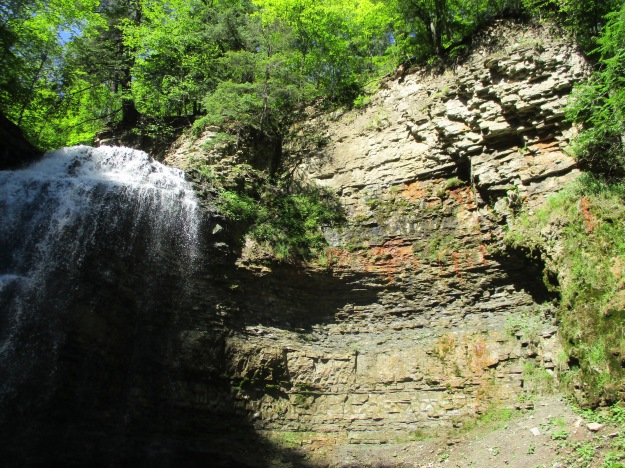
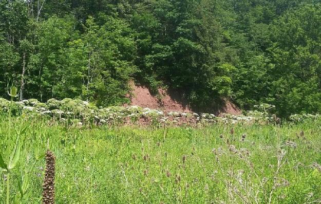
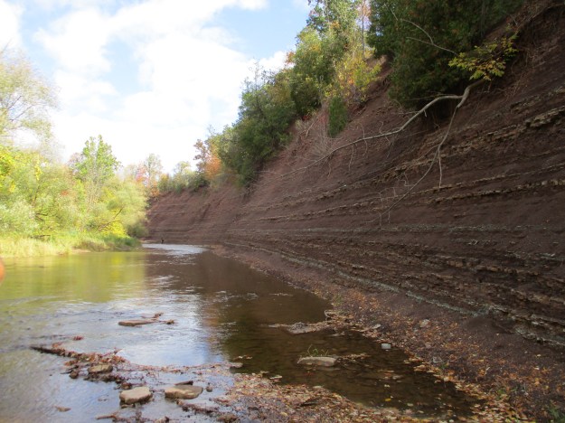
Once at the bottom, we had to skirt around a small section of shale cliff but there is lots of room along the bottom with the water level in the creek being low. You can make your way along the creek for some distance and today there was several dead salmon that had been left on the edge of the stream. It is impossible to make it past this cliff of red shale and so continuing upstream at water level is not an option. Notice the fisherman in the distance as it gives the photo a means of perspective. This is a very long, high shale cliff.
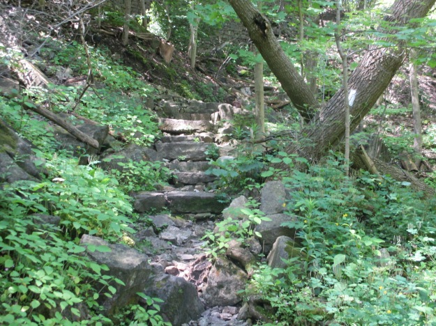
We circled back and made our way to the top of the shale cliff and from there back out to Bronte Road which we followed back to the car.
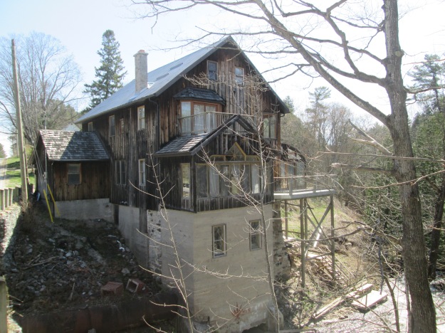
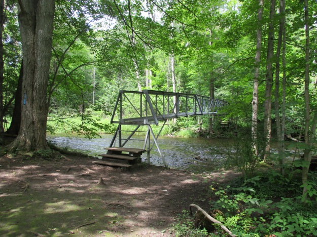
We moved the car to the Car Pool parking near the QEW bridge. From here we began to make our way upstream again. This section of the creek flows through Bronte Creek Provincial Park with its very own haunted house.

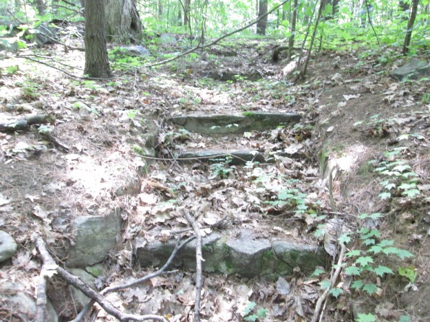
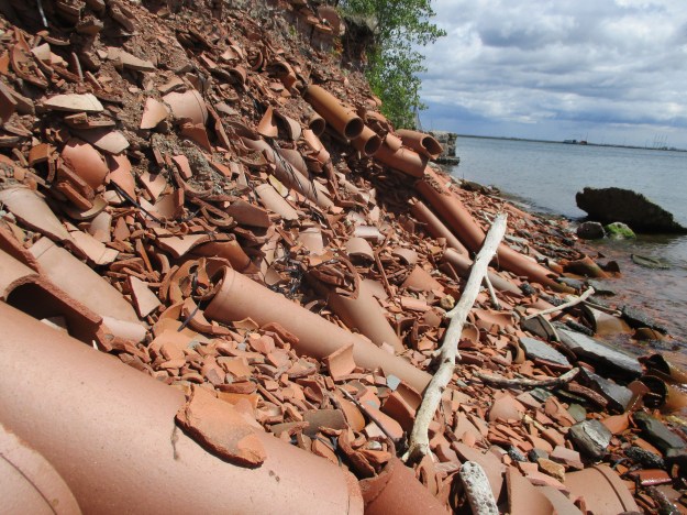
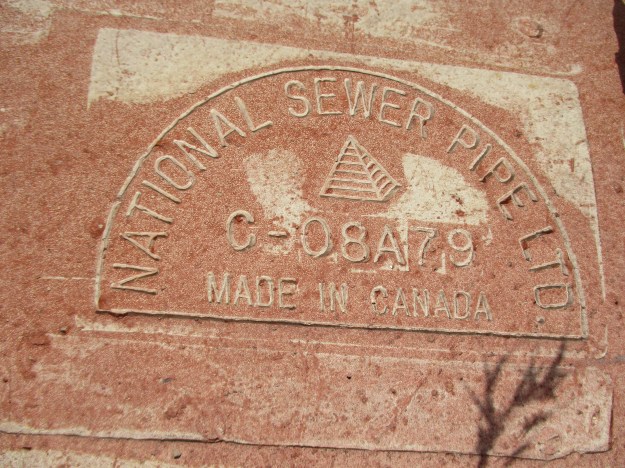
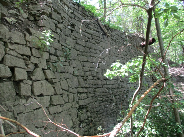
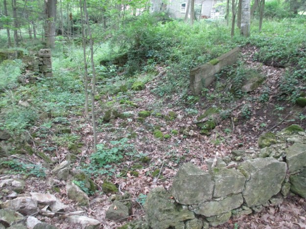
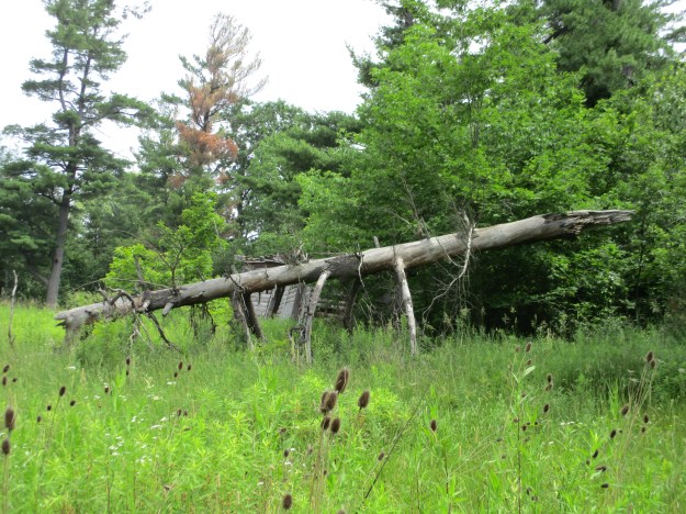
There is a long section where there is a manmade berm running parallel to the embankment. This very likely was a raceway leading to a mill in Merton. The berm can be seen in the photo below where an animal trail runs along the top. Trees grow on the top and sides of the berm where the ground is less marshy.
Bronte Creek was full of fishermen and we saw one person take a nice size salmon home. It was hard to find occasions when you could get a picture without people knee deep in the river.

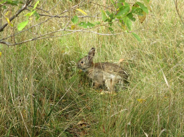
We followed animal trails along the side of the ravine trying to stay above the parts where water is seeping out of the side of the embankment. The lower floodplain is a swamp throughout this area. The side of the hill has a lot of loose leaves and topsoil on it and is very unstable. Eventually, we determined that we needed to make our way to the top of the hill. This landed us in someone’s backyard and so it was time to make a quick exit to Bronte Road before we found ourselves face to face with the owner. Along the pathway, we came across this carving of an owl.

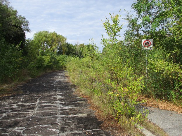
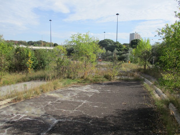
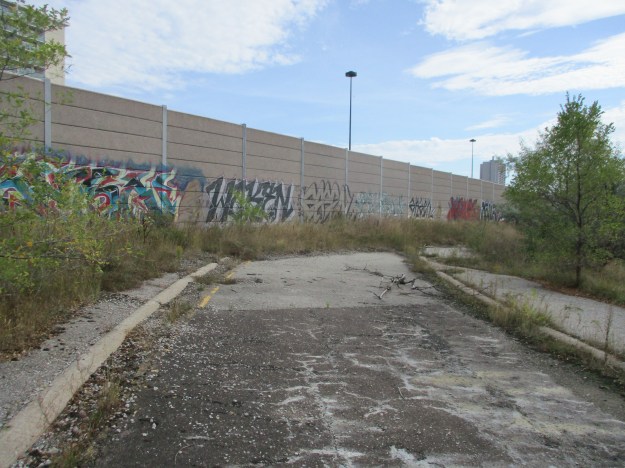
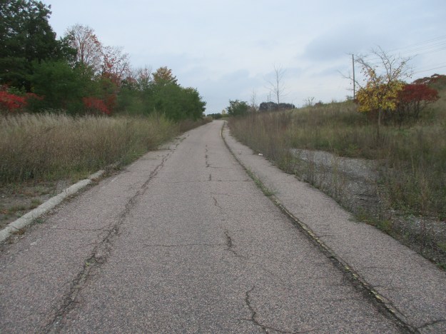
Returning to the car we followed the old Bronte Road that runs under the highway. Prior to 2008 this was a 3 lane road, it now serves as a pedestrian and cyclist path that leads back to the Carpool parking lot.
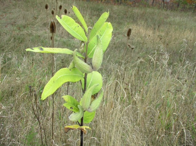
Near the bridge, a small patch of milkweed stands with the seed pods almost ready to burst open and spread their seeds to the wind. The pods are known as follicie and the seeds each have white filaments on them called coma. These are hollow and make good insulation. Due to this, milkweeds are also grown commercially for use as stuffing in hypoallergenic pillows.
We didn’t find the cave and discovered that this is not a hike that is safe for everyone. Also, you may eventually be forced out onto private property so beware. The cave is out there, waiting for us to come and find it some other day.
Google Maps Link: Petro Canada Park
Like us at http://www.facebook.com/hikingthegta
Follow us at http://www.hikingthegta.com