Hilton Falls

Sunday November 1, 2015

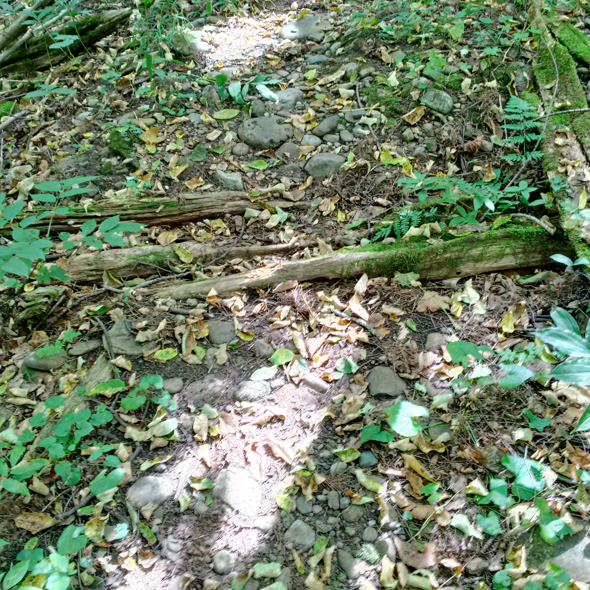
Hilton Falls makes a scenic 10 metre drop over the escarpment beside the ruins of a thrice abandoned saw mill. We decided to visit the falls and investigate a section of the escarpment we had never been through before. We parked on the sixth line at the parking lot for the Halton Regional Forest Britton Tract and set off on an extended hike to the falls.

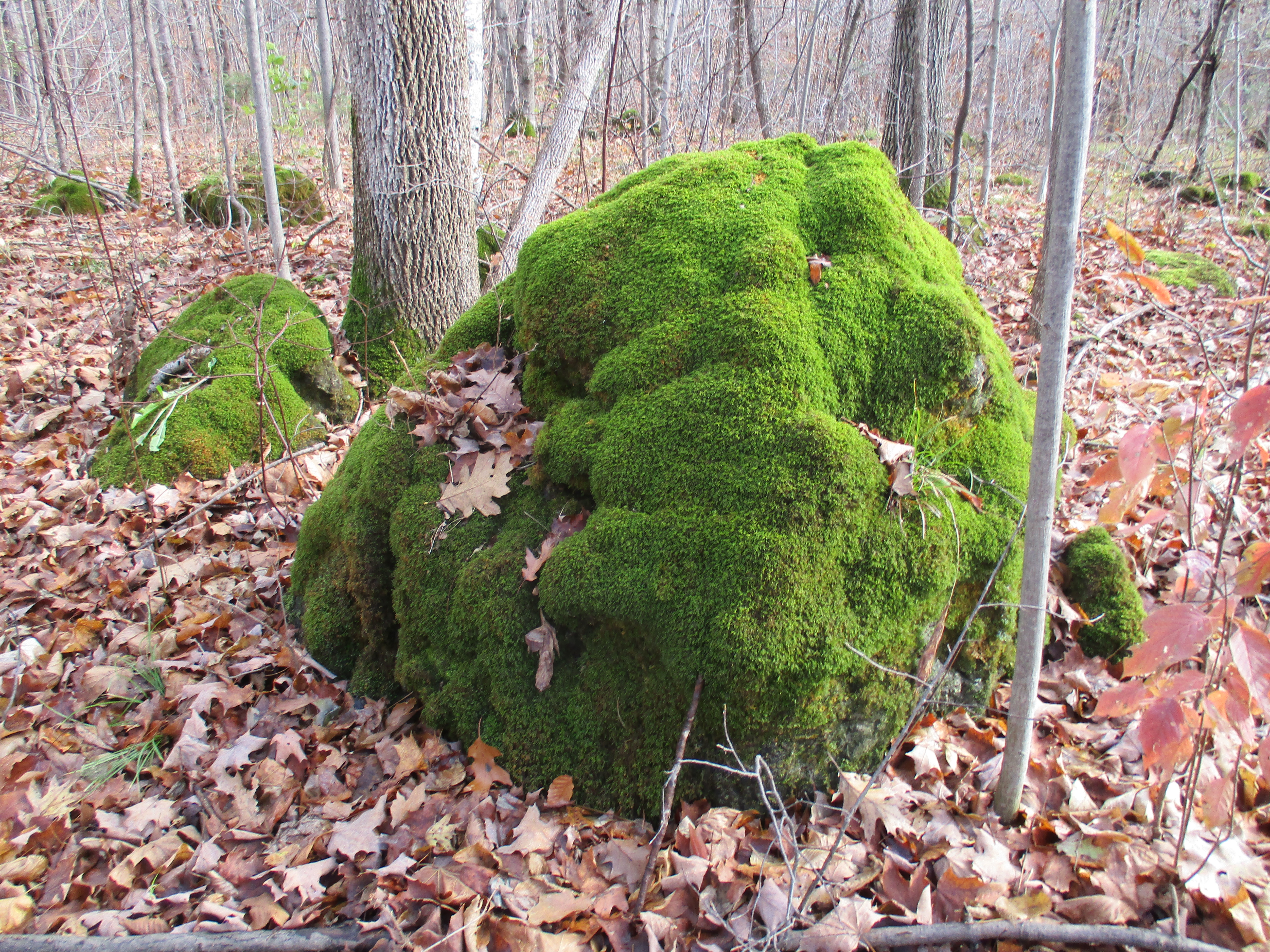
The Britton Tract has been managed by Halton Region since 1952 and contains the Bruce Trail as well as several side trails.  The escarpment here is dolomite which can hold water in pools close to the surface providing a large amount of water in streams and wetlands.  It also leads to the growth of extensive amounts of moss on the rocks.  The trees don’t tolerate the wet conditions and many fall before they reach their full size giving the forest a youthful appearance.
IMG_1018

The autumn meadowhawk, as implied by it’s name, is seen in late summer or fall.   However, the name may suggest a bird rather than a dragonfly.  This dragonfly has relatively large eyes as compared to most members of the genus.  They feed on insects including the beloved mosquito and they themselves are eaten by fish.  Large Mouth Bass are known to catch them as they touch the water when the male and female are locked  in the process of mating.  It’s Latin name means “with rock” and refers to their habit of sunning themselves on the rocks along the shoreline of lakes and steams.

SAMSUNG

Along the side of the blue trail we found a glacial pothole. These potholes generally are wider in the middle than either the top or bottom. Early concepts of their creation suggested that aboriginal people had carved them. Smaller ones supposedly being used for cooking. They are also called “Moulin Potholes” and are now believed to have been formed when water poured through a hole in a melting glacier and eroded the stone beneath. They range in diameter to over 25 feet and the one pictured below is about 15 feet deep.

IMG_1048

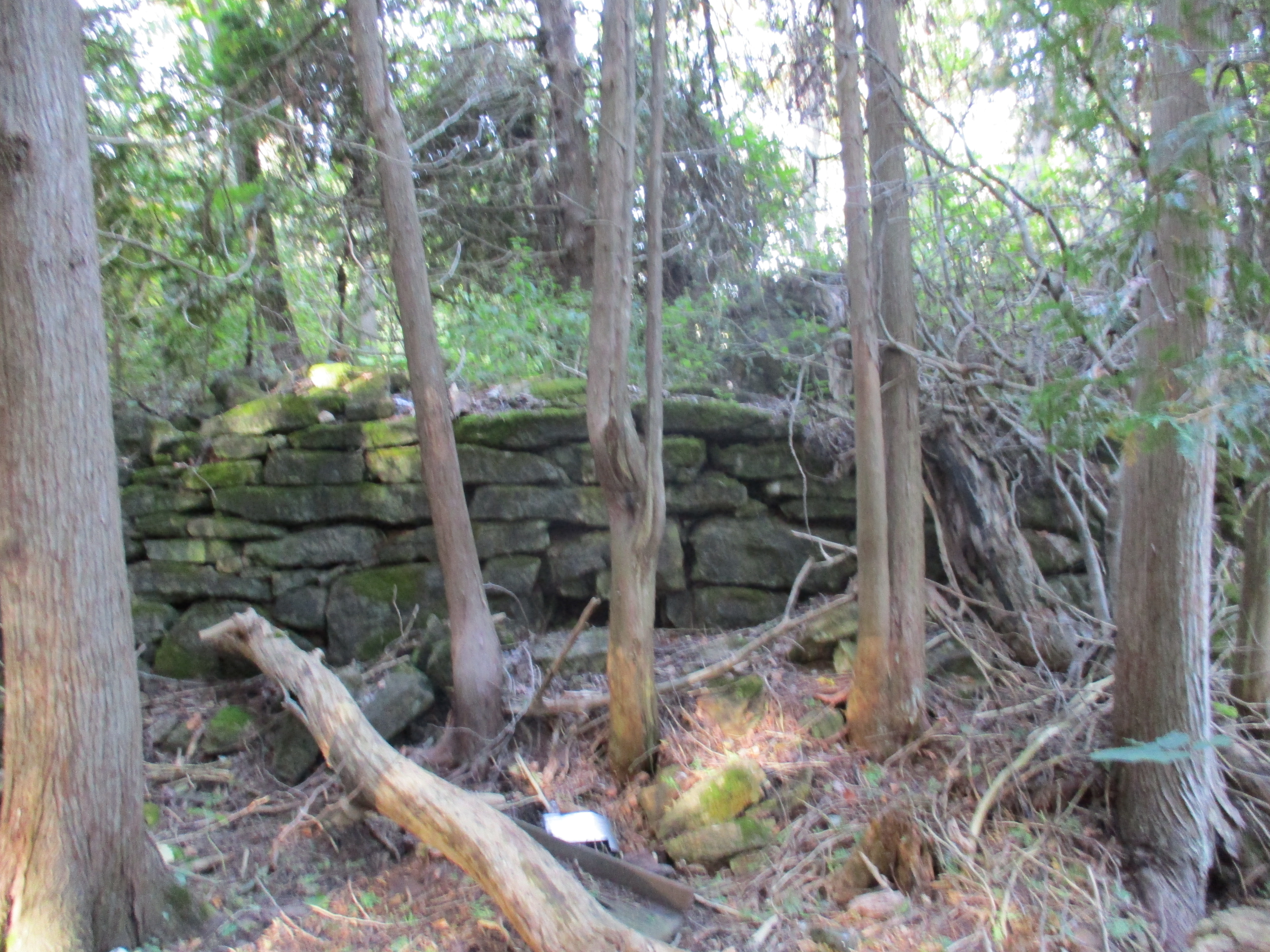
As we made our way through the woods we saw an old stone wall on the left of the path.  Stone fences were the easiest solution for disposing of rocks during the annual clearing of farmland. This particular tract of land was difficult to farm and the fields have been left to go wild again. Now the stone walls are running through the forest where once they would have divided fields.  Like other surfaces in the area the stone fence is covered with a thick layer of moss.

IMG_1069

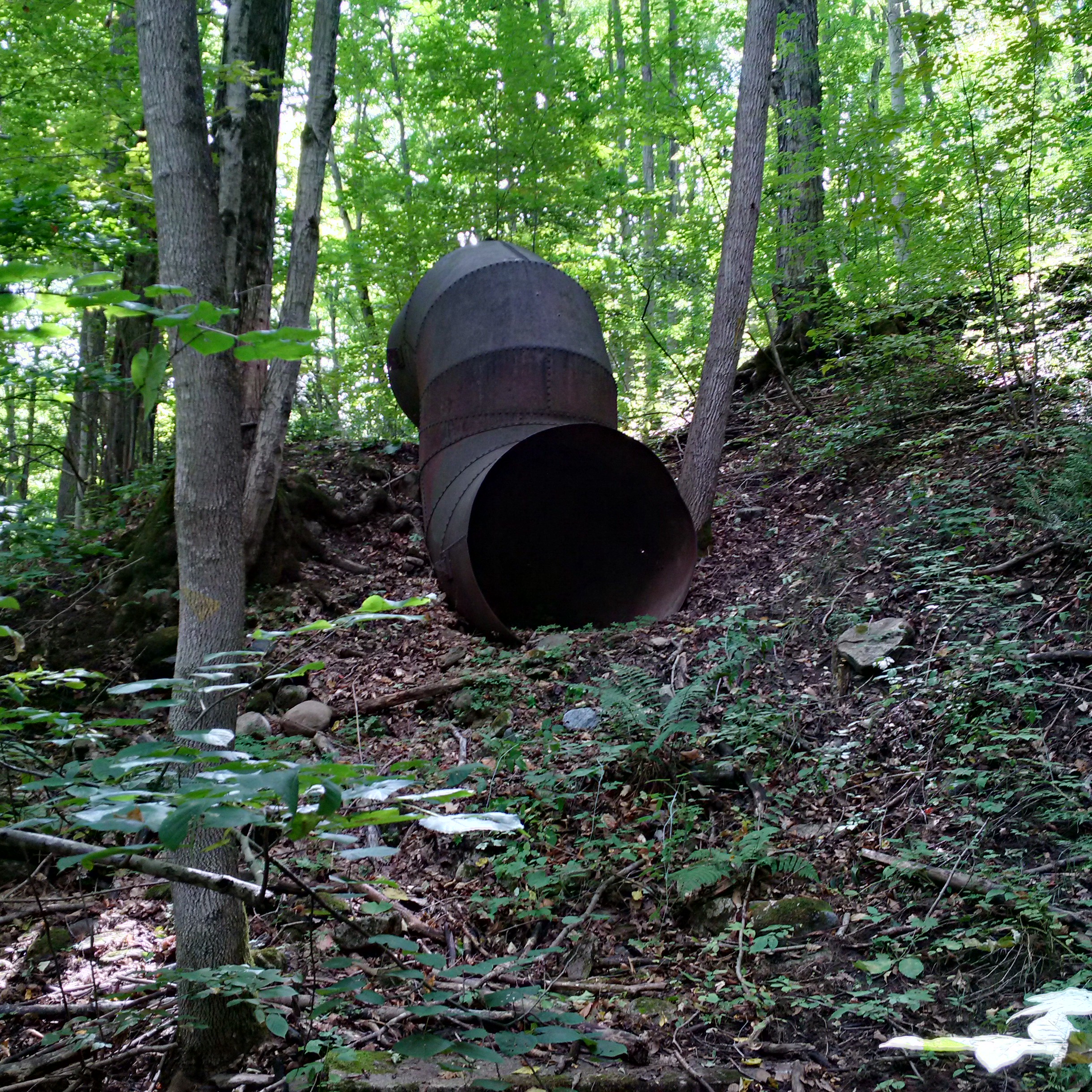
The water in the wetlands is controlled by means of a modern sluice gate.  The pipe on the top houses the cylinder that presses a metal plate down to seal the flow of water.

IMG_1073

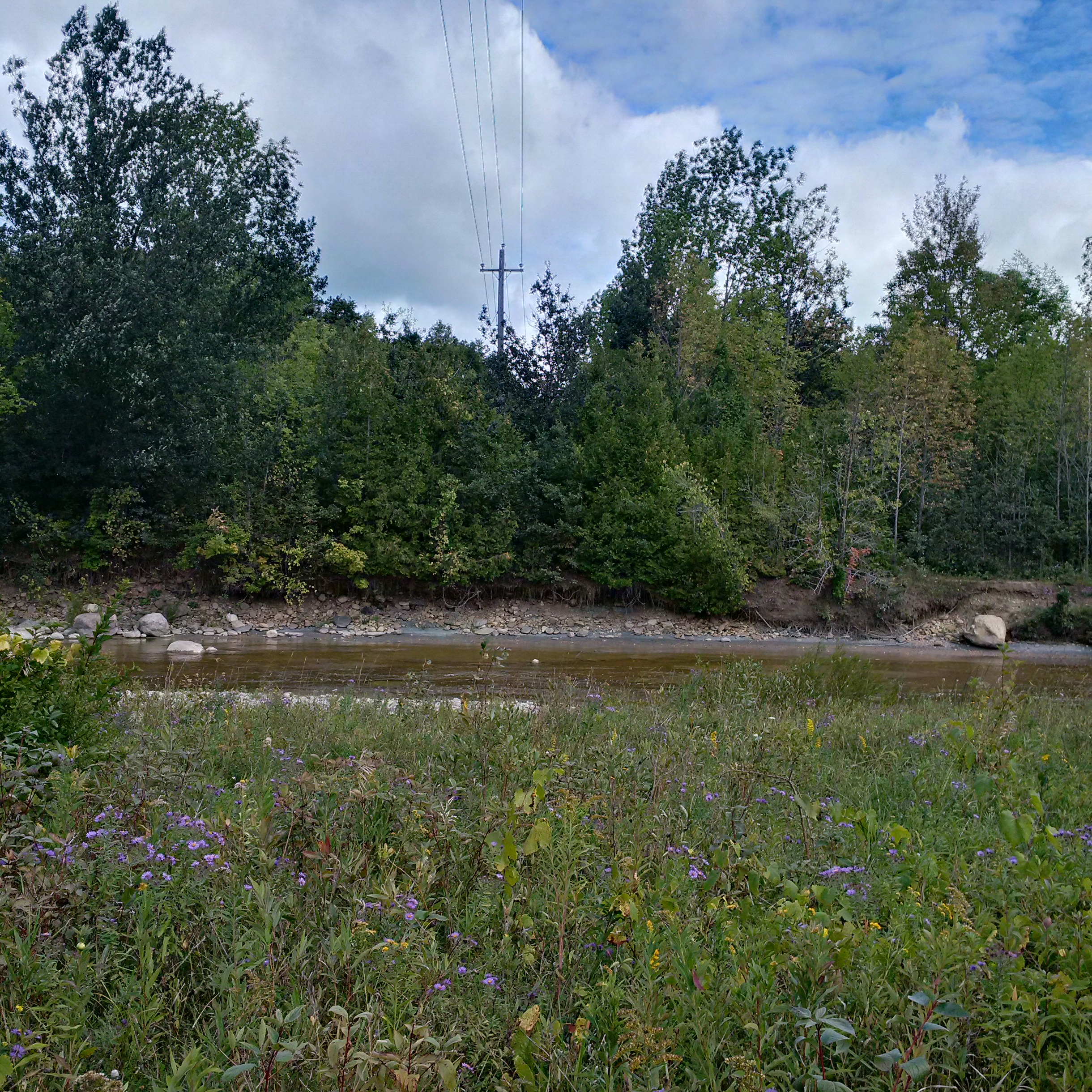
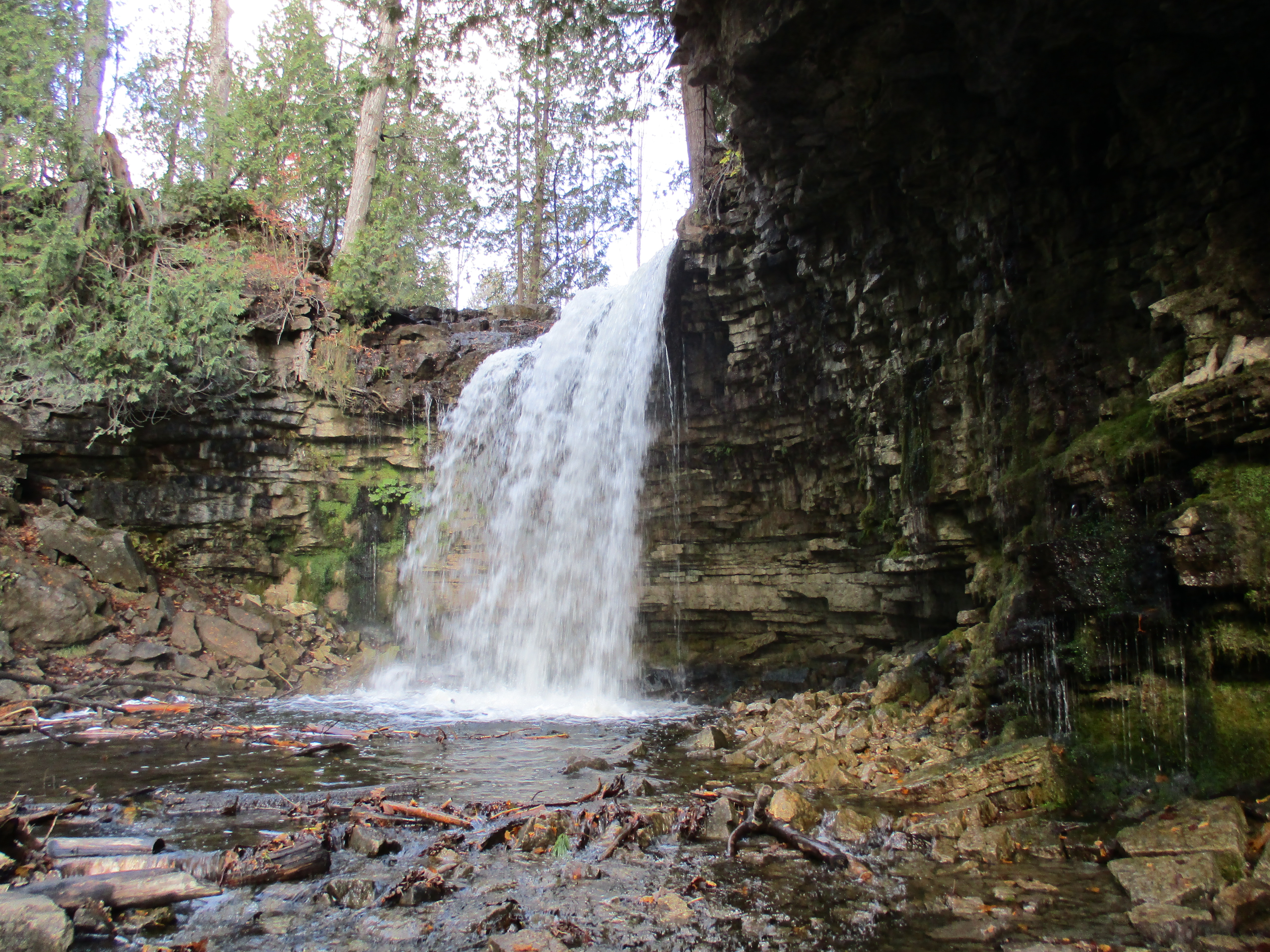
Following Sixteen Mile Creek we came to a place where the sunlight sparkled on the water as it vanished over the crest of a waterfall.

IMG_1092

In 1830 Henry Young gained title to lot 8 in the fifth concession.  He allowed Edward Hilton to build a saw mill in 1835 which Hilton operated until 1837.  This was when he decided to leave to fight in what came to be known as the Upper Canada Rebellion of 1837.  The mill was left to rot and it appears Hilton didn’t return for about twenty years.  Hilton gave his name to the falls although he only operated a mill here for a short time.  Hilton Falls plunges over the escarpment and provided the power to turn the water wheel for the saw mill.
IMG_1114

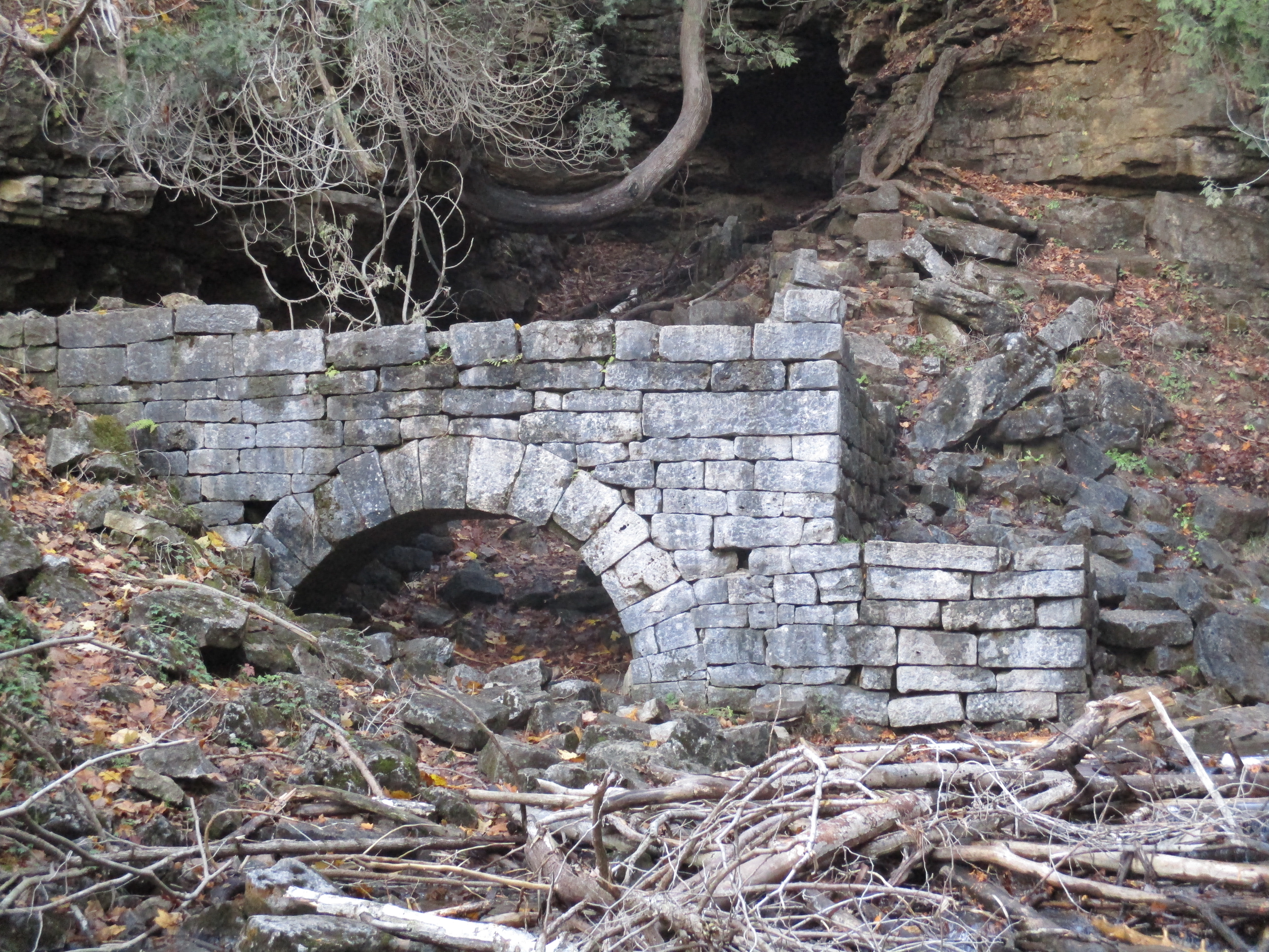
In 1856 the site was purchased by Dr. George Hamilton Park who had the mill rebuilt.  He likely bought it under speculation and it was operated under several names until 1863 when it burned down.  At the foot of the falls stand the remains of the water wheel housing from Dr. Park’s mill.  This cut stone structure supported a wood and iron wheel that was reported to be 40 feet in diameter.  Estimations of the site suggest that 26 feet was more likely the size.  The water was brought from a mill pond above the falls through a flume to the top of the wheel.  The stone arch provided an exit for the water after it turned the wheel.  The wheel housing and the mill were solid construction.  The saw mill was 30 feet wide, 50 feet long and stood 18 feet tall.  The wheel housing can be seen below as well as in relation to the falls in the cover photo.
IMG_1110

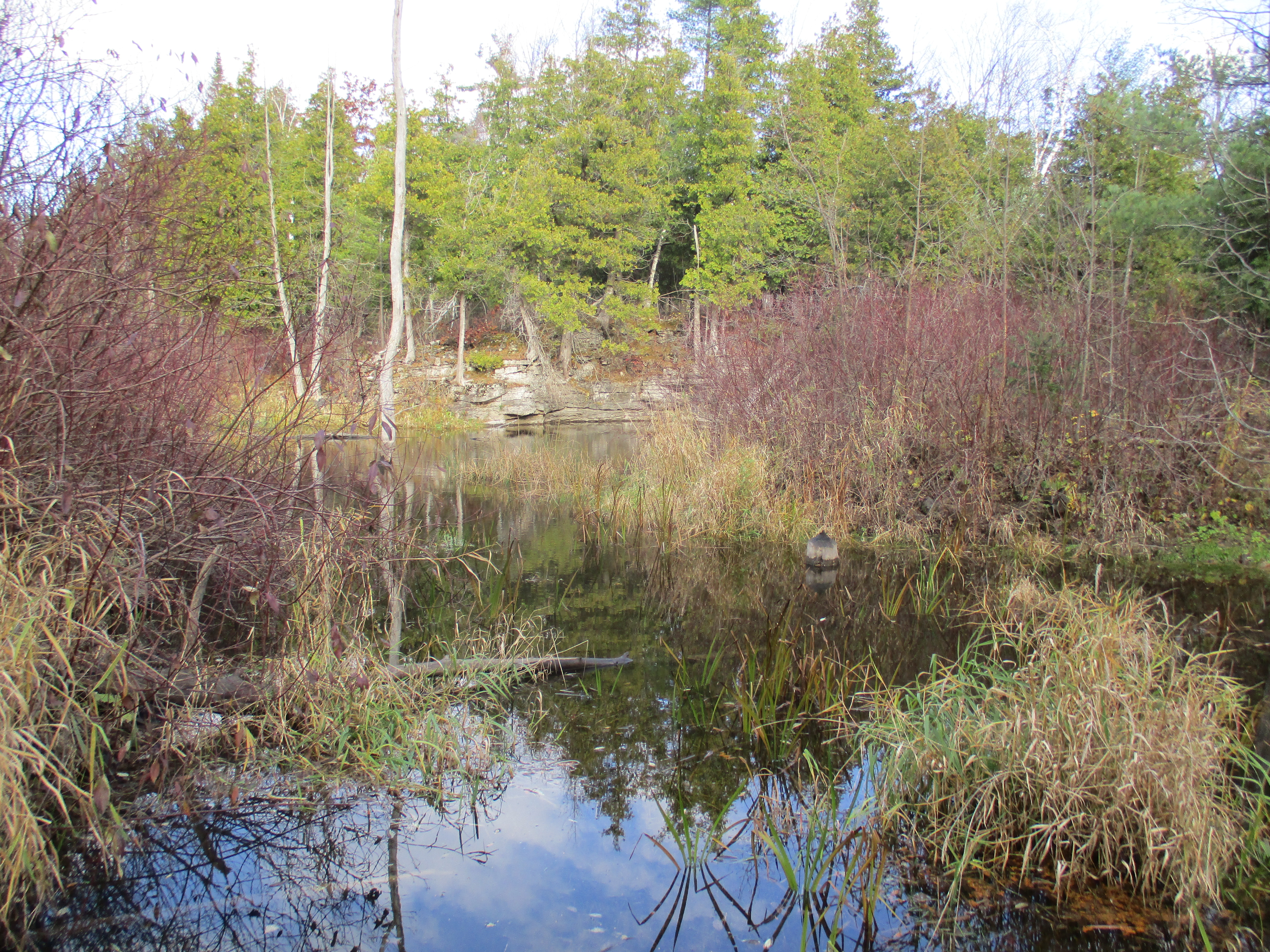
Along the way back we decided to take a brief trek along a side trail near the sluice gates. Here we discovered this small pond.  The white rock along the far shore of the pond is another large glacial pothole.
IMG_1122

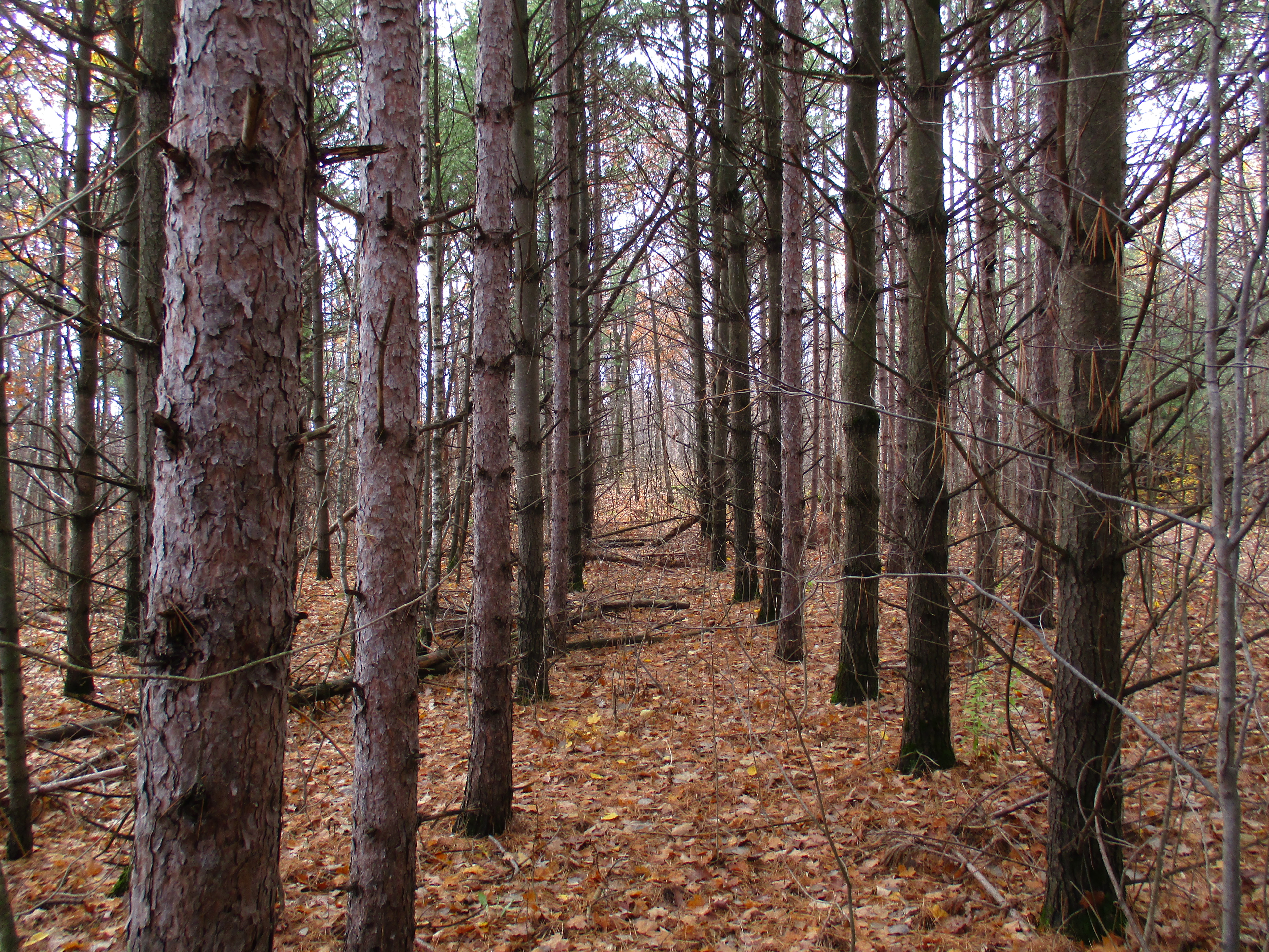
Ontario’s crown forests cover almost two thirds of the province.  When almost all of the original tree cover was harvested in the first century of settlement the government set out a program to encourage reforestation.  Tax grants were made available to people who planted a portion of their land with forests.  The land in the escarpment was poor for farming and was often reforested with trees planted in straight rows as seen below.
IMG_1054

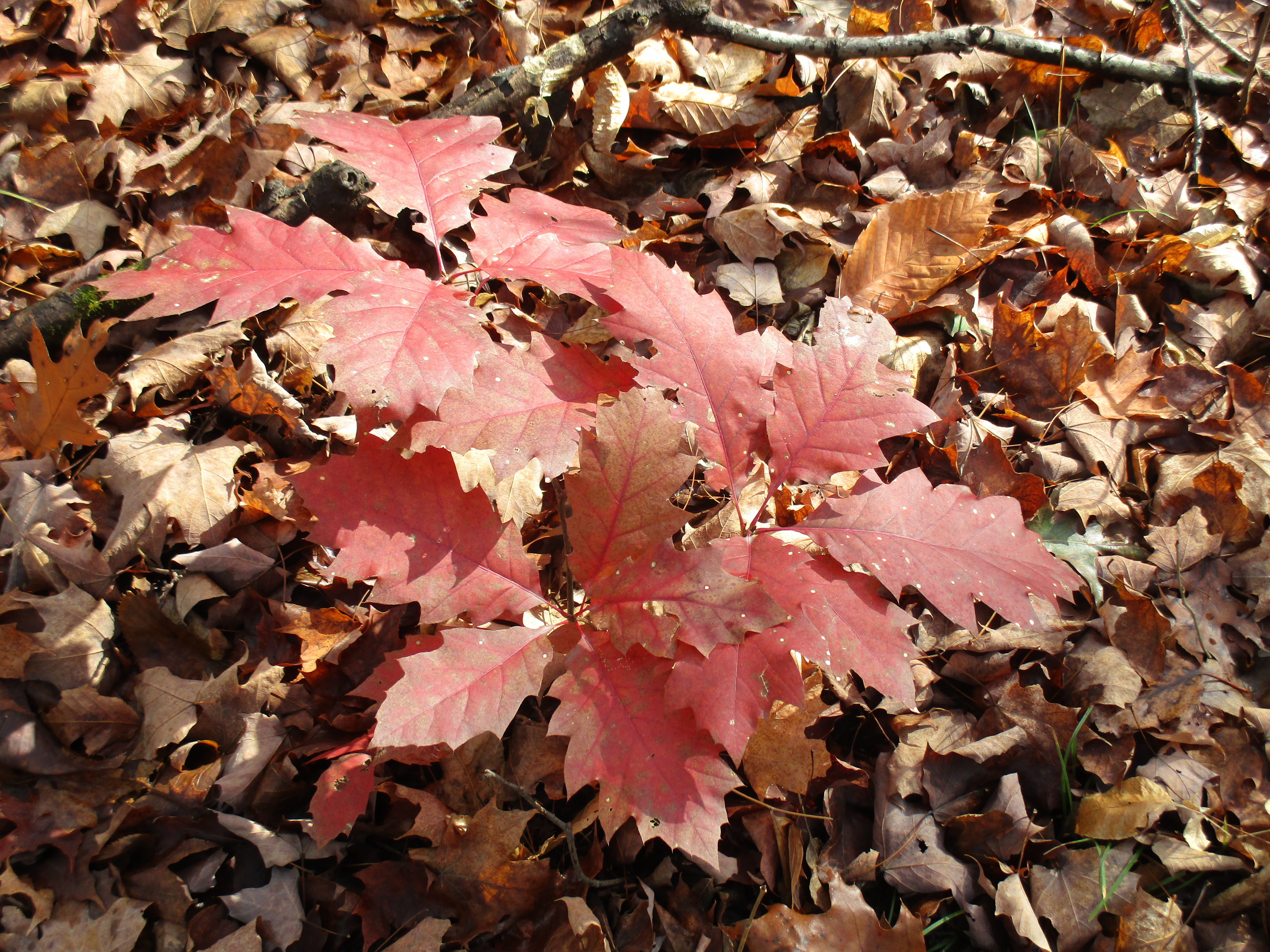
This small red oak tree has it’s bright red leaves shining in the fall sunlight.  This tree can grow very fast and in 10 years can reach up to 20 feet tall.  As noted earlier, the growing conditions here will likely cause it to die before it reaches it’s potential of 500 years old.
IMG_1015

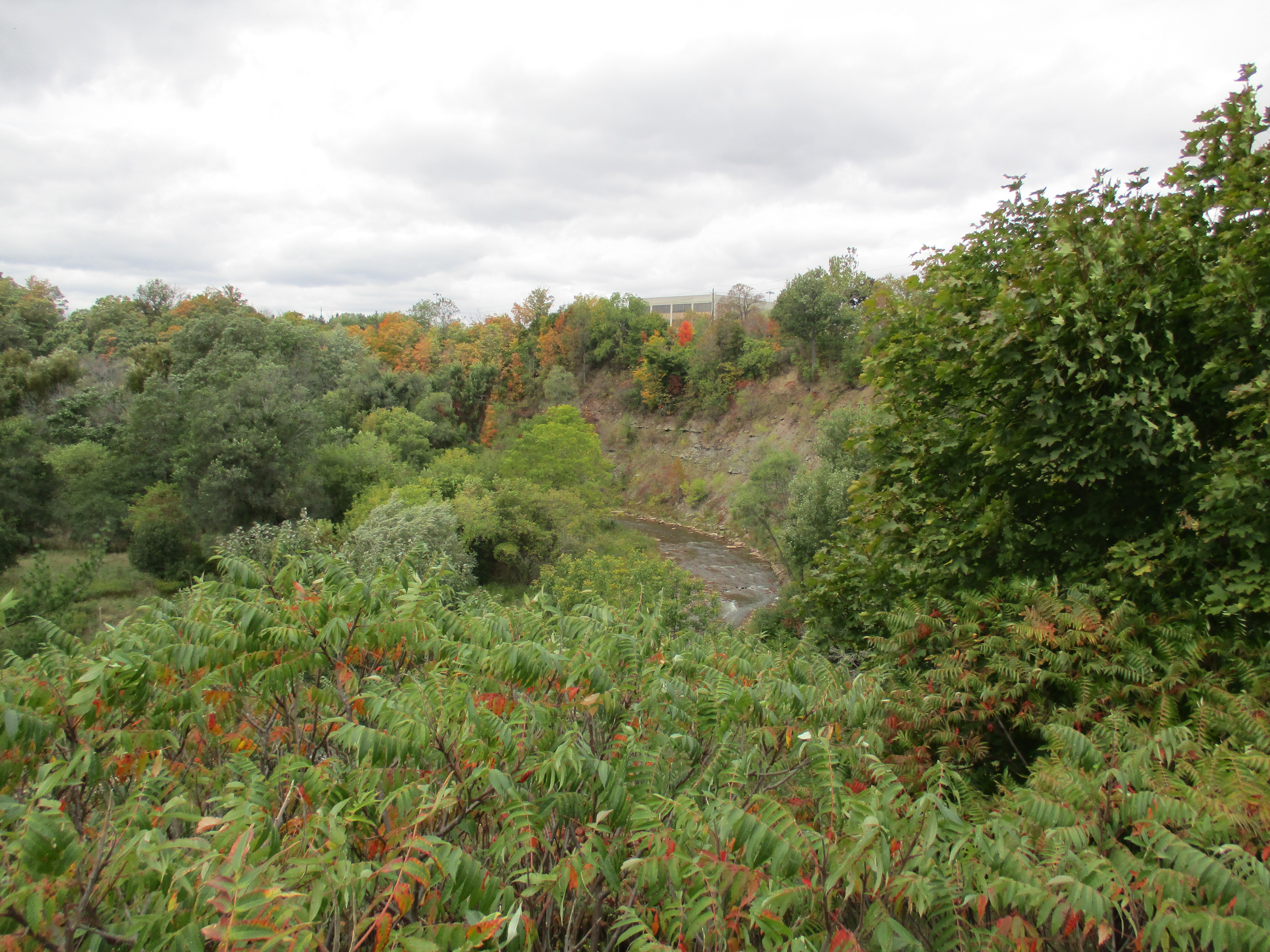
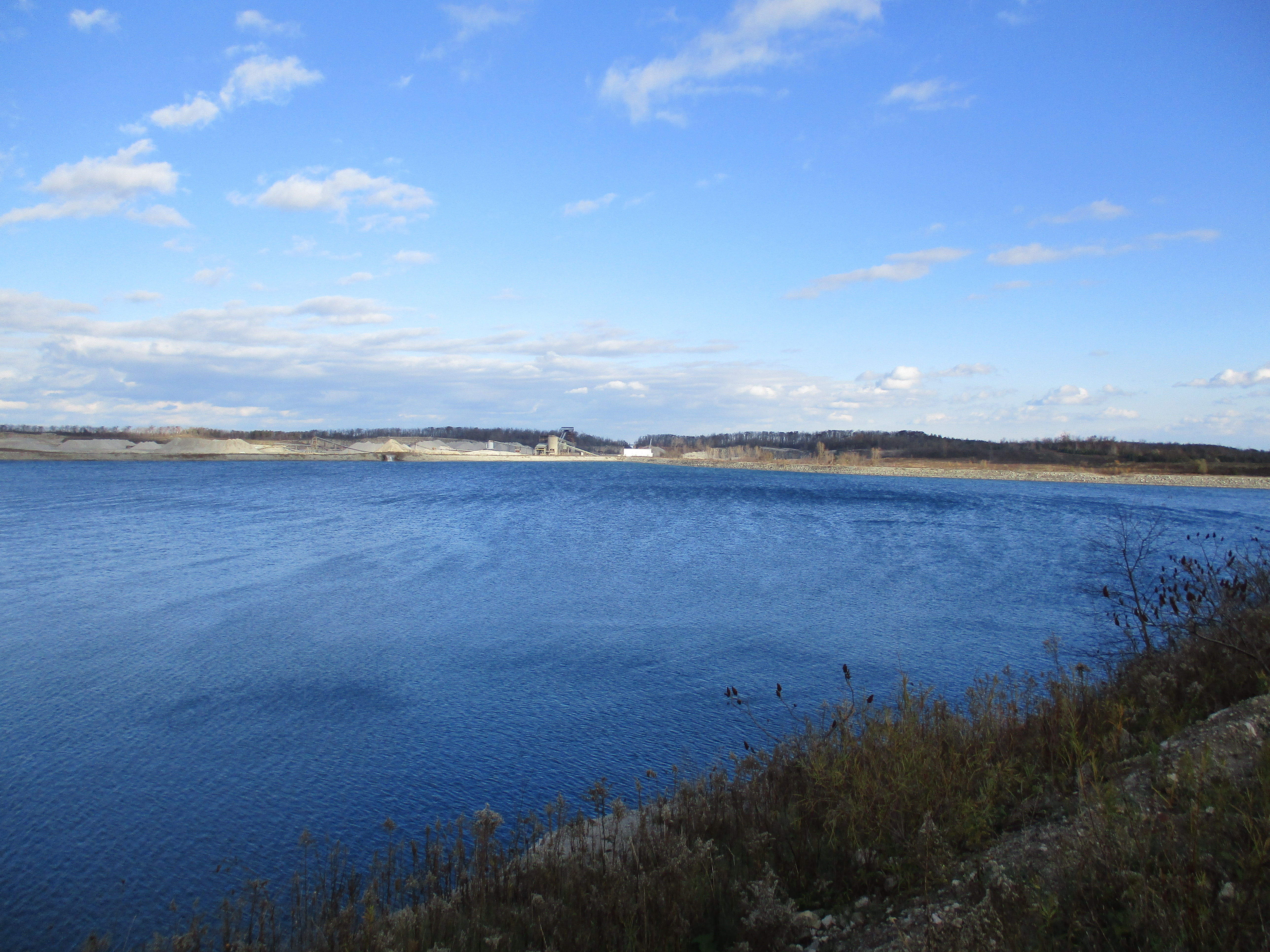
The Niagara Escarpment was named a World Biosphere Reserve by UNESCO in 1990. Development and land use are strictly controlled along the escarpment.  Mineral extraction is one of the permitted uses of the escarpment under tightly controlled conditions.  The Milton Quarry is across the street from where we parked and has filled up with water.  On the far side of this photograph is a white building.  Behind it a foot bridge carries the Bruce Trail across “The Gap” in the escarpment.  This gap can be seen from the 401 and was created in 1962 when the quarry was opened.  The trail over The Gap makes for a fun hike that I hope to repeat soon.
IMG_1124

Taking the scenic route it was 5.9 km to the falls but the more direct route back was only 4.26 km for a total hike of 10.25 km.  This is a lengthy hike but there is a shorter means to access the falls from Hilton Falls Conservation Area.

Like us at http://www.facebook.com/hikingthegta
 

Ontario’s First Rehab Hospital – St. John’s Rehab

Sunday October 25, 2015

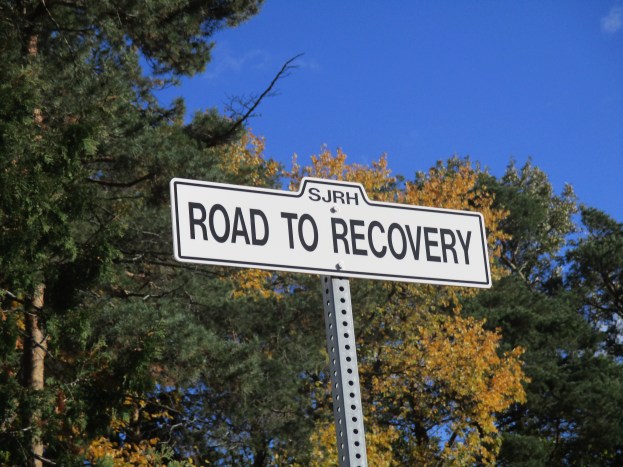
The story of The Road To Recovery starts on October 28th 1837.  For me personally it started on October 23rd when my wife was transferred to St. John’s Rehab Hospital.  It was then that I discovered that the hospital hidden in the gardens on Cummer Avenue was the very first rehab hospital in Ontario.  Sunday afternoon I decided to park a short distance from the hospital and walk through Newtonbrook Ravine on my way to visit her.  It was a sunny afternoon and the fall air was fresh with a crisp breeze.

I parked on Manorcrest Drive near Bayview and Finch and entered Newtonbrook Park.  It was a windy day and the milkweed plants were shedding their seeds.  Milkweed is essential in the life cycle of the monarch butterfly and it is recommended that everyone grow milkweed in their garden.  Collecting local seeds and starting your own plants will bring these beautiful butterflies into your yard.

IMG_0949

This little park does not connect with the paved path unless you cross Newtonbrook Creek.  The water level was low and people have made a stone path through the water.  The park itself has some wild stretches along the creek.  The sunlight was working on the late leaves bringing the yellow and orange into a bright collage of colour.

IMG_0972

Along the side of Newtonbrook Creek there are extensive sand deposits.  The creek has cut through these indicating that it had a much stronger flow at times in the past.  The sandbank below had several small holes and one large one cut into it.  Suspecting a large animal, perhaps a coyote, had made that large hole I decided to work my way around for a closer view.  It is simply a spot where a large chunk of sand fell out due to erosion.

IMG_0975

Hannah Greir Coome was born in October 1837 at The Carrying Place, Upper Canada.  When Hannah’s husband died in 1878 she decided to dedicate her widowhood to the service of God and was on her way to England to join a convent.  Having stopped in Toronto on route she met a small group of people who convinced her to start a religious order in Canada.  She agreed and joined an Episcopalian-Anglican order in New York state for training.  She took her vows on Sep. 8, 1884 and this is the founding date for the Canadian Order of the Sisterhood of Saint John The Divine.  The archive picture below shows Mother Hannah in 1918.

Mother Hannah

On Dec. 27, 1884, the feast day of St. John The Divine, the Order formally opened it’s first convent called St. John’s House.  It was located at 71-73 Robinson Street, now renumbered 81-83, and included a dispensary to provide free medication to the poor.  In 1885 the adjacent property on Euclid Avenue was acquired and converted into an infirmary which was named St. John’s Surgical Hospital for Women.  Hannah had been born in the year of the Upper Canada Rebellion and delayed the opening of the hospital to participate in the 1885 Riel Rebellion. Hannah, along with nurses and a doctor, traveled to Moose Jaw to create a hospital for the Canadian Army.  By 1890 a larger hospital was required in Toronto and using this experience several lots were purchased on Major Street for a new facility.

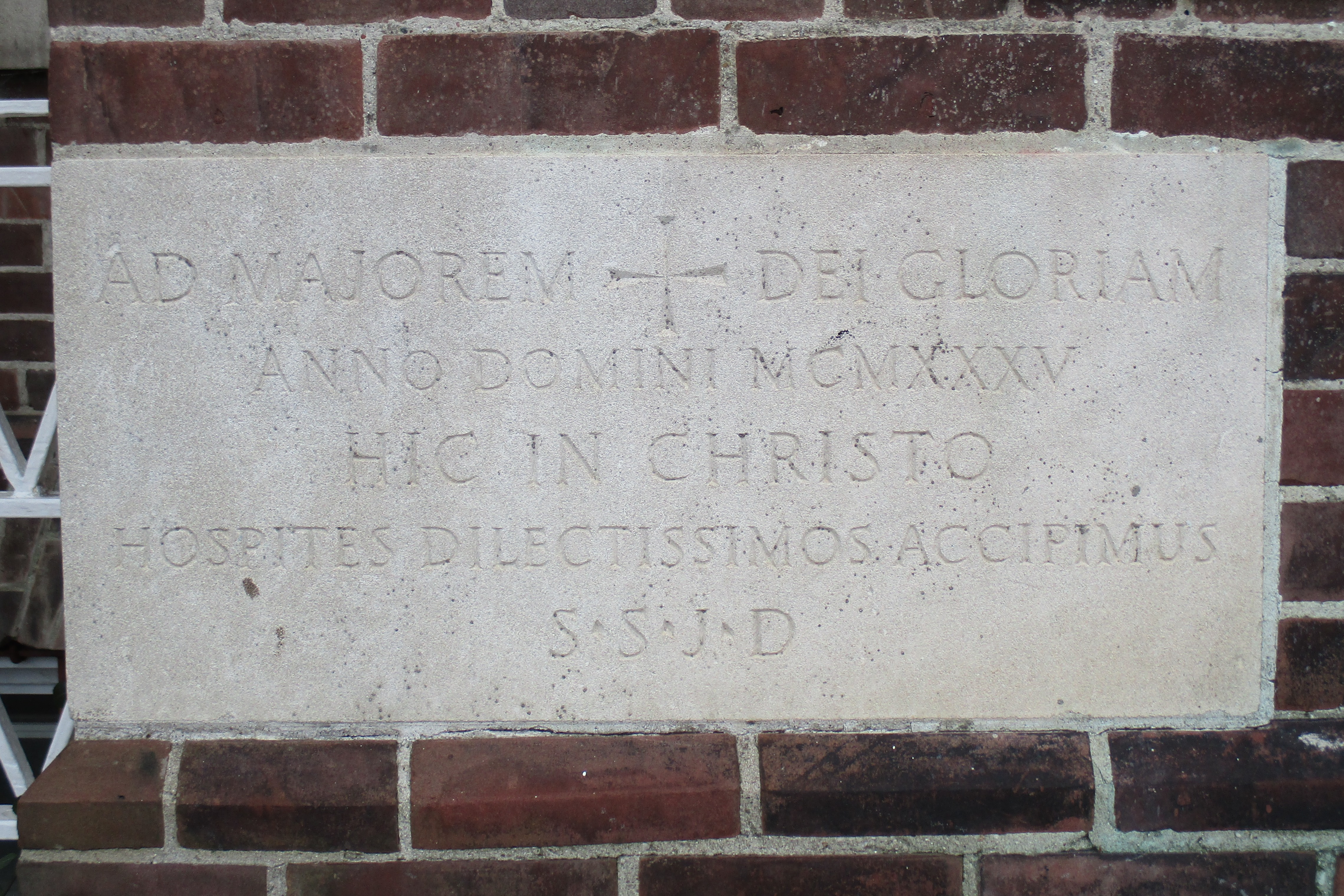
This hospital featured large verandas which connected to, or over looked, the gardens.  From the beginning open air and access to nature were combined with scientific medicine and the Sister’s prayers and spiritual attention.  The hospital always operated independent of government funding and when 1930’s medical advances required excessive investment the Sisters decided to take advantage of their unique approach to convalescence.  In 1933 they had the idea to create a centre for rehab treatment for patients from all seven Toronto public hospitals.  This would free up beds in the hospitals for patients needing active treatment.  They laid the corner stone for their new building on Cummer Avenue on October 8, 1935.

IMG_0999

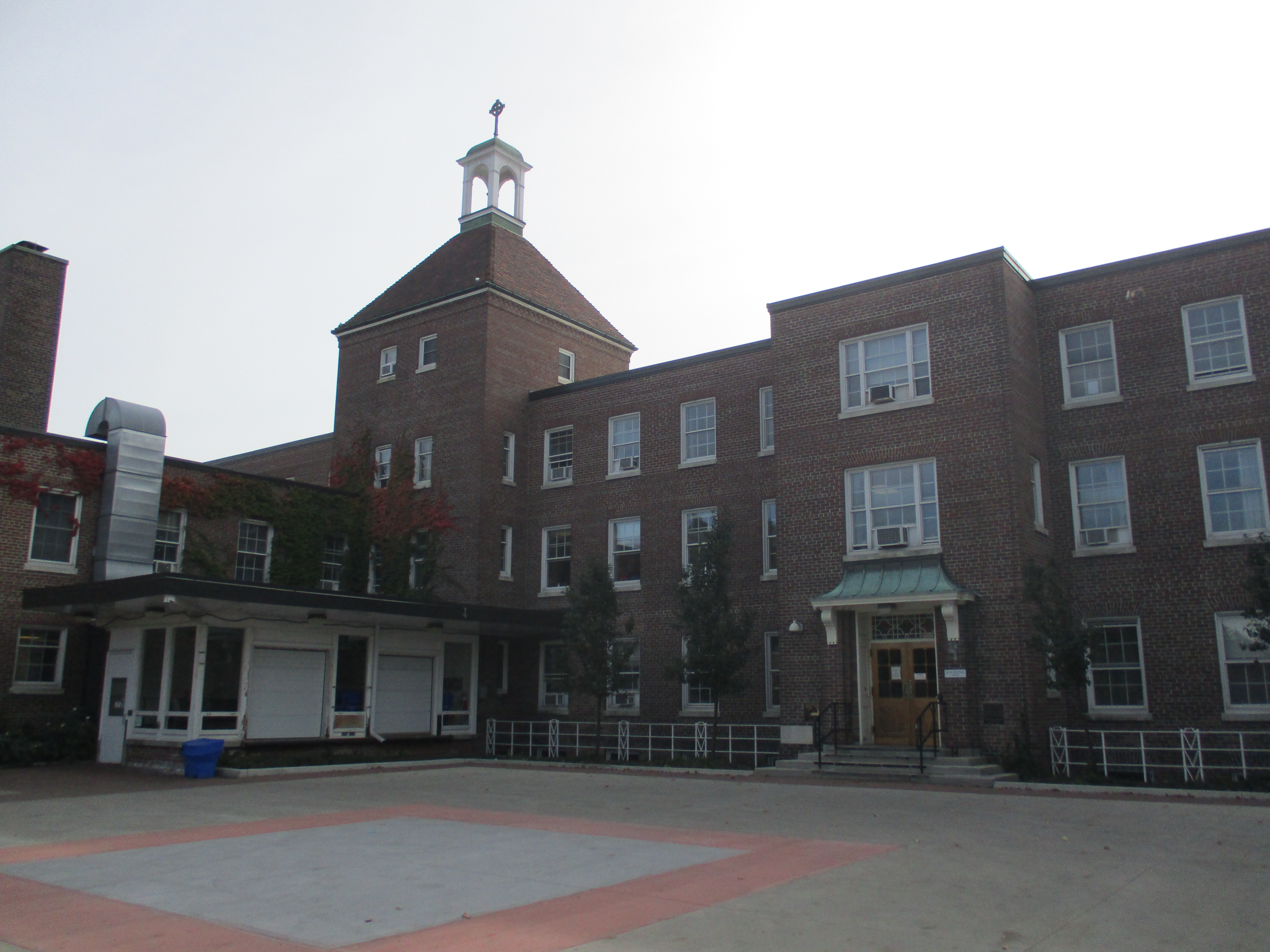
The Governor General of Canada officially opened the facility on May 22, 1937.  The original hospital had the same number of beds as the Major street facility and contained three floors of rooms with a four story bell tower.

IMG_0995

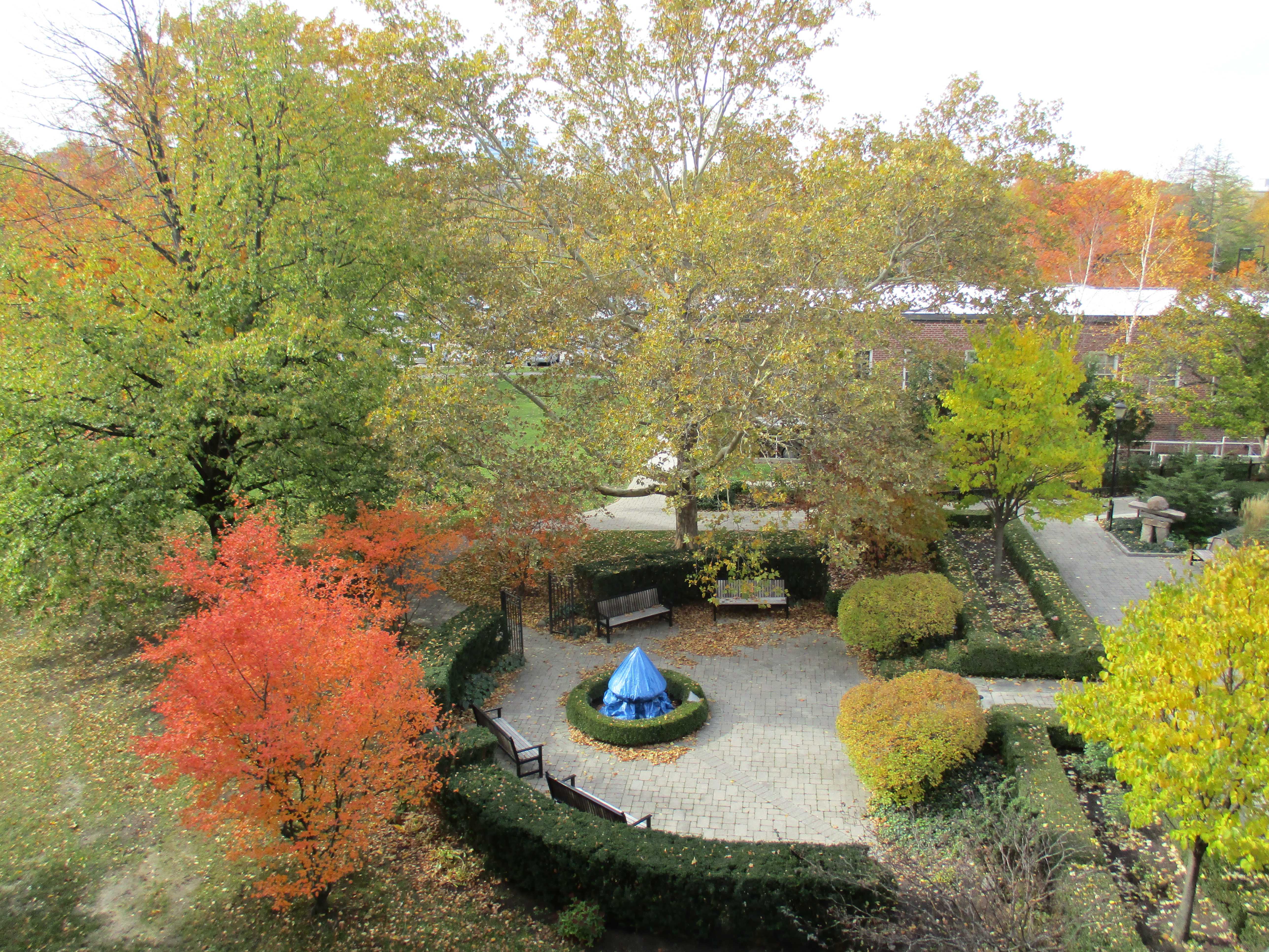
The Sisters owned 31.5 acres of land with the southern border being the Newtonbrook Ravine which features the type of natural beauty displayed above.  The property was flat farmland but they transformed it into a series of gardens so the patients could experience the calming effect of nature.

IMG_1001

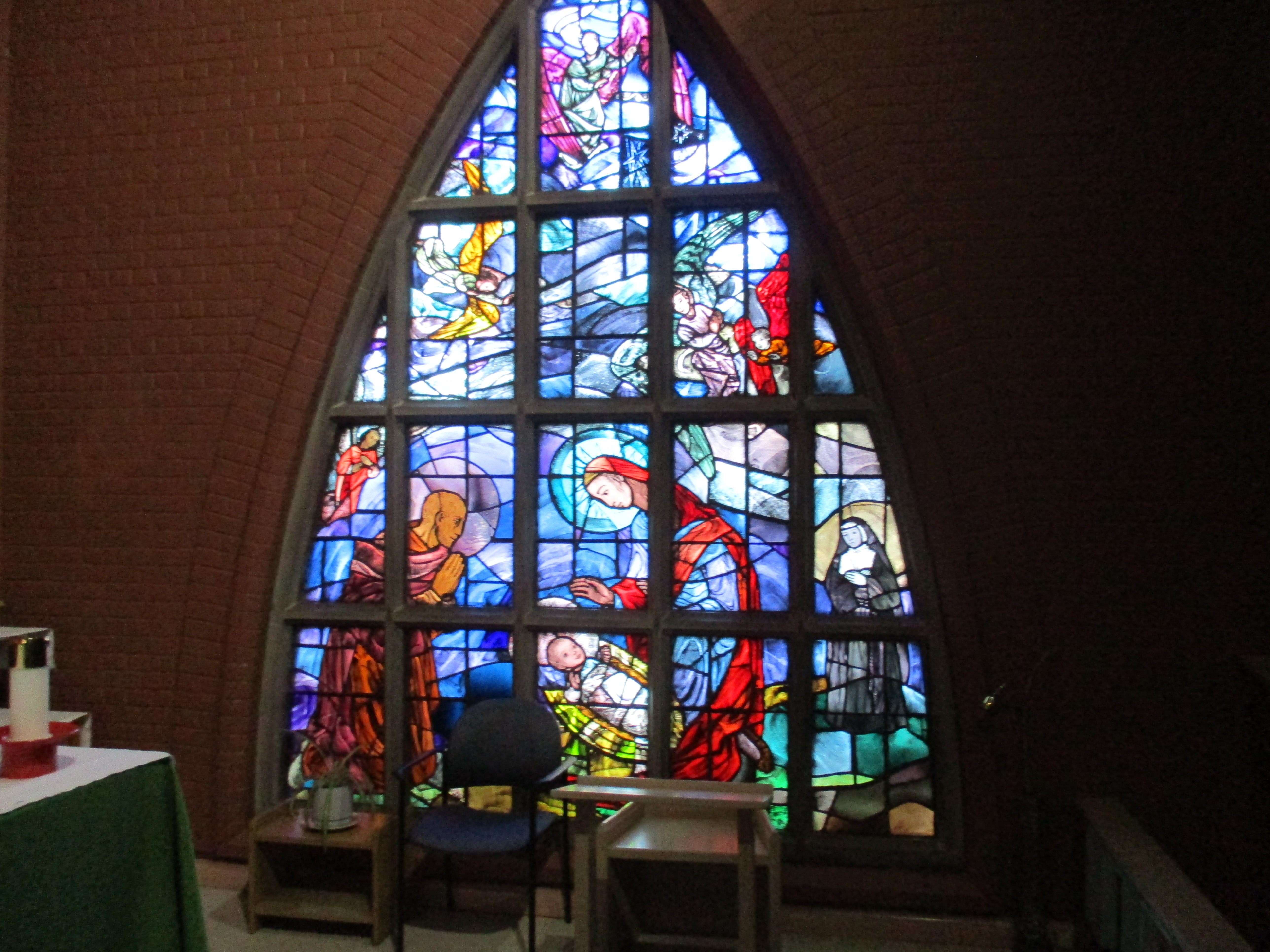
The hospital was founded by an Anglican order on their spiritual principles to specialize in women’s care, especially for the poor.  However, they never turned people away based on their gender, race or social status.  They asked those who could pay to do so to offset the cost of tending  to the needy.  They have always included prayer and an open spiritual atmosphere as an essential element of their care.  Today they have an open policy that is accepting of all faiths. The chapel was consecrated on June 4, 1953 and is designed to accommodate those in all stages of recovery from beds to wheel chairs then to regular seating.  The chapel is beautiful inside and my wife and I spent a few quiet moments there.  On the east wall is a stained glass mural depicting the sisterhood’s contribution to nursing.  Notice the nun in the lower right hand corner.

IMG_0991

The hospital operated on the Sister’s experience that rehabilitation needed to look after more than just the body, it included the mind and spirit as well.  This led to the North American College of Physicians designating them as the standard for rehabilitation.  It occurs to me that hiking also challenges the body, stimulates the mind and soothes the spirit.  As I left the hospital I stopped to look back down the Road to Recovery at the bell tower and wondered how many people have traveled that road.  Going in via hospital vehicle and leaving to go home.

IMG_0985

I slowly made my way back through the ravine to the car enjoying the restorative wonder and beauty of creation.

IMG_0974

Like us at http://www.facebook.com/hikingthegta

The Caledon Aerial Tramway – The Cox Property

Saturday Oct. 24, 2015

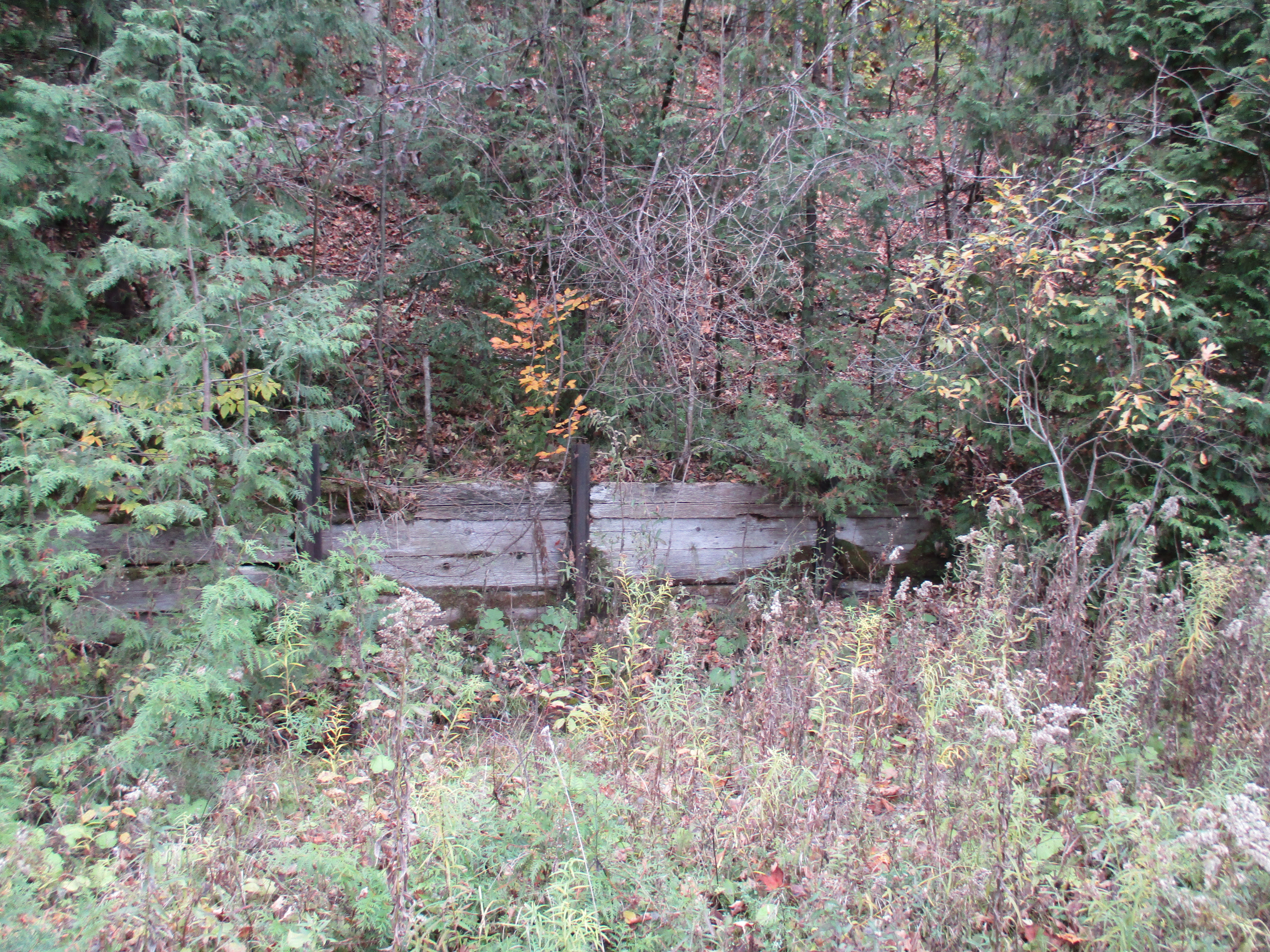
For over 100 years a steam powered aerial tramway has been hidden away in the Caledon hills. It was 8 degrees when we set out and it started lightly raining almost as soon as we found the west end of the tramway.  Having parked on The Forks Road near Dominion Street we walked up the hill to the hairpin turn.  This is where the Credit Valley Railroad (CVR) built their station.  The CVR was absorbed into the Canadian Pacific Railroad (CPR) who took over transportation for the mineral extraction activities in the area.  The embankment on the side of the railway has been reinforced by driving steel rails into the ground to support boards.

IMG_0883

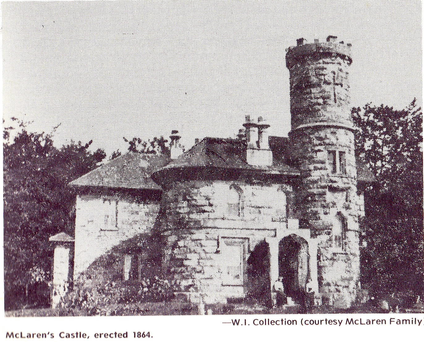
The medina sandstone in the Caledon hills had not been exploited with much success until the coming of the CVR.  McLaren’s Castle was built in 1864 and is a rare example of local stone prior to the arrival of the railway in 1879.  For the next thirty years quarries mined all the easily accessed deposits until one by one they were closed.  In 1900 an aerial tramway was built to bring stone from the eastern embankment of the Credit River to the railway line.  This avoided bringing it down to Dominion Street and then back up the hill on the Forks of the Credit Road. McLaren’s castle is shown in the archive photo below but it was destroyed in a series of fires in the 1960’s.

the grange

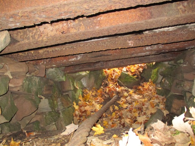
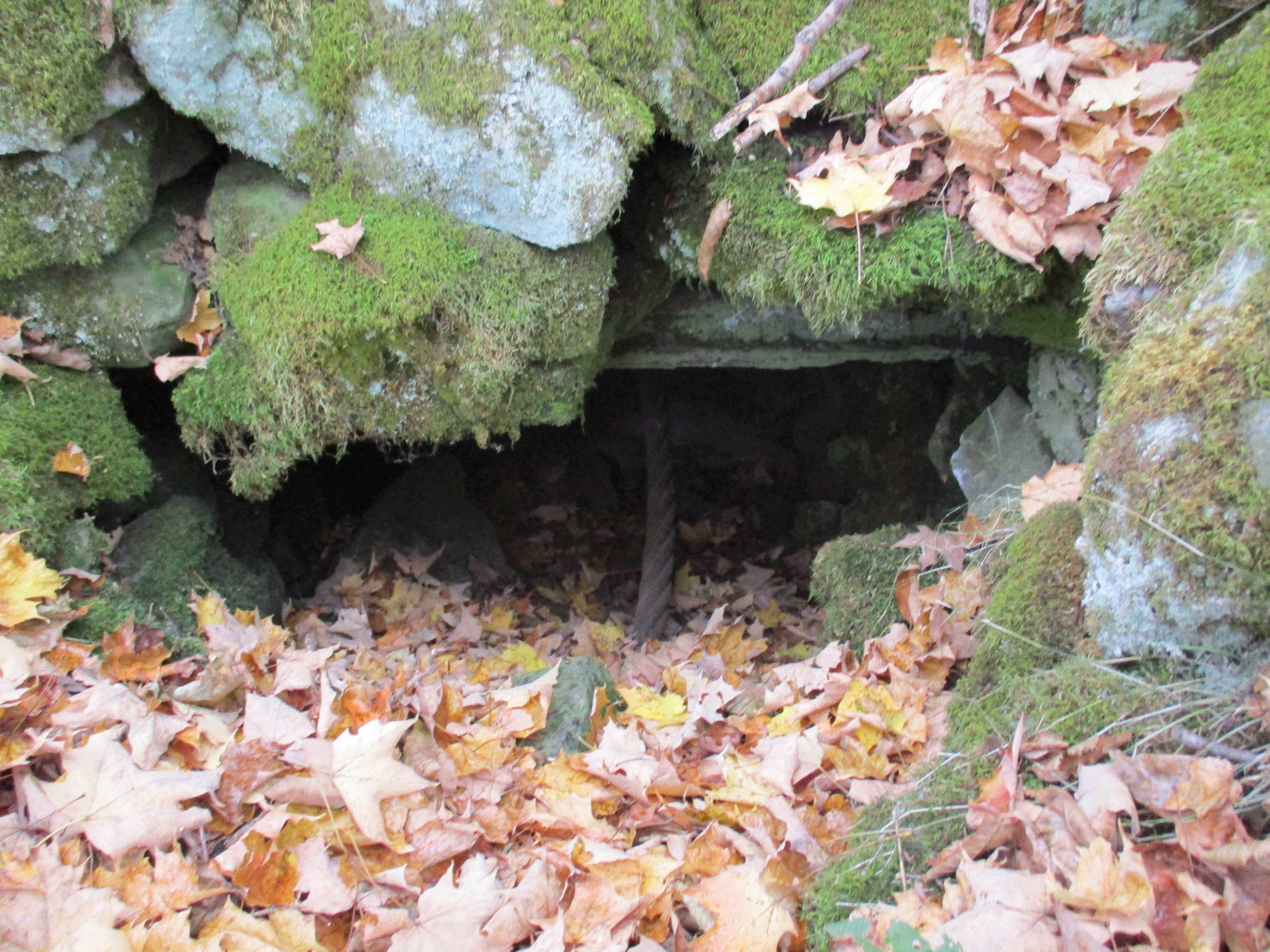
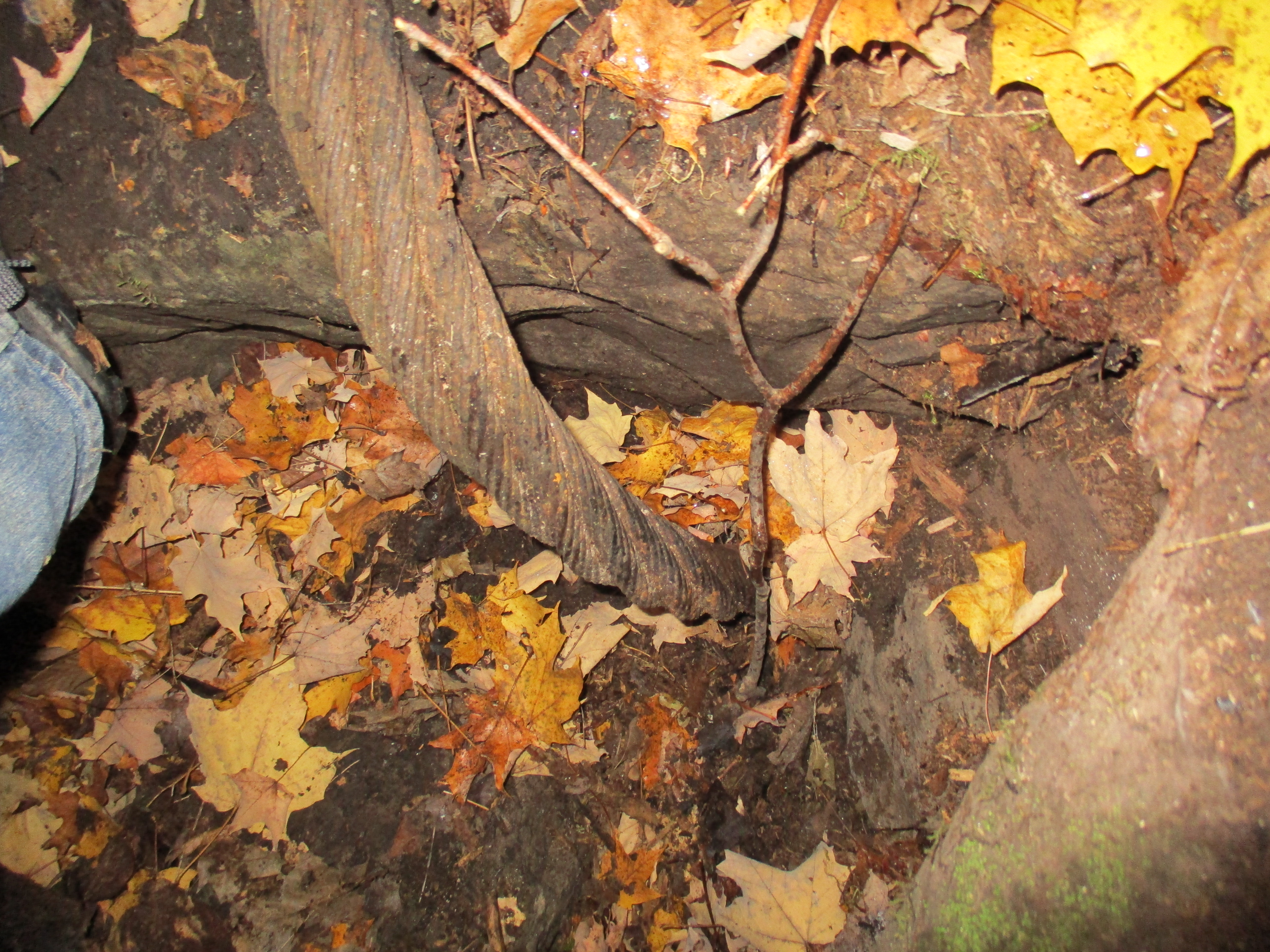
The Cox Property is the east half of lot 9 concession 4 while the west half of lot 9 is the Willoughby Property which features the Stonecutter’s Dam.  Both properties are owned by the Credit Valley Conservation Authority.  The CVC has taken a “hands off” approach to managing the Cox property.  No formal trails have been established and the area is being allowed to return to it’s naturally vegetated condition.  Almost immediately we found an area of disturbed rocks where steel rails could be seen underneath.  After a brief investigation we located the two inch steel cable from the tramway running through a chamber below ground.

IMG_0885

A little farther along several steel railway rails have been exposed.  These rails support chunks of stone that hide the chamber below where the cable runs.  Inside, the curving end of the tramway cable can be seen.

IMG_0904

I climbed into the chamber that the cable ran through.  After cleaning a bit of debris away I still couldn’t see where the cable went as it curved around a large block of cut stone and down deeper into the underground chamber.  Without preparations, or permission, it wasn’t possible to dig all the stone fill out of the chamber and discover if the cable turns on a hidden drive below.  The cover photo shows the cable from inside the chamber looking to the east where it entered this end of it’s route.  The walls are lined with cut stone and the roof is supported on a series of steel rails.  Above ground the rails are covered with a layer of stone that has been spread over the top.

IMG_0902

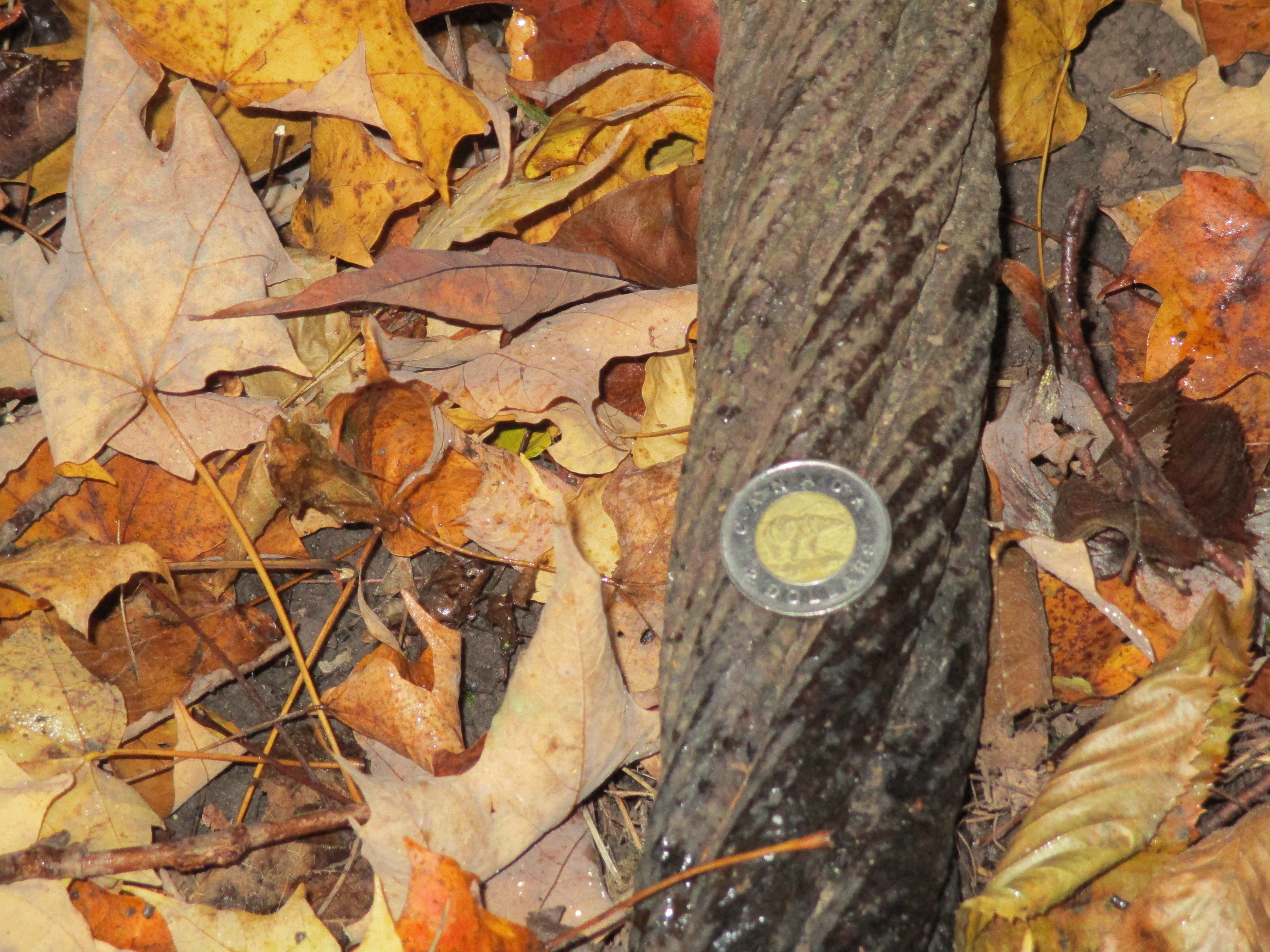
The steel wire rope used on the tramway had a two inch diameter as can be seen relative to the 28mm (1.1 inch) coin in the picture below.  The rope appears to have a 6 X 7 construction which means that it has 6 strands made of 7 wires each.  The six strands are wrapped around a central core. Without seeing a cross section it isn’t possible to determine of there is a 7th strand in the core making it a 7 X 7 rope.  Using 7 wires per strand allows for larger outer wire diameter which greatly improves abrasion resistance but reduces flexibility.  The wires in the strands of this rope run in the same direction as the stands and this is known as a “lang lay”. Depending on the exact construction this wire rope should have a breaking strength somewhere between 175 and 200 tons.

IMG_0915

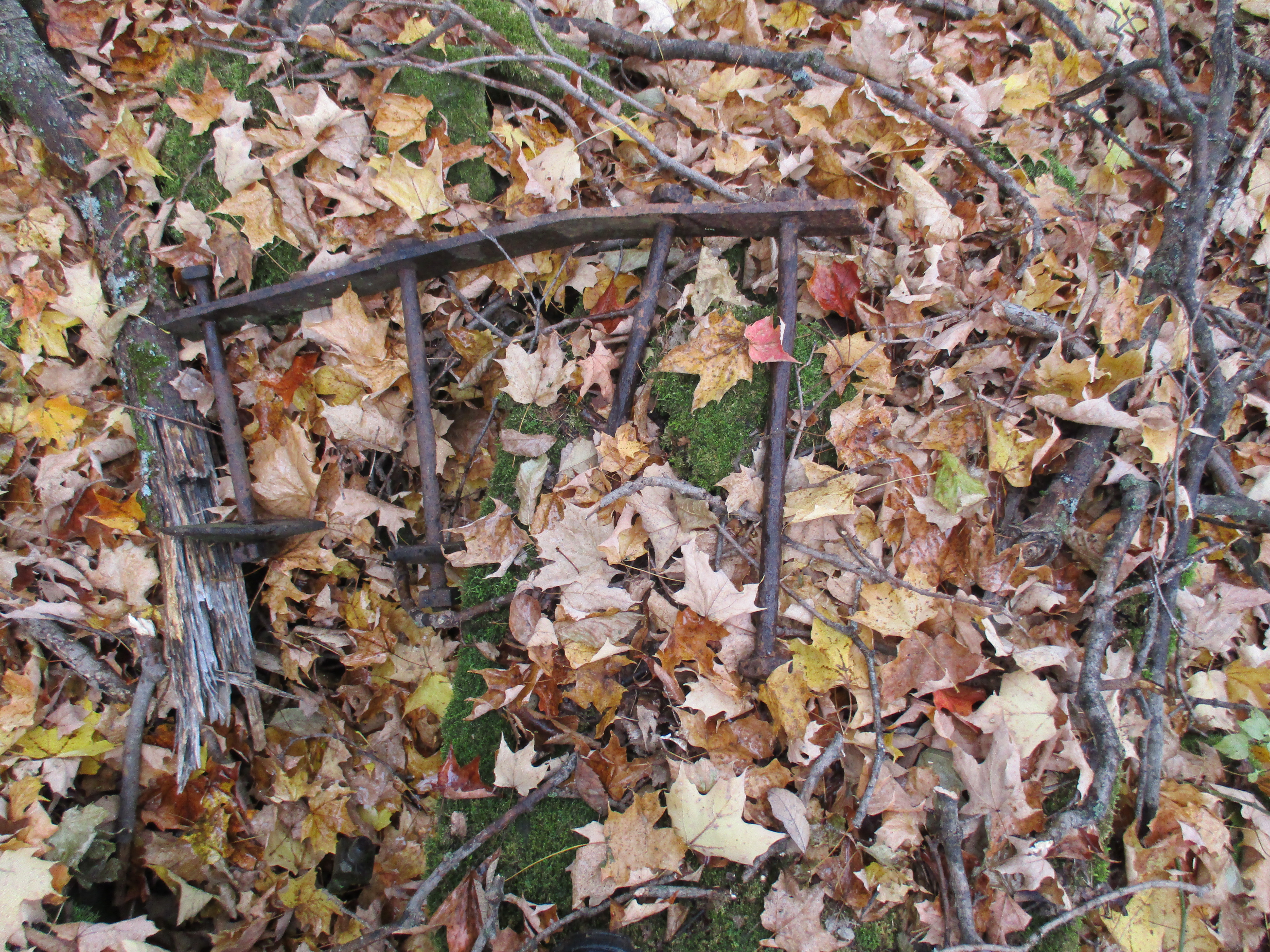
Other evidence of past industrial use of the land is seen in the remains of a steel ladder.

IMG_0913

There is a small patch of horsetail growing on the side of the hill and most of it has been chewed off.  White tail deer will sometimes eat horsetail and we saw the departing end of a deer as we came through this part of the woods.

IMG_0907

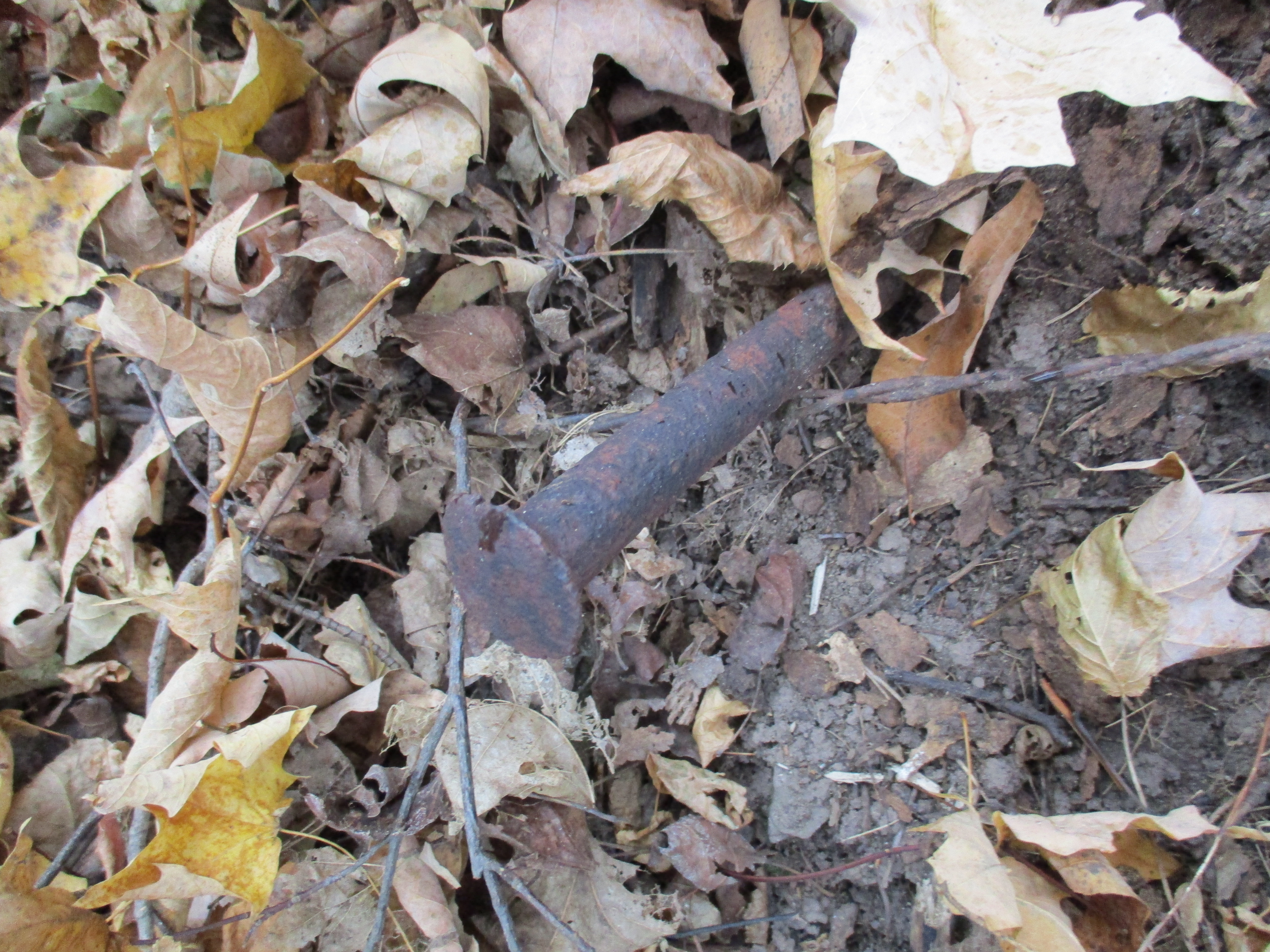
Stone was brought from the quarry on the other end of the tramway and unloaded to waiting train cars on the CPR.  A large steel spike is seen protruding out of the side of the hill near where the tramway ended. This spike is similar to the ones I saw on the 1855 Gore and Vaughn Plank Road I reported in Dufferin Creek.

IMG_0912

The Cox Property was the site of quarry number two as well as several smaller quarries.  The picture below shows the face of one of the smaller quarries.  We found various metal and wire scraps in this overgrown quarry.

IMG_0927

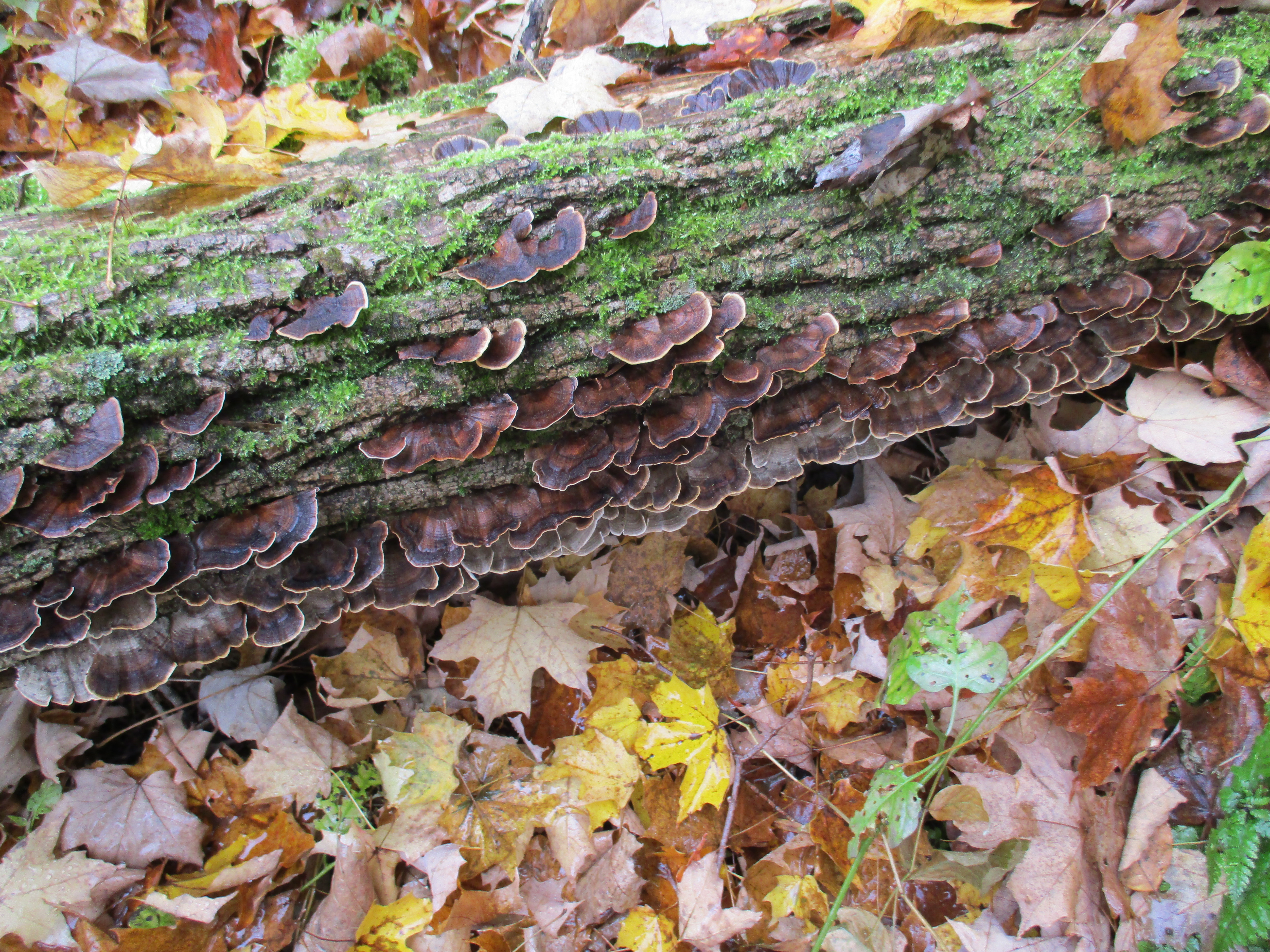
Turkey tail fungus is known by the scientific name Trametes Versicolor and it grows on fallen hardwood and stumps.  This fungus contains a protein called PSK which has been shown to have anti-cancer properties.  It inhibits growth of breast and lung cancers as well various ones in the digestive system.  Treatment with turkey tail proteins has shown very little negative side effects.

IMG_0929

The eastern end of the tramway was at a much higher elevation than the western end and I could see that cable making an excellent zip-line across the Credit River valley.  This picture looks from near the terminus on the Cox Property across the valley to where the steam boiler that powered it hides at the other end.

IMG_0892

The Caledon aerial tramway has given up some of the secrets it guarded for the past century but I suspect that there is even more buried in that underground chamber.  The Cox property also contains a couple more quarries and access roads but after a couple of hours of non-stop rain, we decided to call it a day, leaving the rest for another time.

Please note that the Credit Valley Conservation considers this property to be private and as noted above, no trails are maintained on it.  Access to the property is by permission only.

Like us at http://www.facebook.com/hikingthegta
Follow us at http://www.hikingthegta.com


Abandoned Passmore Avenue

Sunday October 11, 2015

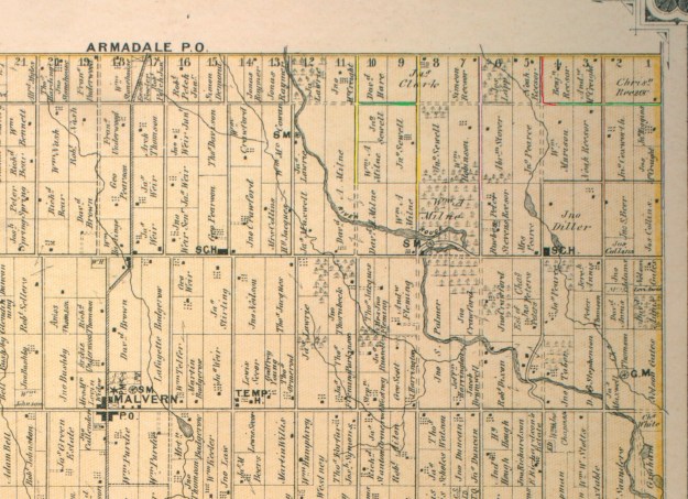
Passmore Avenue was never completed as a continuous road but today it has become even more fragmented.  I set out on Sunday afternoon to hike through the sections which had once been opened and are now closed (marked in green on the map below).  Passmore Avenue , also known as the 5th Concession, ran from The Scarborough – Pickering Townline to where the 404 now lies. Parts of it are still open under other names, including Gordon Baker Drive which lies on the old roadway. From Kennedy Road to Midland it still bears the name of Passmore Avenue. At Markham Road there are still sections running both east and west known as Passmore Avenue.

Steeles Avenue runs across the top of the 1877 historical atlas pictured below.  Passmore Avenue runs one lot below except where the line is dotted indicating that the road allowance was never opened.  The Rouge River cuts through the centre of the map between lots 12 and 13 (numbered along the top).  Between lots 10 and 11 runs Littles Road (yellow) which has also been recently closed.  It is shown extending one lot beyond Passmore Avenue but the southern portion has been closed so long the farmer has taken it back as part of the field.  The area east between here and the Rouge River is now Cedar Brae Golf and Country Club.

passmore (1)

This picture looks from the end of Littles Road along Passmore Avenue toward the golf course.

IMG_0579

In the field just before the golf club are the remains of a race track for horses.  It was built in 1966 and within 20 years it was gone.  From the ground little can be seen except the remains of the barn and the foundations of some out buildings.  The last three structures on the property were removed in 2002.  This picture is taken from standing on the racetrack looking north to where it curves left just before the trees at the horizon.  The outline of the oval track is still clearly visible from Google Earth.

IMG_0589

Passmore Avenue used to run east from Littles road.  On the county atlas there is a road which runs between lots 8 and 9 and divides John Sewells properties.  Today we call this Sewells Road (orange) and where it crosses the Rouge River on the map is the site of Toronto’s only suspension bridge.  The section of abandoned  Passmore Avenue (green) between Littles and Sewells roads has become fully overgrown.  It is little more than a strip of trees one chain wide (66 feet) along the end of the farmer’s field.

IMG_0592

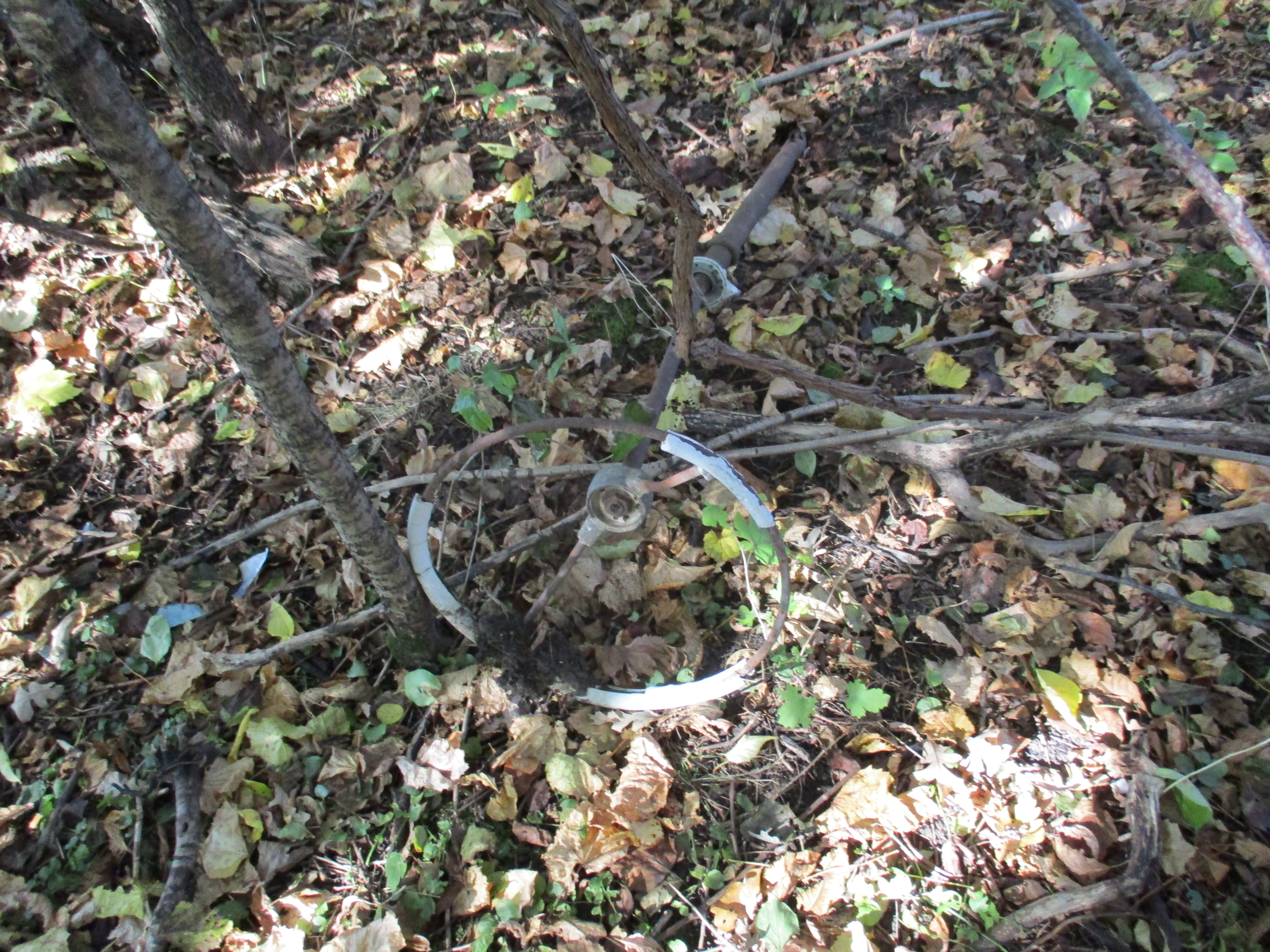
I have walked through this section several times over the years and always find old pop bottles along here.  Today I found a 1962 Pepsi bottle but the condition was poor and I already have a better example.  Like all closed roads they seem to attract people with garbage.  There are the parts of an old truck scattered along the old road allowance.  The steering wheel is seen in the picture below.

IMG_0596

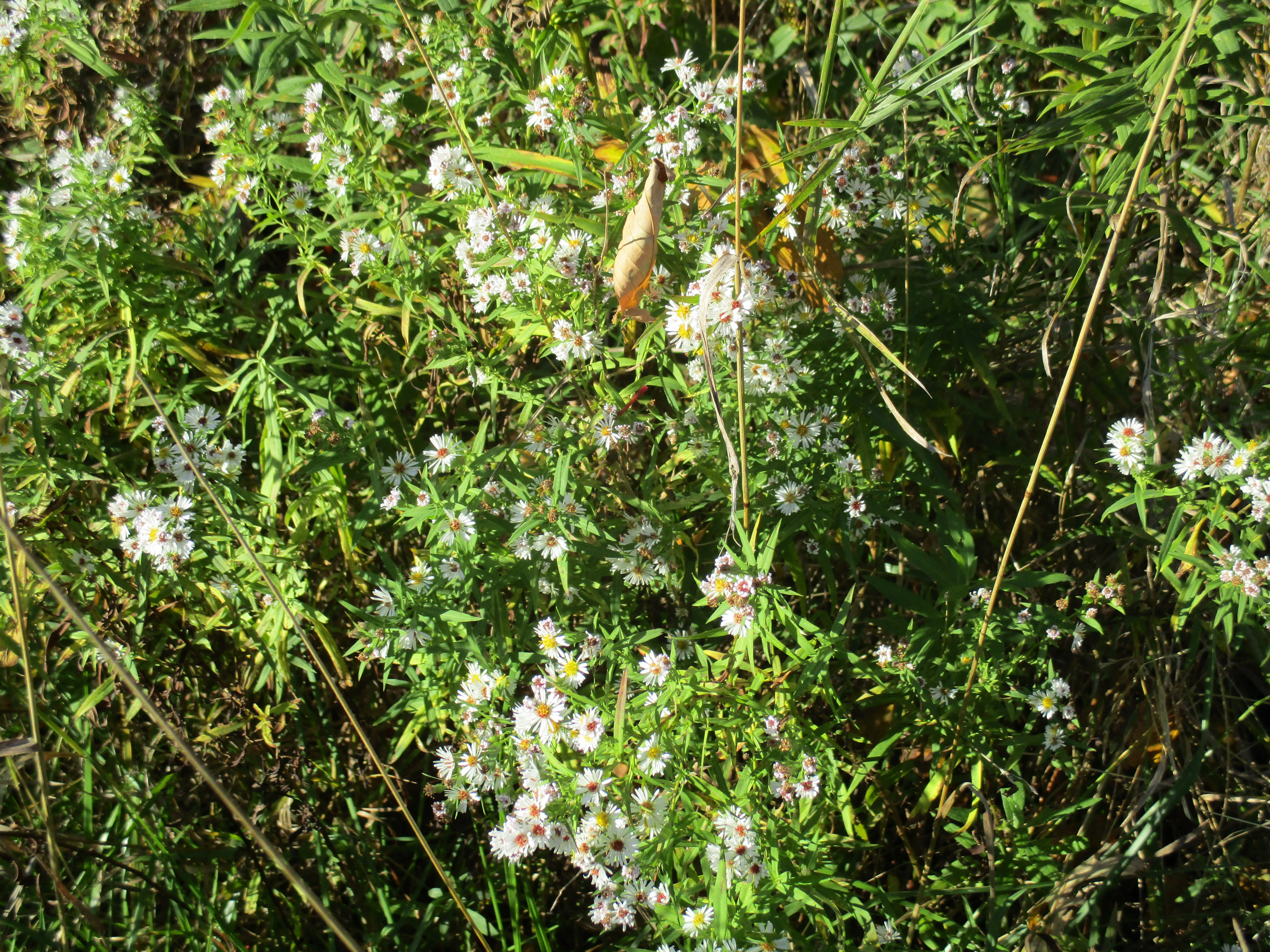
White asters bloom in places along the roadway.  These examples are smaller in size than their purple cousins that are common at this time of year.

IMG_0604

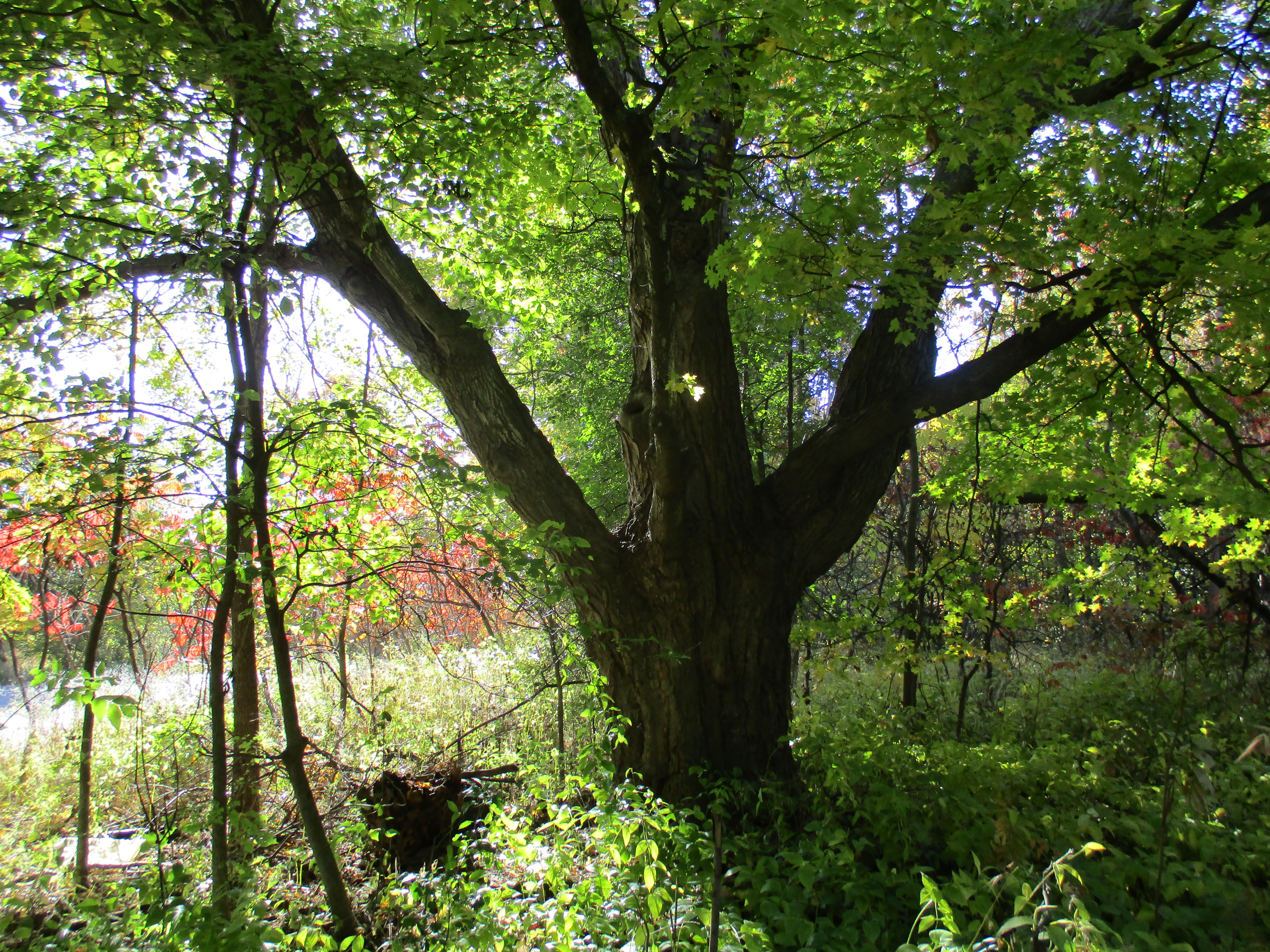
Motorists driving down Sewells Road would never see where Passmore Avenue emerges from the woods.  Two large trees stand guard over either corner of the former roadway and it’s intersection with Sewells Road.  The tree featured below is the southern of the two and has seen the transition from horses to model T’s and now to only the occasional hiker.

IMG_0609

The section of road along lots 7 and 8 was never opened but lot 7 was one of several owned by the Reesor family who lend their name to Reesor Road (pink).  I returned to the car and moved it to Gordon Murison Lane (red) which runs between lots 4 and 5 and leads to William Murison’s farm on the county atlas.  At the curve it joins Passmore Avenue and I parked where the maintained road ended.  I spoke briefly with the people who live in the old Murison home and they feel that the old roadway is now private property but have not posted it as such.  I walked from here through to the town line which is on the right side of the atlas pictured above.  The road allowance from the Murison’s through to Beare Road (brown) is a regularly used trail with the eastern section servicing a few houses.

IMG_0616

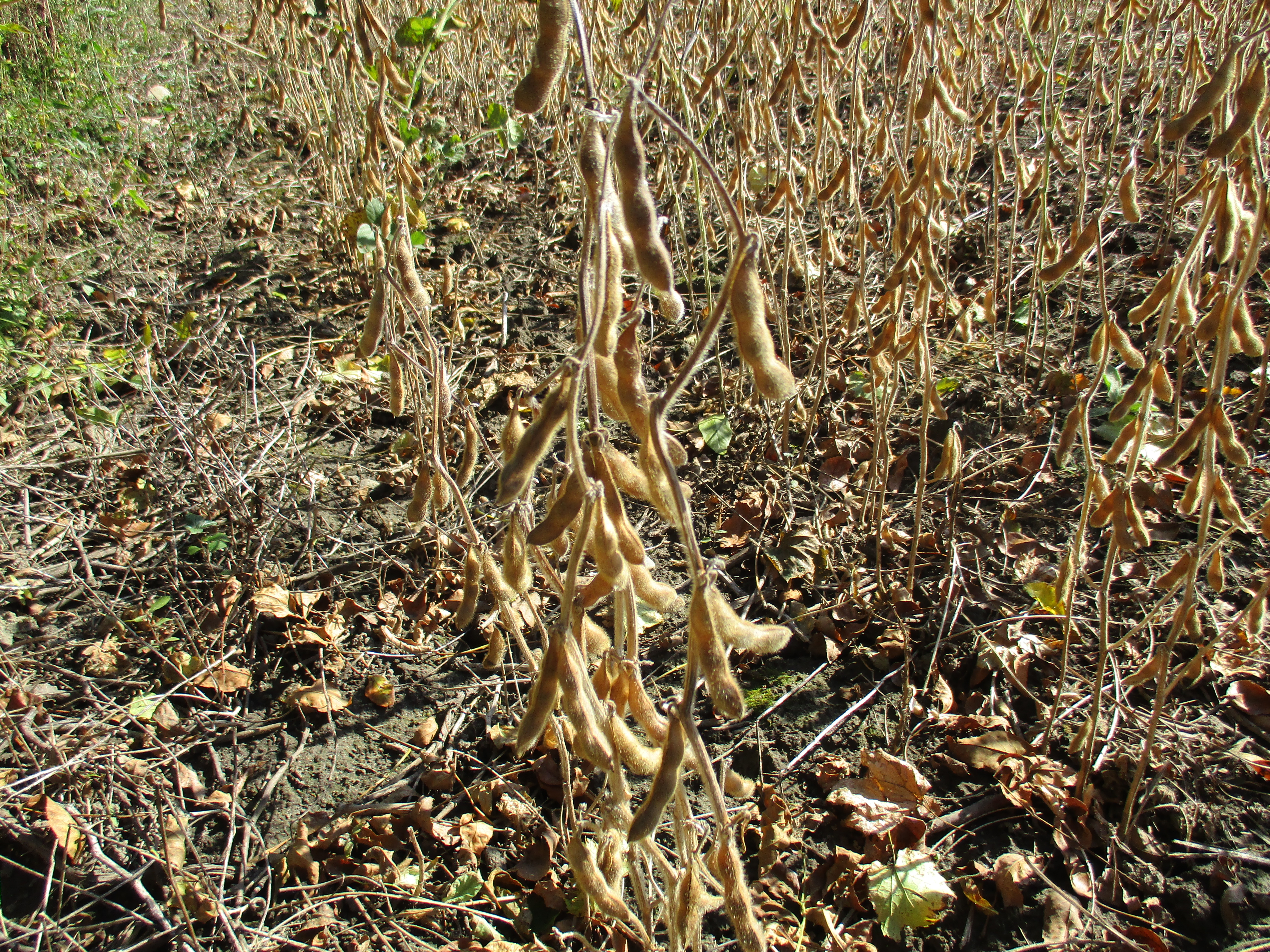
The final section between Beare Road and Town Line (grey) is almost impassible.  Dog Strangling Vine has taken over the most of the old road allowance.  This invasive weed wasn’t here when I last hiked this section in 2011.  I decided to make my way along the edge of the roadway because walking through the vines at this time of year helps spread the seeds.  Soybeans are being grown in the adjacent field.  Per acre, soybean produces more protein than most other land uses.  Some studies suggest that men who eat a lot of soy products may have a lower sperm count and it is not recommended for those hoping to conceive.

IMG_0623

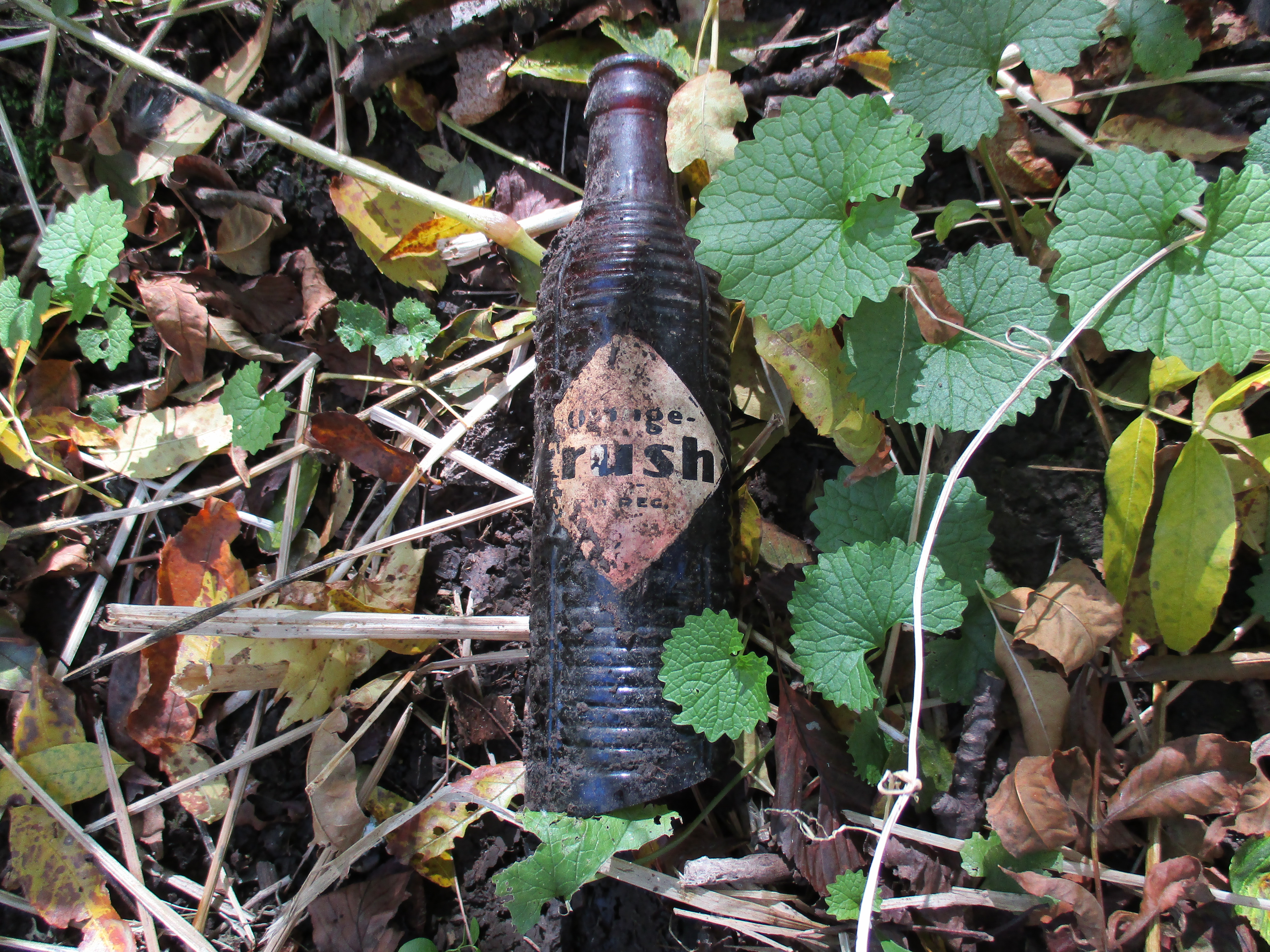
Orange Crush was sold in small brown bottles following World War two until 1958 when the new clear Marilyn Monroe bottles were introduced.  These brown bottles were described as able to “protect the fresh fruit flavor from the harmful effects of light.”  I found a bottle that was, unfortunately, missing the bottom.  The applied colour label was badly faded on the side that was facing down (shown) and completely missing on the exposed side.

IMG_0630

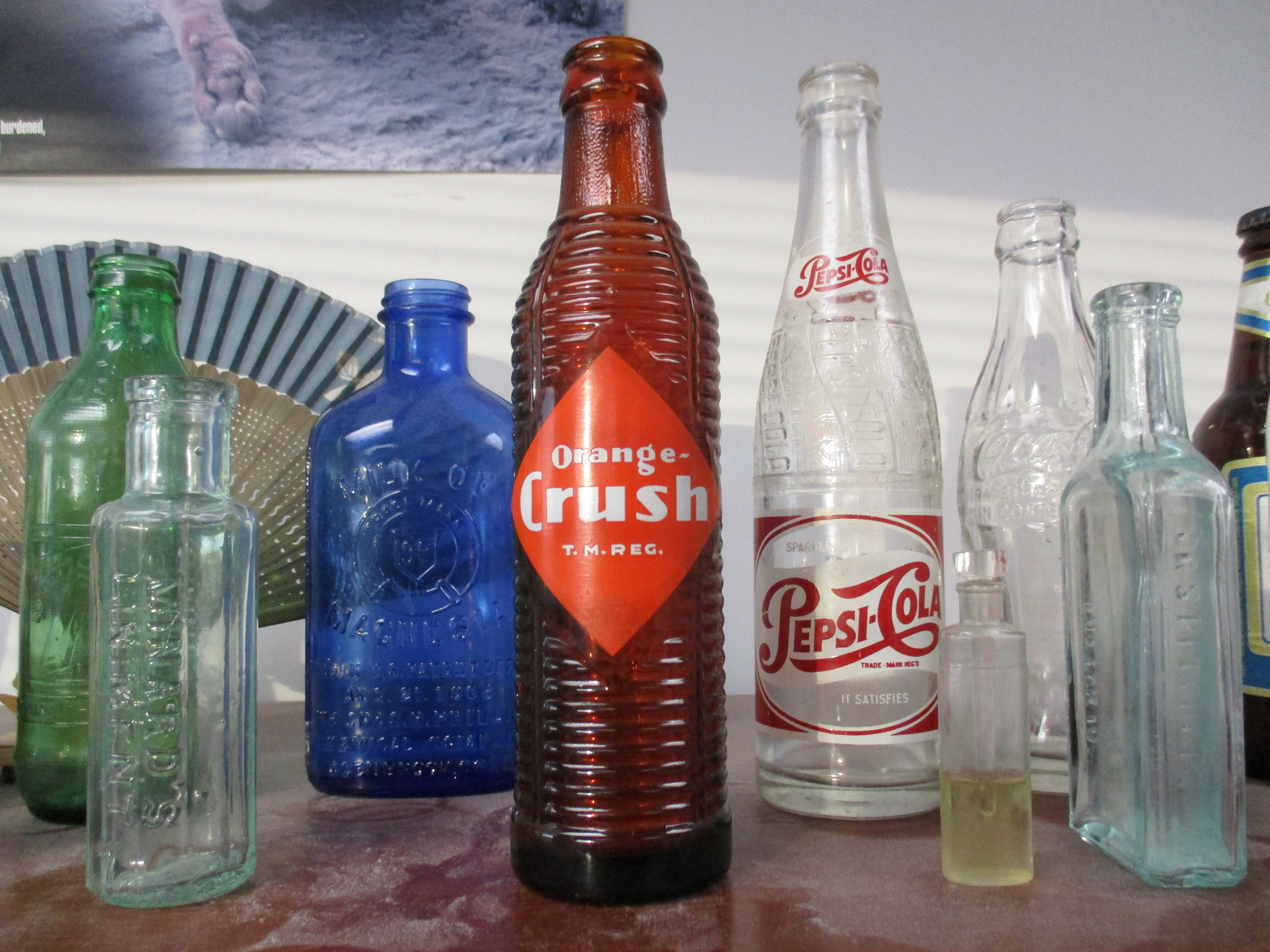
When it was new the Orange Crush bottle would have  looked like the one I have on my desk at work. From left to right a 1970 no return 7-Up, 1860’s Minard’s Linament, 1906 Milk of Magnesia, 1949 Orange Crush, 1953 Pepsi, 1880’s perfume sampler, 1956 Coke, 1860’s Pitcher’s Castoria and a 1984 Labbatt Blue bottle complete this picture.

IMG_0724

A pair of abutments is all that remains where Passmore Avenue crossed Petticoat Creek.  There isn’t much water in here at the moment but at times there must be a fair bit.  The short span of the bridge can be seen in the cover photo.

IMG_0640

Passmore Avenue never ran the full length of Scarborough Township and several sections have since been closed.  Those sections make for an interesting hike where I always see something new each time I explore.

Like us at http://www.facebook.com/hikingthegta


Toronto’s Only Suspension Bridge

Sunday Oct. 5, 2015

The Rouge River flows between two historically significant bridges in Scarborough.  I decided to try to hike the river from one to the other.  I parked on Sewells Road a little north of the suspension bridge.  It was a nice fall day with temperatures in the “no bug” zone of 12 degrees.

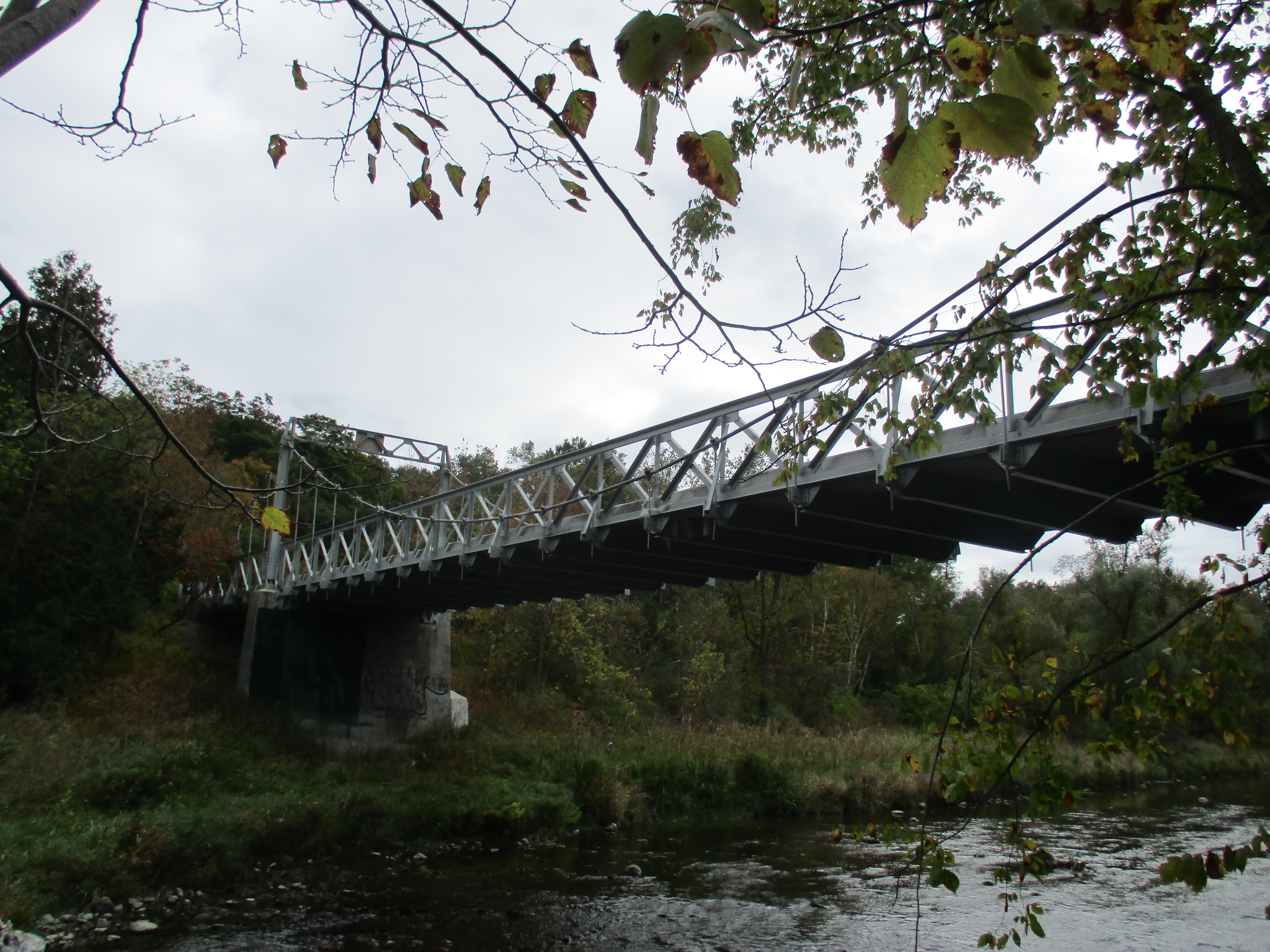
Frank Barber (1878-1945) was a civil engineer who designed several bridges in Toronto including the Middle Road Bridge (1909) and the bridge at the Old Mill (1916) both of which were visited in previous posts.  In 1912 he designed the suspension bridge across the Rouge River on Sewells Road.  At the time, Toronto was expanding and access to new parts of the city was restricted by the deep ravines of the Humber, Don and Rouge Rivers.  This was one of the early bridges to provide a permanent crossing to the river in this area.

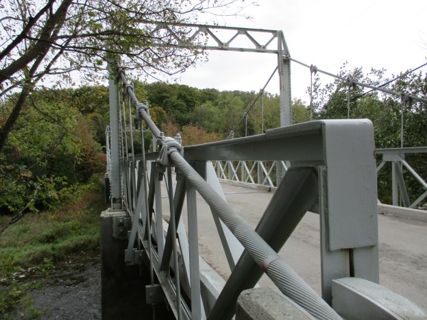
Suspension bridges are normally a solution for major waterways or wide valleys but this one is just 160 feet long. The bridge deck is concrete suspended 13 feet above the river by two cables securely anchored into the ground on either end. The cables are seen in detail in the cover photo.  These cables bear the load of the bridge which is suspended on hangers or vertical rods.  Barber completed the bridge in 1912 and it was restored in 1981.  It is one of only a few suspension bridges in Ontario and the only one in Toronto.  It is also one of 15 bridges listed as heritage properties by the city.

IMG_0527

Under the bridge is the distinctive nest of  the organ pipe mud dauber wasp.  This is an unusual wasp in that the male stands guard at the nest while the female gathers food.  One of the main food sources is spiders.  The wasps are about an inch long and as such are the largest of their species.

IMG_0533

Also under the bridge is the Google logo which is a rare example of graffiti that can actually be read.

IMG_0531

Rough Cockleburs grow along the side of the Rouge River.  This member of the aster family doesn’t have the usual wind blown seeds.  Instead, it spreads through seeds that grow inside of oval heads that are covered with spines.  They get caught in animal fur and clothing and can be carried long distances.  The cocklebur is also related to the sunflower and daisy and has been used for it’s anti-inflammatory and antimicrobial properties.

IMG_0537

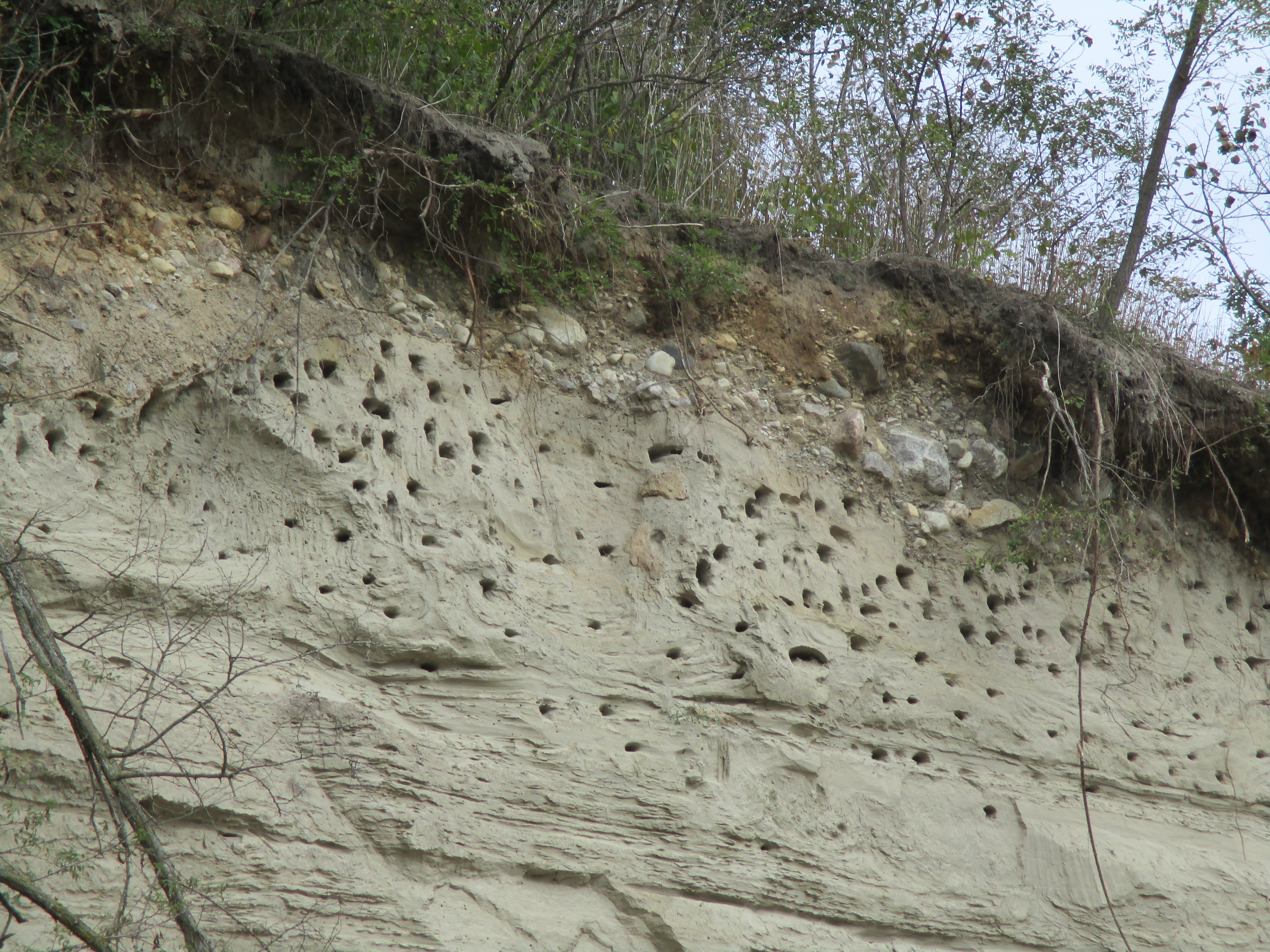
I had chosen to try to follow the west side of the Rouge because a thirty foot sand bank on the east side of the river can be seen from the road.  As you get closer you can see that there are hundreds of Sand Martin holes along the edge of the cliff.  These birds dig winding holes into the side of the sandbank where they are difficult for predators to reach.  There is a large breeding colony living in this embankment.

IMG_0540

After disturbing a Great Blue Heron and traversing a mess of poisonous wild parsnips I discovered that there is an even taller sand bank on the west side.  It may be possible to pass on the edge of the river, but not when hiking alone.  The strip along the water’s edge is made of material that has fallen down the face of the sand bank and may not be very stable in spite of the thin vegetation growing on it.

IMG_0544

My attempt to make my way downstream to the second local bridge of interest wasn’t successful and so I moved my car to the Rouge Park Finch Meander Area parking lot.  Near the parking on Old Finch Avenue is a tree with a large number of artist conks growing on it.  They can be picked and the white underside scratched to produce pictures or writing which turns brown as the conk dries.  The surface then becomes hard and the artwork is permanent.

IMG_0559

On October 15, 1954 Hurricane Hazel landed in Ontario bringing heavy rain and strong winds and taking 81 lives in it’s wake. Rivers across the GTA flooded and bridges were destroyed or damaged on every major waterway.  Sections of the city were isolated and traffic flow was severely affected.  To get people moving again the army was called in to help build temporary bailey bridges.  Only one of these remains in service in Scarborough and it is the one on Old Finch Avenue.  It is 130 feet long and, along with the wood piers in the middle, was constructed by the 2nd Field Engineer Regiment in just 3 days.

IMG_0561

Like us at http://www.facebook.com/hikingthegta

The Strawberry Fields Weren’t Forever

Saturday October 3, 2015

The Trafalgar, Esquesing and Erin Road Company established a toll gate on Trafalgar Road in Oakville near the present site of Inglehart Street.  Tolls were collected to pay for the maintenance of the plank road that was to be built from Oakville to Fergus.  We decided to return to Sixteen Mile Creek and continue north from Kerosene Castle, hiking on the east side of the creek.  We parked on Inglehart street near Trafalgar.  It was cloudy and windy with a temperature of only 7 degrees.

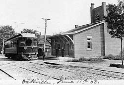
The Hamilton Radial Electric Railway Company was chartered in 1893.  In 1905 it was extended to Oakville and a large steel bridge was constructed across Sixteen Mile Creek.  The Oakville station is seen in this archive photo as it appeared in 1908 with one of the electric cars in front.

RadialStationhistoric1

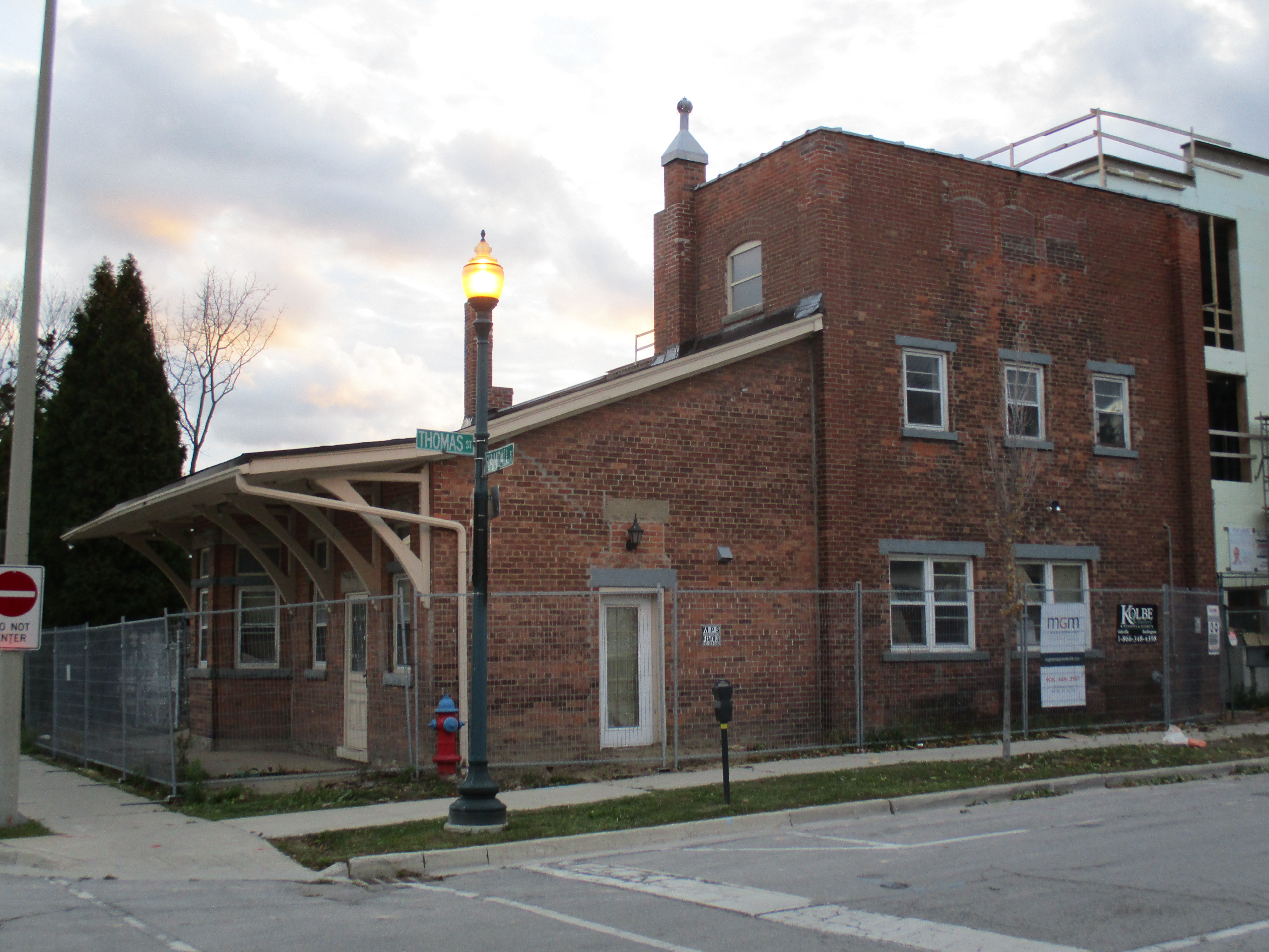
The Oakville station is the only remaining one on the line but the building is abandoned today and has some broken windows on the front.  We took a short trip down to the site of the old station before starting our hike.  Some windows have been added to the rear portion of the building but otherwise it retains it’s original charm.

IMG_0412

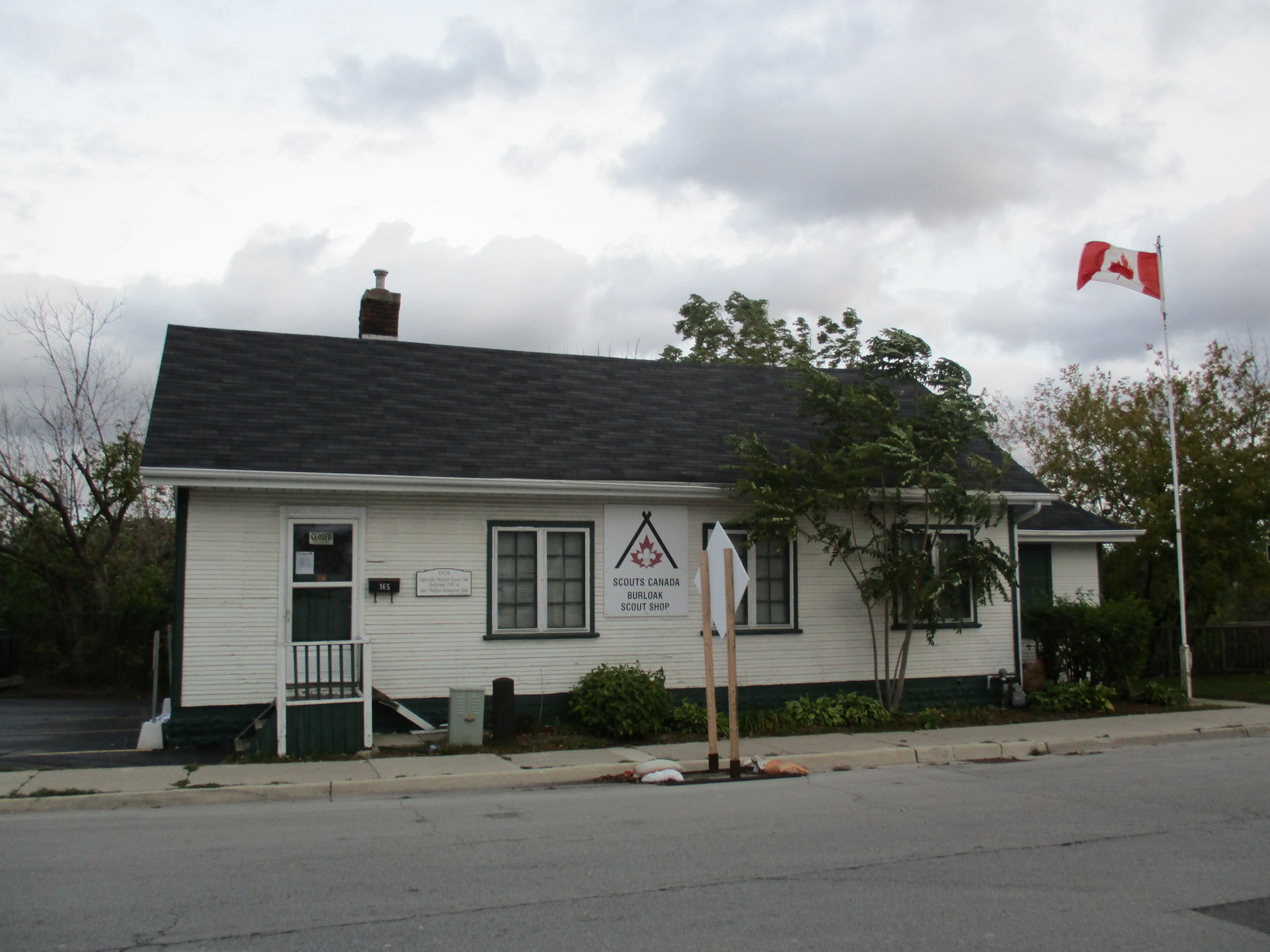
Directly across the street from the train station is the Scout Hut built in 1926.  The location is perfect since Scouts were expected to be well trained.

IMG_0414

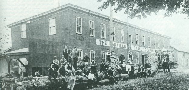
John Cross introduced the growing of strawberries to Oakville.  He found that the fruit grew wild in the area and was easily cultivated.  Soon others were following suit and by the mid 1870’s Oakville was the primary strawberry production area in the Dominion of Canada.  The delicate fruit was easily damaged and so to support it’s storage and transportation a local basket industry developed.  Cross designed a wood veneer basket that he produced.  Soon John A. Chisholm opened his own basket factory and expanded operations in 1874.  His son, Charles, invented a machine to slice wood veneer for the baskets.  By 1877 there were almost 750,000 fruit baskets being produced each year in Oakville.  In 1889 he sold the business which was re-named the Oakville Basket Company  three years later.  Although it was destroyed by fire twice it was rebuilt each time.  It operated until 1984 when it was finally shut down.  In it’s later years all the local strawberry fields had been subdivided for housing and so the factory produced Popsicle sticks and tongue depressors.  The drive wheel from the steam generator has been preserved and is located in Old Mill Parkette.

IMG_0504

We descended to the level of the creek soon after we crossed Trafalgar and began to make our way upstream. It was a windy morning and we were watching the wind burst in sudden swirls on the surface of the water.  Suddenly we heard a loud crack from directly across the creek and looked in time to see three quarters of a large tree collapse to the right.  As it came to rest the remaining section topped in slow motion to the left.  In all my time spent hiking in the woods this is the only time I’ve witnessed a tree fall and it most certainly does make a noise.  The broken and twisted remains of the tree stump can be seen in the picture below.

IMG_0418

Cormorants were fishing in the Sixteen Mile Creek.  The rock on the right in this picture had three of them standing on it at one point.  As they flew away they almost skipped across the top of the water like a flat stone.  The bird on the wing below slapped the water fast enough that the spray from the previous two impacts hasn’t settled back into the creek yet as it reaches for the next wing flap.

IMG_0437

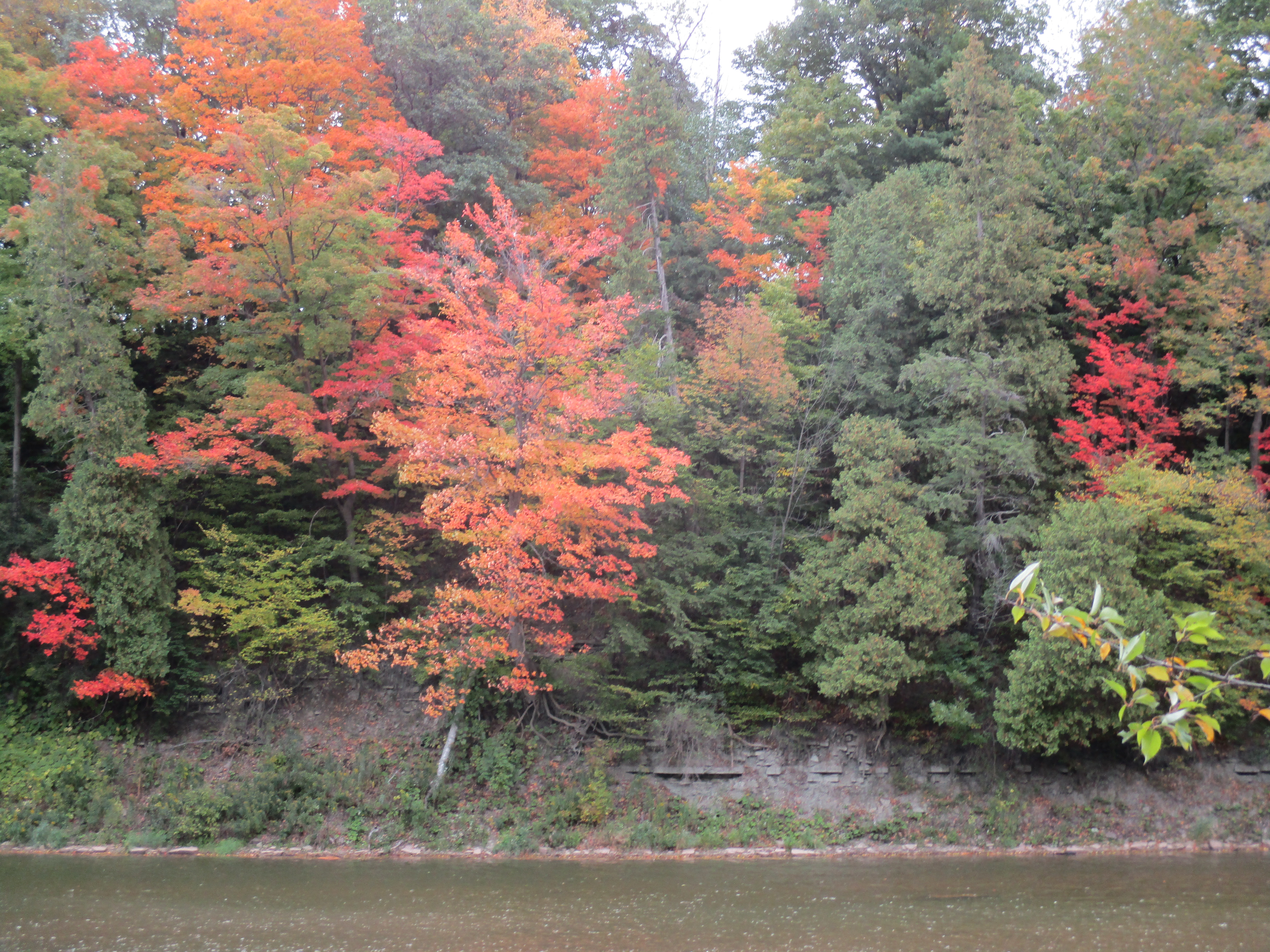
The fall colours are still not at their prime but there are places where the display is beginning. The trigger for change is the shorter hours of daylight which causes the change to happen at nearly the same time each year, regardless of the temperature.

IMG_0448

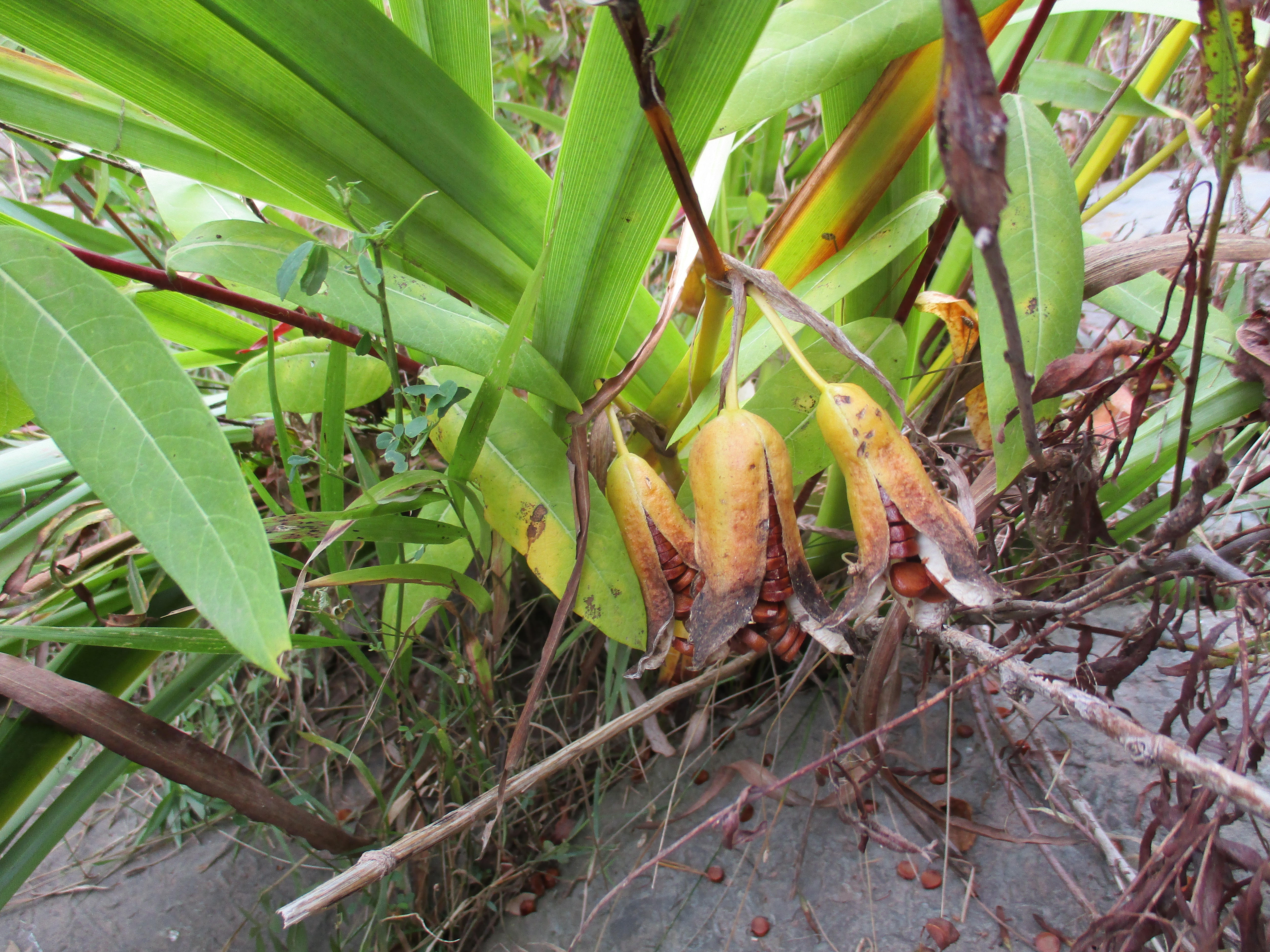
The yellow iris has seed pods that contain rows of brown seeds.   These seeds react to the freezing and thawing cycle in the spring to wake them from their dormant state.

IMG_0479

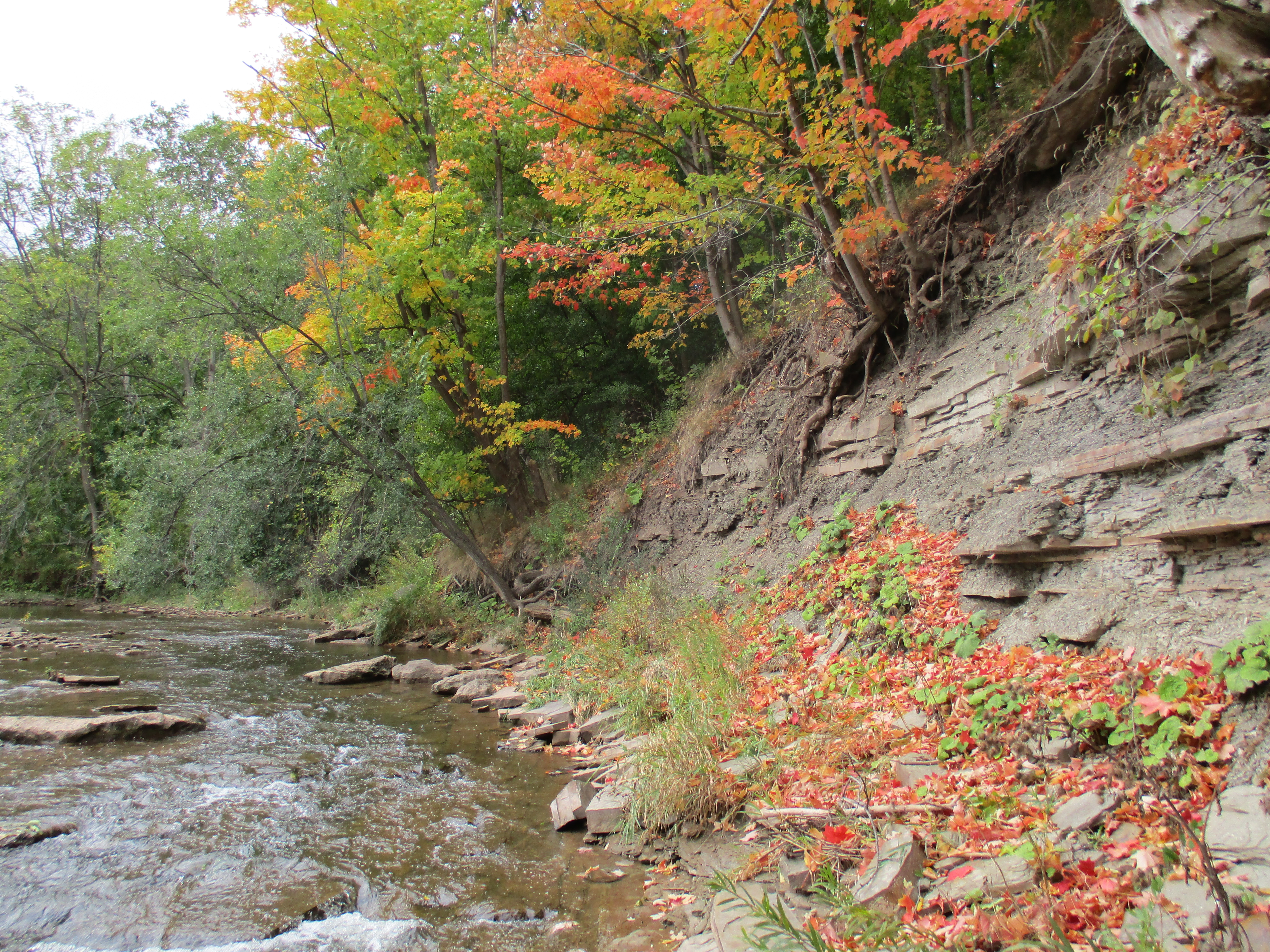
We made our way along the shale embankment on the east side of the creek.  There were many places where we had to go part way up the embankment to get around a fallen tree or a place where there was no footing at the water’s edge.

IMG_0481

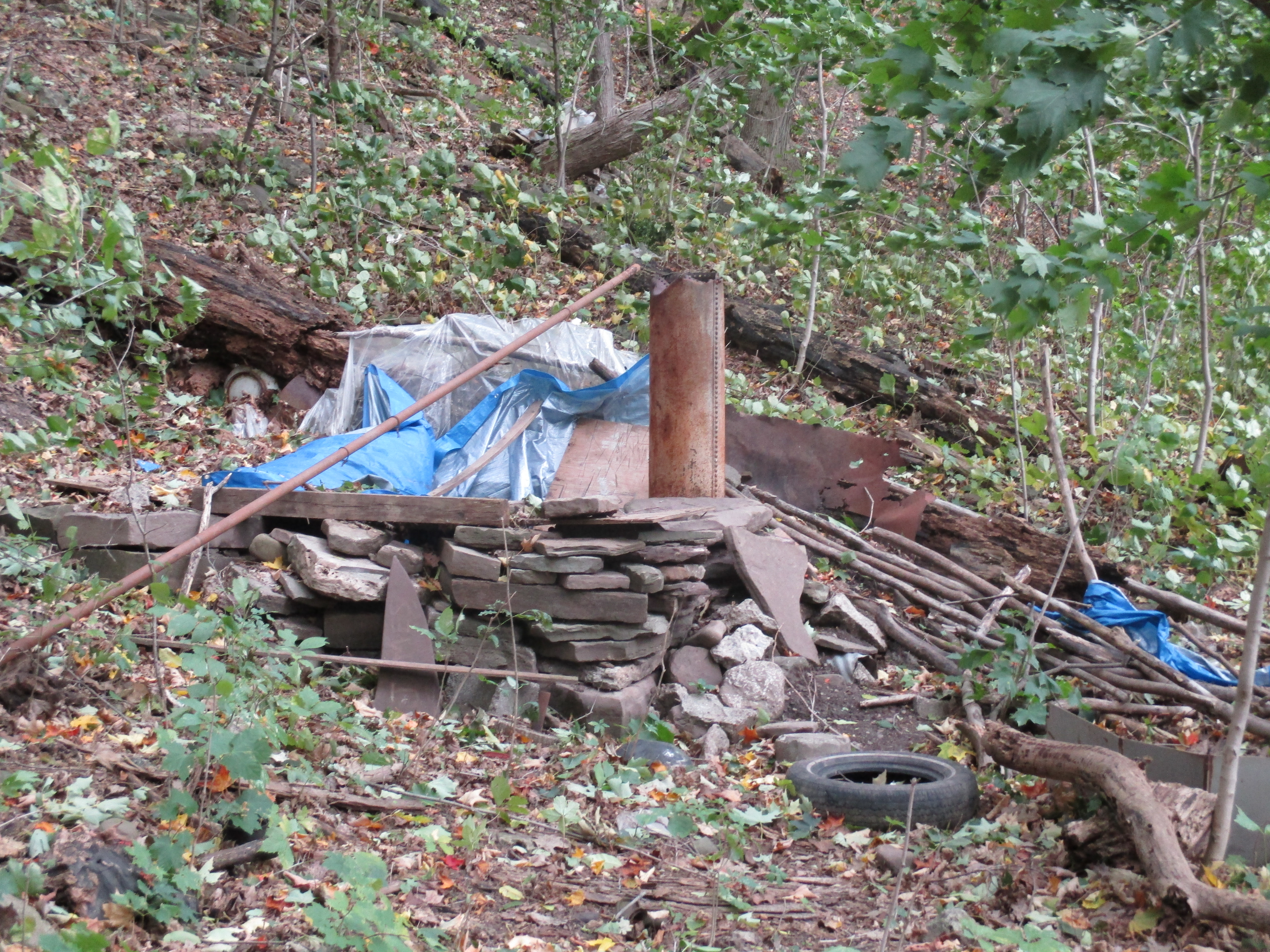
It’s quite common to find the remnants of some person’s temporary shelter in the woods. Seldom do they take the time to build from shale and have a more durable home complete with a fire place.

IMG_0482

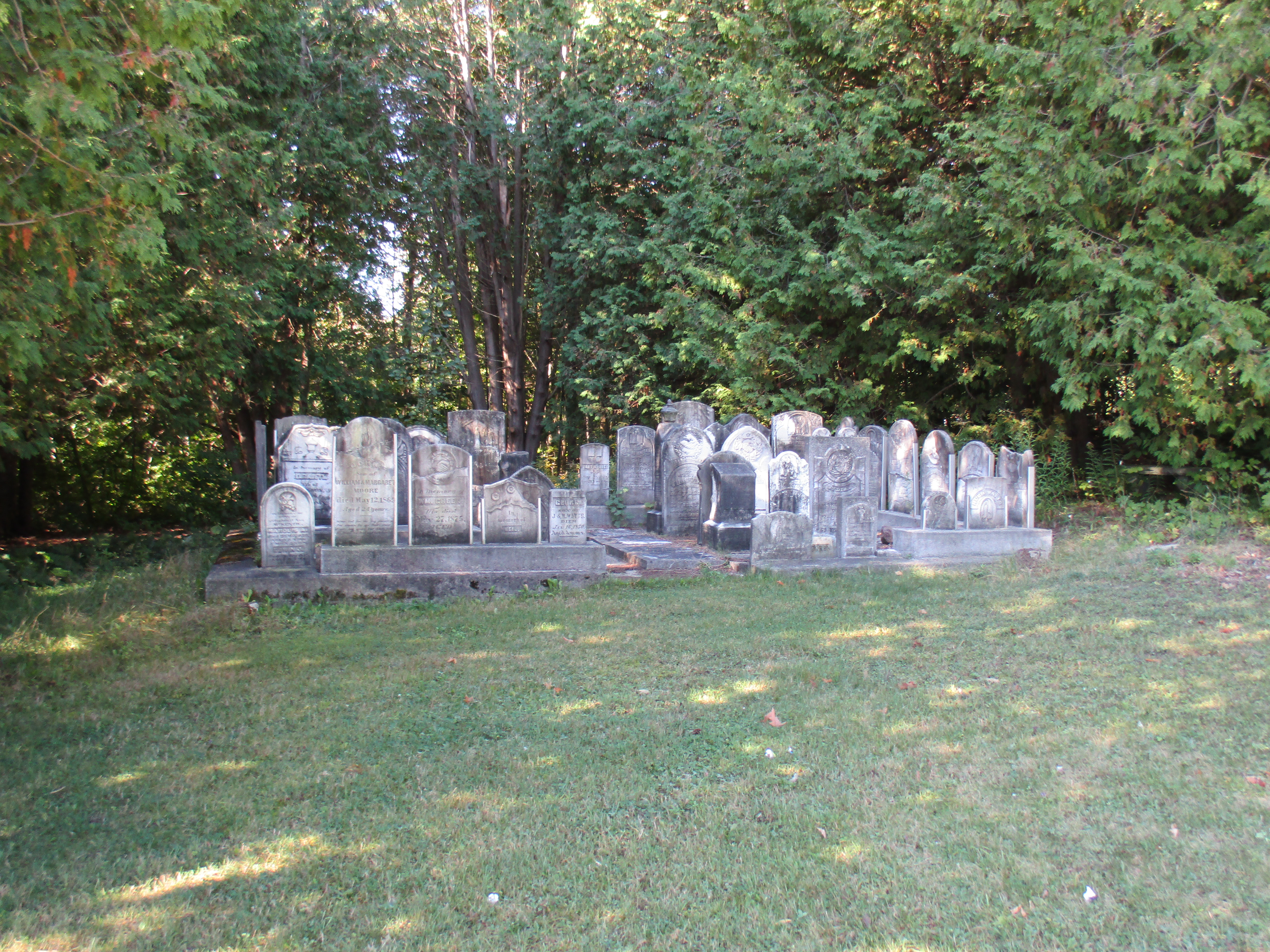
A little past the shale home in the woods we decided to climb the hill where we found the Oakville St. Mary Pioneer Cemetery.  This cemetery contains Oakville’s founder William Chisholm and the first mayor George King Chisholm in a separate family plot surrounded by a wrought iron fence.  Like most pioneer cemeteries there is a tale of premature death and the loss of infants.  There are several stones here that record the tragic loss of multiple children within a family.  Weather has eroded some of the earliest stones until they’re almost illegible but the bold and deep carving of this one will last for many more centuries.

IMG_0492

We walked along the historical trail on the way back to the car.  It follows the street and is far less challenging than the arduous journey along the edge of the creek. Looking down at the curve in the creek where we had been climbing it was obvious that this is not a hike to be undertaken alone or by those just starting out.

IMG_0503

Much of the industry in Oakville was located on the west side of the creek and so a future journey may undertake to see what remains from this period.

Like us at http://www.facebook.com/hikingthegta
The Royal Oak Of Speyside

Saturday Sept. 26, 2015

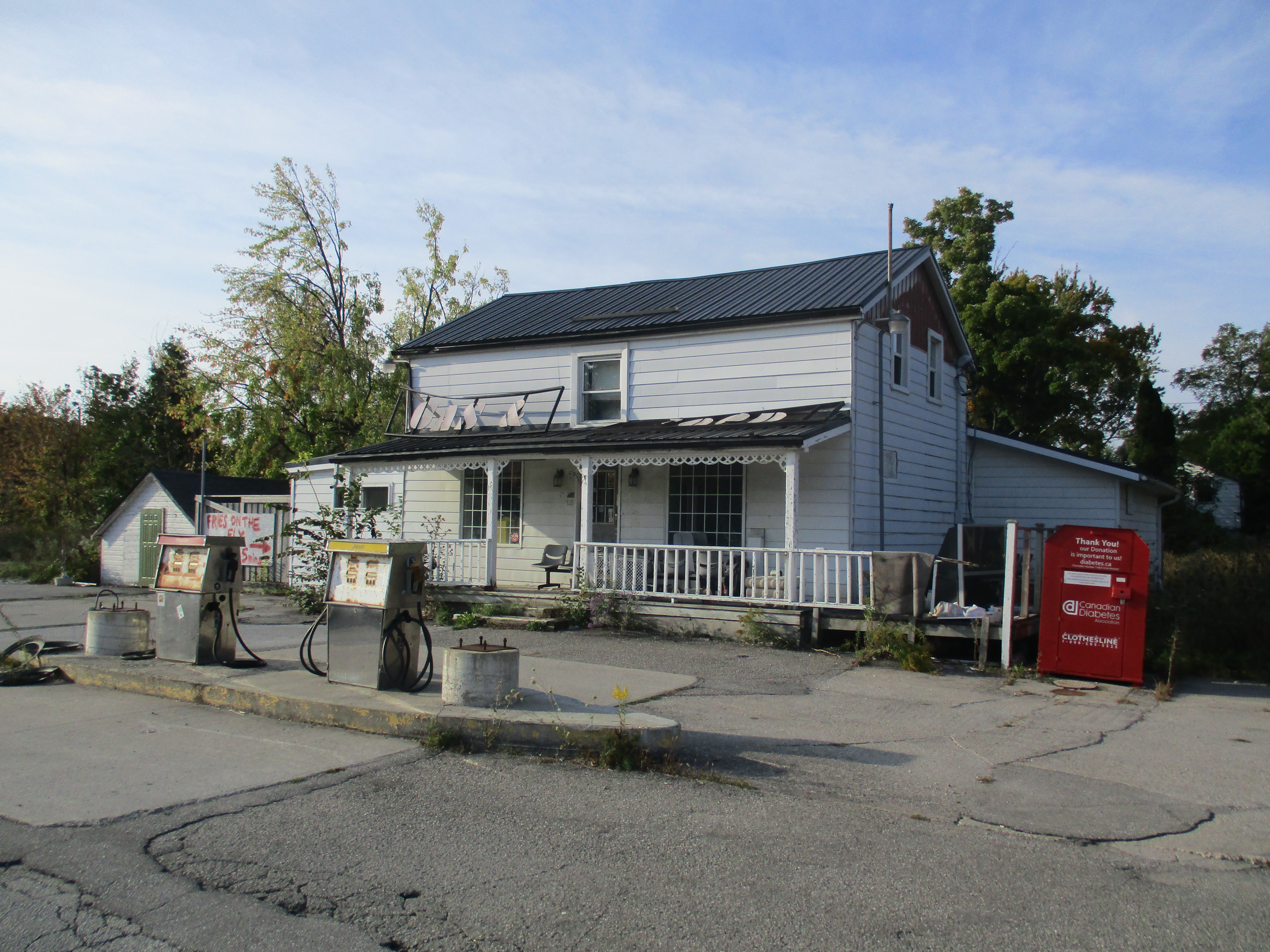
Speyside is a ghost town.  Of the once thriving village only the corner store remains, and the closed building is starting to decay.  Many such communities dot rural Ontario but what makes Speyside different is it’s Royal Oak tree.  Fall started in a glorious way with sunshine and the early morning temperature of 12 degrees rising quickly.  It made for a perfect morning to go and check it out.

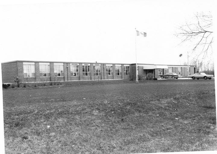
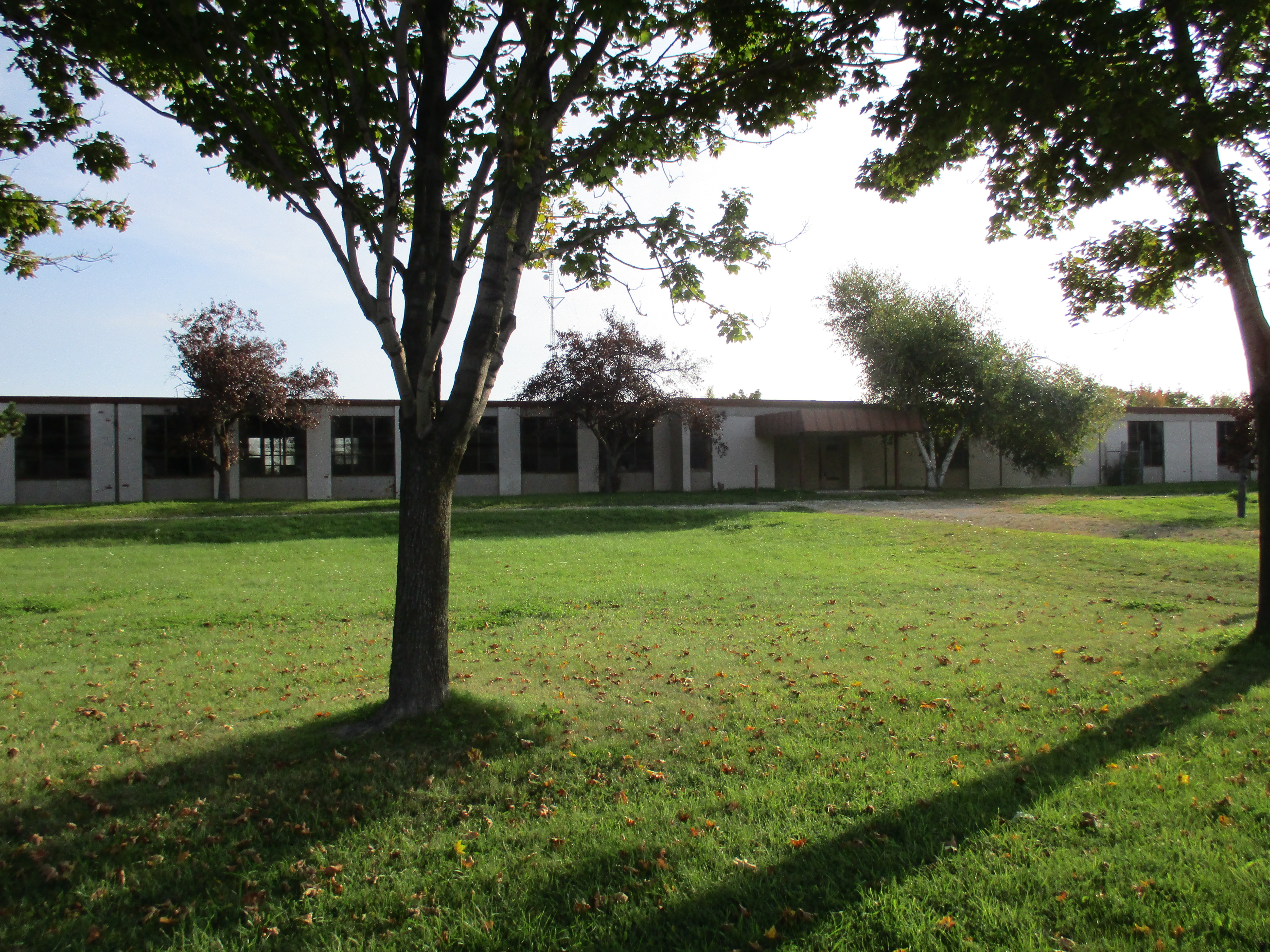
There were five one room schools in the area of Speyside.   These School Sections (SS) were SS #5 Waterloo, SS #8 Dublin, SS #10 Dufferin, SS #12 Lorne and SS #16 Stone.  In 1960 these 5 schools were replaced with the Speyside Public School.  This served until 1986 when it was closed and the students were dispersed between four other local schools.  The building now sits abandoned and is for sale.  The picture below from 1967 was supplied by Marion Frank-Rice who attended the school and can be found along with other memorabilia at   http://www.facebook.com/groups/SpeysidePS

Speyside 1967

The school as it stands today with the addition of extra rooms and wire mesh on the windows.

IMG_0305

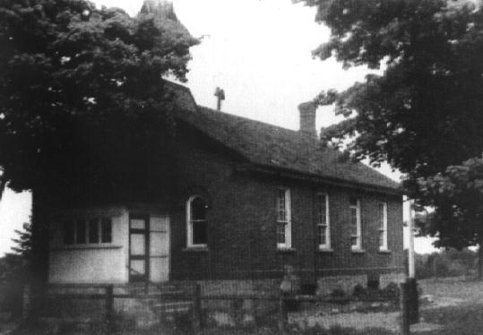
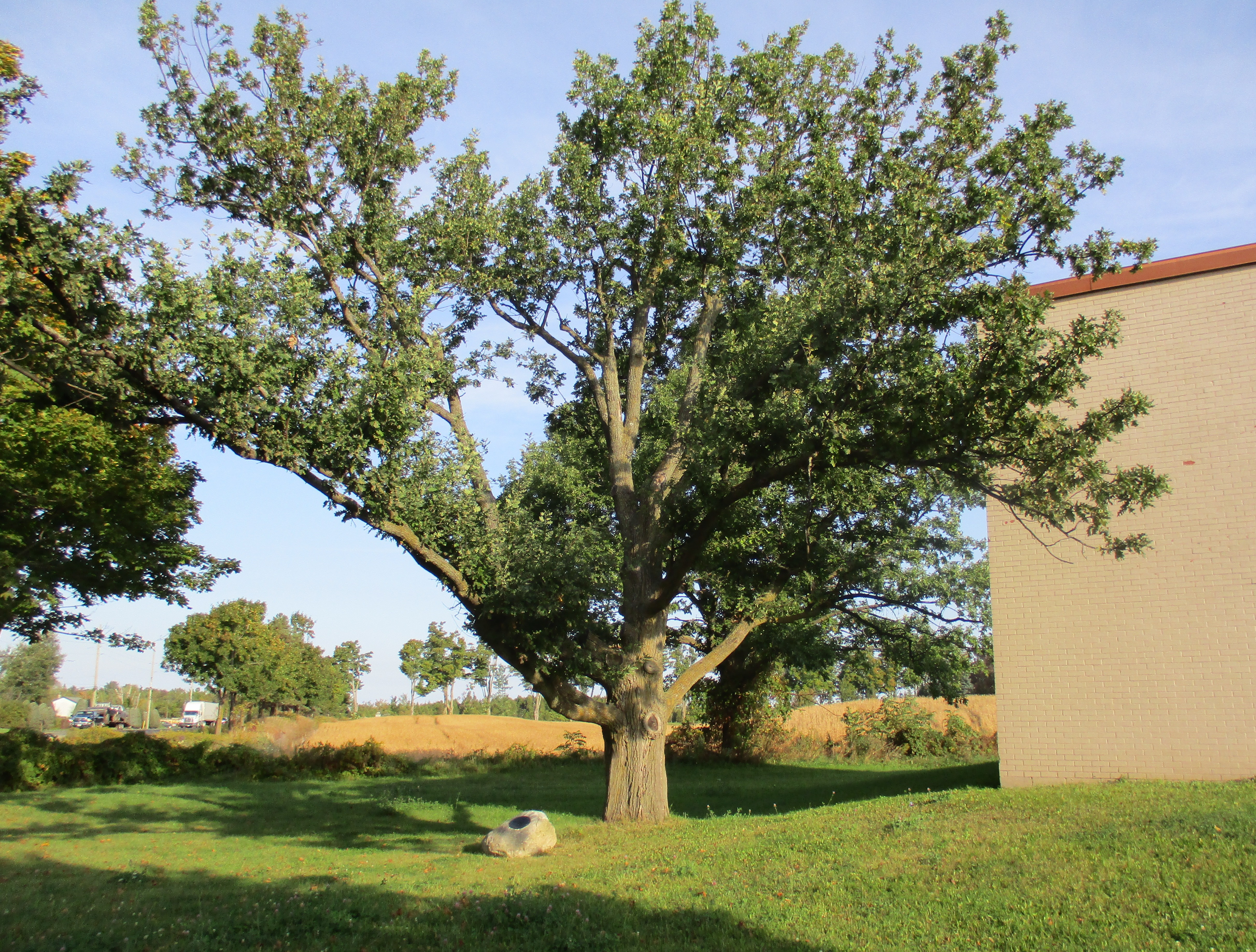
The story of the Royal Oak of Speyside actually starts in England in 1651.  England was near the end of their civil war and King Charles II was trying to escape with his life after the battle of Worcester.  He later reported that he had hid in an English Oak tree all day while parliamentarian patrols searched for him.  This tree became known as the Royal Oak tree and the English Oak got a new nick name.  May 29th was celebrated as Royal Oak Day for centuries in England to mark the restoration of the monarchy.  In 1937, to celebrate the coronation of King George VI on May 12th, acorns from Windsor Park in England were sent all across the commonwealth.  A one room school stood on 22 side road north of Speyside and a 1944 picture of the school is seen in the cover photo.  Students at SS #8 Dublin planted their acorn in a special evening ceremony in that year.  Marion’s father was among the group of students involved. When the school closed in 1960 they raised the money to have tree surgeons move the 20 foot high oak tree.  They planted it beside the gym at the new school where it continues to grow.  When the school closed in 1986 acorns were brought from England to plant “cousin” oak trees at Brookville, Limehouse, Pineview and Stewarttown where the Speyside students were transferred.  The Royal Oak of Speyside received an heritage designation in 2007 for it’s cultural significance.  The tree is expected to live for up to 500 years and the owner of this property is required to maintain it during it’s lifetime.

IMG_0309

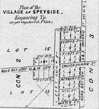
Speyside grew into a considerable community as the street plan in the 1877 Halton County Atlas shows.

plan

The village had two hotels, two general stores, a tannery, a large stone quarry and a village hall. The picture below shows the only remaining building from the original Speyside.  Newer homes have been added over the years.  This structure operated as a store under many names and was even moved back from the road 17 feet in 1942 when the highway was paved.  Today it is closed and a few modern homes provide the only hint of the former life of Speyside.  Directly across the street from the store stood the original log cabin that served as a post office from 1873 until 1914.  The first postmaster is rumored to have been illiterate and relied on the school children from SS #10 to help him sort the mail.The post office closed in 1914 when rural mail delivery made it obsolete.

IMG_0311

We parked off 15 Sideroad in the Bruce Trail parking lot and went for a walk in the Speyside Resource Management Area.  Not far from the parking lot stand the remains of two kilns. These were used by Alexander Livingstone to dry the hops he grew when this was a farm.

IMG_0317

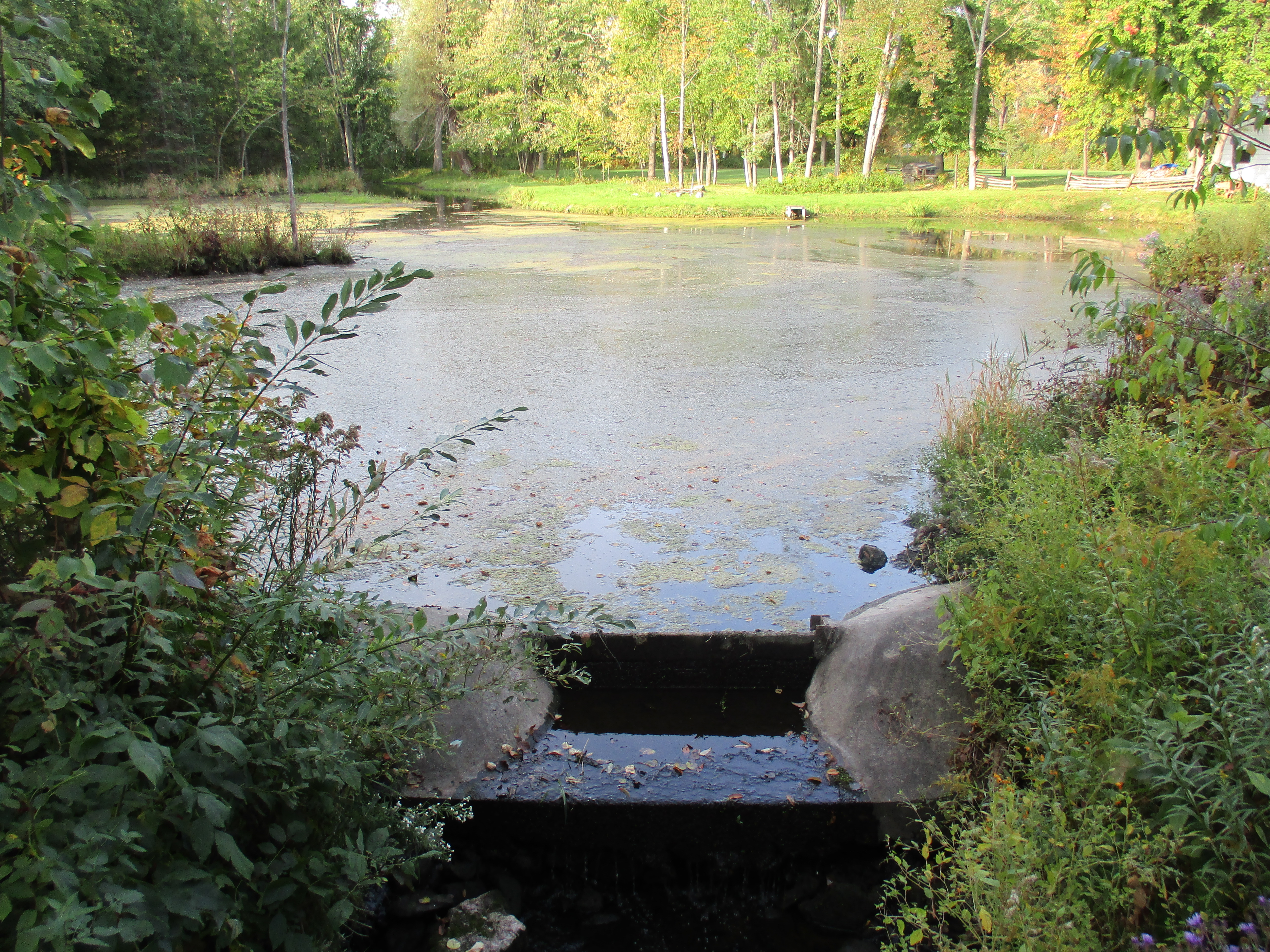
There is a pond along the trail which has a small sluice gate maintaining the water level.  It has been created by damming the tributary of the Sixteen Mile Creek that passes through town.

IMG_0313

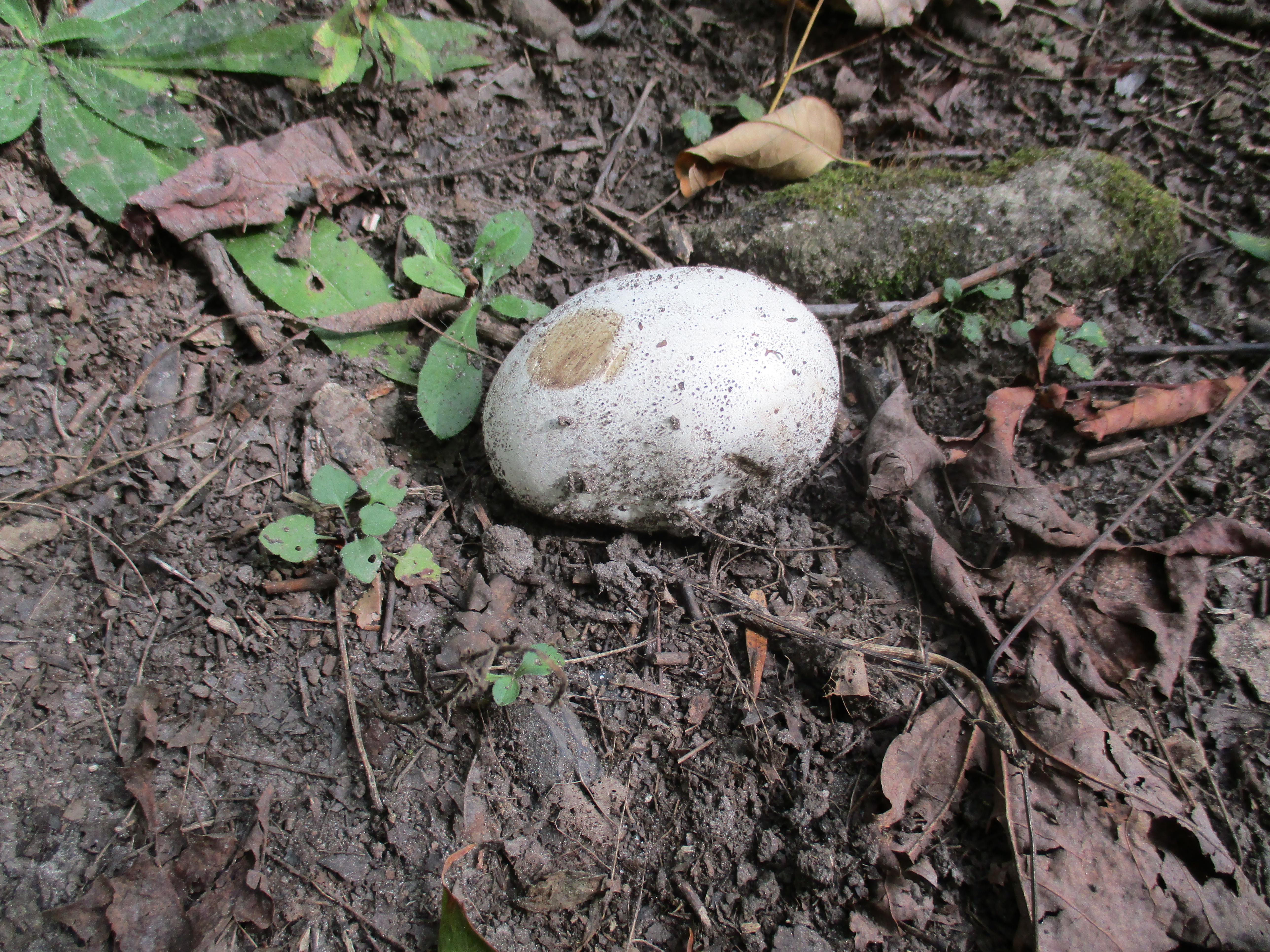
Puff balls are one of several genera of fungi that do not have open caps or external gills to distribute their spores.  They form their spores in the centre of the fruit body.  When the fruit dries out it turns brown and the skin ruptures releasing a puff of spores from the ball.  When harvested around this time of year then sliced thinly and fried in butter and garlic they become quite tasty.  This one was too small to be bothered with but they can get to be nearly the size of a soccer ball.

IMG_0344

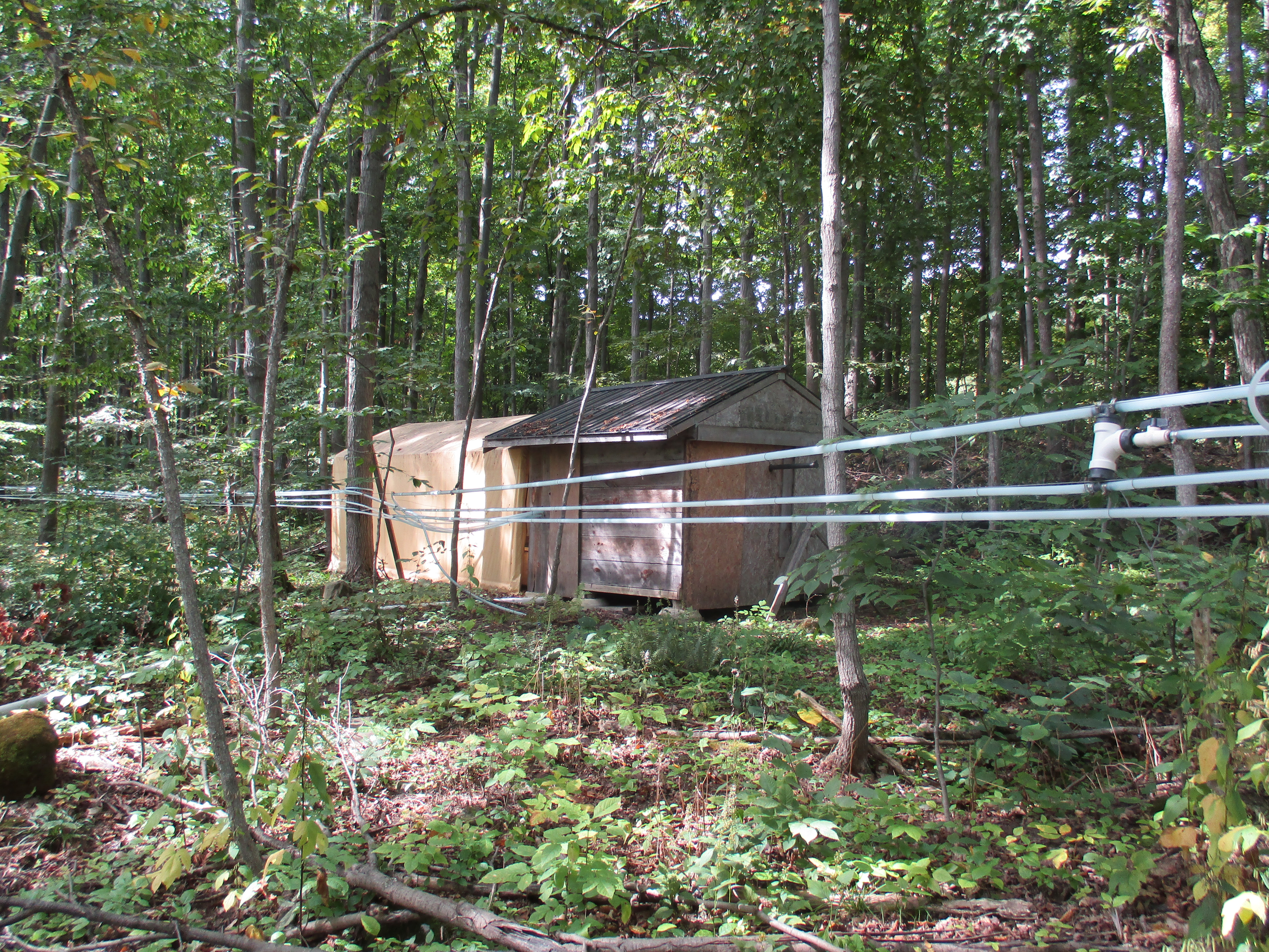
Along the side of the trail a series of hoses run between trees and end in this shed where maple sap is collected and boiled down to make maple syrup.

IMG_0345

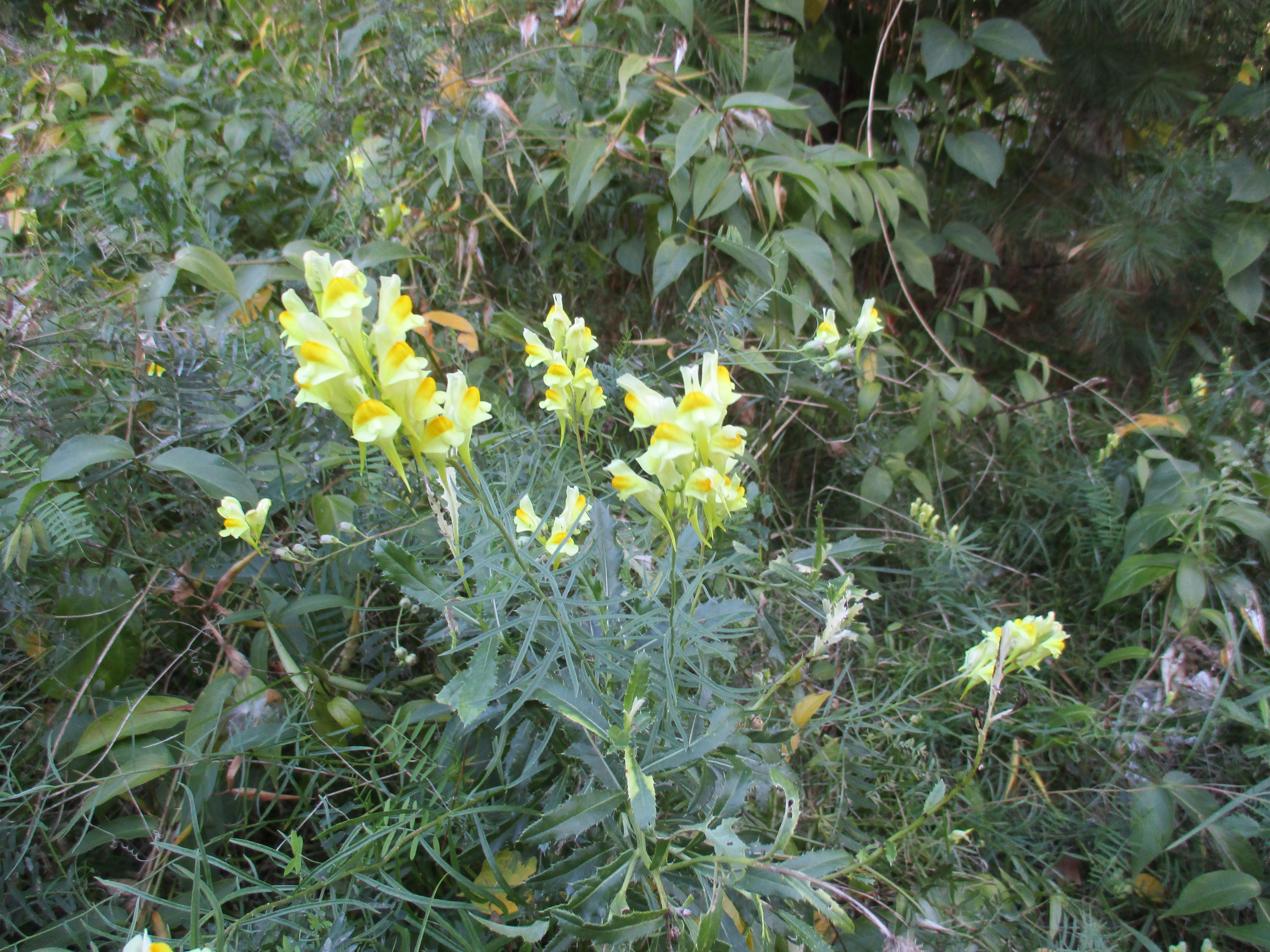
Butter and Eggs flowers, also known as yellow toadflax, are related to the snapdragon. The flowers are often added to arrangements because they last for a long time after cutting. This plant has been used for an herbal remedy in teas for both diuretic and laxative effects.  This little flower has the power to make you go.

IMG_0304

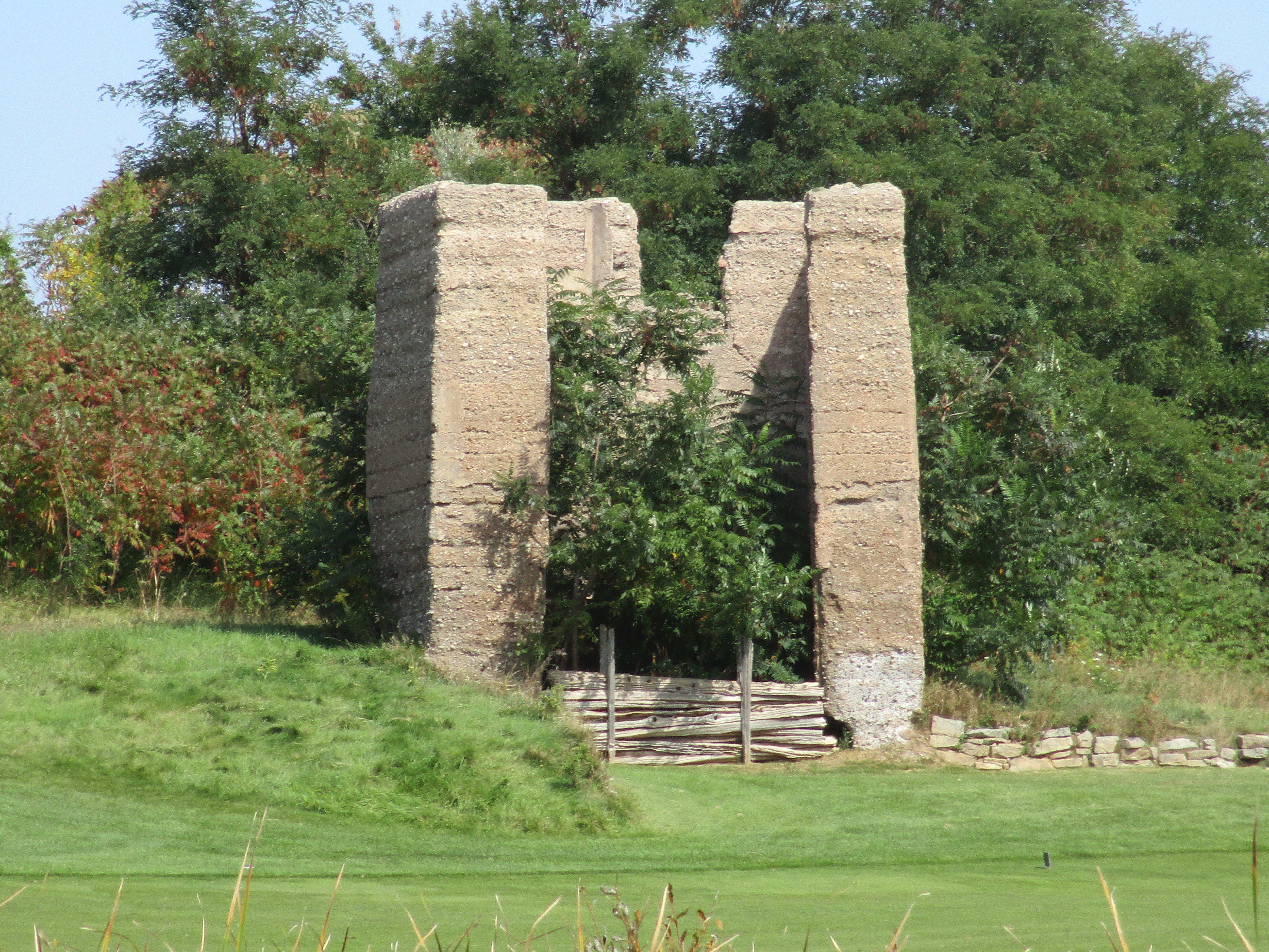
The Glencairn Golf Club is just south of Speyside near the old school.  The concrete remains of a kiln can be seen from the roadside.

IMG_0375

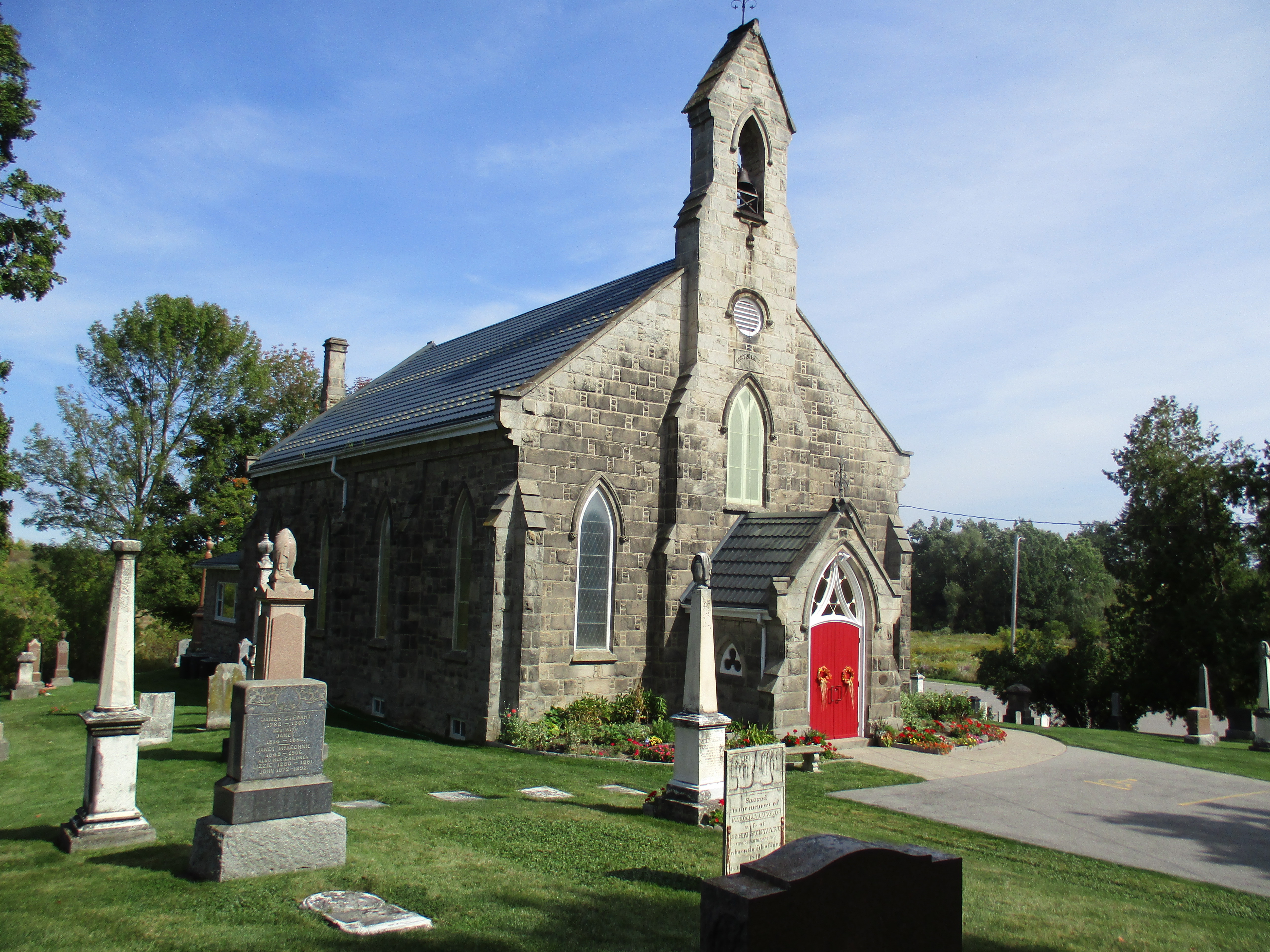
Near the 1873 school was a quarry which came to be known as Scotch Block.  Stone from this quarry was used in several local bridges for piers and abutments.  In 1868 the Presbyterians used this stone to build their Boston Church on the 3rd line.

IMG_0383

There are plenty of nice weekend days left this year to get out and enjoy.  Fifteen of the top hikes are listed here.

Like us at http://www.facebook.com/hikingthegta


Rattray Marsh

Saturday, Sept. 19, 2015, and Monday, Sept. 11, 2017

Rattray Marsh contains fossils that help form it, abundant wildlife and 100-year-old abandoned structures. And that’s just in the corner we explored.  We set out to enjoy the last Saturday of summer and decided to visit the Rattray Marsh.  There is very little parking at the marsh and so we parked at the Bradley Museum.

James Rattray was born in 1887 and after having served in WW1 he made a fortune in the mining industry.  He was friends with Percy and Ida Parker who owned the Riverwood Estate.  In 1945 he bought the Fudger mansion along with 148 acres including the mouth of Sheridan Creek.  The historical atlas shows that the creeks emptying into Lake Ontario along this stretch all had a marsh where they emptied into the lake.  Today, the marsh on Sheridan Creek is the only one left between Toronto and Burlington.  The rest of them have been filled in and when James Rattray died in 1959 developers started making plans to build homes on this one too. The Credit Valley Conservation bought the property in 1972 after local residents petitioned to have the marsh saved.  It was opened as Rattray Marsh Conservation Area in 1975.

The shoreline along this part of the lake is made up of flat stones that have been rounded through years of wave action.  They have been washed up on the beach in a wall known as a shingle bar.  This rock barrier slowed and sometimes stopped, the flow of Sheridan Creek into the lake.  The waters pooled behind this wall and silt settled on the bottom where aquatic plants took root forming the marsh over time.  The picture below shows the mouth of Sheridan Creek and the rock barrier, or shingles bar, that maintains the marsh.

IMG_0250

The threat to the marsh actually started long before the developers made specific plans to fill it in. Without realizing it they had already initiated a slow process that would do so.  As development occurred on properties upstream the amount of sediment in the marsh increased.  Buildings, roads, and parking lots don’t absorb water like fields and forests do. Water runs off quickly and carries soil and other dirt into the creek.  The water slows down in the marsh where this silt settles and quickly buries the natural ecosystem.  To restore the marsh some of this sediment was removed to expose the native soil and allow the seeds trapped inside to germinate.  White carp have also invaded the marsh and are disturbing the sediment on the bottom through their feeding.  This has destroyed plant life and the habitat it provided. The carp have been isolated and are now kept out by fences in the marsh like the one pictured below.

IMG_0271

We did a little beach combing looking for interesting rocks and fossils.  The wall of shingle stones along the shoreline is full of fossils.  The remains of these long-gone creatures now serve to keep the creek out of the lake and helped the marsh to form.  There were many small stones with multiple fossils of worms in them.

Along the lake shore at the creek mouth, there is a deteriorating break wall that was installed to help preserve the marsh from erosion.  A little east of here a large concrete chamber stands looking out over Lake Ontario.  The top is broken off and several small trees are taking root inside.  This was likely built in 1918 when Fudger had the house built on the property,  He was obsessed with fire protection and built his house out of concrete.  This appears to be an old pump house, perhaps part of a fire suppression system.

IMG_0286

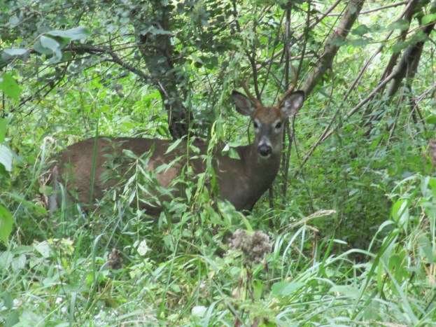
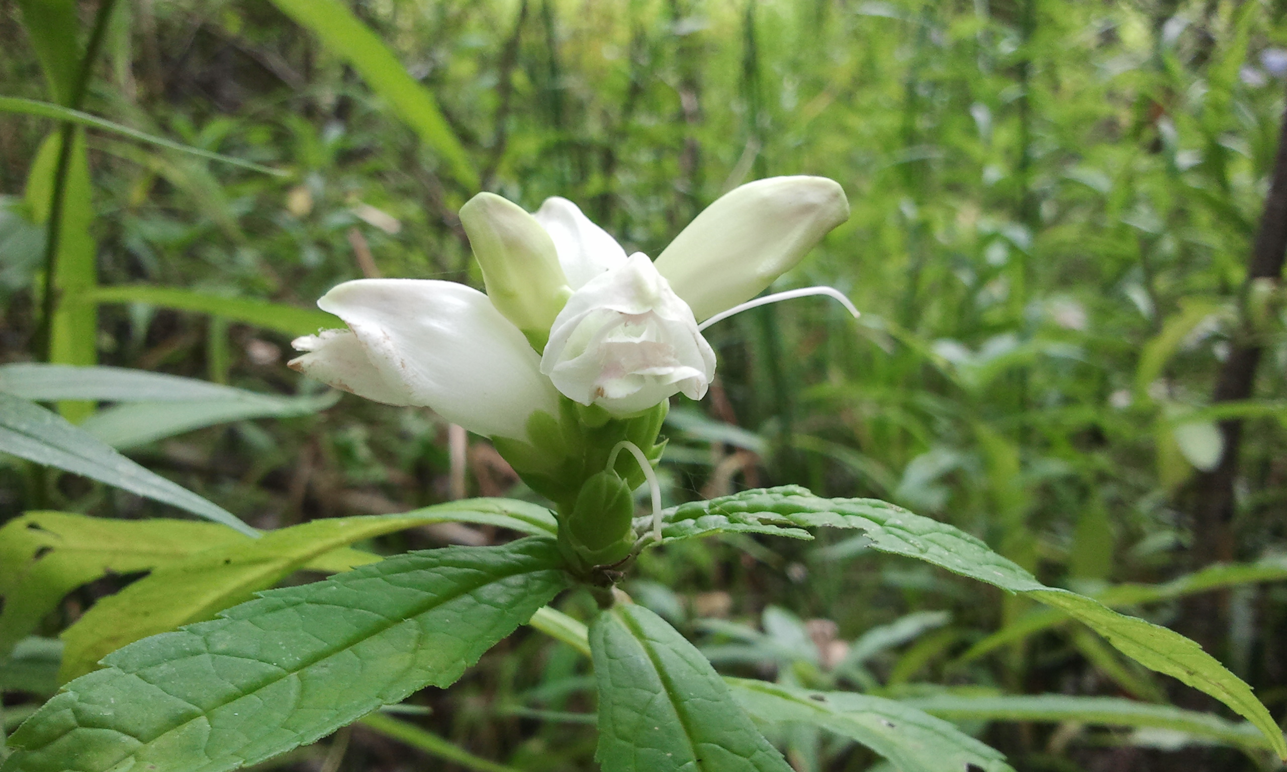
Turtlehead flowers grow in moist soil and bloom from late in August through to October. They get their name from the shape of their white, red or pink flowers which look like a turtle with its mouth open.  Turtlehead flowers have been used in traditional medicines for centuries.  They make an excellent remedy for skin sores as well as reportedly being used for birth control by some native tribes.  They are a favourite food for white tailed deer like the young male featured in the cover photo.

SAMSUNG

Aside from carp, Rattray Marsh has also been invaded by the emerald ash borer.  This little green insect kills 99.9% of all ash trees it comes into contact with.  Unfortunately, most of the tree cover in the marsh and surrounding area is ash.  The picture below shows trees with an orange mark on them.  These are infested with the ash borer and will be cut down and replaced with new plantings.  Trees that are not infected can be protected against the insect at a cost of about $200 per tree for an injection that must be repeated every two years.  Injected trees have a little metal tag on them.

IMG_0234

On Monday, September 11, 2017, we returned to the marsh to explore the boardwalks and see what the back half of the park holds.

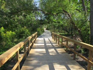
The Trans Canada Trail and the Waterfront Trail pass through the 90-acre park on a common boardwalk. There is a secondary trail which is 1.8 km long and a small 0.3 km loop known as the Knoll Trail.  Credit Valley Conservation has recently completed upgrades and replacements to much of the boardwalk around Sheridan Creek and they reopened on September 2, 2017.

IMG_1192

Rattray Marsh was rather low on water and we could see where it had been several feet deeper recently.

IMG_1186

Google Maps Link: Rattray Marsh

Like us at http://www.facebook.com/hikingthegta
Follow us at http://www.hikingthegta.com


Hermit Hollow – Hillsburgh

Tuesday Sept. 15, 2015

After having visited The Ghost Town Of Sixteen Hollow and Trout Hollow I wanted to complete the trilogy and visit the collapsed house in Hermit Hollow.  I parked off of Station Road where the old Credit Valley Railway station once stood.  I walked south on the old rail line then walked the length of the main street.

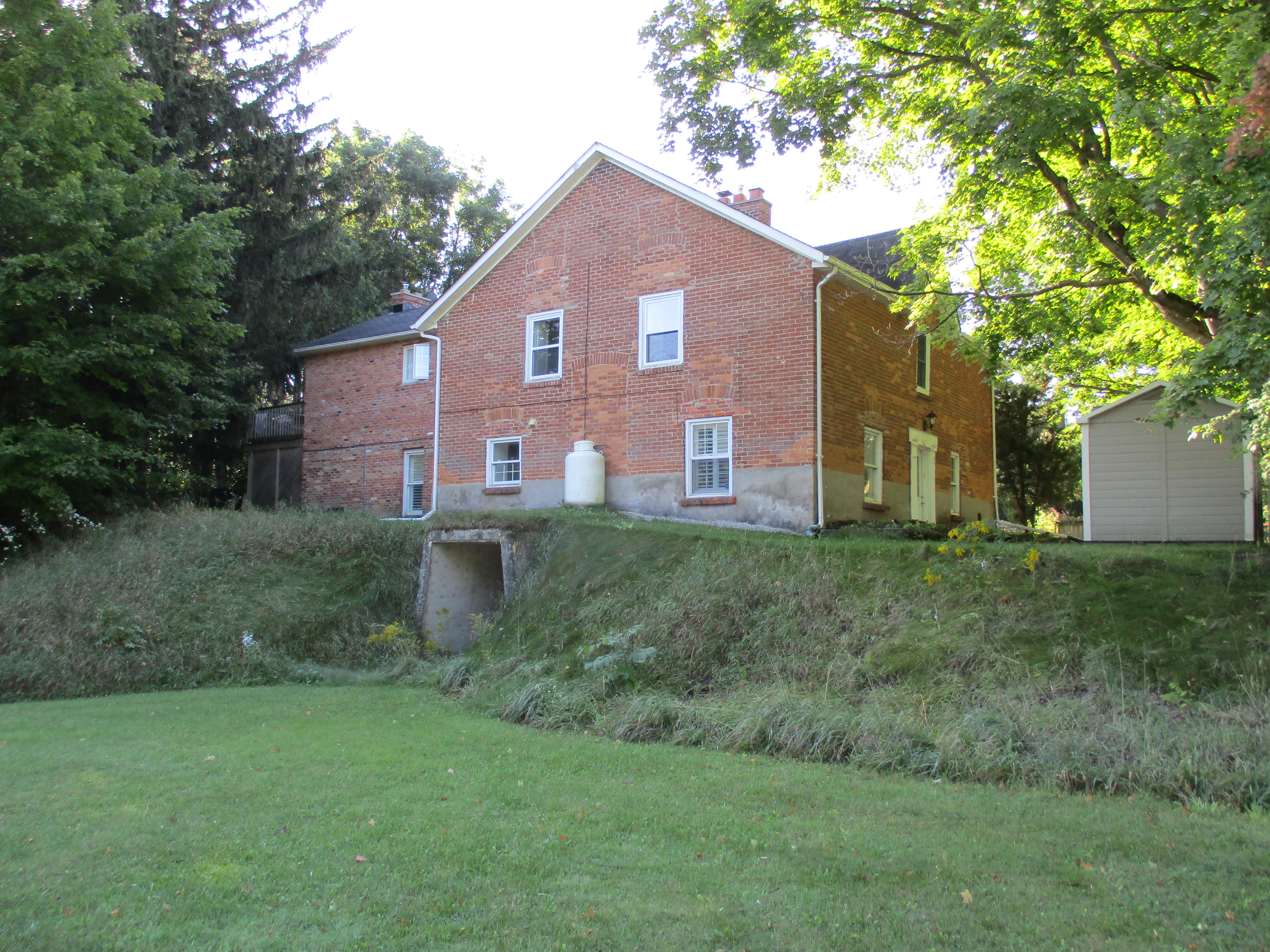
After the coming of the railway potato growing became an important part of the Hillsburgh economy.  In 1881 the first carload of 210 bags of potatoes was shipped from Hillsburgh to Toronto.  Before long up to 3,000 bags a day were being shipped.  For a few years the town even celebrated Potato Fest.  The cover photo shows a plastic button from the 1973 festival. Beside the railway station stood large potato sorting and storage sheds.  An underground potato storage facility near the railway station has been converted into a house.  Note the concrete storage entrance on the side of the house and the extensive berm for storage.  All of the windows have been reduced in height and bricked in and a doorway has been closed off where the propane storage tank stands.

IMG_0008

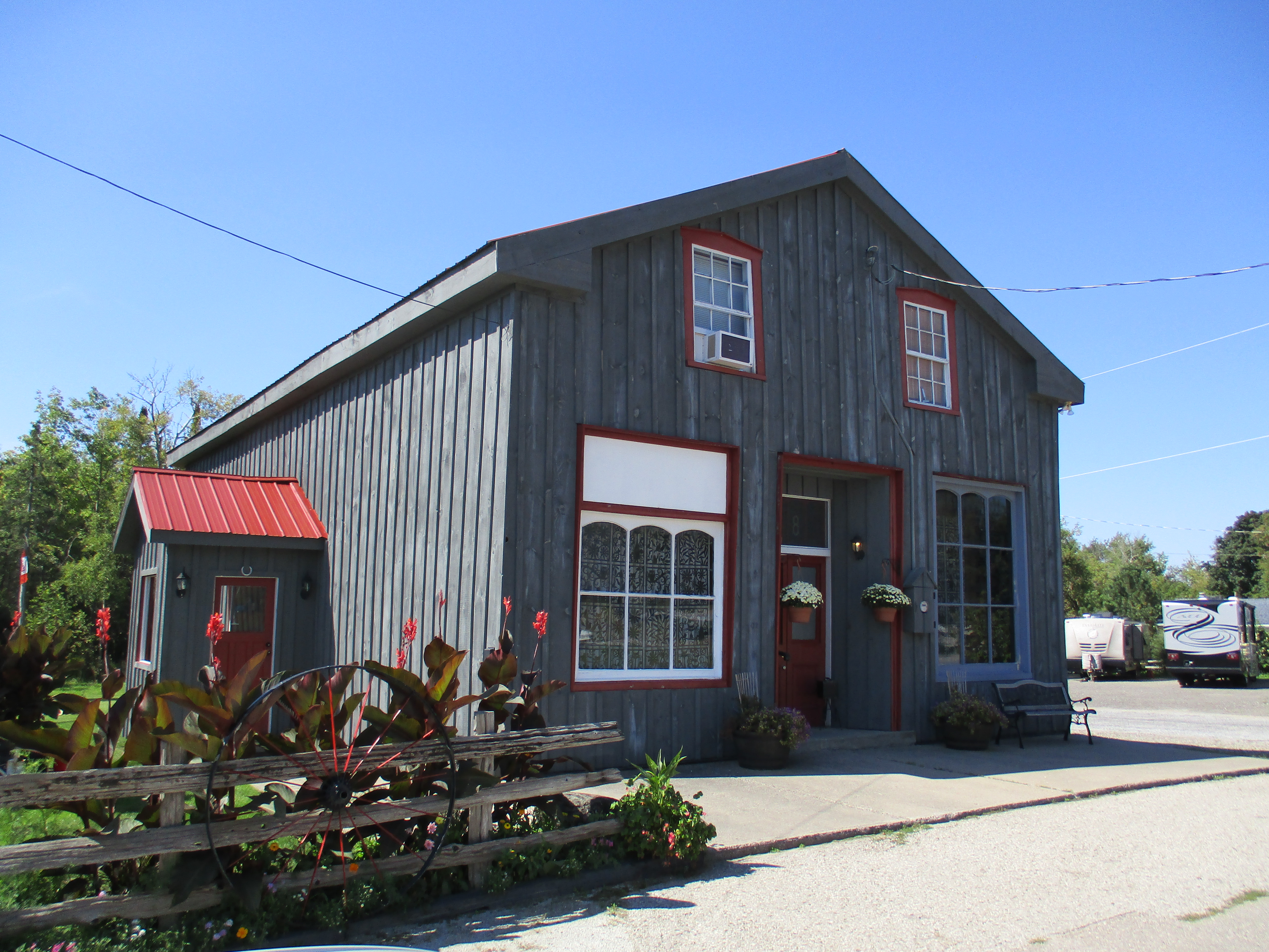
In 1821 William Howe bought lots 22 and 23 in the seventh concession of Erin township.  He built a general store and trading post on the 7th line.  His second, larger store, blew up due to careless smoking and storage of gunpowder. A third store was then built which operated into the 1970’s.  All of the old tin advertising for Coke, Black Cat Cigarettes and the Orange Crush door handle are all gone from the store front and now it survives as an office building.

IMG_0133

Nazareth Hill arrived a couple of years later and built a hotel on lot 25.  He surveyed his property for town lots and named the community after himself.  As Hillsburgh grew it swallowed Howville.  It was incorporated as a police village in 1899 with a population of 500.

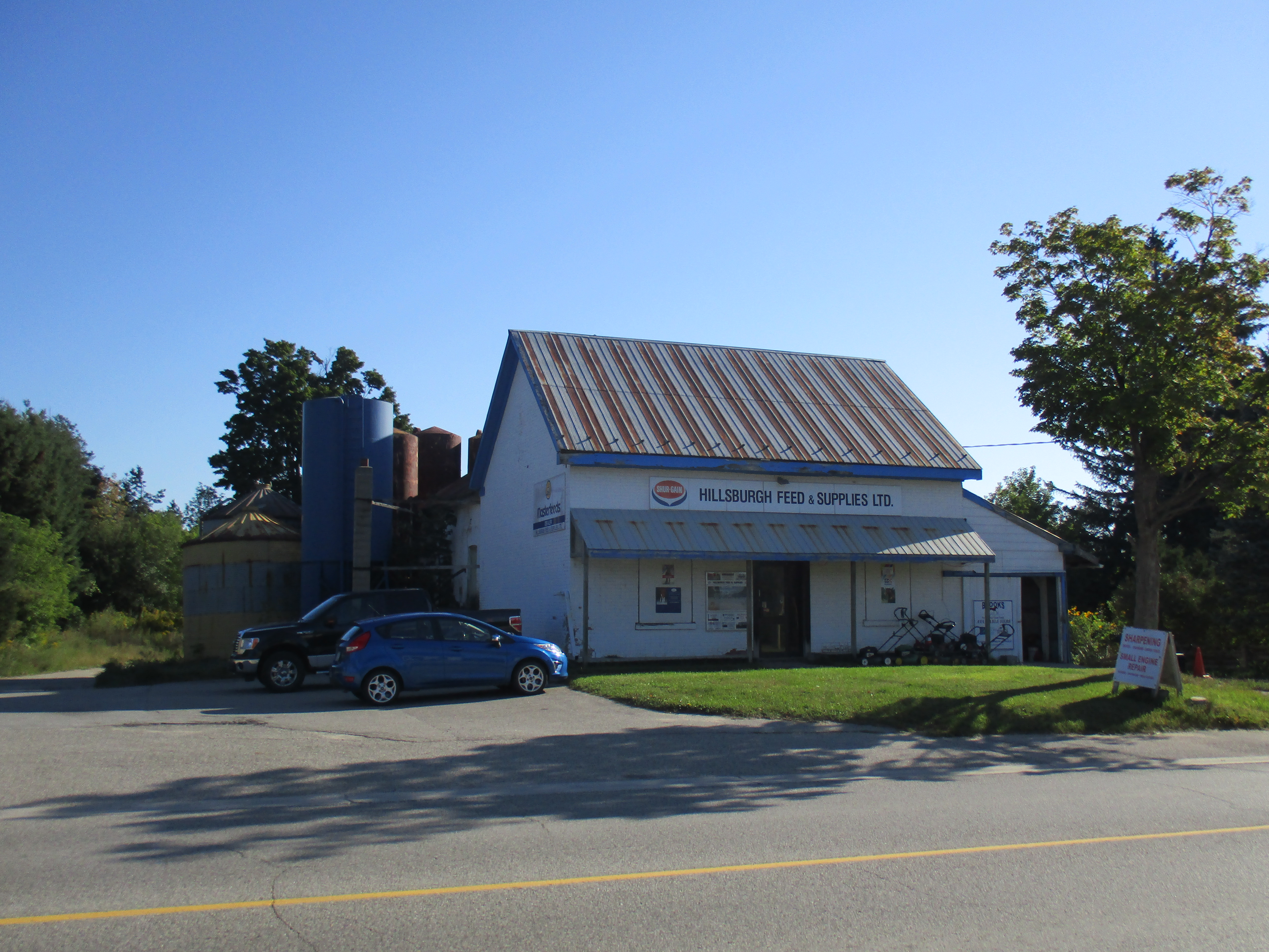
The first school house dates to 1844 and survives today as a private residence.  A one room brick school was completed in 1864 with an addition for the juniors on the front in 1878. In 1960 six acres were purchased from the Nodwell farm and Ross R. McKay school was opened with four class rooms.  The picture below shows the old school which has served local farmers as Hillsburgh Feed since 1963.  The 1864 school room is hiding in the back beside the feed silos.

IMG_0015

William How is buried in the pioneer cemetery near the middle of town.  After many years of neglect the stones were gathered up and placed in a central location.

IMG_0018

William Nodwell came to Canada from Ireland in 1838 and settled on Lot 24.  His first log home burned down within a year.  Nodwell then sold half of the lot and constructed another log house and barns.  In 1868 the brick house shown below was built.  This view shows the front of the now abandoned house with it’s second story oriel window.  In 1895 the house at the corner of the lane was added for use by family members.  In 1926 Mungo Nodwell took over running the farm which was well known for the  potatoes he grew.  Today there is an open proposal to develop this farm for a subdivision and the electric fence that used to surround the school yard has been replaced with a row of trees.

IMG_0120

A second town hall was built in 1887.  The date stone is interesting because it has no “h” on the end of the town’s name.  Notice the two maple leaves above the date and the beaver below. The Beaver was the name of the town newspaper in 1887 and cost 25 cents per year, paid in advance.

IMG_0049

Six of Hillsburgh’s seven church buildings remain.  The first, and only missing, church was the Union Church and it stood beside the pioneer cemetery.  As each of the denominations grew they left the Union Church and got their own buildings.  From the south end of town is the Baptist Church (1862), Christian Church (1906) and St. Andrew’s Presbyterian (1869) which burned in 1965 and was rebuilt in the original walls.  Beside the river stands the United Church which was reassembled here in 1926 and the Anglican Church seen below.  It was built in the early 1890’s but closed in 1918 and served as a honey extracting plant after that.

IMG_0051

Hillsburgh didn’t have a fire hall until the church fire of 1965.  After that it had a two door building that stood beside the river.  When the arena was replaced it was moved to Station Road.  Today there is a semi-circle of concrete on the ground behind the arena to mark the tower where the fire hoses were hung to dry.

IMG_0056

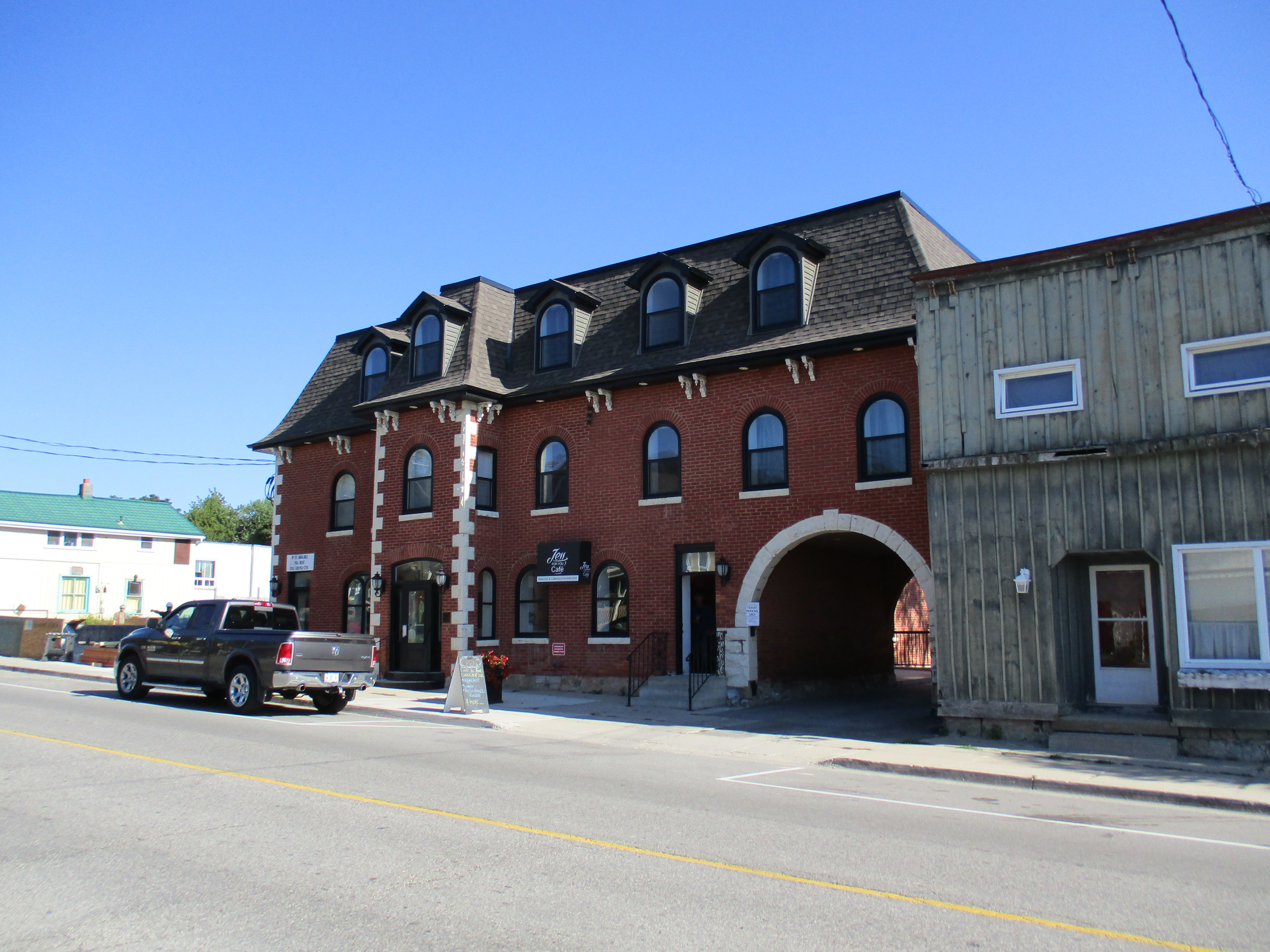
The Exchange Hotel was built in 1883 and was one of three hotel buildings that remain in town. Until recently It had stables in the back for the traveler’s horses and lettering on the arch which said “Good Stabling”.  It is the only three story building in Hillsburgh.

IMG_0078

Church Street was home to the Methodist Church.  This was also the site of the town’s third cemetery which lies below the lawn.

IMG_0089

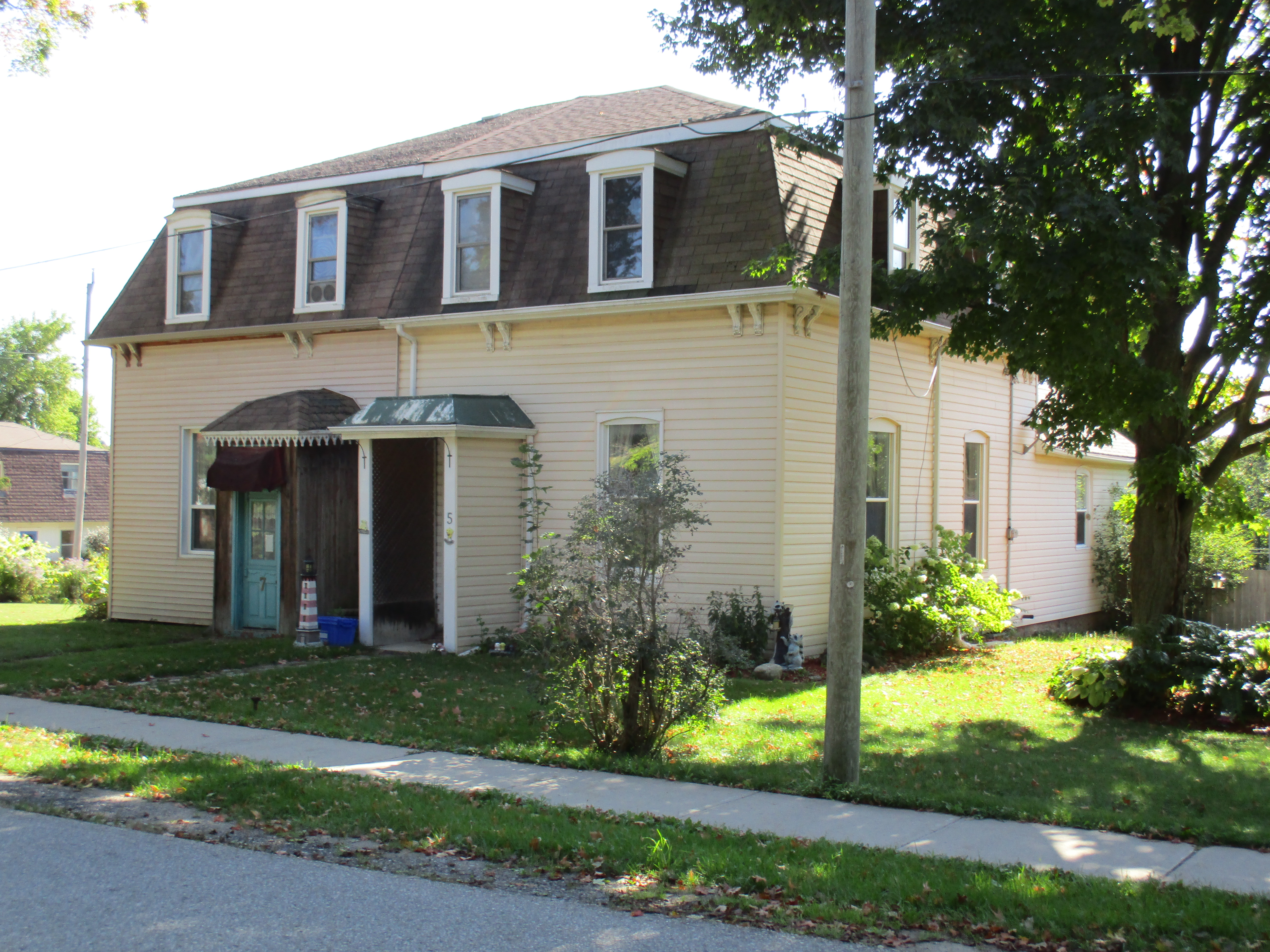
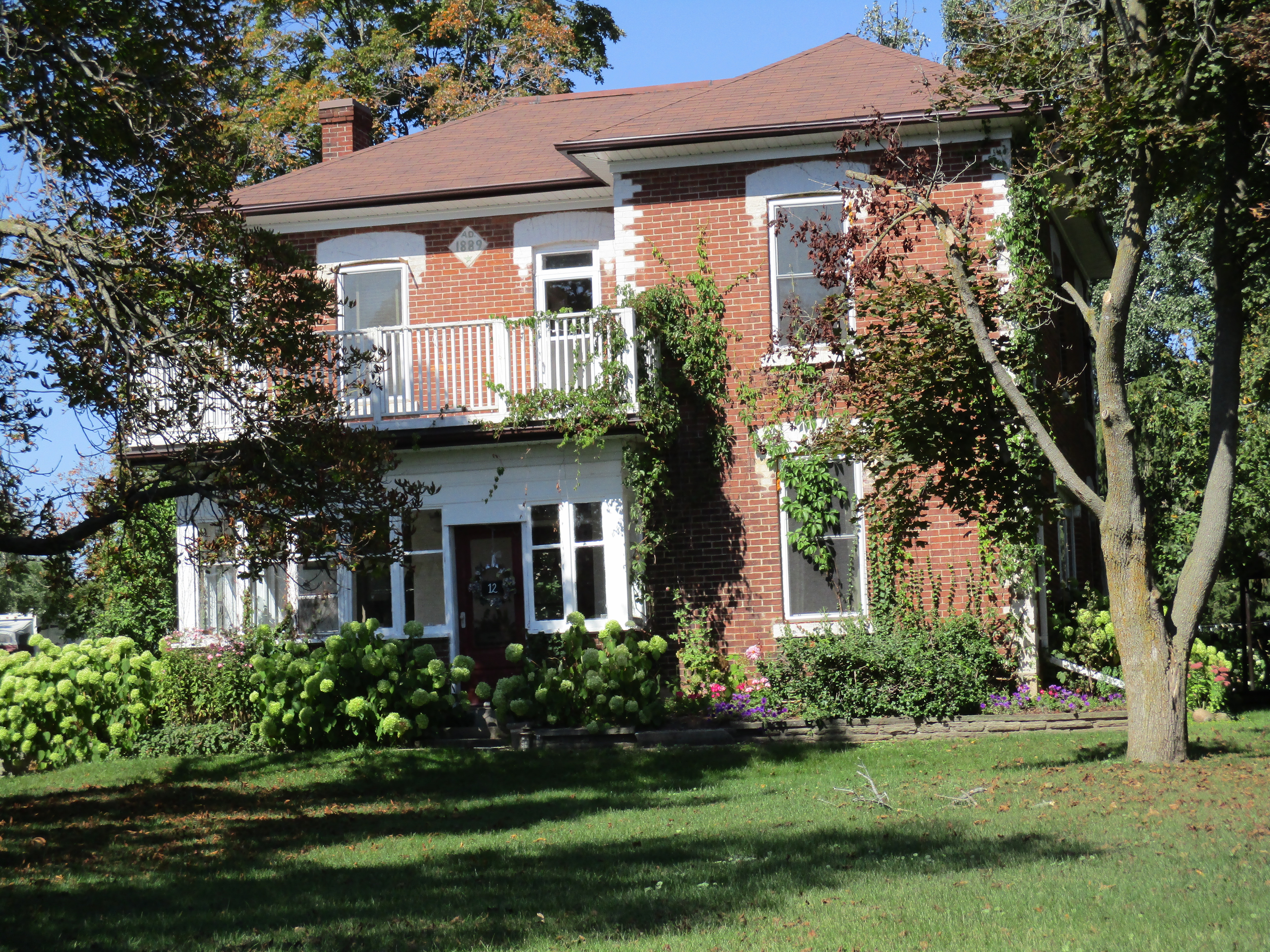
The Barbour house, dated 1889, is on Orangeville Street and is one of half a dozen houses in town which are dated in the 1880’s and 90’s on a diamond shape date stone.  These were built by Alexander Hyndman whose own 1879 house stands beside the Christian Church.

IMG_0128

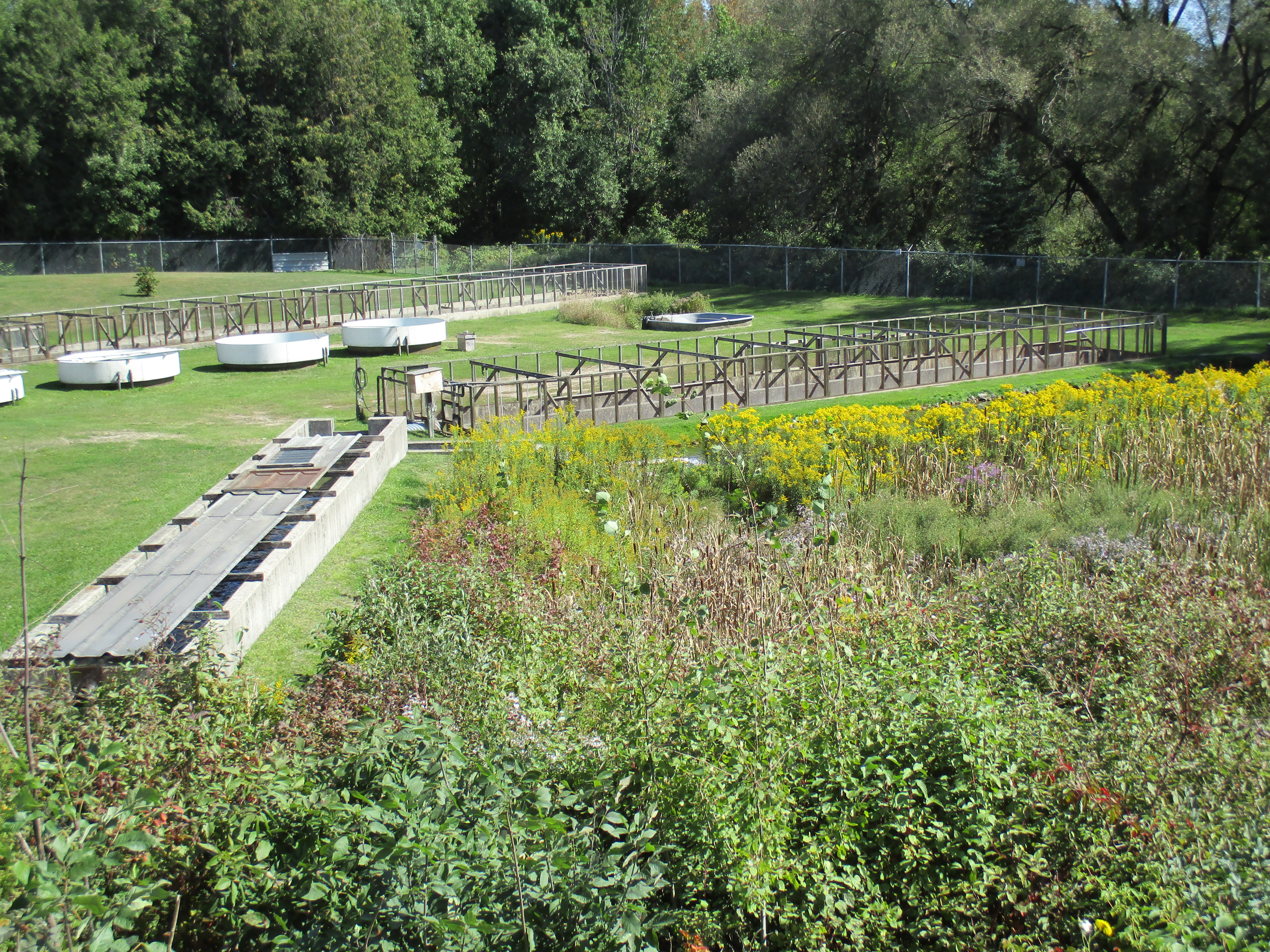
On the south east corner of the 8th line and 27th side road lies one of the headwaters of the Credit River.  In 1906 this property belonged to the Caledon Trout Club and later was a fish hatchery.  From here the water flows through Hillsburgh’s three existing ponds and into the Credit River.  A little boat dropped in this trickle of water could eventually emerge in Lake Ontario at Port Credit beside the much larger ship The Ridgetown.

IMG_0127

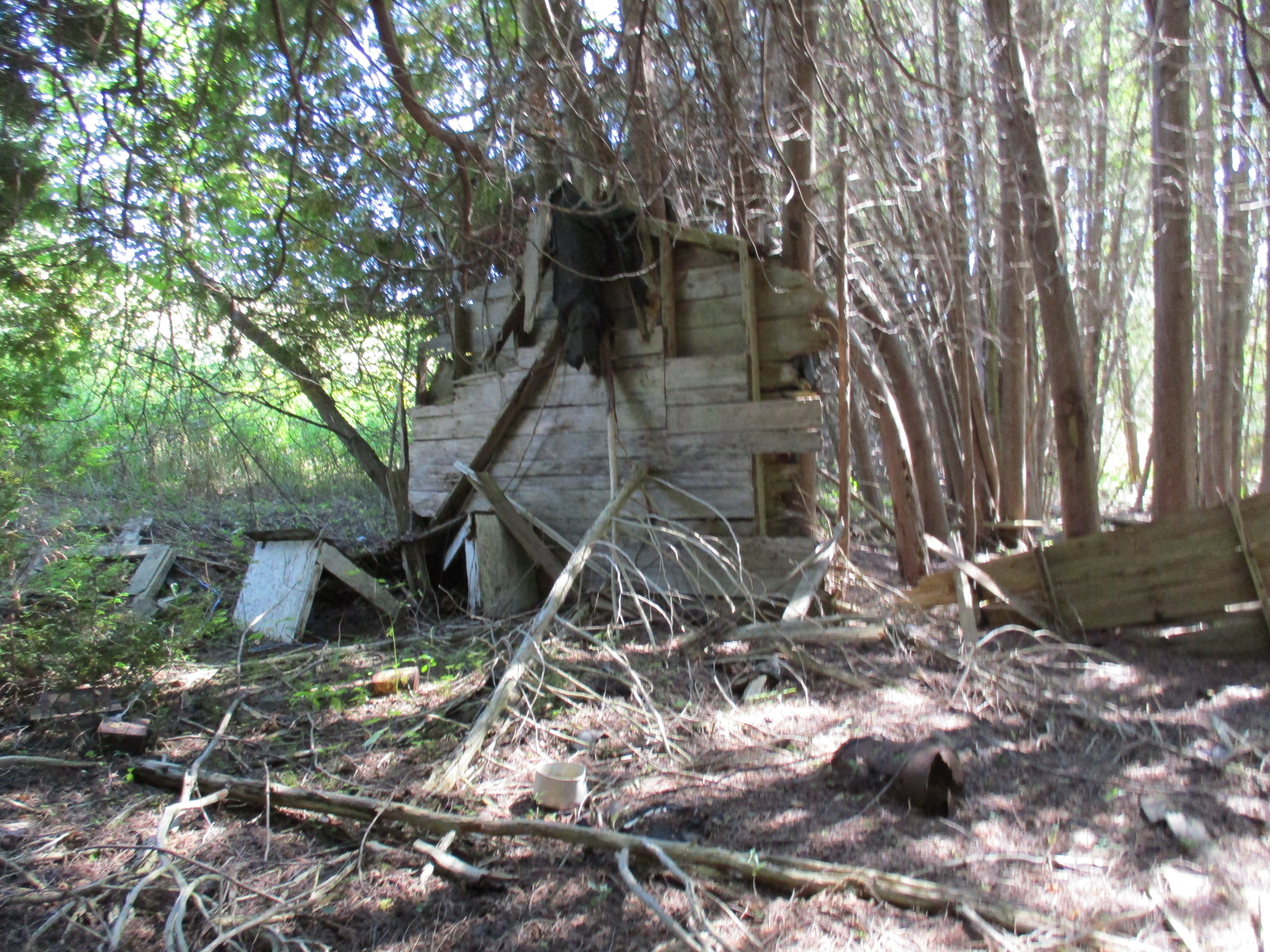
Leaving town on the 7th line there are two large hills.  In the hollow on lot 18 stood an old shack covered with asphalt siding.  During the early 1970’s a hermit lived in this house.  It was already in a state of decay at that time and collapsed by the middle of the decade.  Today one wall remains leaning against a tree and the rest is in advanced decay on the ground.  In good hermit fashion the property is strewn with old tin cans and empty bottles.

IMG_0137

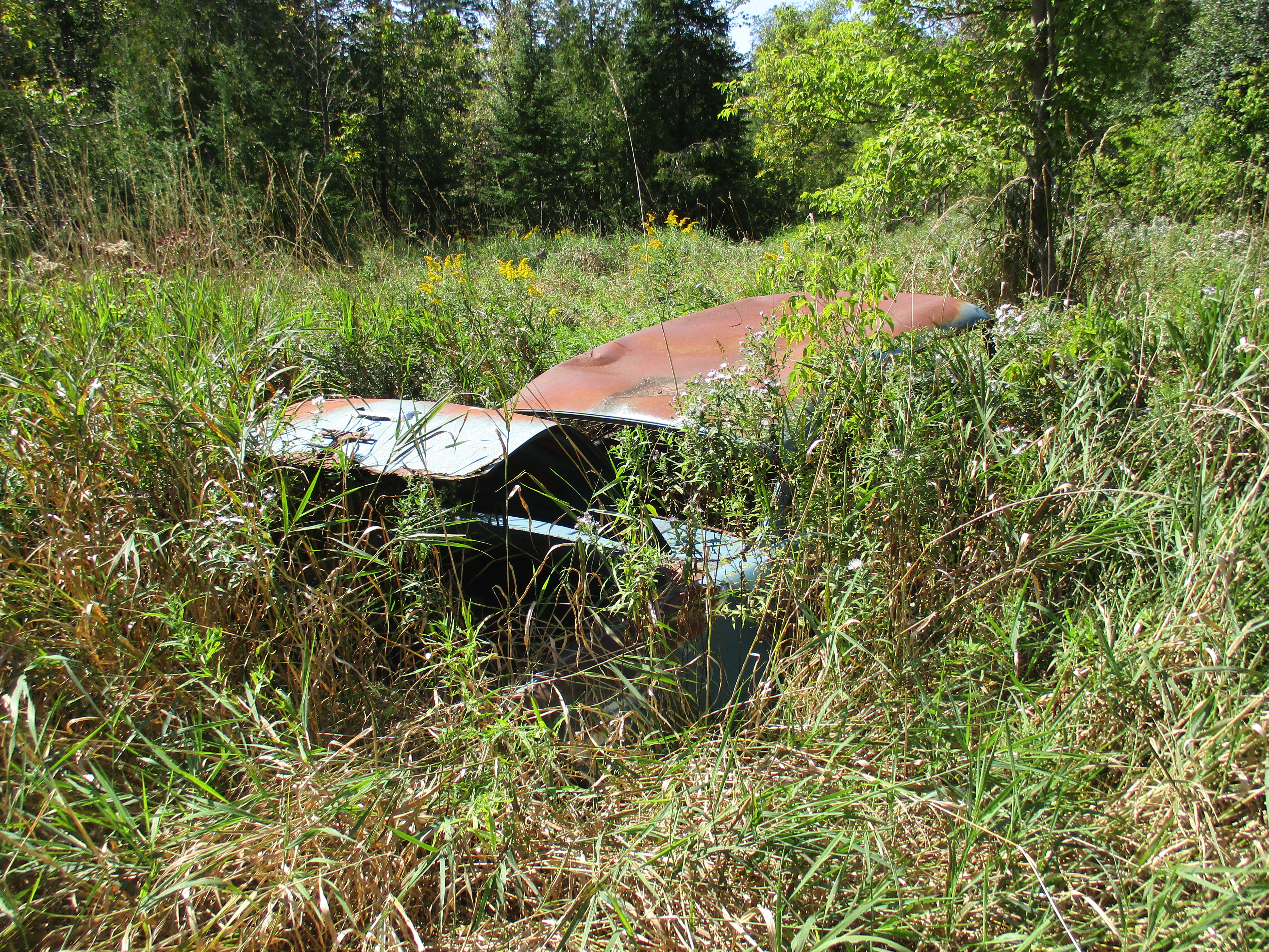
An old car from the 1940’s or early 1950’s lies rusting in the tall grass at the back of Hermit Hollow.

IMG_0150

Hillsburgh retains many historical buildings and is an interesting time capsule of rural Ontario.

Like us at http://www.facebook.com/hikingthegta
Trout Hollow

Sunday September 13, 2015

Trout Hollow has been abandoned three different times and today is a ghost town.  I was on a grand tour that took me from Toronto to Orillia, over to Meaford and then back to Toronto. Down time was needed in Meaford and so one of my brothers and I set off to further explore some of the Georgian Triangle Area (GTA).  After having visited Sixteen Hollow on Saturday and now finding myself in Trout Hollow I decided I had better complete a trilogy and visit Hermit Hollow while I have a week’s hollowdays from work.
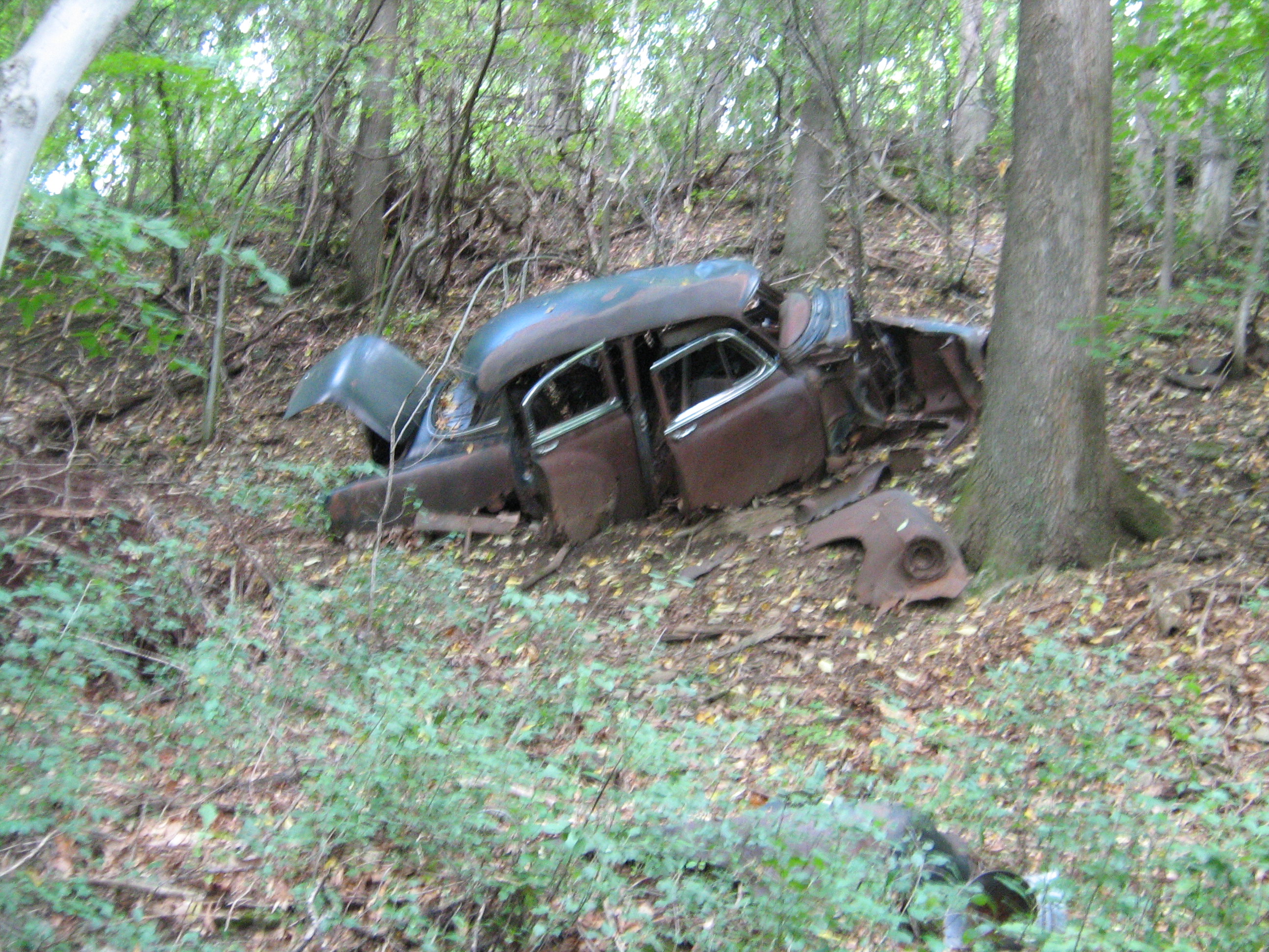
We parked on 13 sideroad off of the 7th line a little south west of Meaford.  The area we accessed as we went down the old road allowance is known as Trout Hollow.  Following the yellow side trail where it goes to the right off of the road allowance brings you past one of many 1940’s era cars that have been pushed down the hillside prior to the growth of the current forest cover.  Rainbow trout run in the Bighead River and there are often anglers in the hollow trying to catch a fish.  However, as we shall see, that is not the reason for the name of Trout Hollow.

trout car

In June of 1855 William Trout Sr. bought 200 acres of land on the Bighead River where there were good trees and plenty of water power for a saw mill.  Things were a little fishy from the beginning in that mill and property was secretly deeded to the Trout boys from the beginning. William hinted that he would leave the mill to them so that his children would take good care in helping him build and operate it.  Work was slowed when the Trout men were called away to contribute their millwright skills at a mill being raised near Inglis Falls.  The raceway, head protecting dam and flume were completed and the winter of 1856 was used to prepare the log crib that when filled with gravel would dam the creek.  A log house was constructed in 1855 for the use of the mill workers.

Wood was plentiful and there were settlers coming into Meaford making the Trout mill quite profitable.  In 1861 the census shows William H. Trout (Jr.) had an inventory of 66,000 board feet of lumber. A slight recession following the end of the Crimean War led the Trout family to convert their saw mill into a handle factory which they automated with the help of John Muir. John had previously invented an alarm clock bed that dumped the occupant at the prescribed hour.  The Trout Handle Factory produced handles for rakes, brooms and yokes.   A fire in February 1866 destroyed the buildings and all the inventory.  Trout saw mill was finished and the site abandoned.  For a brief period in the 1870’s The Pleasant Valley Grist Mill operated on this site but it soon closed and Trout Hollow lay silent for 25 years.

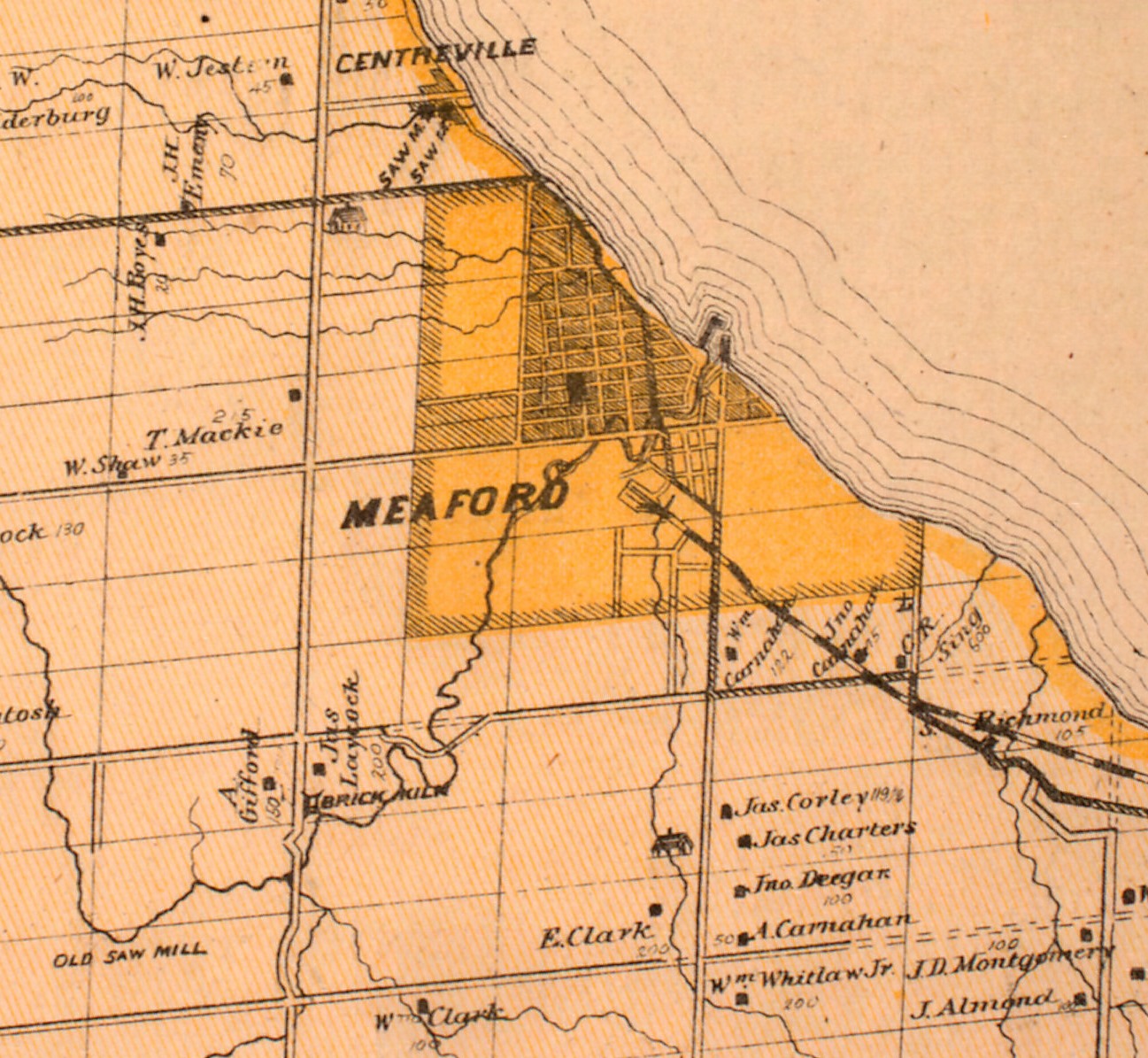
The Bighead River can be seen winding it’s way into the town of Meaford from the lower left corner of the shaded area in the 1877 County Atlas map below.  Tracing it back you come to the right of way for the 12/13 side road where it takes a detour down the side of the ravine to improve the angle and make it less dangerous.  The modified road allowance is seen crossing the river in Trout Hollow which has vanished by this point and is not noted on the map.  In 1858 this road accessed only the mill in Trout Hollow and did not cross the river.  There was a public uproar when it was decided to use government funds to repair the wood braced roadway down the hill side with stone.

Trout Hollow Map

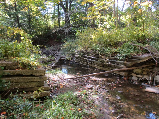
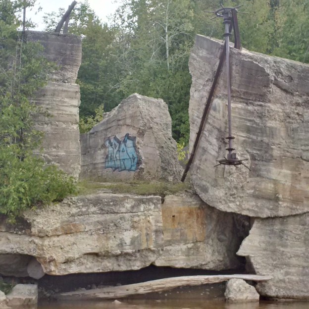
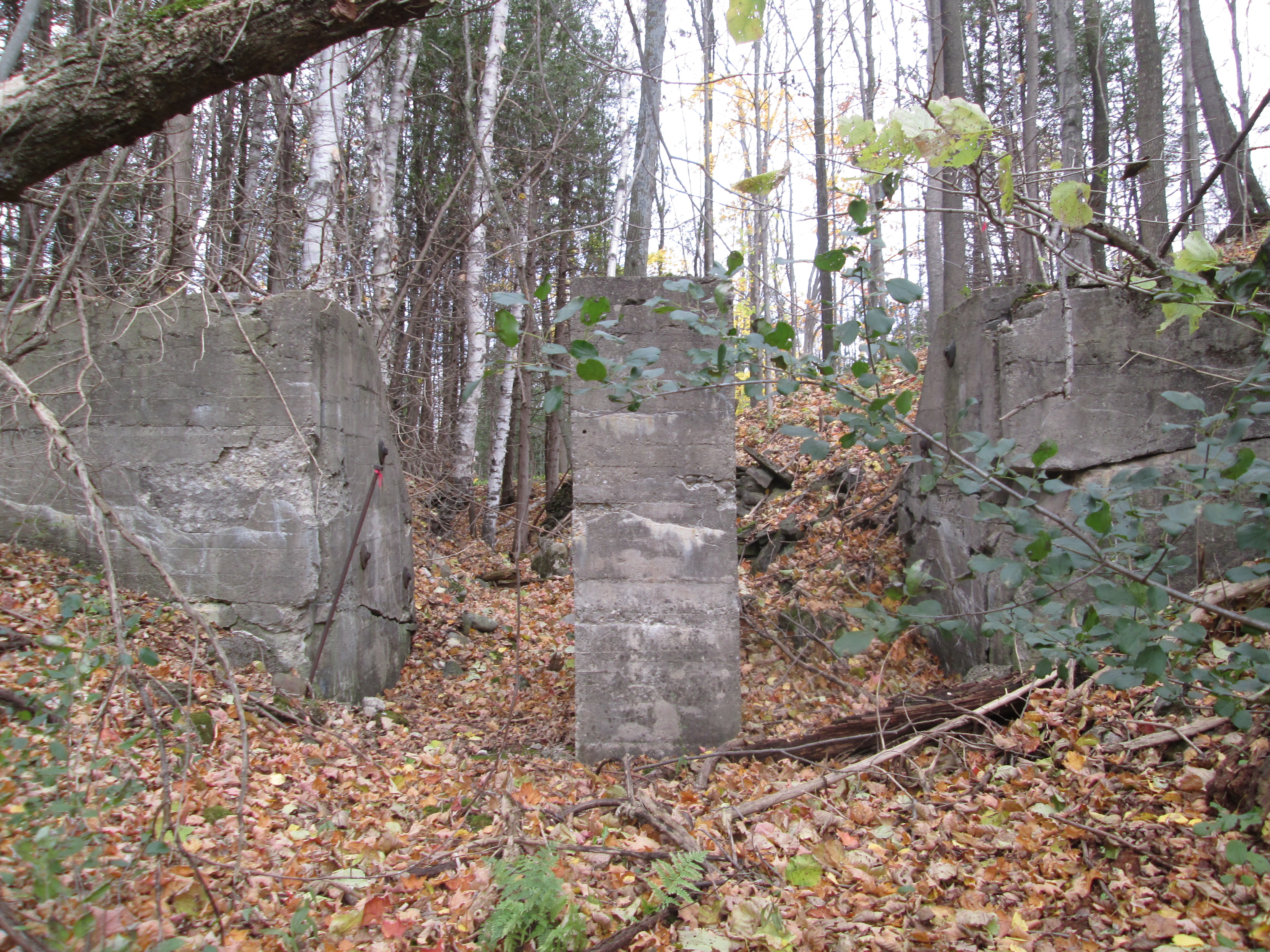
In 1904 an electrical power generation plant was built that resulted in the concrete dam across the river than can be seen in the picture below.  The story of the power plant can be read in the Georgian Bay Milling and Power Company post. Today the two abutments remain with the smaller one being in the distance but actually on this side of the river.  The dam on the far side has lost the protective embankment to erosion and is leaning into the river.

Bighead Dam Meaford

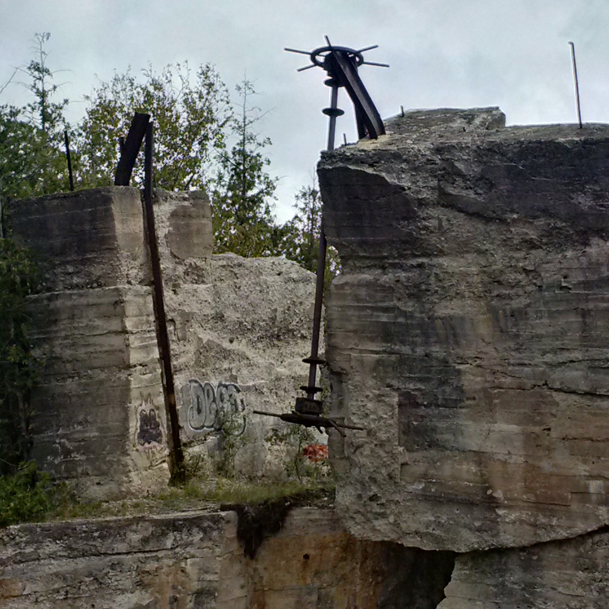
The dam was damaged in a storm in 1912  but was repaired and used until the power company closed in 1923.  The crank wheels that raised and lowered the sluice gates have been ripped off of the left anchor and now dangles toward the river.  The block of concrete that holds the remaining anchor is sliding toward the river and will likely soon topple in.  The cover photo shows a look up the sluice gates and shows the extent of the collapse.

IMG_20150913_131050_hdr

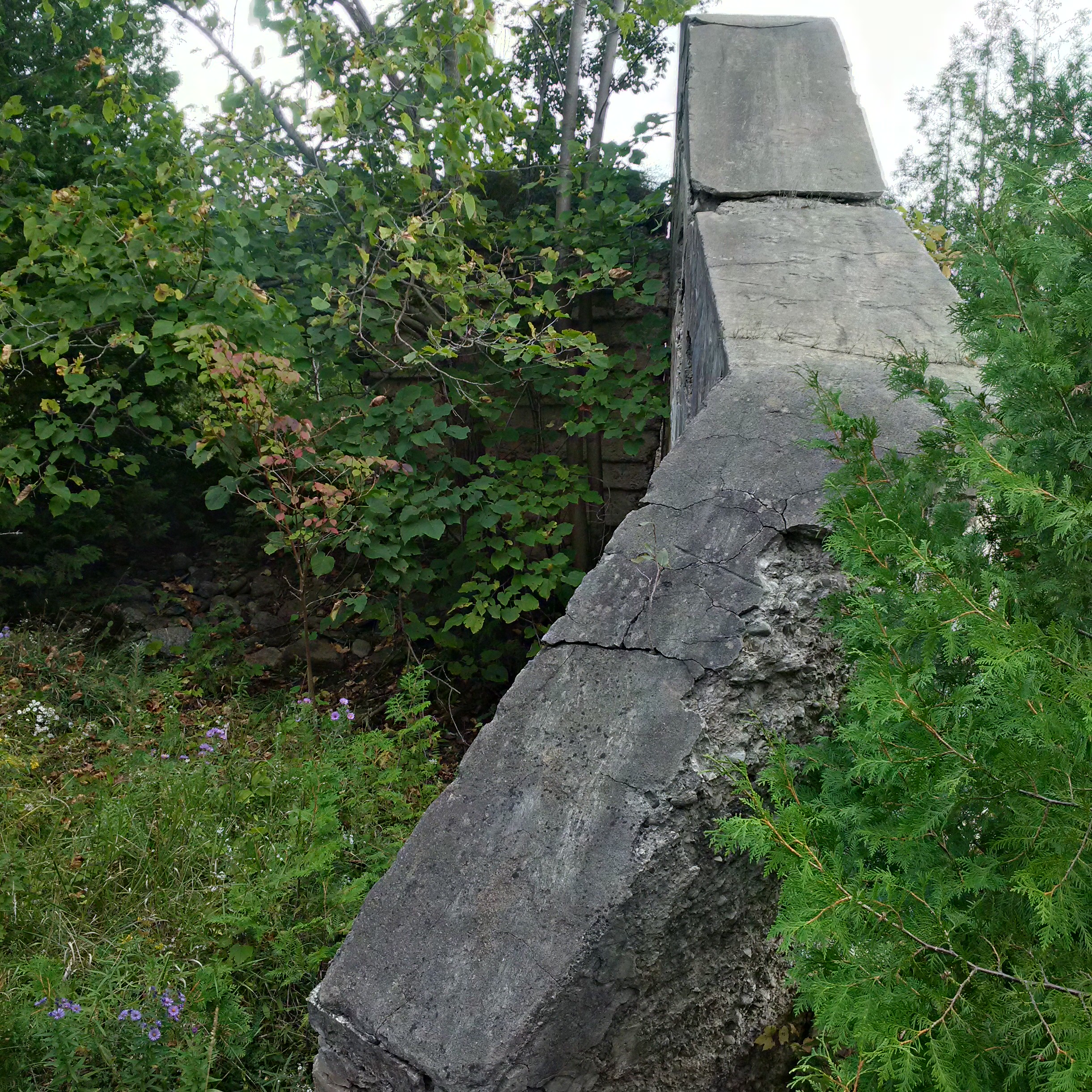
The abutments on this side of the river are little more than a short wall of concrete.

IMG_20150913_130330_hdr

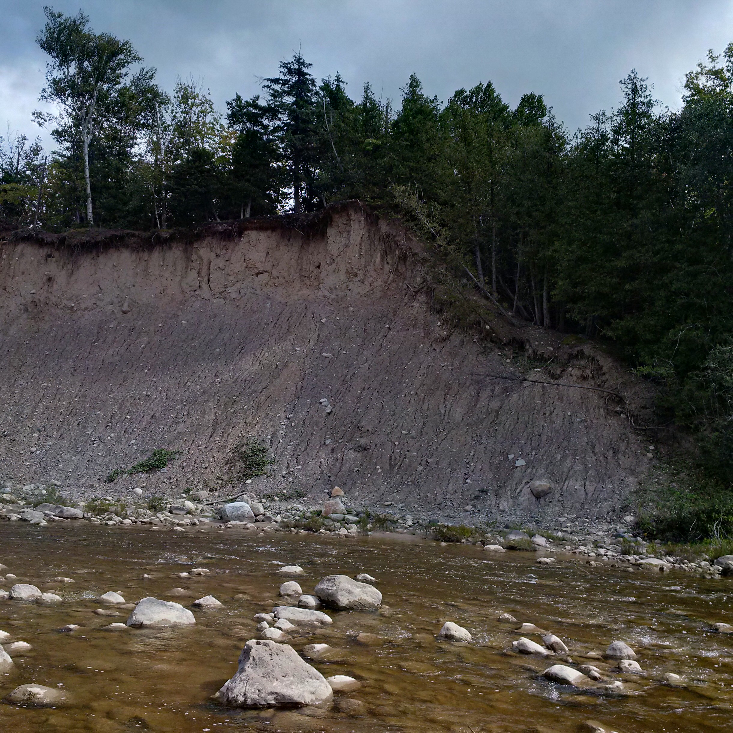
This high bank of Algonquin Beach Gravel is in constant erosion.  Where it once provided the upstream berm for the power dam it now has crept back to the point where it allows the river to run behind the dam during flood time.  This is accelerating the deterioration of the old dam and sluice gates.

IMG_20150913_132423_hdr

Along the berm that forms the wall of Trout Lake is a second set of sluice gates.  These gates controlled the water in a narrow finger lake that fed the Georgian Bay Milling and Power Company.  The picture used below was taken in October 2014 during that exploration.

IMG_0789

Along what is now known as Flume Trail you can still see traces of the wood from the open flume that carried the water from Trout Hollow lake to the power generating station.

IMG_20150913_144634_hdr

The metal down tube remains on the side of the hill where it was once connected to the wooden flume.  From here the water was dropped to the settling basin where the turbine wheel was located.

IMG_20150913_142118_hdr

The road is shown as crossing the river in the 1877 county atlas but there is no longer any sign of a bridge.  The power line shows where the road approaches the river on either side.  A few decades ago it was possible for certain high school students to drive across the river here when the water levels weren’t too high,

IMG_20150913_134950_hdr

The failure of the industries in Trout Hollow reminds us of the hardships faced by small businesses in the Victorian era.  Lack of resources and capital often caused them to fail when the economy changed and they were frequently unable to recover from tragedies such as the fire in Trout Hollow.

Google Maps Link: Meaford

Like us at http://www.facebook.com/hikingthegta