Yearly Archives: 2015

Huttonville

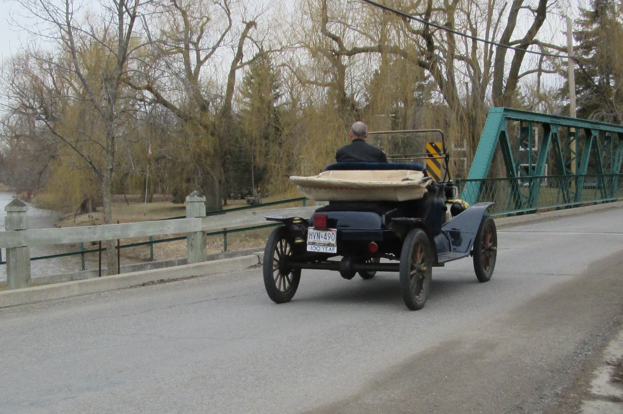
Saturday April 18, 2015

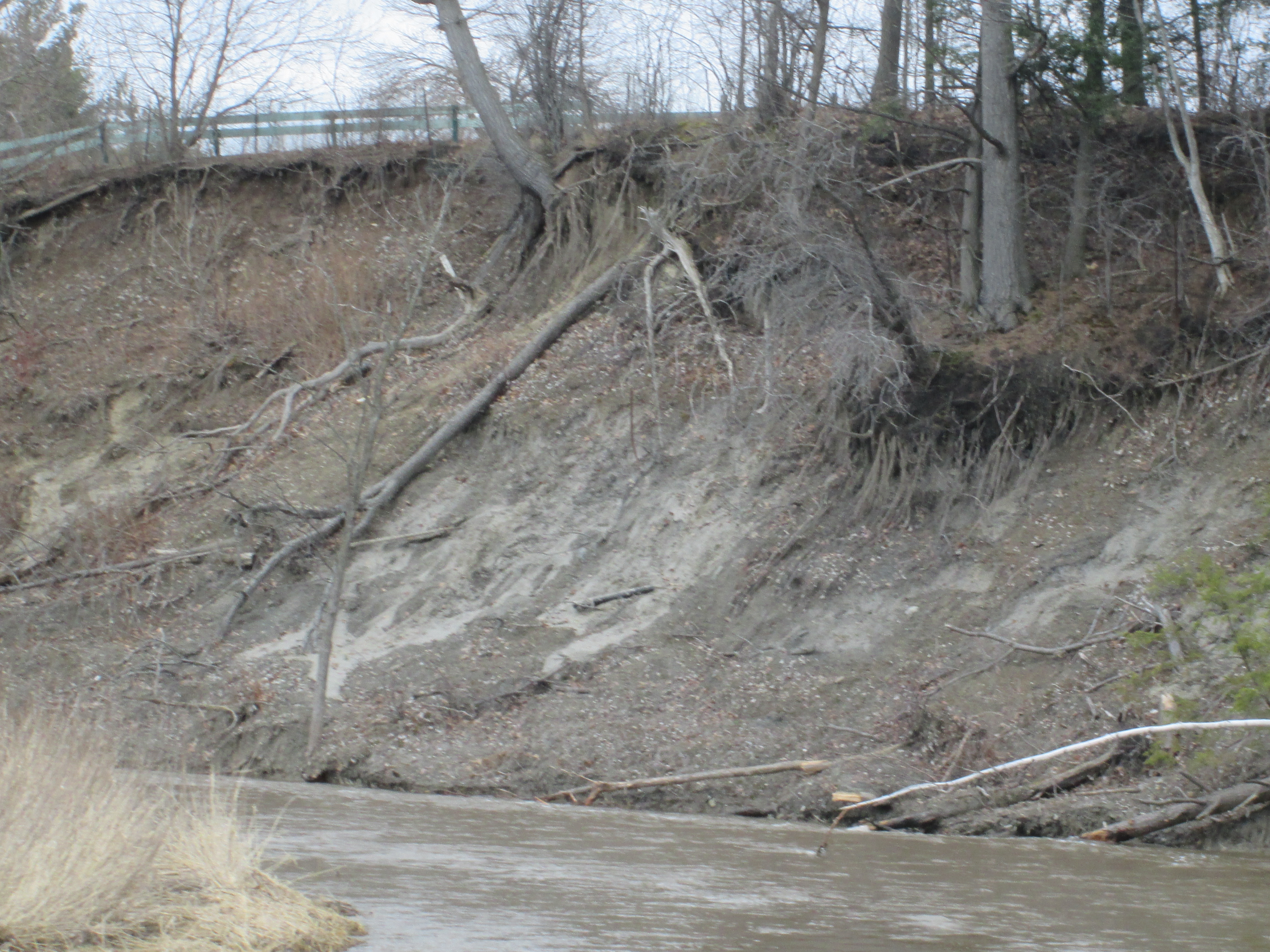
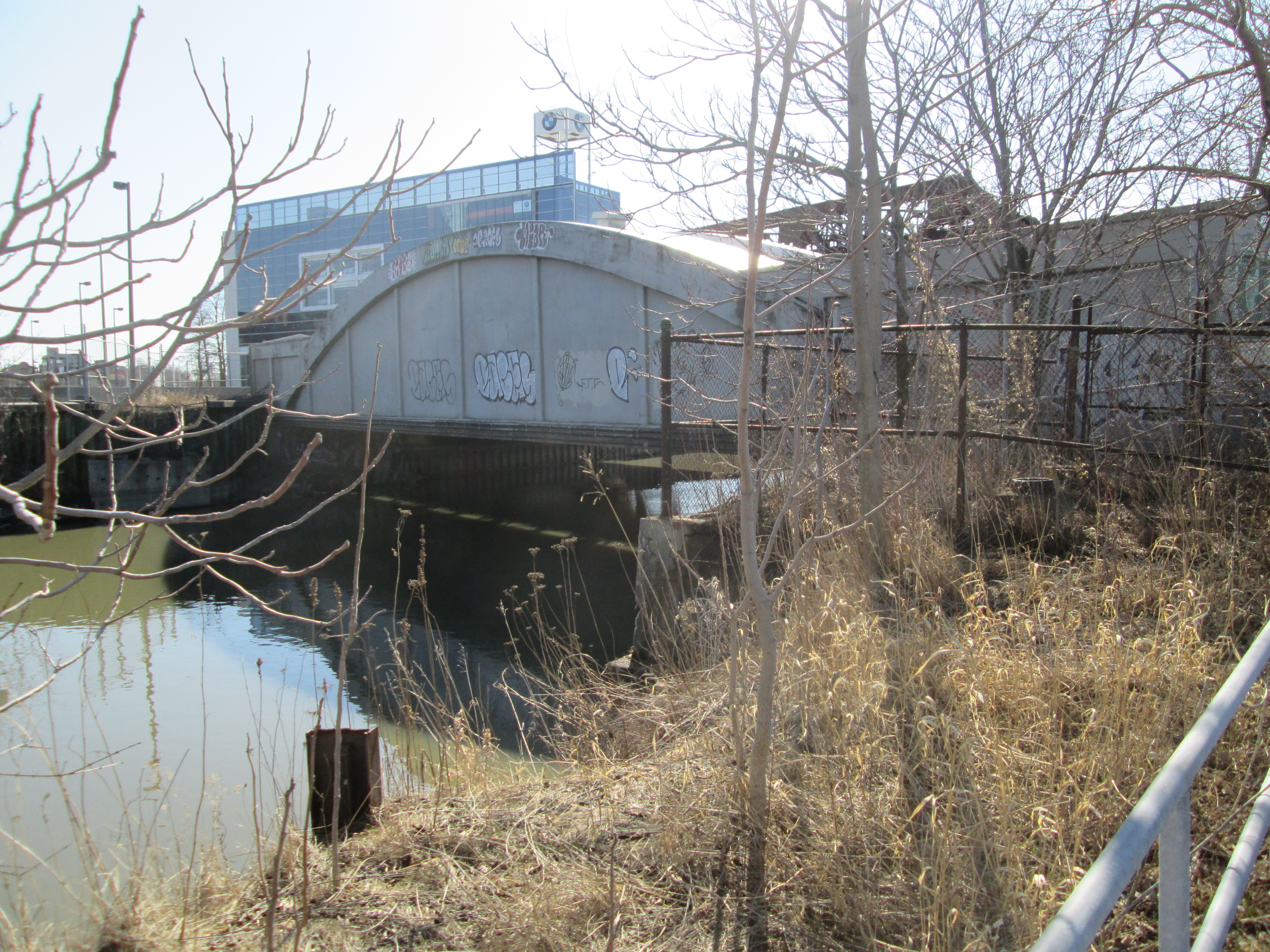
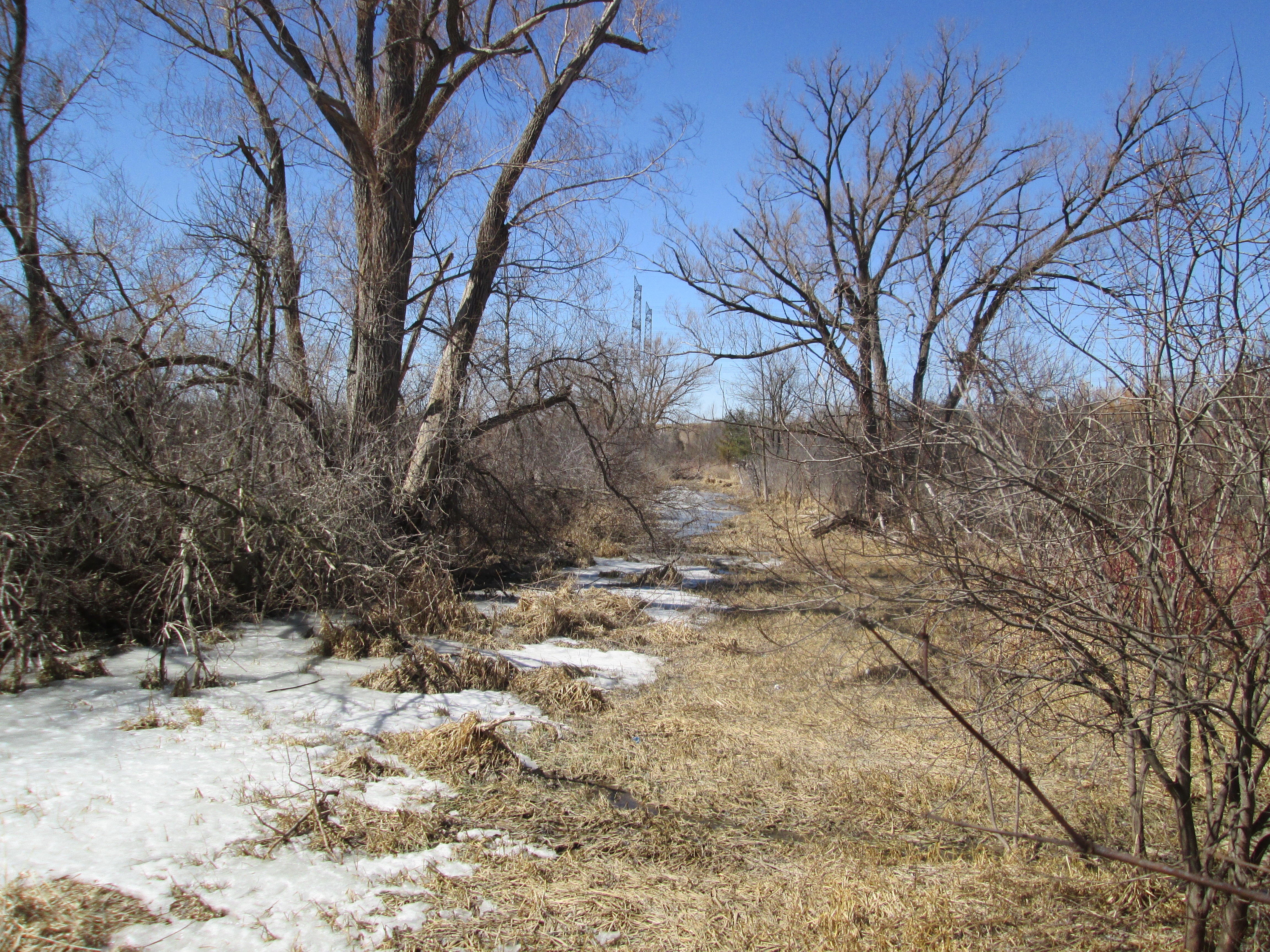
It was a beautiful sunny day with the temperature climbing to 20 degrees as we walked.  Hiking north on the Credit River from where we left off last week in Eldorado Park isn’t possible.  The river flows through Lionshead Golf Course which is considered to be Canada’s most difficult course.  The course extends across 520 acres all the way to Mississauga Road.  Huttonville grew around mills that were established on the Credit River at Mississauga Road.  Today the river through town is clearly posted as no trespassing.

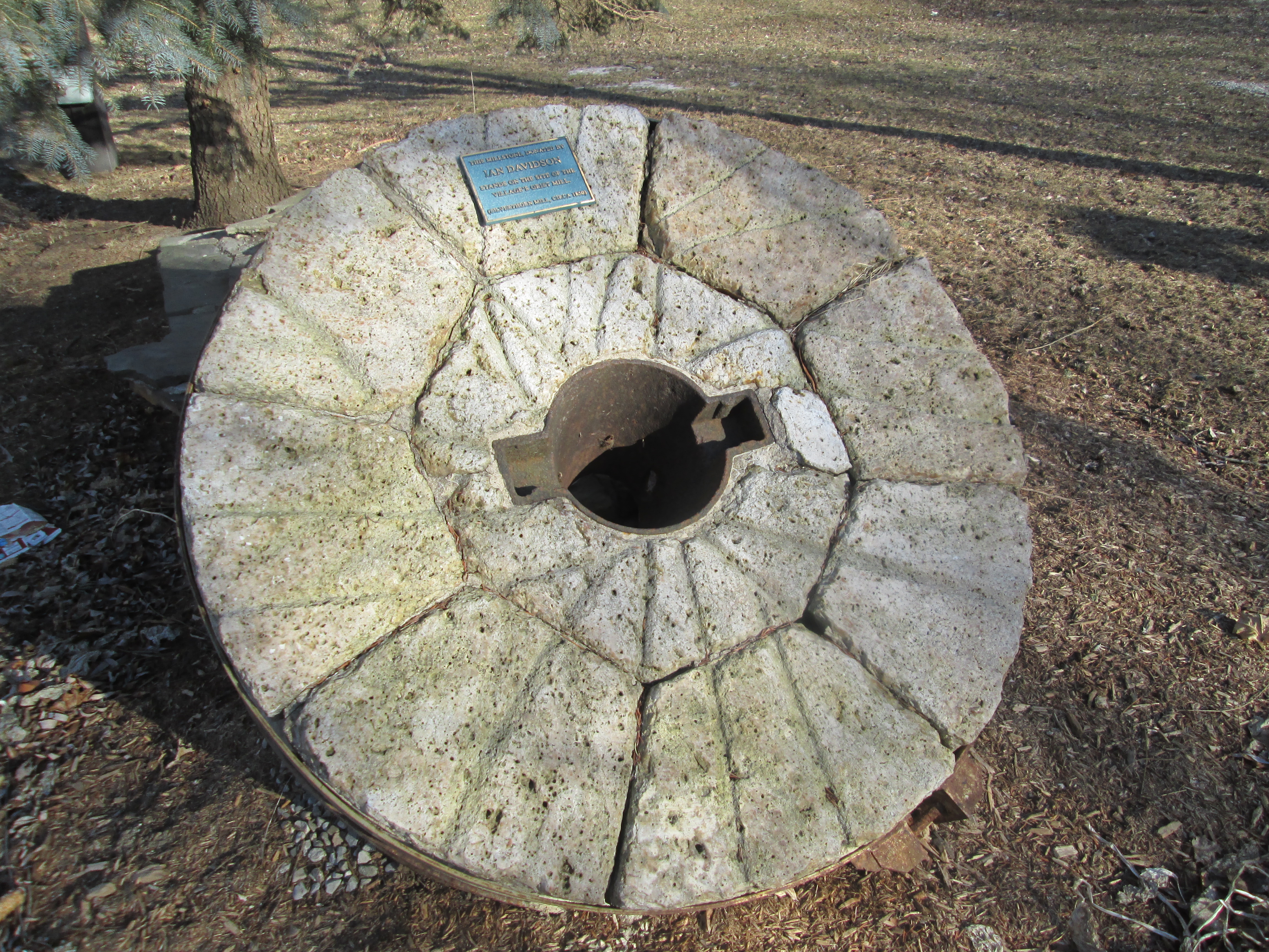
When the area was first settled around 1820 it was called Brown’s Mills after the grist mill.  The locals also tended to call it The Wolf’s Den after the creatures who lived in the forests and hunted their livestock.  James Hutton bought the mills in 1855 and renamed them Hutton’s Mills. When he opened the town’s first post office the name Huttonville was adopted.

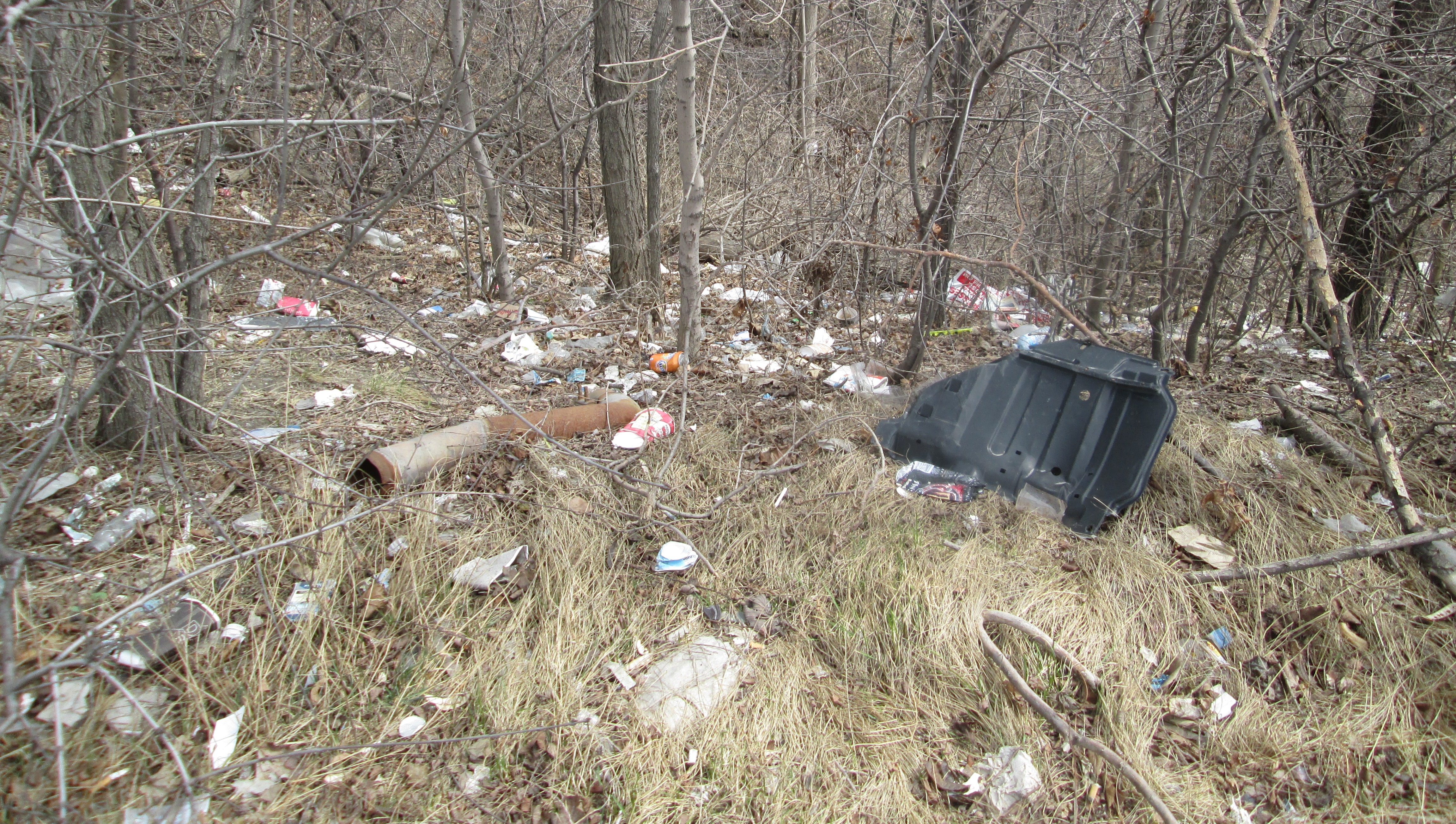
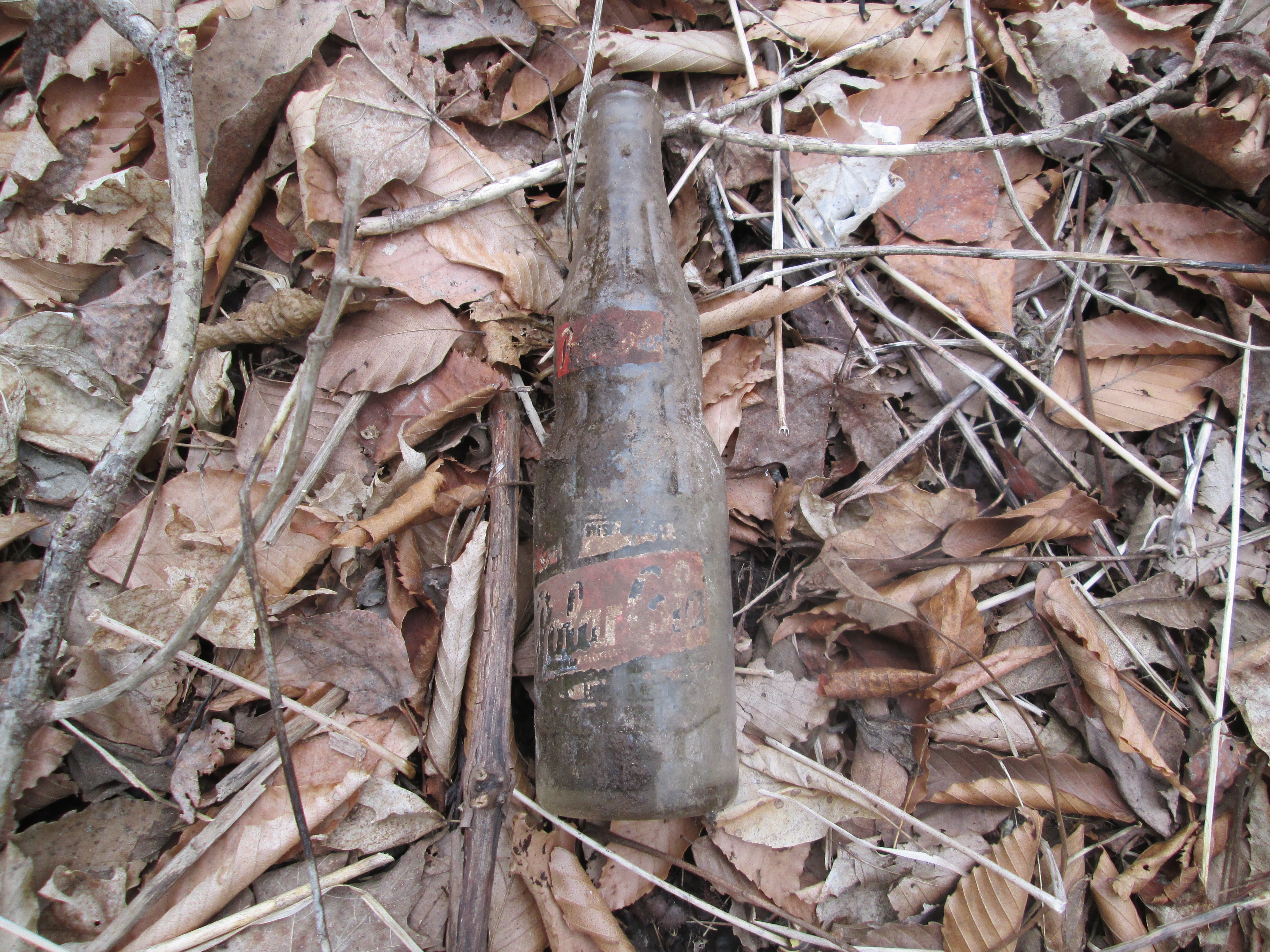
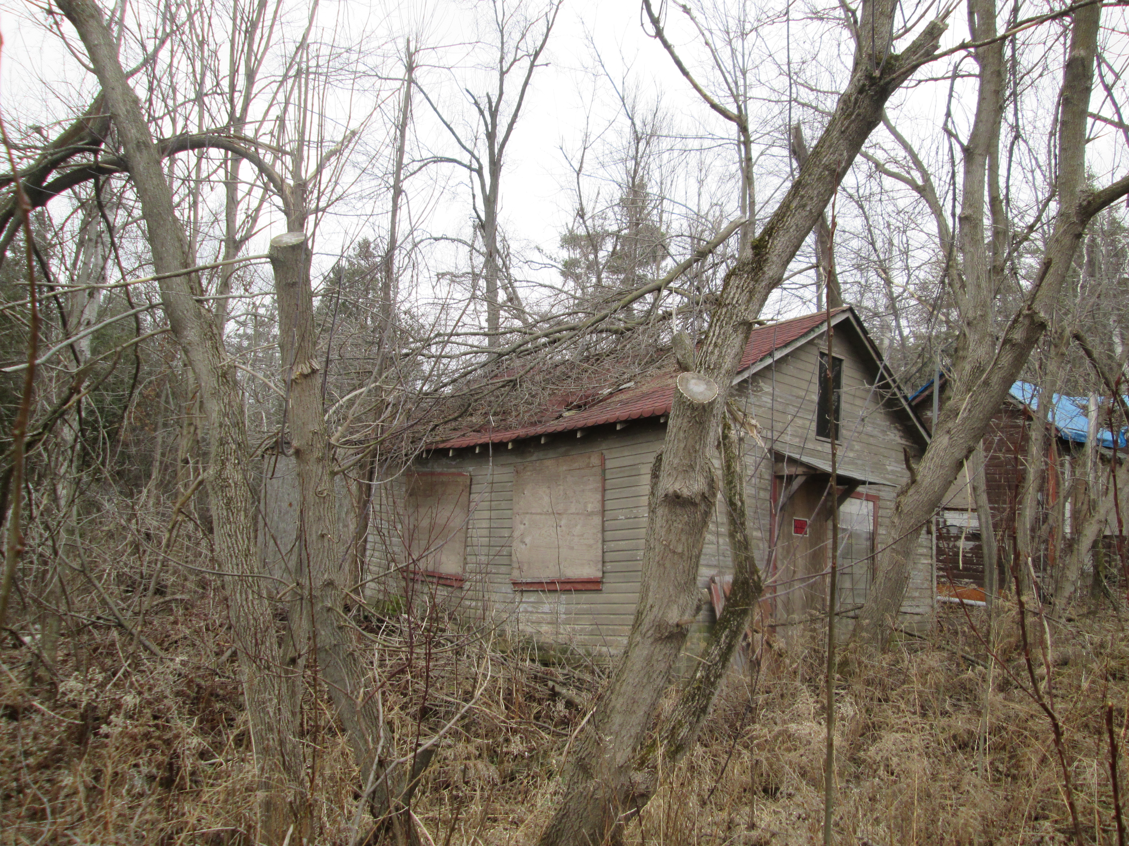
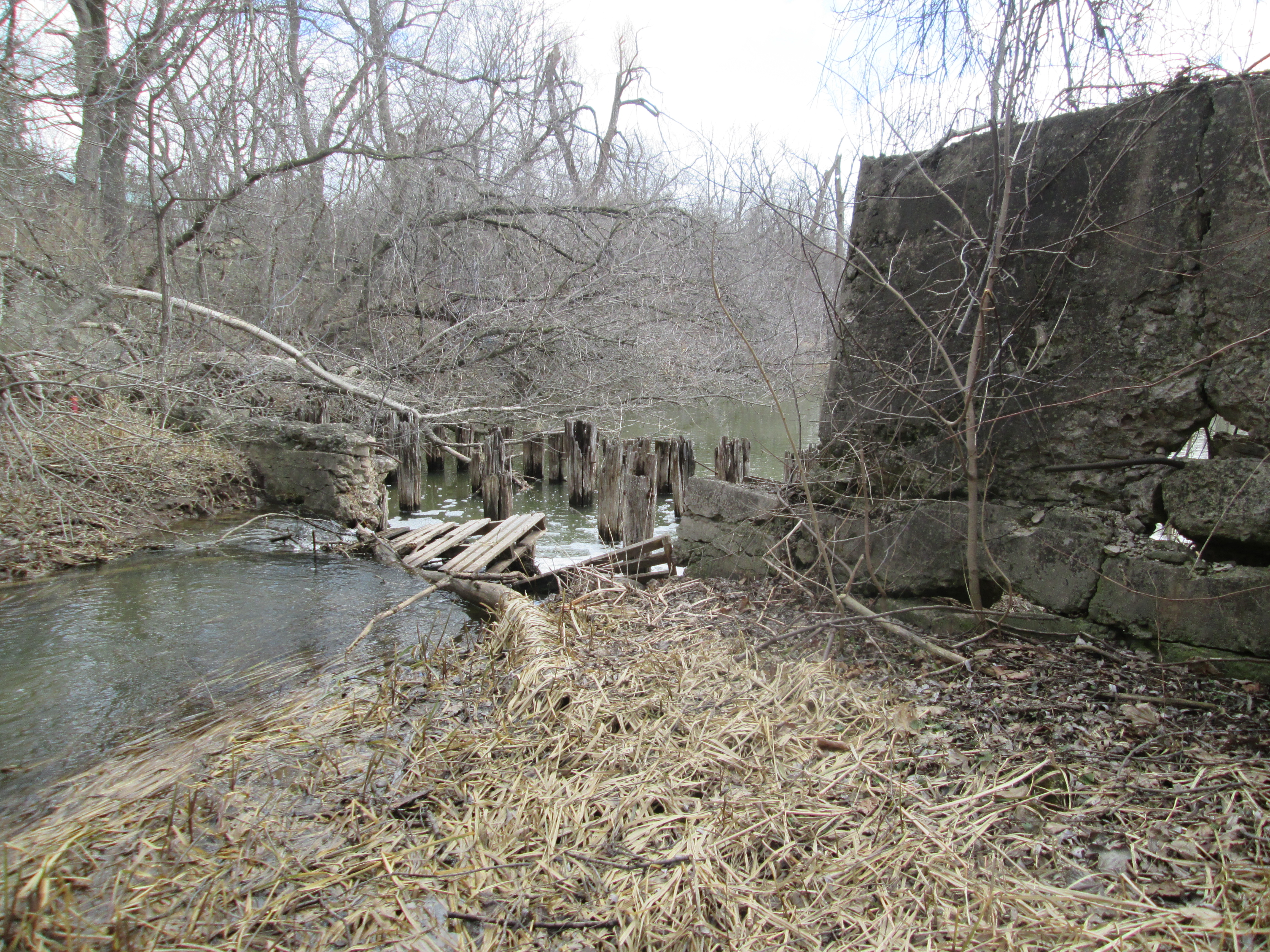
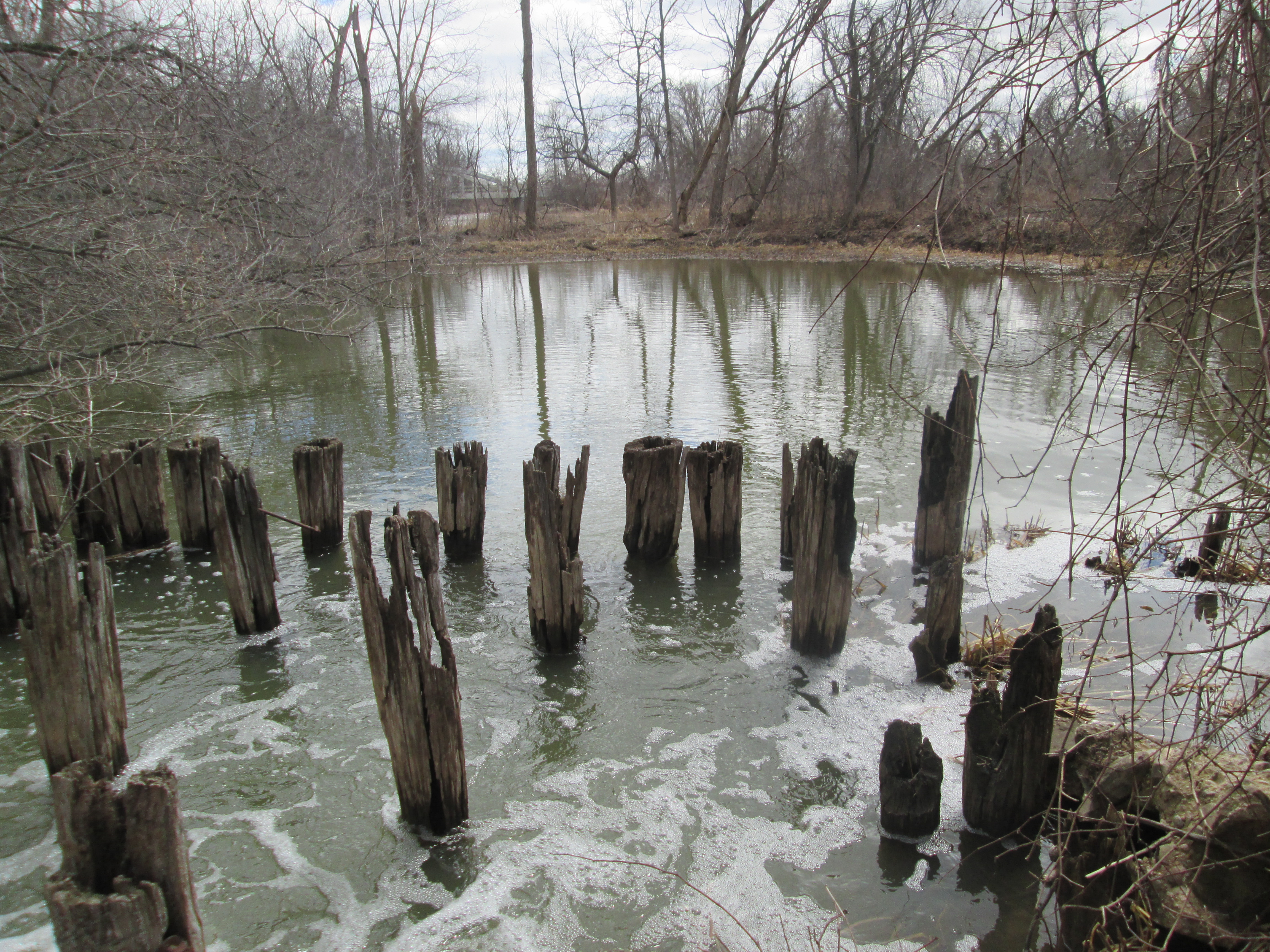
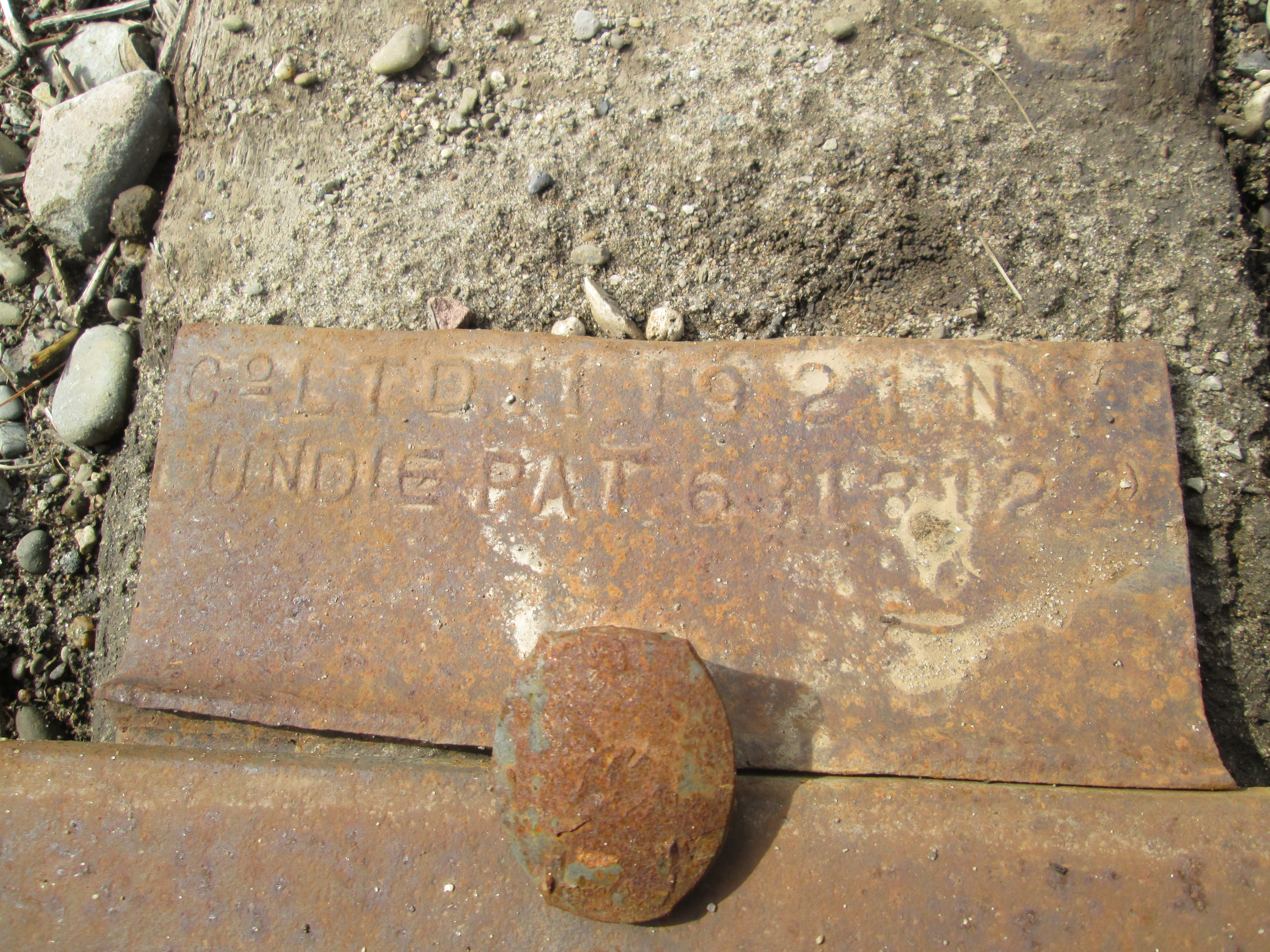
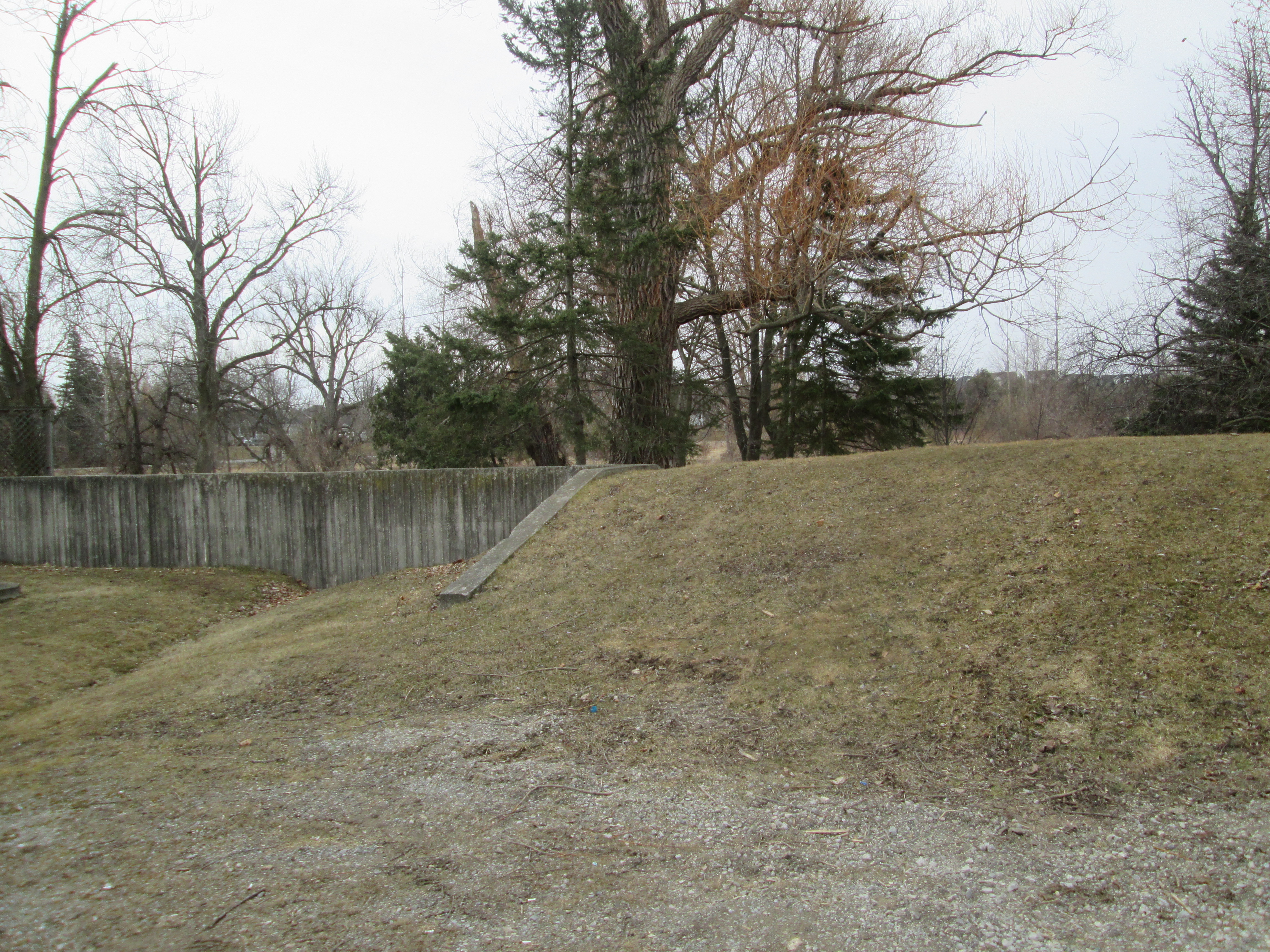
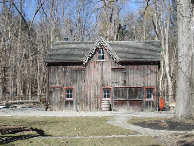
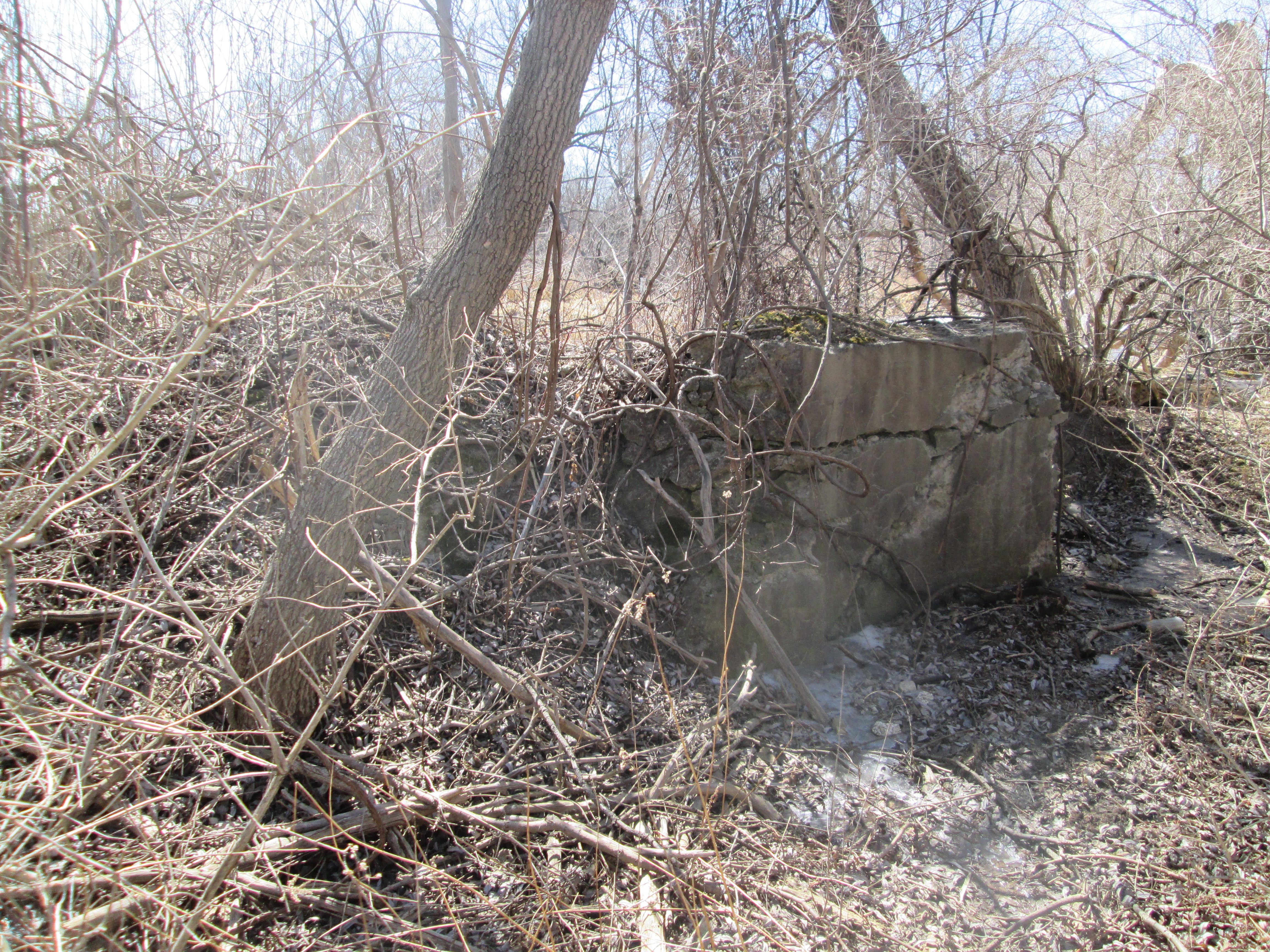
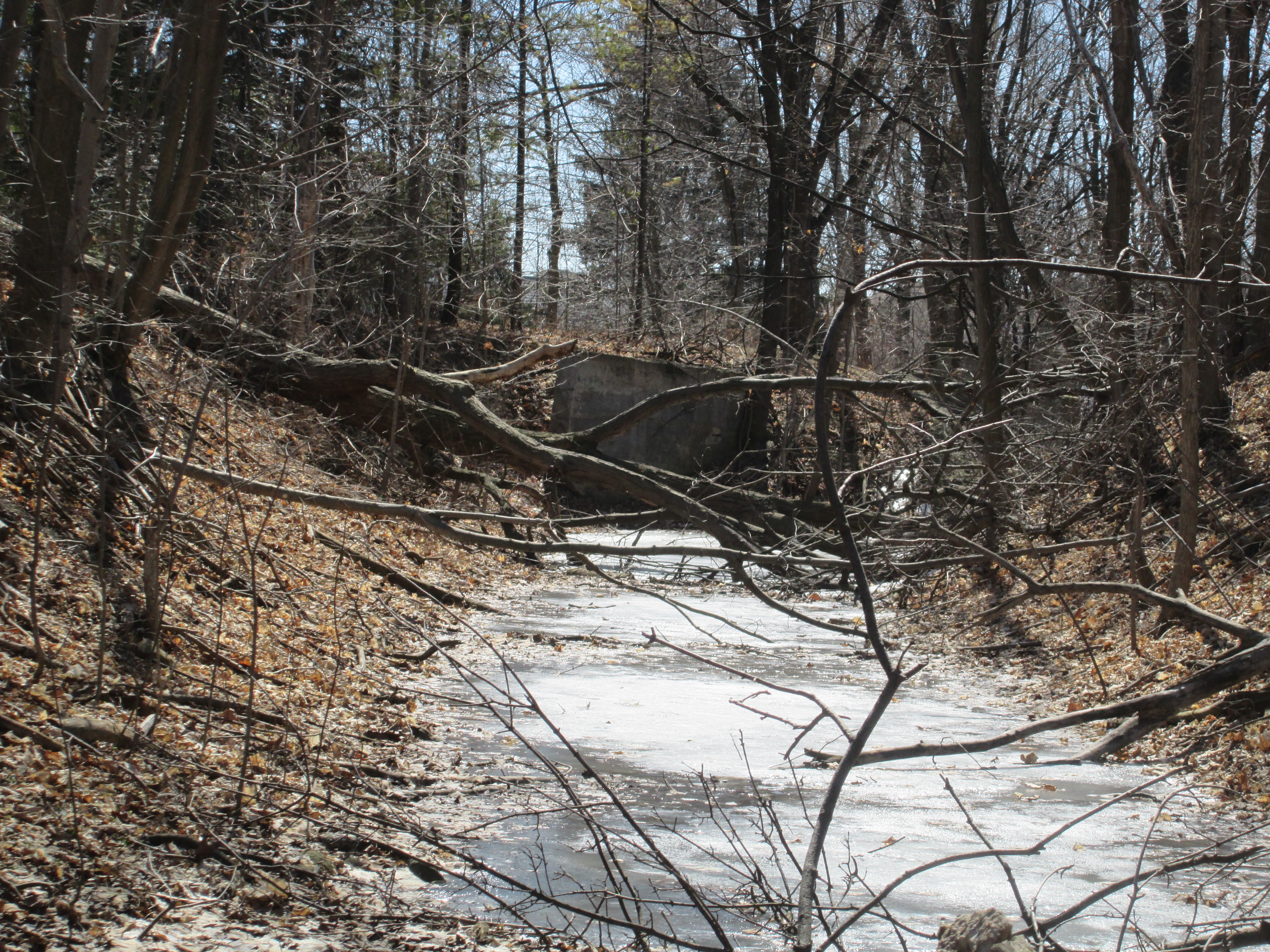
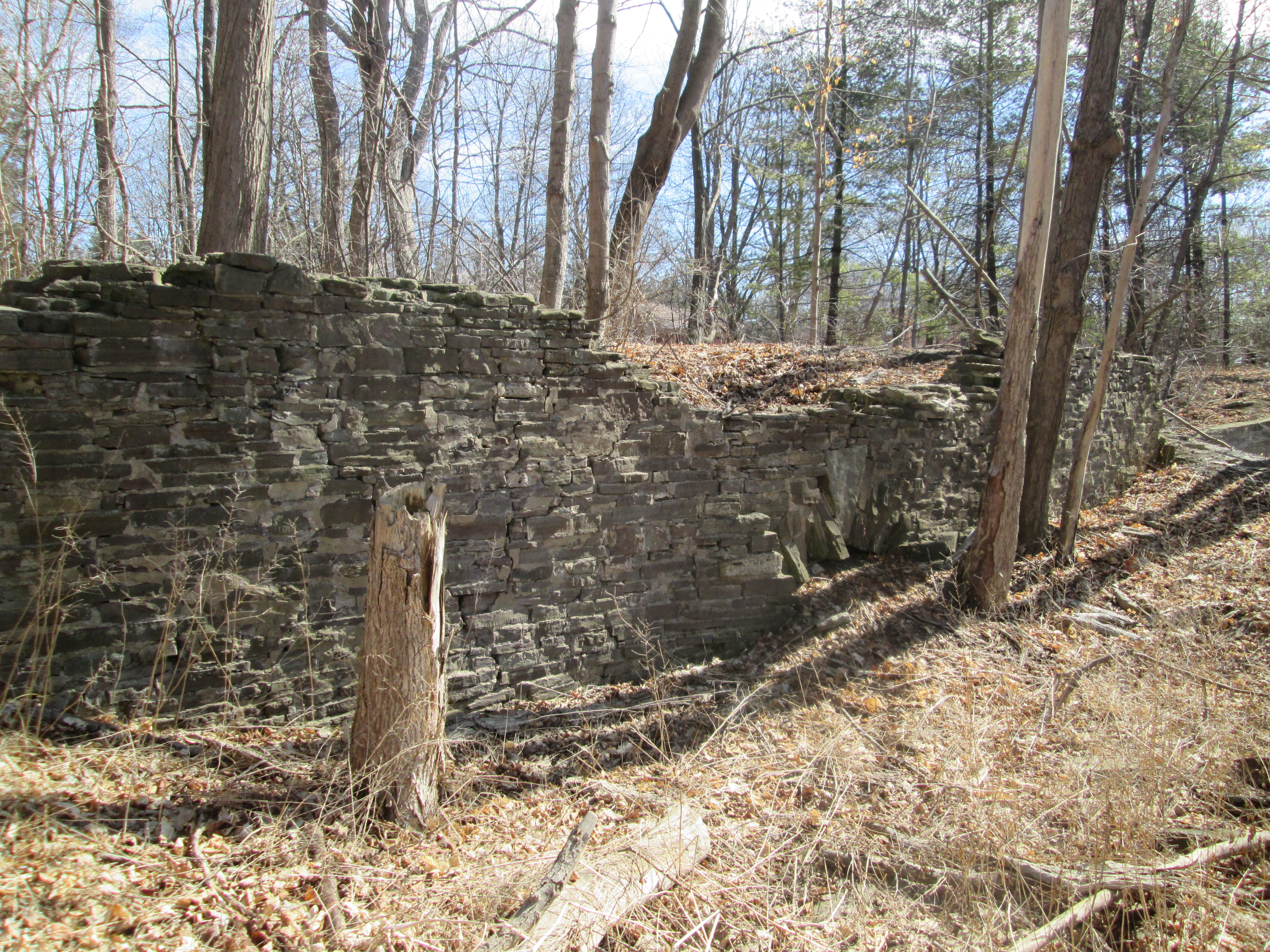
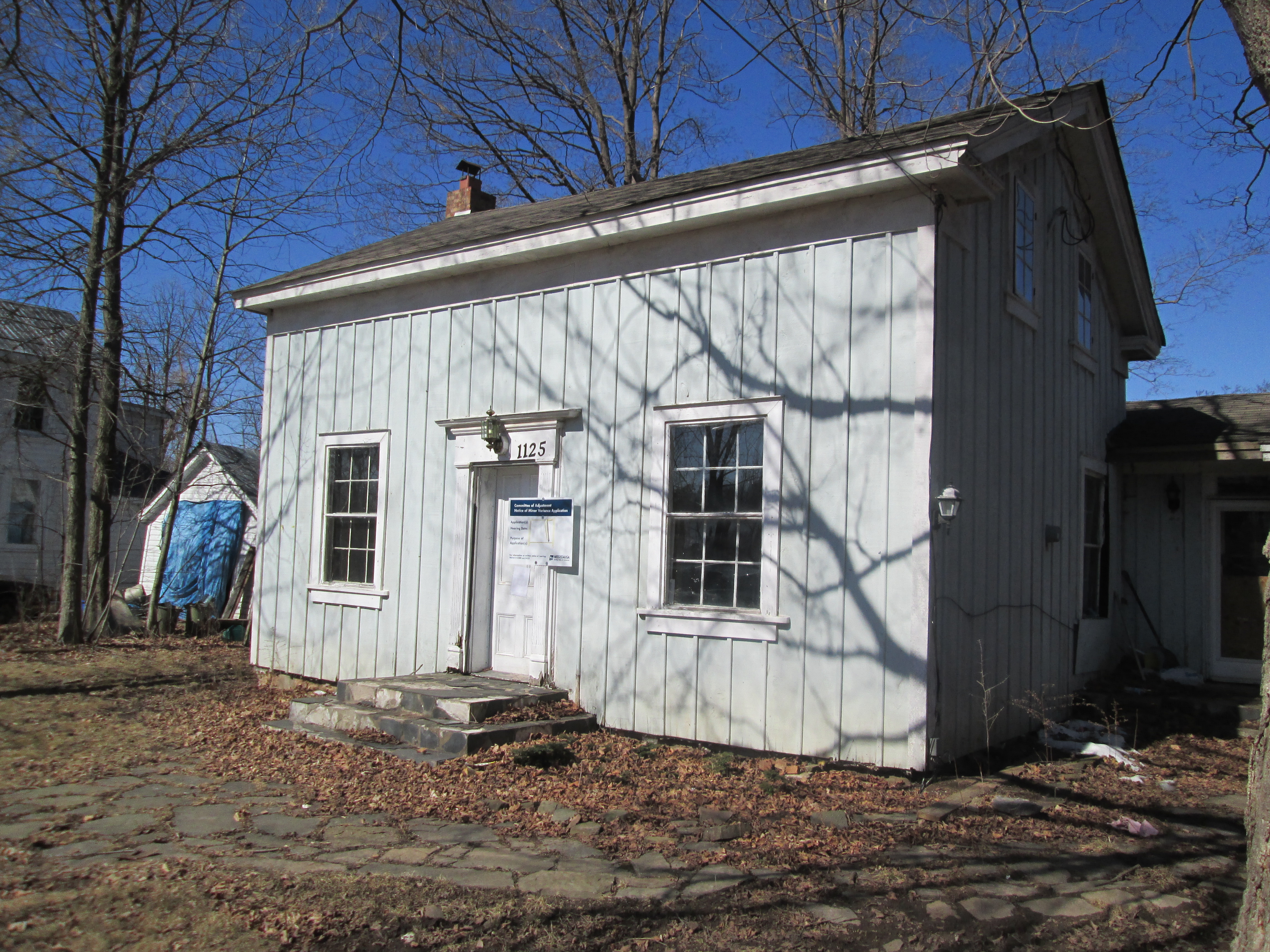
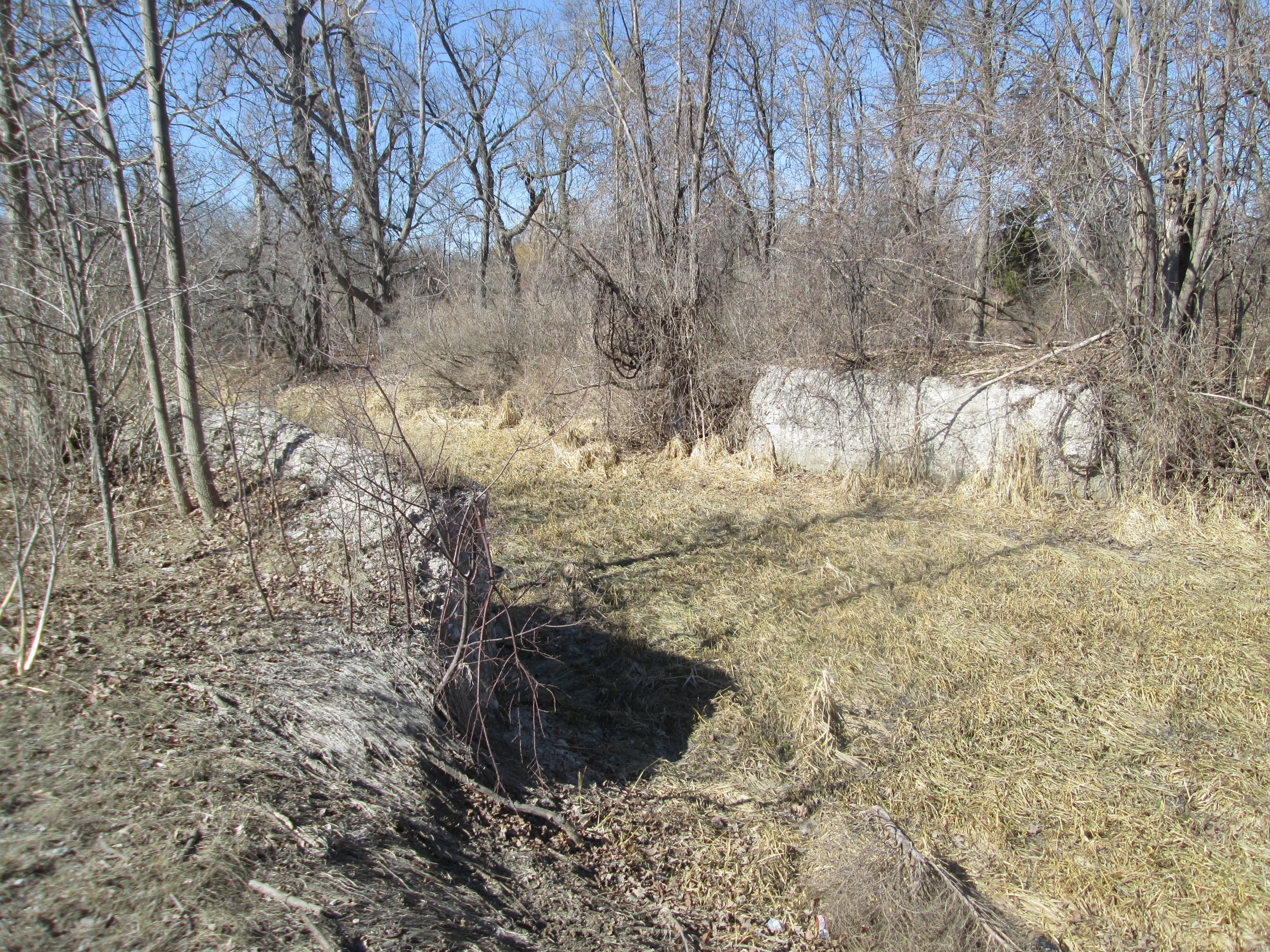
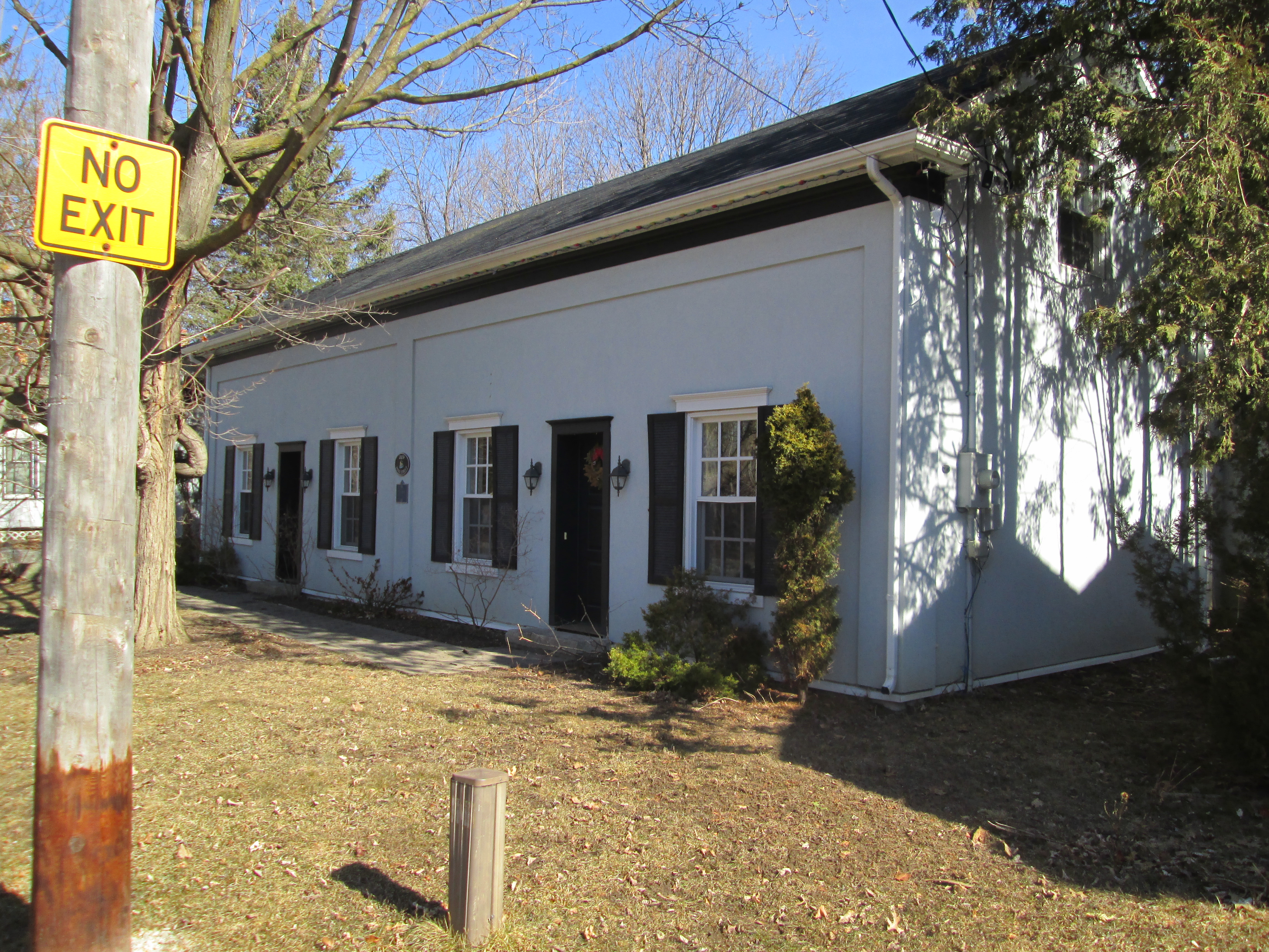
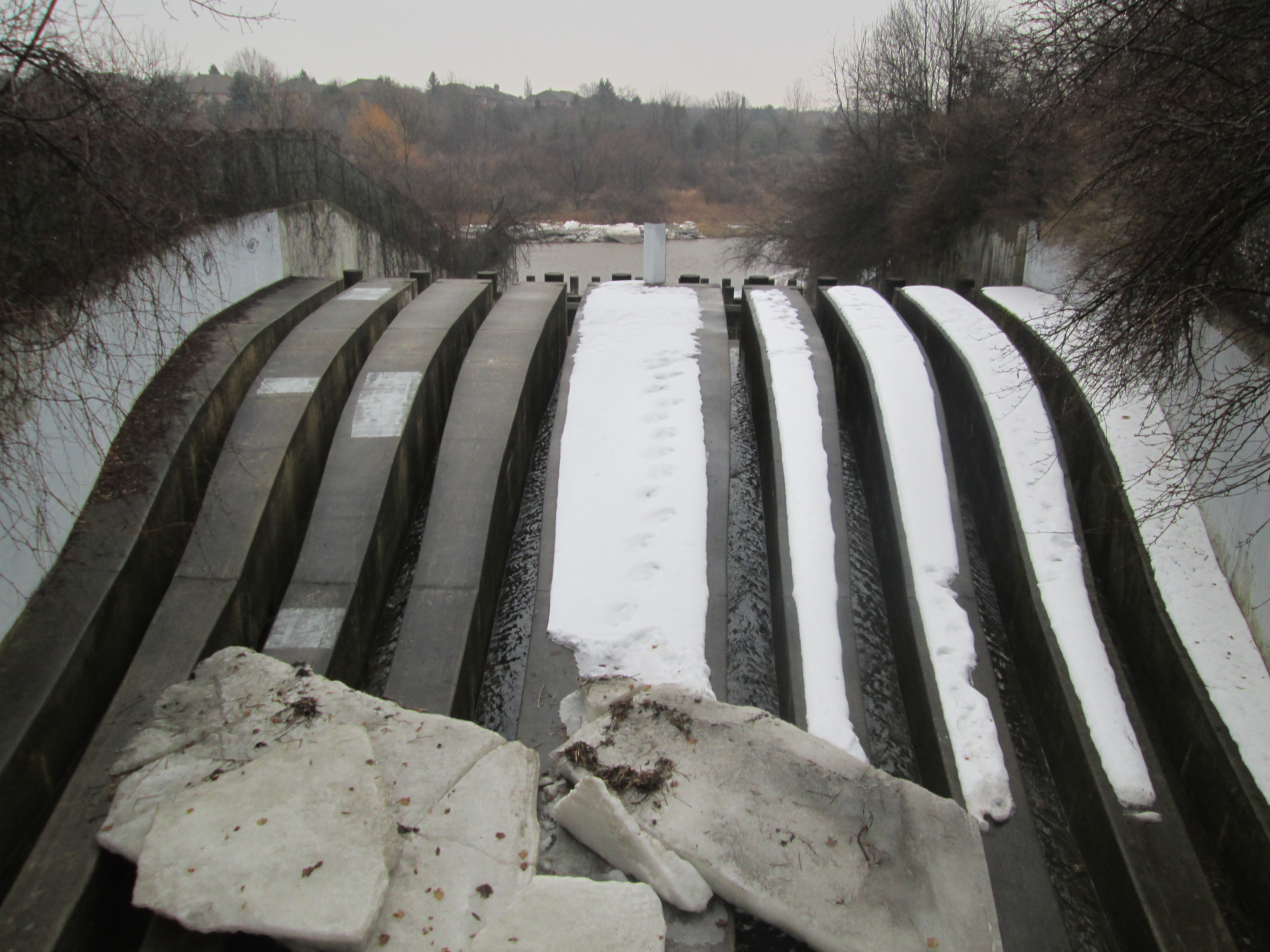
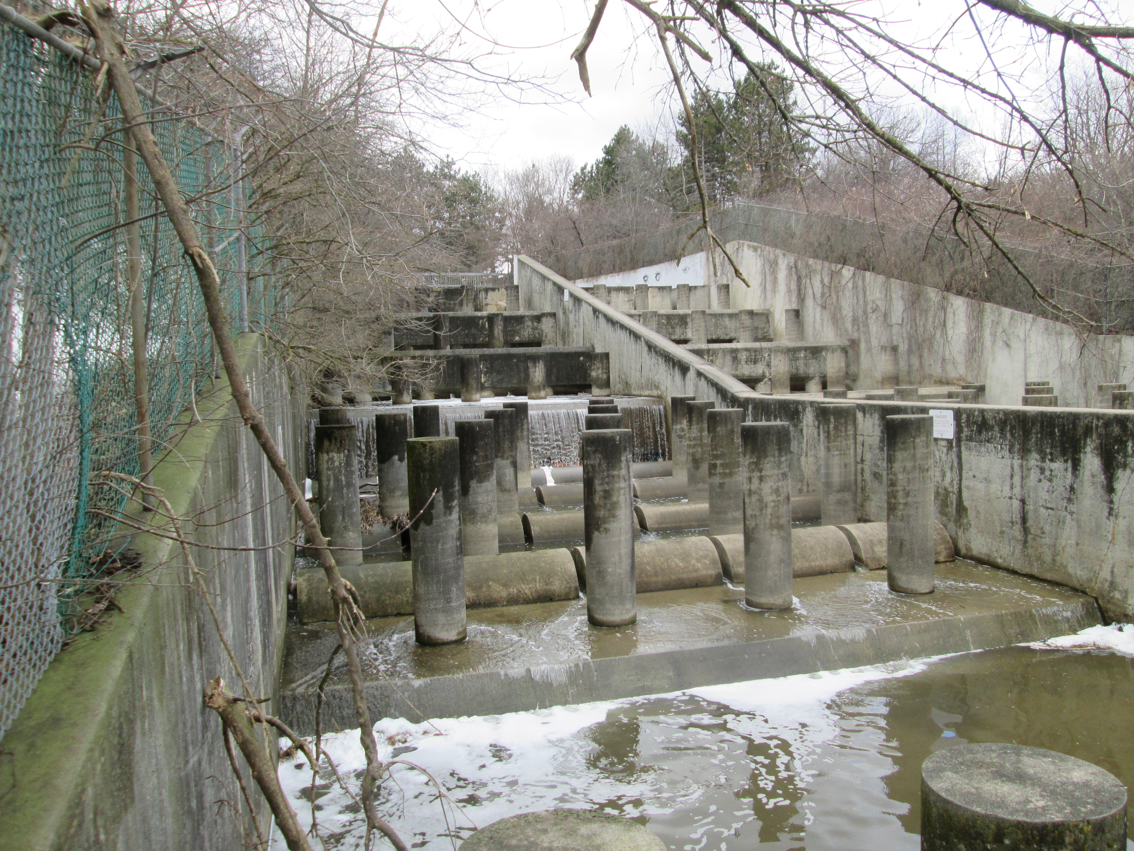
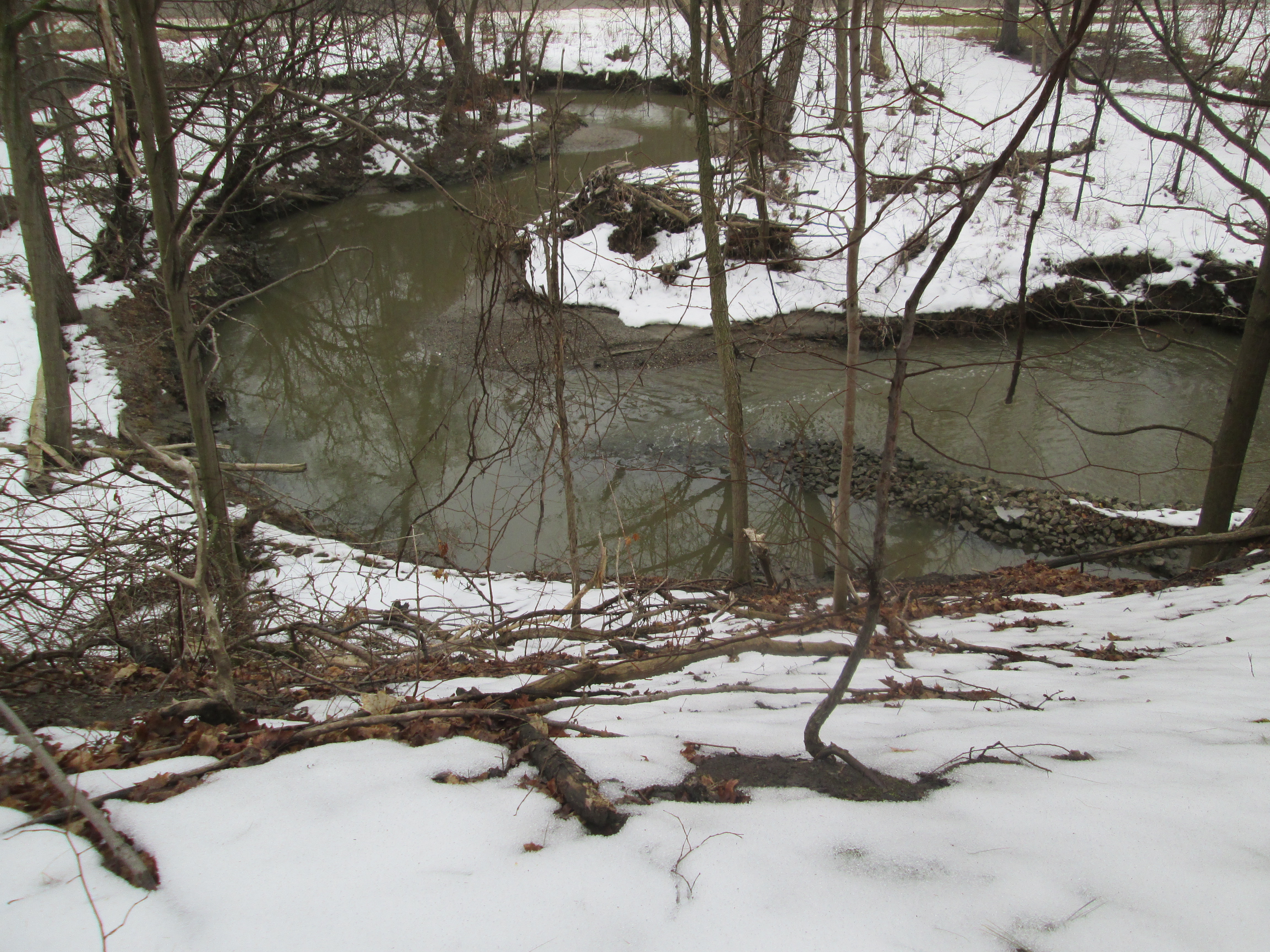
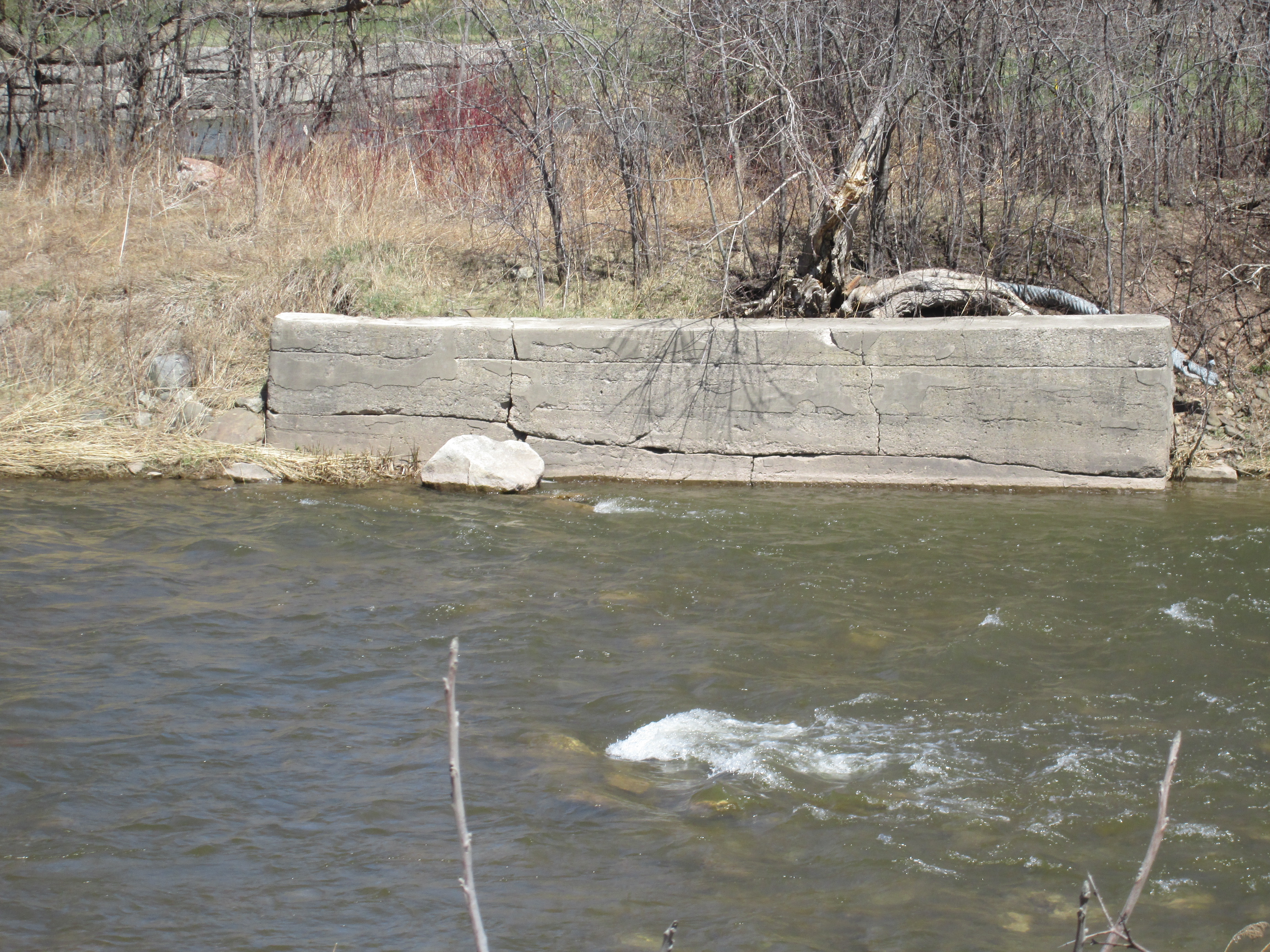
We parked on the small section of old Mississauga Road where Queen Street dead ends just above Huttonville.  There are a couple of abandoned houses rotting in the woods here whose pictures will be presented on our Facebook page.  We went for a walk along River Street where you can see the old mill dam in a few places.  We stopped to talk to the property owners who were tending their gardens.  They told us that Hurricane Hazel (Oct. 15, 1954) had done some serious damage to the dam.  They graciously allowed us access to take a few pictures.  The picture below shows the dam with the sluice gates on the right.  The dam has a distinct lean to it as it reaches out into the river.  It was built in 1923 it was the fourth dam constructed at this site.

???????????????????????????????

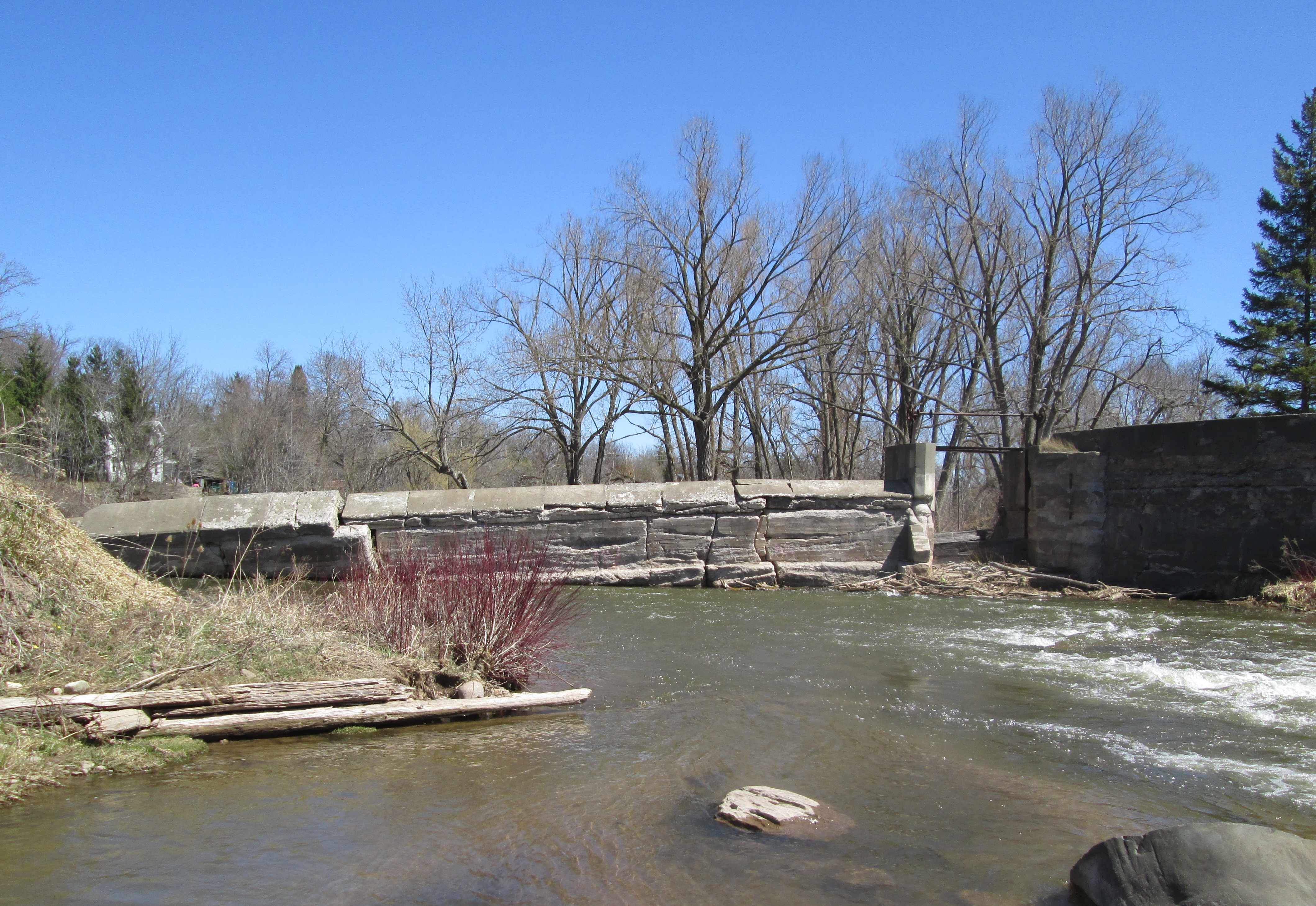
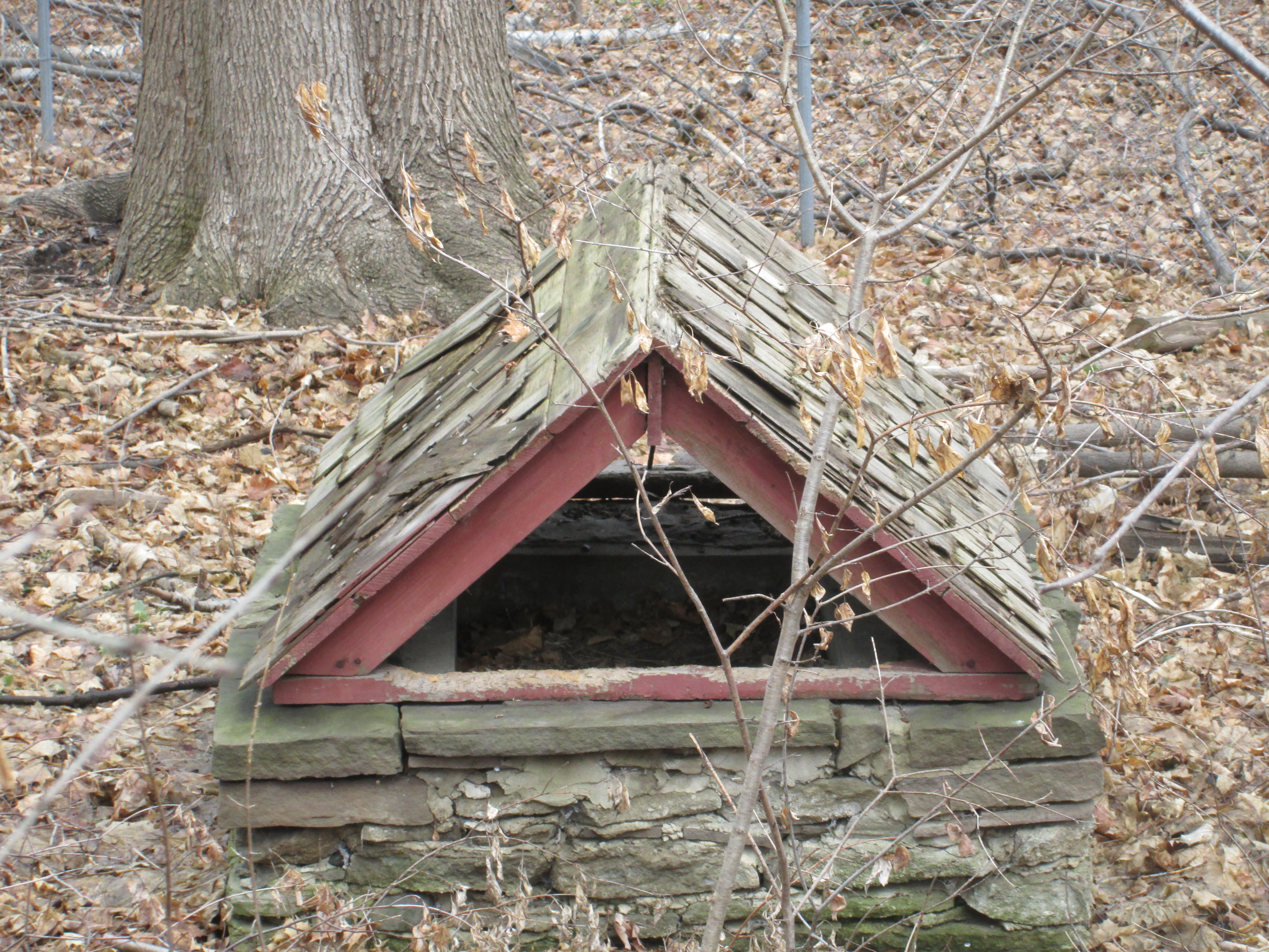
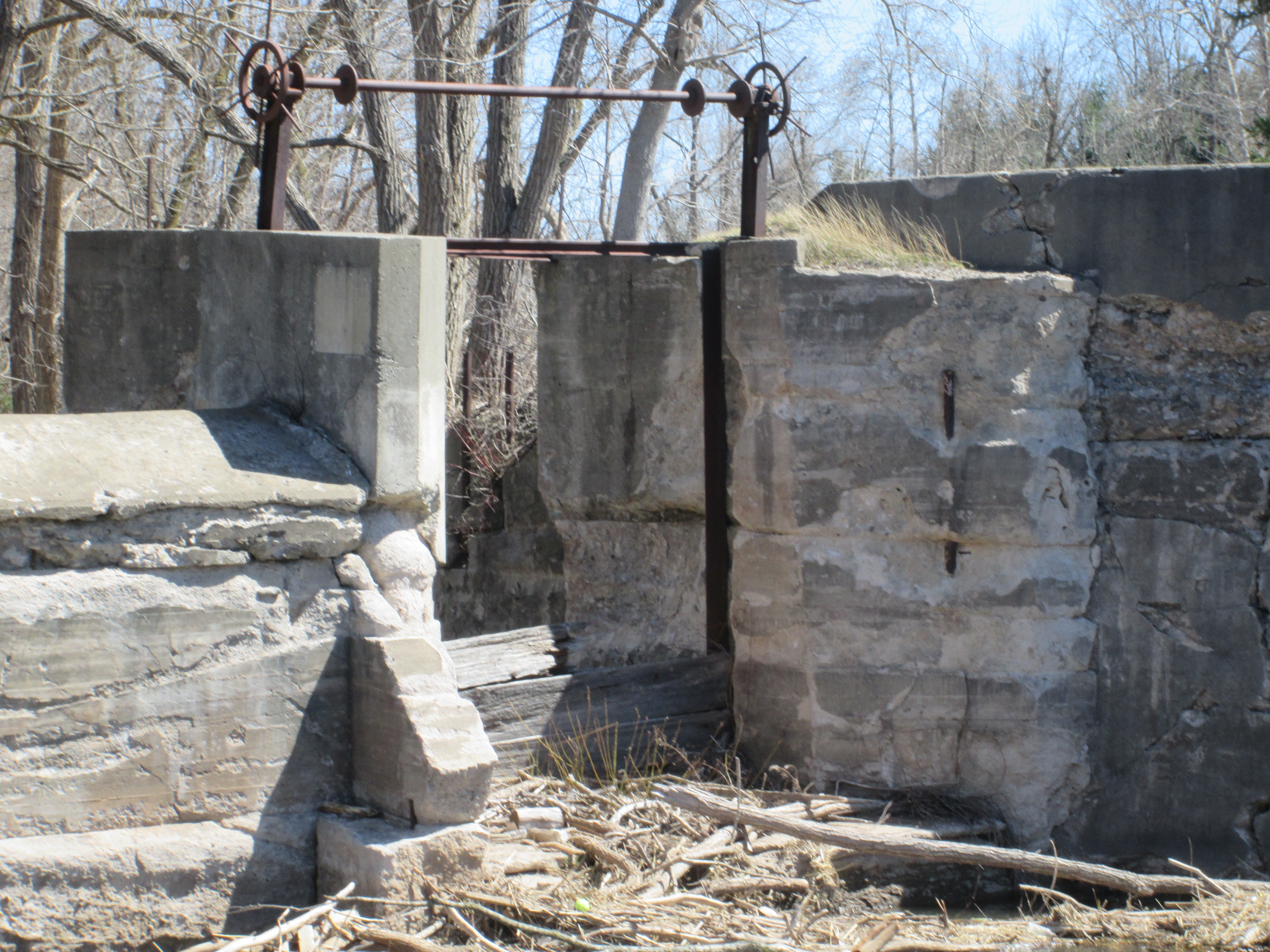
Sluice gates are the part of the dam used to control the flow of water out of the mill pond.  The miller wants to have a consistent flow of water to turn the wheel or turbine at a steady pace in the mill.  By raising or lowering the sluice gates he can continue to operate the mill at times of either high or low water levels in the river.  The sluice at Huttonville is an excellent example of how this worked.  The steel cranking system still stands above the gateway while the remains of some of the boards are in the bottom.  Behind this gateway is the head race that carried the water to the mills on Mill Lane.

IMG_3719

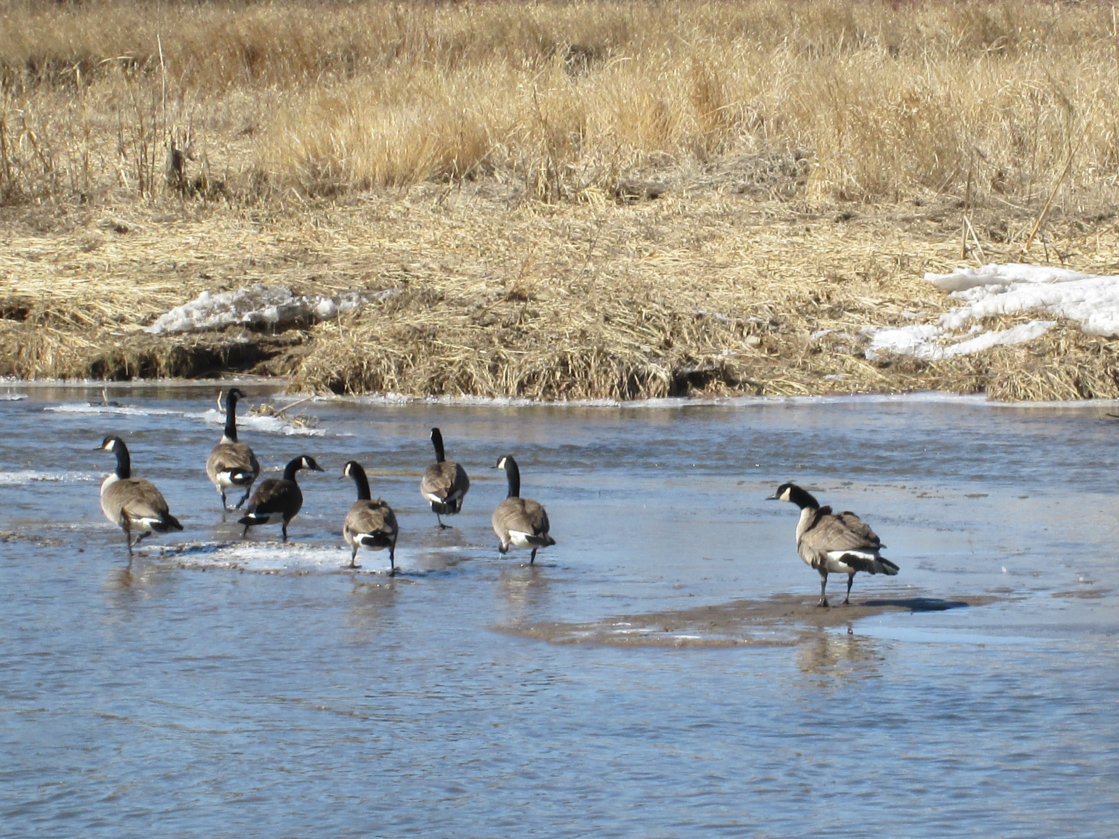
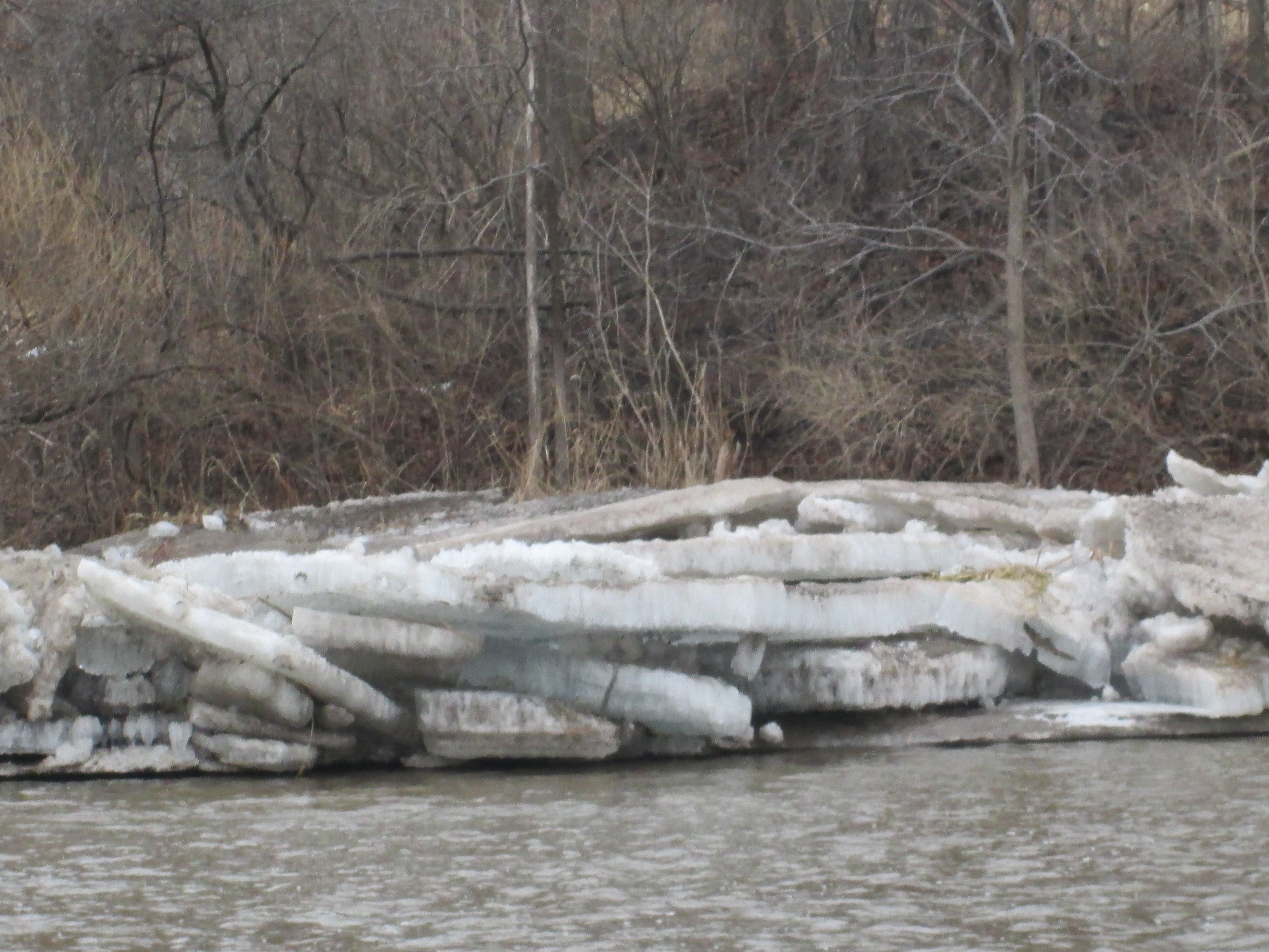
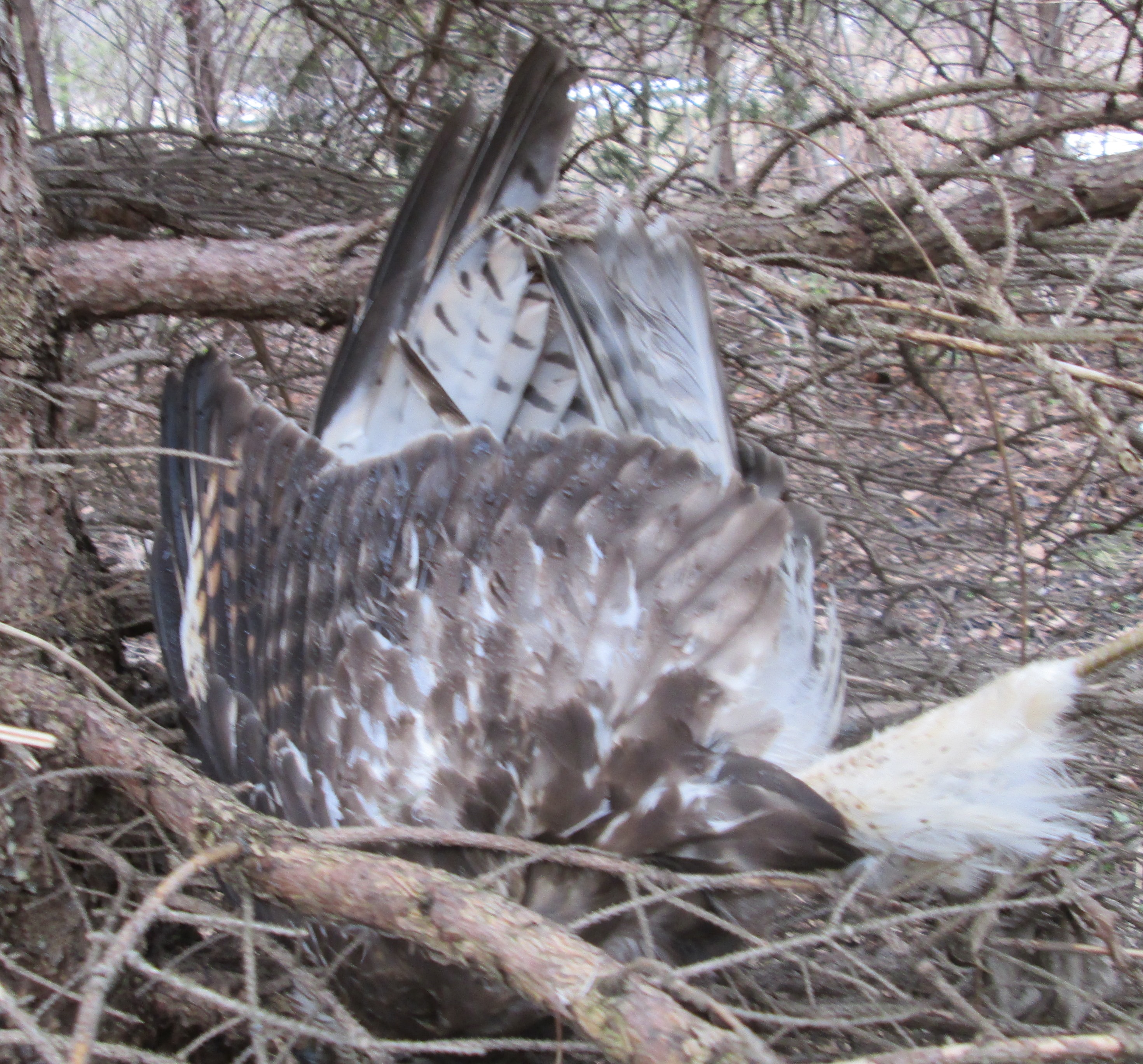
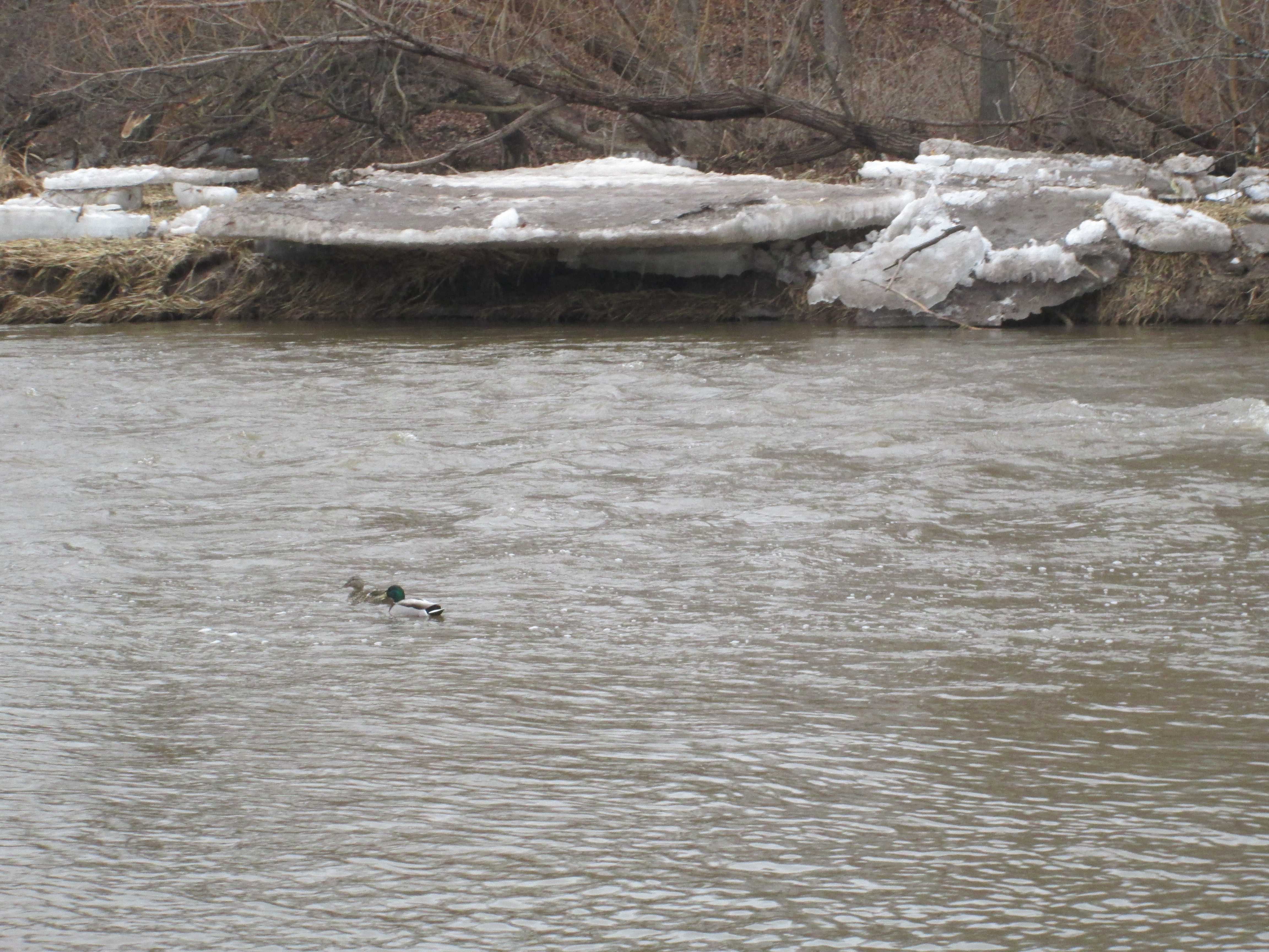
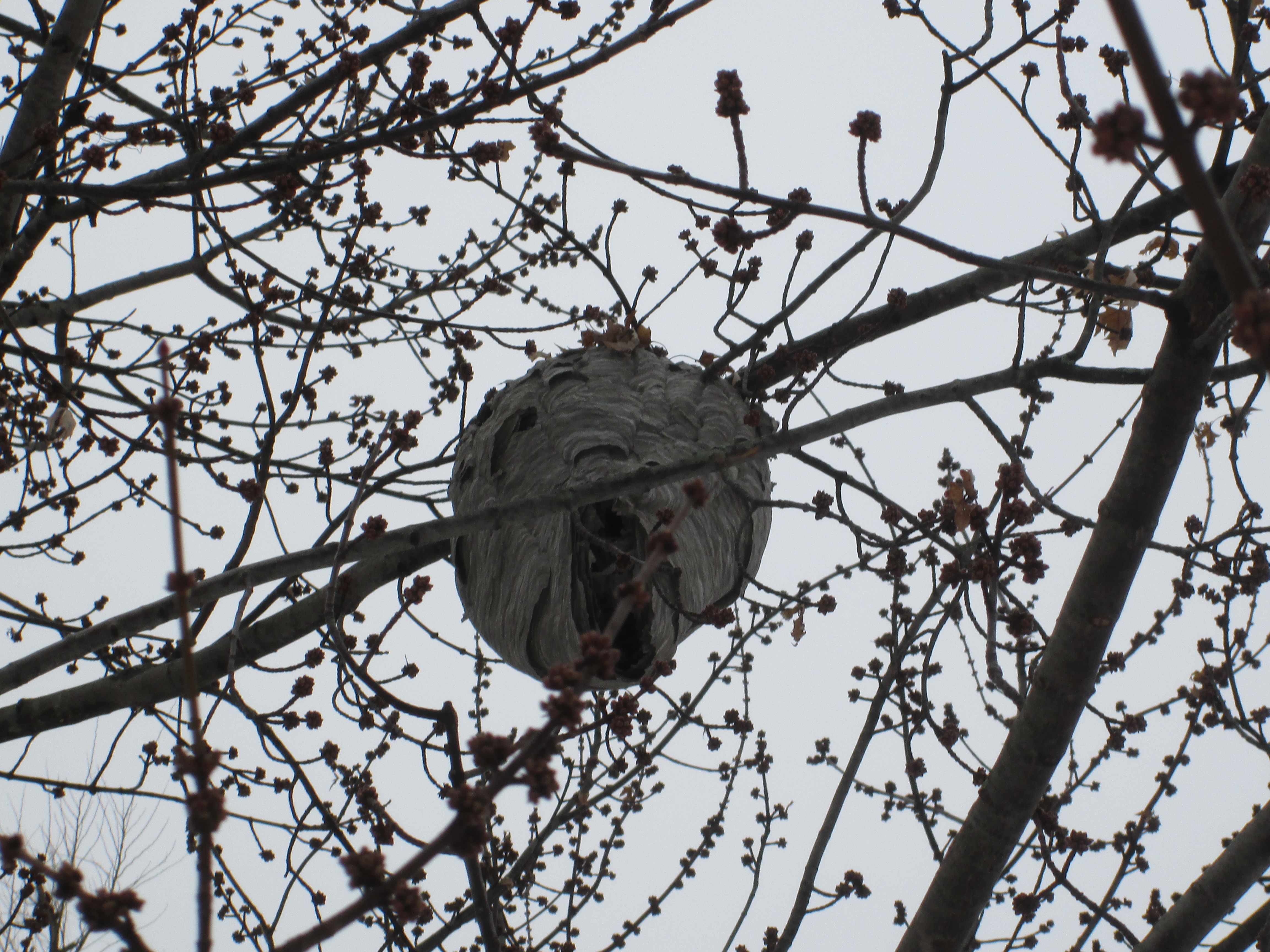
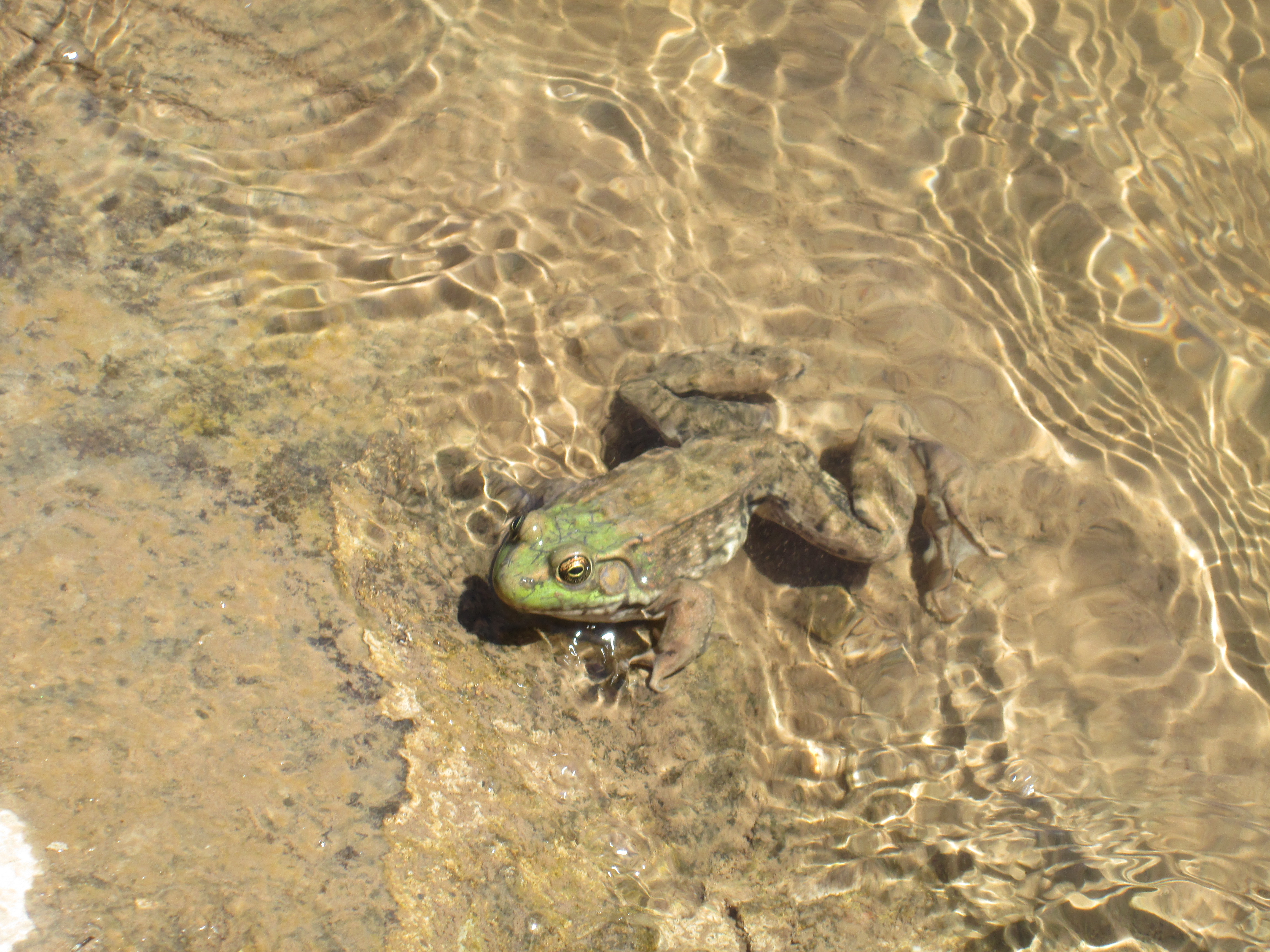
The American Bullfrog lives an average of 8 years in the wild. During the winter they lay on the mud at the bottom of the river.  They can’t dig in the mud like turtles do for the winter because they don’t actually hibernate.  Instead, they turn the body fluids in vital organs into glucose so that it doesn’t freeze.  If it gets too cold they will stop breathing and their hearts will stop beating.  When they warm up above freezing their bodies start to function again. As we were enjoying the old dam we saw many pairs of cormorants flying up the river.  Cormorants usually eat small fish but if one of them spots this frog sunning itself on the concrete of the old dam, this is one frog that won’t make it to 8 years old.

IMG_3715

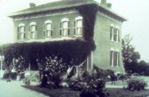
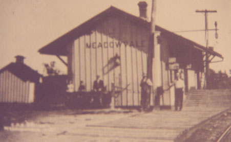
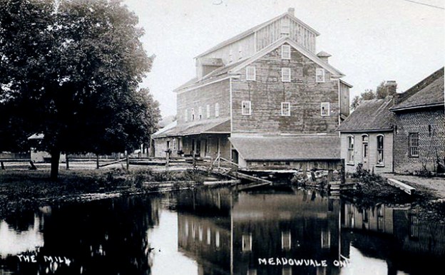
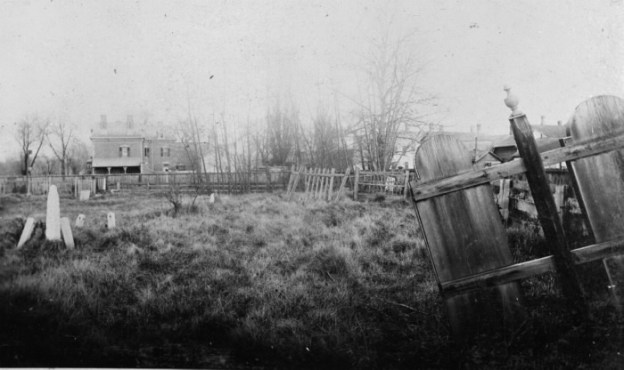
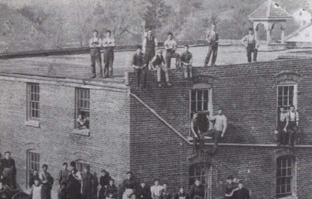
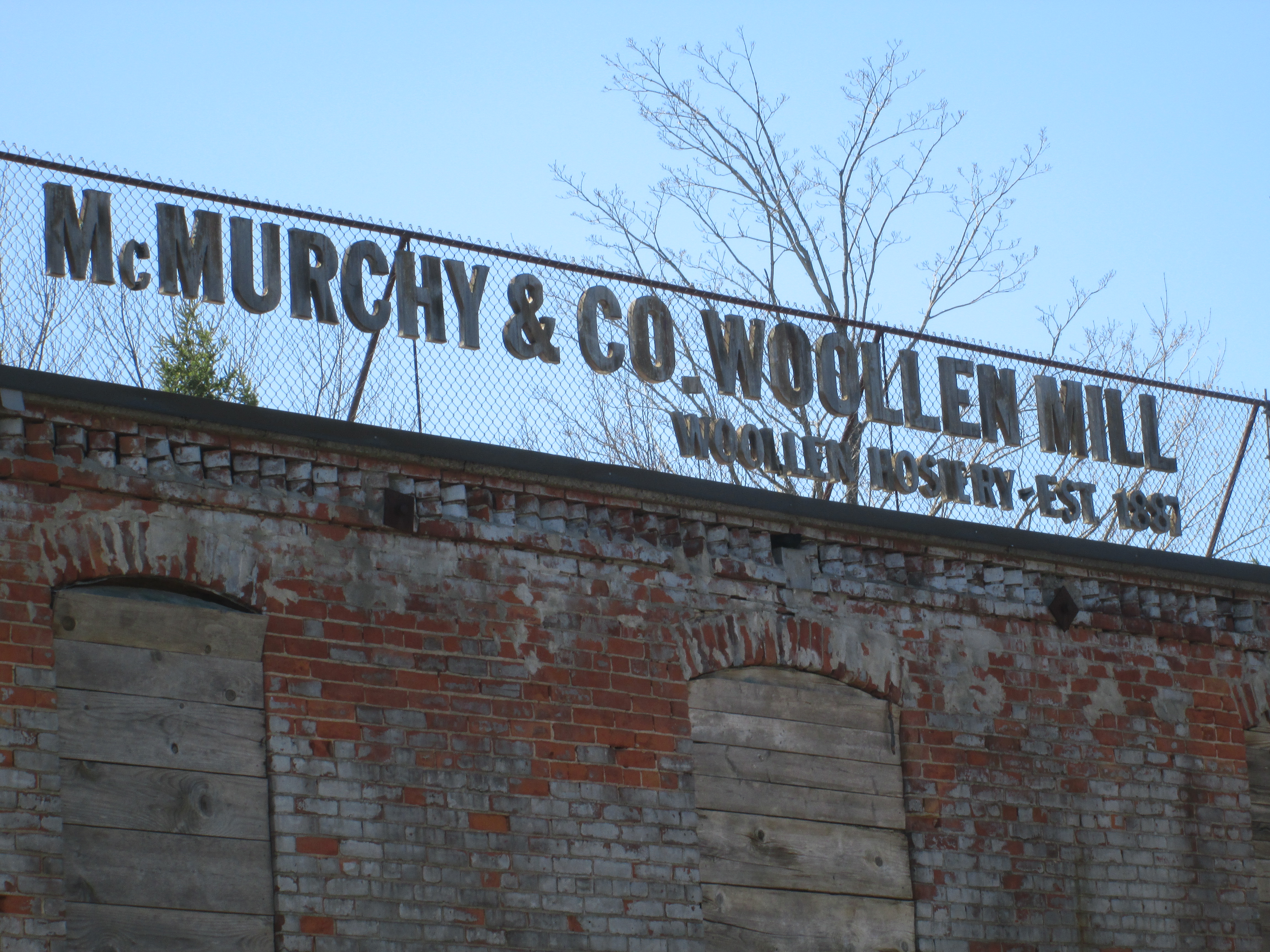
In 1887  John McMurchy built a woolen mill that was powered by its own private powerhouse. Built of red brick it has since been painted over in a drab grey.  With a staff of 30-35 employees, the mill’s main product was socks.  During the first world war, it produced the socks used by the military.  After 65 years of production, the mill was closed in 1953.  The following year Hurricane Hazel would destroy its dam.

IMG_3727

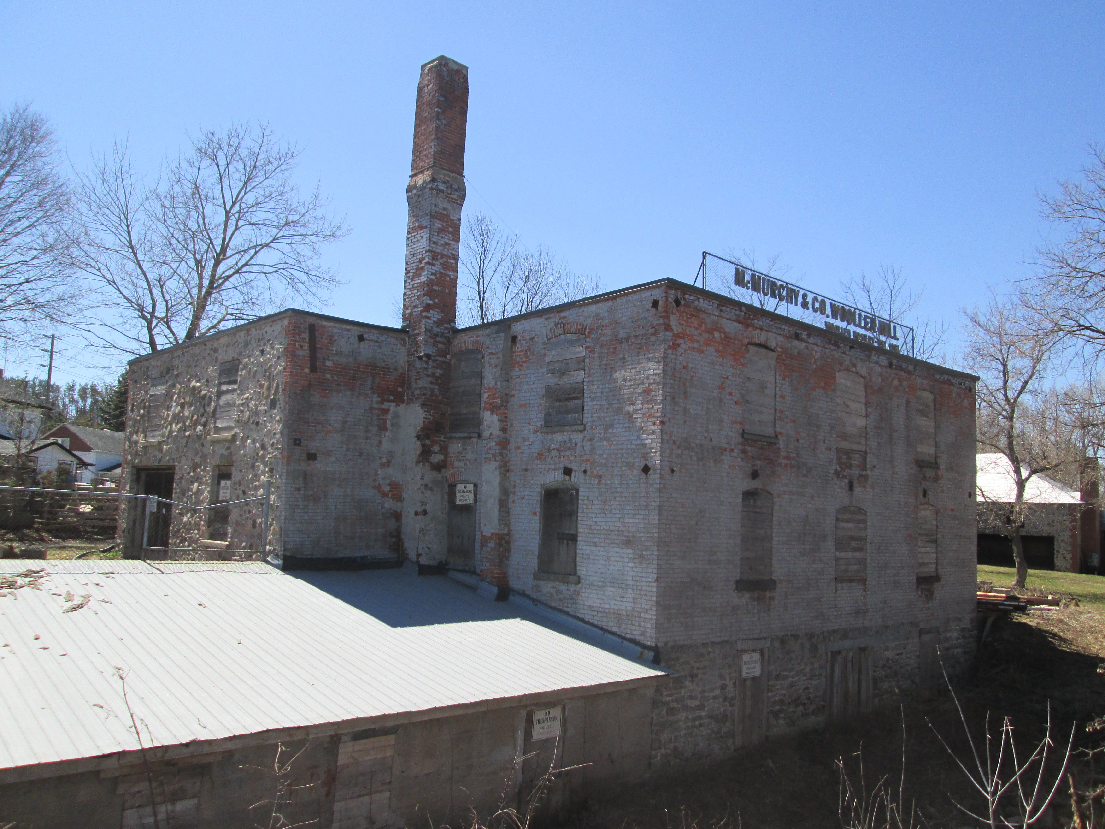
The original signage still stands on the roof of the building facing Mississauga Road.  The cover photo shows the mill during it’s prime.

IMG_3728

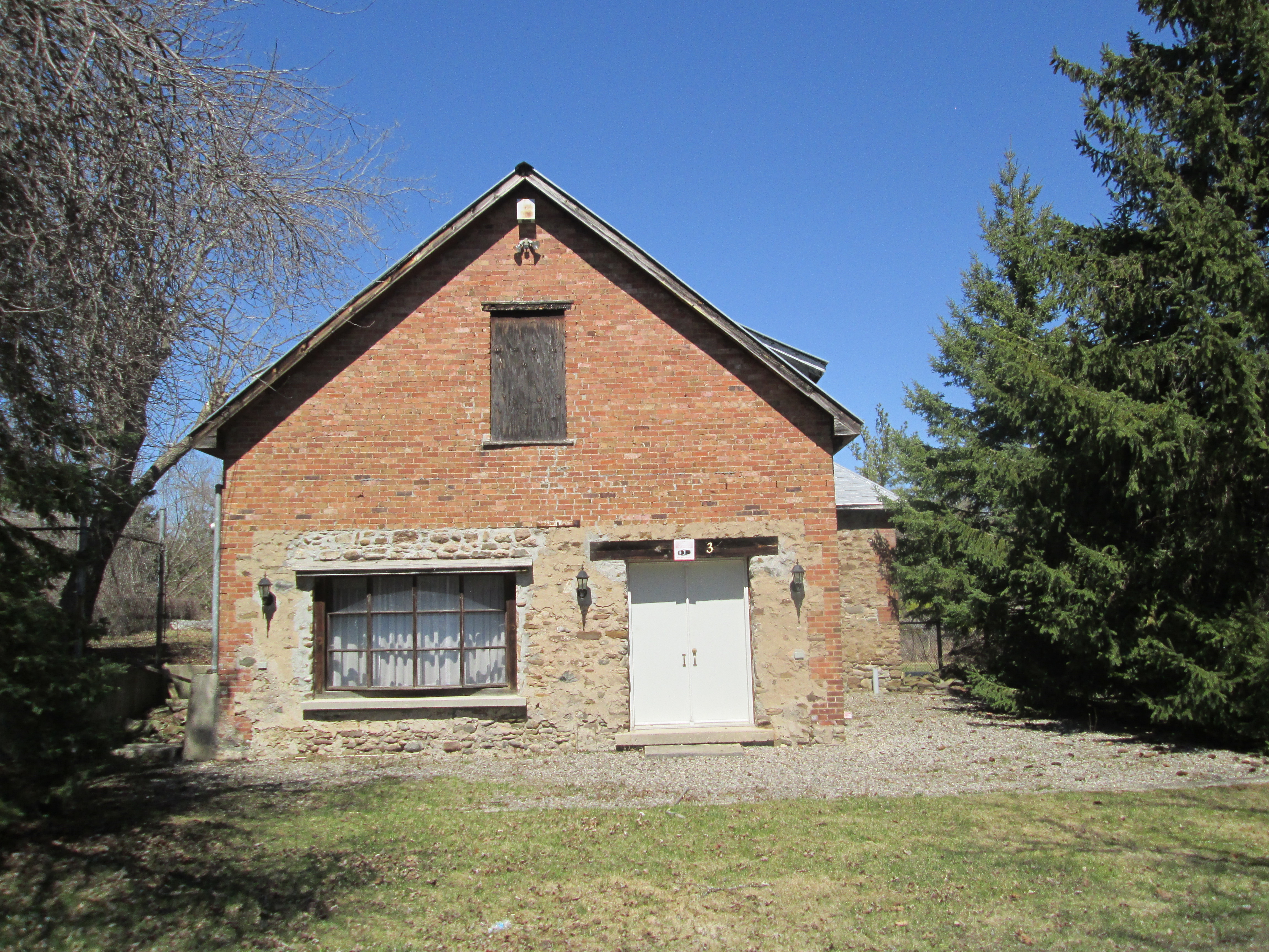
A powerhouse was built onto the grist mill in 1885 by Hutton to power his mills.  It generated 100 horsepower of electricity and was considered an engineering marvel at the time.  Along with the mills, it provided power to Huttonville and Brampton.  When John McMurchy bought the plant in 1903 he increased its production to 300 hp.  It provided power to Brampton until 1911 when the town went onto the public grid originating at Niagara Falls.  It continued to be a personal power supply to the mills until 1953 when they closed.

IMG_3743

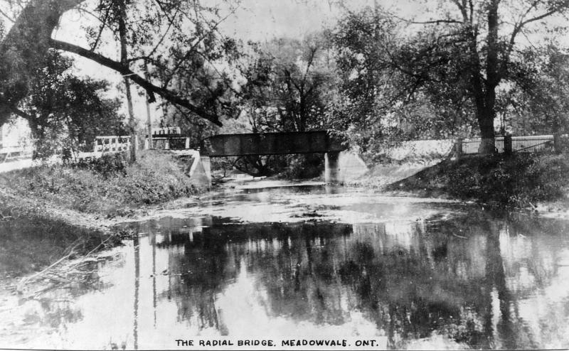
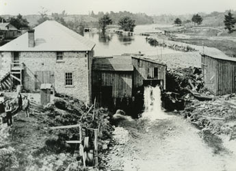
The historical photo below shows water flowing from the Huttonville mill pond through a shed where it is turning a turbine.  The little waterfall drops it into a settling basin before the tail race returns it to the river.

Huttonville ph

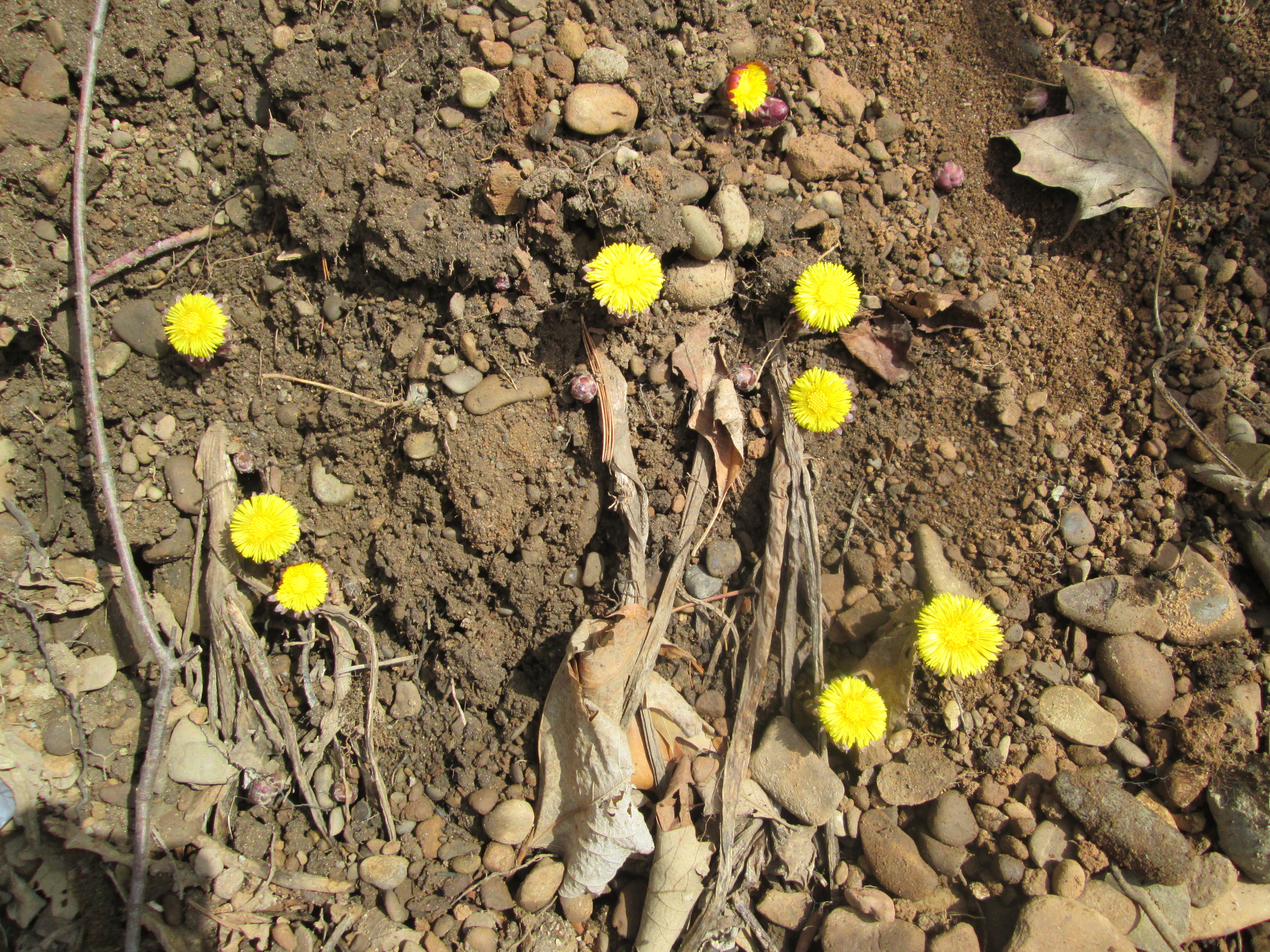
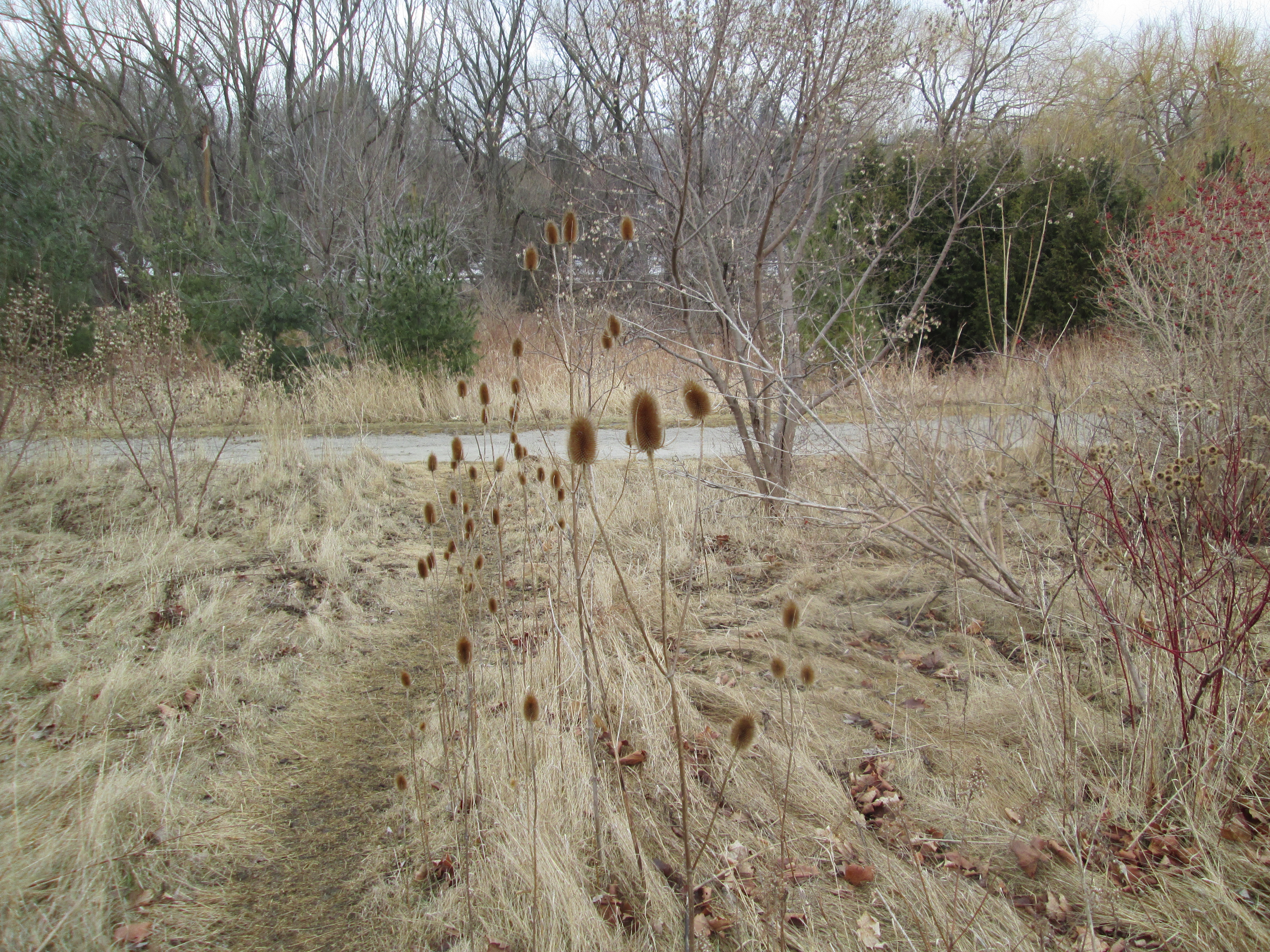
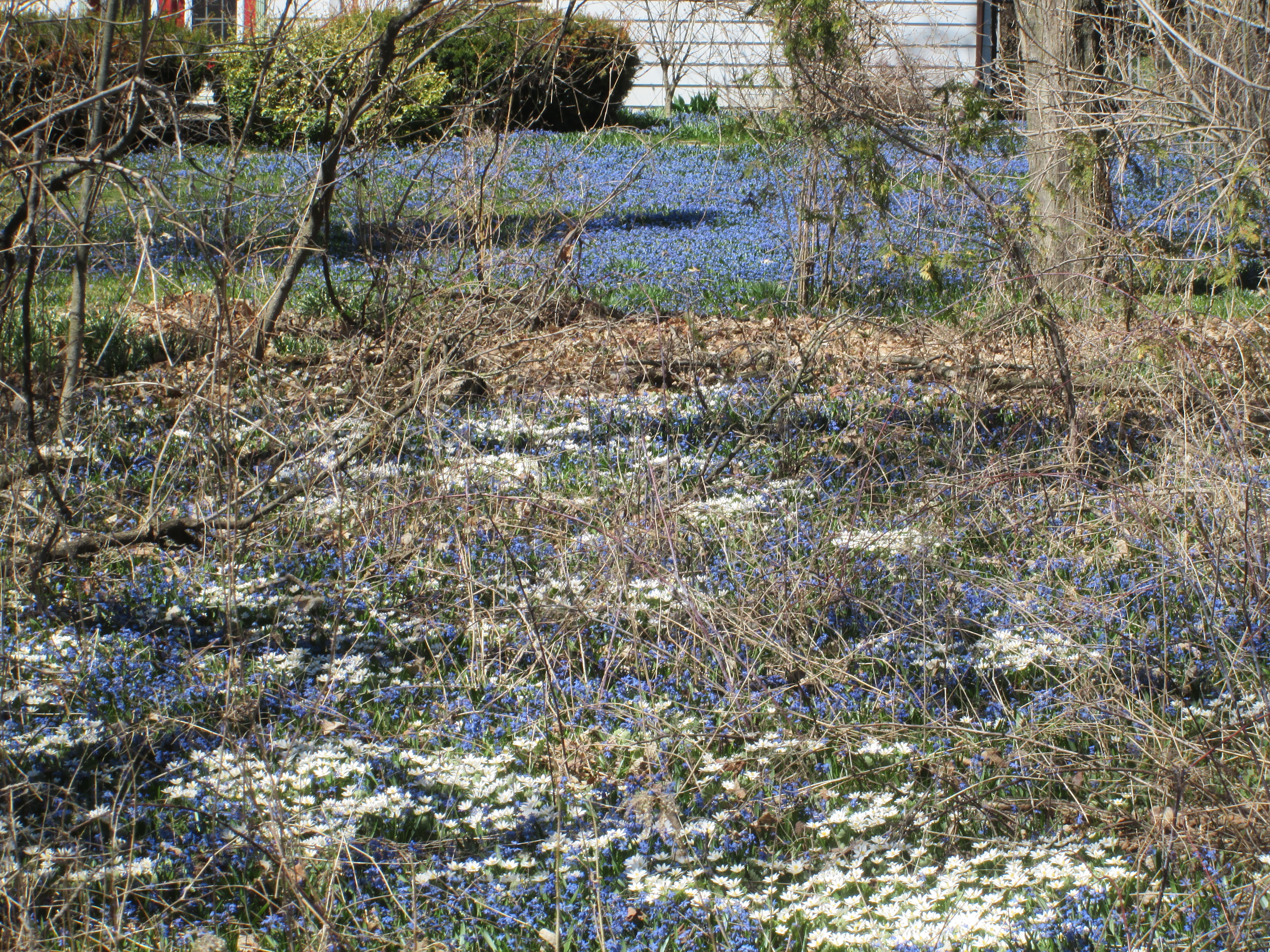
Bloodroot is the white flower in the foreground of the picture below.  It is one of the first flowers in spring but it’s flowers last only a couple of days after being pollinated.  It gets its name from its blood red roots.  Sprinkled in among a sea of bluebells they bring the lawns to life for a short period each spring.

IMG_3747

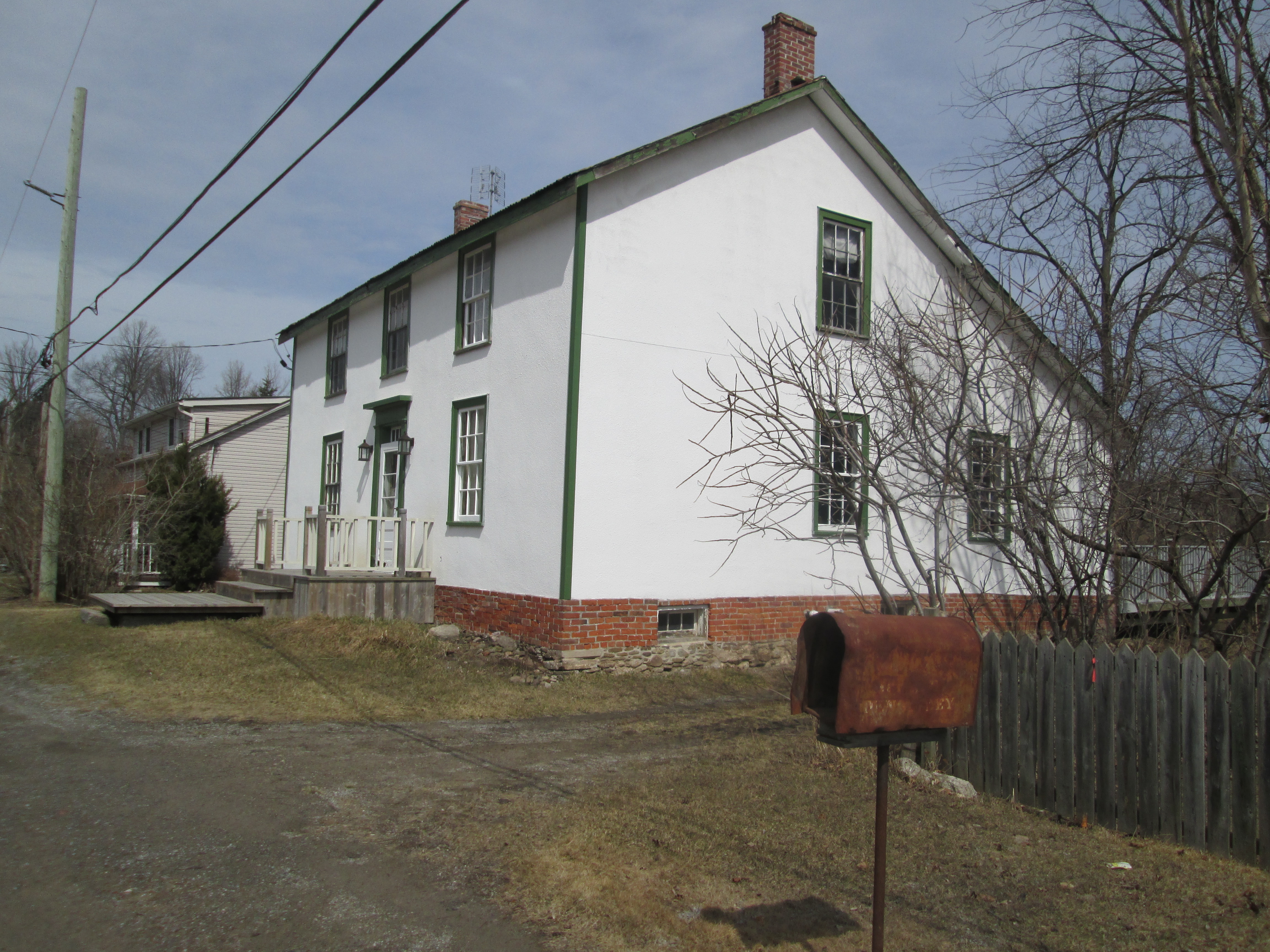
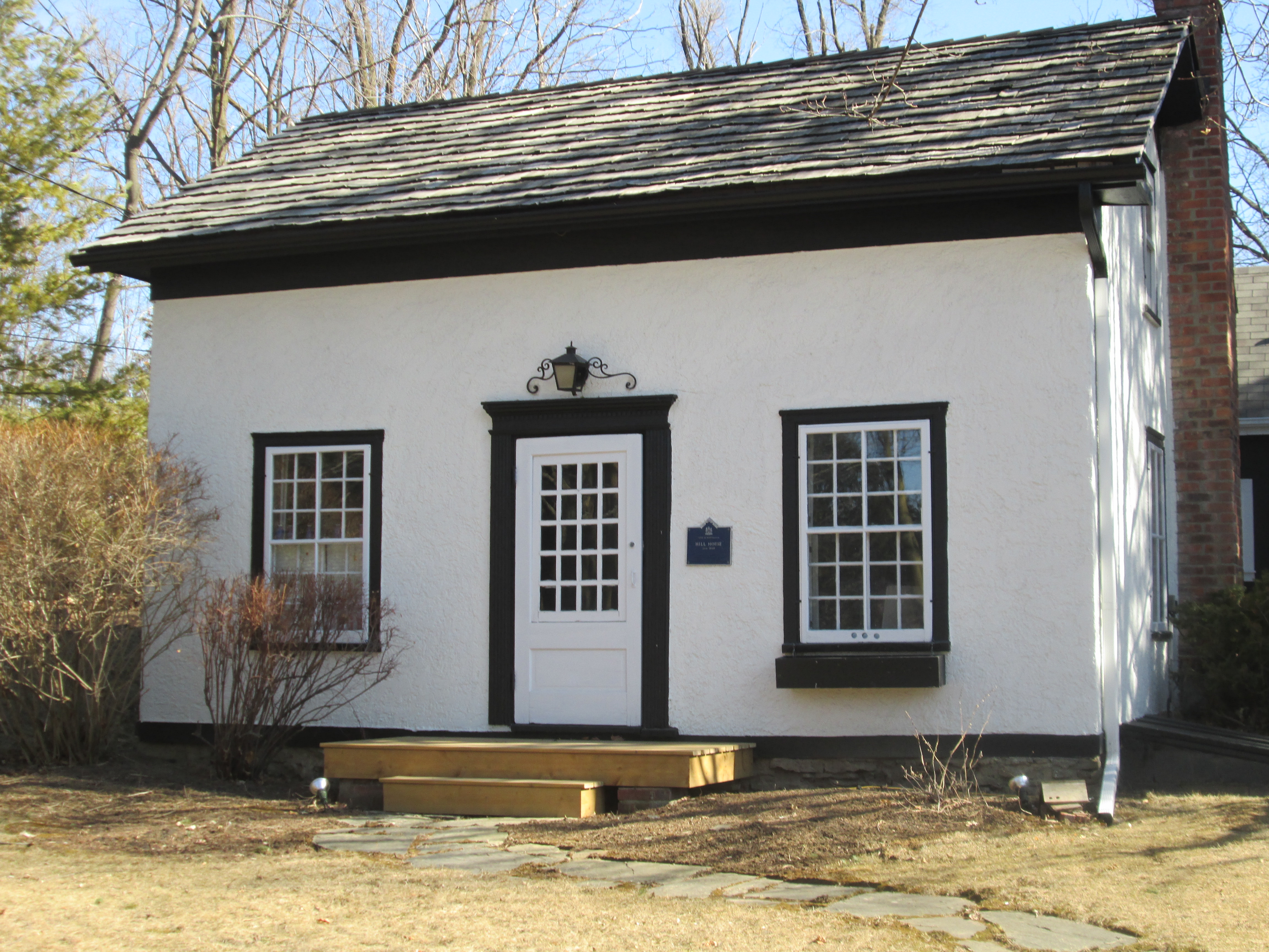
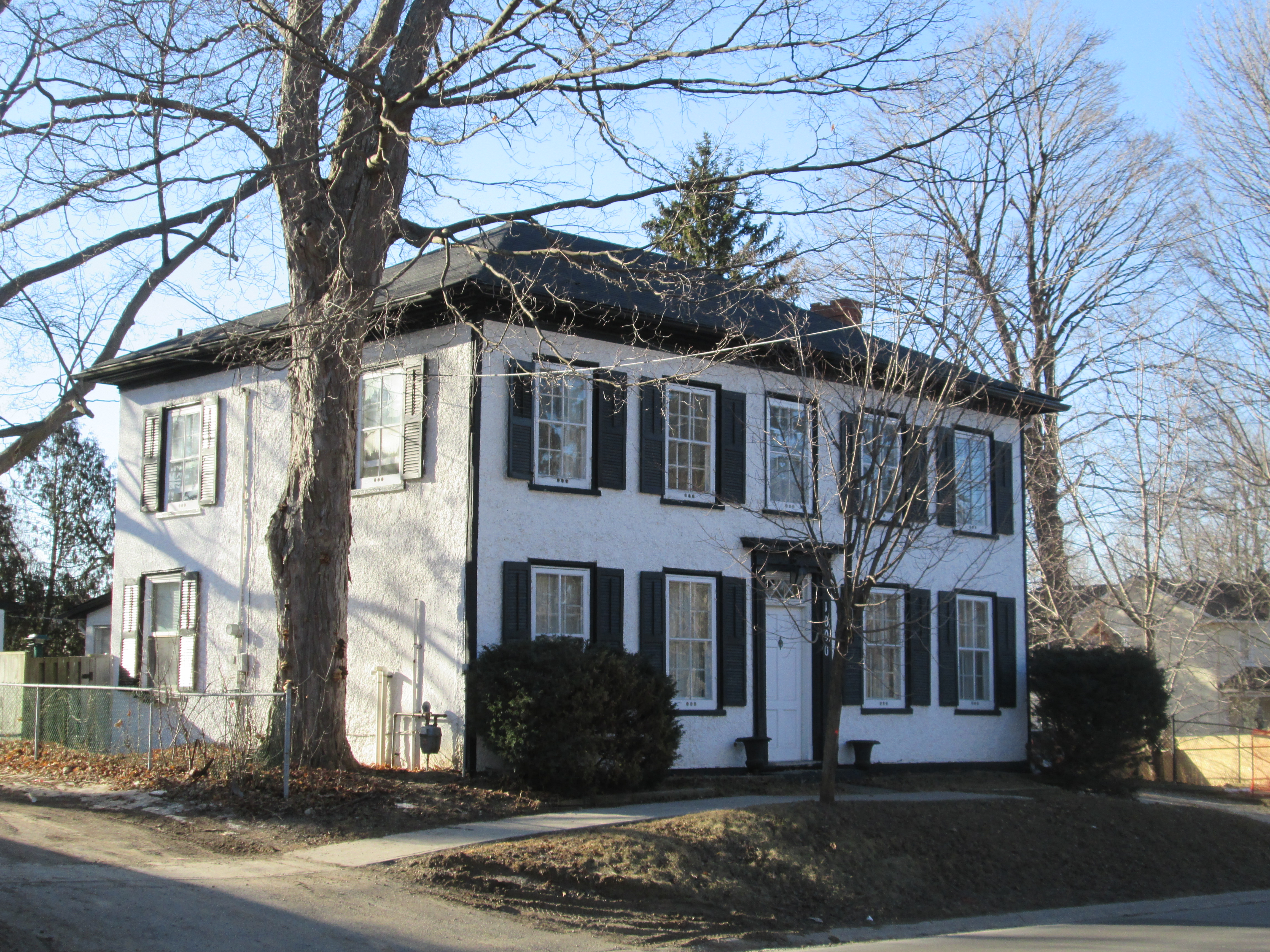
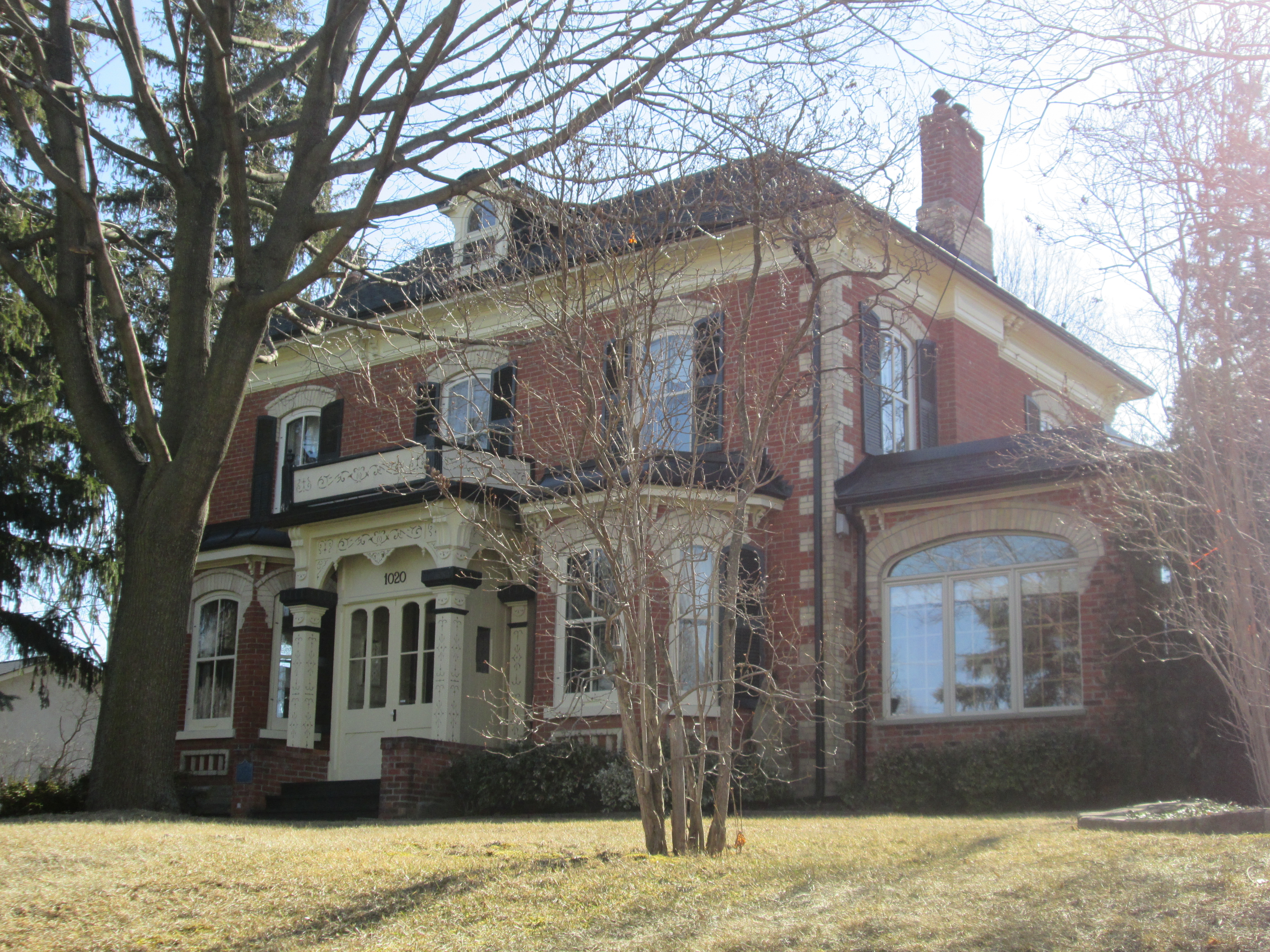
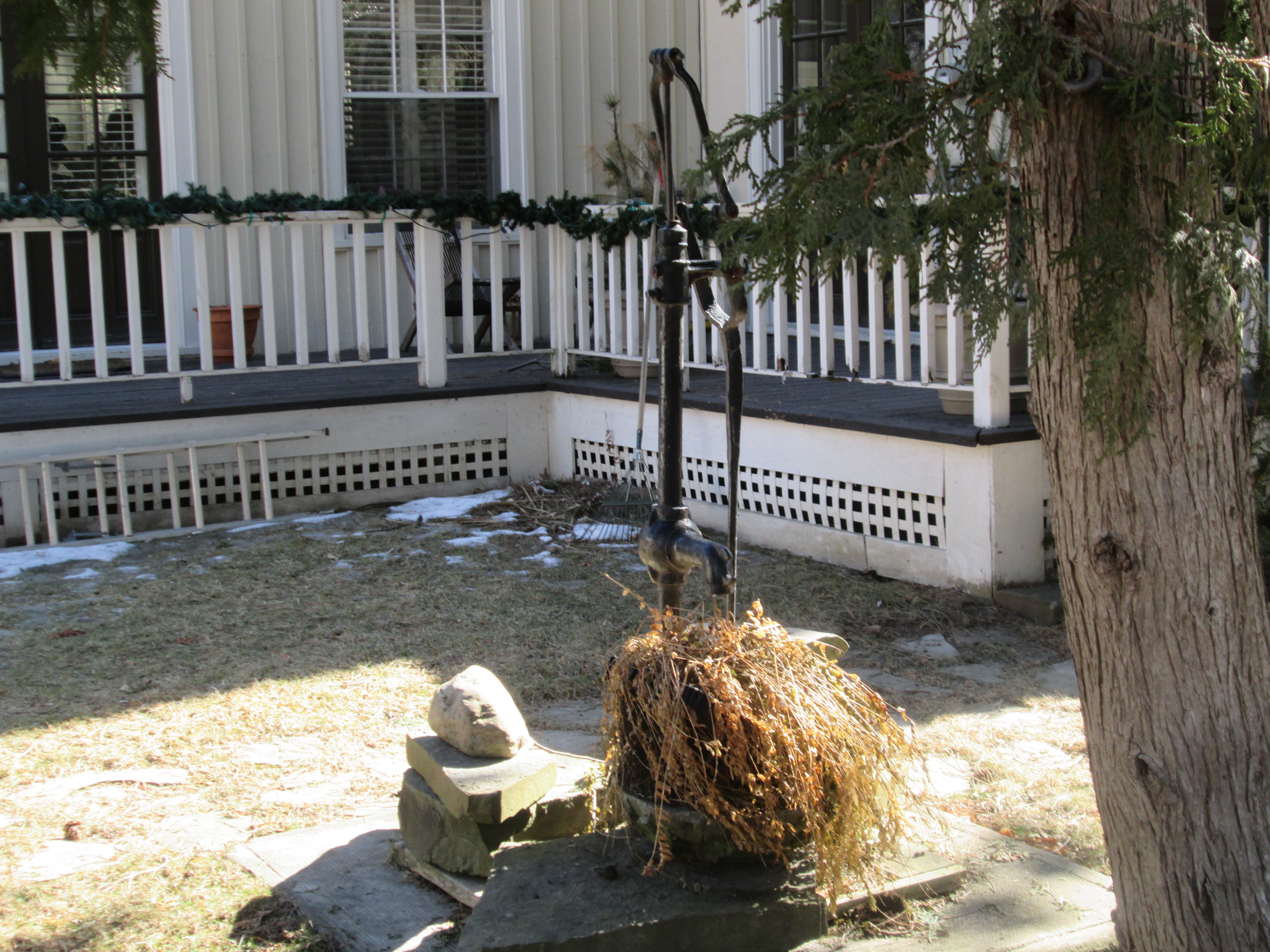
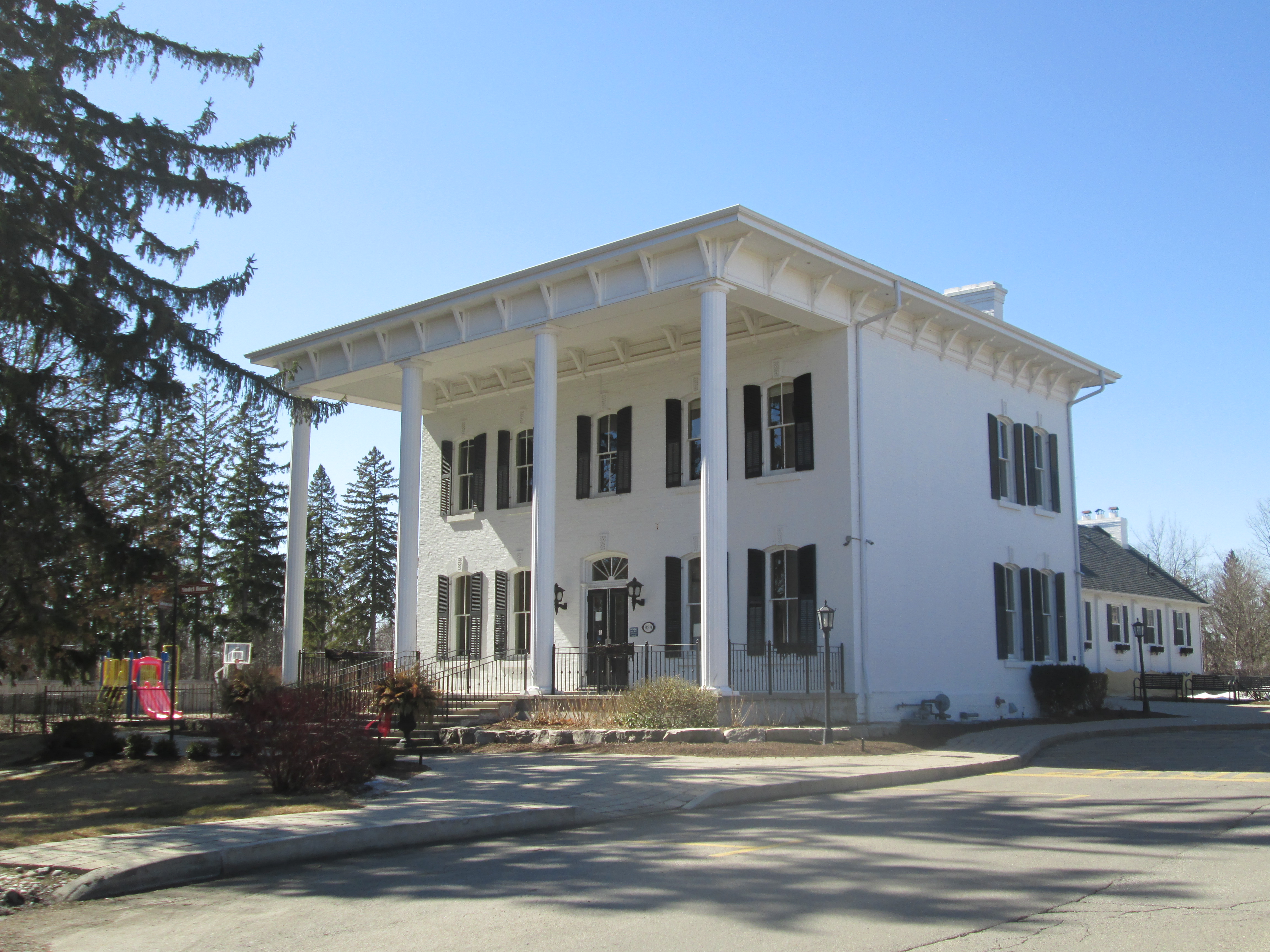
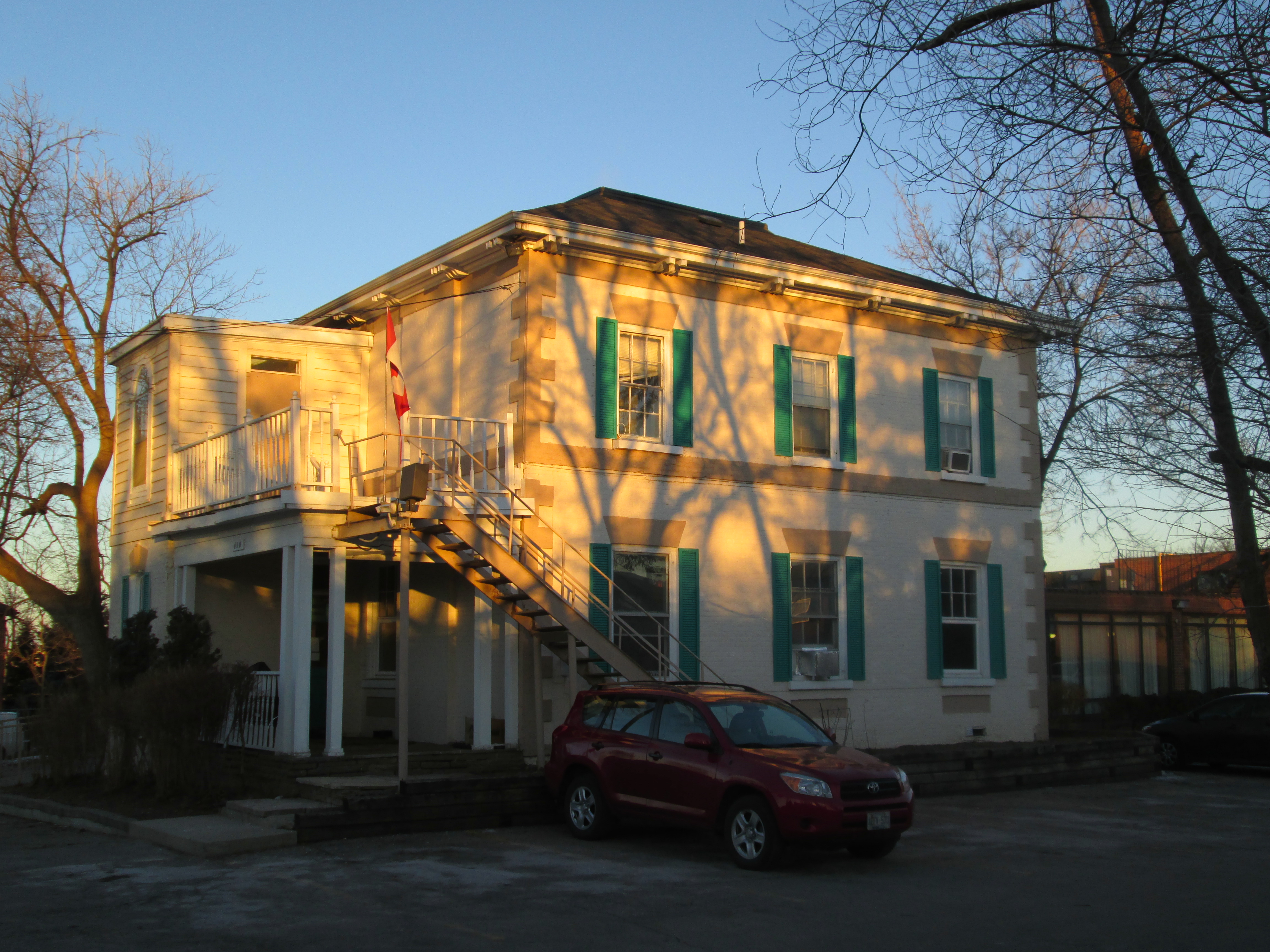
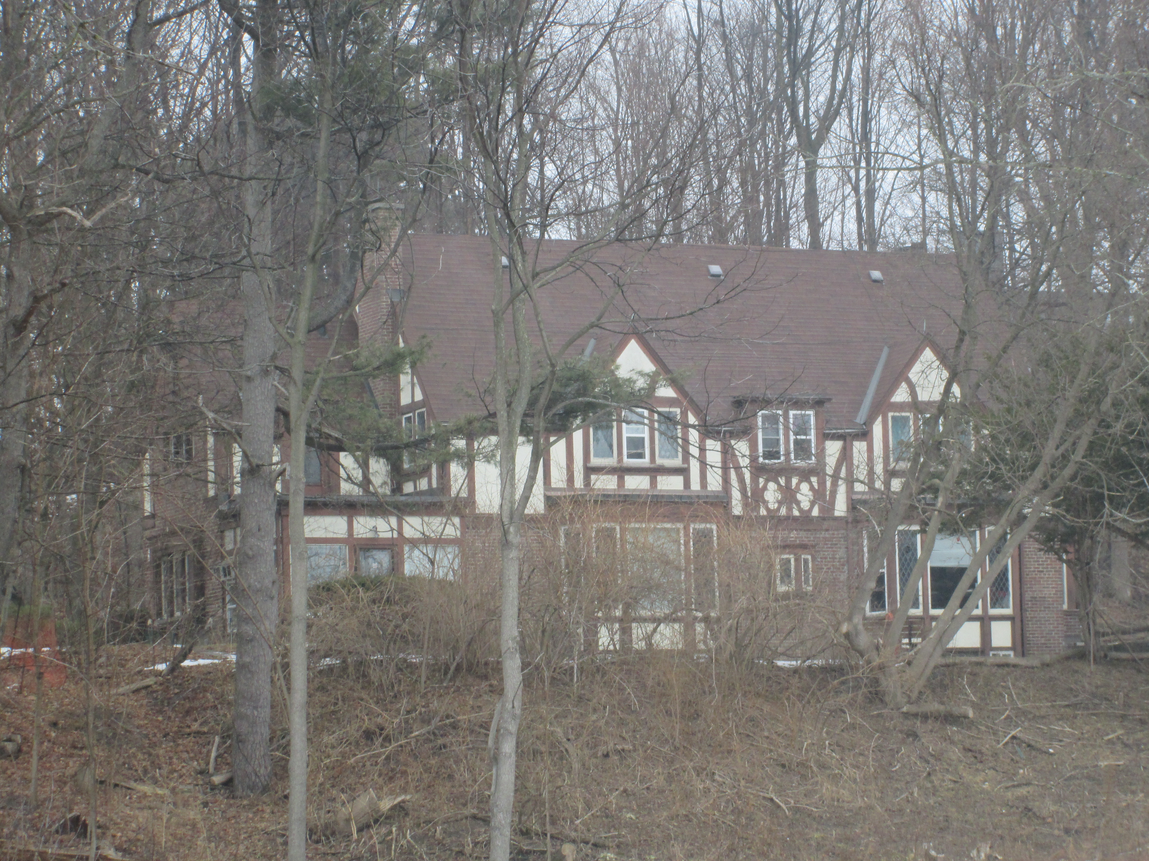
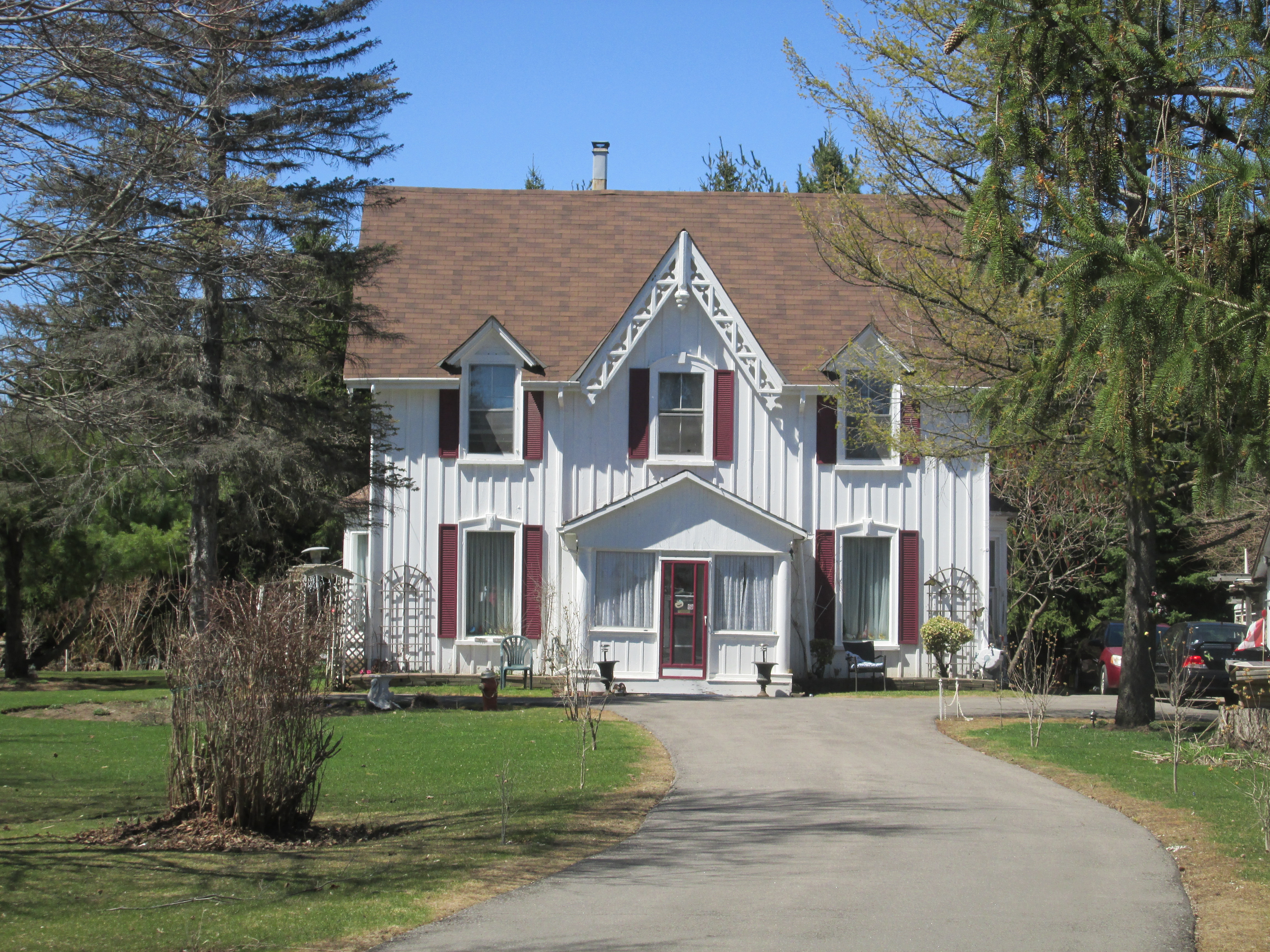
James Hutton’s house still stands at 2072 Emberton Road, a short walk from his milling empire.

IMG_3752

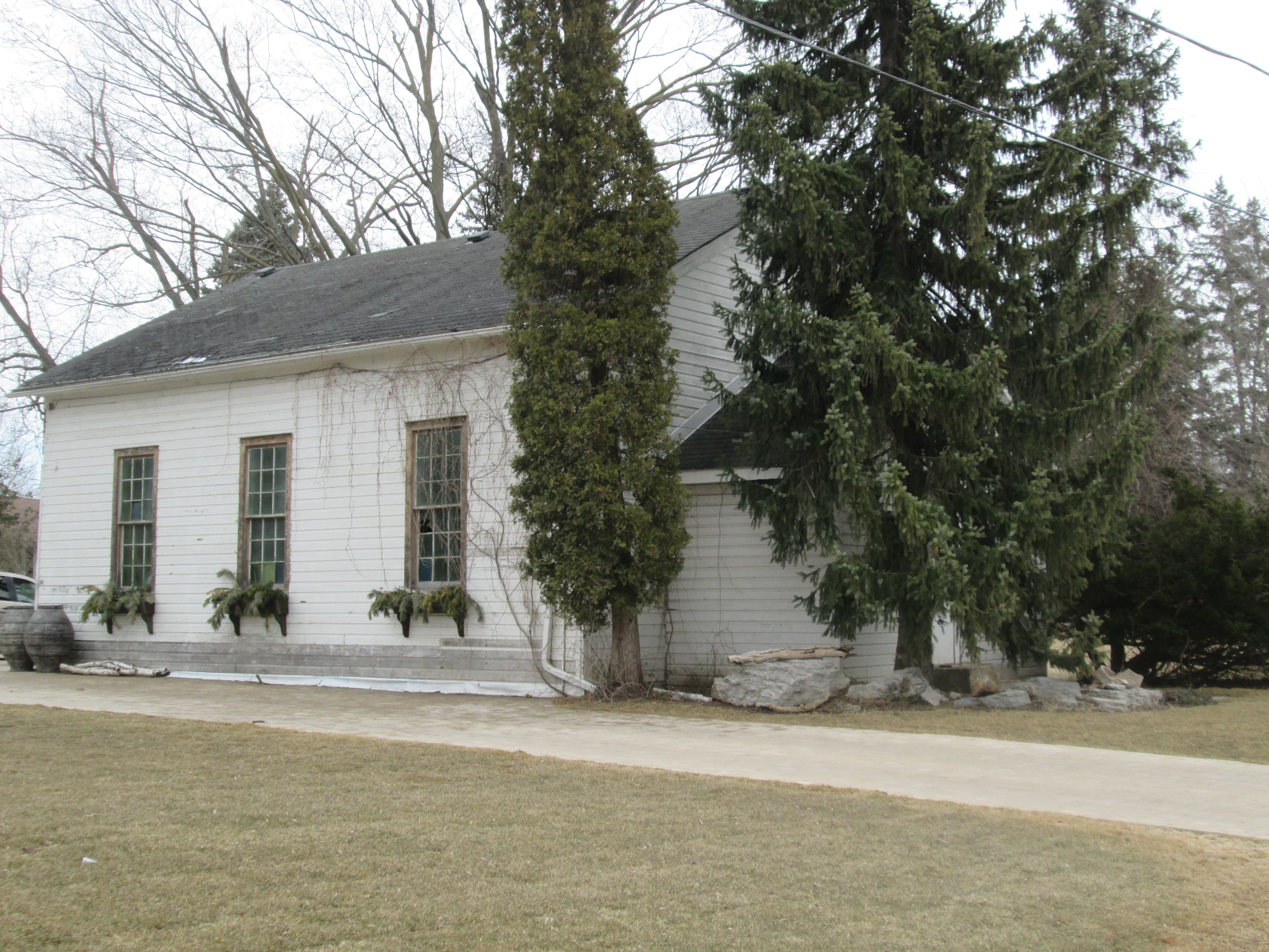
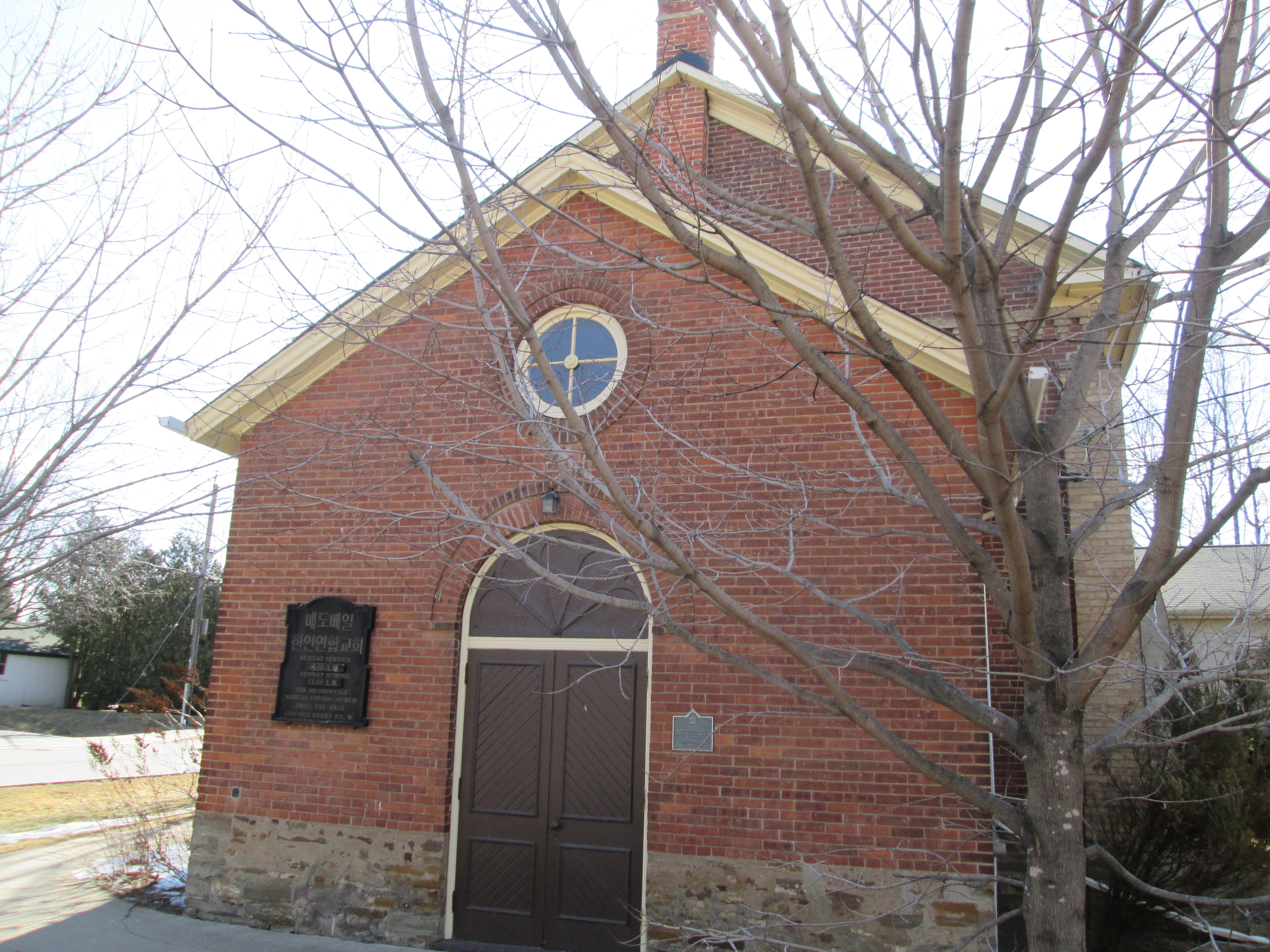
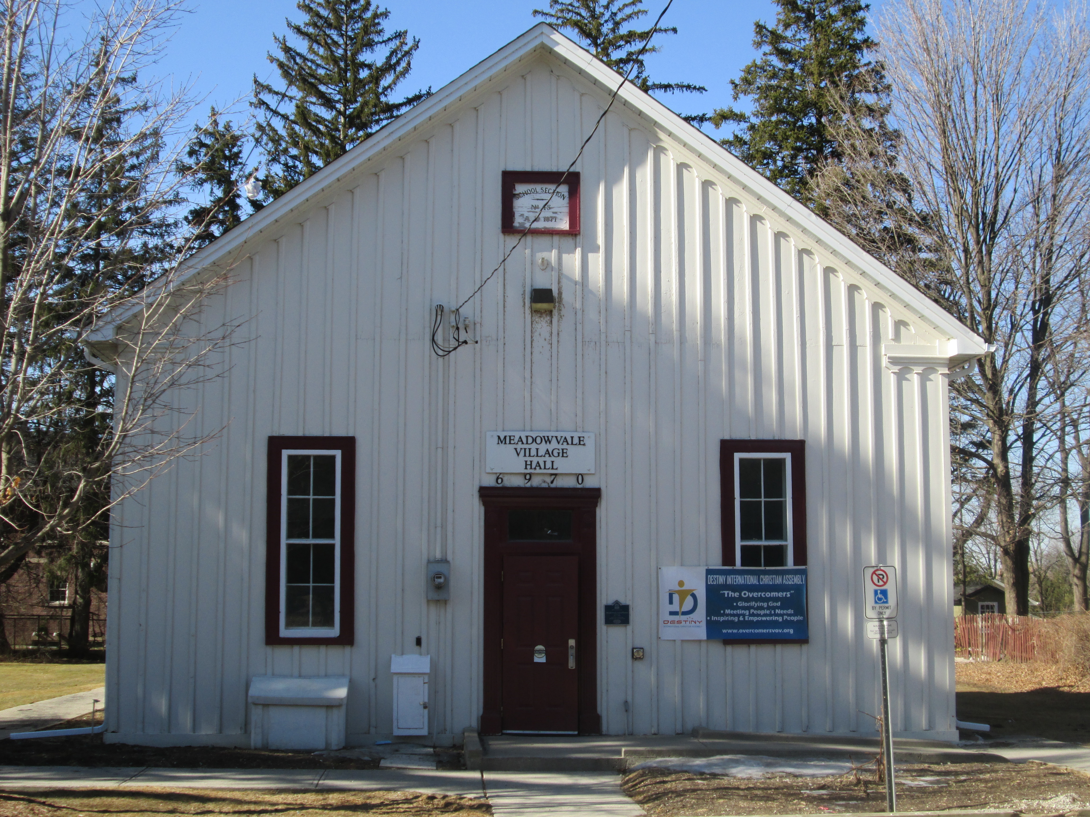
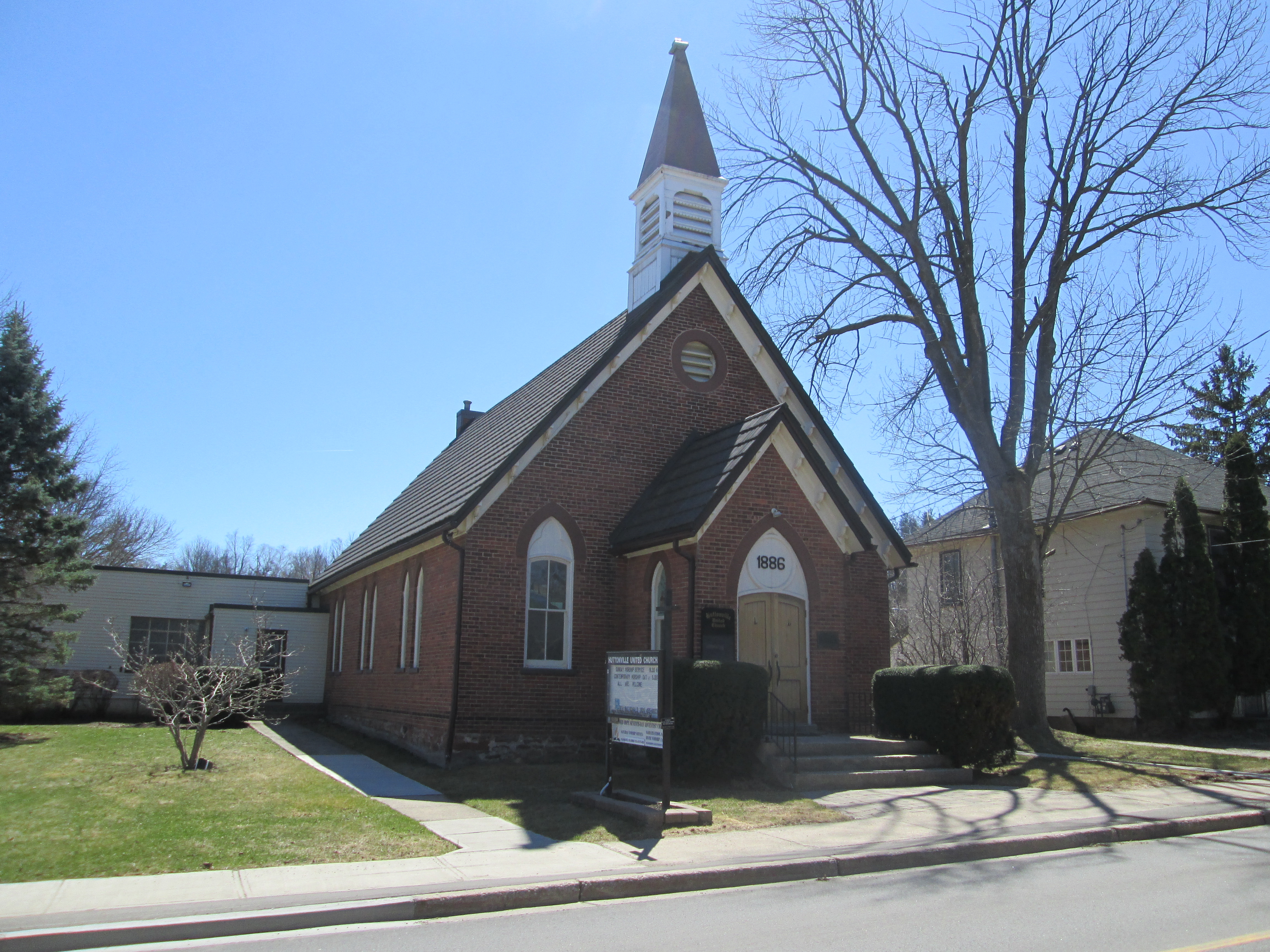
Across the street from Hutton’s house he donated land for the Methodist Church.  In 1885 it was decided to combine the nearby congregations in Page and Springbrook.  The Page church was demolished and the wooden church in Springfield was moved to Huttonville.  It was placed on a stone foundation and extended by 10 feet.  Then a brick veneer was added to the outside. In 1925 it became a United Church when the Methodists joined the new congregation. Today it is rented on Saturdays by the Seventh Day Adventists.

IMG_3744

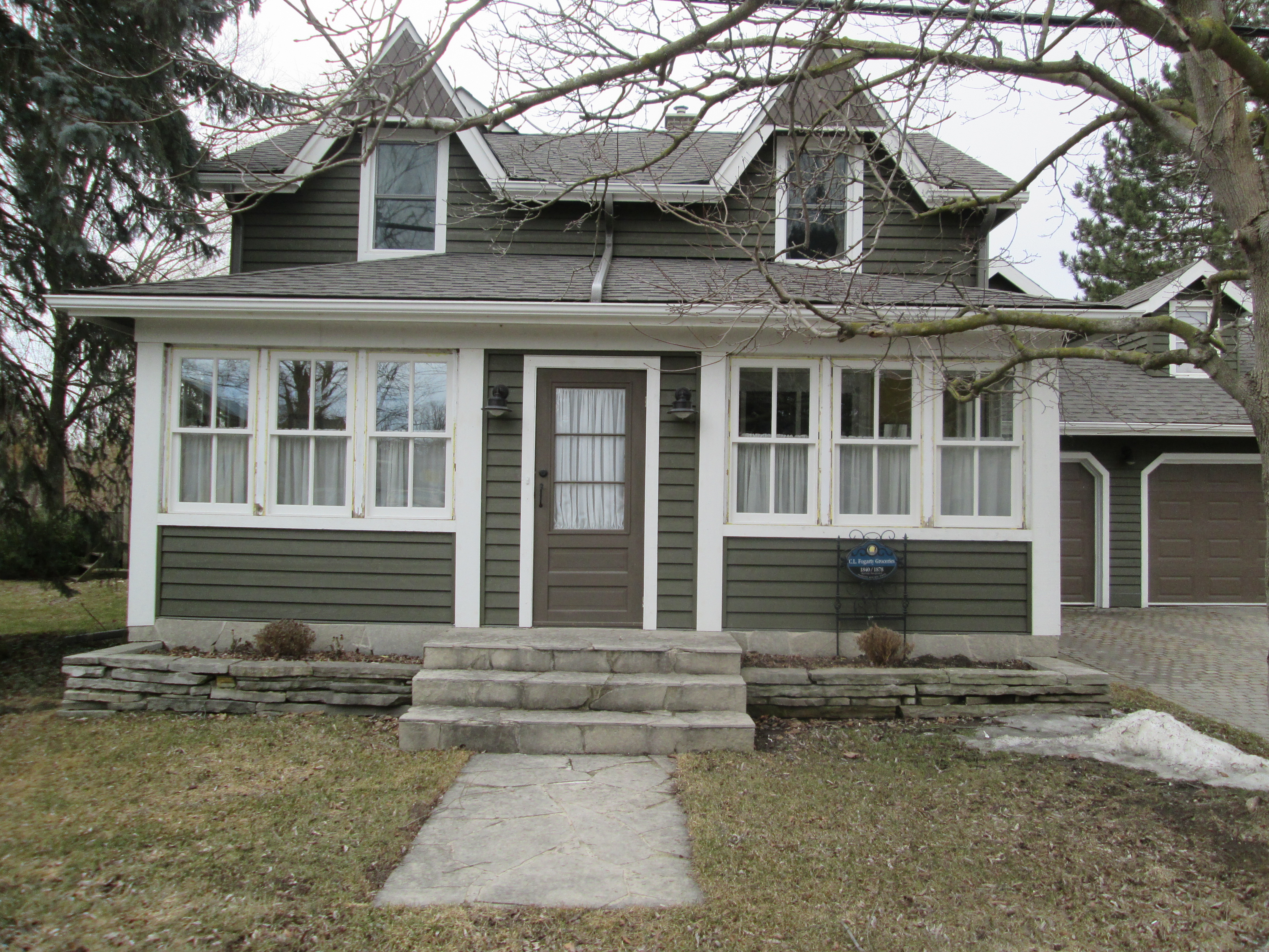
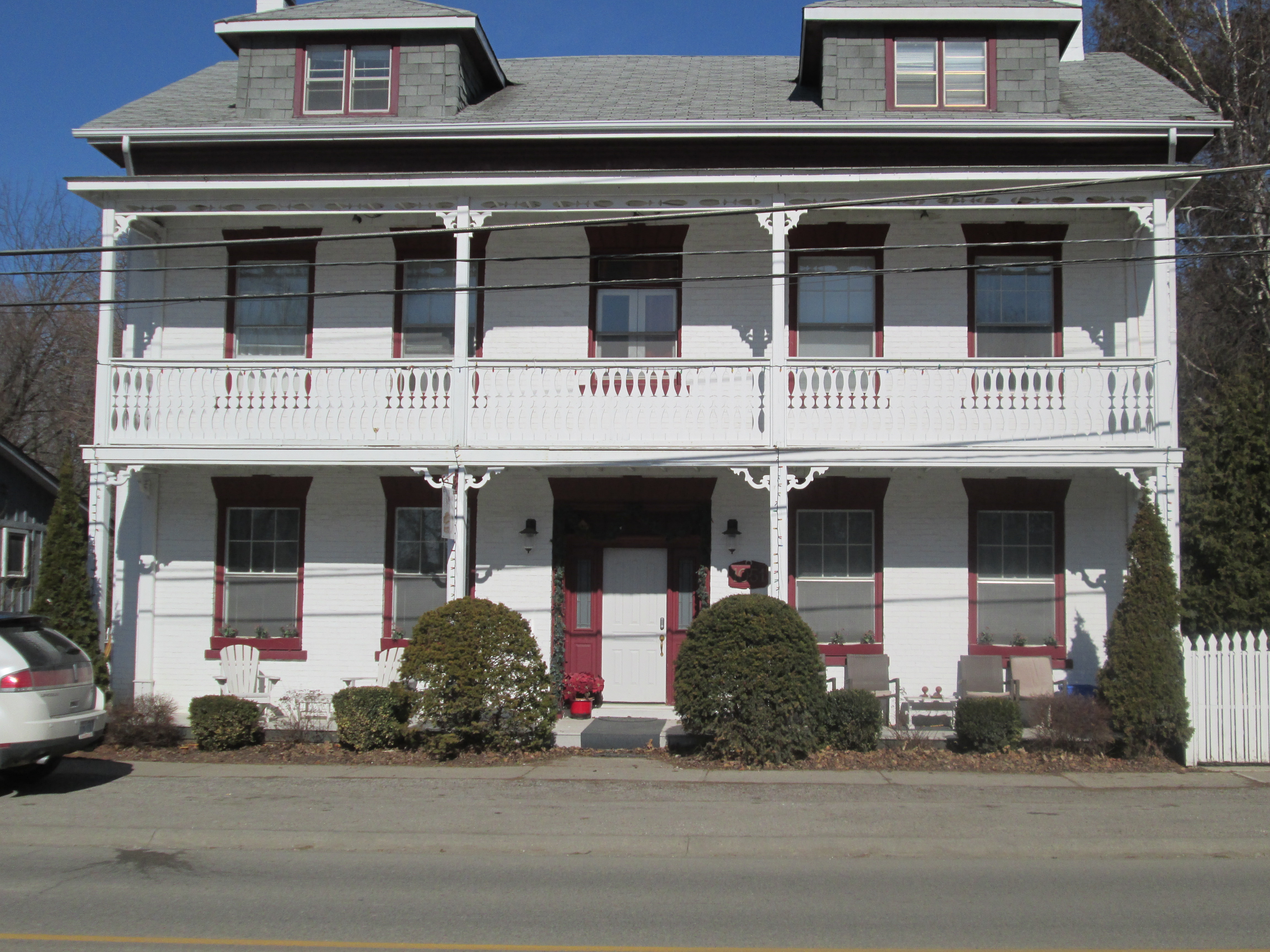
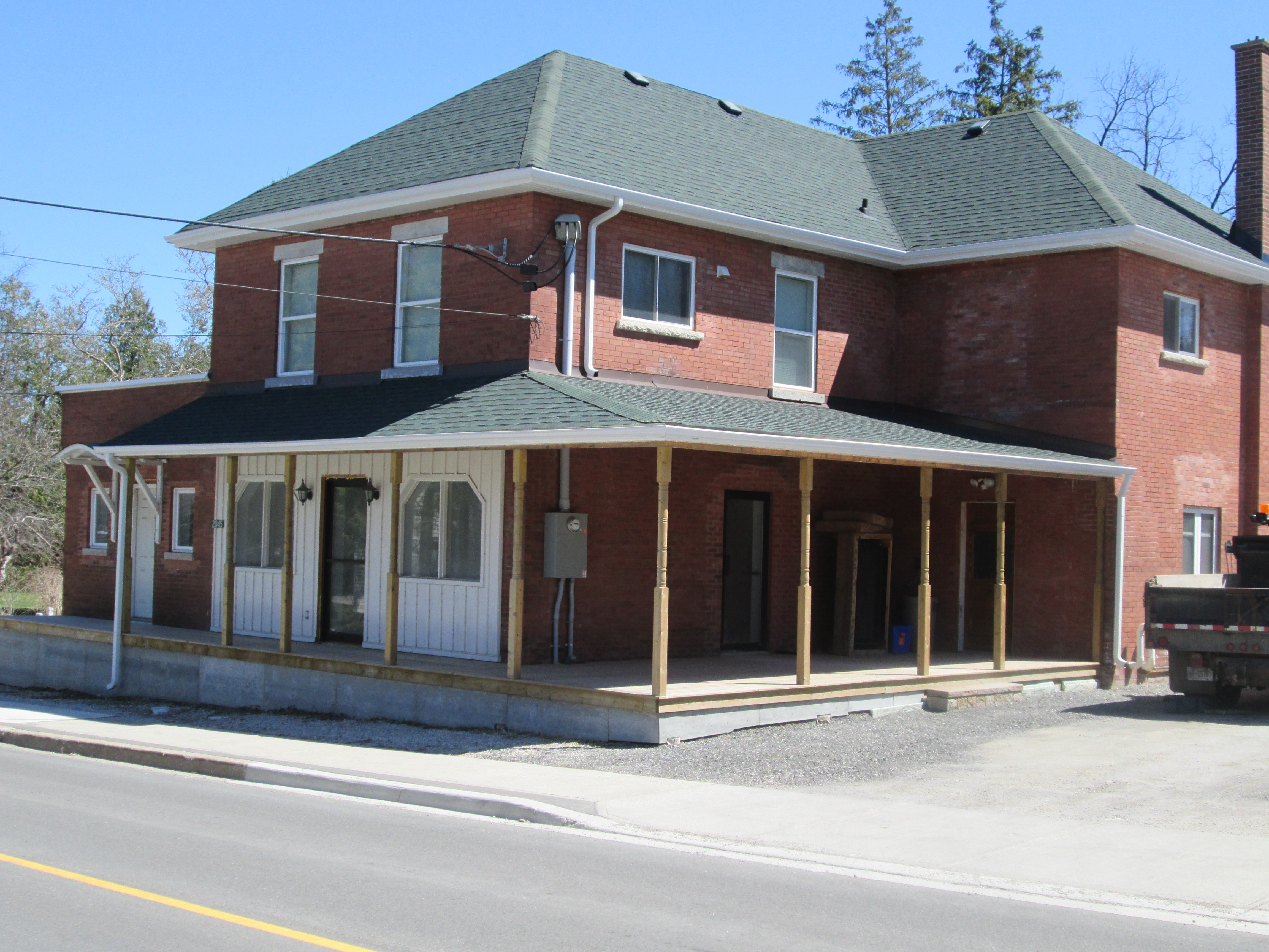
Beside the church stands this building which was likely the Queens Hotel.

IMG_3753

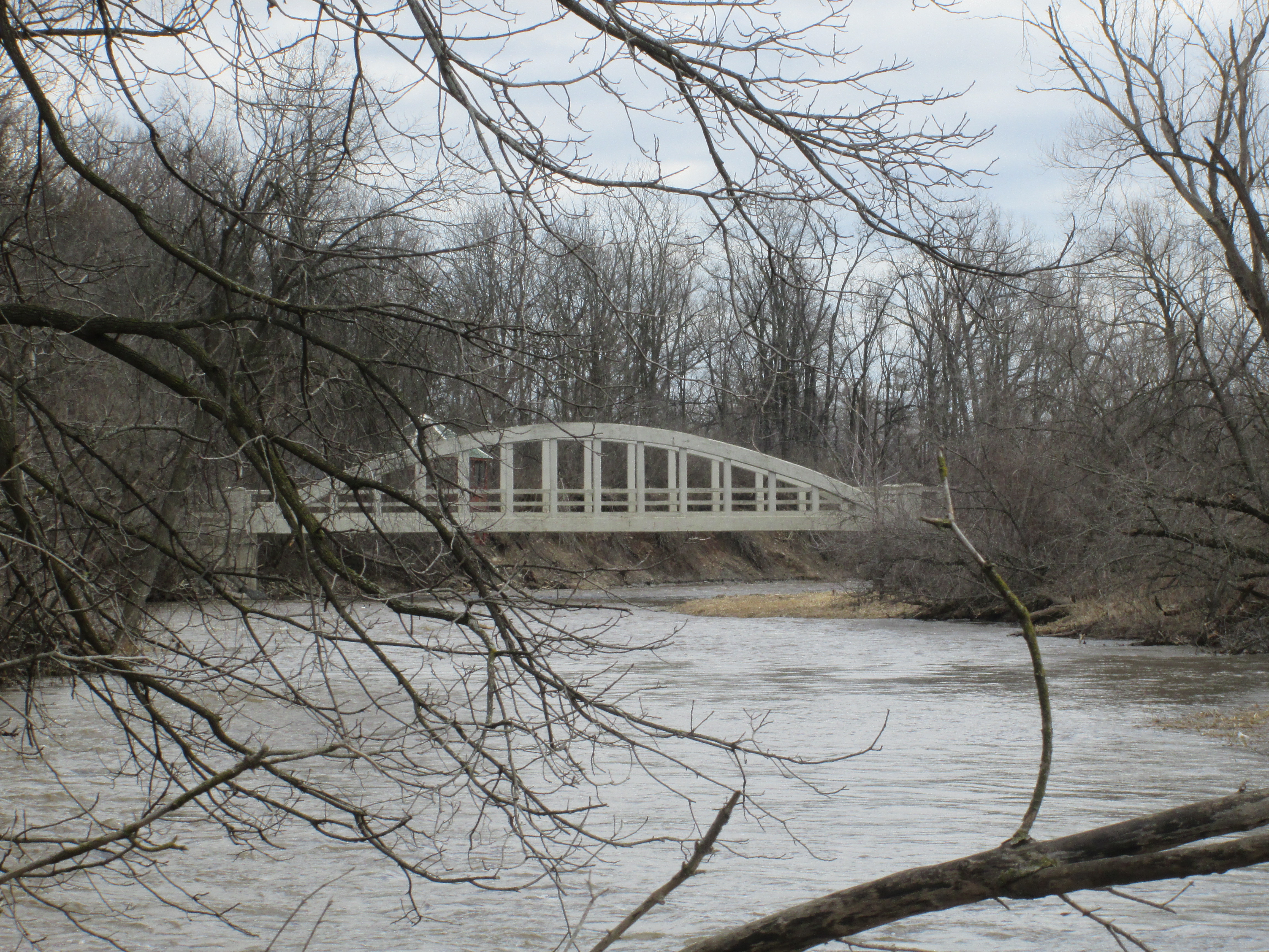
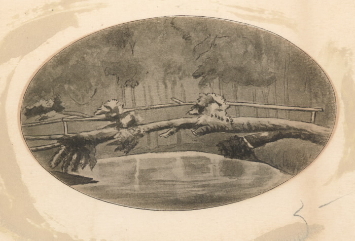
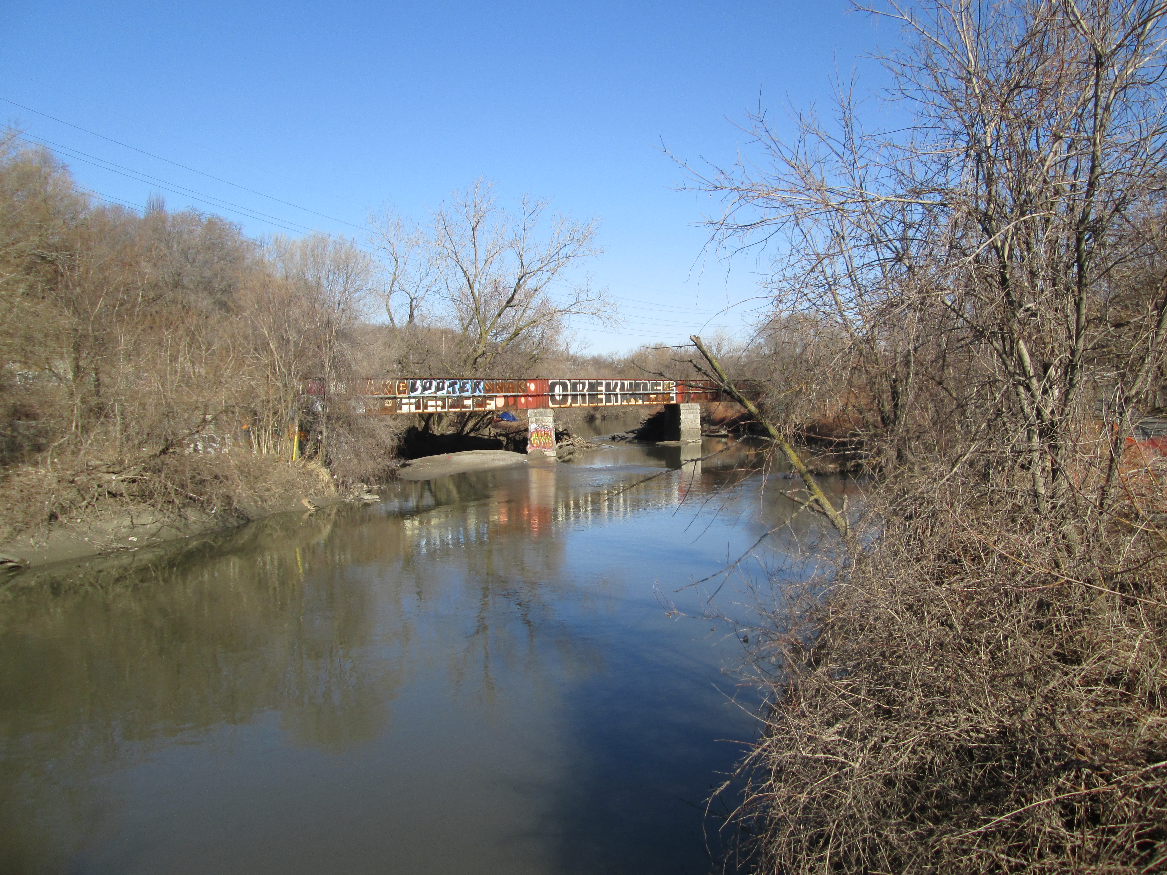
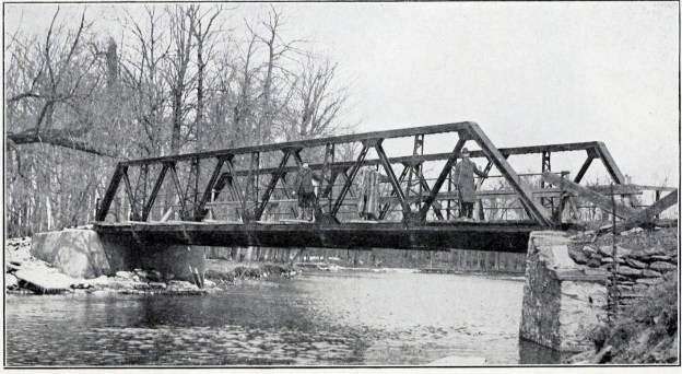
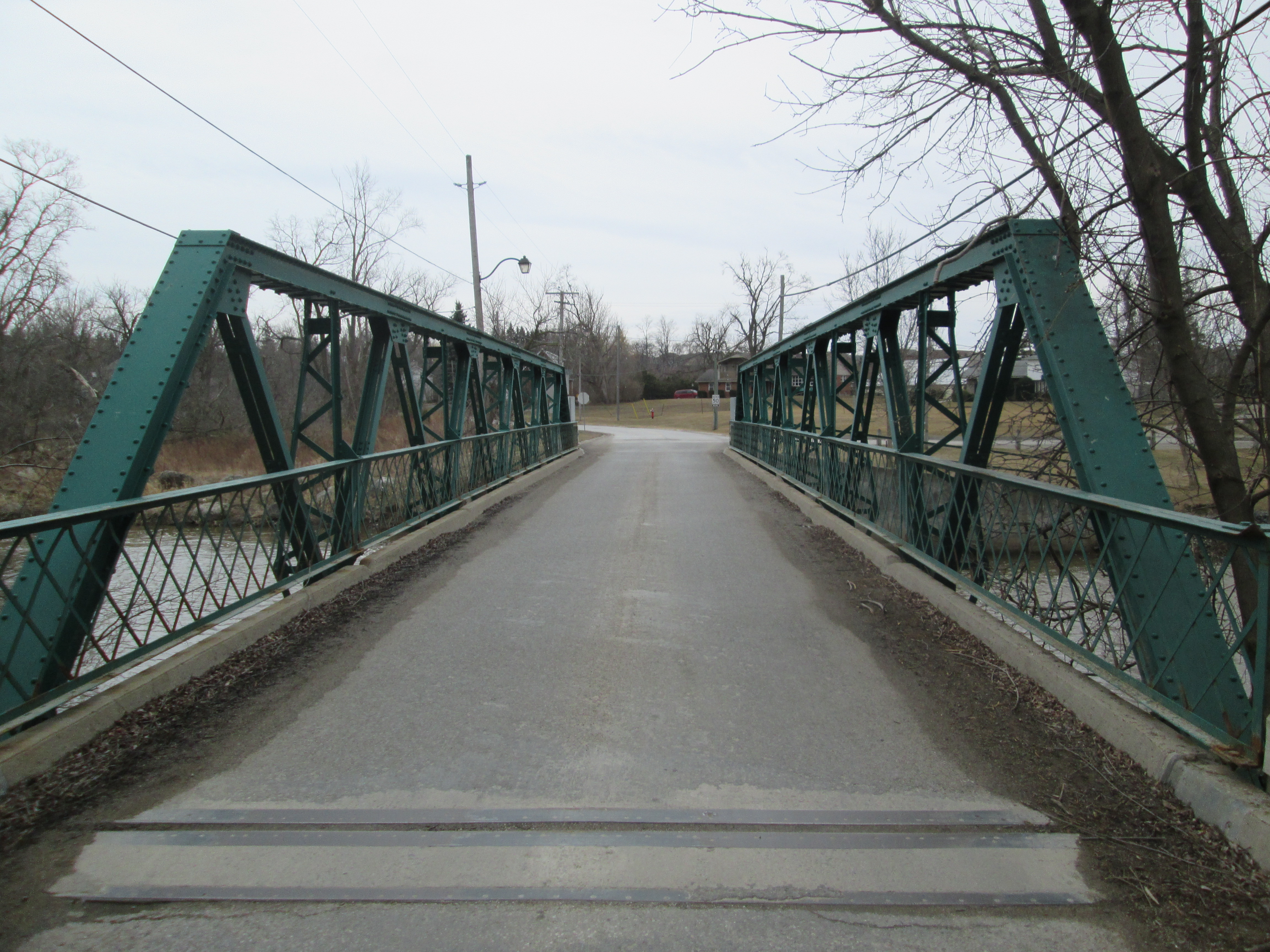
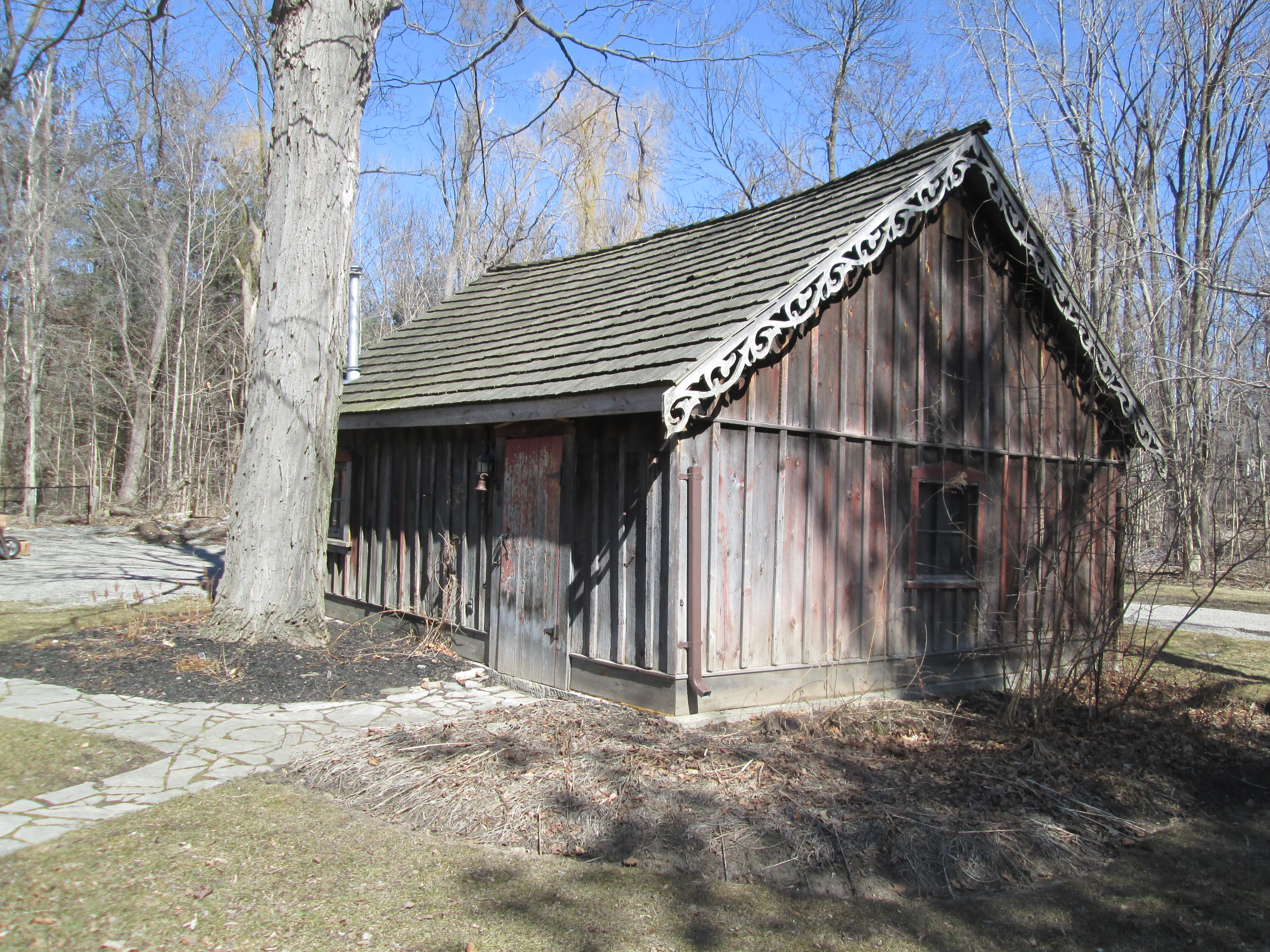
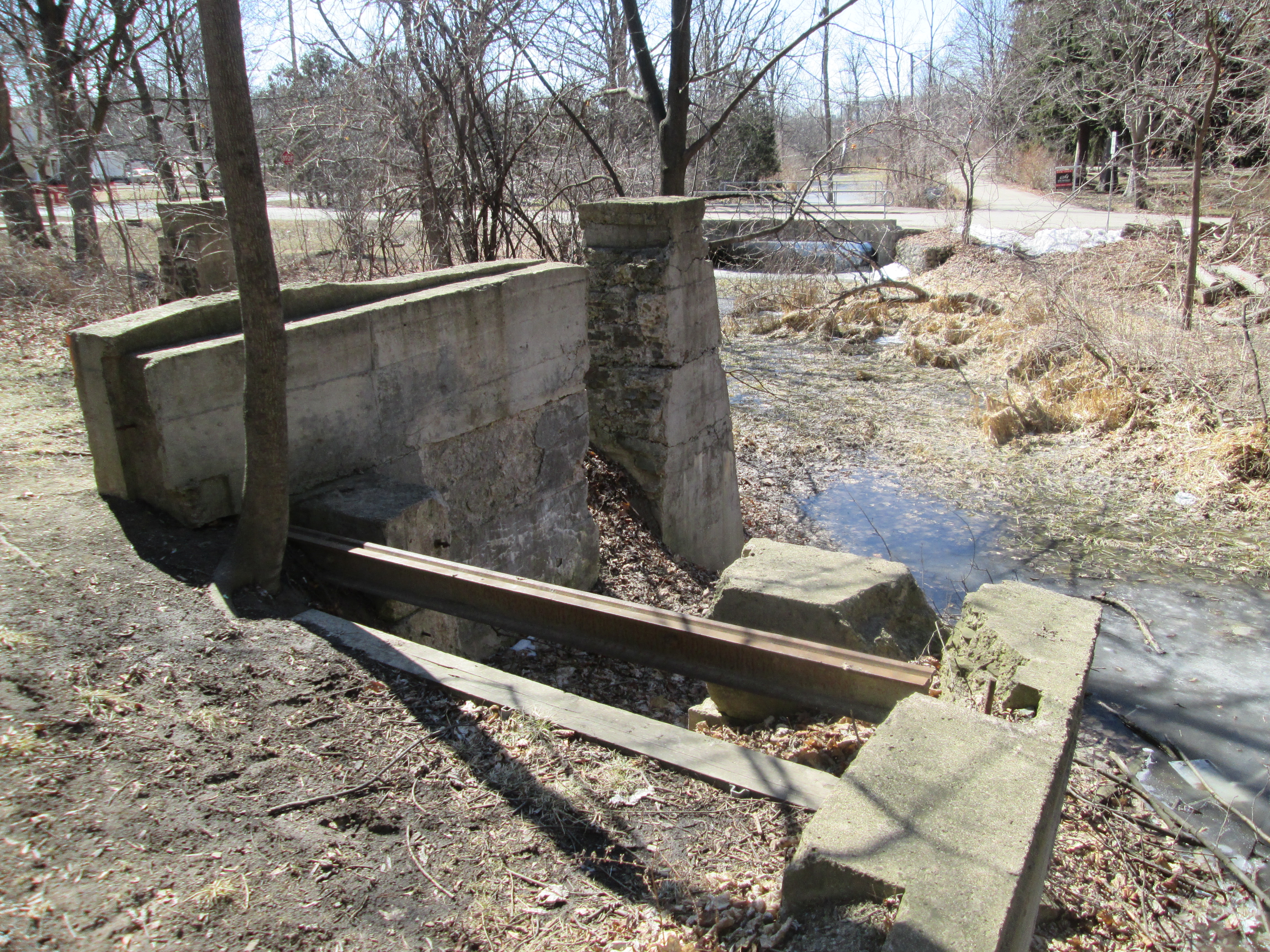
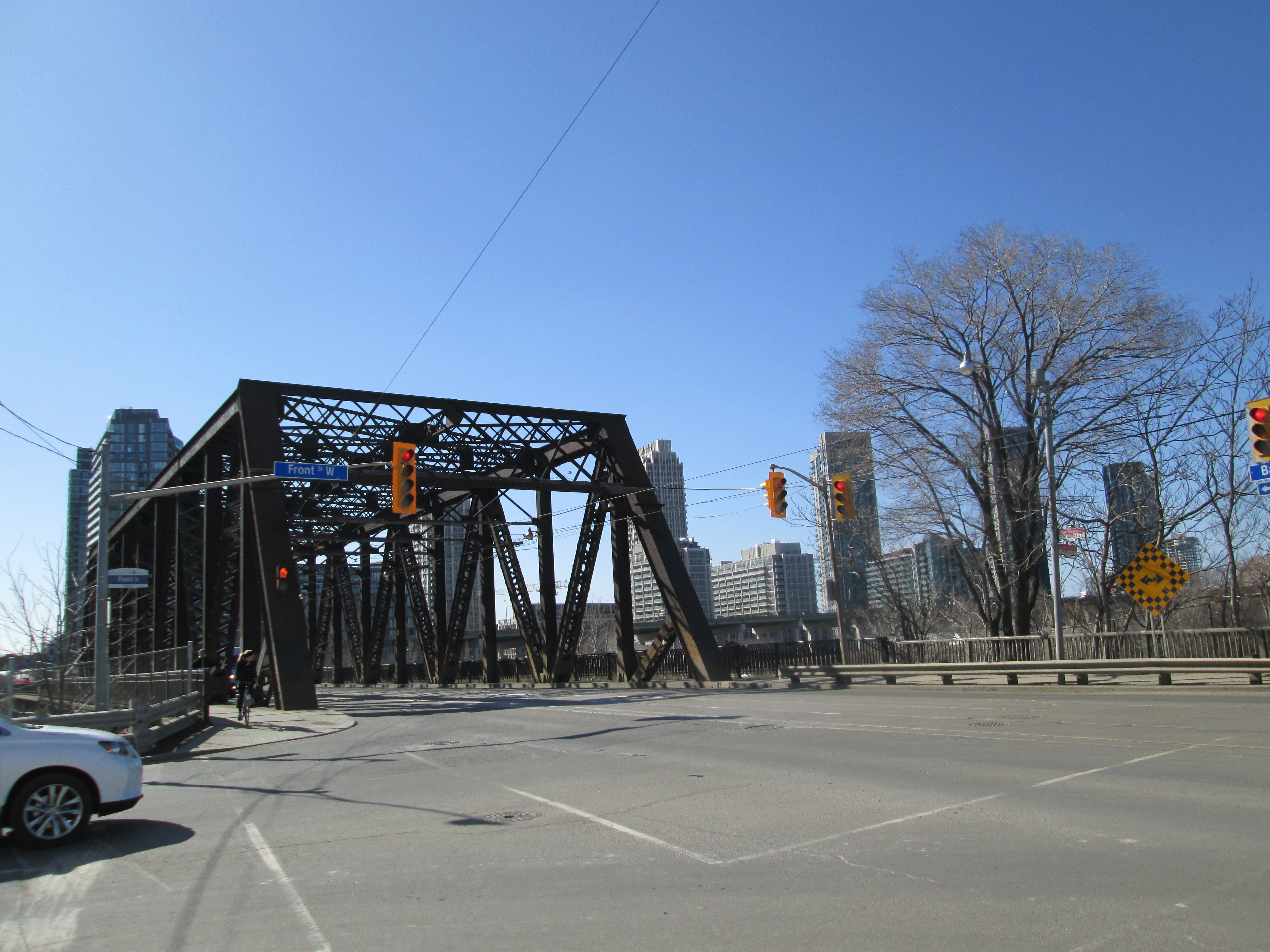
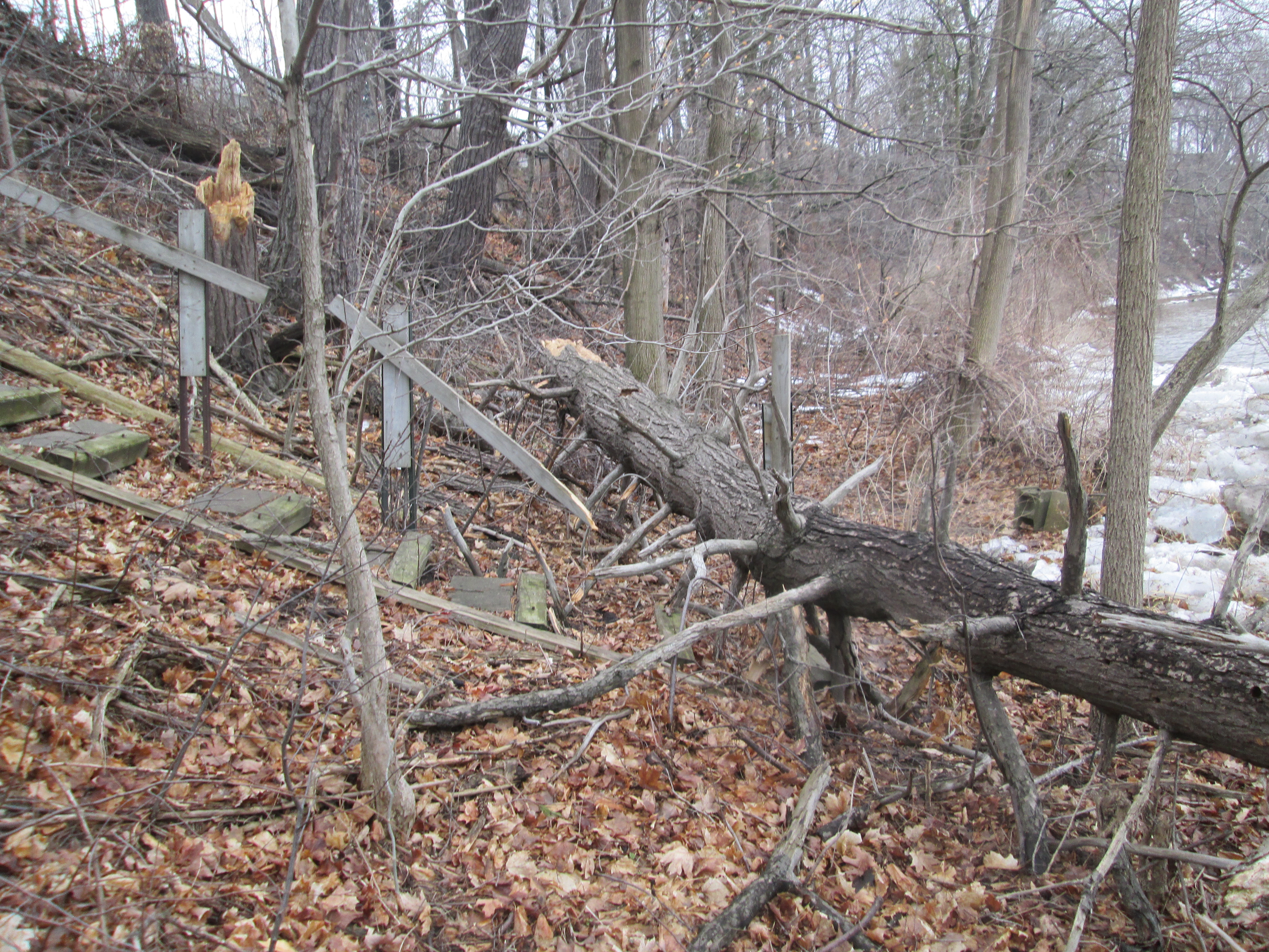
A truss bridge used to carry Mississauga road across the Credit near the end of Emberton Road. The foundations remain on the east side of the river but have been removed on west side for road widening.

IMG_3754

For more pictures of Huttonville, it’s mills and dam please visit us at:

http://www.facebook.com/hikingthegta


Garbage Park Toronto

Monday April 13, 2015

Over the past year I have posted over 700 photos taken in various parks around the Greater Toronto Area (GTA).  Hiking through diverse parts of the city one thing is common, there is very little litter in the parks.  This is not the case for the park on the south east corner of Finch Avenue and Dufferin Street.  I don’t know if it has a formal name, I have seen Dufferin Park on some maps, but I feel it should be renamed Garbage Park.  Have a look at the pictures below and see how sick you feel.  Then re-post this where the most people will see it until we get the attention of the city.

???????????????????????????????

Walking down Dufferin along the side of the ravine on my lunch I was disgusted at the amount of garbage.  I know from working in the area that the city never cleans this woodlot.  The garbage runs the entire length of this park along both Finch and Dufferin streets.  This is the view from the street into the ravine.

???????????????????????????????

There is an environmental disaster rotting on the hillside and leaching into Dufferin Creek and then the Don River.

???????????????????????????????

Toronto has a beautiful park system in our ravines.  This should also be a part of that network of wildlife habitats.

???????????????????????????????

Toronto is busy cleaning up for the 2015 Pan Am games why not invest a bit somewhere other than the downtown core?  That isn’t snow in the woods, it hasn’t melted all the years it’s lain there.

IMG_3593

If you think the city’s neglect of Garbage Park needs to end please post this where people will see it.  Spread it around Facebook.  Email it to your city councilor.  The more people requesting action the better.  I would love to come back here and show pictures of the cleaned up park. There is a history here and the foundations of at least four former homes.  There’s a better story waiting to be told.

For hundreds of pictures of beautiful parks in the Greater Toronto Area please go to:

http://www.hikingthegta.wordpress.com

http://www.facebook.com/hikingthegta

Eldorado Park

Saturday April 11, 2015

Winter has a way of hanging on and at 3 degrees we were being subjected to small pellets of ice as we started out.  Eldorado Park is the next stop northward on the Credit River following the visit to Churchville last week.

Eldorado park sits on lots 2 and 3 in the 4th concession west in Chingoucousy Township in what is now the city of Brampton.  Lot 2 was settled by Jacob Snure who built a grist mill which he called Eldorado Mills.  For lot 3, Mary Anne Forest is shown as a saw mill owner, likely after the loss of her husband.  The area has had several owners since this time.  In the 1877 historical Atlas the property is shown as belonging to Kenneth Chisholme.  The mills closed and by the early 1900’s the area was converted to a large private park known as Eldorado Park.  In 1925 the Canadian National Railway (CNR) purchased the property to try to breathe some life into the struggling suburban railway it had absorbed in 1918.  They added a Ferris Wheel and Merry-Go-Round attempting to create the ideal day trip.

We parked in the Eldorado Park parking lot and crossed the bridge to the west side of the Credit River.  Just downstream from here is Brampton’s only outdoor swimming pool.  When the Toronto Suburban Railway was completed to Guelph in 1917 it passed through Meadowvale and Churchville before reaching Georgetown.  It passed through Eldorado Park which gave the railway the idea of creating it’s own tourist attraction to which it would provide transportation. The old right of way for the train tracks ran just along the edge of the swimming pool (long closed when the pool was built) and can be followed south from there.  The picture below shows the old rail bed which, since the removal of the rails for use in Europe during WWII, looks much like any other hiking trail.  The cover photo shows one of the streetcar-like trains unloading passengers at Eldorado Park.

IMG_3395

Along the old rail corridor we decided to follow a small ravine to investigate an older building. Before we reached it we came across an old soda bottle.  Polar Beverages was founded in 1882 in Worcester Massachusetts.  Now in it’s fourth generation, this family owned beverage company is the largest independent bottler in the USA.  Polar Beverages got themselves sued in 1994 by showing a polar bear throwing a Coke in a garbage bin marked “Keep the Arctic pure”. The bottle in the picture below is dated 1948 and was made in Salem Mass.

IMG_3404

During the Depression the CPR determined that rail line and ultimately the park were too expensive to maintain, closing them in 1931 and 1936 respectively.  The park area was purchased by a Jewish group for a summer camp called Camp Naivelt (New World).  For the first few years campers used tents but during the 1940’s and 50’s about 90 small cottages were built in what would be known as Hill 1, 2 and 3.  We had wondered into Hill 3 and found The Ritz and a small building holding a water tank.  Beside them stand two abandoned buildings that were the children’s infirmary.  The roofs are caving in and these will likely be pulled down before long.  The no trespassing sign on the building applies to the whole property and the owners ask that you take this article in the spirit of preserving history and that we do our part by not entering the property.

IMG_3410

The cottages along Hill 3 are at the western edge of the property and face the old infirmary.   In the 1960’s attendance at the camp declined and 52 acres were sold off to the township.  These form the public area of today’s Eldorado Park and have helped keep Camp Naivelt from being swallowed by urbanization.  The camp is now proposed for a Cultural Heritage Designation for it’s contributions to local culture.  Folk activist Pete Seeger hung around here regularily giving impromptu concerts.  He is remembered for writing songs such as “Turn, Turn, Turn”, “Where Have All The Flowers Gone” and “If I Had A Hammer”

IMG_3424

Returning to the old electric rail line we followed it along the river until we came to the place where the bridge is out,

IMG_3437

Beyond here the hillside is oozing mud and quickly becomes impassible.  The old rail line ran across the side of this embankment but much of the remains now lie in the bottom of the ravine under the muddy water.  Parts of rail ties may be strewn along the hillside.

IMG_3441

We returned to the bridge and crossed back to the east side of the Credit and started to follow it south.  After awhile we started to find concrete scattered on both sides of the river.  After passing a foundation for some former building we started to follow a concrete wall running somewhat parallel to the river and just inside an older earthen berm.  Broken in several places it no longer holds the mill pond from Eldorado Mills.  The view below is from inside the former pond looking out through the sluice gate.

IMG_3486

The disipator at the outflow of the sluice is rotting away.  Even so, the effect can be clearly seen in the picture below as it causes the water to lose kinetic energy.  The water is churning white after dropping over a small waterfall.  As it passes each row of posts it becomes noticeably calmer.  By the time it passes the fifth row it is almost totally smooth.

IMG_3492

When we came to cross the tail race on our trip south we found that the only way was use the fallen tree just before the river.  Someone had neglected to nail a hand rail on there for us like had been done at Playter’s Bridge on the Don River.

IMG_3502

Built in the 1930’s the Creditview Bowstring bridge is one of only two bowstring truss bridges in Brampton and the only one still part of a public roadway.  Along with the bridge in Churchville it is also one of only two one-lane public bridges in Brampton.  It had fallen into disrepair and by 2002 it faced closure.  When it was given an heritage designation in 2003 it got a $700,000 makeover.

IMG_3480

Eldorado Park hosts families on picnics and dogs chasing balls these days but the history of a milling centre and an amusement park remains in the old right of way for the electric railway and the remnants of the mill pond and sluice gates.

eldorado_park_ad

Like us at http://www.facebook.com/hikingthegta

Follow us at http://www.hikingthegta.com


The Don Narrows

Saturday April 4, 2015

When York (Toronto) was founded in 1793 the Don River was home to a wide variety of wildlife. The lower Don snaked it’s way through the Ashbridges Bay Marsh before reaching the lake. At night the marshes were alight with small boats spear fishing large salmon. After a snowfall in the winter the frozen river revealed countless tracks from many different species. This past winter’s pictures show that this is no longer the case.  The cover photo shows the marshes in 1909 before they started to fill them in.  This portion of the river flows slowly because it has a very gradual slope at only 4 meters for every km it flows.  Milling operations, industry and sewage caused the river to become horribly polluted by the mid 1800’s.  By 1890 the Don Improvement Plan had been implemented to straighten the portion of the Don river below Riverdale Farm.  This channelized portion of the river would become known as The Don Narrows.  What a change from yesterday.  At 2 degrees, I didn’t end up carrying my jacket today.  I started off at Riverdale Park where I used the pedestrian bridge to get access to the Lower Don Trail.s0725_fl0012_mt00092c_don-straightening

The first bridge across the Don river was a fallen tree with a hand rail attached which was known as Playter’s Bridge.  The drawing below was made by Elizabeth Simcoe, wife the Lieutenant Governor, in 1794.  It ran where Winchester Street  bridge used to stand.  This was the starting point for my hike down the Don River.

Playter's Bridge

The final curve in the river, before the narrows, runs under the former Canadian Pacific Railway bridge.  This abandoned bridge carried the Toronto to Montreal train out across the Half Mile Bridge.

IMG_3282

Just south of here is a pedestrian bridge that carries the Lower Don Trail over the river.  The picture above was taken from this vantage point.  The third bridge is the high green steel pedestrian bridge that backs onto Riverdale Park and Farm built in 1959.  At the base of this bridge is the abandoned abutments from a bailey bridge that stood here previously.  Princess Margaret visited Toronto on July 31, 1958.  She was introduced to the city from this former bridge, of which the concrete abutments stand on either side of the river.

IMG_3284

The bridge at Queen Street replaces a couple of previous bridges.  The first one from 1803 was designed by William Berczy, father of the post master in Toronto’s First Post Office and was a wooden draw bridge.  Today’s bridge was built in 1911and contains the phrase “This River I Step In Is not The River I Stand In” above a clock.  This phrase is taken from the Greek philosopher Heraclitus who is known for his doctrine of constant change.  It was only added in 1996 and the clock has been broken since 2010.

IMG_3287

The Consumer’s Gas Bridge (now Enbridge) carries a 30″ gas main across the river.  It was constructed in 1930 for this purpose and has never actually been used for either pedestrian or vehicular traffic.  Consumer’s Gas used to operate three coal gas manufacturing plants in the city.  Customers who are supplied from the Eastern Avenue facility have their gas carried across the river on this bridge.  At the time that it was constructed the former wooden bridge for Eastern Avenue was incapable of carrying the weight.  There is a current push to have the sides opened up so that it won’t become a dam during a flood, causing a Raymore Drive kind of disaster.

IMG_3301

The double span truss bridge that stands beside the Consumer’s Gas bridge replaces an earlier bridge that was damaged by ice flows in 1933.  This was the former bridge for Eastern Avenue before the opening of the DVP in 1964 and realignment of Eastern Avenue.

IMG_3295

The first rail crossing on the lower Don was built in 1856 as part of the Grand Trunk Railway’s Toronto to Montreal line.  In 1892 a new bridge was built on the existing abutments.  In 1930 the present bridge was built on higher abutments just to the south of the previous one.  The cut stone abutments from 1856 can be seen on the eastern river bank in the picture below.  When the river was widened in 2007 for flood control purposes the west bank abutments were pulled up and used for erosion control and distributed as casual seating.  Cedar pilings that lined the river bank following the 1890 straightening of the river can be seen in the water on the near shore line.

IMG_3385

The last abandoned bridge before the harbour belonged to the British American Oil Company and was used to transport pipes across the river.  It appears to have been closed when the DVP was completed in the 1960’s.

IMG_3314

The river makes a 90 degree turn after it passes under Lakeshore Drive as it enters Keating Channel on it’s way to the lake.  The picture below is looking back toward the curve in the river with the road on the left.  The British American Oil Company who owned the lands on either side of the river refused to allow access for the river to curve to meet the Keating Channel and so the right angled connection.

IMG_3319

Along the Keating Channel, just before Cherry Street, I watched this Canada Goose jumping into the river.

???????????????????????????????

The only bridge to cross the Keating Channel is the Cherry Street bascule bridge.  Built in 1968 it replaces an earlier swing bridge.  With plans to re-naturalize the mouth of the Don river a new channel will be created south of the Keating channel.  The Keating Channel will be retained for it’s historic value but this bridge is already scheduled to be replaced.  Note the operator’s control booth elevated above the bridge on the far end.

IMG_3347

The mouth of the Don where it empties into the harbour as seen from the control room on the Cherry street bridge.

IMG_3351

There is a plan to move the mouth of the Don river once again.  The present discussion involves taking the river a little farther south and then running a more natural channel west to the lake. The areas around the new channel would be planted with trees and made into parkland.  This strip of park would revitalize the Port Lands and reclaim a brown spot on the lake shore near downtown.  The picture below shows one of several proposals for the naturalization of the mouth of the Don River.

urbantoronto-4324-13122 (1)

Google Maps link: Lower Don Trail

Like us at http://www.facebook.com/hikingthegta

Follow us at http://www.hikingthegta.com

Churchville

Friday April 3, 2015.

It was by far the warmest hike of the year so far at 12 degrees feeling like 18.  Before we got back to the cars we were carrying sweaters and coats.  It was Good Friday and perfectly applicable that we should go to church.  So we went to Churchville to explore the historical little village and the conservation area that separates it from Meadowvale.  We parked in the same lot as last week where the Second Line dead ends below the New Derry Road.  Crossing under the bridge we made our way north intending to make it as far as Steeles Avenue.

One of the first plants to respond to the warmer days and increased sunshine is the dogwood. Also known as Cornus Sericea they grow wild in wetlands throughout Canada.  Their bark takes on a brighter red colour before the leaves come out.

IMG_3167

When the Derry Road Bypass (now just Derry Road) was built in the mid 1990’s the Second Line was closed where the bypass intersected it.  After investigating a woodlot just north of the bypass we headed west back toward the Credit River.  The picture below shows the closed second line looking south toward Meadowvale.

IMG_3181

The Credit Valley Railway (CVR) was incorporated in 1871 with a mandate to build a railway from Toronto to Orangeville with various branches westward to Waterloo.  The railway stopped at Meadowvale where the station was at the corner of Old Creditview and Old Derry (now marked by a single old telegraph pole).  It bypassed Churchville on the east and made it’s next stop in Brampton.  By 1881 the CVR was in trouble and was incorporated into the Canadian Pacific Railway.  We crossed the old CVR tracks where some of the tie down plates are dated 1921 as seen below.

IMG_3209

Perhaps the first new growth of the spring are these Coltsfoot flowers that are growing along the banks of the river.  Coltsfoot are unique in that the flowers appear without the previous formation of any leaves.  After the seeds are distributed the flower disappears and the leaves grow, making at appear to be a plant without flowers.  The name comes from two Latin words which mean to act on, or cast out, a cough.  We now know that the plant has certain toxic alkaloids that destroy the liver and some countries have banned it’s medicinal use.  The plant which is the first sign of new life this spring turns out to be toxic to life, if ingested.  In the picture below it looks like a dandelion but is too early and also lacks the green leaves.

IMG_3227

Built in 1907 the current one lane bridge over the Credit River in Churchville replaced several earlier wooden bridges that crossed the river in the centre of town.  The bridge style is known as a steel pony truss bridge.  A truss bridge is one of the earliest designs of bridges and was very common during the 19th and early 20th century.  A truss bridge uses a design of triangles to keep the elements of the bridge stressed either through tension or compression.  Where the sides extend above the roadway but are not connected across the top it is known as a “pony truss”. This bridge is one of only two single lane bridges remaining in Brampton.  A 1911 picture of the bridge is featured in the cover photo.  It was taken at about this time of year and large slabs of ice are melting beside the bridge abutments.  Of note are the three people who are standing on the outside of the bridge railing in the historical photograph.

IMG_3253

Amaziah Church founded the town in 1815 when he built mills on the Credit which were at first known as Church’s Mills.  With a population of 80 it got it’s own post office and the new name of Churchville in 1831.  By the 1850’s it had peaked at over 200 people and was home to 5 mills and over 20 small businesses plus three general stores.  The crash in grain prices following the Crimean War hurt the small milling community and between 1866 and 1877 all of the mills closed.   In 1875 a fire destroyed much of the town, which was never rebuilt.  The failure of the CVR to come into town in 1877 was a final blow to ensure it wouldn’t recover from it’s decline. Of the 98 homes that once stood in the village less than 20 remain.

This building dates to 1840 and may have originally been a wagon shop belonging to Thomas Fogerty.  It served as the final general store for the community and lasted until the 1960’s when it was converted into a residence.  The original store windows have been hidden when the front porch was enclosed.

IMG_3251

Formerly known as the May Hotel this 1830’s structure is one of the oldest surviving buildings in Churchville.

IMG_3235

At one time there were three churches in town.  The Anglican and Episcopalian churches have been lost and the only one remaining is the Weslyan Methodist, built in 1856.

IMG_3256

The old plow in the picture below has been sitting in one place for so long that a group of small trees is growing up in the middle of the frame.

???????????????????????????????

The first burial in the Churchville cemetery was Amaziah Church in 1831.

IMG_3244

The town of Churchville sits on the floodplain for the Credit River and has experienced repeated flooding over the years.  When the town was recognized as a Cultural Heritage District it was decided to do something to protect the historic homes in town.  In 1989 a protective berm was built between the river and the homes along it’s east side.  Behind houses it has been built with a concrete wall and between houses the gentle slope of the berm can be seen.  The picture below is taken from beside the former volunteer fire department station.

IMG_3249

Tagged on the plate as a 100 year vehicle it was appropriate that we saw it entering the 1907 bridge.

???????????????????????????????


Meadowvale Cultural Heritage District

Saturday March 28th, 2015

This is a second part to the post Silverthorne Grist Mill – Meadowvale.

In 1805 the “old survey” was completed in which the native people sold their lands except for 1 mile on either side of the Credit river.  When the “new survey” was completed in 1818 the river was ceded as well and this opened the area up to settlers who wanted access to the river to build saw or grist mills.  John Beatty arrived in 1819 and was the first settler in the area.  Huge pine trees lined the hill sides but a grassy meadow lay around the river.  From this came the name of the town, Meadowvale.  From 1819 until the mid-20th century the town changed very little.  It remained centred around a triangle of streets wedged between Derry Road, Second Line and the Credit River.  As the city of Mississauga started to grow wildly in the 1970’s the people of Meadowvale started to worry that their small town would lose it’s historical charm. They applied to have the town formally recognized as Ontario’s first Cultural Heritage District.

The following is a look at some of the heritage buildings in the village of Meadowvale.  Others have been featured in the post Silverthorne Grist Mill.

Known as the “Hill House” this little home was built in 1840 and is one of the oldest homes in the village.  It has always remained a private residence belonging to the Hill family after 1896. The early Methodist church meetings were held in this house until the church was built in 1863.

IMG_3115

George Bell (no relation to the famous Blue Jay) was the town blacksmith and in 1844 he purchased land from mill owner John Simpson on which to build the first hotel in Meadowvale.   Bell Hotel was built across the street from the grist mill at 1090 Old Derry Road.  For awhile it was also known as Temperance Hotel.  The building is currently in use as residential apartments.

IMG_2987

In 1852 the Brick Hotel was constructed at 1051 Old Derry Road by Matthew Laidlaw.  The stacked open veranda was on the original building but was removed before 1900.  Guests would sit out here to enjoy the evening and get coated with dust from the street in front of the hotel.  The veranda was replaced in recent years.

IMG_3097

In 1857 Meadowvale got it’s first post master in the person of Luther Cheyne.  The post office was operated out of Silverthorne’s store.  In 1860 Cheyne built a home at 7053 Pond Street that was sold to the Farnells in 1890.  In 1920 it was bought by two ladies who opened the Apple Tree Inn tea room in the house.  When this closed in 1944 the house again became a private residence.

IMG_3118

Weslyan Methodist was the primary denomination in much of early Upper Canada.  The 1863 church on the corner of Derry and Second line has had a front porch, or narthex, added to it over the years.  There is a trim of yellow bricks around the top of the older part of the building that can be glimpsed behind the tree on the right hand side.  In 1925 the Methodist church joined 3 other denominations to form the United Church of Canada.  Today it serves the United Church in town.

IMG_3102

The 1870’s were a period of prosperity for Meadowvale while the mills were under the ownership of Gooderham and Worts.  This photo shows the Gooderham Estate as it looked around 1900.  The current house is featured in the Silverthorne mill post.

Gooderham House c1900_th (1)

Around 1870 Johnson’s wagon and blacksmith shops were built at 1101 Willow Lane close to the grist mill.  The original 1870 house still stands on the property as well as a grand old fashioned mansion that was built in 1999 in a style that fits the character of the village.  The wagon shop is featured in the cover photo and the blacksmith shop is below.  Notice the two windows in the second floor of the wagon shop.  Painted parts would be left upstairs to dry.

IMG_3054

In 1870 the Graham house was built next to the Methodist Church on land donated by John Simpson for a home for his daughter Elizabeth and her husband.  This is one of the more ornate homes in town.

IMG_3098

In 1871 a second school was built to replace the old one that stood at the corner of Barberry Lane and Second Line.  The first one had been built in 1851 and was used as a private residence after the new school was built.  Barberry Lane was originally named second street but was renamed after the Barbers who lived in the old school house.  The old school house was lost to a fire in 1974.  The new school was built just behind the Methodist church on land donated by the Simpson Family. It has served as the town hall since 1968.

IMG_3103

In 1879 the Credit Valley Railroad came to Meadowvale.  The chief financial backer was George Laidlaw who was responsible for much of the rail system in and around Toronto.  The picture below shows the CVR station for Meadowvale around 1905.

LG_M319

The homes in the village were mostly built prior to the time of running water.  They would have had an outhouse for a washroom and a hand pump for their well.  Many of the homes in town still have their old pumps on the front lawn.  (Fortunately it looks like they all have indoor washrooms now making that cold winter trip a part of history as well.)

IMG_3122

Along Second Line stands this old post.  A reminder of the days when mail service was made to individual post boxes set at the end of a person’s driveway.

IMG_3130

Today people must go the a “super box” gazebo to collect their mail.  The mail gazebo is located on top of the ruins of the old mill. The old mixed with the new.  In the picture below the old mill ruins can be seen in the background behind the gazebo.

IMG_3147

Meadowvale is full of heritage houses only a few of which have been featured here.  It is a quiet community of narrow streets with no curbs or sidewalks.  A time capsule tucked in the heart of the city of Mississauga.

Like us at http://www.facebook.com/hikingthegta


Silverthorne Grist Mill – Meadowvale

Saturday March 28, 2015

(Revised March 31st)

It was minus 10 with a wind chill of minus 18.  This was one of the coldest morning hikes of the year, in spite of the date on the calendar.  We parked in the Meadowvale Conservation Area parking lot where the Second Line dead ends south of the new Derry Road.  We crossed under the bridge and walked north where the Meadowvale mill pond once connected with the river.

When John Beatty arrived in 1819 he brought the first settlers to the area.  He built mills along the Credit River and founded Meadowvale.  In 1831 Beatty sold his mills to James Crawford who opened saw and carding mills to compete with John Simpson who operated mills on lot 10 south of  Derry Road.  By 1836 Meadowvale had reached village status.  In 1844 Francis Silverthorne took over from Crawford and greatly expanded the mill complex building a saw mill.  In 1845 he added a large grist mill.  When it burned in 1853 he got backing from the Bank of Upper Canada and rebuilt.  During the Crimean War the price of flour had jumped from $1.50 per barrel to $3.00.  Silverthorne stockpiled grain in an effort to take advantage but when the war ended in 1860 the price fell to $1.00 per barrel.  When the Bank of Upper Canada foreclosed on his loan, William Gooderham, who was in charge of the bank, bought the property.  Gooderham and Worts had also purchased Alpha Mills, north of Streetsville, the same year.  Silverthorne retired to the family mansion, Cherry Hill.

After the Gooderhams the mill was owned by the Wheelers until 1895 when it was sold to Henry Brown.  Henry restored the mill and returned it to full production.  In 1906 he set about developing Meadowvale into a tourist attraction.  The first step was to increase the size of the mill pond and create what came to be known as Willow Lake.  He built a larger dam further north on the Credit to allow more water to be retained.  By following the western wall of the former Willow Lake we were able to locate the remnants of this dam.  Concrete remains can be found on both sides of the Credit River.

IMG_3079

Water is held in the western most parts of the old Willow Lake as we made our way along the berm toward the old mill.  The land along the western side of the old lake has been scooped out to create a retaining wall for the mill pond.

IMG_3077


After publishing this post I came across the following picture in the heritage assessment of 2014.  It shows an aerial view of Meadowvale with the old mill pond drawn in with dark blue and previous courses of the river in light blue.  Derry Road runs across the lower right corner and second line across the upper right corner.  Silerthorne’s grist mill is sketched in where the mill pond approaches Derry Road then follows along it in dark blue as the tail race.  His saw mill is drawn in a little above there where an old tail race returns to the river.

IMG_0101

As you approach old Derry Road concrete structures from the mill come into view.

IMG_3068

The mill stretched over both sides of the millway with the water wheel, and later the turbine, generating power to turn the grinding wheels to produce flour.

IMG_3030

The foundations on the west side of the millrace are pictured below.  Notice the stonework in the middle at ground level that marks a former water tunnel through the wall.

IMG_3137

This picture shows the main foundations for the water wheel.  Notice the bridge in the background where the tail race leads out along Willow Lane on it’s way back to the Credit River.

IMG_3064

The mill changed hands several times until it went out of production in 1950.  The Emersons owned the mill at the time and kept it for storage.  Fire is a common fate for grist mills and the community became concerned about its safety.  The wood was 100 years old, dry and full of a century of flour dust.  When Luther Emmerson was told he had to demolish it he did so himself.  Smashing it up in a fury and leaving the pieces where they fell.  The wood was carried away and the rest settled and was filled in.  They say the old turbines are still buried in the basement.

The mill stone has been preserved on the site of the Silverthorne Mill.  Mill stones come in pairs. The lower stone is stationary and is called the bedstone.  The upper stone, or runner, spins and does the actual grinding.  The grooves serve to channel the flour to the outside of the stones for collection.  The grain is fed through the eye in the centre of the runner stone to be ground between them.  Both upper and lower stones are preserved here.

IMG_2985

Willow Lane used to be known as Water Street and is home to some of the oldest houses in the village.  The house at 1125 Willow Lane is the oldest remaining building in town having been constructed in 1825 by John Beatty.  It later belonged to Crawford, Silverthorne and Gooderham as it seems to have changed hands with the ownership of the mills.

IMG_3058

By 1917 Guelph was linked to Toronto via the Toronto Suburban Railway line.  It ran from Lambton to Guelph, passing through Meadowvale.  The line ran from 1917 until it was shut down in 1931 when travel between Guelph and Toronto had switched to bus and car on highway 7.  The tail race from Silverthorne’s mill ran between Derry road and Willow Lane. The foundations of the old suburban railway line remain but are badly crumbling.

IMG_3041

The picture below shows the railway bridge over the tail race in 1915.  The past 100 years have taken their toll on the bridge.  The route of the train is even less easily distinguished as a flood control pond has been built on the old right of way south of Derry road.

Radial Railway Bridge, Meadowvale, c1915

Walking along the river back to the car you could hear the rustle of slush in the river as it rubbed along the river bank.  We weren’t the only ones hiking up the Credit River.

IMG_3024


By 1856 the mill was a major employer in the village and Silverthorne built cottages for his mill workers at 7077 and 7079 Pond Street.

IMG_3124

Charles Horace “Holly” Gooderham came to Meadowvale to run the mills on behalf of his father William Gooderham of Gooderham and Worts in Toronto.  In 1870 he commissioned a 21 room mansion that cost him $30,000.  The Gooderhams ran the mills, a cooperage and the general store in town.  When William Gooderham died in 1881 Holly left for Toronto and the estate was sold.  During the 1920’s it belonged to Samuel Curry whose brother, Walter, was a Member of the Legislative Assembly in Ontario from 1919-1923.  The house received several modifications over the years, including the oversized front portico and the white siding in the late 1970’s.

IMG_3094

Meadowvale was the first community to be honoured with the designation “Heritage Conservation District“.  The original community survives, largely intact, complete with it’s narrow streets designed for horse and carriage.  There are many historic buildings in town which will form the basis of a companion post.


Military Burying Grounds

Sunday, March 22, 2015

It was minus 7 but sunny and not much like spring at all.  Having been at John and Richmond I had a short walk to Portland and Wellington to visit Victoria Memorial Park.

On July 29, 1793, a detachment of The Queen’s Rangers under the guidance of Lieutenant Governor John Graves Simcoe arrived from Newark (Niagara-On-The-Lake) and began work on Fort York. This was the founding act of what would become the city of Toronto.  Simcoe brought with him his wife Elizabeth and their seven children.  They lived in a tent near Fort York until their home at Castle Frank was built.  Katherine Simcoe was their youngest daughter, born on January 16, 1793, in Newark.  By Good Friday in 1794 Katharine had been feverish for two days while she was cutting teeth.  Before the day was over she would pass away.  On Easter Monday, April 19 she was laid to rest in a small clearing hacked out of the bushes a little north of their tent.  This was the first burial in the town of York (later Toronto).  This small burial grounds would become the garrison burial grounds until it was deemed full in 1863 and closed. Casualties of the Battle of York on April 23, 1813, are likely buried here.  Following the Battle of Stoney Creek in June of that year, the town of York became the hospital for anyone injured in the Niagara peninsula.  John Strachan had become the civilian leader of York after the retreat of the British and the occupation of the town by the Americans.  He presided over half a dozen burials a day in the summer of 1813.  After the cemetery was closed it remained British Military property but was left abandoned and forgotten.  In 1883 it was decided to transfer ownership to the city on condition that it be maintained as a public park. The cover picture shows the run down condition of the cemetery in 1884.

The Military Burying Ground is shown on Goads 1880 Fire Map but although Victoria Memorial Square Park is shown on subsequent maps the cemetery is omitted.  The cemetery was laid out facing magnetic east so that the occupants could rise facing the sun on judgement Day.

Military

The old cemetery is marked with a row of paving stones that run at an angle to the sidewalk within the modern park.

IMG_2958

As early as 1883 there was a plan to put a cenotaph in the middle of the park to honour those who had given their lives in service to the military.  A petition was made to local residents to identify any known burials in the cemetery as well as the regiments and companies represented.  (The most unusual claim is that LTE. Col. Francis Battersby brought the horses he used in the Battle of Burlington Heights on July 13, 1813, to the garrison burial grounds and shot them.  He preferred to bury them with honour than have them end up at a glue factory.)  It took until 1902 before a statue was started and it wasn’t finished until 1907. The sculpture on top is called The Old Soldier and was created by Walter Seymour Allward.  Allward would later commemorate Canadian war dead in France with his Vimy Memorial.

IMG_2952

Known as the Garrison Church, the Anglican Church of St. John the Evangelist was constructed in 1858 overlooking the burial ground.  It was replaced in 1892 with a red brick building which stood until 1963 when it was demolished.  The church was originally on the military lands but when Wellington Street was extended it cut the church off from the park.  All of the literature I can find as well as the interpretive sign in the park date the church to 1893.  The date stone is all that remains of the church and is a couple of feet from the sign that says 1893 but the stone clearly says AD 1892.  I think we should take the one carved in stone as being correct.

IMG_2957

Broad Arrow symbols once marked the four corners of Victoria Memorial Square Park claiming it as British Military property.  As a youth, Sir Sandford Fleming had surveyed Victoria Memorial Square Park and the military reserve around Fort York.  Fleming went on to become the Chief Engineer of the Canadian Transcontinental Railway and invented our modern system of 24 time zones.

IMG_2961

I walked from the park down Bathurst street to visit the military cemetery that was used after this one was closed.  The steel girder bridge on Bathurst near Front street was built in 1903 to span the Humber River but has been located here since 1916.  The chasm it spans contains more than what meets the eye.  Under the bridge, and running along the east edge of Fort York, is Garrison Creek.  The creek was the largest water course between the Humber and the Don rivers.  Pollution and sewage led the city to bury part of Garrison Creek in the 1880’s. By 1920 the entire creek had been forced into the sewer system and much of the ravine above it was filled in.  The bridge is named Sir Isaac Brock Bridge after the General who fell in the Battle of Queenston Heights on October 13th,1812.

IMG_2980

From Sir Issac Brock Bridge you can see one of the Community Canoe Gardens.  This project aims to re-purpose 12 old canoes and turn them into bee friendly garden planters.  The canoes are to be located along the former water course of Garrison Creek.  This one is where the creek used to flow along the edge of Fort York.

IMG_2978

From the bridge, you can also see the east gates of Fort York.

IMG_2965

When the Military Cemetery at Victoria Memorial Square Park was considered full a new burial ground was selected near the New Fort on the CNE grounds.  After less than a dozen burials this site was closed and the bodies removed to a location near Strachan Avenue at the west end of the Garrison Commons.  This had been the site of the American advance against Fort York on April 23, 1813, when the fort was captured and held for 6 days.  This cemetery was used to bury the military and some of their families.  It was closed in 1911 and the view below is from 1926 with the buildings of Fort York in the background.

Fort York Burying Ground 1926

The view from a similar position today has an entirely different backdrop although Fort York is still there.

IMG_2977

Today, the two sites in Toronto where our fallen soldiers lie are largely forgotten by the people who enjoy the freedom that they gave their everything to preserve.

Google Maps links: Victoria Memorial Square Park, Garrison Common

Like us at http://www.facebook.com/hikingthegta

Follow us at http://www.hikingthegta.com

Alpha Mills

Saturday Mar. 21, 2015

Spring officially started last night at 6:45 local time.  This morning was cloudy and dull with a wind that made the two degrees feel more like minus six.  A winter hang-over I guess.  We parked at the end of Alpha Mills Road where a walkway leads to the Credit River off Plainsman Road.

In 1825 Christopher Row(e) built a mill on lot 7 Concession IV where the river curves to the east, just north of Streetsville.   When J. Deady took over running the mill he renamed it Alpha Mills. It can be seen near the centre in the cover picture from the 1877 Peel County Atlas on property shown as belonging to Gooderham and Worts.  By 1877 there were 30 mills on the Credit River with 10 of them being textile related.  This was a localized industry that included the Barbertown Mills.

By the mid 1850’s Gooderham and Worts (G&W) had become the largest distillery in Canada and today their downtown manufacturing empire is preserved as 40 heritage buildings.  It is the largest collection of Victorian era industrial architecture in North America.  G&W began adding other mills to their holdings including Norval in 1845 and Hillsburgh in 1850.  In 1860 they acquired Alpha Mills and branded it as Alpha Knitting Mills.  G&W operated the mill until around the turn of the 20th century. William Gooderham’s grandson Albert would go on to purchase and gift a piece of property for Connaught Labs to the University of Toronto in 1917.  The 1971 aerial photo below shows the mill pond as the flat black area in the upper right corner.  The mill dam and water fall stretch across the river with the Alpha Knitting Mill building standing to the left just beside the dam.

Alpha

Not long after the photo above was taken the buildings and dam were removed and one of the most detailed diversion weirs I’ve ever seen was built in it’s place.  Storm water flows out of a buried channel and into these eight slots.  The concrete is curved upward to prevent things from washing over the edge and choking the system below, in this case it is this winter’s ice sheets.  The curve of the concrete gives the optical illusion that the water is flowing up hill.

IMG_2861

From the bottom of the storm drain looking back up there are 8 rows of concrete pillars with half-round steps in between.  For most of the length they are divided down the middle by a concrete wall.

IMG_2930

The long cold stretch of below freezing weather throughout February of this year froze the Credit River to a depth of up to two feet,  When the snow finally started to melt, the water level in the river increased under the ice, snapping it into large sheets which then washed up on the shore.  In the picture below they are stacked up four high.

IMG_2902

As we walked north up the west side of the river we crossed large chucks of river ice.  The piece of wood in the picture below has been trimmed clean by the local beaver.  It is rounded at both ends and all the bark removed.  Rather than construction material, this has been a food source for an example of Canada’s largest rodent. Once on shore, the river ice tends to melt in one of two ways.  The example in the picture below shows a slab of ice cut through by hundreds of small holes.

IMG_2905

In other places the ice is full of thousands of fine cracks that cause it to shatter into little shards. Either way, the ice is melted much faster than if it just melted along the exposed surfaces.

IMG_2904

I don’t usually post pictures of dead animals, although we see all kinds of them, but this Kestrel was wedged upside down in a pine tree.  There was no obvious cause of death and it appeared to have happened very recently.  Quite possibly it flew into the tree in the dark and broke it’s neck although this kind of accident must be quite rare.  It is considered rare, but birds do suffer heart disease, making this another possible explanation.  Or this kestrel might simply have been doing it’s impersonation of Kessel.

???????????????????????????????

Having made our way to Creditview road we crossed on the bridge and started back up the other side. While walking along the river at this time of year it is important not to walk on any shelf of ice that might be close to the river edge.  I suspect that, had we stepped on this shelf when we passed, we wouldn’t have enjoyed the water quite as much as the two ducks in the picture below.  Like these ducks, it was obvious that the bird kingdom has started to count itself off into breeding pairs.  Cardinals, Buffleheads and Canada Geese were also seen to be paired up.

IMG_2908

There is only a short stretch of the east river bank that is safely passable at this time of the year. The bank of the river on this side is full of new growth and bramble.  At one time several of the homes on top of the ravine had built wooden or concrete stairs to access the river side.  The tree that has taken out this abandoned set of stairs looked like fair warning and so we returned to Creditview Road.  Sir Monty Drive provides a short cut back to the park without having to walk too far on roads.

IMG_2909

The park on the east side of the river is accessed from Sir Monty Drive and has a maintained trail on it.  This part of the river is known as River Run Park.  Large clusters of teasels grow along the trail.

IMG_2916

Someone has taken the time to cover this old well with a roof but the current dwelling is at the top of the ravine.  Perhaps an earlier home stood closer to this water source making the task of bringing water to the hill top unnecessary.

IMG_2917

Visit us at http://www.facebook.com/hikingthegta for a gallery of additional photos.


Downsview Dells

Saturday March 14th, 2015

It was a couple of degrees above freezing when we parked in the Downsview Dells parking lot south of Sheppard.  With one week left before the official start of spring, there are finally some signs that it is coming.

Bartholomew Bull bought a farm on lot 8 concession 3 (west of Keele between Lawrence and Wilson) in 1830 and gave it to his 2 year old son, John Perkins Bull. When John got married in 1844 he settled on the farm and named it Downs View.  He opened his house up as a place for religious services and during the 35 years he spent as Justice of the Peace he held court in his house and locked the convicts up in the cellar.  The house is currently in use as North Park Nursing Home.  Hopefully they don’t lock up the patients in the old jail.

IMG_2860

When this park was created in 1960 it was named Black Creek Park.  The name was soon changed to prevent confusion with Black Creek Pioneer Village.  Black Creek flows from its headwaters in Vaughan to where it empties into the Humber River in the middle of Lambton Golf and Country Club.  Golf balls are a frequent sight along Toronto’s parks and ravines.  A golf ball will have between 300 and 500 dimples on it, with the number 366 being used frequently. Early in the history of golf, players noticed that older balls with nicks and bruises on them went further. These marks create turbulence in the layer of air closest to the ball and increase the distance the ball travels.  The dimples on the ball are there to act as turbulators. We found a Lambton golf ball that wouldn’t be out of place a few kilometers south of here.

IMG_2857

As we headed south down the west side of the creek we found ourselves climbing in and out of little valleys and hills.  A dell is a small treed valley.  When the name was changed from Black Creek Park to Downsview Dells it was certainly appropriate.  The cover photo shows the entrance to the park in 1963.

IMG_2821

One of the first sure signs of a change in the weather is the revival of those creatures that hibernate.  Not all spiders hibernate.  Many of them produce an egg sac and then die in the fall. Others build a nest inside the bark of a tree or in a rock pile.  At one point we found a split in a rock and dozens of tight little spiders nests inside.  When the weather warms up in the spring they hatch or wake up.  We saw this little spider hanging from a sumac tree.  Later we saw another spider of a different variety.  It was very tiny and perhaps a new hatchling.

???????????????????????????????

The American Robin migrates south and returns along with the warmer weather.  We saw a large flock of them making their way along the muddy ground listening for worms.  With the ground still frozen below the surface the worms are not yet accessible but at least the spiders are.

???????????????????????????????

A further sign of spring is the open water on the creeks and rivers in the city.  Two weeks ago we were able to cross at will.  The water has not crested yet and it will continue to rise until the snow is melted and the ground thaws out.  With the slow melt this year we may avoid some of the more serious flooding that a quick melt can cause.

IMG_2822

This giant paper wasp nest is about the size of a soccer ball.  Notice the buds on the tree which are starting to open.

IMG_2846

In the 1930’s the Great Depression resulted in many homeless men drifting through Toronto looking for work.  The original Seaton House was built in 1931 to provide food and shelter for some of these men.  In it’s current facilities since 1959, it has housed up to 900 men at a time, making it the largest homeless shelter in the city.  Seaton House also operates Downsview Dells.  This drug and alcohol rehab centre is tucked within the northern end of the park.  It houses 30 men who are referred there from Seaton House.  The house has a no trespassing sign on the side but is clearly visible from the park.

IMG_2843

Perhaps the high success rate is due to the Ent who stands guard near the drive way to the rehab centre.

IMG_2797