Sunday, April 30, 2023
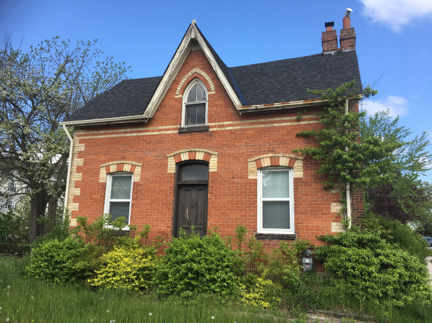
John Leslie and Esther Beaty moved from Sutherlandshire in Scotland in 1824 and leased 200 acres from Kings College. The lot near Meadowvale was formally known as Lot 12 concession 5 in the Township of North Toronto. Here they built a story-and-a-half log cabin in 1826 close to Mullet Creek, which ran through the property. They raised their 7 children in this 26 foot by 36 foot home constructed of white cedar. They bought the property in 1845 and eventually added a full basement below the home, setting it on walls made of field stone. A summer kitchen was later added but has since been removed.

In 1860 the house was upgraded and a larger front door was added to give the home a more classical look. The door has sidelights on either side which provided some natural light into the hallway. One of their sons was named Robert Leslie and he was a builder. He is known for building a home for William Barber in Streetsville and the Benares House in Clarkson. He likely did the modifications to the Leslie home as well.
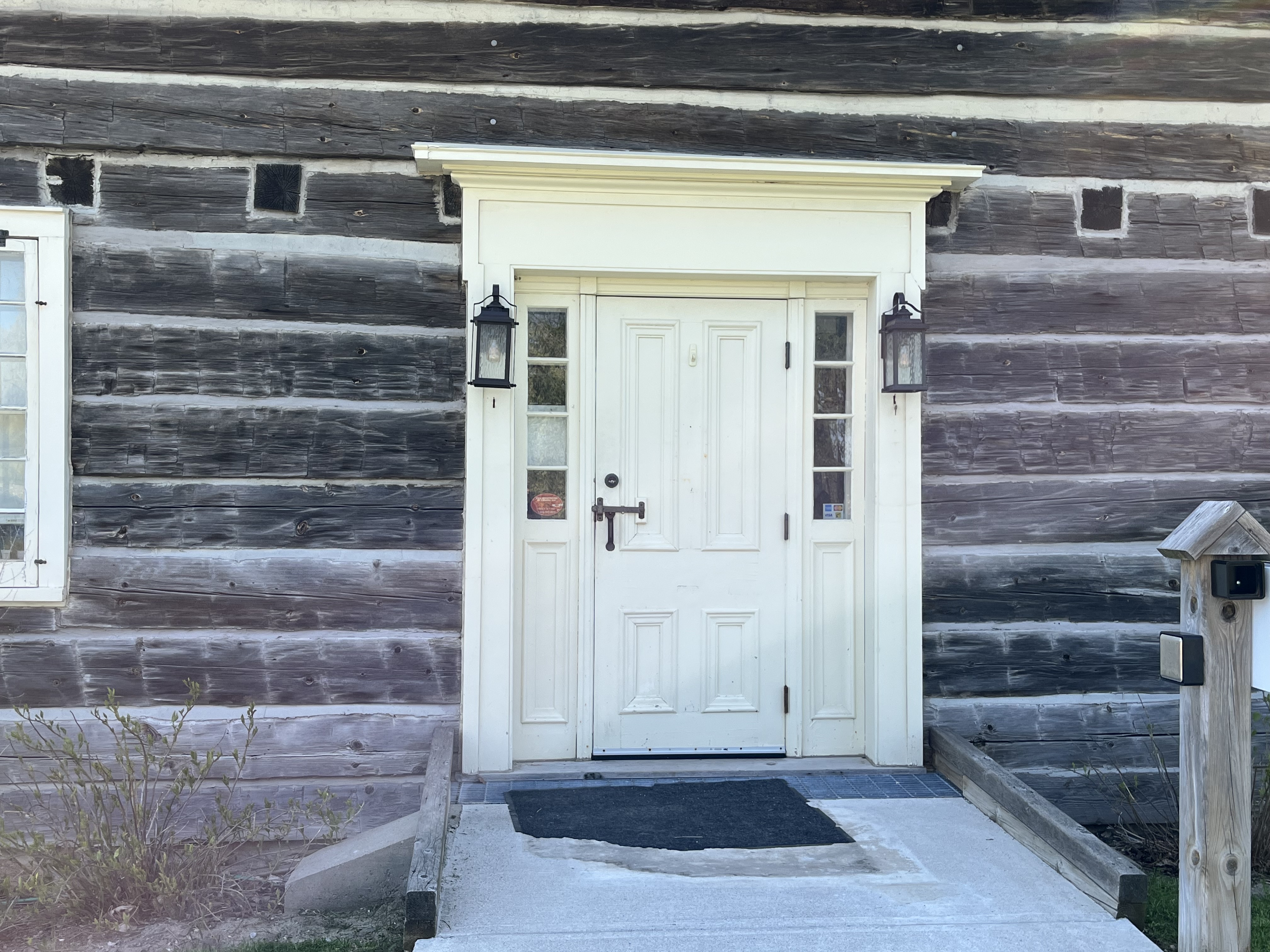
In 1880 clapboard siding was installed on the house but it was removed around 1960. As a result there are many small holes in the logs from where it was fastened on. The windows were also upgraded as part of the 1860 improvements. These windows could be louvered out in order to let fresh air into the home.

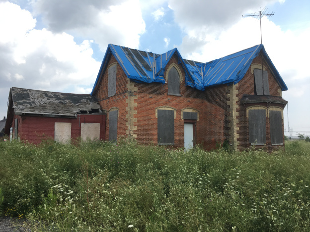
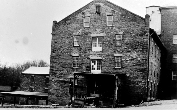
The back of the Leslie home also has a door, one of three. It’s very uncommon for a log house to have more than one door and I think this is the only one that I have visited that has so many of them. Looking at the way the logs are chinked around the door it is obvious that these logs have been cut because they don’t extend the full length of the building. When you look at the image of the house as it was preparing to move you can see that there is no openings on the rear of the house. The small window has also been added.
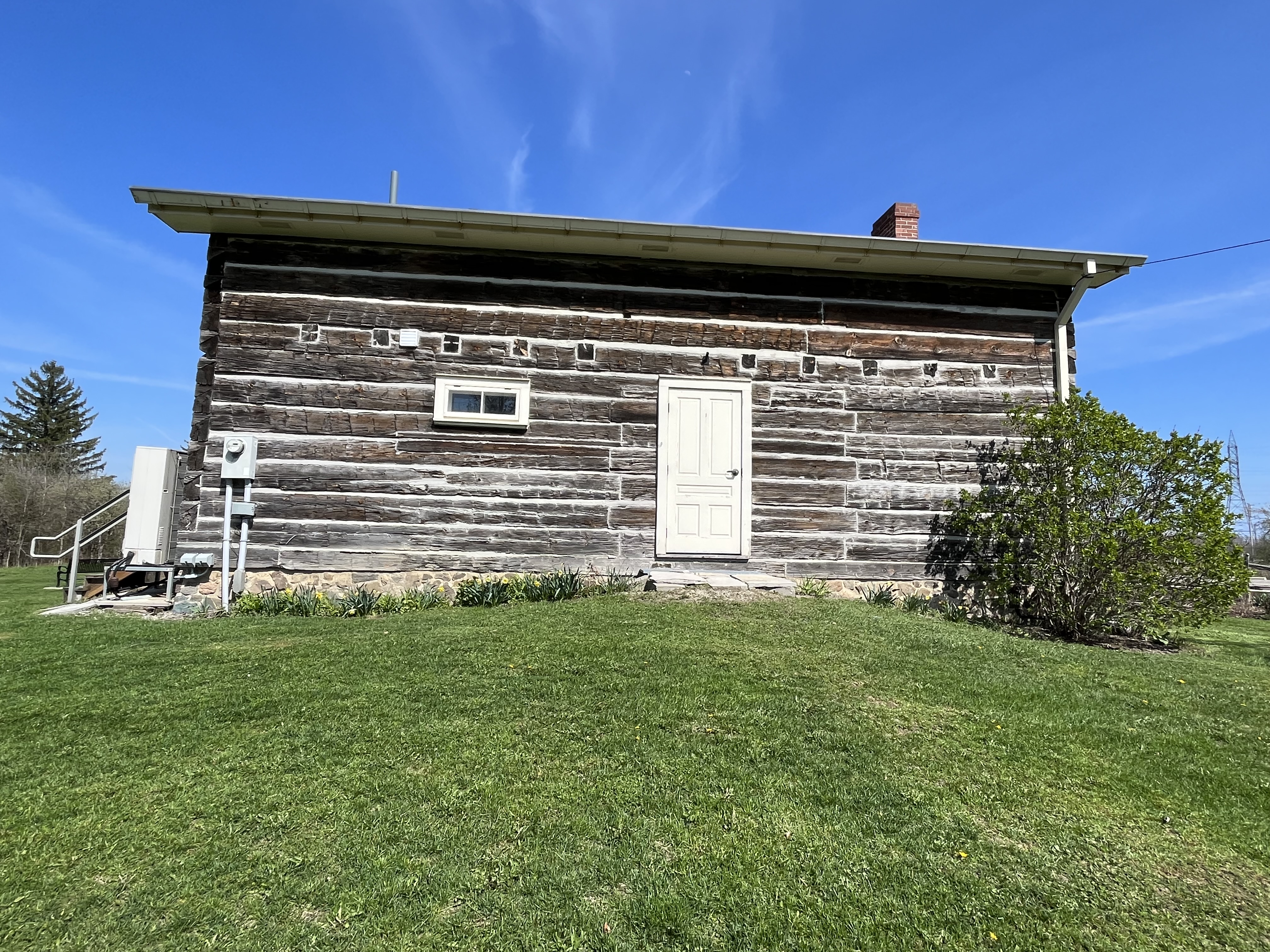
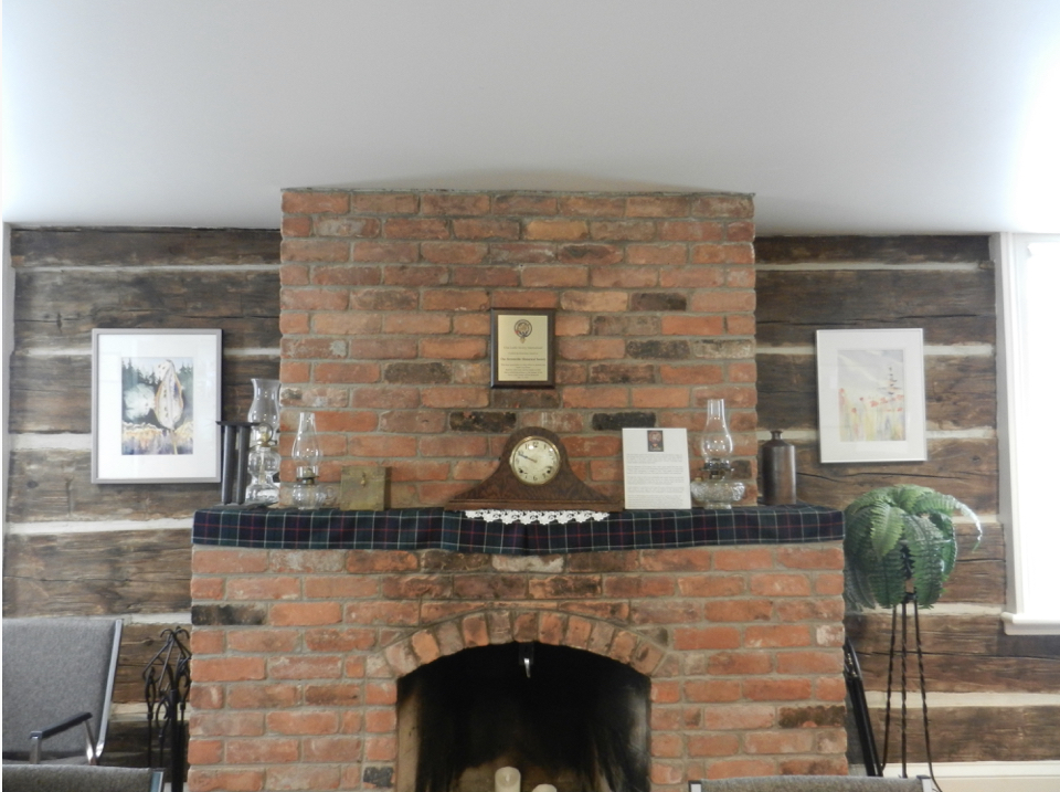
Another of the Leslie sons was named George and he moved to a part of Toronto which would later be known as Leslieville in his honour. There he operated a successful nursery. The only bricks on the outside of the home mark the site of the fireplace.

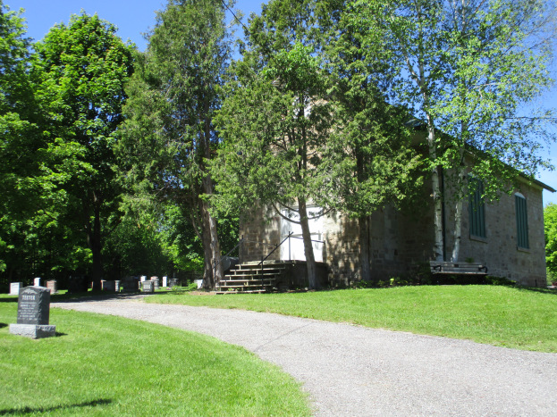
The home is free to visit but has very limited hours so please check before you plan to go. The image below from the Streetsville Historical Society shows the fireplace.
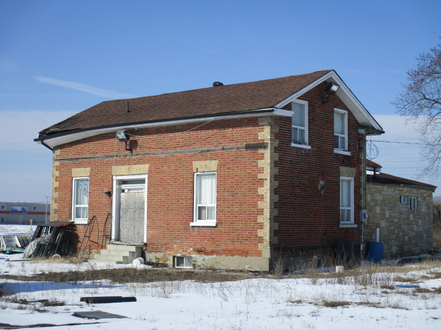
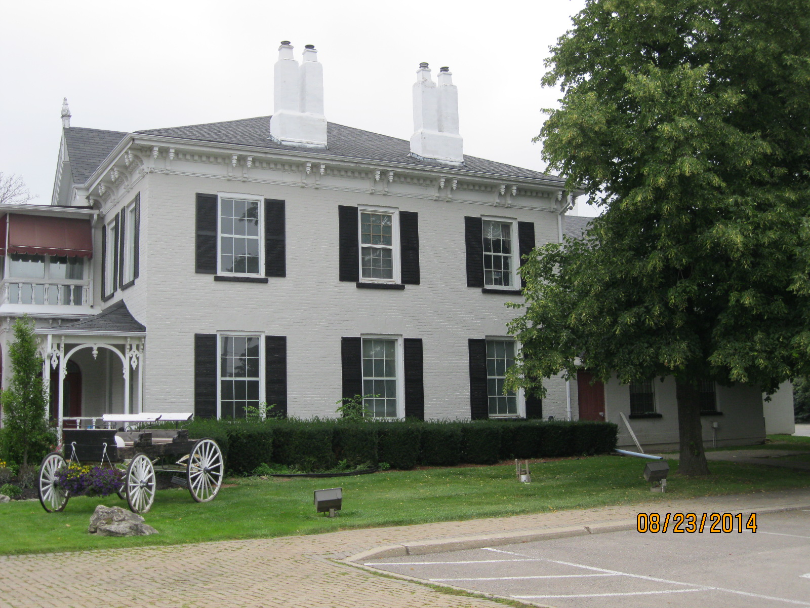
The house was used by the Leslie family for 100 years but eventually the surrounding farmland was taken over for industrial uses. On May 24, 1994 the house was moved from its original site to the Pinchin farm where it was restored. It now serves as home for the Streetsville Historical Society and houses their archives. The historical image below shows the home as it was being prepared for the move down Mississauga Road.

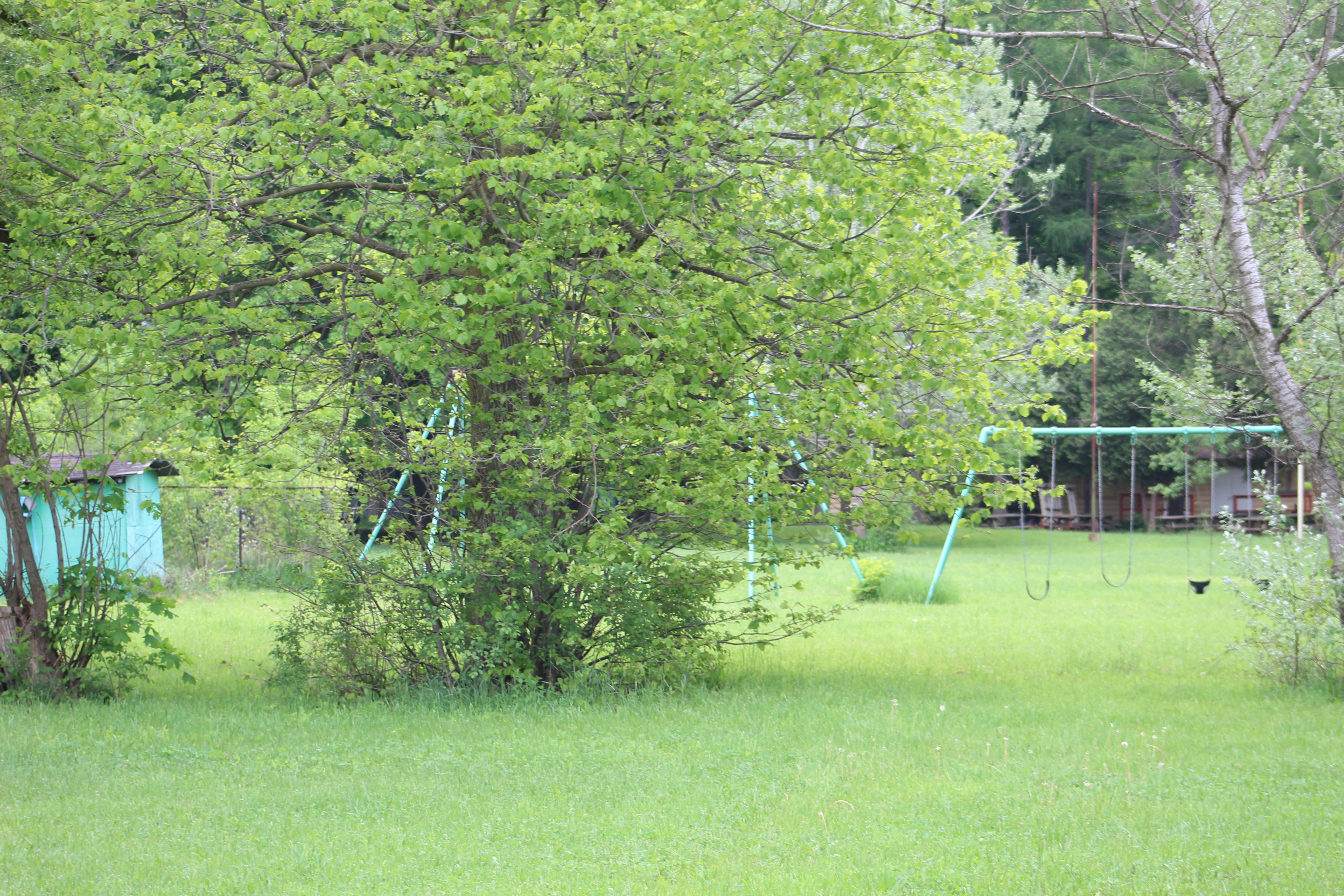
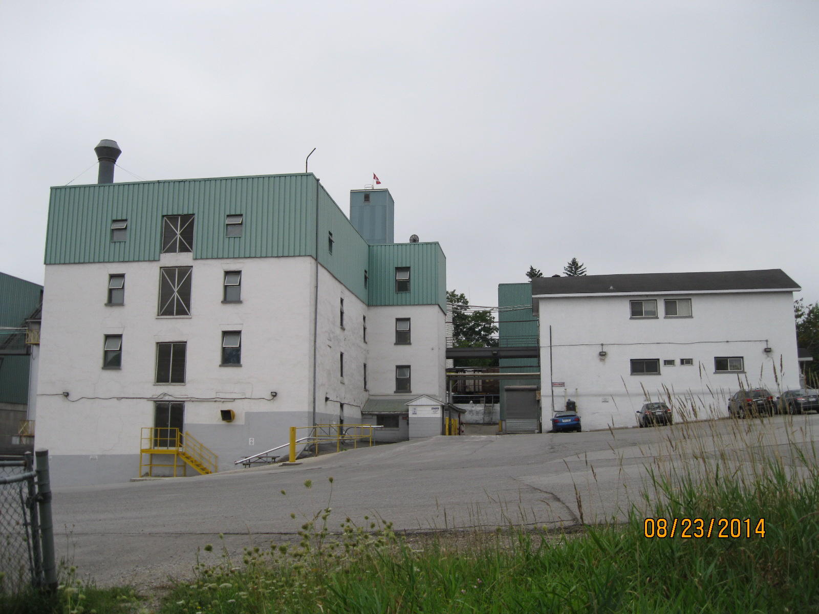
The property that the log house was moved to has a long history of ownership, beginning in 1832 when 300 acres were given to Thomas Silverthorn for his service in the War of 1812. He sold portions of it off and a 66 acre parcel was bought by Henry Rundle and his father-in-law in 1871. This changed hands several times and the farm was used for dairy farming. An orchard was planted in 1931 and 1934. A strawberry farming operation was conducted while the apple trees matured and eventually a turkey farm and pick-your-own apple orchard were managed on the property. The farm was closed in 2004 but foundations for the barn and some other out buildings remain on the property
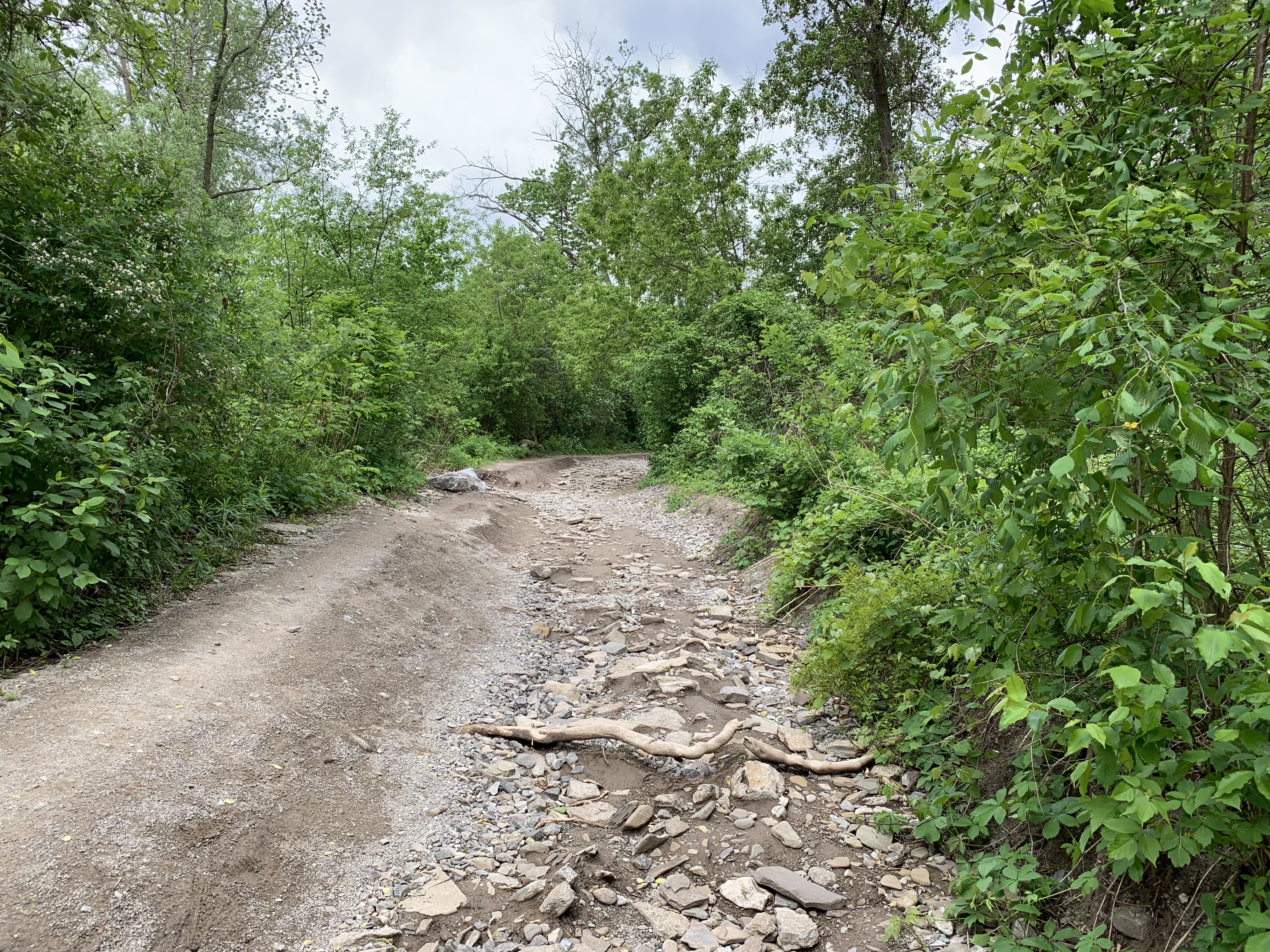
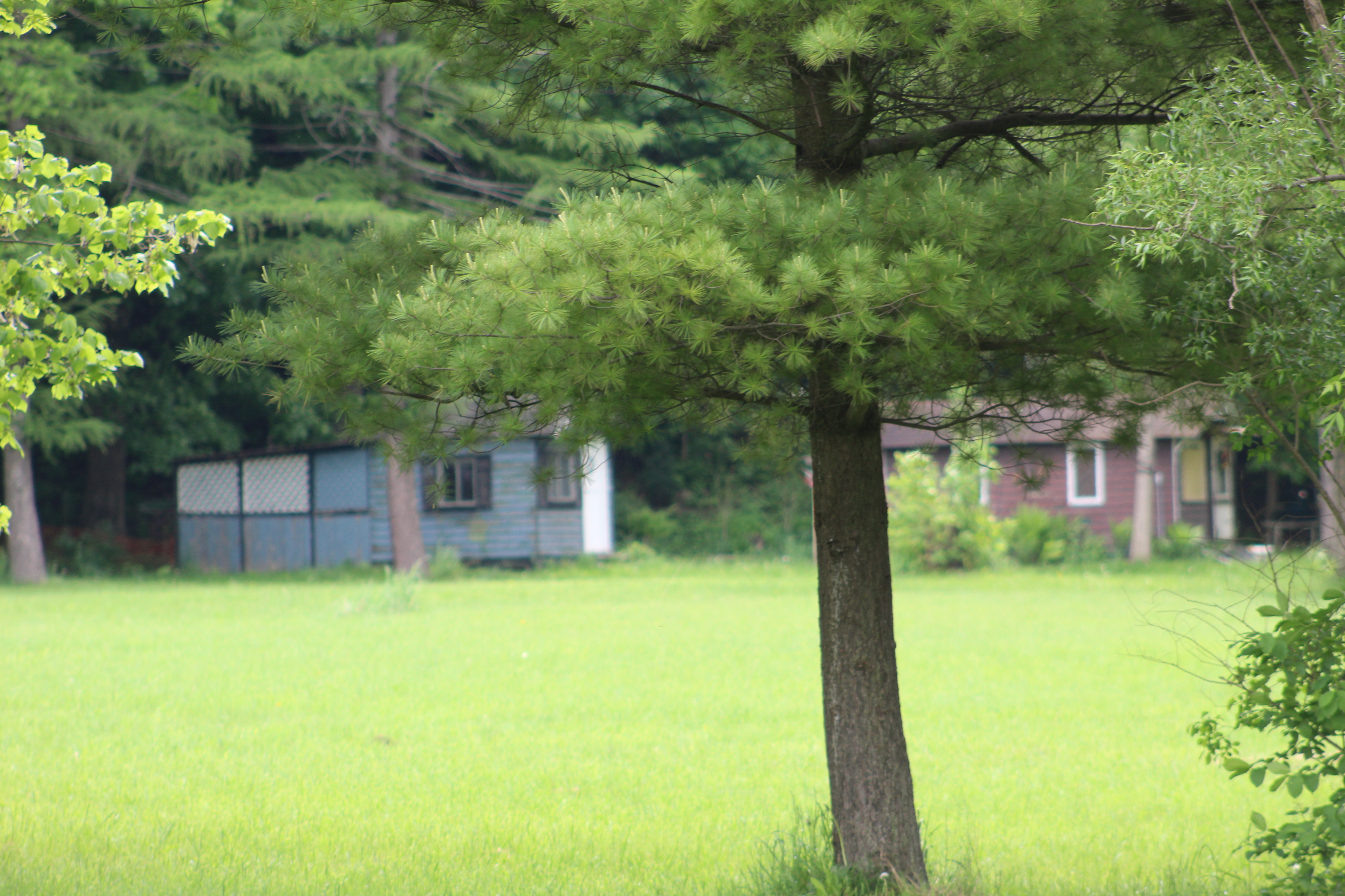
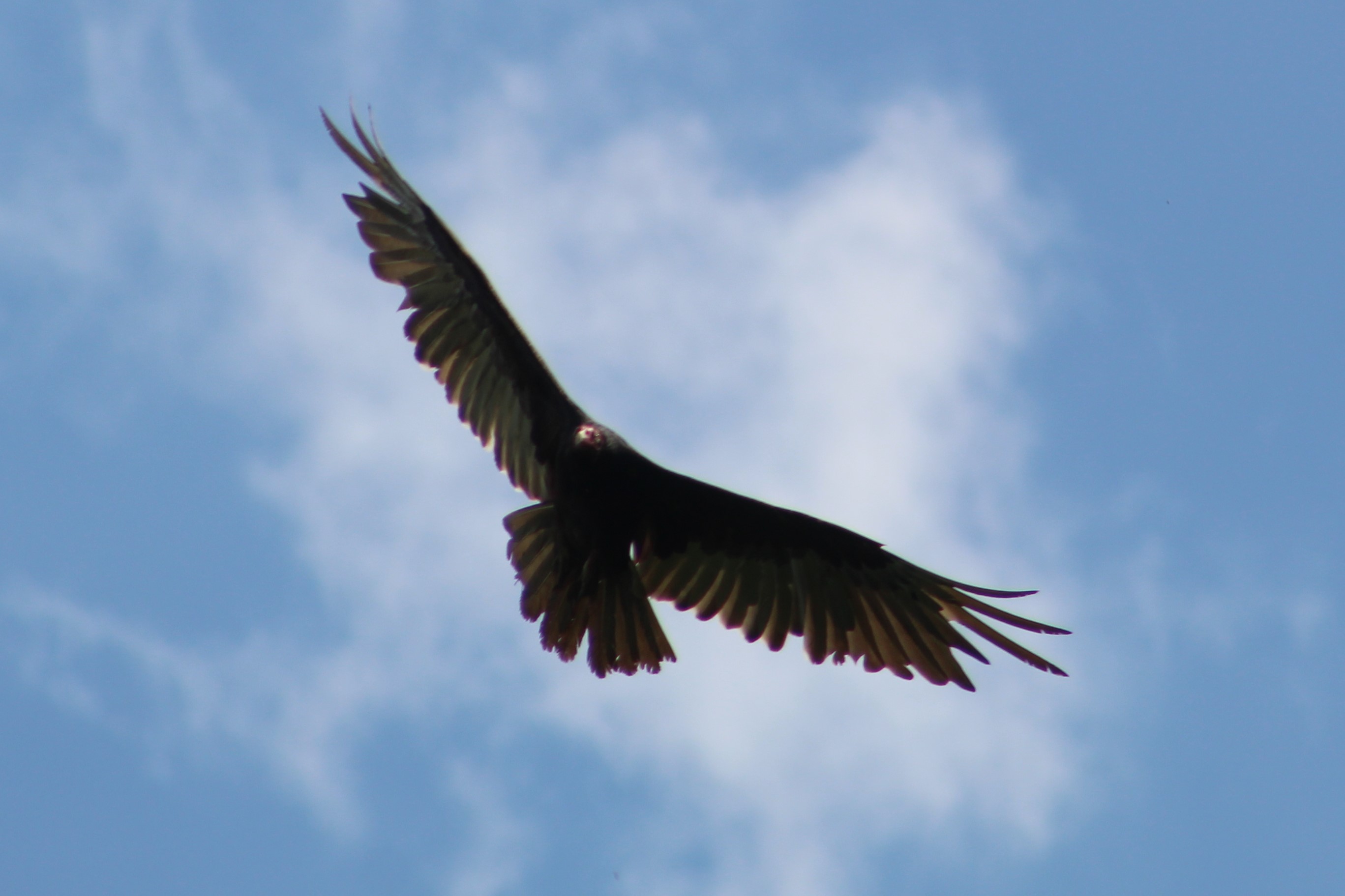
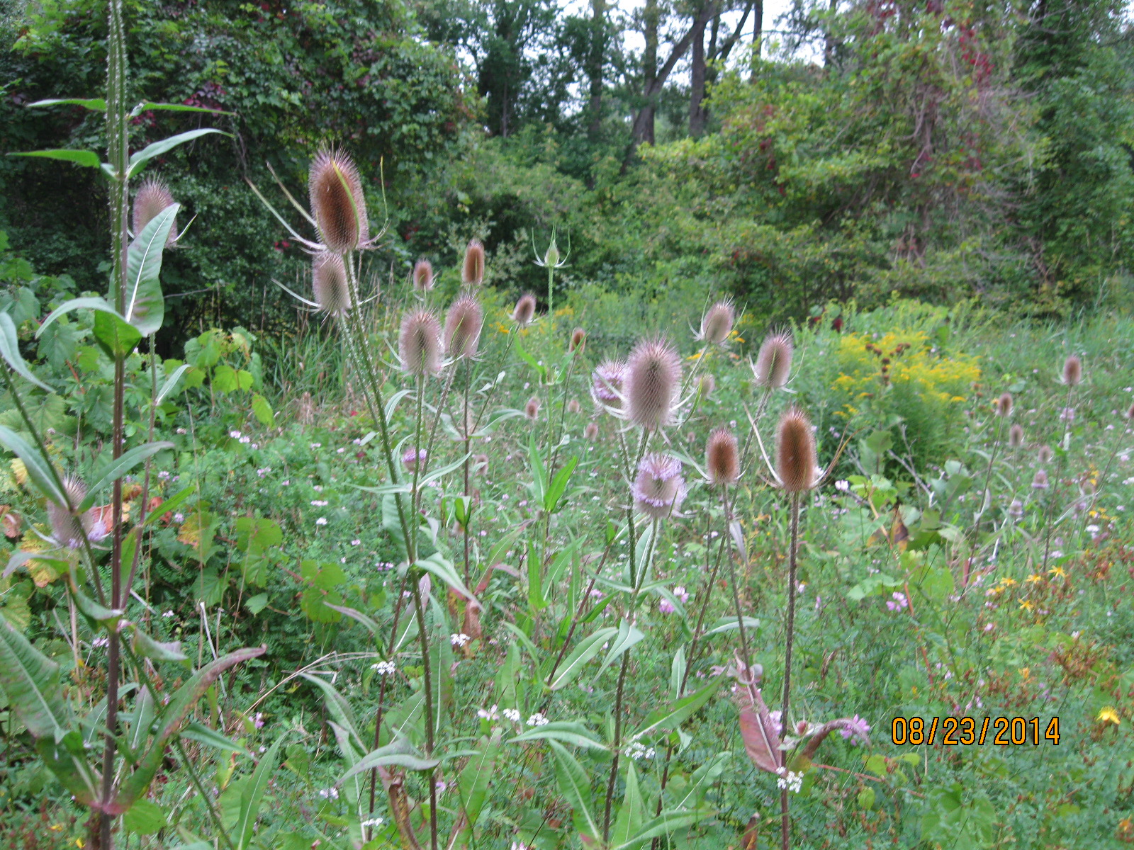
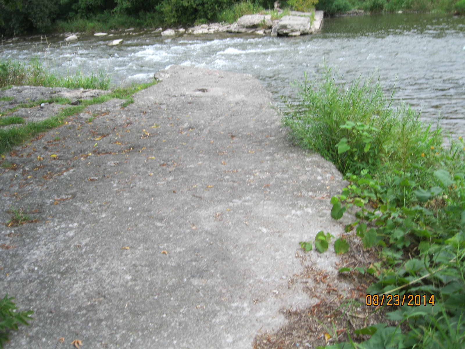
A trail leads from the Leslie Log House through the old Pinchin apple orchards where people could come in the fall to pick their own apples. This trail leads down to the Credit River and makes for a nice walk and also provides a passage for fishermen to reach the river. There were many deer tracks along the path but we weren’t fortunate enough to see one on our visit. In the fall, the deer love to visit the orchard to eat the apples that still grow on some of the trees.

The trees were starting to come into their leaves on this sunny day and the river was running clear. Beware that the grasses around the river are full of ticks and if you bring your dog for a walk you will need to carefully check both the dog and yourself to ensure that no ticks have hitched a ride on either of you.

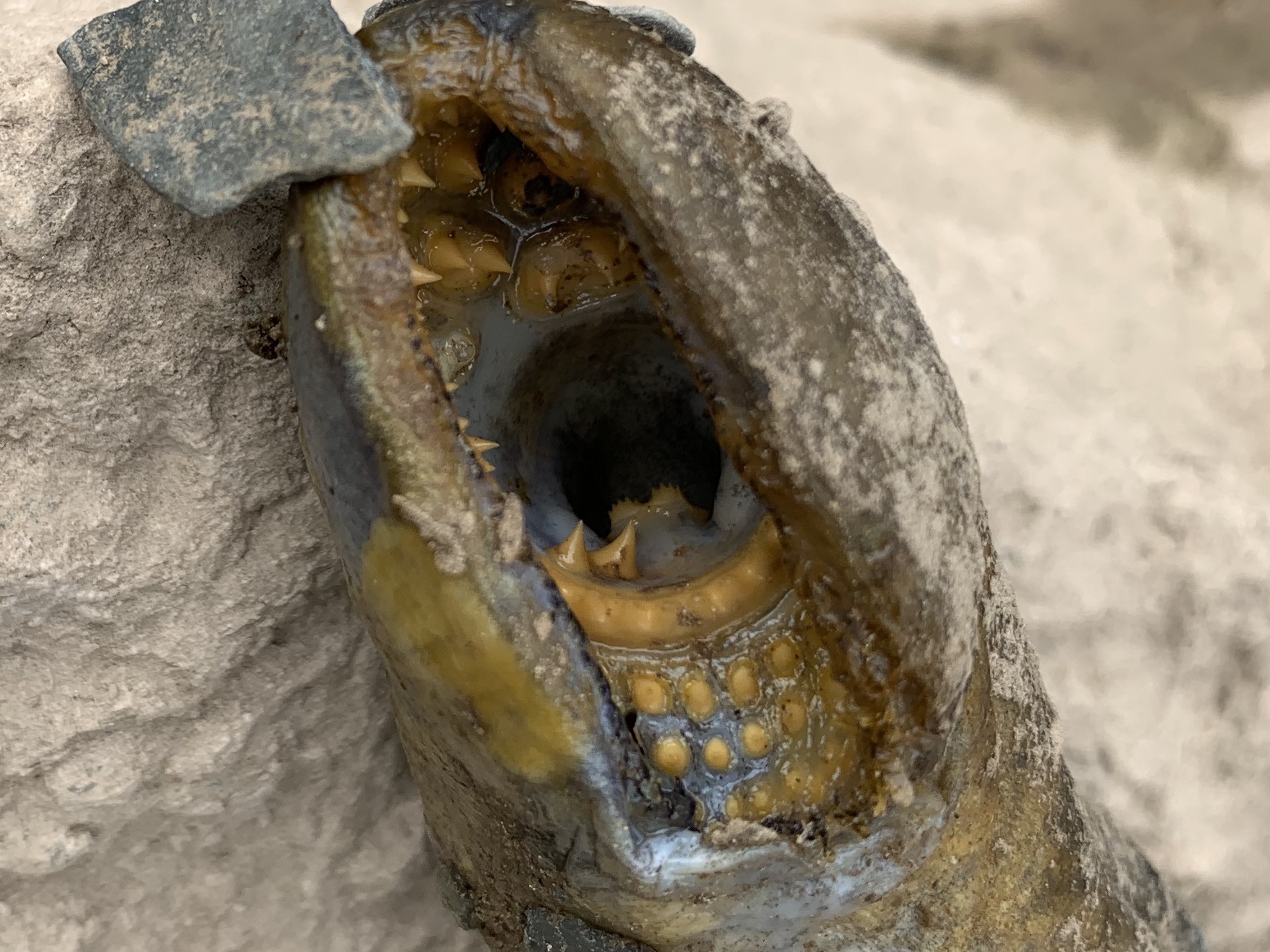
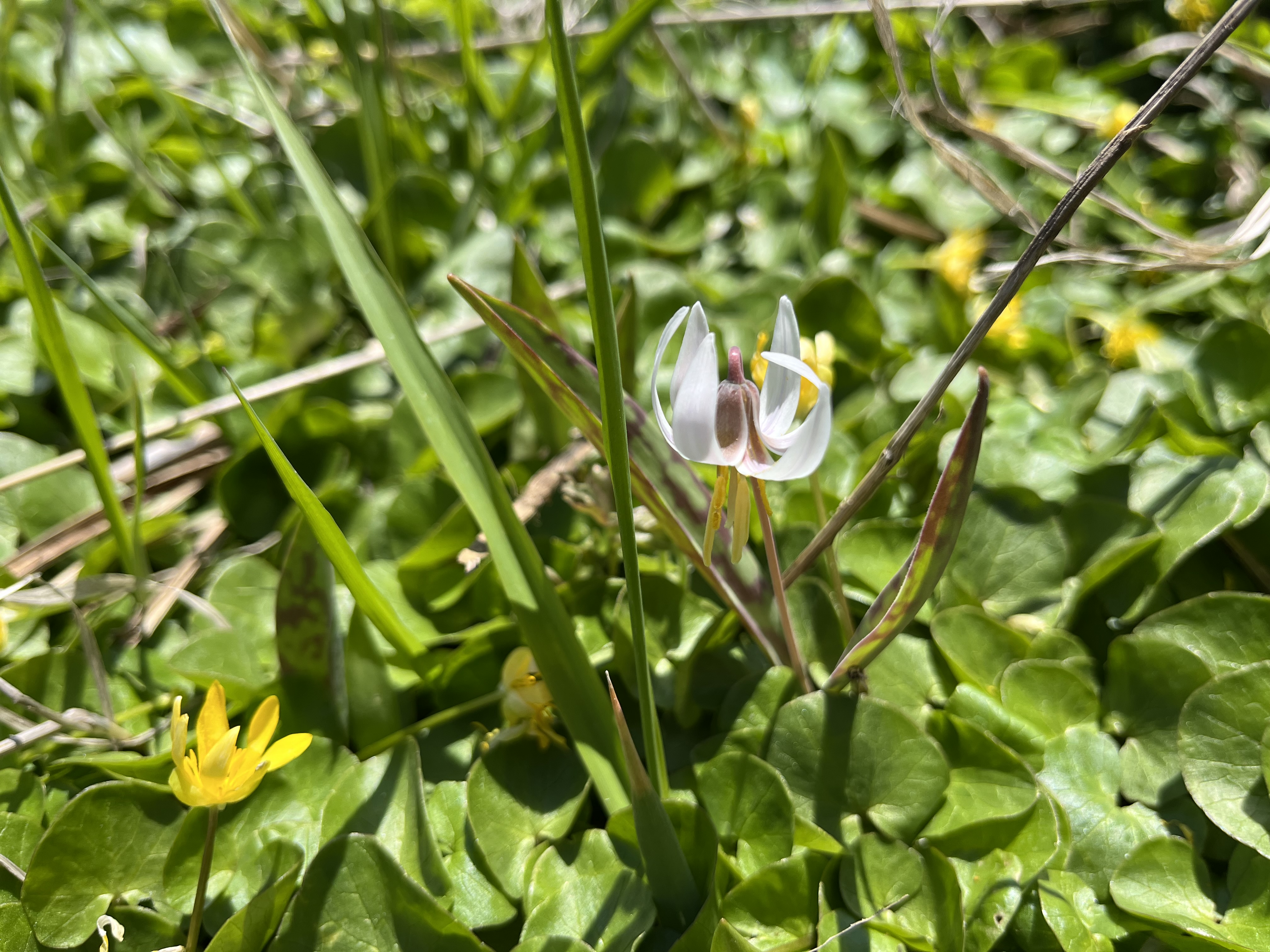
Yellow Trout Lily plants grow in abundance in the GTA but it is much less common to see the white variety. They prefer moist soil and we found this one growing among the marsh marigolds.
At one time log houses dotted the countryside but only a few of them have survived. The Leslie Log House is a great example of one.
Related stories: J. H. Pinchin Apple And Turkey Farm, Barbertown, Benares House
Google Maps link: Leslie Log House
Like us at http://www.facebook.com/hikingthegta
Follow us at http://www.hikingthegta.com
Also, look for us on Instagram