Tag Archives: Etobicoke Creek

The Auto Graveyard

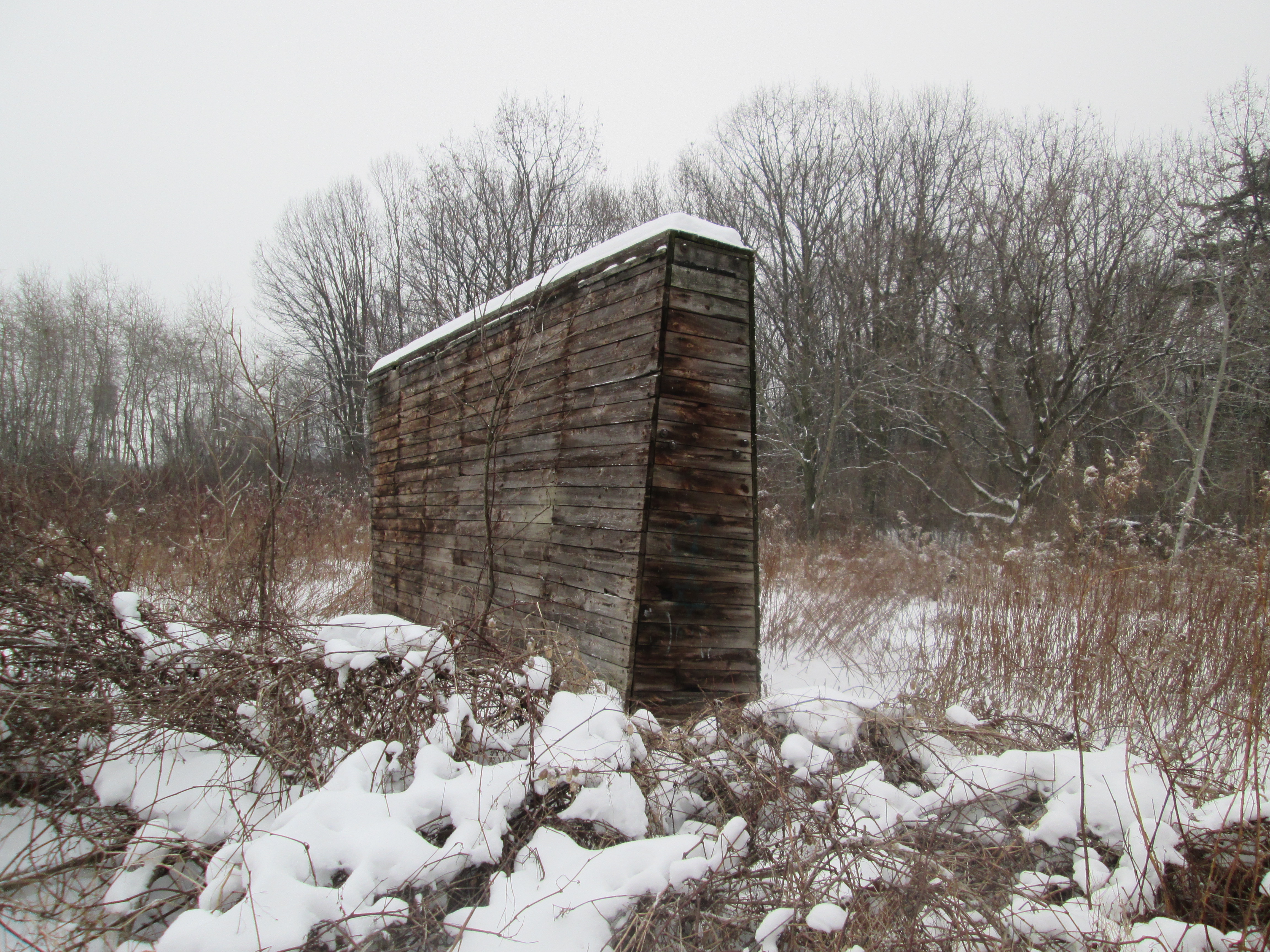
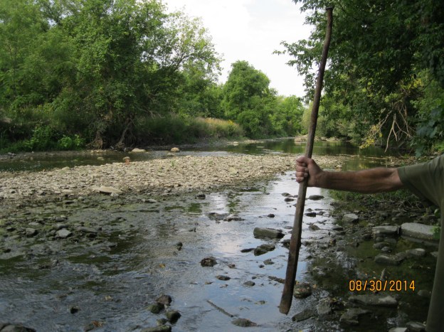
Sunday, May 21, 2019

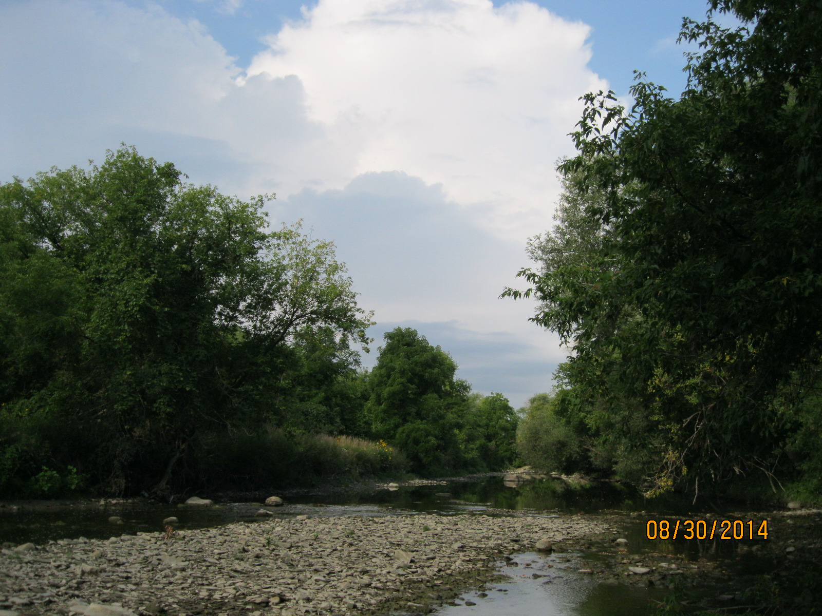
The short section of Etobicoke Creek Trail that runs between the 401 and Eglinton Avenue is home to at least four dead cars.  We had previously visited a Chevy Vega  that is in the woods to the side of the trail a little south of Sismet Road.  The story of this car is told in a previous post that will be linked at the end, should you wish to further explore. The pictures for this post were taken at the end of May so should you choose to visit you may find the foliage is a little thicker now.

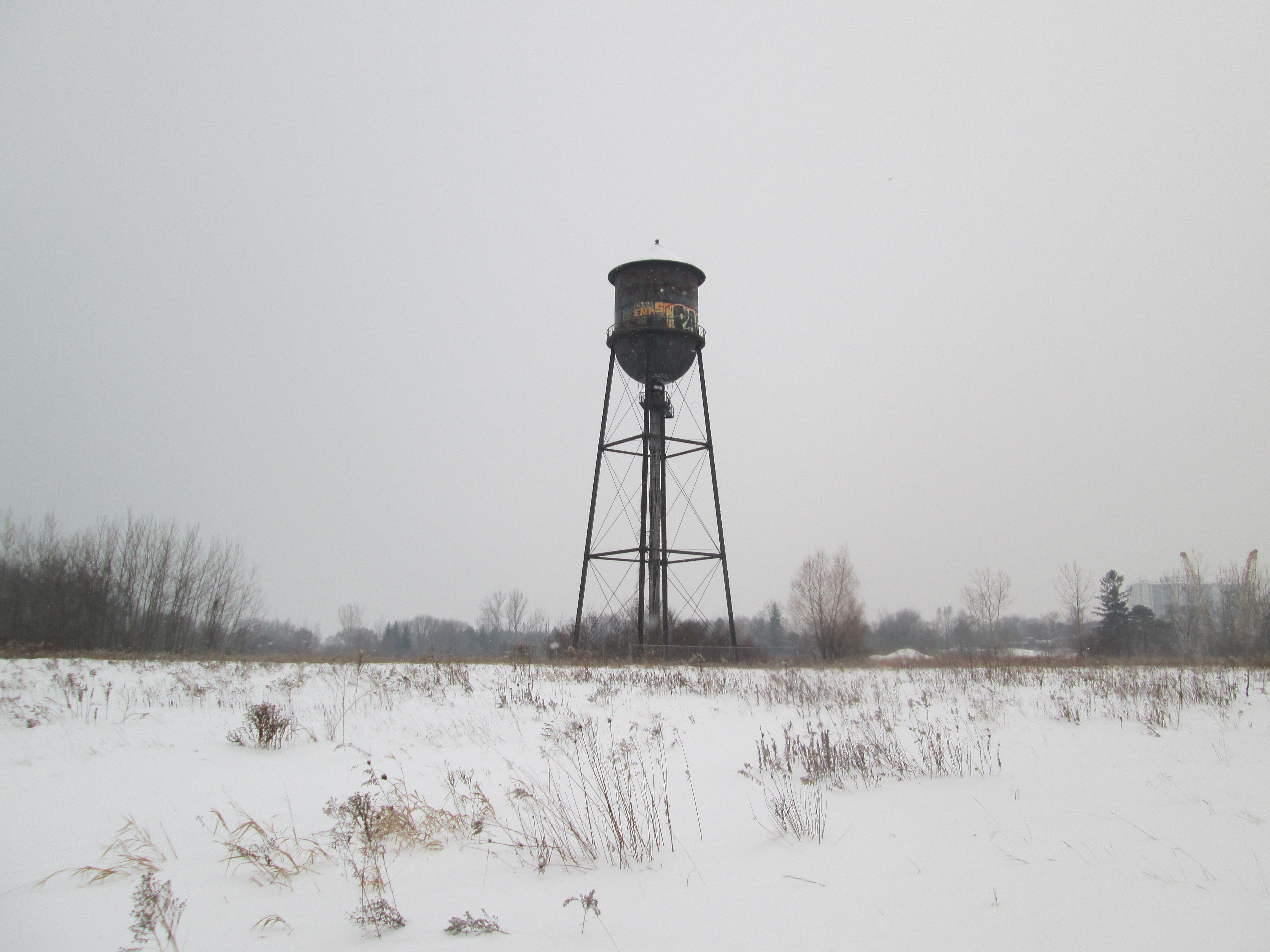
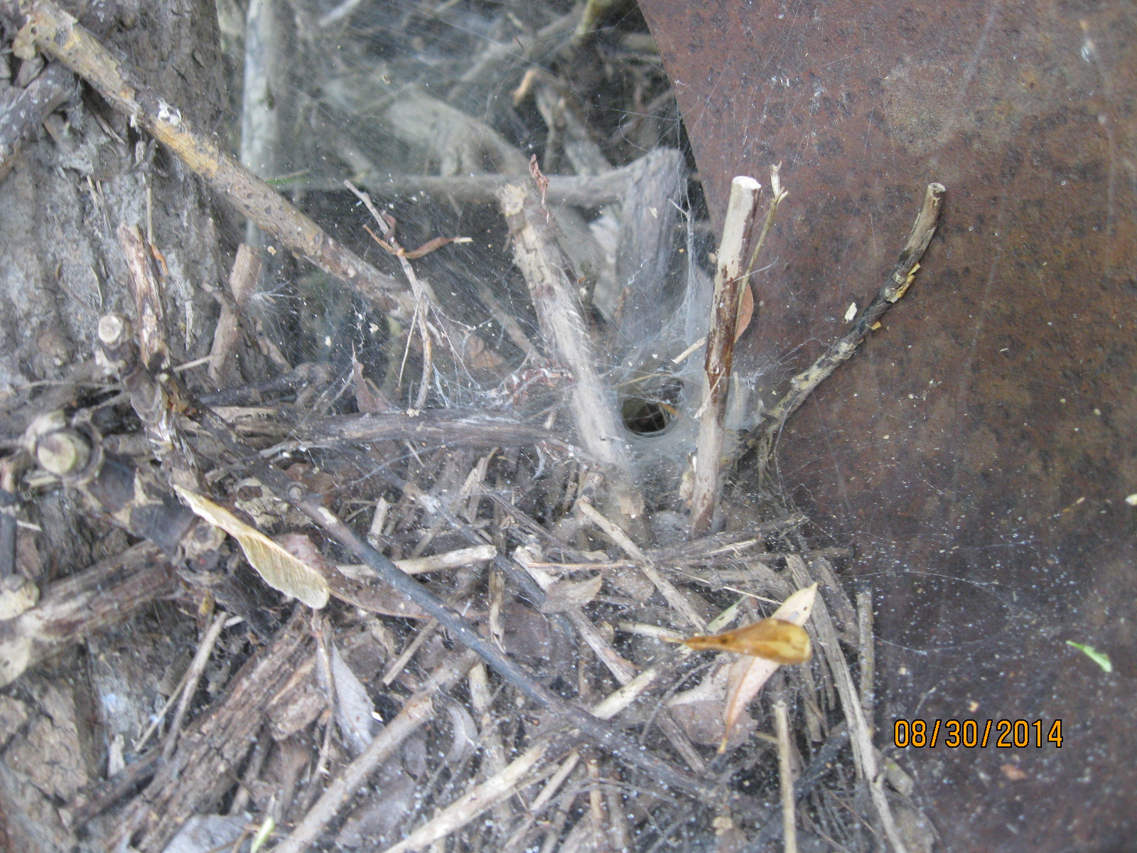
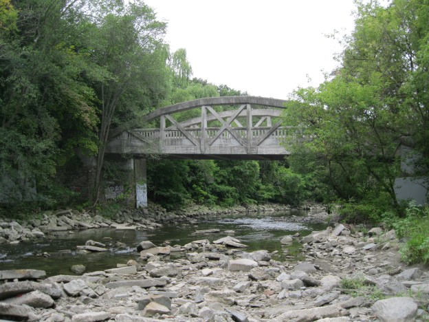
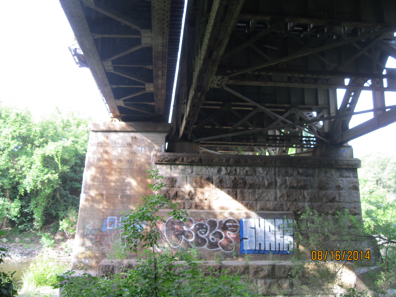
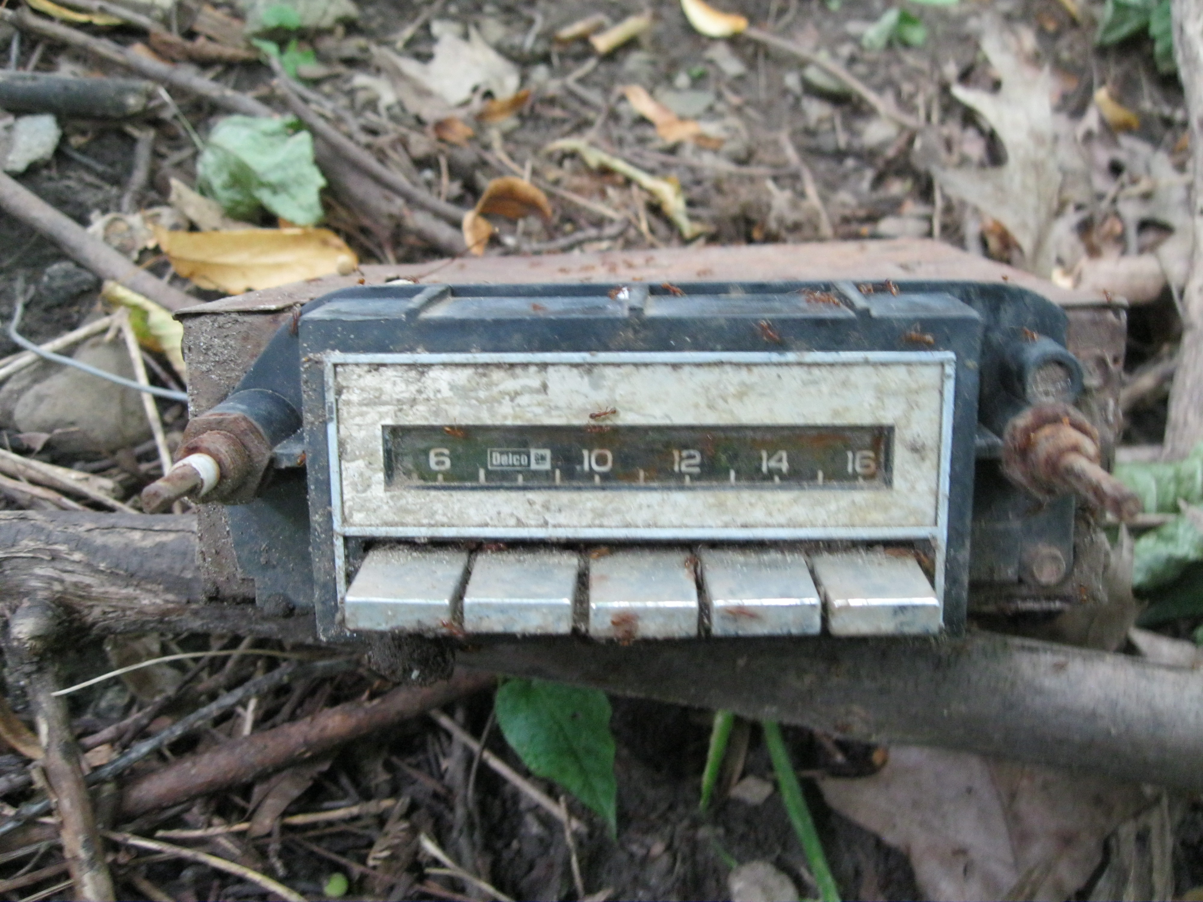
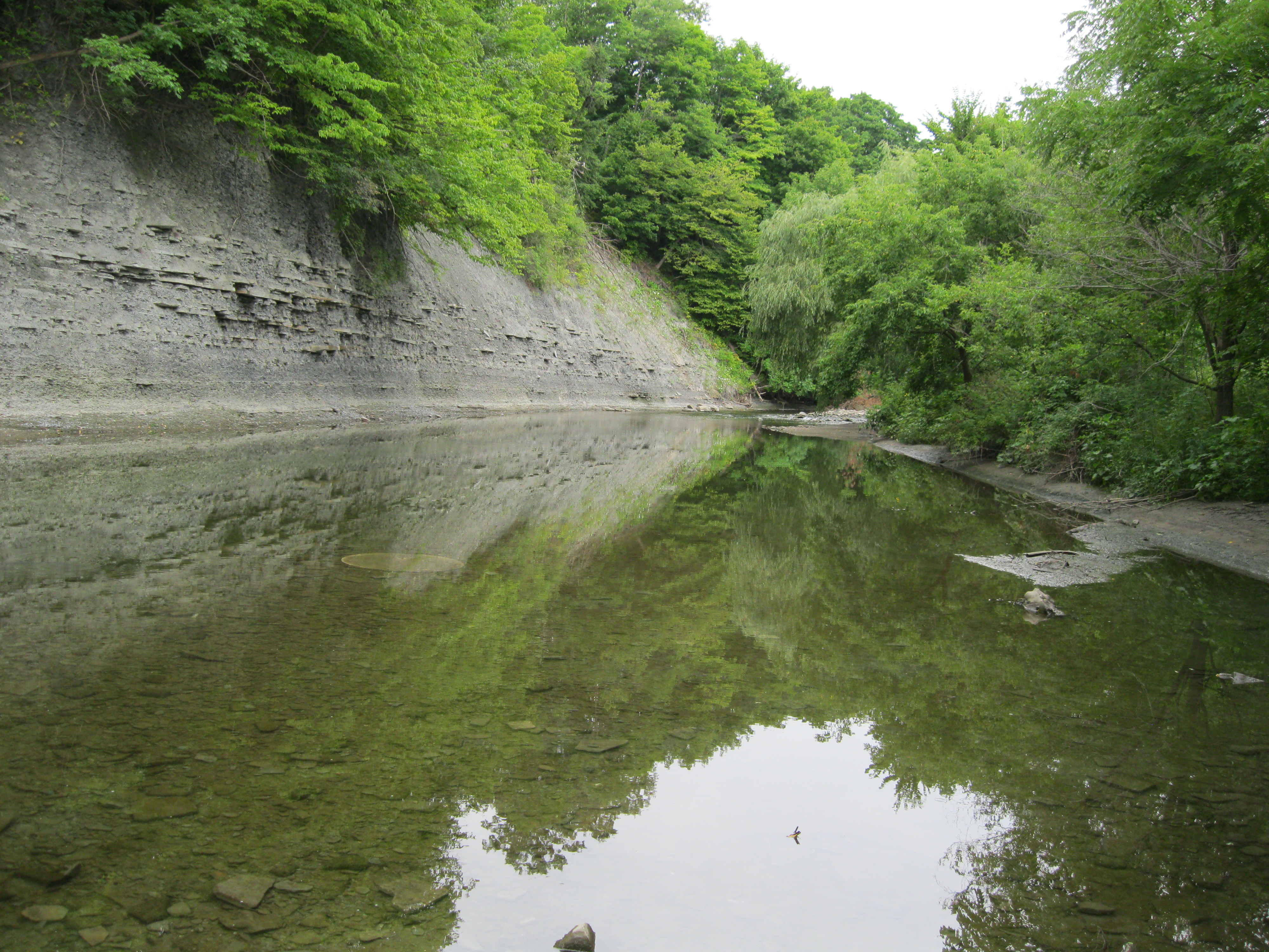
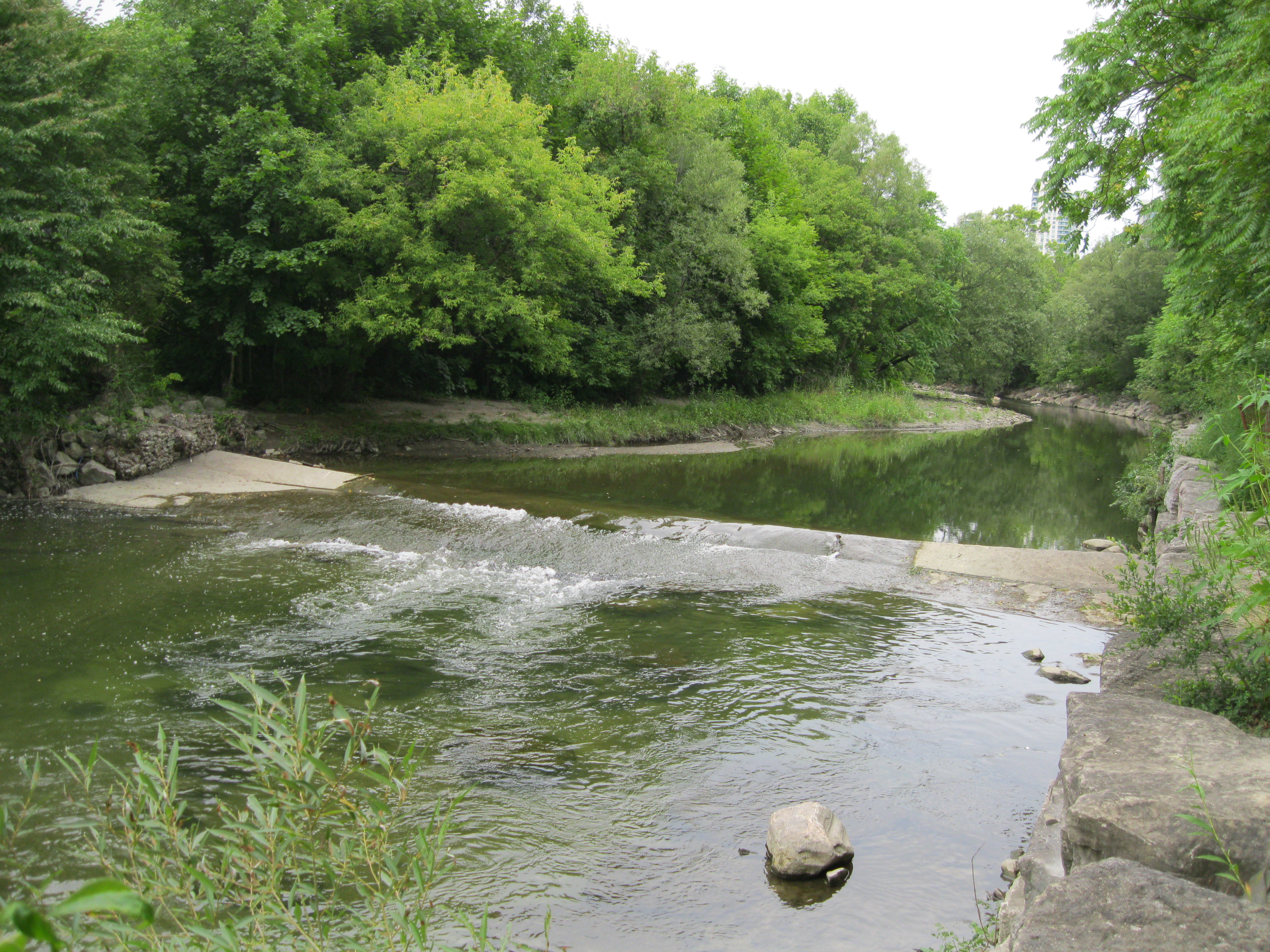
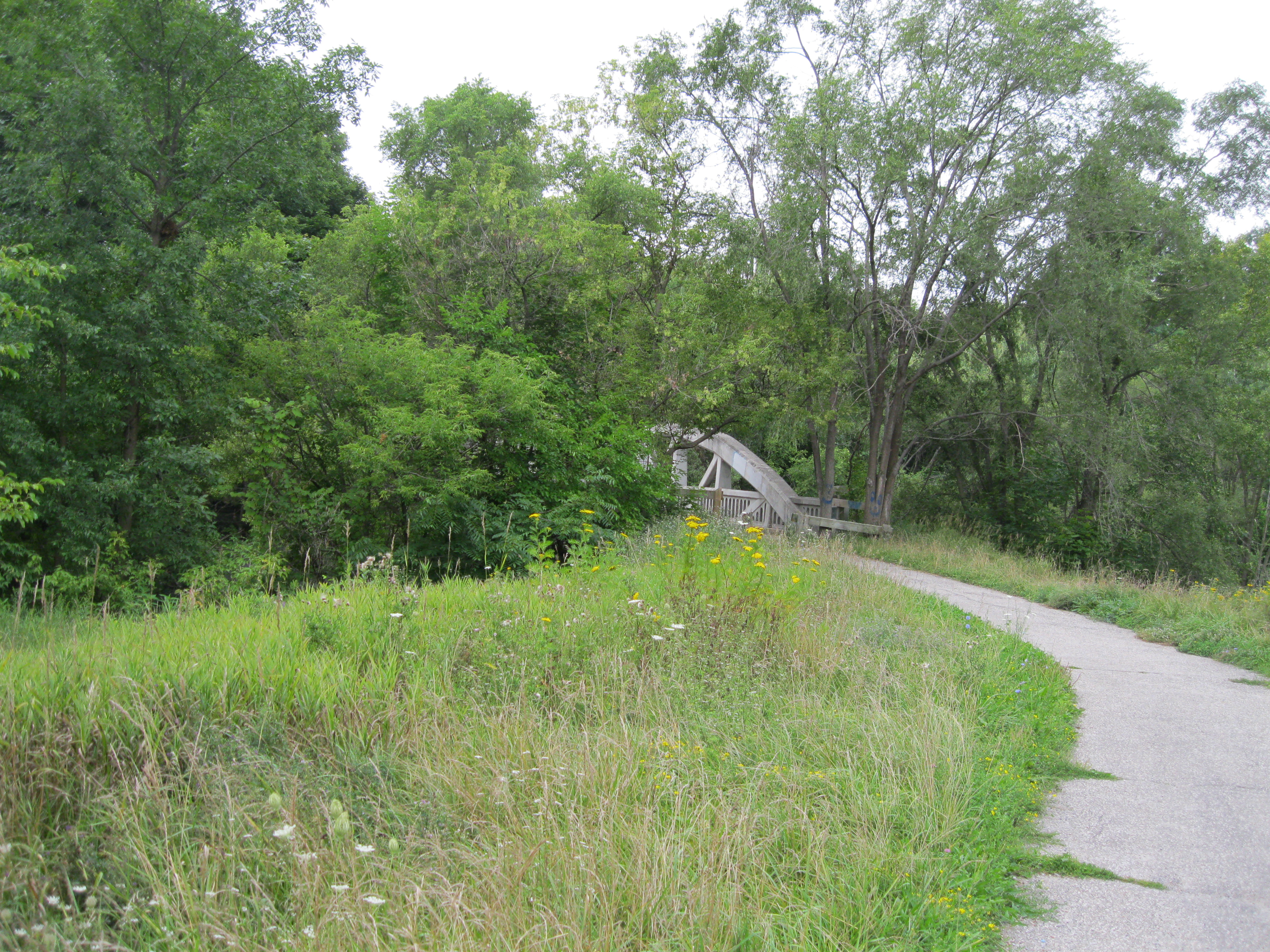
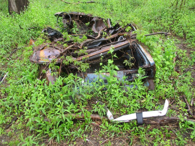
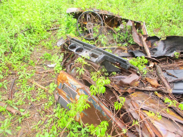
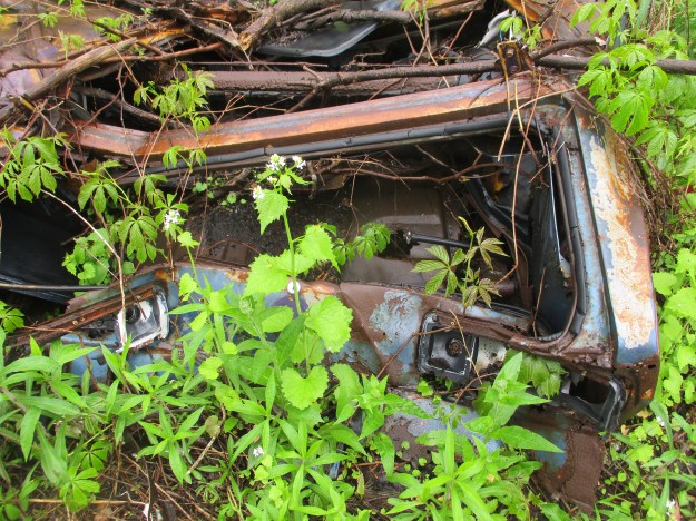
After you pass under Matheson Boulevard the trail will carry you across Etobicoke Creek and into the Toronto side of the park.  The Etobicoke Creek Trail doesn’t pass under the 401 at this time because of safety concerns during restoration of the highway bridges but if you get this far without seeing the old cars you have gone too far.  It appears that there are three cars in one little cluster, all of them in advanced decay.  The first one that we could identify is a 1973 Datsun 1200 coupe.  One of the key attributes that was used to make the identification was the pair of vents on the door panel.  Although the dashboard no longer has any gauges in it the layout is also clearly the same as seen in pictures of the Datsun 1200 Coupe.

IMG_3822

The car had an oblong cluster of three lights on each side of the rear for tail lights.  The innermost on the right has enough of the plastic left to show that it was the white section.

IMG_3829

The eight cylinder engine still contains some spark plugs but you’ll likely want to do a full tune-up anyway as part of any restoration.

IMG_3826

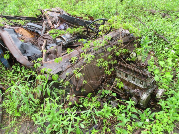
Like the cover photo, this picture shows the Datsun 1200 from the rear.  It’s going to take a little work to get this one back on the road.

IMG_3830

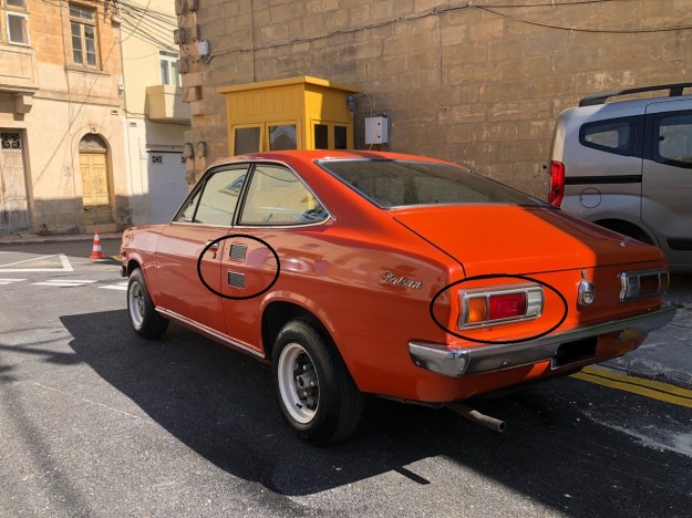
Here’s a picture of a new 1973 Datsun 1200.  Notice the vents on the door panel and the tail light configuration.

1973 Datsun 1200

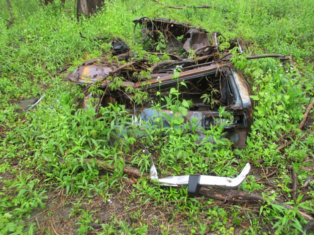
Car number two is a Chrysler and it too has seen some better days.

IMG_3841

There’s been a few parts removed from the engine but once you replace them you can set the firing order as per the sequence on the casting.

IMG_3837

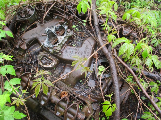
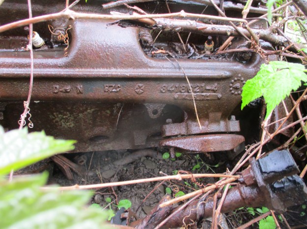
The code on the side of the exhaust manifold casting indicates that this is a Mopar 340 engine cast in 1971 or 1972.  Beside the part number is a date wheel indicating that the casting was done in October 1971 which means that this was likely installed in a 1972 model year vehicle.  This limits the model to one of five a Duster, Demon, Road Runner, Charger Super B or a ‘Cuda 340.

IMG_3842

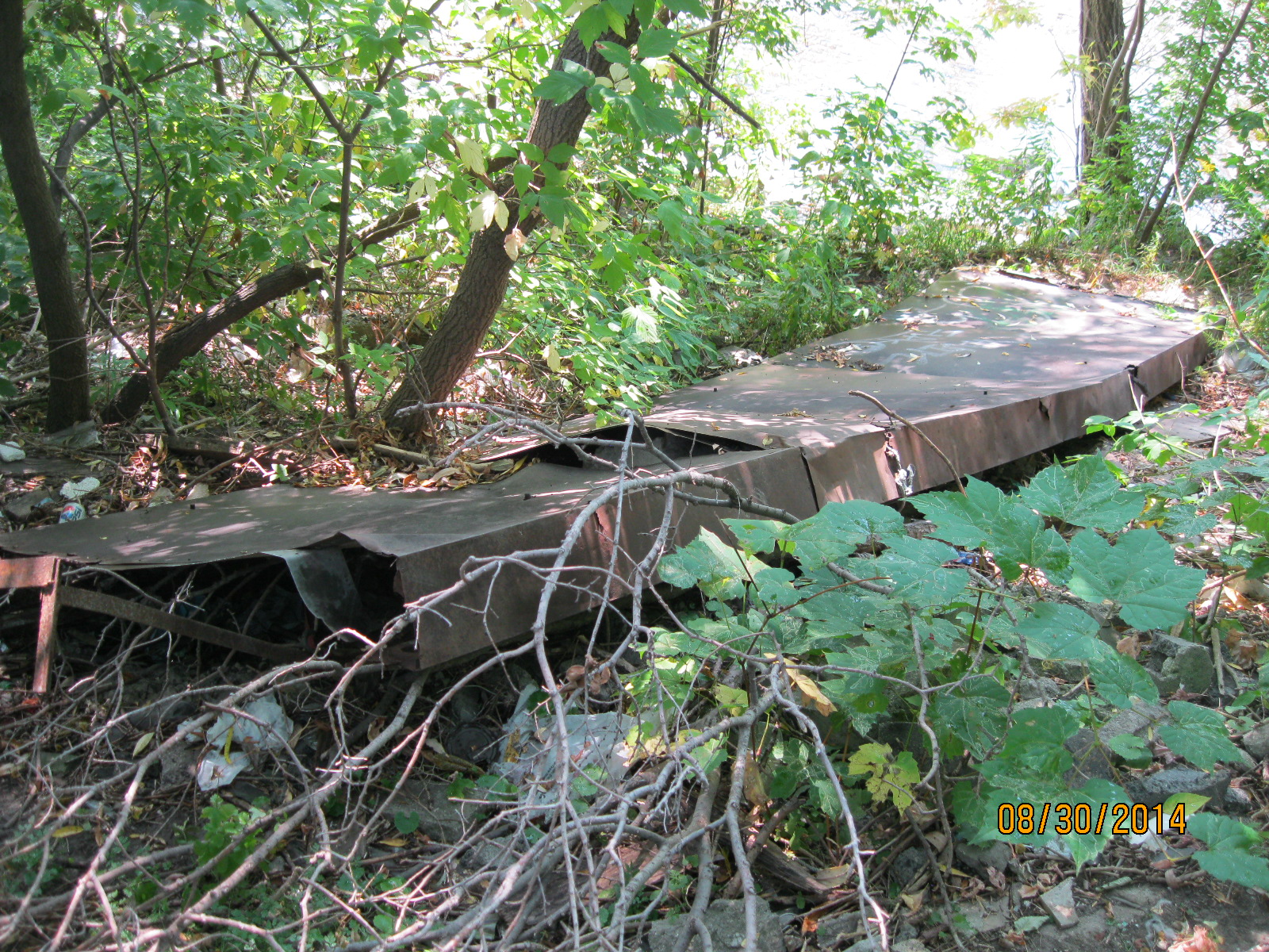
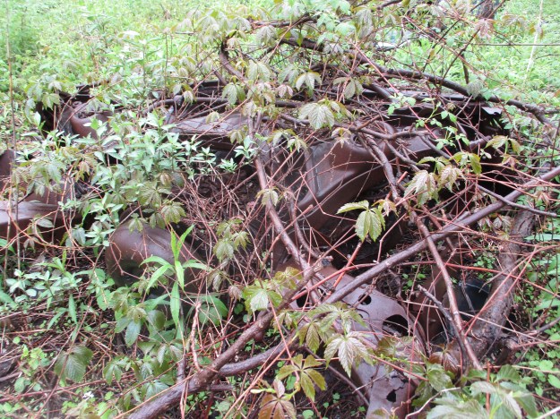
Car number three is a GM but we were unable to come up with much more information on this relic.


IMG_3853

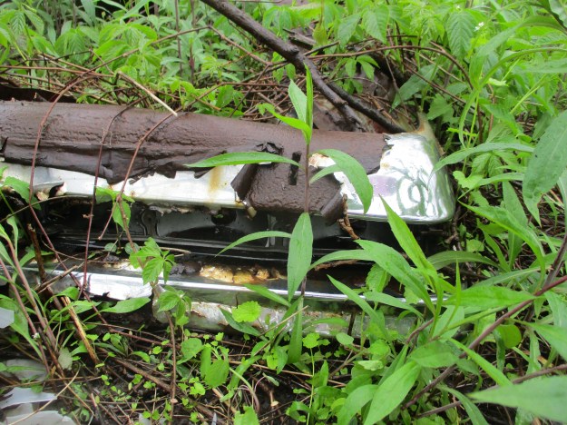
We can deduce that the model year was likely 1970 or earlier based on the bumper design.  The 5 MPH crash design was imposed in 1971.  This required that an impact at 5 MPH should not damage the lights and so they were removed from the bumpers and placed on the read panel of the car.  The bumpers were extended from the frame and much of the fancy tail light/bumper design was lost forever.  This rear bumper appears in two parts likely with an extended cluster of tail lights running between them.

IMG_3851

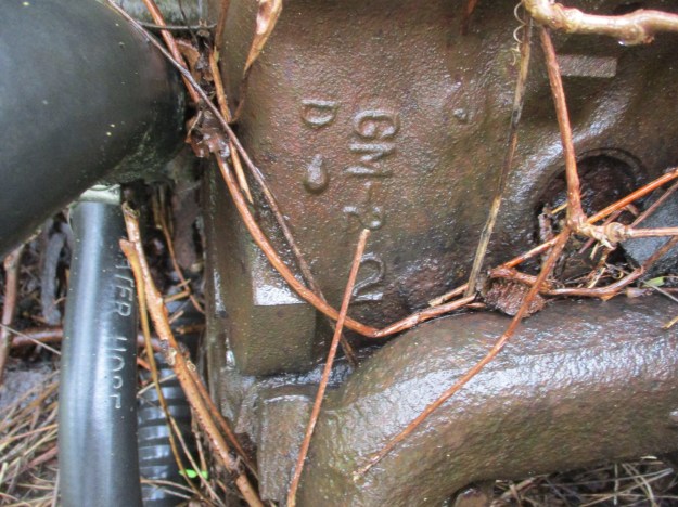
The side of the engine has the letters GM which at least tells us the brand of vehicle.

IMG_3855

A 1975 Chevy Vega sits in the woods a little farther south along the trail.  You can read more about it in our post Etobicoke Creek Trail.

img_2764

There appears to be plenty left to discover in future hikes along the Etobicoke Creek Trail.

Check out this link for our top 20 stories of all time: Back Tracks: Five Years Of Trails

Google Maps Link: Sismet Road

Like us at http://www.facebook.com/hikingthegta

Follow us at http://www.hikingthegta.com

The Arsenal Lands

Saturday Feb. 7, 2015

Along the Lakeshore stands an abandoned water tower, part of a WW2 small arms factory and rifle testing range.  Today we are 49 days into winter with only 42 remaining which to me means its almost over. The forecasters are calling for up to 30 cm of snow over the next couple of days.  Even so, this is the first hike of the winter where I’ve switched from hiking to winter boots.  It was minus 4 with almost no wind chill and a steady light snow. I parked in the parking lot for Marie Curtis Park on the west side of the Etobicoke Creek.

Col. Samuel Smith was granted lots 4-7 in 1806 and they remained in his family until they were sold to the Halliday’s in 1877.  They were used for mixed farming for the next few years. Following confederation in 1867 the British Government wanted the new country of Canada to assume greater responsibility for its own defense.  In 1868 the Ontario Rifle Association was formed for the training of militia.  They used the garrison common at Fort York until 1891 but the increase in the use of the CNE grounds and the addition of a passenger wharf at the foot of Dufferin Street made firing rifles at the fort increasingly unsafe.  The property on the west side of Etobicoke Creek was purchased as the Long Branch Rifle Ranges.  A militia and cadet training camp was maintained on the site until WWI when the Royal  Air Force administration offices were located here.  Canada’s first aerodrome was at Long Branch and over 130 students had graduated, at a cost of $400 each, by the time it closed in December 1916.  William Faulkner, the famous author, was stationed here while training for the Royal Canadian Air Force.

The most prominent structure remaining on the site today is the old water tower.  It was built in 1941 to serve the needs of the industry on the site.

IMG_2274

In 1935 the Department of National Defense purchased the property with the idea of creating an arms manufacturing site.  Small Arms Limited was founded as a crown corporation on August 7, 1940 to supply the Canadian Military with rifles for use in WWII.  The 1957 picture below shows the factory and several out buildings.  The large building with the lines on the top is shaped like an “L” with the black circle in the inner corner of the “L” being the water tower. The rifle range building is in the lower left and the first several baffles can be seen below it.

arsenal 3

Women played a major role in the workforce at Small Arms Limited as can be seen in the cover photo making up most of the staff by 1943.  The factory produced its first weapons in June 1941 and by the end of the year had made 7,589.  By 1943 the plant was working three shifts, using 5,500 employees to produce over 30,000 units per month.  World War Two ended in 1945 and war-time production was completed in December with over 900,000 rifles and 126,00 machine guns having been produced.  Various military parts were produced in the facility from then until it closed in 1974. At the foot of the water tower stand two yellow gas regulators that were installed at the time the Small Arms company was founded.  They are dated 1940.

IMG_2280

In 1910 Canada’s Department of Militia and Defense (renamed the Department of National Defense in 1922) acquired the property and built the wooden baffles that remain in place today. The DND built firing booths in 1940 to assist with the training of militiamen for service in WWII. The rows of baffles and concrete backstop can be seen in the centre of the 1957 aerial picture below.

arsenal 4

On the short rifle range there are 16 remaining baffles after 105 years exposed to the elements. Originally there were 30 of these which were hollow and filled with sand and soil.  They were intended to stop any stray bullets from leaving the range but also served to provide sound barriers for the adjacent small arms factory.  The picture below shows one of the few that is intact and not over grown with brush.  These wooden baffles are the last of their kind from this era in Ontario and are considered a militarily significant heritage site.

IMG_2300

At the back end of the rifle range is a fifteen foot high and thirty-five foot wide concrete backstop which was constructed around 1925.  It’s surface is dotted with the impacts of hundreds of bullets from over the years.

IMG_2302

The only manufacturing building remaining on site is building number 12.  Dating to 1939, it was used as the rifle inspection facility.  It has a double fence, each with three strands of barbed wire surrounding it.  I guess they don’t want you to go in there.

IMG_2313

The various uses of the site over the years has taken the farm land and left it with a mix of PBC’s, VOC’s, metals and radioactive waste.  Over 72,000 tonnes of contaminated soil was removed from the site between 1998 and 2002.  The consolidation mound pictured here contains low level radioactive soil that has been buried in a containment facility since 2005.  It sits inside a third barbed wire fence behind the inspection building.  I guess they really don’t want you to go in there.

IMG_2311

Circling back through the Small Arms Ltd property I noticed that someone left the door open at the top of the water tower.  Anyone want to climb up that ladder on the roof and close it?

IMG_2317

Making my way across the Lakeshore Road edge of the arsenal lands I came to Etobicoke Creek. The trail along the creek’s edge brings you to a bridge that crosses the creek to the east side. Following the disaster of Hurricane Hazel in 1954 when the creek flooded destroying the homes along 43rd street (see Middle Road Bridge) this area was taken under authority of the conservation authority and Marie Curtis Park was created.  I walked that side of the creek to where it spills into the lake.  The ice on the railing at the edge of the lake is several inches thick and, to me, resembles baleen plates like those in the mouth of a baleen whale.

IMG_2331

Bufflehead ducks suddenly disappear when they are feeding and can pop back up several metres from where they dove.  They are distinct with their white and black markings and spend the winter in sheltered bays and inlets.  I watched a few of them right in the mouth of the creek.

IMG_2346

There are likely artifacts located here that will only be visible when the snow is melted.  I guess we’ll have to see sometime.

Like us at http://www.facebook.com/hikingthegta

Summerville

Saturday August 30, 2014

It was partly sunny with humidity making it feel several degrees warmer than the 21 degrees on the thermometer.  We parked off of Nelson street and followed a little path to the edge of the creek.  From there we went south on the east side of Etobicoke Creek.  We very quickly saw two Great Blue Herons flying upstream followed shortly by a Belted Kingfisher.  A minute later one heron flew back downstream with the kingfisher scolding him all the way.  Having chased the heron out of his personal fishing hole, the kingfisher chattered final warnings as it flew back upstream.  Although we followed the heron downstream he was spooked enough that we never got a good picture of him.

Grass Spiders, also known as Funnel Weavers, weave a large web with a funnel shaped hole near one side where they sit and wait for prey.  The web isn’t sticky but the spider makes up for this with it’s lightning speed.  When I opened the back door of my car I found a large mess of spider web running from the door to the head rest on the back seat. One of these grass spiders, about an inch across, was trying to hide along the door seal. Living in my car and walking up my neck while I am driving is not an option but she jumped to the ground and ran away fast enough to avoid becoming a sticky mess on my shoe.

IMG_3116

There is still plenty of evidence of last year’s July flooding along most of Toronto’s ravines. Rows of sticks and other debris has been packed into plants and trees high above the normal water level.  In one of these places we found an old tractor tire in which a grass spider has built it’s nest.  The round hole near the centre of the picture is opening of the funnel which is the spider’s home.

IMG_3152

In the 1820’s John Silverthorn  built a saw mill and a grist mill north of Dundas Street on the Etobicoke Creek.  John also built a road through his property from Burnhamthorpe Road  to Dundas Street to help people bring their goods to his two mills.  This road still exists today as Mill Road north of the Etobicoke Creek.  South of the creek a clever city planner named it Southcreek Road.  The mill was at the crossing of the river but is now off limits to hikers as it is on property owned by the Markland Wood Golf Club.   A community grew up around the mills and by the 1850’s it had a population of around 100 with two blacksmiths, the grist and saw mills, a chair factory and, naturally, two taverns.  It took the name Summerville in 1851 when the post office opened.

John’s brother, Joseph, built Cherry Hill House in 1822 and it is said to be the oldest house in Mississauga.  As seen in the 1972 photo below, the house was allowed to fall into ruin. It was restored in 1979 and moved to it’s current location on the corner of Silvercreek Blvd and Lolita Gardens where it now serves as a restaurant.

Cherry Hill House  1972


SAMSUNG

A Spud Bar is a cylindrical steel tool which is typically 5 to 6 feet long and weighs up to 15 lbs.  They usually have a chisel point on one end and a tamper two to three inches in diameter on the other end.  In north America they are also known as millwright bars reflecting one of their primary uses.  Early millwrights built water powered mills like the saw and grist mills of john Silverthorn.  The millwright bar in the picture below, and in the cover photo, was found quite close to the location of the Silverthorn mills.

IMG_3122

Not much to say here other than this is included as one of the strangest findings of all time.

IMG_3129

We could see a thunderstorm coming our way and we made it to the bridge on Dundas before it arrived.  The storm only lasted for a few minutes and the rain evaporated quickly, increasing the humidity and making the hiking a little stickier.

IMG_3128

Along the side of the embankment was a long section of old bridge siding.  Hurricane Hazel took out over 50 bridges and it is quite likely that this is part of one of them.

IMG_3156

“A Mari Usque Ad Mare”, From Sea to Sea.  These words adorn the Canadian Coat of Arms. Just below the words Mari and Mare appear two purple thistles.  These are Canadian Thistles and have appeared on our Coat of Arms since 1921.  In-spite of the name, it is not actually native to Canada and is classified as a noxious weed here.  Other names include Lettuce From Hell and Cursed Thistle.  In spite of it’s status as an unwanted intruder it hangs on the walls of our government buildings, graces the 50 cent coin and shows up wherever the Coat of Arms is displayed.

IMG_3158

Apples, pears, cherries, peaches and roses are all related, being members of the “Rosa” family.  They all produce a type of fruit where the flower was.  The rose plant grows a fruit which is called a Rose Hip.  These are used for a wide variety of things including herbal teas, jams and jellies, pies and wine.  Rose hips contain 50% more vitamin C than oranges do and are one of the best natural sources.  They are also known to help prevent cancer and improve cardiovascular function.  Don’t just stop and smell the roses, take some time to eat them too!

IMG_3167

Barney and Friends debuted in April 1992.  The purple singing T-Rex was the star of 248 children’s tv shows until PBS cancelled the show on Sept. 18, 2009.  Listed by TV Guide as one the top 50 worst tv shows of all time it is rumored that no one has seen Barney since. Perhaps not until now….

IMG_3173

Middle Road Bridge

Saturday August 16, 2014

It was 15 degrees and perfect for a hike.  We parked on 43rd street beside the Etobicoke creek.  43rd Street is only a short stub north of Lakeshore today.  In 1954 it extended to the lake and, along with Island rd., contained houses on both sides of the creek near the lake.  A trailer park existed at the time on the west bank of the river between Lakeshore Road and the railroad tracks.  Seven people were killed and numerous houses washed into lake in October 1954 when hurricane Hazel hit Toronto.

Visible from Lakeshore are a triple set of tracks, now used by GO Transit as well as many CN freight trains.  When the Grand Trunk Railroad (GT) was built in the 1850’s it was two tracks wide.  The bridge in the photo below was built in 1856.  When the GT was incorporated into the Canadian National (CN) in 1923 a third track was added.  In the photo below the older track is sitting on the large cut stone blocks while the newer addition on the left is constructed on poured concrete which had become popular around 1900.

IMG_2913

Coca Cola was invented in 1886 in Atlanta by a pharmacist, Dr. John Pemberton. Originally it was sold as a syrup that was mixed in the pharmacy and sold at the counter by the glass.  in 1915 the distinctive “hobble-skirt” bottle was created.  Selling for 5 cents it contained a 6 oz serving.  Pepsi was created in 1893 and stole a share of the market by selling 12 oz bottles also for 5 cents.  The coke bottle below was made in 1959.

IMG_3011

A brickyard was opened in Port Credit in 1891 on the west side of the Credit River.  The business expanded and soon a scarcity of labour resulted in the use of immigrants to work in the brick yard.  Bunk houses were built to provide homes for the workers.  By the 1920’s the business was operating at a loss and it was closed down.  That means that the brick in the picture below is likely over 100 years old.

IMG_2916

The brick yards as they looked in 1907.

Brickyards

When hiking in the woods in August it is necessary to carry a small stick in front of your face to keep from eating spider webs.  The Cross Orbweaver is one of the more common ones, although it is not native to North America.  Females wrap their eggs in a protective sac of silk.  There are between 100 and 800 eggs in a single egg sac.  We found an egg sac that had just hatched.  The picture below shows a “daddy-long-legs” spider which has been captured and left for food for the little babies.  Note the tiny dots below the egg sac which are the emerging young.

IMG_2944

Just north of the tracks is the first old dam on the creek.  This dam has retaining walls which extend all the way to the edge of the ravine on both sides of the creek.  This is a good example of an old dam as you can clearly see the slots in the river bottom to hold the boards that would retain the water for the mill pond.

IMG_2926

Delco radios are standard on GM products.  In the 1960’s it was common to have only an AM radio in your new vehicle.  FM radio, CD players and MP3 inputs were all many years in the future.  We found an old AM radio with 5 preset channel function.  Having 5 preset stations was a luxury at the time as you didn’t have to try to tune the dial while driving (let alone dial your cell phone).

IMG_2958

The Etobicoke creek was calm and clear.  The west bank of the creek is a shale cliff which is slowly being eroded away from below.  Shale is formed from fine particles of sand that is deposited in slow moving water.

IMG_2961

The second dam across the Etobicoke creek.  Unfortunately, I haven’t found much information about the early miller families on the creek.

IMG_2971

Today was a day for hot water tanks.  We found two of them along the way.  One would wonder why someone would carry one of these out here to dispose of it.  Most likely these are remnants of the mess left when Hurricane Hazel ripped homes apart and washed them away.

IMG_2984

Along the way we noticed that there was a white line on the pathway.  Walking trails normally don’t have divider lines and so we suspected that this may have been used as a road at one time.  A few minutes later the roadway was lined with the remnants of a old parking lot on either side of the road.

IMG_2992

A couple of minutes later we saw the arch of an old bridge poking through the trees.  It turns out that this is called Middle Road Bridge and it was built in 1909.  It stands on the foundations of an older bridge.  Originally designed to carry people and horses it quickly became too small in the days of the automobile as it was 1 lane only.  It is the first example in Canada and only the second in North America of a reinforced concrete arch bridge.  The Middle Road was a major connection between York and Peel counties. Middle Road got it’s name from the fact that it ran in the middle between Lakeshore Blvd and Dundas Street. Prior to the Queen Elizabeth Way being completed in the late 1930’s this was a major 4 lane road running as far as Hamilton.  The portion of the old road which we had seen south of the bridge has been re-named Sherway Drive but it appears to be suffering from neglect as well.  The bridge is protected by two historical societies.  One end by Toronto and the other by Mississauga.  The cover photo shows the bridge from the western elevation.

IMG_2994

Like us at http://www.facebook.com/hikingthegta

Follow us at http://www.hikingthegta.com