Tag Archives: GTA

Middle Road Bridge

Saturday August 16, 2014

It was 15 degrees and perfect for a hike.  We parked on 43rd street beside the Etobicoke creek.  43rd Street is only a short stub north of Lakeshore today.  In 1954 it extended to the lake and, along with Island rd., contained houses on both sides of the creek near the lake.  A trailer park existed at the time on the west bank of the river between Lakeshore Road and the railroad tracks.  Seven people were killed and numerous houses washed into lake in October 1954 when hurricane Hazel hit Toronto.

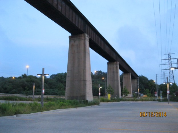
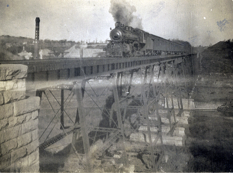
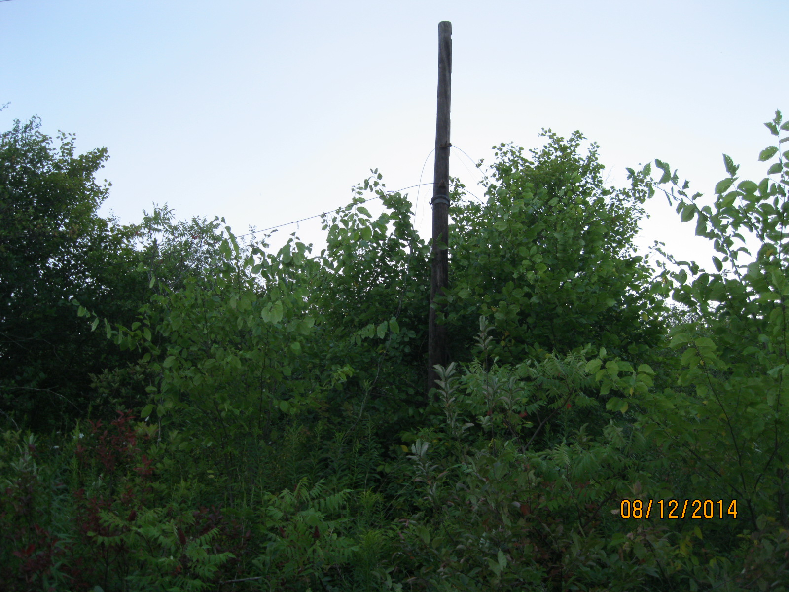
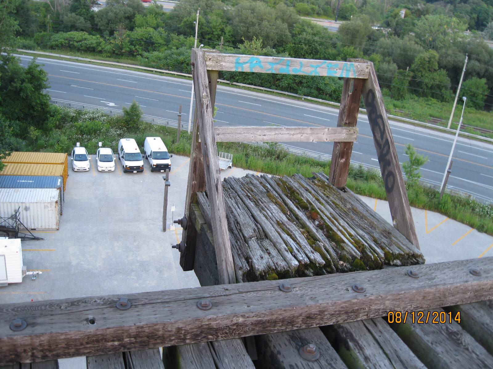
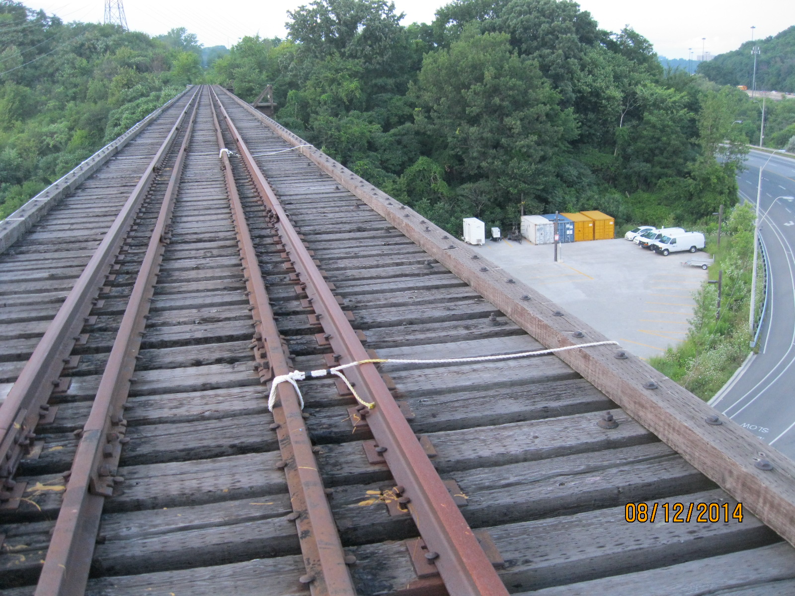
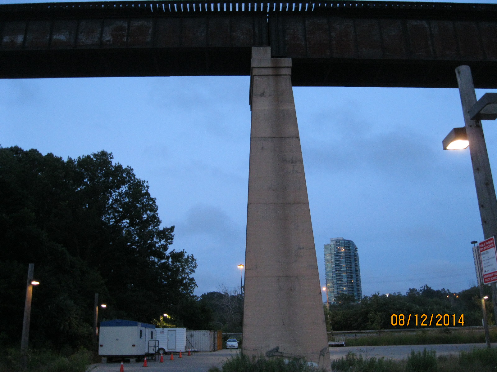
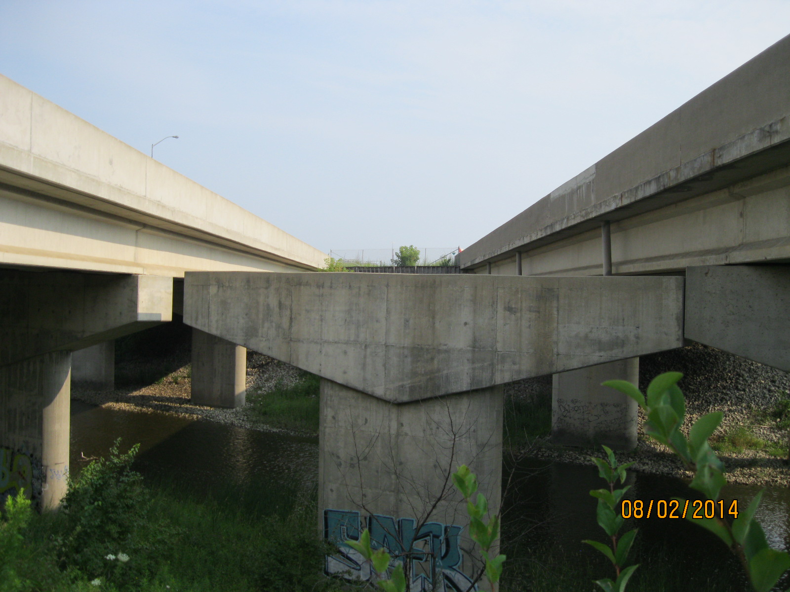
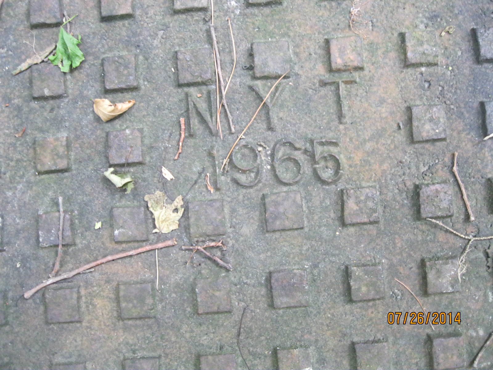
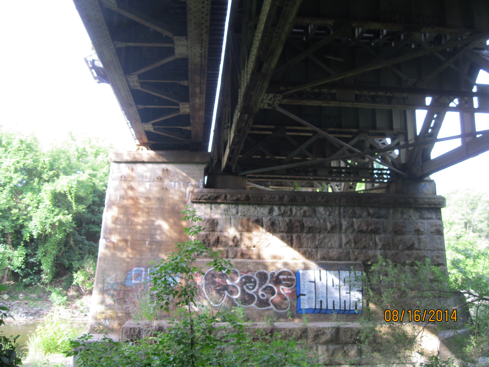
Visible from Lakeshore are a triple set of tracks, now used by GO Transit as well as many CN freight trains.  When the Grand Trunk Railroad (GT) was built in the 1850’s it was two tracks wide.  The bridge in the photo below was built in 1856.  When the GT was incorporated into the Canadian National (CN) in 1923 a third track was added.  In the photo below the older track is sitting on the large cut stone blocks while the newer addition on the left is constructed on poured concrete which had become popular around 1900.

IMG_2913

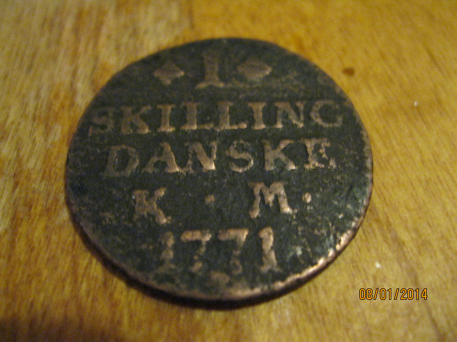
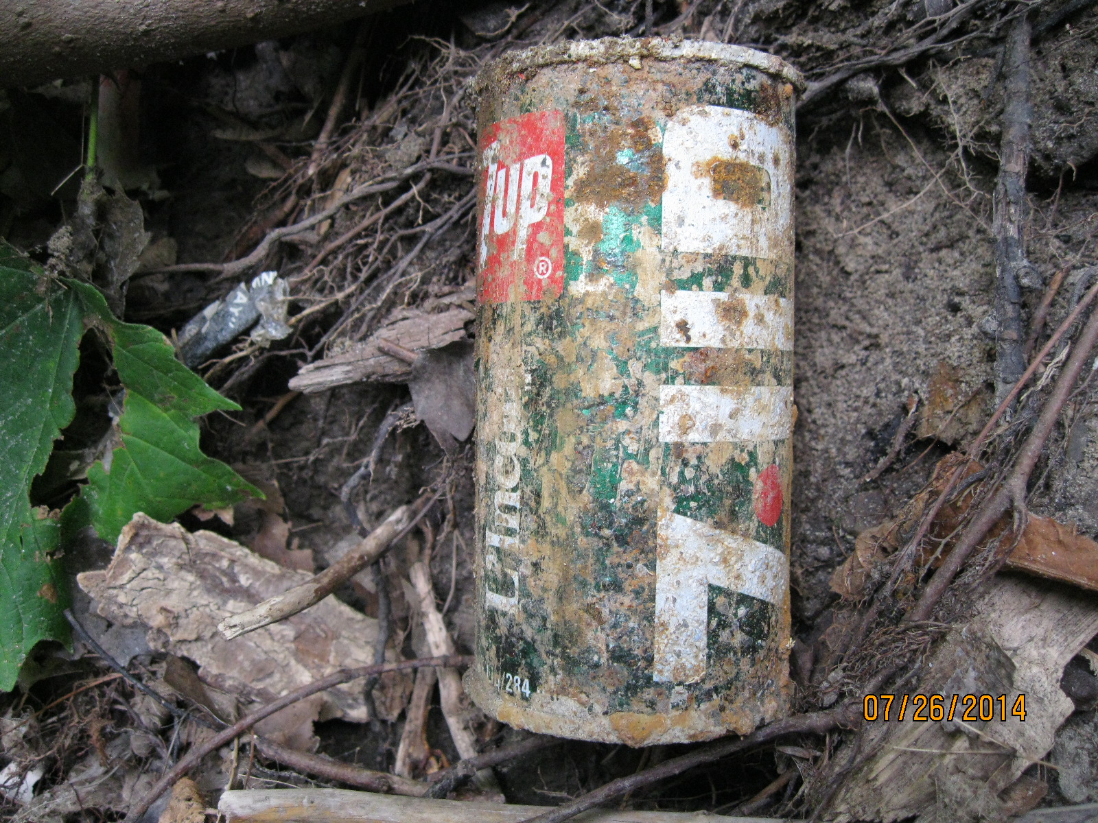
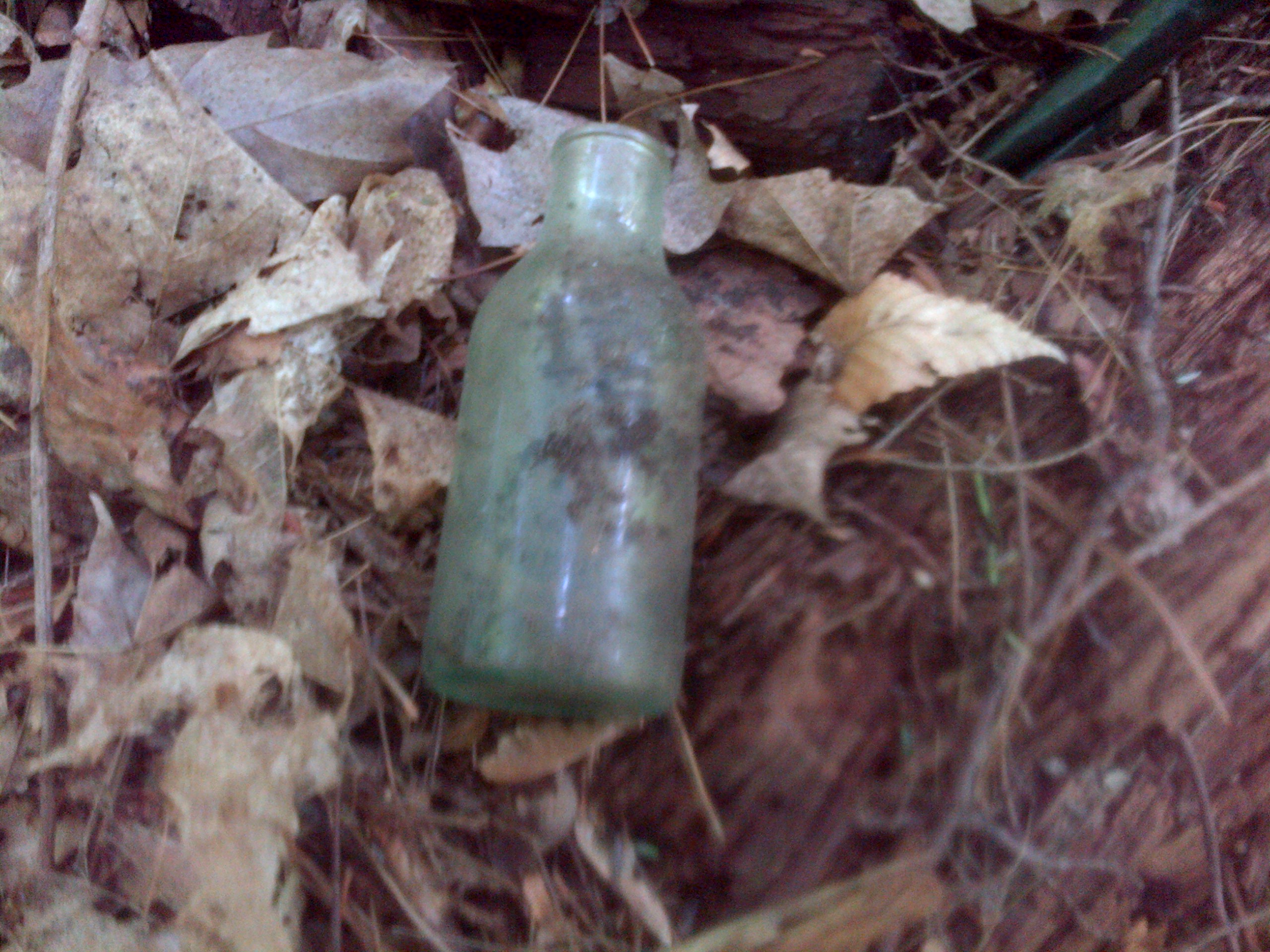
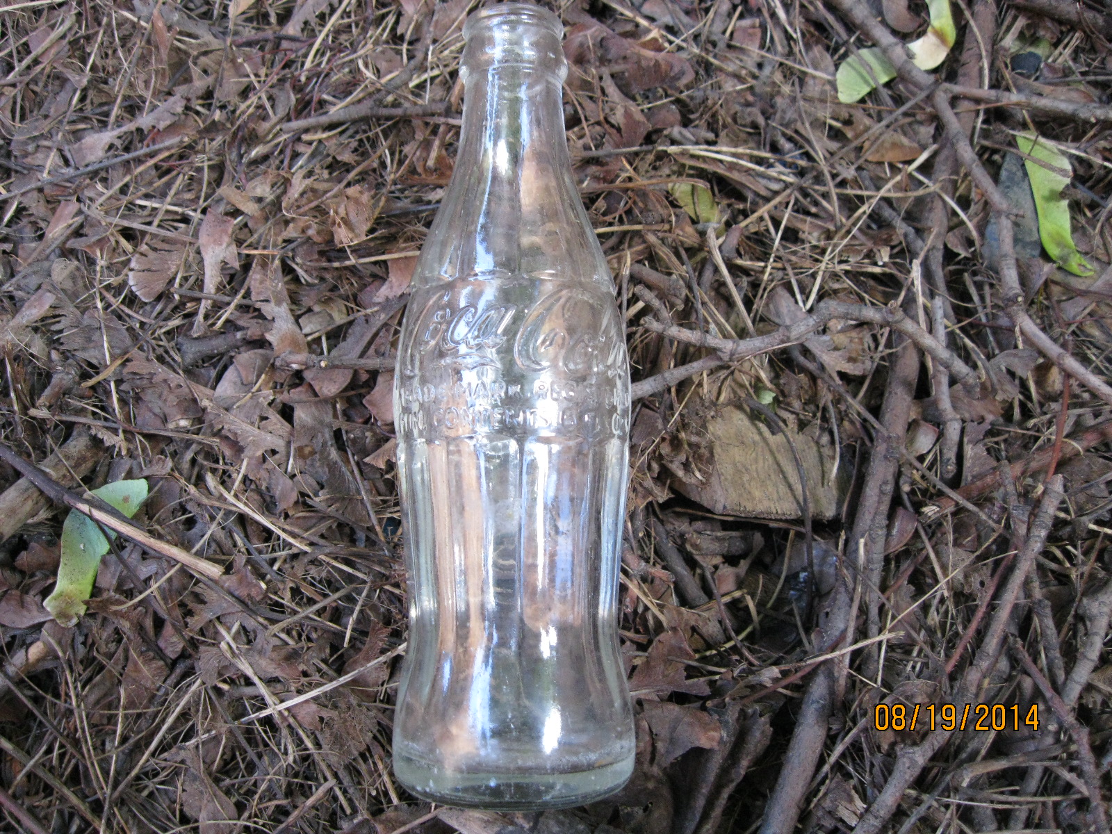
Coca Cola was invented in 1886 in Atlanta by a pharmacist, Dr. John Pemberton. Originally it was sold as a syrup that was mixed in the pharmacy and sold at the counter by the glass.  in 1915 the distinctive “hobble-skirt” bottle was created.  Selling for 5 cents it contained a 6 oz serving.  Pepsi was created in 1893 and stole a share of the market by selling 12 oz bottles also for 5 cents.  The coke bottle below was made in 1959.

IMG_3011

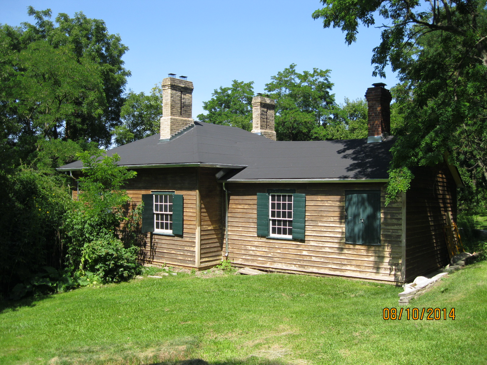
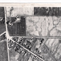
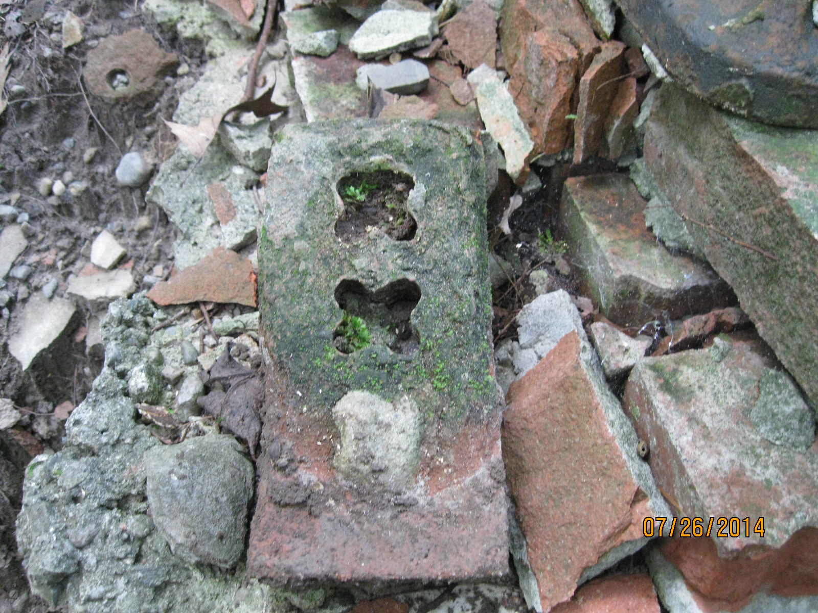
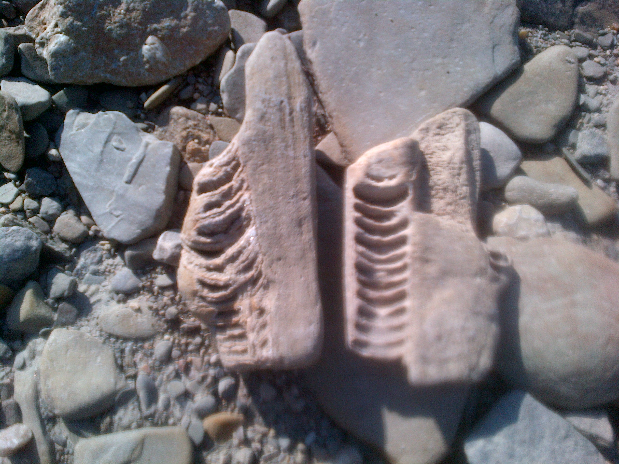
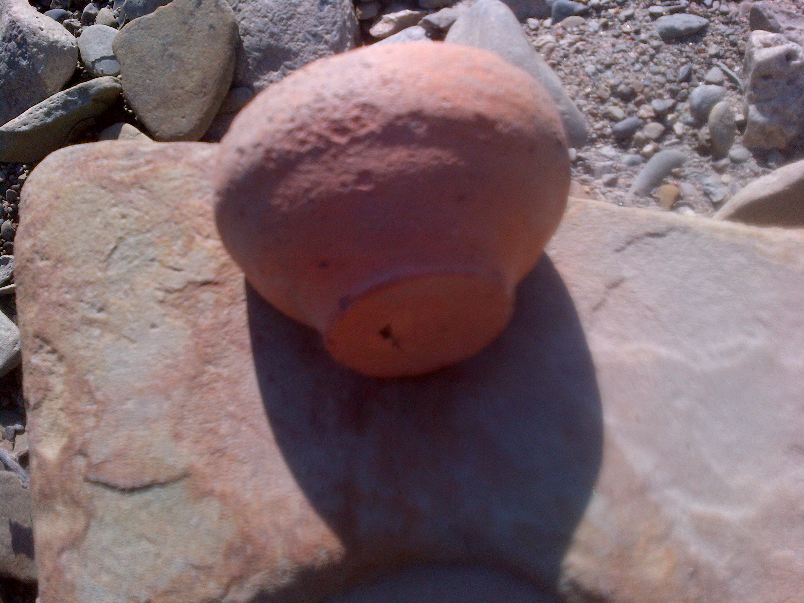
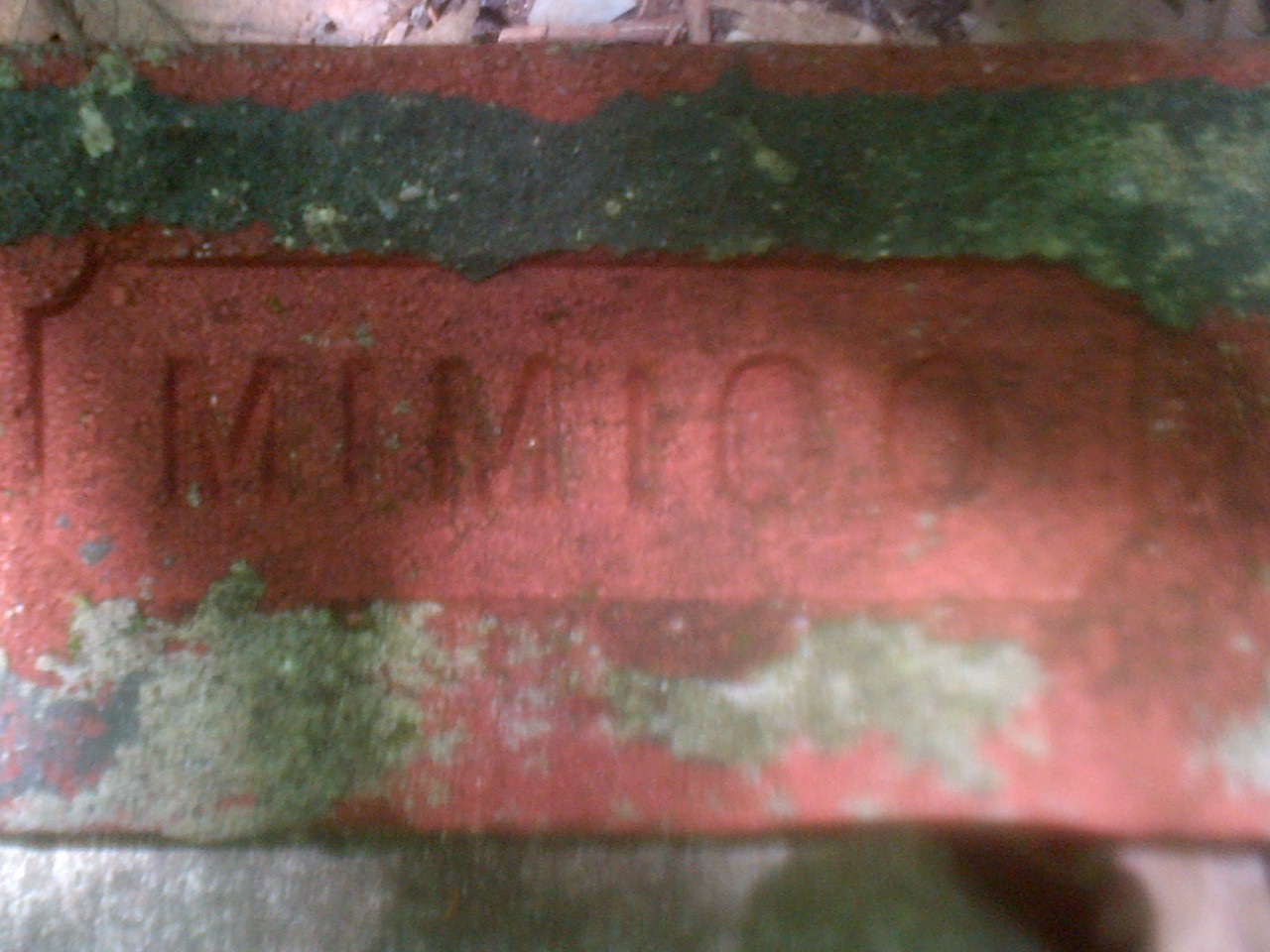
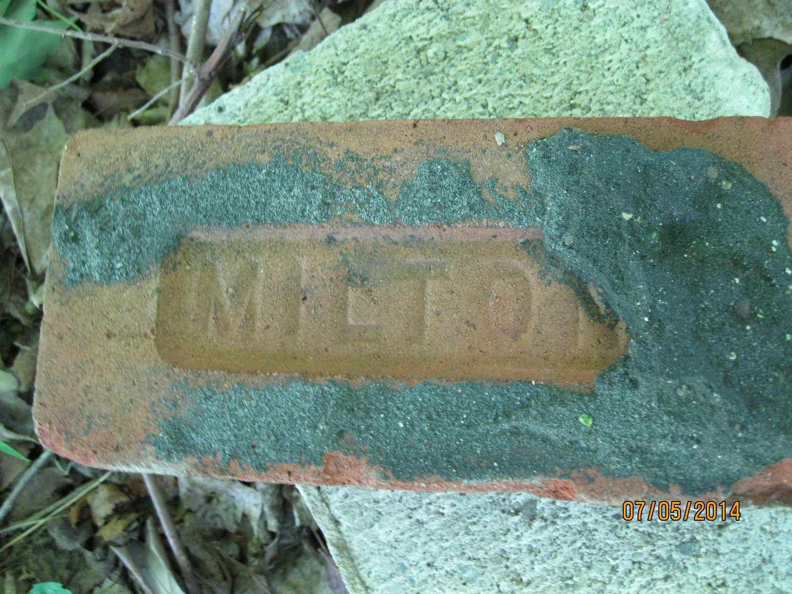
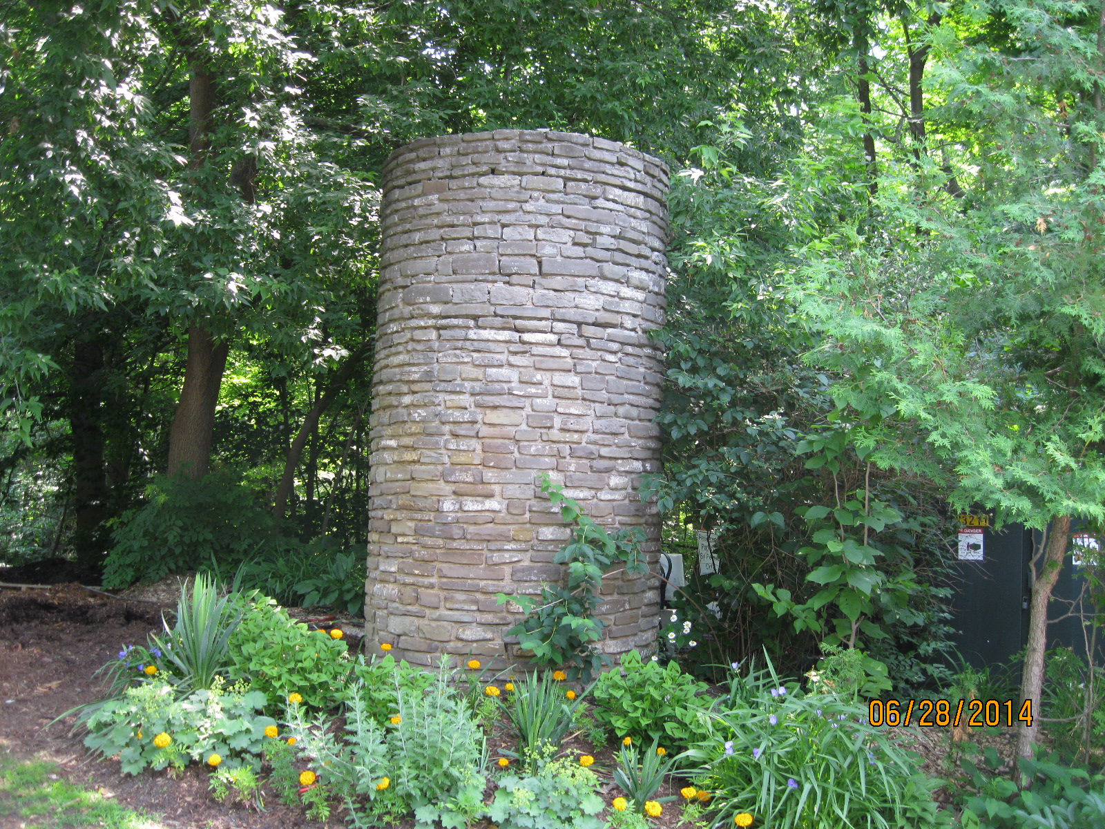
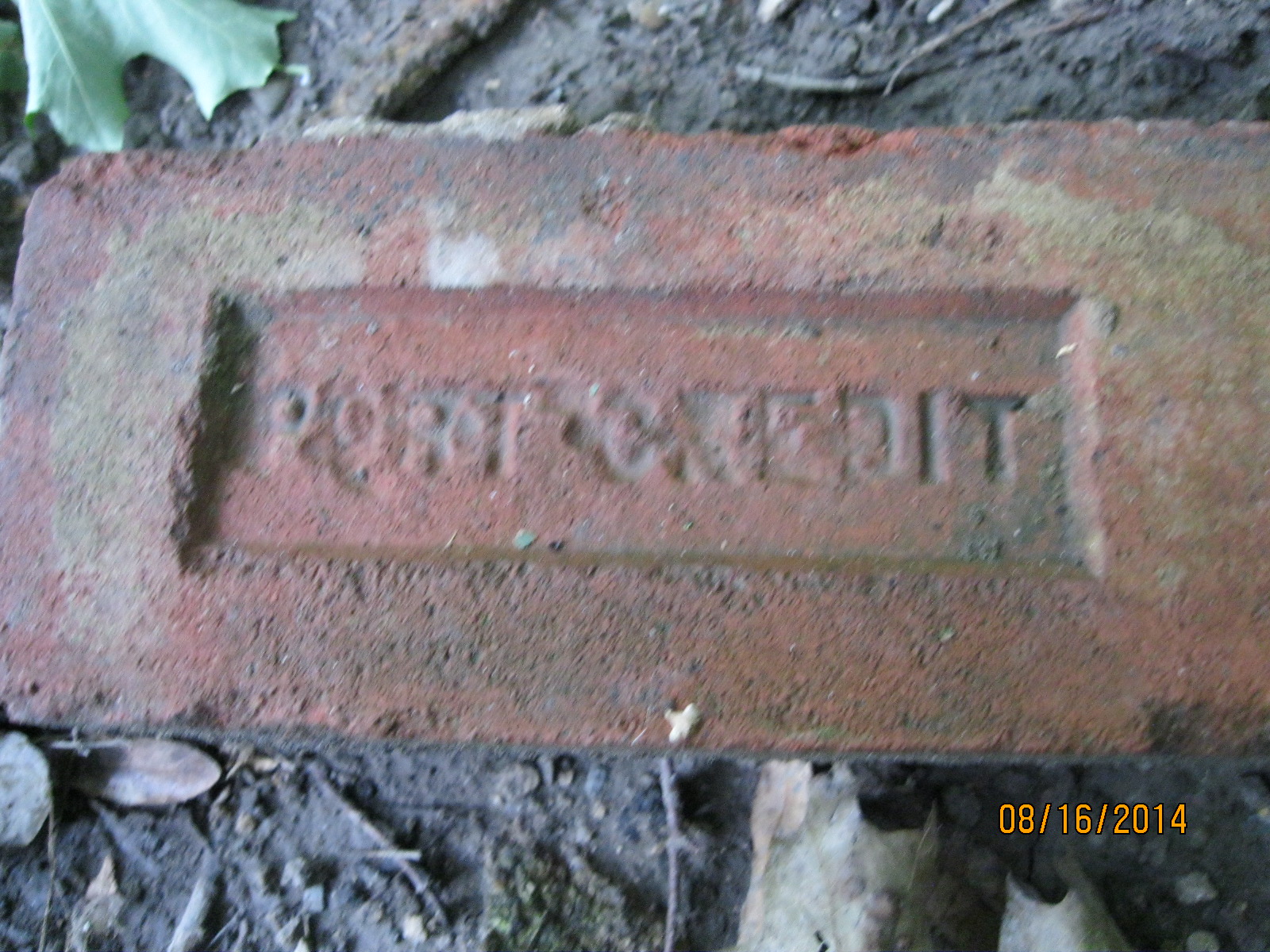
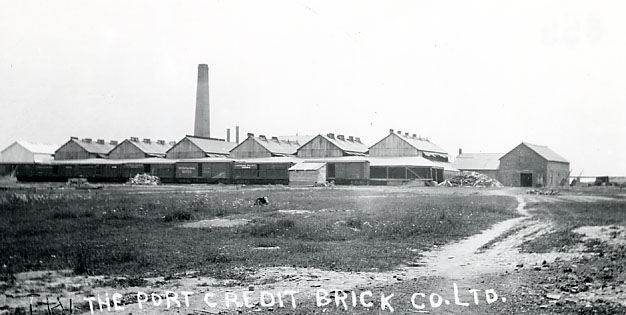
A brickyard was opened in Port Credit in 1891 on the west side of the Credit River.  The business expanded and soon a scarcity of labour resulted in the use of immigrants to work in the brick yard.  Bunk houses were built to provide homes for the workers.  By the 1920’s the business was operating at a loss and it was closed down.  That means that the brick in the picture below is likely over 100 years old.

IMG_2916

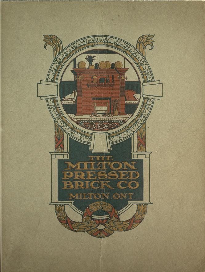
The brick yards as they looked in 1907.

Brickyards

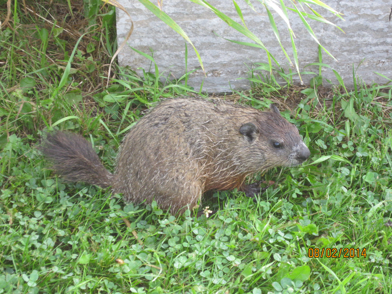
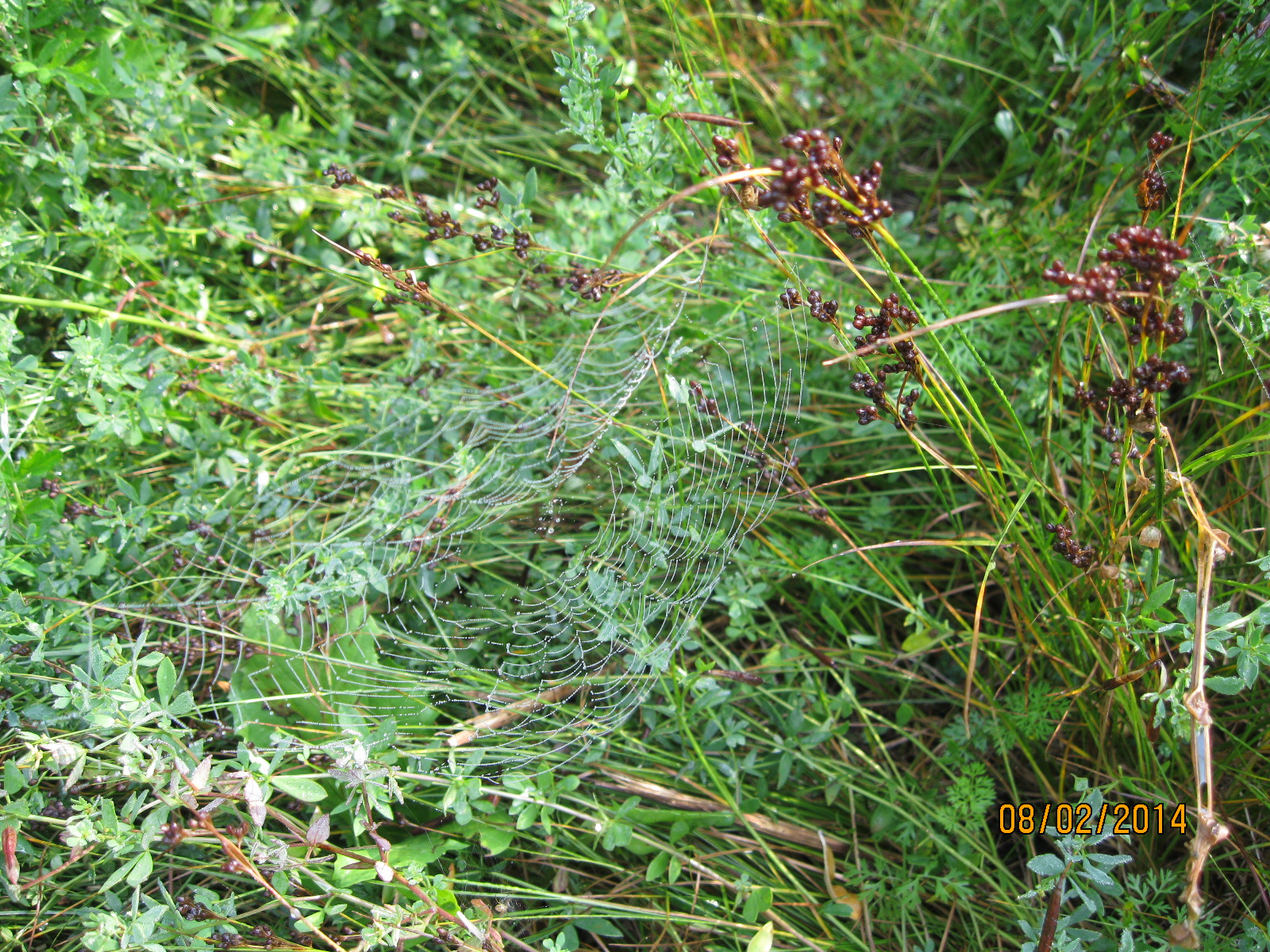
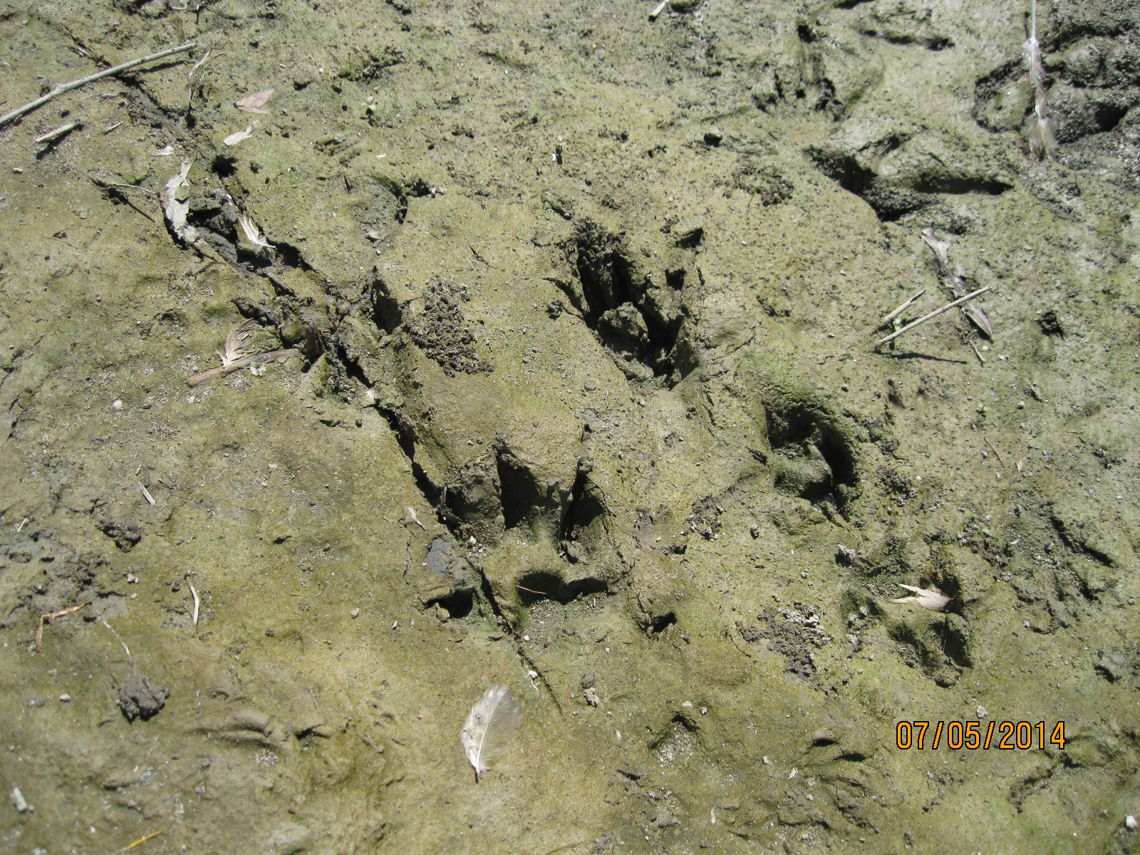
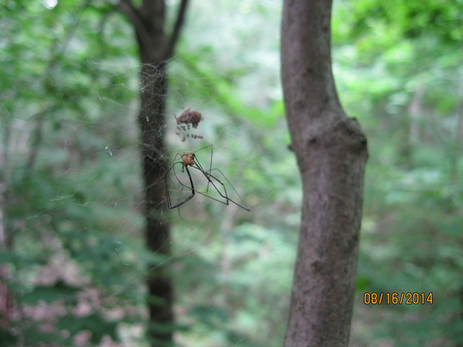
When hiking in the woods in August it is necessary to carry a small stick in front of your face to keep from eating spider webs.  The Cross Orbweaver is one of the more common ones, although it is not native to North America.  Females wrap their eggs in a protective sac of silk.  There are between 100 and 800 eggs in a single egg sac.  We found an egg sac that had just hatched.  The picture below shows a “daddy-long-legs” spider which has been captured and left for food for the little babies.  Note the tiny dots below the egg sac which are the emerging young.

IMG_2944

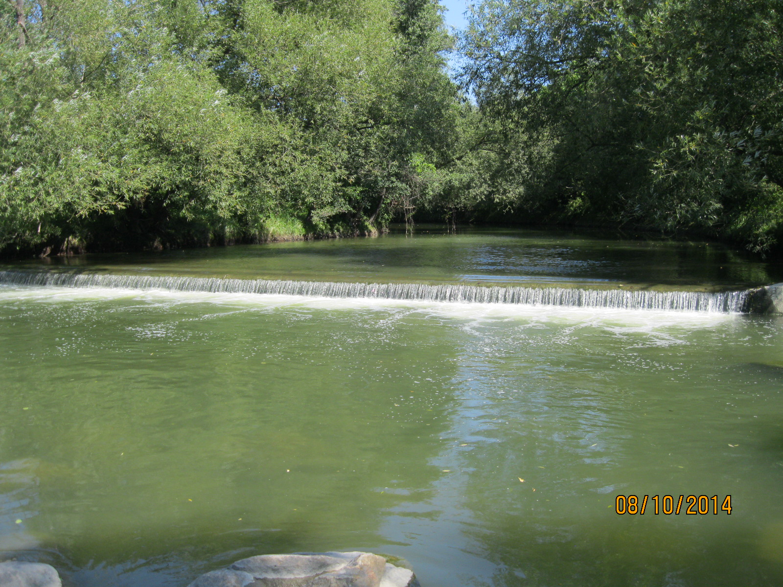
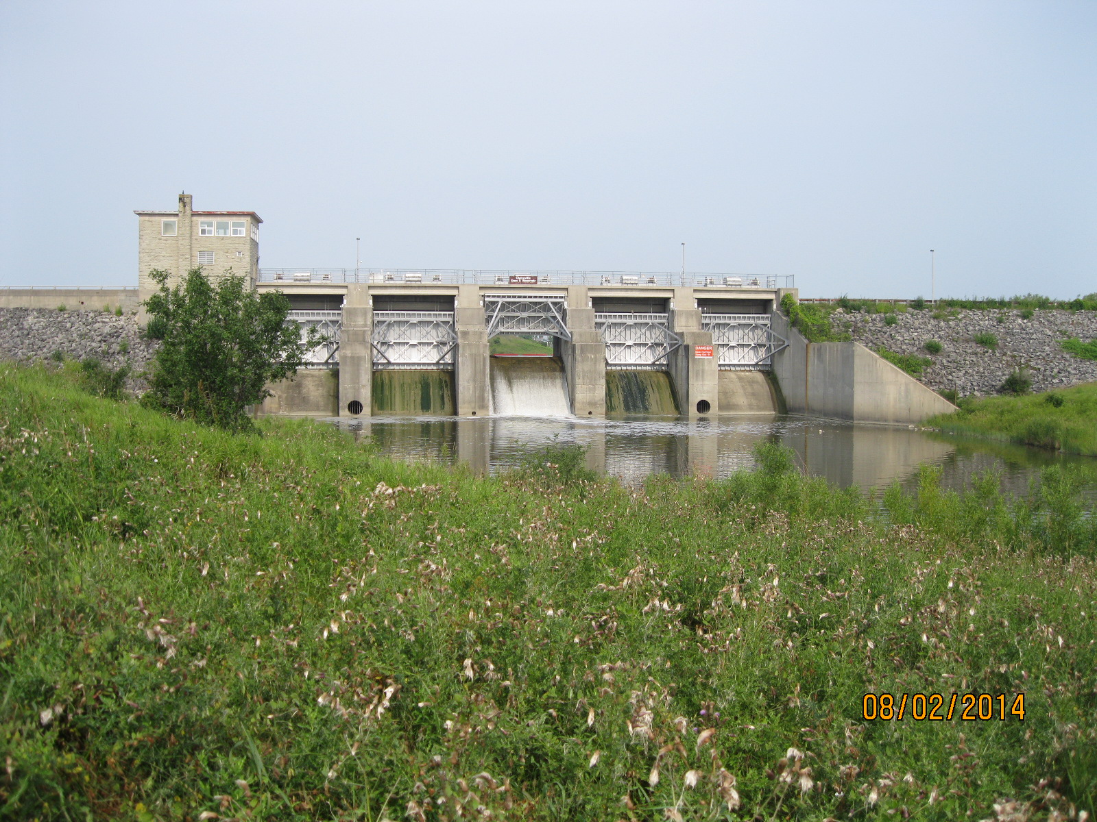
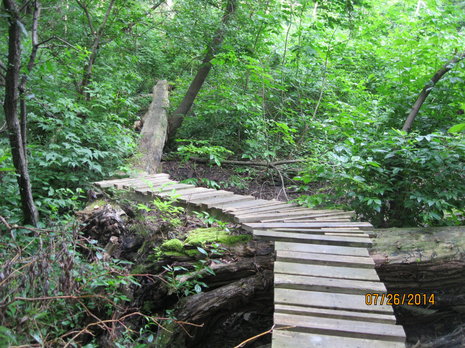
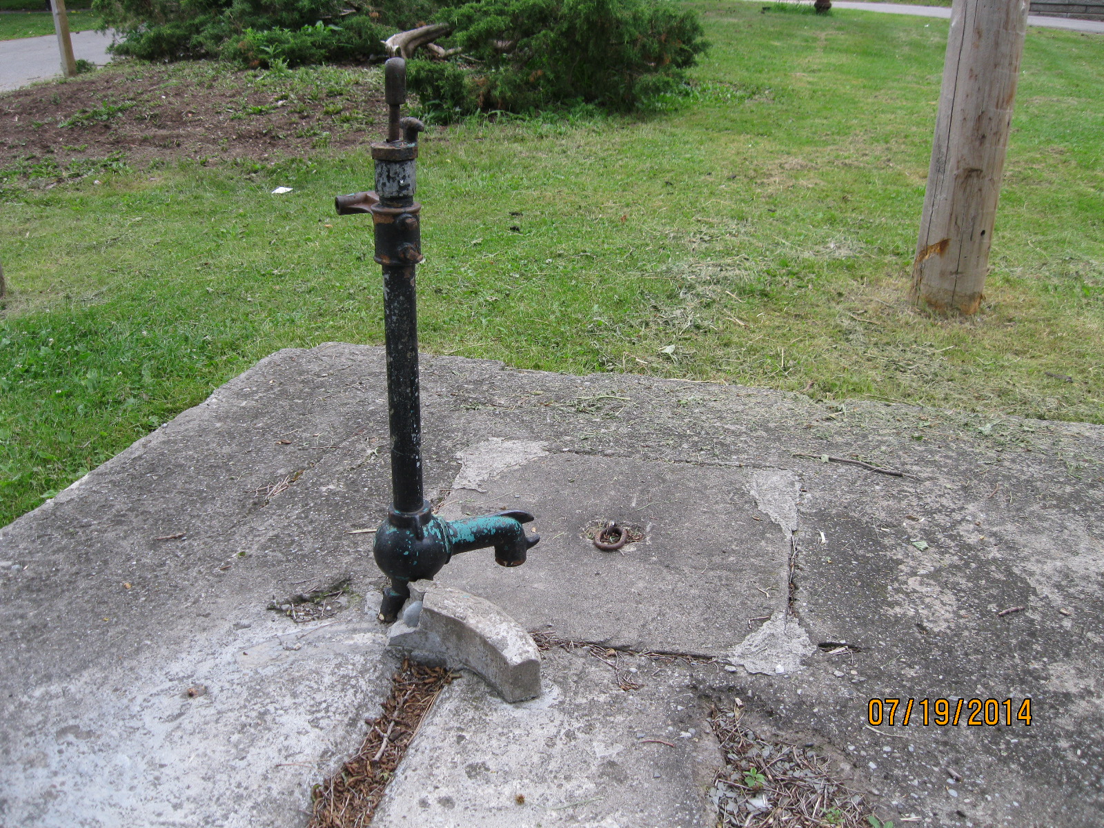
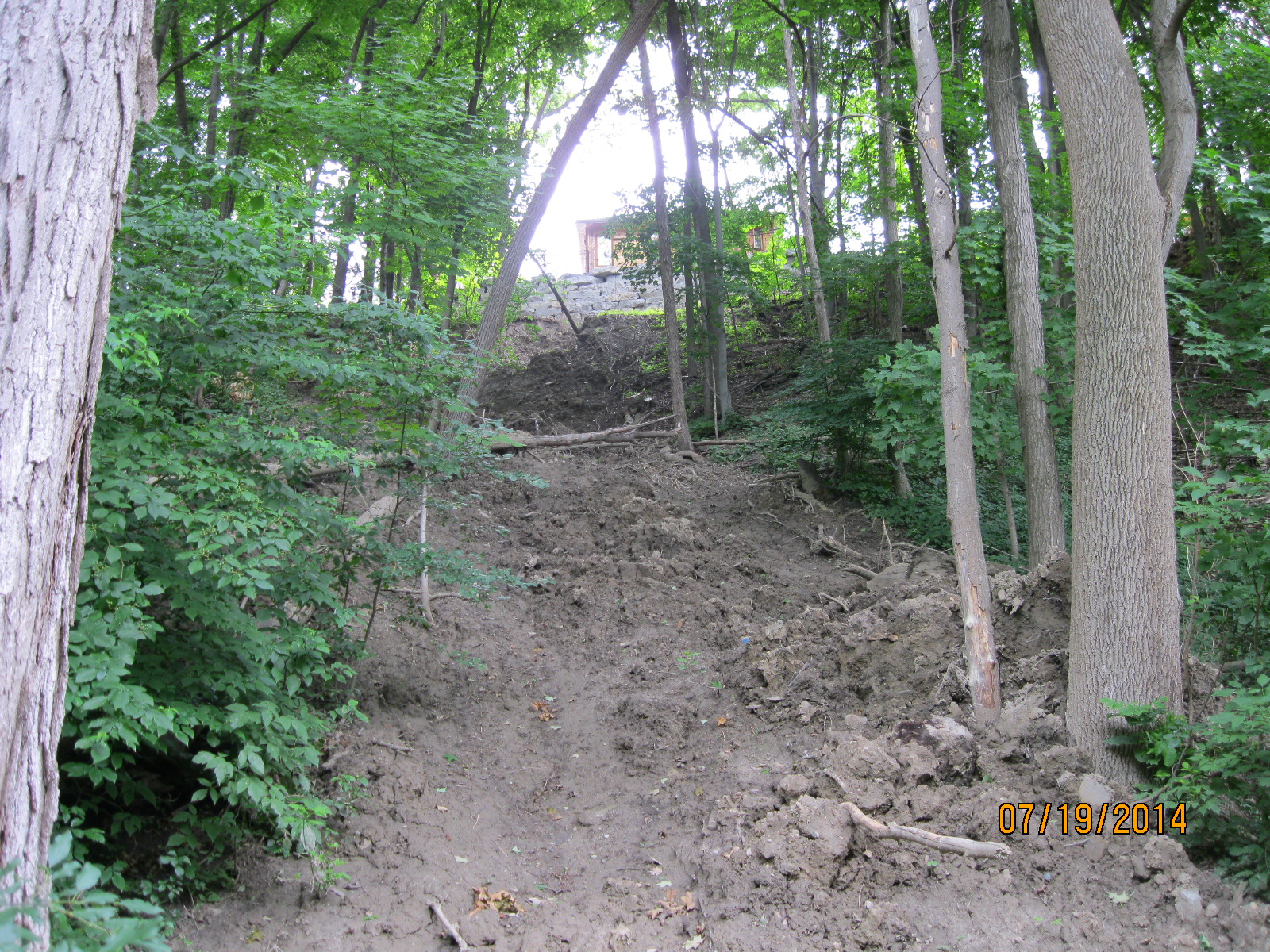
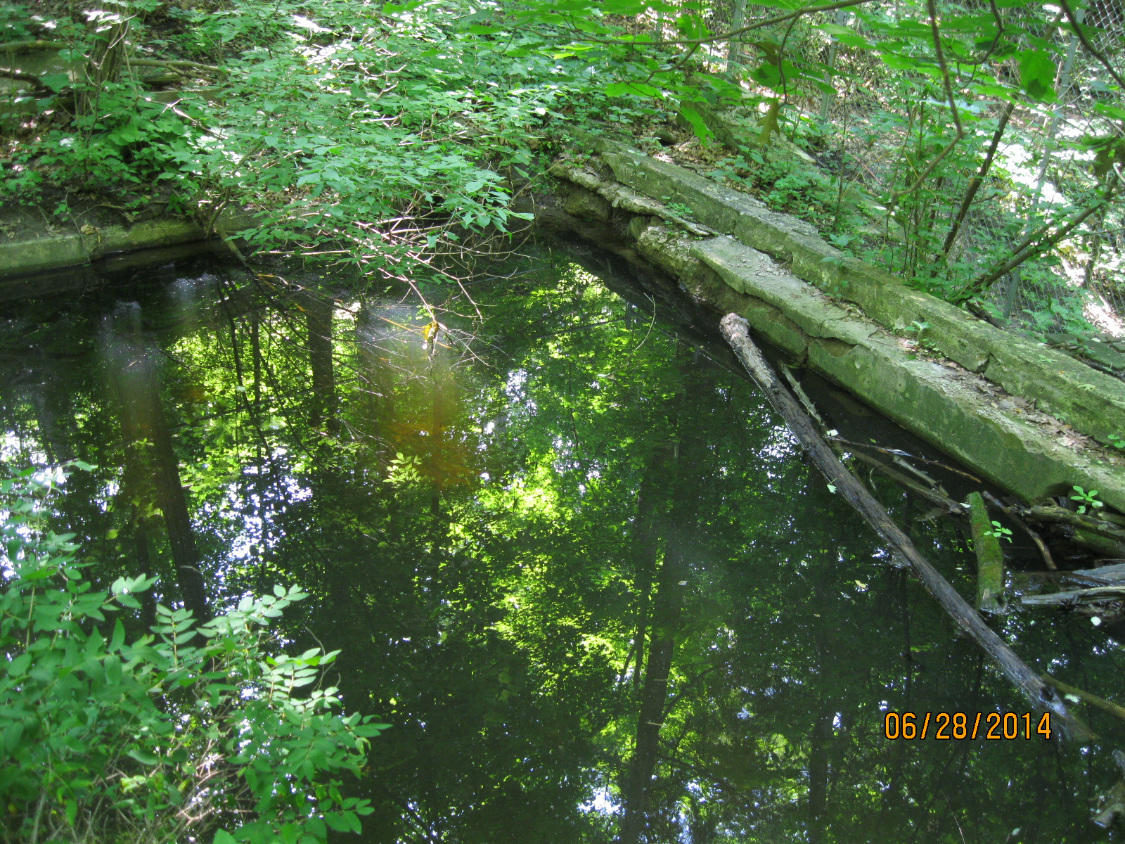
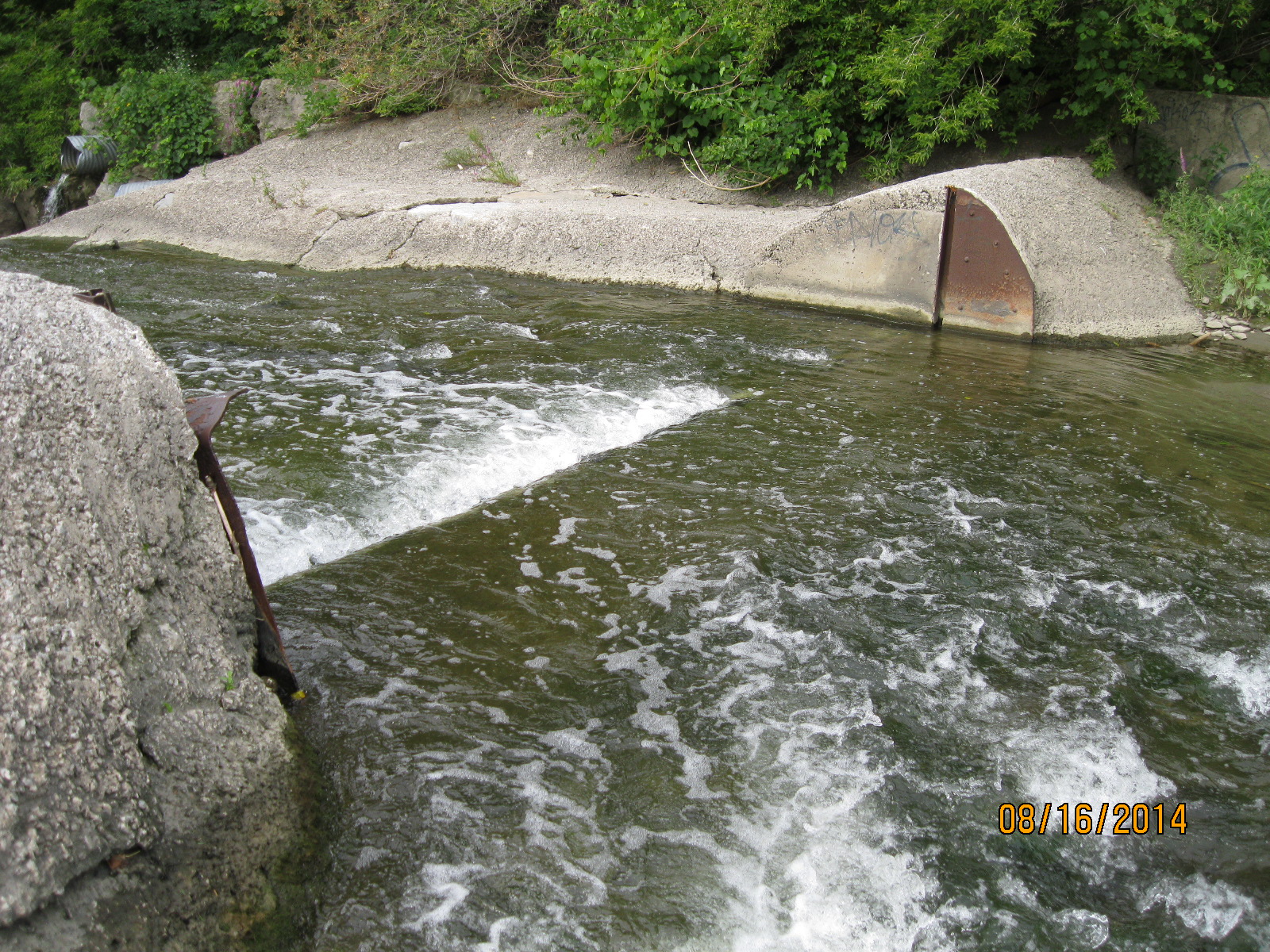
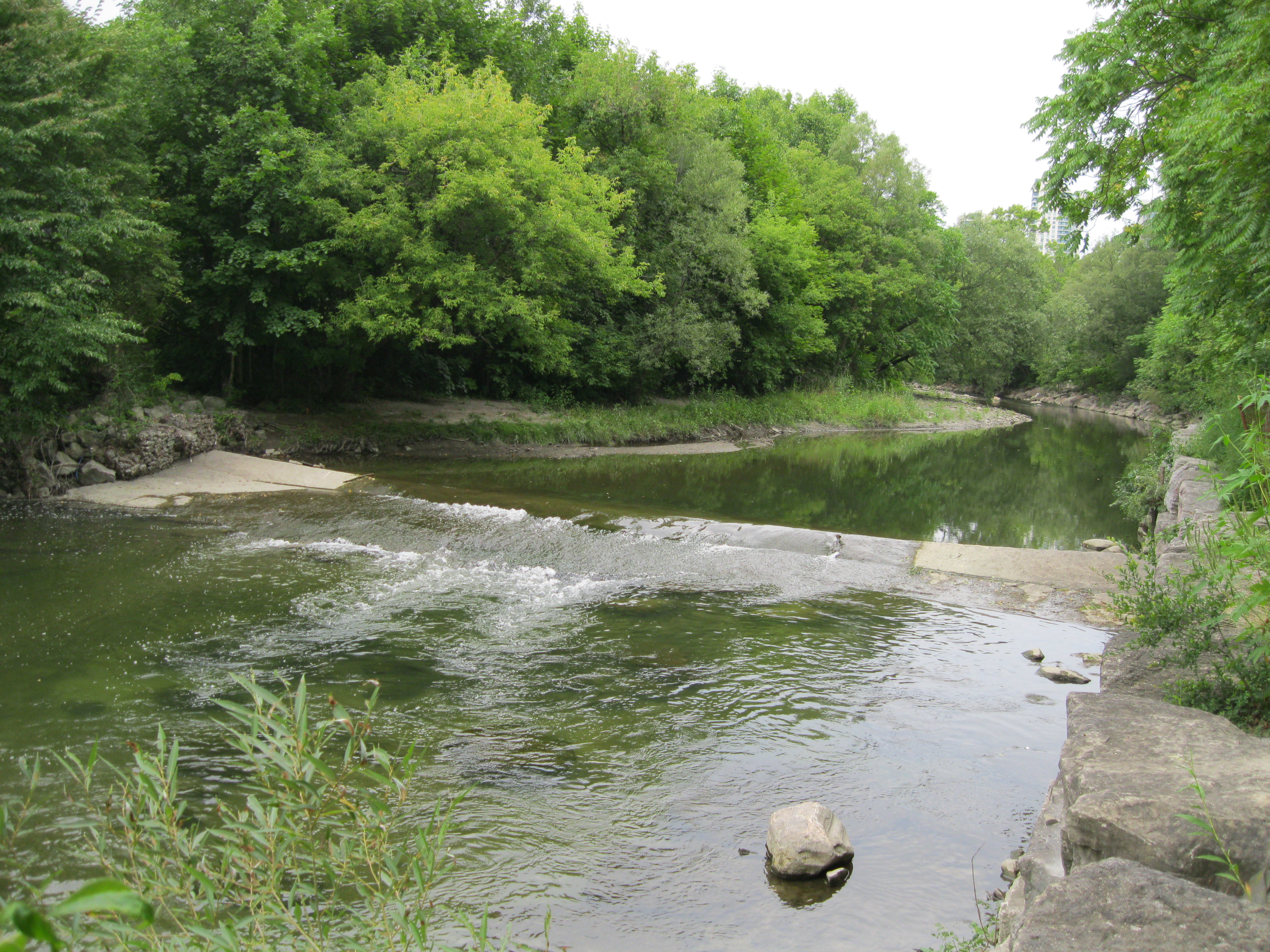
Just north of the tracks is the first old dam on the creek.  This dam has retaining walls which extend all the way to the edge of the ravine on both sides of the creek.  This is a good example of an old dam as you can clearly see the slots in the river bottom to hold the boards that would retain the water for the mill pond.

IMG_2926

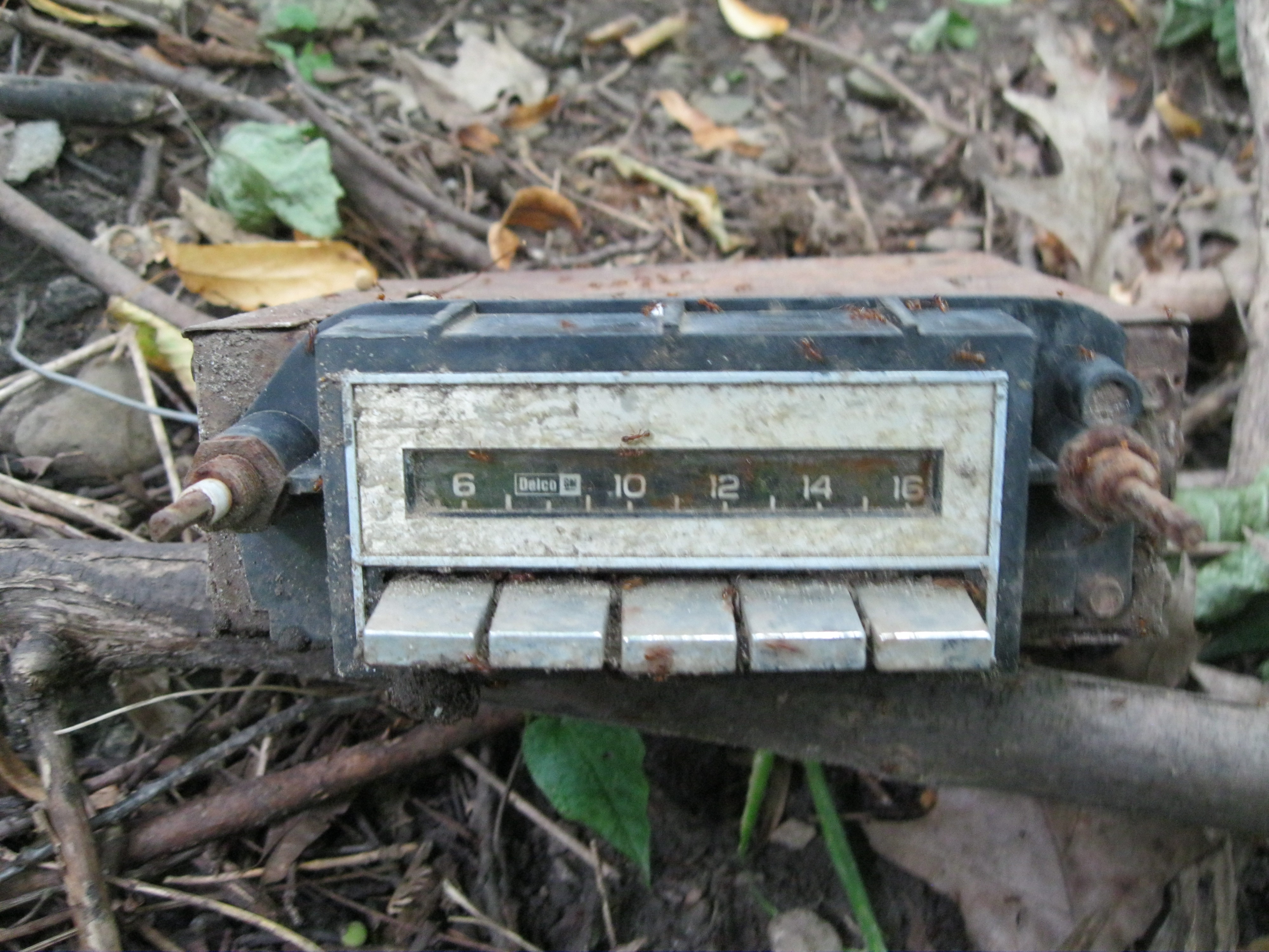
Delco radios are standard on GM products.  In the 1960’s it was common to have only an AM radio in your new vehicle.  FM radio, CD players and MP3 inputs were all many years in the future.  We found an old AM radio with 5 preset channel function.  Having 5 preset stations was a luxury at the time as you didn’t have to try to tune the dial while driving (let alone dial your cell phone).

IMG_2958

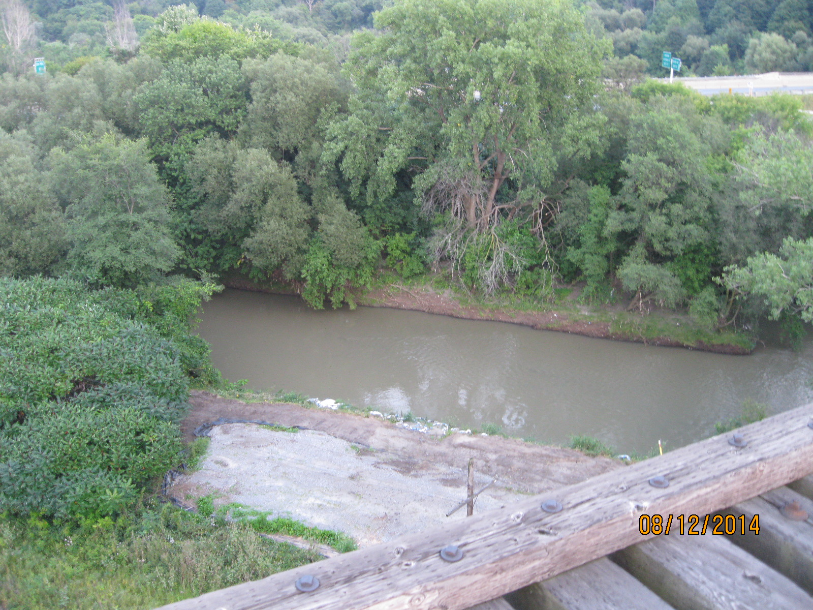
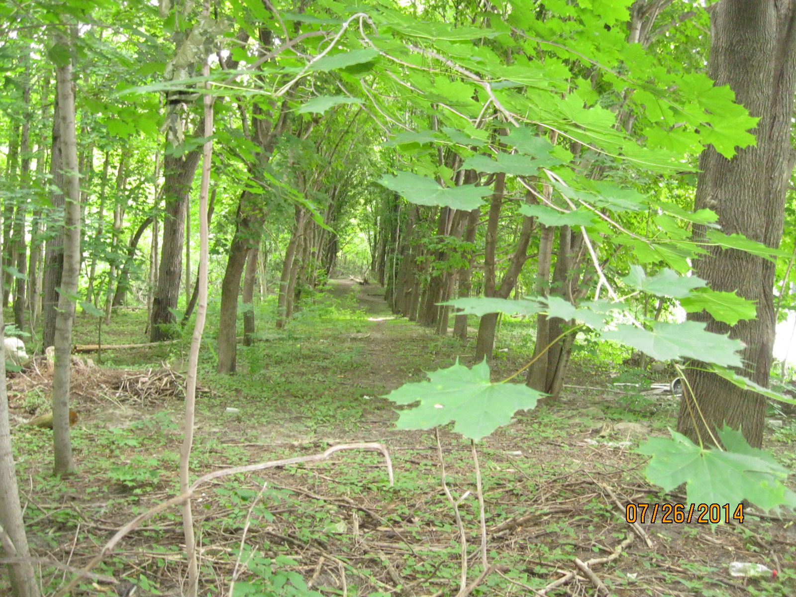
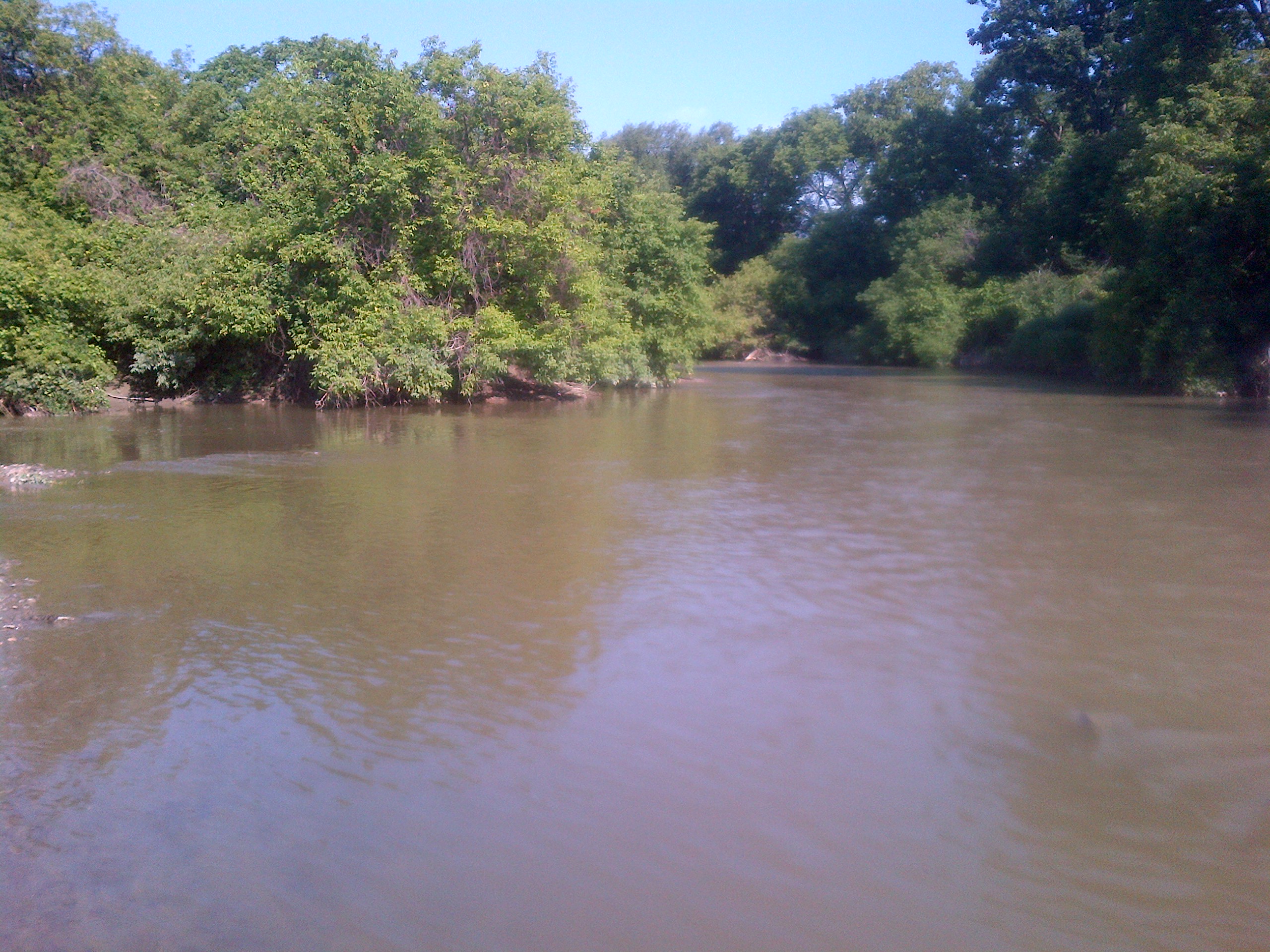
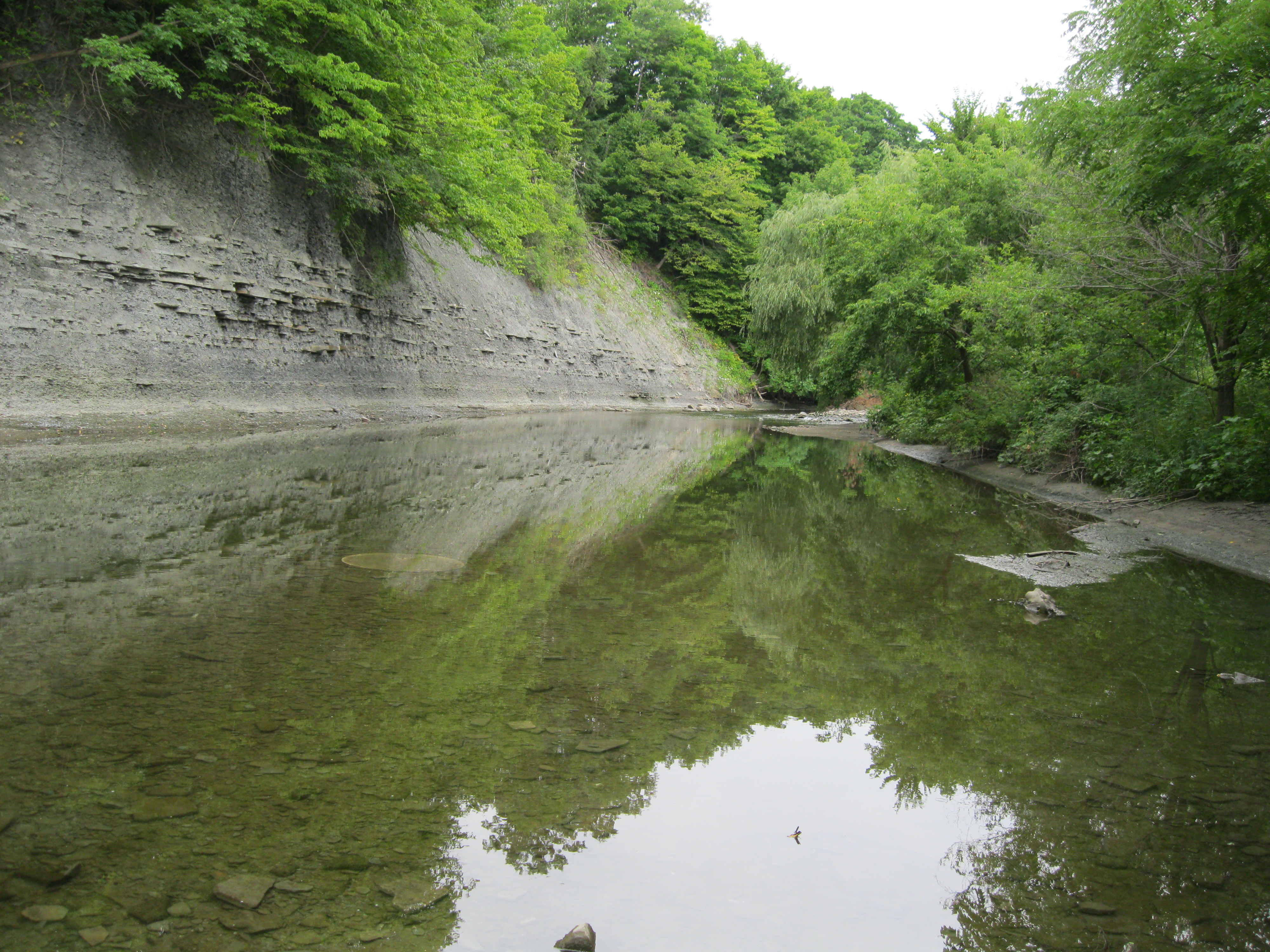
The Etobicoke creek was calm and clear.  The west bank of the creek is a shale cliff which is slowly being eroded away from below.  Shale is formed from fine particles of sand that is deposited in slow moving water.

IMG_2961

The second dam across the Etobicoke creek.  Unfortunately, I haven’t found much information about the early miller families on the creek.

IMG_2971

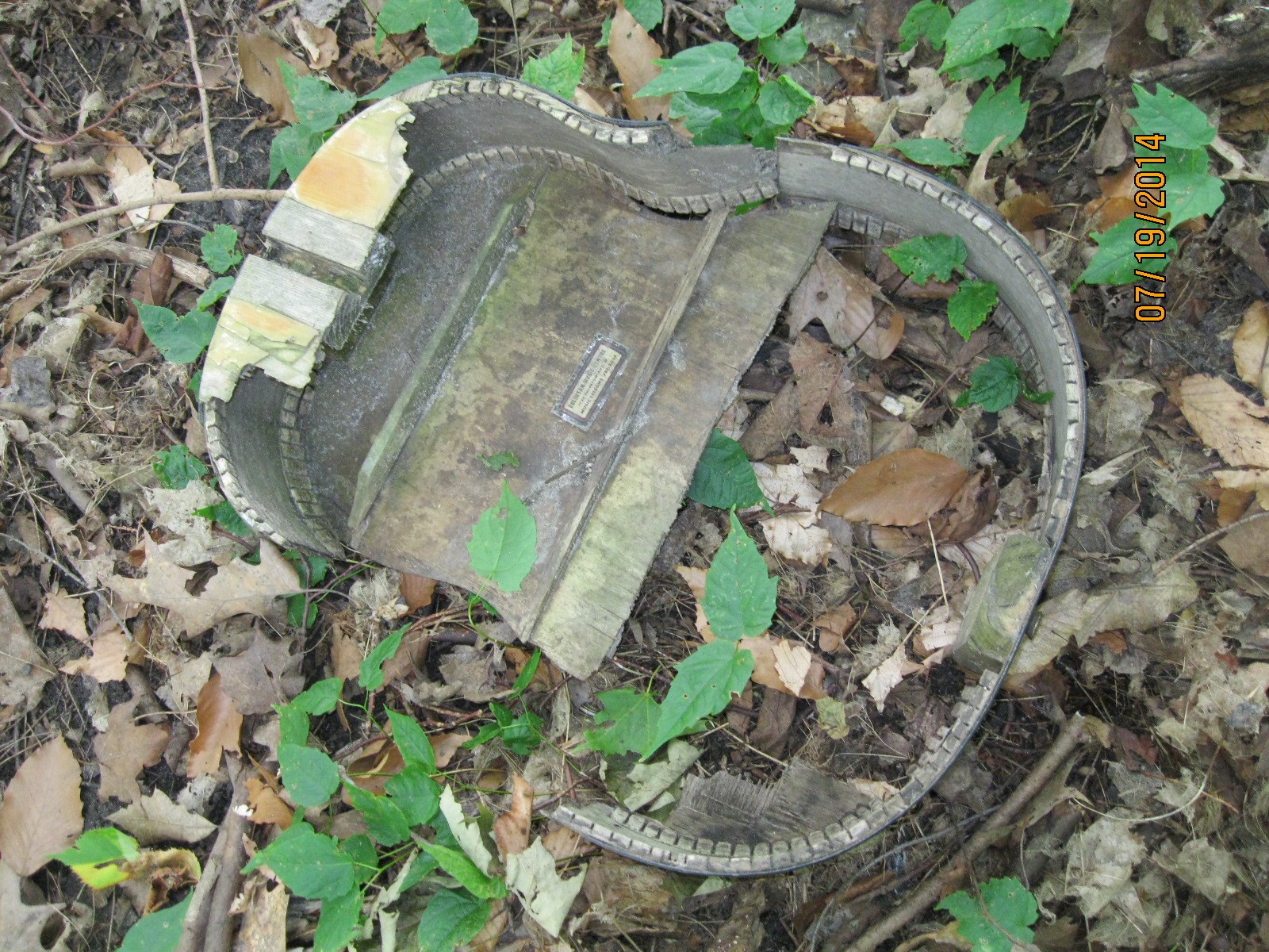
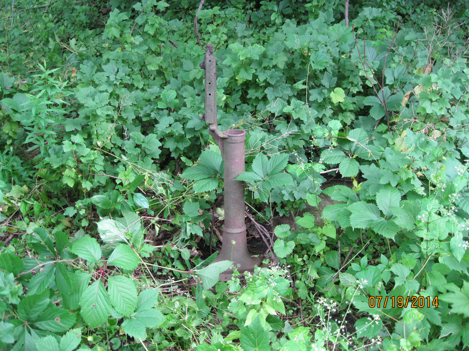
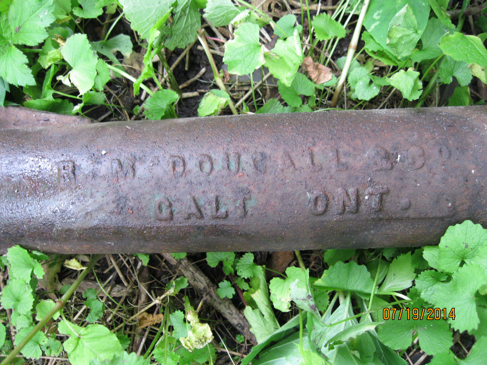
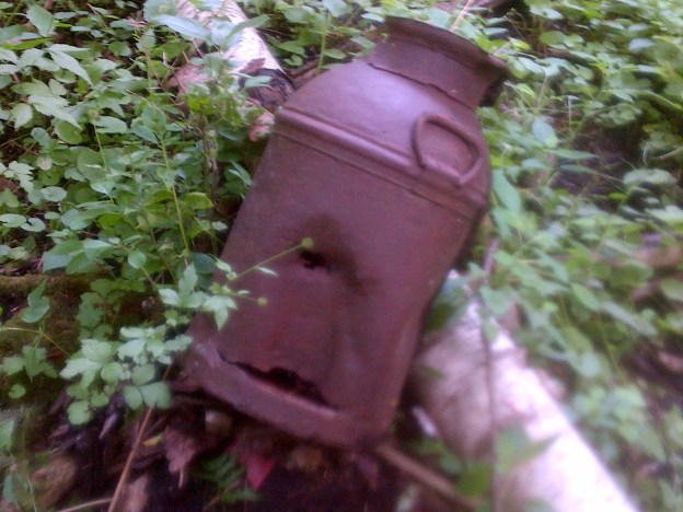
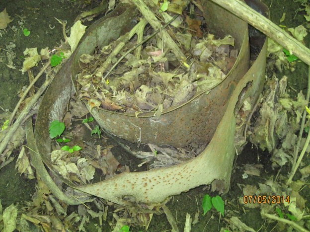
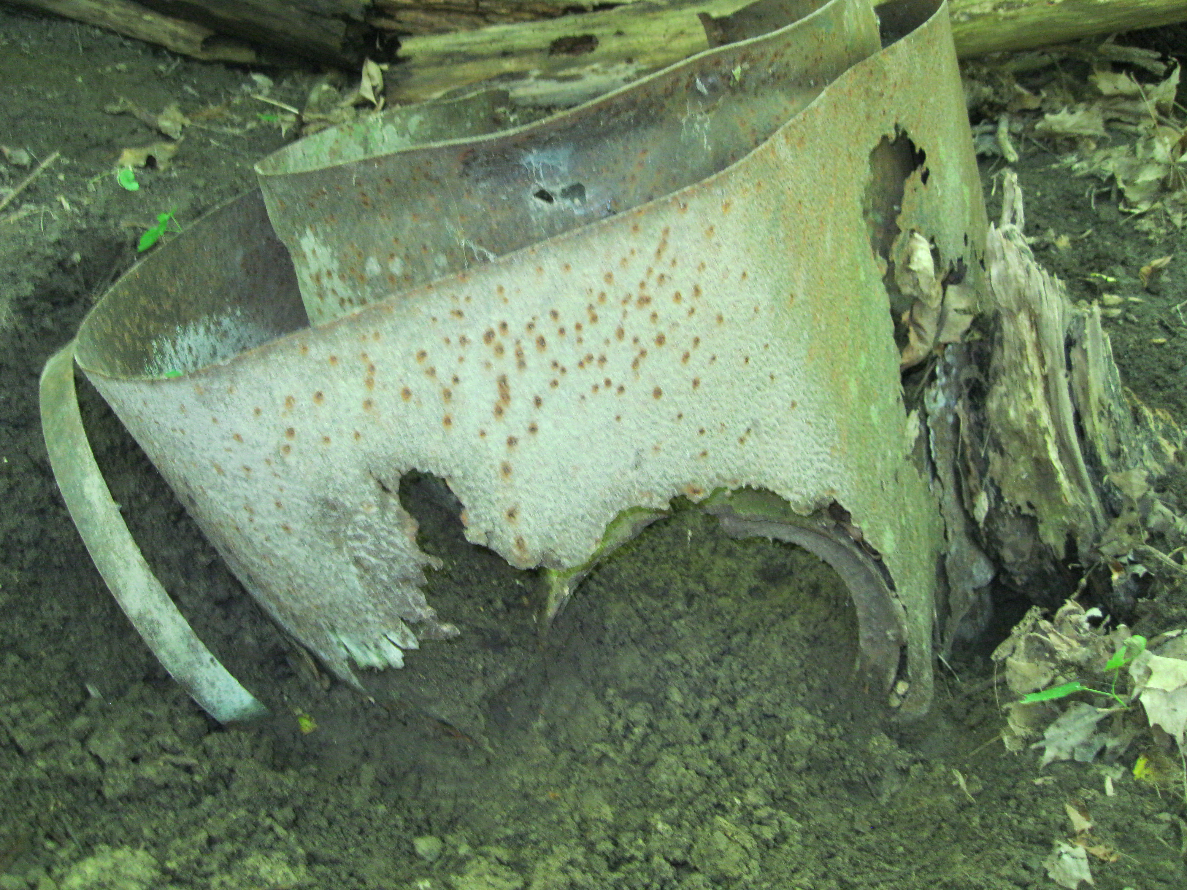
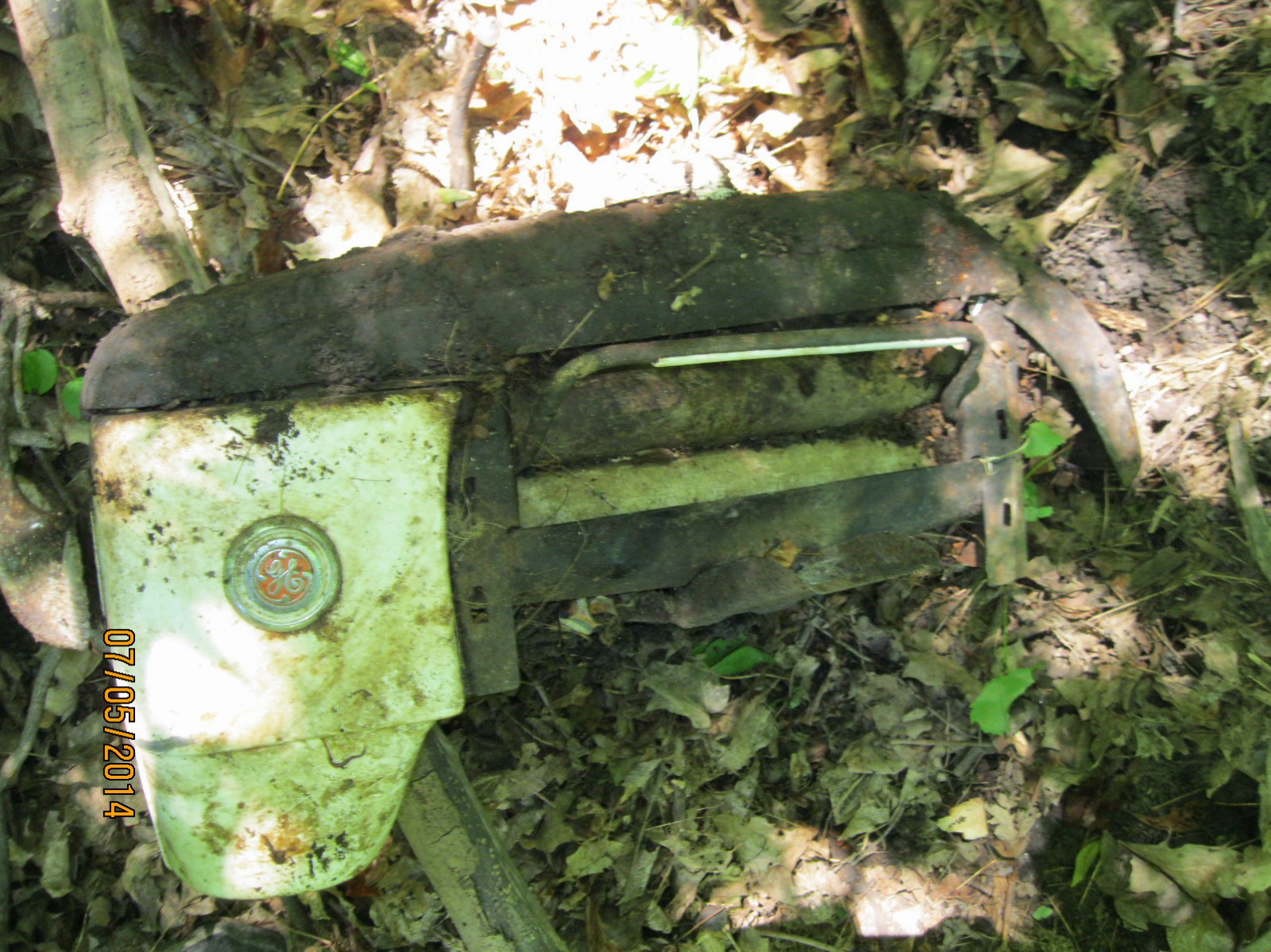
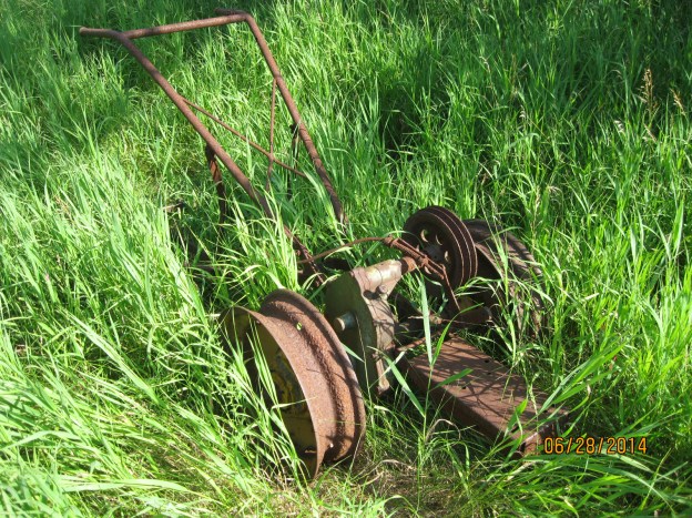
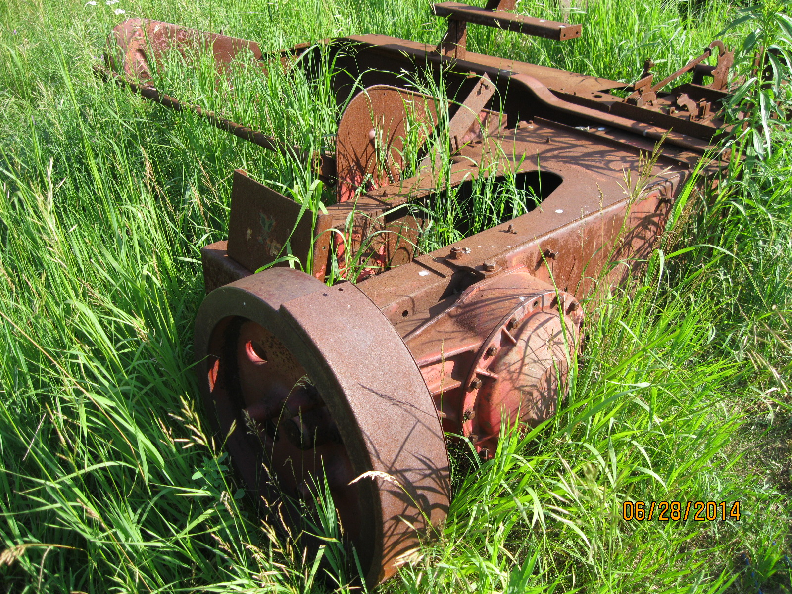
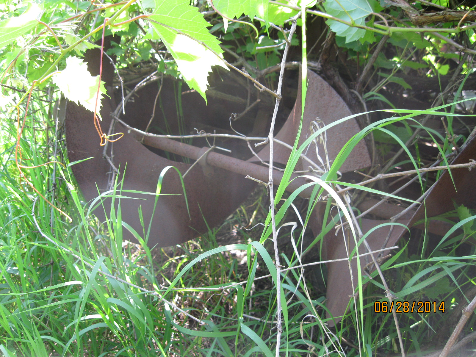
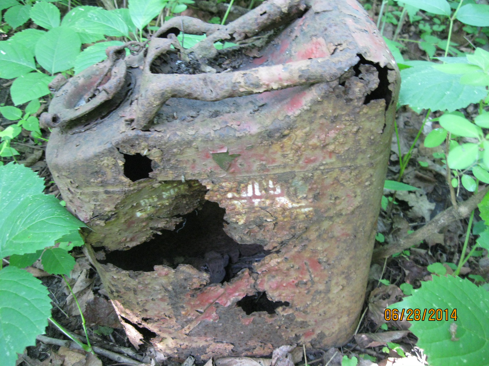
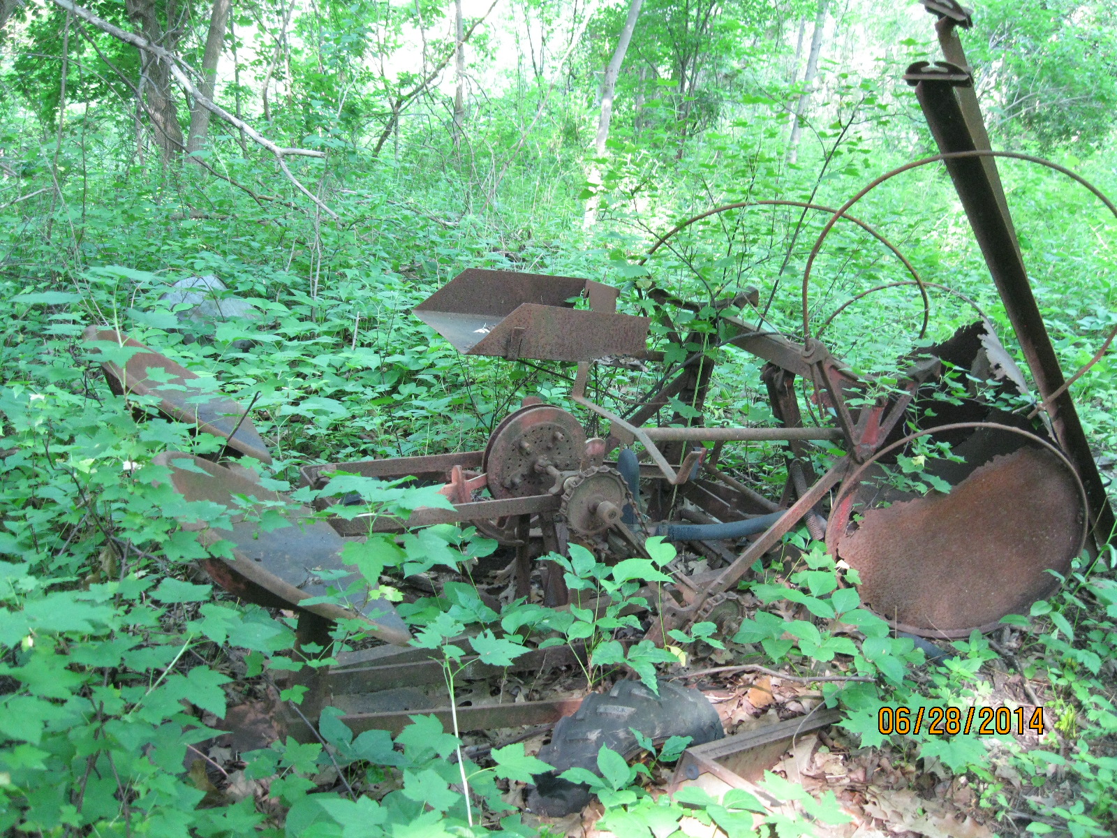
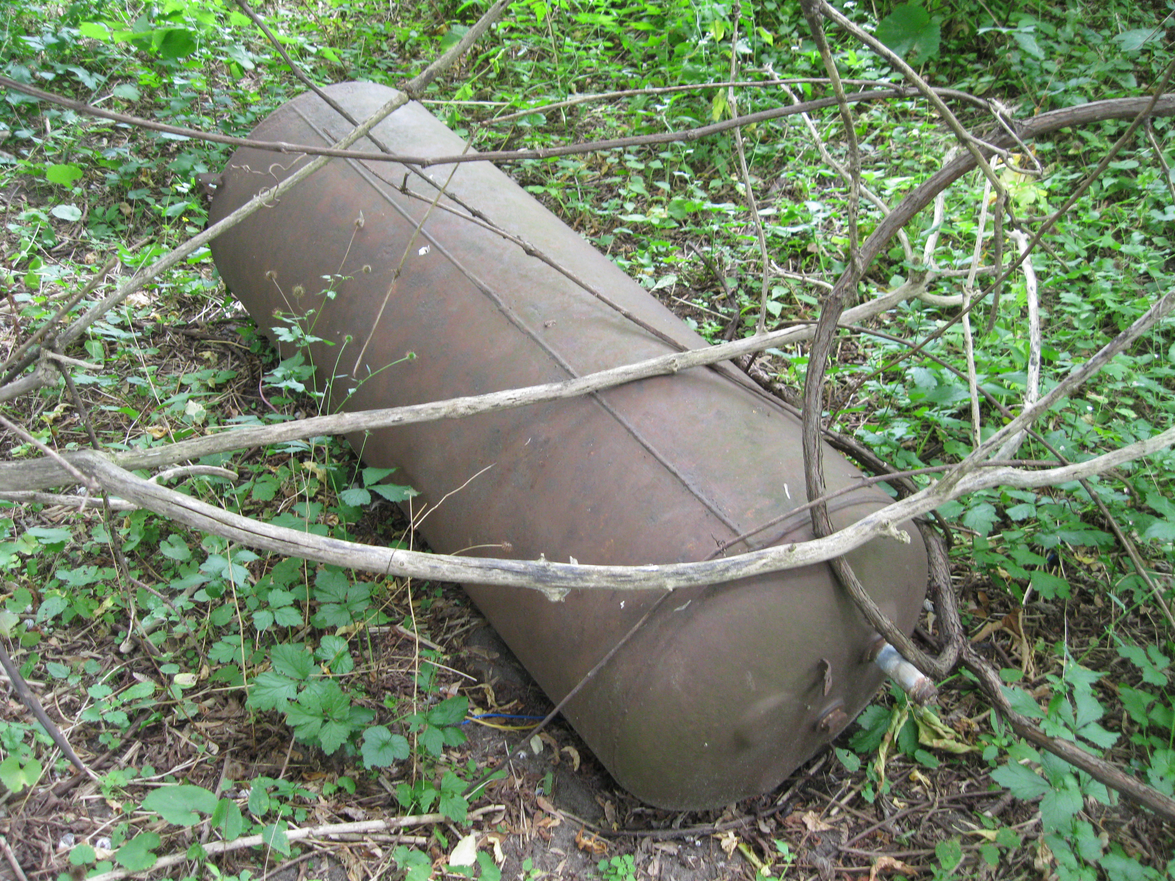
Today was a day for hot water tanks.  We found two of them along the way.  One would wonder why someone would carry one of these out here to dispose of it.  Most likely these are remnants of the mess left when Hurricane Hazel ripped homes apart and washed them away.

IMG_2984

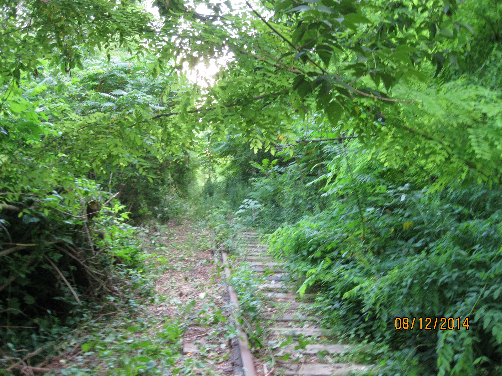
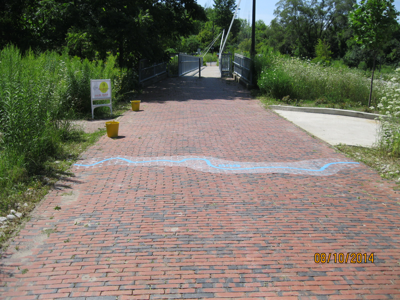
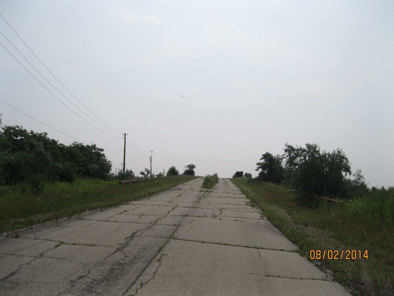
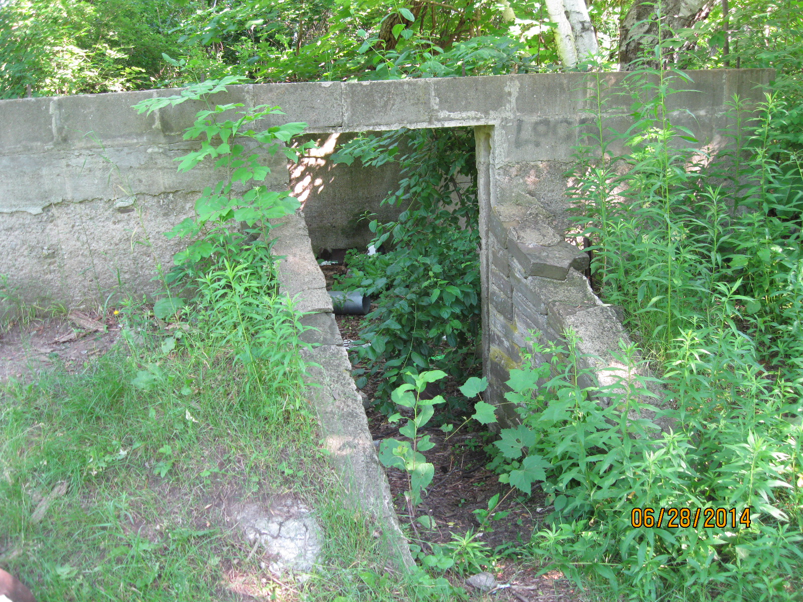
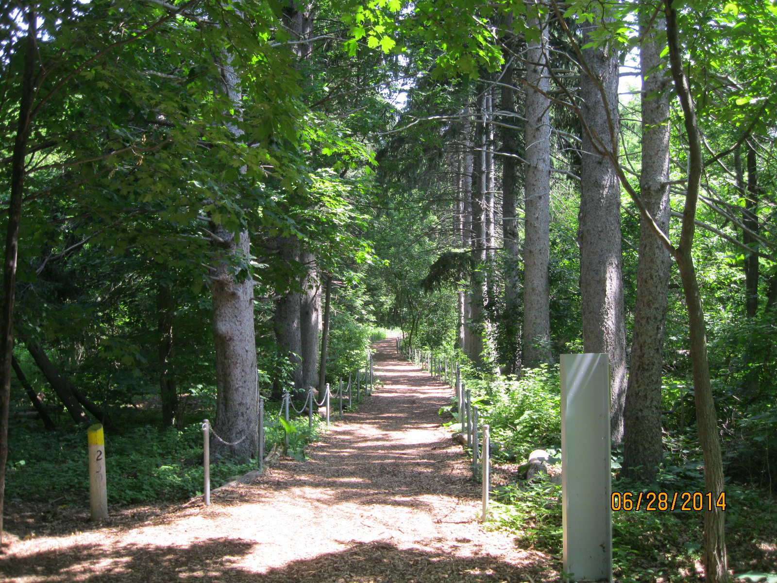
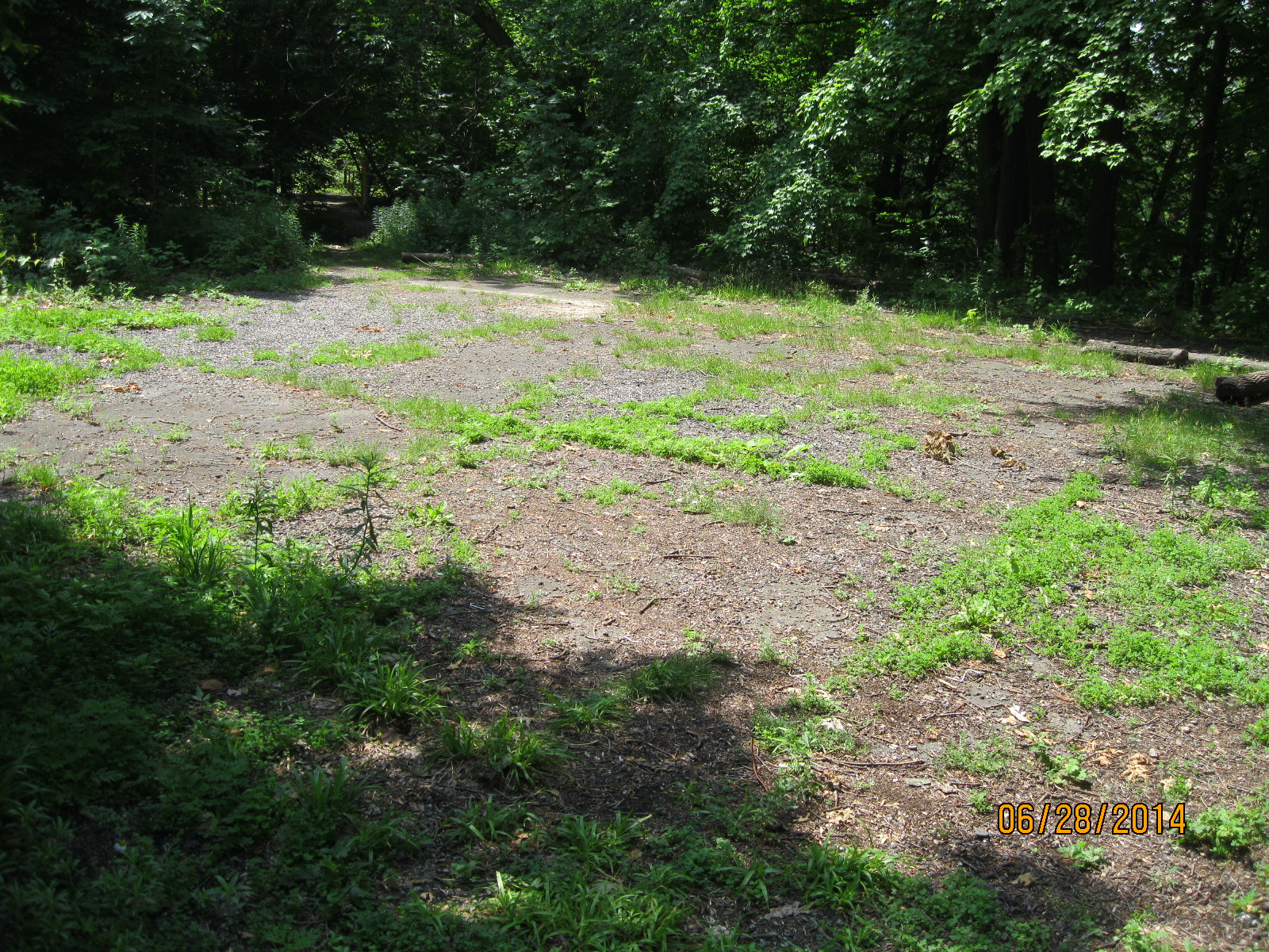
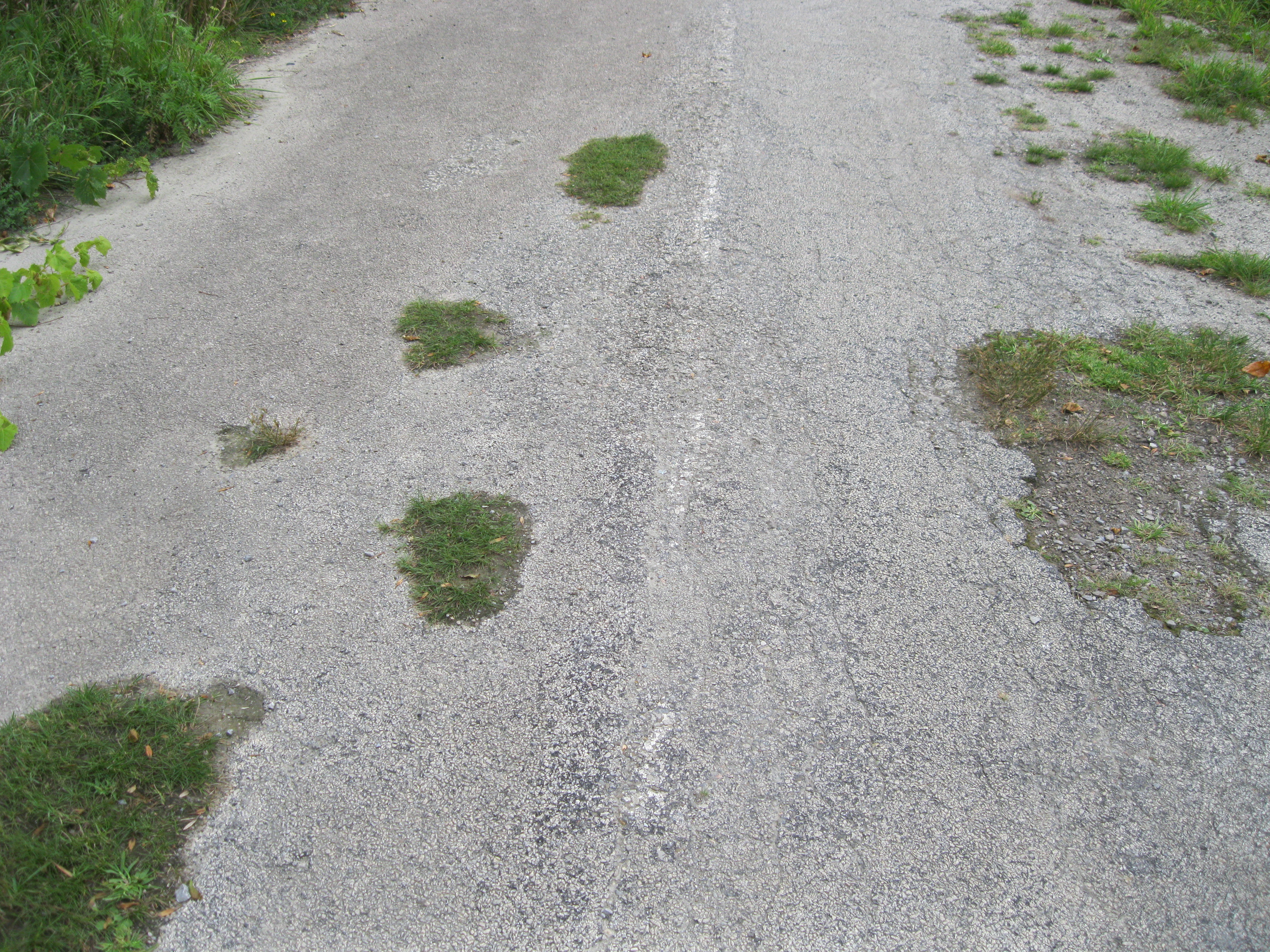
Along the way we noticed that there was a white line on the pathway.  Walking trails normally don’t have divider lines and so we suspected that this may have been used as a road at one time.  A few minutes later the roadway was lined with the remnants of a old parking lot on either side of the road.

IMG_2992

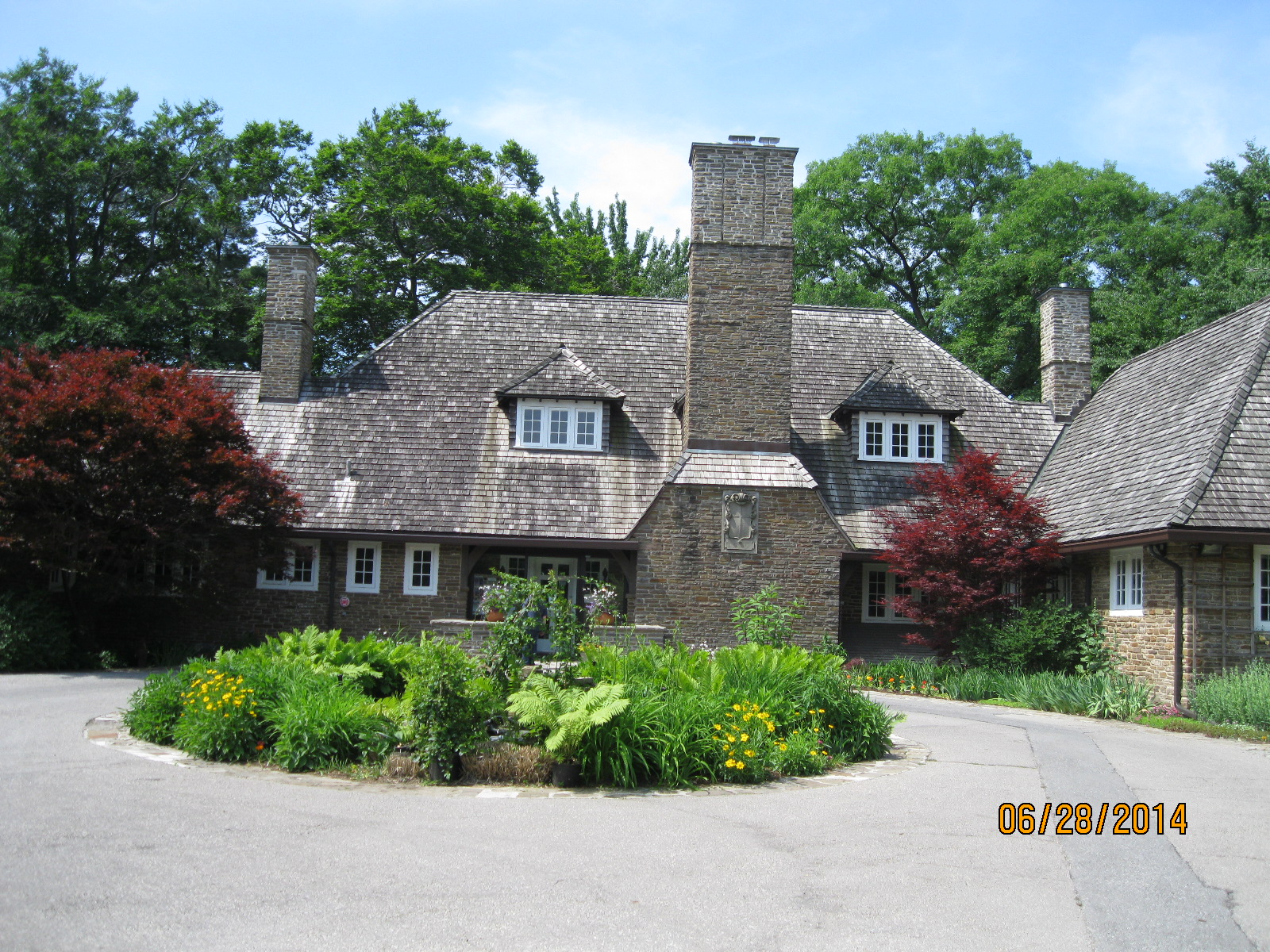
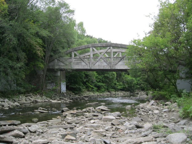
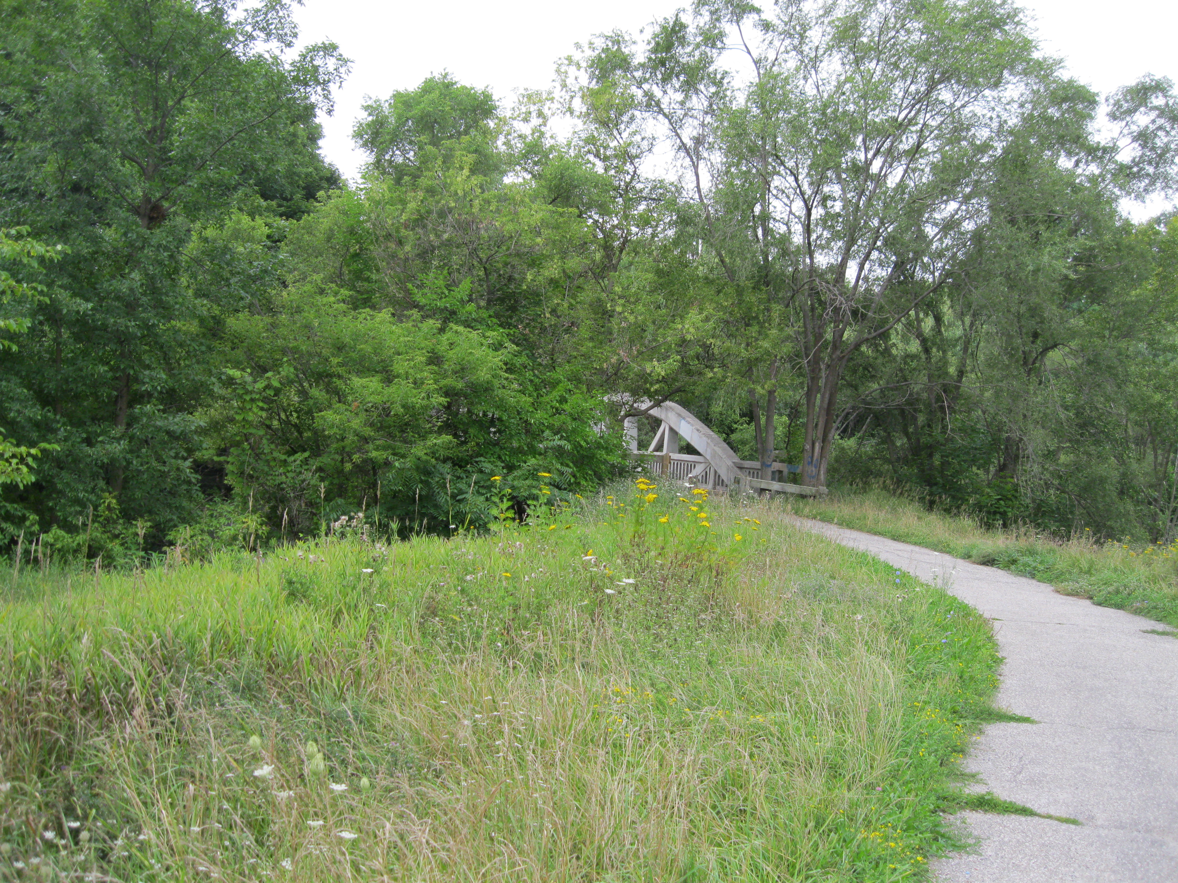
A couple of minutes later we saw the arch of an old bridge poking through the trees.  It turns out that this is called Middle Road Bridge and it was built in 1909.  It stands on the foundations of an older bridge.  Originally designed to carry people and horses it quickly became too small in the days of the automobile as it was 1 lane only.  It is the first example in Canada and only the second in North America of a reinforced concrete arch bridge.  The Middle Road was a major connection between York and Peel counties. Middle Road got it’s name from the fact that it ran in the middle between Lakeshore Blvd and Dundas Street. Prior to the Queen Elizabeth Way being completed in the late 1930’s this was a major 4 lane road running as far as Hamilton.  The portion of the old road which we had seen south of the bridge has been re-named Sherway Drive but it appears to be suffering from neglect as well.  The bridge is protected by two historical societies.  One end by Toronto and the other by Mississauga.  The cover photo shows the bridge from the western elevation.

IMG_2994

Like us at http://www.facebook.com/hikingthegta

Follow us at http://www.hikingthegta.com


Half-Mile Bridge

Tuesday, Aug. 13, 2014

Tuesday evening and a couple of hours for a rare mid-week hike.  I parked on True Davidson Drive and went down beside the bridge to the abandoned CPR tracks.  Please note that all railway right of ways are private property and we are not promoting trespassing, simply recording the local history as it exists at this point in time.

The Canadian Pacific Railroad was founded in 1880 to complete a rail line across the continent and connect the provinces in the newly formed country of Canada.  When Confederation occurred on July 1, 1867 Ontario, Quebec, New Brunswick and Nova Scotia were the first four provinces.  Manitoba joined in 1870 and B.C. was enticed to join in 1871 by the promise of a transcontinental railway which was to be built within 10 years.

When the line was built it passed through Leaside and Toronto West Junction missing the city of Toronto.  Trains had to back up 5 miles from West Junction to Union Station.  In 1888 the CPR was granted permission to build a spur line from Leaside to Union Station along the west side of the Don River.  In 1891 the first freight train ran along this track into Toronto, with passenger service starting the following year.  A bridge was built to cross the Don River Valley.  One end was near Todmorden and the other ran past The Don Valley Brickworks.  A steel trestle bridge 1100 feet long (just under a quarter mile) and 75 feet high was constructed.  The bridge picked up the nick-name “half mile bridge” early on even though it is only half of that in length.  This photo is from the early 1920’s.

DonValley-Railway-Train-1920s-Brickworks-HalfMileBridge (1)

By the late 1920’s trains were becoming heavier and a new bridge was required.  As this bridge was the route of the Toronto to Montreal train it was decided not to interrupt service.  New concrete supports were built under the existing bridge.  Then new sections of steel were assembled beside the existing bridge.  When the train left for Montreal in the morning a crane would lift an existing section of bridge out.  The new section would be lifted into place and secured before the train came back that evening.  Finally the old girders were removed.  Throughout this section of track the steel plates that the rails are mounted on all read CPR 1953 indicating the last time a major restoration was done to the tracks and ties.  The bridge remained in use until 2007 when the line was abandoned. Metrolinx now owns the line and bridge with plans to integrate it into a future system.

The picture below shows the overgrowth of just seven years.

IMG_2856

A rail line right-of-way is 200 feet wide. Steam engines would have used this track into the 1950’s and the entire strip of land would have been kept cleared of it’s trees to prevent engine sparks from starting fires.  Today, trees that are two inches across are growing right beside the rails.

IMG_2857

Some of the old electrical poles still stand along right of way, many still with short lengths of wire attached.

IMG_2864

Walking along the tracks for a few minutes brings you to the half mile bridge.  There are 4 small platforms perched along the sides of the tracks.  Buckets of water were stored here and they may also have served as places of refuge for anyone caught on the tracks when a train approached.  Today these platforms would likely just drop you 75 feet to your death. Note how small the cars appear in the photo below.

IMG_2875

The idea of walking across this bridge could be scary enough, but for some it isn’t scary at all.  They prefer to jump off the bridge as the bungee jumping ropes tied in the middle of the tracks suggest.

IMG_2879

Two thirds of the way across the bridge you come to the Don River.

IMG_2881

Looking back one can get a good view of the Don Valley Brickworks and it’s assortment of late 19th and early 20th century industrial buildings.

IMG_2889

A steel ladder is secured to the side of the bridge allowing access to a platform several feet below.  Prudence prevented me from finding out what is down there.

IMG_2885

From up here the view of the towers in the downtown core is quite spectacular.

IMG_2901

Along the way back I found one of the old concrete foundations for a signal post.  Track signals are used to inform trains of the location of other trains along the same track.

IMG_2906

This view of the train bridge, along with the cover photo, is taken from the parking lot of the old brickworks.  It has recently been renovated to become Evergreen Brick Works and is now home to a farmer’s market, bike repair and rentals and many gardens.  The old brick kilns remain on display as well.

IMG_2909

Google maps link: Half Mile Bridge

Like us at http://www.facebook.com/hikingthegta

Follow us at http://www.hikingthegta.com


Todmorden Mills

Sunday August 10, 2014

It was sunny and warm, a beautiful day for a hike.  I parked at the top end of Pottery Road in the Loblaws parking lot.  I also hiked along the old abandoned roadway of Pottery Road but that will have to be described separately due to length.

When Governor Simcoe arrived in 1793 to build his town of York (Toronto) he needed a large supply of sawn lumber.  The only other mill at the time was the King’s Mill (now Old Mill) on the Humber River.  As it was a government run mill it was unreliable and went through many changes of millers due to crazy rules that made it impossible to recoup your investment.  Simcoe brought Isaiah and Aaron Skinner in and granted them 200 acres of land in the Don River valley.  They built a sawmill in 1794 and a grist mill in 1795.  The Skinners sold the mills to Parshall Terry in 1798 and when he drowned in 1808 the mills passed to Timothy Skinner who ran them until he was killed in the war of 1812.

Terry built the older portion of the Terry House, that part at the back which was made of logs.  The front part with the two chimneys was a later addition.  Taxes were levied on the number of chimneys you had, so having three fireplaces was a luxury.

IMG_2838

This picture shows the back end of the paper mill.  The mill race ran down the left side of the mill and this is where the mill wheel would have been.  The tall chimney was added about 1900.  In the cover photo the chimney is contrasted with the urban towers of Toronto in the distance.

IMG_2817

In 1822 Colin Skinner came into a partnership with the idea of chasing a bounty for being the first paper mill in Upper Canada.  They didn’t win the bounty but did become the first mill to install paper making machinery.  Eventually the paper mills spread into three locations and became a major industry in early Toronto.  When the mills closed down they were used for awhile to stable the horses from the brick works.  Later they were the home of Whitewood’s Riding Stable.  The word “White” remains on the side of the old mill.  Also, note the old mill stone mounted on the lawn just outside the door.

IMG_2844

When the Don Valley parkway was built the Don River was re-routed so that the large curve that used to pass through Todmorden and power the mills was cut off by the berm of the highway.  The river was straightened to run along side the railway line.  The part that used to flow under the bridge still has water in it and backs up from the river down stream when there is flooding, providing some flood control.  The picture below is taken from the bridge looking east.

IMG_2829

In 1821 the mills were sold to Thomas Helliwell Sr. and John Eastwood.  Helliwell Sr. came from Todmorden in England and it is because of him that the name of Don Mills was changed to Todmorden Mills.  One of the first things Helliwell did was erect this building as the brewery and distillery.

IMG_2833

Thomas Helliwell Jr. built this house in 1837 out of bricks made from clay he dug out of the hillside behind the house.  The bricks were not baked but only sun dried and so they would crumble easily.  For this reason a protective coating of stucco was applied.

IMG_2840

The portion of the house at the rear has the notable characteristic of no windows breaking the roof line that suggests it was originally a log home.  The two story brick and stucco addition on the front was likely framed and then veneered with bricks and stucco.

IMG_2839

The old flag pole still stands on the front lawn of the Terry House.  Note the wooden cradle mount at the bottom of the pole.

IMG_2841

When Thomas Taylor died in 1880 the mills were handed over to George Taylor’s son’s who added the Don Valley Pressed Brickworks to their empire in 1891 just across the river from Todmorden.  The Don Valley Brickworks produced many of the bricks for the construction of Late Victorian Toronto.  Broken or defective bricks were dumped in the valley all around Todmorden.  The road leading to the bridge over the former Don River is made of bricks but is itself built on several feel of broken bricks.  The blue line on the bricks in the picture below shows the one time bank of the Don River.

IMG_2830

A little up stream is old Todmorden dam.  This is a very quiet place to just sit and contemplate the people who made this city out of the woods around them.

IMG_2812

The Don Station was built by the Canadian Pacific Railway in 1896 near Queen Street and the Don River.  Between 1969 and 2008 it was on display at Todmorden before being moved to it’s new home in Roundhouse Park.

Google Maps Link: Todmorden Mills

Like us at http://www.facebook.com/hikingthegta

Follow us at http://www.hikingthegta.com

Claireville

Saturday Aug. 3, 2014

It was cool, at least to start with, at only 17 degrees.  We parked in the Humberwoods Community Centre and hiked north on the west side of the Humber.  Just south of Finch Avenue is a little park that has been developed as a bird flyway.  There are dozens of nests and things to attract birds and this is a great little park for bird watchers.  In the picture below are a couple of the many odd shaped nesting places that have been constructed there.

IMG_2715

The groundhog is a member of the Marmot family and is a type of ground squirrel.  They are one of the few species that enter true hibernation and they sleep until March or April. In the wild in Ontario they are always sleeping on groundhog day, and therefore, actually never see their own shadow.  After mating in the spring the pair stays together until the young are about to be born in April or May.  The male then leaves the burrow and the parenting to the female.  She gives birth to between 2 and 6 hairless blind kits. The young groundhog below was scared of us but didn’t try to run away.

IMG_2720

It was early in the morning and the dew sparkled on the spider webs.

IMG_2728

When the 427 was built plans were already in place to expand the highway by adding lanes between the North/South lanes.  As we went under the highway we could see the supports for the expansion that were built at the same time as the rest of the bridge.

IMG_2740

Claireville Dam was one of the flood control dams built in response to the damage caused by Hurricane Hazel.  in 1959 The Plan For Flood Control and Water Conservation was released.  Since 1960 over 40,000 acres of land has been acquired and 3 of the originally proposed 15 dams have been built.  Claireville dam was the first one, built in 1964.  The dam allows the Conservation Authority to collect water from heavy rains and release it slowly after the storm has passed.

IMG_2748

Indian Line started off as an Indian trail along the shore of the Humber river.  When the land survey was made it was part of the border between Peel County and York County. When hwy 427 was extended north it became part of an off and on ramp to the highway. In 1992 when the highway was further extended it was closed off and abandoned.  Parts of it now form hwy 50 north of Steeles ave.  Indian Line campground used to be accessed from just south of the river off of this road but is now accessed off of Finch Ave.  The picture below looks up the old roadway to the bridge that crosses the CN tracks.  When this bridge was built in the 1960’s this was an important road and it was made wide enough for 4 lanes to be opened one day.

IMG_2771

Claireville was a community that started in 1850 on the estate of Jean du Petit Pont de la Haye at the intersection of Steeles and Indian Line.  He named the town after his daughter Claire.  A third road ran diagonal through the property and was originally known as Claireville Road because that was the location of the toll booth along the road.  Early roads in Ontario were known for their mud (an early nick-name for Toronto was “Muddy York”) and were covered over in planks as soon as possible.  Plank roads required continuous maintenance and this was paid for through tolls collected by the road keeper. A horse and rider would pay 1/2 pence and 20 hogs or sheep cost 1/2 pence.  A wagon was 1 pence if drawn by a single horse but 1 1/2 pence if drawn by two.  When the Claireville road was planked a toll house was established.  Of all the houses which once stood in this town only a few remain.  There is a white two story house which remains and this was originally the toll house.  Since the 1950’s the town has declined and is now mainly an industrial neighbourhood.  The picture below shows the town as it was in 1947.

Claire 2

This picture has nothing to do with this hike but is a follow-up to last week’s move.  As I was cleaning the apartment I swept deep under a baseboard heater and out popped a little round black disc.  At first it didn’t look like anything but I could see that there was some writing on it.  I placed it in Coke for a few minutes to remove some of the gunge on it.  King Christian 7 ruled Denmark from 1668 to 1808.  The 1 Skilling Danske coin I found is in poor condition but still has a value of about $10.  Thank You to the previous tenant in my unit who lost this coin.  Don’t worry, it has found a good home in my collection.  It is interesting to me that Toronto was founded in 1796 at which time this coin was already 25 years old.  I find a lot of older things out hiking, but the oldest one so far was right under my heater for the past 8 years!

IMG_2714


Hinder Property

July 26, 2014

Moving day, but still time for a short hike before we have to get serious about hiking between the apartment and the truck.  It was a cooler day and overcast.  We parked in Bathurst Park on the West Don River.

We hiked south along the river into an area known as the Hinder Property.  An extensive mountain bike trail runs through the area making use of fallen trees and boardwalks.

IMG_2677

As we hiked along the side of the Don river we found this sewer cover which commemorates a point in history for the City of North York.  The Township of North York (NYT on this cover) was incorporated on June 13, 1922 out of the rural northern parts of York County.  It became the Borough of North York in 1967 meaning that there are not too many covers made after this one that would say NYT.  North York was incorporated as a city on Valentines day 1979, leading to it’s solgan “City with a Heart”.

IMG_2681

Near this we found another cover that was nearly buried in leaves and soil.  This one is unlike any I’ve ever seen before.

IMG_2685

As mentioned in an earlier post, the province of Ontario was well known for it’s brick buildings.  Some bricks are made with three round holes that reduce the amount of clay required and improve the speed of drying.  A lot of early brick buildings are originally wooden buildings that have been veneered in brick.  The holes are then used to tie the brick skin to the building using metal straps.  This brick is unique in it’s patterned holes.

IMG_2688

Pop began to be sold in cans in the 1930’s.  The can went through several changes, an early significant one being the inclusion of a liner to protect the contents from tasting like the can.  Originally a can opener was required to pierce a hole in the top.  In 1959 the invention of a pull tab eliminated the need of an opener but created a litter problem.  This was solved in the 1970’s by the push tab where a small raised blister was pushed into the can to open it.  This exposed the finger to sharp edges and was eliminated with the “sta-tab” that continues to be popular today.  7-Up was released just two weeks before the stock market crash in 1929.  There was 7 main ingredients in the original recipe, including the mood stabilizing drug lithium citrate.  Originally it was a patented medicine marketed as a cure for hang-overs.  Unlike bottles, cans were never dated and so coming up with a date can be tricky.  In this case we can define this can as 1975, the year in which the marketing slogan was “The Un-Cola.”

IMG_2694

Climbing the hill to the clearing above brought us face to face with a dragon.  This is part of a large memorial being erected in North York Cemetery.

IMG_2701

As we arrived back at the car we passed through a double row of trees that mark an old lane way.  That was our clue to head home and start hiking the lane way into the house where my wife and I were moving.

IMG_2712

Earl Bales Park

Saturday July, 19, 2014

It was a cloudy day and at 18 degrees, a little more comfortable than last week’s swelter. We parked in the lower parking lot for Earl Bales Park off of Finch.  Climbing the hill to the west of the parking lot brings you to John Bales homestead.

John Bales came to Canada from Yorkshire, England in 1819.  He bought the lot at the south west corner of what is now Bathurst and Shepperd (Lot 15 1-W).  In 1822 he built a log house which was later covered with a combination of cement and pebbles.  A kitchen wing was added around 1850 when the family reached 10 children.  The house still stands and is listed as the 8th oldest house in Toronto.

The picture below shows John’s storey and a half house.  The term storey and an half refers to the upper floor which was tucked under the roof so you could only stand up in the middle.  Log houses reveal themselves by the fact that no upstairs windows cut the roof line of the house.  There are four logs that run around the upper rim of the house, where the lower edge of the roof rests, that tie the structure together and cannot be cut through for windows.  In the cover picture of the house you can see that windows cut the roof line on the kitchen wing which was therefore not built from logs.  In the same picture the older wing has yellow brick chimneys and the newer one has red bricks.

IMG_2574

Early wells in Ontario were dug by hand and had to be large enough to allow a man to swing a pick axe.  They were dug in depths up to 30 meters or more.  Early wells had a hand crank which wound or unwound a rope that lowered a bucket into the well.  The invention of hand pumps allowed for easier access to water but were limited in the depth of their draw to about 15 meters.  The old well and pump still exists at the front of the house.

IMG_2565

In the woods just behind the old Bales house we disturbed a rookery of American Kestrels.  Kestrels are members of the falcon family and are often confused with hawks, to which they are not related.  There were at least four of them in this small area of trees.

???????????????????????????????

The park sits on land that used to be The York Downs Golf and Country Club and the land forms still show.  Just south of the house is a memorial to the Holocaust.  The memorial includes a chimney on the right which has the names of various death camps on it.  The black wall to the left of that contains the story of the holocaust on one side and 23 panels of names of victims and their country on the other.  This is certainly the most somber place we’ve come across while hiking.

IMG_2578

We went back down the hill towards the river.  There is an area where some stuff has been thrown down the hill.  Amongst it we found this old guitar.  It was sold by Eglinton Music Centre which still exists today.  It made me think of a song by Jethro Tull called Songs From The Wood.

IMG_2589

We walked back past the car and crossed the 1962 bridge to get to the path that leads down the east side.  We took a few minutes to have a look just north of the 401 and here we found a place where a large mudslide has ripped away part of the hill.  In all my years of hiking this is the first time I have seen this.

IMG_2594

An area without larger trees at the bottom of the hill suggests the need for investigation. The foundations of a building lie here.  Another hand pump was found inside the foundation.

IMG_2602

R. McDougall & Co. in Galt was a manufacturer of heavy steel equipment from the late 1880’s until they were bought out in 1951.  They specialized in lathes, but apparently also made water pumps.  The one we found here was dated 1921.

IMG_2598

Most of the things we find along our journey were designed to last, and so they have. Today, especially in computer technology, we have something called planned obsolescence.  When a new computer is released to the market the manufacturer is already working on a newer version which replace the older one.  From massive card operated machines in the 1950’s to hand held computers, that we call phones for some reason, the change has been swift.  When Apple released it’s iMac G3 computer in 1998 it eliminated all floppy drives and introduced the USB drive which has pretty much made all other external media connections obsolete.  Even as this new technology was being introduced, the vision was already set for cloud-based file storage.  The unit pictured below is a G4 released in early 1999.

IMG_2618

If you walk through the woods on a regular basis you start to see that although plants come and go, there is always something edible in season.  From Leeks and Fiddle Heads in the early spring through to Puff Balls in late fall it’s a changing menu.  This week the Black Raspberries are just getting going, but it looks like a good crop this year (and tasty too!). Wild Ginger, pictured below is also in season now.

IMG_2624

Summerlea Park

Saturday July 12, 2014

It was another in a string of warm and sunny Saturdays.  It wasn’t very long before we were feeling the effects of the heat and humidity.  The Humber river has a west branch which meets up with the main river in Summerlea park.  We parked both vehicles here and took a brief excursion to the confluence of the two.  The water was high and dirty.

IMG-20140712-00244

There is a stretch of rocky shoreline here where we found two excellent examples of Crinoid fossils.  Crinoids are marine animals of which about 600 species exist today.  They have a mouth surrounded by feeding arms.  The arms have a mucous that captures food particles as they float past.  The picture below is a species that lives near Indonesia today.

Crinoids

The two crinoid examples below are the best we have seen so far.  The segments of the feeding arms have been particularily well preserved.

IMG-20140712-00240

We also found a very small piece of pottery about the right size to hold a small candle.

IMG-20140712-00238

We left one vehicle parked here and moved to the corner of Finch and Islington where we parked the other in Irene Risk Park.  We wanted to look for Rowntree Mills after which the park on the east side of the Humber, just north of here, is named.  We didn’t find the mill because we got side tracked and actually never looked for it.  Along the side of the ravine there is a deep set of woods with multiple steel artifacts.  As we wondered through here we saw deer in front of us. We followed their trail and ended up on the side of the hill again.

Dairy farmers used to sell their milk to local creameries and cheese factories.  They collected the milk in 17 gallon milk churns which were left on a platform at the end of the laneway.  In the 1930’s a smaller 10 gallon churn was introduced.  Creameries collected the milk and packaged it in glass bottles which were delivered directly to the home well into the 1950’s. With the improvement in processing and delivery of dairy products a lot of smaller dairy operations were bought out and closed.   A 1925 list of cheese factories and creameries in Canada lists 1600 in Ontario alone.  By 1998 there were only 270 in all of Canada.  We found the old milk churn in the cover photo which was imprinted with “Canada Dairy” “Oakland” “Toronto”.  In the 1925 directory Oakland Dairy Limited is listed as registration #419 at 108 Nassau Street, near Spadina and College.

IMG-20140712-00274

It seems like every week we are finding parts of old washing machines.  This is the wringer hood from a Kenmore Visi-Matic wringer washer.  Kenmore was the store brand sold by Sears.  Like the Thor and General Electric we found earlier, this one is from the 1950’s. There doesn’t appear to be a good reason for so many washing machines to be spread out along the Humber River valley.  Jim Gifford in his book “Hurricane Hazel” published a photograph of a washing machine that had been swept out of a home and deposited along the flood plain.  While that may explain the Thor machine, the GE and Kenmore were found well up the side of the ravine.

IMG-20140712-00278

This washing machine sold for $149.95 in 1954.

Fall 1954 944_96

The side of the ravines in Toronto are strewn with old bricks.  Some of them have a story to tell.  In 1913 the Ontario Government found clay and shale deposits on land it owned in Mimico and opened the Toronto Brick and Tile Company using labour from the Toronto Central Prison which had opened in 1874.  The plant could produce over 2 million bricks per year which were used on government buildings providing a cheap source of construction materials.  During WWII the site was converted into POW Camp 22 and housed German marines and U-boat men.  In 1969 it was closed after pressure from labour unions claiming the factory was taking jobs away from their members.  The Mimico brick below was either made by a prison inmate or a prisoner of war.

Toronto-20140712-00292

As we made our way south along the hillside we got boxed in between two fences.  There is a large assortment of old metal objects along here including an old bbq, an engine, old oil containers and car horn.  We also found an old bottle from the late 1860’s or 1870’s. Bottles from this era are dated by the seam on the side.  On this one the seam only extends to the bottom of the neck and the lip on the top was added later.

Toronto-20140712-00295

It looks like Rowntree Mills will have to wait for another day.


Pine Point Park

Saturday July 5, 2014

We parked in the Pine Point arena parking lot and walked down the hill to the river. During the winter months the long steep run makes this one of the best toboggan hills in the city.  It was 19 degrees and sunny when we set out.  The trail runs under the 401 into a small park that extends to the Weston Golf and Country Club.

Crawford-Jones Memorial Park is named after Jim Crawford and Herb Jones.  Jim Crawford was a police officer and Herb Jones a contractor in 1954.  On the night of Hurricane Hazel they took a small boat along the Humber River and rescued dozens of people stranded in their homes.  The picture below is taken from the park on the east side of the river looking at the stack on the steam plant on Resources Road.  There is a spiral staircase running up the outside of the tower.

IMG_2514

Along the edge of the river we saw a couple of dead Crayfish.  Crayfish are fresh water lobsters and live in places where the water does not freeze to the bottom in the winter.   They don’t tolerate polluted water which suggests that the Humber is pretty clean these days.  This was a larger specimen, about 10 cm long, but is missing one claw.

IMG_2506

Most of the parks we hike have evidence of a local coyote but we rarely see one.  Coyotes are related to the wolf and have become very successful in urban areas.  Coyotes hunt a variety of small animals and will even eat a crayfish if the opportunity presents itself.  The tracks below were found along the edge of the river.

IMG_2523

North of the 401 we followed the embankment on the side of the ravine.  This area is known as Pine Point Park.  Part way along we found a 1963 Pepsi bottle in an area where a lot of old bricks had been dumped.  Among several manufacturers we found Milton Bricks.  In 1877 when the Credit Valley Railway passed through the area of Milton they found a lot of clay and shale. Lot 1 Concession 1 of Esquesing Township belonged to Duncan Robertson and a large amount of Medina Shale was found here.  His son, David, started Milton Pressed Brick and Sewer Company.  Their bricks were pressed before baking and were a much higher quality brick than much of their competition.  By 1901 they were considered to be the best bricks available on the continent.  They employed 200 people at their peak but closed in 1974.  Ontario is unique in the large amount of it’s buildings which are made of bricks. In 1931 27% of Ontario buildings were built of brick while only 6% of Quebec buildings were and 2% or less in other provinces.  Ontario was rich in clay and had a huge export market for lumber which led to this trend in construction in the province.

IMG_2536

By the early 1900’s Milton Brick was publishing a catalog of beautiful brick fireplace designs that could be ordered.

fireplaces00miltuoft_0001


A little further along we found the half buried artifact that is in the cover photo.  We excavated enough to determine that it is an old hand crank broadcast seed spreader.  It is rusted right through and likely dates to the 1930’s.

IMG_2543

As we were starting downhill to make our way back we found and old set of wooden stairs on the side of the hill.  Beside here in the little ravine we found the wringer from an old General Electric washing machine. Edison General Electric Company was founded in 1889 by American inventor Thomas Edison.  Edison is credited with inventing the long lasting light bulb, phonographs and the motion picture camera among his 1,093 patents.  This washing machine likely dates from the 1940’s or early 1950’s.  Clothes would have been taken out of the washer and pressed between the two rollers to squeeze the water out of them.  This machine had a quick release handle, seen open on the right hand end, to let you get your hand out when it got caught in the rollers.  Earlier versions didn’t have this safety feature and were nick-named “manglers” for obvious reasons.

IMG_2556

The hillside trails are fully overgrown and its quite possible to walk within a few feet of something interesting and never see it.  The woods and fields are full of colour and purple is now prominent.  Asters, thistles, bellflowers and violets abound.

IMG_2519


Riverwood Part 3 – Zaichuk Property (Mississauga)

Sat. June 28, 2014

Having made our way through the Bird and Riverwood Estates we followed the trail that led up the hillside and left the main trail near the river to be hiked on our return trip.  The upper trail leads past an old red brick foundation from a house that used to stand on the crest of the hill.  John and Theodosia Zaichuck had purchased the northern lot from Ida Parker in the 1940’s and this would have been one of their buildings.  As you near the crest of the hill you pass a small pond on the side of the hill.  When you cross the open field on the trail you will be following the track of an old horse raceway.

Just around the first curve you come to the remains of an old baling machine.  Around 1940 the first machines were made that tied up a bale of hay.  The machine has a set of rakes that collect the dried hay and packed it into a cube.  The cube is tied with two strings and cut into lengths called bales.  Each bale could weigh 70 – 100 lbs.  These were manually stacked into mountains in barns for use by horses, cows and sheep during winter.

IMG_2413

We found a Massey Ferguson Logo and the number 9 on one side of the baler.  Massey Ferguson is an international company today, but it had it’s origin just east of Toronto in Newcastle.  In 1847 Daniel Massey opened a simple shop to make farm equipment.  Hart Massey took over his father Daniel’s business in 1855.  He moved it from Newcastle to Toronto where he competed with Alanson Harris.  He merged with Harris in 1891 creating Massey Harris.  Hart wanted to give back to the city and he did so by creating Hart House for U of T students.  He also purchased a lot at Shuter and Victoria streets to create an auditorium for the citizens of Toronto.  Massey Hall opened on June 14, 1894.

Another merger, this in 1953 with Harry Ferguson of England, created what would become Massey Ferguson in 1958.

IMG_2410

The MF 9 bailer was sold in 1970 and shared an owner’s manual with the MF 12.  In the manual’s cover picture below the hay is being thrown onto a wagon.  The wagon in the cover photo for the previous hike on Riverwood Estate may have been an earlier version of a hay wagon.

MF 9

The old orchard that runs down the middle of the field attracts deer in the fall who come to enjoy the fruit.  There are several pieces of farm equipment scattered around the Zaichuk property.  A few in the field and many more in the woods on the south end of the field.  The Tiller featured in the cover photo is near the old orchard.  At the west end of the orchard a tangle of grape vines conceals a manure spreader.  Animal manure was saved up to be spread on the fields every year to replace the nutrients in the soil and improve crops.  The auger took the manure and threw it over quite a wide distance.  I remember driving along country roads as a child and seeing these machines at work.  You didn’t pass a field when the farmer was fertilizing it with the car windows rolled down.

IMG_2418

Walk back across the field toward the large willow at the south end.  Behind the willow you will find the basement from an older building  This was a small barn or a perhaps a house.

IMG_2422

The trees to the east of this foundation contain a large field of garbage.  There are a lot of broken soda bottles here from the 40’s to the 60’s.  A decade ago over 50 intact specimens were rescued from a possible similar fate.  These include a near perfect 1959 Hires Root Beer, a 1954 Wishing Well and a 1959 Canada Dry.  There is also a large amount of household garbage, including the kitchen sink.  This 1960’s gas can looked like it has seen better days.

IMG_2424

The remains of a transplanter lay in the edge of the woods. The water tank is mostly rusted away but the frame is still intact. Seedlings were fed into the machine from trays in front of the operators.  A couple of decades ago these various pieces of equipment were still mostly intact and could have easily been used for an interpretive display of mid-century farming methods.

IMG_2432

The picture below shows an early transplanter.

AA421222-2EC9-4B4D-8D6D-56FD42148AD0
There are many other things to be seen in the south woods, including parts of an old truck and an old refrigerator.  This area is best explored in late April to mid May before the leaves are out if you are interested in finding some of the many artifacts that are strewn about.

Milkweed grows in patches throughout the Zaichuk property and also on the Bird property.  This weed has been in decline due to the use of herbicides, to which it is particularly sensitive.  Monarch Butterfly larva live on milkweeds and the decline in the plant has been matched with one in the butterfly.

IMG_2409

There is a paved pathway that follows the river and will lead back to the parking lot.

Like us at http://www.facebook.com/hikingthegta

Riverwood Part 2 – Riverwood Estate (Mississauga)

Sat. Jun. 28, 2014

Having begun in the lower parking lot off of Burnhamthorpe we had made our way through the Bird property and arrived at the double row of pine trees that mark an old driveway.

In 1833 Peter McDougall acquired 200 acres of land as  a crown grant.  The property changed owners a few times until 150 acres of it was purchased in 1913 by W. R. Percy and Ida Parker. In 1914 they built a stone cottage on the top of the hill and used it in the summer to get away from their home in Toronto.  The lane way leads up the side of the ravine to the cottage.

IMG_2472

Climbing the lane you come to the stone cottage.  It was built on the foundations of a previous building near an existing barn.  In the 1930’s Ida Parker sold the lower parcel of land, including the stone cottage, to her daughter Margaret MacEwan. The cottage was expanded in the 1950’s with the intention of matching the style of the earlier piece.  It was quite well done and the part of the cottage below that looked like the older was in fact the newer part.  I have read in one place that this may be the pickle factory put to a new use.

IMG_2454

The barn dates to 1865 and is a remnant of the early farming on the property.  Although it has been re-clad with new exterior boards, the interior still contains the original timber frame.

IMG_2455

In 1918 Percy commissioned the building of a new home on the property to be called Riverwood.  It was built of stone which was hauled up from the river on the lane way past the stone cottage. The main part of the building, behind the grand fireplace, was a large party room.  Several Canadian Prime Ministers are said to have frequented the home. William Lyon Mackenzie King visited  here often during his 22 years as Prime Minister.  This was also one of the first homes in Toronto Township to have electricity.  Along the front driveway sits an old wagon, featured in the cover shot.

IMG_2462

This stone cistern was originally used to hold water that was pumped up from the Credit River.

IMG_2464

Riverwood sits on a point of land between two small ravines.  Chappell ravine on the north side and on the south, MacEwan ravine.  When the house was built a swimming pool was built on the MacEwan ravine.  The sides and front of the pool are lined with concrete and a set of stairs is built into the south corner.  When it was built it was the first swimming pool in what is now the city of Mississauga.  It was cold and hard to keep clean so it was eventually abandoned and a new pool was built on the front lawn.

IMG_2446

The pool is accessible by a stone walkway from the back yard of the house.  The walkway passes in front of the pool and leads to the tennis court beyond.  In the 1920’s it was very fashionable to have your own tennis court and no estate was complete without one.  It is said that Prime Minister Pierre Elliot Trudeau played tennis here.  Careful examination can still reveal some of the white lines on the court surface.

IMG_2467

If you return to the main trail near the pine trees that mark the old lane way you can make your way further north in the park.  Soon you will come to this old set of stone stairs. Even with some missing, there is still over 100 steps on the hill side.  These will take you back up to the back yard of Riverwood.

IMG_2443

Percy lost his fortune in the stock market crash of 1929 and died in 1931.  Ida Parker struggled after this and sold off the property in three pieces.  She sold the southern portion to her daughter in the late 1930’s.  In the 1940’s she sold the northern farm lot to John and Theodosia Zaichuk.  (We’ll visit that property in Riverwood part 3).  Finally she sold Riverwood itself to Hyliard Chappell in 1954.  Chappell was the federal Liberal MP from 1968 to 1972, serving in Trudeau’s government.  It was likely during this time that Trudeau visited what was then known as Chappell House.

A summary of our 15 top hikes is presented here.

Google Maps link: Riverwood Park

Like us at http://www.facebook.com/hikingthegta

Follow us at http://www.hikingthegta.com