Category Archives: Don River

Old Post Road

Sunday August 30, 2015

Post Road runs through the most affluent neighbourhood in Canada and ends in it’s first planned community.  Between the two, the road is broken by Wilket Creek where there is no bridge crossing.  I had time for a short hike while my wife was sleeping off a stomach illness.

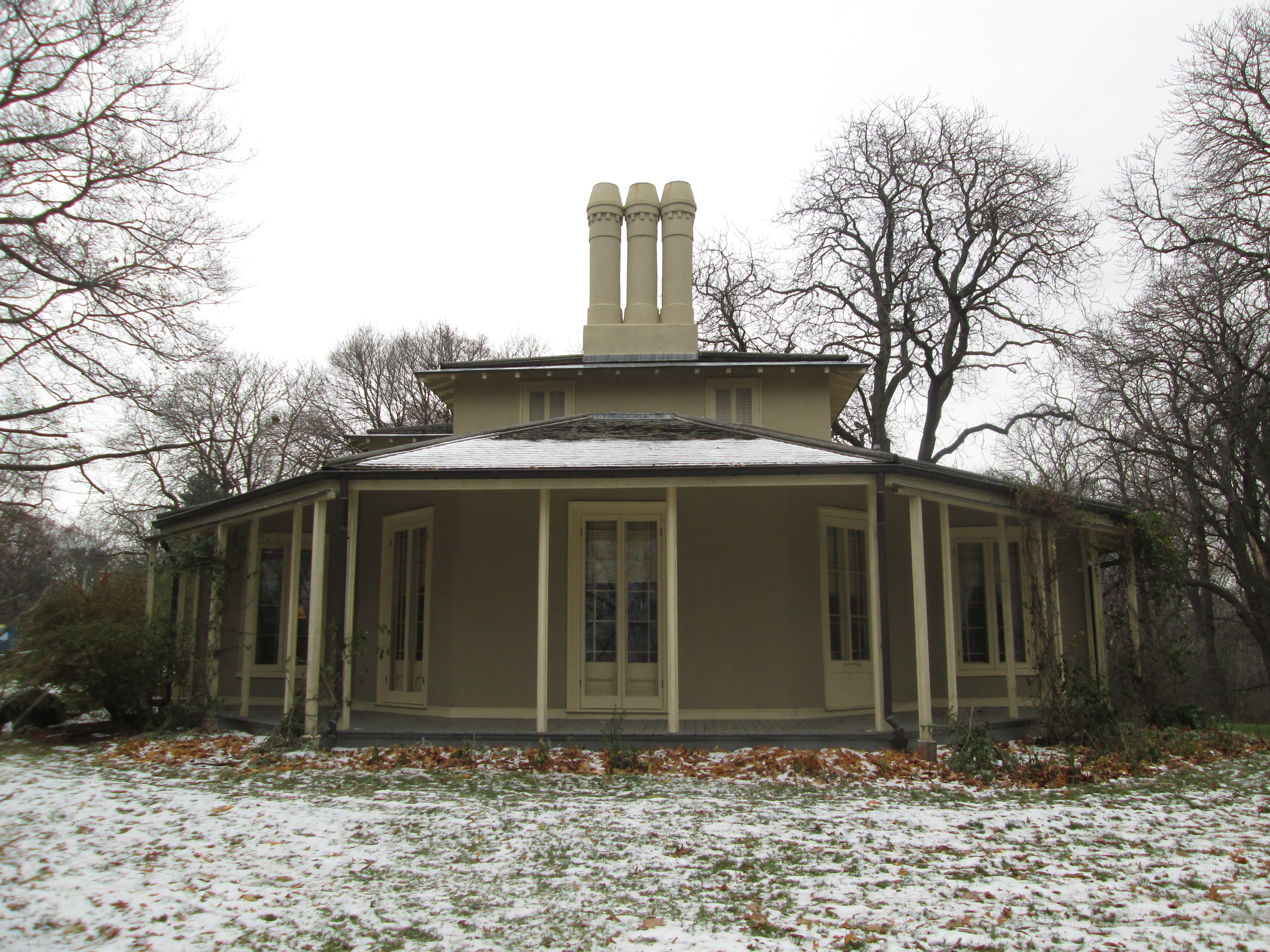
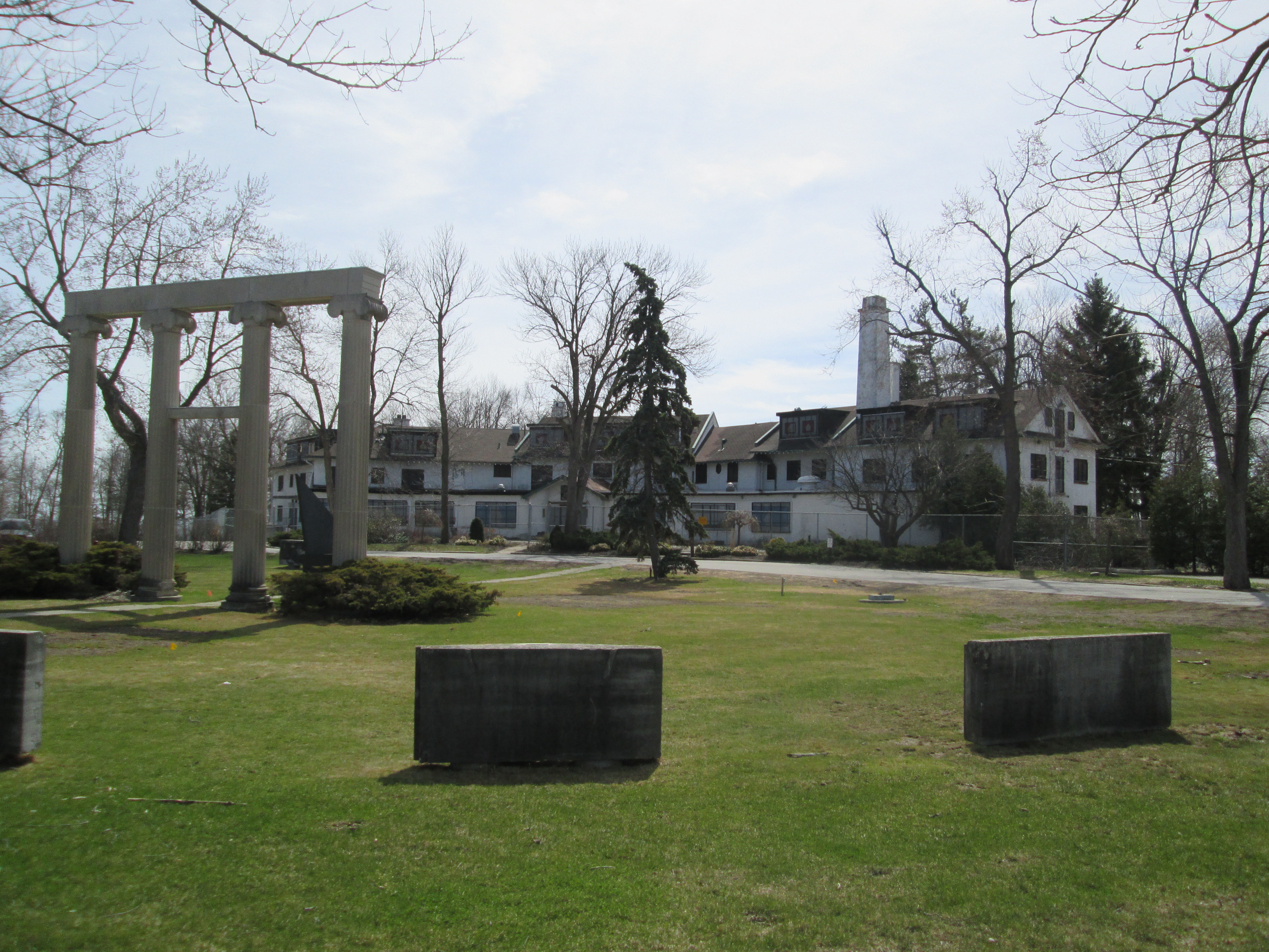
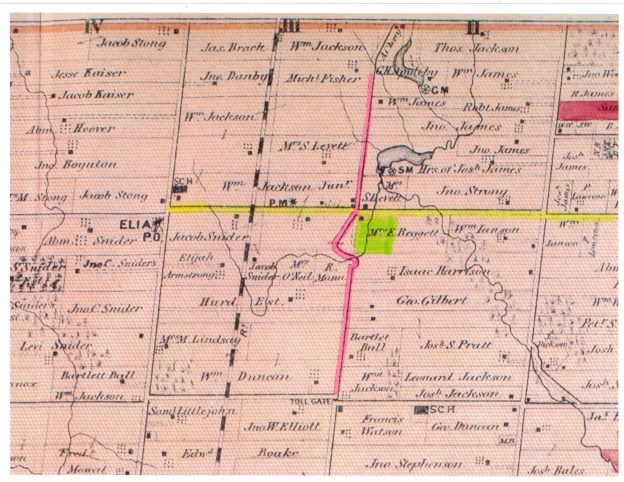
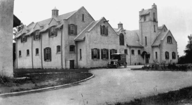
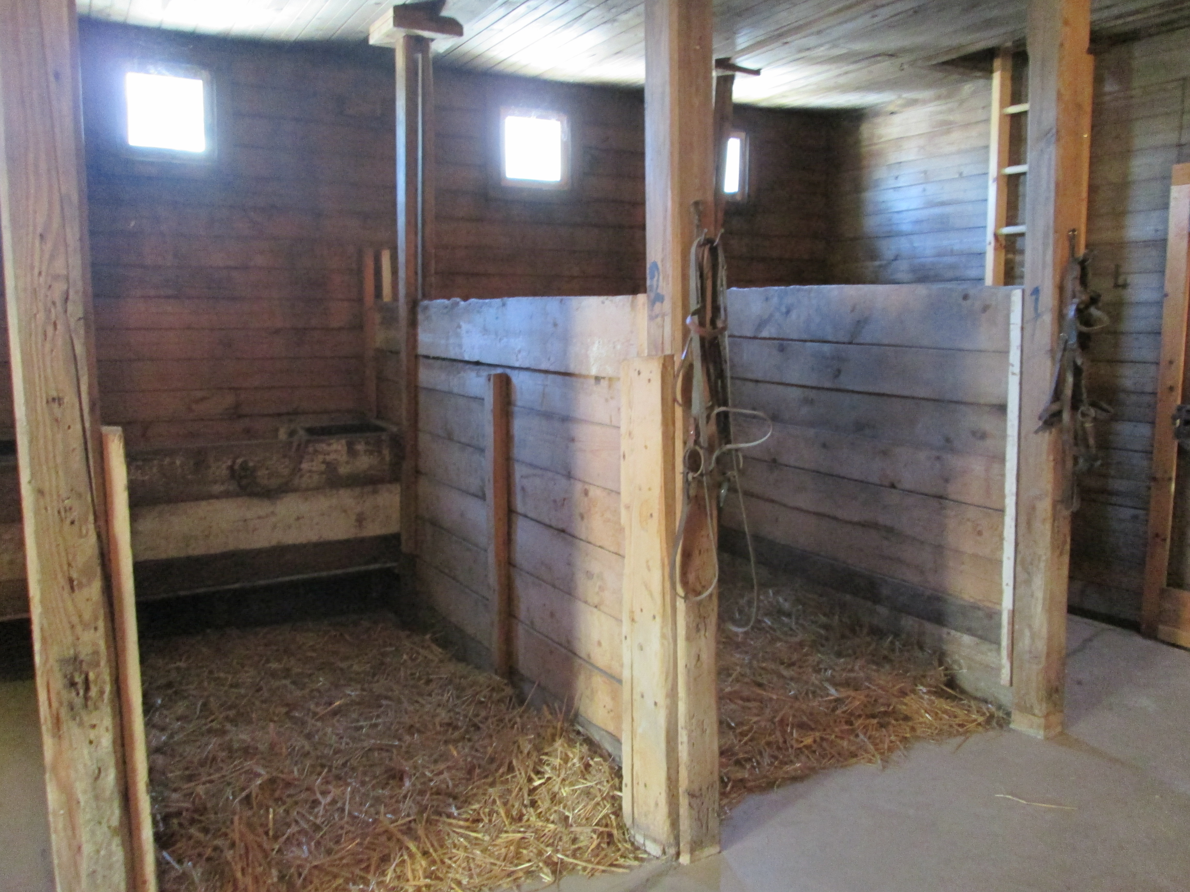
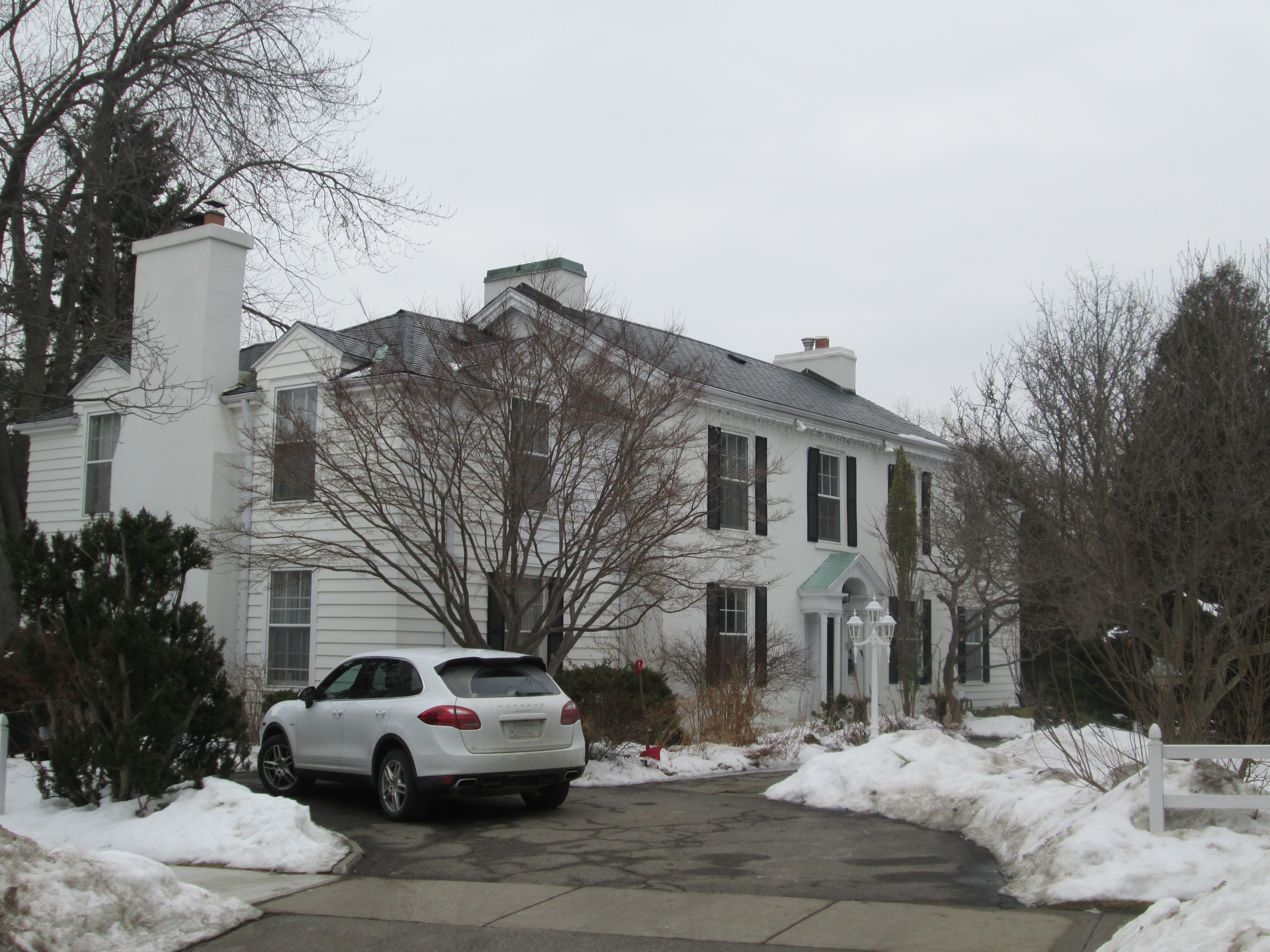
At the start of the 20th century the area of Bayview and Lawrence was becoming home to some of Toronto’s wealthiest people.  They started to build grand estates complete with horse stables for their riding pleasure.  We previously looked at some of these old homes in Bayview Estates.  In 1929 the bridge over the West Don River at Lawrence Avenue was rebuilt but the area north of it was still rolling farm land.  The area we now call The Bridle Path was marked by horse trails and was seen as a good place for an exclusive enclave of grand homes because of it’s limited road access.  In 1937 E. P. Taylor, who had designed Canada’s first planned community in Don Mills, bought a large plot of land north of the Bridle Path for his estate.  His wife named it Windfields and today it is owned by the Canadian Film Centre.  The park behind the estate is known as Windfields park.  George Black was partners with Taylor and he built the home on Park Lane Circle where he raised Conrad Black.  To keep the neighbourhood to the wealthy a North York by-law was passed requiring single family homes on a minimum two acre lot size. The streets in the neighbourhood take their names from horse racing and Post Road is the most northerly road in the Bridle Path and thus represents the post position, or starting position for the community.

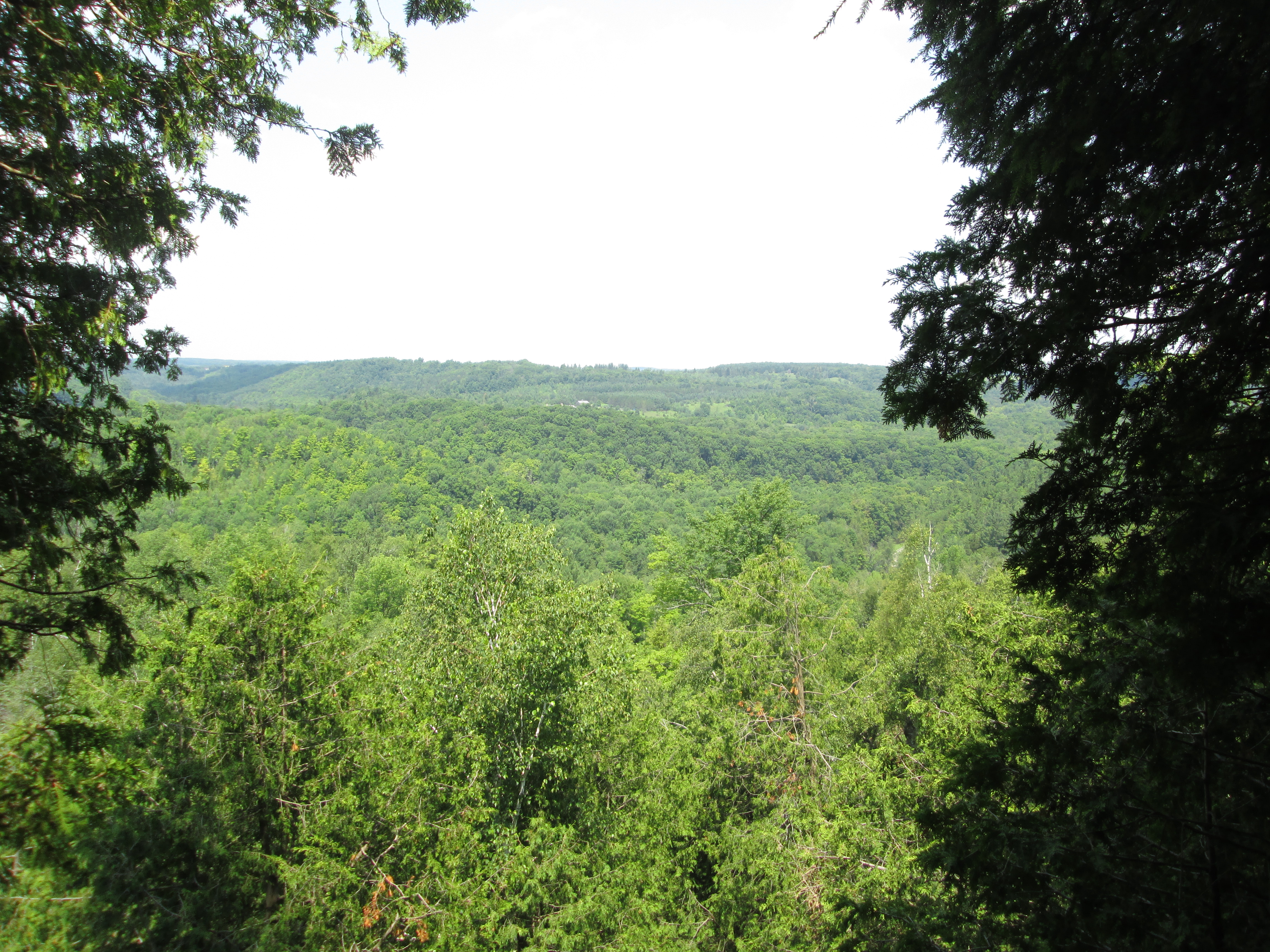
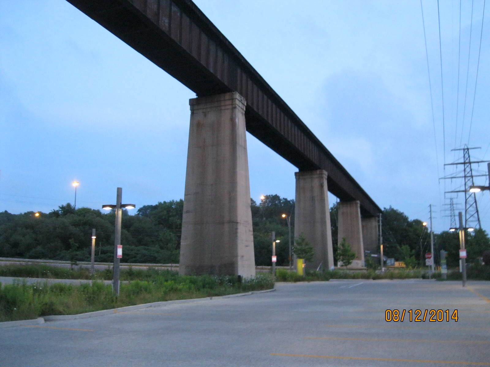
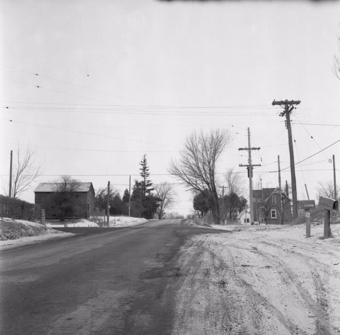
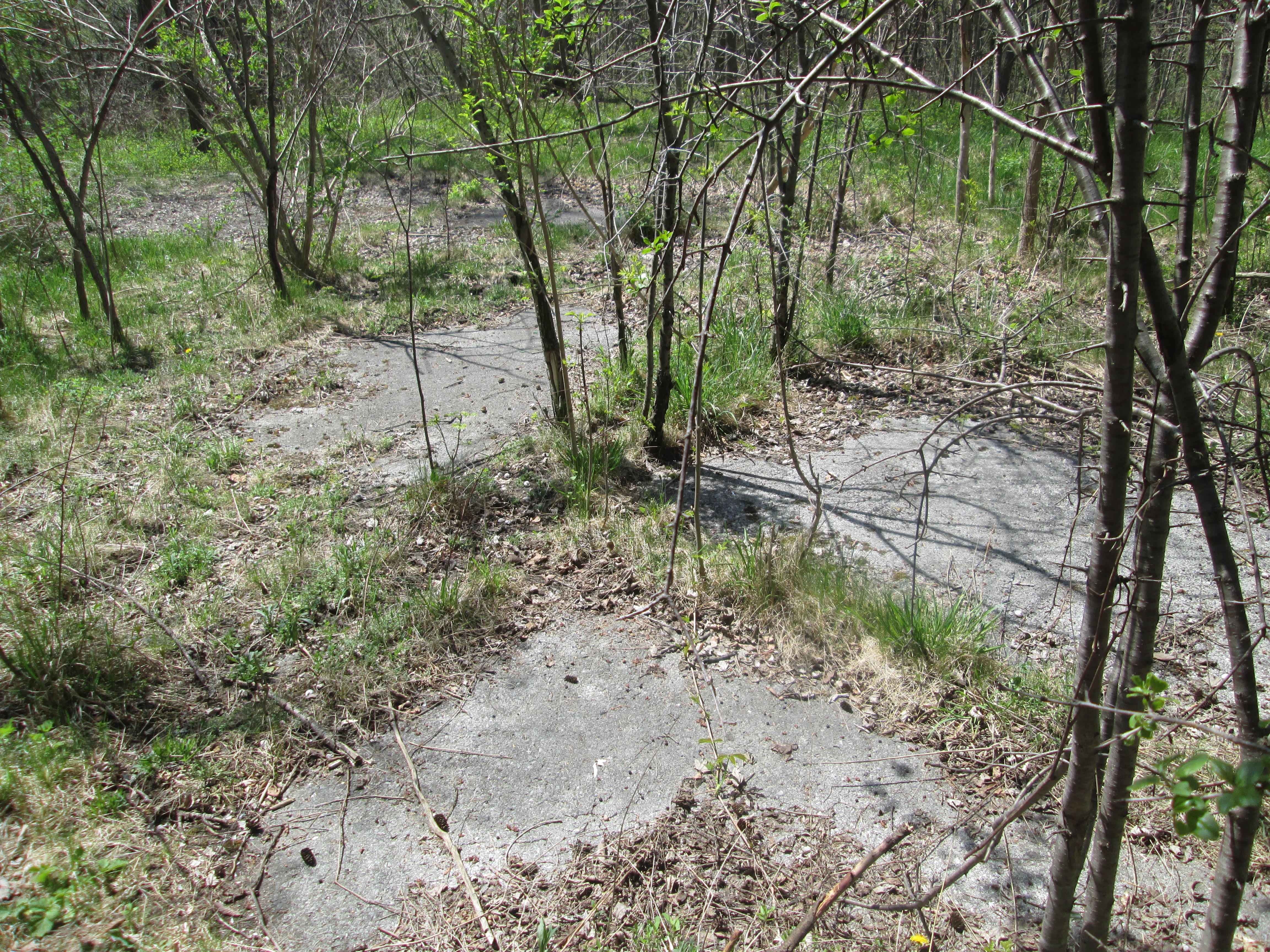
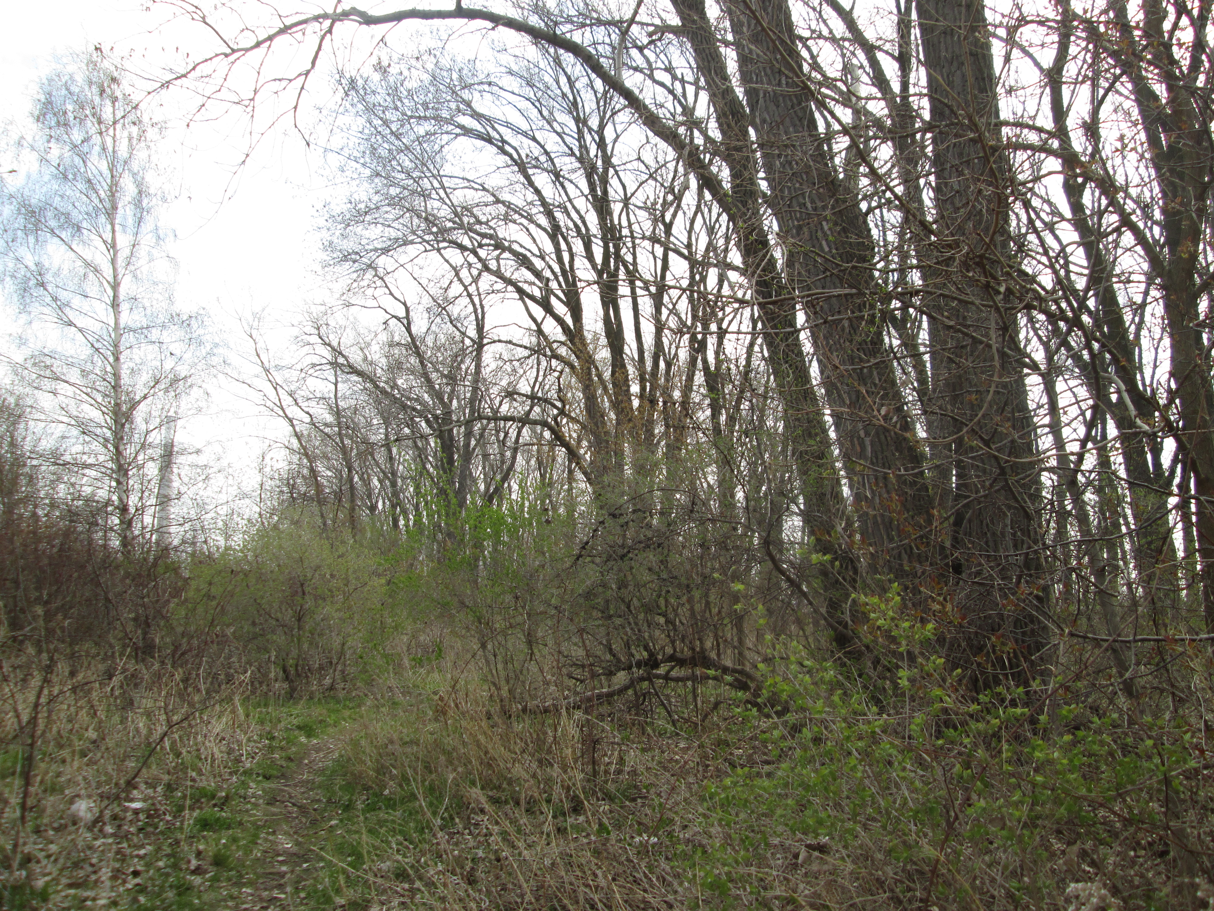
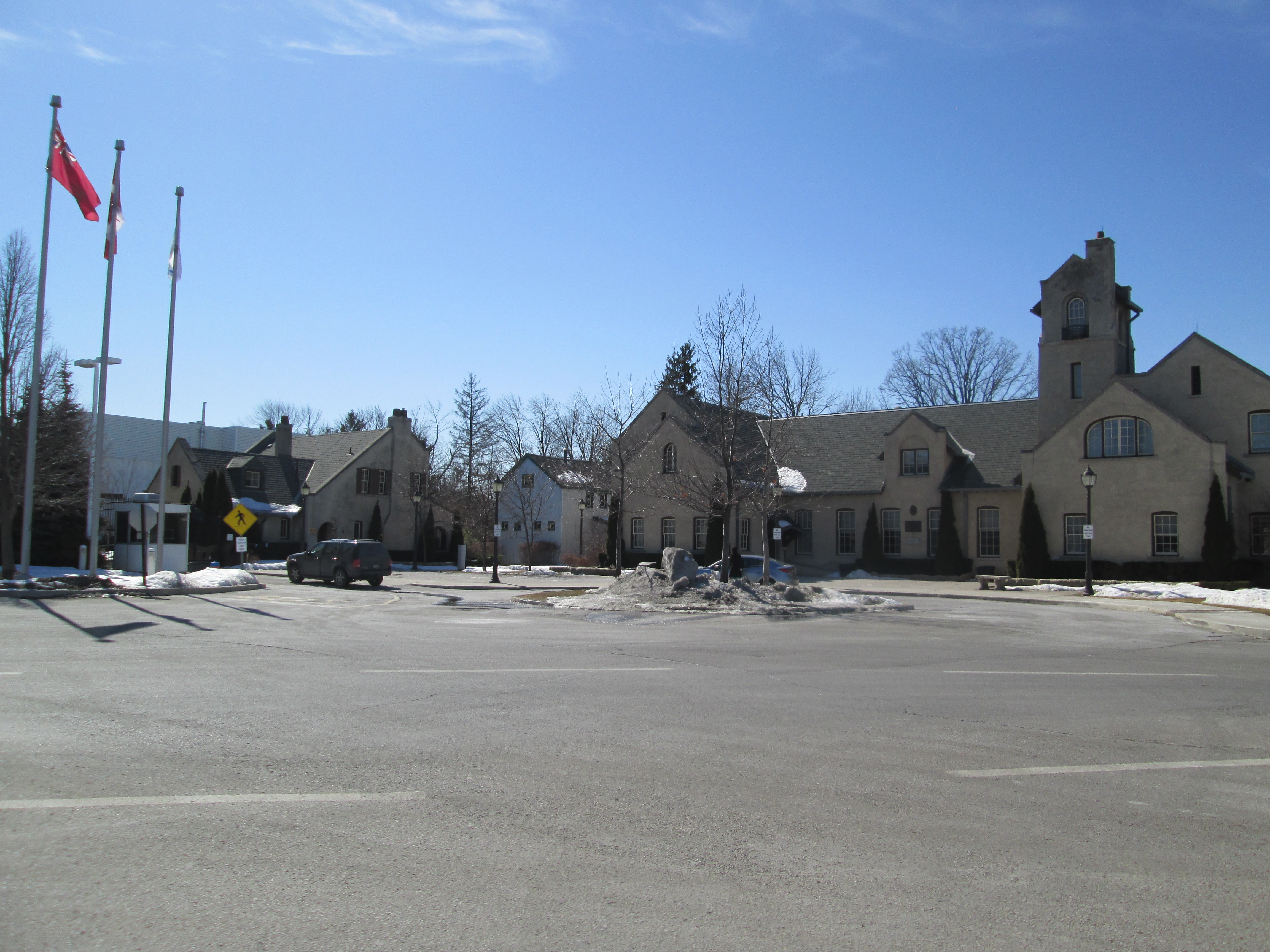
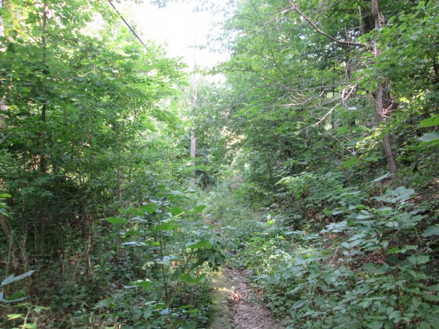
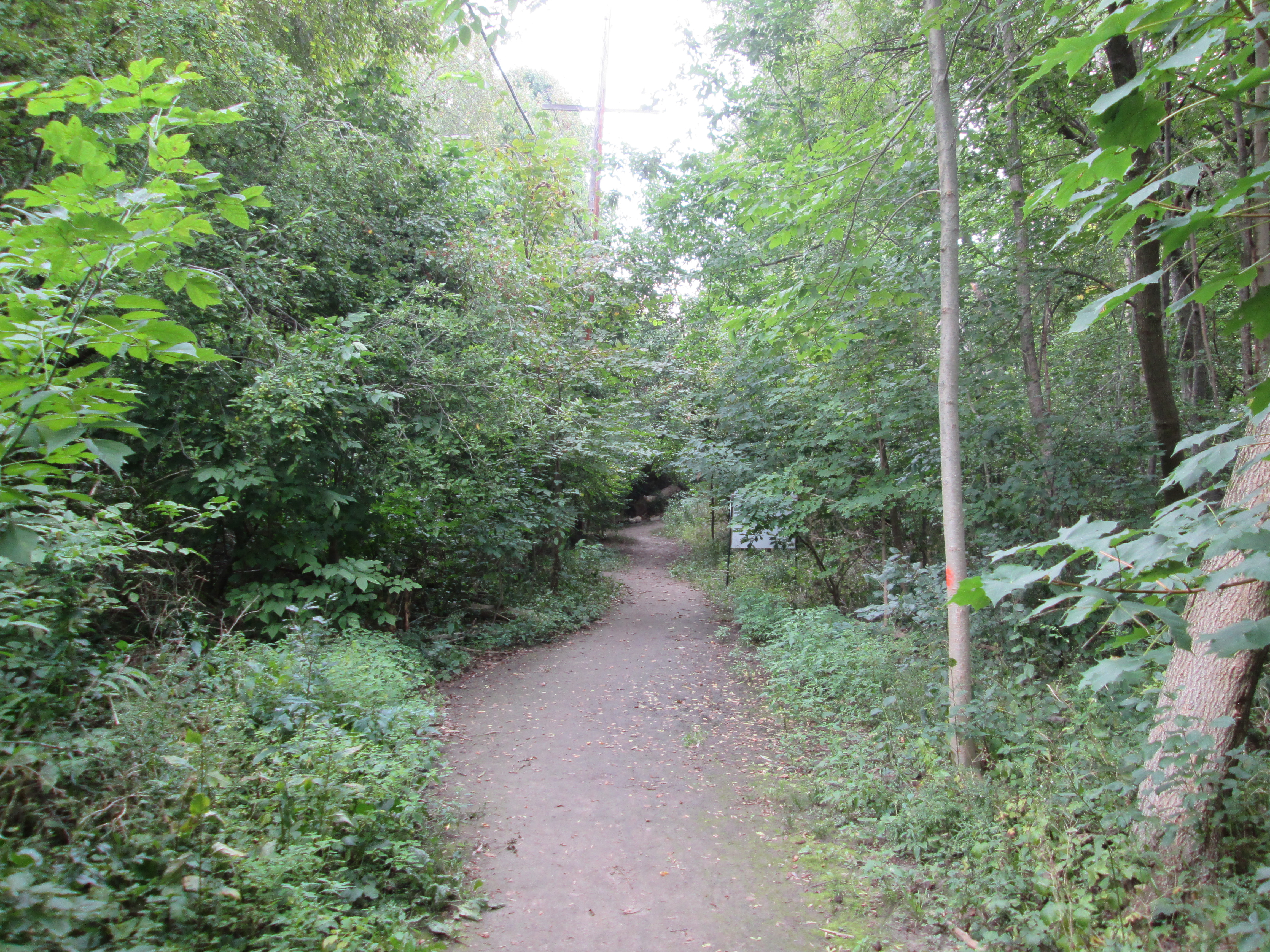
Post road runs for about 700 metres east from Bayview Avenue through an area where there are only half a dozen homes.  This picture looks from where the paved portion of Post Road ends, east toward Wilket Creek.  You can park here for free.  The cover photo is taken from part way down the old roadway where a hydro line is visible passing through the new growth.

IMG_7927

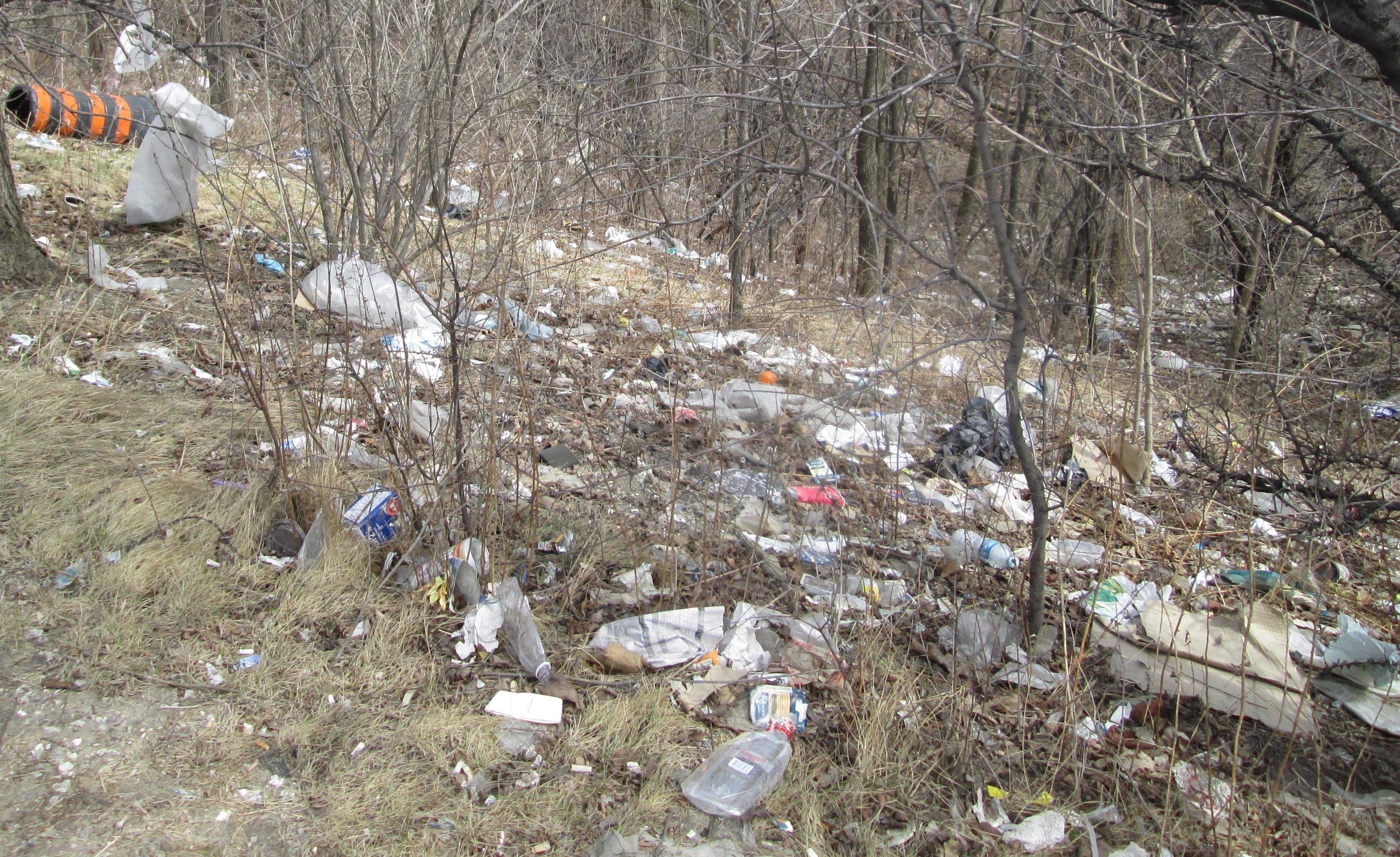
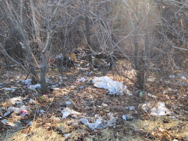
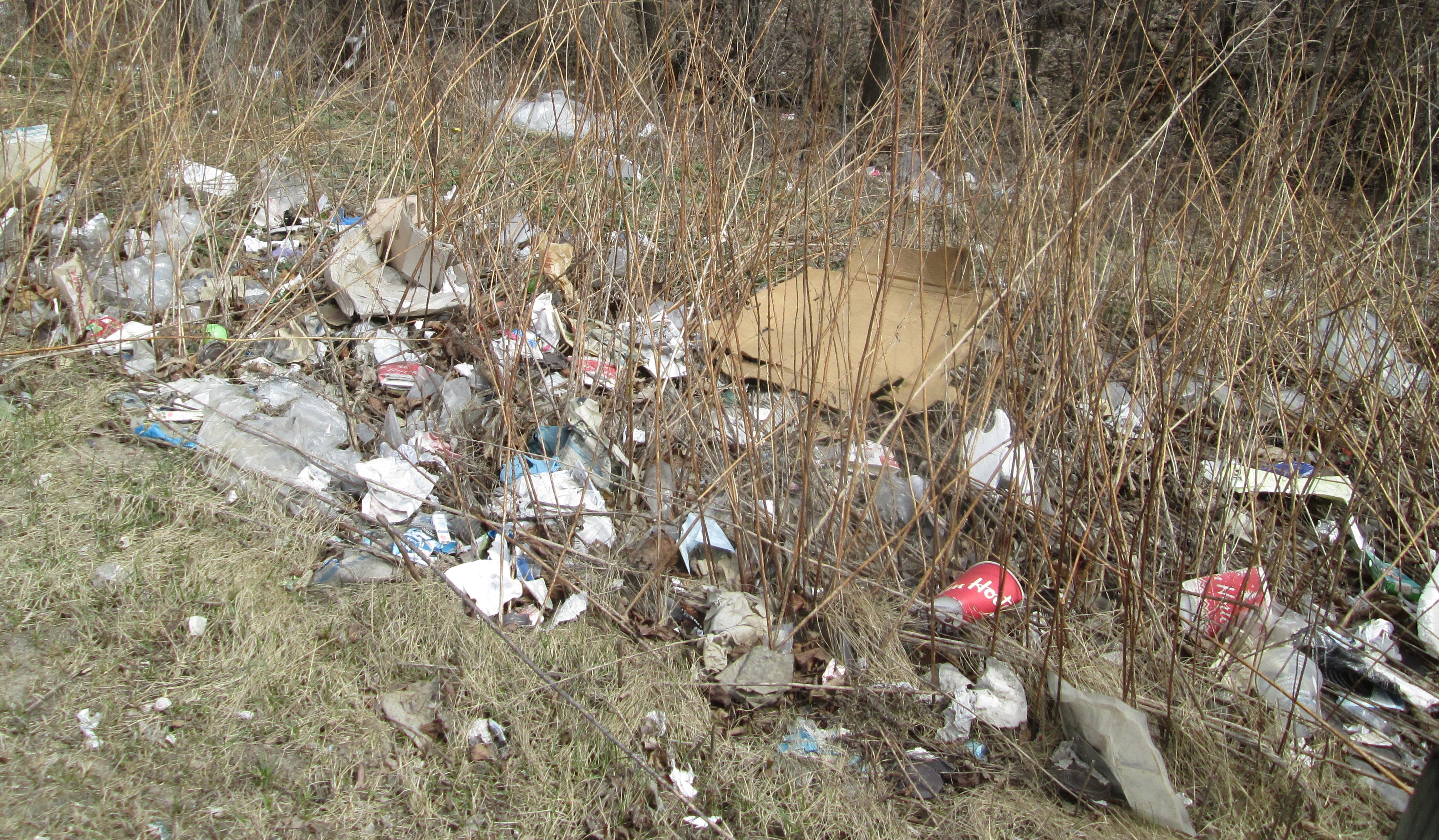
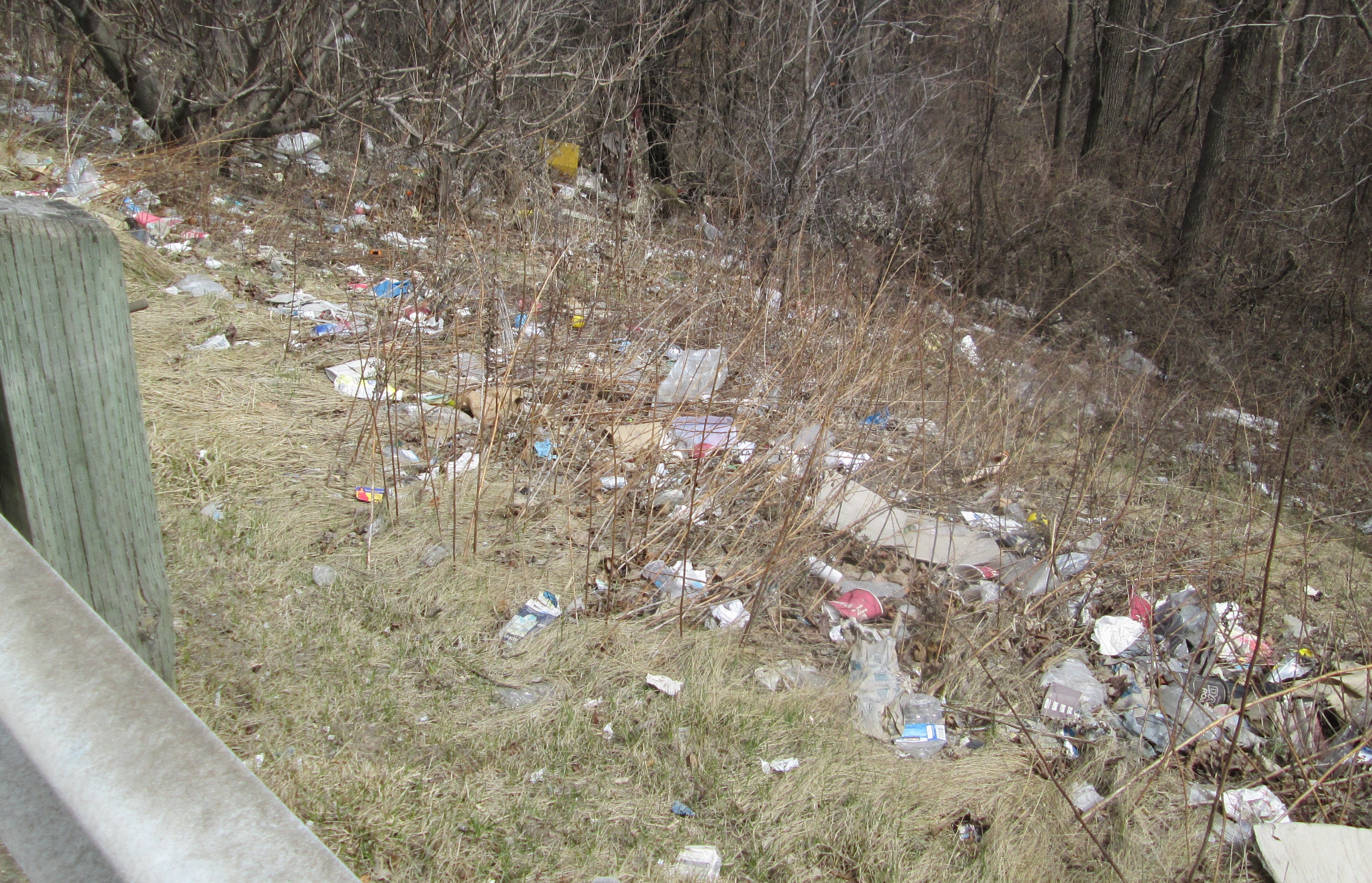
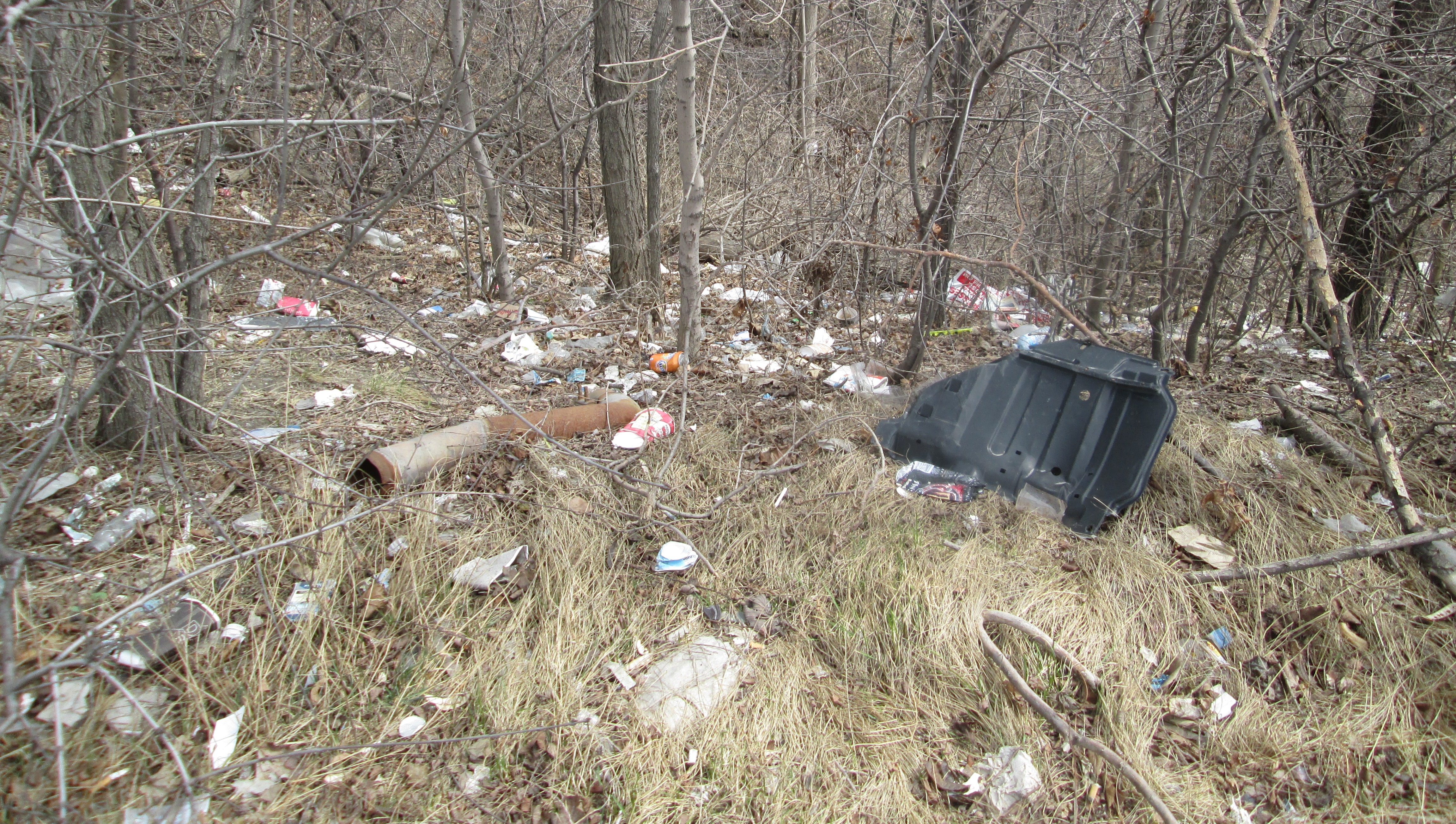
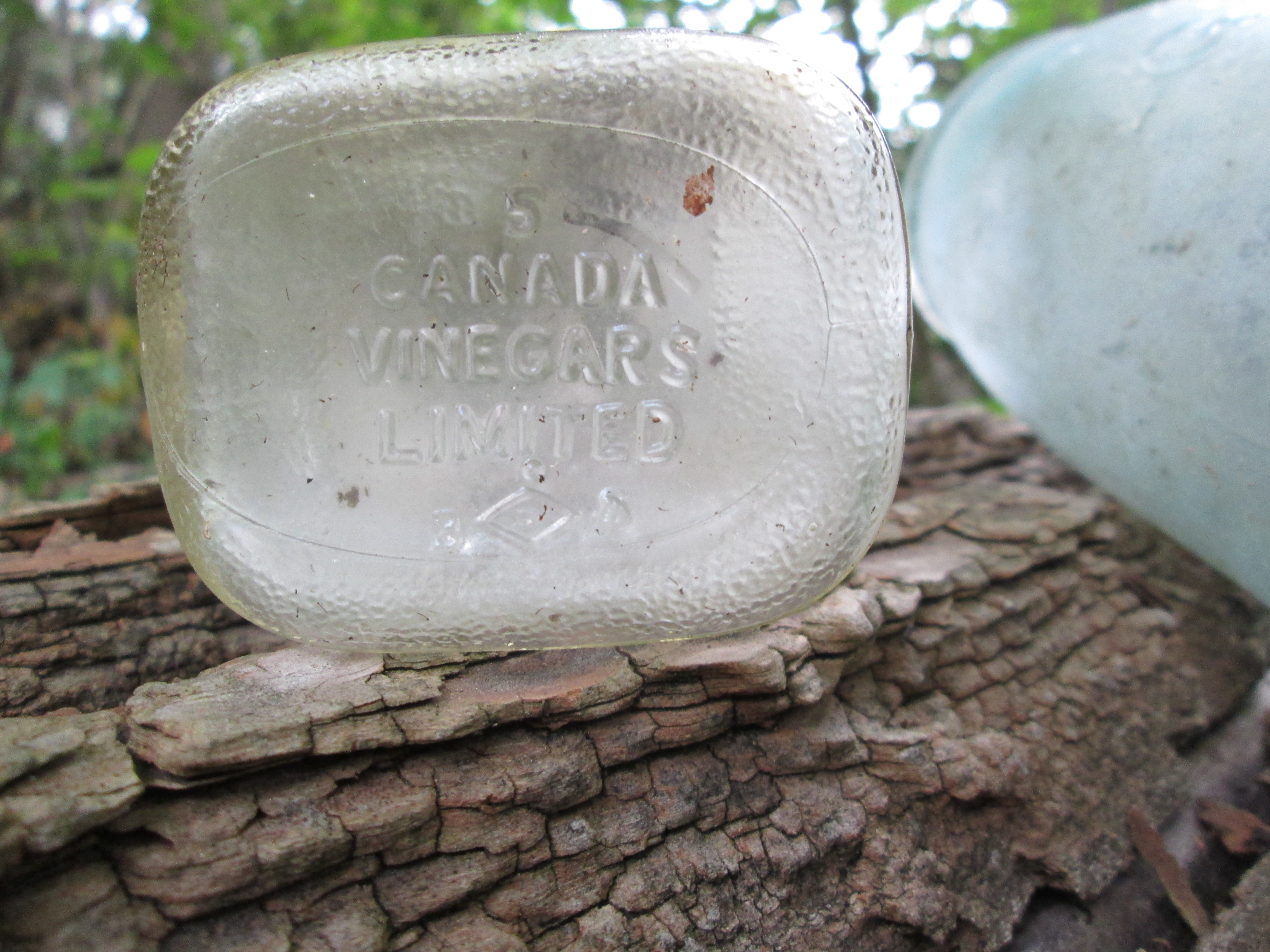
There is only a little trail left of the roadway where it descends the hill toward the creek.  As is common with many closed portions of road there is always someone who thinks they should be used as dumps.  The west end of Post Road has it’s little caches of trashes.  I found a vinegar bottle from 1958 indicating that the trash was dumped after the development of the area had been well under way.  Canada Vinegars Limited was once the largest manufacturer of vinegar in North America.  They were located at 112 Duke street (now Adelaide) not to far from Toronto’s first post office.

IMG_7722

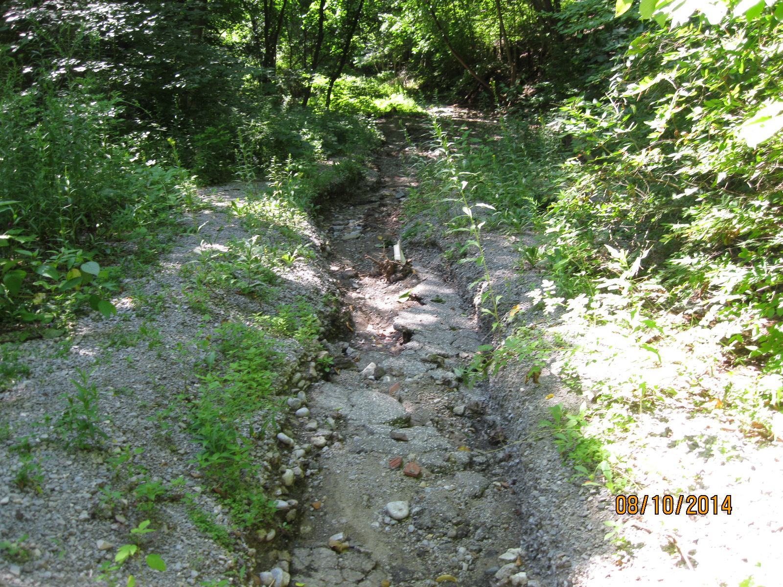
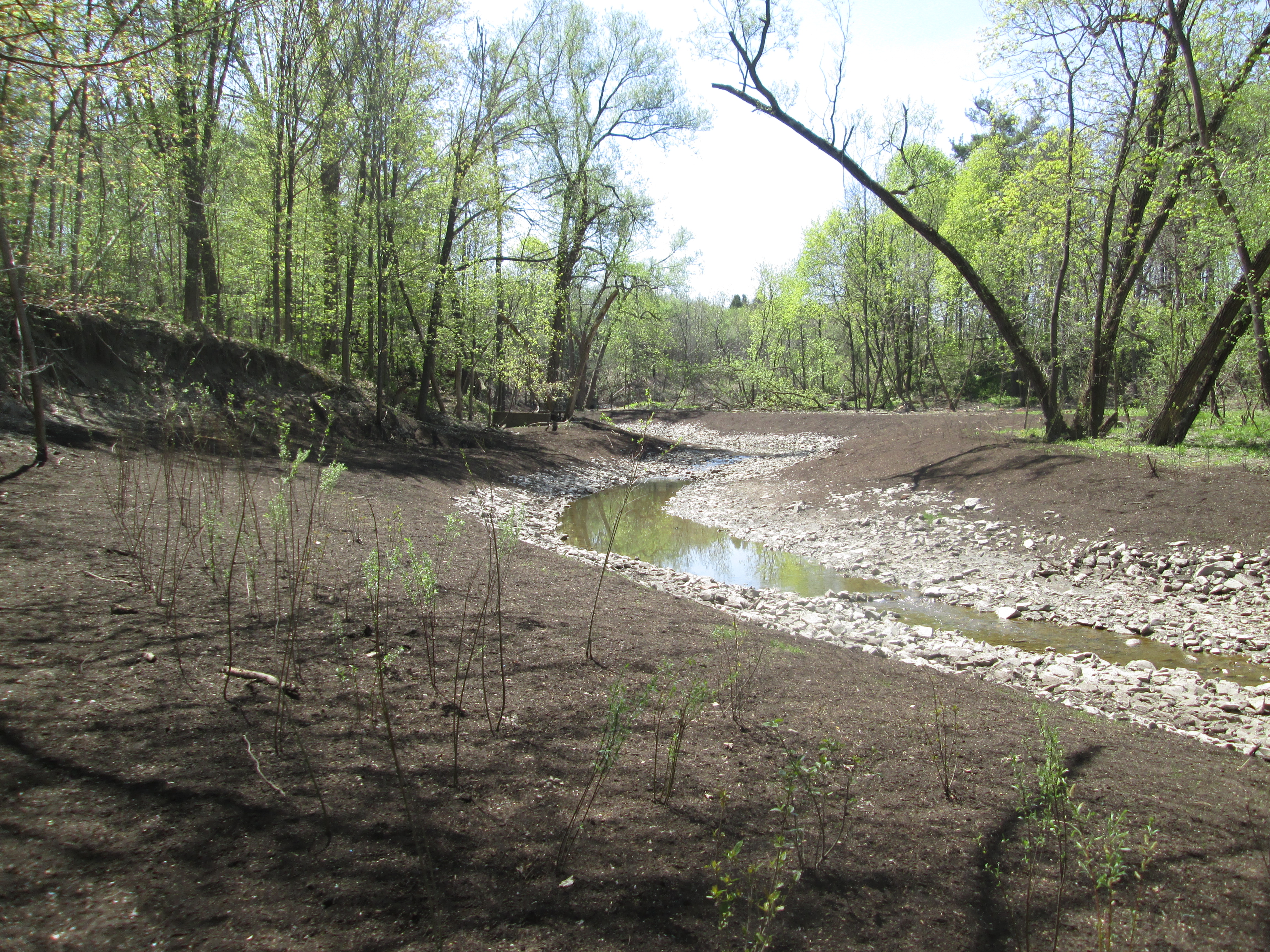
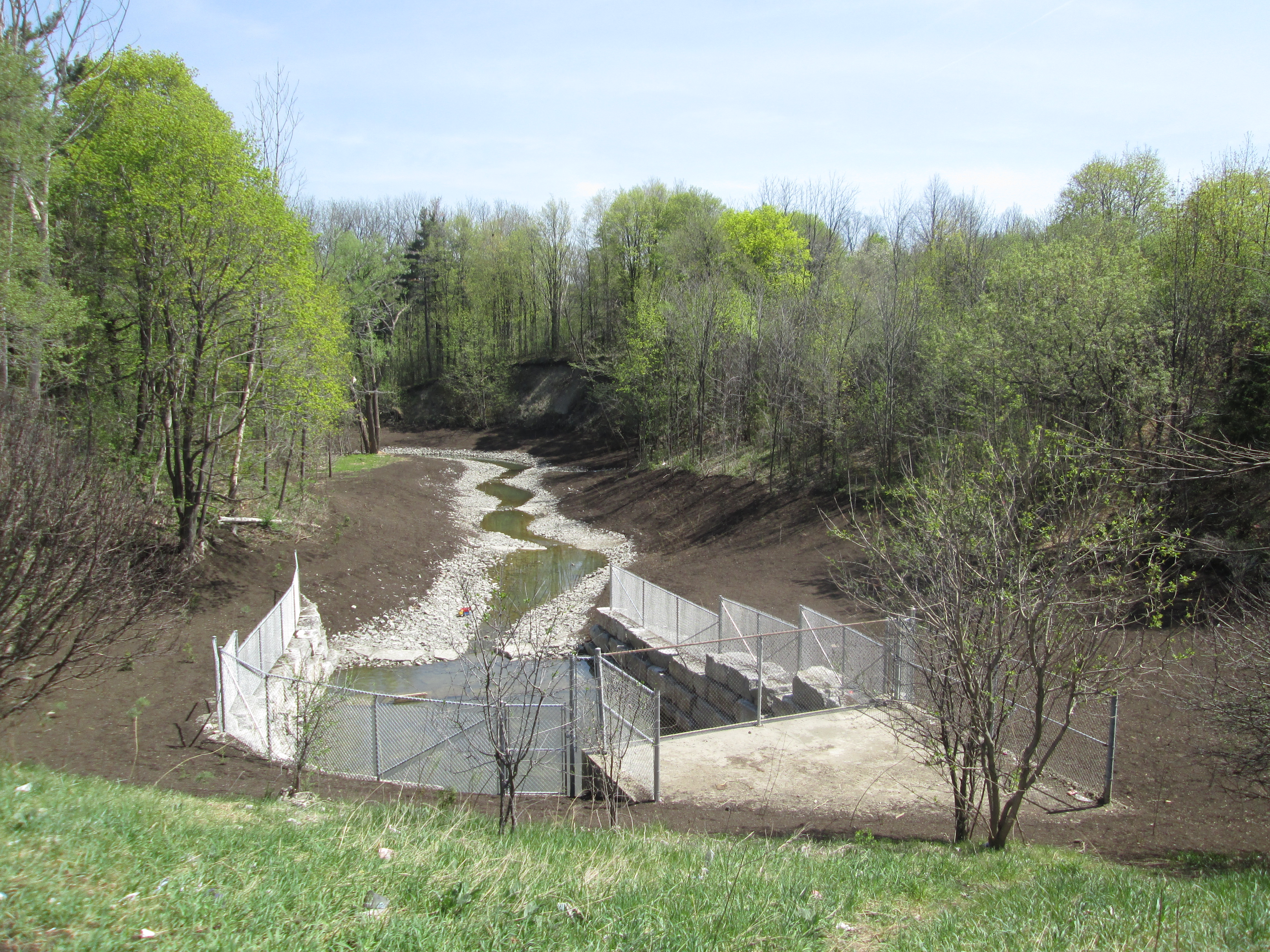
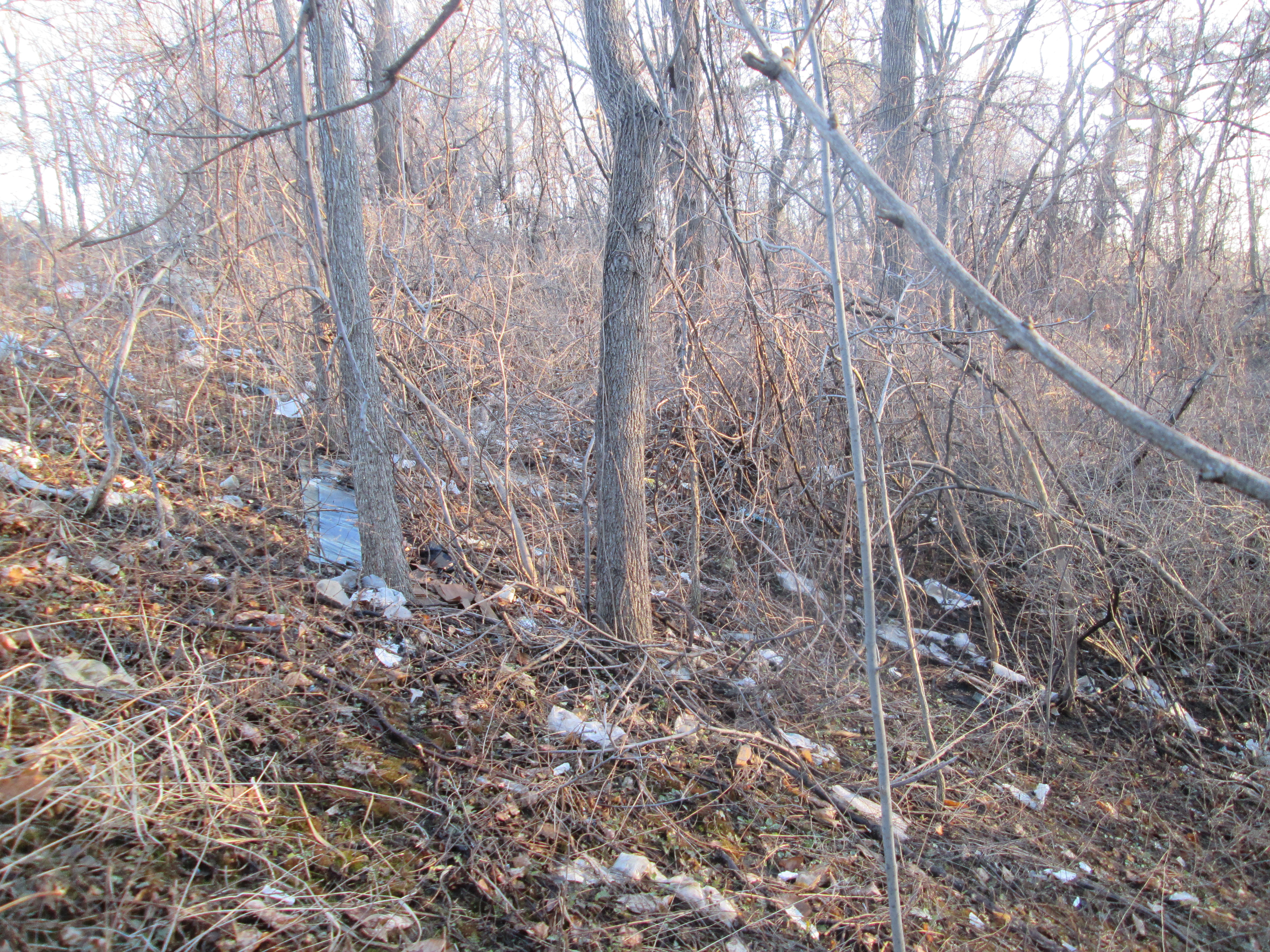
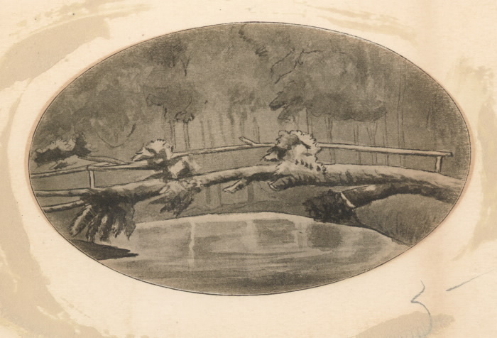
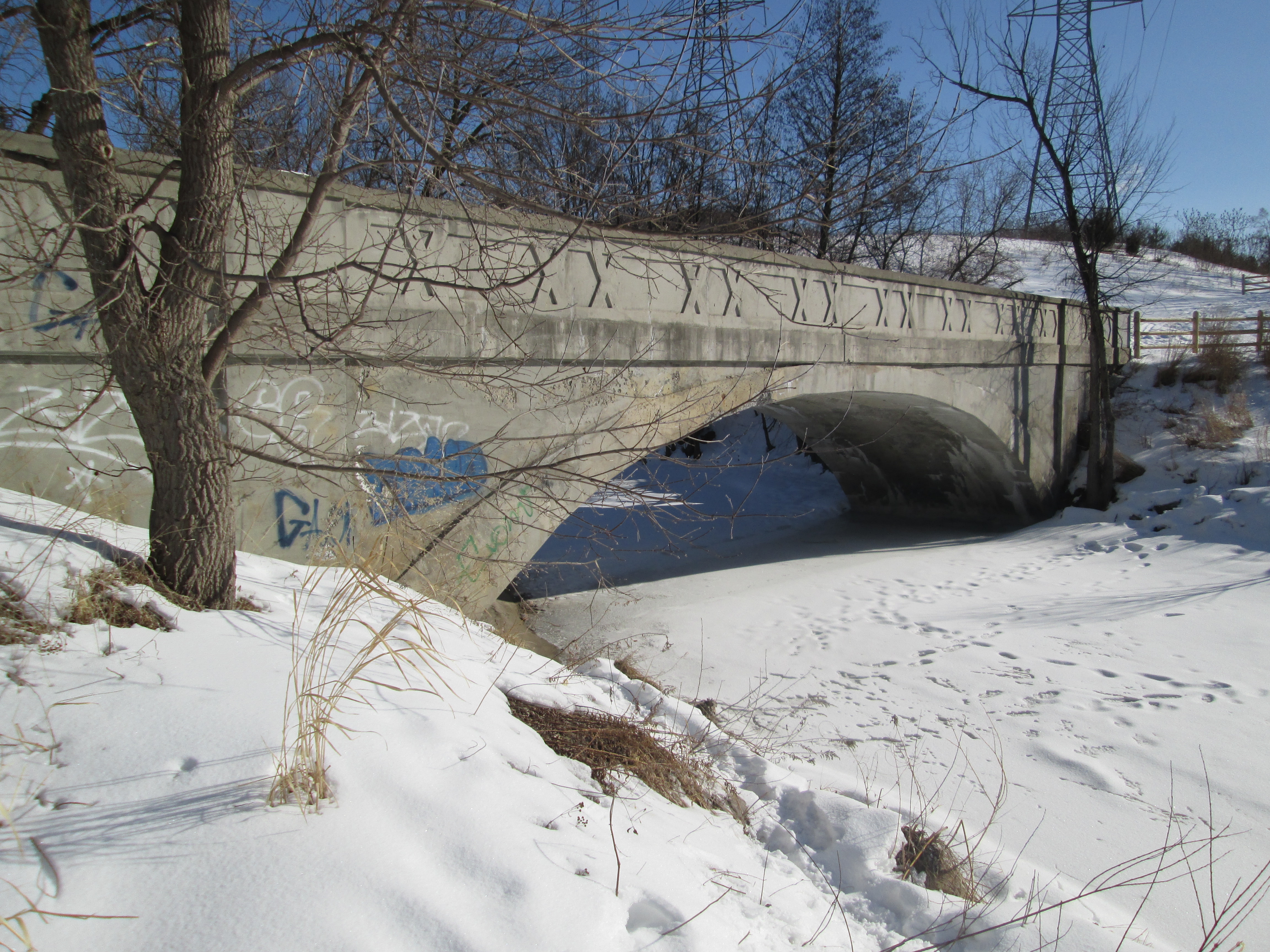
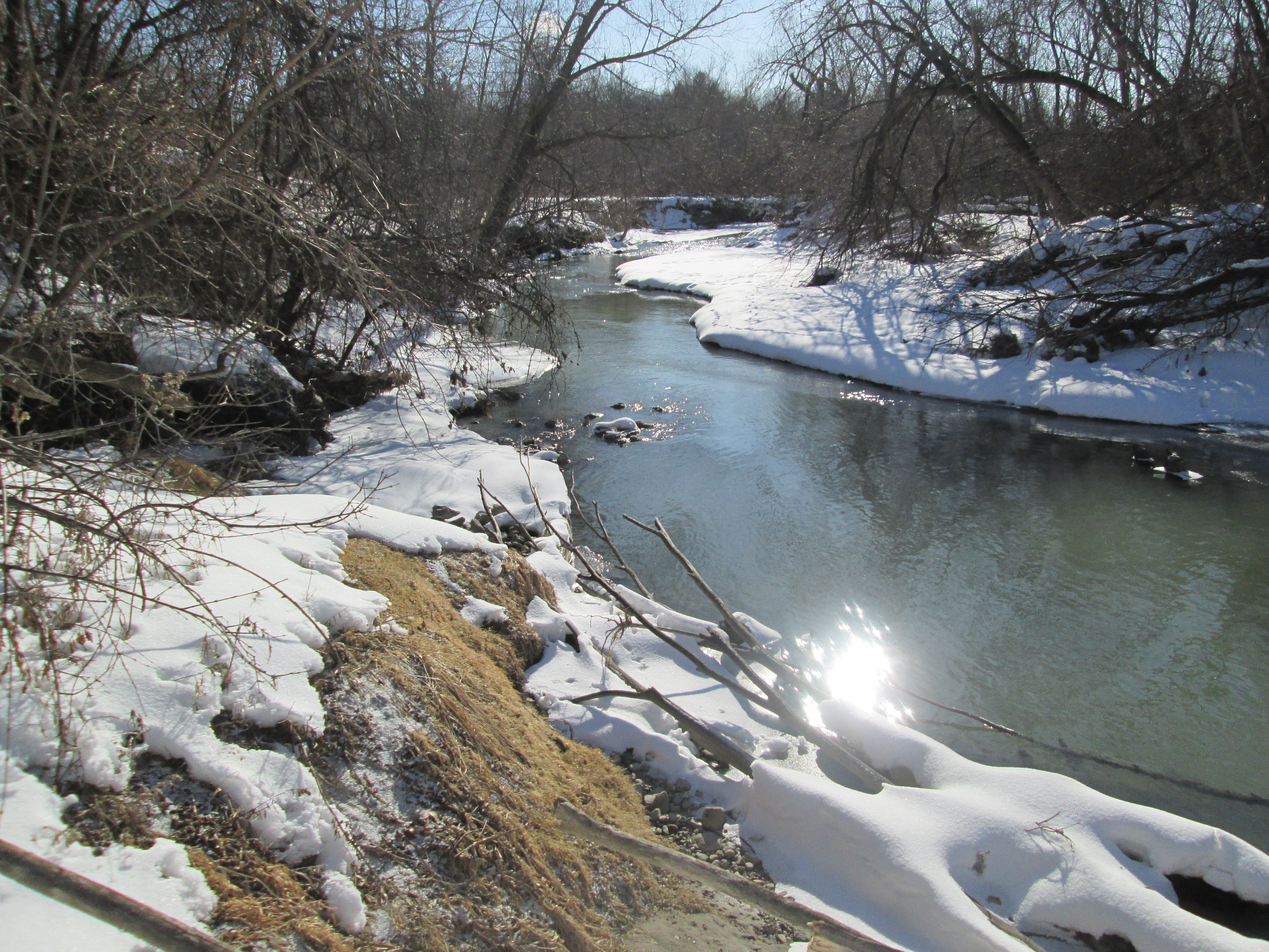
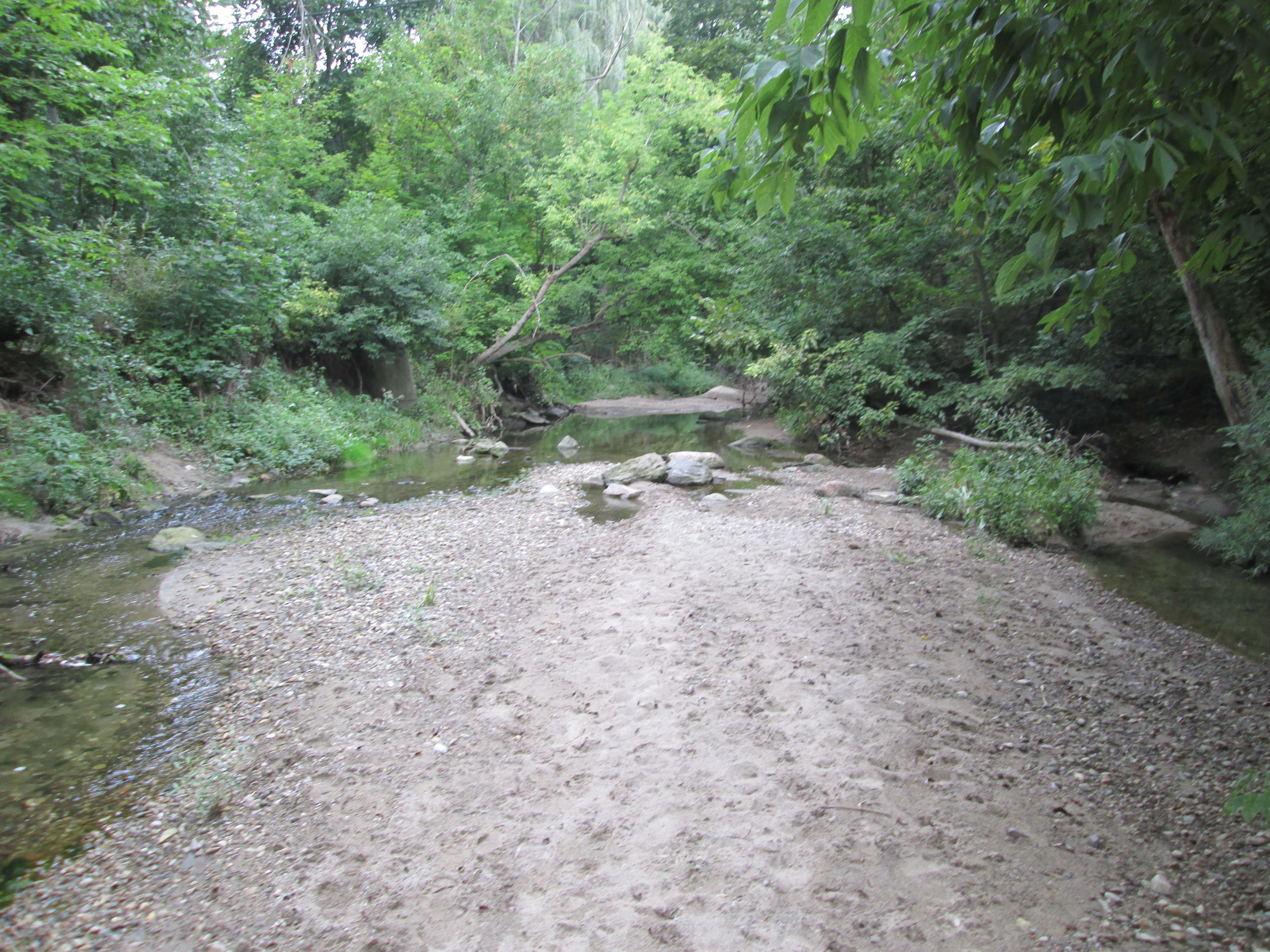
At the bottom of the hill there is no sign of any bridge remains.  Aerial photos from 1947 show the roadway but there was already no bridge here at that time.  This picture looks north up the creek bed.  On the left side there is a sewer access dated 1980 indicating that the overgrowth on the roadway is only 35 years old because heavy equipment was through here at that time.

IMG_7930

With the water level very low in the creek I was able to cross onto the east side.  The trail on this side is much more open and well used.  It appears that lacking personal gyms and pools for exercise, the inhabitants of the poorer side of Post Road resort to using the park more than their rich counterparts on the other end of the road.

IMG_7933

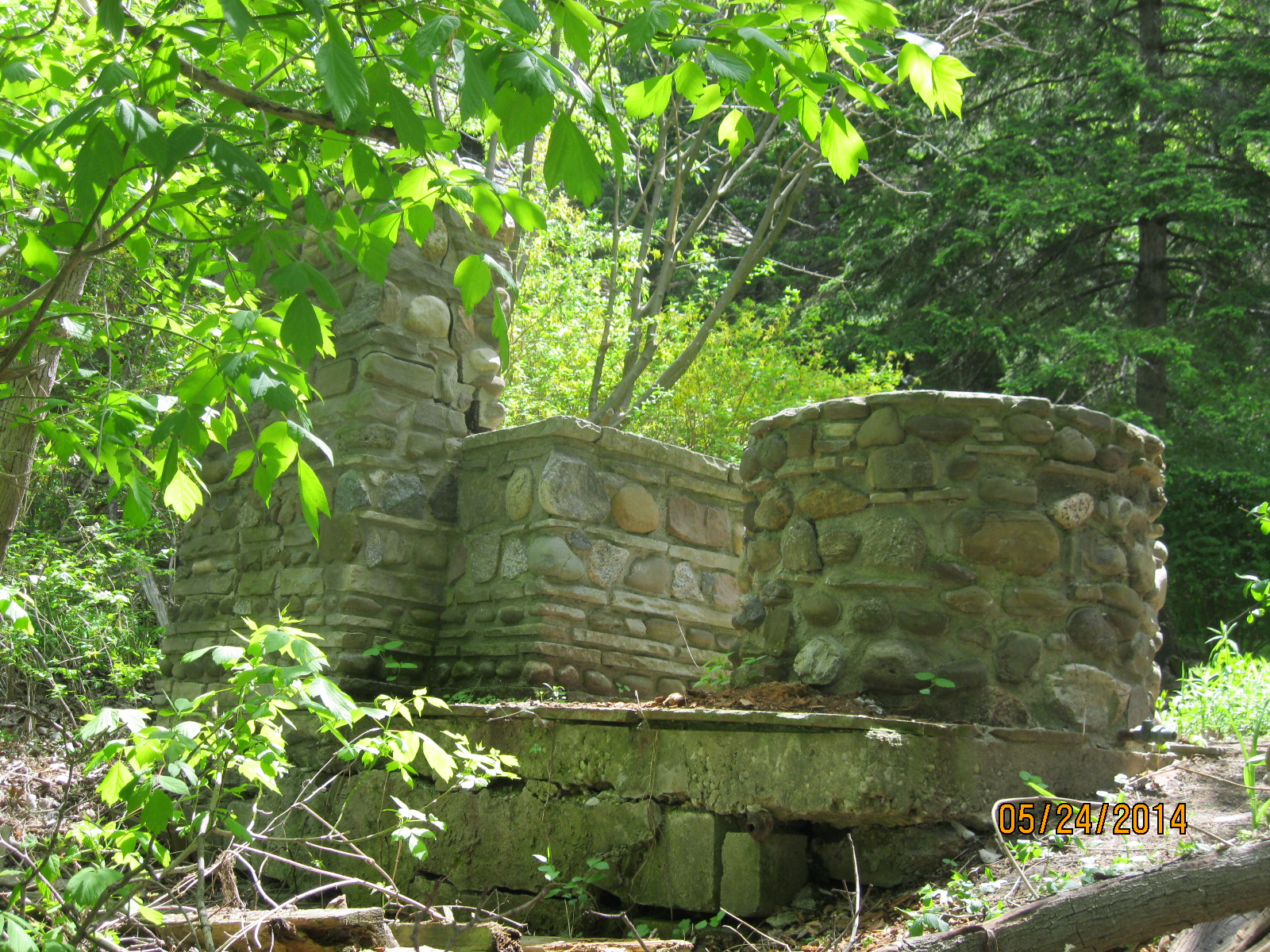
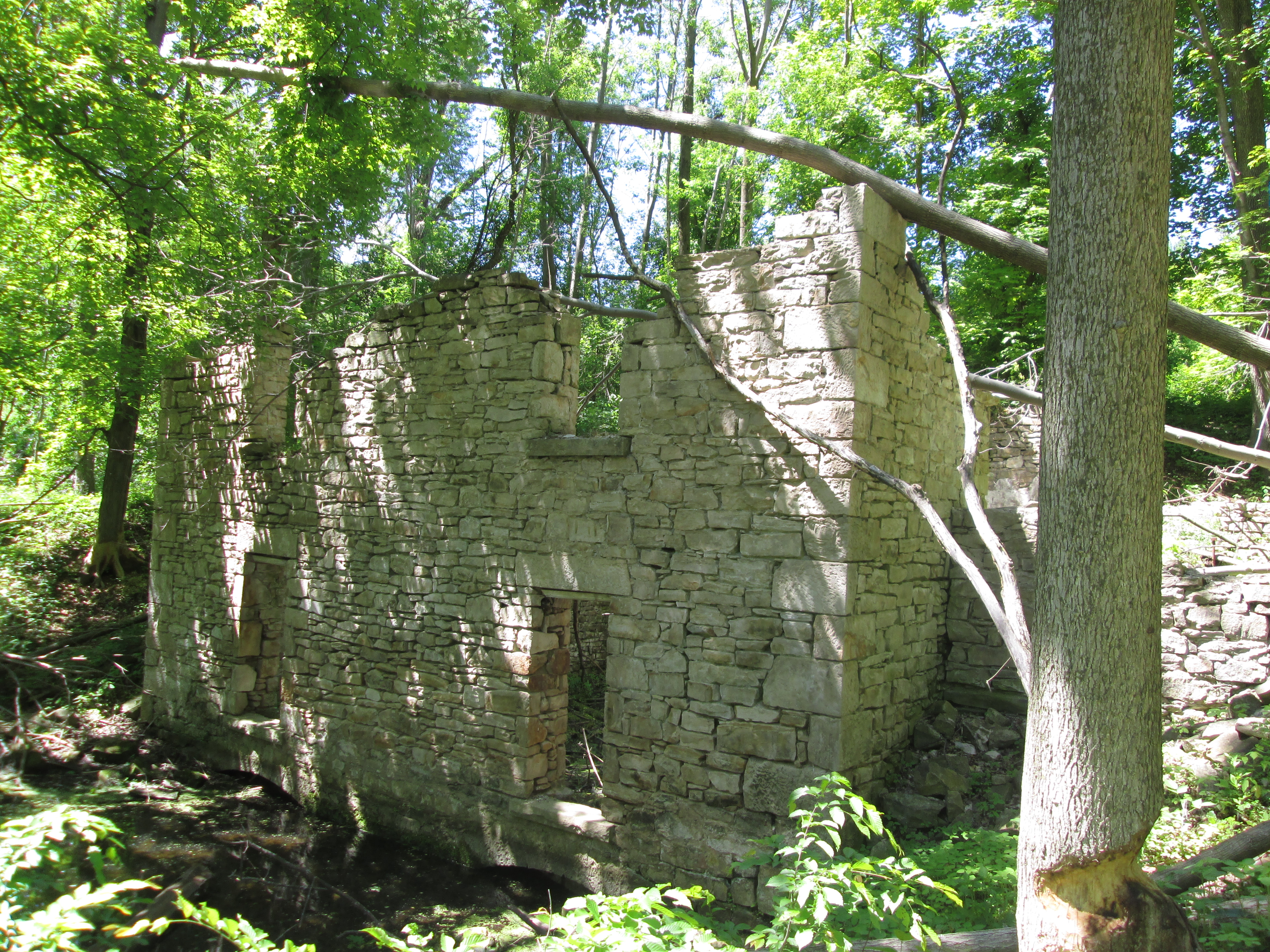
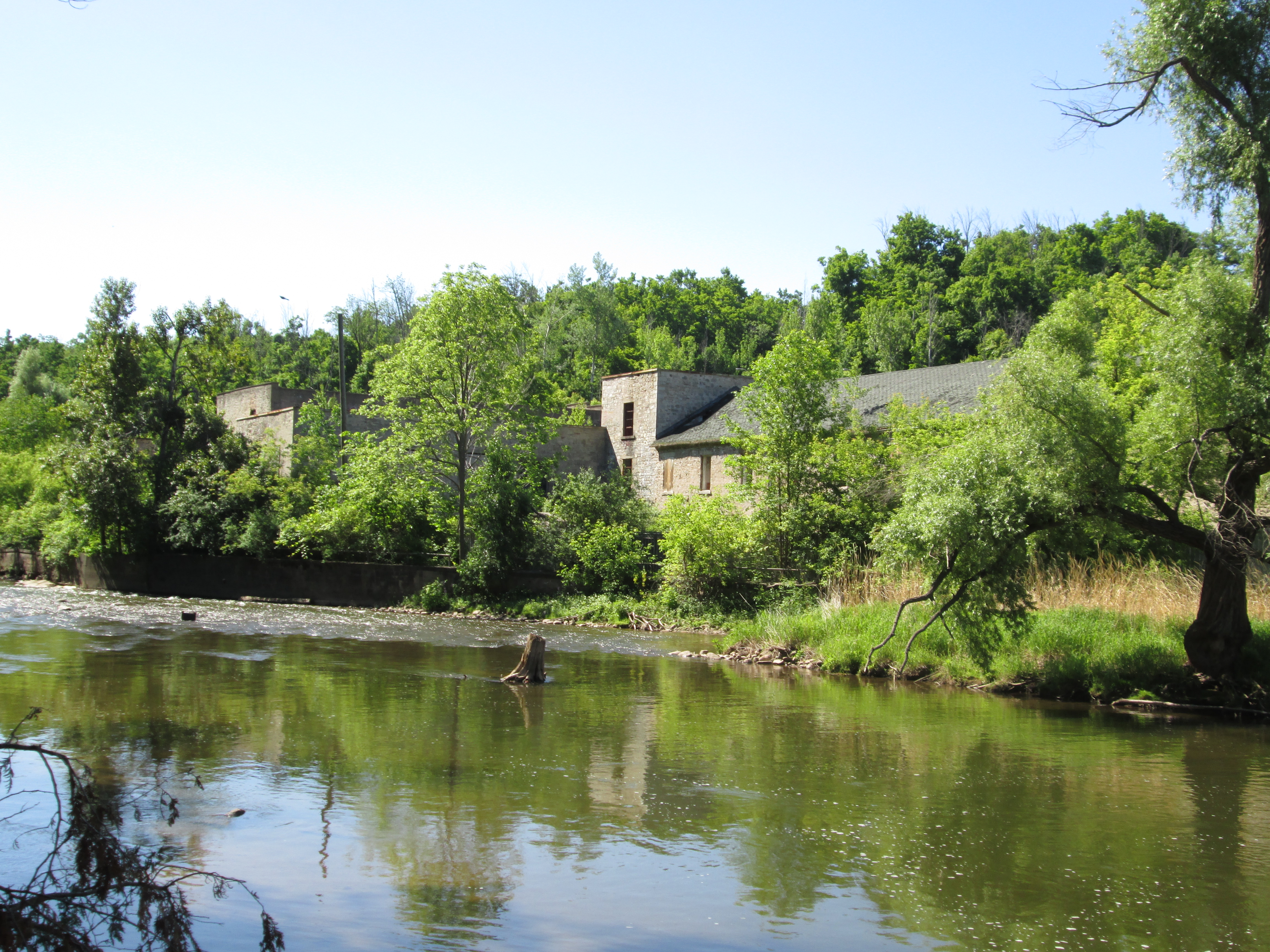
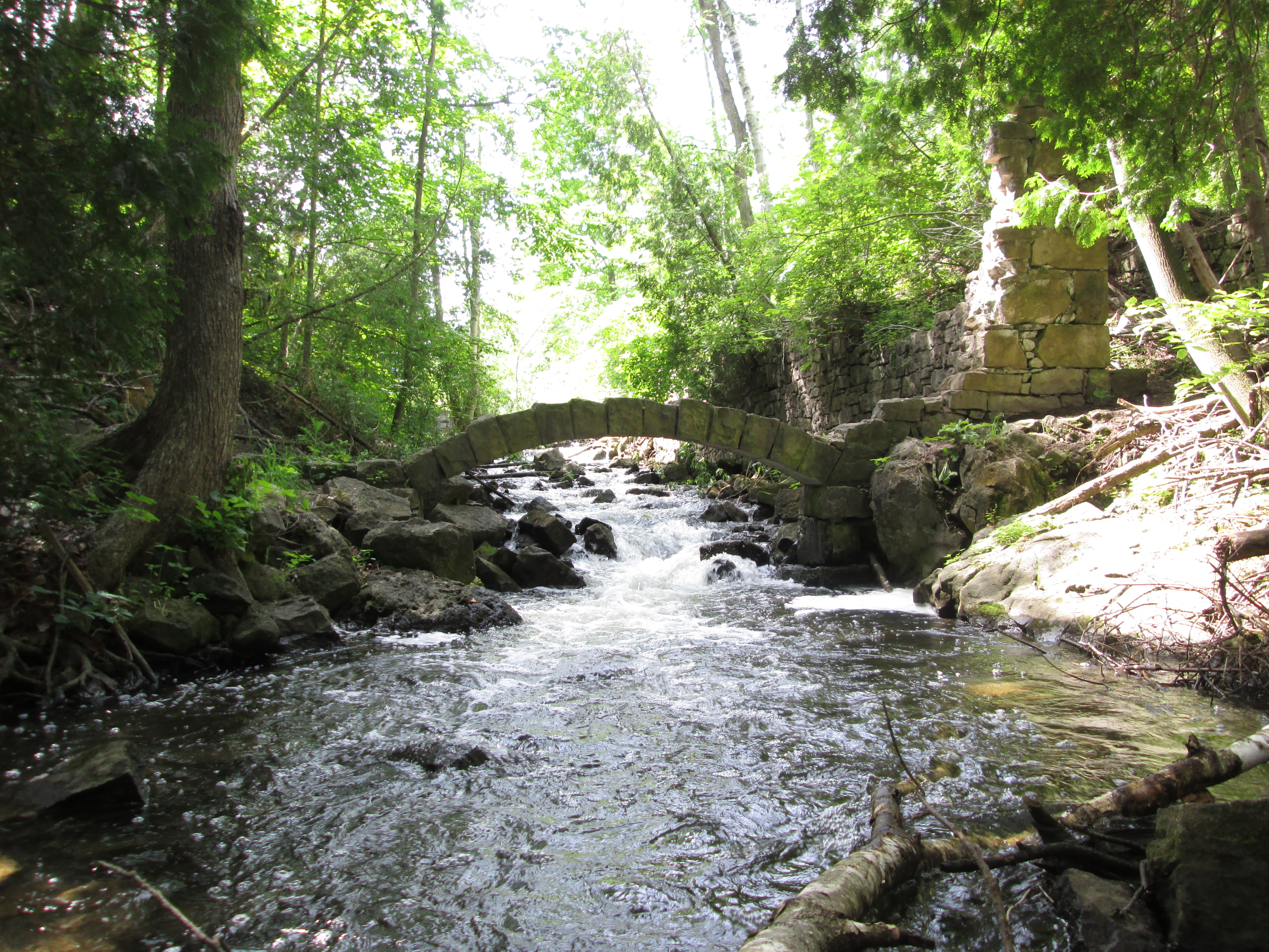
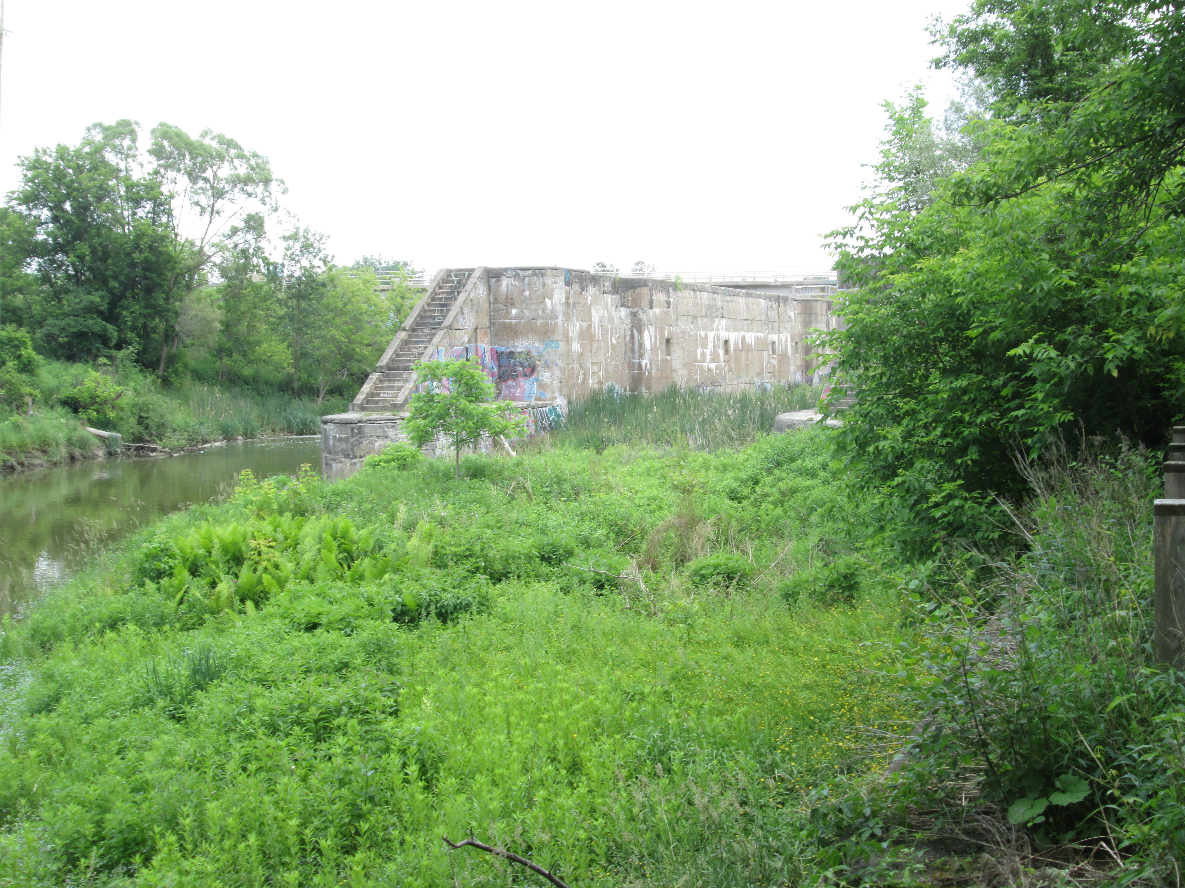
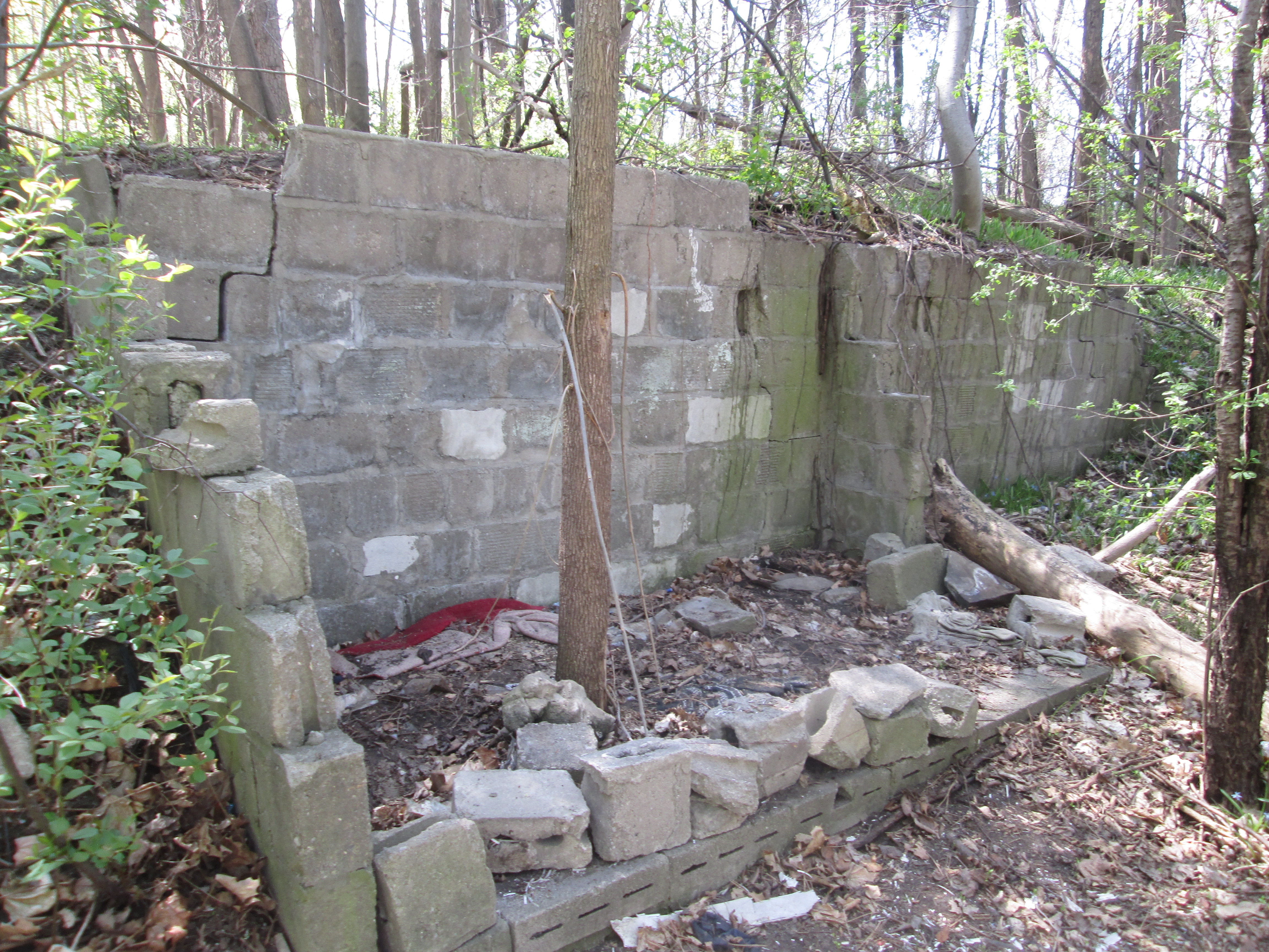
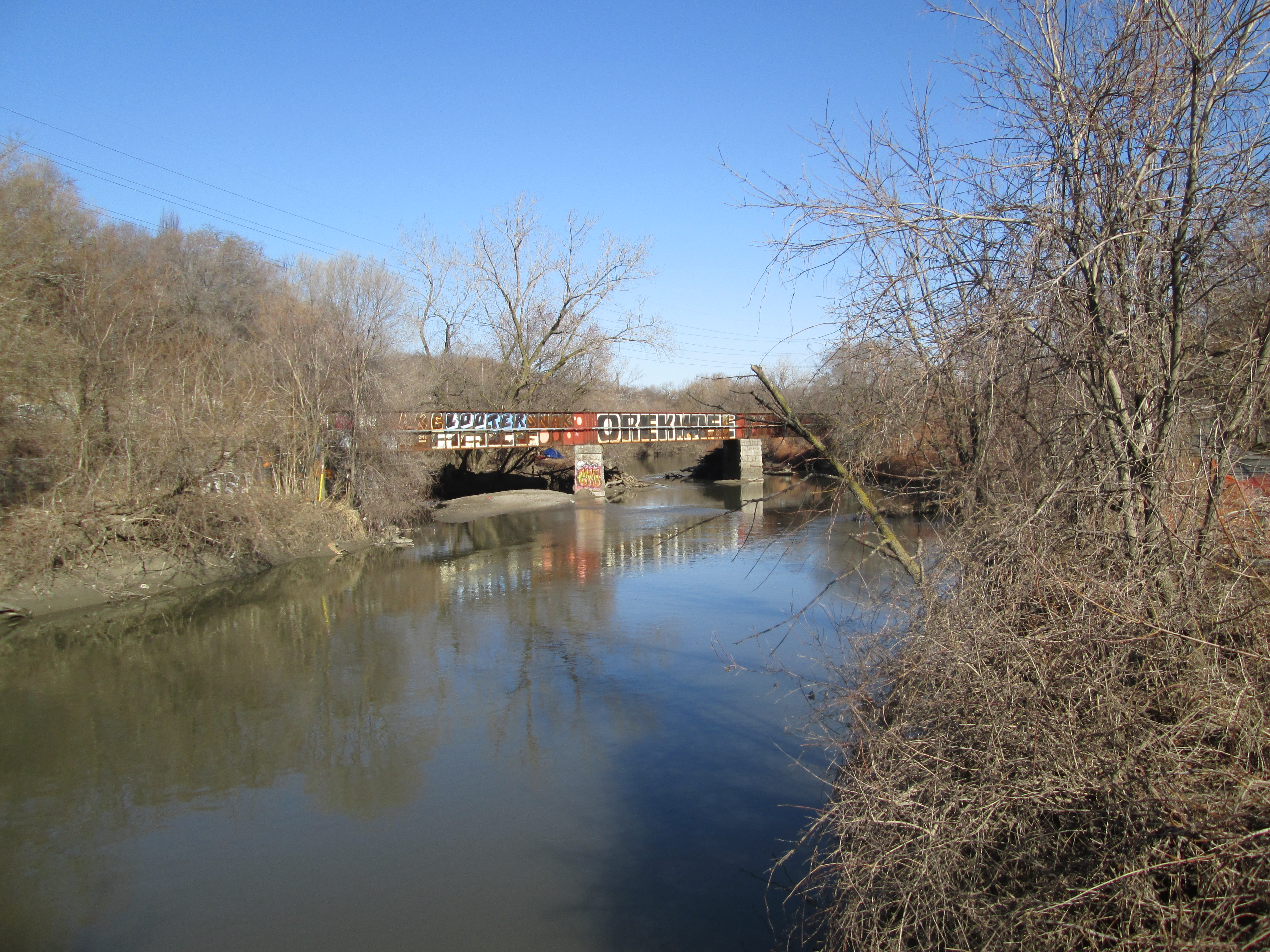
There are signs of former activity along Wilket Creek as you make your way north along the waterway.  There are several concrete formations that may have been related to mill dams or possibly to flood control.

IMG_7940

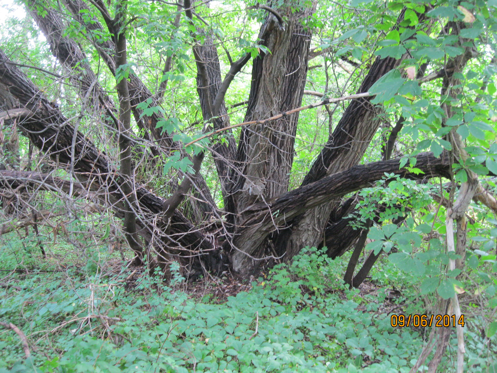
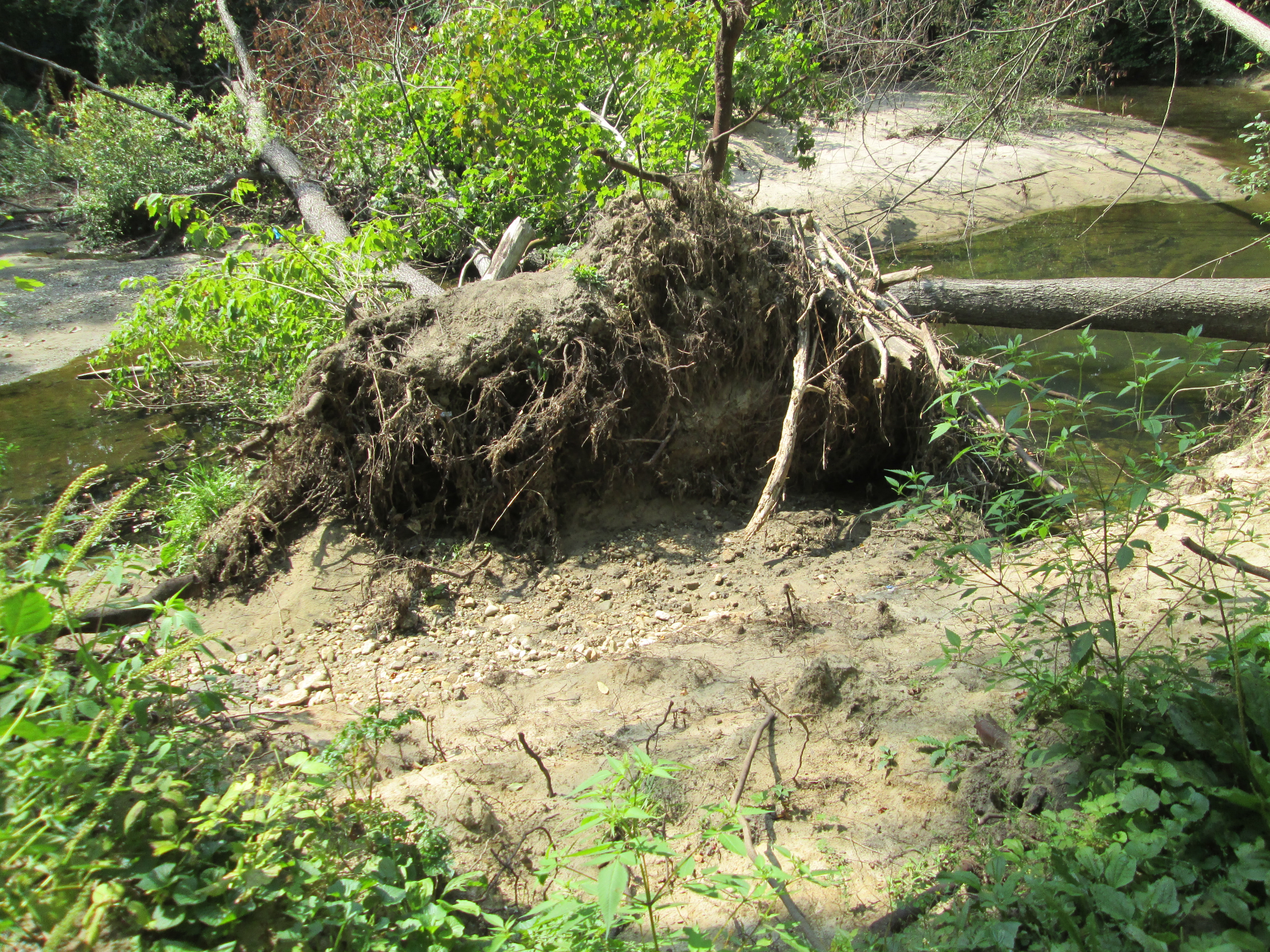
The creek bed and surrounding flood plains are composed of a lot of sand and the sides of the creek are in constant erosion.  There are fallen trees all along the creek including this one which has fallen over but continues to have green leaves on it.

IMG_7943

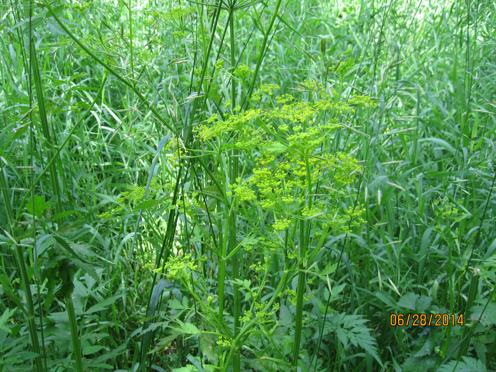
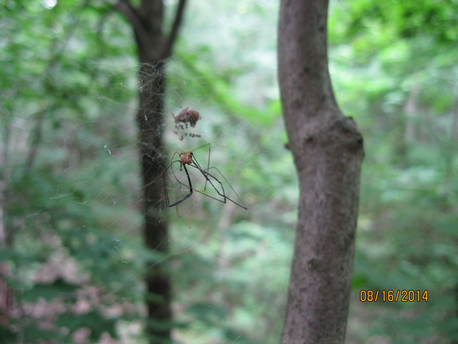
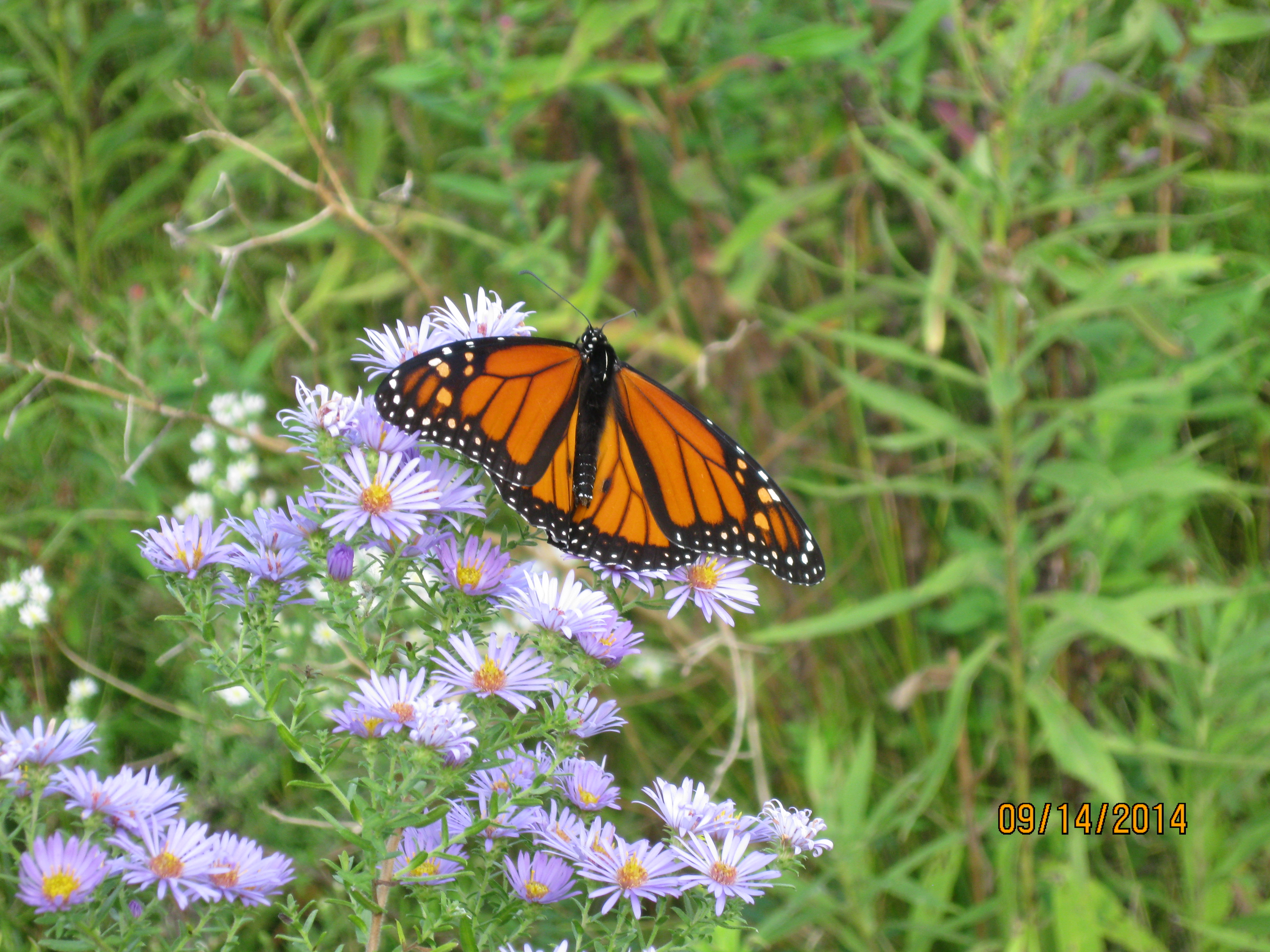
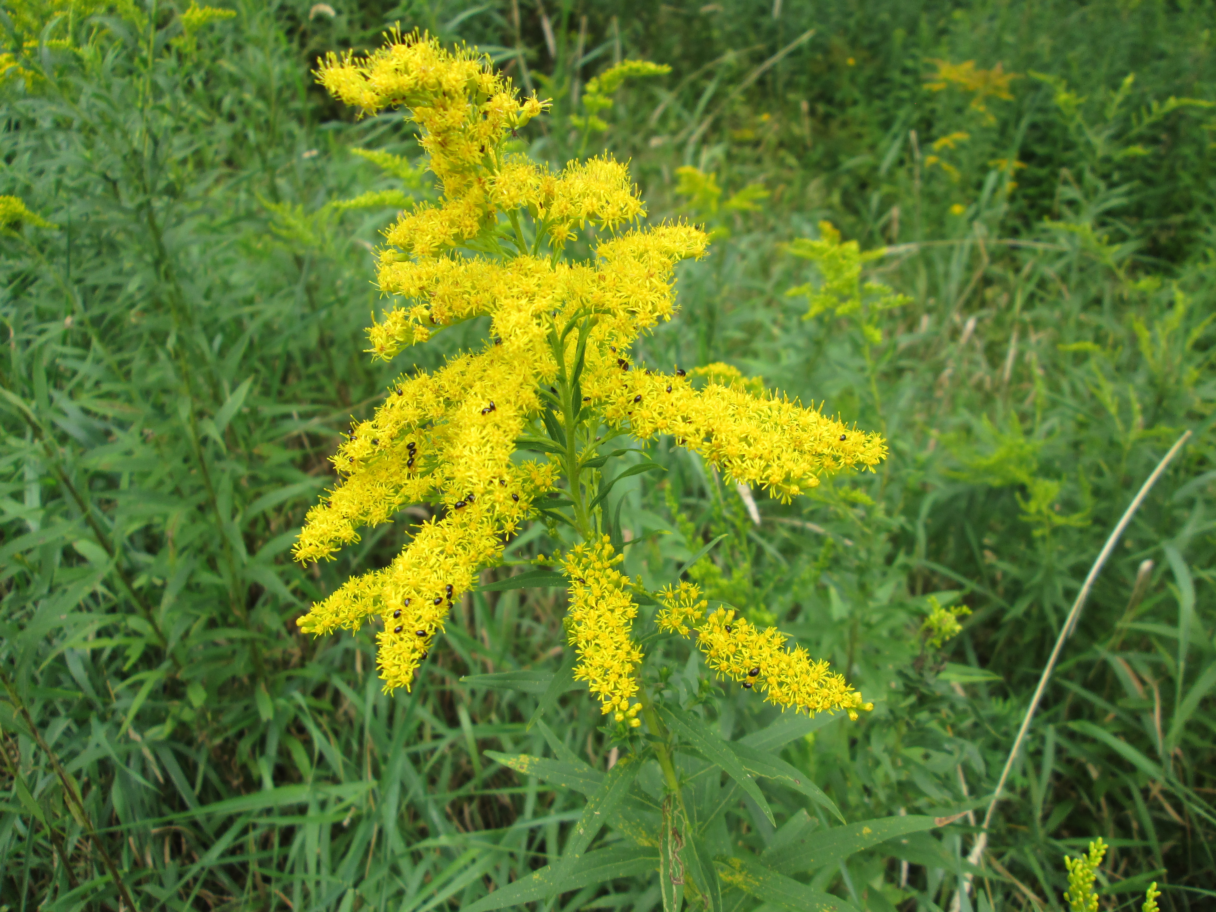
Goldenrod is starting to come into it’s bright golden flowers.  These flowers are essential to the bug community and you will see a wide variety of bees, beetles and assorted other insects on them.  This example is playing host to a colony of ebony bugs.

IMG_7834

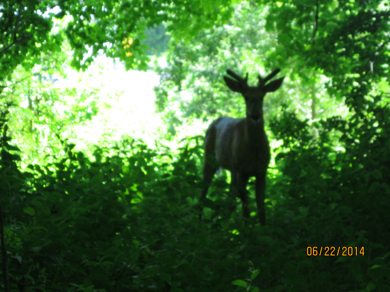
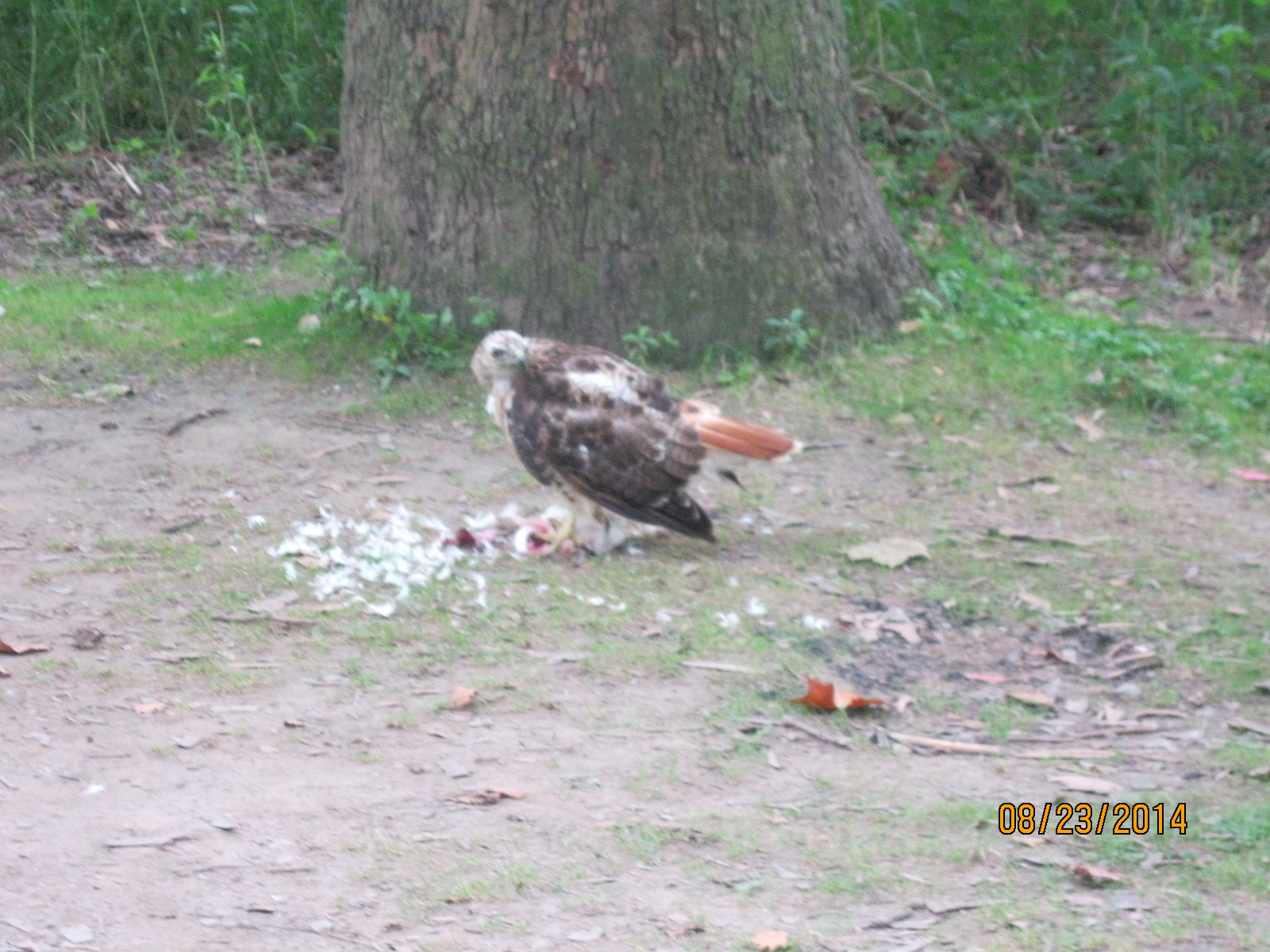
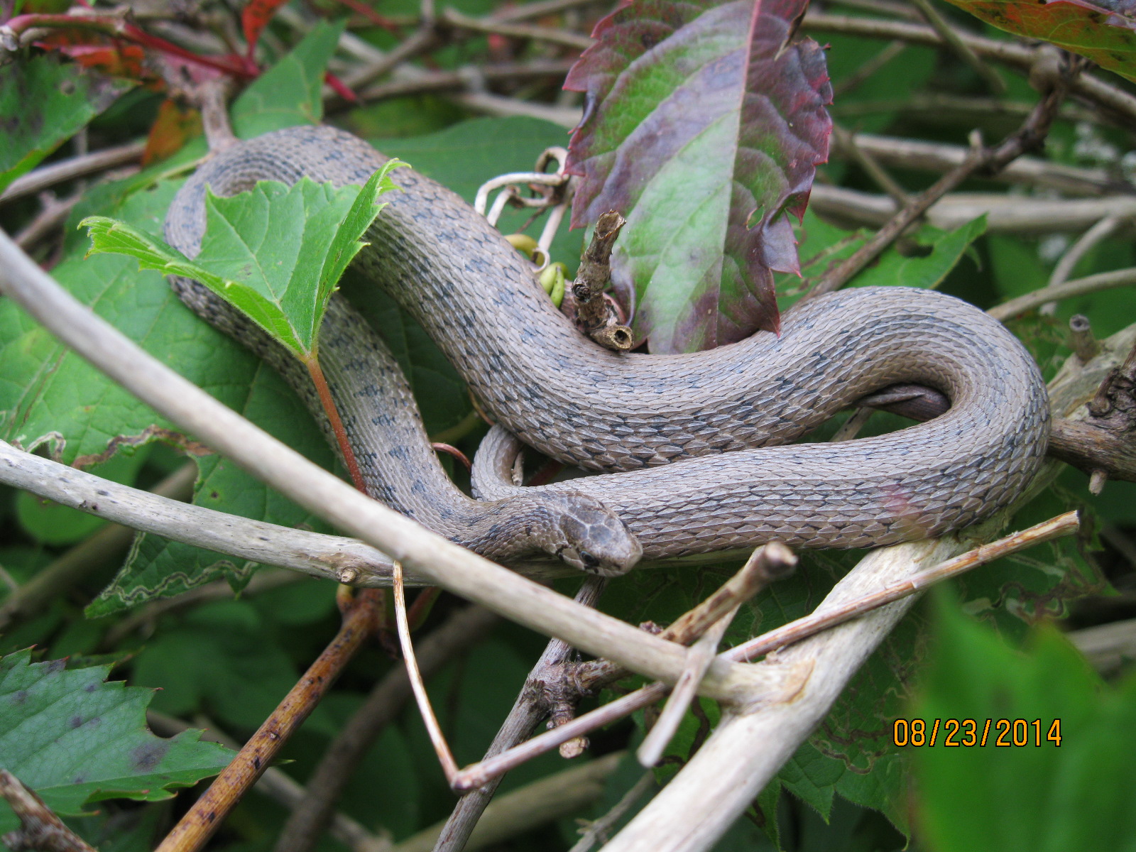
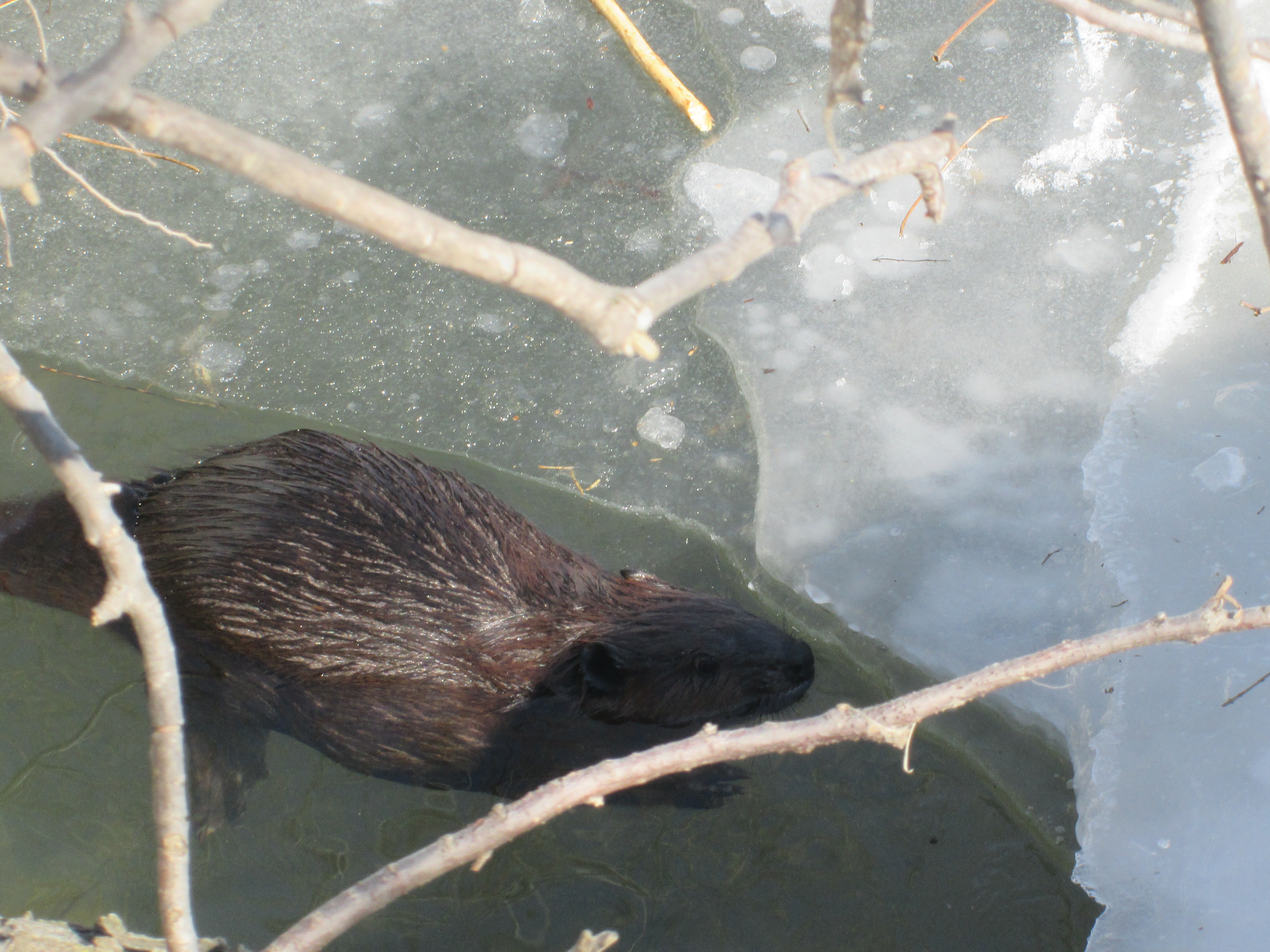
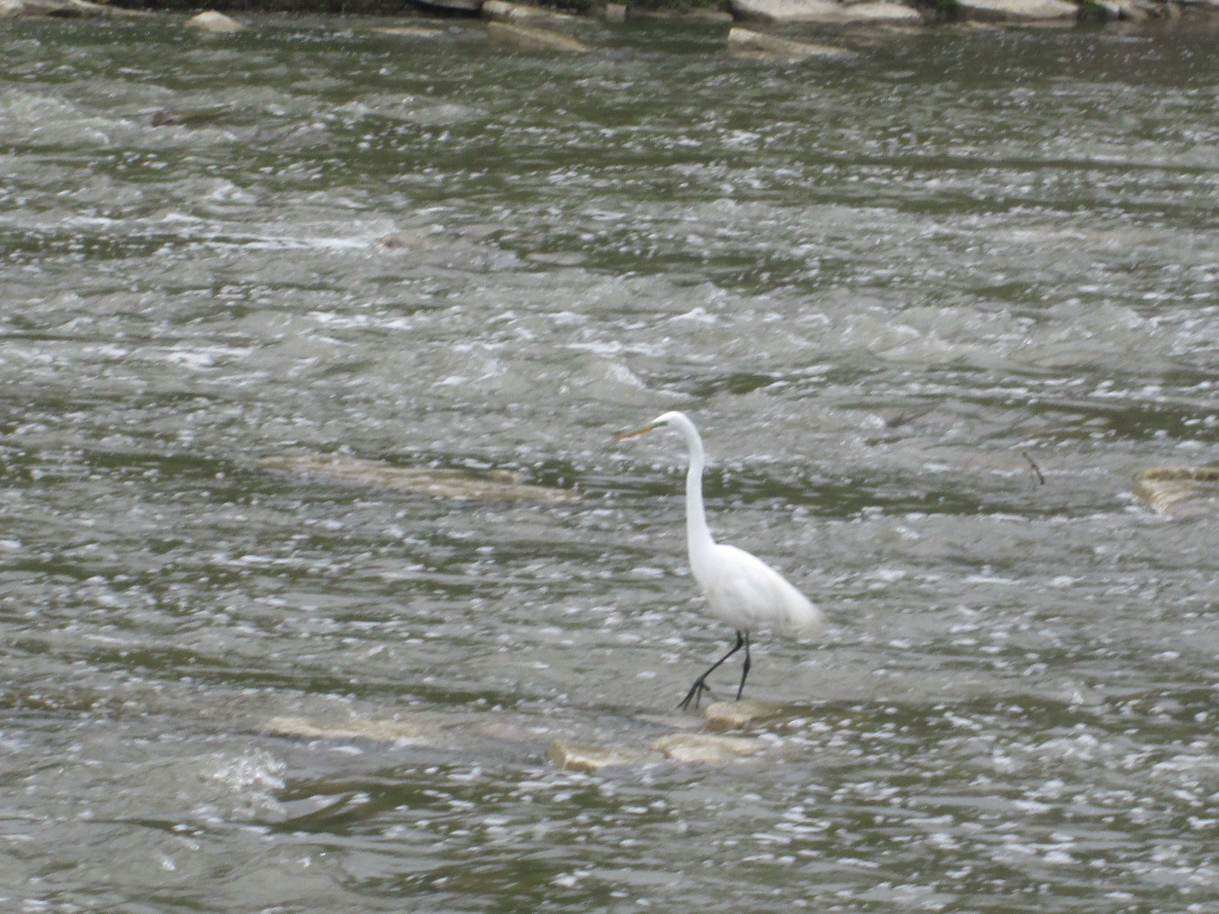
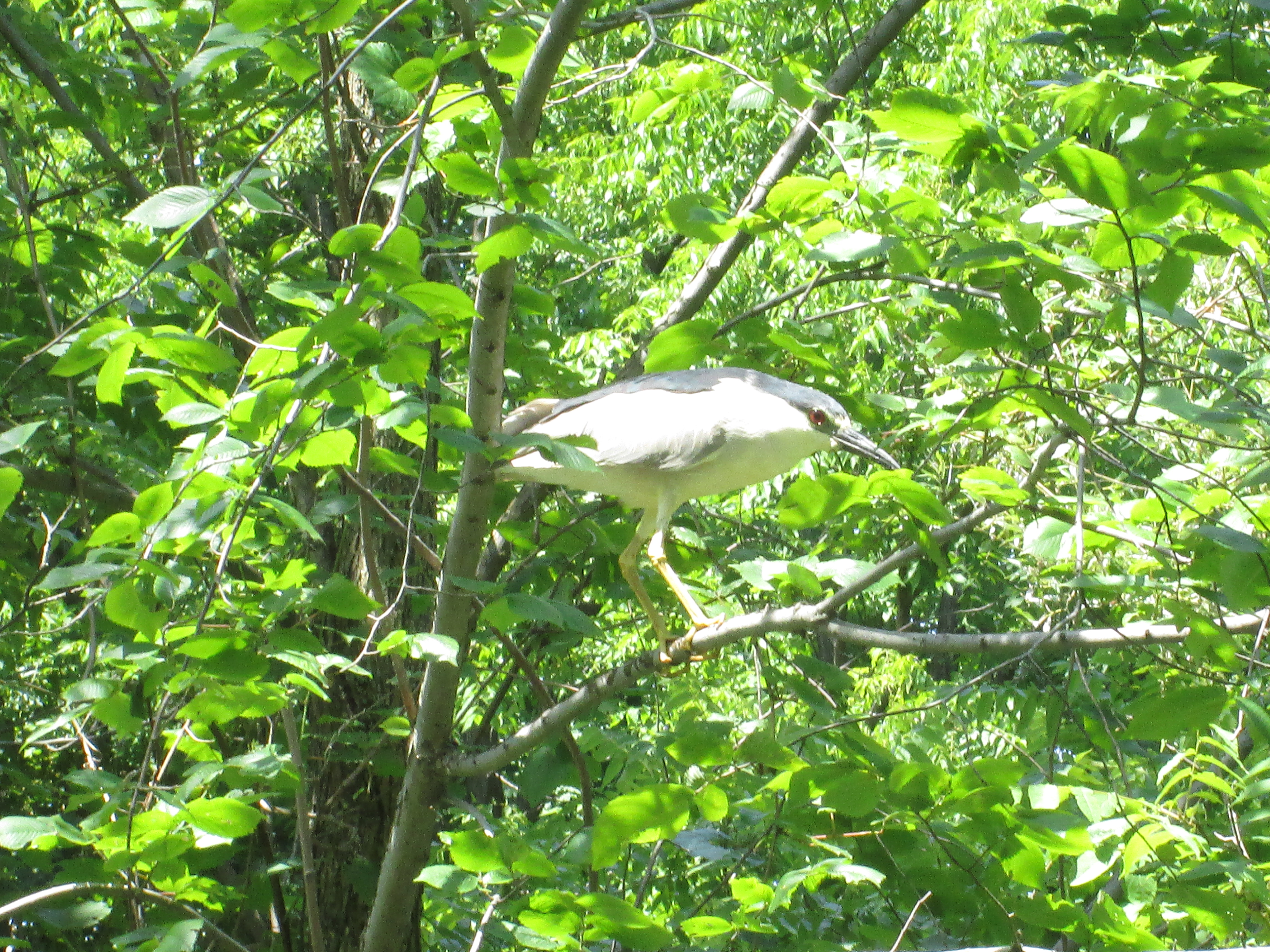
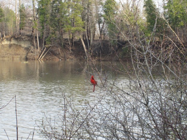
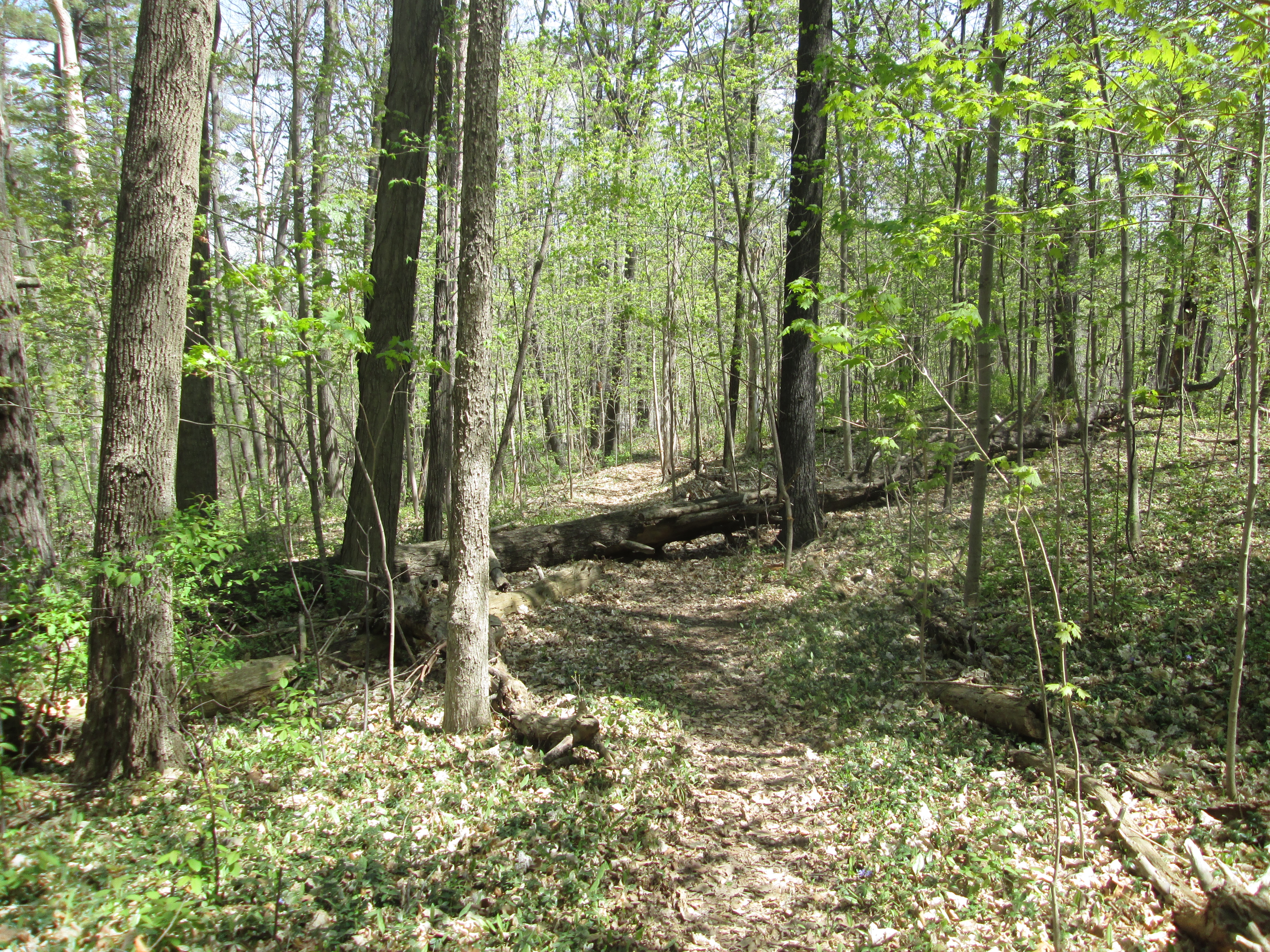
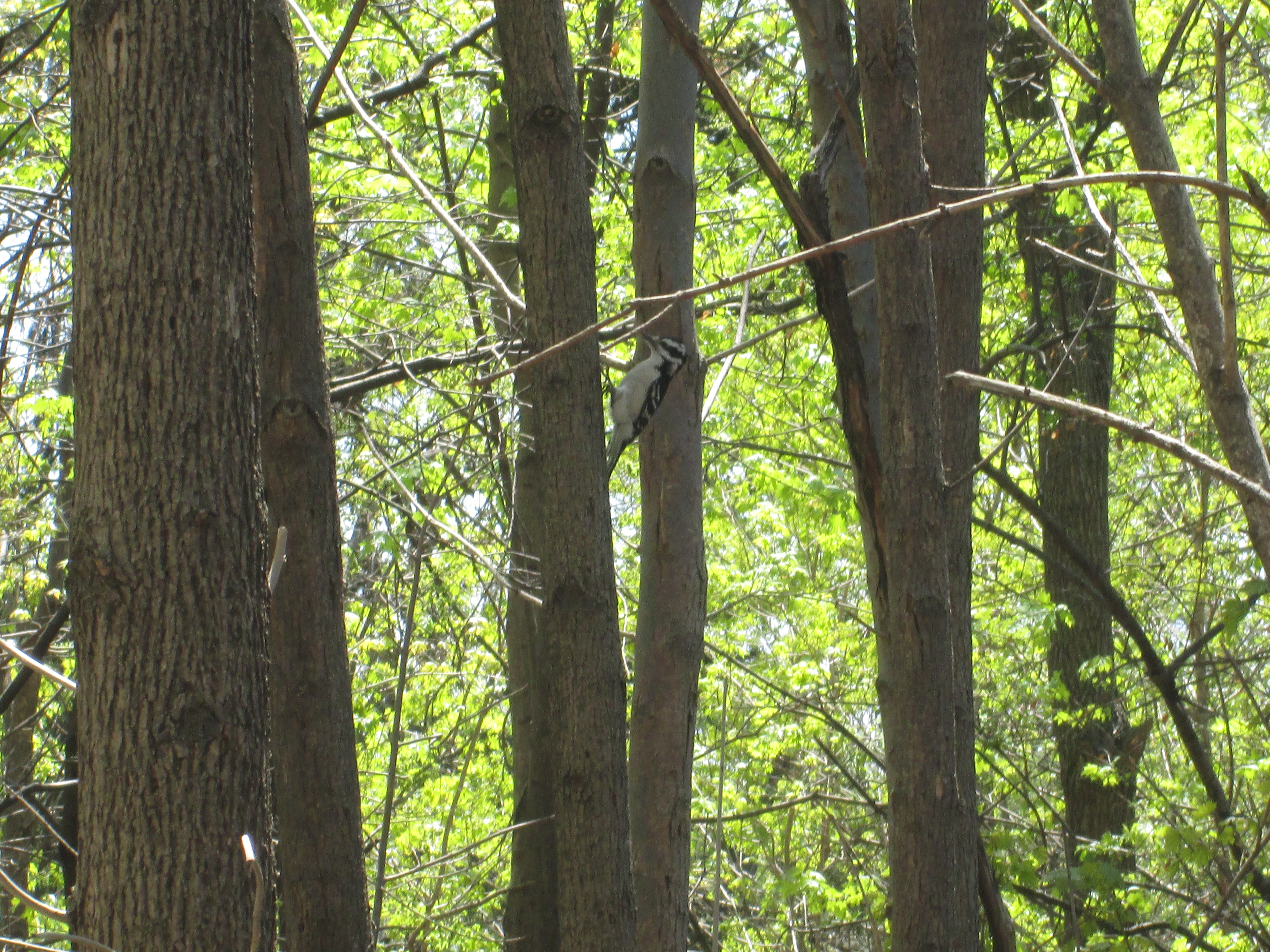
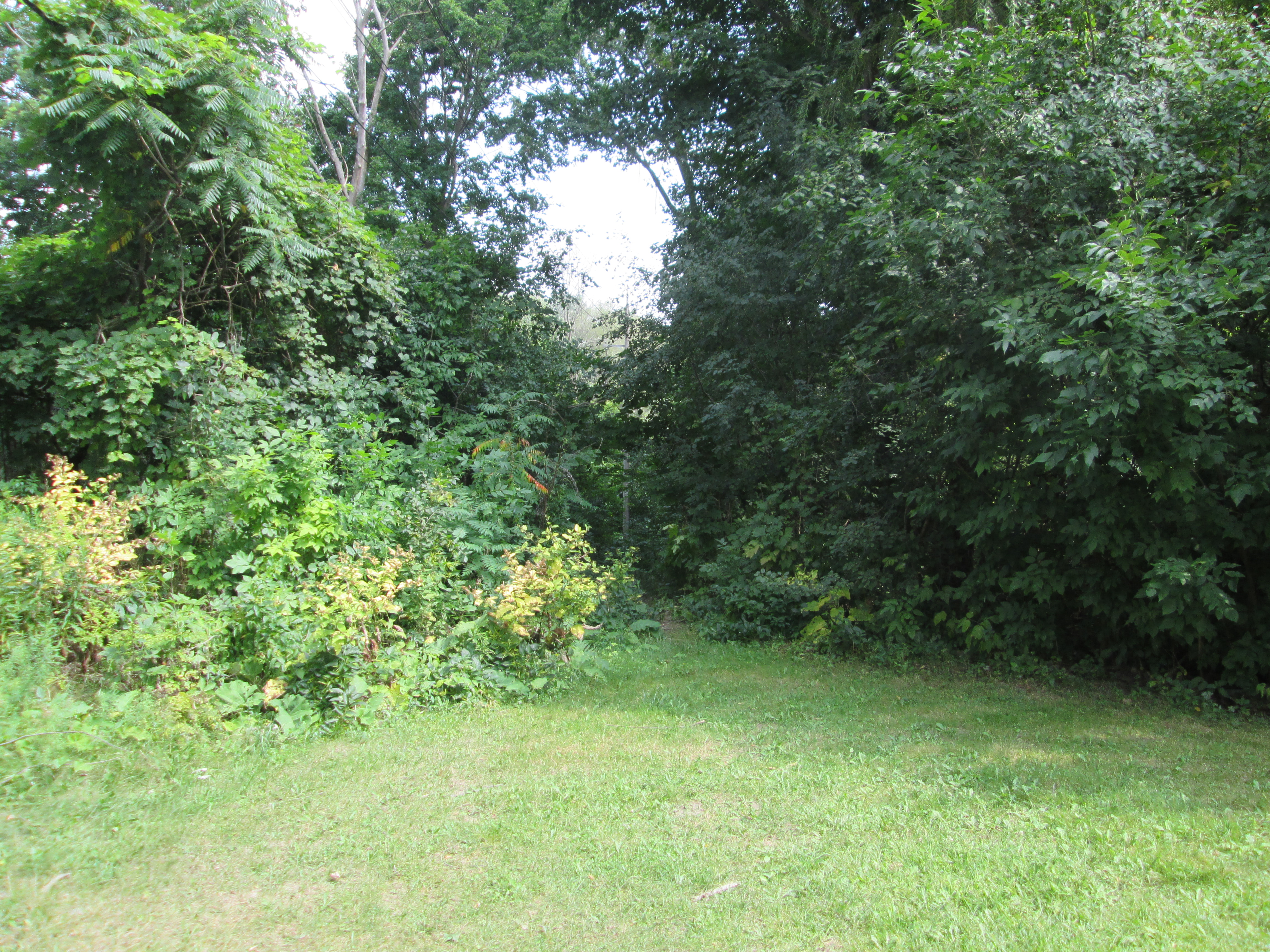
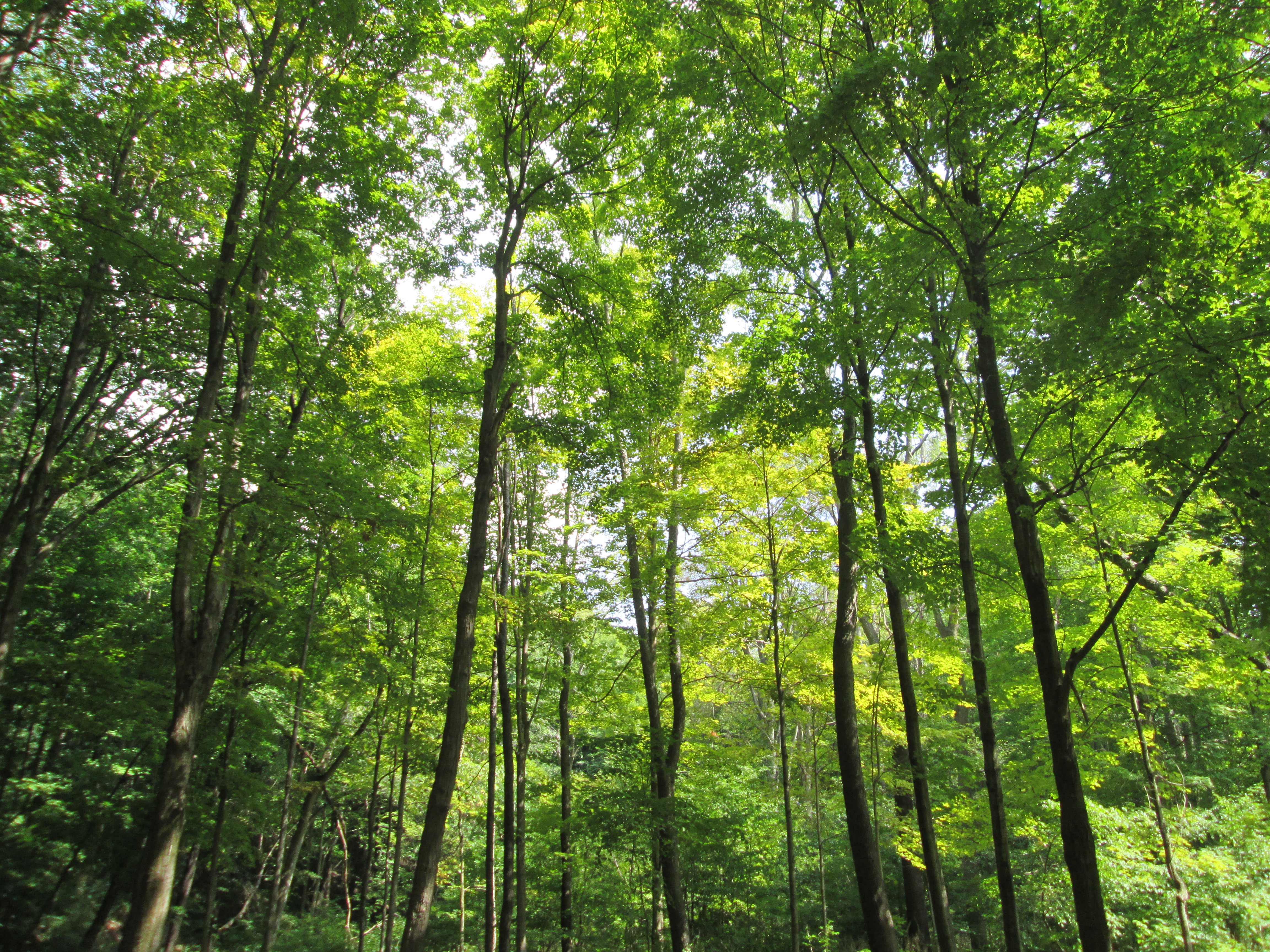
Much of the floodplain for Wilket Creek is filled with new growth trees and is a quiet area to hike where I saw very little wildlife.  The trail leads to Banbury Park and Windfields Park.

IMG_7944

Post Road is split in the middle by Wilket Creek and there is no bridge to link the wealthiest properties on the west side with the planned community of Don Mills on the east side.  You stay on your side, and I’ll stay on mine!

Our top 15 stories as selected by readers.

Google maps link: Post Road

Like us at http://www.facebook.com/hikingthegta

Follow us at http://www.hikingthegta.com

Hiking the GTA #100- Pernicious Plants and Beautiful Blossoms

April 28, 2014 to July 18, 2015

Presented below is a gallery of plant, flower and fungi  pictures taken during the first 100 hikes on the journey called Hiking the GTA.  This post concludes our celebration of chapter one in this adventure.

On July 21, 2015 I published my 100th post in this blog under the title Hiking the GTA #100 – Greatest Treks.  That post presented the 15 most popular stories on the blog, so far.  I’ve posted a gallery of animal pictures from those first blogs under the title Hiking the GTA – Amazing Animals.  Ontario has many edible plants, some very beautiful ones and several really nasty ones.  The pictures below are in no particular order except that the three most common poisonous ones are presented first.

Giant Hogweed is one of the nastiest plants in Ontario.  It can cause severe burns and even blindness.  These picture shows last year’s stocks and this year’s white blossoms and was published in the Canada Day post on July 1, 2015.

IMG_6074

Wild Parsnip is another plant with similar poisonous sap to the Giant Hogweed.  This picture was taken in Riverwood Part 1 – The Bird Property on June 28, 2014.

IMG_2492

A third poisonous plant is Poison Ivy.  This patch was photographed at Barbertown on Aug. 23, 2014.

IMG_3016

Burdocks have a tiny hook on the end of each stem that inspired velcro.  This one, complete with Lady Beetle, was photographed at The Winding Lane Bird Sanctuary on Oct. 11, 2014.

IMG_0579

Coral Mushroom are one of the plants that although relatively rare can be eaten.  This fungi was discovered on Canada Day 2015.

IMG_6023

Ontario’s provincial flower is the Trillium.  These were seen on our hike from Old Mill to Lambton Mills on May 17, 2014.

IMG_1961

The Yellow Iris is an invasive species that takes over our wetlands and chokes out other plant life.  This patch was seen on June 14, 2014 near Raymore Drive.

IMG_2190

Dog-Toothed Violets were seen on the hike where we discovered the Ovens Above Old Mill on May 10, 2014.

IMG_1894

The Vipers Bugloss has a brilliant shade of blue.  We found this example during our hike at the Devil’s Pulpit on July 11, 2015.

SAMSUNG

We found young teasels growing at Glen Williams on June 27, 2015.

SAMSUNG

Jack-In-The-Pulpit plants can live up to 100 years.  We found this large plant growing in Palgrave on May 30, 2015.

IMG_4909

Forget-Me-Nots were used in Newfoundland for their Remembrance Day celebrations before they joined confederation and adopted the poppy.  There were photographed near the Barber Paper Mills on June 6, 2015.

IMG_5189

Coltsfoot is one of the first flowers seen in spring.  We found this patch at Churchville on April 3, 2015.

IMG_3227

Canada Thistle isn’t native to Canada but appears on our Coat of Arms.  This bee was collecting pollen on a Canada Thistle near the Erindale Hydro Electric Dam on Oct. 19, 2014

IMG_0730

Black Willow trees grow in wet areas and reach massive sizes.  This one is in Riverside Park in Streetsville where we visited on Sep. 6, 2014.

IMG_3181

Trees suck the chlorophyll back out of the leaves and store it in the woody parts of the tree for re-use the next year.  These trees appear to be doing just that.  These were also photographed at The Winding Lane Bird Sanctuary on Oct. 11, 2014.

IMG_0611

Our parks are full of a wide variety of plants which keep the woods alive with splashes of colour from early spring until late fall.  Watch out for the pernicious plants and enjoy the beautiful blossoms as you have your own adventures, Hiking the GTA.

Visit us at http://www.facebook.com/hikingthegta


Hiking the GTA #100 – Amazing Animals

April 28, 2014 to July 18, 2015

Presented below is a gallery of animal pictures taken during the first 100 hikes on the Hiking the GTA adventure.

On July 21, 2015 I published my 100th post in this blog under the title Hiking the GTA #100 – Greatest Treks.  That post looked back at the creation of Hiking the GTA and listed the top 15 hikes as determined by activity on WordPress.  This post presents some of the amazing animals that we encountered along the way.  By hiking quietly and keeping off of the beaten path you have the opportunity to come face to face with some of the wide variety of wildlife we share our parks with.  Most of the animals are more afraid of you than you are of them and will disappear quickly.  In reality some of the plants in our parks are more dangerous than the wildlife.  The following pictures are in the order in which I took them except that I saved my personal favourite for last.  Links to the related articles are provided where additional descriptions of the animals are presented.

This White Tail Deer buck was following me through the woods along Wilket Creek on June 22, 2014.  This was the only creature I saw all year that made me nervous as I’m usually the one doing the following.

IMG_2389

The little baby Cross Orb Weaver spiders in this picture are just hatching and look like grains of pepper leaving the egg sac.  The mother spider had previously brought a Daddy Long Legs spider into the web to provide a breakfast to the hatchlings.  Seen near Middle Road Bridge on Aug. 16, 2014

IMG_2944

This Red Tailed Hawk was feasting near Barbertown on Aug. 23, 2014.

IMG_3098

Also seen in Barbertown was this Dekay’s Brown Snake on Aug. 23, 2014

IMG_3021

The Monarch Butterfly below was seen at the forks of the Don on Sept. 14, 2014.

IMG_3361

Spadina House has it’s own resident fox as photographed on Dec. 21, 2014.

Spadina 74

This Snowy Owl was seen at the Adamson Estate on Jan. 24, 2015

IMG_2092

This coyote was photographed in West Deane Park on Jan. 31, 2015

???????????????????????????????

The beaver in this picture was seen in Etobicoke Valley Park on Feb. 28, 2015

IMG_2663

This White Egret was fishing near the dam at The Old Mill on May 10, 2015.

IMG_4287

The Red Breasted Grosbeak below was photographed in Norval on May 16, 2015.

IMG_4404a

This Trumpeter Swan, complete with tracking tag, was seen at the mouth of the Credit River and featured in The Ridgetown – Port Credit on May 23, 2015.

IMG_4755

This Black-crowned Night Heron was published in The Forks of the Credit – The Stone Cutter’s Dam on July 18, 2015.  Unlike the Great Blue Heron in the cover photo it does not have long legs and neck.

IMG_6600

Hiding in plain sight in the picture below is a new born White Tail Deer Fawn.  This is my favourite picture of the past year and was taken near the Barber Paper Mills on June 6, 2015.

IMG_5361

This is just a sample of the some of the amazing animals we saw on our journeys in the first 100 hikes in this blog.  Many others were featured and many more will yet be photographed on future hikes.

visit us at http://www.facebook.com/hikingthegta

Hiking the GTA #100 – Greatest Treks

April 24, 2014 to July 18, 2015

The following is a look back on some of the most popular hikes in the past 100 blogs. Companion posts will include some of the more interesting plants and animals photographed along the way.

After years of hiking up down down the ravines in the GTA and collecting thousands of pictures I needed a better way to organize and describe my photos.  A friend suggested WordPress and so I took the pictures for Saturday April 24, 2014 and created my first post.  Since then I’ve had the opportunity to hike much of the Humber, Don and Credit Rivers along with a wide variety of other spots.  My mom has become an avid reader and I’ve picked up some other readers along the way.

We’ve visited some very interesting historical places, seen a lot of wildlife and the abundant nature the area has to offer.  We never missed a weekend due to rain-outs.  One hike this past winter never got published when I couldn’t differentiate between the polar bear picture and the egret due to the driving snow storm .  To celebrate this, my 100th post, I thought I’d take a look back at those stories that were the most popular in this first chapter of the ongoing adventure that is Hiking The GTA. Below are the top 15 posts and a link to the full story should something catch your fancy.

15. High Park – Colborne Lodge – Hike Date: Nov. 22, 2014

John Howard donated the land for High Park in 1873.  He built his house, Colborne Lodge in 1837 and it remains largely unchanged today.  This post explores the west side of the park including Grenadier Pond.

IMG_1199

14. Humber Bay to Bloor – Hike Date: May 24, 2014

One of the earliest hikes in the blog, this one covers the lower stretch of the Don River.  Near Bloor Street an abandoned building overlooks King’s Mill Park.

IMG_2041

13. Guildwood Park – Hike Date: Apr. 19, 2015

Home to the Guildwood Inn, this former artist colony features artwork from several of Toronto’s demolished buildings.

IMG_3833

12. Military Burying Grounds – Hike Date: Mar. 22, 2015

The first burial in York (Toronto) occurred in 1794 when Lieutenant Governor Simcoe buried his one year old daughter in the woods behind Fort York.  This became the site of the Fort York cemetery until it was declared full and a second military burial grounds was opened at the west end of the Fort York Commons.

IMG_2952

11. Don Valley Brick Works – Hike Date: Nov. 16, 2014

Starting in 1882 and lasting for close to 100 years, the Don Valley Brick Works produced much of the brick used in constructing early Toronto.  This post explores the various buildings as well as the old pit, now converted to a park.

IMG_1083

10. Erindale Hydro Electric Dam – Hike Date: Oct. 19, 2014

Constructed between 1902 and 1910 the electric power generation plant in Erindale operated until 1923.  This hike explored the old dam, the surrounding park and the intake housing for the head race to the power station.

IMG_0683

9. Bayview Estates – Hike Date: Nov. 2, 2014

The area of Bayview Avenue and Lawrence Avenue was home to several grand estates owned by Toronto’s millionaires in the early 1900’s.  This post visits several of these estates and stops by the pre-1929 Bayview Ave. bridge, pictured below.

IMG_0886

8. The Devil’s Pulpit – Hike Date: July 11, 2015

The area around the Forks of the Credit was home to quarries during the late 1800’s.  This post explores an old lime kiln and climbs the 100 metre face of the Devil’s Pulpit.  The picture below shows the view from the top.

IMG_6501

7 . Garbage Park Toronto – Hike Date: Apr. 13, 2015

This post was an example of me skipping stones in the big pond called city hall.  I was attempting to get the city to clean up an incredibly polluted stretch of parkland.  I went back and did a regular historical feature on the site in a later post called Dufferin Creek.  The Toronto Star featured the story in their column called The Fixer on April 22, 2015.  You can read their story here.

???????????????????????????????

6. Barber Dynamo – Hike Date: June 6, 2015

Built in 1888 the Barber Dynamo provided electricity to the Barber Paper Mills until 1913 when electrical power was brought from Niagara Falls.  This historic building stands about 3 km downstream from the paper mill.

IMG_5259

5. Pottery Road – Hike Date: Aug. 10, 2014

Pottery road likely followed part of an old Indian trail that ran along the Iroquois Bluffs.  When the Bayview extension was built in 1959 Pottery road was cut in two and the part west of Bayview was left to be reclaimed by nature.

IMG_2799

4. Half Mile Bridge – Hike Date: Aug. 13, 2014

Built in 1888 this bridge brought the CPR into Union station.  Prior to it’s contruction the CPR train had to back up all the way from The Junction to Union Station.  This bridge across the Don River Valley was abandoned in 2007 and trees now grow beside the rails along the former right of way.

IMG_2908

3. Barber Paper Mills – Hike Date: June 6, 2015

Situated on the side of the Credit River in Georgetown, the Barber Paper Mills were the first industry in Canada to build it’s own dynamo and transmission lines to provide electrical power to their mill.  A paper mill was operated here from the mid 1800’s until 1948 when it was closed.

IMG_5155

2. Limehouse – Hike Date: June 20, 2015

The village of Limehouse developed around a local lime industry.  The remains of set kilns from the 1840’s and an 1860’s style draw kiln along with the foundations of a lime mill with it’s stone arch and a powder house make this an historically interesting hike.  The Bruce Trail runs through an area known as the Hole in the Wall where you can climb through cracks in the rock face.

IMG_5685

1. Newmarket Ghost Canal – Hike Date: June 21, 2015

Although two previous plans to build a canal system using the Holland River had been abandoned when found to be impractical and too expensive, the idea was resurrected in 1904. The canal would run from Cook’s Bay on Lake Simcoe to Newmarket using three locks and four swing bridges.  Cost over-runs and insufficient water supply to fill the locks caused it to be cancelled in 1912 when construction was nearly complete.

IMG_5851

Who knows what the future holds?  One thing I’m sure of is this.  If I get the opportunity to do another 100 hikes I’m going to see some awesome things.  Thanks to everyone for coming along on chapter one and let’s see what’s in store in chapter two of the adventure that is Hiking The GTA.

Visit us at http://www.facebook.com/hikingthegta

Dufferin Creek

Thursday May 11th, 2015

After previously publishing this area as Garbage Park Toronto I wanted to come back and show some of the beauty of this green space.  After pressuring the city through several agencies they came and did a very poor job of cleaning up the years of garbage that had accumulated.  I will continue to work at getting a satisfactory resolution to this mess.  In the mean time, this park has much to offer because it is virtually unused.  The pictures presented below were taken during several brief explorations on lunch breaks or after work, however, most of them were taken on the 11th of May on my lunch.

Dufferin Street, like other roads in York Township, went through seasons when it was impassable mud.  In 1855 The Gore and Vaughn Plank Road Company was formed to surface the road with planks.  These were cut strips of wood several inches thick that were held together by long steel nails.  The construction and maintenance of these roads was financed through the use of tolls.  A toll booth was built at Dufferin and Sheppard where it operated until 1891.  It can be seen in the historical atlas picture on the cover photo.  There are still traces of the early Gore and Vaughan Plank Road in the Dufferin Creek valley on the west side of the road.  These have been uncovered by the recent channel work on Dufferin Creek.  The picture below was taken on April 28th during a brief exploration of Dufferin Creek on the west side of the road.

IMG_3603

When the road was built the pioneers chose to make the decent into the valley by going along the edge of the ravine, crossing in the bottom and then curving back up the far side of the ravine.  The cover photo shows the 1877 historical atlas map of the area.  I have coloured Finch Avenue yellow and Dufferin Street in pink.  The park is green to denote it’s upcoming status as a green space instead of a polluted brown one.  The curve in the road is shown on Dufferin just south of Finch.  In the 1947 aerial photo below, the curve in the old road can still be seen. Dufferin now runs straight up on left side of the picture across a tall berm that hides a large culvert in the valley.  The old road bed can still be seen in the “S” curve that begins just to the right of the road just up from the bottom of the picture.  Finch runs across the top of the picture below.  Two homes (white spots) are seen in the park area just south of Finch with driveways off of Dufferin.  Three driveways of increasing length run south off of Finch, east (to the right) of Dufferin.  The home with the longest driveway is lost under a subdivision but the locations of the other four can still be found.

Garbage Park 1947.jpg

This archival picture shows the corner of Dufferin and Finch in 1958.  The view is looking north where Finch crosses near the middle of the picture.  A house stands on the north east corner where the bus stop currently is.  Across the street on the north west corner stands an old blacksmith shop where a used car dealer now stands. Two mail boxes stand in the near right corner, one for the home whose foundations remain on that corner and one for the building across the road.

Dufferin 2

Walking north from Dufferin Creek the driveway to the first house is marked by a yellow pole. There is an area of old concrete and the remains of the garage are along the side of the dell to the north of the house.  A tree is now growing in the former garage.

IMG_4169

The only trail in the park leads from the back of this former house down to the creek valley. Most of the park area to the east of the creek is untamed bramble and hawthorn bushes.  At the valley floor the creek spreads out into a large mud flat before passing under Finch Avenue and entering the West Don River in the G. Ross Lord flood reservoir.

IMG_4170

The house on the corner of Dufferin and Finch is almost completely lost now.  A few bricks and the remnants of a chimney are all that survive.  I went down to the valley floor where starting this spring the creek has been channelized for about half of its length.  This quiet section has been replanted with shrubs and small trees.

IMG_4175

Along the east end of the park are the driveways of the three homes that used to stand here. Two patches of pavement in the trees are all that remain to mark the location of the home that used to stand closest to Finch Avenue.

IMG_4179

The hairy woodpecker is considered to be a species that is not at risk because there are an estimated 9 million individuals in North America.  The one in this picture is digging for his lunch as I was thinking about my own.

IMG_4187

The picture below was taken on April 13 and shows the work crew busy creating the new channel for Dufferin Creek  on the east side of Dufferin Street.  A new mouth for the culvert under Dufferin is being constructed with large blocks of cut stone.  A new channel for the creek has been cut and lined with stone.  Along the edges a mesh has been laid down for erosion control.

IMG_3579

Now complete, the mesh has been covered with a spray of soil and seeds.  Small trees have been planted along either side of the creek.  Over the coming years this creek will become more natural along either side as the green takes over again and hides the efforts of the work crew.

IMG_4166

Dufferin Creek park is unique among our green spaces in that it doesn’t have any maintained trails.  When the city finally gets the mess along the two streets cleaned up this will be one of the truly pastoral places in the heart of our city.

Google Maps Link: Dufferin and Finch

Like us at http://www.facebook.com/hikingthegta

Follow us at http://www.hikingthegta.com

Toronto Port Lands

Sunday May 3, 2015

It was a beautiful day, sunny and 19 degrees by the edge of Lake Ontario. I parked at Cherry Beach with the idea of walking the beach east to Leslie Street where I could get around the shipping channel and back along Commissioners Street.

The Port Lands are an entirely artificial construction, tacked onto the end of an artificially straightened Don River.  Formerly marsh land at the mouth of the Don River, it was home to abundant wild life.  Gooderham and Worts used the marsh to dispose of animal waste and wheat swill from their distillery.  Soap factories and other heavy industry upstream as well as raw sewage worked together to create Canada’s most polluted river.  By the 1890’s the marsh had become so foul that there was constant fear of cholera outbreaks.  The Don River was straightened from just below Riverdale Farm, but silt continued to be a problem that required annual dredging of both the river and the harbour.  In 1912 the Waterfront Plan was implemented and the city began a program of filling in the Ashbridges Bay Marsh.  The cover photo shows the dredging operation that helped create what became the port lands.

There are some nice spots along the beach in spite of the fact that it is made of rubble and fill. In many places bricks and parts of demolished buildings litter the sand on the shore. Considering that there is a large concrete recycling facility along the Leslie Slip, just past the turning basin, I think cleaning this up must be too simple to occur to a politician.

IMG_4093

Although the city attempted to crowd the marsh out it has been re-established in places. New wetlands exist that provide habitat for birds and butterflies.  I notice that the robins and red-winged blackbirds are looking fat and are getting ready to lay their eggs.  The picture below was taken looking back toward the city across a field of Typha (cattails) and European Common Reeds.

IMG_4096

As you walk east along the beach the massive tower of the Richard L Hearn generating station remains a focal point along the way.  It stands on the south side of the ship channel beside the newer Port Lands Energy Centre.  Commissioned in 1951 as a coal fired generating station it was in service for only 32 years before being decommissioned in 1983.  At it’s peak in the 1960’s it was burning 400 tonnes of coal per hour which could be offloaded from ships right beside the generator.  The smoke stack was built in 1971 to replace the eight shorter ones that were considered to be polluting downtown. At 215 meters it was one of the tallest in the world at the time.  This is one of three old smoke stacks on the waterfront, all of them are out of service. The other two are on the Ashbridges Bay Wastewater Treatment Plant and Commissioners Street Waste Incinerator.  The picture below is taken from the corner of the ship turning basin looking at the two power generation buildings, with “The Hearn” being on the right.

IMG_4110

This boat is sitting beside the turning basin.  The name plate on the front identifies it as a CB2 made by Suka Van Vene.

IMG_4113

As you walk along Commissioners Street you come to fire hall No. 30, built in 1928.  This building has it’s single bay bricked off and is now used as a meeting hall.

IMG_4119

The four buildings along the east side of Cherry Street are all listed as heritage properties.  On the corner is the former Dominion Bank building from 1920.  It is currently in use as Cherry Street Restaurant.

IMG_4129

Next to it stands the 1930 Toronto Hydro Substation.

IMG_4128

One of the remaining industrial buildings in the port lands is the former William McGill and Company offices.  The company was established in 1871 on Bathurst Street as coal and wood merchants.  Much of the port lands was used for coal storage and distribution.

IMG_4124

The Bank of Montreal building on the corner also dates to 1920.  As the city looks to redevelop the port lands it will be allowing residential and commercial development on either side of the new Don river park.  This block has been proposed for condo development but the heritage buildings will be retained in some form.

IMG_4126

Also on this small block are some of the few remaining oil storage facilities on the port lands.  At one time large tracts of land were covered with these tanks.  Most of them have been removed and have left acres of contaminated soil behind.

IMG_4122

The plan for a new mouth for the Don river received approval Jan 28, 2015 on it’s final environmental assessment.  This clears the way for the river to be disconnected from the Keating Channel and given a new winding, more natural entrance to the harbour.  Soil would be removed, cleaned on site and used in berms to provide flood control.  Trees would be planted and a new green corridor leading into the heart of the city would be established.  A diagram of this was presented in the companion post, The Don Narrows. The picture below shows the area where the new river mouth would be built.  This was once the site of 40 or so oil storage tanks.

IMG_4134

An artists conception of the newly created park lands at the mouth of a naturalized Don River. In the background the artist has included the smoke stack from “The Hearn”.

urbantoronto-2938-8289 (1)

The Docks Entertainment Complex added a drive in theatre in 2000 making Toronto the only city in North America to have a downtown drive in theatre.  It stands on the site of the former Polson Iron Works Limited, a Toronto ship building company founded in 1886.  In the redevelopment scheme, Polson Slip, where they launched their ships, would be converted into the mouth of the river. The 1930 Strauss Trunnion Bascule bridge over the ship channel is seen in the background.

IMG_4135

Having seen the turning basin once, I don’t see why I would ever walk down Commissioners Street again.  The beach, however is another story.  You can walk along the beach in one direction and take a small nature trail on the way back.

IMG_4090

I’m waiting to see if they will actually complete the naturalization plan for the mouth of the Don River.  That may never happen, but I just might go with my wife to a drive in movie on the waterfront this summer.

Look for a gallery of unpublished photos at http://www.facebook.com/hikingthegta

Garbage Park Toronto

Monday April 13, 2015

Over the past year I have posted over 700 photos taken in various parks around the Greater Toronto Area (GTA).  Hiking through diverse parts of the city one thing is common, there is very little litter in the parks.  This is not the case for the park on the south east corner of Finch Avenue and Dufferin Street.  I don’t know if it has a formal name, I have seen Dufferin Park on some maps, but I feel it should be renamed Garbage Park.  Have a look at the pictures below and see how sick you feel.  Then re-post this where the most people will see it until we get the attention of the city.

???????????????????????????????

Walking down Dufferin along the side of the ravine on my lunch I was disgusted at the amount of garbage.  I know from working in the area that the city never cleans this woodlot.  The garbage runs the entire length of this park along both Finch and Dufferin streets.  This is the view from the street into the ravine.

???????????????????????????????

There is an environmental disaster rotting on the hillside and leaching into Dufferin Creek and then the Don River.

???????????????????????????????

Toronto has a beautiful park system in our ravines.  This should also be a part of that network of wildlife habitats.

???????????????????????????????

Toronto is busy cleaning up for the 2015 Pan Am games why not invest a bit somewhere other than the downtown core?  That isn’t snow in the woods, it hasn’t melted all the years it’s lain there.

IMG_3593

If you think the city’s neglect of Garbage Park needs to end please post this where people will see it.  Spread it around Facebook.  Email it to your city councilor.  The more people requesting action the better.  I would love to come back here and show pictures of the cleaned up park. There is a history here and the foundations of at least four former homes.  There’s a better story waiting to be told.

For hundreds of pictures of beautiful parks in the Greater Toronto Area please go to:

http://www.hikingthegta.wordpress.com

http://www.facebook.com/hikingthegta

The Don Narrows

Saturday April 4, 2015

When York (Toronto) was founded in 1793 the Don River was home to a wide variety of wildlife. The lower Don snaked it’s way through the Ashbridges Bay Marsh before reaching the lake. At night the marshes were alight with small boats spear fishing large salmon. After a snowfall in the winter the frozen river revealed countless tracks from many different species. This past winter’s pictures show that this is no longer the case.  The cover photo shows the marshes in 1909 before they started to fill them in.  This portion of the river flows slowly because it has a very gradual slope at only 4 meters for every km it flows.  Milling operations, industry and sewage caused the river to become horribly polluted by the mid 1800’s.  By 1890 the Don Improvement Plan had been implemented to straighten the portion of the Don river below Riverdale Farm.  This channelized portion of the river would become known as The Don Narrows.  What a change from yesterday.  At 2 degrees, I didn’t end up carrying my jacket today.  I started off at Riverdale Park where I used the pedestrian bridge to get access to the Lower Don Trail.s0725_fl0012_mt00092c_don-straightening

The first bridge across the Don river was a fallen tree with a hand rail attached which was known as Playter’s Bridge.  The drawing below was made by Elizabeth Simcoe, wife the Lieutenant Governor, in 1794.  It ran where Winchester Street  bridge used to stand.  This was the starting point for my hike down the Don River.

Playter's Bridge

The final curve in the river, before the narrows, runs under the former Canadian Pacific Railway bridge.  This abandoned bridge carried the Toronto to Montreal train out across the Half Mile Bridge.

IMG_3282

Just south of here is a pedestrian bridge that carries the Lower Don Trail over the river.  The picture above was taken from this vantage point.  The third bridge is the high green steel pedestrian bridge that backs onto Riverdale Park and Farm built in 1959.  At the base of this bridge is the abandoned abutments from a bailey bridge that stood here previously.  Princess Margaret visited Toronto on July 31, 1958.  She was introduced to the city from this former bridge, of which the concrete abutments stand on either side of the river.

IMG_3284

The bridge at Queen Street replaces a couple of previous bridges.  The first one from 1803 was designed by William Berczy, father of the post master in Toronto’s First Post Office and was a wooden draw bridge.  Today’s bridge was built in 1911and contains the phrase “This River I Step In Is not The River I Stand In” above a clock.  This phrase is taken from the Greek philosopher Heraclitus who is known for his doctrine of constant change.  It was only added in 1996 and the clock has been broken since 2010.

IMG_3287

The Consumer’s Gas Bridge (now Enbridge) carries a 30″ gas main across the river.  It was constructed in 1930 for this purpose and has never actually been used for either pedestrian or vehicular traffic.  Consumer’s Gas used to operate three coal gas manufacturing plants in the city.  Customers who are supplied from the Eastern Avenue facility have their gas carried across the river on this bridge.  At the time that it was constructed the former wooden bridge for Eastern Avenue was incapable of carrying the weight.  There is a current push to have the sides opened up so that it won’t become a dam during a flood, causing a Raymore Drive kind of disaster.

IMG_3301

The double span truss bridge that stands beside the Consumer’s Gas bridge replaces an earlier bridge that was damaged by ice flows in 1933.  This was the former bridge for Eastern Avenue before the opening of the DVP in 1964 and realignment of Eastern Avenue.

IMG_3295

The first rail crossing on the lower Don was built in 1856 as part of the Grand Trunk Railway’s Toronto to Montreal line.  In 1892 a new bridge was built on the existing abutments.  In 1930 the present bridge was built on higher abutments just to the south of the previous one.  The cut stone abutments from 1856 can be seen on the eastern river bank in the picture below.  When the river was widened in 2007 for flood control purposes the west bank abutments were pulled up and used for erosion control and distributed as casual seating.  Cedar pilings that lined the river bank following the 1890 straightening of the river can be seen in the water on the near shore line.

IMG_3385

The last abandoned bridge before the harbour belonged to the British American Oil Company and was used to transport pipes across the river.  It appears to have been closed when the DVP was completed in the 1960’s.

IMG_3314

The river makes a 90 degree turn after it passes under Lakeshore Drive as it enters Keating Channel on it’s way to the lake.  The picture below is looking back toward the curve in the river with the road on the left.  The British American Oil Company who owned the lands on either side of the river refused to allow access for the river to curve to meet the Keating Channel and so the right angled connection.

IMG_3319

Along the Keating Channel, just before Cherry Street, I watched this Canada Goose jumping into the river.

???????????????????????????????

The only bridge to cross the Keating Channel is the Cherry Street bascule bridge.  Built in 1968 it replaces an earlier swing bridge.  With plans to re-naturalize the mouth of the Don river a new channel will be created south of the Keating channel.  The Keating Channel will be retained for it’s historic value but this bridge is already scheduled to be replaced.  Note the operator’s control booth elevated above the bridge on the far end.

IMG_3347

The mouth of the Don where it empties into the harbour as seen from the control room on the Cherry street bridge.

IMG_3351

There is a plan to move the mouth of the Don river once again.  The present discussion involves taking the river a little farther south and then running a more natural channel west to the lake. The areas around the new channel would be planted with trees and made into parkland.  This strip of park would revitalize the Port Lands and reclaim a brown spot on the lake shore near downtown.  The picture below shows one of several proposals for the naturalization of the mouth of the Don River.

urbantoronto-4324-13122 (1)

Google Maps link: Lower Don Trail

Like us at http://www.facebook.com/hikingthegta

Follow us at http://www.hikingthegta.com

Connaught Labs

Thursday March 12, 2015

Thanks to my friend James, who hooked me up with historian Christopher Rutty, I was able to have a lunch hour tour of the museum at Sanofi Pasteur.  I have worked at Dufferin and Steeles for 17 years and often wondered about the history of the fancy old buildings near the south east corner.

Fisherville was named after the Fisher family.  Jacob Fisher emigrated from Pennsylvania with 22 members of his family in 1797. They were granted lots 25 and 26 which were on both sides of Steeles, east of Dufferin street. They ran a saw mill on the West Don River and later a grist mill which operated with different owners until about 1912.  By the 1870’s the property had been divided and was under several owners with the Fisher house and mill in the hands of G. H. Appleby.

John G. Fitzgerald was born in 1882 in Drayton Ontario.  He attended the University of Toronto medical school where he graduated at the young age of 21.  In 1913 he became the professor of hygiene  at the university.  Using his wife’s inheritance money he built a back yard stable on Barton street and acquired a couple of horses.  He began to produce the antitoxin for diptheria which he sold to the Canadian Government at cost for free distribution.  The university decided to back him and in 1914 the Antitoxin labs were opened.  The original stable was in danger of being demolished and has been moved to the Fisherville site. One side of the stables has no windows because it used to stand against another building in it’s original location.

IMG_2787

Inside, the old stable has been restored and served as a museum to celebrate the 90th anniversary of the antitoxin labs.

IMG_2785

Albert Gooderham was the grandson of William Gooderham of Gooderham and Worts distillery and served as chairman of the Ontario branch of the Red Cross.  With the outbreak of World War 1 there was a shortage of tetanus shots for the soldiers.  In order to increase production, space was required to increase the number of horses that could be cared for.  Albert took John G. Fitzgerald for a country drive one day in 1915 and ended up at the old Fisher farm, now abandoned, but still complete with the mill and pond.  Albert bought the property and built the labs and stables which were opened on October 25, 1917.  The Connaught Antitoxin Laboratories and University Farm was named after the Duke of Connaught, Canada’s governor general during WW1.

The cover photo was borrowed from the Sanofi Pasteur Canada Centenary Facebook page which I highly recommend for additional information on this historical site.  It shows the antitoxin labs with the company truck, also donated by Gooderham, which made the 20 mile trip back and forth to the university a couple times per week.  The photo below shows the labs today.  The middle section between the two towered ends of the right hand building contained stables while labs and production facilities were located in the rest of the two original buildings. The original 1913 stable has recently been relocated between the two 1916 buildings to form a heritage square.

IMG_2793

Horses were essential to the production of antitoxins.  Horses can be safely injected with small amounts of toxins that have no negative effect on the animal.  Their bodies produce an antitoxin that can be removed and administered to a human to make the person immune to the toxin. Horses were bought by Fitzgerald that were headed for the glue factory and given new life as living antitoxin producers.  For example, one horse could produce enough tetanus serum for 15,000 soldiers during WW1.  The picture below is from a January 25, 1928 Macleans article, but taken from the same Facebook page as the cover photo, describing how this horse and one other produced enough meningitis serum for all of Canada.

10415675_716544785058280_2051002745778299447_n

Prior to the discovery of insulin a person who had diabetes pretty much had a death sentence. In 1920 Dr. Frederick Banting had the idea that led to the discovery of Insulin.  He brought the idea to the University of Toronto where a small experiment was set up using dogs.  When human trials were successful a large scale production method needed to be perfected. Connaught Labs had the ability and in 1923 they began a sixty year history of supplying all the insulin used in Canada.  The historical insulin vials in the picture below are on display at the museum.

IMG_2781

Fitzgerald passed away on June 20th 1940.  His desk, chair and an early ledger have been preserved in the heritage museum.  The picture above the desk shows the early days of Connaught Labs and he kept it above his desk at the university.

IMG_2779

Connaught Labs pioneered the process of growing the poliovirus in rocking glass bottles that became known as the Toronto Method.  It involved culturing the virus using a purely synthetic tissue culture known as “Medium 199”. In 1962 Connaught Labs licensed the Sabin oral polio vaccine.  I was likely among the first people to be administered this vaccine.  Connaught Labs also played a key role in the eradication of small pox.  Povitsky bottles used for the Toronto Method are seen in the lower right of the display below.

IMG_2782

In 1972 the University sold Connaught Labs to the Canadian Development Corporation making it a “for profit” company for the first time.  Mergers and expansions in 1989, 1999 and 2004 resulted in the formation of Sanofi Pasteur which employs 1,100 people in it’s Toronto facility. Over the past 100 years they have played a key role in the development of public health in Canada and have a vision of a world in which no one suffers or dies from a vaccine preventable disease.  Nearly a hundred buildings, including research facilities, have been constructed on the compound which can be seen outlined in red in the recent photo below.  The two buildings that started it all are in the lower right of the property.

10616072_747052018674223_20829204398845157_n

The farm where Jacob Fisher settled his family and built his mill has been used to save the lives and reduce the suffering of countless millions of people around the world.  I think Mr. Fisher would be very proud of how the farm he worked so hard to clear over 200 years ago is being used today.

Old Cummer Road

Sunday, March 8th, 2015.

It was the first bright sunny day of plus temperatures at an enjoyable 2 degrees.  With the clear blue sky, sunshine and melting snow you could start to believe that spring might actually come after all.  I parked on Pineway Blvd where Old Cummer used to cross.

Jacob Cummer (Kummer) was born in 1767 and married 16 year old Elizabeth Fisher in 1791. They came to Upper Canada in 1797 and made their way north from York.  Jacob built a log house at Yonge and Eglinton where his wife and 3 children spent the first winter.  The following year they took possession of 300 acres about 6 miles further north.  The Cummers were the first settlers in what would be known as Kummer’s Settlement and later as Willowdale.

Jacob established himself on lot 22 (the second lot north of Finch).  His lot ran from Yonge Street east to half way between the first line (Bayview) and the second line (Leslie).  In 1819 he built a saw mill on the East Don River that five generations of Cummers would operate.  Jacob had a store on Yonge Street where he ran the first post office in the area.  He donated land for the Methodist church and is buried in it’s graveyard.  To allow people to access his mill he built a road along the north edge of lot 22 from Yonge Street to Leslie Street which we call Cummer Road today.  A grist mill was built to the north on lot 23 and a woolen mill was added as well. A large industrial site grew up along the river because of his road.  From where I parked the old road runs a short way east to the Old Cummer GO train station which further commemorates the founder of the neighbourhood.  The road no longer crosses the train tracks but continues east of here to Leslie Street as Old Cummer Road, home to a subdivision.

IMG_2742

As you descend the ravine toward the East Don River you come into view of the old Cummer Road bridge.  The view below is taken from a similar vantage point to the cover photo.  The road curves to the right of the hydro tower which stands about where the barn used to be.

IMG_2770

The old bridge was a single arch and decorated with a series of “X’s” along each side.

IMG_2747

Behind the old homestead the road climbs a small hill which has been cut away to reduce the steepness of the incline.  This was not likely done in the early days when the mill served the local community.  More likely, it was part of a road improvement that came with the advent of automobile traffic.

IMG_2767

In 1941 Ontario Hydro bought the property to construct a series of hydro towers.  The old farm house was occupied until 1958 and all the buildings were removed in the mid-1960’s.  Two other buildings on Old Cummer road, just north of the homestead, stood until the 1980’s.  In the 1950’s the portion of the old Cummer property south of the road and east of Bayview was still farmer’s fields.  By the 1960’s it was being sub-divided for a subdivision and the old one lane bridge was no longer adequate for the increased traffic.  The road was realigned to cross a new, 4 lane bridge that was completed in 1968.  After crossing the new bridge the road takes a turn north and leads out to Leslie.  Cummer’s mill road became Old Cummer Road and traffic was diverted off of it.  When the last of the buildings on the road were removed, access was closed by putting a row of large boulders across the entrance.  The view in the picture below is looking from Cummer Road where it used to turn south and head to the mills.

IMG_2759

Returning to the old bridge I crossed and made my way up the east side of the river.  Between the old bridge and the new one there are deer tracks and coyote tracks everywhere.  I didn’t see any wildlife though, likely because the wet snow made it impossible to walk quietly.  The sun was bright and where it was shining on the river it really made me think of spring.

IMG_2748

Jacob Cummer was a self trained doctor and veterinarian as well as a retailer and industrialist. He built what was known as a given road which now bears his name as does the Go station on his former property.  Of all the works that the Cummer family built only one house remains. The house at 44 Beardmore Drive would have been overlooking the river and the grist mill.  It has been altered over the years but stands out among the 1960’s cookie-cutter homes in the area.

IMG_2778