Sunday, December 27, 2020
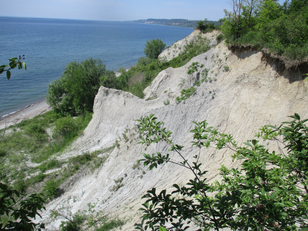
The Scarborough Bluffs that we see today have changed significantly since 1793 when Elizabeth Simcoe named them while exploring the area around the newly founded town of York. Through her diaries we have the records of the original hiker in the area. The bluffs have been receding inland for the past 12,000 years ever since their exposure at the end of the last ice age. As York grew into Toronto and then expanded to the GTA the bluffs continued to erode and they way they appear today will most certainly change in the future.
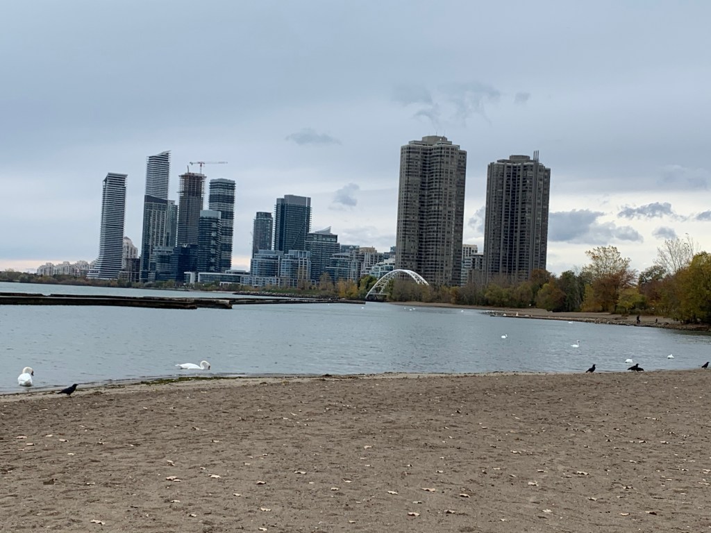
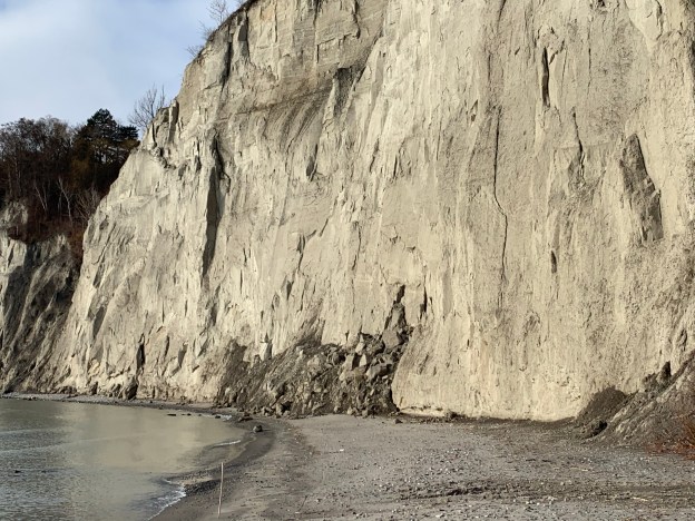
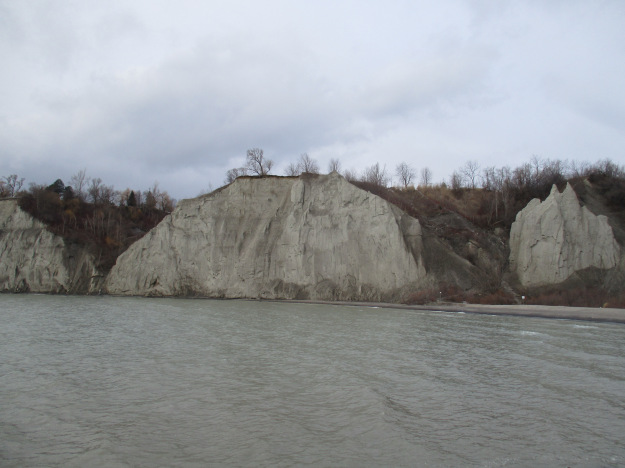
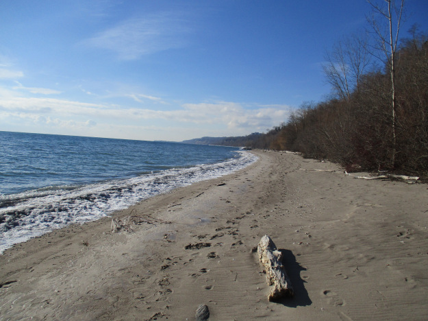
The article below contains links to the eleven stories we wrote as we explored the various sections of the bluffs. They are arranged from west to east which is roughly the sequence in which they were written. Before we get started though, we present a new photograph that was taken on December 15th 2020 at Bluffer’s Park. Notice the dark pile of sand at the water’s edge and the horizontal shelf about two thirds of the way up. This is the remnant of a slide that took place on August 24, 2020.

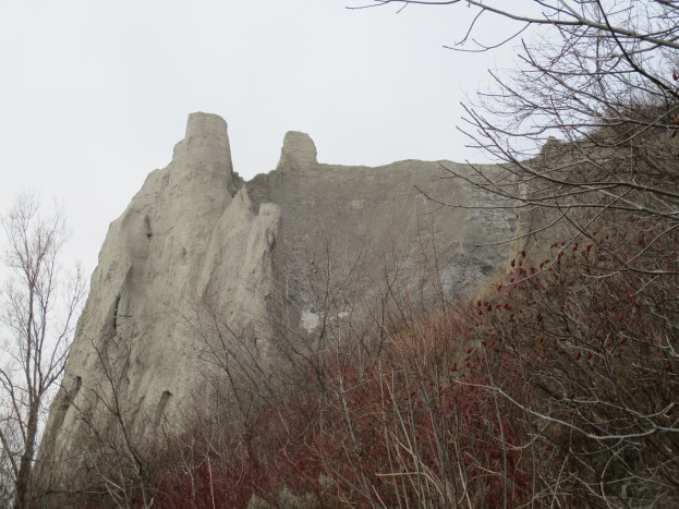
The picture below was taken in January 2016 before the slide took place. In the right of the picture is a section of sand that is topped by two pointed spires. In the recent picture one of those spires is missing and the other is much more rounded.
We now present the detailed blogs about each of the sections of the Scarborough Bluffs. Click on the link to find more pictures and the stories behind each section.
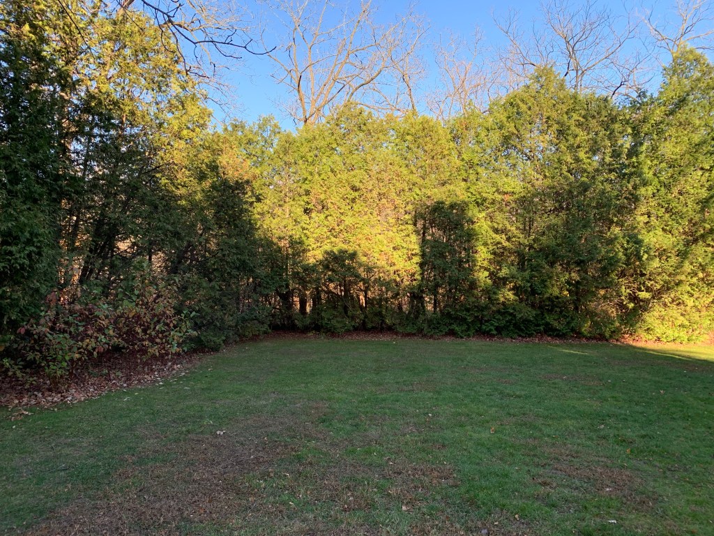
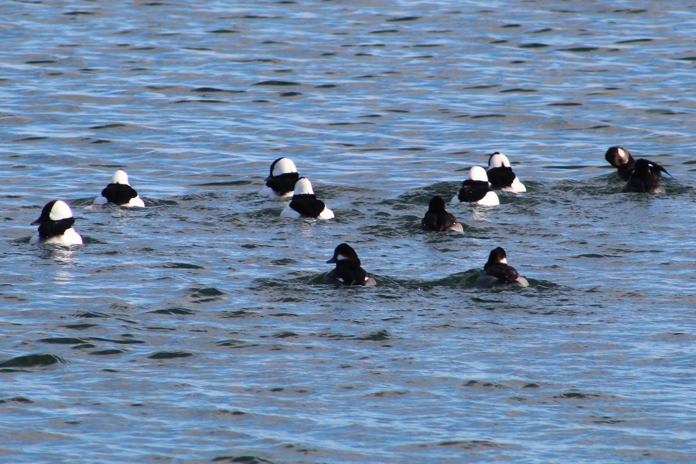
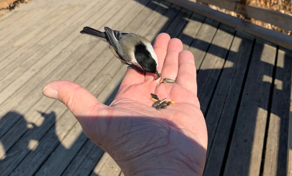
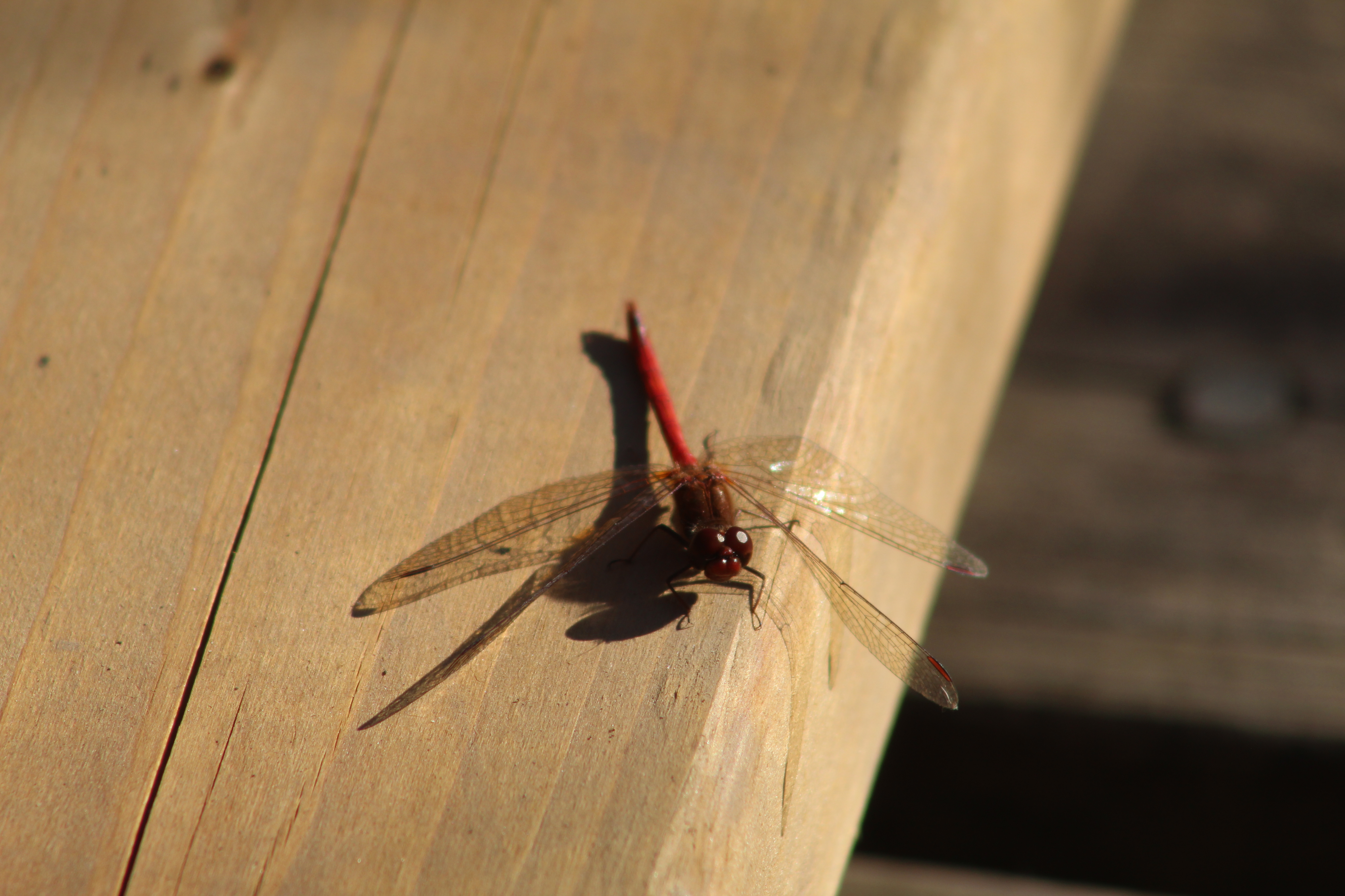
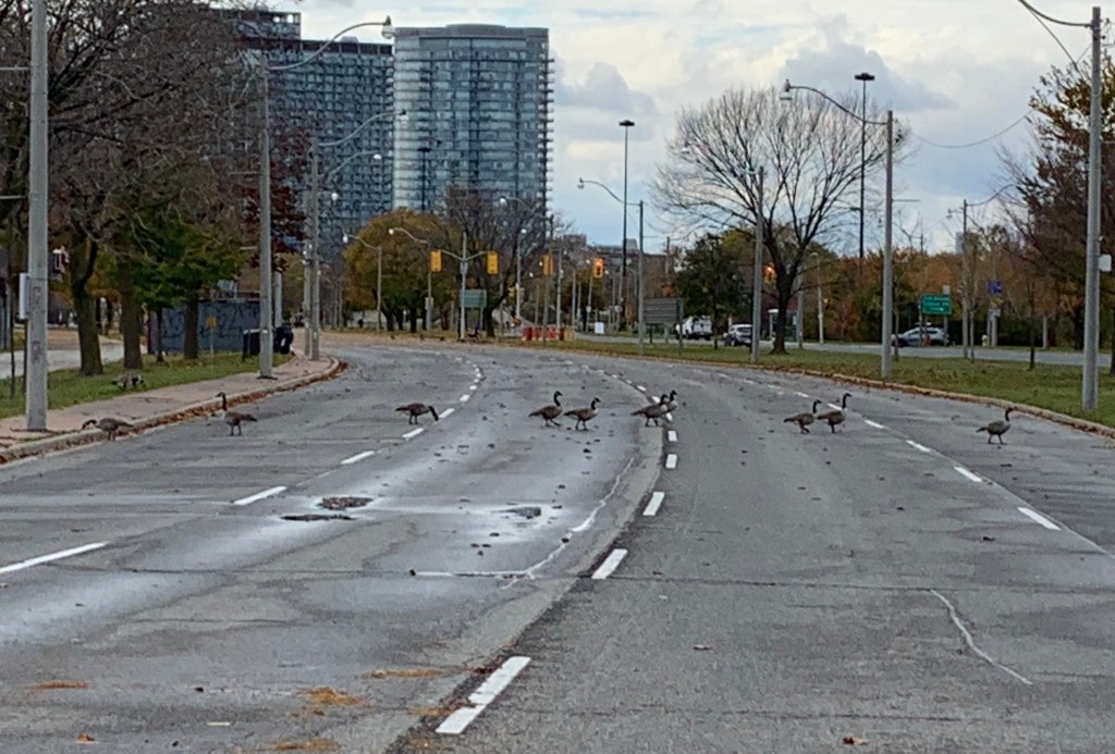
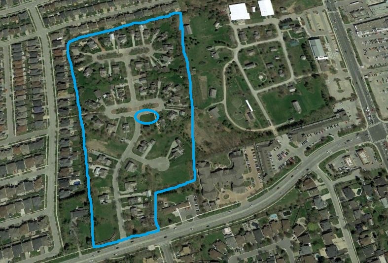
Rosetta McClain Gardens sit on top of the western end of the bluffs and is one of the most beautiful places in the city. The gardens were laid out by Rosetta McClain and her husband and have been in use as a city park since 1959. Aside from all the birds that can be seen in the park it has a view from on top of the Bluffs out over the lake.

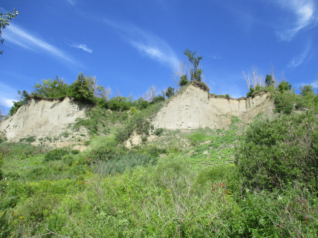
Sand Castles was the first one written and tells the geology of the formation of the Bluffs. It also looks at the section of the Bluffs that can be accessed to the west of Bluffers Park.
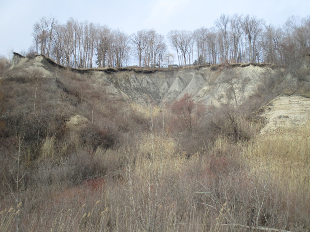
Erosion at Cathedral Bluffs describes some of the forces effecting the stability of the bluffs and follows them to the east of Bluffers Park.
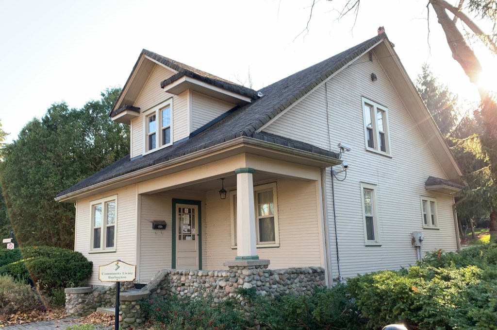
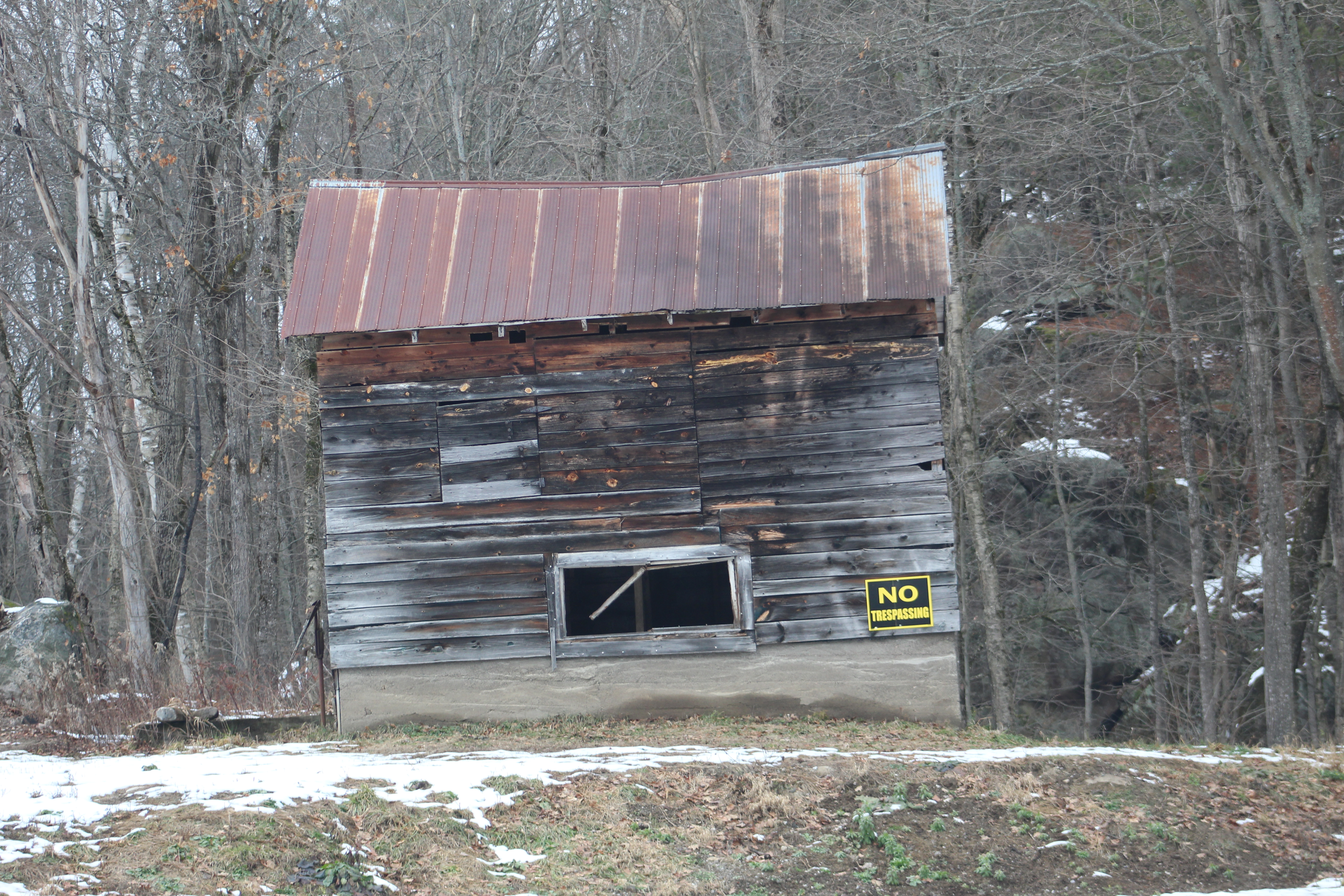
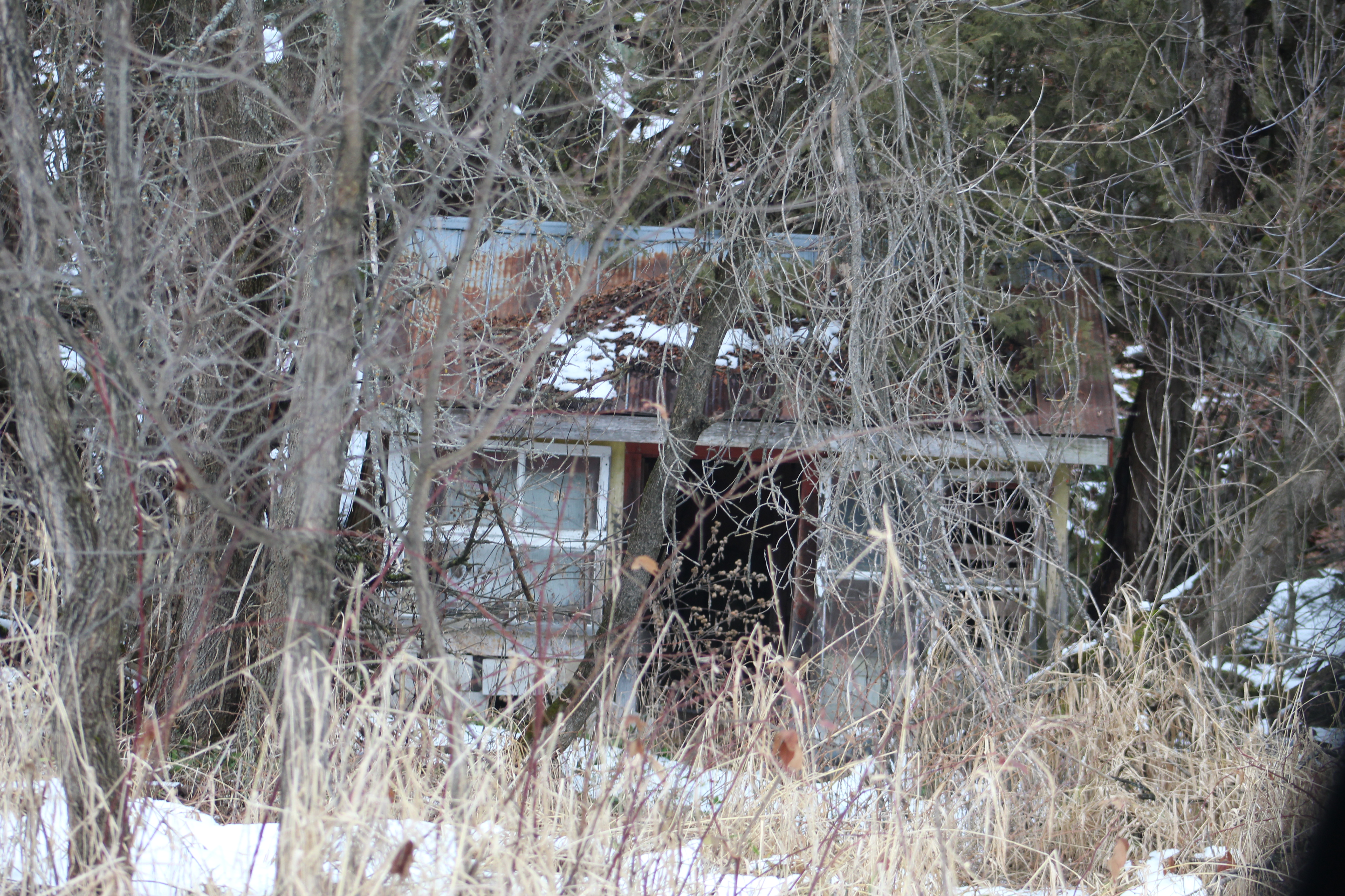
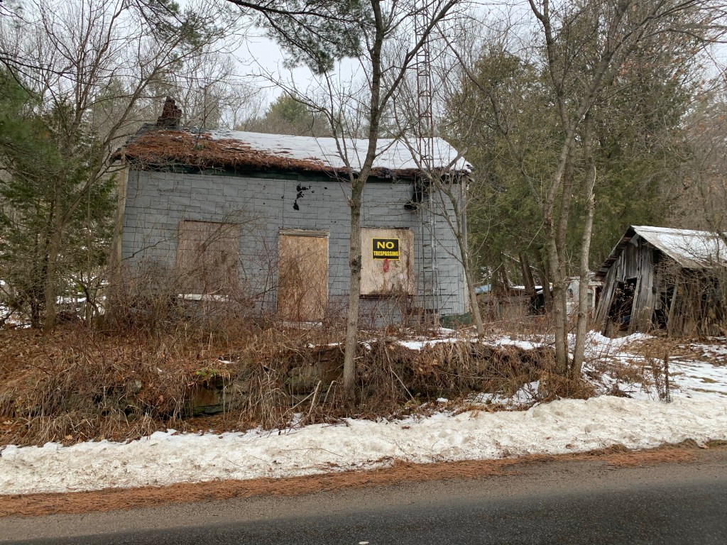
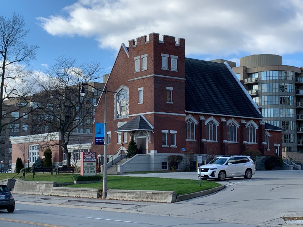
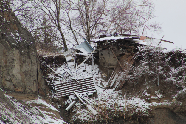
The Hilarious House Of Frightenstein is located just west of the Gates Gully access to the bottom of the Bluffs. Several houses have fallen prey to the forces of erosion as the land has disappeared out from underneath them. The house in this story used to belong to Billy Van who starred in many roles in the TV show The House of Frightenstein. Just a few years ago the property owners were cutting the grass in the back yard of this house which today is almost completely destroyed.
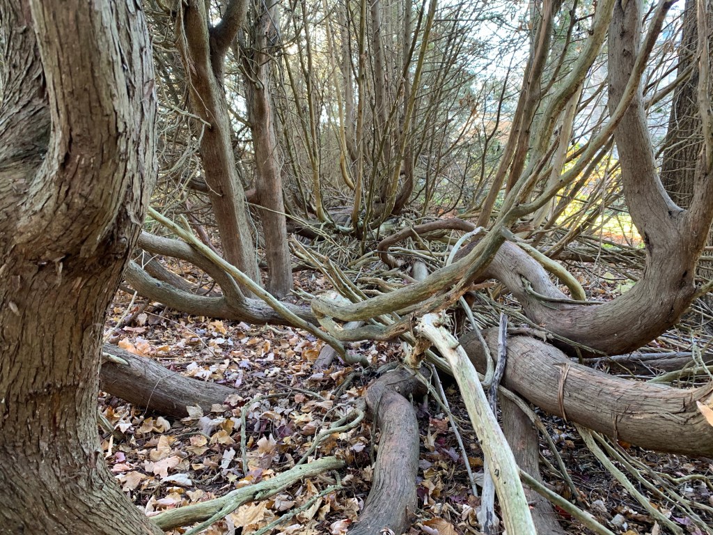
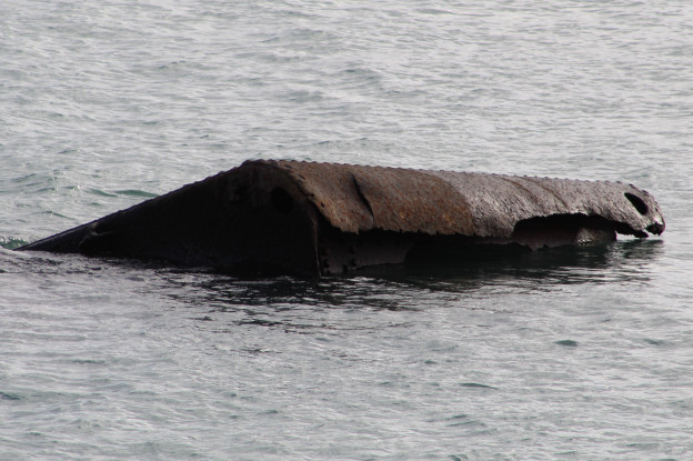
Gates Gully provides a trail to the bottom of the Bluffs and has quite the history of its own. Along with stories of smugglers and sunken ships it also claims to have buried treasure from 1813. The trail through the gully is named after Dorthy McCarthy who was one of the early artists to take up residence on the Bluffs. The artwork at the bottom of the trail is known as the Passage.

The Alexandria was a steamship
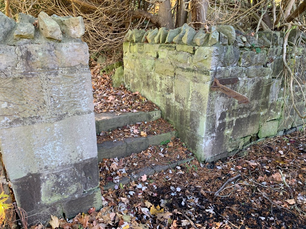
South Marine Park Drive is an old construction road that has been turned into a linear park that runs west from the access road beside the Guild Inn. The road was used to create what is known as a hard shoreline which is intended to slow down the erosion of the Bluffs. Old construction materials and parts of demolished buildings were dumped along the shore destroying the natural interface between the lake and the land.
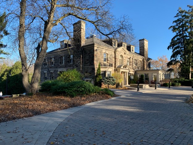
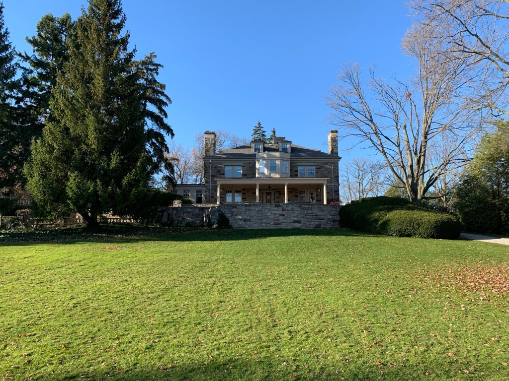
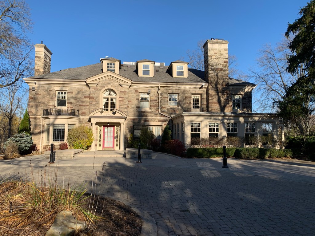
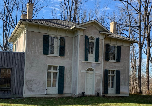
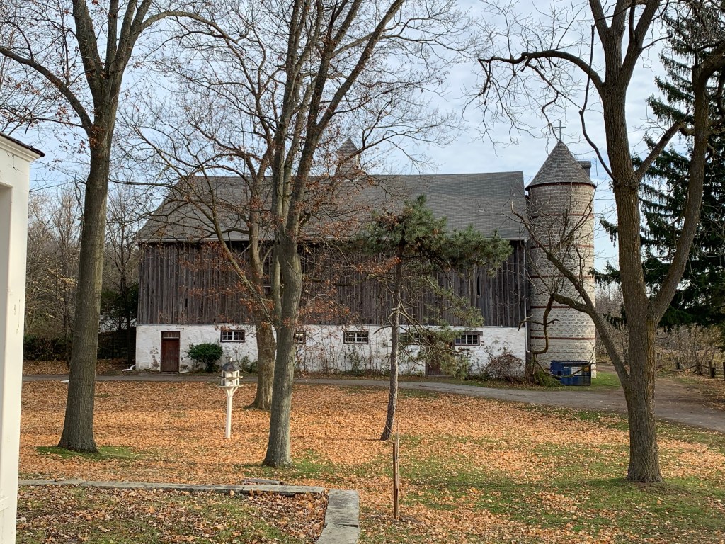
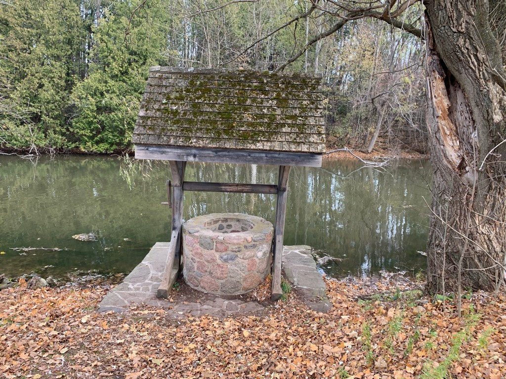
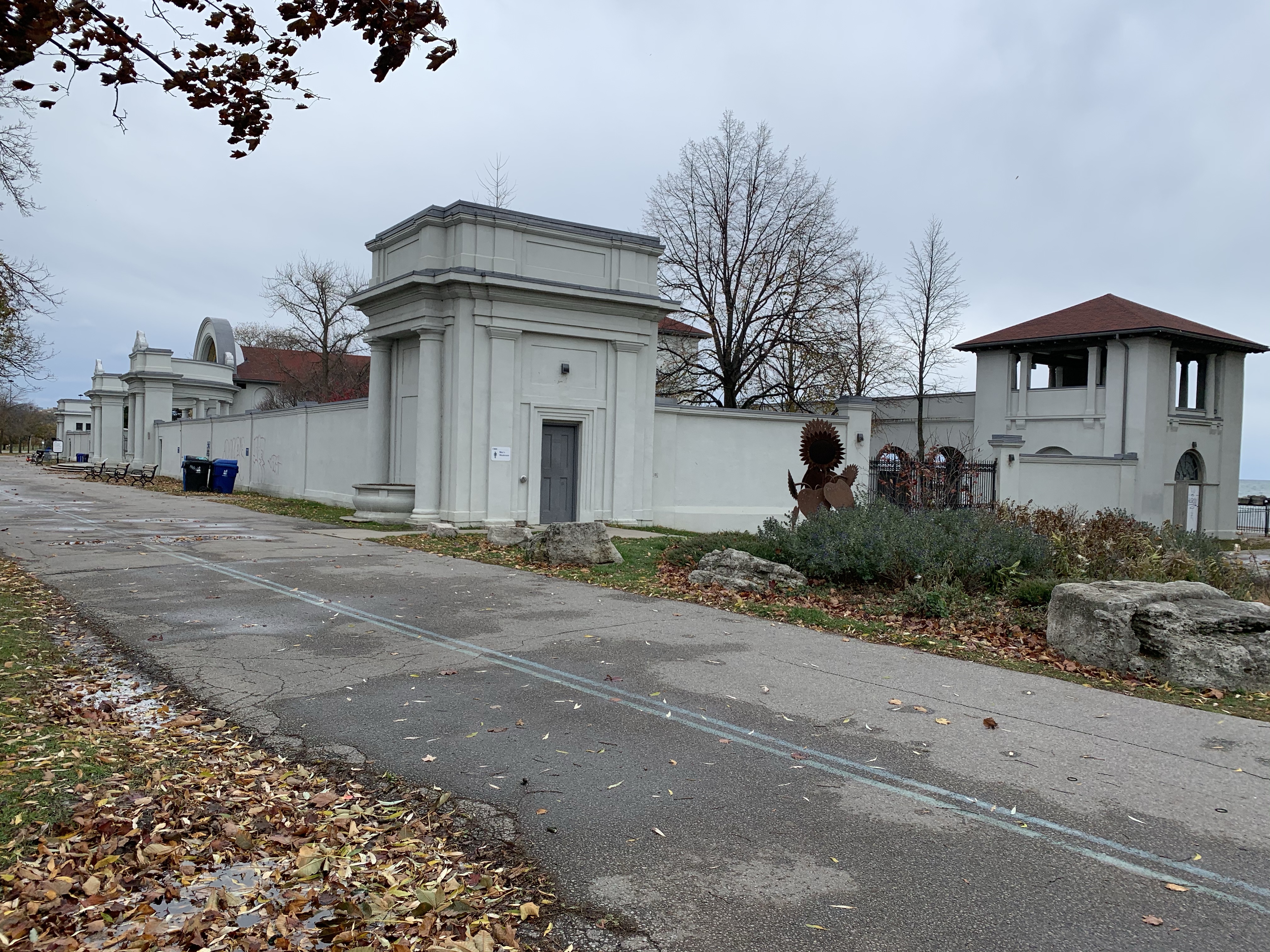
Guildwood Park sits on top of the Scarborough Bluffs and contains a newly restored Guild Inn. It is also home to pieces that were salvaged from early Toronto buildings that were demolished. These are presented as artwork throughout the property.

Beachcombers is the title we selected for the section of the Bluffs that runs east from the Guild Inn toward East Point Park. Up until now this section of the Bluffs has a natural beach that allows the lake to deposit a wide variety of stuff onto the beach. We met a couple who regularly walk this section looking for the most recent treasures. It sounds like the Toronto Region Conservation Authority will be going ahead with a plan to hardline this shore, thereby destroying one of the last natural sections of the Bluffs.
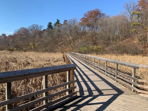
East Point Park has an upper meadow, wetlands, a segment of the Scarborough Bluffs and a lengthy beach. The meadow is a staging area for Monarch Butterflies as they prepare to migrate south for the winter.
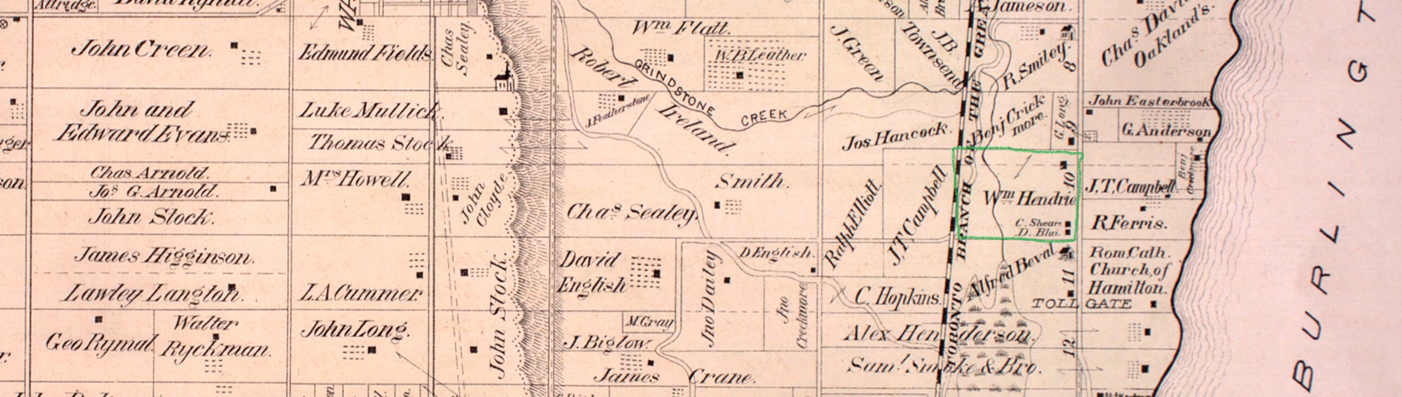
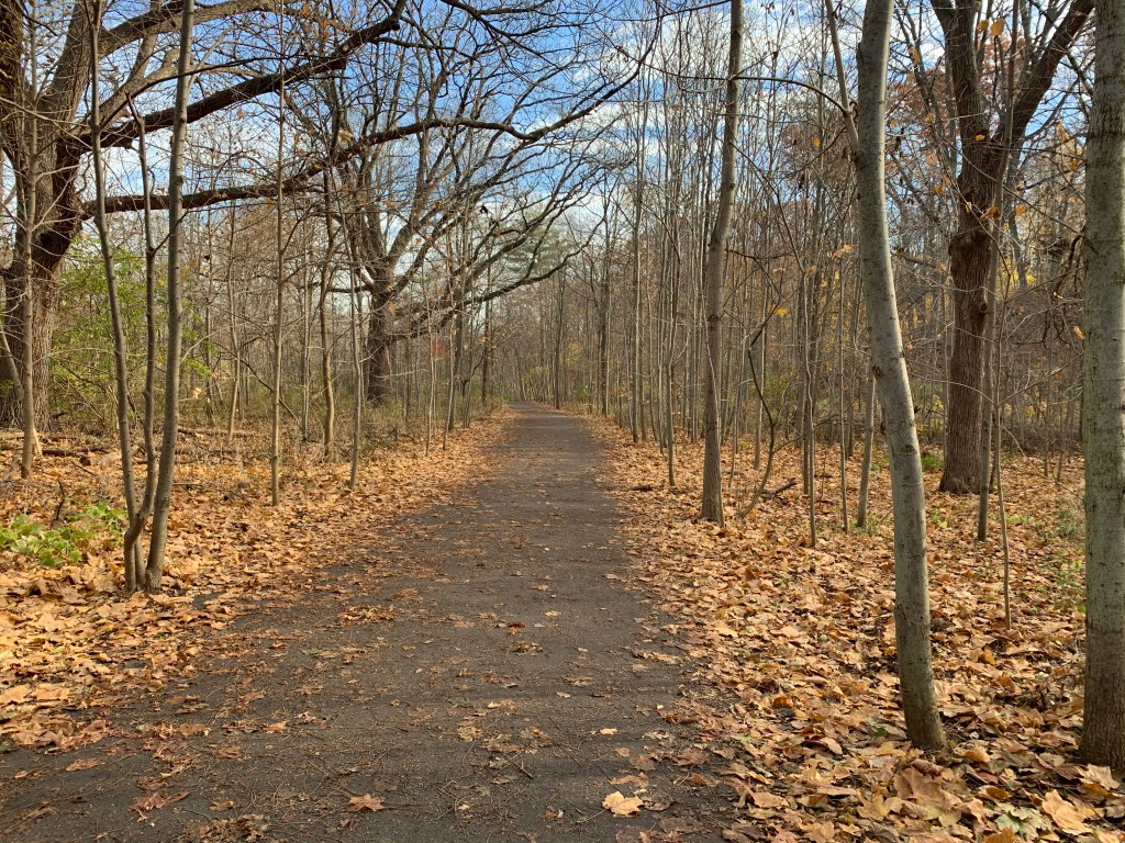
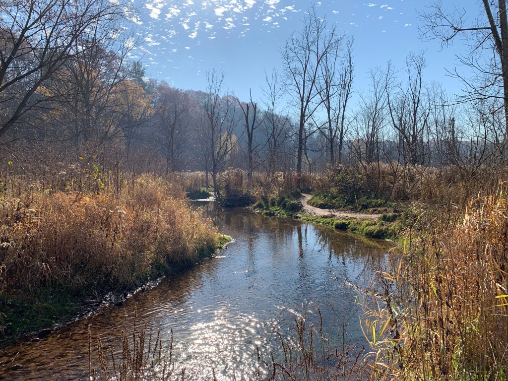
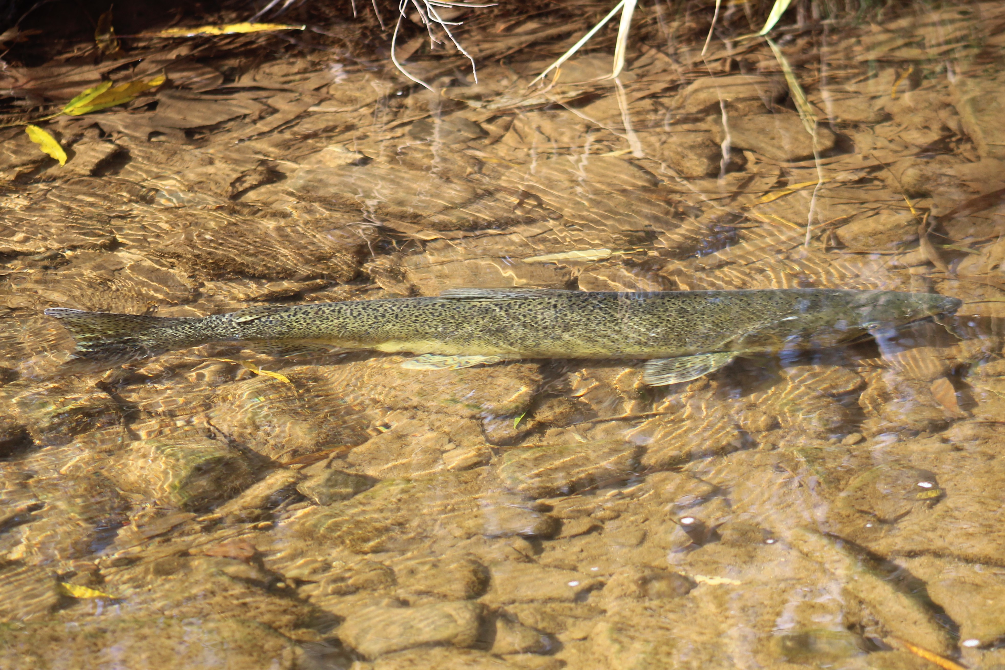
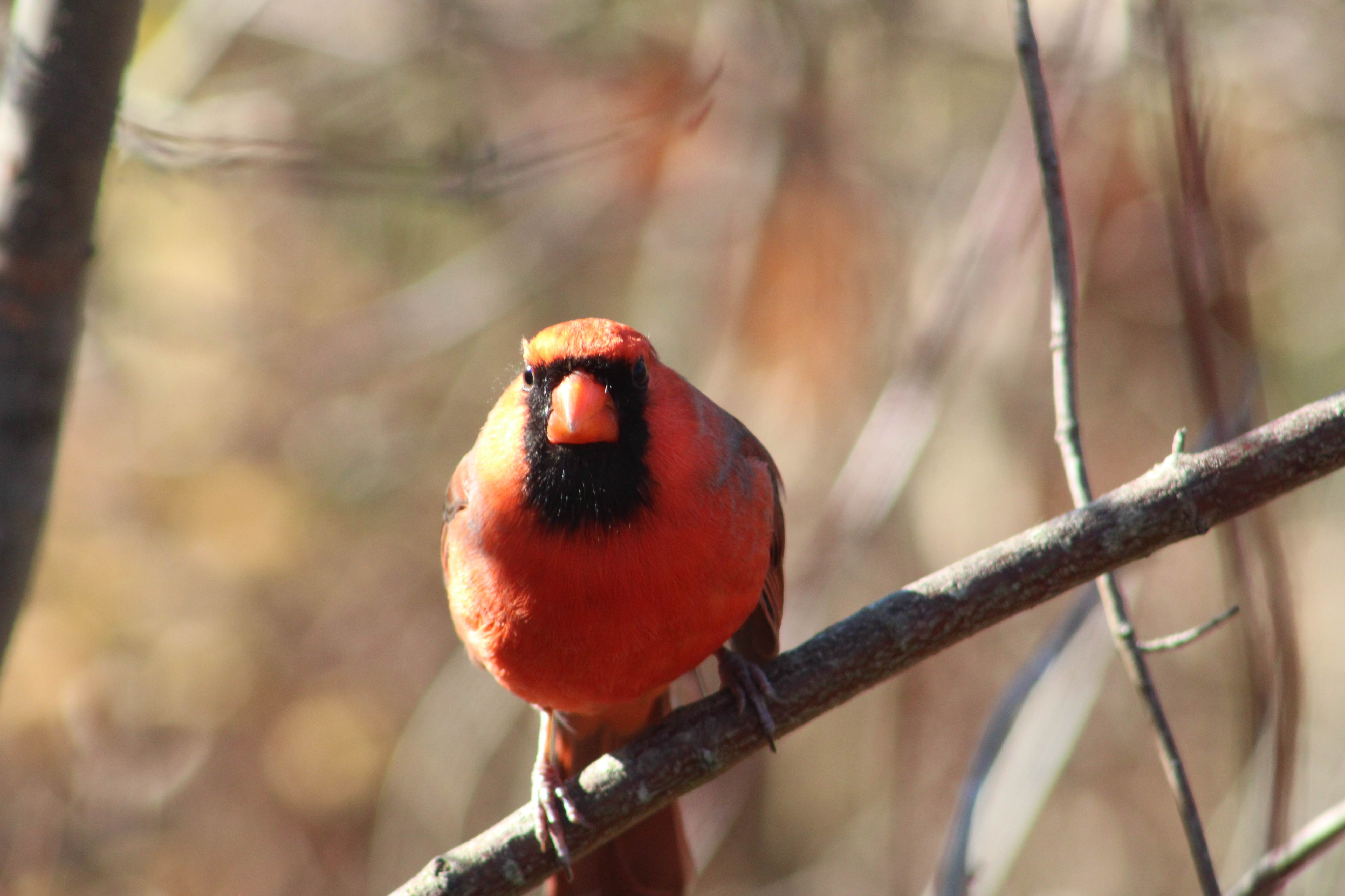
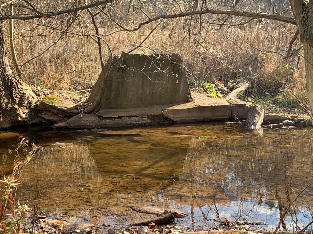
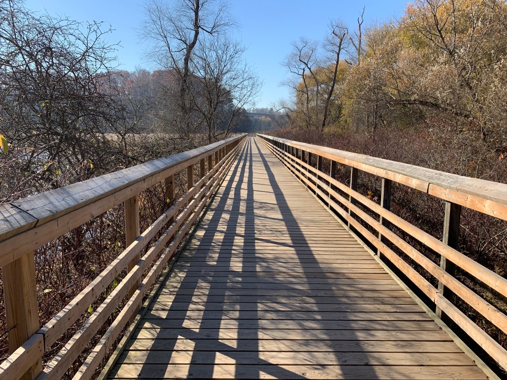
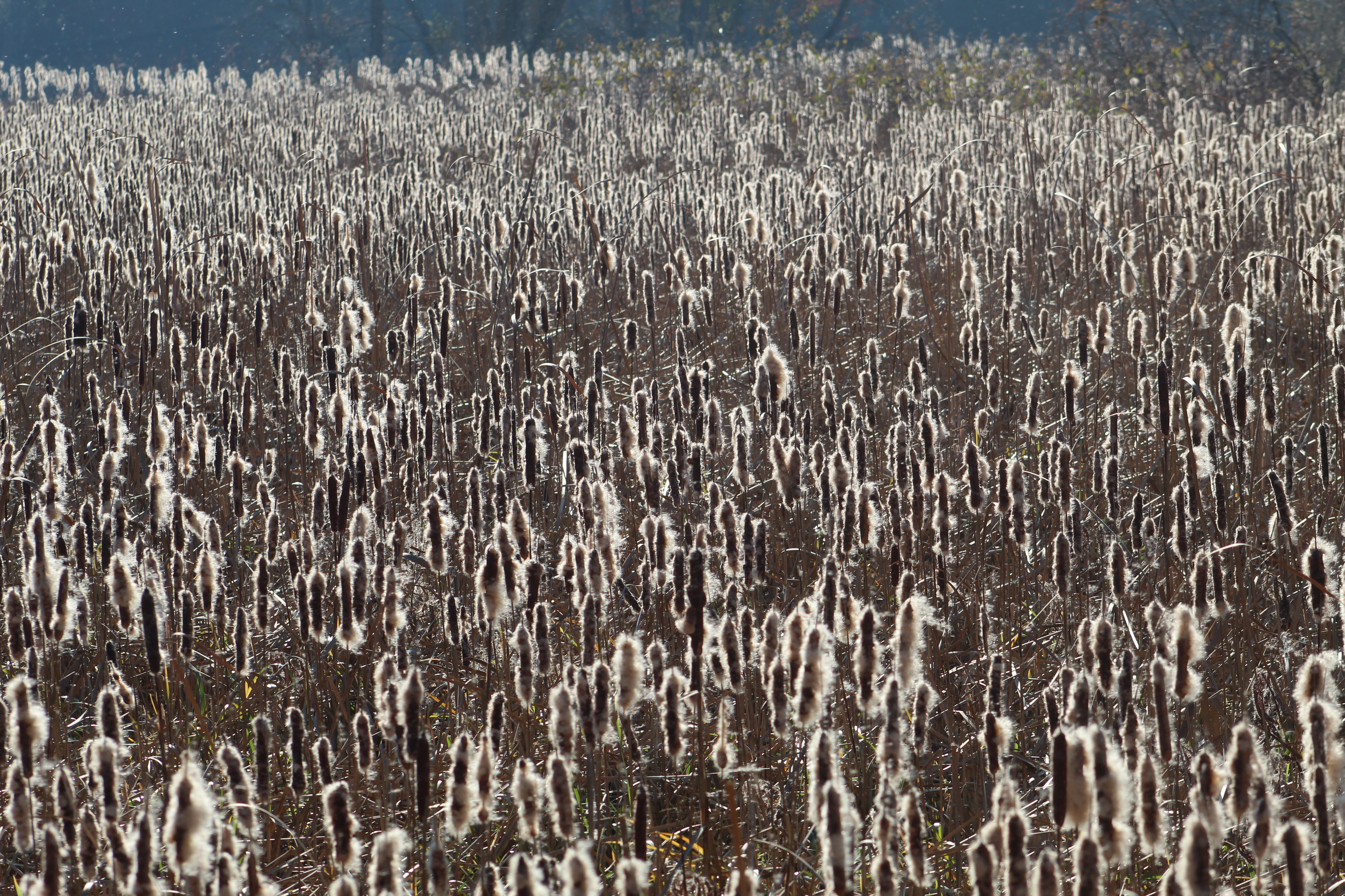
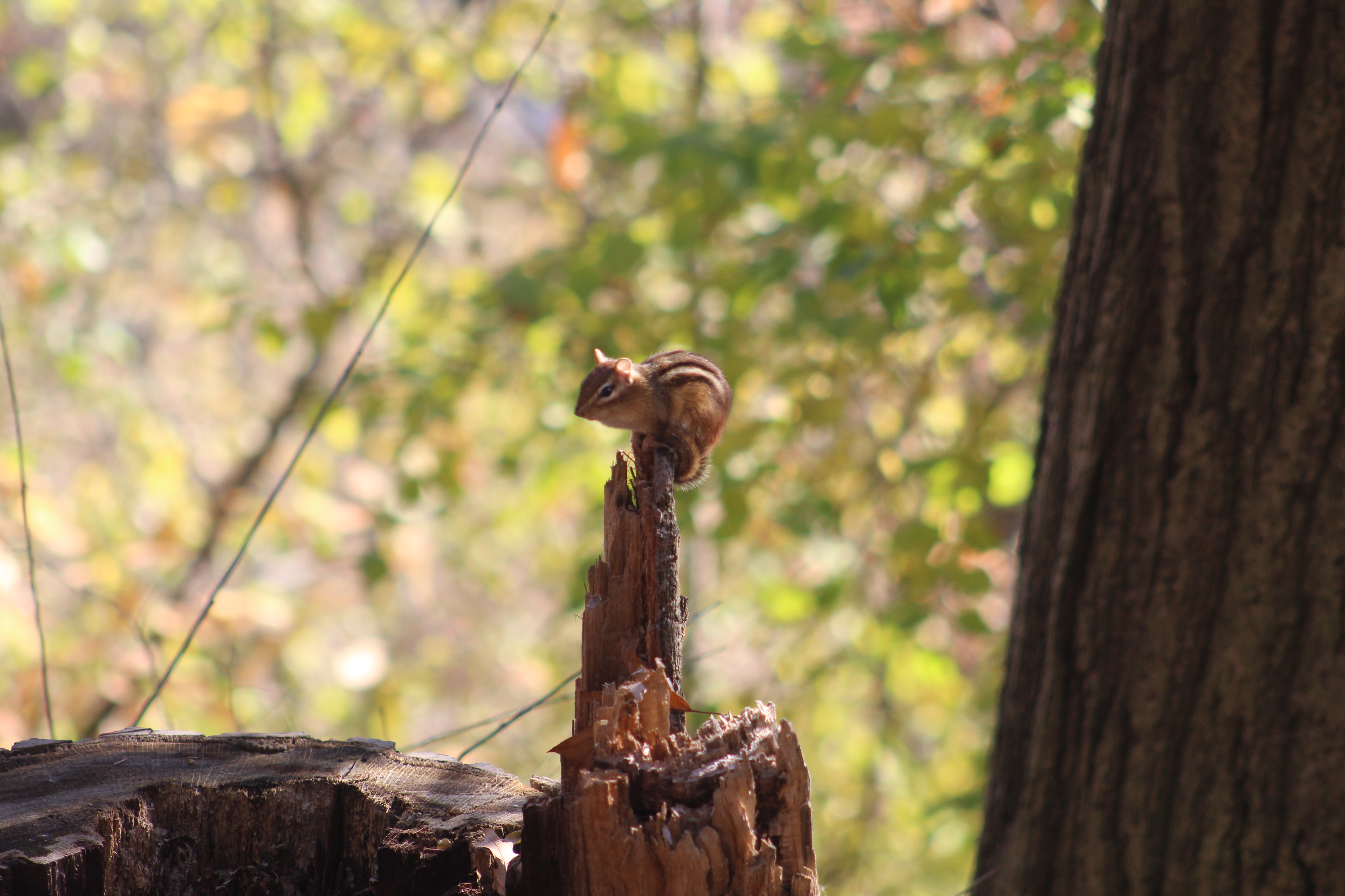
Highland Creek marks the eastern end of the Scarborough Bluffs and has plenty of natural spaces which provide homes to its varied wildlife.

It isn’t possible to hike from one end of the Bluffs to the other at water level because of places where the lake and bluffs meet but you can explore most of it by approaching it in sections.
Google Maps Links are provided in each individual story.
Like us at http://www.facebook.com/hikingthegta
Follow us at http://www.hikingthegta.com
Also look for us on Instagram