Bond Lake

Sunday September 4, 2016

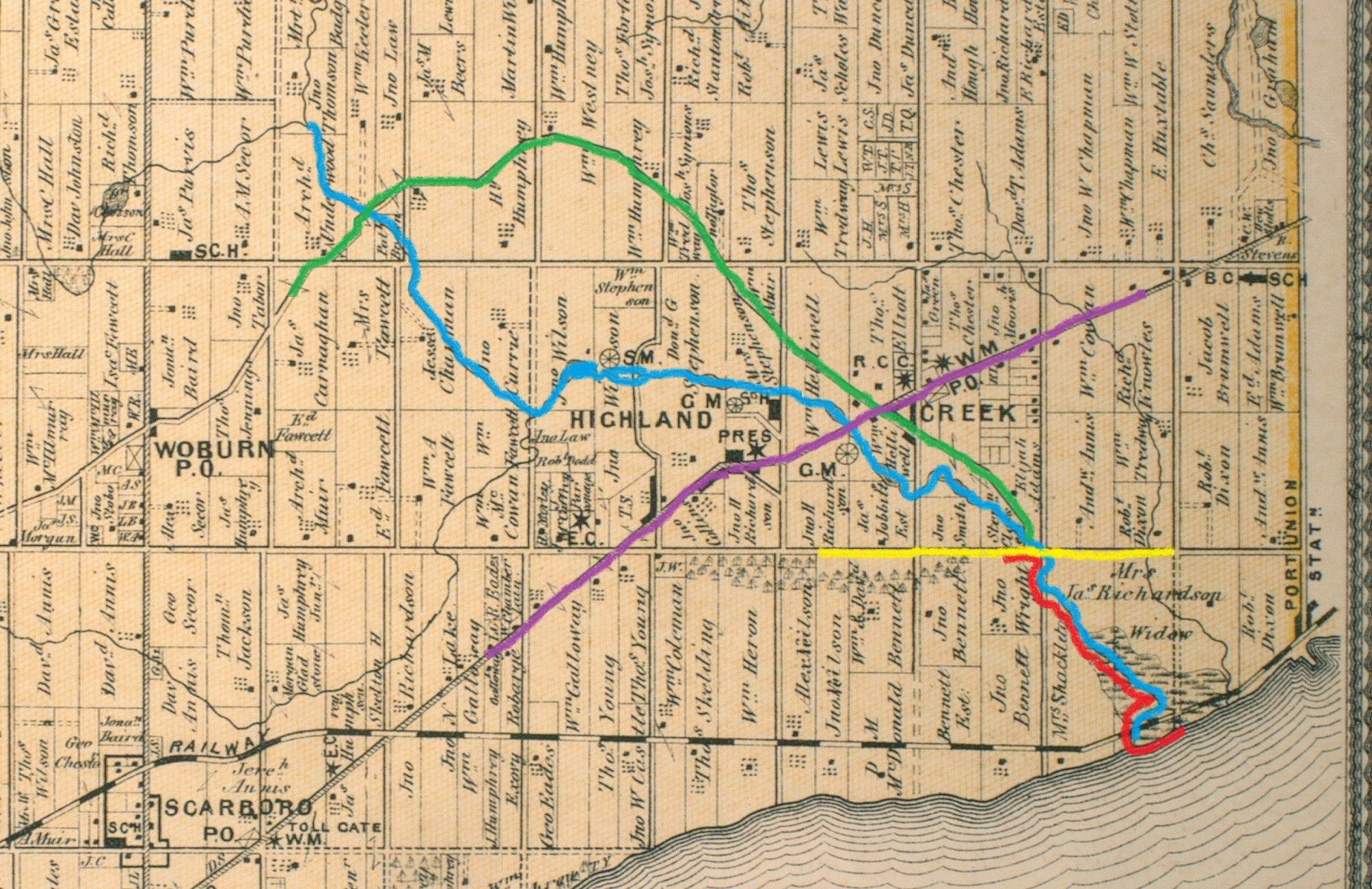
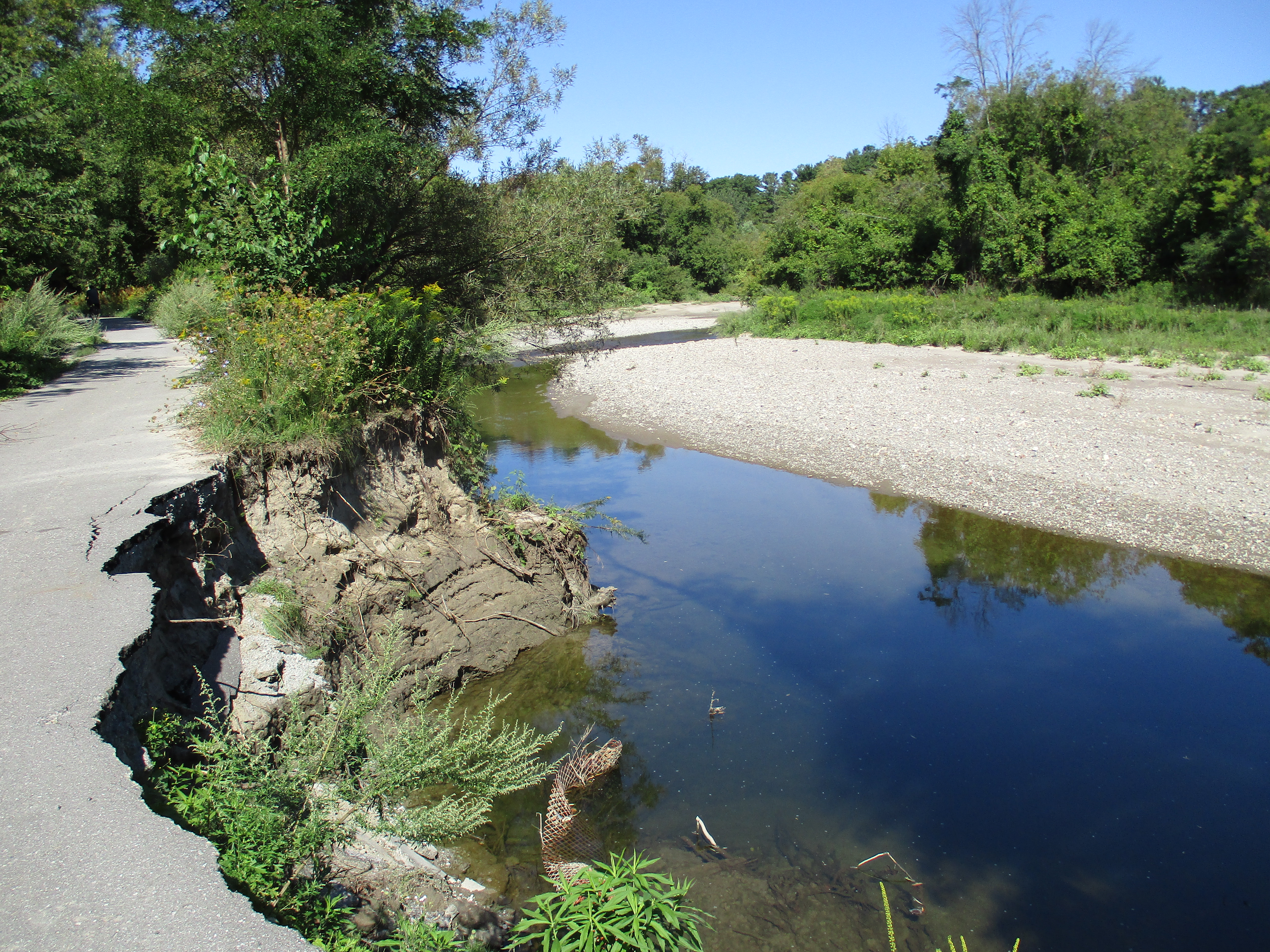
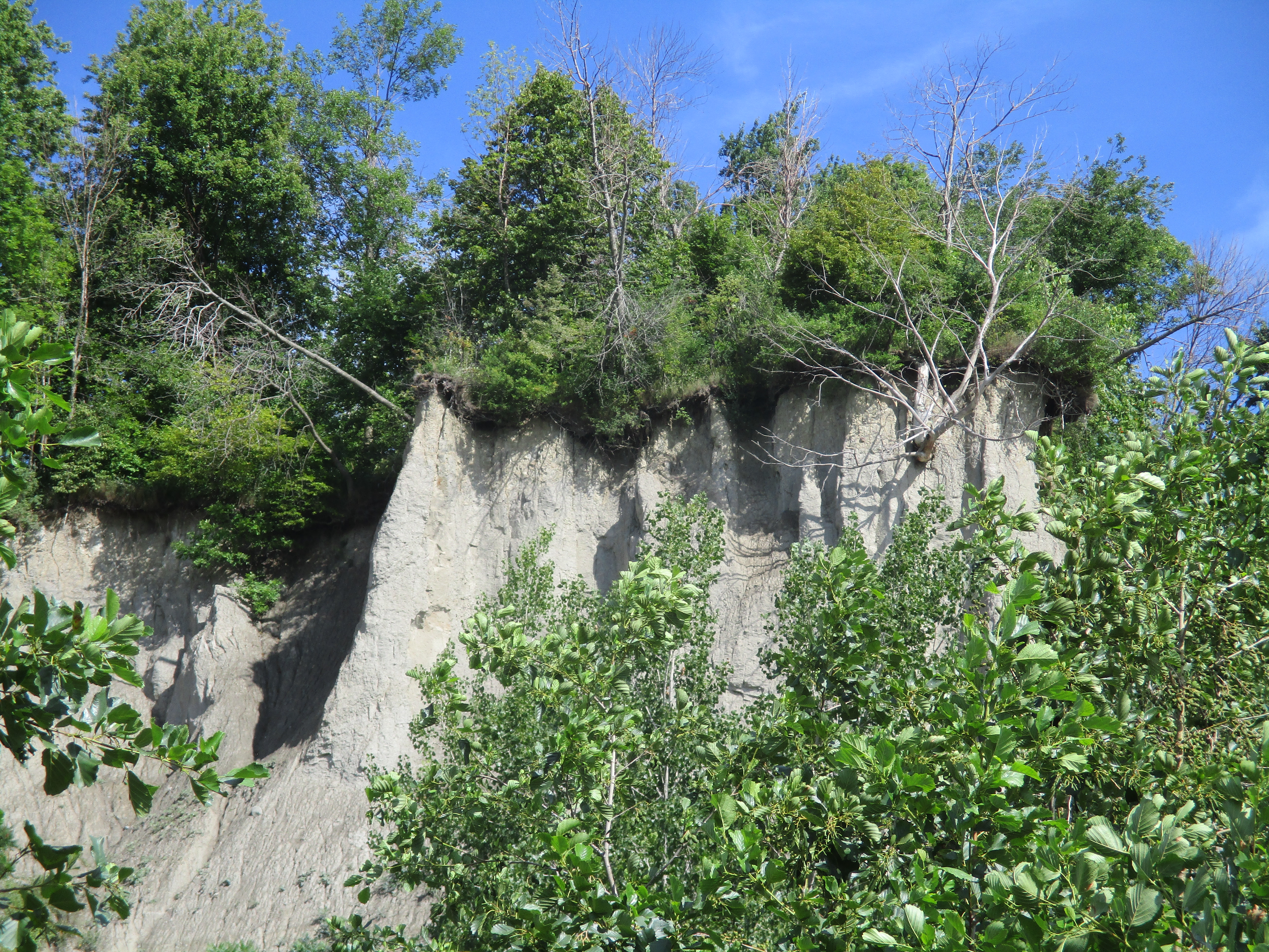
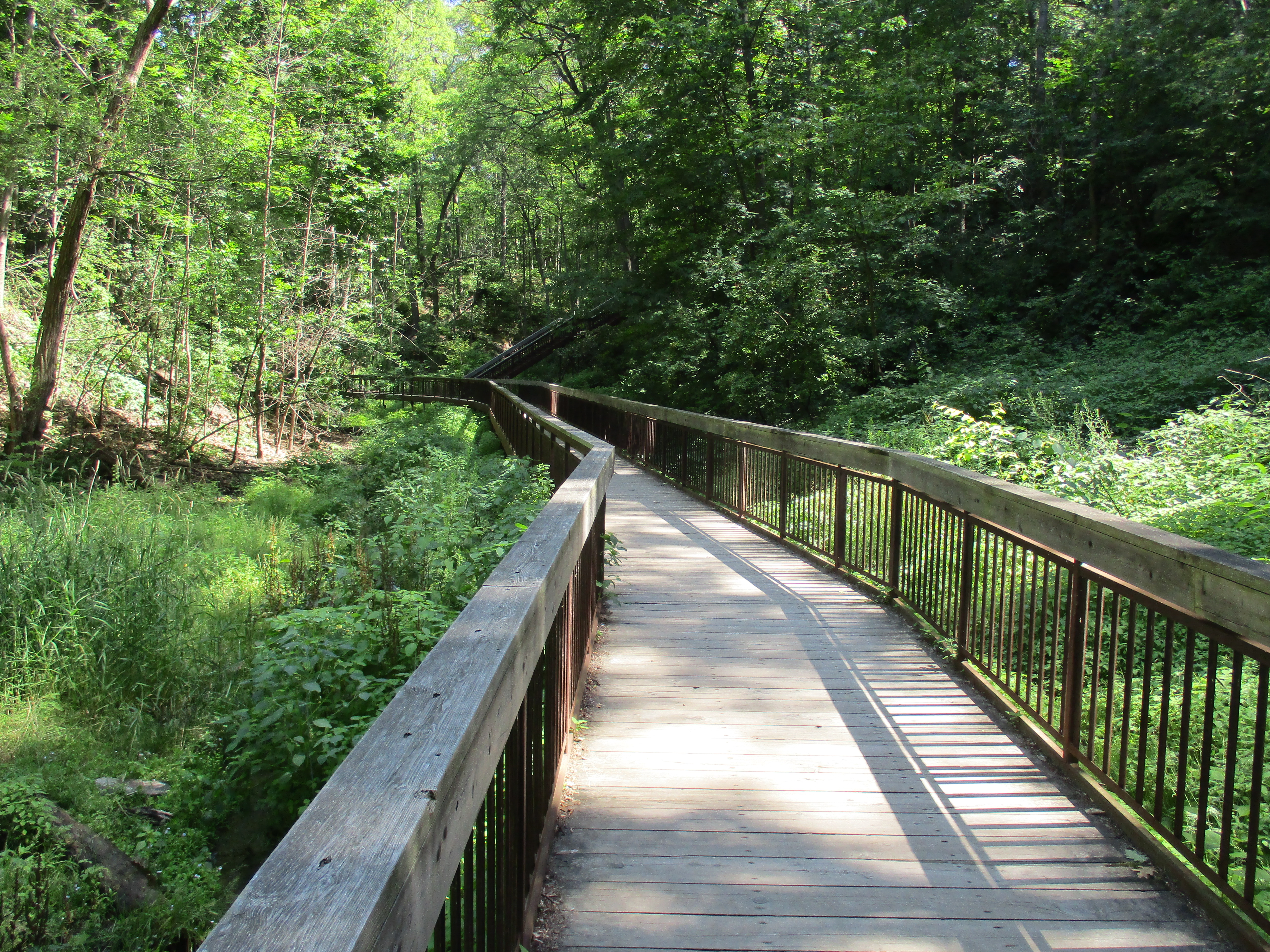
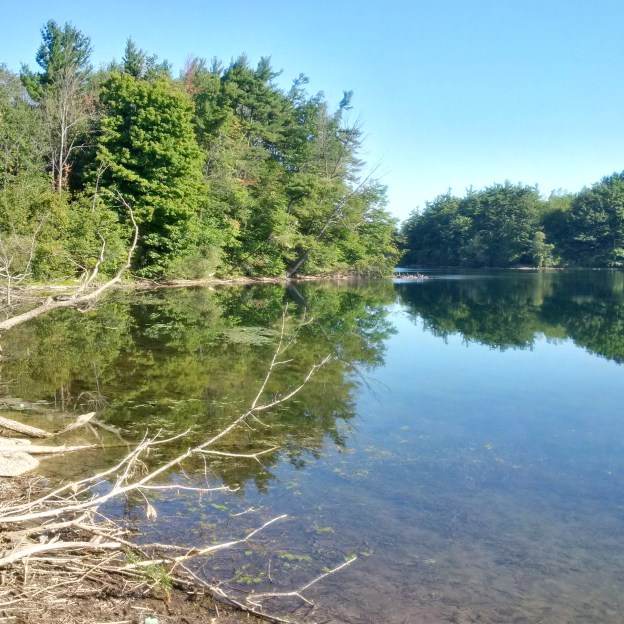
Bond Lake is a 55 acre, spring fed lake, just north of Richmond Hill on Yonge Street.  Perhaps it’s location has been the key to the various uses the lake and surrounding lands have had over the years.  I decided to explore the lake and surrounding trails and so I parked at the end of  Trish Drive where a pathway leads to the Oak Ridges Trail.  This trail extends the length of the moraine and is listed at 260 kilometers long.  The 1877 county atlas below has been marked in brown to show approximately where Old Colony Road and Trish Drive are today.  The route of the hike around the lake is shown in red.

yor-m-whitchurch-2

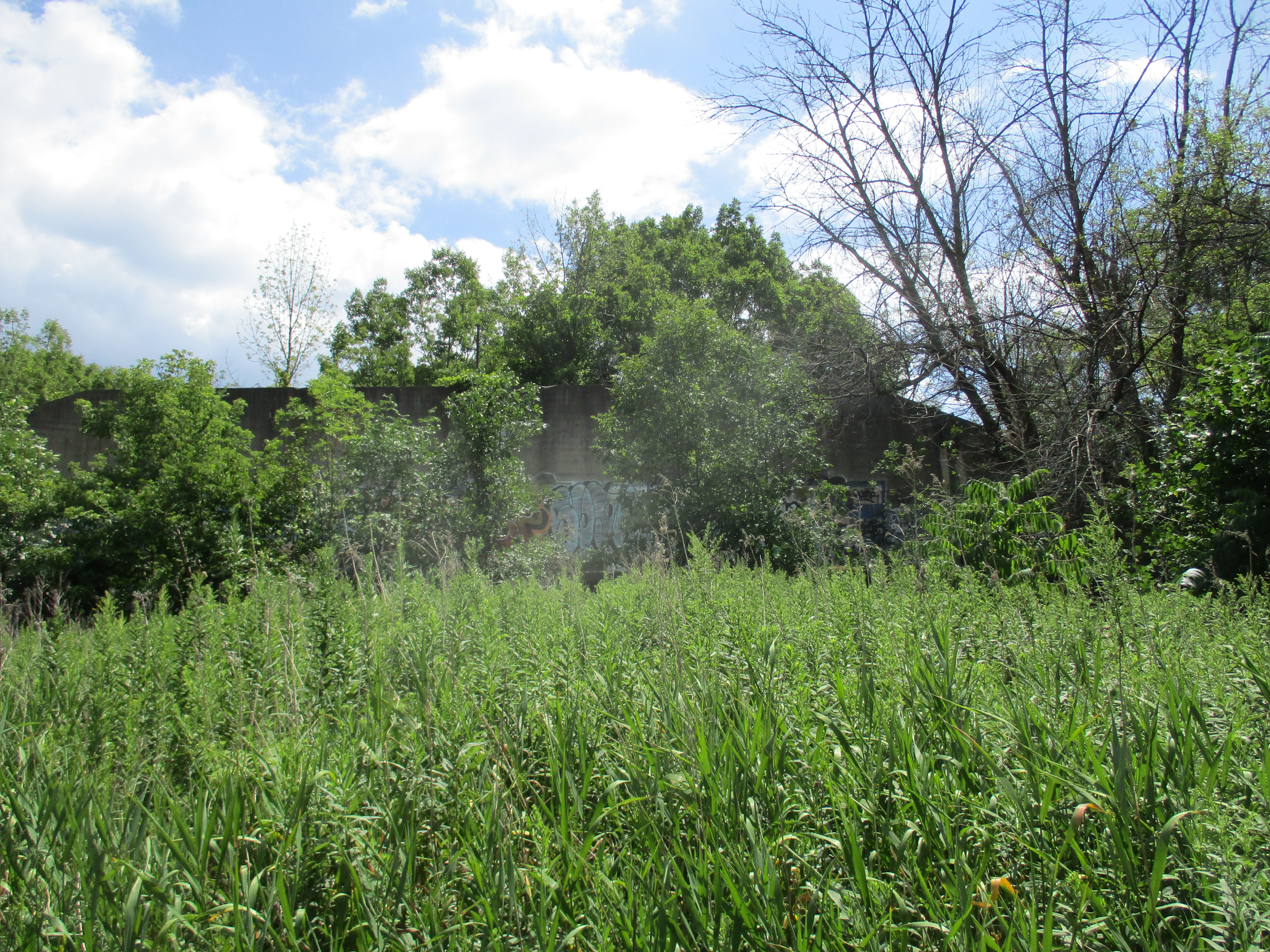
Before I had walked very far along the trail I came to a large stand of sumac trees.  Experience has shown that these often hide signs of habitation and this was no exception.  The foundations for a barn can be found in this bush.  This is likely the barn from the Walker Estate seen on the map above although the Whitney & Morton barn should also be in the same area.

img_20160905_091945_hdr

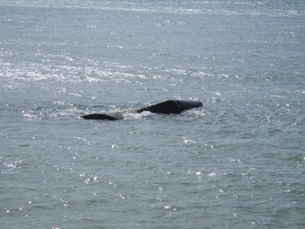
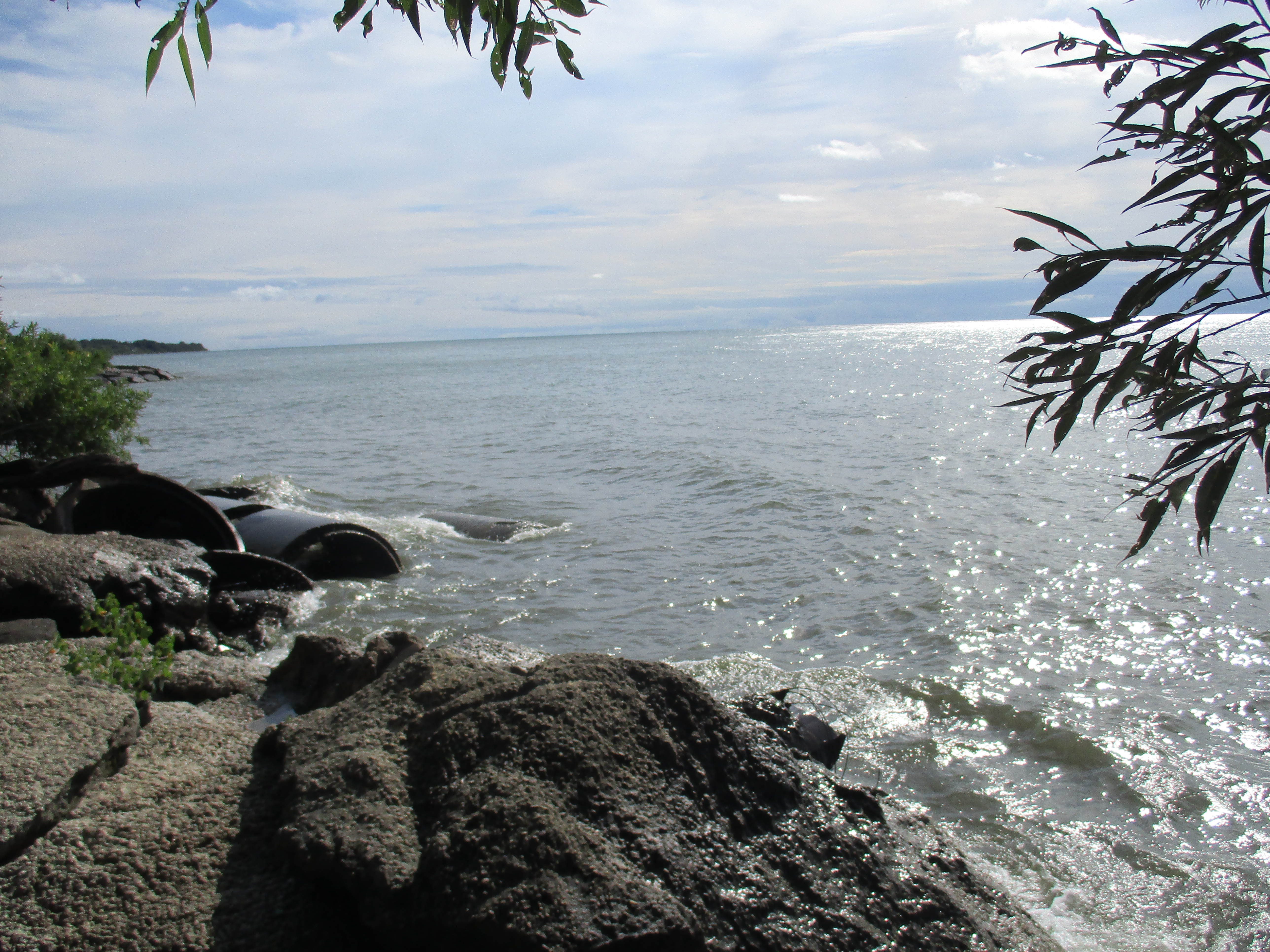
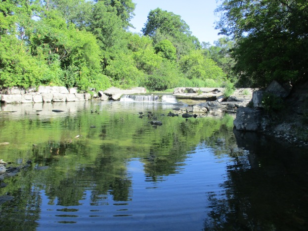
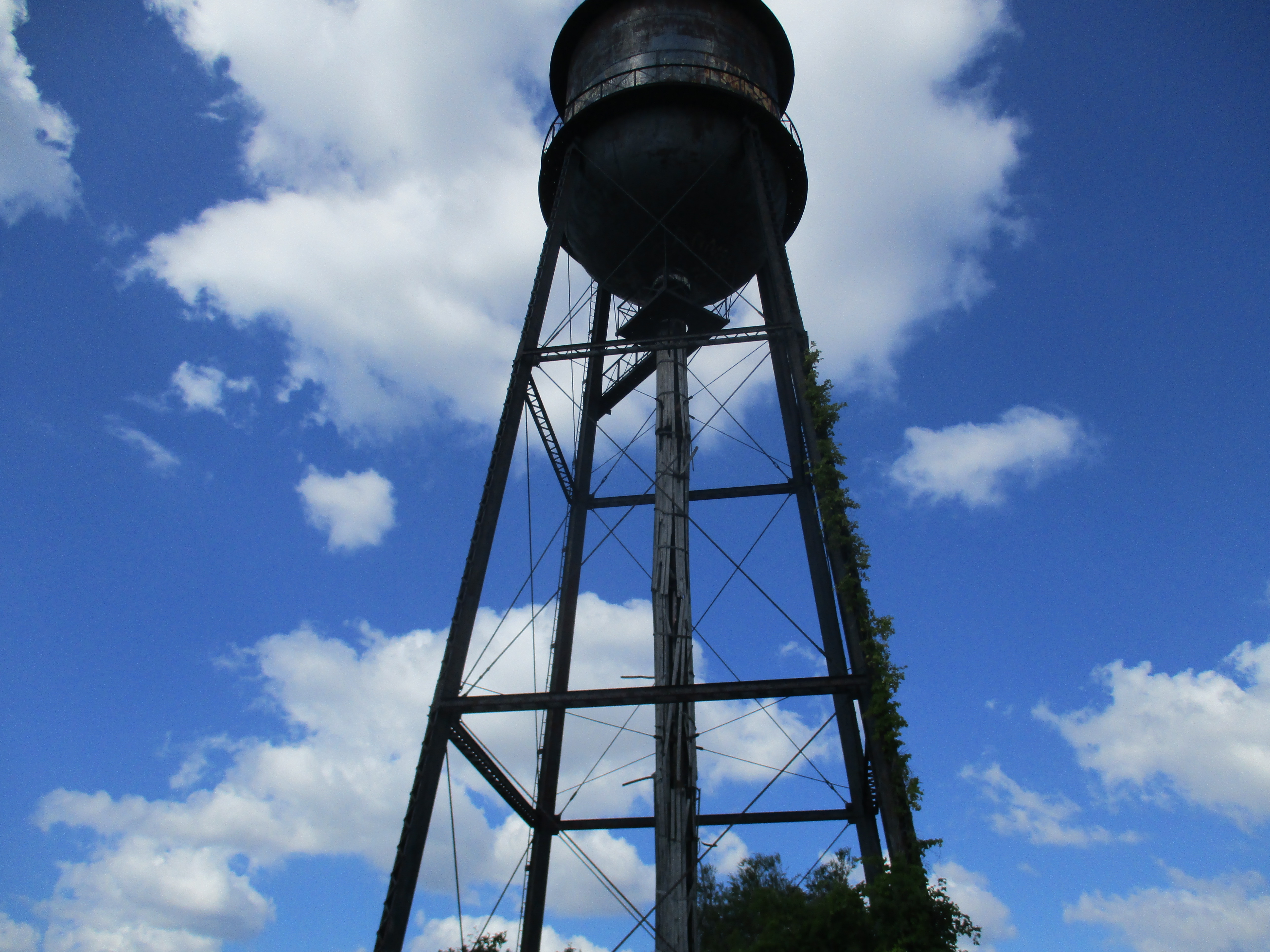
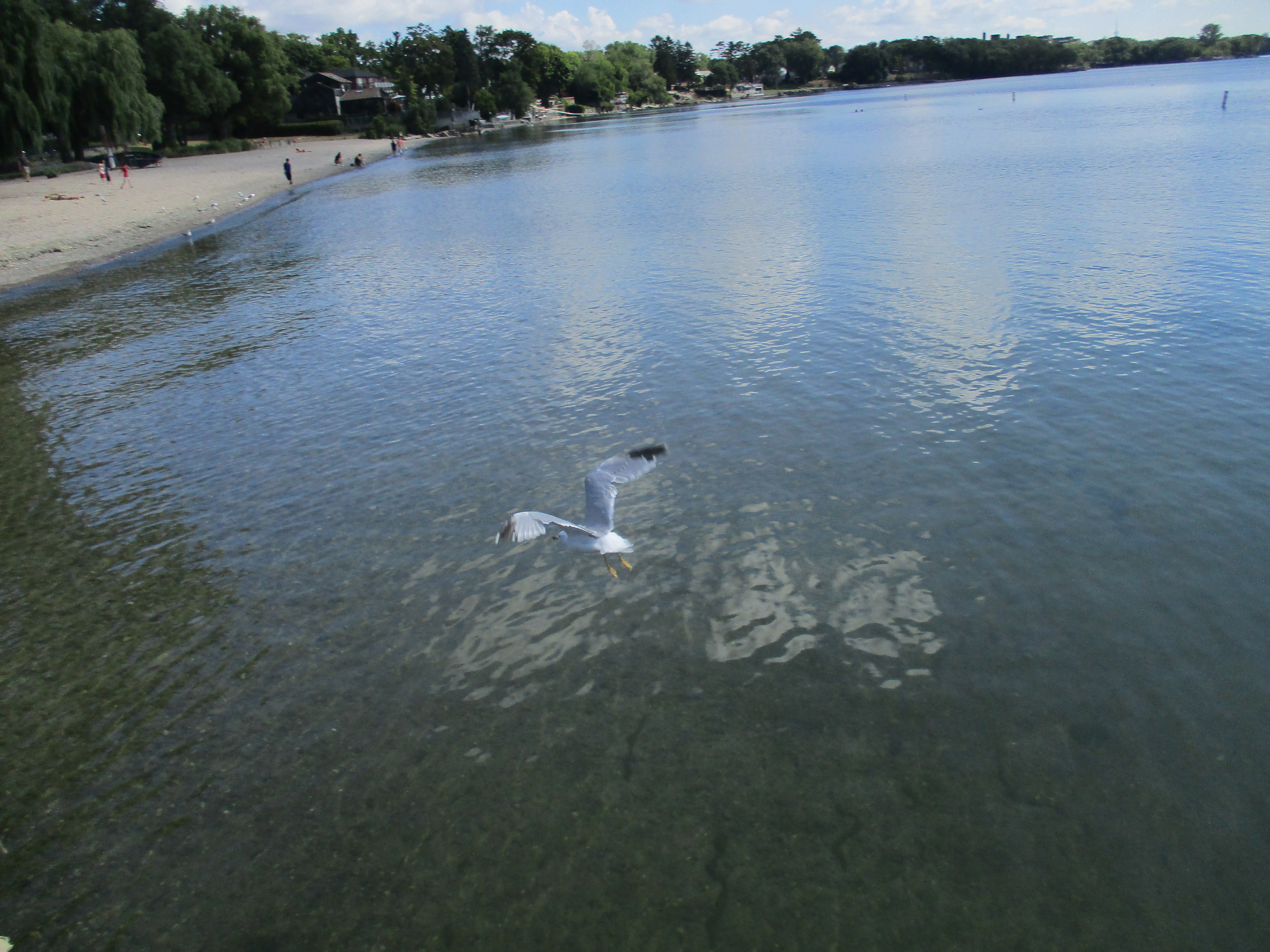
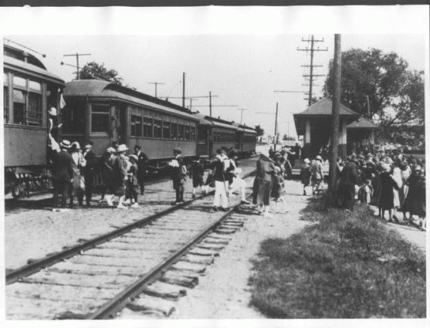
From the earliest days Bond Lake was used for recreational purposes and the first settlers in the area used the lake for fishing, swimming and boating in the summer and curling in the winter.  The Metropolitan Railway extended north from Richmond Hill in 1899 and built an electric generating station at Bond Lake to supply the line north of there with power.  The fact that the lake was already in use for leisure activities led the Metropolitan Street Railway to buy the 200 acre farm around the lake from William Bell.  Along with landscaping the grounds they also set about building the railway sidings and platforms for the tourists they hoped to carry to the lake.  The picture below from the Toronto Reference Library shows people arriving at stop 35, Bond Lake, on June 20, 1924.

bond-radial

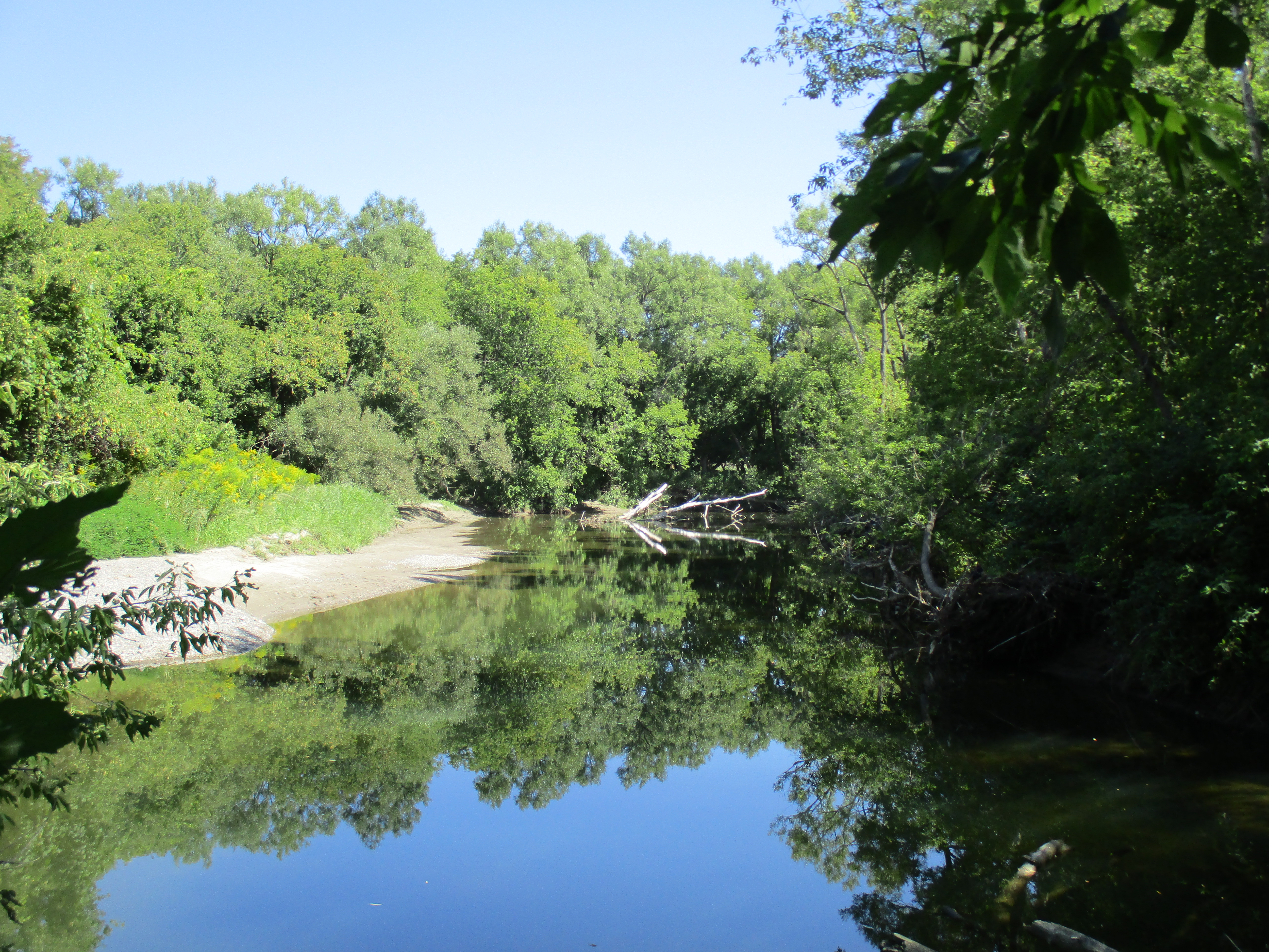
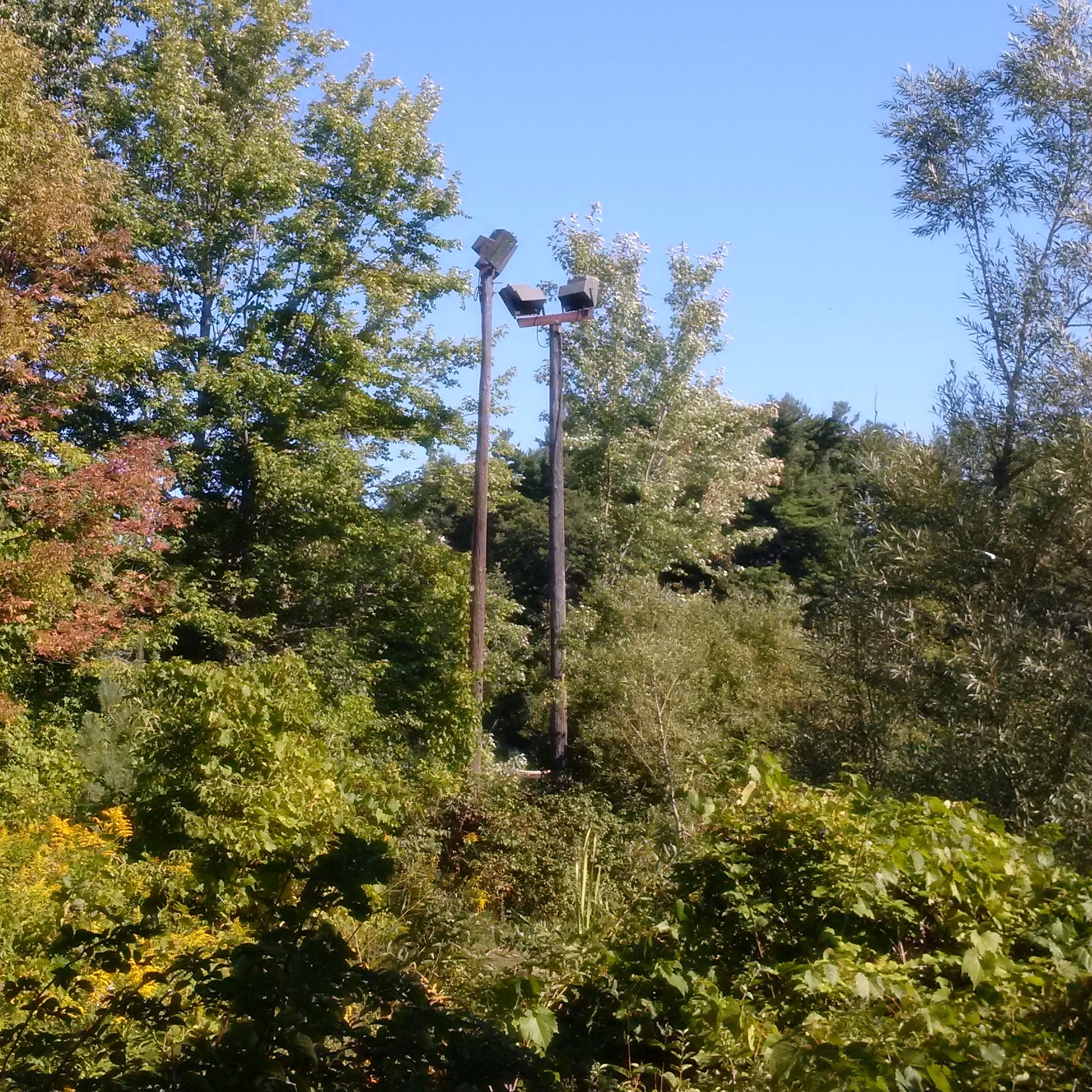
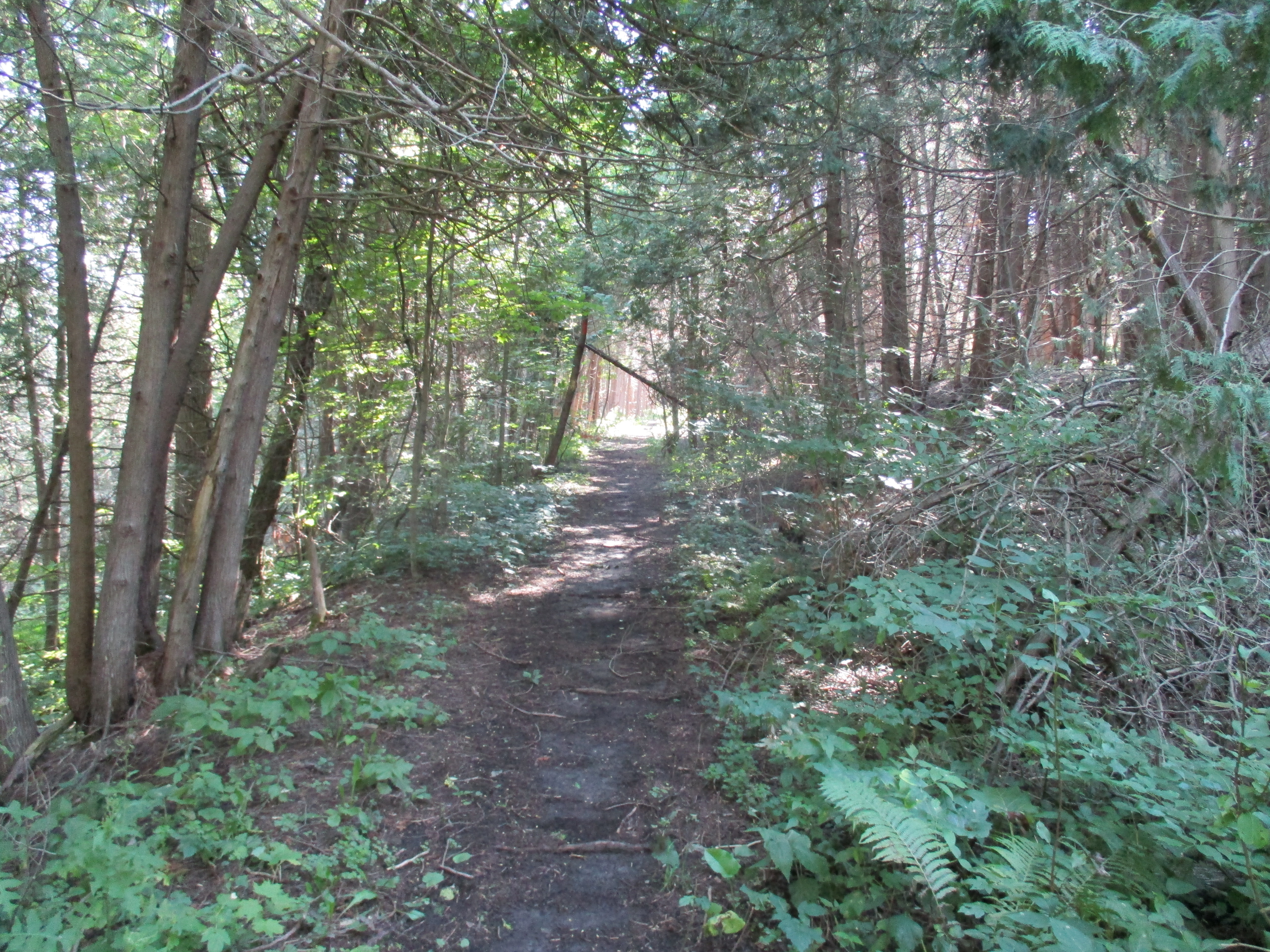
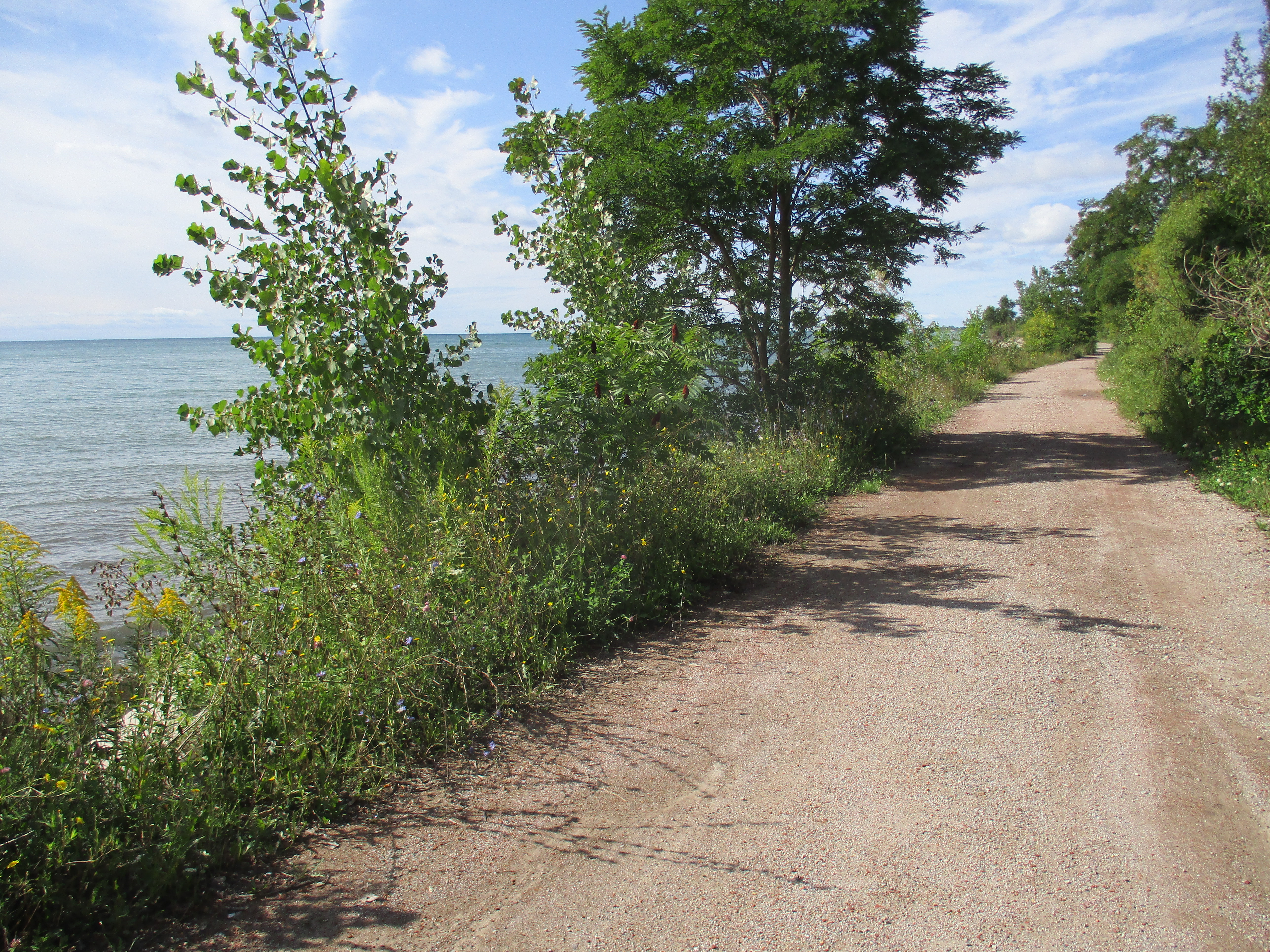
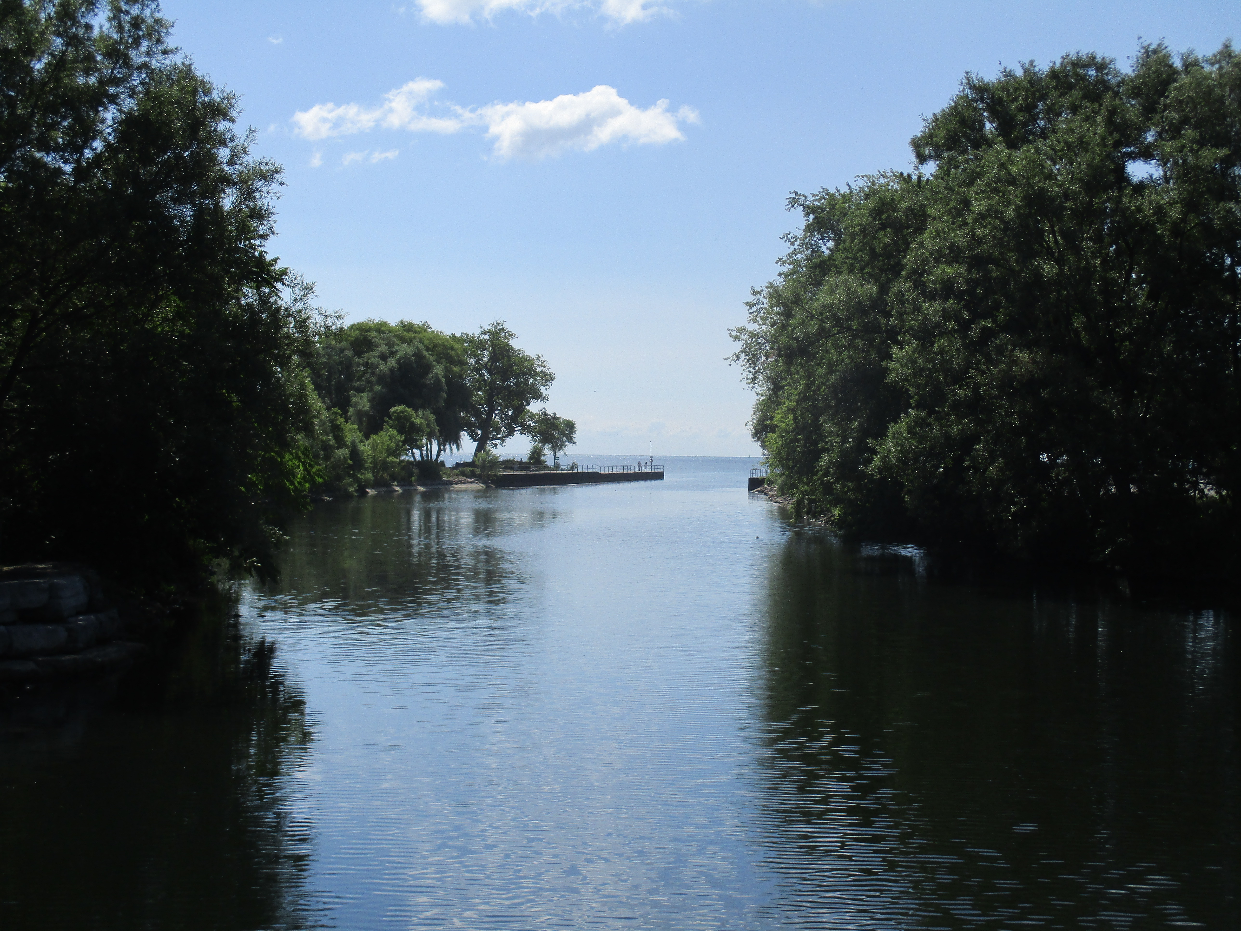
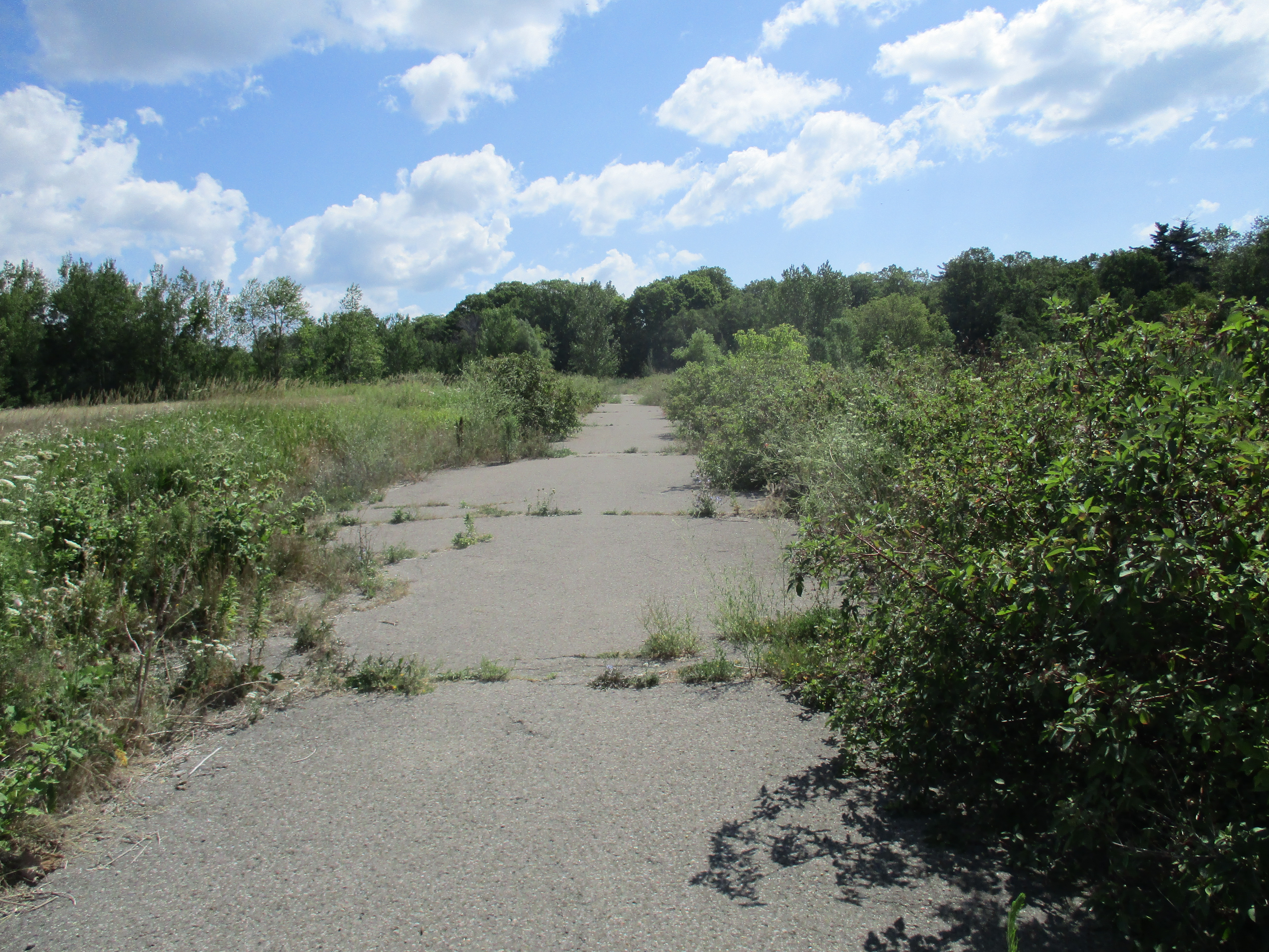
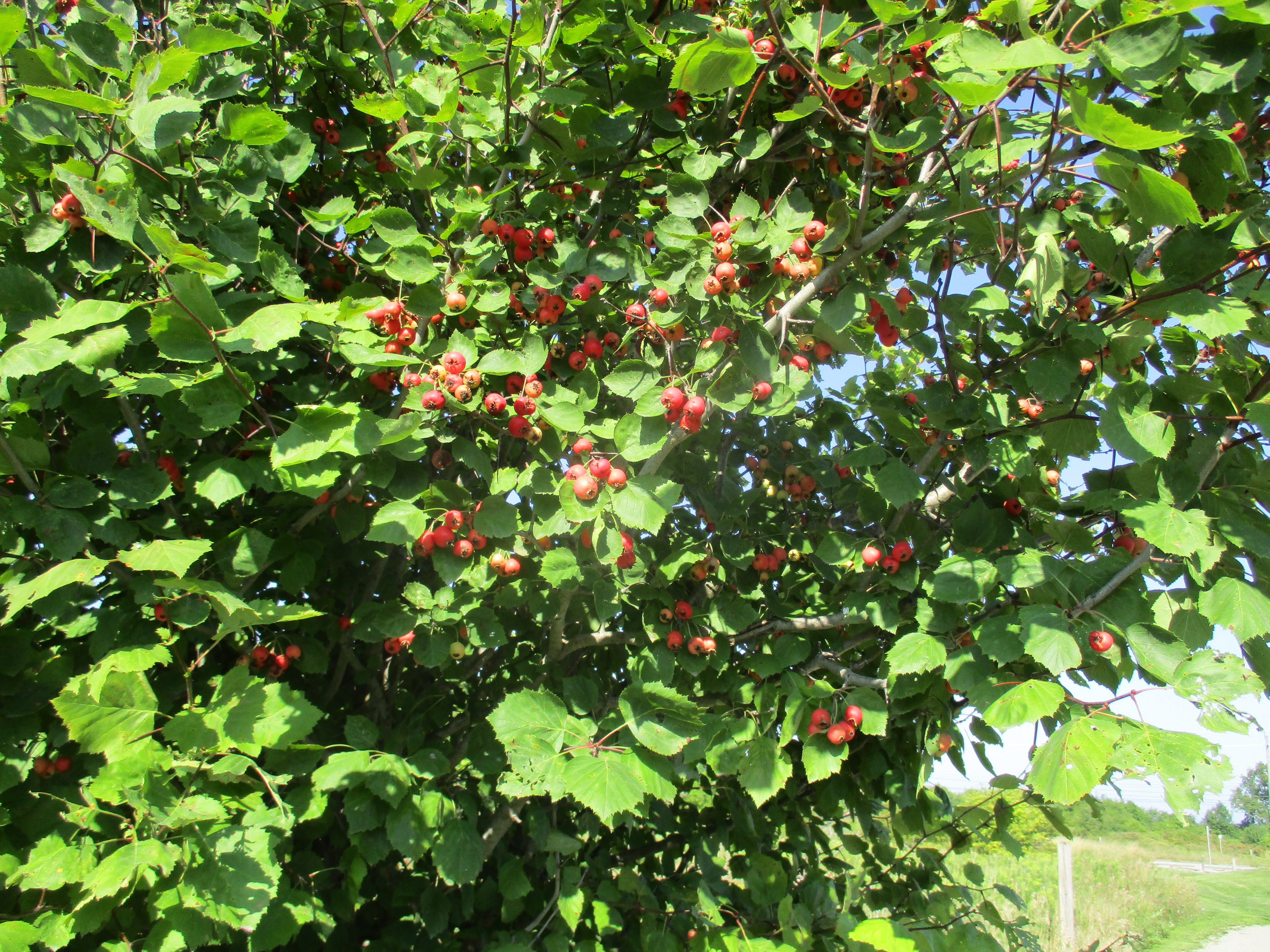
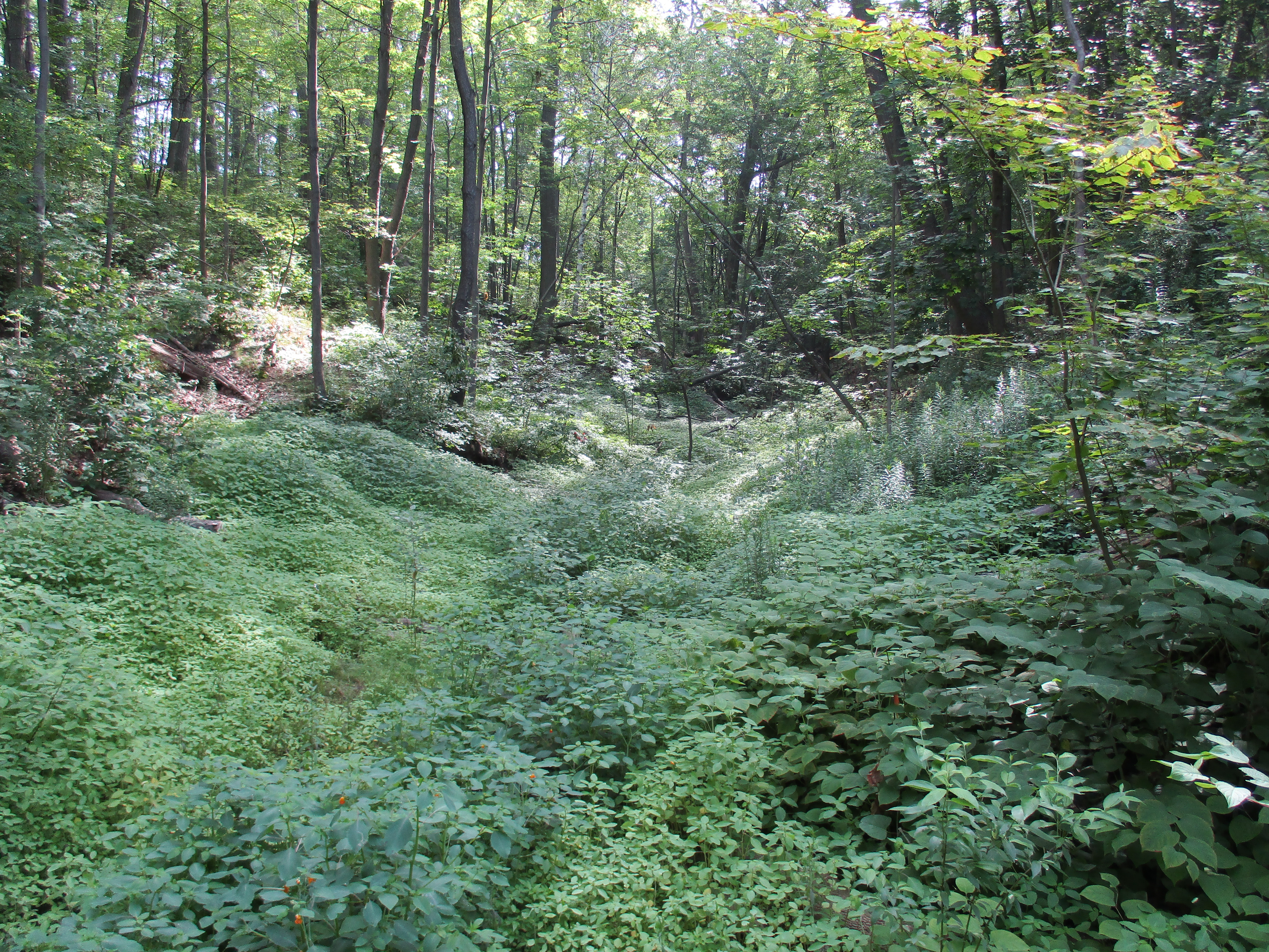
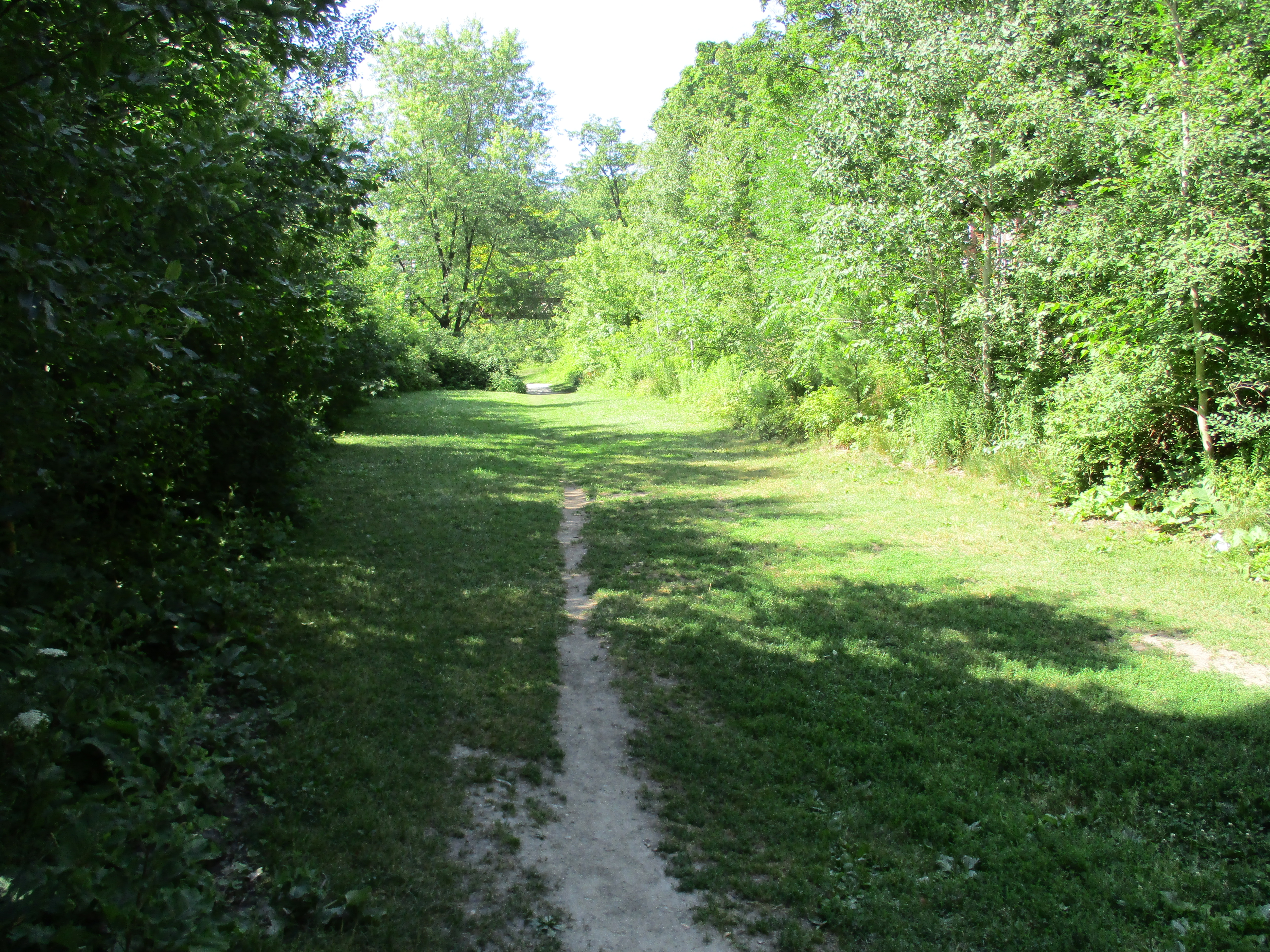
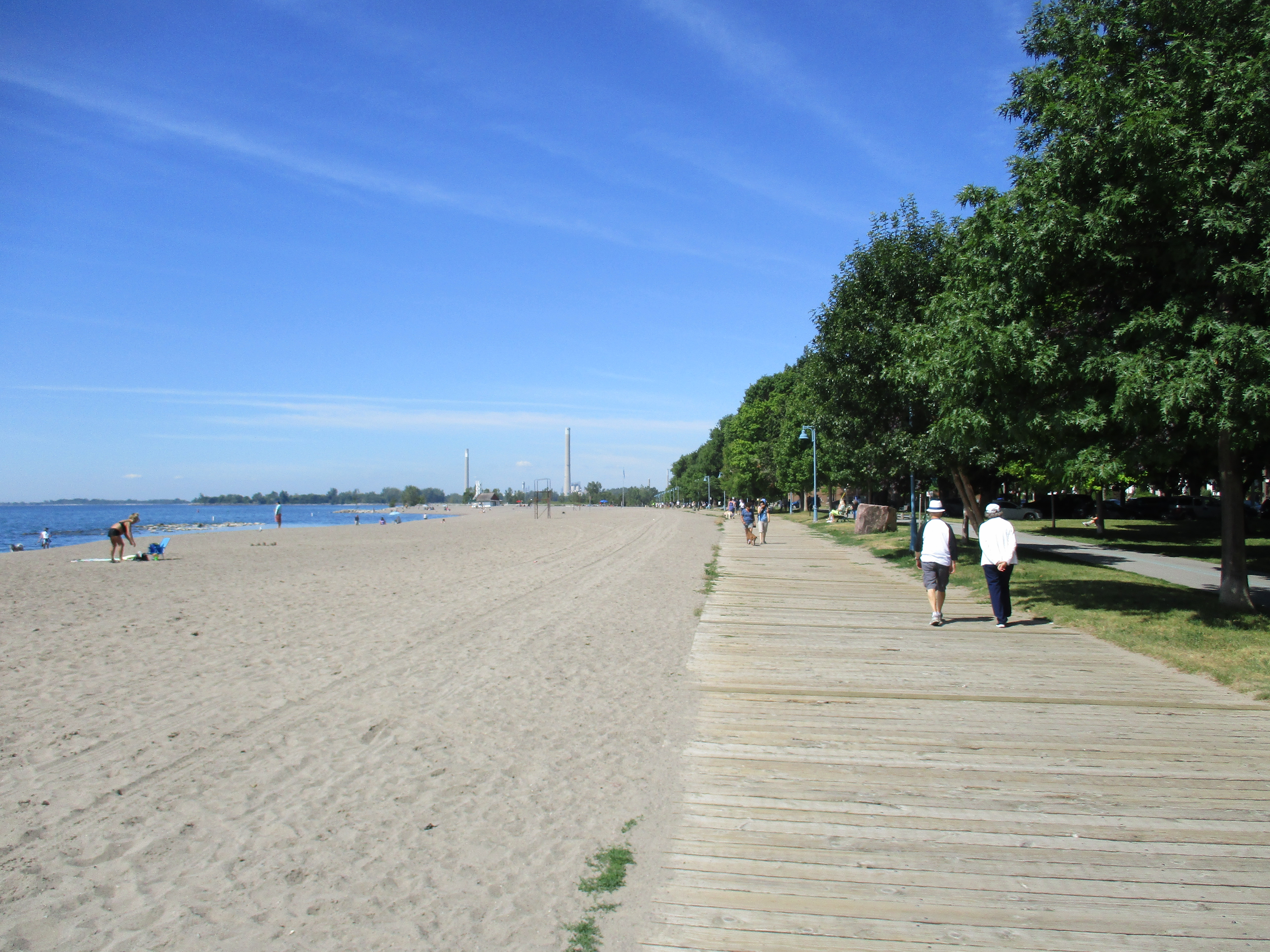
The park proved to be a real money maker for the railway when 60,000 people went through the gates in 1901 alone.  The vast majority of these also paid fare on the railway to get there.  It was a popular spot for couples to go for romantic dates and more than once an engagement would take place at the pavilion in the park.  Church and company groups as well as families flocked to the park for it’s clean water.  The railway advertised the health benefits of the lake, claiming that it was cleaner than Lake Ontario because it was 720 feet above the level of the larger lake.  No doubt at the start of the 20th century Lake Ontario around Toronto was pretty dirty with raw sewage.  Another odd claim in the railway literature is that the lake’s cool breezes meant that guests didn’t need to worry about mosquitoes.  The trail continues for about 2 kilometers until it reaches Yonge Street.  The fields throughout here have been replanted with rows of young trees.  Before too long this area will all be a new forest.  Signs of the fall are in the fields and trees where the bright greens of summer are giving way to yellows and reds of fall.  Rows of newly planted trees can be seen in the background of the picture below.

img_20160905_094413_hdr

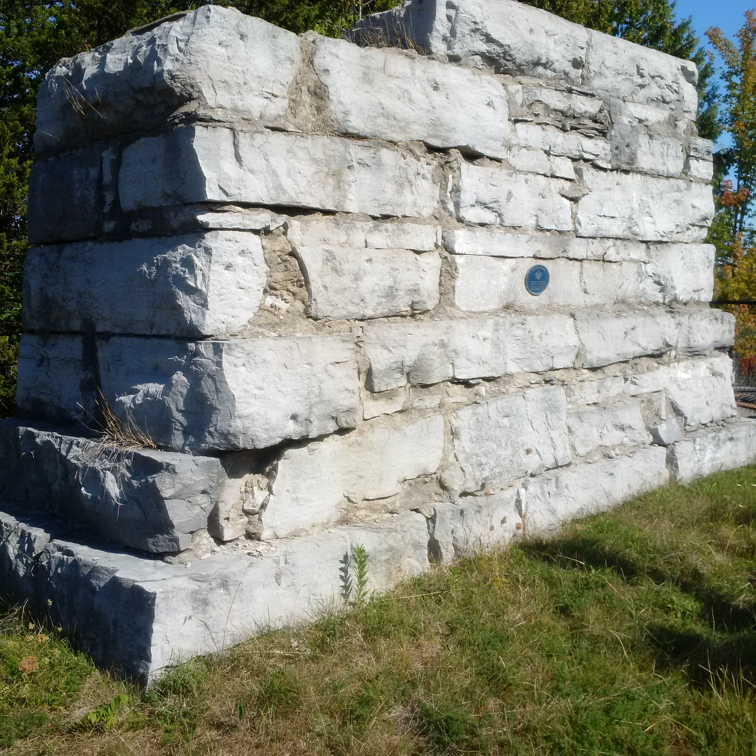
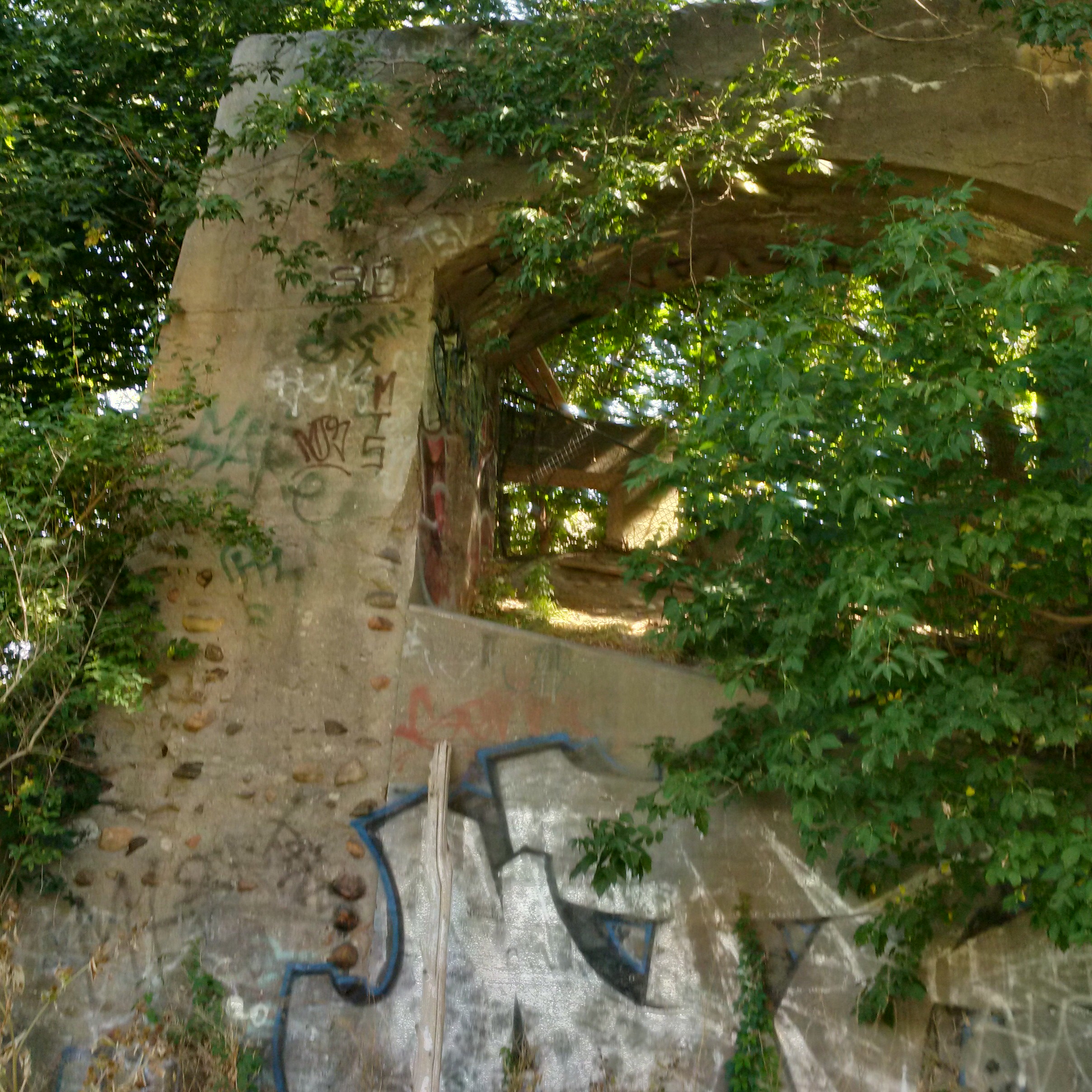
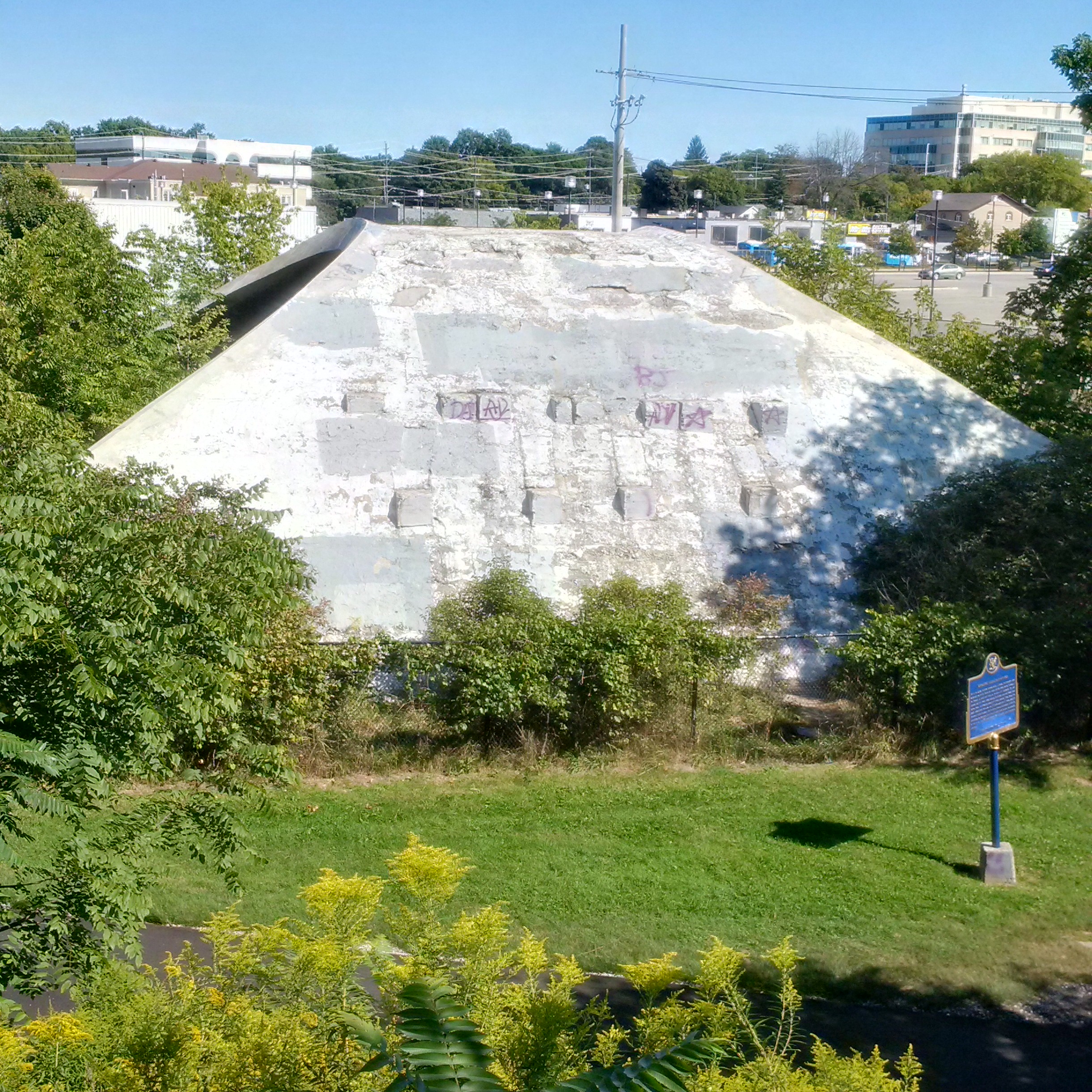
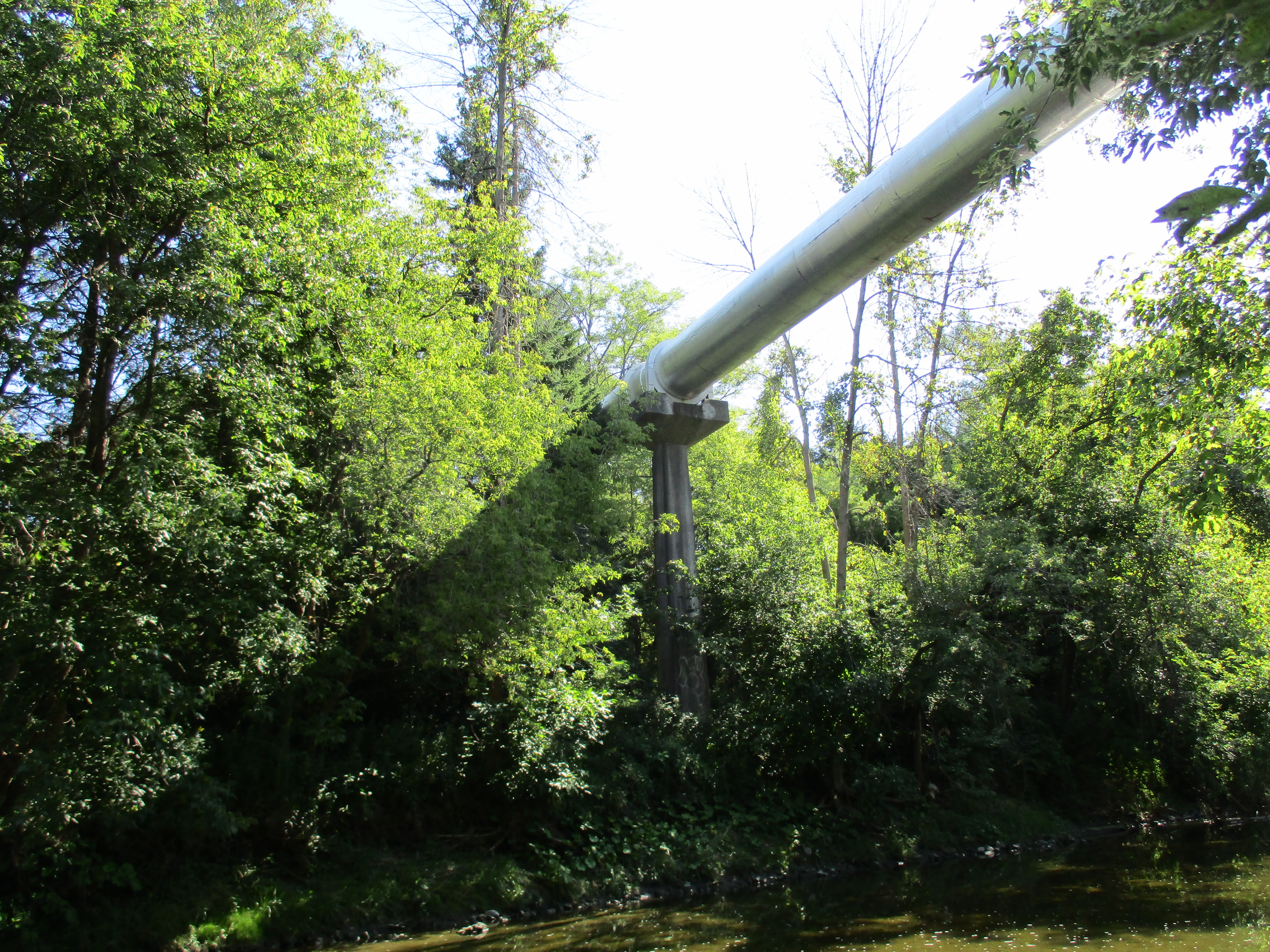
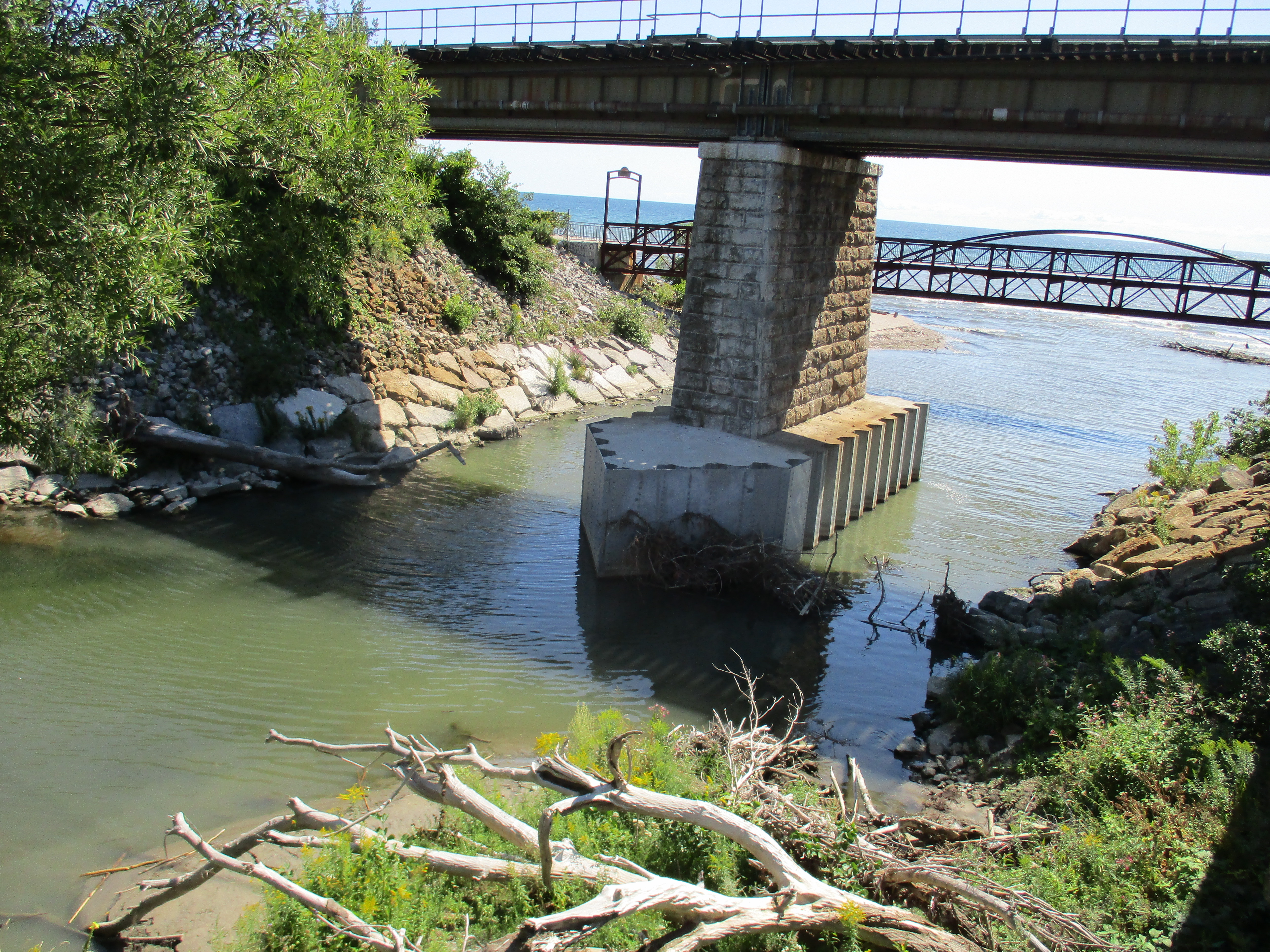
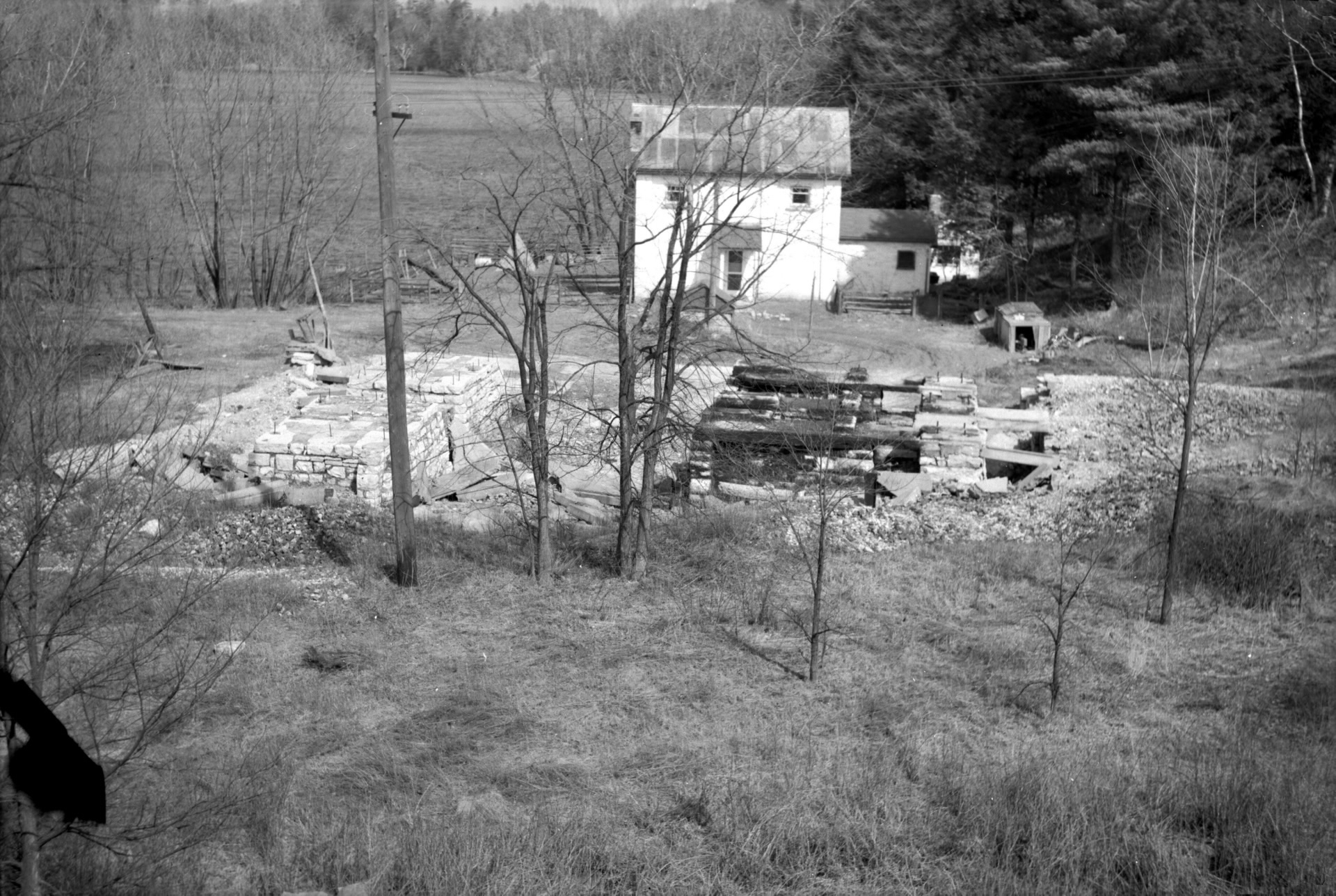
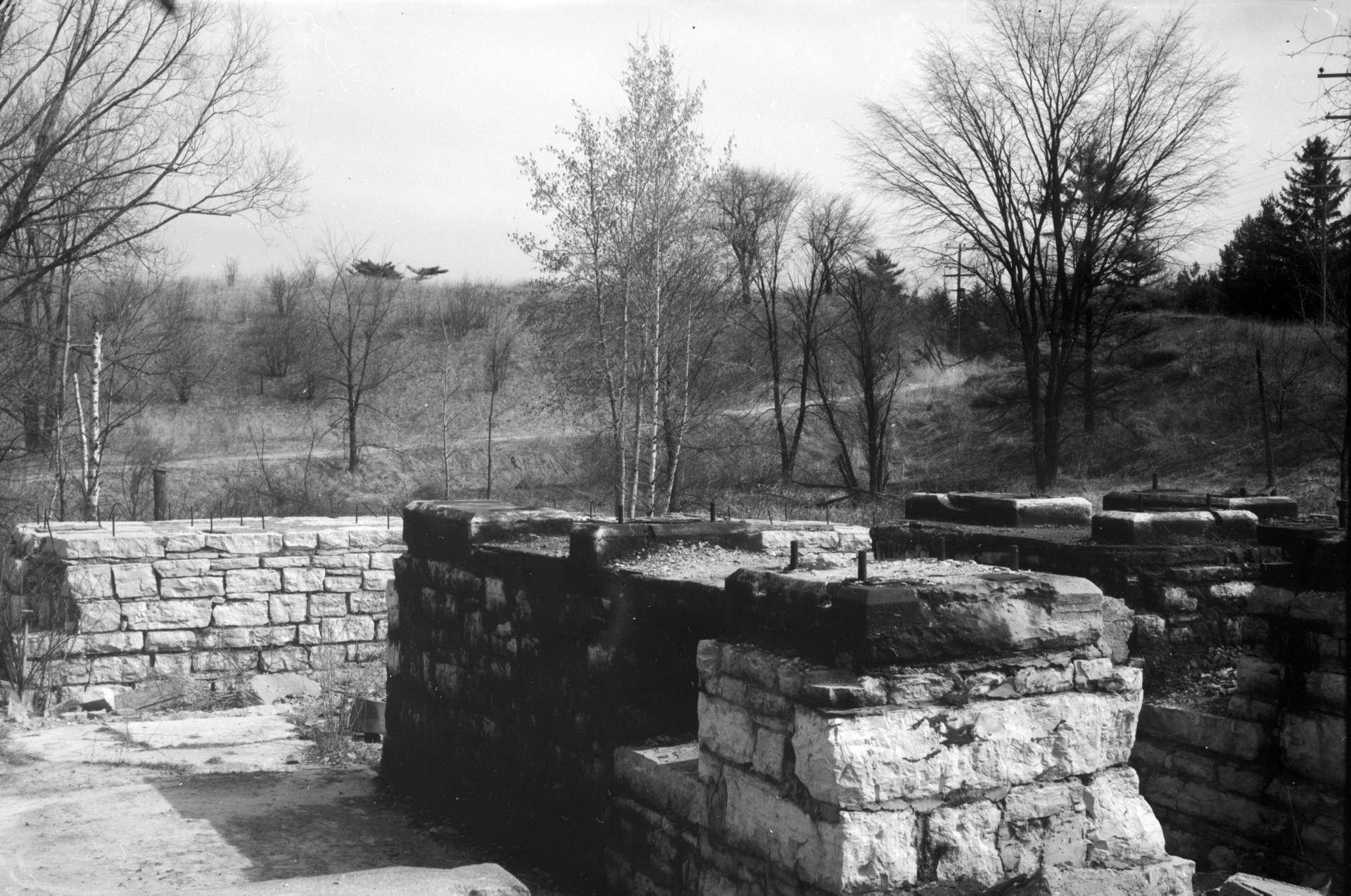
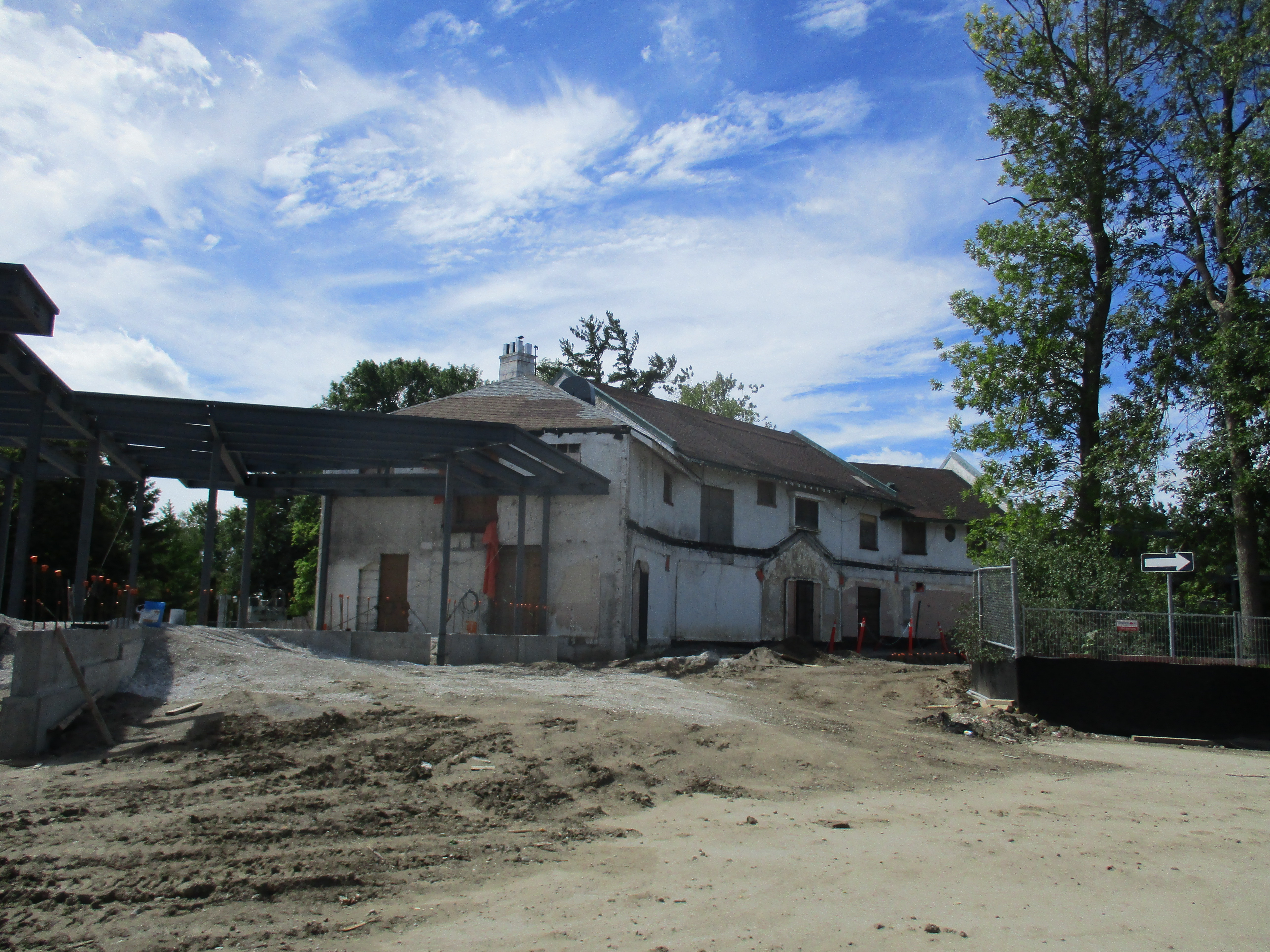
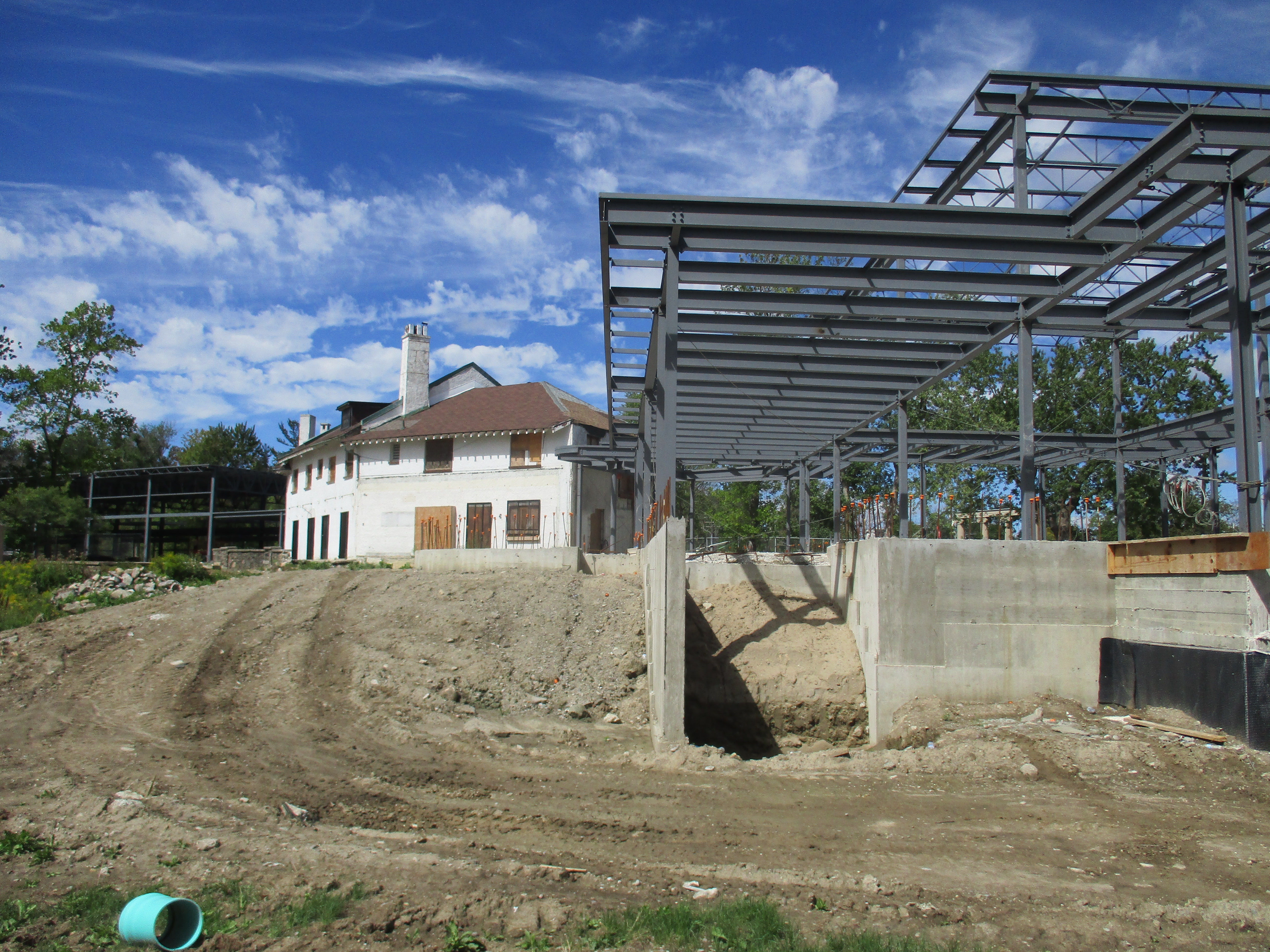
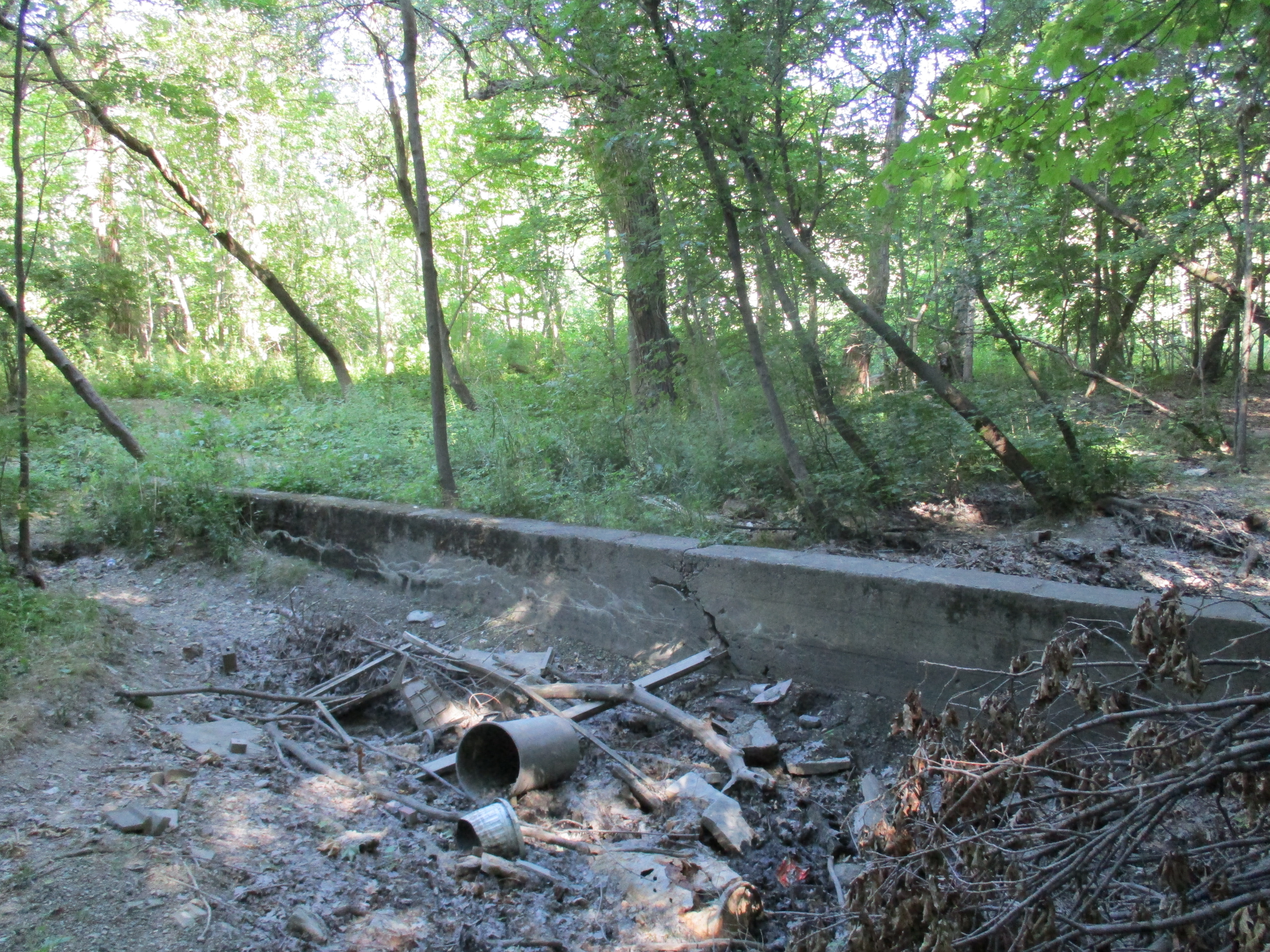
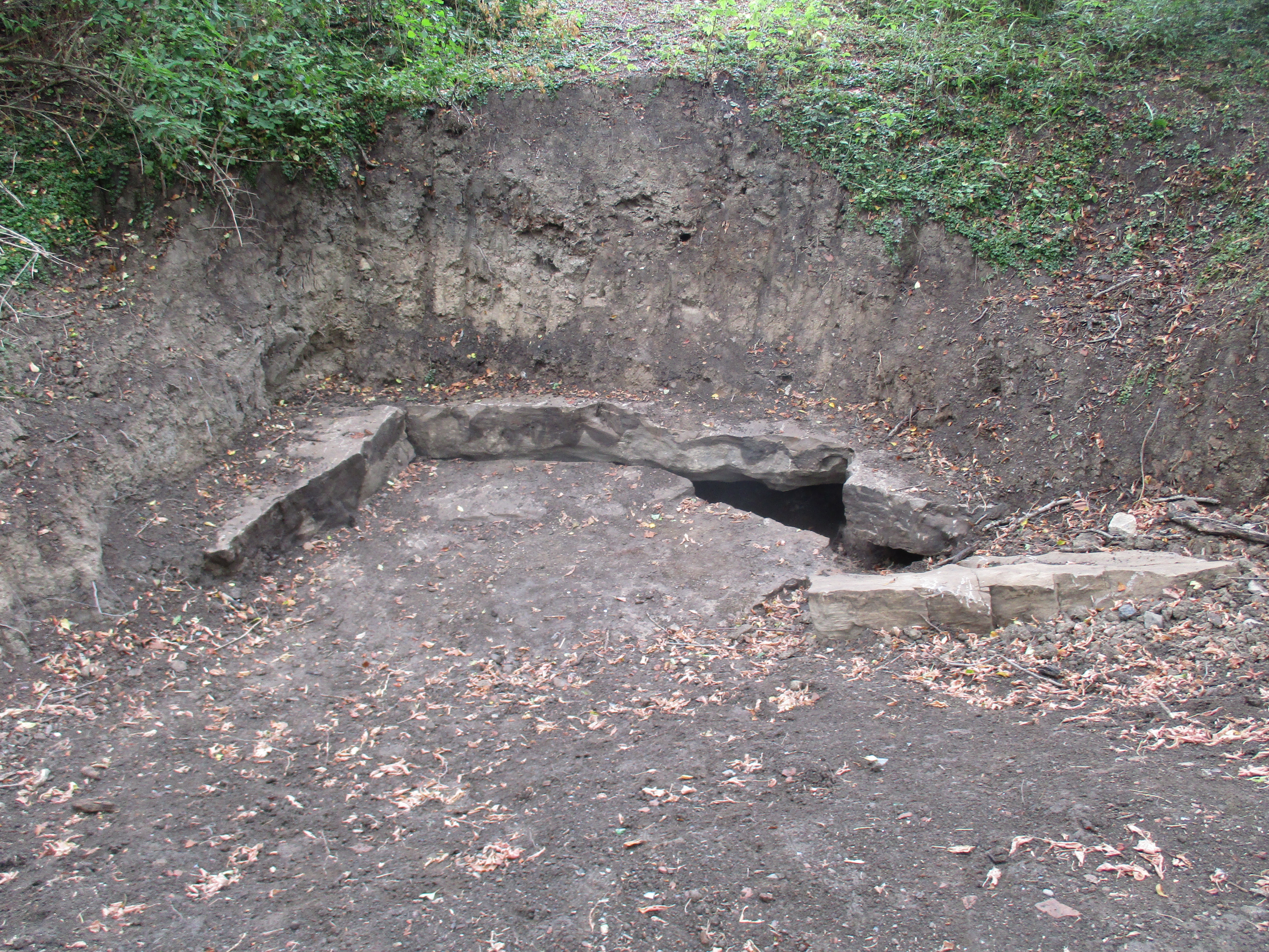
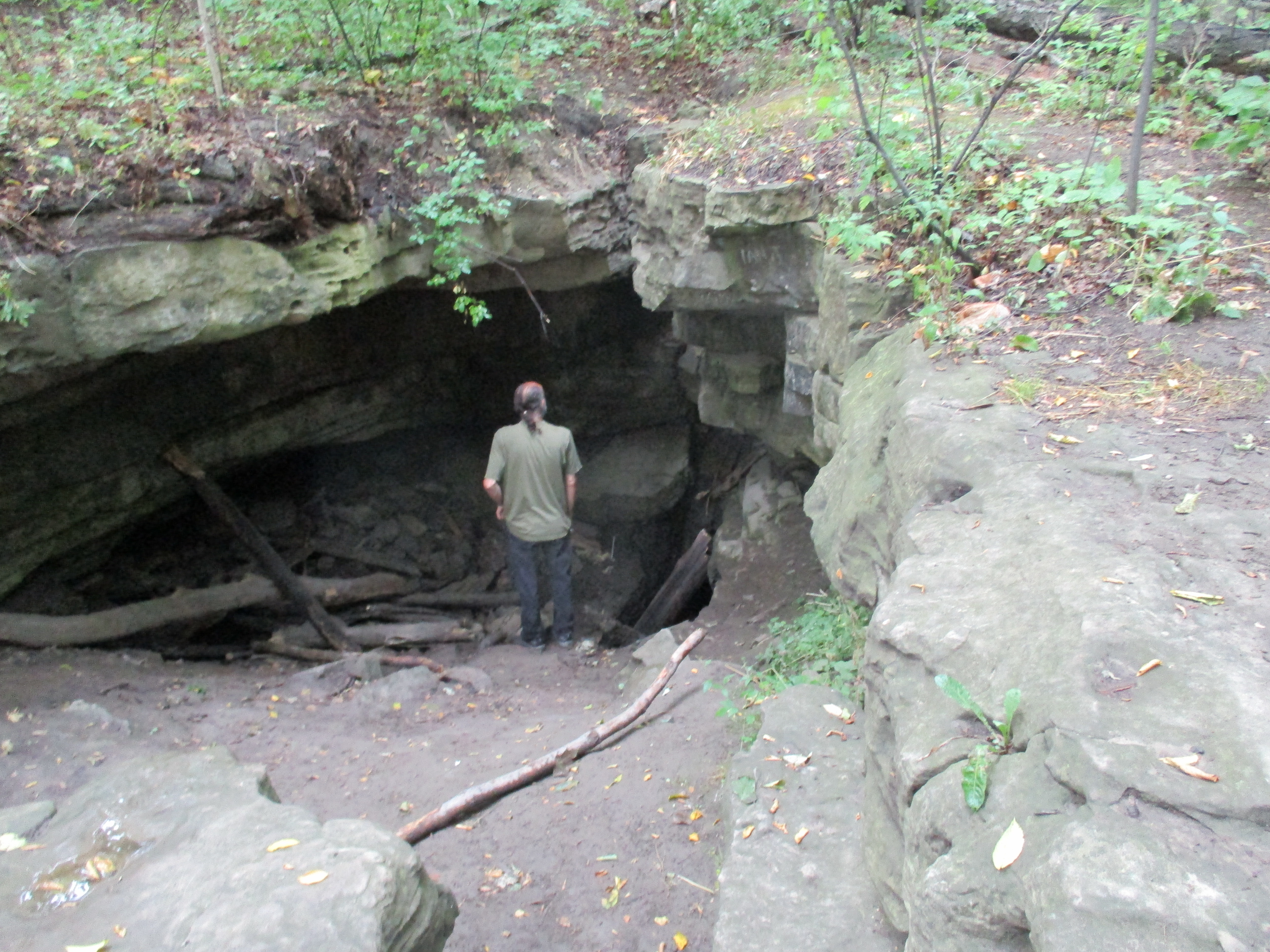
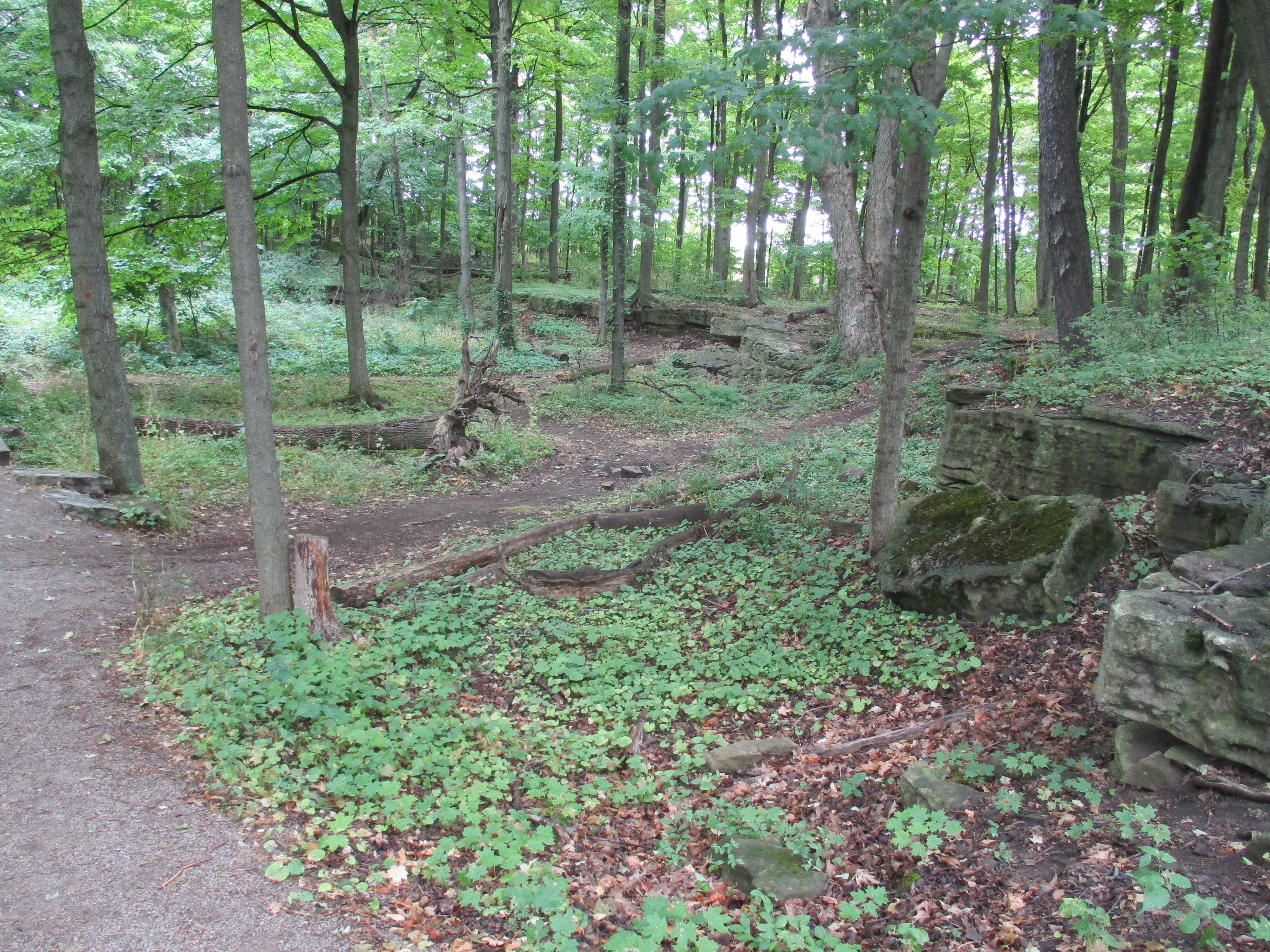
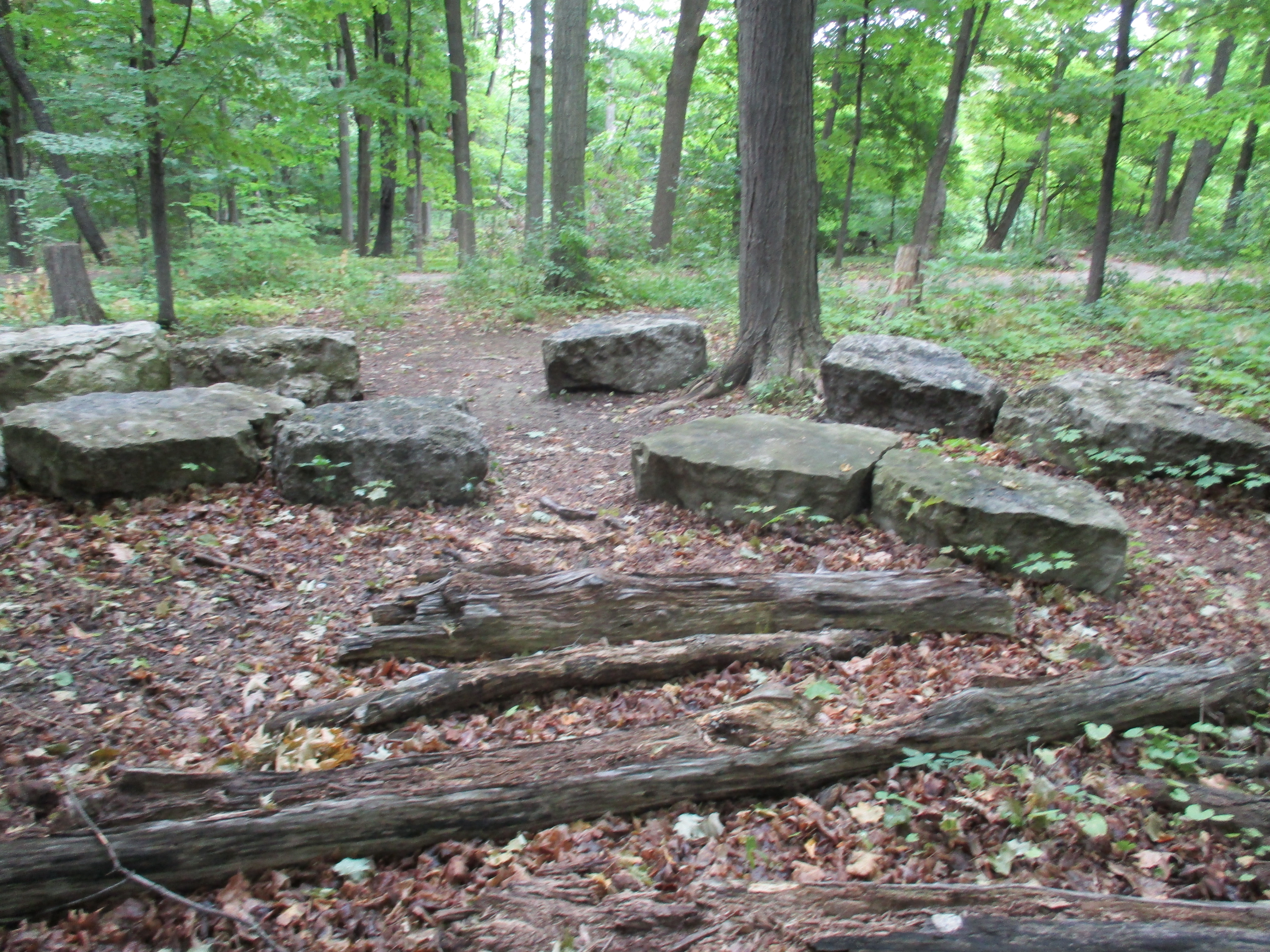
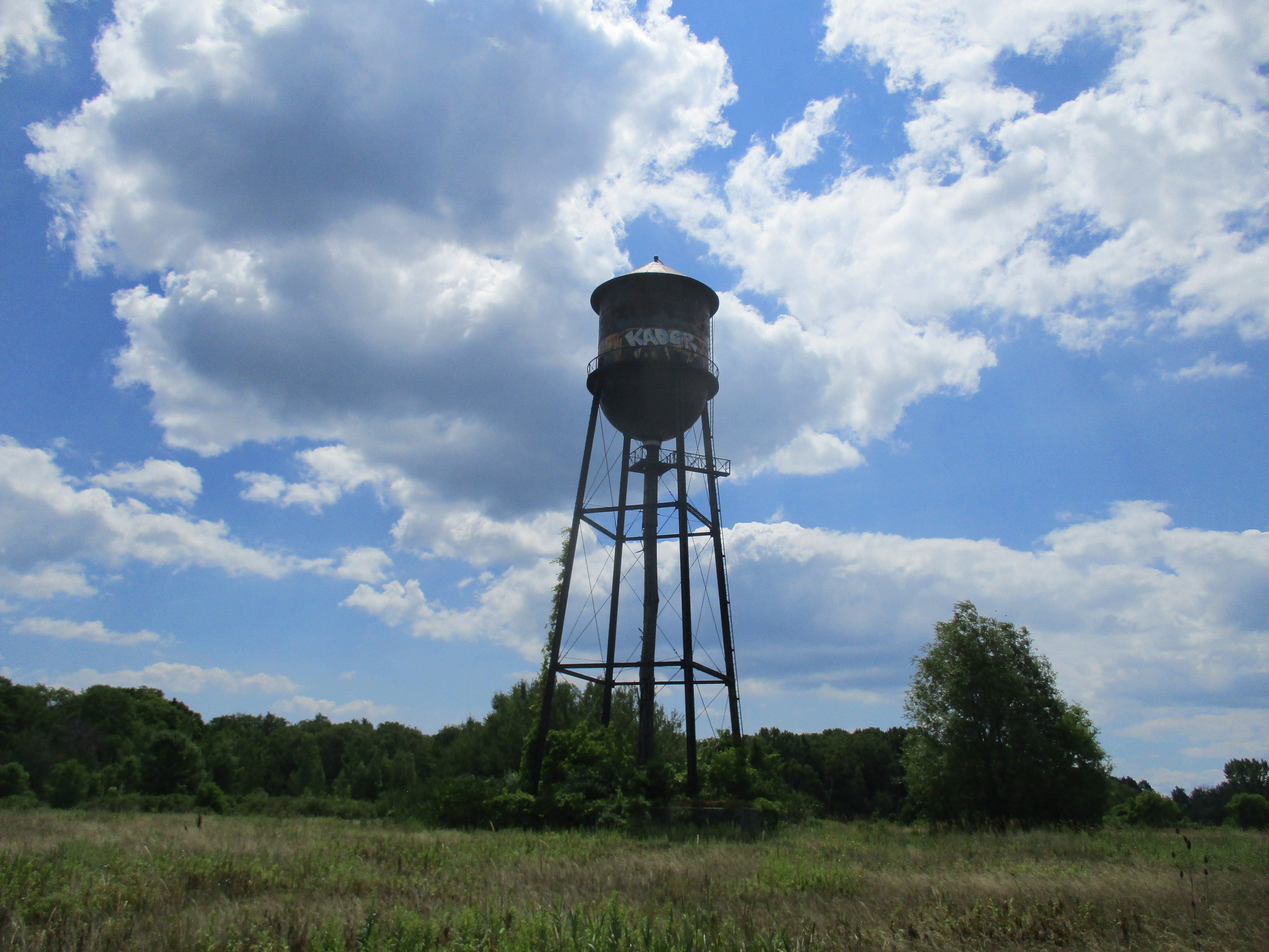
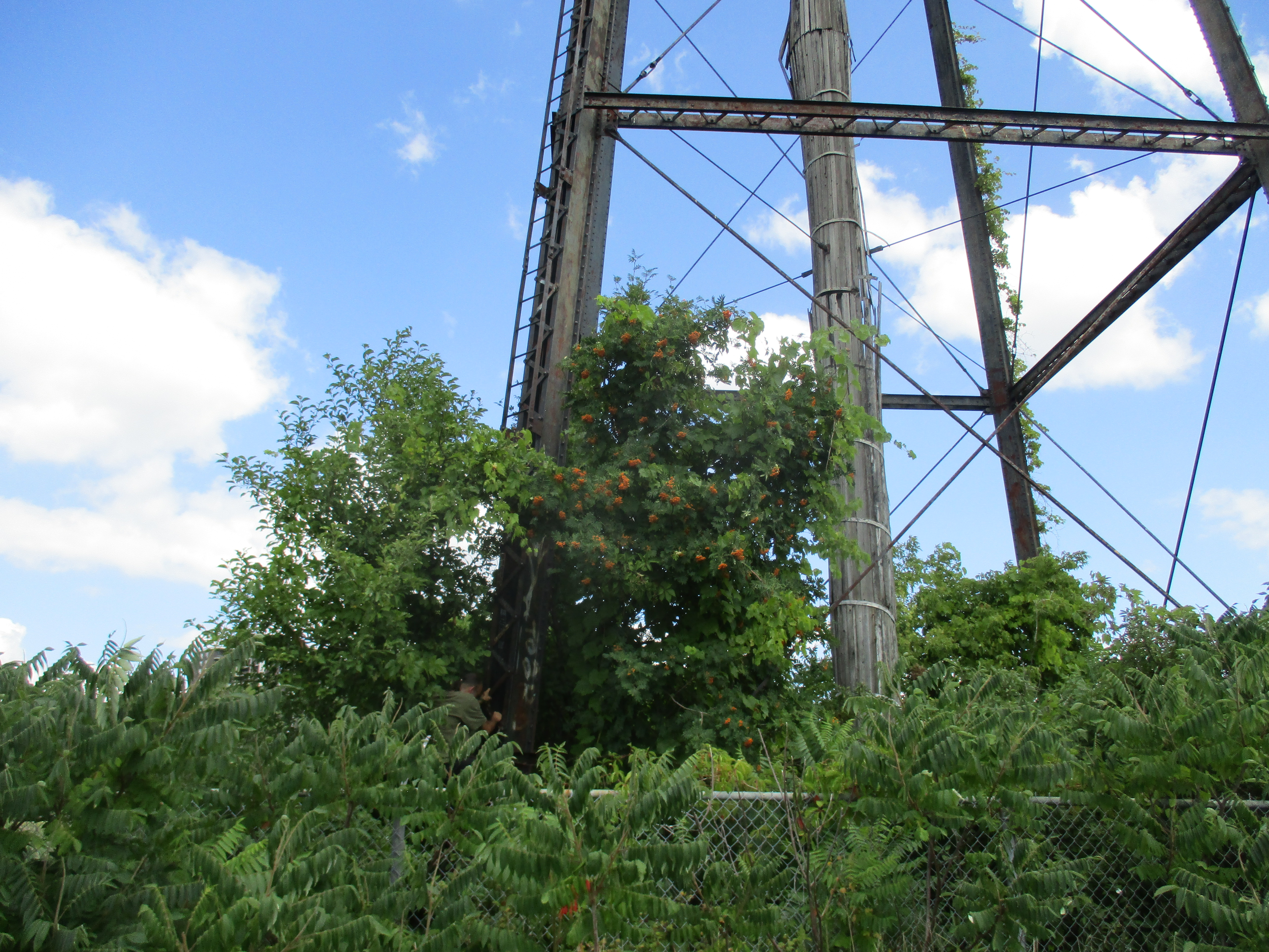
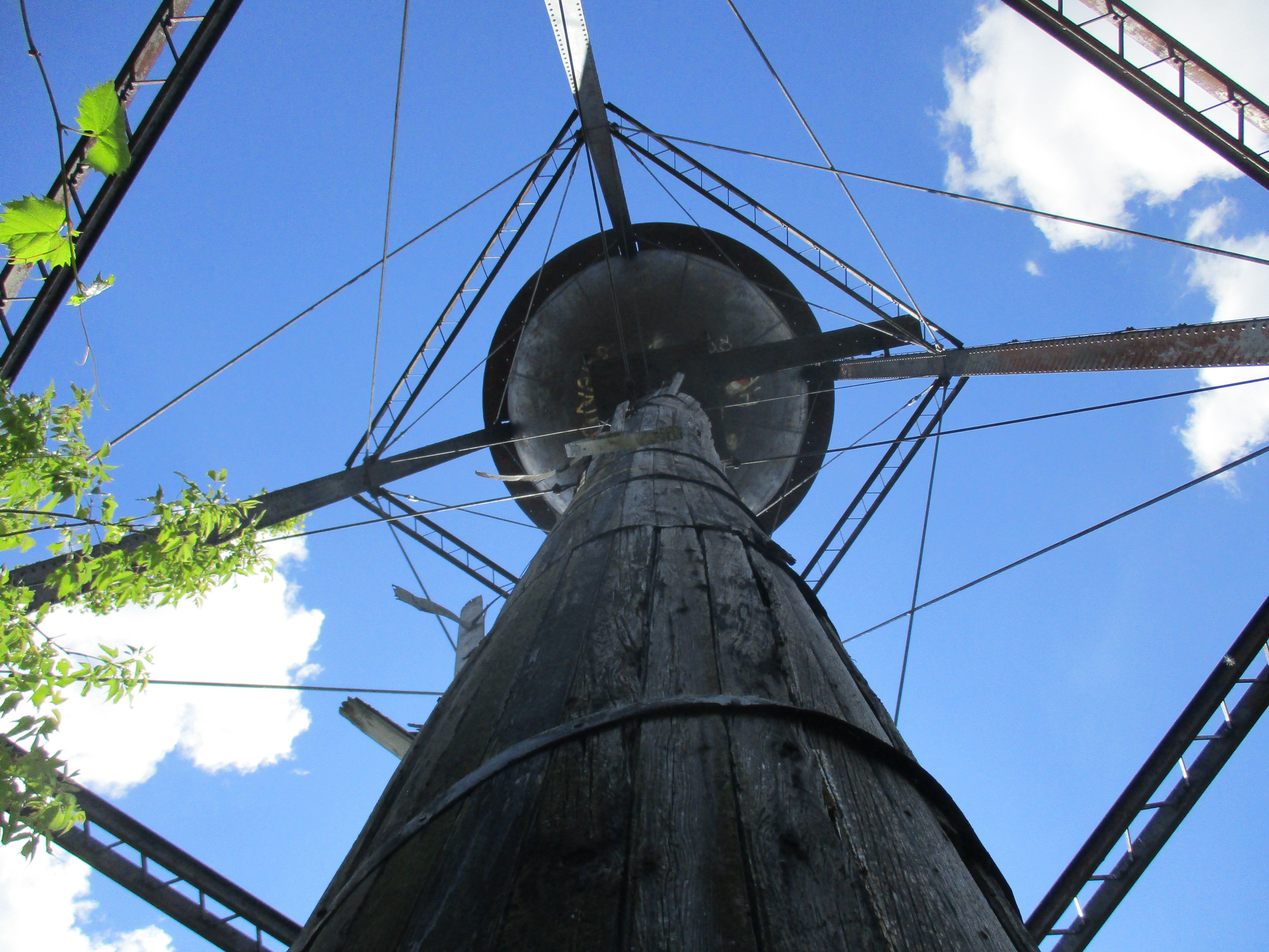
After the success of the  1901 season the company invested in a concert pavilion and baseball fields.  They kept a boat called The Gypsy to carry passengers around the lake, delivering them to various wharves.  Row boats could be rented for those who wanted to casually explore the lake.    The remains of the electric power generating station are close to Yonge Street and both the substation and the foundations for the generating building have been presented in two previous posts.  The Toronto & York Radial Railway and the Electric Railway Generating Plant describe this site in greater detail and with many pictures.  The foundations for the power house remain but the building itself has been removed.  The archive photo below shows how the power house looked.  Today, just the cut stone blocks of the foundation remain and they are being taken over by the forest.

bond-power

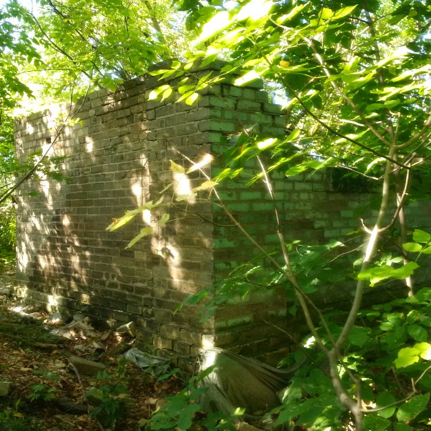
A car repair barn was constructed near the generating facility but not much remains other than the corner of two walls.

img_20160905_094917

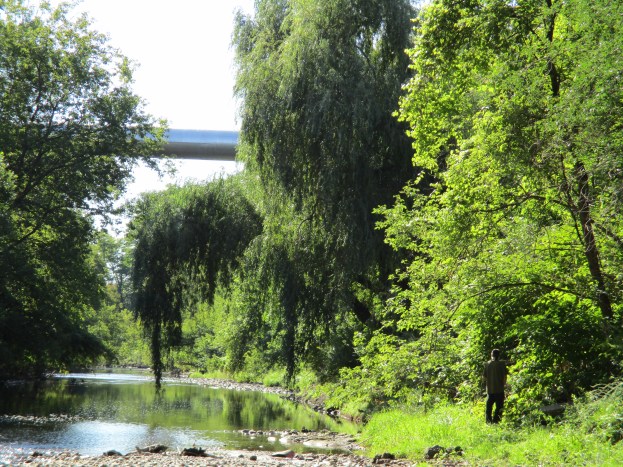
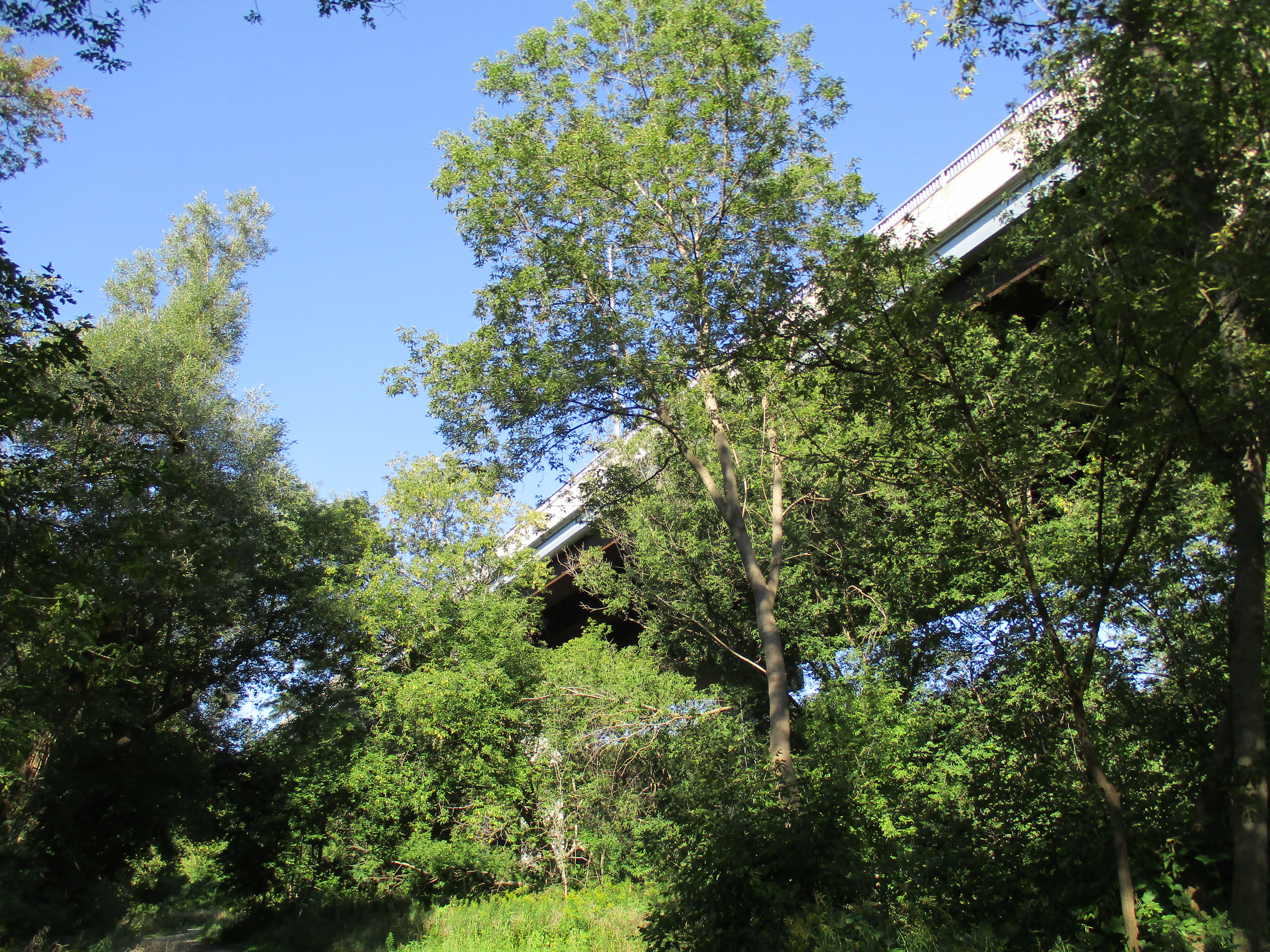
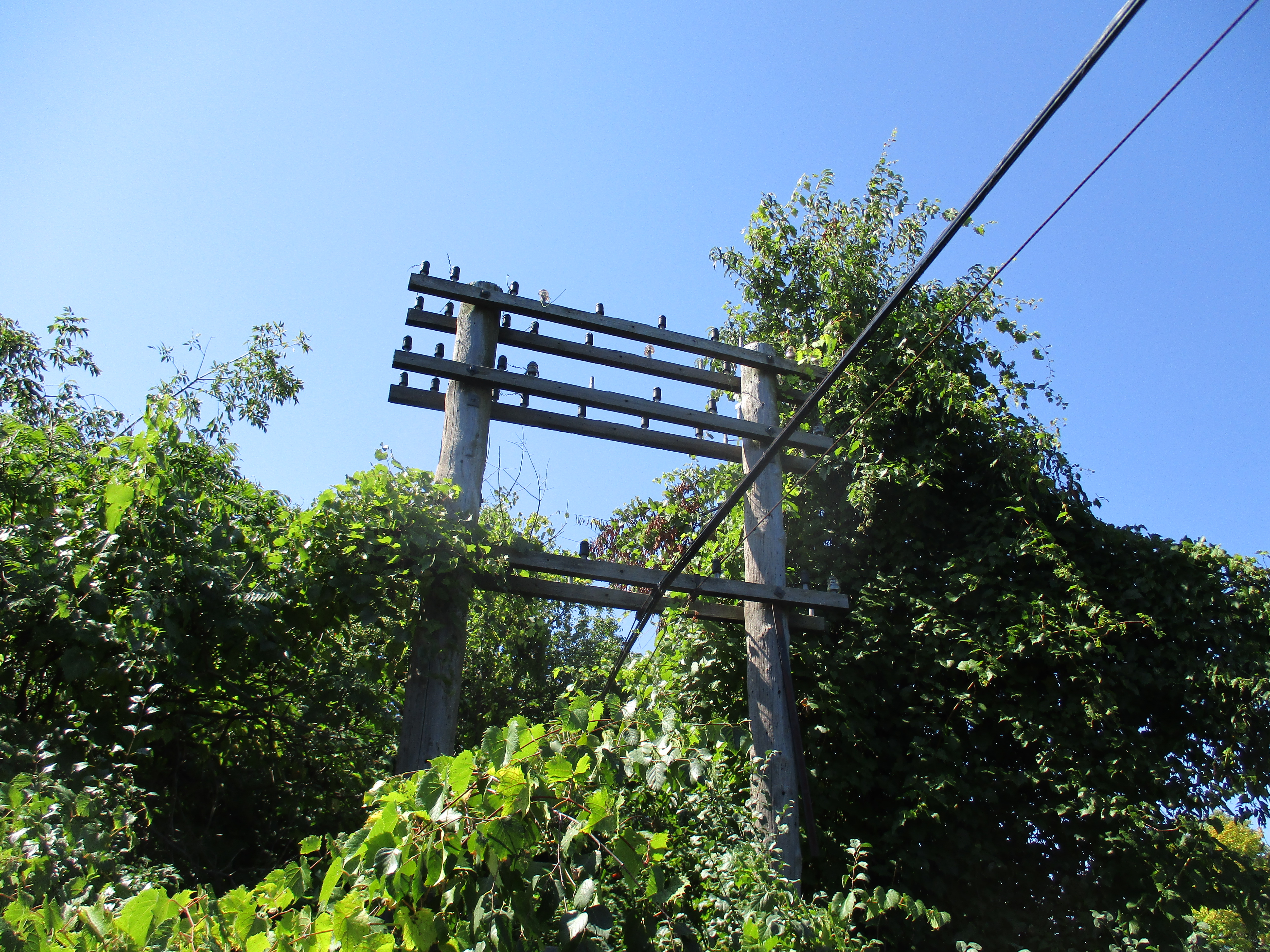
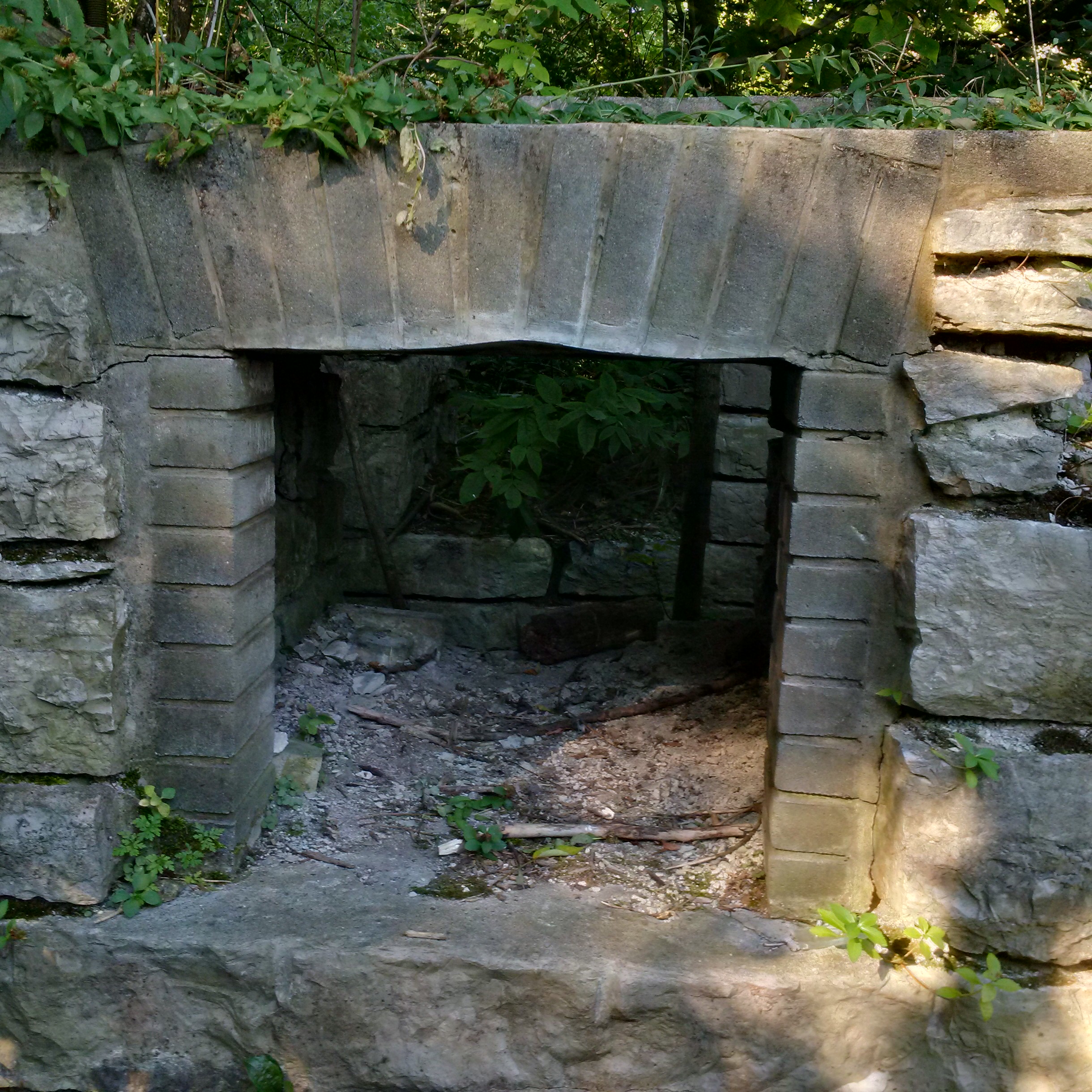
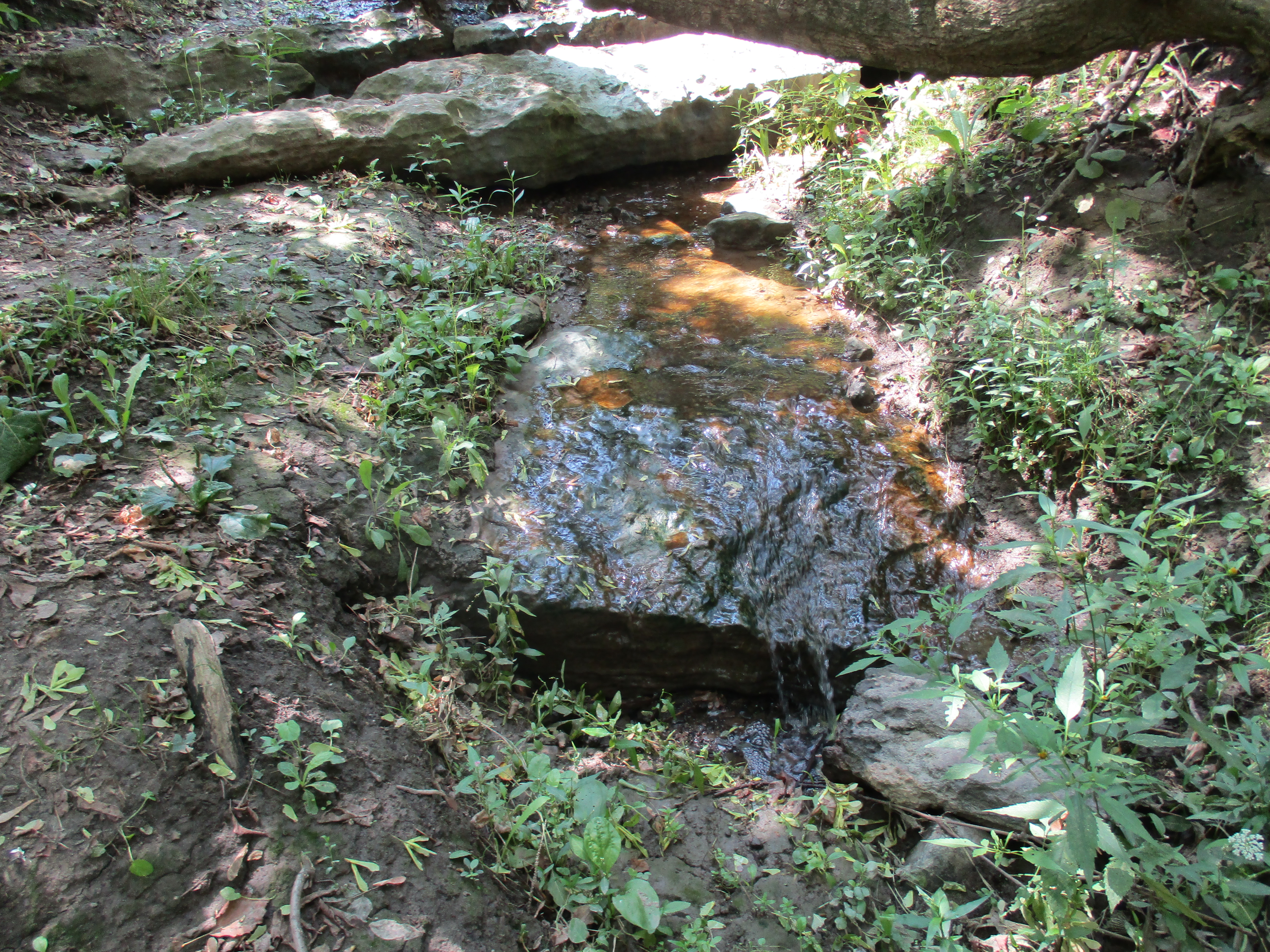
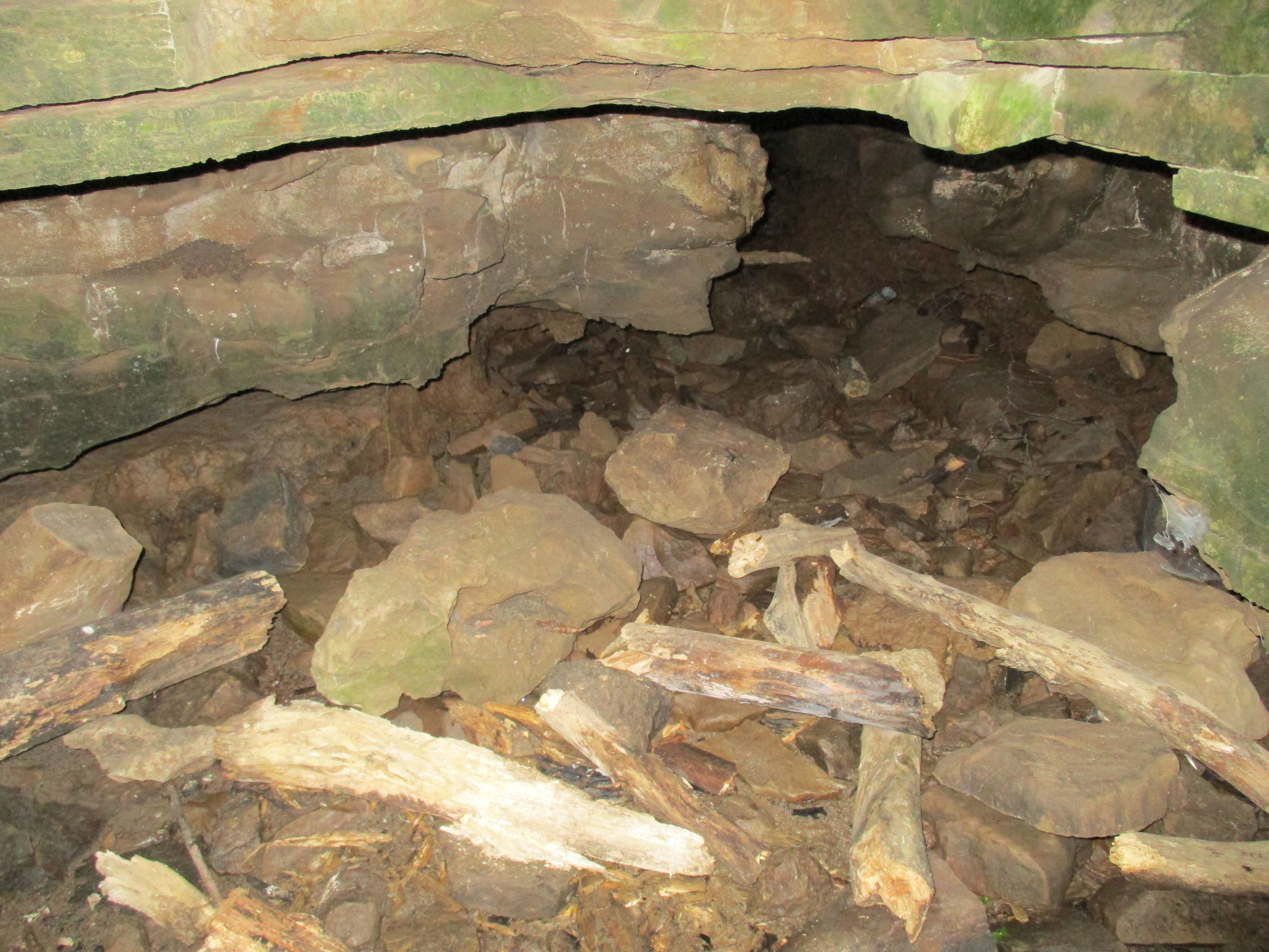
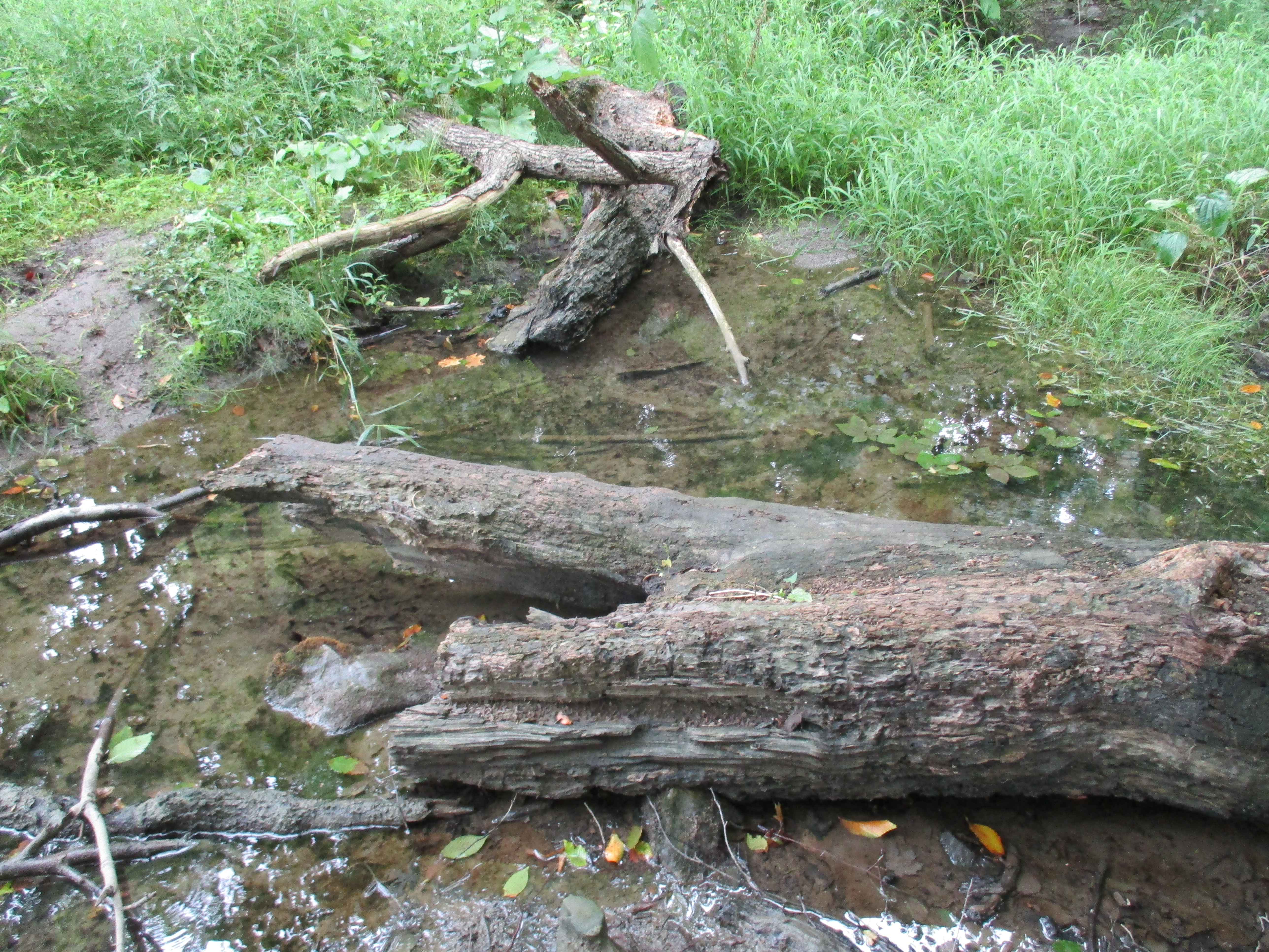
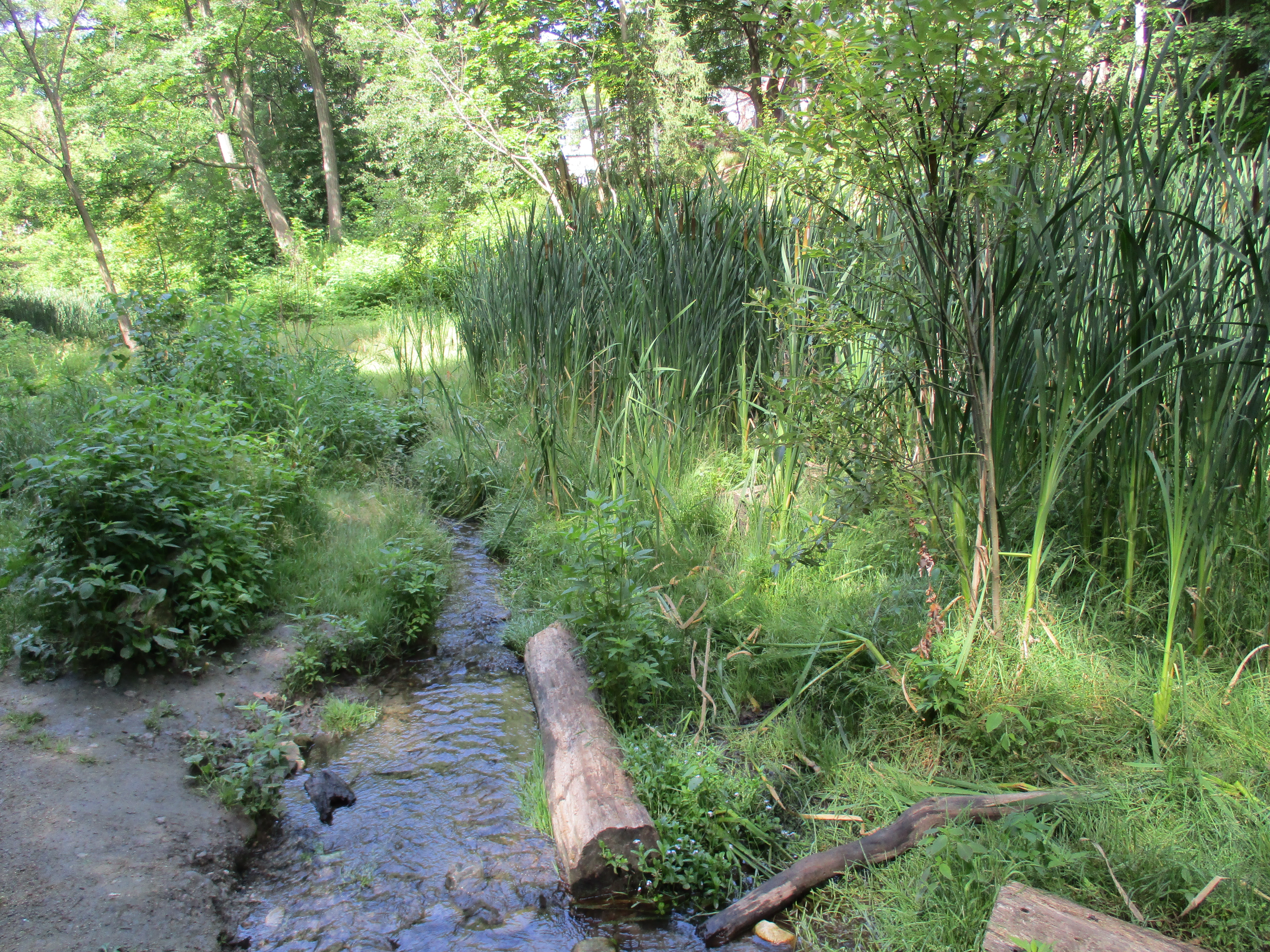
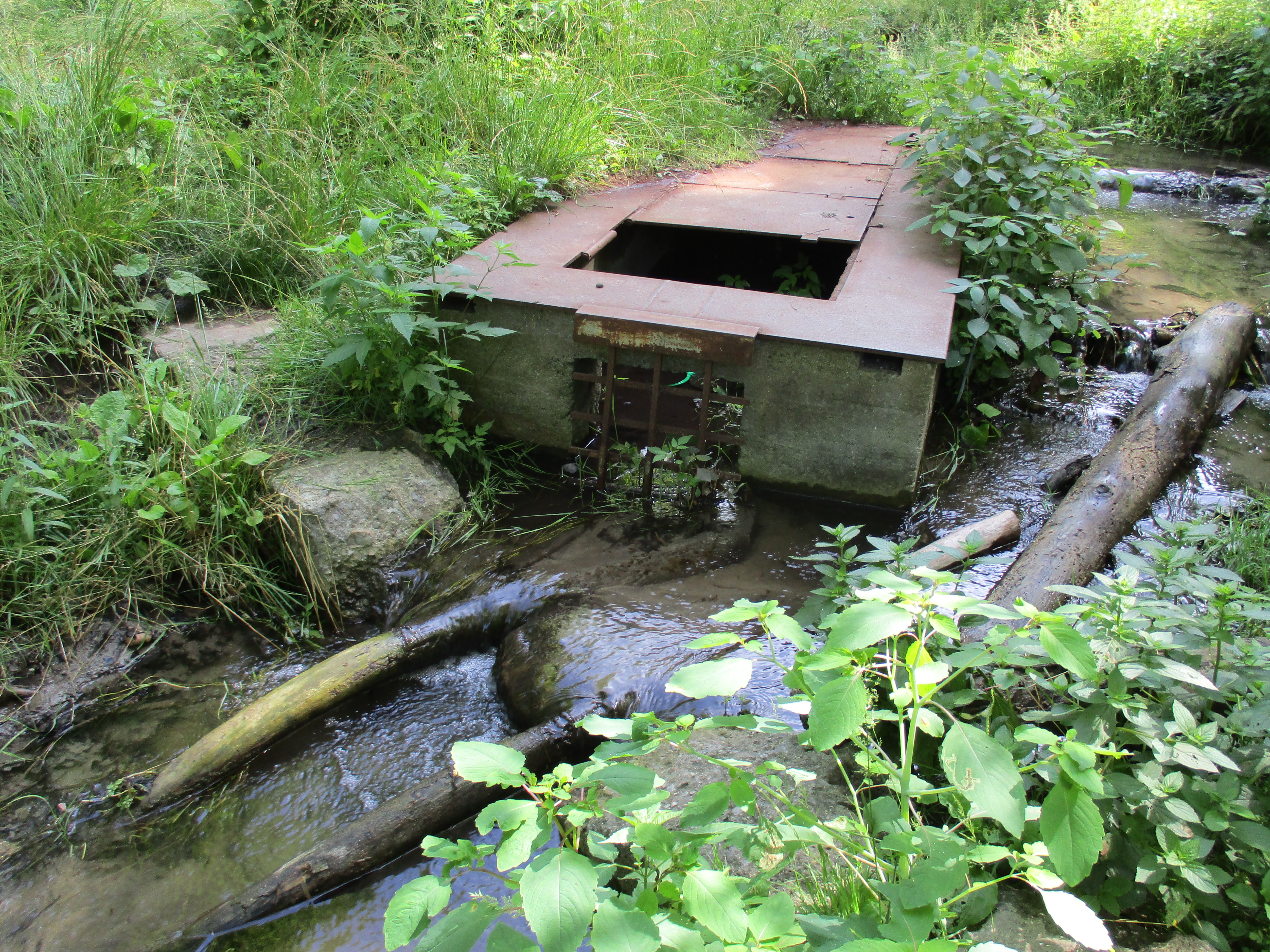
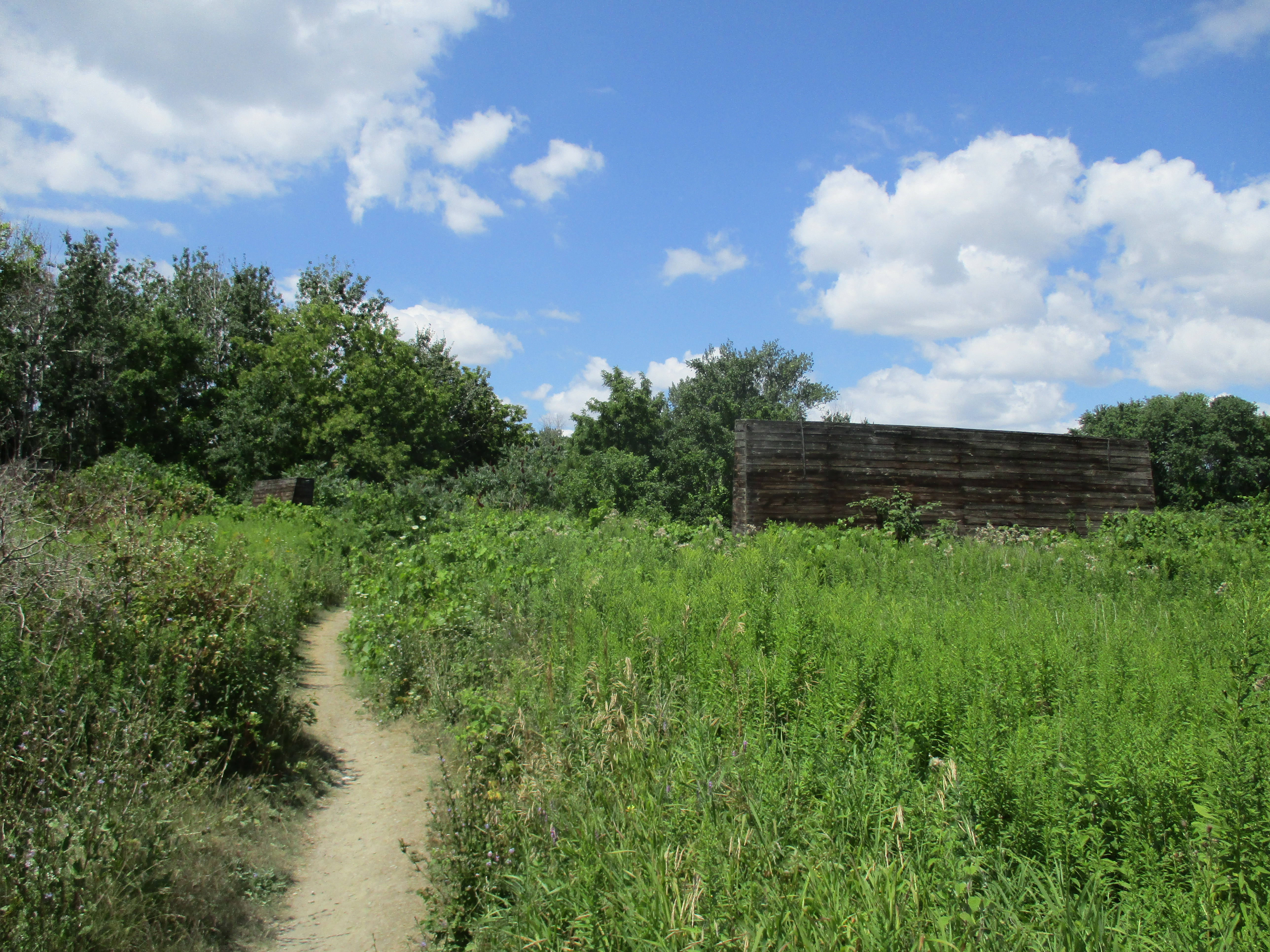
Sticking to the side of the lake the trail becomes little more than a footpath after leaving the formal trail.  Along this little pathway, not far from the substation, is an old pump house.

img_20160905_102139

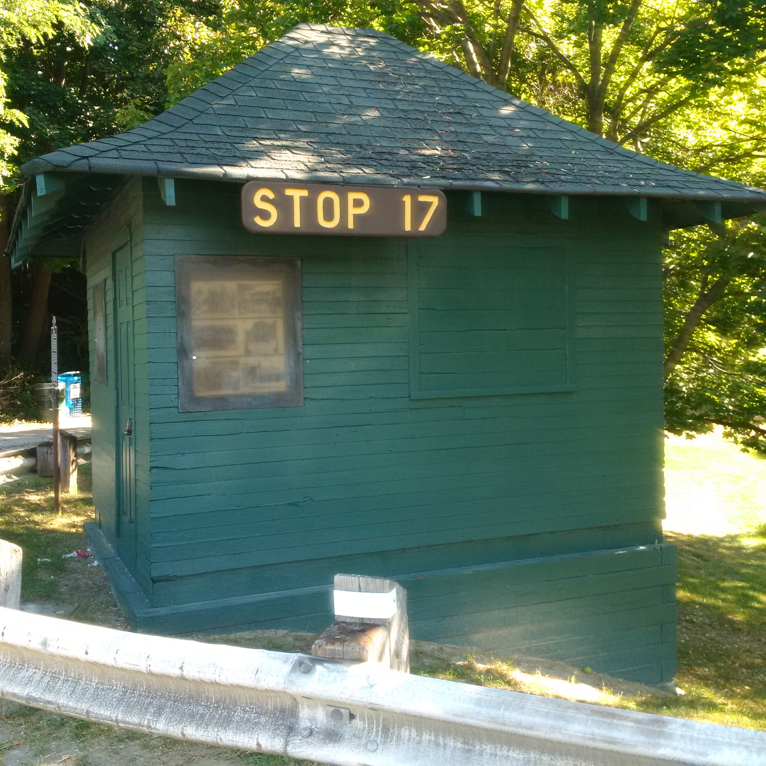
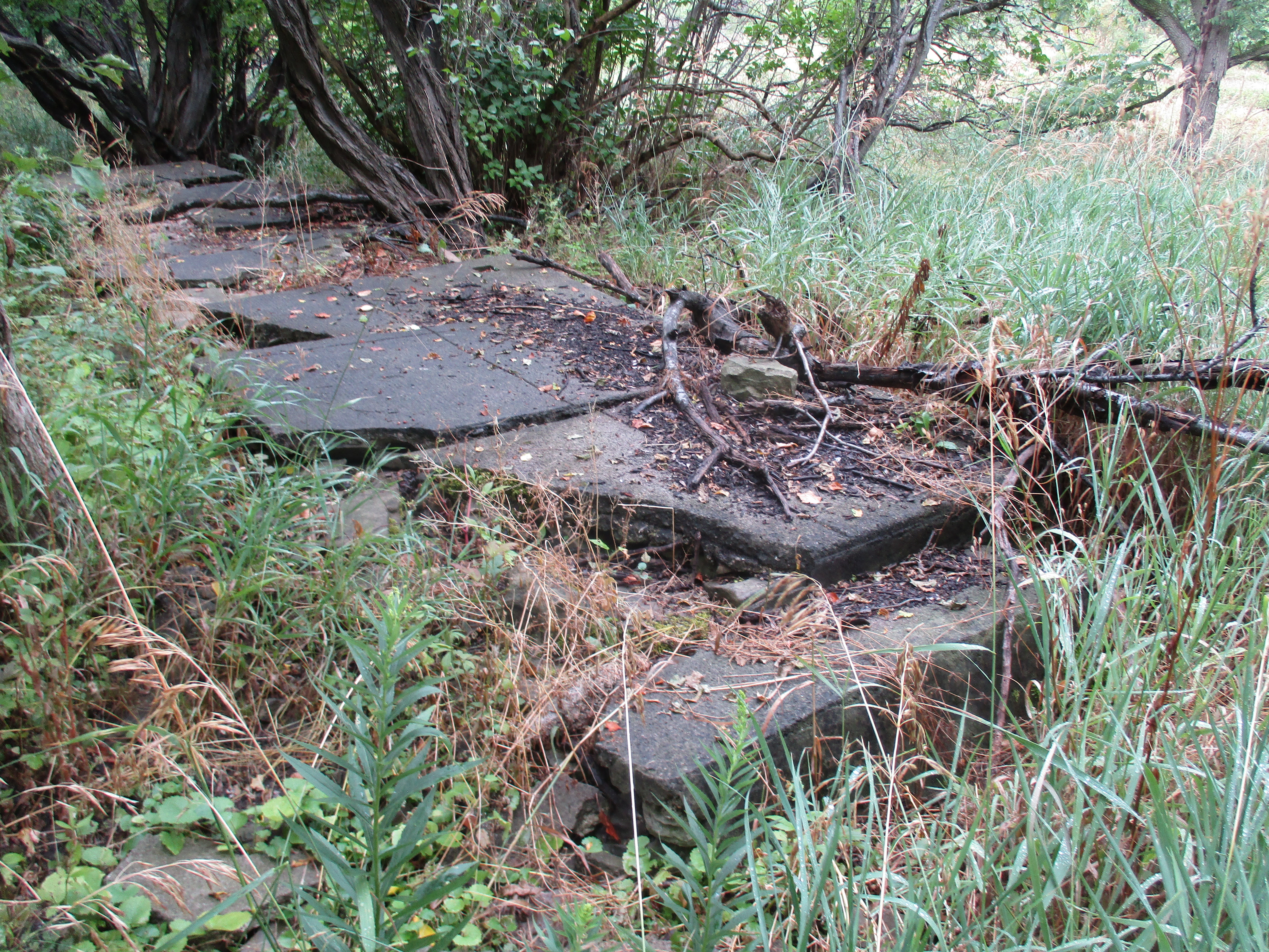
The park was the first “electric park” in Ontario meaning that it was the first one to have electric lighting and later a merry-go-round.  The foundations for the gatehouse and station can still be seen along the trail.

img_20160905_103333

Hopefully you won’t be needing the washrooms as they look like they need a serious cleaning.

img_20160905_103519

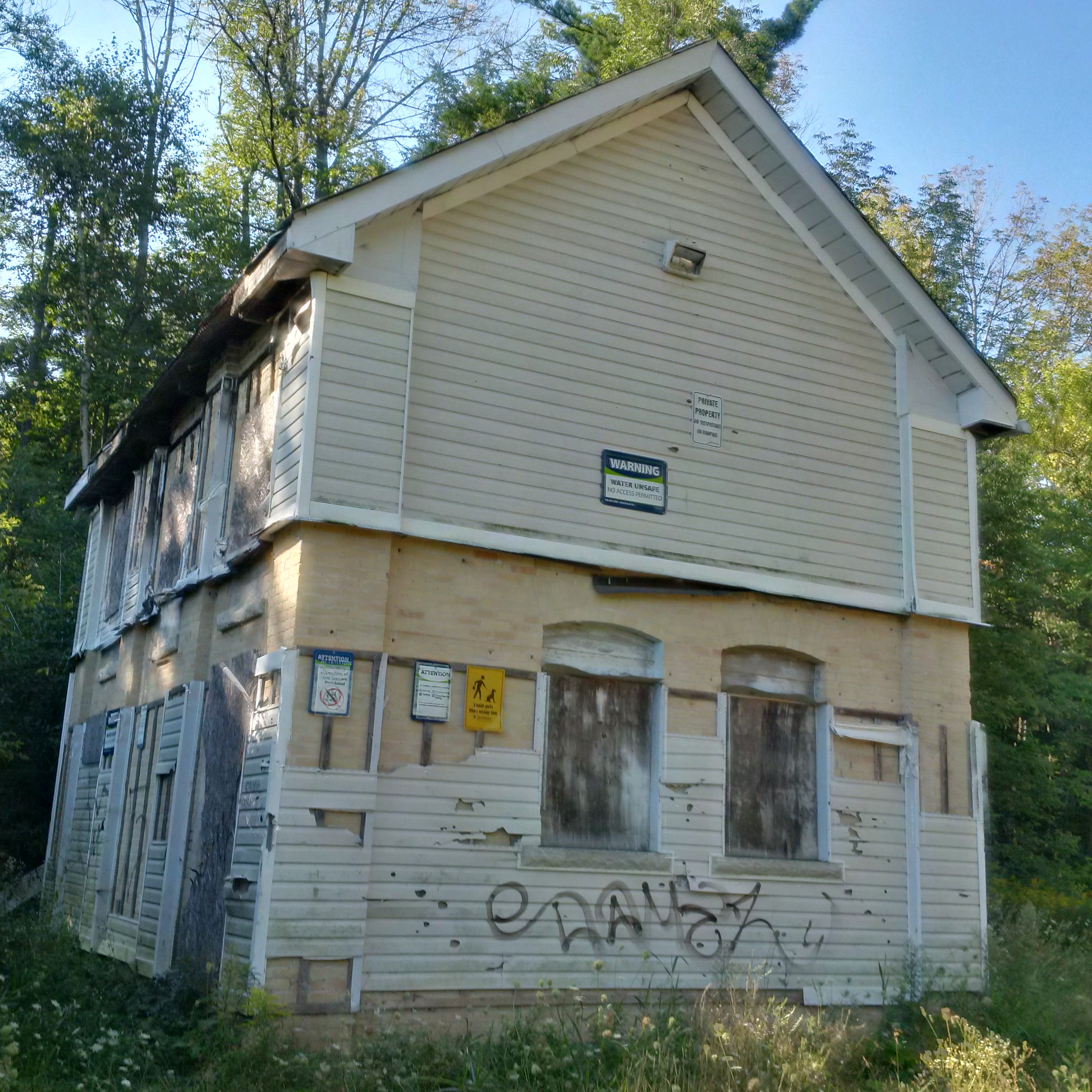
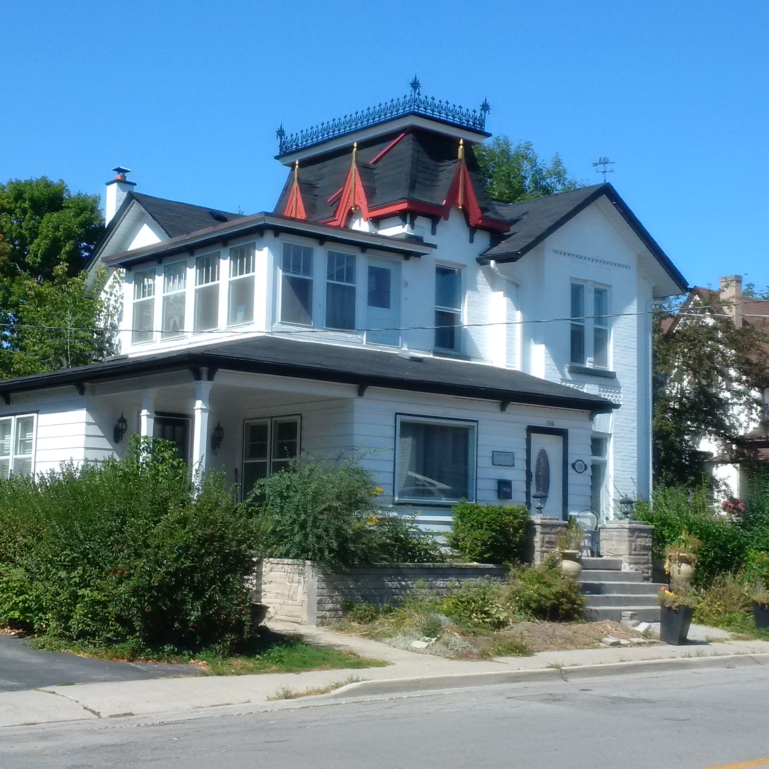
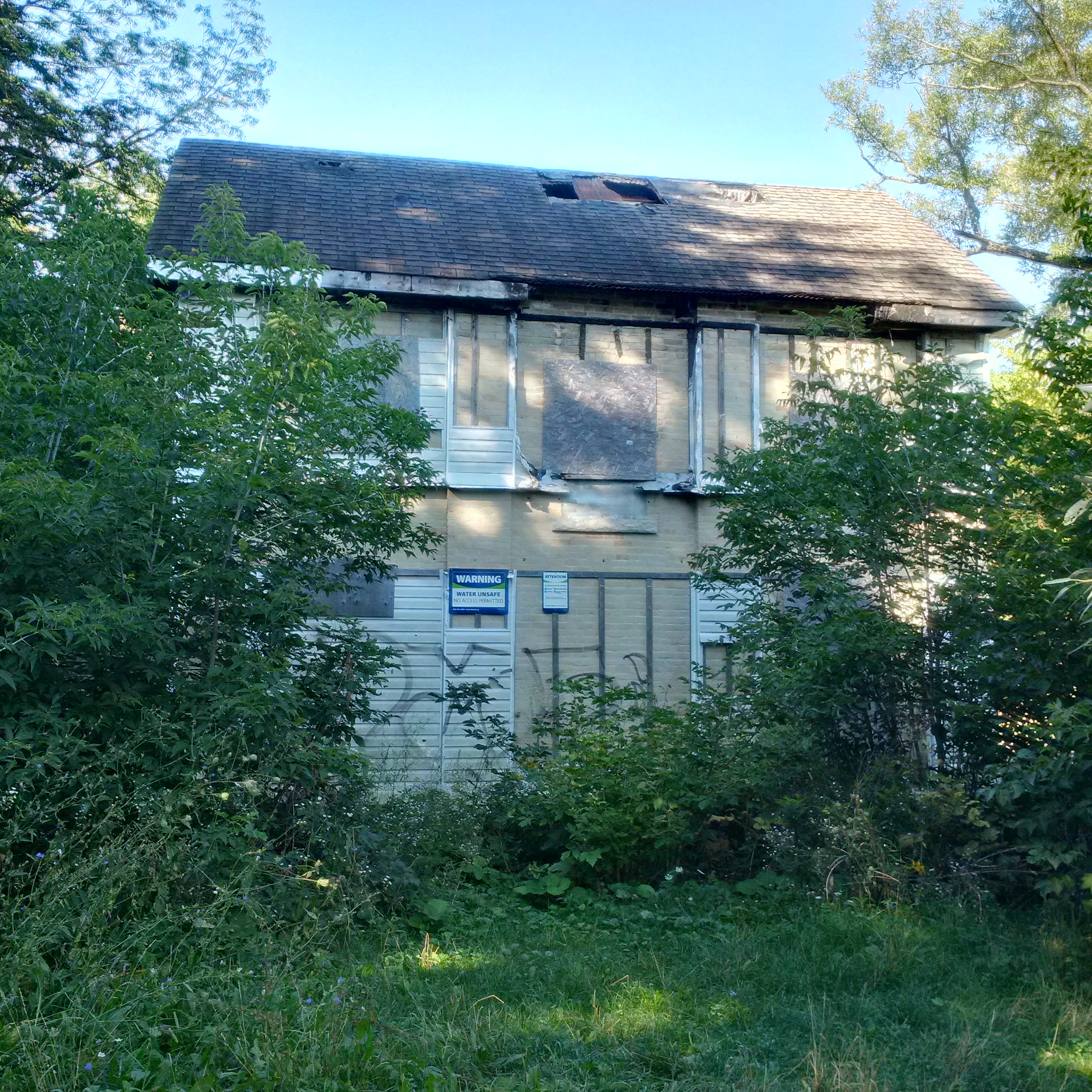
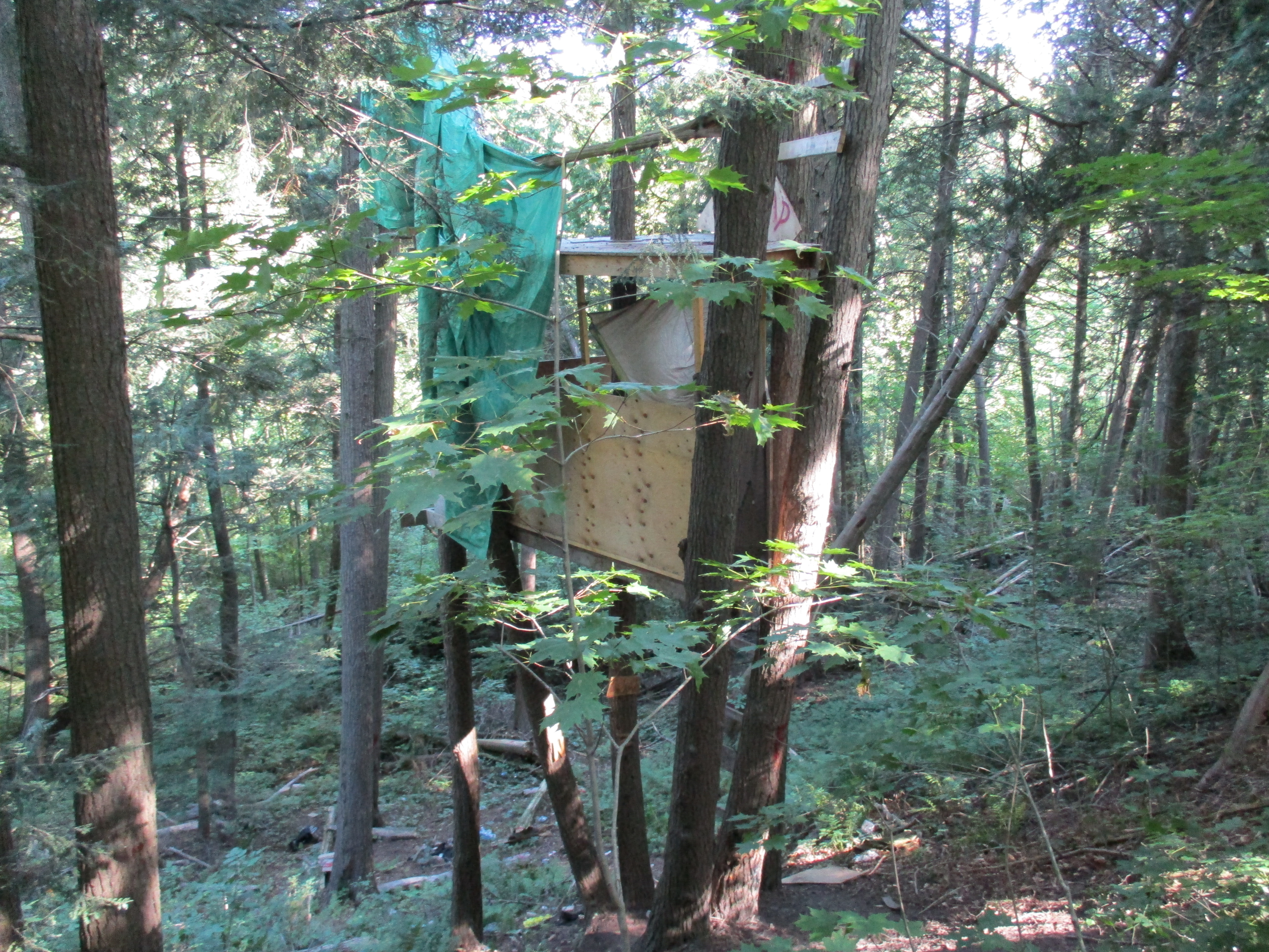
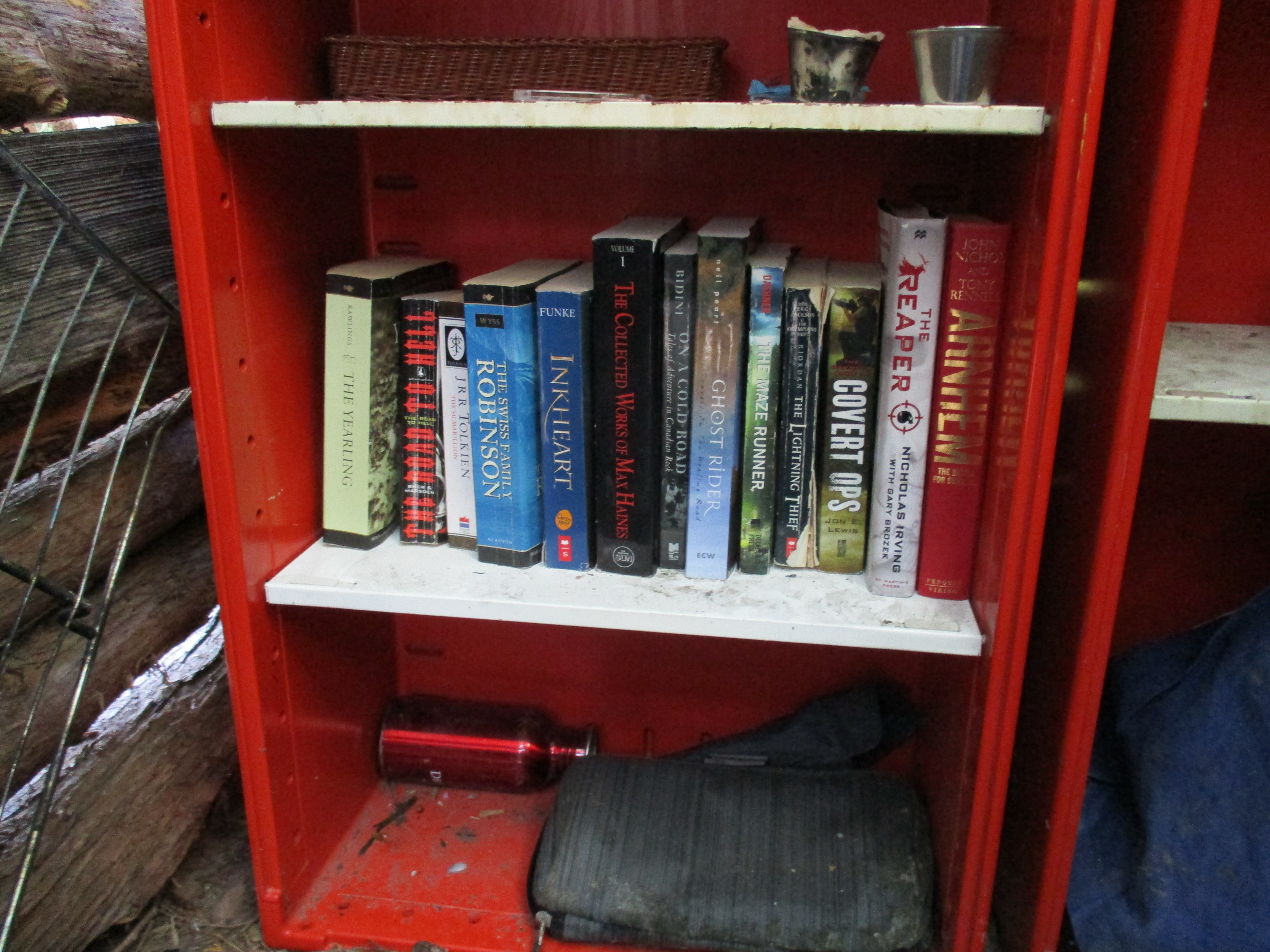
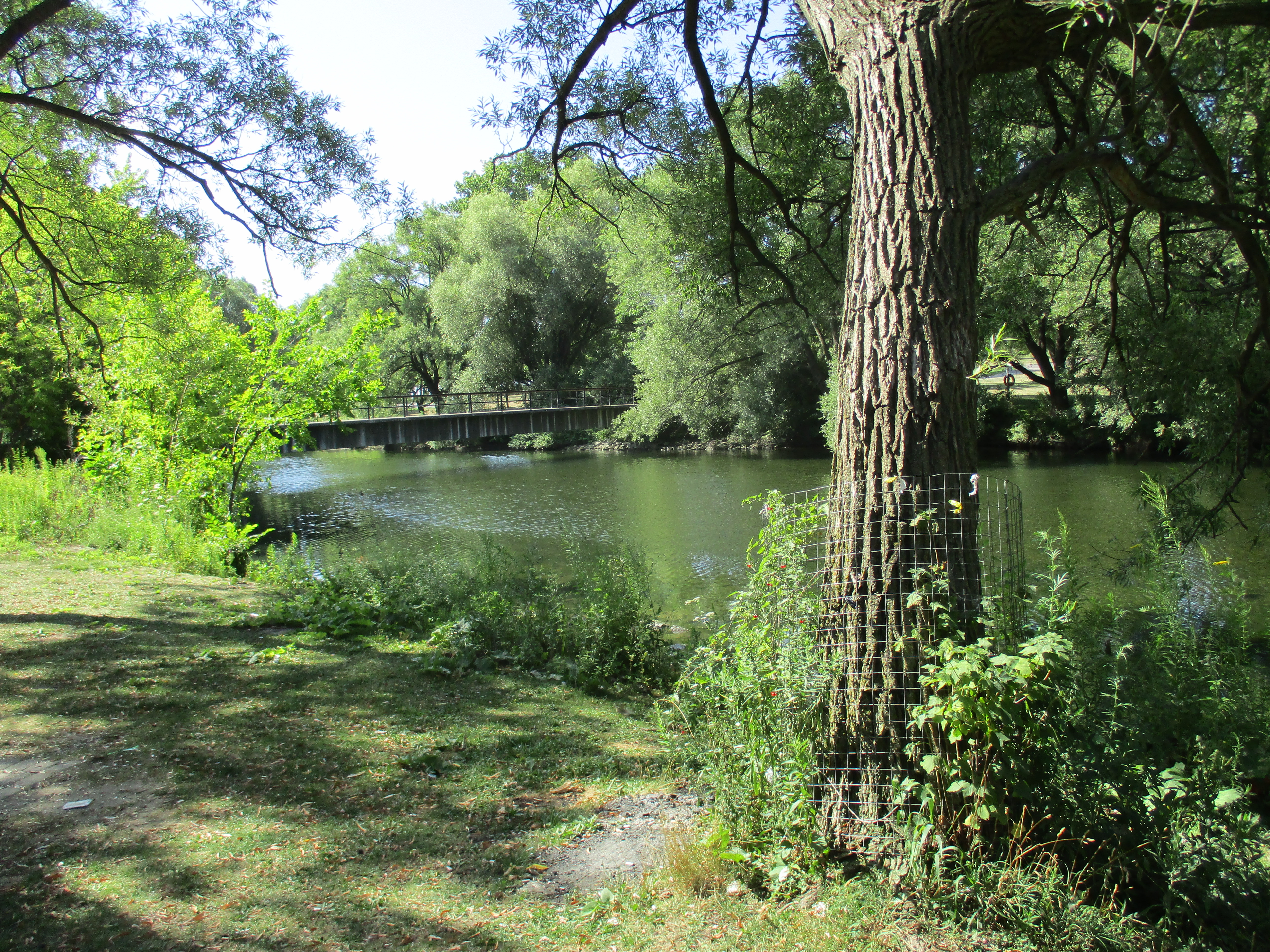
In 1936 Robert Clifford and Edith Gamble built a cottage on the lake.  It has been abandoned and is starting to decay.  There was a front porch but it has since collapsed.  It is just one of many buildings that were along the lake shore.  Bond Lake Inn and Stables are also now long gone.  The first pavilion, wading pool and merry go round have also all disappeared.  The second pavilion has been moved and is now in use as a three-car garage.

img_20160905_103658

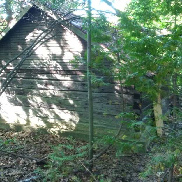
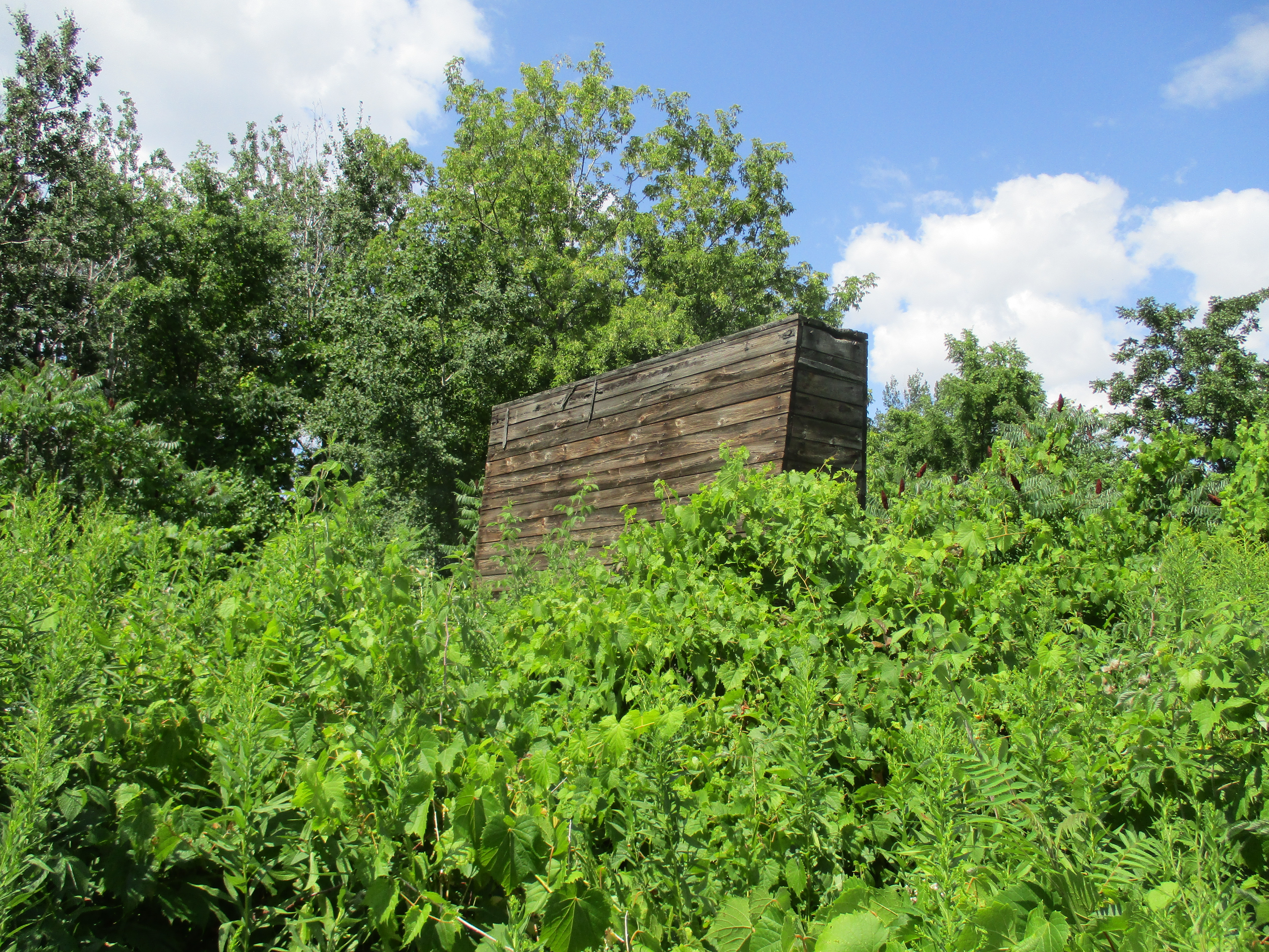
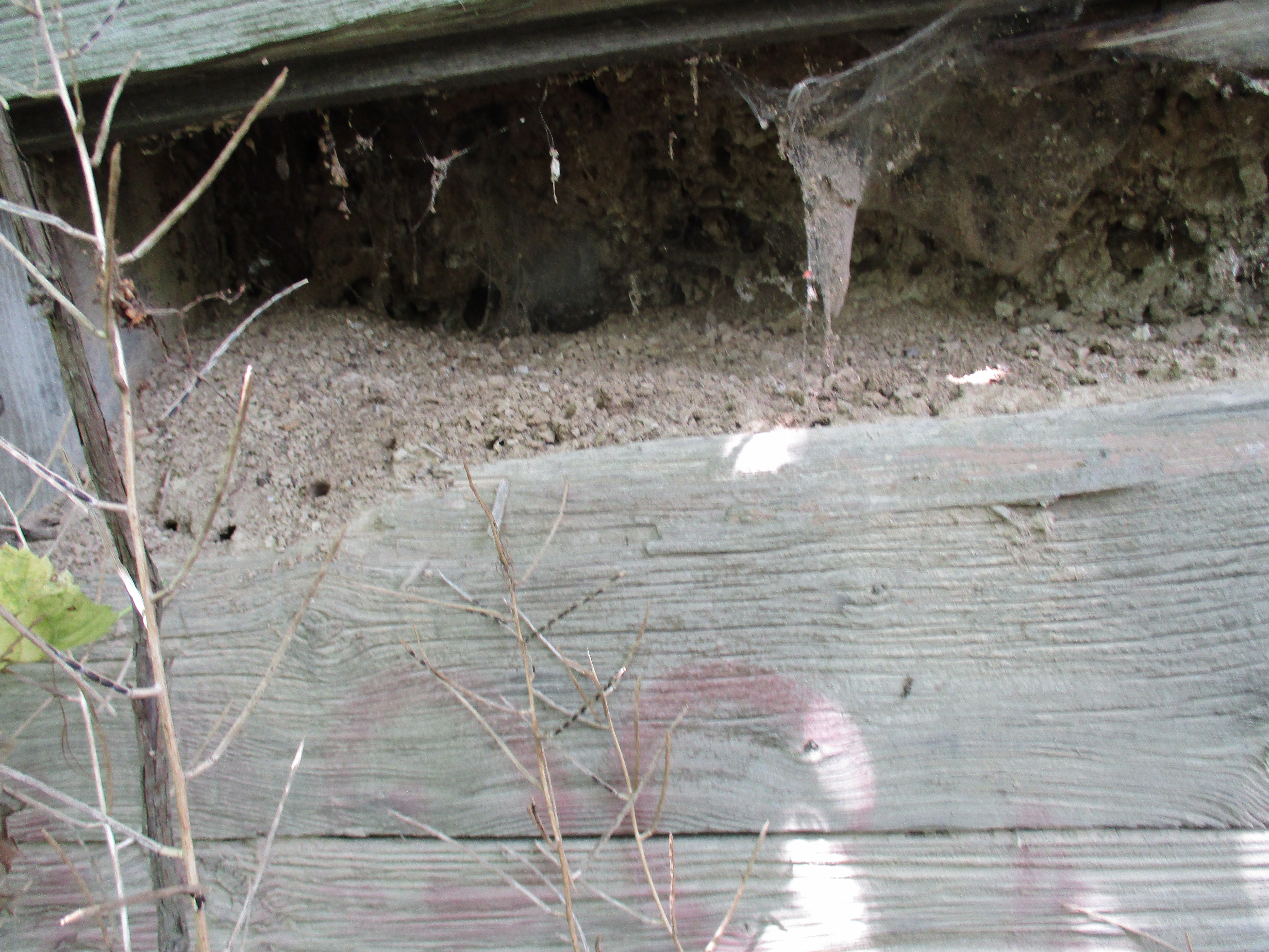
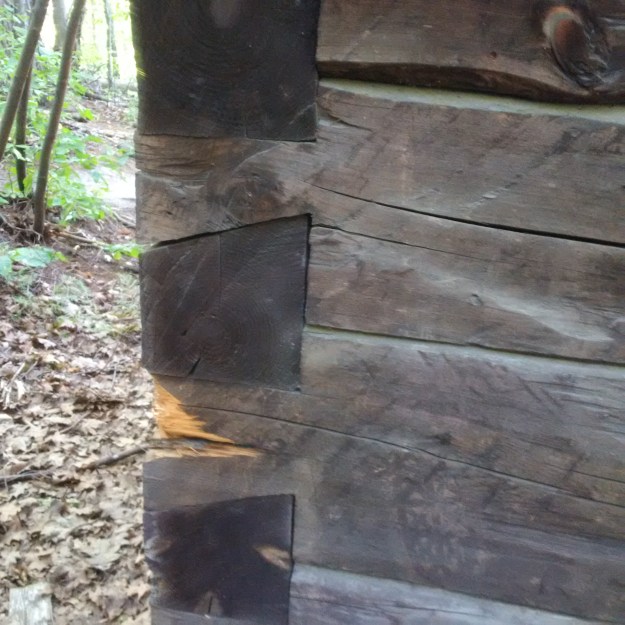
The construction of this log cabin illustrates a skill in dovetailing.  This woodworking technique likely predates recorded history as examples have been found in First Dynasty Egyptian tombs (around 3000 B.C.) and in ancient Chinese Emperor’s tombs.  A series of trapezoid pins on one part match with tails cut on the mating part.  Once set, a dovetail joint has a very high tensile strength, or resistance to being pulled apart, and requires no mechanical fasteners.  Pioneers created log homes with dovetail corners that are still standing 200 years later.

img_20160905_103735

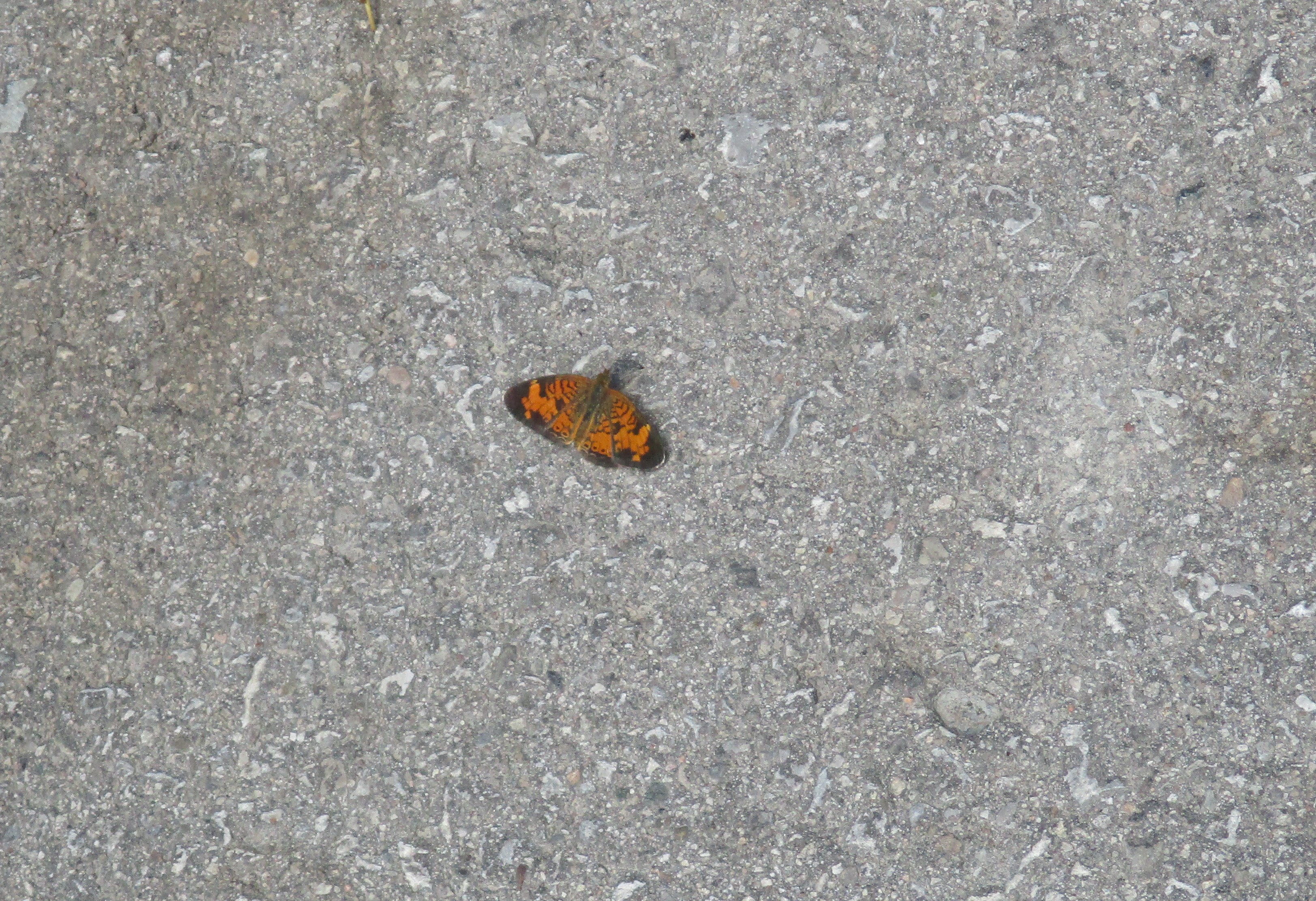
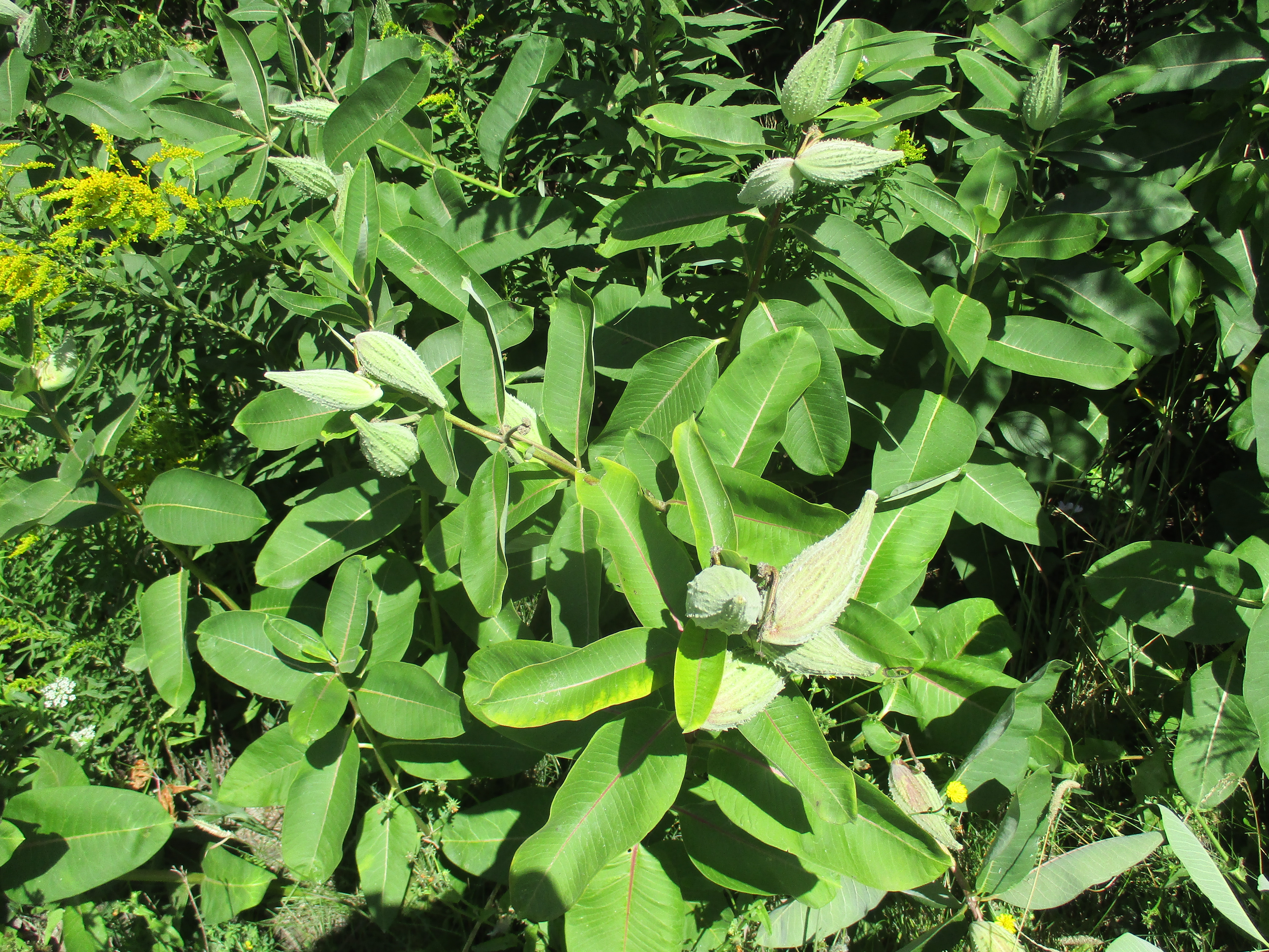
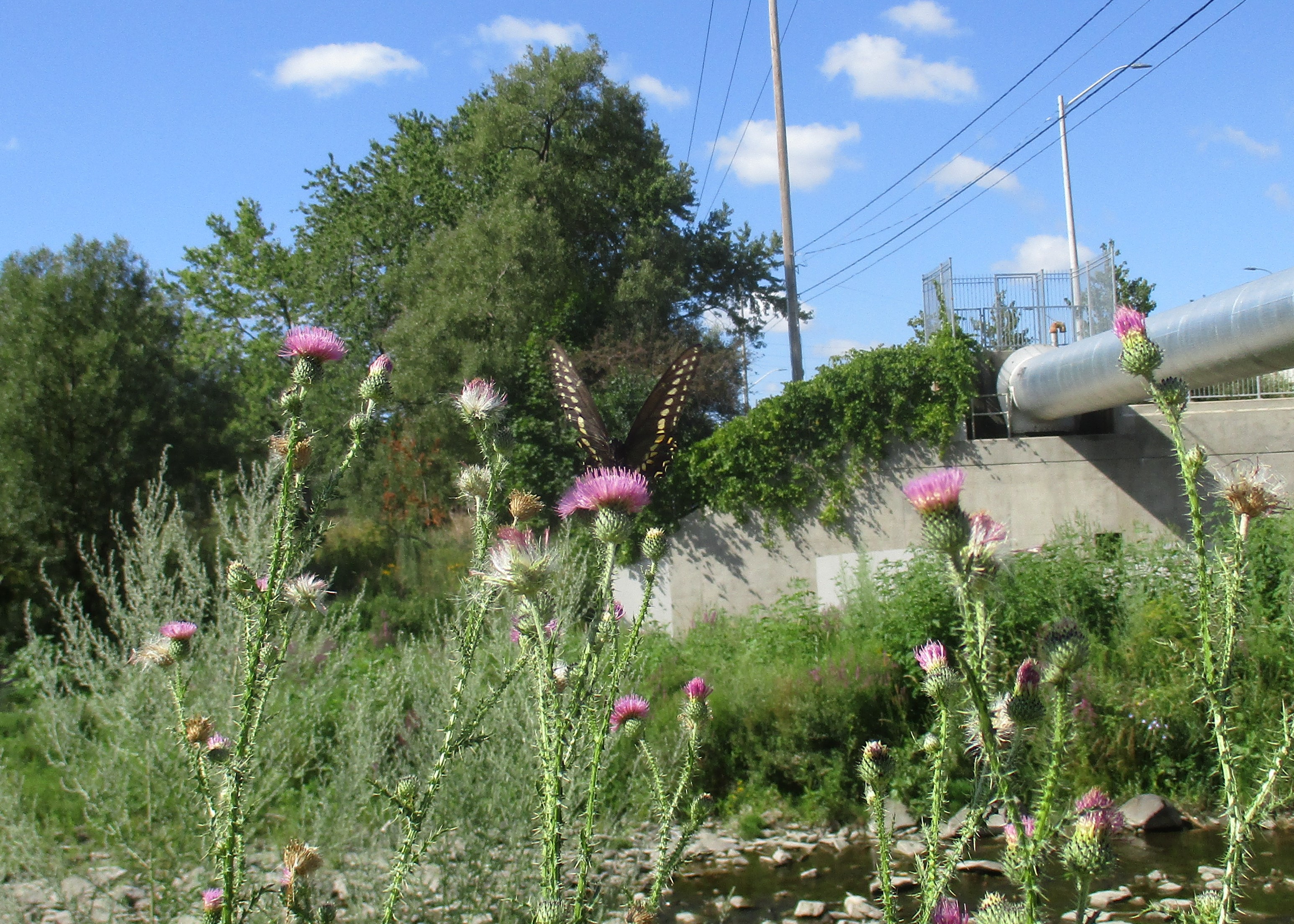
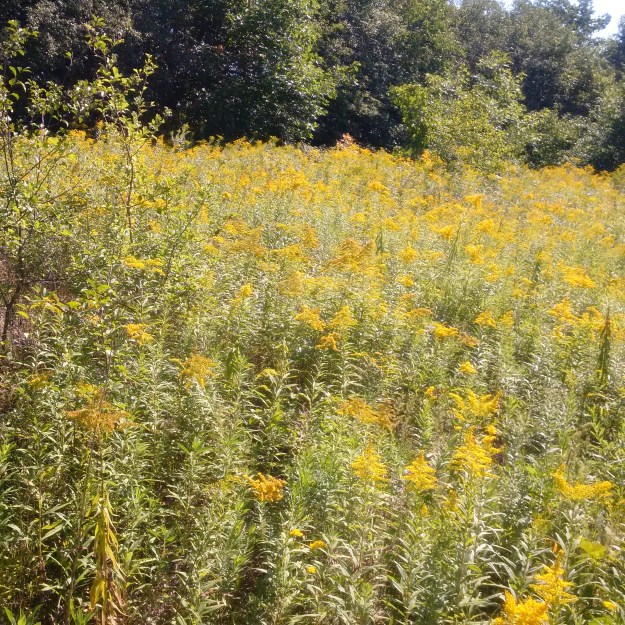
Another sure sign of the coming of autumn is the yellow of goldenrod in the meadows.  There are about 120 species of this plant and they are often blamed for hay fever.  In reality the pollen is very heavy and sticky and isn’t windblown.  Ragweed, which blooms at the same time, is the normal problem for most people.  The young leaves can be eaten and goldenrod is used in herbal tea.  The plant is a prime source of nectar for bees, flies, wasps and butterflies.

img_20160905_112558

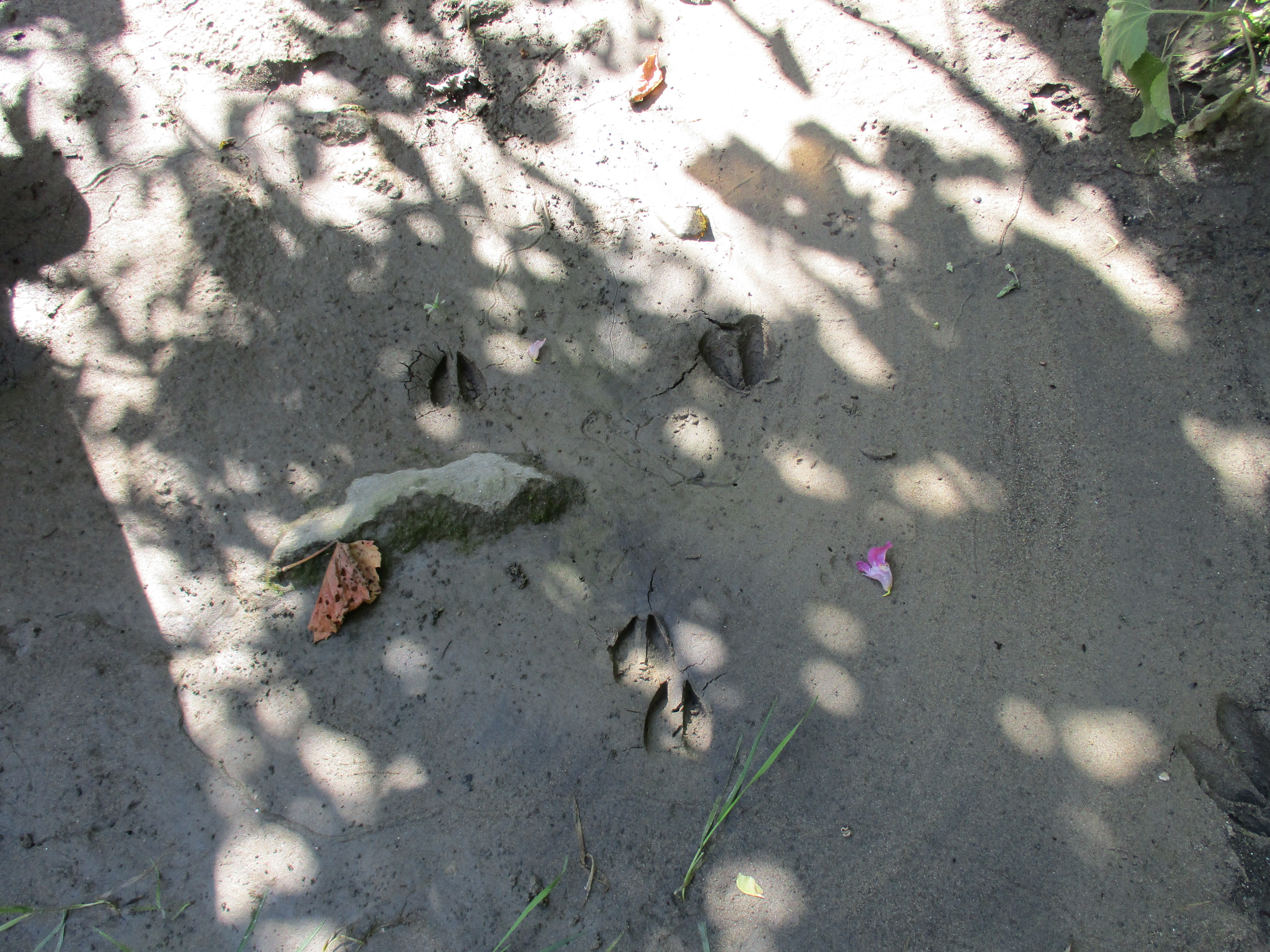
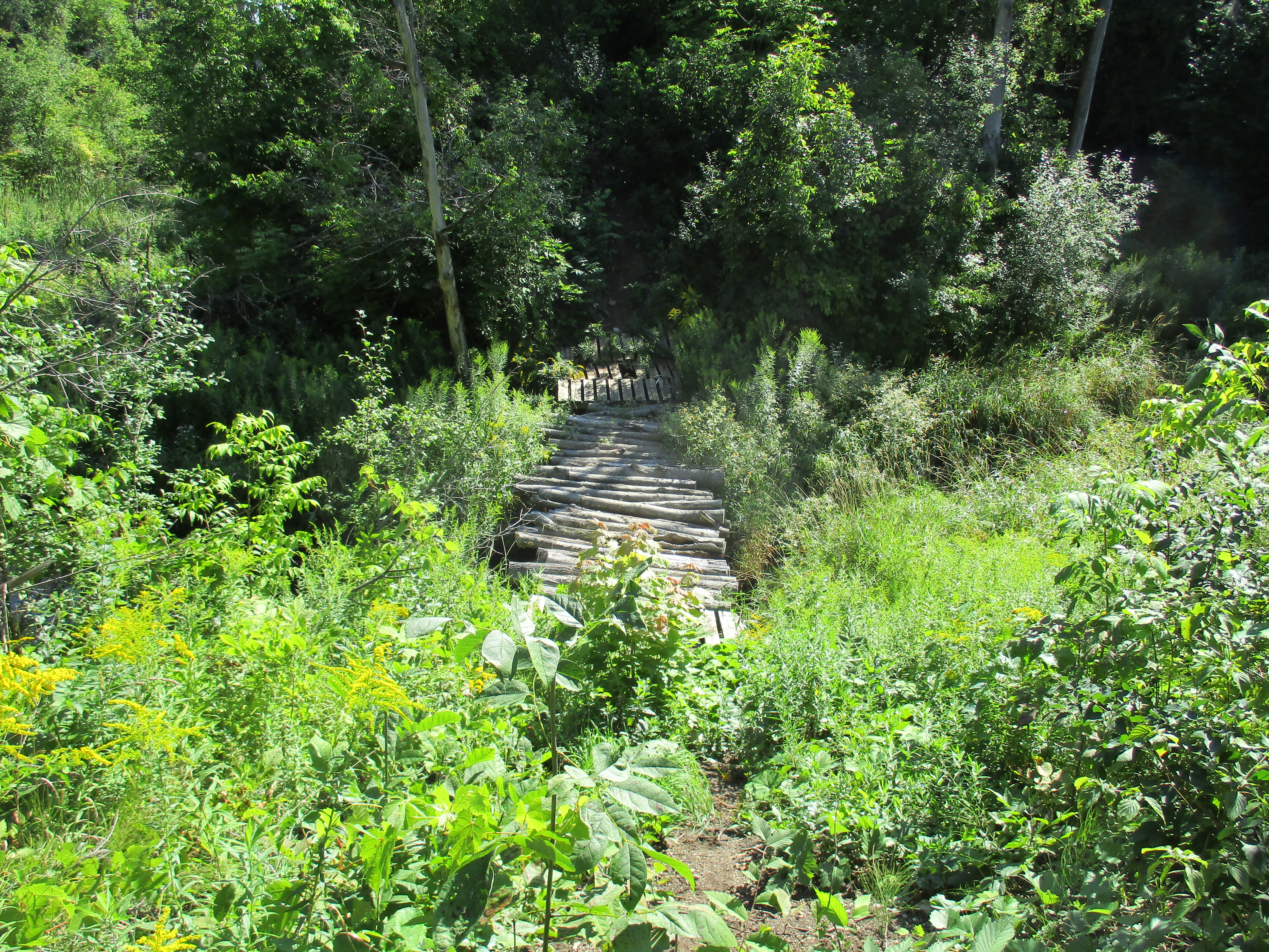
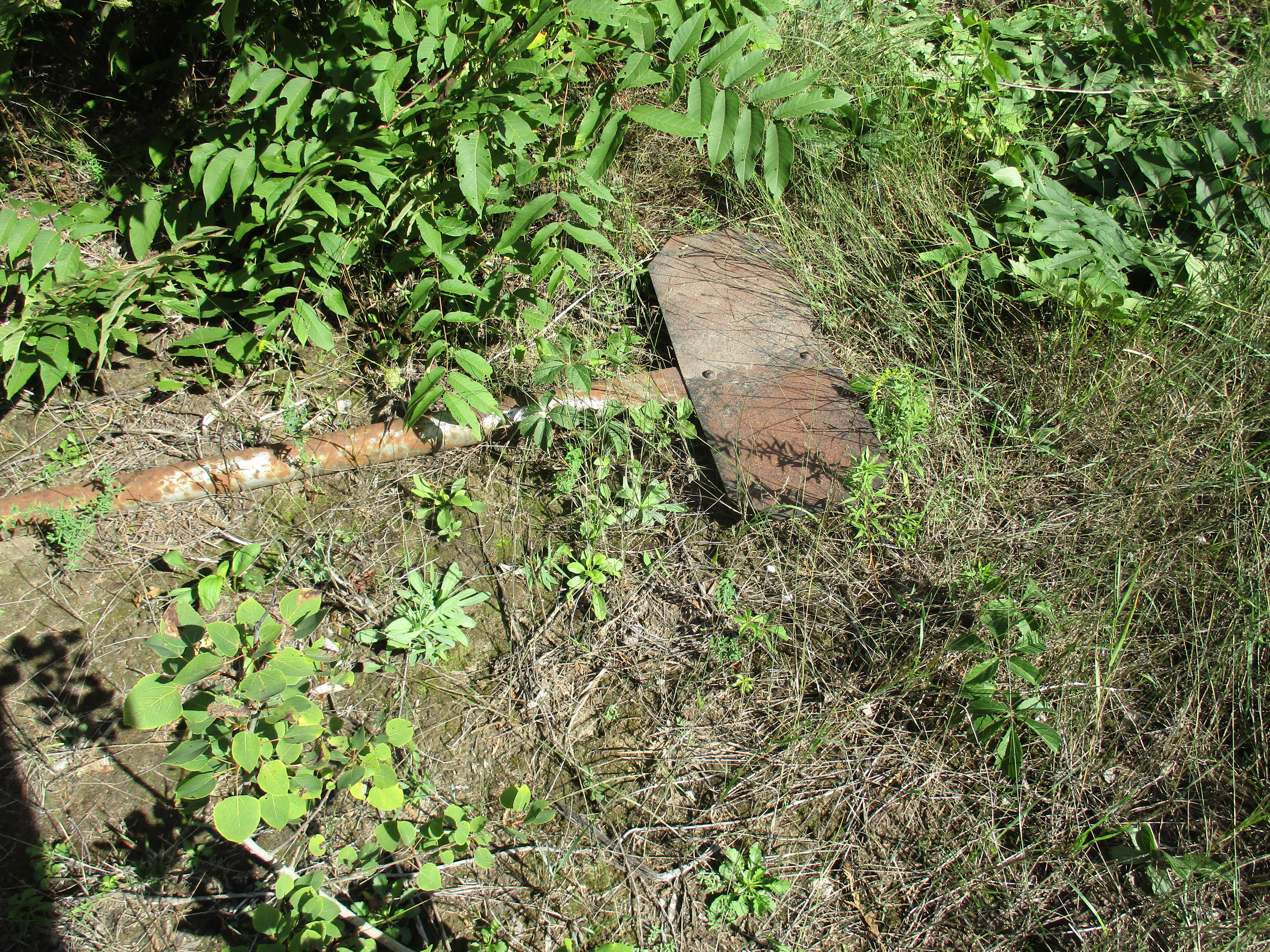
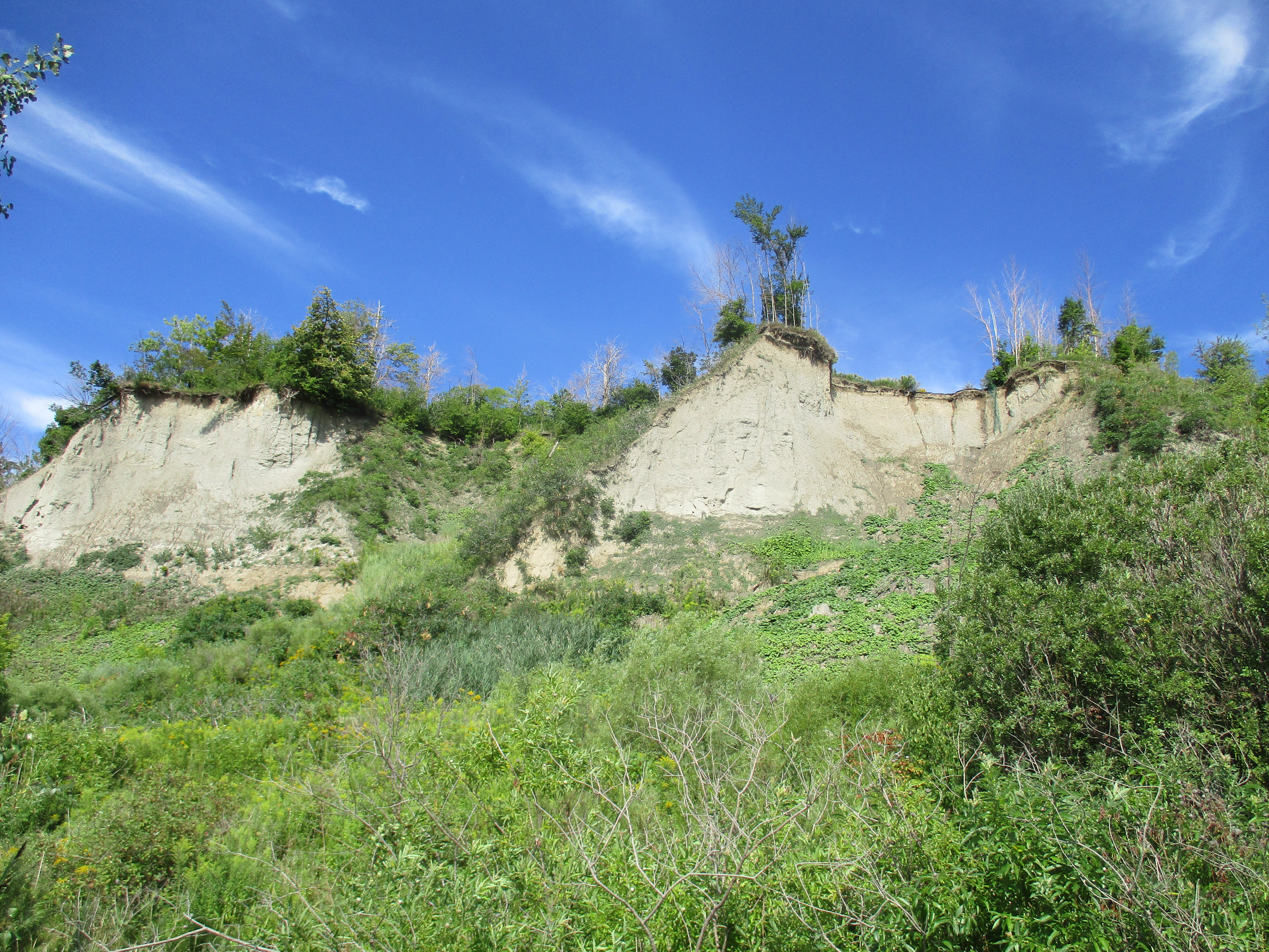
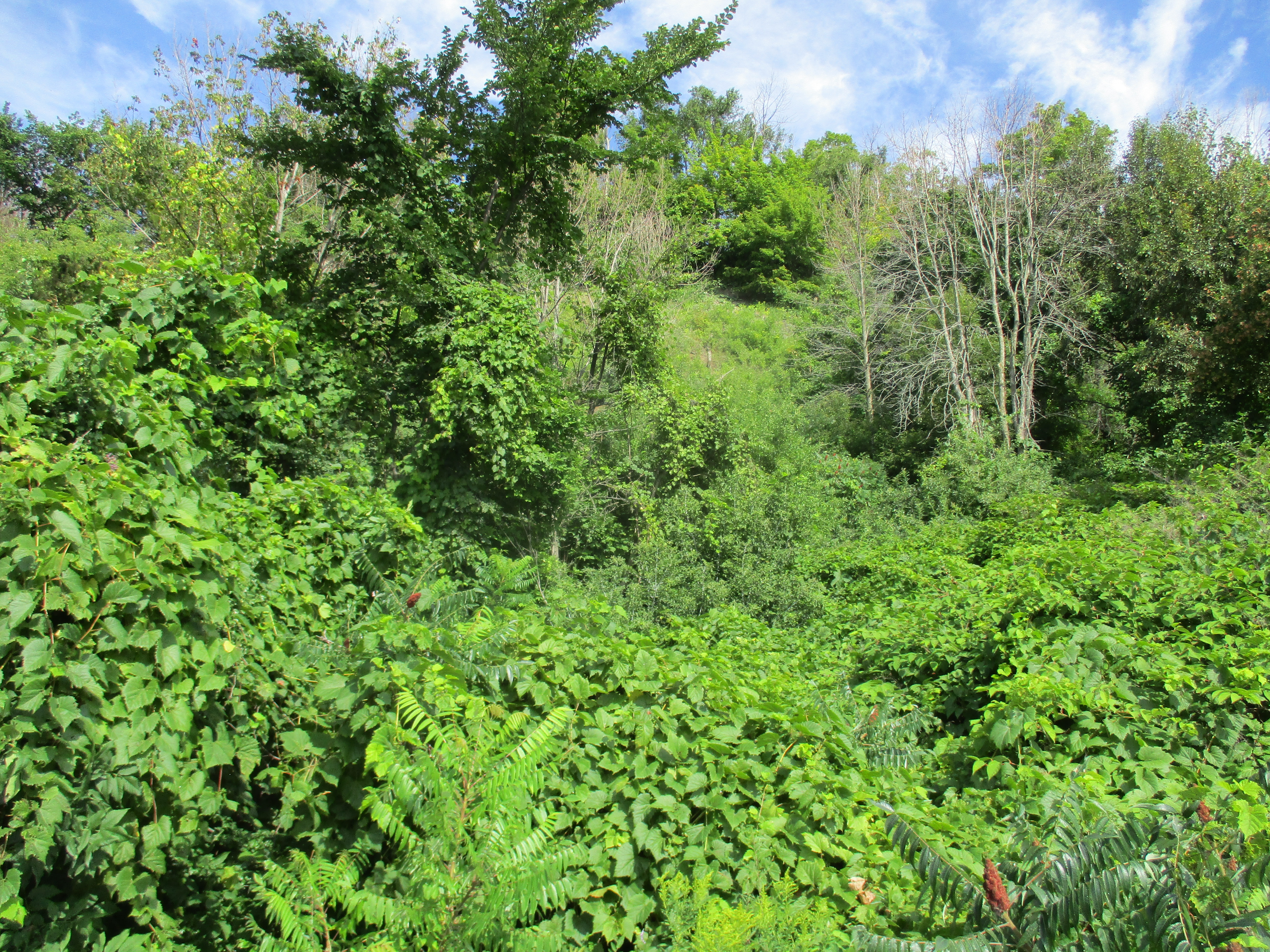
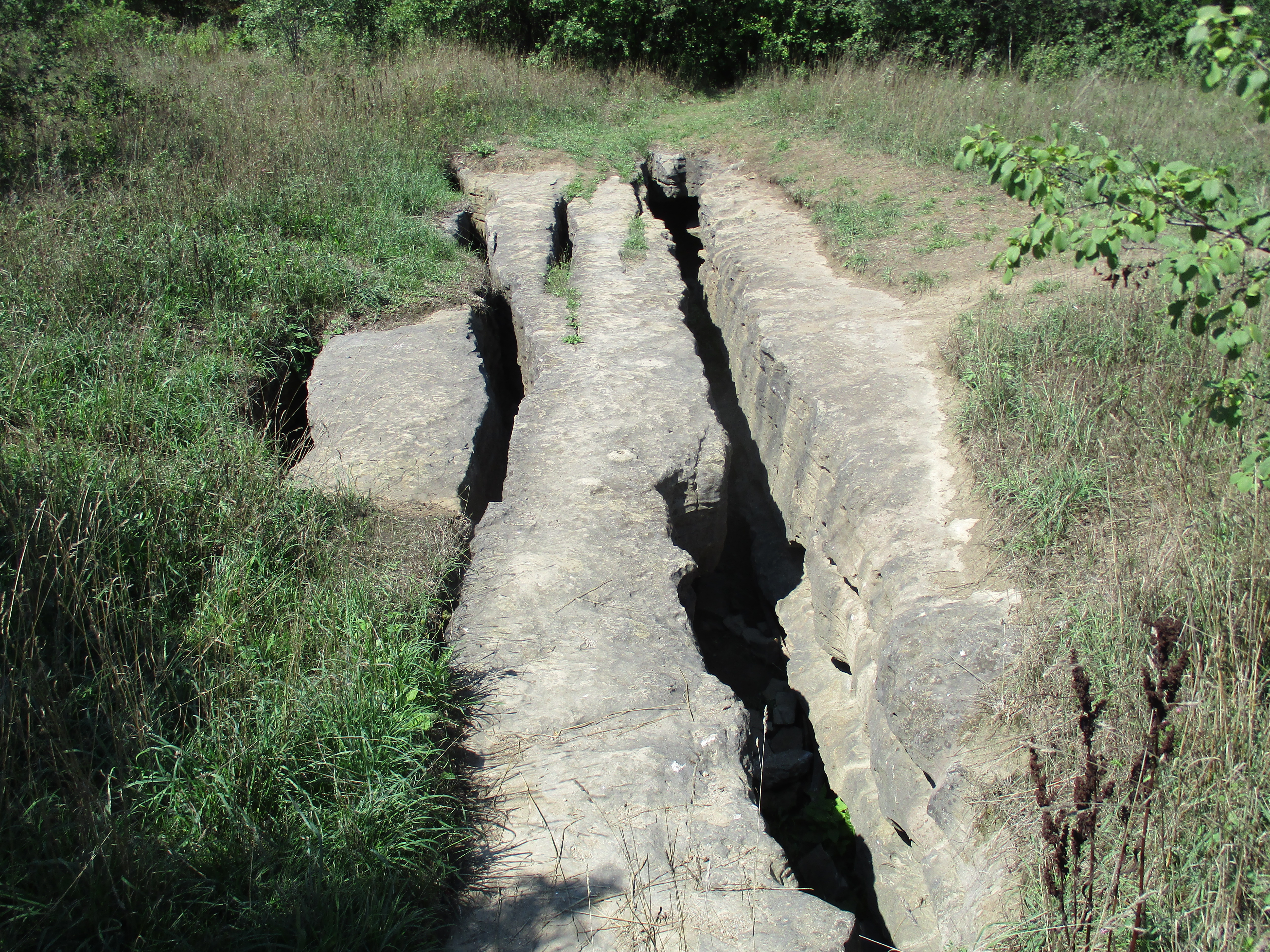
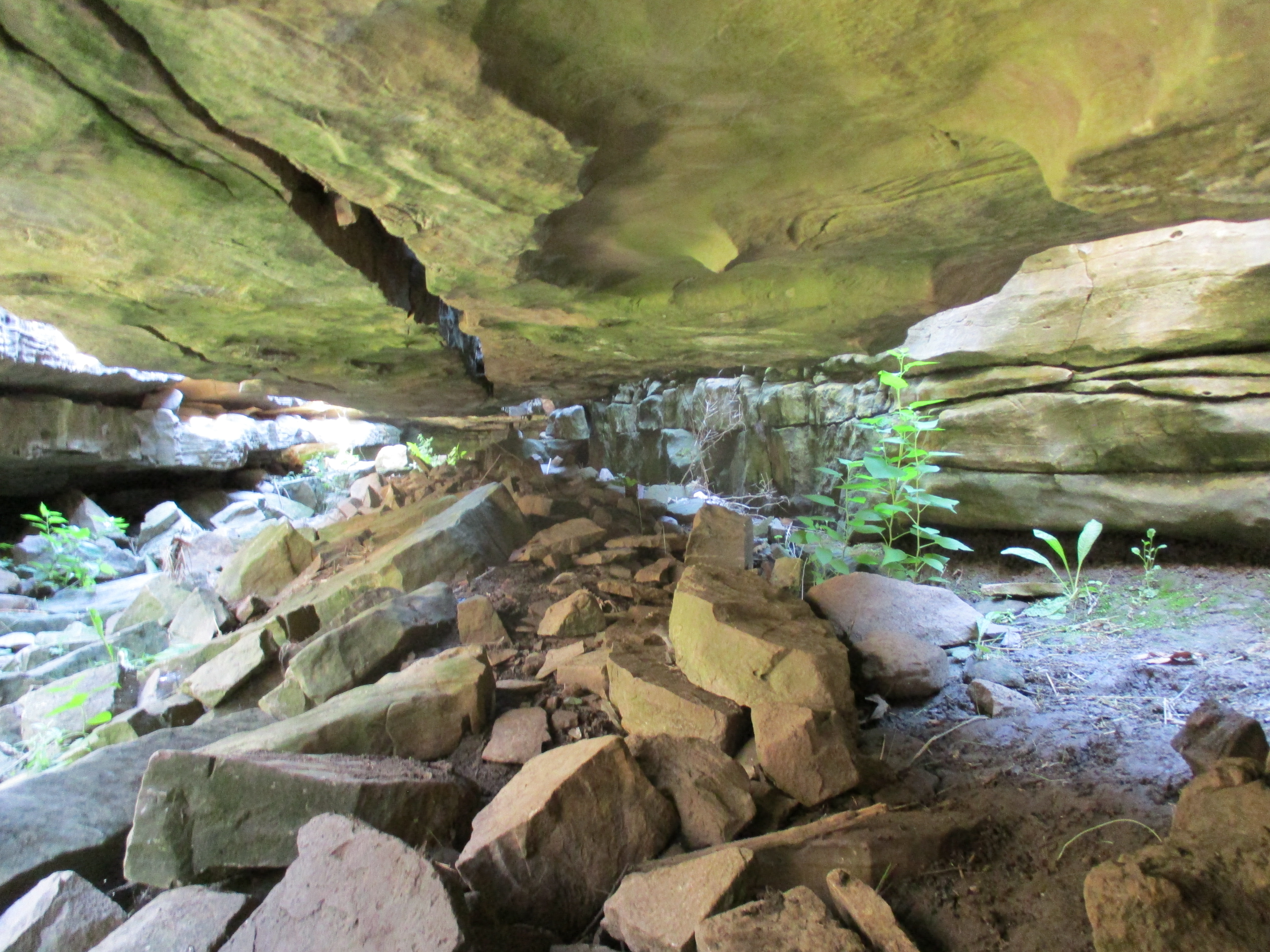
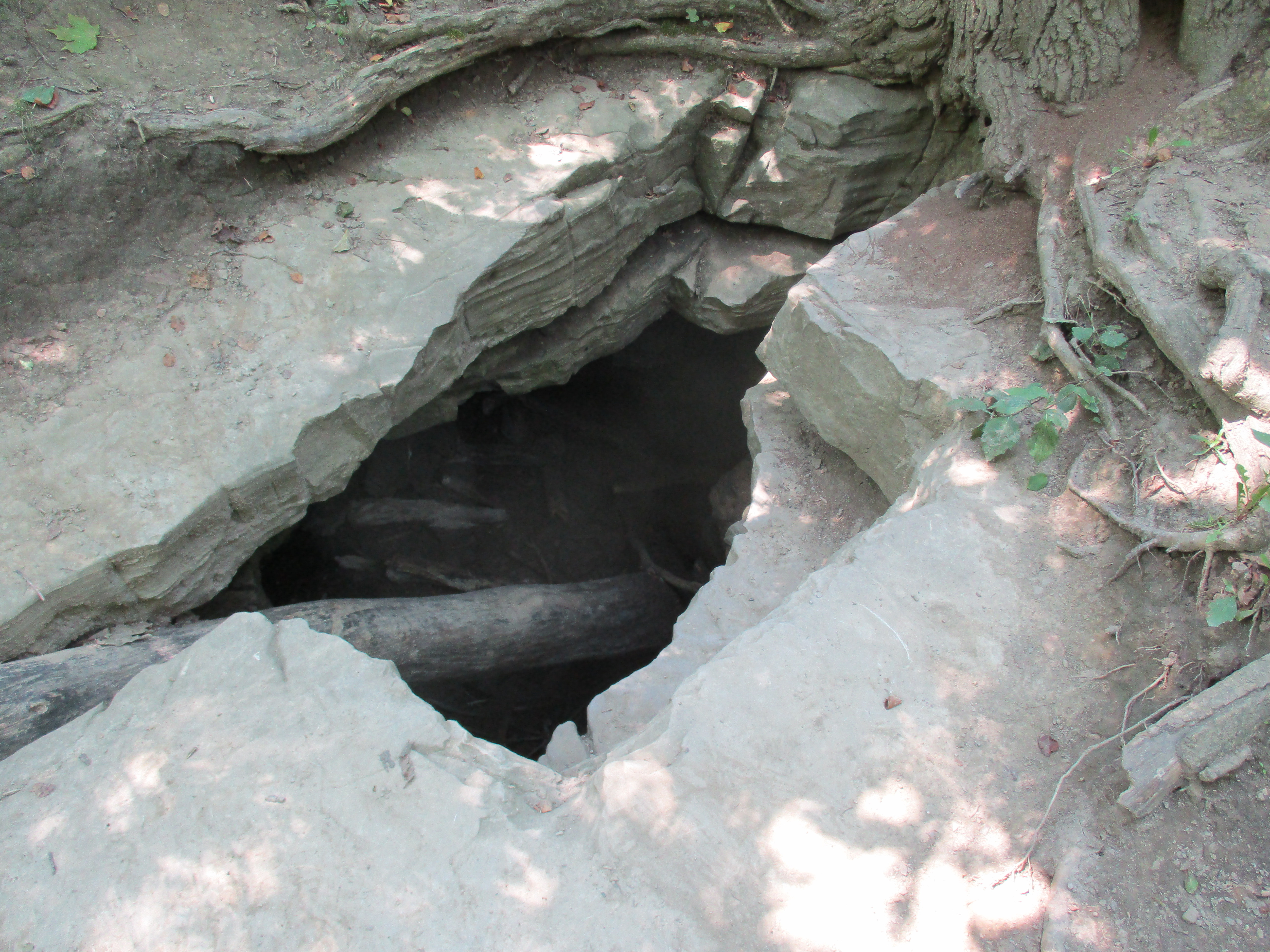
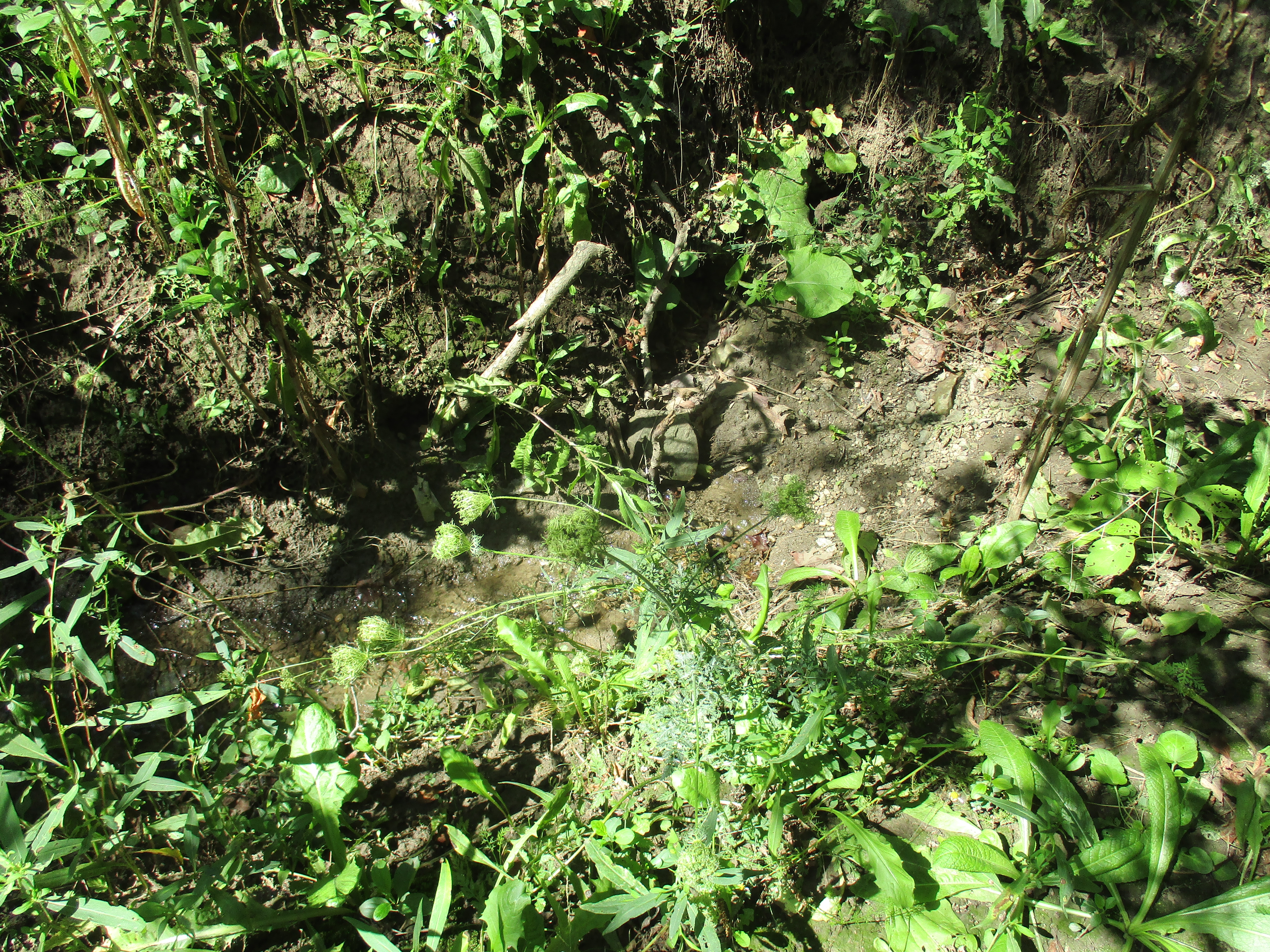
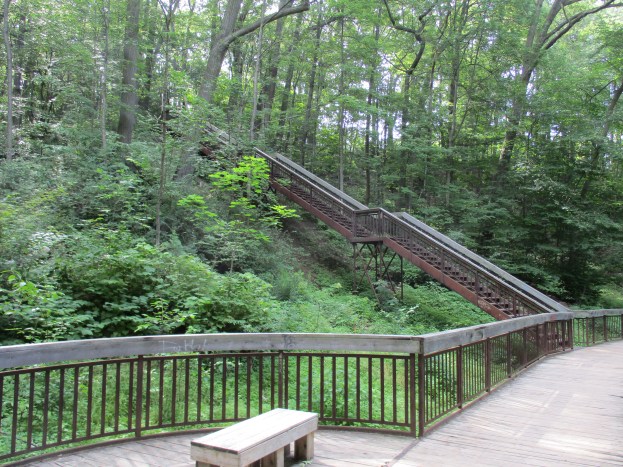
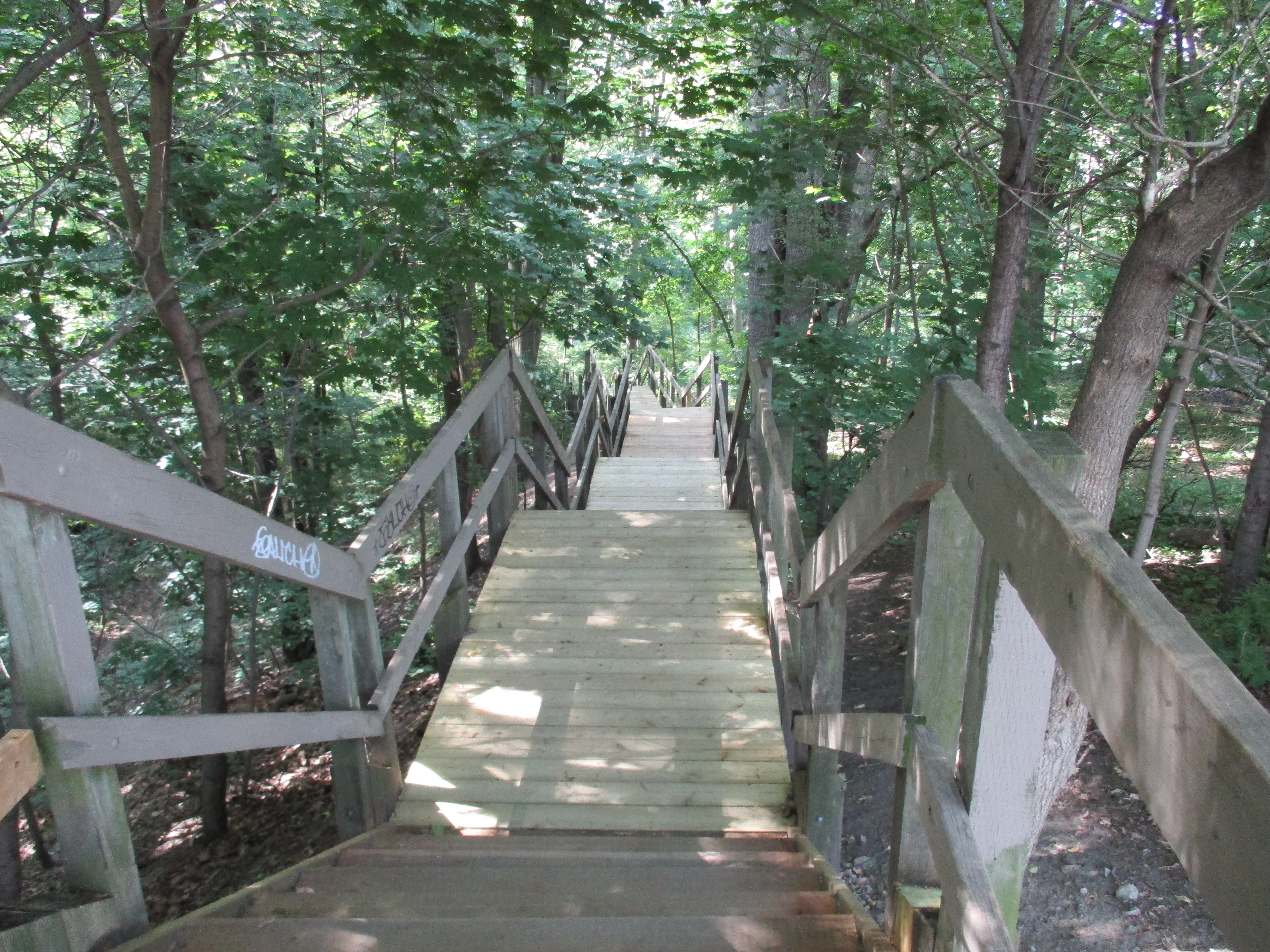
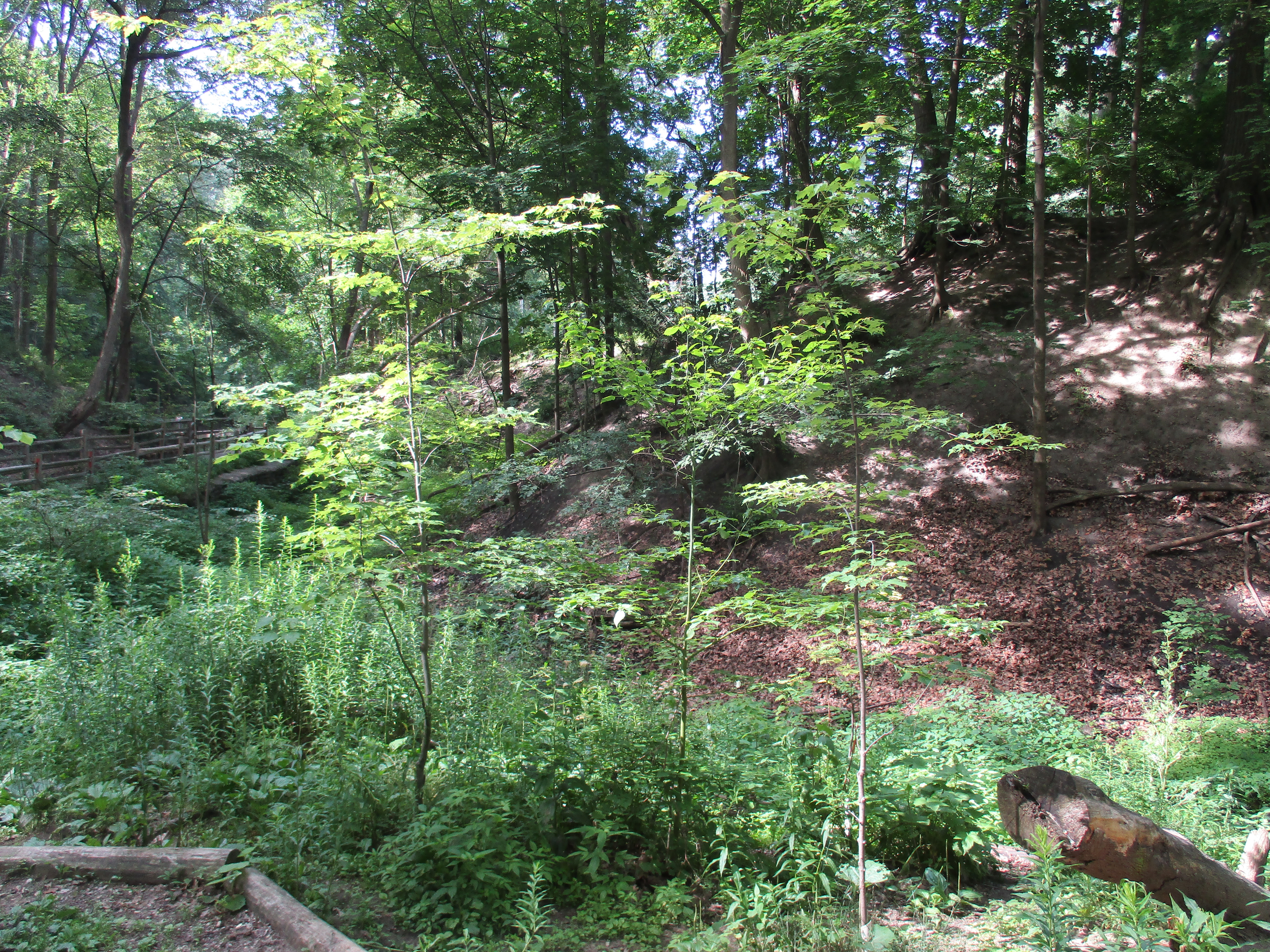
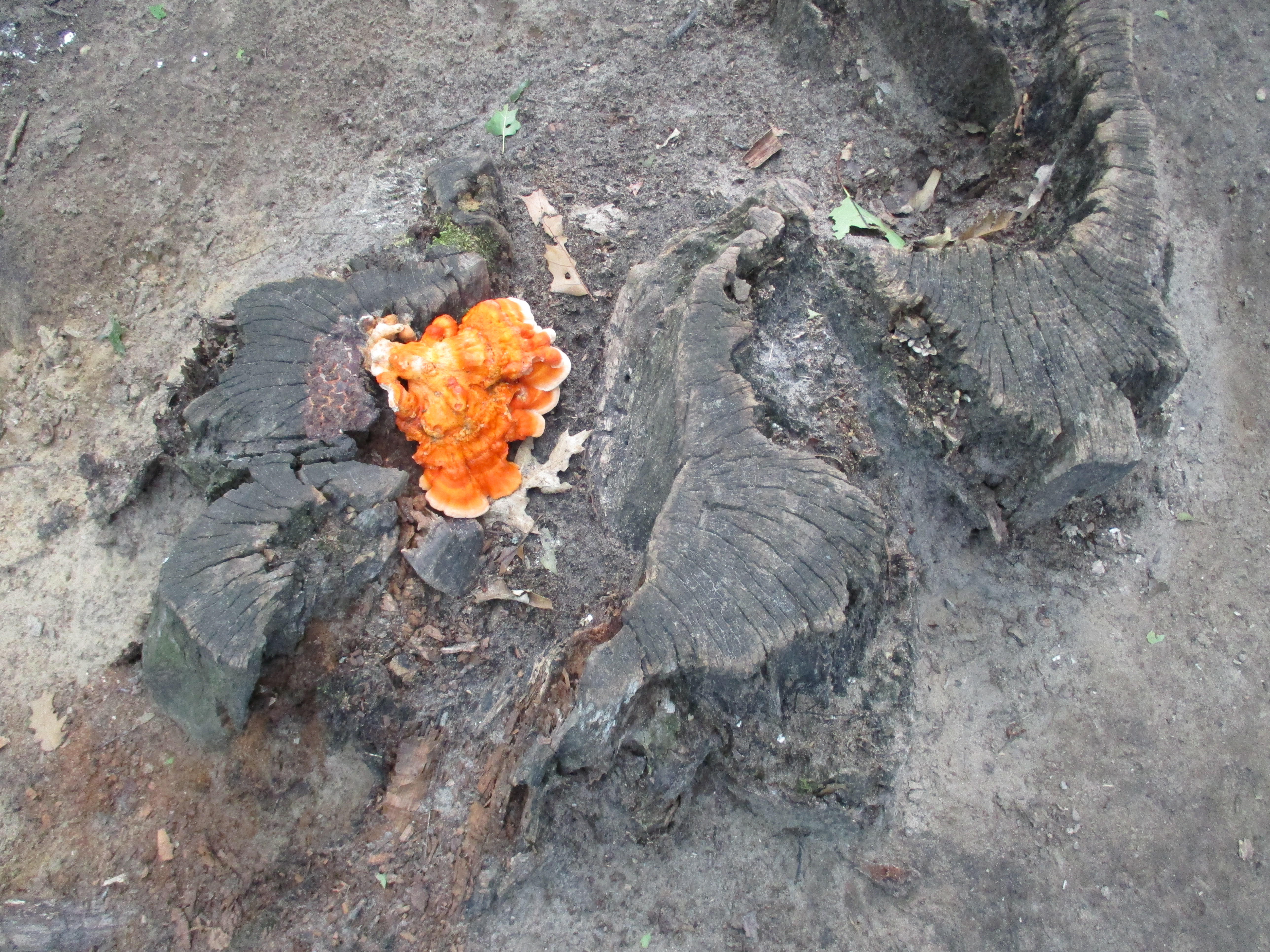
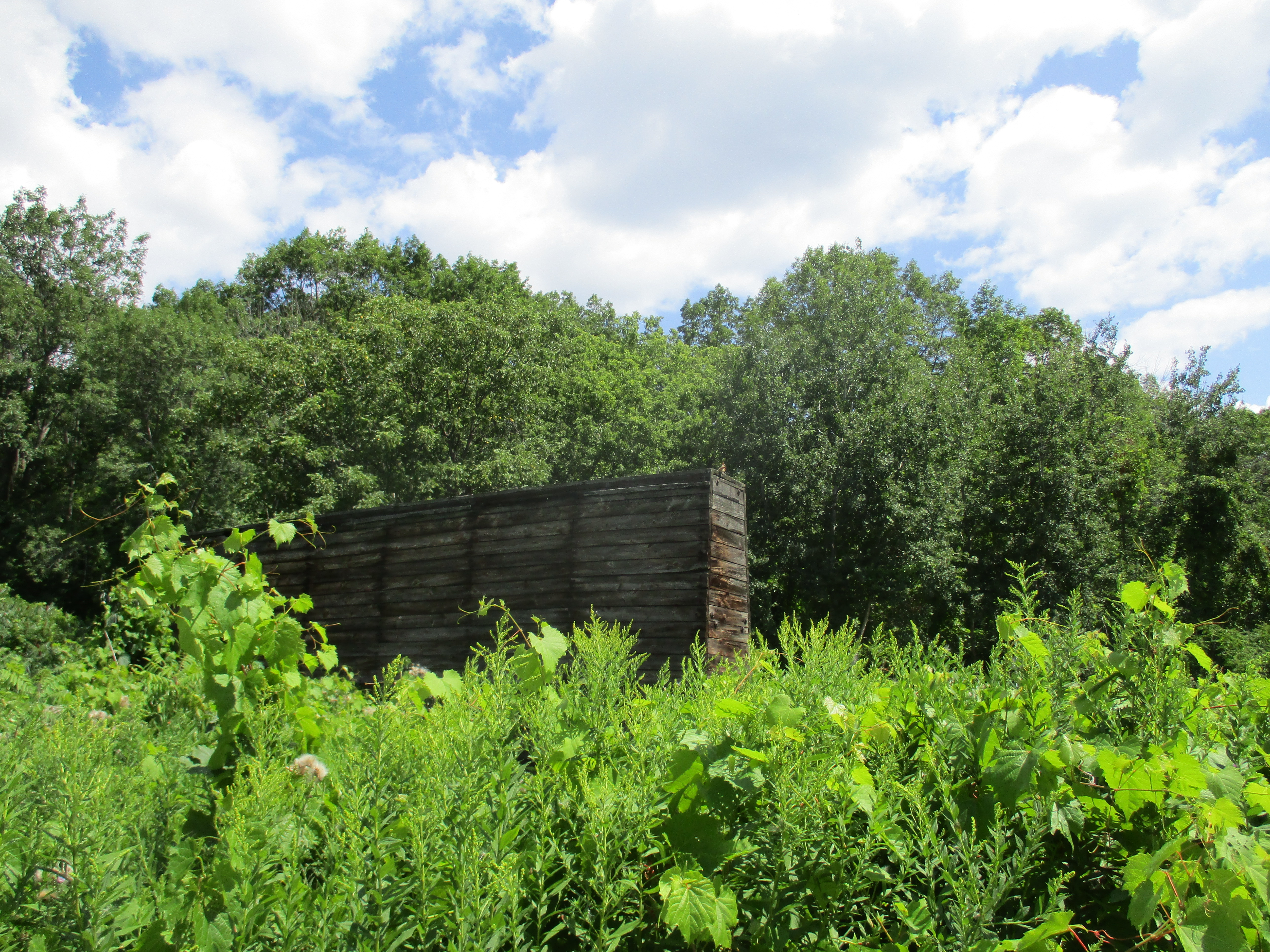
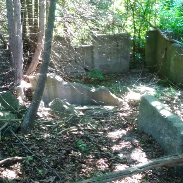
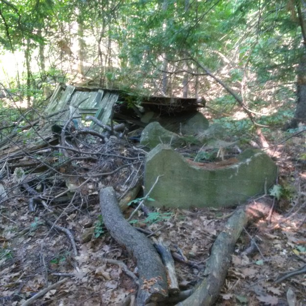
There are many other foundations and ruins at Bond Lake but it appears that more time should be spent when there are no leaves on the trees.  This is a very interesting place to explore.

Google Maps link: Bond Lake

Like us at http://www.facebook.com/hikingtegta

Follow us at http://www.hikingthegta.com


Toronto & York Radial Railway

Sunday Sept. 4, 2016

The Metropolitan Street Railway Company of Toronto was incorporated on March 2, 1877 and began service with animals pulling railcars up Yonge Street in 1885.  On Sep. 1, 1890 electrical power was used for the first time, however, this didn’t last.  Animal power was re-instituted within a few weeks and left in use until May 1891 when the electric service was resumed.  In 1893 the name was simplified to Metropolitan Street Railway Company and then in 1897 to simply Metropolitan Railway Company.  On October 26, 1896 the contract to build the 16 kilometer line from Hoggs Hollow to Richmond Hill was given to a Pittsburgh company who had only 24 days to complete the task.  Three hundred men worked in 3 crews and finished with three hours to spare.  The first train rolled into Richmond Hill on November 19th with the official opening coming on January 27, 1897.  Service was extended to Aurora and Newmarket by 1899 and the Metropolitan continued until Nov. 1, 1904.

On Nov. 1, 1904 the Toronto Railway Company acquired the line and it became the Toronto & York Radial Railway.  The City of Toronto bought the line in August 1922 and between January 1927 and March 16, 1930 it was operated by the TTC.  When service was suspended the municipalities got involved and contracted the TTC to run it for them.  On October 9, 1948 they were finally forced to admit that the service had been made obsolete by the personal automobile.

To accommodate passengers and freight the railway created a series of stops and constructed a variety of waiting rooms and stations.  The picture below shows one of the simple waiting rooms, this one originally on the west side of Yonge Street at Royal Orchard Boulevard in Thornhill.  It has been restored and moved just south to Cricklewood Park.  Other, more substantial stations survive, having been converted to other uses.  Queensville and Willow Beach Stations are now private residences.  Keswick is a law office while Sutton has been converted to use as a real estate office.

IMG_20160904_100559

The railway expanded north from Richmond Hill and in 1899 it built a generating station at Bond Lake.  The stonework for the boilers and furnaces remains on site but they are getting overgrown and there are well established trees in the rows between the furnaces.  The substation was built from brick but by the mid 1950’s it had been covered over with aluminum siding and was in use as a private residence.  It has since been abandoned and has two large holes in the roof.  Unlike other artifacts from the rail line there appears to be no interest in preserving this one.  There are many more pictures of this site that were presented in a pictorial called Electric Railway Generating Plant.

img_20160905_095427_hdr

A former bridge abutment in Aurora marks the original route of the railway into town.  It is located just east of Yonge Street off of Industrial Parkway.  It was built in 1899 to support a trestle across the Grand Trunk Railway (GTR).  The 9 foot column of limestone blocks was abandoned in 1922 when the trestle was removed.  The radial line was relocated next to the Yonge Street underpass for the GTR.

IMG_20160904_103401

Newmarket was becoming the economic centre for a large area and in 1883 they decided to build a new town hall.  The Italianate Style building housed a successful farmer’s market on the first floor and  the town offices on the upper one.  The train entered Newmarket along the side of the town hall and had it’s station and freight sheds where the parking lot is across the street.

IMG_20160904_115202

The railway made it’s way north toward Queen Street via Raglan but it’s not possible to walk through there anymore.  You can go to Church Street where you will see the house pictured below.  The Newmarket Historical Society has done a great job of identifying homes in the old town core and placing a plaque showing the original owner, their occupation and the date of the home.  This Late Victorian home was built in 1894 for a painter named Ernest E. Groome.

IMG_20160904_115528

The tracks followed Queen Street across Main Street to the GTR tracks where it departed from the street on it’s own trestle.  The abutment still remains on the side of the tracks along with a smaller one that can be seen through the arch.

IMG_20160904_112837_hdr

In 1909 the railway built the parabolic arch bridge that still spans the Holland River.  It was one of the first concrete arches built in Canada and supported the trestle that crossed the river here and the GTR tracks above.  It spans the river at 15 meters wide and rises 7 meters above it.  Newmarket also has the very unique remains of an abandoned canal that proposed to connect the city with Lake Simcoe using the Holland River.  When this portion of the railway was abandoned in 1930 the trestle was demolished.  The arch has been recognized for it’s historic value and is being preserved by the city and the South Lake Simcoe Conservation Authority giving the city a second unique piece of transportation history.  The arch is also featured in the cover photo.

IMG_20160904_111941_hdr

By 1850 there were over 9,000 miles of railway track in the United States and only 60 in Canada.  On October 15, 1851 a sod turning ceremony was held in Toronto to mark the start of the city’s railway era.  The Ontario, Simcoe and Lake Huron Union Company made it’s first business run on May 16, 1853 going as far as Machell’s Corners (Aurora), 30 miles north of the city.  Construction continued north in 1853 reaching Allendale later that year.  After a series of mergers the GTR acquired this line in 1888.  By 1900 passenger and freight traffic was still increasing and so a new station was built.  It is a simple one story wood frame structure with wood cladding.  The style is Queen Anne Revival that was popular between 1880 and 1910.

IMG_20160904_120917

The North York Registry Office was built in Newmarket in 1884 to replace an 1863 building that sat on the lot to the immediate south.  The building was designed to house the records of land titles, births, deaths and marriages in the County of York, except for the Toronto jurisdiction.  It was intended to hold the county records for a period of 50 years.  In the end it served until 1980, just shy of a century.  It was built in a style that was mandated by the Ontario Department of Public Works in 1868.  Today it houses a museum.

IMG_20160904_114335

Feb. 14, 2017

A fire at Yonge and St. Clair destroyed the Badminton and Racquet Club building in one of the biggest fires in recent history.  Until 1920 this had been the site of the car barns for the railway.  The TTC was consolidating assets and the building was found to be redundant. There were seven courts laid out in the old car barns and it is said that tracks could still be seen buried in the floor of the racquet club.

October 14, 2021

Another generating station was located at the corner of Kennedy Road and Metro Road. It has since been converted into a private residence.

The Toronto & York Radial Railway built its terminus in Sutton in 1908. The station master and his family lived on the upper floor while the lower one served as the station. Radial service began in Sutton on January 1, 1909 and continued until March 16, 1930. The building was then purchased by the Hydro Electric Power Commission who used it as an office until 1970. It currently serves as home to a real estate brokerage. The beautiful brickwork has been covered over with bland siding but otherwise it remains in good shape with a bay window that no longer looks out over railway tracks.

There are still a couple of artifacts from the railway line that have not been documented. These include the Queensville Station which survives as a private residence.

Here is the link again for the Bond Lake Generating Station.

Google Maps link: Newmarket Radial Arch near Queen Street and Wellington.

Like us at http://www.facebook.com/hikingthegta

Follow us at http://www.hikingthegta.com

Highland Creek

Saturday August 27, 2016

Highland Creek marks the eastern limits of the Scarborough Bluffs and very nearly the county itself.  The community of Highland Creek grew around the place where Kingston Road crossed the creek.  The presence of water and the road made this one of the first places to be inhabited in Scarborough township.  There is some parking on Beechgrove Drive and the trail to the bottom of the ravine enters from the south east corner at Lawrence.  The trail does a couple of hairpin turns as it winds it’s way down the side of the ravine.  The county atlas below shows the community of Highland Creek and the trail that this hike follows (red).

highland-1877


Highland Creek (blue) flows through a ravine that was cut during the retreat of the last ice age.  Like the Credit, Humber, Don and Rouge Rivers the water volume was much greater during the melting of the 1 kilometer thick Wisconsin ice sheet.  The creek averages about 20 meters across but the ravine is 100 meters wide and 30 meters deep.  This formed a natural barrier that prevented major development of the eastern side of the county.  The long span bridges that cross the ravine today didn’t exist until 1937 when the one on Kingston road was built.  Ellesmere Road and Lawrence Avenue didn’t get their bridges until the 1960’s.  The long span bridge across the ravine at Lawrence Avenue is seen below and it gives a perspective to the depth of the ravine.

img_3222

It is easy to think of Kingston Road, or Old Kingston Road (purple), as the early route between York (Toronto) and Kingston when the latter was the military capital of Upper Canada.  When the British set off the gun powder magazine and abandoned York to the Americans during the War of 1812 they retreated to Kingston to save the troops for battle another day.  The only bridge across Highland Creek at the time was north of here on the appropriately named Military Trail (green).  Just south of the bridge over Lawrence Avenue (yellow) is a large water pipe that crosses the creek high above.

img_3242

Muskrats are the only species in their genus but are related to 142 other species of rodents, including moles and lemmings, of which they are the largest.  In spite of the name they are not related to rats. They are semiaquatic and can be found in wetlands over a wide range climates.  The name likely comes from the Algonquian name for the animal which means “it is red”.  They can weigh up to 4 lbs and reach over 2 feet long but the length is half tail.  The tail is their primary means of propulsion while swimming even though the hind feet are partially webbed.  In addition to being a food source for people, muskrats also are used for their fur in clothing.  RCMP winter hats are made from muskrat.  In 1976 The Captain & Tennille performed their hit “Muskat Love” for Queen Elizabeth II.  Some thought a song about muskrat sex to be a little racy for the occasion.

img_3241

The ravine also became a barrier to the Toronto and Scarboro’ Electric Railway, Light and Power Company.  In 1904 this electric radial line had been merged with the Toronto & York Radial Line and was expanding eastward.  When they reached West Hill, on the west table lands of the creek, they had to end the line.  The street cars were not able to make the grade where Kingston Road entered the ravine.  The ravine continues to be a shelter for wild life even as the surrounding lands have become developed.  There are 360,000 people living in the watershed and 85% of the area has been developed.  This makes it the most developed watershed in the GTA.  The sand along the edge of the creek shows the foot prints white tailed deer.  At least two different generations have been passing in each direction.

img_3231

Highland Creek was home to Atlantic Salmon until the late 19th century.  Dams at mills blocked migratory routes and pollution degraded the habitats.  Atlantic salmon became locally extinct in Lake Ontario and were replaced with Chinook which are not native.  Due to the highly developed nature of the watershed rainwater runs into storm drains and causes flash floods and poor water quality in the creek.  Because of this, only the hardiest fish remain in the creek.  It is now home to White Sucker, Creek Chub, Blacknosed Dace, Longnose Dace and Fathead Minnow.  There were schools of these  little fish in the creek as can be seen in the picture below.

img_3234

Erosion is a serious problem because of the rapid flooding that can occur when it rains hard.  The layers of sand have been washed out from under the trail causing the path to be rerouted a little farther away from the river bank.

img_3253

Stinging nettles grow in several places along the trail.  The leaves and stems of the plant are covered with a fine hair-like mess of fine needles.  These little hollow tubes spread a chemical on your skin that causes an immediate stinging sensation.  It will pass in just a few minutes, unless you rub it.  In that case you will spread the chemical into your skin and the burn could last much longer, possibly for days.  Stinging nettles lose the chemical when cooked and can then be eaten.  They are also used in arthritis and fibromyalgia pain management.

img_3265

There are plenty of places along Highland Creek that the city seems very far away.

img_3271

These woodland sunflowers are one of three varieties of sunflowers that grow wild in Ontario.  They bring a nice splash of yellow to the woodlands as the summer winds into fall.

img_3270

The mouth of Highland Creek is crossed by the CN tracks as well as a pedestrian bridge.  The original tracks were the Grand Trunk Railroad in 1856.  They built the cut stone bridge pier pictured below.  A more recent addition is the steel and concrete ice breaker that has been built around the base of the pier.  The pedestrian bridge is on the Pan-Am Path, an 80 kilometer pathway that links the Humber River with the Rouge river.  Parts of this path also serve the Waterfront Trail.

img_3278

Just before the rail bridge are the old telegraph and electrical poles which obviously carried many more wires in the past.  The glass insulators are remarkably intact.

img_3279

Walking down the beach toward the west will bring you to East Point Park while a trip to the east brings you to Port Union.  Can I see the Pickering Nuclear Generating Plant in the distance?  Candu!

img_3298

There are plenty of areas along Highland Creek north of Lawrence Avenue that beg to be explored someday.

Google Maps link: Lower Highland Creek Park

Like us at http://www.facebook.com/hikingthegta

Follow us at http://www.hikingthegta.com

Electric Railway Generating Plant

Tuesday Sept. 6, 2016

An electric railway extended up Yonge Street all the way to Lake Simcoe and then on to Sutton.  Electric railways had to have a continuous supply of electricity and so they built generating stations along their route.  The Toronto & York Radial Railway reached Aurora and Newmarket by 1899 and they built a power generating station at Bond Lake just north of Richmond Hill.  The railway was abandoned in 1930 but soon resurrected until October 1948 when it was finally closed for good.  The need to generate power had ended years before and the facility was no longer needed for it’s original purpose.  The Toronto Public Library has the following picture from April 13, 1955 which shows the substation in relation to the foundations of the steam generating plant in the foreground.  The foundations include the furnace section to the right.  A transmission pole stands near the foundations.  Bond Lake can be seen in the background.  This picture was likely taken from Yonge Street.  The substation is in use as a private residence at this time.

Generating Plant 1955

The front of the substation as it exits in 2016.  The siding is peeling off showing the original brickwork.  The front porch is missing as are all the add on sections to the right in the picture above.  It has been some time since this building served as a home.

IMG_20160905_100651a

From the rear the old steel substation roof can be seen under the shingles that were not present in 1955.  Two gaping holes in the roof suggest that there isn’t much time left for the historic structure if no one intervenes.

IMG_20160905_095300_hdr

Notice in the archive picture how the entire area was sparsely treed in 1955.  Now the forest has regenerated around the substation.

IMG_20160905_101241

This photo shows Bond Lake as seen from behind the generating station.  A pipe still extends out into the lake.

IMG_20160905_095334_hdr

The foundations of the steam generating station are seen in this second 1955 photo from the library.

Generating Plant 1955a

A similar picture today shows the advance of nature on the station over the past 60 years.  Trees are growing between each of the chambers and it is only a matter of time before they will begin to slowly topple the remaining structures.

IMG_20160905_100439

The entrance to one of the furnaces in the steam generating plant can be seen in the following photo.

IMG_20160905_095612_hdr

The structure is mostly made from cut blocks of limestone as was common for the railway just before the turn of the last century.

IMG_20160905_100428

The foundations to the left in the picture of the full site were clear of any trees.  Today there is a young forest around them and they are overgrown with vines.

IMG_20160905_100837

This set of wires and poles lays beside the generating plant.

IMG_20160905_100420

In 1912 the town of Richmond Hill made a contract with the Toronto & York Radial Railway to buy excess power that they were generating at their Bond Lake plant.  On December 30, 1912 the electric streetlights came on in Richmond Hill for the first time.  Commercial use in stores and homes began at the same time.  A lone transmission pole stands near the generating station.

IMG_20160905_094659

In 1899 The Metropolitain Railway purchased the property of William Bell to create a park on the shores of the lake.  It was Ontario’s first electric park with the power being supplied by the railway generating station.  Later, Eldorado Park would build upon the same model.

IMG_20160905_102431a

More pictures and details of the Toronto & York Radial Railway as well as Bond Lake will be featured in upcoming posts.

Google Maps Link: Bond Lake

Like us at http://www.facebook.com/hikingthegta.com

Follow us at http://www.hikingthegta.com


Guelph Radial Trail – Acton East

Saturday August 27, 2016

The Toronto Suburban Railway (TSR) line was closed in 1931 but parts of it have been resurrected as the Guelph Radial Trail.  Much of the trail runs on the old railway right of way but large parts are also on trails granted by local landowners.  Hiking the GTA has crossed paths with the TSR several times during our wanderings in and around the GTA. The TSR schedule shown below illustrates the two hour trip from Guelph to Toronto.

tsr

Access to the trail can be made off of the corner of 25 and 25 just south of the town of Acton.  Side Road 25 has some parking just before the intersection with Regional Road 25.  A previous hike starting on Mill Street in Acton led onto the Guelph Radial Trail and ended at 25 and 25 and so a continuation east from there seemed to be in order.

The trail follows the fence line east across the field.  The wild grapes are ripening in clusters where the vines are taking over the bushes and trees.  Wild grape, unlike moonseed, has climbing tendrils.  They can be seen in the picture below wrapped around one of the branches to the left of the cluster.  If in doubt on the identification of wild grapes versus the poisonous moonseed you should eat a leaf.  Grape leaves will taste like grapes.

IMG_3139

At the back corner of the field the trail turns and enters the woods.  There is some kind of a hunter’s blind built into the trees where it can look into two fields.  It is not uncommon to find some sort of fort or tree house on an exploration but this time there was far more wooden structures than is normal.  There were two of these blinds in different fields.

IMG_3145

At the foot of this one is an old rectangular structure made of concrete.  Livestock needed water and farmers had to provide large amounts for cows and horses.  They had several options, including creating a pond by damming a creek on the property.  Some landowners were lucky enough to have a spring which could feed into a watering trough.  Others would install windmills to drive the pump needed to bring water from a well to a trough.   There are a couple of pipes on the ground beside this abandoned trough that brought water from somewhere else on the farm.

IMG_3150

The trail leads through an area of young growth trees.  The forest floor through here is covered with large stumps of burnt trees.  Canada has about 10 percent of the world’s forest cover.  Each year in Canada about 8,300 fires burn and they consume an average of 2.3 million hectares annually.  These fires are essential to forest renewal because they release nutrients that are trapped in the plant matter on the forest floor.  They also open up the forest canopy so that light reaches the floor and gives new growth an opportunity to get started.  Older, often diseased, trees are cleared out giving the forest a chance to grow new healthy ones.  The cones of the jack pine tree don’t open and release their seeds until they are heated in a fire.  They actually require a fire to reproduce, and the older ones get out of the way!

IMG_3156

Crown Coral fungus is a member of a group of fungi species which, though not related, are grouped together as coral fungi.  The crown coral, or crown-tipped coral, is distinguished by the little crown shaped tips on the end of the fruit bodies.  They tend to grow on decaying wood and have a peppery taste that disappears when cooked.

IMG_3172

A hand-painted sign announced that we had found a tree fort but it’s possible we would have identified it even without the sign.  This two story tree fort had been covered with tarps but they have since started to come loose.  The steps to climb up into the fort, as well as the height of the rooms suggest that this was not built to be used by children but rather by teenagers.

IMG_3175

The trail runs along the south side of a small creek until it meets up with the abandoned rail line.  The trail follows the railway corridor to the right but it needed to be investigated a short ways to the left.  The berm is very obvious even though it has been covered with forest on both sides.  The berm rises above the surrounding fields which are also over grown with forest through here.

IMG_3185

The railway crossed the creek on a short trestle which has been replaced with an improvised foot bridge in the bottom of the creek ravine.  Just beyond the creek crossing the berm runs through an open field and is clearly visible in Google Earth shots.

IMG_3187

After following the railway for a short distance it was time to return to the trail and follow it out to where it intersects with the third line.  Along the side of the trail is the most fully realized tree house I have ever seen.  It has several rooms some with sitting or sleeping provisions. It can be seen from the rail berm and is featured in the cover photo.  It even includes a library, complete with Ghost Rider, a book by Rush drummer Neil Peart.  A note welcomes everyone to use the place provided they take care of it.

IMG_3199

At the third line the abandoned railway ran parallel to the active line and a short distance in from the road lies what appears to be an old railroad sign.

IMG_3204

The Guelph Radial Trail runs for 33 kilometers and is best enjoyed with two vehicles parked on different sideroads.  This allows you to go twice as far because you don’t have to back track like was done here.

Artifacts from the Toronto Suburban Railway that have been featured in previous posts include:

Google Maps Link: Acton

Like us at http://www.facebook.com/hikingthegta

Follow us at http://www.hikingthegta.com

South Marine Drive Park

Sunday August 21, 2016

The Scarborough Bluffs run for fifteen kilometers from Victoria Avenue east to Highland Creek.  At their highest point they rise ninety meters above the water and have been described as a geological wonder. They are the only bluffs of their kind in North America.

Hiking the GTA has made several visits to the bluffs starting with Guidwood Park in April 2015.  At that time the historic inn sat closed and in need of repairs.  The Guild Inn is currently undergoing restoration along with the addition of a multi-purpose event hall.  It was time to go and see how that was coming along as well as explore the construction roadway that leads down to the bottom of the Scarborough Bluffs.  The $20 million dollar restoration will include a 40,000 square foot addition to the original inn.  The Guild was the only Depression Era artist colony in Canada.  Over the years the Guild had been expanded with several additions, including a hotel tower.  After the inn closed in 2001 the tower was removed.  The current restoration strips the inn back to it’s original building and adds new structures to both ends.

IMG_3131

The restoration is scheduled for completion in December 2016.  The city is paying for the removal of mold and asbestos while the developer will pay to renovate the inn to it’s 1932 appearance.  A banquet hall is being built on the one end while an outdoor pavilion is going on the other end.  The developer has signed a 40 year agreement with the city.

IMG_3134

Parking is currently restricted to a lot on the east side of the old construction roadway.  The road was littered with old leaves and this Northern Crescent butterfly was quite well disguised among them.  I only caught sight of it when it moved.  It feeds on many species of the aster family of which we have many in Ontario.  The Northern Crescent has only recently been recognized as a separate species from the Pearl Crescent.  The latter of which has black lines in the large orange patches on the hind wings.

Northern Crescent

There are only a couple of places where a vehicle can get to the bottom of the bluffs.  Bluffer’s Park is one of them and it sits near the western end of the bluffs.  This roadway is not open to public vehicles and is currently in use for heavy construction equipment.  One of the ways in which the city is trying to slow down the erosion of the bluffs is to create hard shorelines and South Marine Drive was created for that purpose.  Old construction material, demolished buildings and slabs of pavement are known as rip rap when dumped along the shoreline as seen below.  There is a project currently in process on the shoreline in front of The Guild.

IMG_3074

This roadway has been turned into a linear park known as South Marine Drive Park.  It runs for several kilometers along the south edge of the bluffs and was largely abandoned this morning except for a couple of hikers and a few cyclists.  With the views of the bluffs, and the breeze off the lake, I was surprised to see so few people.  Access is very limited though as you must come in from one end or the other.

IMG_3083

The sand in the bluffs was laid down in a river delta prior to the last ice age.  The melting ice sheet created a larger lake where Lake Ontario is today and this was known as Lake Iroquois.  It cut through the old river delta and exposed the bluffs.  This lake suddenly drained into a smaller lake known as Lake Admiralty which has since become Lake Ontario.  The exposed sand face has been eroding quickly ever since and in spite of all our efforts, continues to do so.  The roots of the trees and grasses hold the top layer together but when the sand below disappears it is only a matter of time before the tree crashes down the hill side.  The sand will make its way into the lake and eventually come to rest on one of Toronto’s many beaches, all of which are west of the bluffs.  The lake has a slow rotation that means that water takes six years to make its way around the lake and out into the St. Lawrence River.

IMG_3091

Jack-in-the-Pulpit can live up to 100 years.  The corm, similar to an onion,  grows underground and it will produce one flower if it is male or two if it is female.  The plant has the ability to change sex over it’s lifetime with only the female plant producing berries.  These berries will turn bright red and provide food for wild turkeys and wood thrushes.  The berries are listed as toxic to humans most likely because of the raphides of calcium oxalate that are present in the plant.  The sap of the plant makes an instant pain reliever when applied to a wound.  The natives used the plant in this way as well as making a red dye from the berries.  The picture below shows the unripe green berries in their cluster.

IMG_3129

The trees along this section of the bluffs are hanging over the edge as they start their journey to the bottom.

IMG_3094

Milkweed provides the only home for monarch butterfly larvae and the park has quite a large number of the plants growing along the side of the roadway.  The seed pods are getting ripe.  They will soon pop open sending the little white seeds floating on the wind.

IMG_3121

Following the trail will bring you to Gates Gully where the Doris McCarthy Trail leads back up to the Kingston Road.  Just before you reach the gully one section of a sunken ship can be seen sticking out of the lake.  On August 3, 1915 the steamship Alexandria was wrecked near the entrance to the gully. The Alexandria was built in 1866 and served both as a passenger ship and a cargo ship.  On this night it was bringing 300 tons of beans and tomatoes when it was blown too close to the shore and was grounded.  The ship broke into sections and was completely destroyed.  The locals made short work of stripping everything of value above the water line.  They say that many cellars were well stocked with sugar, vinegar and canned goods for the coming winter.  In maritime tradition Captain William Bloomfield was the last man off the ship at about 2:00 am the following morning.  All passengers were brought to safety and led up the bluffs through Gates Gully. The steamer remains in the lake 100 years later, just to the east of the gully.  The picture below shows the wrecked ship as seen from the shore.  The cover photo shows the ship in close up.  There is a place rusted through the rectangular part of the hull right at the waterline.  A rounded piece of hull on the left of this is briefly exposed with each rolling wave.

IMG_3113

There are plenty of places where the slopes of the bluffs are covered with shrubs and trees.  This helps to stabilize the slopes and you will notice on the return trip that this section has some well vegetated areas.

IMG_3073

Having reached this point it is about a 45 minute walk back to the parking lot at the Guild.

Other posts in our Scarborough Bluffs Series:  Guildwood Park, Sand Castles (Bluffer’s Park), Erosion(Cathedral Bluffs), Gates Gully, East Point Park

Google Maps link: South Marine Drive Park

Like us at http://www.facebook.com/hikingthegta

Follow us at http://www.hikingthegta.com

Marie Curtis Park

Aug. 6, 2016

The Etobicoke Creek runs through Marie Curtis Park which means that half of the park is in Toronto and half in Mississauga.  The park has had many uses over the years including being the site of two streets of homes, 42nd and 43rd streets.  These were some of the homes that were destroyed during Hurricane Hazel.

In 1787 the British Crown purchased the area along the north shore of Lake Ontario from The Mississaugas of the Credit.  The natives had been using the creek as a transportation route for centuries and there is some speculation that there may be artifacts 10 to 20 meters out in the lake.  Lake Ontario has been slowly increasing in size for the past 12,000 years.  At that time it was known as Laurentian Lake and was responsible for carving the Scarborough Bluffs out of it’s shoreline.  When the lake suddenly drained through the Hudson River it shank back to a much smaller size that we named Lake Admiralty.  Earlier native settlements would have been located at the mouth of the creek as it existed at the time on the shore of the smaller lake.  The mouth of the creek has been modified over the years and today it is protected from erosion by a concrete channel.  The picture below is taken from the pedestrian bridge looking out to where the mouth of the creek meets the lake.

IMG_2945

The British set about surveying the lands for settlement and counties were established.  Etobicoke Creek was used as a boundary between York and Peel.  Today the city of Toronto is on the east side of the creek while Mississauga is on the west.  Colonel Samuel Smith fought for the British during the American Revolution but was part of 7,000 soldiers captured following the Battle of Yorktown in 1881. After the war Smith moved to New Brunswick but eventually took a land grant at the mouth of the Etobicoke Creek.  He purchased other lands and put together a 1,000 acre estate.  Smith would later serve as the Administrator of Upper Canada.  I parked on the little stub of 43rd street beside Maurice J. Breen Park.  The trail heads north under the train tracks and into Enfield Park where the remains of the Long Branch Dam are on the Etobicoke Creek.  The concrete structure can be seen with a small waterfall in the cover picture.  Prior to Hurricane Hazel there was a road that crossed the creek on top of this waterfall.  The wall of the dam extends to the edge of the ravine and has, unfortunately, collected a lot of garbage as can be seen in the picture below.

IMG_2867

Colonel Smith’s son sold the property in 1871 to James Eastwood who sold a portion of it in 1883 to be developed as an amusement park.  Over the next few years lots were subdivided for cottages and the Long Branch Hotel was built.  In the 1920’s the Etobicoke Flats, the area at the mouth of the creek, was developed for homes and cottages.  The trail extends south of Lakeshore Road to Marie Curtis Park where a foot bridge allows the Waterfront Trail to pass over the Etobicoke Creek.  The Waterfront Trail extends for over 1600 kilometers along the Canadian shores of Lakes Ontario, Erie and St. Clair using the Niagara, Detroit and St. Lawrence Rivers to connect and extend everything.

IMG_2921

The western portion of the property was sold in 1891 and became the Long Branch Rifle Ranges.  In 1910 a series of wooden baffles was installed on the rifle range, many of which remain on the site today.

IMG_2979

The military built Small Arms Limited in the 1940’s and manufactured rifles and machine guns here.  The water tower and one building is all that remains of this industry.  The Arsenal Lands was explored in a previous post as well as a separate pictorial.

IMG_2953

The property of the former Small Arms facility is now over grown but has a lot of old roadways running through it.

IMG_2956

On October 16, 1954 Hurricane Hazel hit Toronto flooding every waterway and killing 81 people.  Long Branch was especially hard hit as the Etobicoke Creek flooded three streets around it’s mouth.  Houses were swept away by the rushing waters, several of them into the lake and seven people were killed here.  Many other houses were carried off their foundations and crashed into trees.  One such house was held back by two trees and 35 people survived by climbing onto the roof.  Marie Curtis was the Reeve for Long Branch (1953-1962) at the time and she is recorded as saying the trees were responsible for saving many lives.  The sanitary sewer which had been buried three feet under the creek now stood a foot above it and it was broken.  Homes in the area were condemned to prevent an epidemic.  The government expropriated 192 properties and cleared 300 buildings at a cost of $1.6 million dollars.  Marie Curtis campaigned to have the lands converted into a 35 acre park which was eventually named after her.  Just south of the bridge this black swallowtail butterfly was darting from flower to flower on a patch of Canada thistles.

IMG_2888

Prior to Hurricane Hazel there was a sandbar in the lake at Long Branch and the houses extended to the shoreline of the lake.  At that time the Etobicoke Creek took a sharp 90 degree turn before entering the lake.  The beach that exists on the east side of Marie Curtis Park today was created from the sandbar by back filling.

IMG_2931

Dog Strangling Vine is a relative to milkweed and has a similar pod of seeds.  The plant is an invasive species that chokes out native vegetation.  The seed pods can produce up to 28,000 seeds per square meter.  The seeds are easily spread by wind and animals.  They also cling to clothing and hikers should be careful to remove any from their clothes and the treads of their boots if they pass through a patch of the plant when it is in seed.  The picture below shows seed pods that have broken open.  The plant is hard to eradicate because aside from the seeds it also grows from broken pieces of the roots.

IMG_3009

Marie Curtis Park has a lot of history and some interesting places for a small parcel of land and was well worth the exploration.

Google Maps link: Marie Curtis Park

Like us at http://www.facebook.com/hikingthegta

Follow us at http://www.hikingthegta.com

Eramosa Karst

August 20, 2016

In 1998 the Hamilton Conservation Authority (HCA) was called to a construction site to examine a hole in the ground.  They discovered a geological feature known as a karst cave.  The Toronto Caving Group was called in to examine the cave and they identified a whole series of sinklholes, dry valleys, underground streams and springs.

Ben Vanderberg founded the HCA in 1966 shortly after joining the Spencer  Creek Conservation Authority.  Ben recognized the significance of the area and started working toward acquiring the property for preservation.  Vanderberg retired from the HCA in 2002 and MPP Brad Clark gave him a gift he really wanted at his retirement party.  He announced that the Ontario Government would transfer ownership for 180.5 acres of Eromasa Karst lands to the HCA. The karst was designated as an Area of Natural and Scientific Interest (ANSI).  The map below shows the trail system that has been put in place to allow the general public to locate the various karst features in the park.

karst

Animals create carbon dioxide when they exhale and machines emit it into the air.  When rainwater picks up this carbon dioxide it becomes a weak form of carbonic acid.  Decaying plant matter also puts into the soil where it can attach to the water molecule.  This carbonic acid can slowly dissolve the carbon based bedrock of the escarpment creating features known as karren.  These little pockets and grooves make places for the carbonic acid to sit and eat away over time.  This creates sinkholes, underground streams, caves and springs.

The Nexus Cave is 335 meters long, making it the 10th longest cave in Ontario.  It begins where the Nexus Creek drops through a sinkhole into the underground cave.  The picture below shows Phoenix Creek dropping into it’s sinkhole.  Nexus Creek goes underground in a similar fashion.

IMG_3051

The entrance to Nexus Cave is seen in the picture below.  The harder dolomite on the surface has been cut through in several long cracks.  This is the capstone for the Niagara Escarpment and is known as the Lockport Formation.  This dolostone is made of magnesium carbonate and is harder than the calcium carbonate shale just below it.  This shale is known as Rochester Shale.

IMG_3061

The entrance to the cave is not very tall but it is possible to see the gap that has been created between these two layers of stone.  The cover photo shows the entrance to this cave looking out from the inside.  This cave is considered to be the most accessible dolostone cave in Ontario.

IMG_3063

Walking farther along the orange trail will bring you to the Nexus Window.  A karst window is a place where the roof of a cave has collapsed allowing access into the cave.  Quite often it is possible to look in through a karst window and see the underground stream flowing across the floor of the cave.  This summer has been too dry and there is no water flowing through the cave today.

IMG_3068

When it is dry it is possible to get a look down inside where the water has cut a passage through the limestone.

IMG_3070

Stewart Creek has a sinkhole as well.  Scientists injected biodegradable dyes into the streams above the various sinkholes in the park so that they could monitor down stream to see which spring was the output of each underground stream.

IMG_3058

The Pottruff Blind Valley is an example of place where a creek no longer flows above ground. This ravine was cut through the escarpment by water at the end of the last ice age.  Since then the carbonic acid in the water has dissolved a hole where the water disappears into an underground channel.  The ravine still bears the original sink hole but the water now goes below ground farther upstream at the Phoenix  Creek and Stewart Creek sinkholes.  Water only reaches here when the flow is too great for the previous sink holes to handle.

IMG_2845

Pottruff Cave very likely started off like the Nexus Cave entrance.  A series of deep fissures in the dolostone over a sink hole eventually collapsed leaving the cave mouth open.  The entrance to Nexus Cave, like all the karst features, is still growing as the stone continues to dissolve.  Nexus too will eventually collapse leaving it looking more like Pottruff Cave.  The state of decay for each of the karst features gives scientists a way of estimating their relative ages.

IMG_2833

Pottruff Springs marks the location where the creek re-emerges from underground.  The creek flows underground until it reaches the base of the Eramosa Escarpment which is a 3 meter slab of dolostone that sits on top of the Lockport Formation of the Niagara Escarpment.  The pool of water forms here and continues as a stream on its way toward Lake Ontario.

IMG_2839

Limestone is a prime construction material and the Niagara Escarpment provides good quality stone near the surface.  When this part of the province was surveyed for settlement in the late 1790’s the land grants were generally 200 acres.  These lots varied greatly in the nature of the land and not all of it was ideal for raising crops or livestock.  The pioneers learned to take advantage of the resources their property offered and so limestone was quarried here.  The original Pottruff homestead was built out of limestone blocks cut from this location.

IMG_2837

Near the old quarry is a grouping of limestone slabs that are laid out like the seats in an amphitheatre.

IMG_2849

Near the old foundations for the Pottruff home there are the remains of a paved driveway.

IMG_2811

Some of the rose hips in the conservation area are still quite green but this bush is getting it’s prime conditions and is turning red already.  Rose hips are the fruit of the rose plant that forms after successful pollination of the rose flowers.  They have been used in many ways over the centuries and have one of the highest concentrations of vitamin C available.  Fresh rose hips are a great source of vitamin C as they carry 25 times as much as citrus fruit.  Dried rose hips can lose a great deal of their nutritional value.

IMG_3042

The trails at the Eramosa Karst are a little confusing and it is easy to get turned around because the orange trail has orange side trails on it.  I suggest that before you leave the parking area you take a picture of the main map on your cell phone so you have a reference while on the trails.

Google Maps link: Eramosa Karst

Like us at http://www.facebook.com/hikingthegta

Follow us at http://www.hikingthegta.com

Glen Stewart Ravine

July 17, 2016

The Glen Stewart Ravine is home to a Red Oak and Red Maple forest mixed with Witch Hazel which is a rare forest type in Toronto.  In 2008 it was determined that the forest was suffering due to loss of the understory.  The ravine slopes had been cut through with secondary trails that compacted the soil and exposed the tree roots.  These trails have been closed off and in some places they have been planted over.  Other areas are being left to regenerate naturally.  The park has undergone a major restoration and planting program in an effort to create a forest that will be healthy and self sustaining for generations to come.

The Glen Stewart Ravine is a great place if you are one of those people who like to exercise by running up the stairs in the park.  The steel stairs in the cover photo rise 114 steps from the ravine floor to Balsaam Avenue.  These stairs replaced a set of wooden stairs similar to the set featured below that currently descends the ravine from Kingston Road.  More stairs climb the ravine to an entrance on Beech Street.  The Balsaam Avenue stairs and the wooden boardwalk below them had deteriorated to the point of becoming unsafe and both were replaced.

IMG_2680

The picture below shows some of the trees that have been planted to replace invasive species that were removed as part of the restoration process.  Spring of 2016 saw the planting of over 800 trees and shrubs, including one lone white pine, as well as 2,500 grasses and herbs.  The three red oak trees planted here go along with 20 other small red oak trees and 3 mature ones to help restore this rare red oak forest.

IMG_2689

Chicken of the Woods is considered to be one of the “foolproof four” mushrooms.  This easily identifiable mushroom is recommended for those who are nervous about collecting their own mushrooms for fear of poisoning themselves.  The underside of the fungus does not have gills but rather is covered with fine pores.  This mushroom grows on decaying trees and will rot the inside of a living tree if it gets started on one.  They can be harvested year after year or twice in a season, if you only take the outer few centimeters.  The younger fungi are brighter in colour and the older ones develop a bitter taste.  The plant gets its name from the fact that it can be substituted for chicken in recipes.

IMG_2694

The eastern slope of the ravine has a lush undergrowth in this little dell along the side of the Balsaam  Avenue stairs.  The ravine supports a diverse population of migratory birds with more anticipated when the restored forest is mature a few decades from now.

IMG_2691

South of these stairs is a section where the former erosion control has been removed.  The wood cribs that had been installed were rotting and in danger of collapse.  They were replaced with a new environmentally sensitive product called Enviroloc.  These fabric sand bags are designed to allow vegetation to grow on top providing a more natural stabilization of the slopes.  The picture below shows some of the restored slopes.

IMG_2692

Ames Creek flows through the ravine.  It’s waters come from ground seepage in the sandy soils of the slopes.  This seepage is one of the reasons for the boardwalk along the floor of the ravine.  During heavy rain events the trail was turned into a muddy mess.  The new boardwalk provides an accessible trail as far as the rest stop that can be seen near the Balsaam stairs in the cover photo.  The picture below was taken from the boardwalk and shows the creek where it flows through a wetland.

IMG_2709

The new stairs to Balsaam Avenue were built with helical piers.  This construction method screws the piers into the soil until they meet a specified amount of resistance.  This allows the piers to support the load of the stairs without having to do major excavation on the slopes.  The railings on the stairs and the boardwalk are made of hemlock which was chosen because it is naturally disease resistant.  The picture below shows the new boardwalk looking north.  The new stairs can be seen in the distance.

IMG_2734

The creek and ravine are almost void of signs of their past usage except for this old covered discharge system.

IMG_2713

Ames Creek is forced underground into a storm water pipe just before it reaches Glen Manor Drive East.  Years ago developers filled the ravine in and buried the creek.  Glen Manor Drive East and West frame a narrow strip of park which has the former creek running below it.

IMG_2717

On June 10, 1925 about 70 percent of the Presbyterian churches in Canada joined with the Methodists and Congregational churches to form the United Church of Canada.  The idea was to form a Canadian Church which would be inclusive of all nationalities. The few Presbyterian churches in Southern Ontario that refused to join were cut off from the resources of the main group.  Many congregations lost everything and had to start over with new buildings and new missions.  The corner stone for the Beaches Presbyterian Church was laid on July 17, 1926, just one year after the split in the church.   The Beaches Church is on the east side of Glen Manor Drive, roughly where the filled in portion of Glen Stewart Ravine has been built over.

IMG_2721

Glen Manor Drive brings you to the part of Toronto known as The Beaches.  The sand here has been carried by the motion of the lake from where it has been picked up east of here.  Erosion of the Scarborough Bluffs is dropping houses into the lake near Gates Gully.   The boardwalk runs for 3 kilometers along the sandy shore line from Balmy Beach to Ashbridges Bay.  The tall smoke stack in the back ground is at The Hearn, an abandoned power plant in The Port Lands.  It stands on the former marsh of Ashbridges Bay at the mouth of the Don River.

IMG_2722

Wild Blackberries are less common than wild raspberries but they are growing in the Glen Stewart Ravine.  The blackberry is not actually a berry in the botanical sense in that it is an aggregate fruit made up of many little drupelets.  Blackberries and Raspberries are related but one difference can be seen when picking the fruit.  The torus, or stem, of the fruit remains on the plant with a raspberry leaving a hollow core on the fruit.  The blackberry torus remains in the fruit.

IMG_2748

Google Maps Link: Glen Stewart Ravine

Like us at http://www.facebook.com/hikingthegta

Follow us at http://www.hikingthegta.com

Small Arms Testing Site – Mississauga

Saturday Aug. 6, 2016

The Waterfront Trail on the lake shore in Mississauga runs through The Arsenal Lands.  Many of the users who pass between the 106 year old military testing range and the remnants of a small arms manufacturing site have no idea what the structures they see really are.  There is parking at Marie Curtis Park with access to the Waterfront Trail.  The water tower in the cover photo was near the heart of the factory complex while the wooden baffle in the foreground was on the testing range.

The picture below looks from Marie Curtis Park looking east to the water tower.  It was built in 1941 to provide water for the arms factories.  Notice the platform just below the tank that runs from the ladder on the leg to the standpipe in the middle.  Ascending, where the ladder passes the walkway around the outside of the tank you have to lean out, climb up and over.  This will happen again if you were to climb onto the roof.  Graffiti at the top shows that some one has been up there.

IMG_2961

In 1868 the Ontario Rifle Association was formed for the training of militia to help defend our newly founded country.  They used the garrison common at Fort York until 1891 but the increase in the use of the CNE grounds and the addition of a passenger wharf at the foot of Dufferin Street made firing rifles at the fort increasingly unsafe.  A property on the west side of Etobicoke Creek was purchased and used as the Long Branch Rifle Ranges.  Much of the wooden crib around the central water pipes on the water tower has started to fall off since the bands have broken away.  The ladder that was used to access the very top of the tower can be seen rising up the leg on the left

IMG_2964

After serving as Canada’s first Aerodrome it was purchased by the Department of National Defence in 1935 and a small arms factory was opened in 1940.   World War Two ended in 1945 and war-time production was completed in December with over 900,000 rifles and 126,000 machine guns having been produced.  Various military parts were produced in the facility from then until it closed for good in 1974.

IMG_2955

In 1910 Canada’s Department of Militia and Defense (renamed the Department of National Defense in 1922) acquired the property and built the wooden baffles that remain in place today.  On the short rifle range there are 16 remaining baffles after 105 years exposed to the elements. Originally there were 30 of these which were hollow and filled with sand and soil.  They were intended to stop any stray bullets from leaving the range but also served to provide sound barriers for the adjacent small arms factory.  They are the oldest surviving military baffles of their kind in Ontario.

IMG_2977

The inside of one of the baffles showing the sand that filled them.

IMG_2984

At the back end of the rifle range is a fifteen foot high and thirty-five foot wide concrete backstop which was constructed around 1925.  It’s surface is dotted with the impacts of hundreds of bullets from over the years.

IMG_2985

The end view of the backstop showing how thick the concrete is.  The three electrical insulators at the top give an idea of the scale.

IMG_3005

The trail winds back out of the testing range between the historical baffles.

IMG_2975

I believe that this is one site where the city should consider putting up a few interpretive plaques to let the many trail users appreciate the history they’re passing through.  A more detailed story can be found in a previous post called The Arsenal Lands that was photographed in the winter of 2015.

Google Maps link: Marie Curtis Park

Like us at http://www.facebook.com/hikingthegta

Follow us at http://www.hikingthegta.com