Sunday, May 24, 2020
When Yonge Street was originally surveyed in 1796 the area where it crossed Castle Frank Brook was particularly challenging because the road cut through soft clay. This part of the road would remain a mess until it was planked and turned into a toll road. The clay here was low in iron and attracted brick makers as early as 1835 because it produced a soft yellow brick. Various families of brick makers worked the clay deposits including that of John Shepard, William Townsley and Leonard Pears.
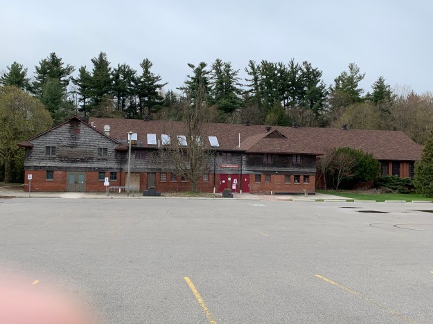
After the clay deposits were exhausted in the 1890’s the brick works closed and the lot was used for a time as a garbage dump for the city of Toronto. In 1904 it was selected to become a new city park and some landscaping was done over the garbage dump. It was named Ramsden Park after a city councilor. In order to check it out I parked in the lot just off of Yonge Street at Pears Avenue. The contours of the park reveal the shape of the former pit where the clay was extracted for the bricks.

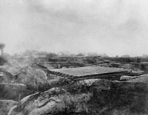
This archive picture was taken in the 1880s and shows the brick hacks where the bricks were stacked to dry before being fired in the kilns. Early maps of the site show the brick hacks to be in the central plateau of the modern park.
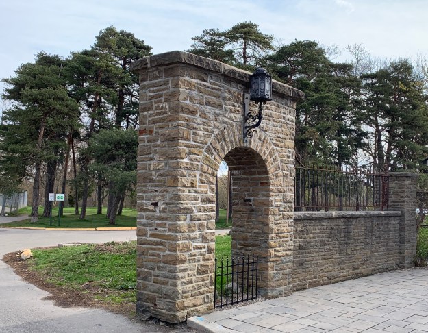
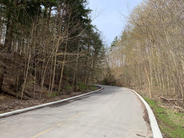
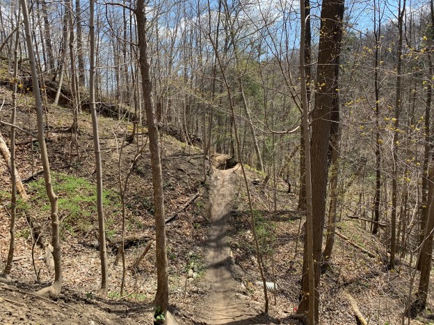
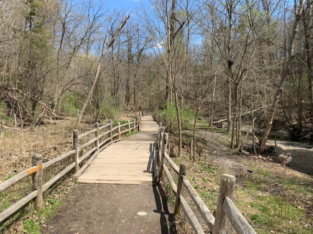
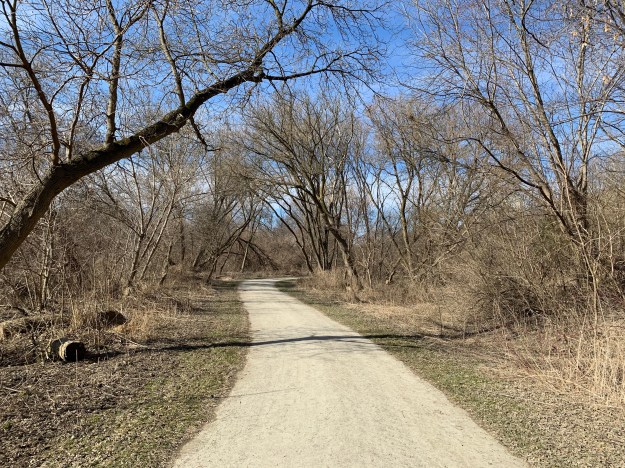
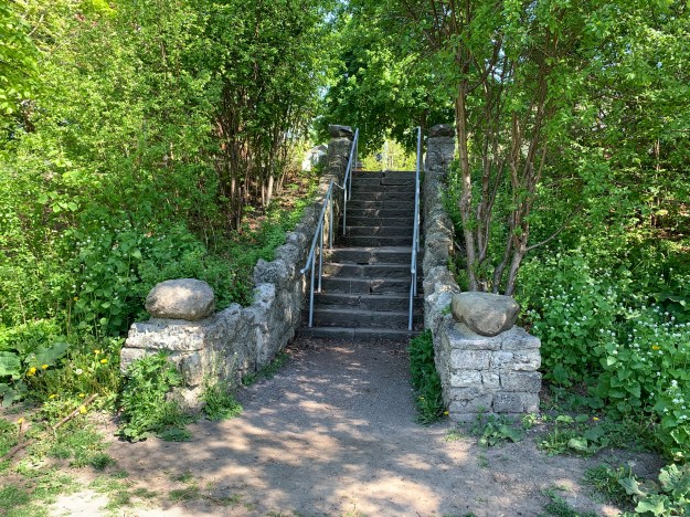
There are multiple places where people can enter the park and they all involve some kind of stairs or sloping pathway.
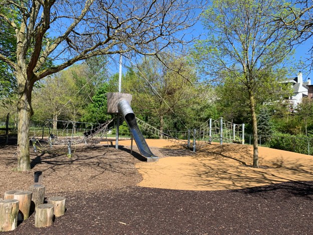
Ramsden Park has been undergoing a revitalization project for the past several years and is currently in it’s third and final phase. The upper plateau has been completed and includes a new off leash dog area. The childrens playground has also been given new pathways, lighting and play structures.
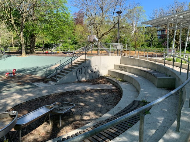
This giant barrel and slide looks like the kids will be able to have a lot of fun when the park amenities open again.
This picture was taken from one of the historical information plaques that have been placed in the park. This one shows the workers stacking bricks inside one of the clamp kilns that were used to fire bricks on the site. The bricks were stacked in a specific pattern and arches were left open along the bottom of the stacks. Fuel would be burned in these arches for a week to fire the bricks.

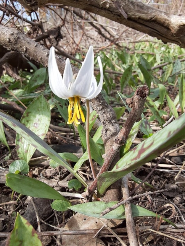
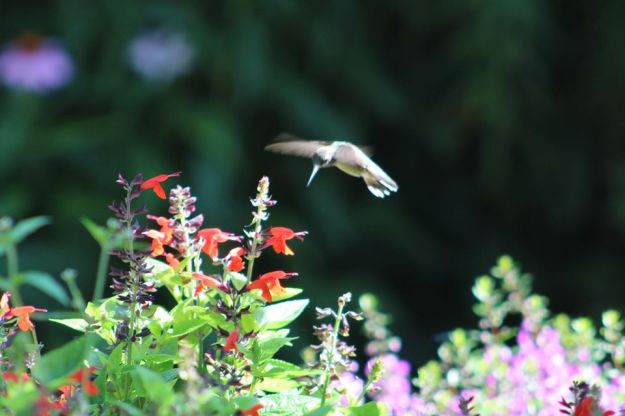
Western Redbud was blooming along the northern side of the park near Gibson Avenue. This shrub has magenta flowers which attract bees and other pollinators, including hummingbirds.

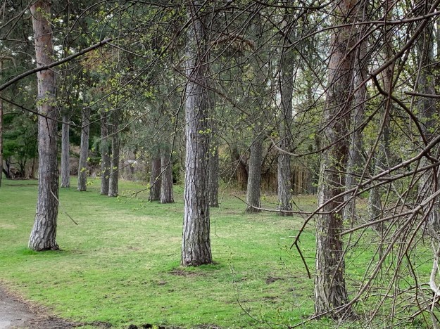
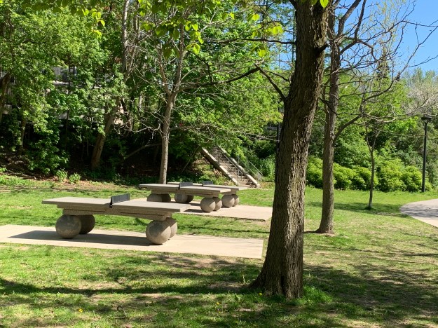
Ramsden Park has very little open space considering the actual size of the park and it has no woodlot because at one time it was an open pit. It has many amenities that fill the space up including a ball diamond, tennis courts, basketball courts, ice rinks and table tennis.
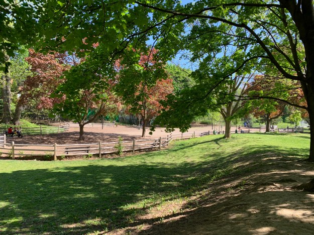
The dog park has been restored and sits where the brick hacks once stood.
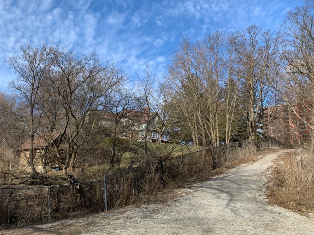
Stage three of the Ramsden Park revitaliztion project is well underway with a set of stairs and a wheelchair accessible ramp being built from Hillsboro Street into the park. This is scheduled to be completed this summer, wrapping up a five year project.

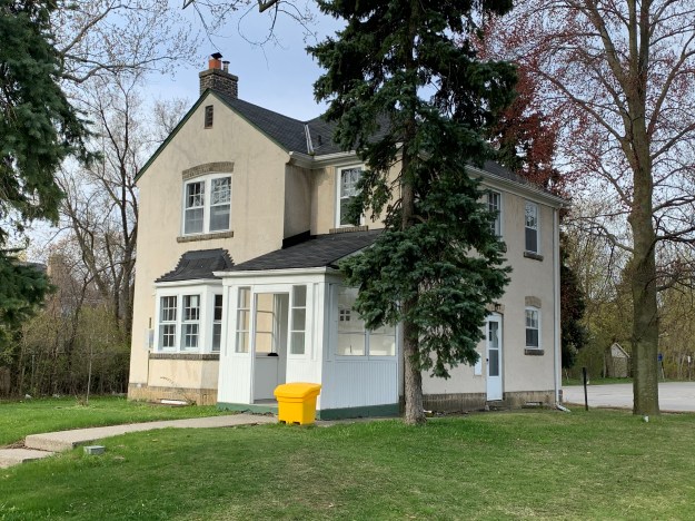
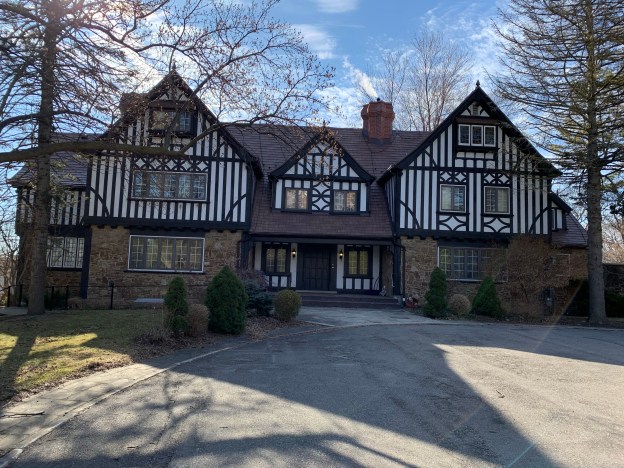
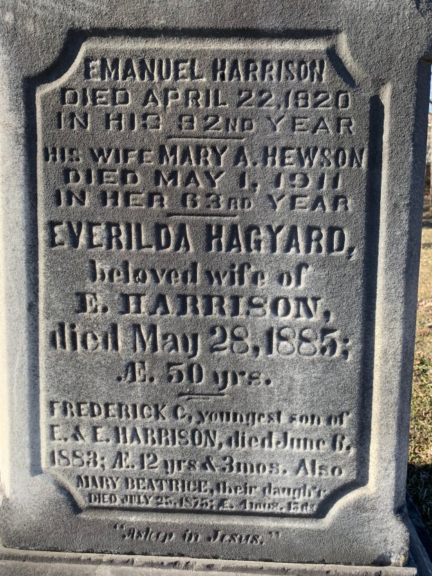
The Sheppard family had the earliest brickyard and the one that lasted the longest before the clay deposit ran out. Various generations of the Sheppard family built homes in the area to house the workers in the brickyards. Belmont Street contains many examples including the set of row houses numbered 4-12 which were built in 1889 by the Sheppards and have heritage designation because of their association with the brickyards.

The row houses above were likely made from the light yellow bricks made on site. Unfortunately, it has been painted but a little farther along Belmont are some examples that still show the colours and patterns of the brick work.

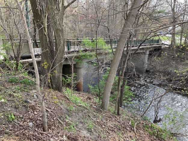
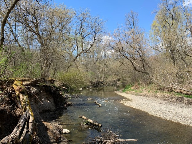
Castle Frank Brook was an idyllic place in the 1800’s before the brick industry and the growth of the city around it caused it to become polluted. Before long the city decided to put the brook into a sewer pipe and bury it underground. The archive photo below shows how nice it used to be when children could go wading in the water.

Ramsden Park is one of the oldest and largest parks in the main part of the city and with the addition of the historic information boards throughout the park it will showcase its history for years to come.
Google Maps Link: Ramsden Park
Like us at http://www.facebook.com/hikingthegta
Follow us at http://www.hikingthegta.com
Look for us on Instagram