Friday, February 16, 2018
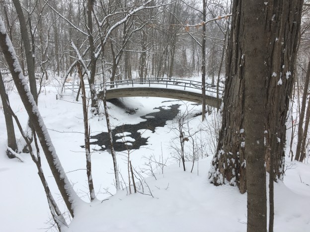
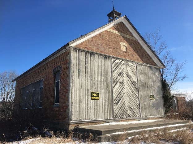
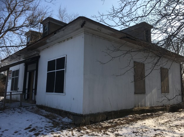
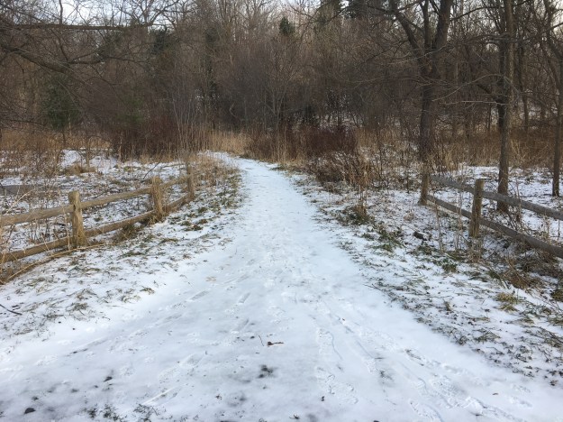
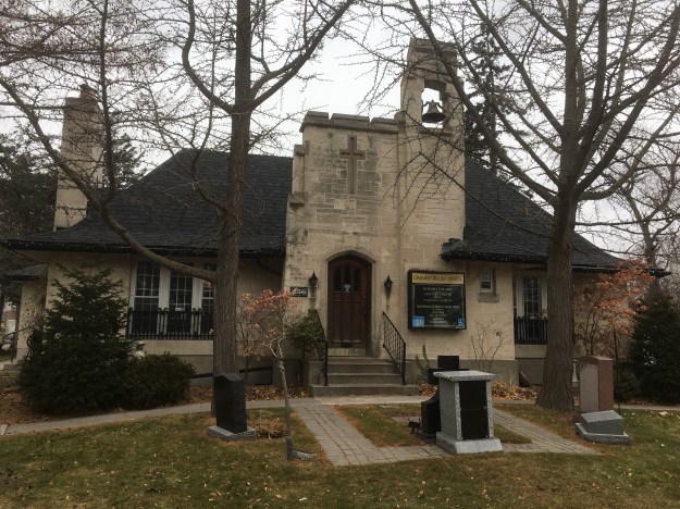
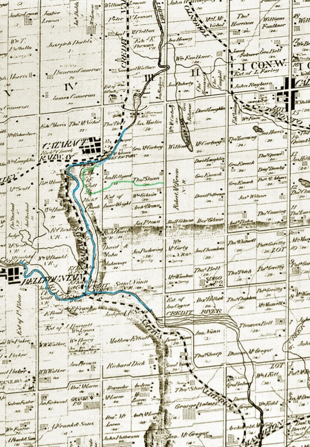
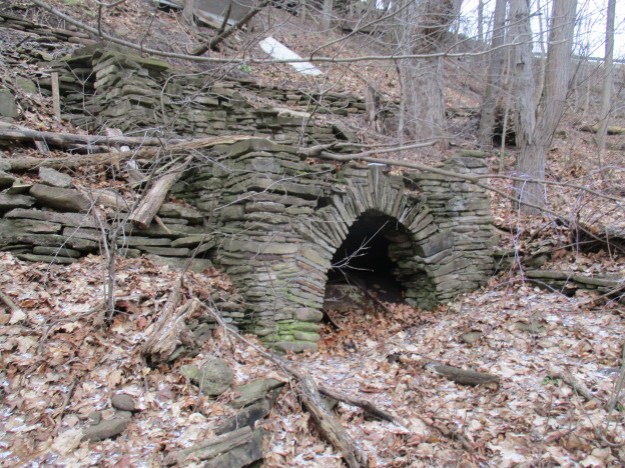
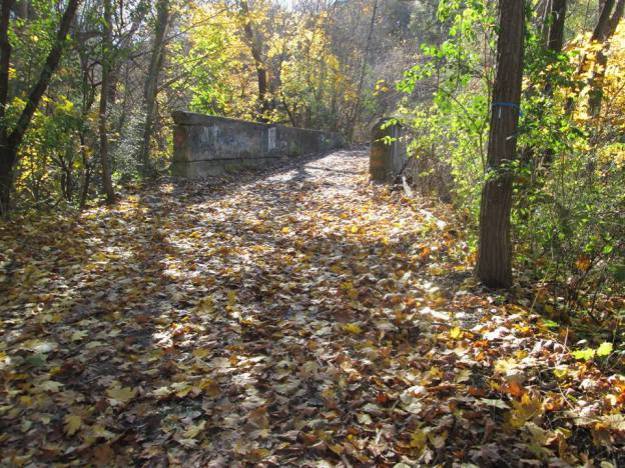
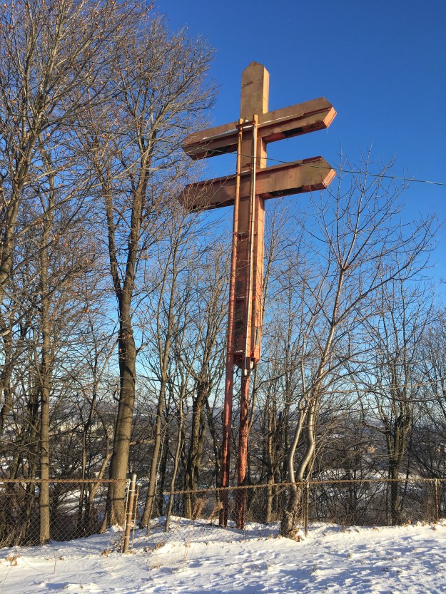
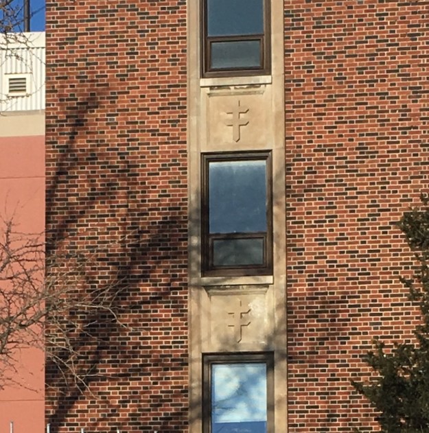
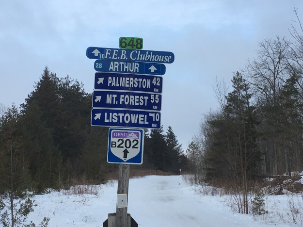
The Grand River Conservation Commission was formed in 1934 and one of their first major projects was the commissioning of the Shand Dam. A vacation day from work was a good excuse for a road trip and I wanted to go and see the dam. Rather than park at the Belwood Conservation area adjacent to the dam I decided to hike for 2 kilometres to the dam. I parked on the Second Line, just west of the conservation area where the old railway line crossed and there are a couple of free parking spots. This is in the former community of Spier, or Spires, where not much remains except for the school house. Forbes Moir had arrived from Scotland in 1858 and bought 250 acres of land and a small settlement was started. It never grew but became a whistle stop on the Credit Valley Railroad when it passed through Moir’s property in 1879. He operated a post office from 1882 until 1913. The school date stone reads School Section No. 1 1872.
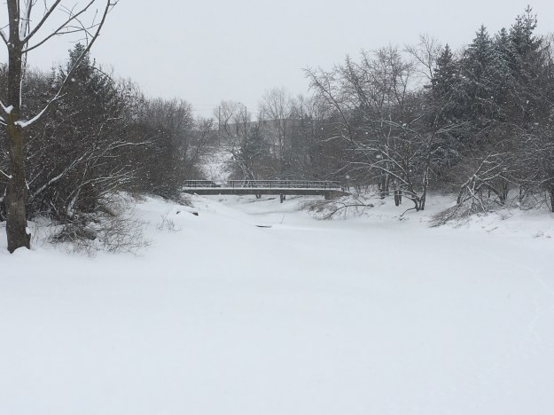
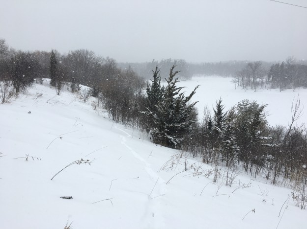
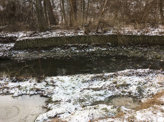
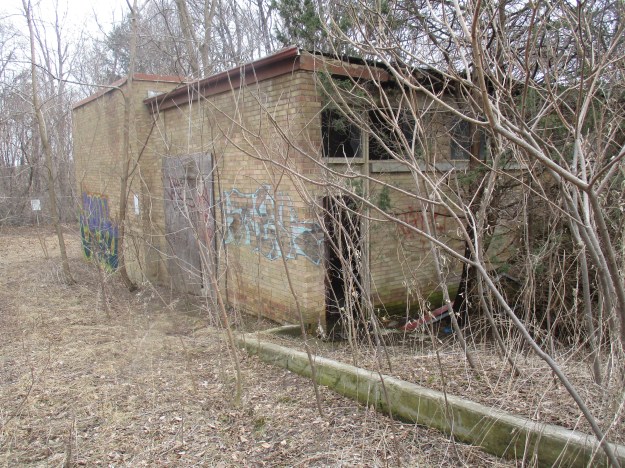
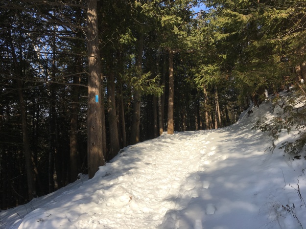
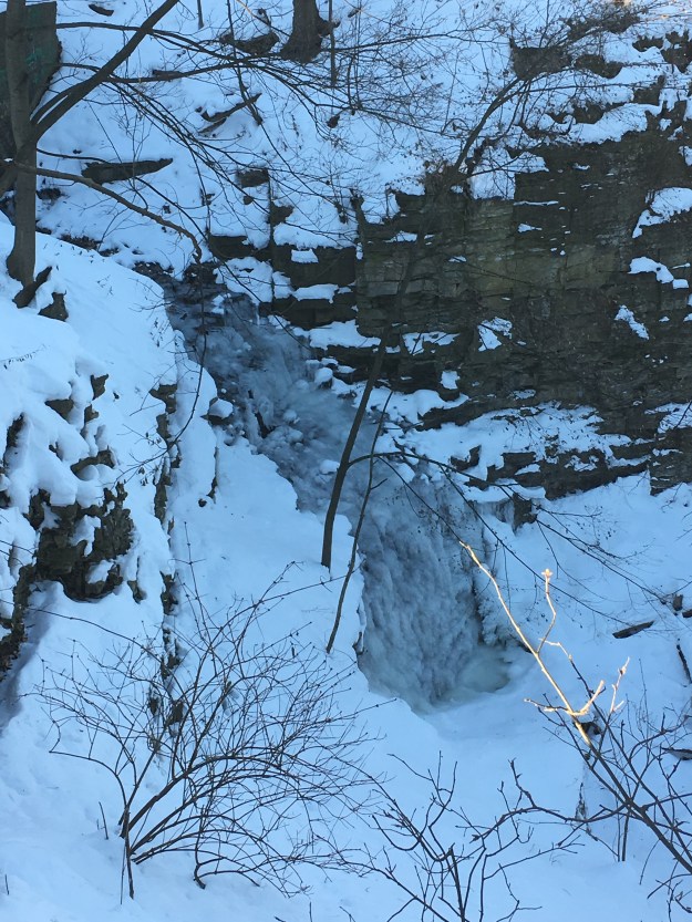
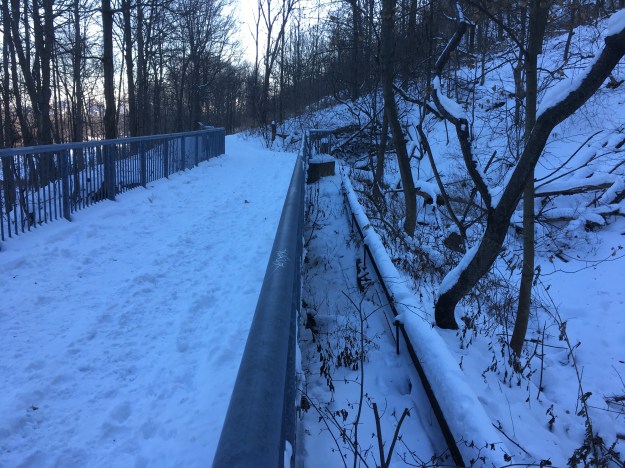
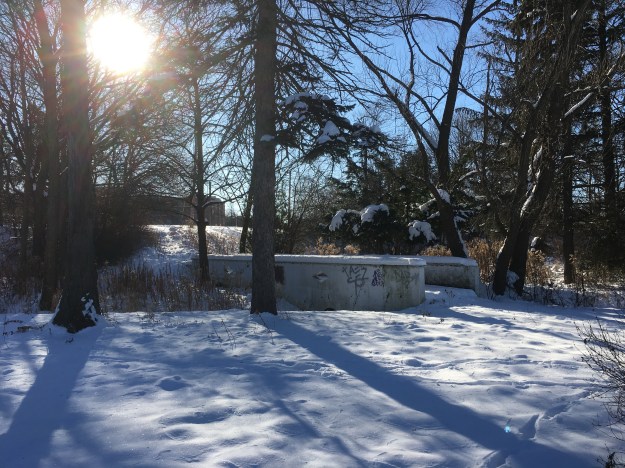
The railway was operated under several names before it was closed by the Canadian Pacific in 1988. It is now a 47-kilometre multi-use trail known as the Elora-Cataract Trailway. I entered the trail near the 8 kilometre marker and quickly saw the remains of an old windmill. A concrete trough stands at the base of the structure where it once contained water for the livestock that grazed in the field. The wheel is missing most of the vanes and it appears that it will soon be on the ground. Steel windmills began appearing in the 1870’s but didn’t gain popularity for another 20 years due to the difficulty the farmer faced in repairing them compared to wooden mills. The ladder is still visible on the tower of this mill and one of the most hated jobs of early windmills was the need to climb the tower to lubricate the mill. By 1912 the self-oiling windmill had been developed and this chore was greatly reduced. This windmill is a reminder that this plot of land was generating energy long before the arrival of the dam.

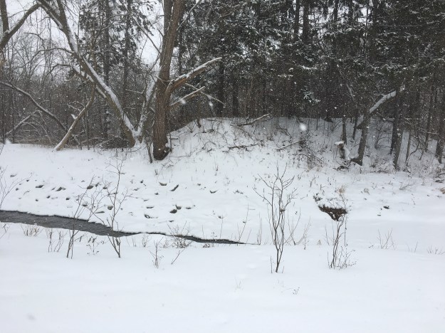
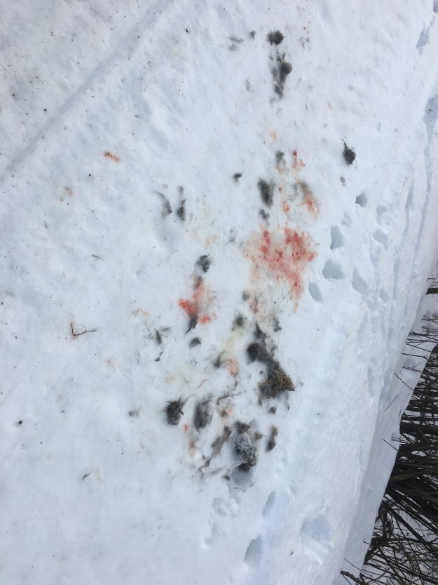
The trail was crossed with several coyote tracks of various sizes. There were several places where there were obvious signs of successful hunting, including this rabbit who didn’t escape becoming a coyote dinner.
Snowmobiles use the trails during the winter months and there is an intersection of a couple of trails. On this day I didn’t encounter anyone, either on a snowmobile or on foot. I expect that the trail is considerably busier in the summer months.
After a two-kilometre hike you will come to the Shand Dam. The dam cost two million dollars and funding was provided in part by the eight municipalities that made up the conservation commission. Brantford, Galt, Fergus, Elora, Paris, Kitchener, Waterloo and
Preston each got work for some of the unemployed in their communities. The federal and provincial governments kicked in the balance in stimulus spending to help ease the effects of the Great Depression that was lingering.
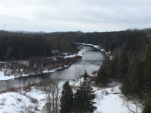
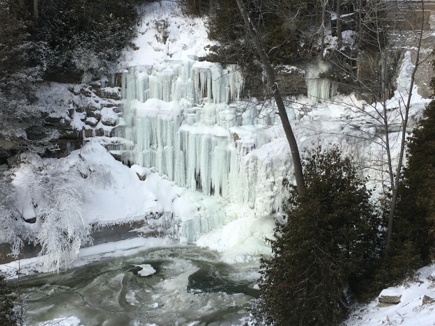
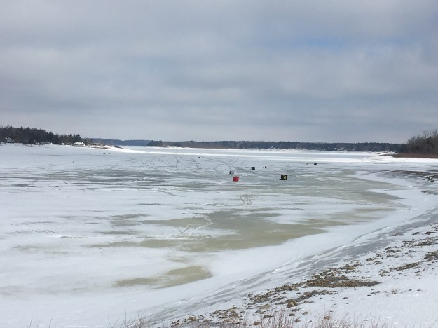
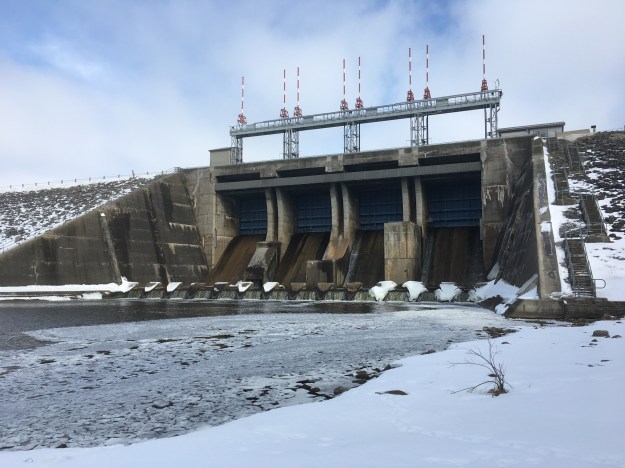
Part of the price of building the dam included the acquisition of 2,000 acres of land that would be flooded by the 12 mile lake that would be formed. This was the first dam that the conservation commission constructed and remains the largest reservoir they control with a capacity of almost 64 million cubic metres of water. It was the first dam built in Canada for the purpose of flood control and the provision of drinking water. Several ice huts can be seen on the lake as people take advantage of the great ice fishing.
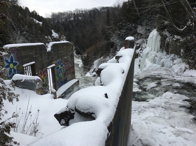
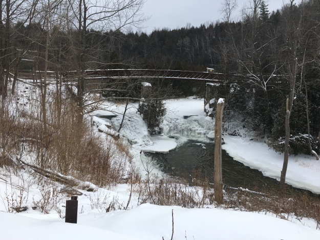
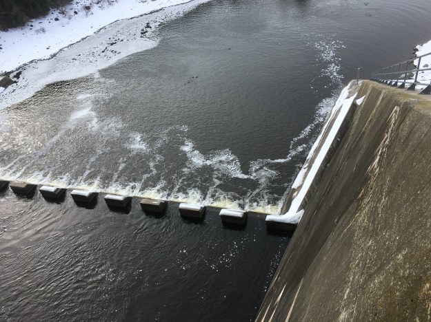
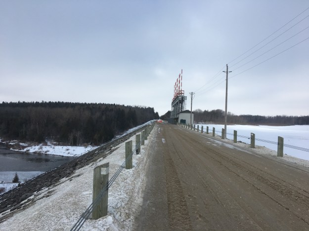
The dam was rushed to completion with the outbreak of the second world war and all Canadian records for construction were broken as the 22.5-metre tall dam was raised throughout 1940. Crews of men lived on-site as record volumes of concrete were poured and tons of earth were moved in a rush of construction activity. The dams steel gates were installed in January 1942 bringing construction nearly to a completion. The CPR had been diverted while the dam was being built and the first train to cross the dam was on March 9, 1942. The official opening took place on August 7th with 3,500 people in attendance for the ceremony. The dam was originally called The Grand Valley Dam but tourists looking for the dam and park often ended up in the town of Grand Valley, some 18 kilometres upstream. As a result, the dam was soon renamed after a local pioneer family named Shand whose land was consumed under the new reservoir. This picture looks over the side of the dam to the dissipation weir at the bottom.
One hundred and twenty stairs lead from the top of the dam to the bottom. This dam proved its value when Hurricane Hazel hit Ontario in 1954 and killed 81 people in the GTA. No lives were lost in the Grand River watershed.
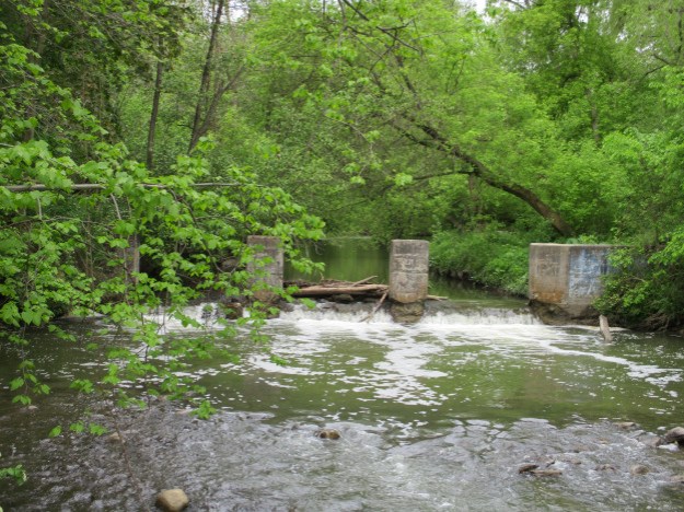
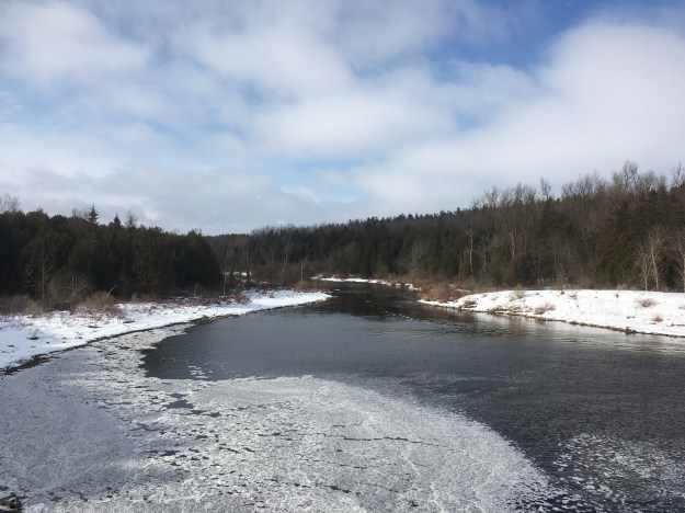
Water levels in the river used to fluctuate from raging highs during spring melting to summer lows when the water was little more than a polluted stream. Today, the water level below the dam is maintained at a safe and constant level.
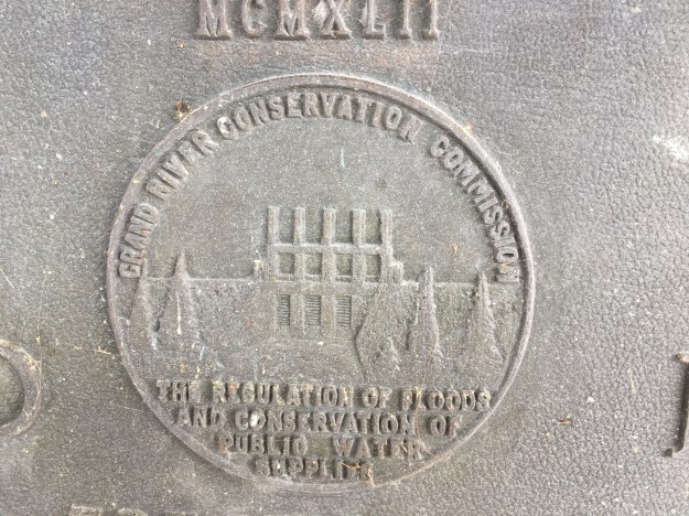
The Roman numerals for 1942 adorn the old conservation commission crest on the control room of the dam.
Seen from the south, the difference in elevation of the water in the dam is obvious.
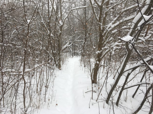
The Elora-Cataract Trailway also serves as part of the Trans-Canada Trail which spans the country and runs to 24,000 kilometres. The longest connected series of recreational trails in the world.

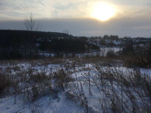
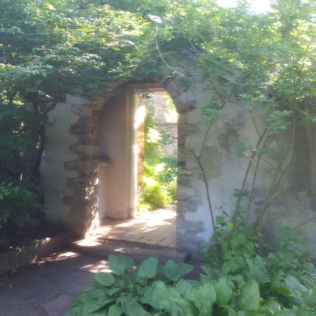
Belwood Lake Conservation Area looks like a place to check out again in the summer months.
Google Maps Link: The Shand Dam
Like us at http://www.facebook.com/hikingthegta
Follow us at http://www.hikingthegta.com