Friday, May 8, 2020
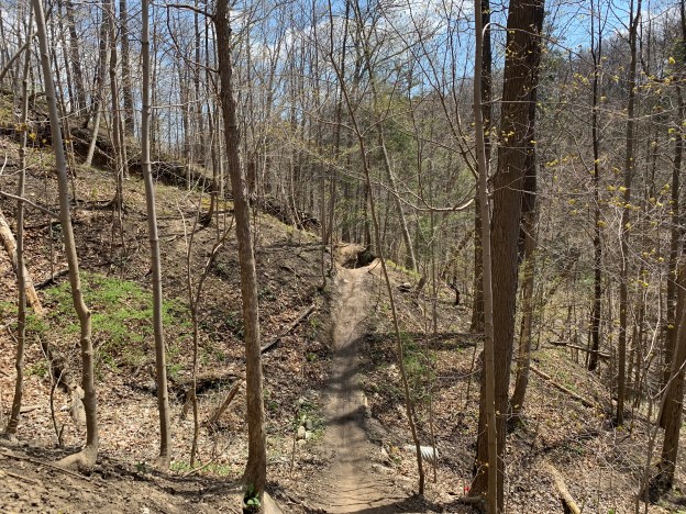
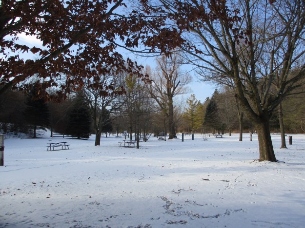
A century ago the property that is home to Sunnybrook Hospital and Sunnybrook Park was a working farm and country estate for one of Toronto’s wealthy elite. Joseph Kilgour was partners in the Canada Paper Company and made his fortune from flat-bottomed paper bags like the grocery bags some of us remember from our childhood. With the COVID-19 lockdown still underway I went for another walk through the park with an eye to locating the remnants of his legacy.
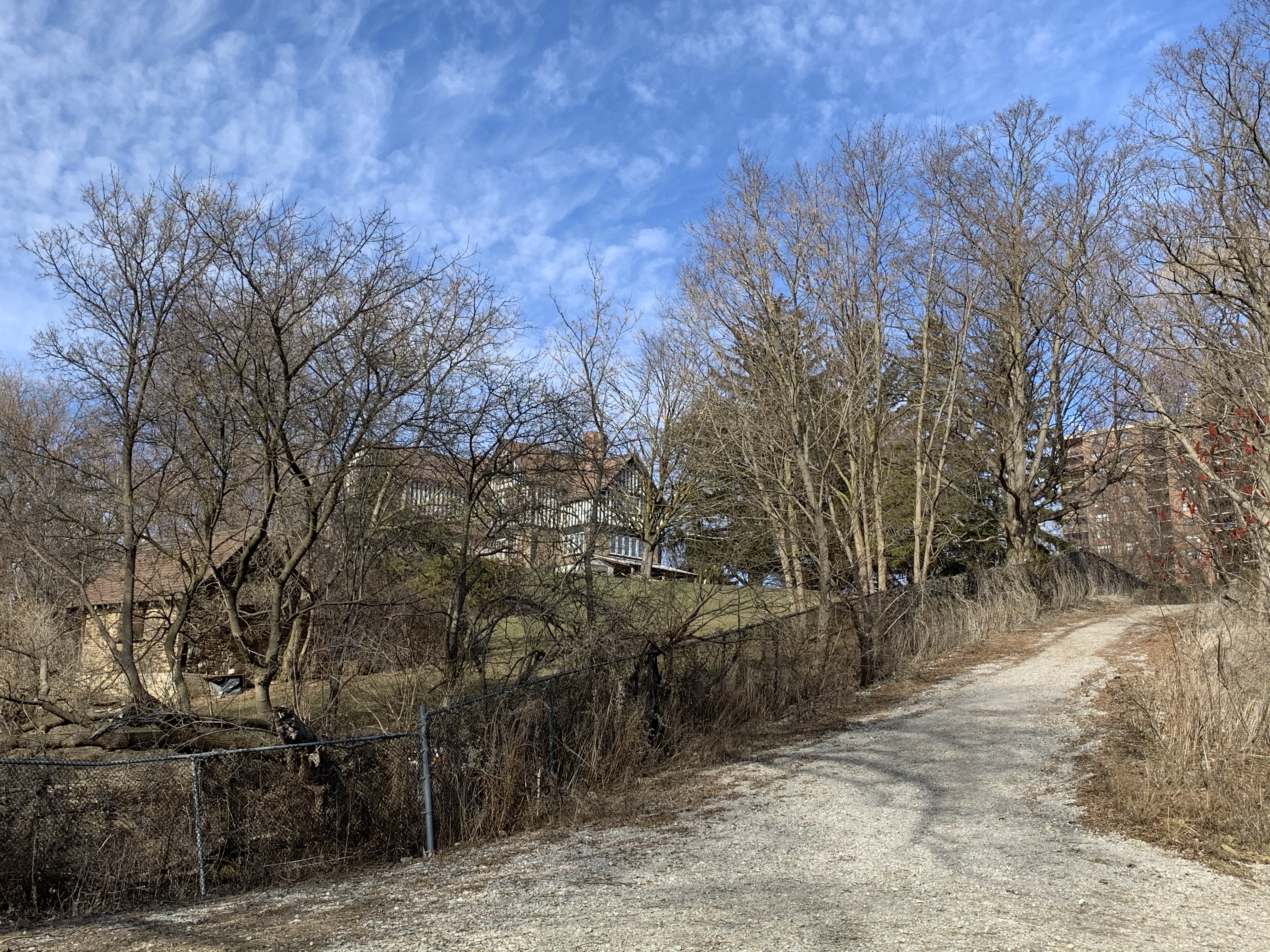
Joseph purchased several parcels of land to comprise the farm and estate he intended to create. He added to the buildings on the old Burke farm to create Sunnybrook Farm where he raised horses and cattle. Then he went to the top of the Burke Brook ravine and built a grand country estate that he named York Lodge. At that time there were less trees and Kilgour had a grand view across the valley and his farm. The picture below was captured from the City of Toronto archives collection of photos, this one was taken in 1964. I’ve marked the roadways on the old estate in green and the waterways in blue. I entered the ravine from Bayview avenue and followed the trail along the top of the ravine on the south side of the brook and made my way toward the original gates to the property.
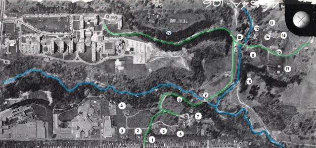
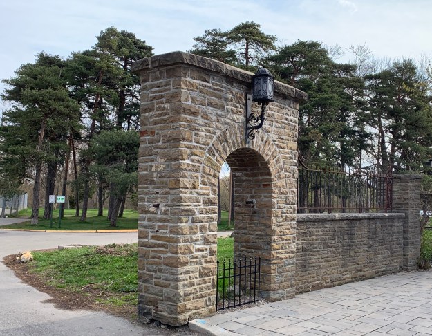
There were originally two sets of gates, one on Bayview directly across from the end of Blythwood Avenue. This set led directly to Sunnybrook Farm and was removed when the hospital was built in the mid-1940s. The second set can be found at the end of Sutherland Drive and it led directly to York Lodge. The pair of stone gates feature ornate wrought iron lamp posts which must have looked quite spectacular to guests arriving for an afternoon fox hunt or social gathering.
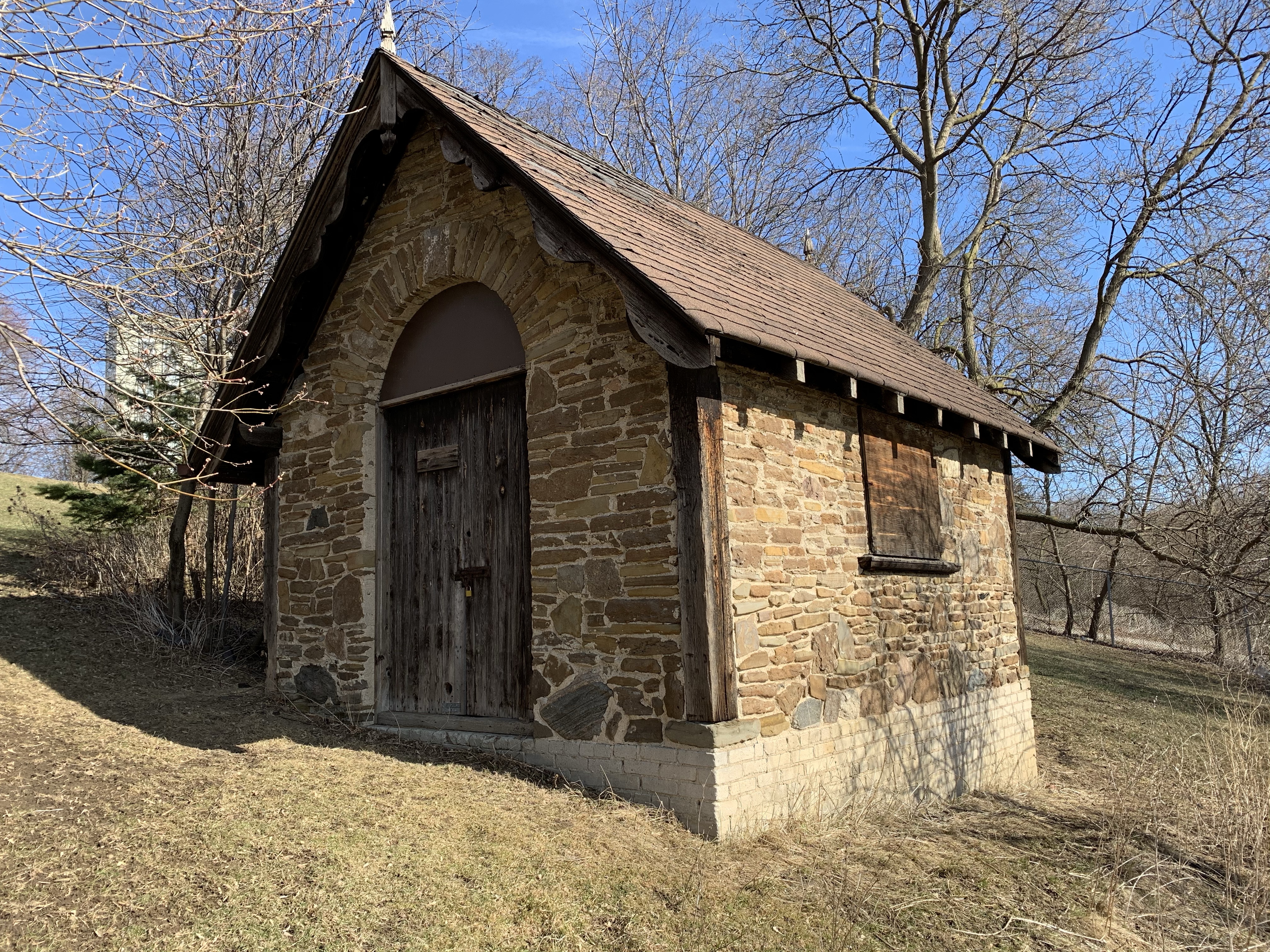
The only remaining building from the York Lodge estate is the gatehouse. It stands just inside the gates and is identified as number two on the map. Along with the gates, it was listed on the Toronto Heritage Register in 2005.
There were four summer cottages on the estate but they have all been demolished. The picture below is from the Toronto Archives and shows one of them. They’re marked 3-6 on the map above.

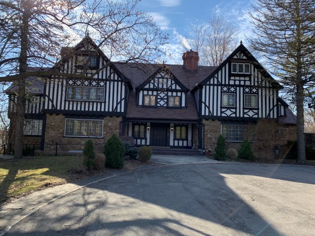
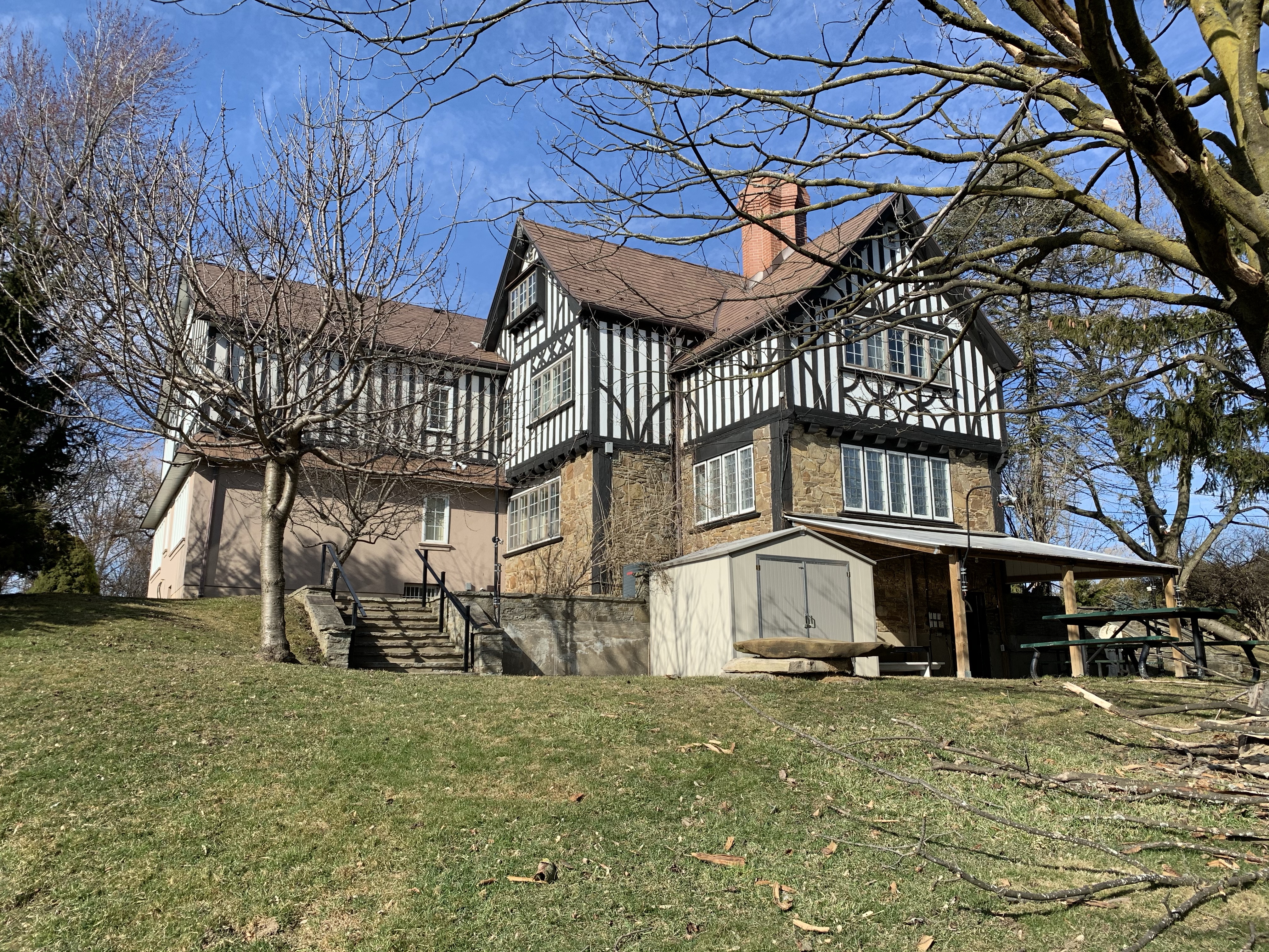
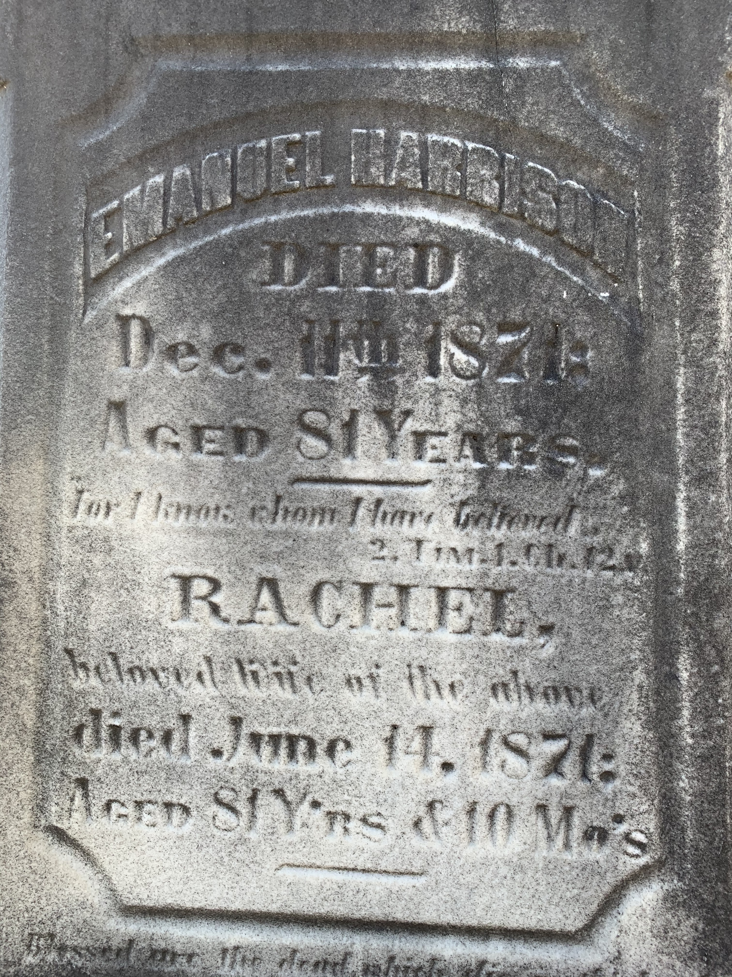
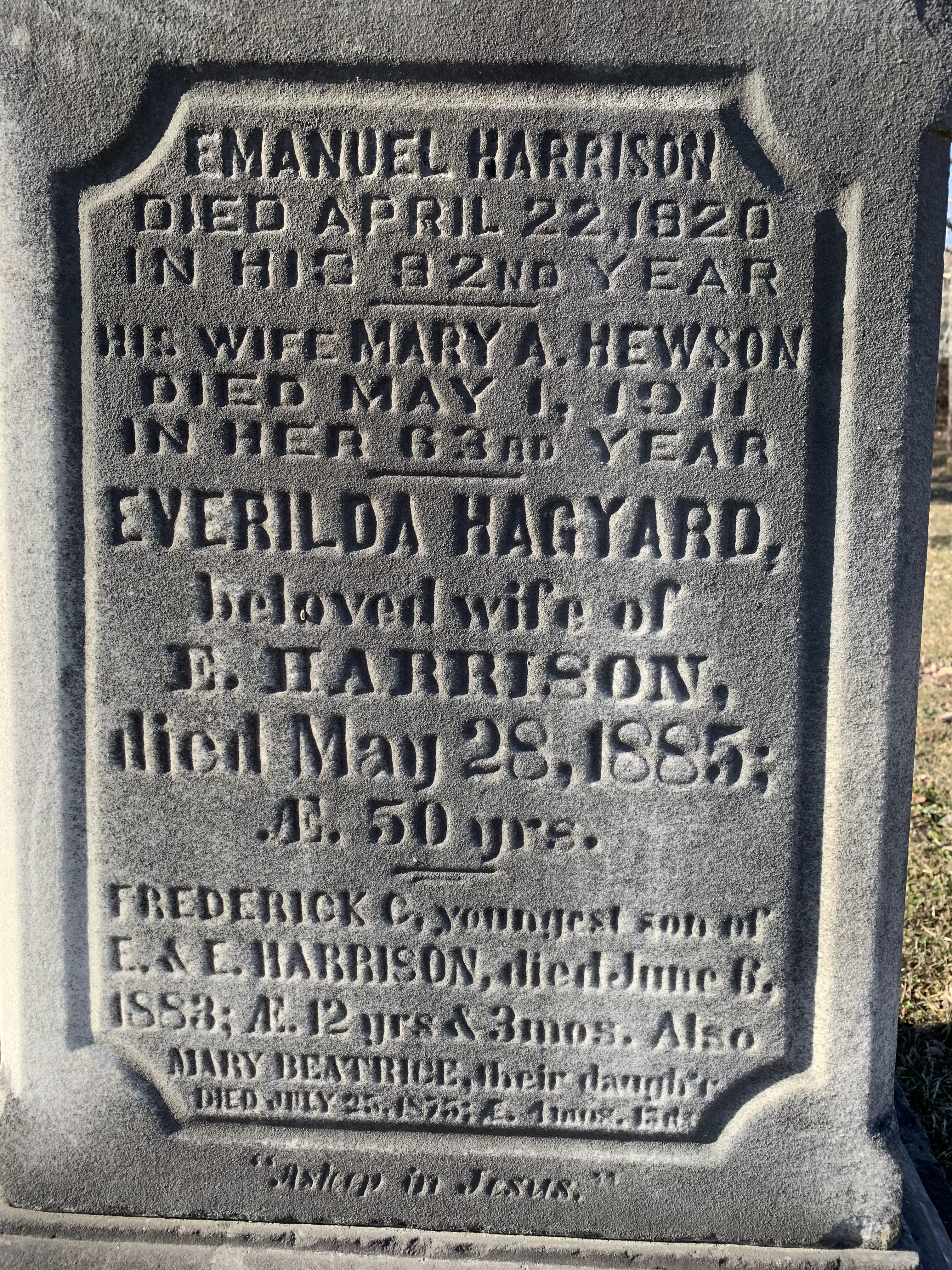
When Alice donated the property to the city she kept ownership of York Lodge and continued to live there until 1930. She sold it to another prominent Toronto business man named David Dunkelman. He was the president of Tip Top Taylors. Dunkelman only kept it for 6 years before selling it to Captain James Flanigan. In 1943 Flanigan converted it into a military hospital renaming it Divadale after his daughter Diva. In 1953 it was converted into a convalescent home for veterans but was demolished around 1980. This archive photo is credited to John Chuckman and gives us a look at the outside of York Lodge after the name was changed. It is marked as number 7 on our map.

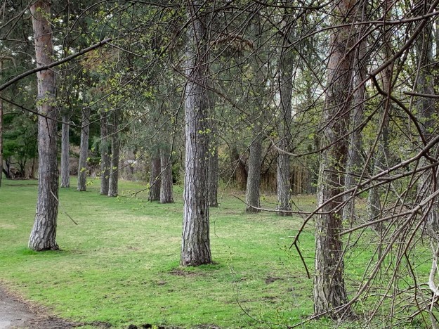
Lydhurst Hospital was constructed on the property in 1978 but some of the roadways and landscaping can still be found as well as rows of mature trees planted in straight lines.
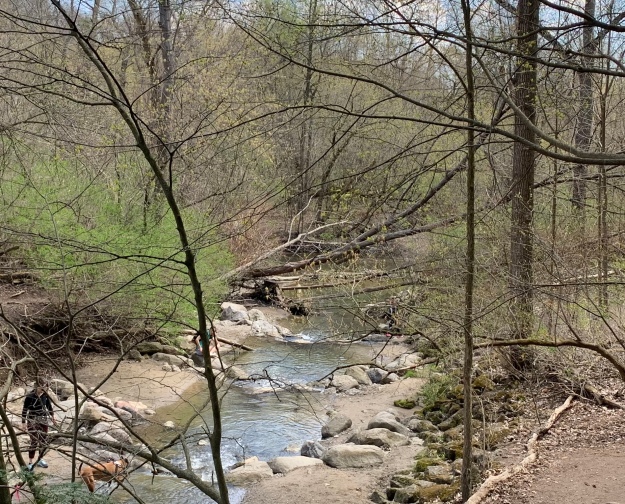
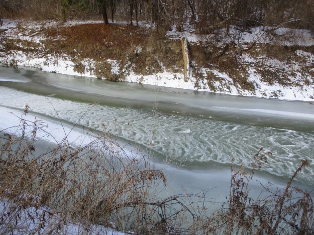
The lane way is shown as number 8 on the old photo above. It led down the hill from York Lodge to Sunnybrook Farm and connected with the other lane way off of Bayview Avenue. At the bottom of the hill the lane crossed Burke Brook at the point just before the brook enters into the Don River. Burke Brook takes its name from Edward Burke who owned the 200 acre farm in 1860.

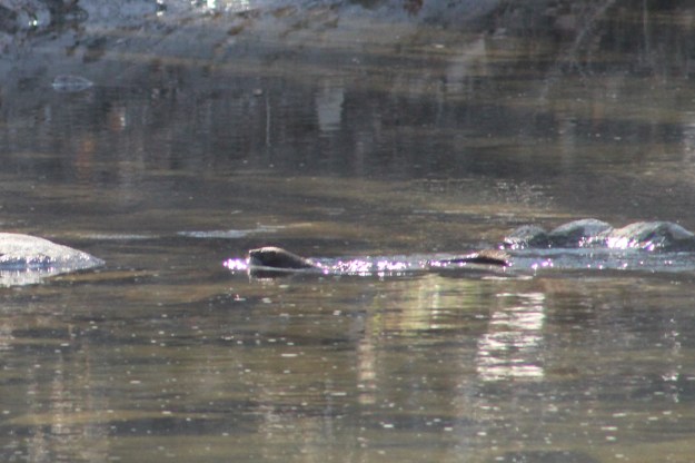
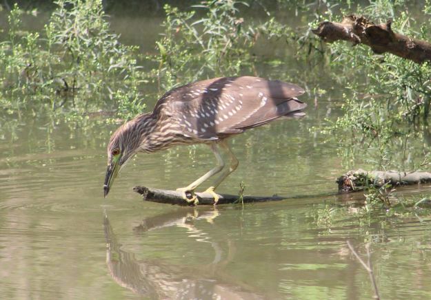
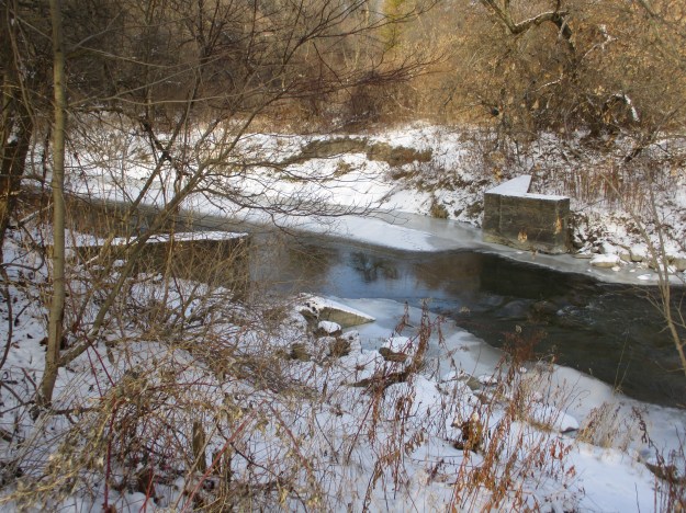
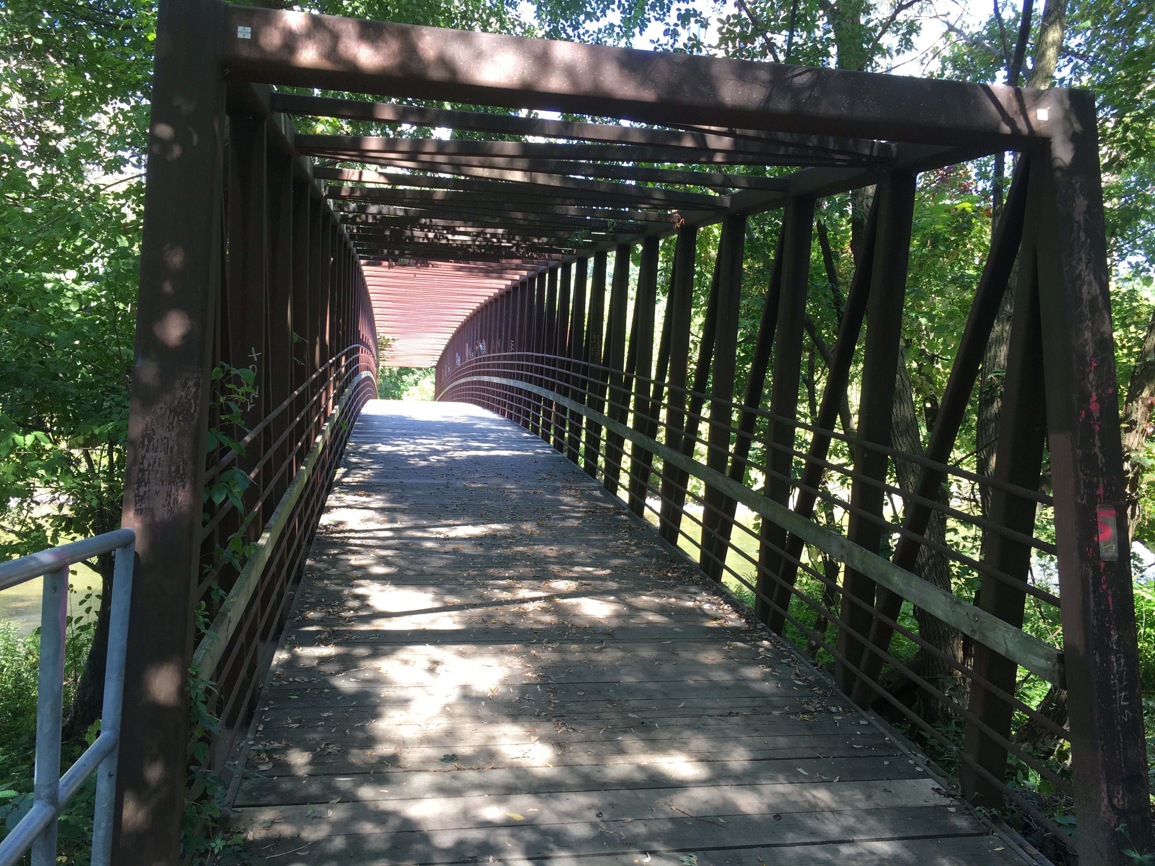
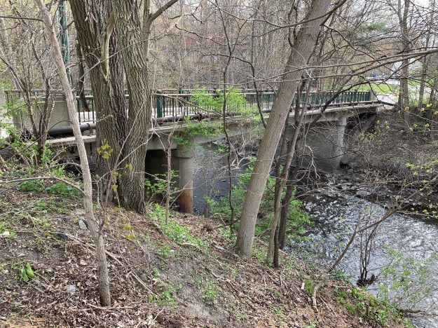
The Burke Brook bridge is architecturally interesting because of the wings on either side of the abutments. When the water level is just right you can see a small waterfall through the centre of the bridge. The off-leash dog park can be seen in the background. It seems strange now that there are no dogs playing and chasing each other in the park. This bridge is number 9 on the map above. Near this bridge is a circular well or pumping station that we featured in last weeks companion post Staying Close To Home.

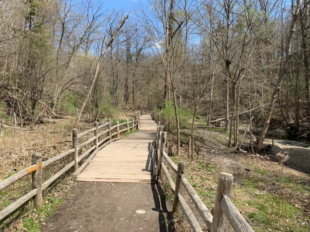
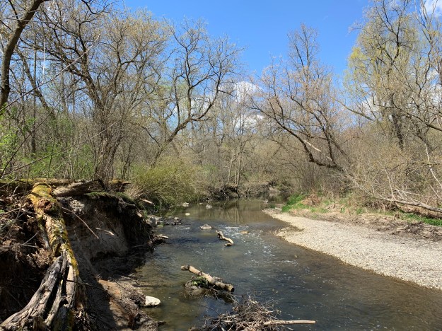
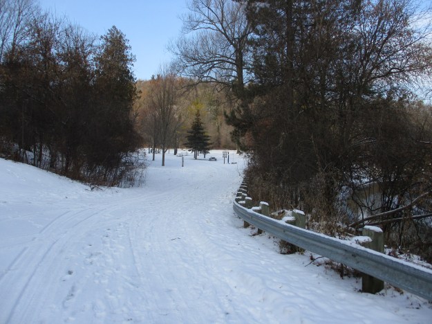
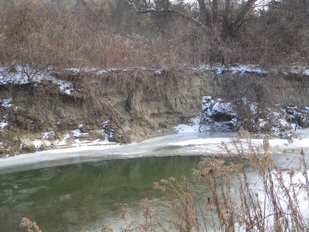
The bridge over the Don River is more typical of one used by regular traffic. This bridge was closed to vehicles when the farm was donated to the city as a park and is number 10 on the map. Alice Kilgour decreed that the park should remain free of charge for the citizens to use and that no road should be allowed to pass from Bayview through to Leslie Street.
The 1964 photo above shows a building identified as number 11. This structure no longer exists but number 12 still stands, tucked in overlooking the river and bridge. These homes were built for the use of various farm and estate workers.
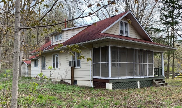
The house identified as 13 on the map was tucked in behind the horse barn and is another of the farm worker homes that were deeded to the city along with the land.
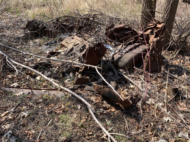
A very ornate barn with two silos is shown as number 14 on the map. Unfortunately it was destroyed in a fire on May 21, 2018 killing 16 horses that were housed inside. Another 13 horses were moved to another barn and were saved. This barn was home to the Toronto Police horses for many years until they were relocated to the CNE grounds. The picture below was taken from our Sunnybrook Park post.

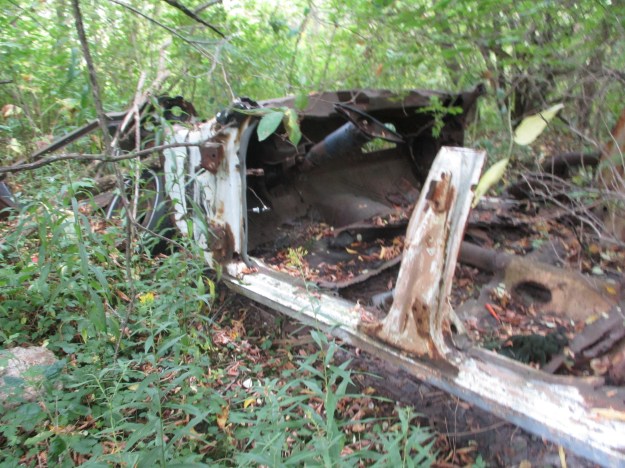
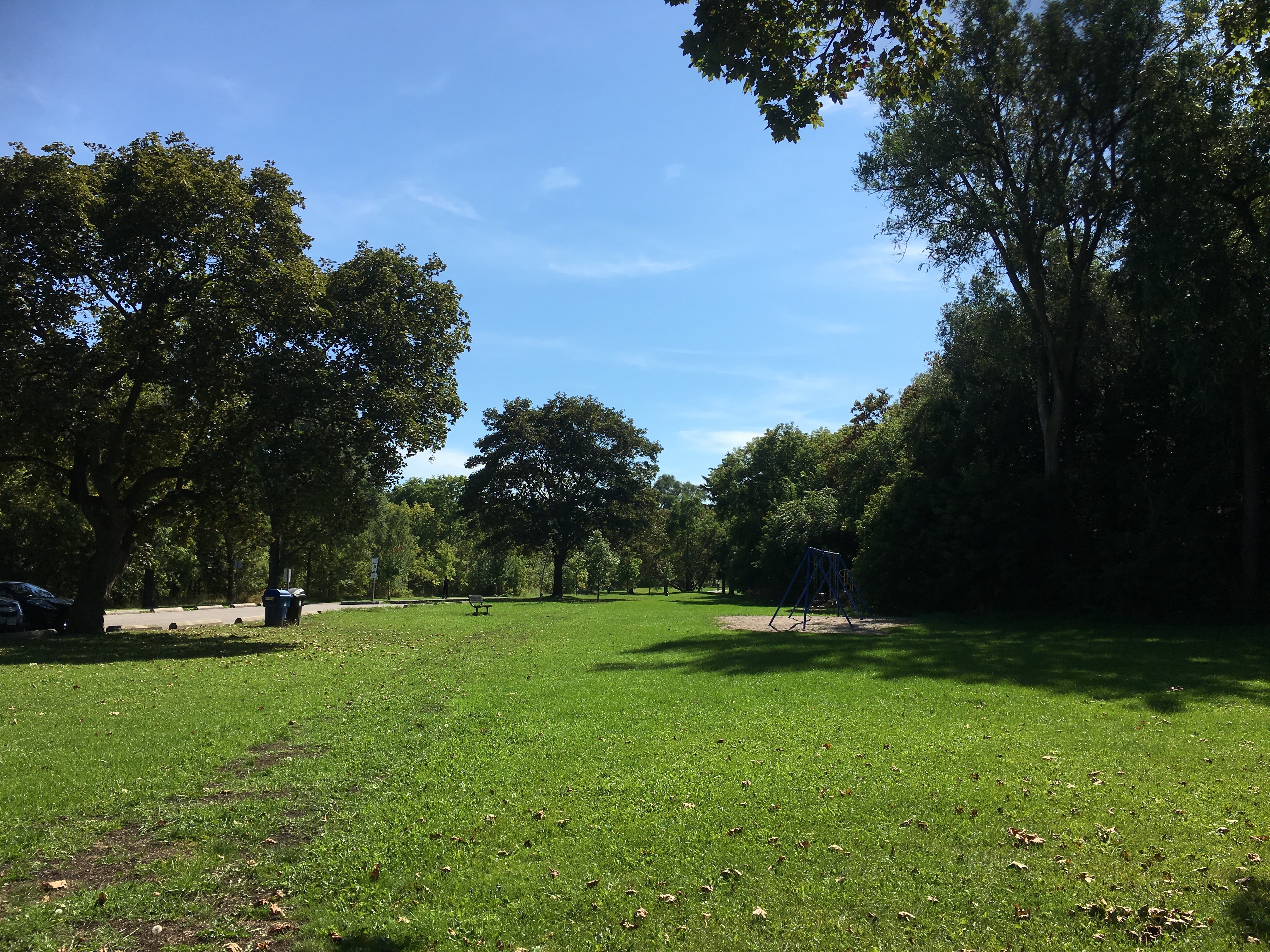
This picture was taken from the space where the barn formerly stood, now a vacant field with no trace of the barn or silo. The outer fence for the horse paddock can be seen in the photo above as well as in the distance below. Across the way is a second barn from Sunnybrook Farms where the cows and other farm animals were kept. Horses that were rescued from the fire were moved over to this barn, labelled as 15 above.

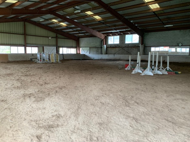
Kilgour erected one of the first indoor riding riding arenas in Canada which is shown as item 16.
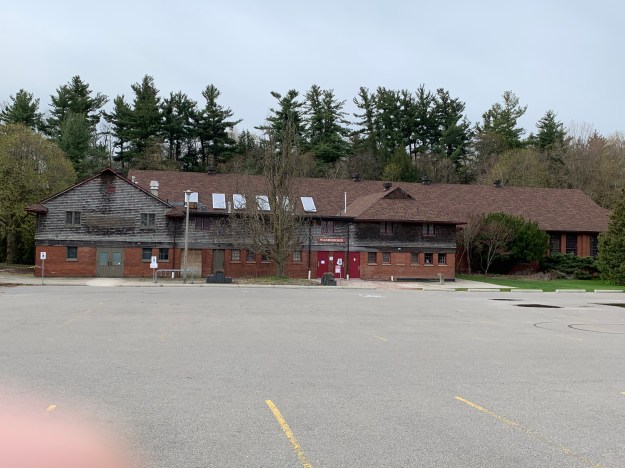
One other building in the compound, number 17, currently houses washrooms and has an equipment shed in the one end.
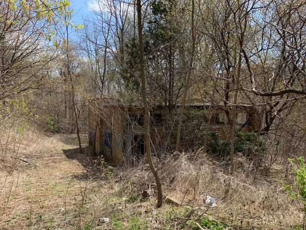
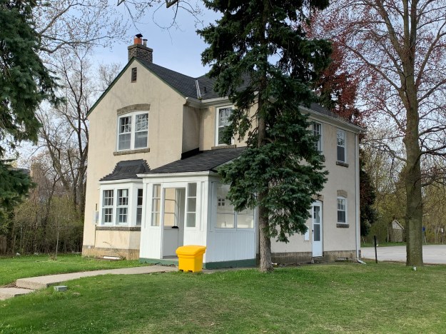
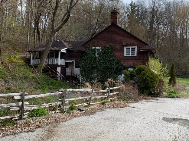
Building number 18 caught my attention because it looks like an older style of farm house. This house is not listed on the heritage register but I wonder if it may have been erected by the Burke family before Joseph Kilgour bought their homestead farm to create his dream estate. I had planned to walk right up and get a better view but the sign on the tree gave me reason to reevaluate that plan.

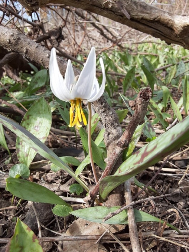
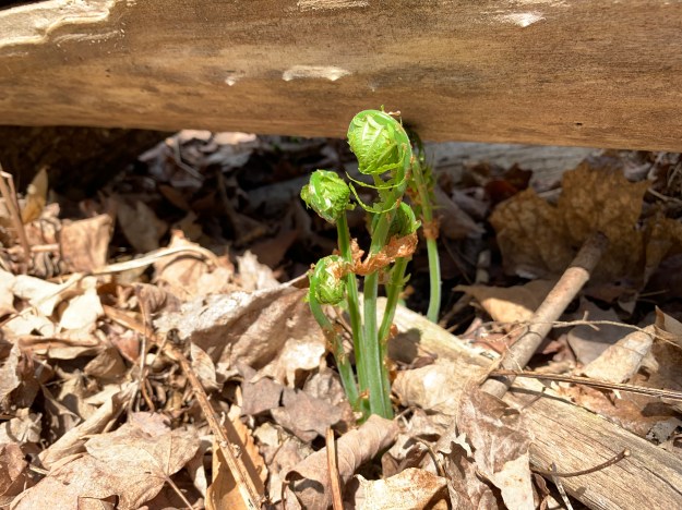
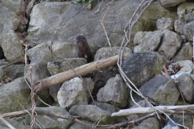
On the valley floor near the Don River is a large patch of Mayapples. The plants with two leaves are the only ones that will produce buds and that appears to be the case for most of these plants. The bud pictured below will open into a single flower that will later produce the lone fruit on this plant.

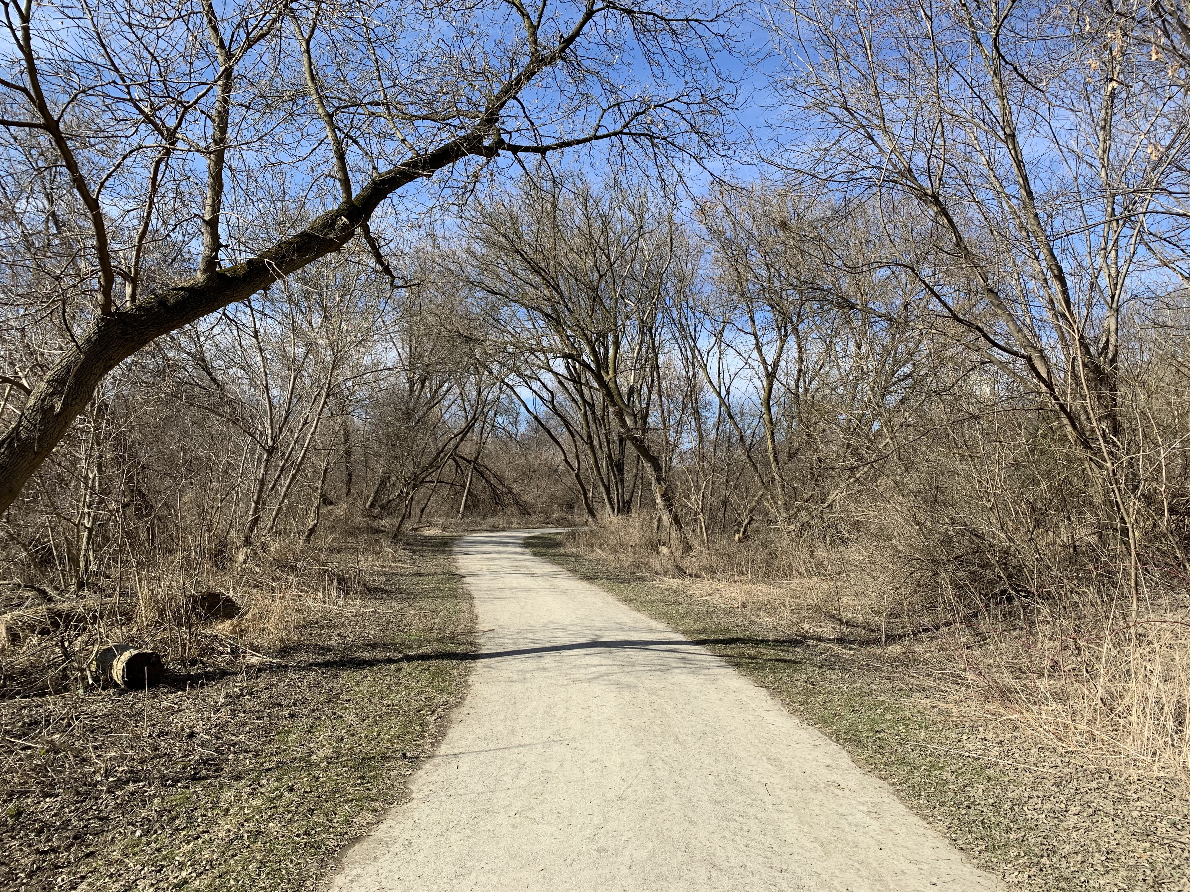
The lane way back to Bayview is marked as 19 on the map and now leads to the rear of Sunnybrook Hospital. To the north of the hospital are three other country estates that were built by the wealthy so they could escape the city. The stories and pictures of these former estates can found in our previous post entitled Bayview Estates.
Although it has been nearly a century since the property was given over to the city a surprising number of artifacts remain from the days of Joseph and Alice Kilgour.
Google Maps Link: Sunnybrook Hospital and Park
Like us at http://www.facebook.com/hikingthegta
Follow us at http://www.hikingthegta.com
Also look for us on Instagram