Author Archives: hikingthegta

Prospect Cemetery

Sunday, January 12, 2020

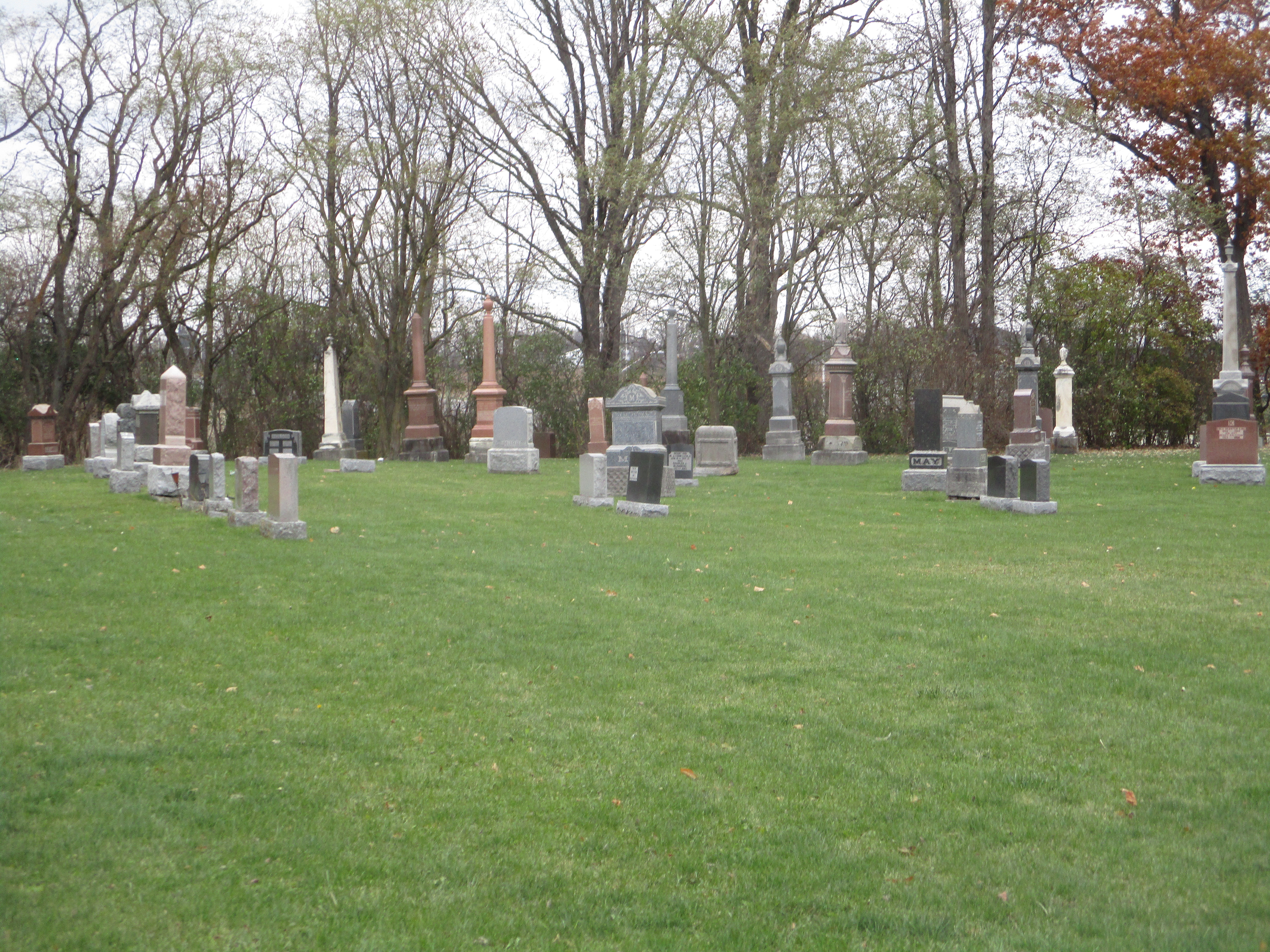
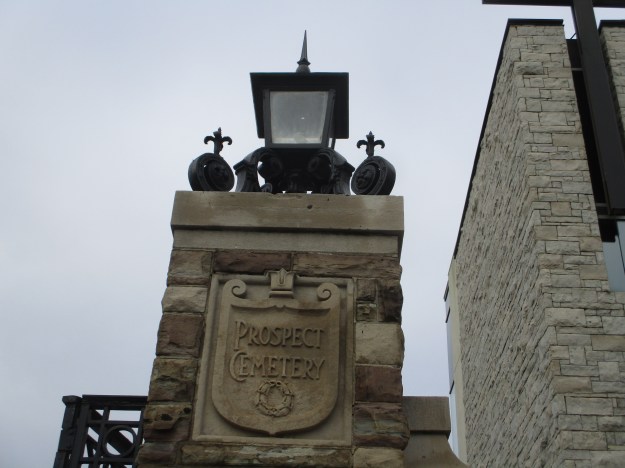
With the rapid expansion of the city during the 19th century there was a need for additional cemetery grounds.  In 1887 the city purchased 100 acres of land from William Shields for this purpose.  The plans were laid out to allow maximum views which originally included Lake Ontario and the Humber River Valley.  Two ravines passed through the plot of land leading to it being named Prospect Cemetery.
IMG_8843

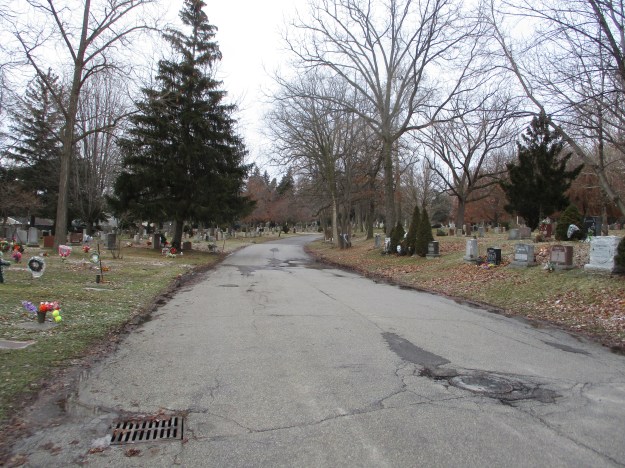
Over 170,000 people have been buried in Prospect Cemetery since it opened in 1890.
IMG_8844

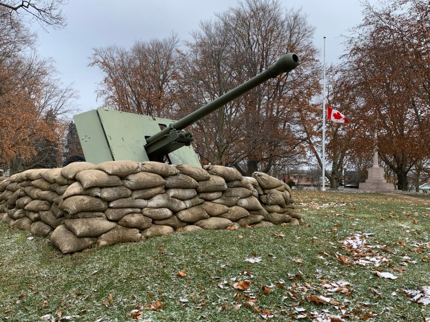
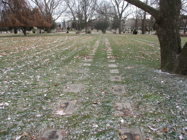
Many local veterans of the First World War returned home with injuries that would soon claim their lives.  The first few were buried in various cemeteries around the city.  The Great War Veterans Association and The Toronto General Burying Grounds selected a 5 acre oval section near the St. Clair Avenue entrance to the cemetery as the site of a dedicated veterans section.  Capt. James Henderson of the Royal Army Medical Corps served in Mesopotamia and returned home on leave suffering a cold that turned into pneumonia which killed him on July 16, 1917.  He became the first interment in the cemetery having lived 39 years.  He is buried near the Cross of Sacrifice which is the centre piece of the plot.  It can be seen in the background of the cover shot.  Today there are over 3,500 veterans buried in the cemetery, many of them in neat rows in the veterans plot.
IMG_8857

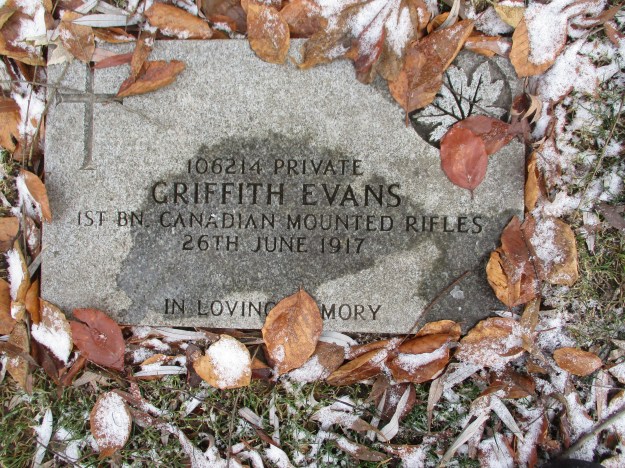
Private Griffith Evans served in Europe and returned home in the summer of 1917 suffering from fatal battle wounds.  He passed away a month before the first burial in the veterans plot and was relocated here in honour of his service.
IMG_8858

Lance Corporal Thomas Wilson came home from the war and died on October 2, 1918.  He perished a month too soon to learn that his service was part of the victory that came on November 11, 1918.

IMG_8860

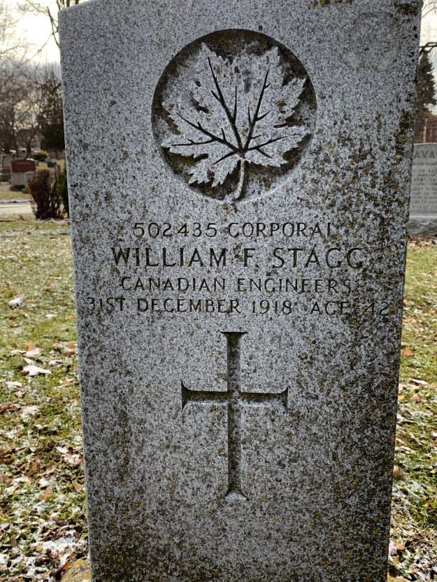
There are many soldiers buried in the cemetery in places outside of the veterans plot.  Some of them are in graves with markers that bear no mention of their service.  Others have been commemorated with a standard design maker like the one issued to Corporal William Fraser Stagg who died on the final day of 1918.  His service record indicates that the cause of death was unknown.  The Canadian Great War Project is a searchable database that contains information on the men and women who served their country during World War 1.
IMG_0127

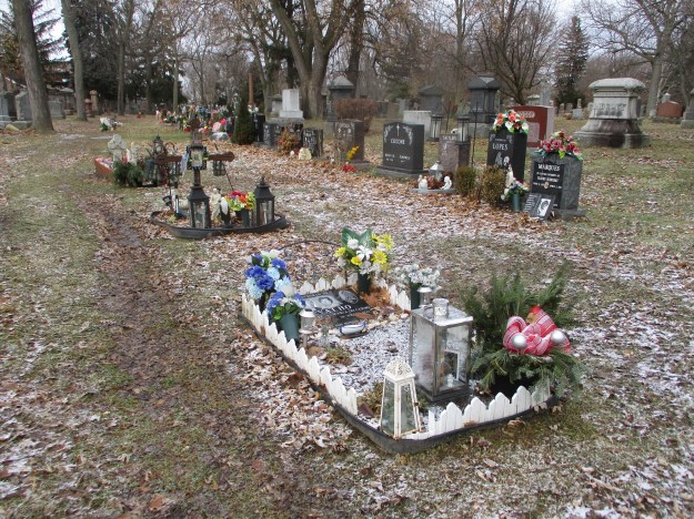
Some parts of the cemetery have particularly colourful displays that people have set up to commemorate their loved ones.
IMG_8861

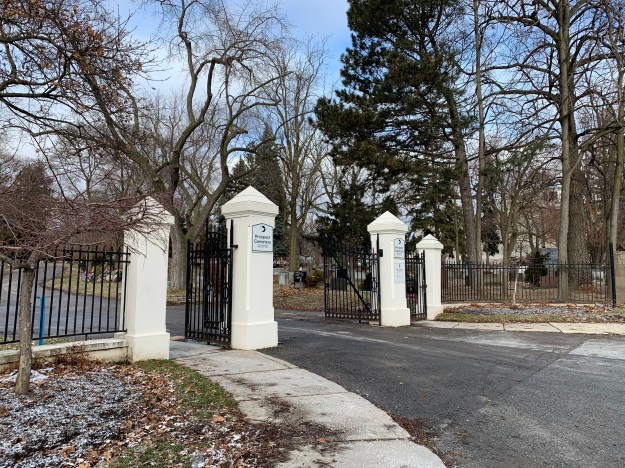
Prospect Cemetery is the full 105 acre lot that ran between Eglinton Avenue and St. Clair Avenue.  It is split in a couple of places by through streets, including Rogers Road where this set of gates is found.
IMG_0126

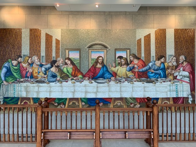
Inside the St. Clair Avenue gates the cemetery has built a large mausoleum known as the Mausoleum of the Last Supper.  Along with white marble-fronted crypts the mausoleum features several beautiful statues including one of The Risen Christ.  There’s also a full wall dedicated to The Last Supper by Leonardo da Vinci.  The original painting covers an entire wall in the dining hall of a monastery in Milan.
IMG_0112

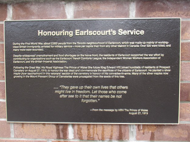
The cemetery was chosen for the veterans interment in part because the local community had made a large contribution to the war effort.  During the course of the war around 2,500 people from the neighbourhood of Earlscourt enlisted in the military.  This made them the highest per capita district in Canada and 320 of them lost their lives in the conflict.  To commemorate the 100th anniversary of the war the cemetery installed a series of 9 plaques that describe Canada’s role in the war.  Another describes the service of Earlscourt and a final one shows the locations of key battles Canadians fought in the war.  Prospect Cemetery (part of the Mount Pleasant Group of Cemeteries) has an electronic version of the memorial on their website.  The virtual war memorial can be found by following the link.  Here you can read all 11 of the plaques that were installed.
IMG_8845

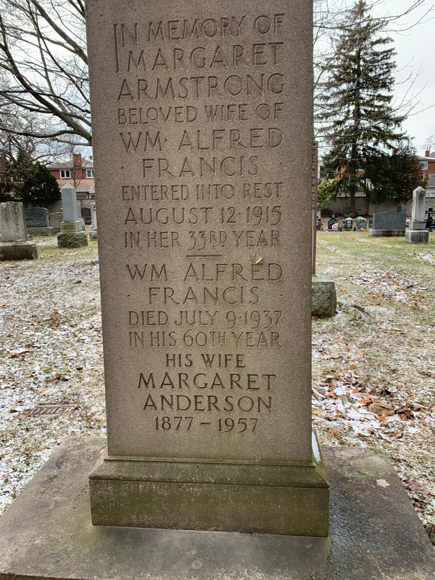
This is an interesting stone because it appears to mark the grave of a man who married twice.  Both wives were named Margaret.  William Alfred Francis appears to have survived his first wife, Margaret Armstrong by 22 years.  His second wife, Margaret Anderson survived him by another 20 years.  Both women who bore the name Mrs. Margaret Francis appear to be laid to rest with the husband they both loved.
IMG_0124

Every cemetery is full of the stories of the lives it commemorates, if we only had the ability to read them.  Prospect cemetery tells the stories of thousands of people who defended our liberty, especially in World War 1.

Other cemeteries we’ve written about include Mount Pleasant Cemetery, The Necropolis and St. John’s Cemetery on the Humber.

Like us at http://www.facebook.com/hikingthegta

Follow us at http://www.hikingthegta.com

Also look for us on Instagram
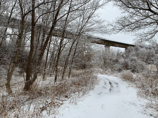
Thackeray Landfill Park

Saturday, January 4, 2020

Kipling Avenue comes to a dead end just north of Steeles Avenue where Thakeray Park Cricket Grounds are.  The large hill on the property is a mound of household waste that was placed here when Thakeray Landfill was in operation.  The site is 45 hectares and contains 2.2 million tonnes of non-hazardous waste.  After closing in 1978 it was turned over to the city in 1979 to be managed as a park.  However, ongoing methane gas leakage has caused the site to be under utilized until now.  A proposal has been put forward to convert the methane into electricity as is currently done at Beare Road Landfill site in Rouge National Urban Park.  The city earns $2 million each year selling electricity back into the grid.  To check out this park we used the free parking for the cricket grounds.

A fresh coating of snow was on all the trees as we set out for our walk, reminding us of how beautiful winter can be.

IMG_0042

As we made our way along the north side of the former landfill we began seeing sets of coyote tracks.  Their footprints tend to run in a single line unlike a dog which shows left and right side as distinctly separate tracks.  We could hear two coyotes howling nearby and wondered if they may have entered mating season a little early.  The season doesn’t usually start until late January but we found a site where a coyote had urinated and left considerable amount of blood as well.  This could indicate a female in heat.

IMG_8808

The sides of the former landfill have been planted with trees to promote an eventual forest cover for the site.

IMG_0044

The Canadian National York Subdivision was built to connect the new MacMillan Yard with various lines on the east end of Toronto.  The line was started in 1959 and completed in 1965 through what was open farm land at the time.  The bridge over the Humber River was built in 1962 and has been added to the list of Humber River Heritage Bridges.  It features rare A-Frame reinforced concrete piers that carry a single line over the river.  The line expands into double track just west of this bridge.

IMG_8811

The railway approaches the river on a high berm that affords great photos of the frequent trains.  The early morning snow fall had already melted away by the time we had walked north to the Vaughan Sports Complex and back.

IMG_8822

Taking the trail to the left we climbed the hill that represents the former land fill.  A grove of trees stands at the top of the hill.  Another trail beside these trees leads back down the hill toward Steeles Avenue.  The Trail continues under the road and eventually leads to the site of the former Country Hospital For Sick Children.  We followed the trail for a short distance before returning to look at the mini airfield on the top of the land fill.

IMG_8824

Radio controlled aircraft became popular in the late 1960’s and for several years people met at the Keele Street Reservoir south of Steeles to fly their aircraft.  Fear of fuel leaking into the water supply led to the banning of flying there in 1972.  The club moved around looking for a home until 1982 when they located the Thackeray Park site that became their new home.

IMG_8837

Initially the landing strip was made of dirt and as the landfill started to settle it became very uneven.  Water would pond in the field in the spring time.  In 2000 about ten truck loads of soil were brought in to level the ground again.  The sun shelter was added in 2002 and a solar power charging station installed in 2012.  By 2014 there were a lot of smaller airplanes using the field and they were having a hard time taking off and landing on the grass runway.  It was decided to install a Geo Textile runway along with six pilot stations to meet the needs of the club for the near future.  Sixty feet of grass landing strip is maintained for those who prefer this option.

IMG_8829

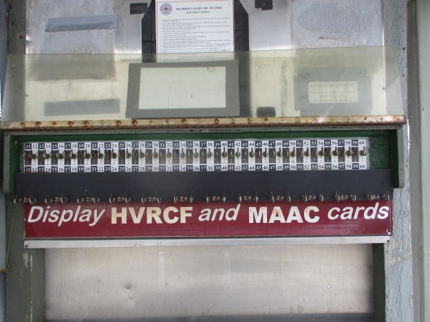
The Humber Valley Radio Control Flyers have a membership of over 100 who work together to maintain the field, keep the litter picked up and cut the grass on the landing strip.

IMG_8834

It will be interesting to see what Toronto Parks does with the old landfill site when it is declared safe for use as a park.

Another story of a park located on a former landfill site can be found at this link: Beare Road

Google Maps Link: Thackeray Park

Like us at http://www.facebook.com/hikingthegta

Follow us at http://www.hikingthegta.com

Now on Instagram

Utopia

Saturday, December 28, 2019

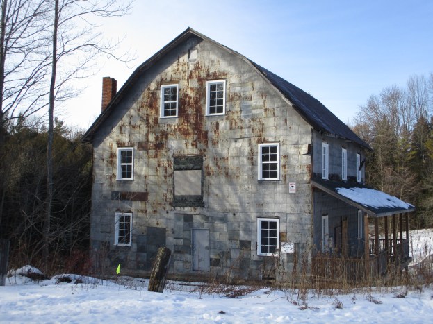
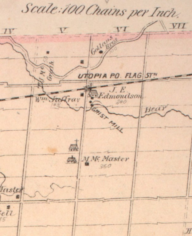
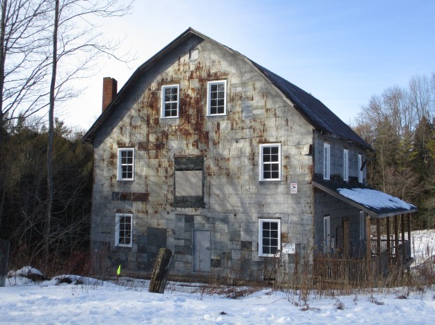
Utopia is a few minutes west of Highway 400 near Barrie and on a recent trip to see the family in Gravenhurst to celebrate Christmas I made the side trip to see the old grist mill that stands in the local conservation area.  Eugene Smith was the first settler in the hamlet of Utopia and he arrived with his family in 1845.  By the 1870s there was a hotel, blacksmith shop, general store with post office a school and two churches along with a saw mill and grist mill.  The town served the local farmers in Essa Township.

Utopia (2)

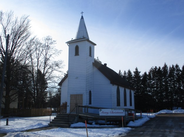
Church was often the focal point for early communities.  The rural farmers would often see each other once a week when they got together for worship services.  Sunday shopping hadn’t been invented yet and so Sunday was a day of rest when people would hang around after church to discuss the crops or catch up on the news.  In Utopia the faithful started meeting in homes and the school with services being held under a large tree at the corner of the 5th concession and 25 side road.  In 1873 John Jennet donated a parcel of land to build a permanent church for the Anglican parish in Utopia.  Reverend W. Bates was the first to hold services in the new church building.  It was originally known as All Saints but changed its name to St. George’s in 1874.

IMG_8776

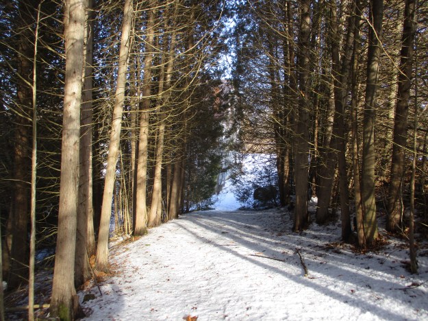
I parked at the entrance to the Utopia Conservation Area and went for a walk.  The road to the old mill has been blocked by several truck loads of fine gravel which has been dumped there.  This will likely be spread out on the trails in the spring.  Beyond this a gate across the road bears a sign indicating that the area is closed to the general public.  I carried on in the interest of photographing and reporting the current condition of the old building.   The original mill lane runs between rows of cedar trees.

IMG_8785

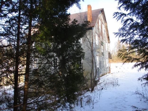
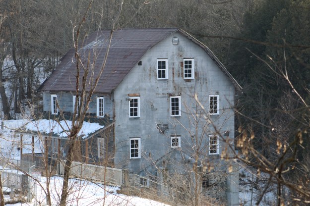
At the bottom of the lane the mill pokes out from behind the trees.  James Pink had built the original mill on this site in 1864 and soon added a saw mill down stream.  The water flow in Bear Creek was insufficient to run both mills at the same time so the saw mill was operated during the day and the grist mill at night.  Richard Bell had worked at the mill for three years when he bought it in 1879.  His brothers John and Manuel operated it until it burned to the ground on May 29, 1903.

IMG_8786

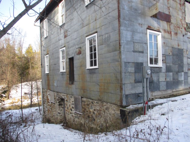
The mill was rebuilt and opened again on January 1, 1904.  The mill sits on a foundation made of stones that is four and a half feet thick.  It is claimed that quicksand forced the foundation to be set 30 feet deep.

IMG_8789

The mill had its own brand of flour including Gold Coin which was intended for baking bread.  Snowflake was milled with pastry in mind.  They also chopped grain for feed for the local farmers and by the 1940s this was the sole business of the mill.

IMG_8790

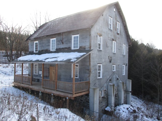
On October 14, 1954 Hurricane Hazel caused Bear Creek to rise to the point where the front porch of the mill was washed away.  The water ran through the building and out again without causing any structural damage.  The mill dam was destroyed and rather than replacing it Harold Bell decided to install a diesel generator.  The mill operated like this until it closed in 1965.

IMG_8795

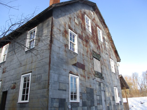
The Nottawasaga Conservation Authority obtained the property soon after this and have been slowly restoring the mill as funds have become available.  New windows have been installed and the front porch replaced.  Although the siding is coming off in a few places it still looks like the building is being protected from excessive deterioration.  Inside, many of the old shafts, pulleys and belts that operated the mill remain in anticipation of possible future use as a working mill.

IMG_8794

The dam was replaced with a new concrete one in 1969 to help control the flow of water in times of flooding conditions.

IMG_8813

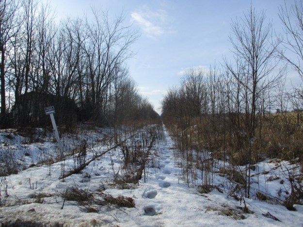
Grain was shipped to the mill from the prairies via a grain shed on the Canadian National Railway Line just north of the mill.  The rail line is abandoned today and clearly marked as no trespassing.

IMG_8798

It will certainly be interesting to see if the mill will continue to be restored to a fully functional grist mill.

For our earlier story on The Barrie Light Company click on the link.

Google Maps Link: Utopia Conservation Area

Like us at http://www.facebook.com/hikingthegta

Follow us at http://www.hikingthegta.com

Also look for us on Instagram
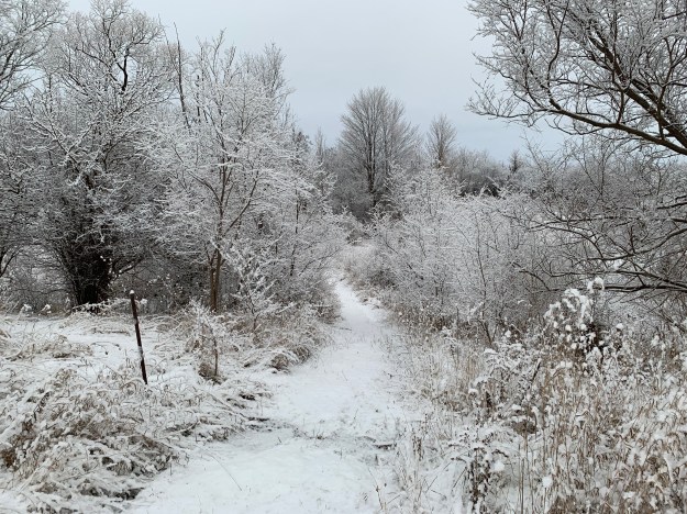
QEW’s Heritage Bridge

Saturday, December 21, 2019

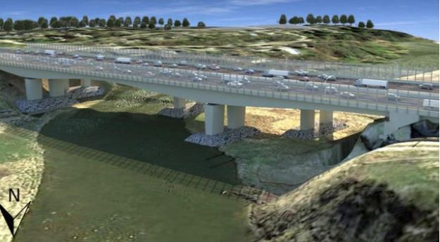
When the completed Queen Elizabeth Way opened in 1939 it had the distinction of being the first super-highway in Canada and the also first one to be fully illuminated at night.  (Although that was delayed until war-time electricity restrictions were lifted in 1945.)  Several bridges were built over the major ravines and the one over the Credit River in Mississauga has been given an historic designation. In April 2019 the Provincial Government announced funding to rehabilitate the bridge and build a second one directly to the north to allow for increased traffic flow.  By November they had decided to demolish the bridge and build two new ones in a modern box design.  Public outcry has resulted in the recent announcement that the government will only seek tenders that include the preservation and restoration of the historic bridge.

IMG_8753

I decided to stop by and see what the bridge looked like and get some pictures in case the ongoing flip-flop continues and we end up without this structure.  It can be most easily seen from Stavebank Road north.  The bridge was built in 1934 and was partially financed under the New Deal that was a government spending program intended to spur the economy during the Great Depression.  The bridge is 840 feet long with seven spans and is historic for its Art Deco design.  Also significant is the fact that the highway was commissioned by the king and queen during the first ever visit to Canada by a reigning monarch.

IMG_8755

The bridge, along with the highway, was officially opened on June 7, 1939 by King George VI and Queen Elizabeth.  Initially conceived in 1931, the highway was simple and intended to relieve congestion on Dundas Street and Lakeshore Road.  The new road would run between the two and be known as Middle Road for that reason.  This early version of the highway contains the historically significant Middle Road Bridge.  With the election of Mitch Hepburn’s Liberals in 1934 the plans were altered significantly in favour of a superhighway like the autobahns being built in Germany.  This resulted in the first cloverleaf in Canada being built for the interchange with Hurontario (Highway 10).  The Middle Road section of the highway opened in 1937 and was the 39 kilometres between Highway 27 and Burlington which included this bridge.  This picture features the view downstream.

IMG_8761

The view looking north up The Credit River from under the bridge.  Much of the eastern side of the river is wetland and marsh through this reach.

IMG_8763

There is a steel structure that has been installed between the main arches of the bridge and dates to the 1960 addition of two extra lanes in the middle of the bridge.  This allowed the highway to expand from four lanes to six.

IMG_8772

The bridge has been maintained several times including 1977, 1987 and 2014 but the weather and road salt is getting at it in several places again.  This looks like another opportunity for some patching of the decay.  There’s  few cavities but no root canal or extraction appears to be warranted.

IMG_8767

Part of the restoration will include replacing the road deck which is starting to rust in a few places.

IMG_8808

This Ministry of Transportation image shows the twin box design bridges that we almost got at this site.  It would seem that the new bridge on the north side of the existing one may use this design as it is a current favourite with the government.

QEW Bridges

The architecture of the bridge is interesting in that the supports for the arches have their own arches included.  No such Art Deco design elements would be included in a replacement bridge.

IMG_8807

The bridge features some interesting lamp posts with the letters “ER” in the iron work.  This is Latin for Elizabeth Regina, or Queen Elizabeth.  It would be easy to conclude that this refers to Queen Elizabeth II, our current monarch.  However, she was only a 13-year old princess when and it was opened.  It was actually named for King George VI’s wife whose name was Elizabeth.  She was later known as the Queen Mother and Queen Elizabeth II is her daughter.  The government plan for the demolition of the bridge would have seen the ornate lamp posts preserved and re-installed somehow in the new structure.  Fortunately they can be preserved in their current position on the rehabilitated bridge.

IMG_8803

Each day over 165,000 vehicles pass over this bridge but apart from the lamp posts most of them will never see the architecture of the bridge.  So, why care about a design that only a few fishermen and local residents will ever see?  The issue has far reaching implications because once heritage structures start to be demolished for economic reasons the entire designation system will become powerless to protect our remaining history.

Google Maps Link:  QEW Bridge

Like us at http://www.facebook.com/hikingthegta

Follow us at http://www.hikingthegta.com

Look for us on Instagram


Timothy Street – Pioneers of the GTA

Saturday, December 7, 2019

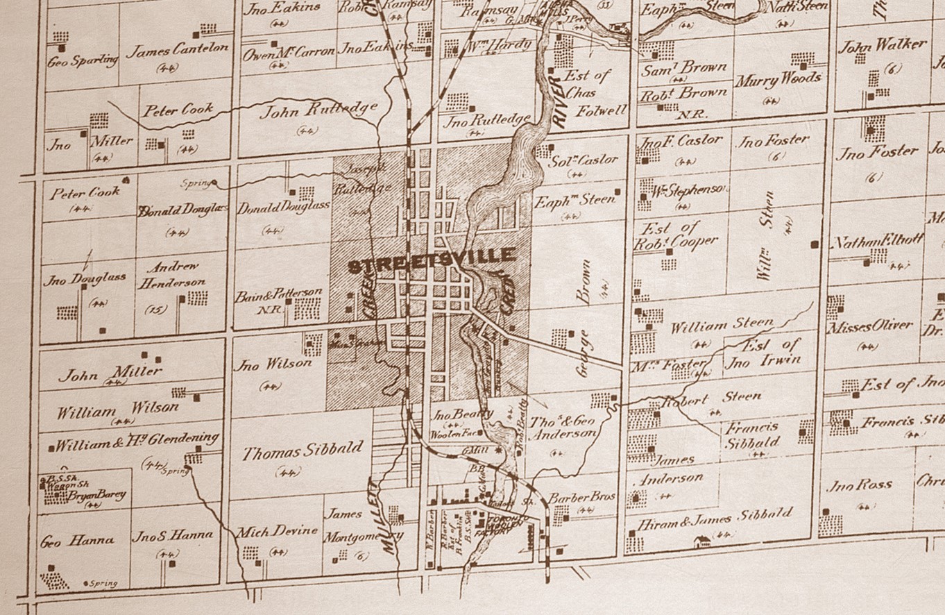
The founder of Streetsville was born in New York in 1777 and emigrated to Upper Canada in 1801 after marrying Abigail Smith.  They lived near Niagara for twenty years and in 1818-1819 Timothy financed the survey of Toronto Township and was compensated with 4500 acres of land that would become the town of Streetville.  We decided to go and explore some of the legacy he left behind.  We parked on Mill Street beside his historic home.  The county atlas below shows how large Streetsville had become by 1877 when it was released.

Streetsville (2)

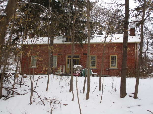
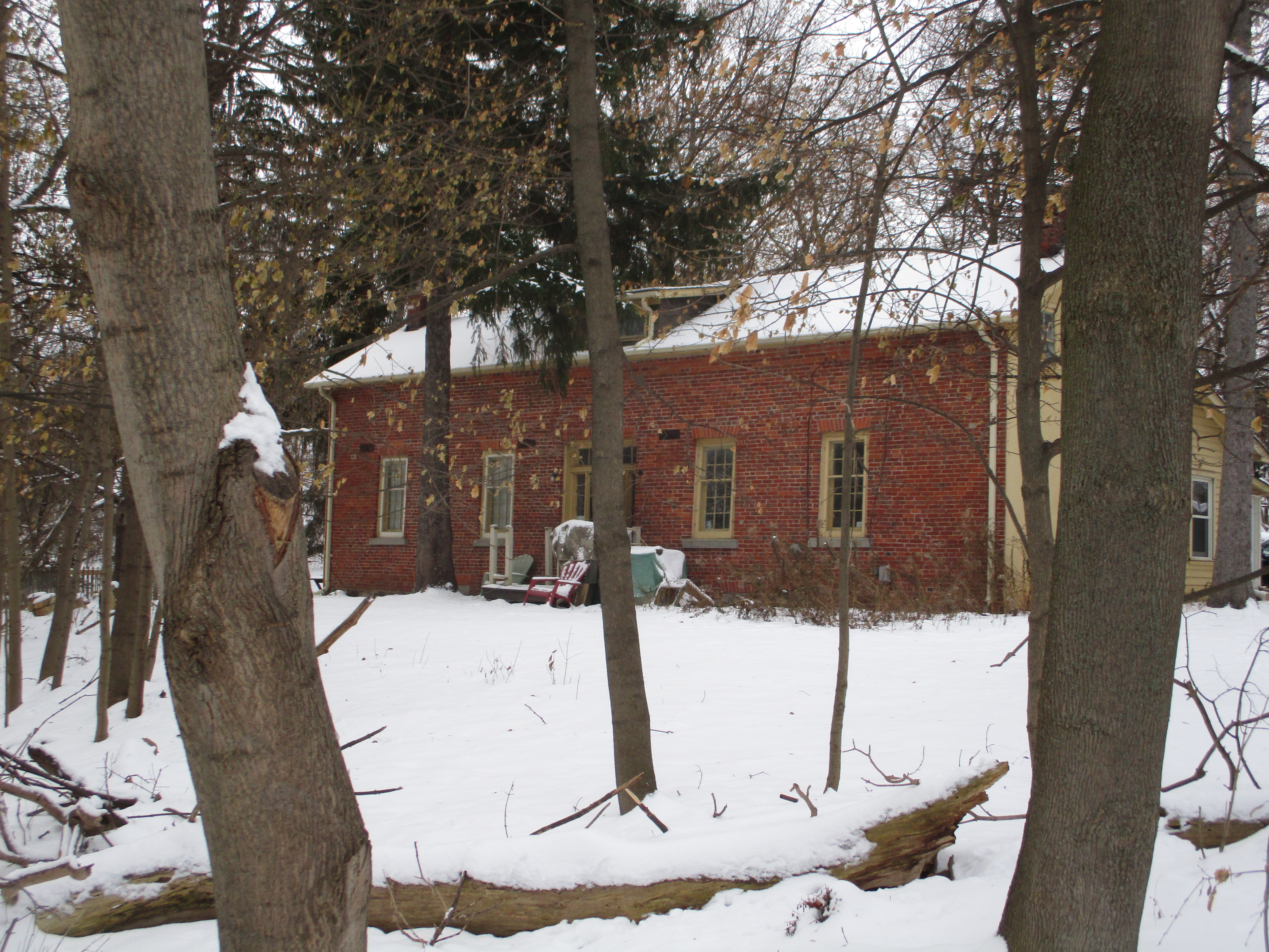
Timothy founded a milling empire and in 1825 built the house that still stands at the end of Mill Street near his mills.  He first built a grist mill around 1822 and soon added a lumber and saw mill.  He continued to expand by adding a tannery, distillery and clothing mill.  The brick house he constructed is considered to be the first brick house to be built in Peel County and remains the oldest one.  It is a story and a half and has been added to at least twice partly to accommodate the 12 children he raised along with Abigail.

IMG_8641

Timothy needed water to power his mills and so he built a dam across the Credit River just north of the mills.  He found a narrow place where an earthen berm could be built to retain the mill pond.  Originally the dam would have consisted of a wooden crib across the river that was filled with stones.  This type of dam required constant repairs, some of which could be quite dangerous.  Many millers lost their lives trying to save their mill dams from being washed away in the raging spring waters.

IMG_8645

In 1824 Timothy Street deeded an acre of his land to the Presbyterian Church for the purposes of establishing a Protestant cemetery.  Five of his own children would die in their youth and be buried in this cemetery.

IMG_8660

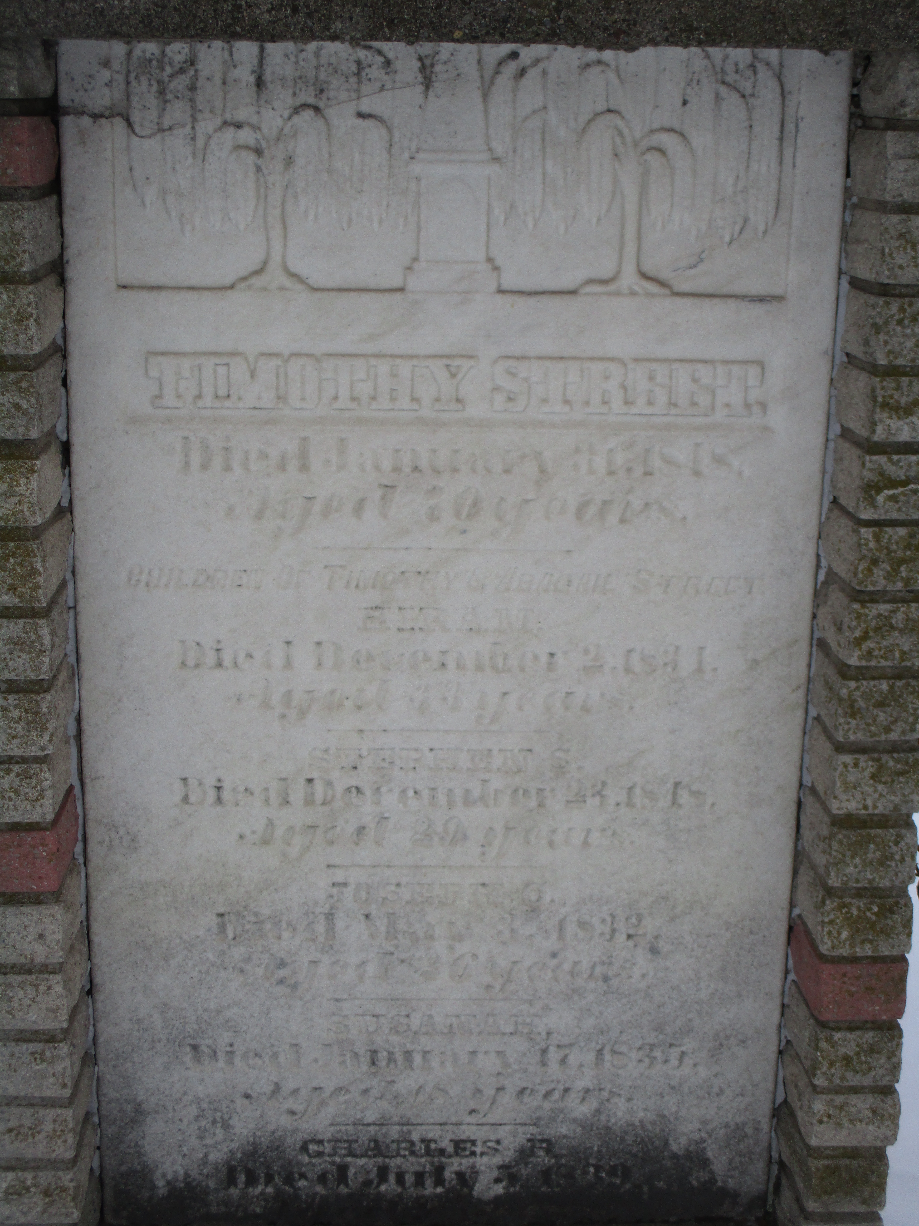
Timothy Street died an January 31, 1848 and was buried in the cemetery where his children were interred.

IMG_8661

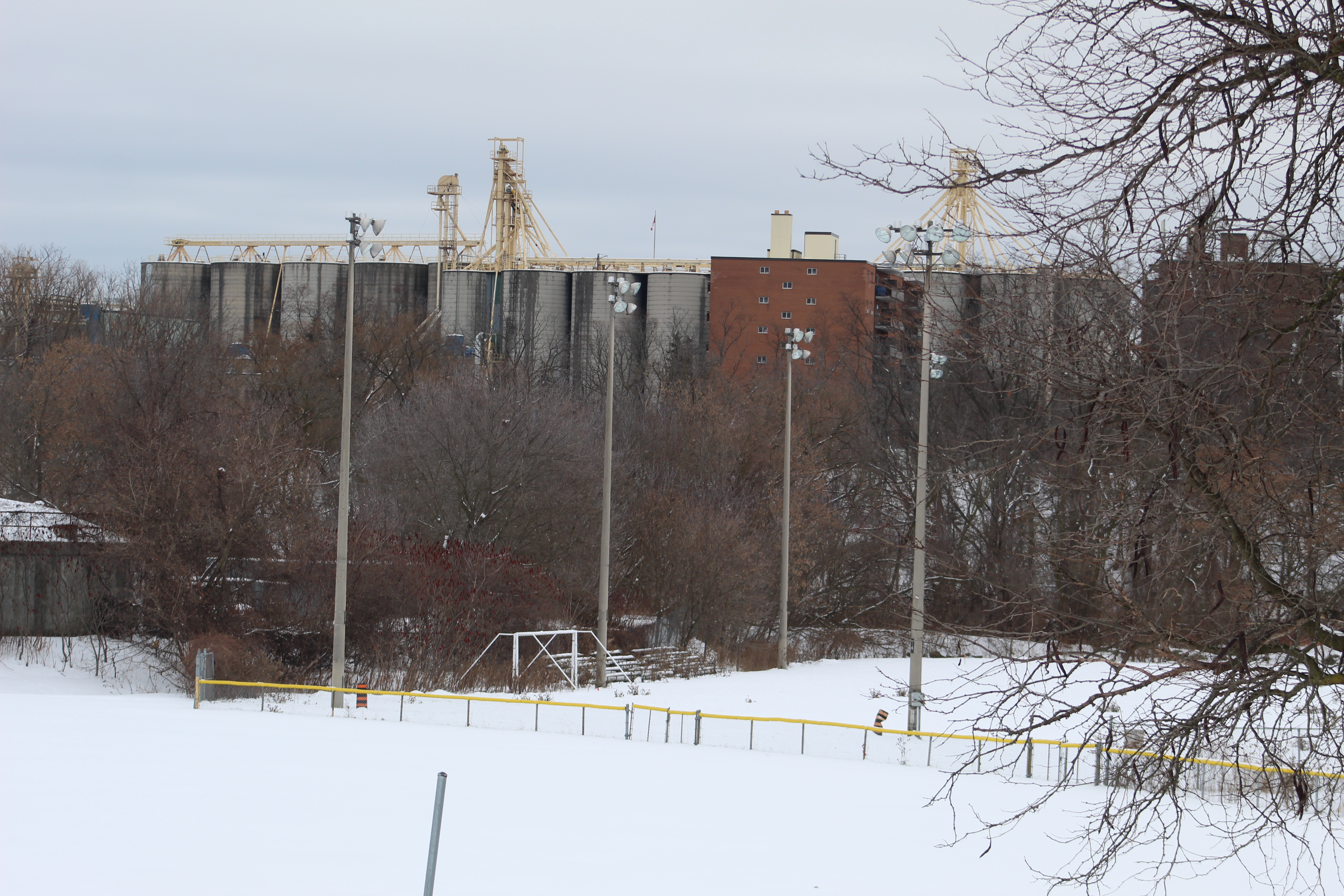
From the pioneer cemetery the silos of the Barbertown mills can be seen.  The milling community of Barbertown was located at the Credit River and Eglinton Avenue.  It included what was the largest woolen mill in Ontario during the middle of the 1800’s.

IMG_8664

The trails along the sides of the Credit River through Streetsville form part of the Culham Trail and will eventually be part of the Credit Valley Trail.

IMG_8656

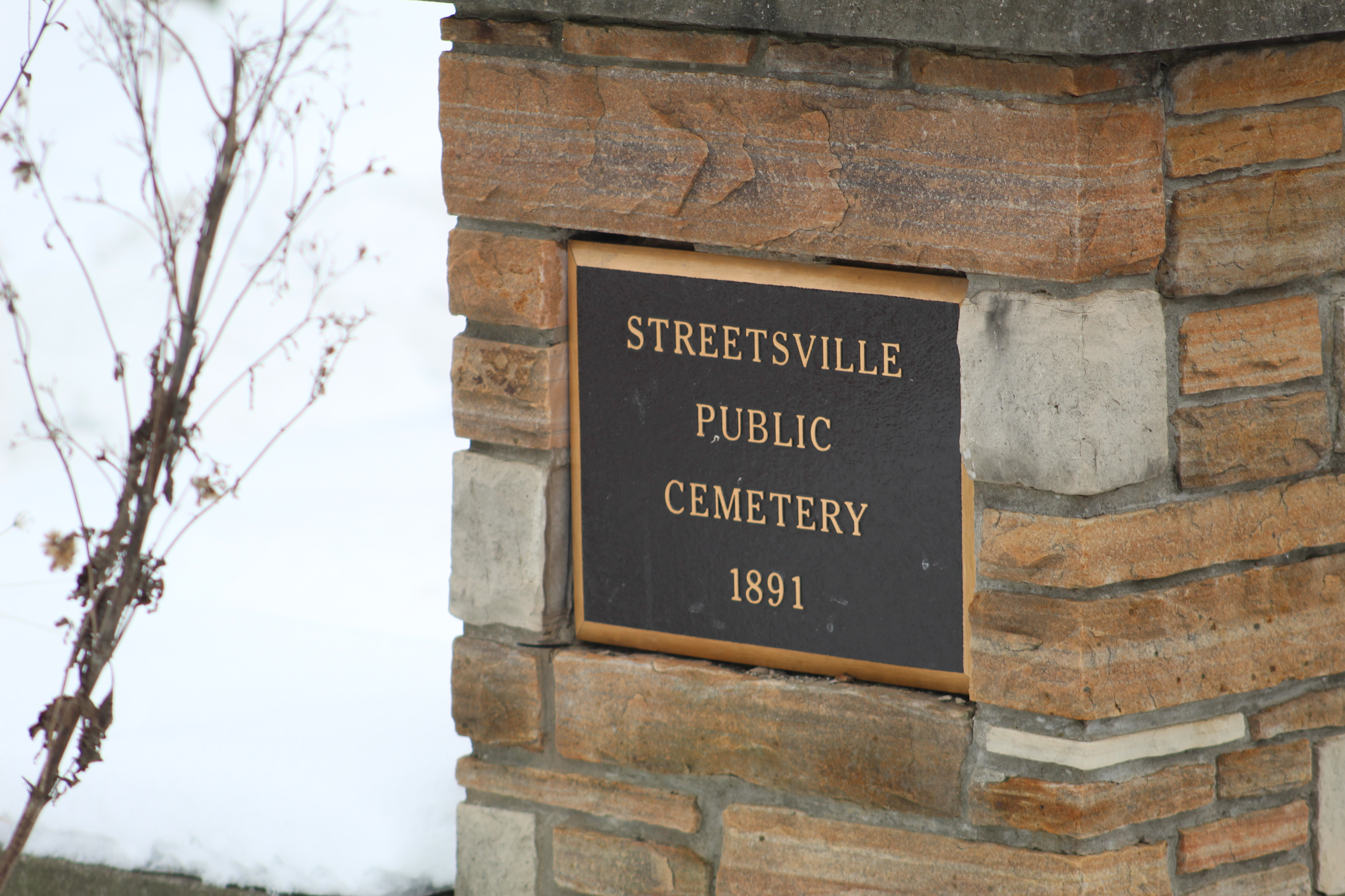
By 1890 the pioneer cemetery was reaching capacity and land for a new cemetery was donated to the town by Timothy Street’s daughter.

IMG_8650

A new study has found that squirrels use the local birds to help them determine if it is safe to go outside their nests.  Squirrels will listen to the tweets of birds in the area to help them understand if there could be red-tailed hawks near by.  When the birds are chattering away in normal fashion the squirrels go about their usual business of gathering nuts.  When the birds go silent the squirrels interpret this to mean danger and they take cover.

IMG_8654

The first high school in Peel County was built in Streetsville in 1851.  It was enlarged in 1877 when the two rooms in the front were added along with the Italianate tower.  It served as the school for 115 years before being converted to the town hall in 1966.  By 1974 it had been converted to be the local police station before its present tenant, the Kinsmen Senior Citizens Centre.

IMG_8667

Streetsville is one of the truly unique places where the city has surrounded a small town but failed to absorb it.  As a result Streetsville still has a lot of its small town charm and we have visited several times.

Further reading about Streetsville: Alpha Mills, Streetsville’s Forgotten Foundations, Hyde Mill, Barbertown

Google Maps Link: Mill Street Streetsville

Like us at http://www.facebook.com/hikingthegta

Follow us at http://www.hikingthegta.com

Also look for us on Instagram
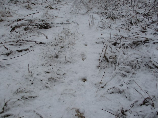
Donalda Farm

Sunday, December 8, 2019

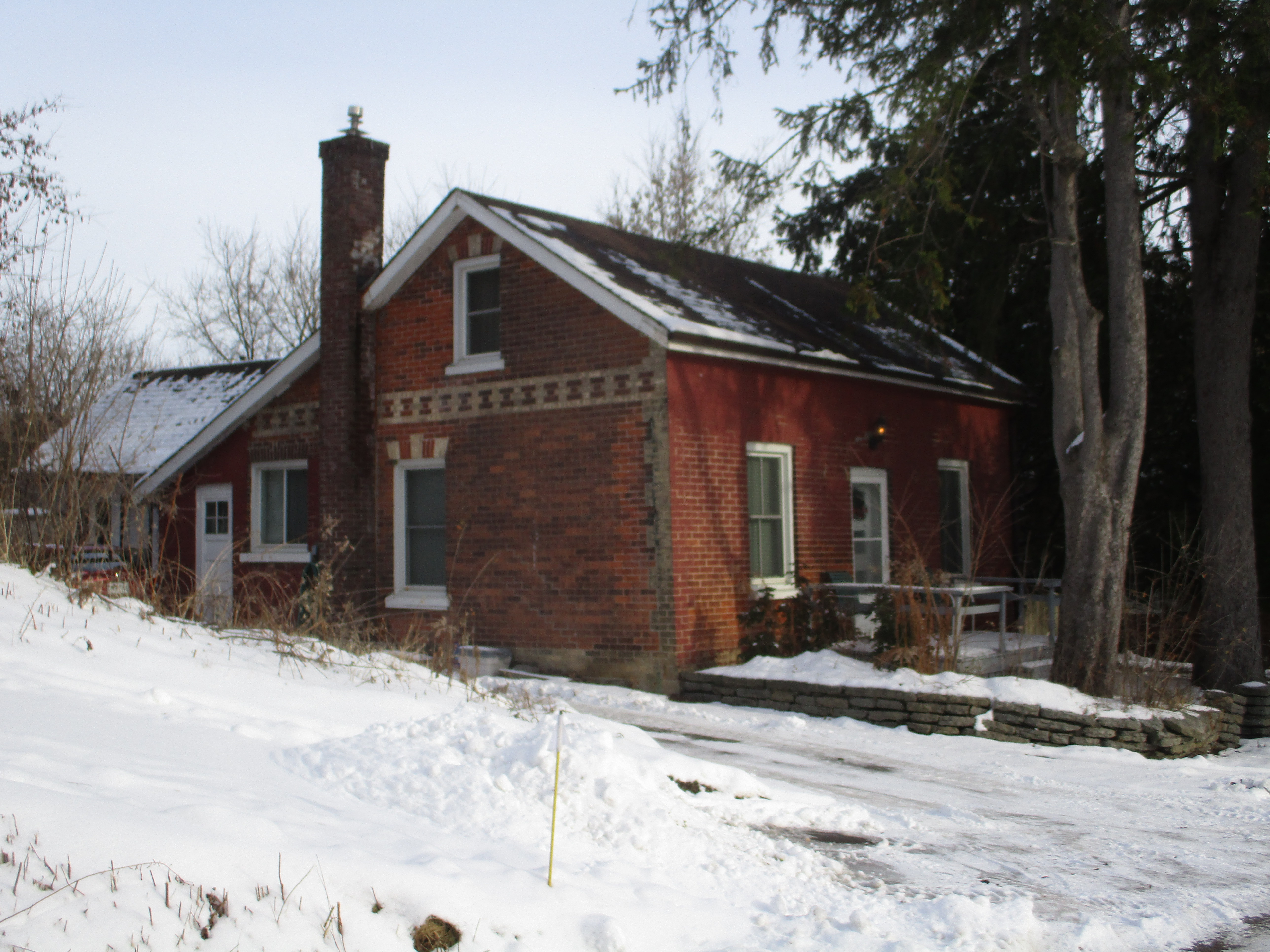
The property of the current Donalda Golf Club contains some of the oldest farm buildings remaining in the city of Toronto as well as one of the earliest surviving grist mills.  The property was deeded to William and Alexander Gray in 1825.  They quickly built a small milling empire along the sides of the Don River.  The County Atlas from 1877 shows the grist mill on one side of the river and the saw mill on the other.  The saw mill vanished when the timber industry ran out of local wood to use.  The grist mill was incorporated into later structures and the old lane way to the grist mill survives today as an access road. Please note that the golf course is private property and is not open to the public, even in the off season.

Donalda

The lane way has been recognized for its historical significance and is now protected under the heritage act.  It served as an access road to allow farmers to bring their grain to the mill to sell it or have it ground for flour.  It served as a given road between the modern day Don Mills Road and Victoria Park Avenue.  The eastern half of this given road has been closed and serves the golf course.

IMG_3110

Around 1840 the two brothers built brick homes that stood side by side and just across the lane way from the grist mill.  These two houses still survive on the property and unfortunately it looks like the front of one of them has been painted red.  This hides the patterned brick work that is still evident on the side.  This house has a Georgian Style, a design that was popular between 1790 and 1875.

IMG_8679

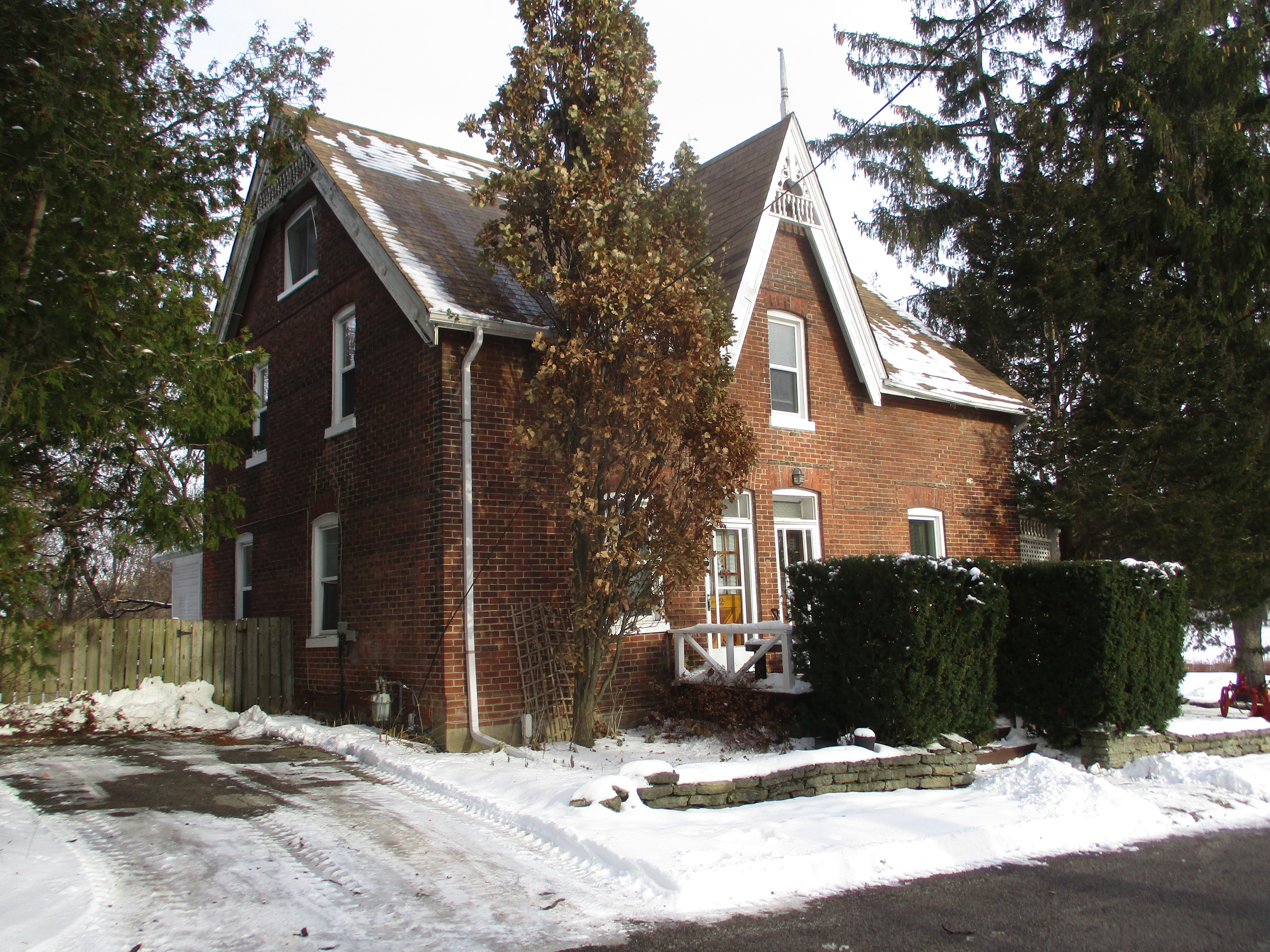
The second house lacks the patterned brick but has a more Gothic design, popular from 1830-1890.  Based on the architectural styles it would appear that this house was constructed some time after the first one.

IMG_8680

The grist mill was built in the 1830s and operated until the farm was sold in 1916.  The Grays ground their own brand of flour which they called Wee MacGregor.  It is the oldest surviving grist mill in the city that stands on the original site.  The grain elevator shaft can still be found at the rear of the old mill.

IMG_8687

One of the doors on the top floor of the old grist mill appears to have shifted in its track.

IMG_8692

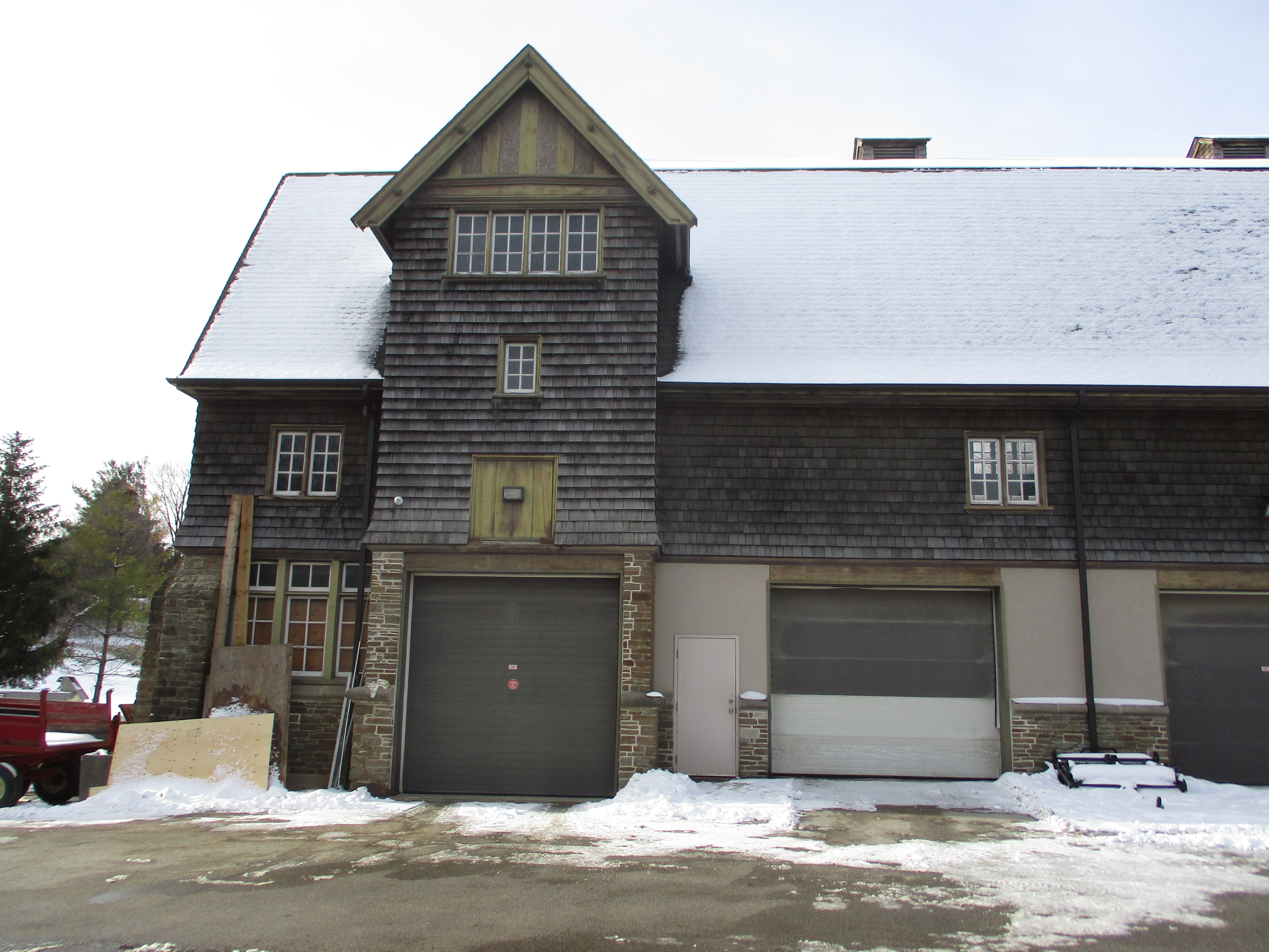
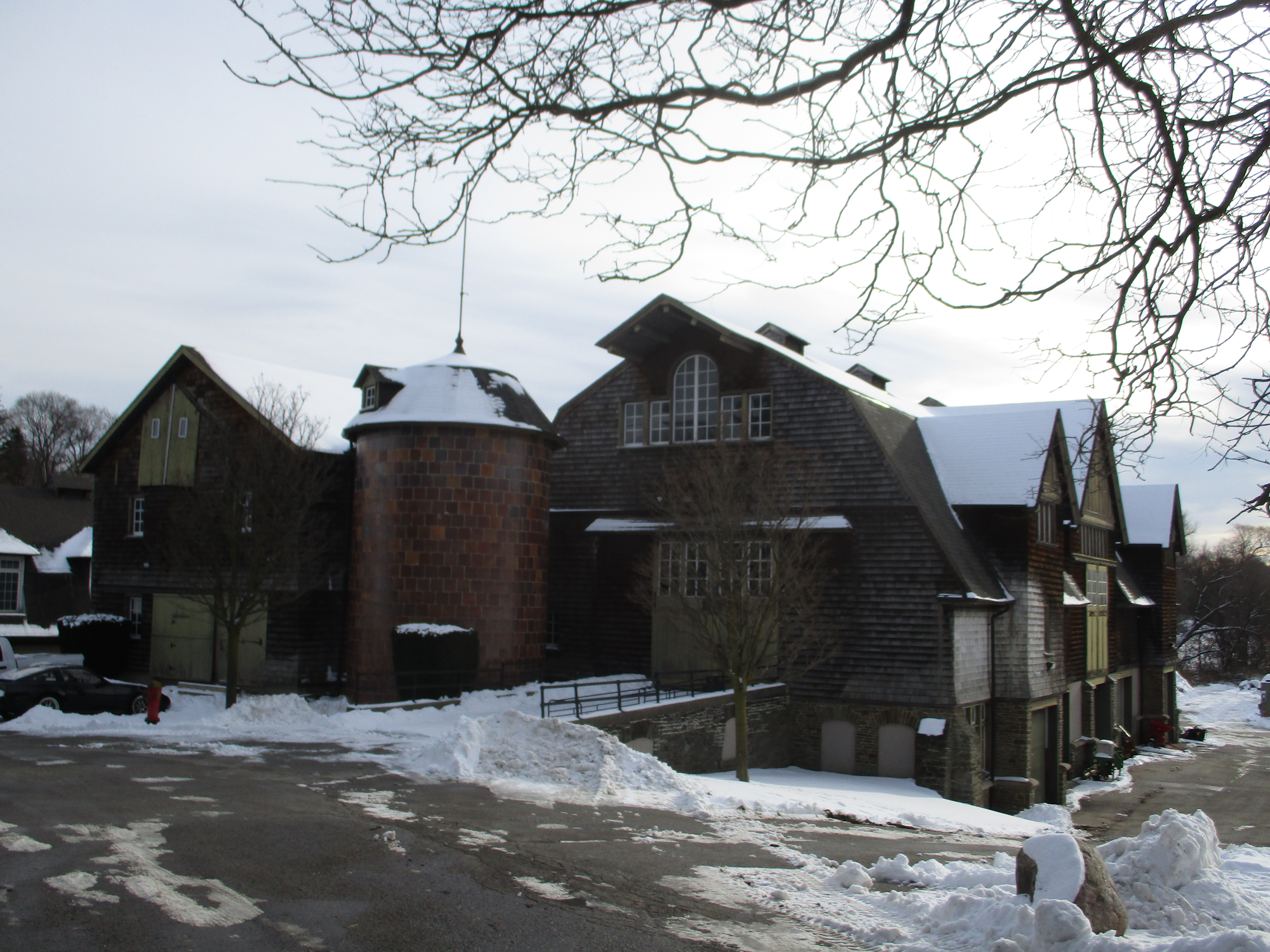
In 1916 David A Dunlap and Jesse Donalda Dunlap bought the farm from the Grays with the intention of building a model farm.  They had some ideas for sanitary husbandry that were ahead of their time and they wanted to showcase them to the world.  They hired the architects Wickson & Gregg to design and build their new barn, incorporating the old barn into the structure.  The cattle enjoyed soft radio music in the barn that featured fresh air ventilation.  In the winter they had steam heating to keep them warm and comfortable.  The pigs were bathed in olive oil and washed with toilet soap.  The front side of the old grist mill can be seen in this picture on the left of the new barn.

IMG_8681

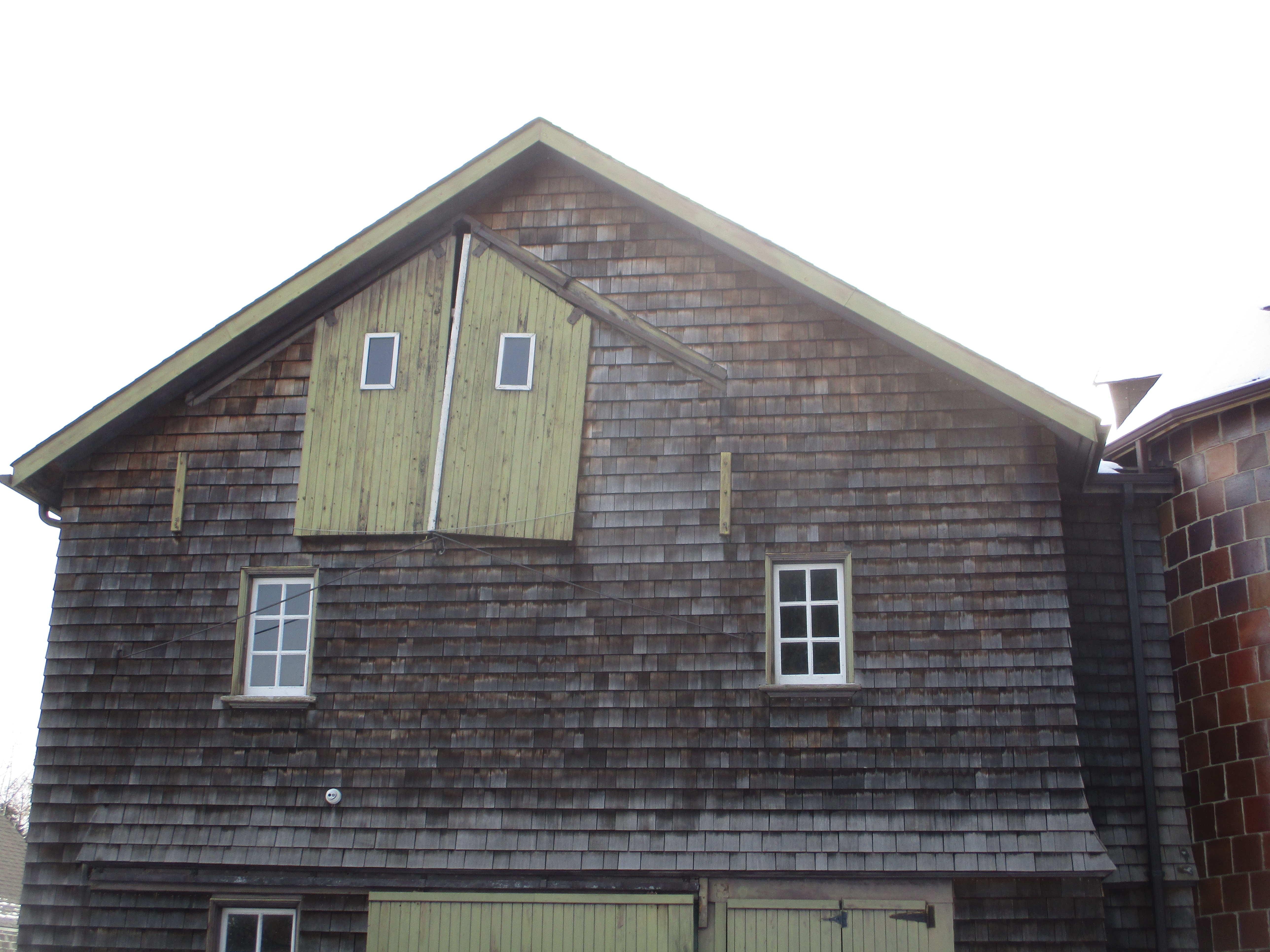
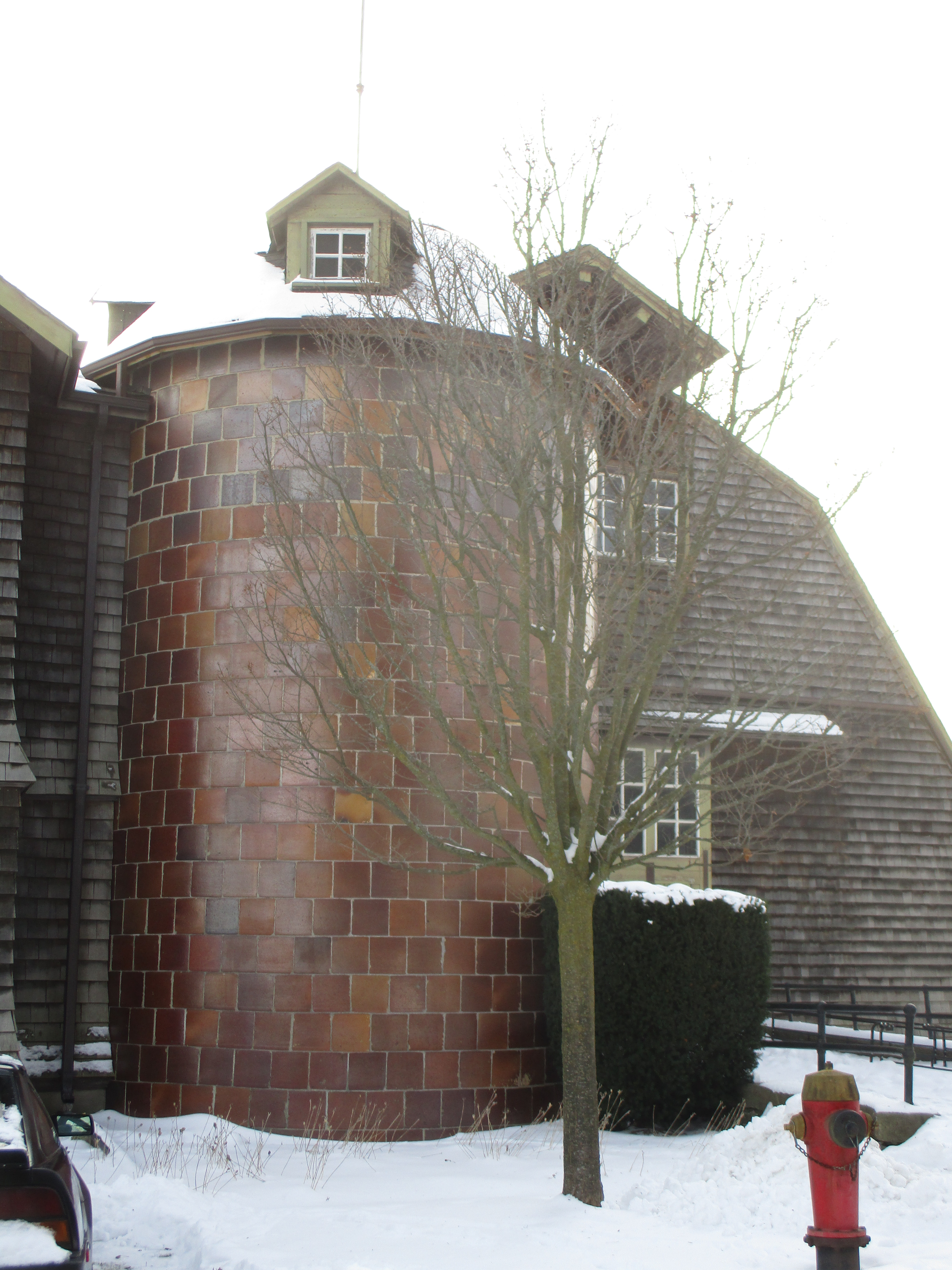
The farm expanded to include 1800 acres of land with over 40 farm buildings and 30 employees .  A lot of attention to detail and fine workmanship went into everything including something as functional as the silo where the animal feed was kept.  No boring old poured concrete for this granary but rather some rather beautiful tiles have been used.

IMG_8693

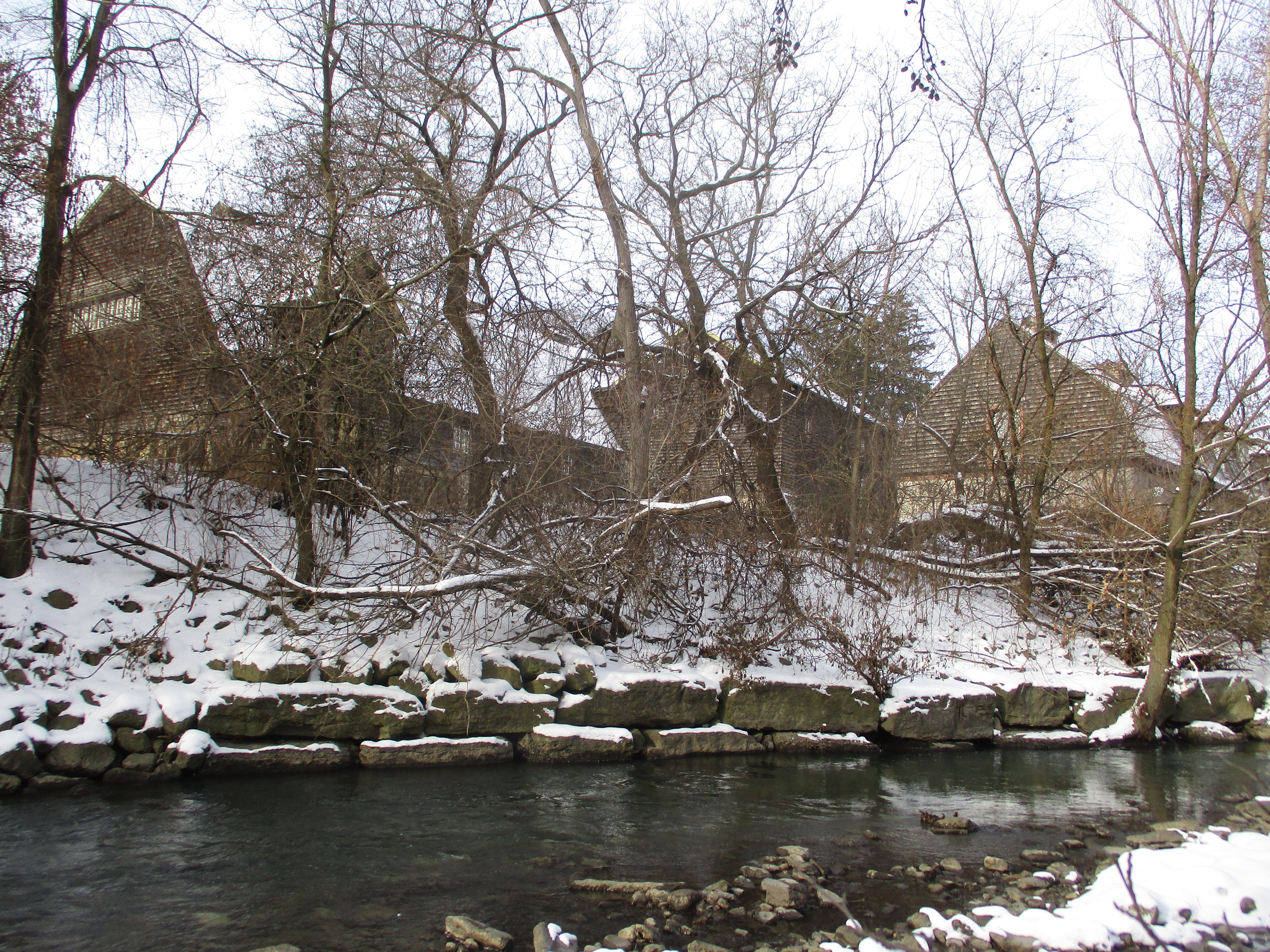
This picture shows the farm buildings and the old grist mill from the side of the river where the saw mill once stood.

IMG_8684

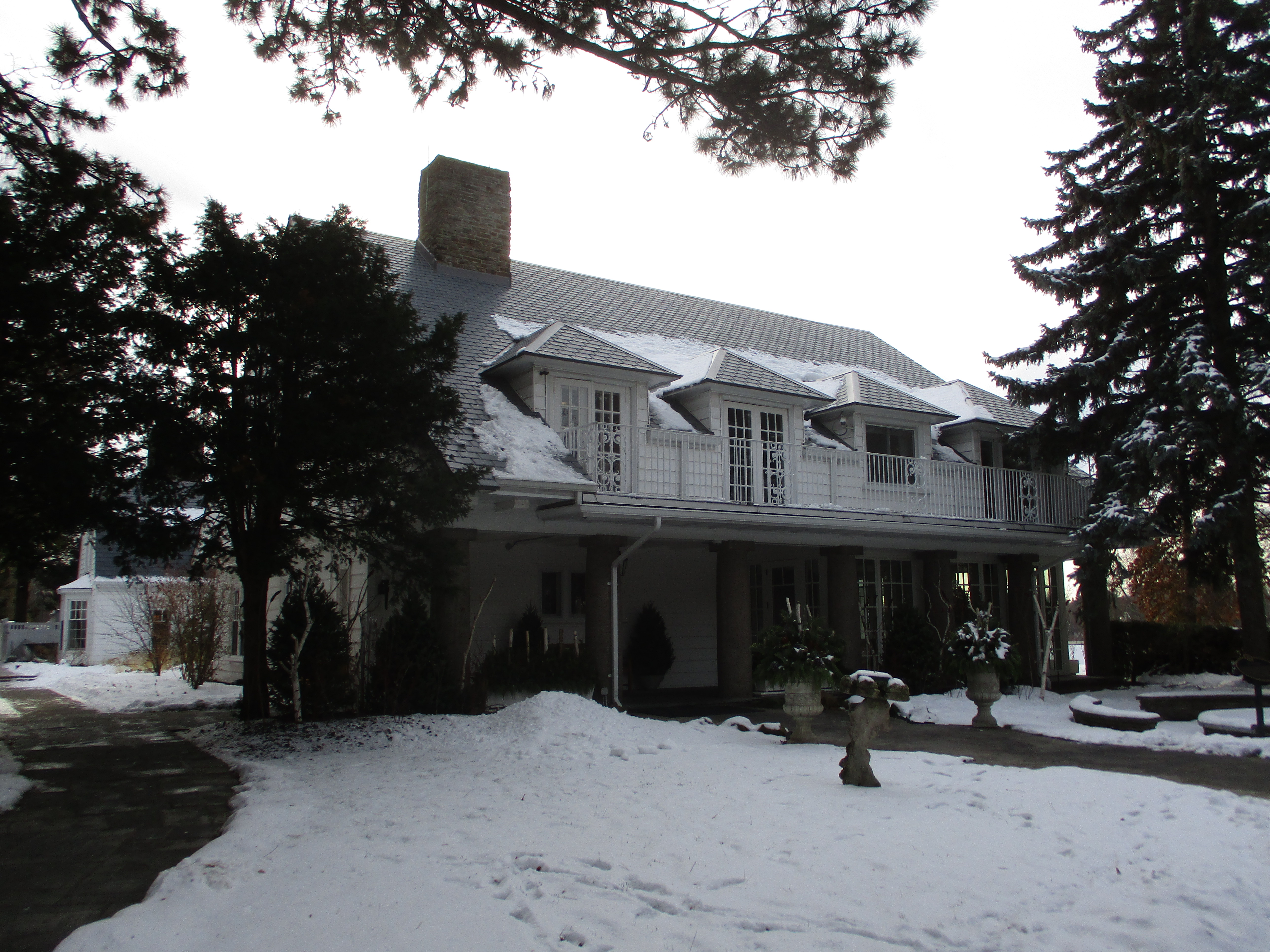
David Dunlap made his fortune by founding the world’s greatest silver mine followed by founding the second greatest gold mine.  Although they never lived there permanently in 1920 the Dunlaps decided to build a new home that would be used as their country retreat.  The house was given doric columns and wrought iron was used to create a classical design.  When David died in 1924 he left a 5 million dollar estate farm that his wife operated with their son until it was sold in 1952.  By 1960 it had become the Donalda Golf Club and the home was renovated to become the club house.

IMG_8678

David Dunlap left a quarter million dollars each to several schools, hospitals and churches.  His donation to Toronto General Hospital funded the Dunlap Radiological Science Department.

Google Maps Link: Donalda Golf Course

Like us at http://www.facebook.com/hikingthegta

Follow us at http://www.hikingthegta.com

Also look for us on Instagram
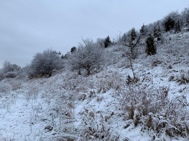
 

Chedoke Ski Hill

Saturday, November 30, 2019

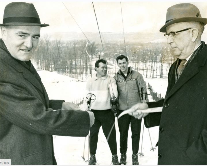
On January 7, 1964 Chedoke Winter Sports Park was officially opened.  Mayor Vic Copps and  head of the parks board Thomas Newlands cut the ribbon that opened the first run with its 900 foot tow rope.  Over time two more tow ropes and a chair lift would be added along with sled runs.  The park operated until 2002 when poor snow conditions caused the city of Hamilton to decide not to open it that year.  The following year it was closed permanently with the city citing an annual loss of $250,000.  The cost of upgrading the snow making equipment to be able to perform in warmer temperatures along with lift upgrades would have cost an additional $3,000,000.  Over the next few years most of the poles and lift equipment was removed guaranteeing that it would never open again.  The picture below was taken from The Hamilton Spectator and shows the ribbon cutting ceremony that opened the park.

Chedoke opening

The winter sports park added additional ski runs over the years as well as more tow lifts.  Eventually, a run would be opened from the top of the escarpment and it would be served by a chair lift.  Sled runs were also added and the park served as a winter destination for the next four decades.  Attendance declined over the years and the cost of operating the hill continued to increase until the city decided to close it permanently.

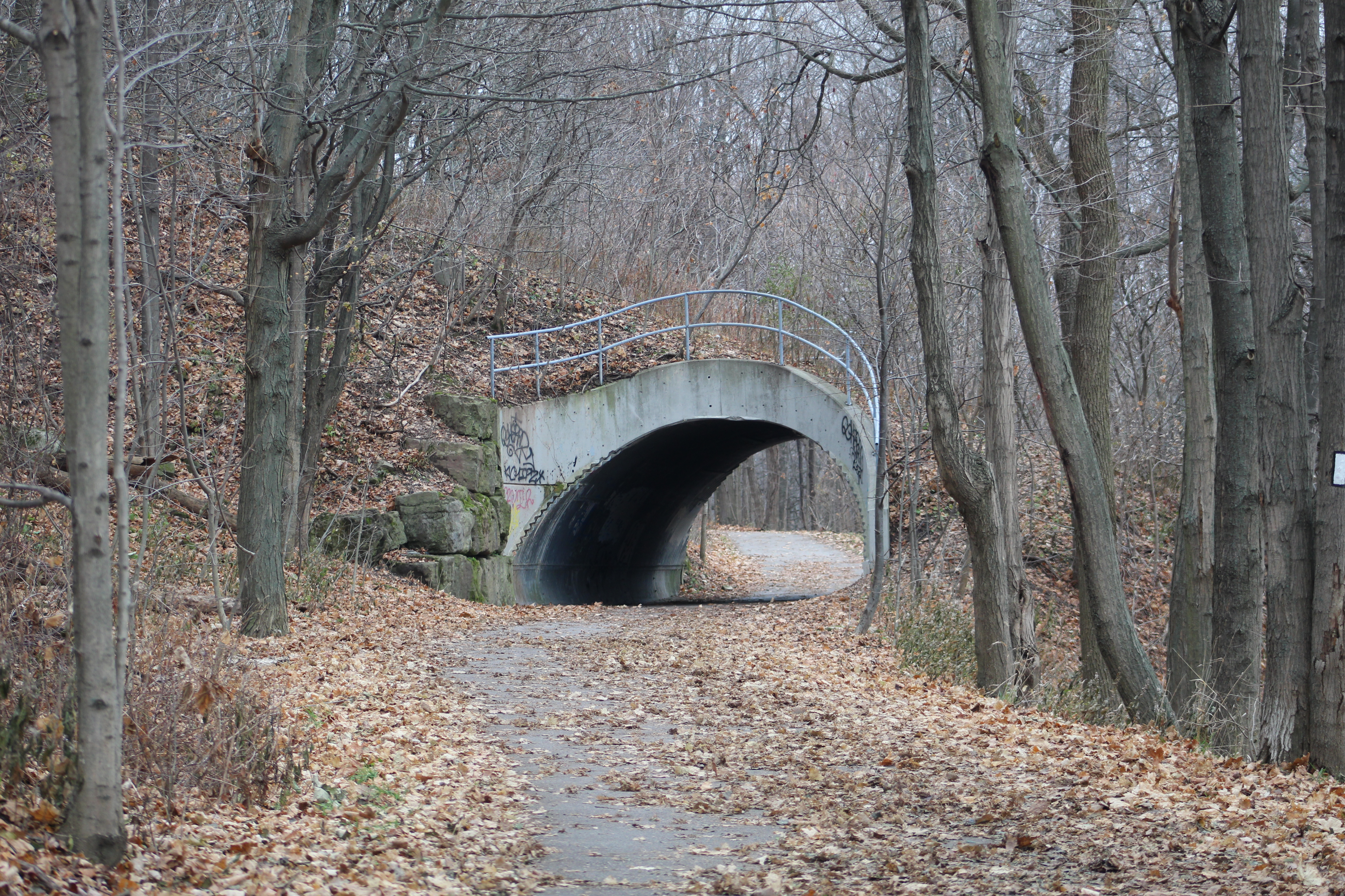
The Chedoke Rail Trail runs along the bottom of the escarpment near the Chedoke Golf Course and it has one unusual tunnel just north of the parking lot.  This tunnel allowed pedestrians to pass under the tow rope that carried skiers back to the top of the hill.  The tunnel is flanked on both sides by abandoned lamps that lit the former ski hill.

IMG_8573

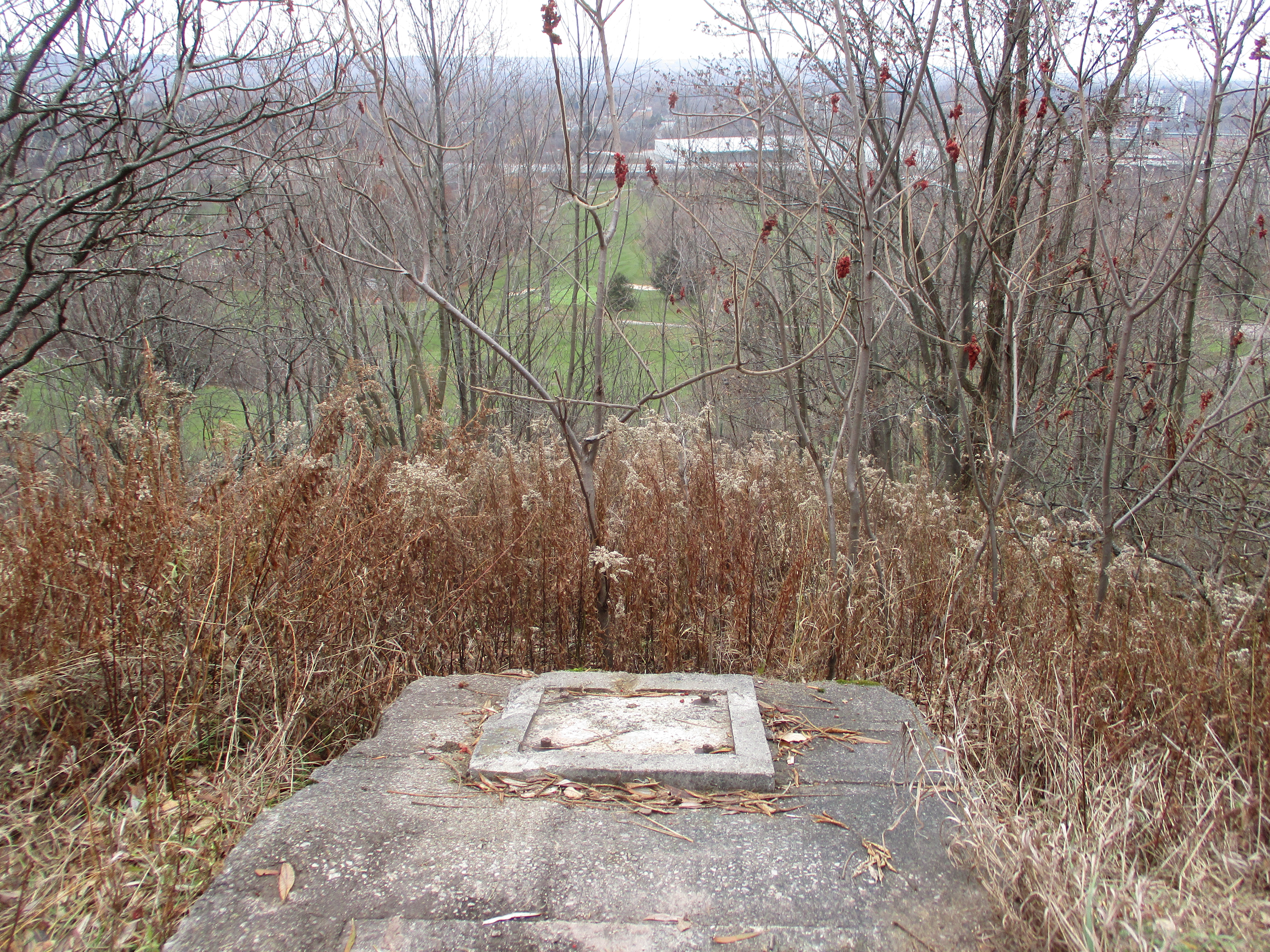
This tow rope supported one of the shorter runs and ended just a few metres above the  Bruce Trail.  The concrete pads where the upper wheel was located have been left behind.  Near this spot is an open pit that contained snow making pipes and equipment so watch where you step if you explore this area.

IMG_8537

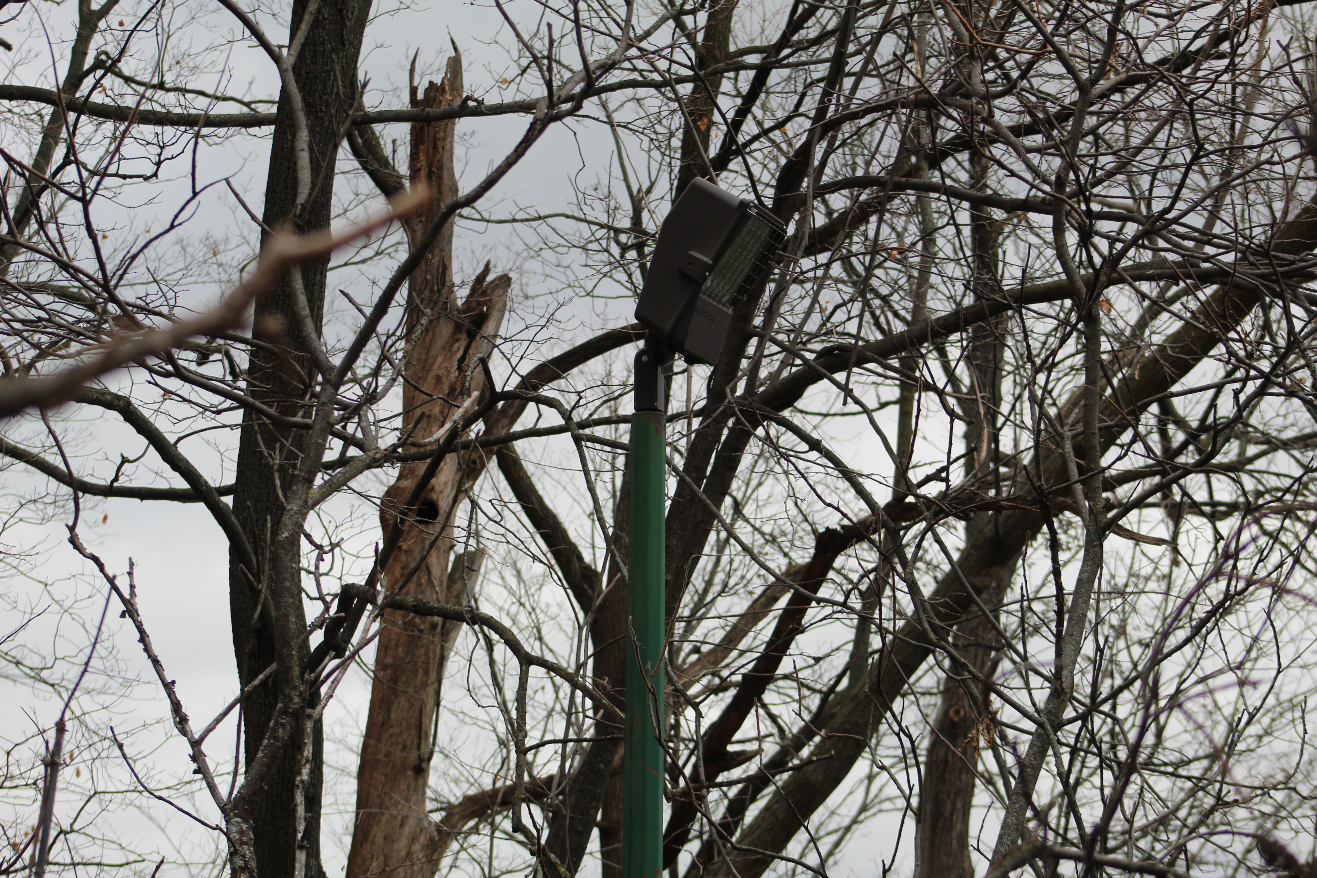
Each of the ski runs was lit for night skiing.  Although the lift mechanisms have been removed, the light fixtures were left behind.  They will slowly be overtaken by the new forest growth and will seem somewhat out of place to future explorers after the ski hills have been forgotten.

IMG_8586

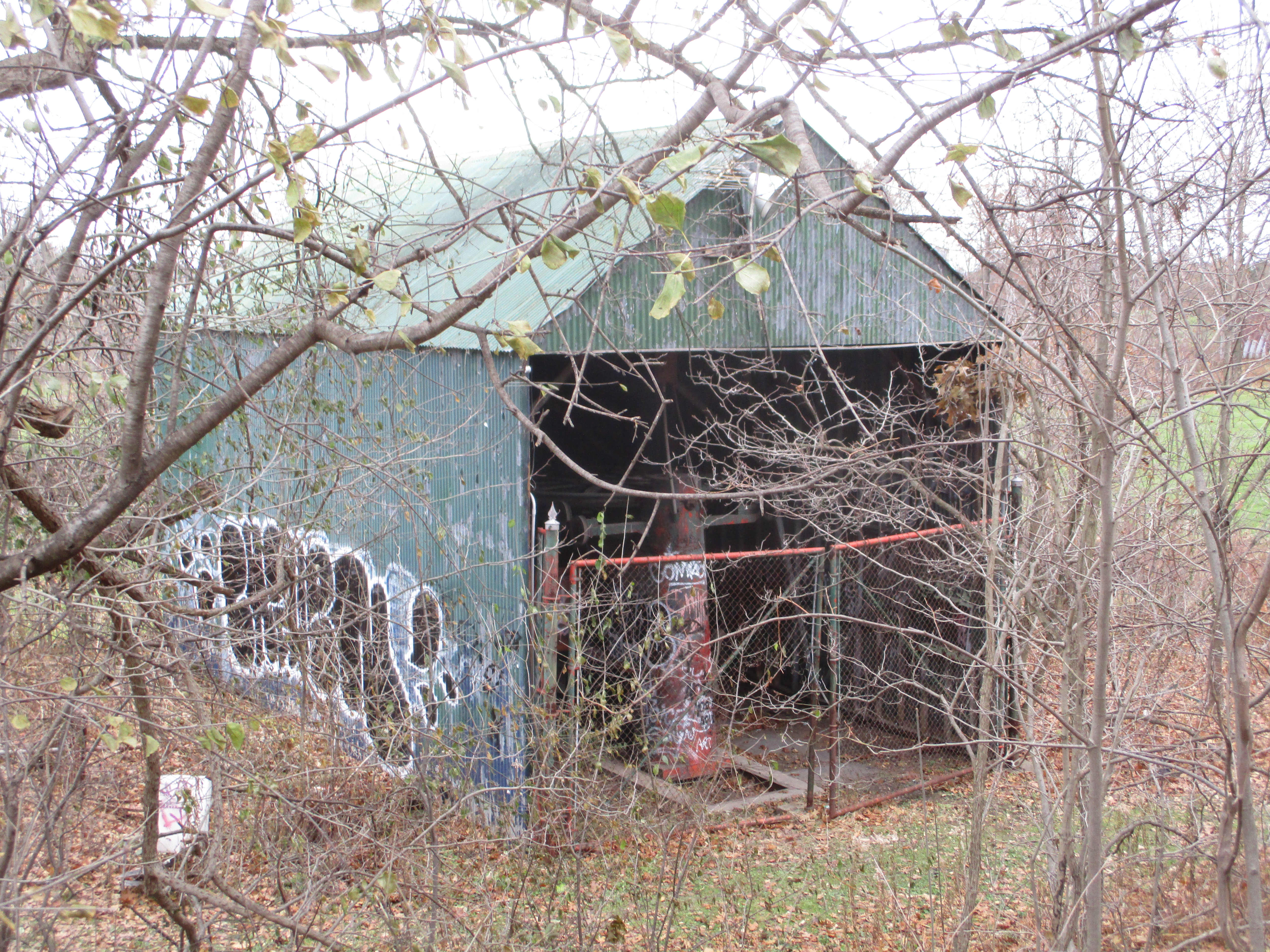
Between 2003 and 2009 most of the lift equipment was removed from the site.  All of the lift poles and tow ropes were disassembled and carted away except for the main drive unit for the chair lift.  It still stands at the bottom of the longest run, hiding in a green shed.

IMG_8567

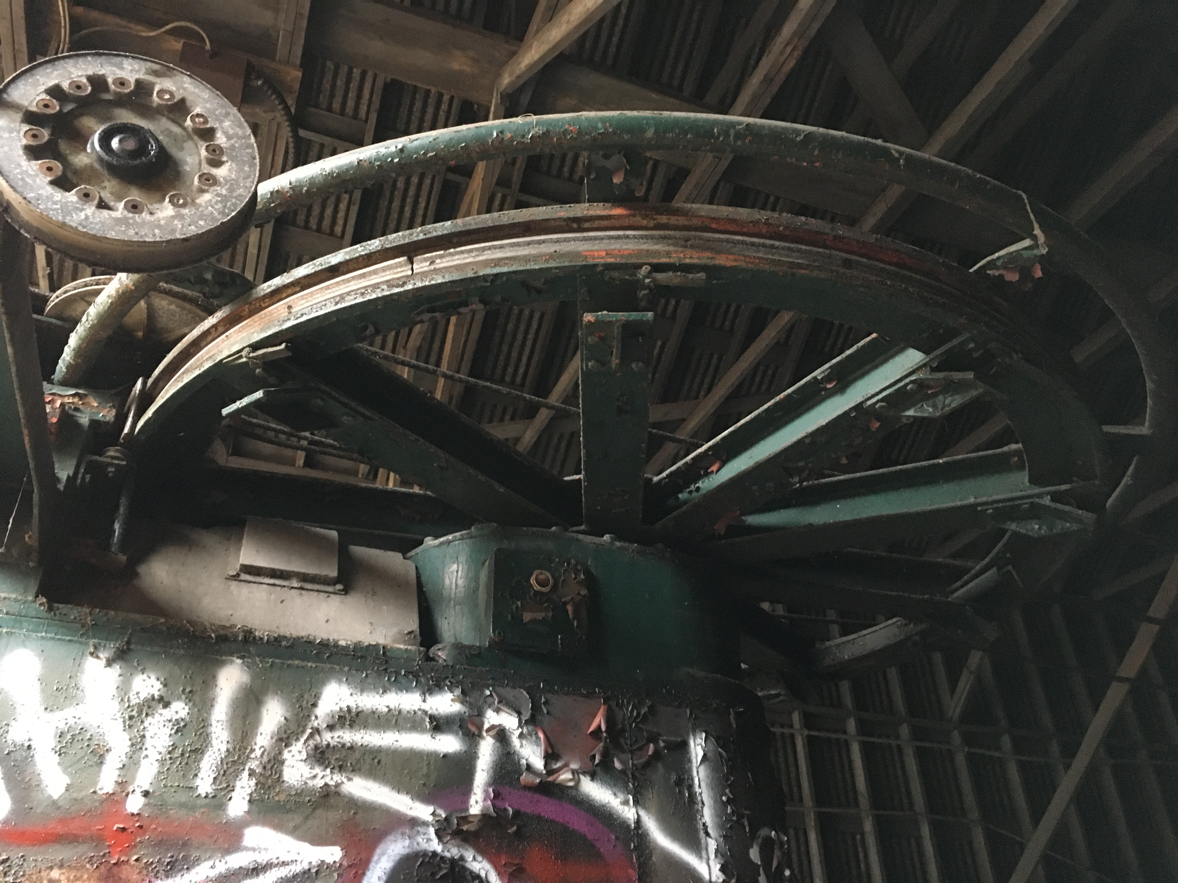
Inside the shed the main wheel and drive assembly still stands although the lift cable has been removed.  The wheel assembly is mounted on a pit in the floor that allowed the mechanism to be pulled backward by means of a hand crank and a series of cables.  This was used to keep the tension on the main lift cable.

IMG_3029

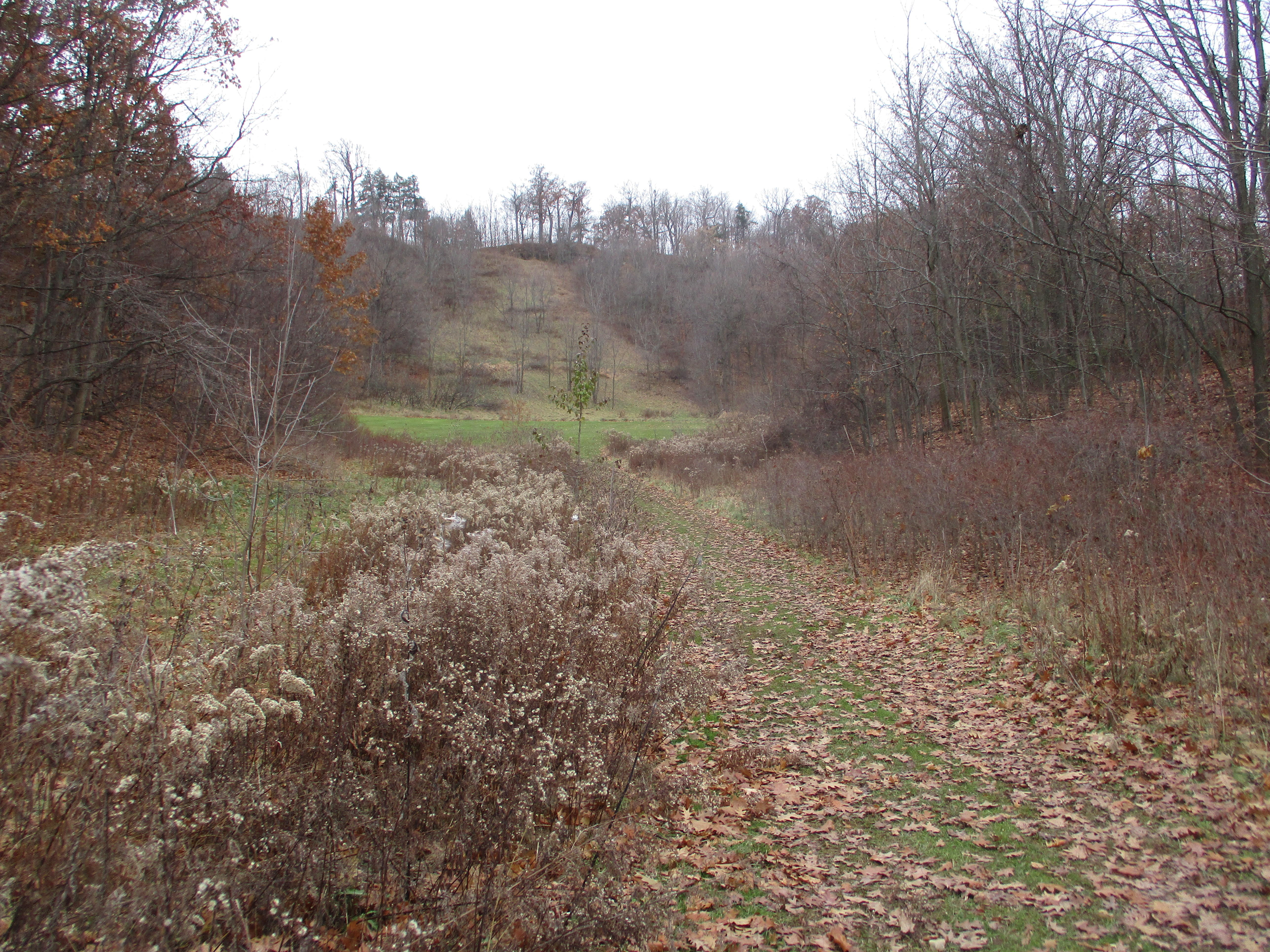
From outside of the lift shed the view up the hill reveals how quickly the trees are creeping back onto the ski slope.  The lift towers and chairs have been removed so we had to climb to the top.  The Bruce Trail crosses the slope about half way up the picture.

IMG_8587

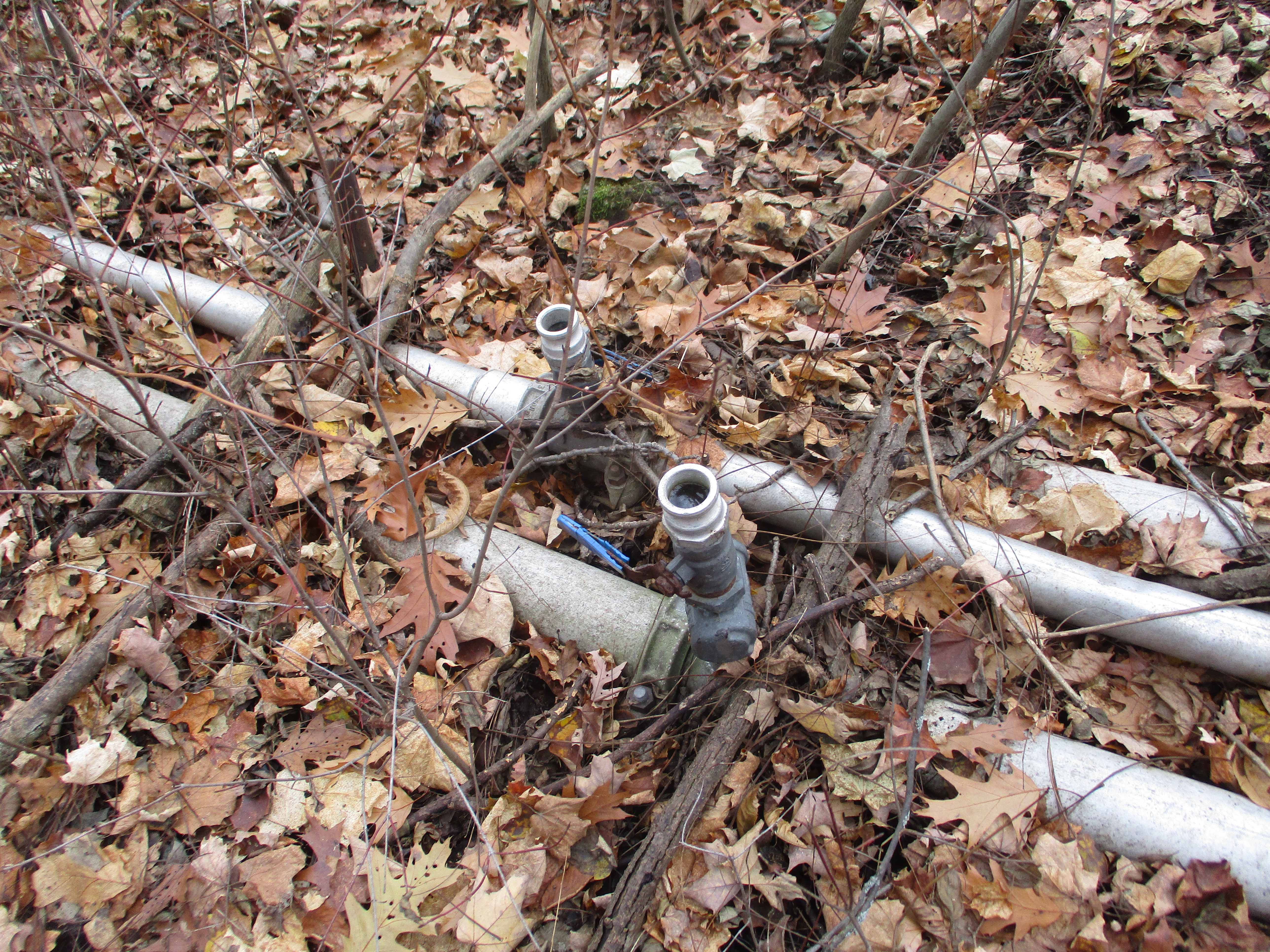
Three rows of PVC pipe run down the length of the longest run.  These were used for the snow making equipment.  Expensive upgrades to this system  to allow snow making in warmer temperatures were cited as part of the reason for closing the site down.  The lift poles were removed that ran along beside these pipes and yet they were left behind.  It wouldn’t have taken much more effort to cut these up and cart them away while they were at it.  Estimates suggest that these pipes will still be laying here in the year 2500 if no one collects them.

IMG_8557

From the top of the escarpment you get a nice view out across Burlington Bay.  The first part of this run is pretty steep and was the adrenaline rush that the more experienced skiers were looking for.

IMG_8593

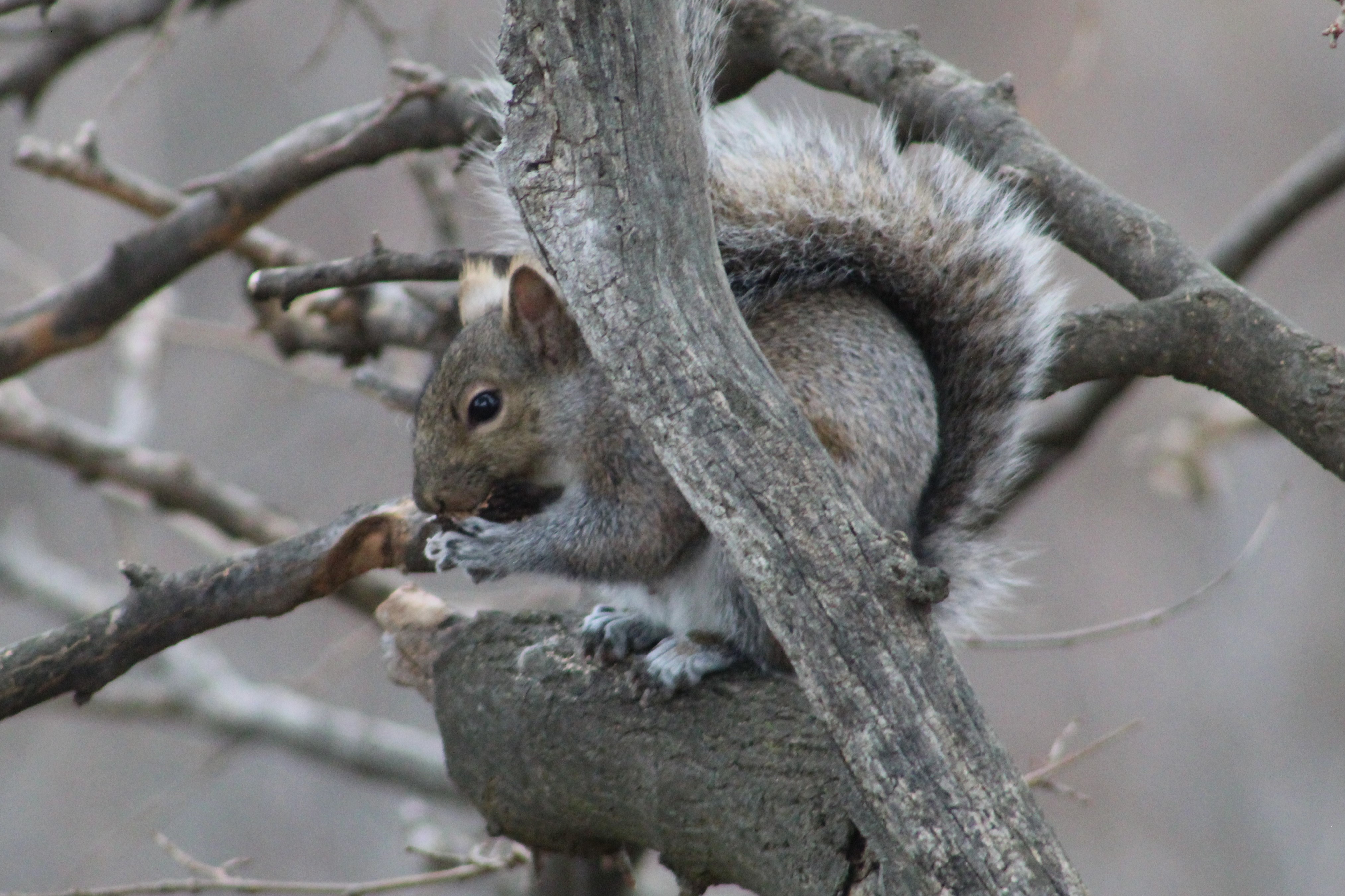
From this location on the top of the hill you are close to the old Mountain Sanatorium where they used to treat people with tuberculosis.  The sanatorium is now abandoned and most of the buildings have been torn down.  The Cross of Lorraine still stands at the top of the escarpment to mark the old hospital and it is visible from the trail below.  The gray squirrel has an average lifespan of 6 years if they make it past their youth.  Records show lives of up to 20 years in captivity.

IMG_8614

We followed the Robert MacLaren Side Trail along the top of the escarpment with the plan of taking the Chedoke Stairs back down to the Chedoke Rail Trail and from there to investigate a couple of local waterfalls.  From the trail you can see the top of Westcliffe Falls but the actual waterfall is hidden from view.  A little farther along you come to a spectacular view of Cliffview Falls.  The view from the top suggested that it would be worth the effort to follow the creek from the bottom of the escarpment back up to the bottom of the waterfall.

IMG_3040

The waterfalls are located at the bottom of the Chedoke Stairs.   There are two waterfalls that meet near the bottom of the ravine and share a lower falls.  The Lower Cliffview Falls are on the left and Lower Westcliffe Falls on the right.

IMG_8534

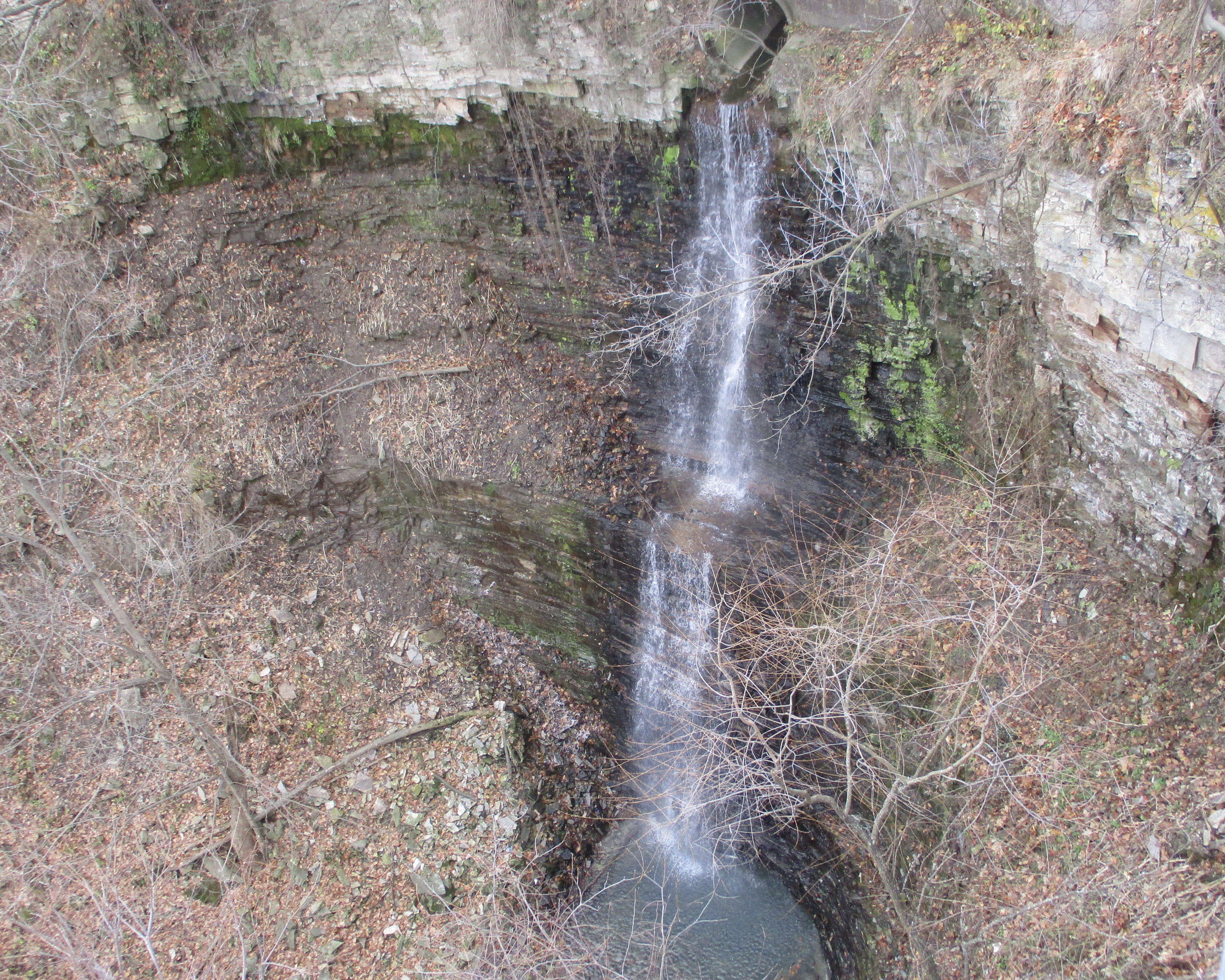
Westcliffe Falls is a 15-metre complex ribbon falls that is mostly hidden from the regular trails in the area.  However, you can climb past the lower falls and from there it is a short, easy climb to the main falls.  It is located in the ravine on the right above the combined lower falls.

IMG_8598

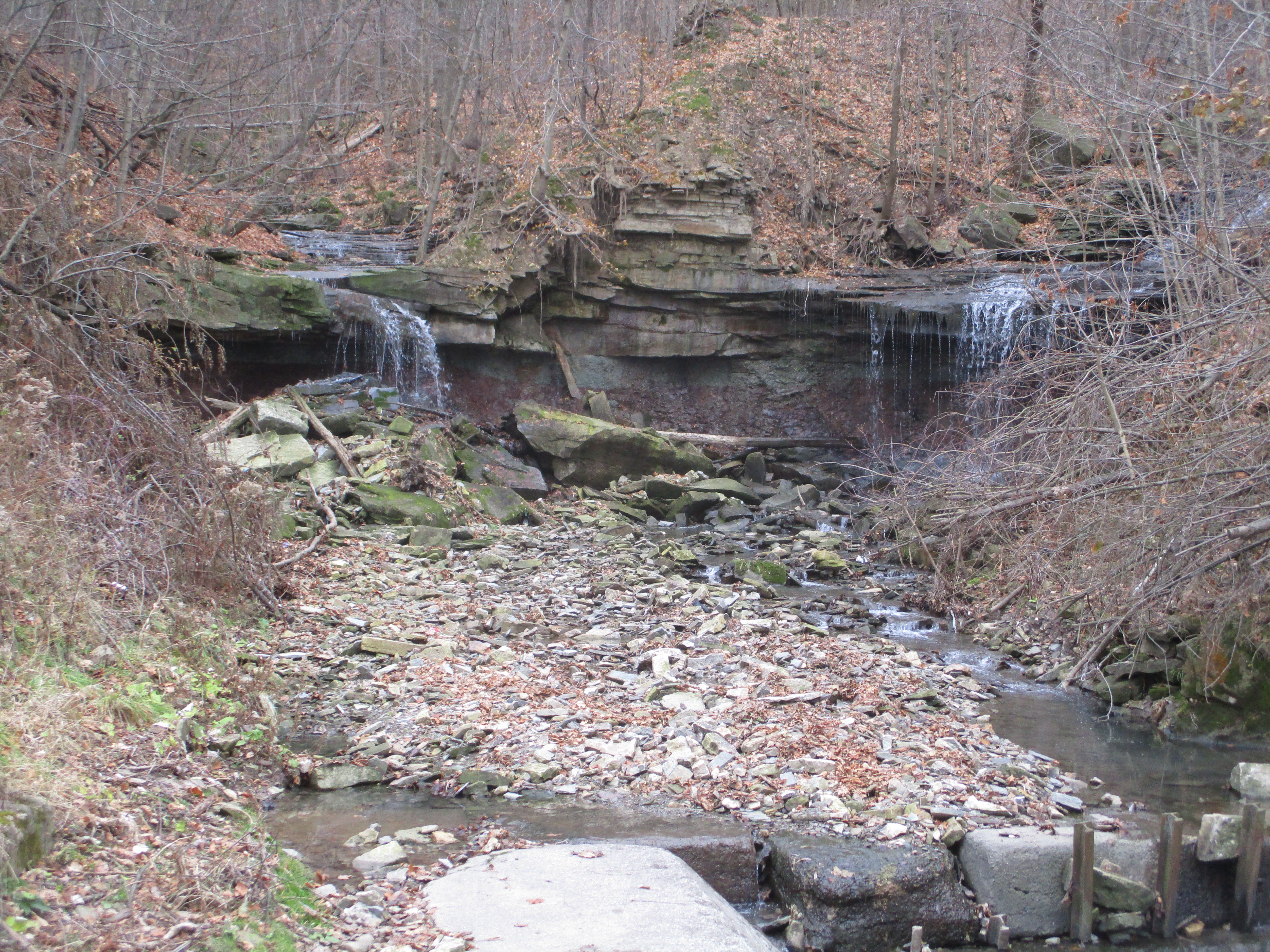
Cliffview Falls is 15 metres tall and is a terraced ribbon falls.  Both of these waterfalls are nice in spite of the low flow of water.  In the spring when the water is at its peak flow they are both likely to be quite spectacular, with Westcliffe being the more interesting of the two.

IMG_8603

Having climbed up the ravine to view the two sets of falls we returned to the car having fully enjoyed the day.

Further reading about local attractions near Chedoke Ski Hill:

Escarpment Stairs, Mountain Sanatorium, Chedoke Rail Trail

Google Maps Link: Chedoke Stairs 

Like us at http://www.facebook.com/hikingthegta

Follow us at http://www.hikingthegta.com

Follow us on Instagram
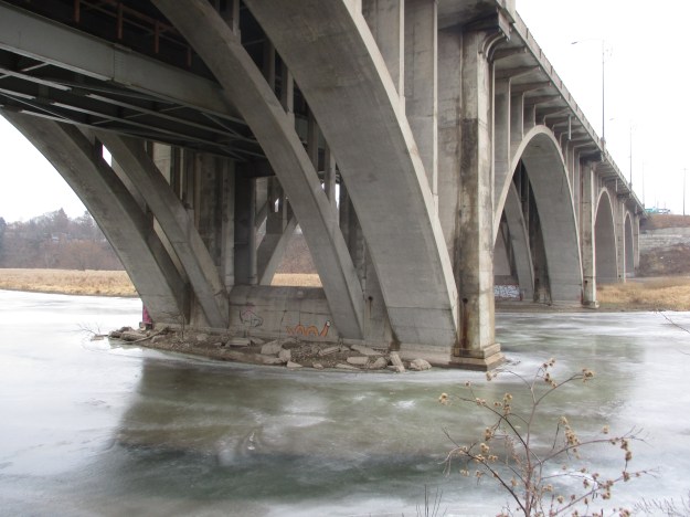
Wexford – Ghost Towns of the GTA

Sunday, November 24, 2019

The community of Wexford got its start around 1840 at the intersection of present day Lawrence Avenue and Pharmacy Avenue.  Richard Sylvester had arrived from Wexford County in Ireland and built The Rising Sun Inn on the south west corner of the intersection.  This became the nucleus for a small farming hamlet known as Hough’s Corners.  In 1865 Sylvester added a post office which he named Wexford after his home.  The community served the local farmers for the next 100 years with growth and little change.  After the Second World War, Toronto expanded rapidly and by the 1950’s the farms around Wexford fell to developers.  The little community has been lost with the exception of a couple of churches and a few homes.  These I have marked on the 1877 county atlas shown below.

Wexford map (2)

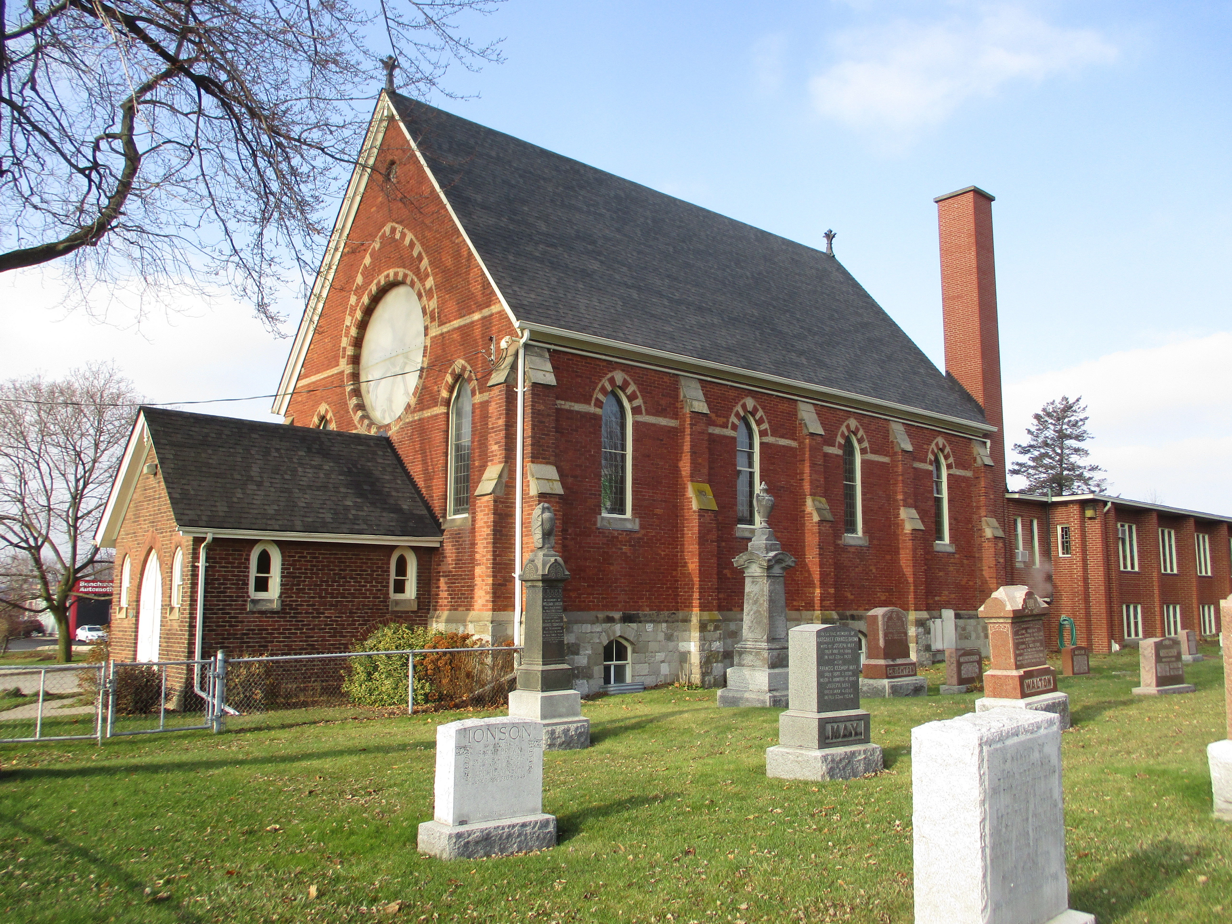
After meeting in homes for several years the Anglicans of Wexford decided to build a permanent church building.  They built St. Jude’s Church in 1848 on a small parcel of land that had been donated for the church.  It already included a family cemetery plot that would become the church plot.  The 20 foot by 20 foot church has seating for 60 and is the smallest purpose built church in the GTA.  The pews are small and it was described as seating for a “tight four” people.  The church originally had no basement and was heated by a pot-bellied stove but a basement was dug for a furnace in 1929.  Like the town, the church remained small and unchanged for a hundred years,  With the sudden growth of the surrounding community the membership jumped from 79 in 1950 to 1,000 families in 1958.  With this growth came a new church building in 1953 on the south east corner of the lot.  The little church has since been used by several small congregations who have contributed to the upkeep and restoration of the building over the years.  Many of the early pioneering families are interred in the cemetery around the church.

IMG_8489

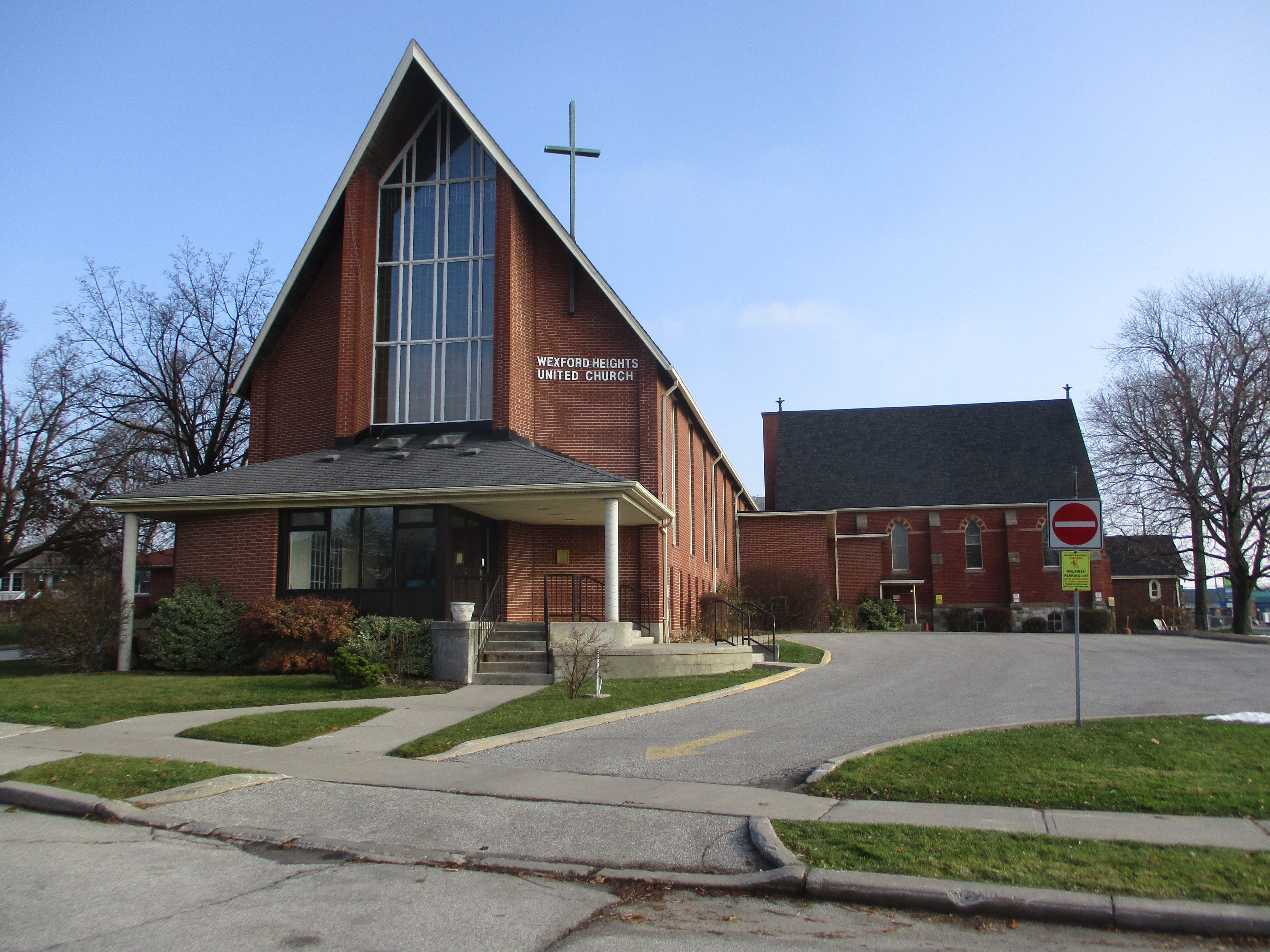
In 1842 a small wood chapel was built by the Primitive Methodist congregation.  They used the church until 1877 when it was replaced with the large brick building that stands beside the pioneer cemetery,

IMG_8498

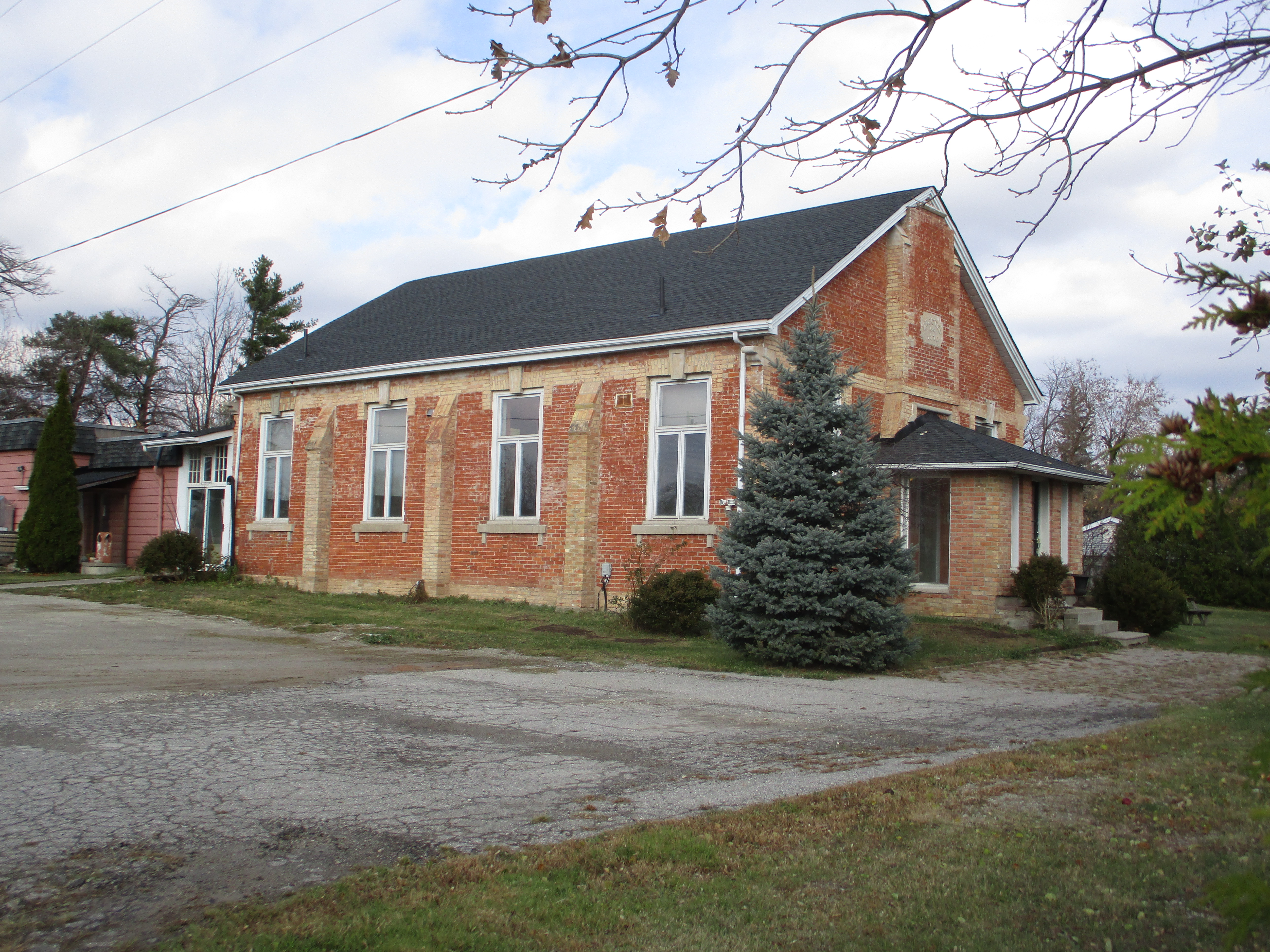
In 1925 they joined with the United Church of Canada but growth still remained slow.  It didn’t take off until the 1950’s when the area was built up.  Then the church decided to add two pieces between 1950 and 1960.  This summer the church closed after years of declining attendance.  Around the area there are several other churches who all seem to be doing okay.

IMG_8494

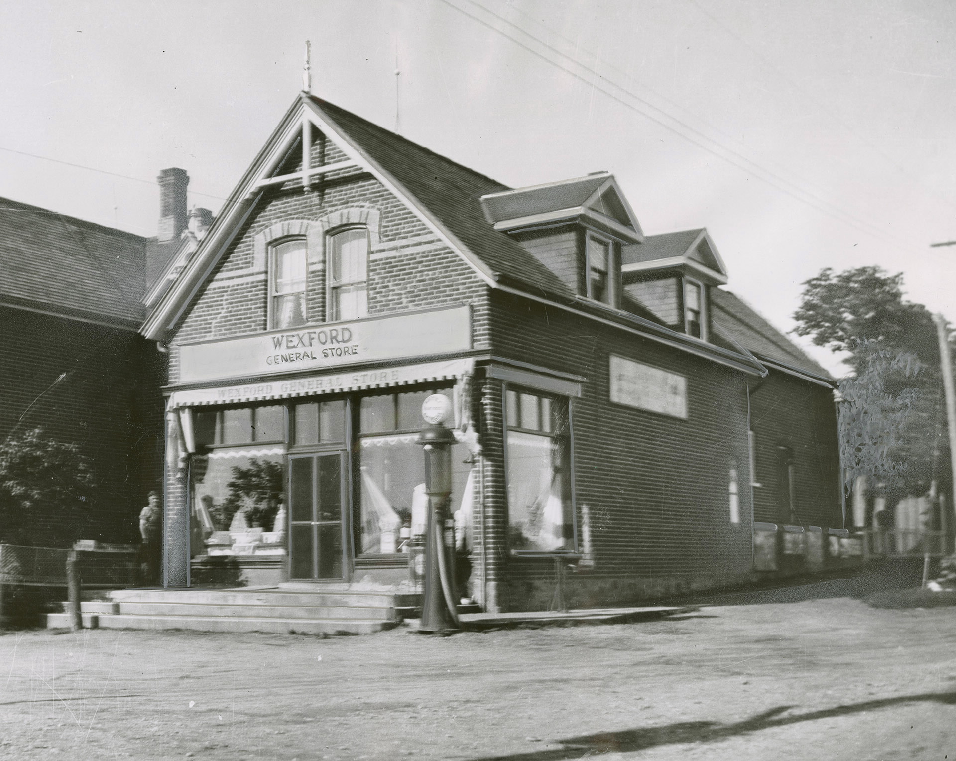
Wexford had all the amenities of a rural farming town including a blacksmith, a hotel and a post office in the general store.  The photo below was taken from the Toronto Public Library collection and is dated 1960.  This was taken just before the 1883 building was demolished to make room to widen Lawrence Avenue.

wexford 1960

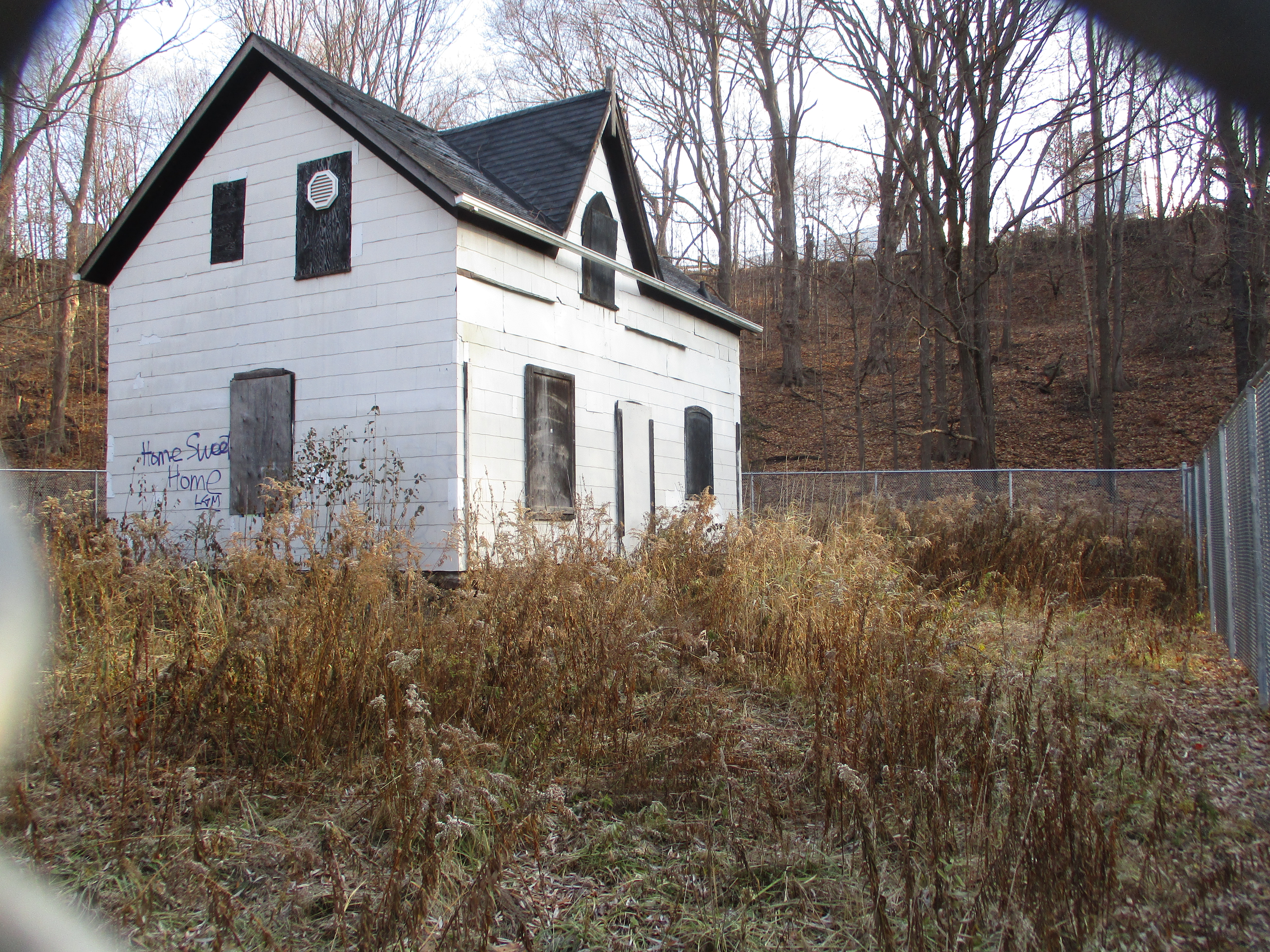
Just to the west along Lawrence Avenue stood a small industrial complex where some of the locals found employment.  Milneford Mills contained a woolen mill, dry goods store and wagon shop.  Milne House was built in 1871 and is one of the oldest examples of gothic frame architecture in the city.  The front porch which used to look out over the mills has been removed.  Now abandoned, it is intended to be restored eventually.

IMG_8475

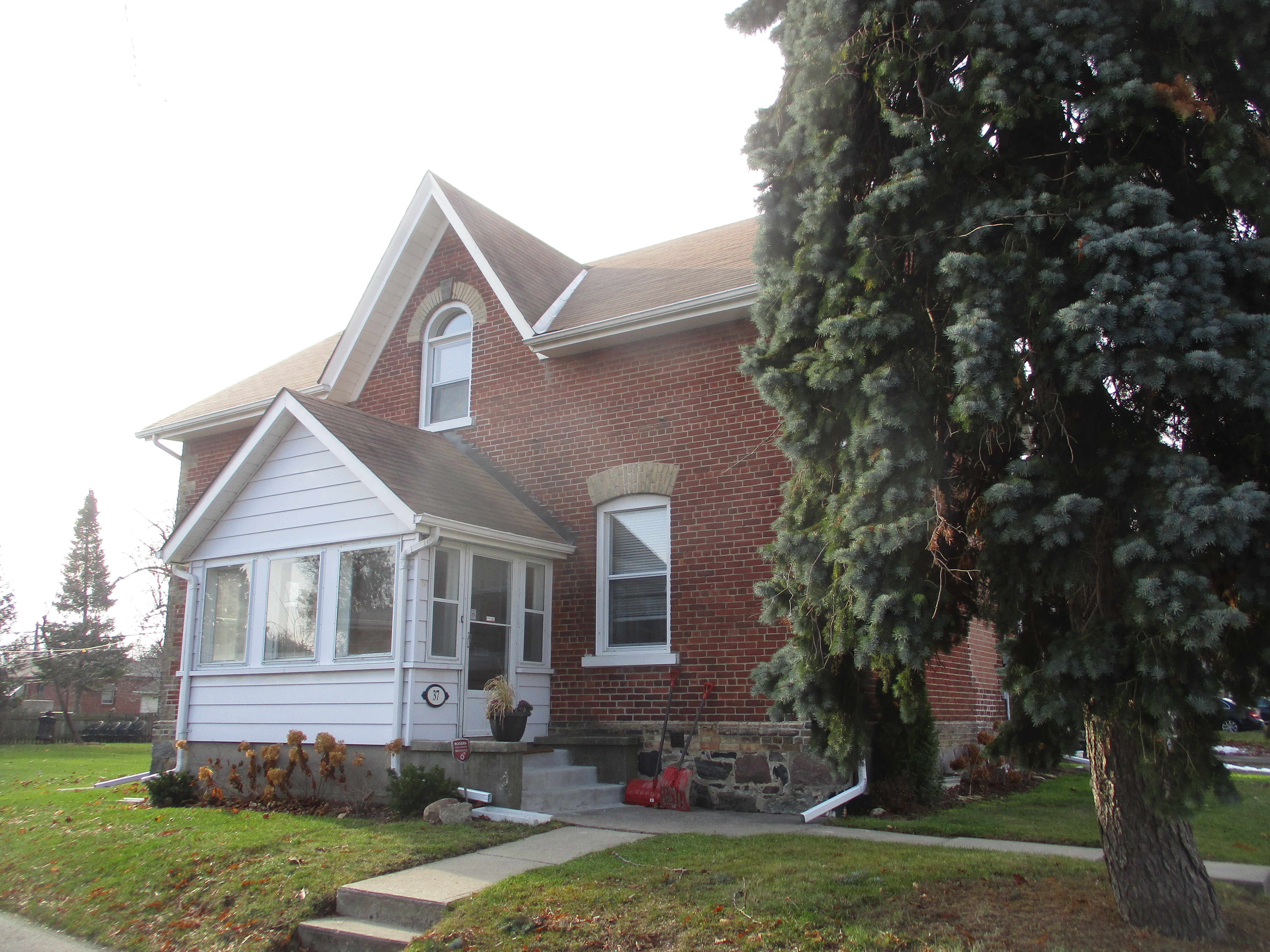
The house at 37 Kecala Road originally fronted onto Kennedy Road but has been swallowed up by the surrounding subdivision.  This house was built by John Patterson in 1858 and stood on his farm for the next century in isolation.  Today, it is a house in a subdivision that faces sideways to the rest of the homes because it doesn’t align with the new street pattern.

IMG_8518

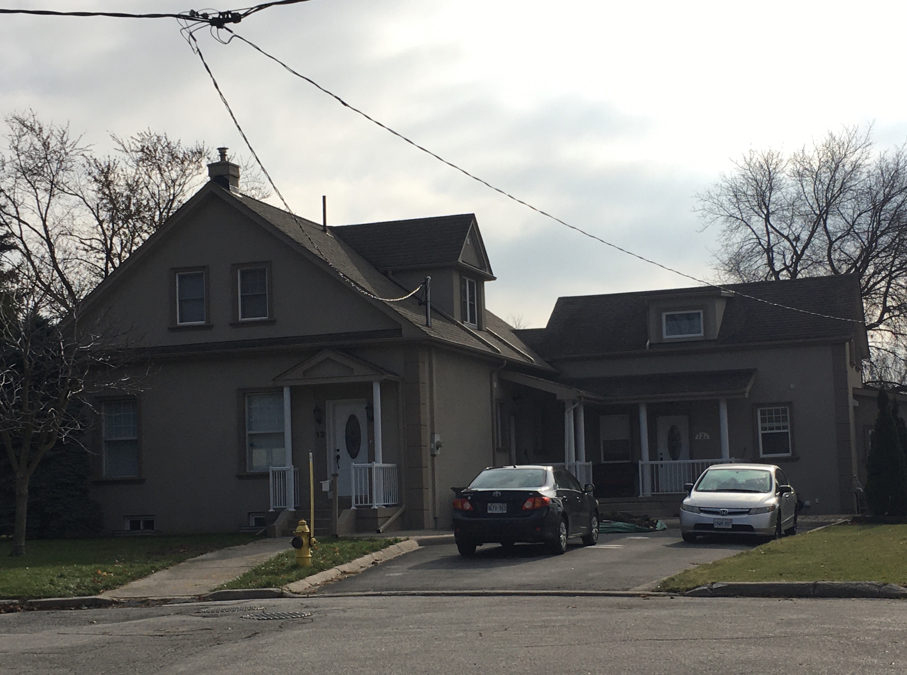
12 Iondale Place hides another historic house on a quiet street of cookie-cutter homes.  This house and the converted drive shed are also on the county atlas featured above as belonging to John Ionson in 1877.

IMG_2994

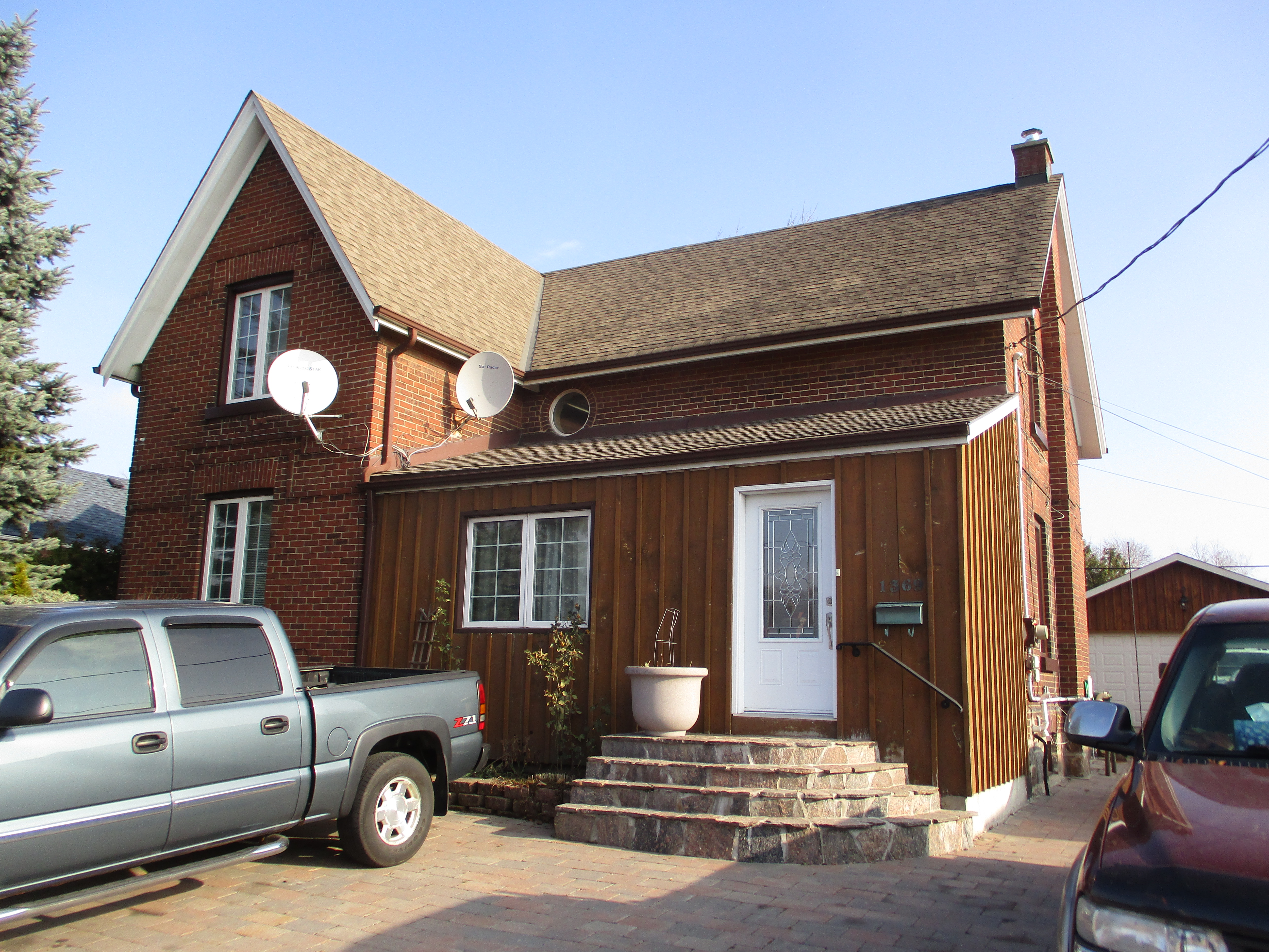
1369 Warden Ave is known as the Richardson House and it is another one of the homes seen on the county atlas. It has been given an historic designation as have all of the buildings featured in this post.  It stands among a street full of single story war time housing units.

IMG_8493

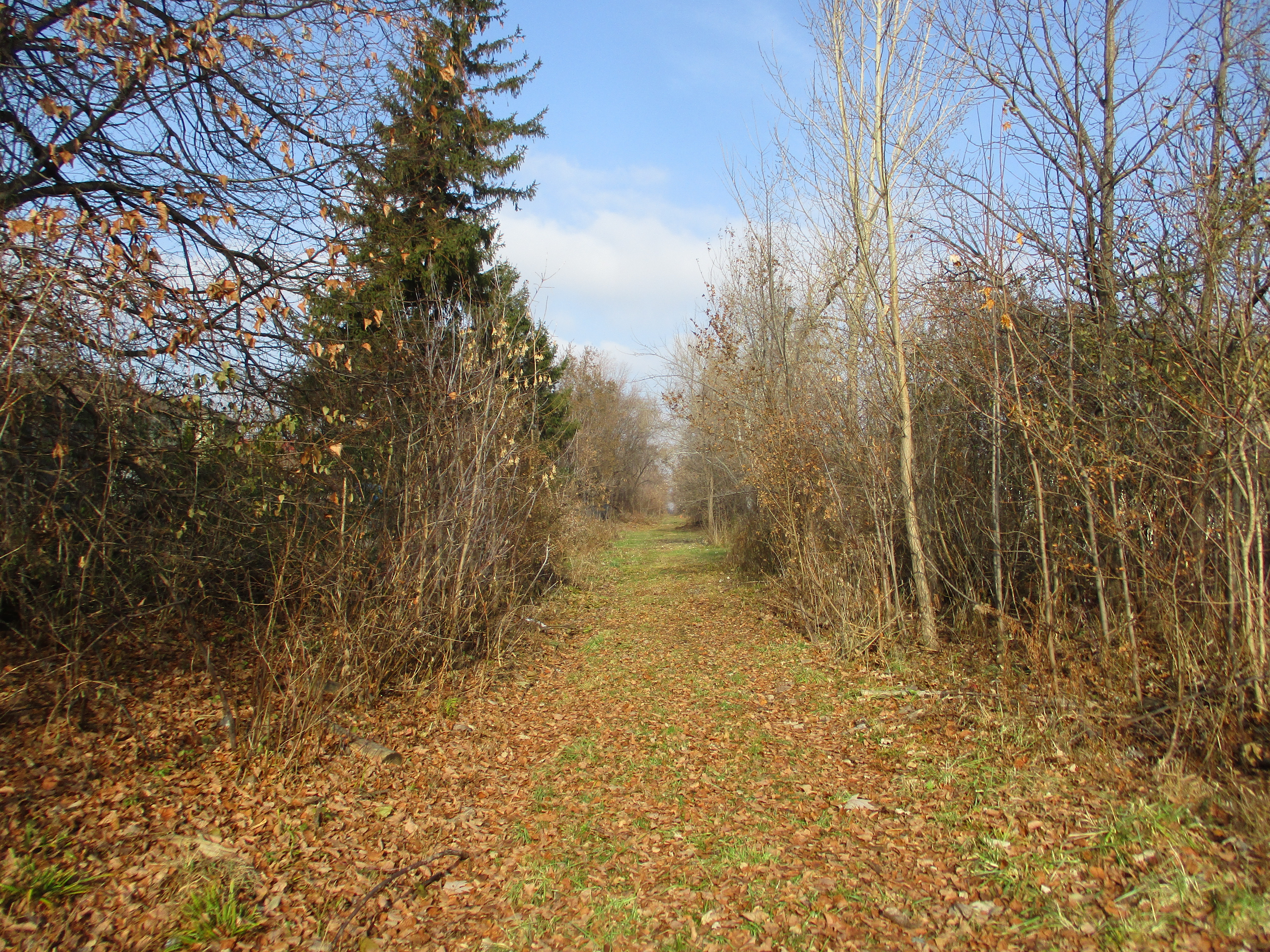
There is an abandoned rail spur that runs along the side of the cemetery at the Wexford Zion Church.  I chose to follow it a ways north to see where it went to.  I had previously explored the southern section as it followed the Underwriter’s Reach of Taylor Massey Creek.  This northern section ran for a kilometre north until it was buried beneath the parking lot for Costco.  A high fence kept me from investigation further.

IMG_8505

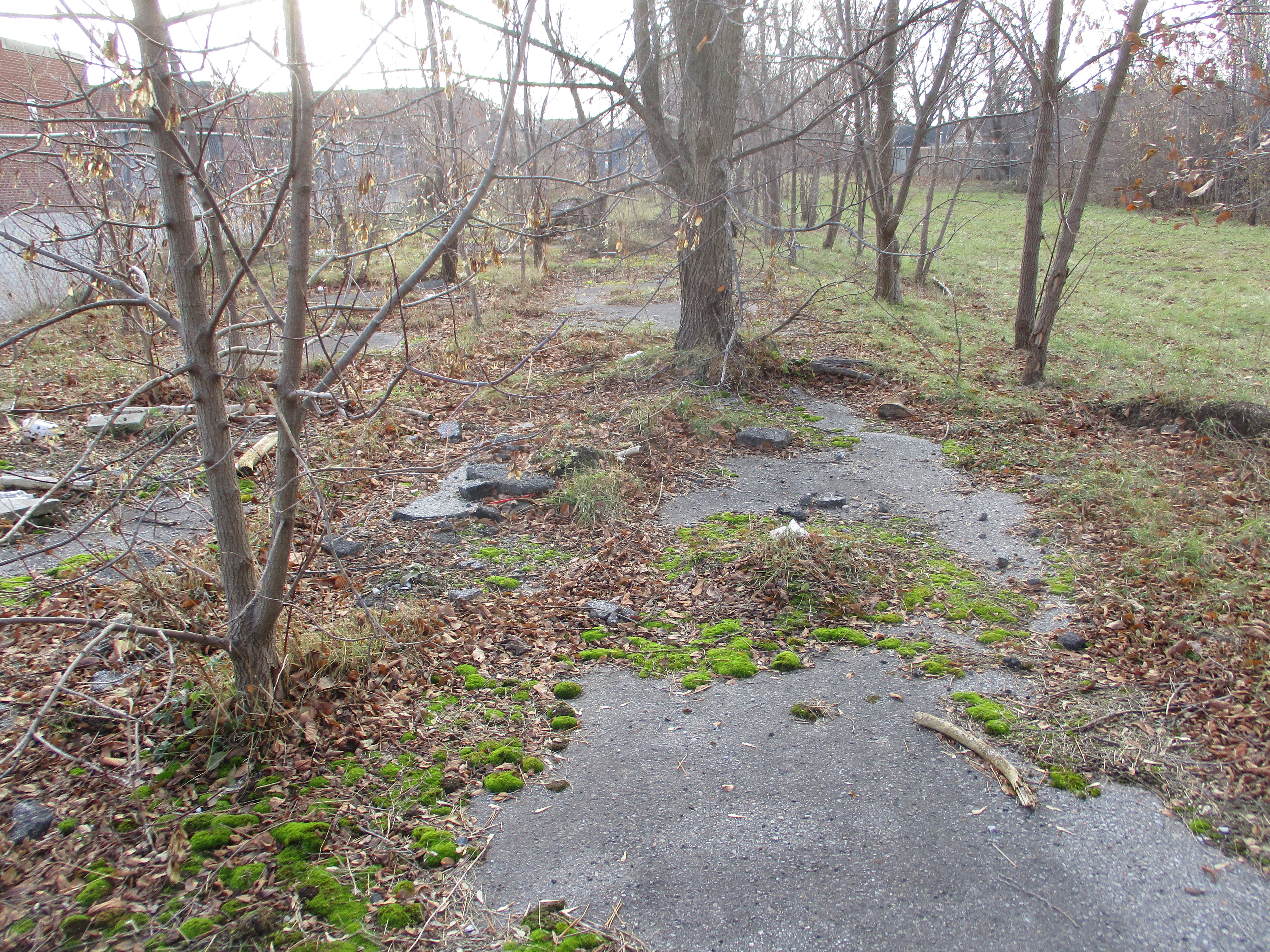
The spur line has only been abandoned for a short while but nature doesn’t care.  This section of pavement was likely a parking area but the trees have taken over pretty quickly.

IMG_8509

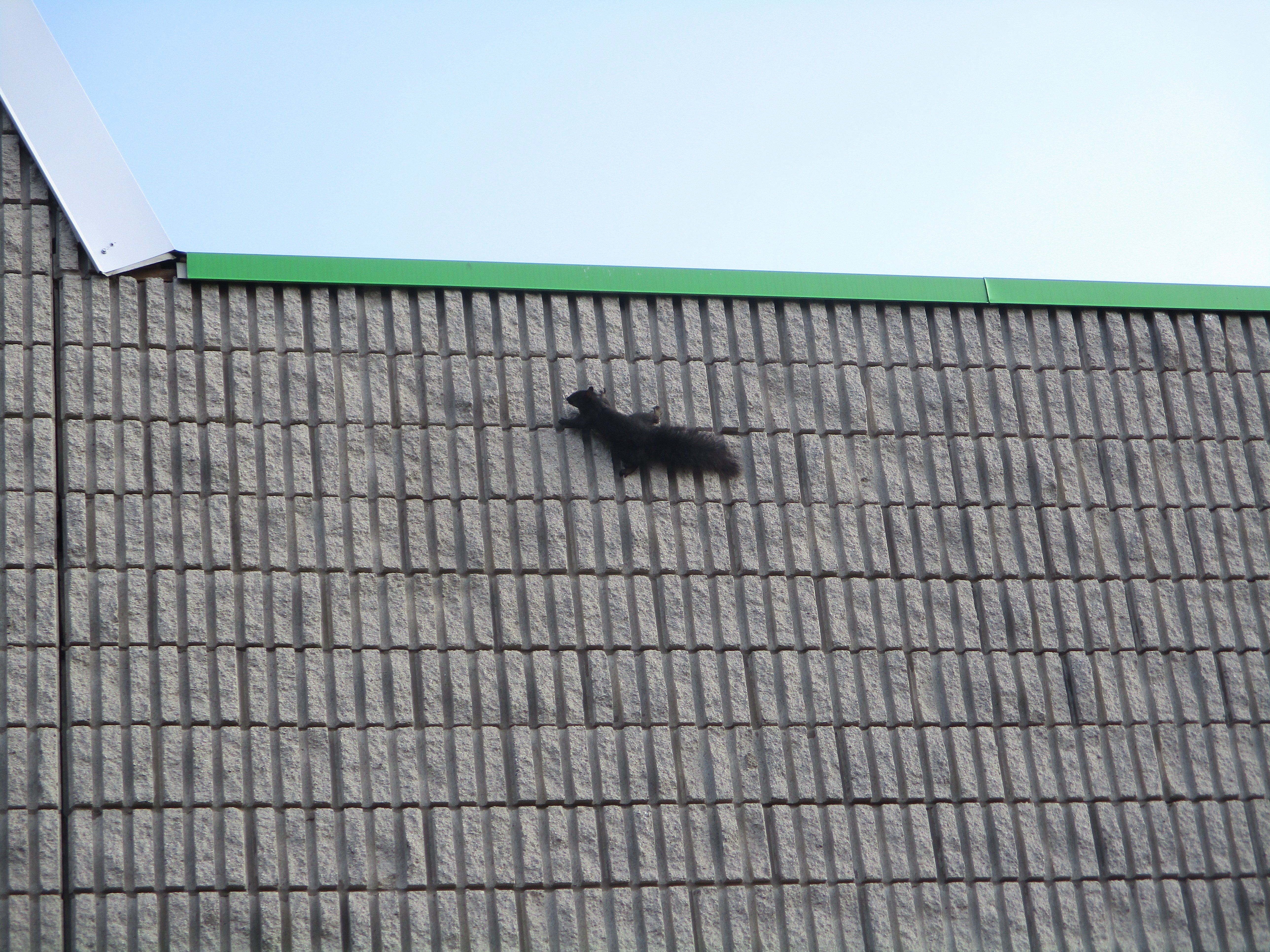
A black squirrel was trying to get away from me and ran up the side of this building.  When he got to the top he discovered that he couldn’t get a grip on the flashing along the top.  After a couple of attempts I chose to wander along so he could come down safely.

IMG_8516

60 Rowena Drive was home to the estate of the O’Connor Family who had invented Laura Secord Chocolates.  There’s a complete story on the candy as well as the home and it can be found here: O’Connor Estate.

IMG_8481

Wexford is only represented by a few scattered historic buildings but they are worth the effort to go investigate.

Google Maps Link: Wexford

Like us at http://www.facebook.com/hikingthegta

Follow us at http://www.hikingthegta.com

Also find us on Instagram

Emery Creek

Saturday, November 16, 2019

Long before the arrival of Europeans, the local peoples used The Carrying Place Trail north along the Humber River.  They crossed a pristine Emery Creek near today’s Finch Avenue and Weston Road intersection.  In the 1950s this area was built into an industrial park and the creek was buried in a concrete pipe.  Unfortunately the creek came to carry industrial contamination which included lead, zinc and copper.  During large rain events sewage was also carried directly into the Humber River.  A recent project to improve the water quality is the result of over twenty years of work by local environmental and residential groups.  We decided to investigate the results and so we took advantage of parking at Habitant Arena from which we set off on the west side of Weston Road.

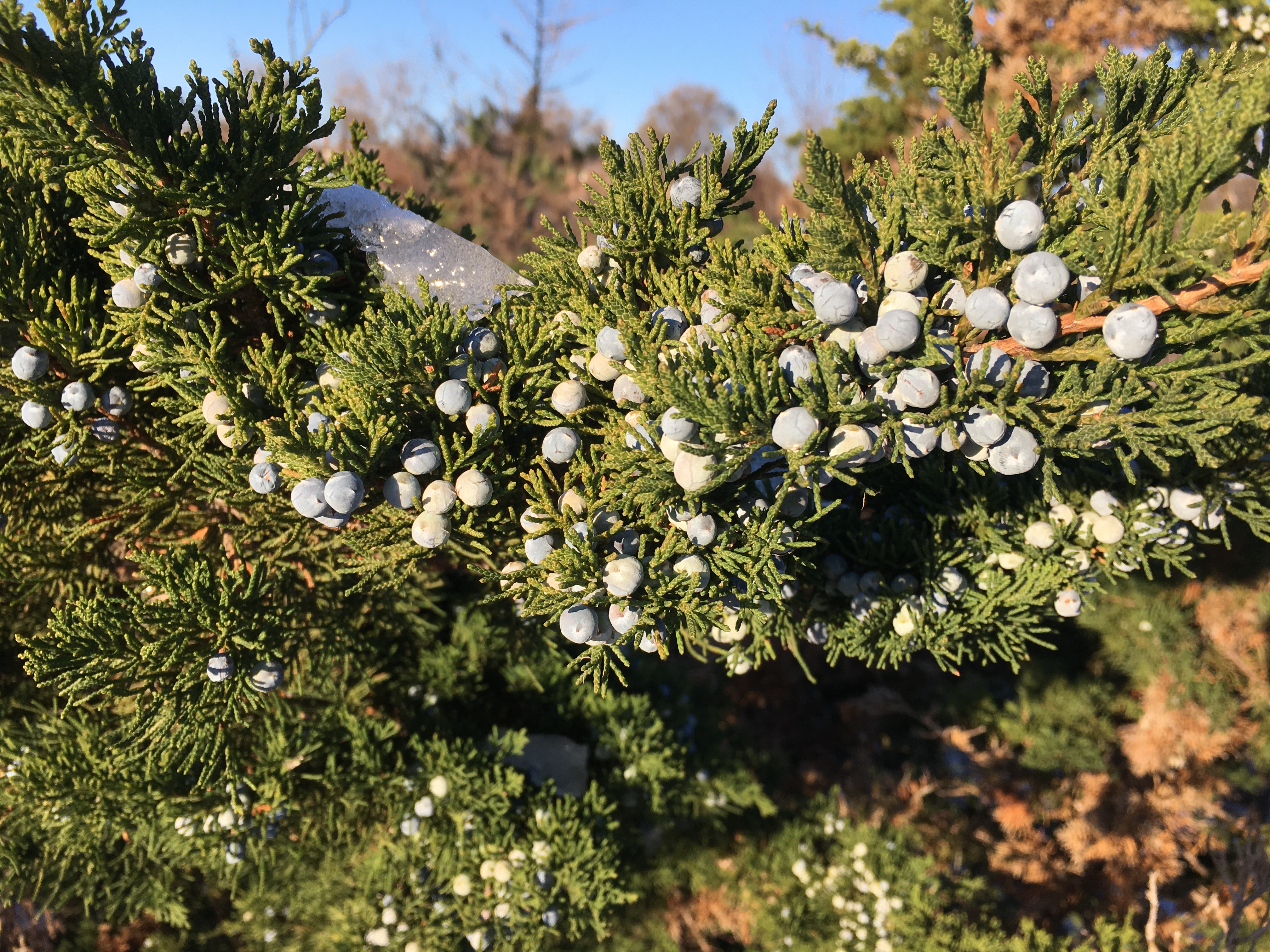
Eastern Red Cedar have a three year cycle.  Their fruit begins as a flower in the first year.  It then turns into a green berry for the second year and ripens into a blue berry in year three.  The berries are harvested and dried after which they turn black.  They are used as a spice and high in vitamin C.  They may also help fight cancer because they are high in antioxidants and flavoniods.


IMG_2932

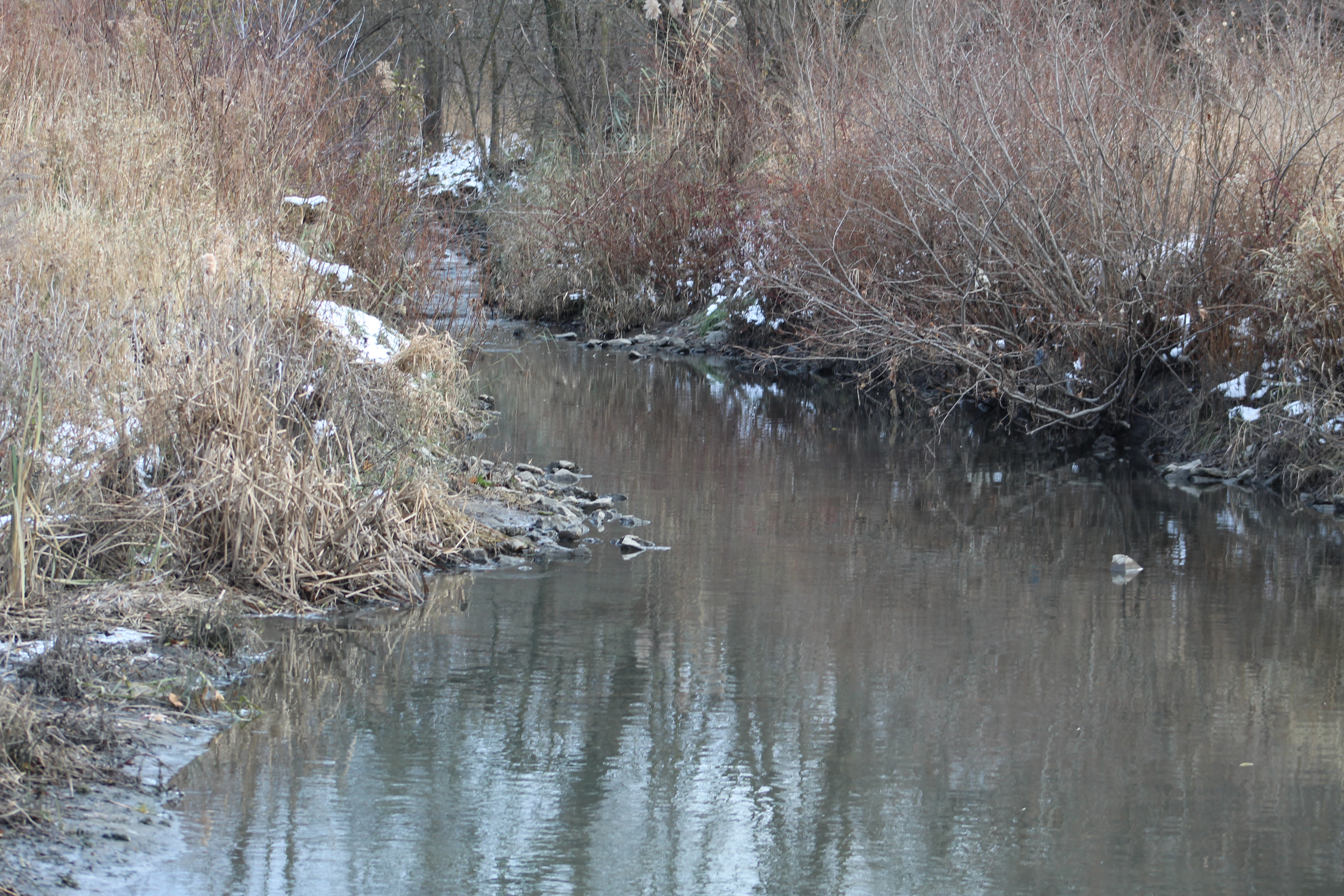
North of Finch Avenue the headwaters of Emery Creek are buried under the industrial sprawl that became its poisoning.  Once it flows under Finch it passes behind a four tower residential complex before emerging back into daylight.  Emery Creek briefly flows in a naturalized watercourse before it reaches the storm water management ponds.

IMG_8464

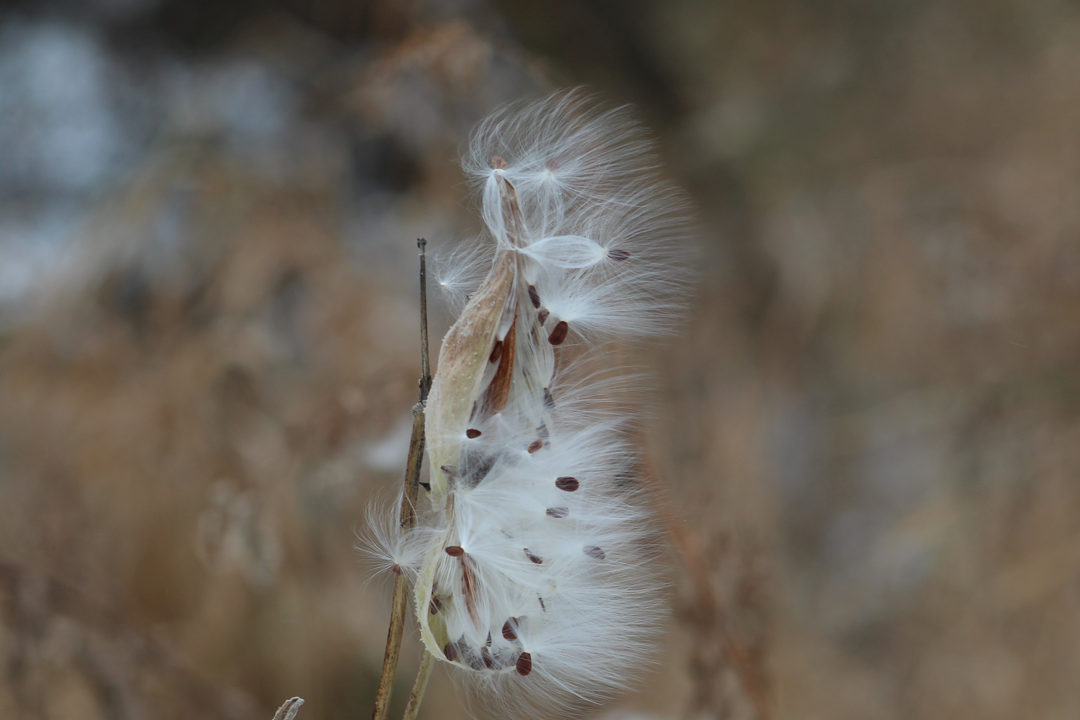
Milkweed seeds are blowing in the wind.  The little parachute that carries the actual seed is known as the pappus.  When attempting to grow milkweed on your property as an aid to monarch butterflies it is recommended that this part be removed.  You can then disperse them on some gently disturbed soil without fear of them blowing away on you before they germinate.

IMG_8490

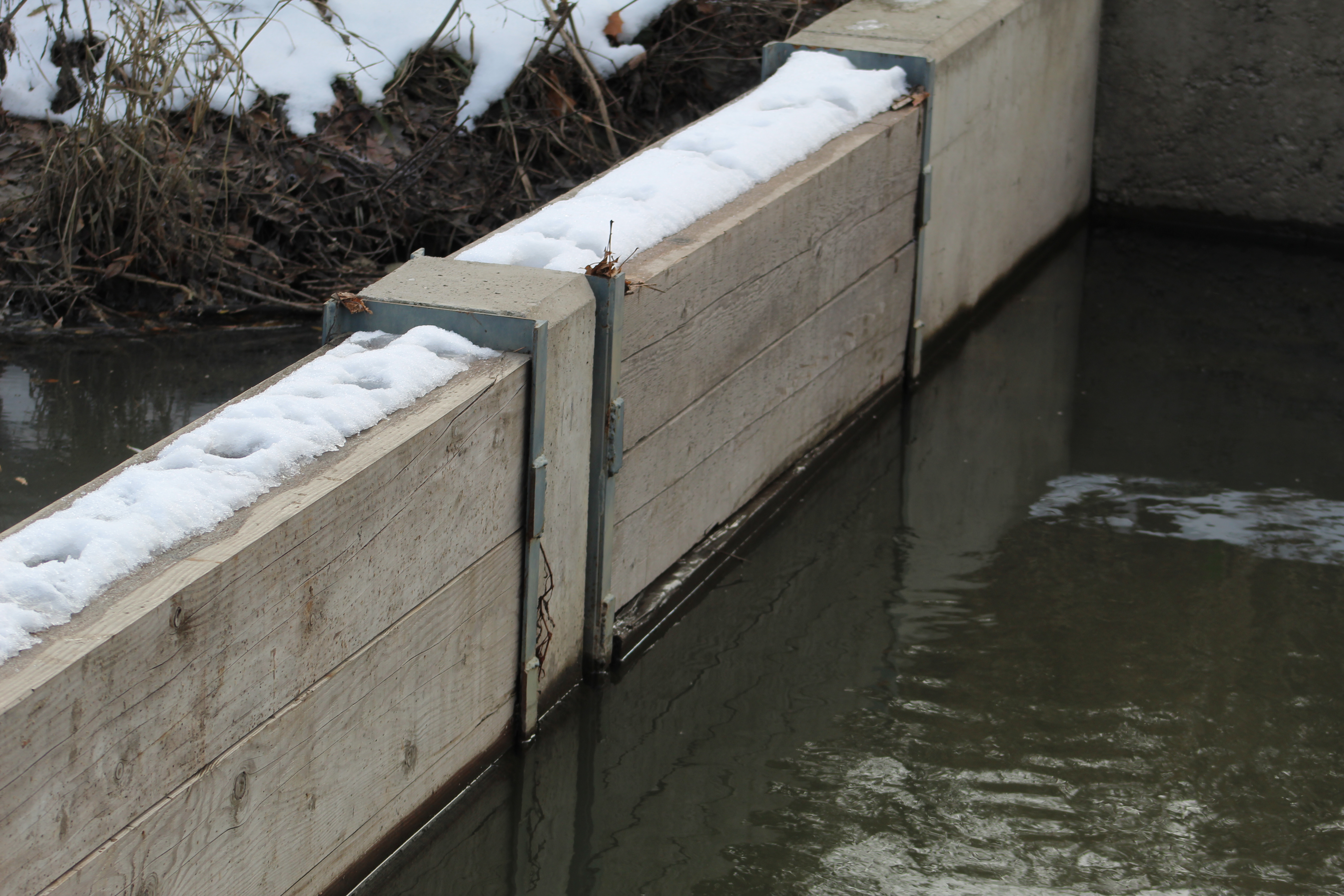
The health of a river begins in the tributaries and so a $14 million dollar project was devised to use natural processes to remove and contain the main pollutants from Emery Creek.  Starting in March 2016 three storm water management ponds were constructed beside Emery Creek.  The plan is to clean the water before it is discharged into the Humber River.  The first pond is designed for sedimentation and the bulk of solid particles are removed here.  The water then flows through a short pipe into a shallow pond where the remaining heavy metals are removed.  The third pond is the biggest one and the fine particles are removed here before water is discharged through a pipe into the Humber River somewhat upstream from the original confluence of the two.  The concrete weir that diverts the waters of Emery Creek into the first pond was cast in place but includes a wooden section that allows for moderation of the water flowing into the ponds.

IMG_8465

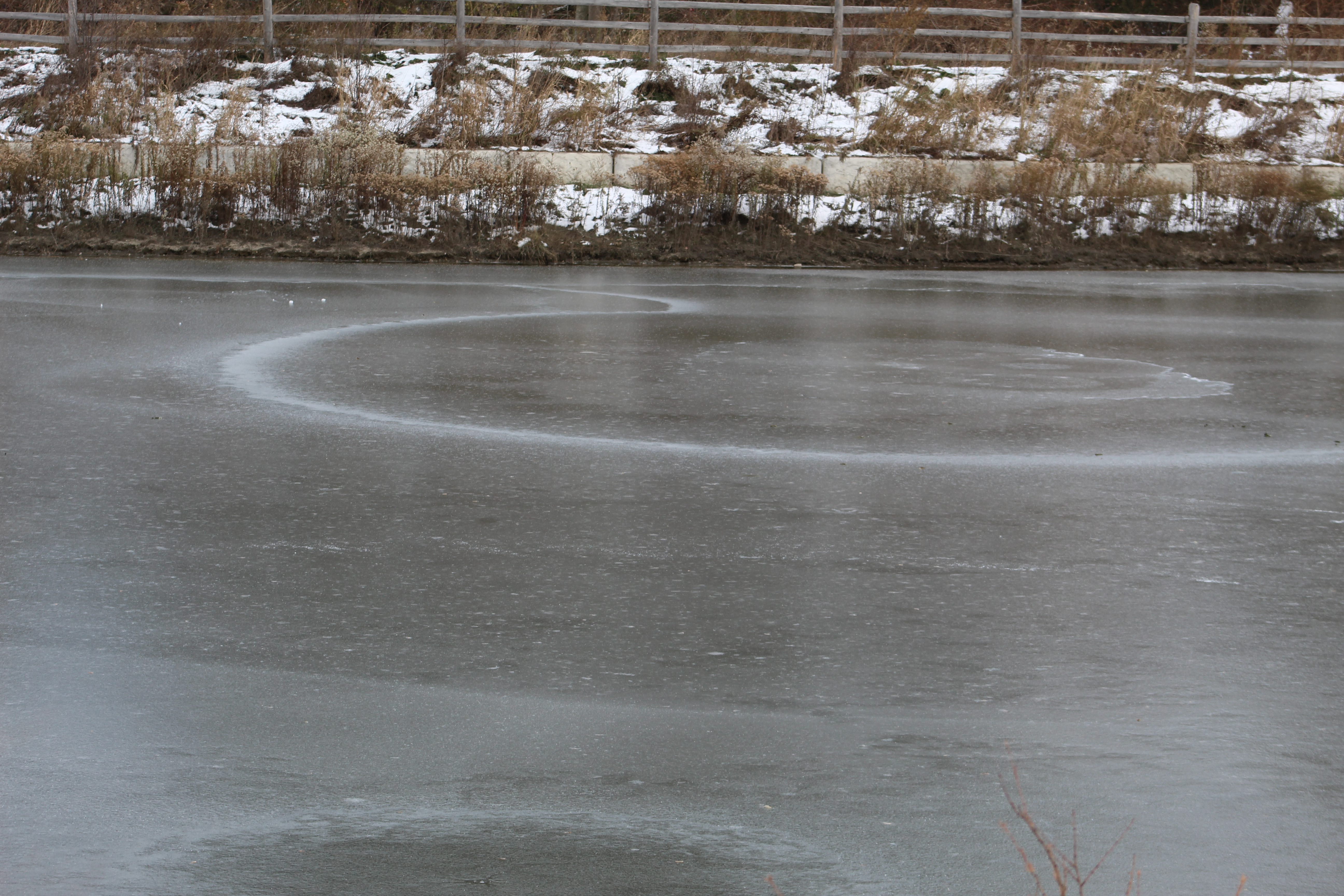
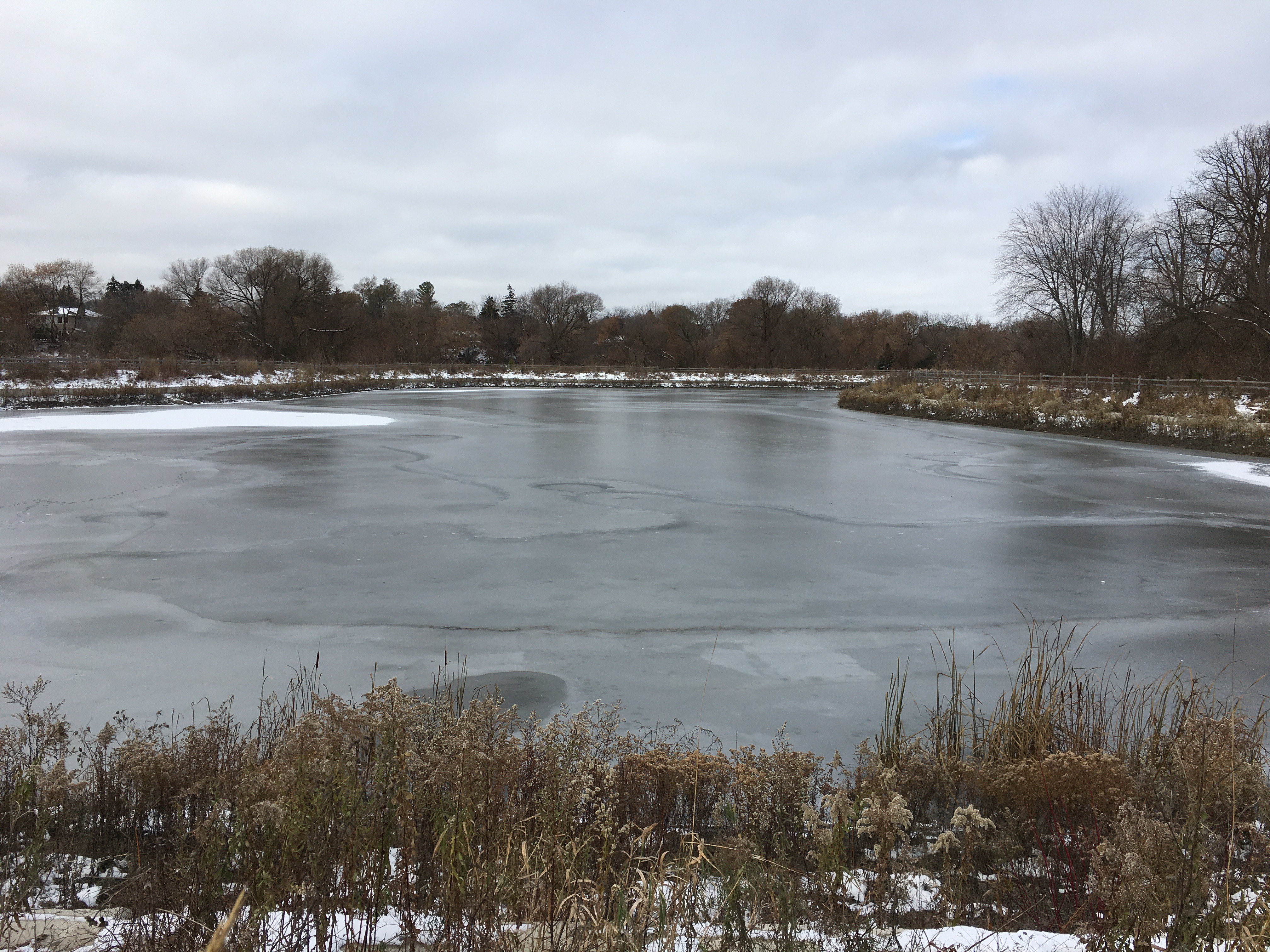
In spite of the fact that it is mid-November the water in the three ponds had frozen over.  There are sometimes interesting patterns in the ice and these can take the shape of a circle.  Ice circles form in slow moving water as it reaches freezing temperature.  They usually occur where there is a bend in the water flow that causes an eddy.  The water on the surface continues to move in the direction of the eddy as it freezes and this causes the ice circle.

IMG_8470

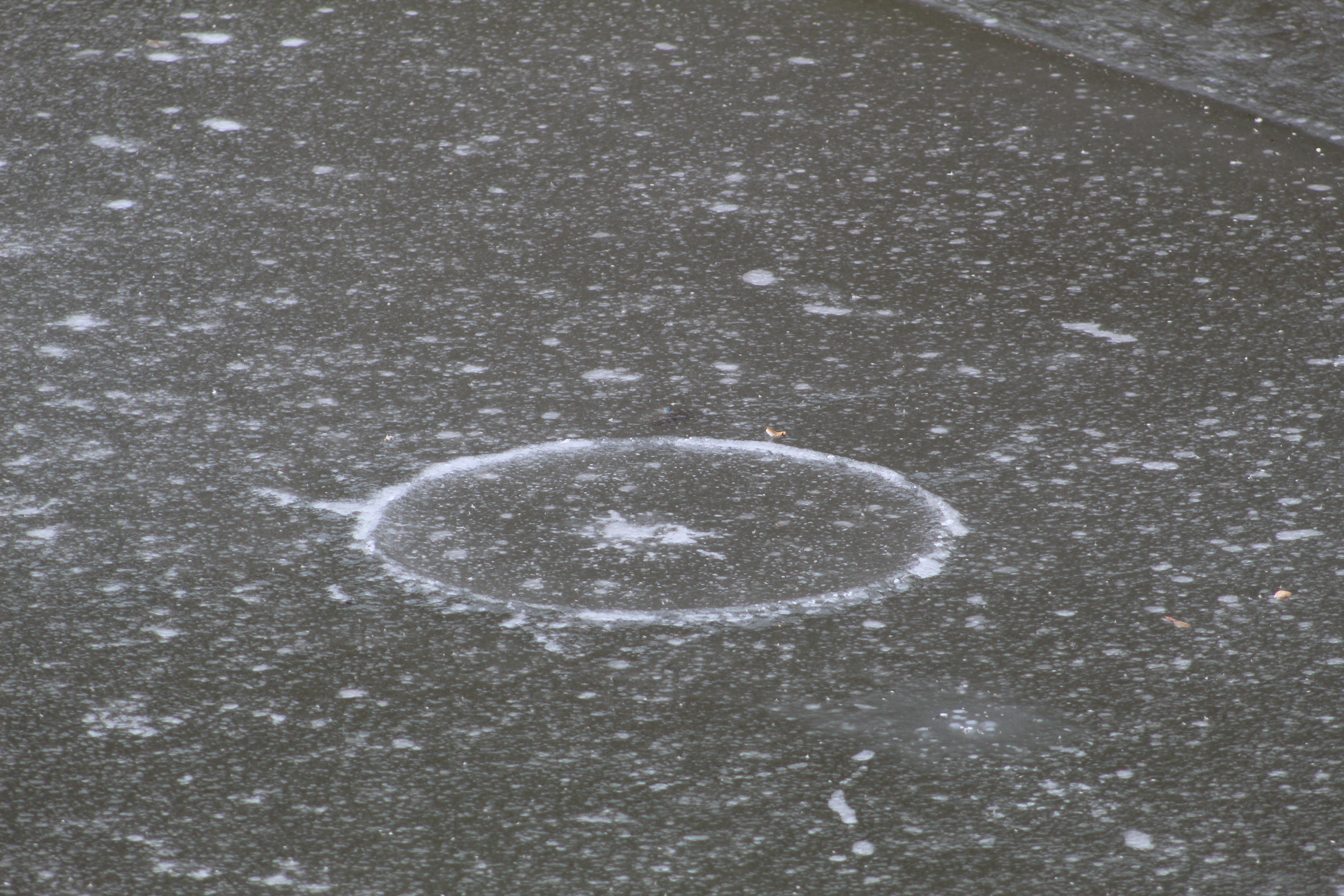
If the rotational shear force is great enough the ice circles can cut away from the surrounding ice and form ice discs.  These discs have been observed as large as 50 feet in diameter.  The new ponds on Emery Creek have set up the slow moving water patterns to allow for sedimentation of solids in the water before it is discharged into the Humber River.  This appears to have also set up the ideal conditions for ice circles to form.  This one below looks like someone was getting ready for a faceoff in a hockey game.

IMG_8468

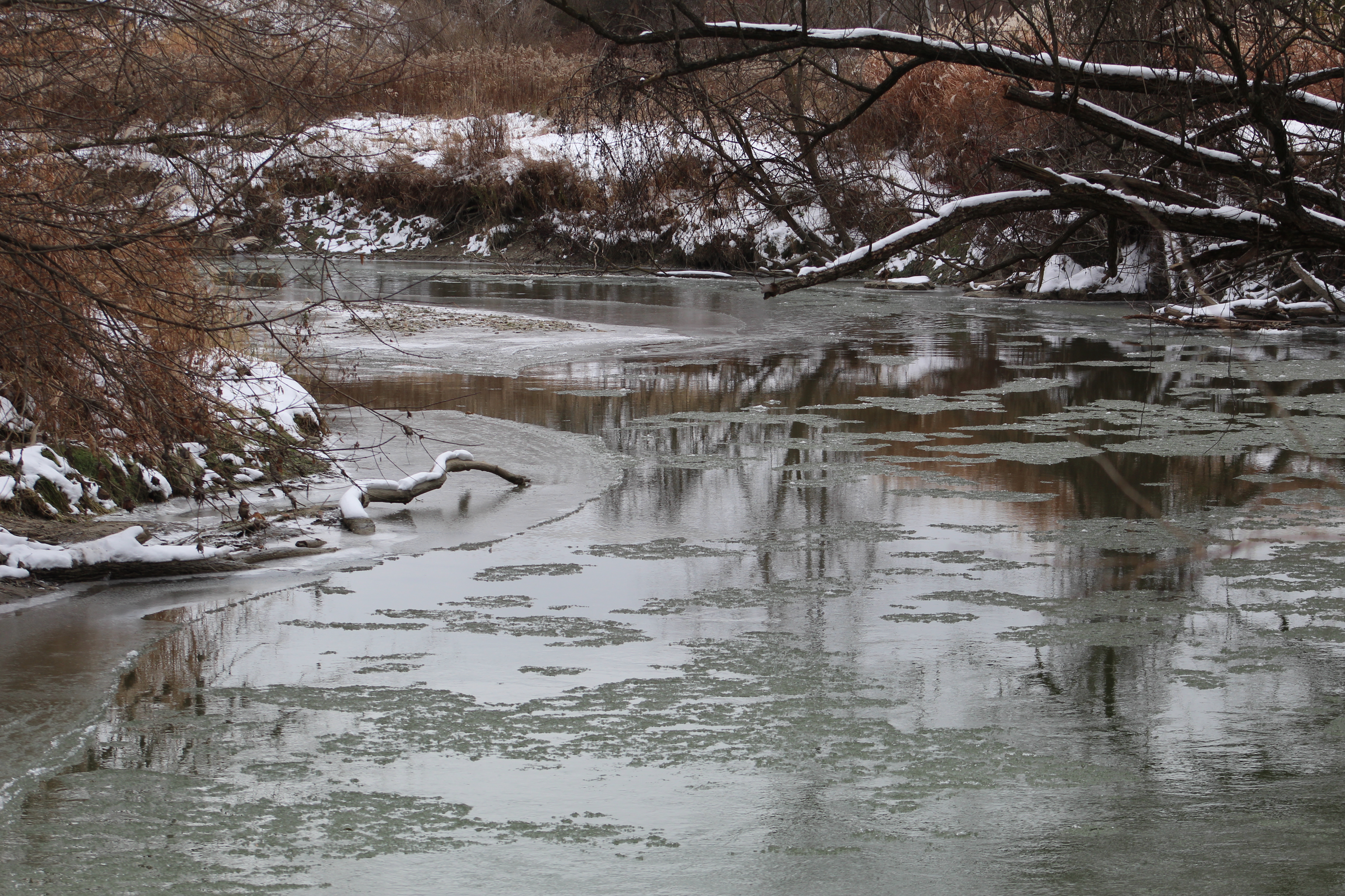
The Humber River was in the process of slushing over with ice forming along the edges where the water is moving slowly or sitting in pools.

IMG_8492

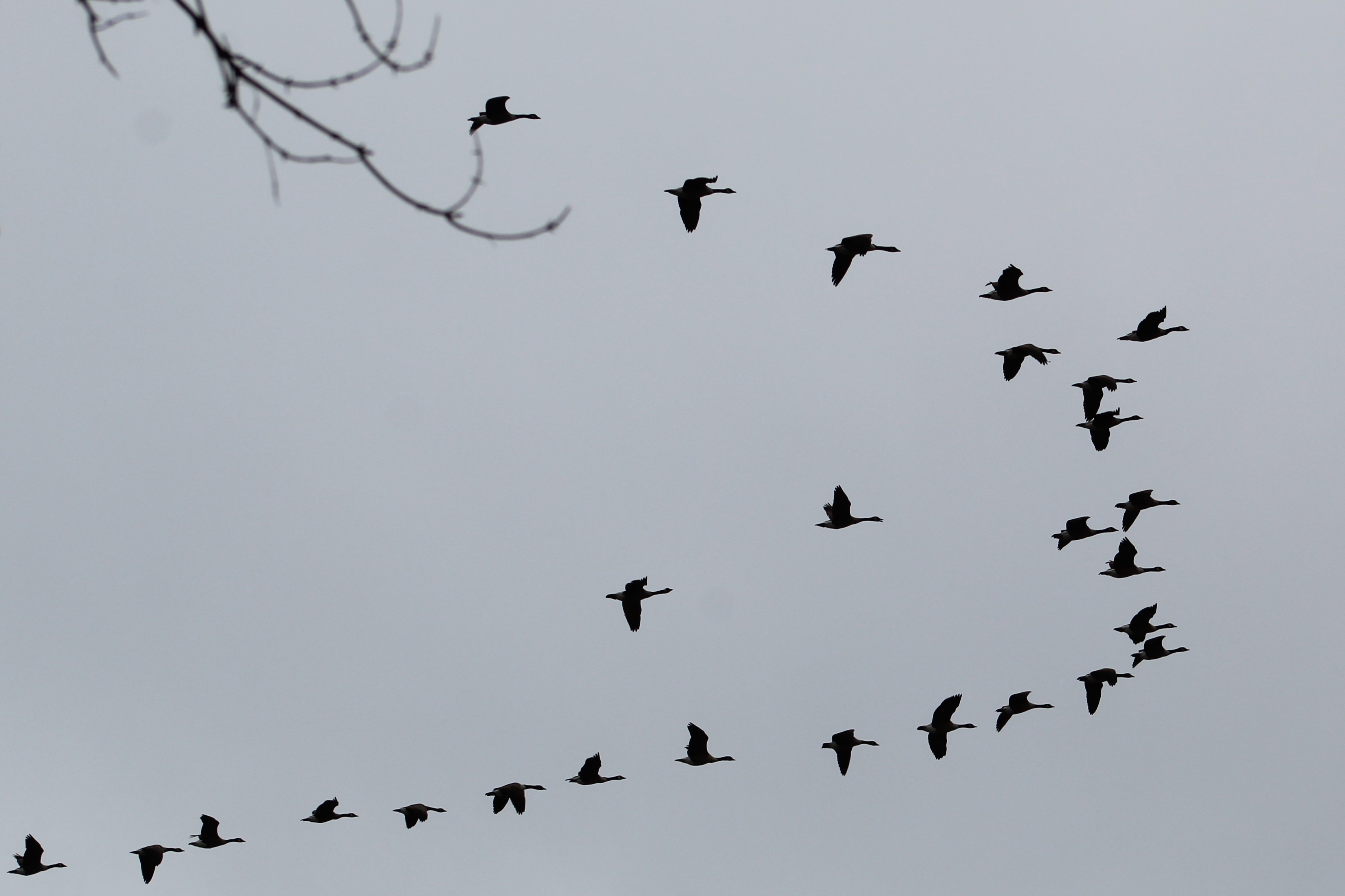
Not everyone is willing to hang around and look for food when they require open water to dig for water plants..  Most of the Canada Geese have formed into skeins and flow for easier foraging grounds.  A group of geese in flight is also known as a team because they place the weakest ones behind the rest to take advantage of the air currents generated by the ones in front.

IMG_8498

The ponds and trails around them were pretty quiet this morning but are perhaps enjoyed a little more in the summer sunshine.

IMG_2933

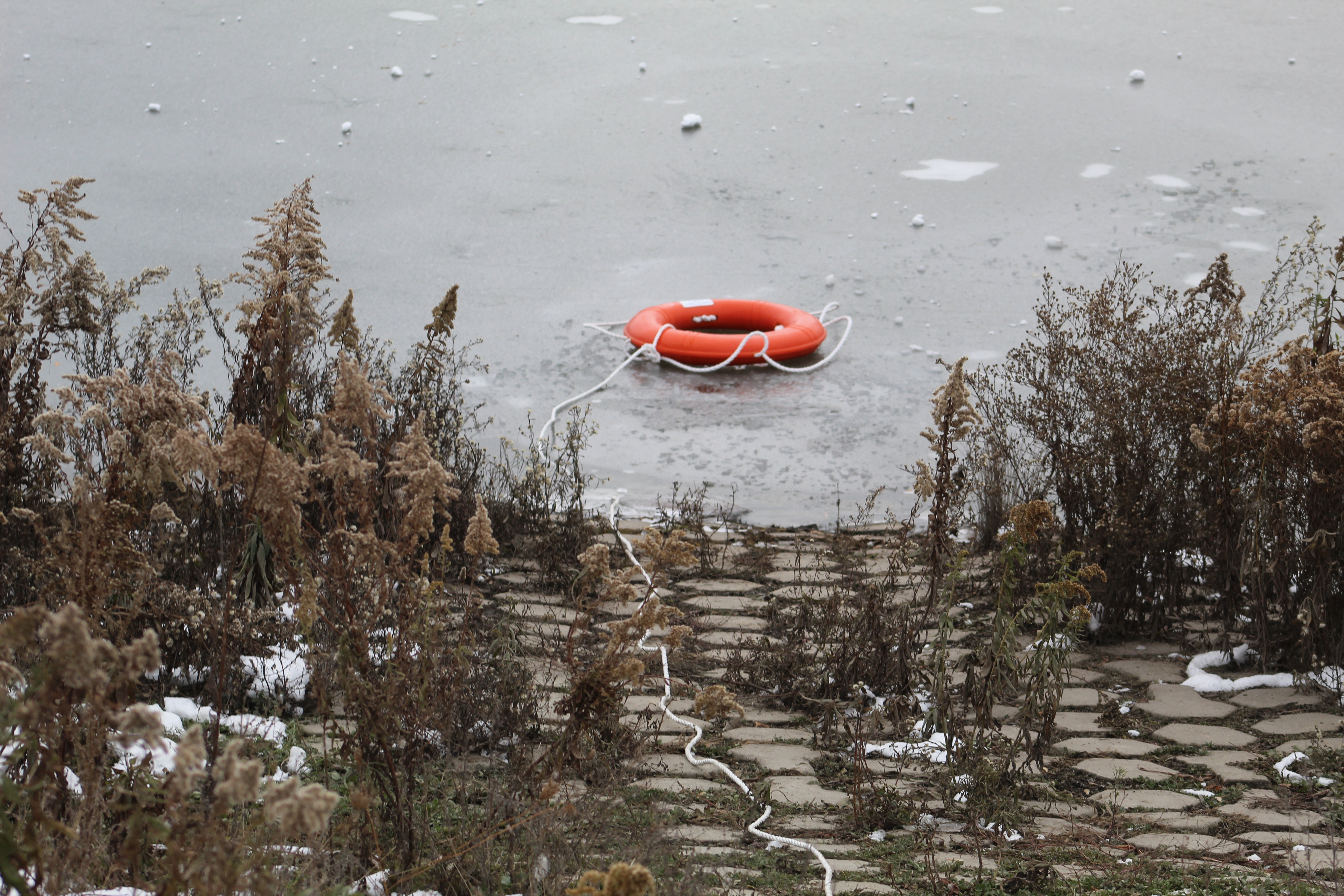
Someone has thrown the life preserving equipment into the pond where it is now frozen in place.

IMG_8500

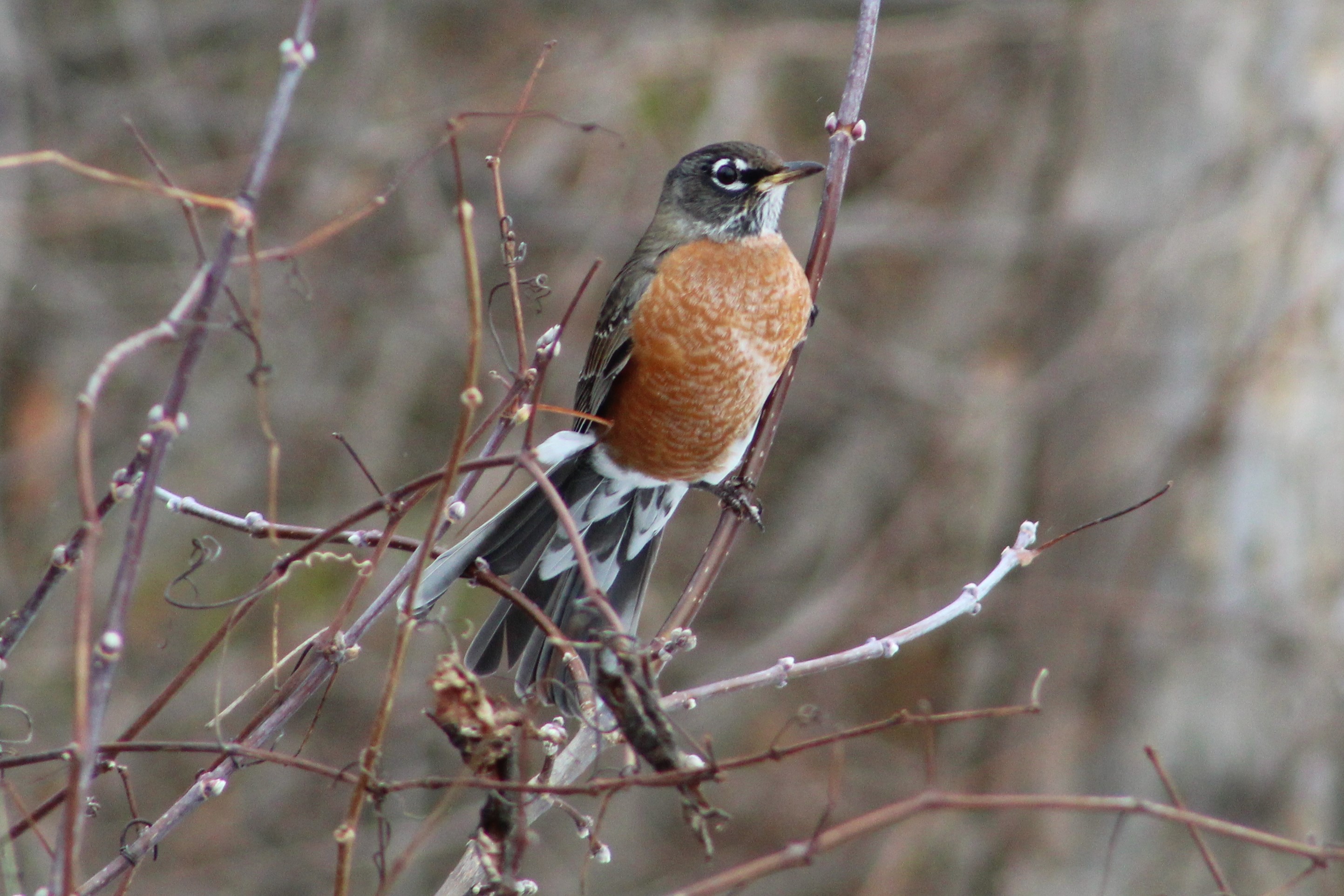
Not all robins migrate south for the winter and seeing them in the colder months is becoming more common.  Robins move around in response to food rather than temperature.  Birds that move south follow their ability to collect worms and other insects for food.   In the winter robins switch their diet to fruit and the bulk of them move to places where there are sufficient berries for everyone.  The ones that stay behind move around as the sources diminish in each area.

IMG_8510

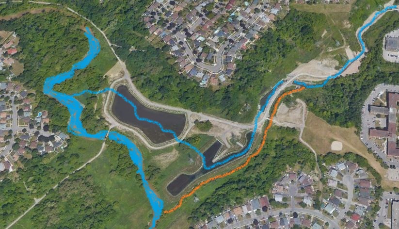
This view from Google Earth shows the area as the area looked in 2002.  Emery Creek flows into the Humber River from the right hand side of the image.  In its original creek bed the watercourse followed the southern embankment of a much wider ravine.

Emery Creek 2002

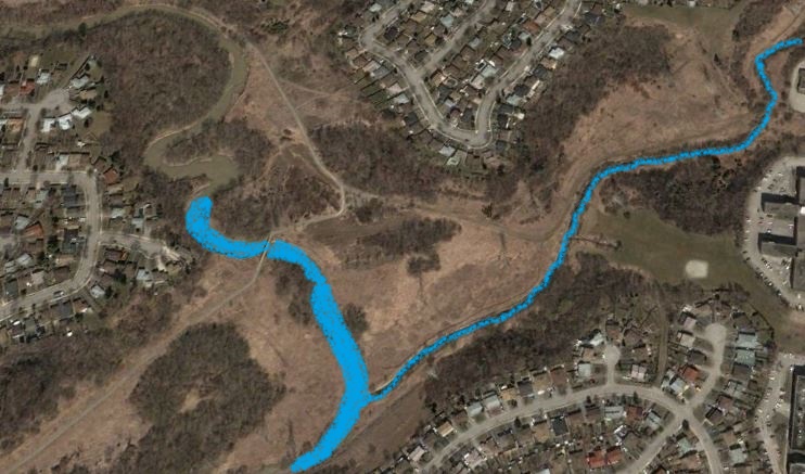
By 2019 Google Earth is showing a greatly altered geography.  The creek has been diverted through the three new ponds and now enters the river farther north.  The old creek still has a minimal flow of water that gets over the diversion dam and keeps it from becoming stagnant.  The abandoned portion of the old creek has been coloured in orange.

Emery 2019

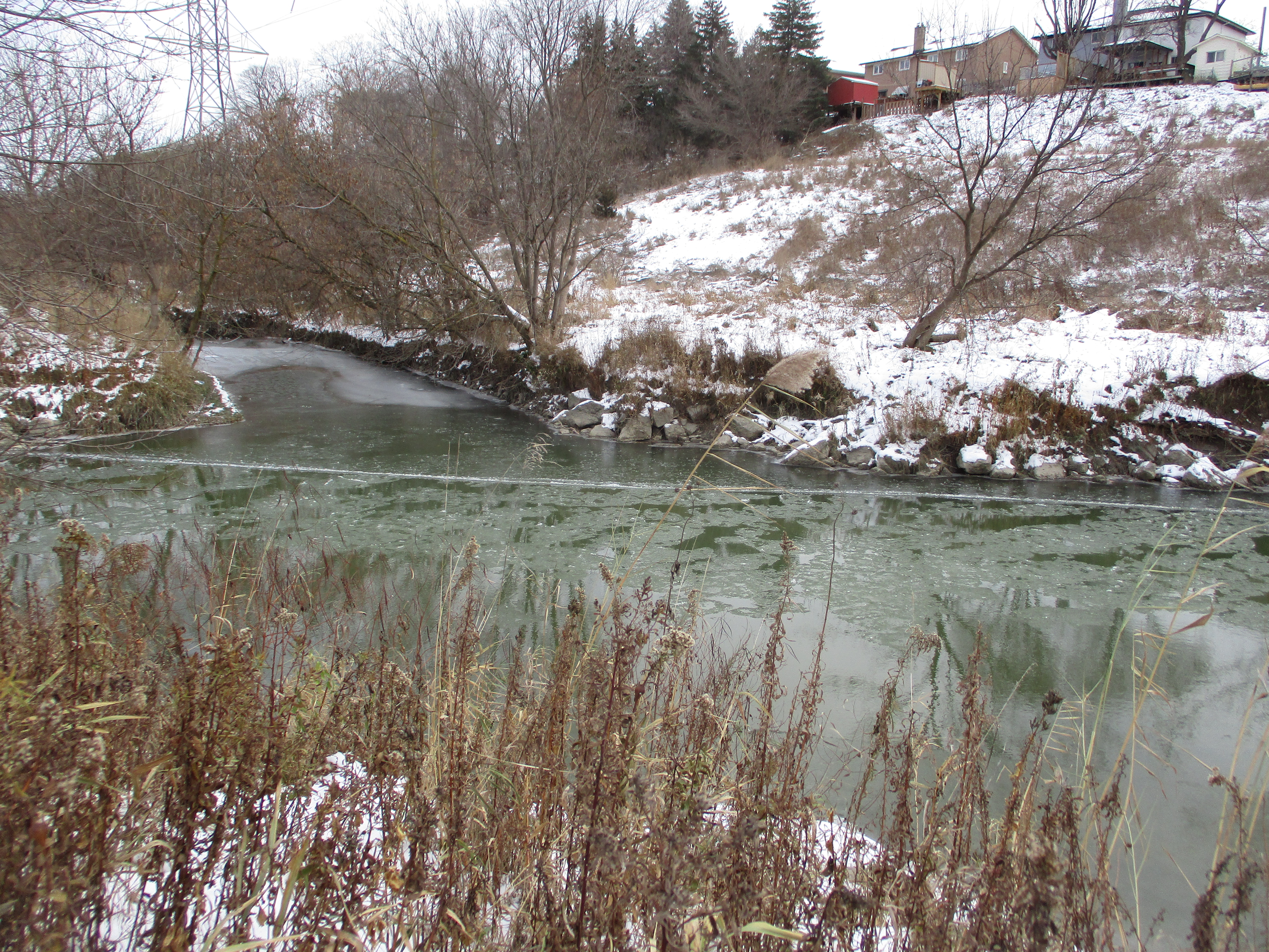
From the opposite side of the Humber River we were able to locate the original mouth of Emery Creek.  The water coming out of here is moving very slowly compared to the main river and you can see a line of ice forming across the mouth of Emery Creek.

IMG_8466

The engineering work has paid off in that the water that enters the Humber River is a lot cleaner than it was before.   Given time, the new ponds will become home to their own ecosystems and the disruptions will be a thing of the past.

Google Maps Link: Emery Creek

Like us at http://www.facebook.com/hikingthegta

Followus at http://www.hikingthegta.com

Also follow us on Instagram

Hornby – Ghost Towns of the GTA

Saturday, November 9, 2019

Beginning in the 1830s the area north of Oakville was opened for settlement and the community of Hornby found itself becoming an important stop on the trip into town.  Hotels were opened and in 1850 Trafalgar Road (7th Line) was planked as far north as Stewarttown with a toll station in Hornby.  However, by 1877 the railway had bypassed the town and Milton had been named as county seat.  Hornby began to decline back to a county village.  Today there isn’t much of the community that was named after Hornby Castle in Yorkshire but we went to see what could be found and photographed before it  disappears forever.

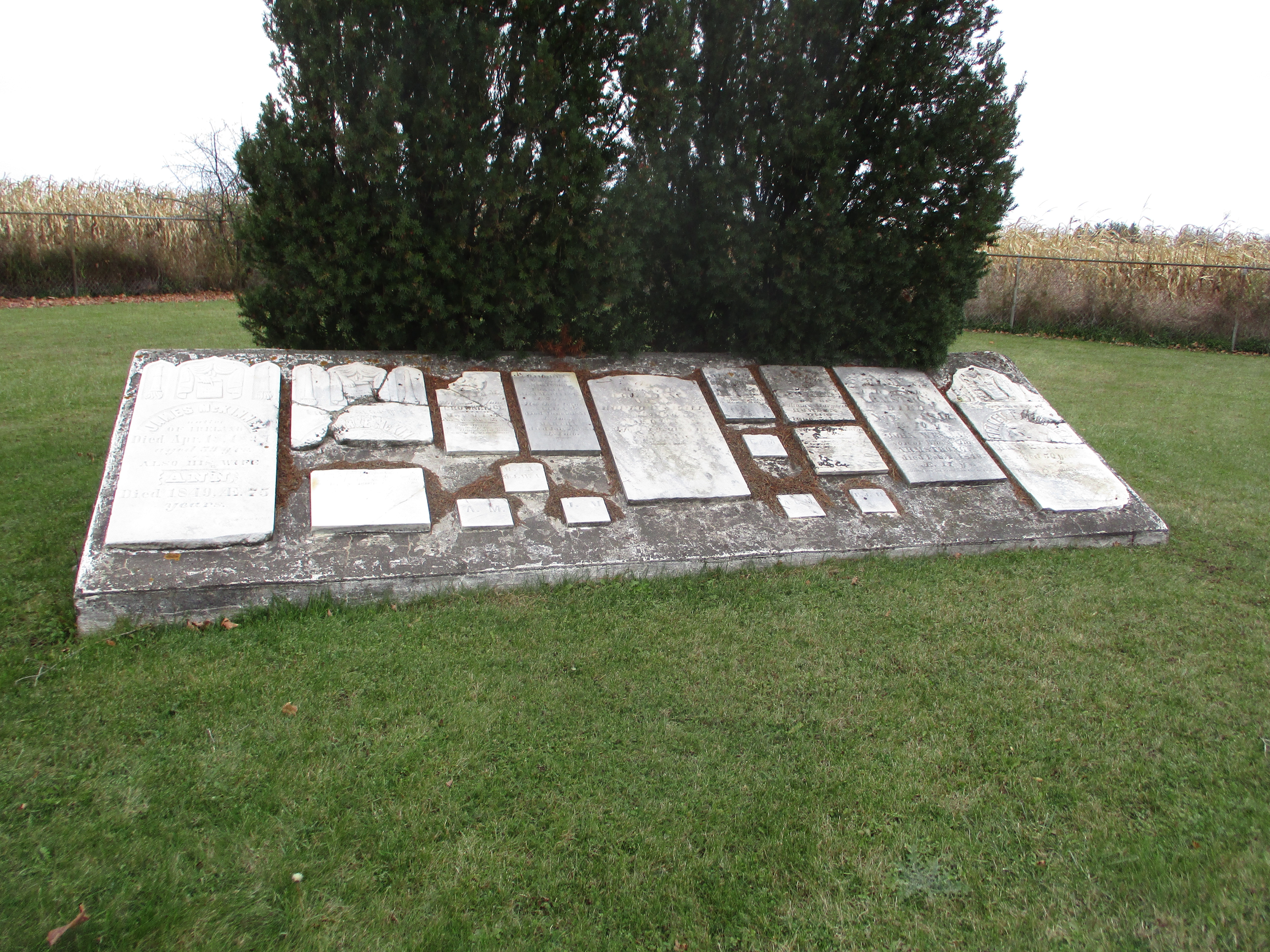
Hornby became stretched out along what is now Steeles Avenue to the point where it was referred to as Hornby and West Hornby.  Two cemeteries mark the eastern site of Hornby.  The Methodist church was originally located on Lot 1 Concession 8 on the corner of the William McKindsey lot.  On April 30, 1832 the land was sold to the Methodist Trustees.  The land actually belonged to Kings College until 1840 and so the indenture wasn’t registered until 1842.  The congregation built a small frame church and began a cemetery beside the church.  They soon outgrew the frame church and moved to a new location leaving the cemetery behind.  It has since been restored with the markers being gathered into a central location for preservation.
IMG_7573

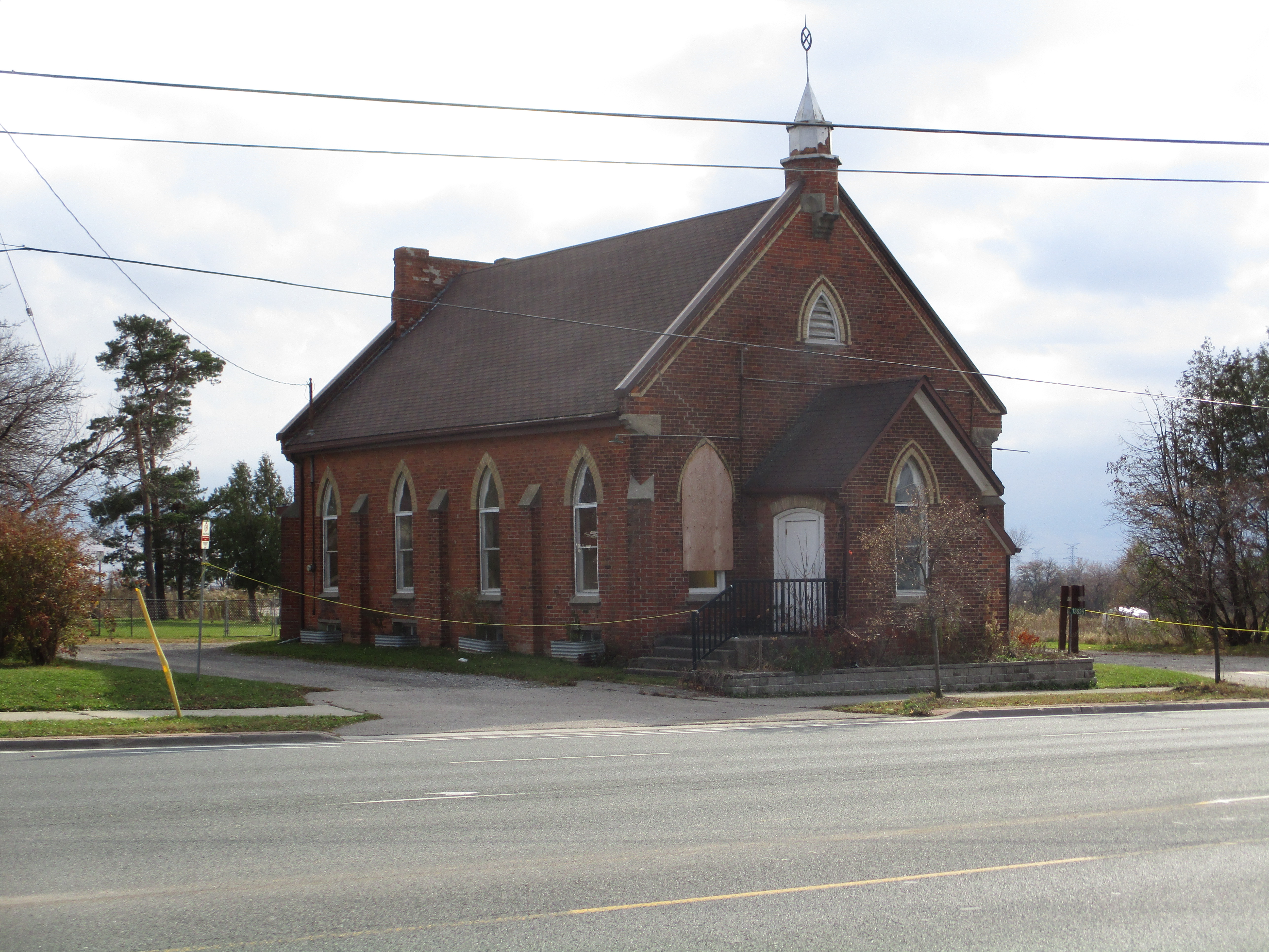
in 1856 the Wesleyan Methodist congregation built a new brick building a little farther west.  This brick building was part of a preaching circuit that included Bowers, Munns, McCurdy’s, Omagh and Bethel.  In 1925 the Methodists and Presbyterians joined to become The United Church of Canada.  This building served the congregation until November 17, 1968 when it was closed and the parishioners joined with the Ashgrove United Church.  Since then the building has been used as the Hornby Townhall.  The spire with finial was built by Gordon Brigden at his machine shop in Hornby.

IMG_7561

The first church built by the Presbyterian Church in Hornby was a frame structure constructed in 1835 across the street from the Wesleyan Methodist Church on Lot 1 Concession 9.  Many of the founding settlers of Hornby are interred here and the cemetery remains active today.  The original frame church was replaced in 1878 with a brick structure.  The congregation did not choose to join the United Church and remained active until 1971 when it was amalgamated with Knox Presbyterian in Milton.  The church building was destroyed by fire in 1978 and arson was suspected but never proven.
IMG_7566

The first school building in Hornby was in a log cabin built in 1826.  It was replaced with a new brick building in 1870.  It operated as a school until 1963 when Pineview school was built on 5th sideroad.

IMG_7565

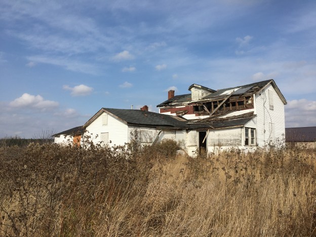
Samuel Brooks owned this one and a half story farm house in 1878.  The property changed hands several times until Frank Chisholm farmed the property through the middle of the twentieth century.  There have been multiple additions to the house over the years.  By the time it was assessed for cultural heritage in 2018 the structure was deteriorating and there was damage to the roof that had been covered over with plastic.
IMG_8401

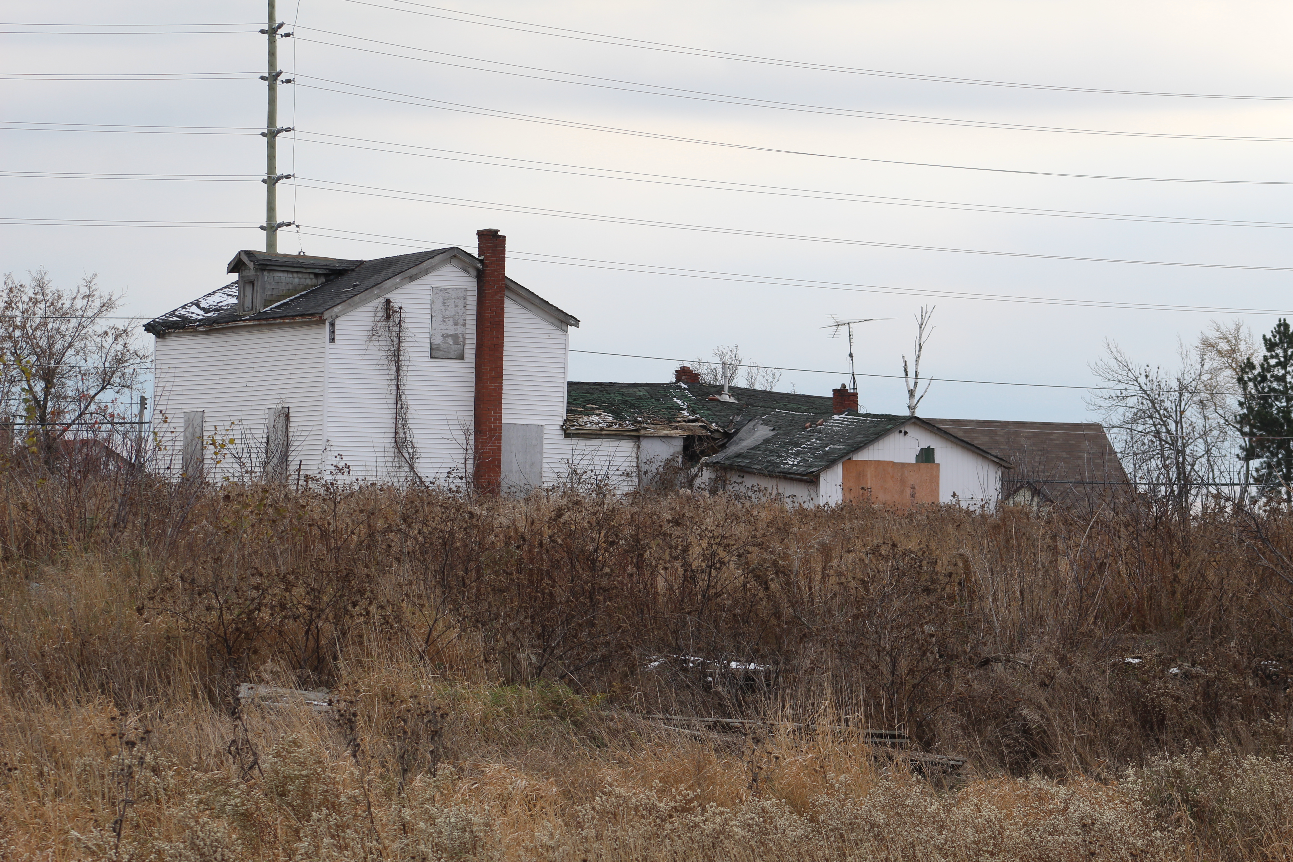
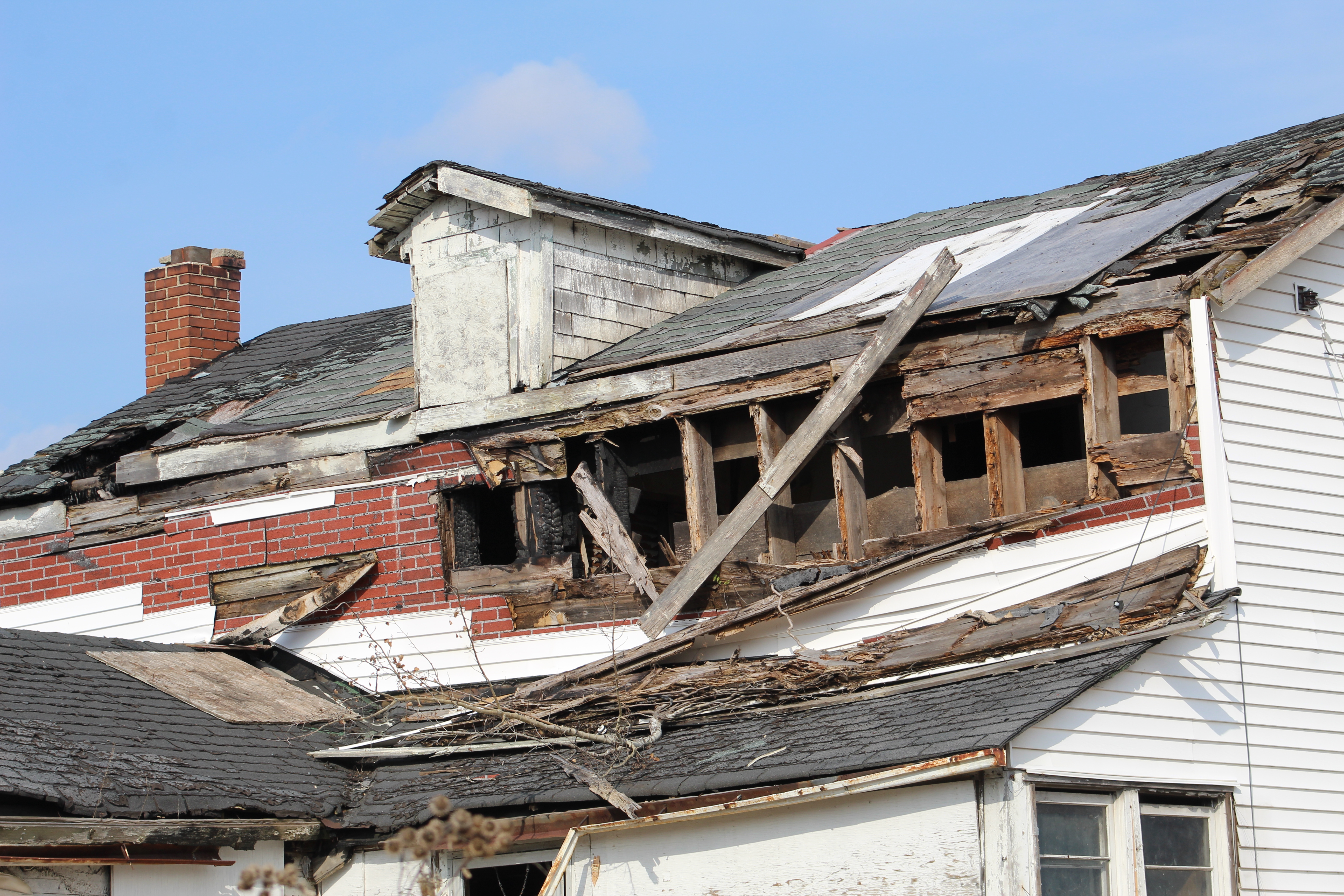
There has been a fire at the home since then and there is little doubt that the structure will be demolished for safety reasons.  As of our visit the back door was open providing access to a very unsafe structure.  It will likely be removed for safety reasons.

IMG_8420

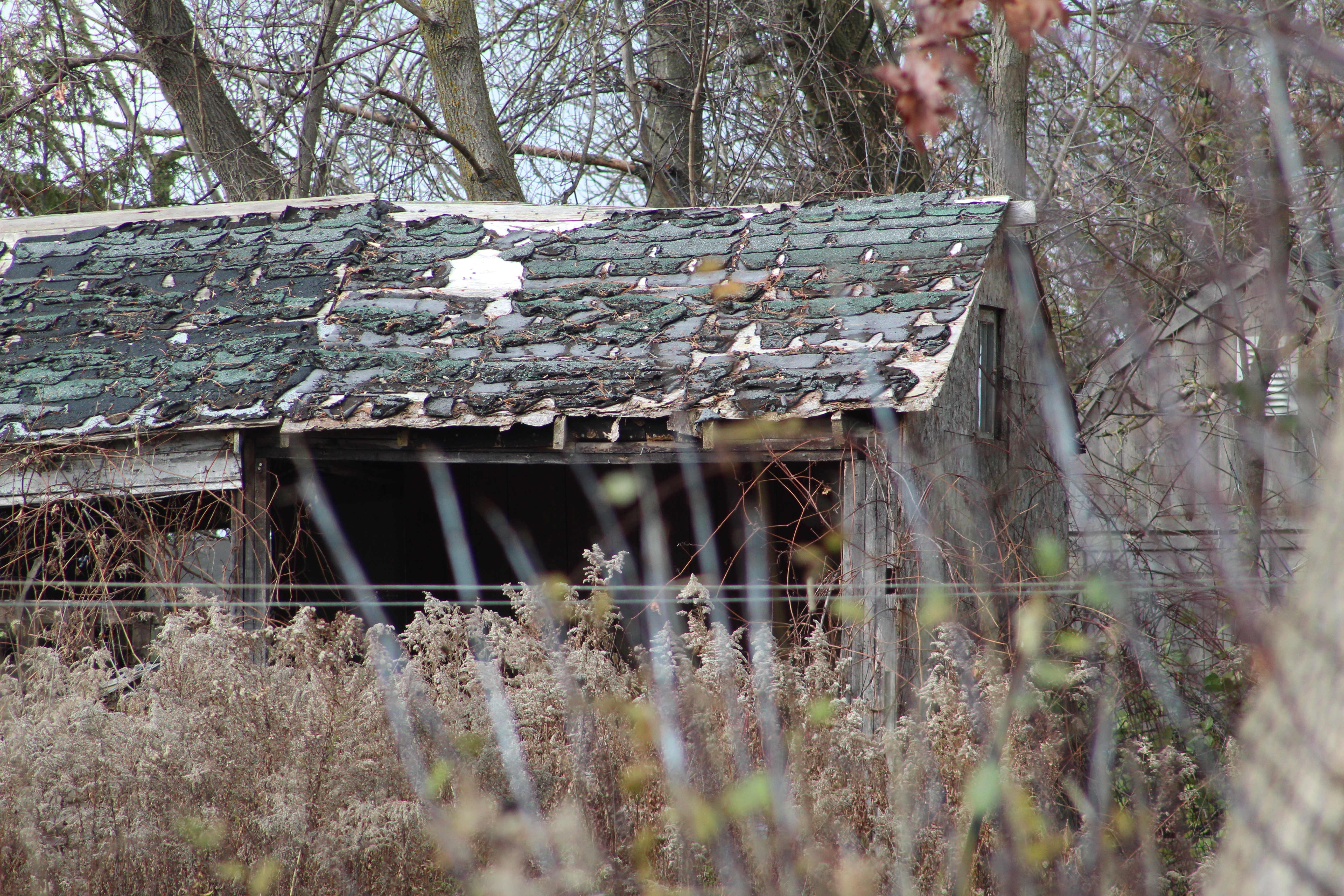
The drive shed on the property is in similar condition and the former farm will likely soon fall prey to the urban expansion that is spreading along Steeles Avenue.

IMG_8435

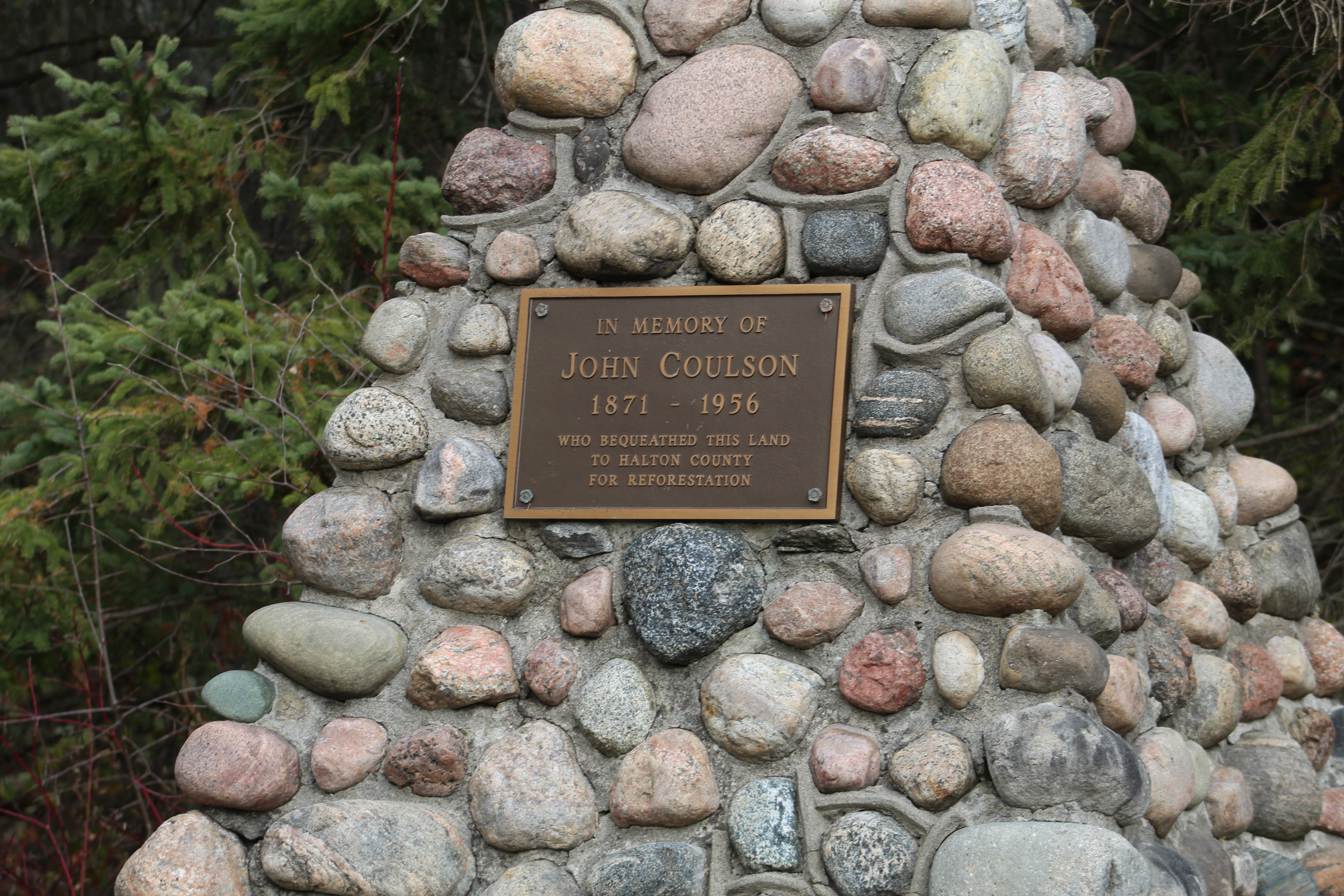
We had parked on Trafalgar Road where there is an entrance to the Halton County Forest.  After making our way through town and back up Hornby Road it was time to cut back through the forest to the car.  There is a cairn commemorating John Coulson who owned the property and bequeathed it to the county for reforestation.  The 89 acre tract was planted with white pine in 1959 and left to regenerate.

IMG_8440

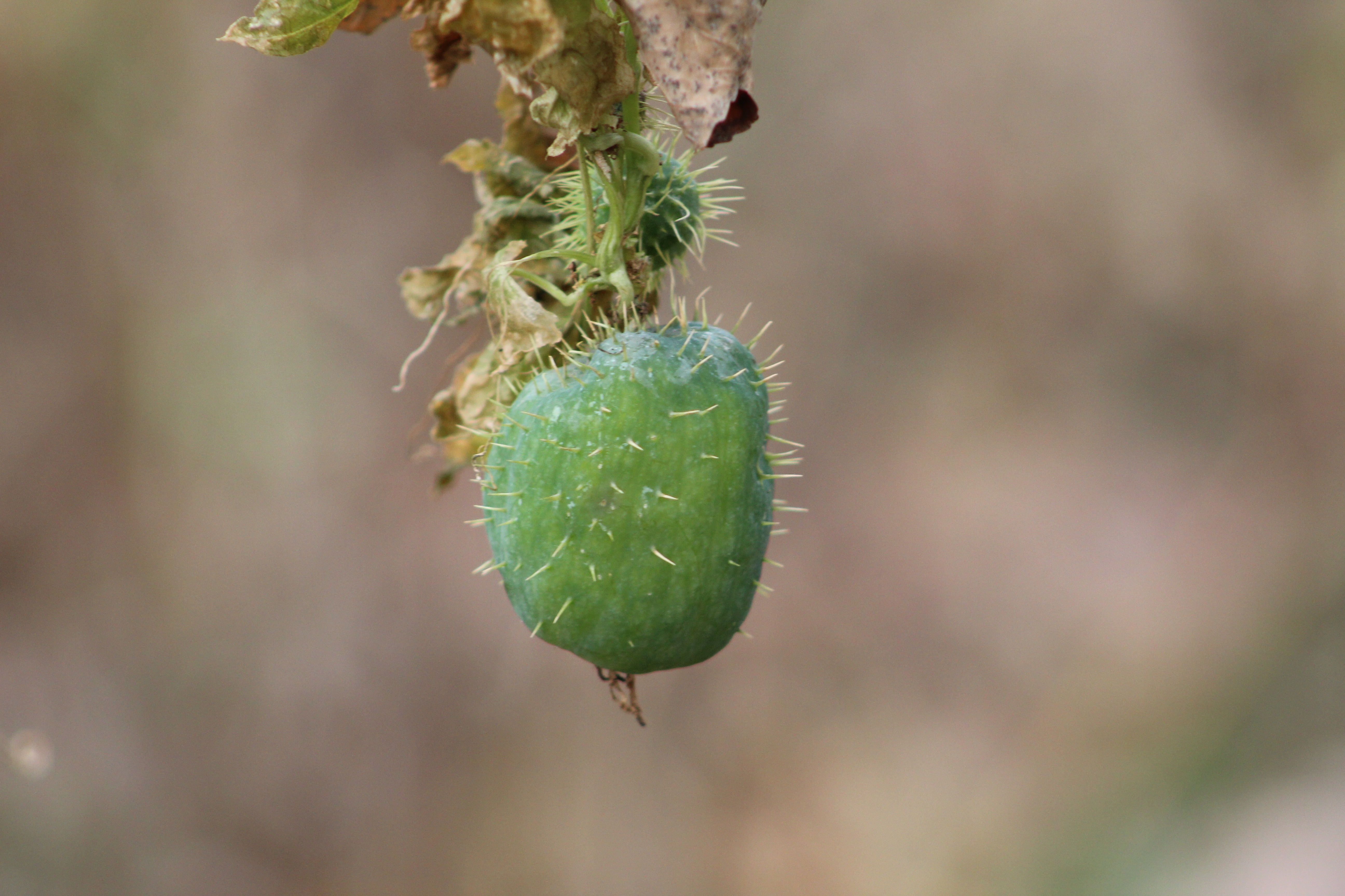
A summers worth of growth goes into producing seed pods to carry on the family line.  The wild cucumbers have produced their edible seed pods, each one containing four seeds.  In the next few weeks the bottom of each seed pod will open up and drop the seeds to the ground below.

IMG_8398

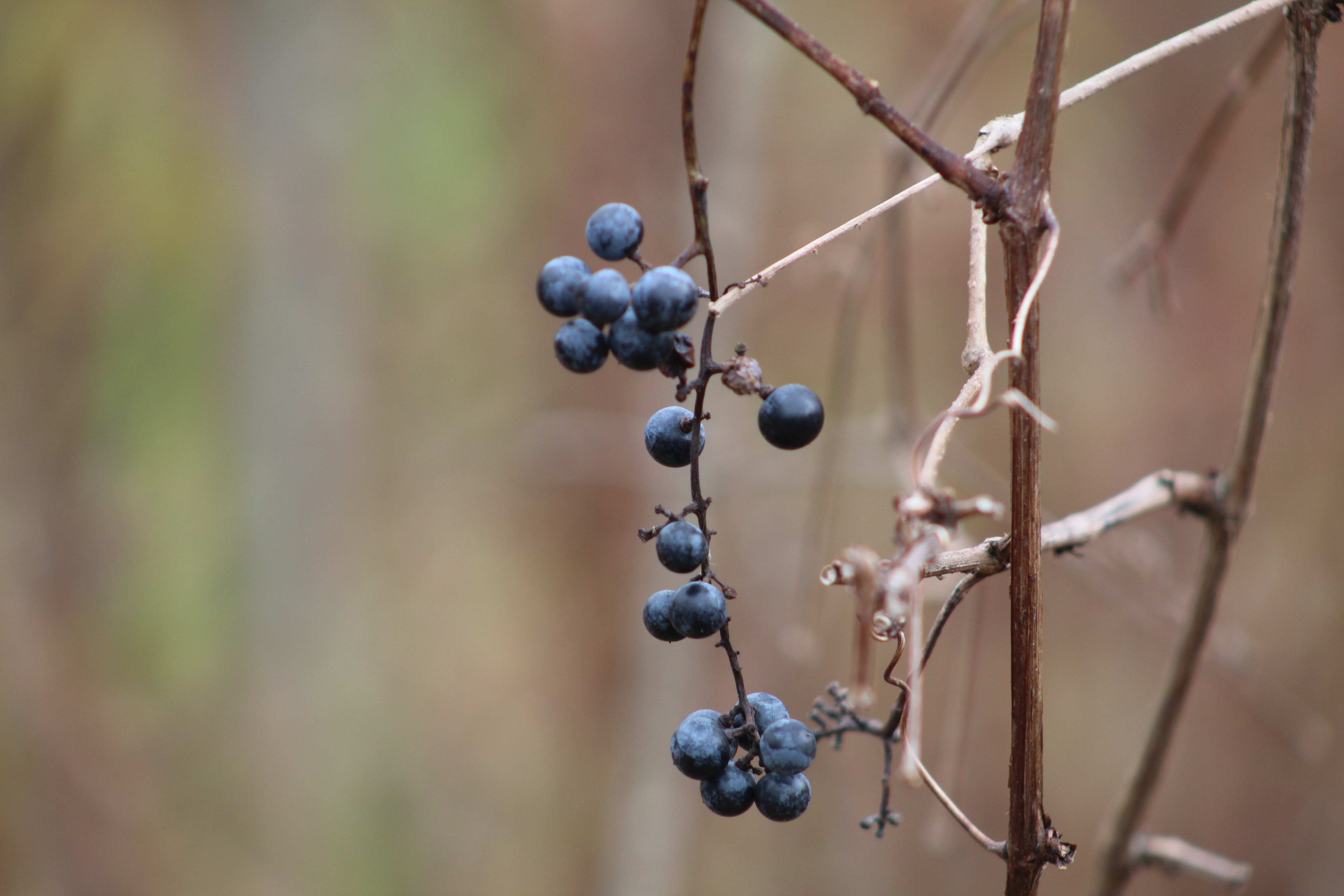
River grapes have also come along nicely this year.  These wild grapes have been bred into our table grapes to help produce a strain that is resistant to our climate.  These grapes can be turned into a tasty grape jelly.

IMG_8394

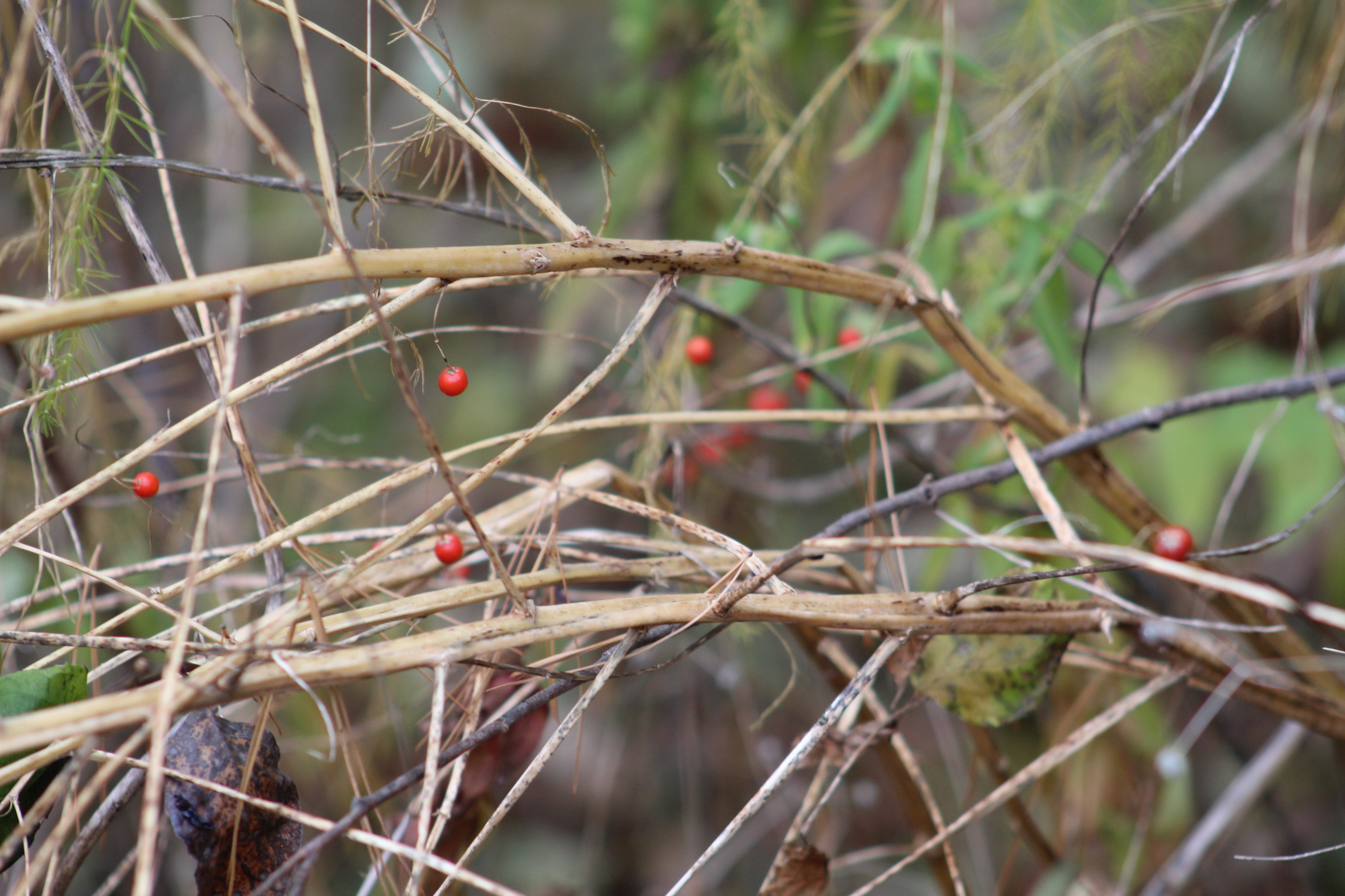
We followed Trafalgar Creek part way through the Coulson Tract and came across a cluster of asparagus that has no leaves but there are still many seeds on it.

IMG_8391

There are still several early twentieth century homes and farms in the Hornby area. but the former community is in danger of being over run by urban sprawl.

Google Maps link: Hornby

Like us at http://www.facebook.com/hikingthegta

Follow us at http://www.hikingthegta.com

Also look for us on Instagram